Soom good 'ol times around Yosemite

After a week break back at "home base" and picking up a friend from LAX, we started our prep for the next trip to Pismo beach. Not really an expedition type trip, but fun nonetheless.

We first had to fix the '83 truck. Several weeks prior to this, something somewhere in the drive train decided to lock up at 55mph. Damage included a blown tranny, stripped ring gear, and some ruined bearings in one of the t-cases (suspected to be the cause of damage). At the point of this picture, the swapped tranny was in, but we had about 1.5 days to put the rest of the truck back together.
IMG_2445.jpg


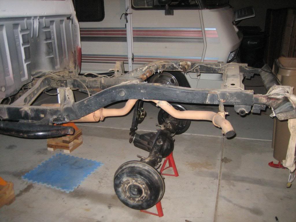
During that day and a half, we finished installing the repaired dual t-cases, cutting the holes in the floor for the longer tranny that was swapped in, got the new spring hangers and springs installed, gas tank and bed put back, rear driveshaft shortened, and got the axle shafts swapped. We finished up at about 2:00am and hit the road a few hours later.
IMG_2460.jpg


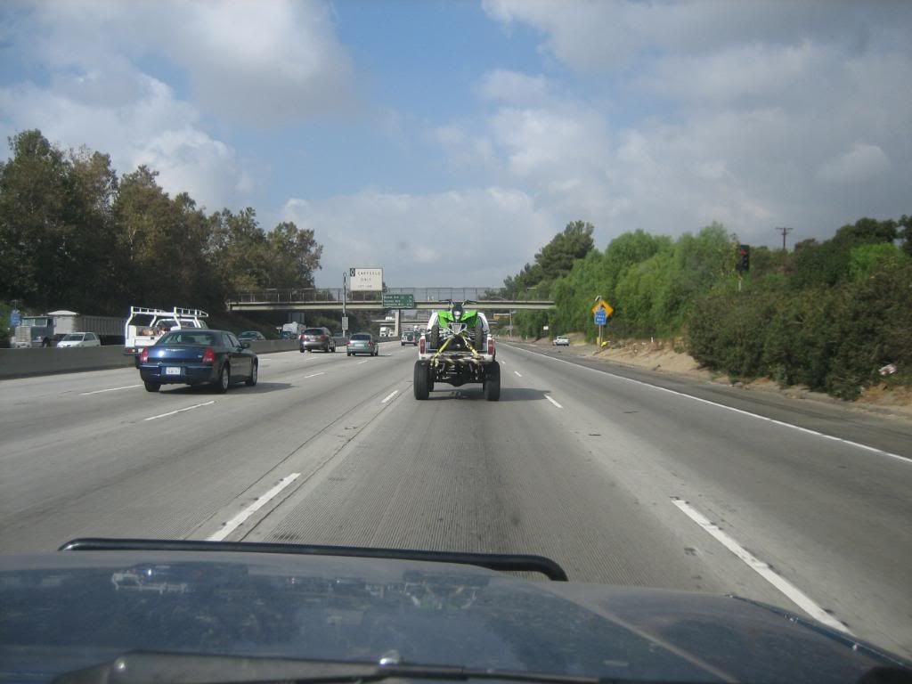
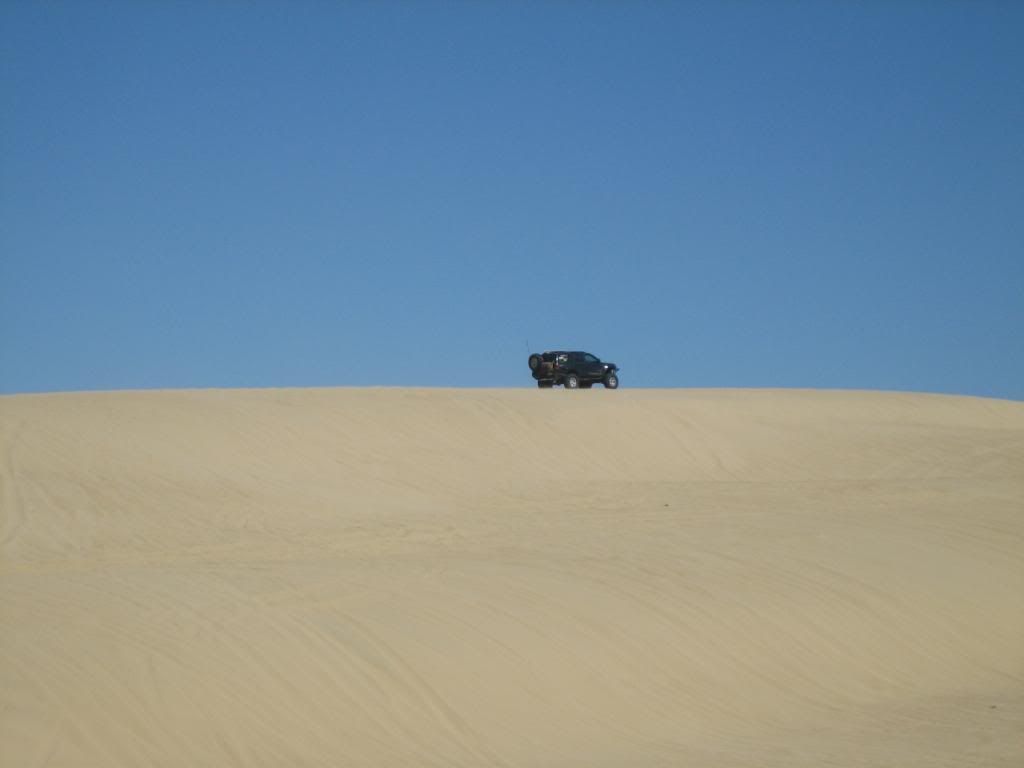
It was worth the work.
IMG_2465.jpg


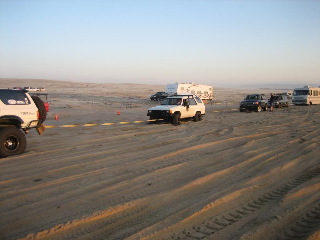
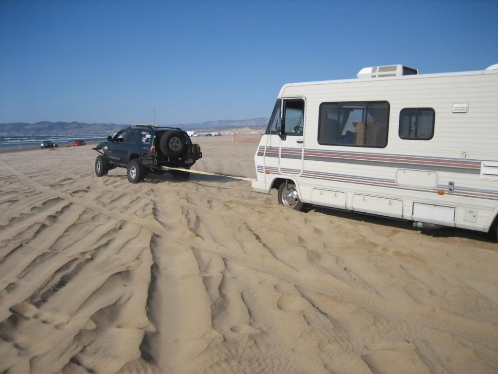
Some fun pulling out a stuck RV at Pismo. It didn't work.
IMG_2468.jpg


IMG_2466.jpg


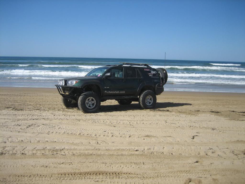
We met up with Lance, who has a very nice 4th gen 4runner.
IMG_2484.jpg


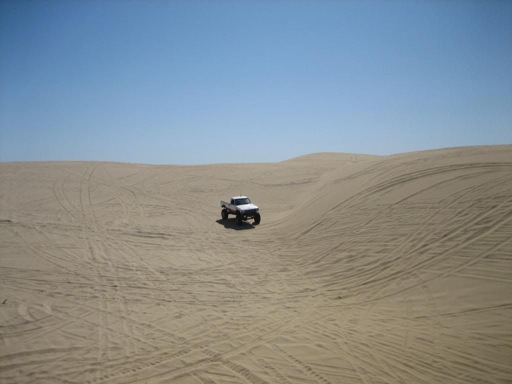
And we had some fun around the dunes.
IMG_2490.jpg


IMG_2499.jpg


Pulling out a stuck RV again (for the 3rd time).
IMG_2531.jpg


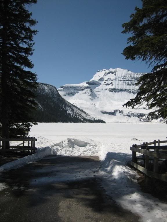
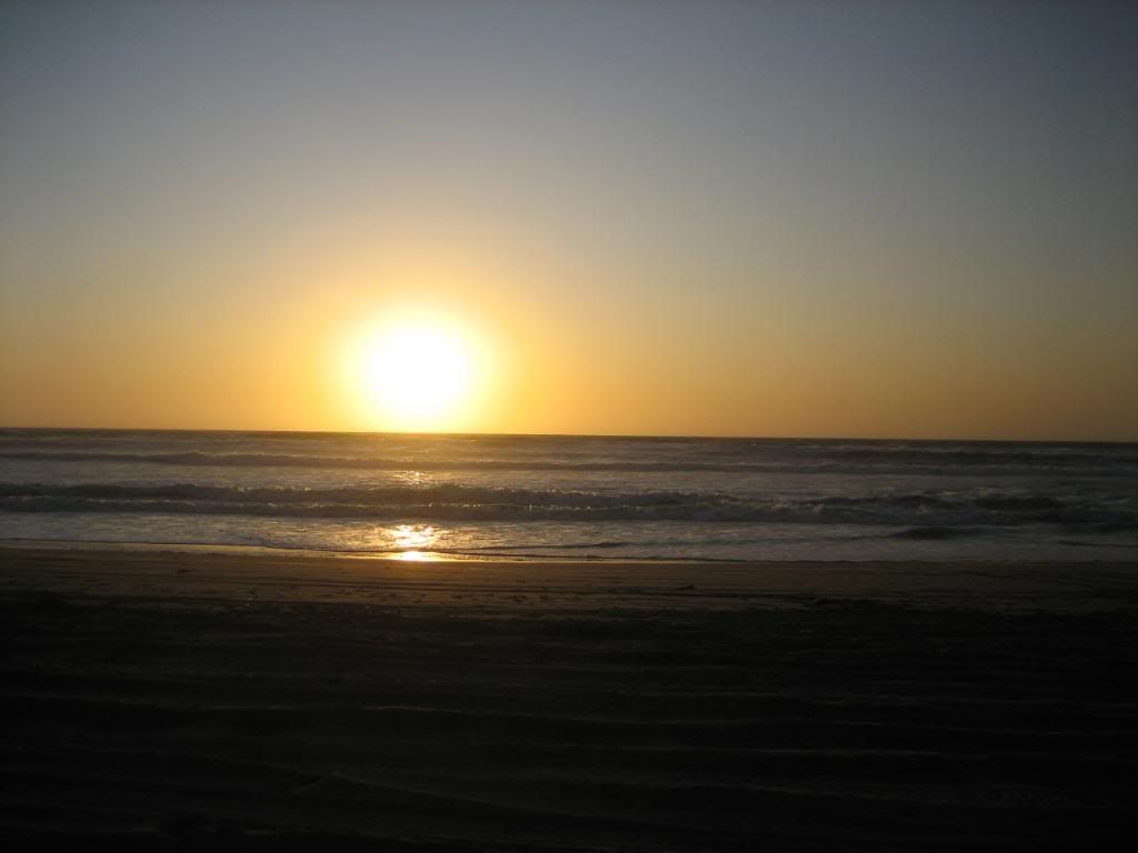
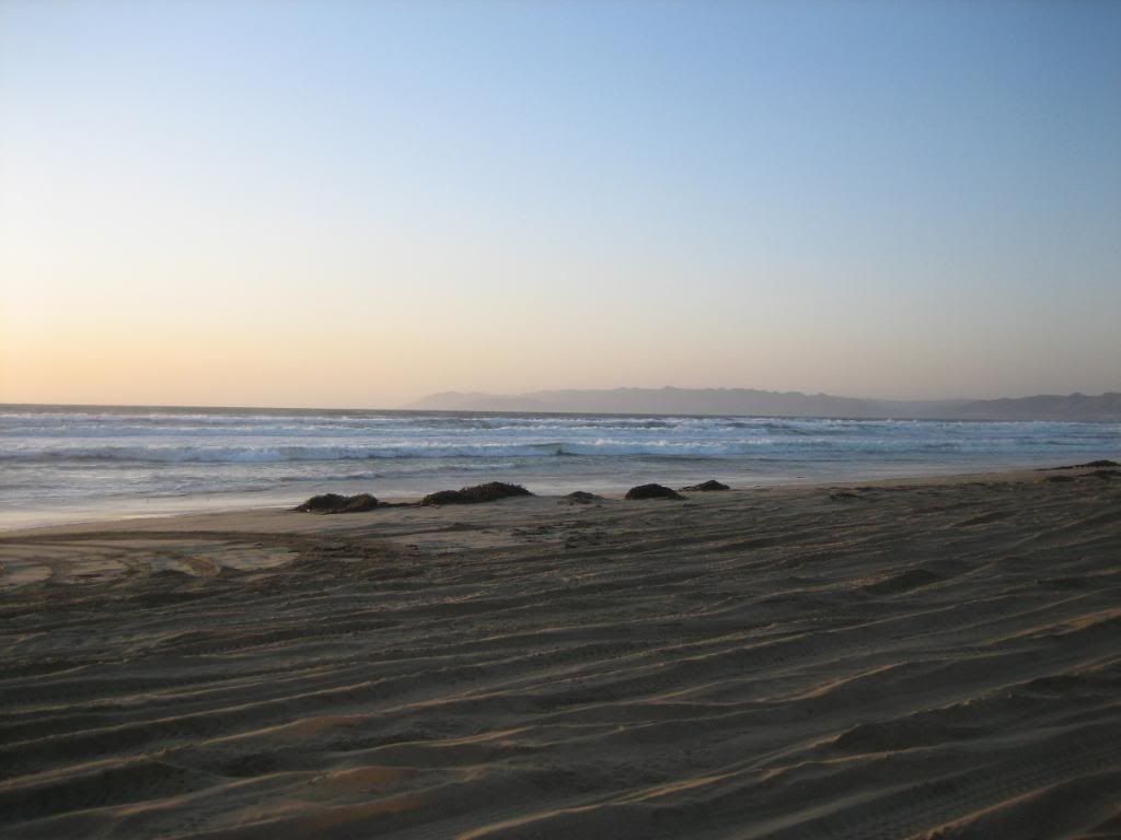
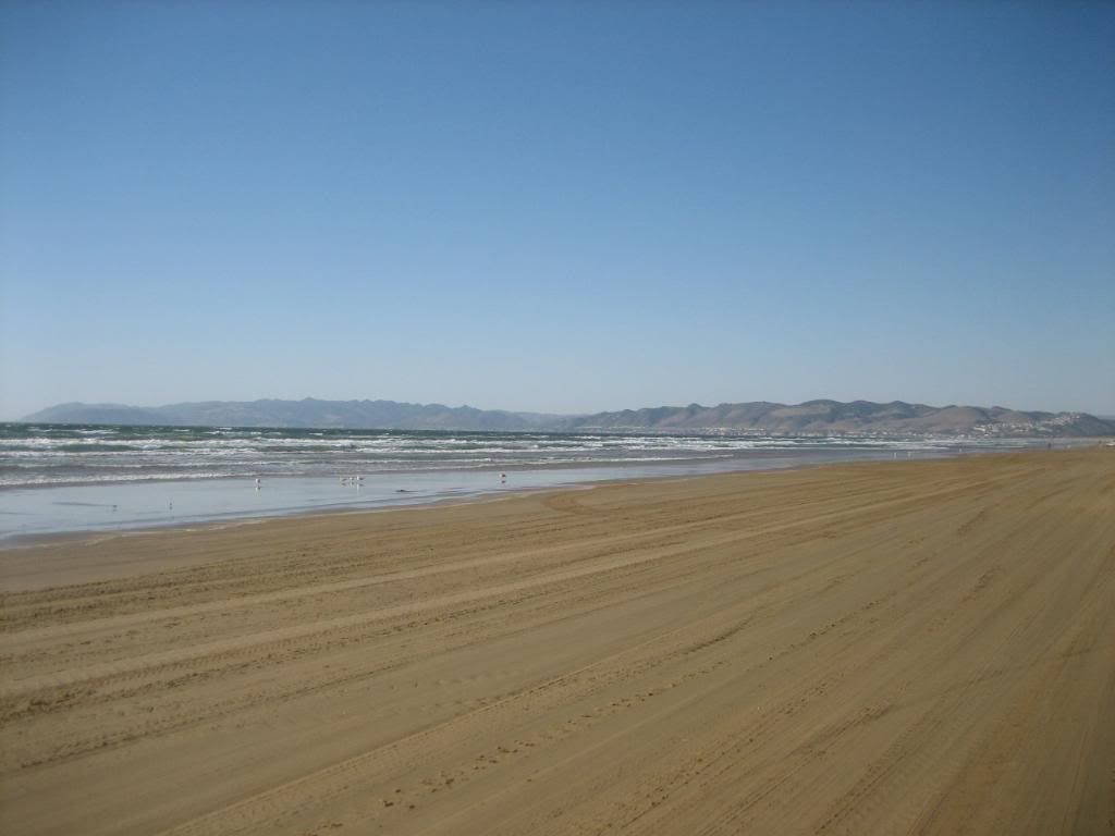
I'm going to miss the West coast.
IMG_2533.jpg
 
Last edited:
I had a great time in CA, and met some really great people and fine hospitality. I love the wide open spaces of the West. I just graduated college, and I'm seriously considering a move out that way. If I can find work that way, I just may have to move there. :sombrero:

More photos from this trip, as well as my trips to Montana and Mexico (neither of which were what I would call "expedition style") can be found on my photobucket. http://s297.photobucket.com/albums/mm233/DHC6twinotter/

Thanks folks!
 

RedDog

Explorer
Fantastic Daniel! Just like being there.

Some of the early Yosemite shots are carbon copies of McLean Creek area trails SW of Calgary between Bragg Creek, Alberta and the Rockies beyond Kananaskis toward Banff.

I was at Pismo Beach a couple times many years ago and those shot brought back great memories too. Thanks for posting and best of luck with a possible move west.

Thanks!

I was in Glacier and Waterton Lakes for a week long trip the past 3 summers. I don't think it's too terribly far from the area you're talking about. Absolutely gorgeous up that way! One of my favorite pictures from up that way:

IMG_1766.jpg
 

RedDog

Explorer
Waterton-Glacier International Peace Park straddling the Alberta-Montana border. Not all that far south from the region I referred to.

A few of us from both sides of the line are gathering in Kalispell, MT in July. I'll take lots of photos.
 
Waterton-Glacier International Peace Park straddling the Alberta-Montana border. Not all that far south from the region I referred to.

A few of us from both sides of the line are gathering in Kalispell, MT in July. I'll take lots of photos.

I never did get a chance to visit Kalispell, or any of the area on the western side of Glacier. We always left Kalispell as an option of flying into, but we were always able to get flights cheaper going into Butte, Billings, or Great Falls.

I'm really looking forward to those photos! It's a nice area up through there.
 

SirCampalot

Adventurer
Great pics! Could we get more info on the trails in/around Yosemite? I've been itching to take a weekend trip to that area. Thanks!
 
Great pics! Could we get more info on the trails in/around Yosemite? I've been itching to take a weekend trip to that area. Thanks!

Yeah, sure thing! I'll have to send a message to one of my friends out that way and see if they have the info. I flew out there and just rode along, so I can't say for sure how we got there. :sombrero:

I just found this link: http://www.pashnit.com/forum/showthread.php?t=14296

There is a map there and more pictures, but I'll try to get more specific information for you.
 
SupraTuRD, the directions we followed are from this book:

High Sierra SUV Trails Volume II The Western Slope by Roger Mitchell

The first trail we took was to Iron Lakes, and the second trail was to Shuteye Peak. We followed the map that was in the book, so unfortunately, I don't think we have any maps or really nice, easy to read directions. The book has the directions, but also includes alot of history and geology of the area, so the directions are spread out over about 4 pages. Sorry I'm not much more help.
 

BKCowGod

Automotive ADHD is fun!
Great pix, I love reading first timer descriptions of the places I have come to know, love, and take for granted. Gives me reason to get up off my lazy butt, toss the mattress in the Jeep, and get out there!
 

Forum statistics

Threads
189,798
Messages
2,920,959
Members
232,931
Latest member
Northandfree
Top