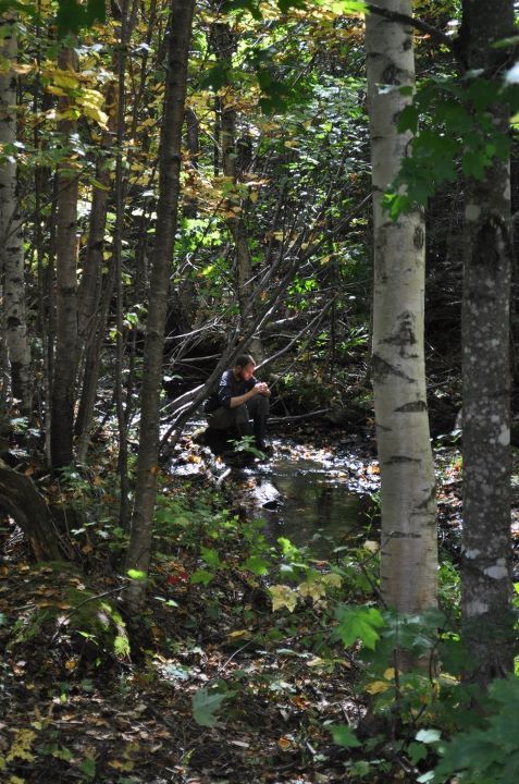
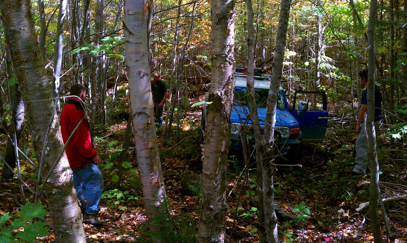
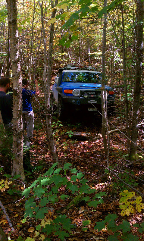
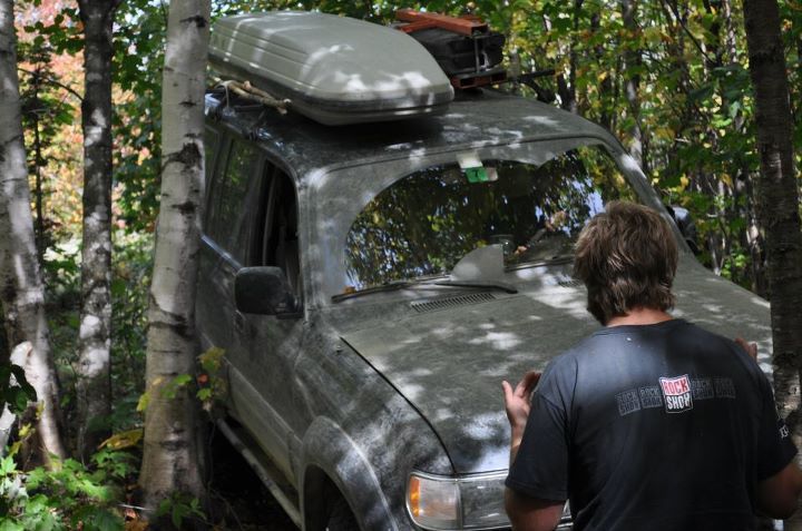
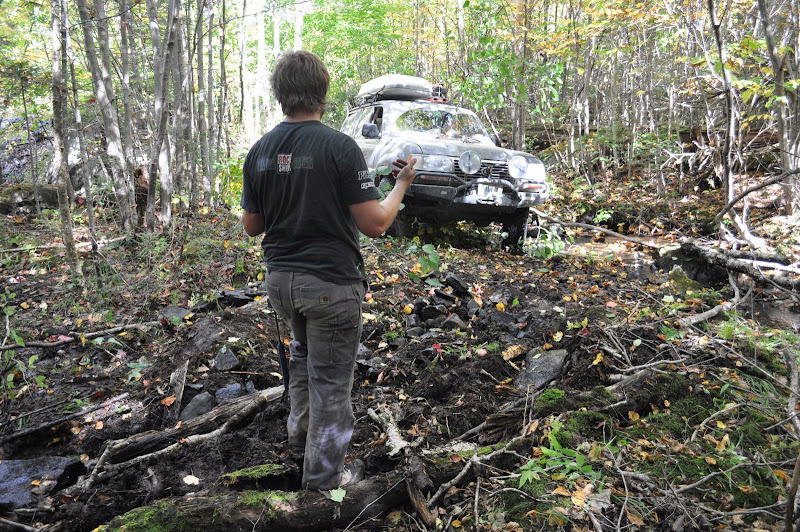
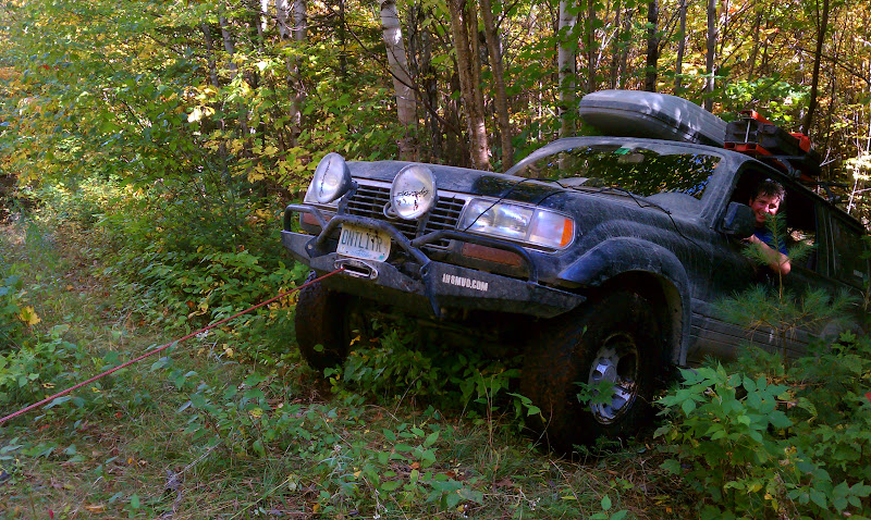
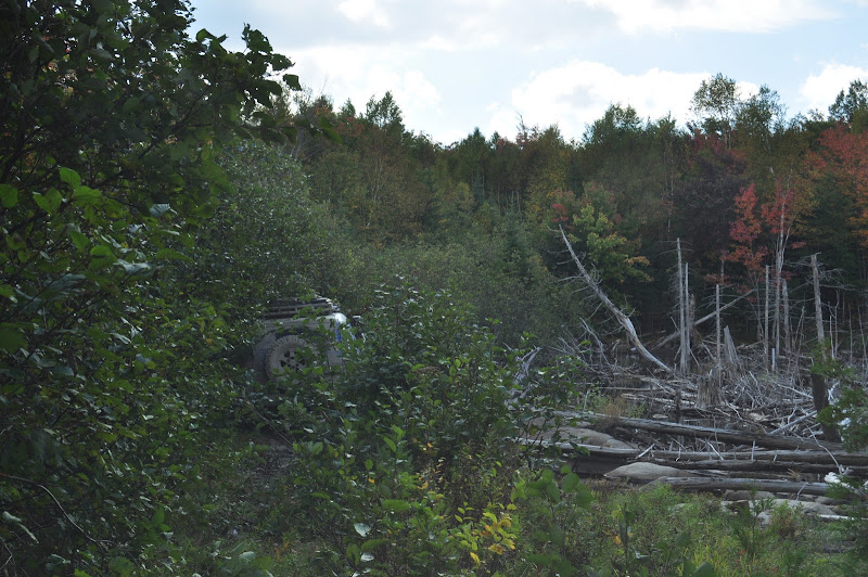
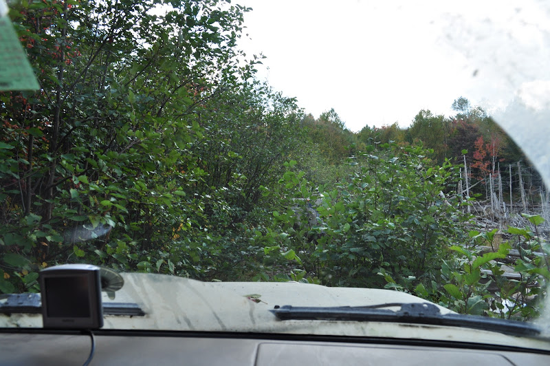
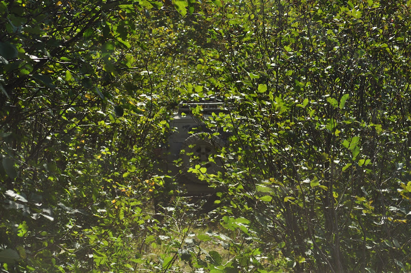
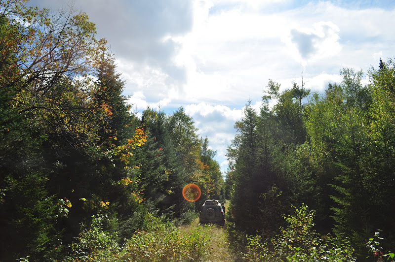
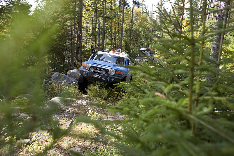
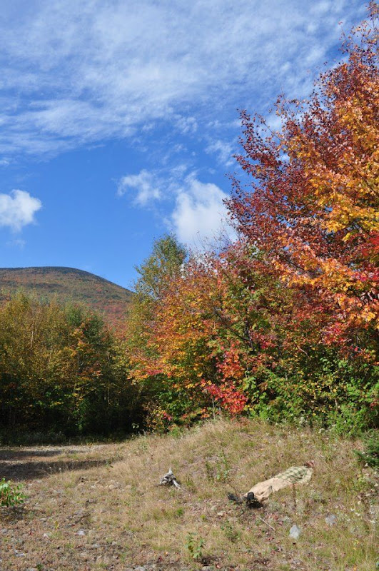
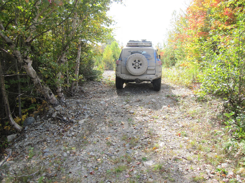
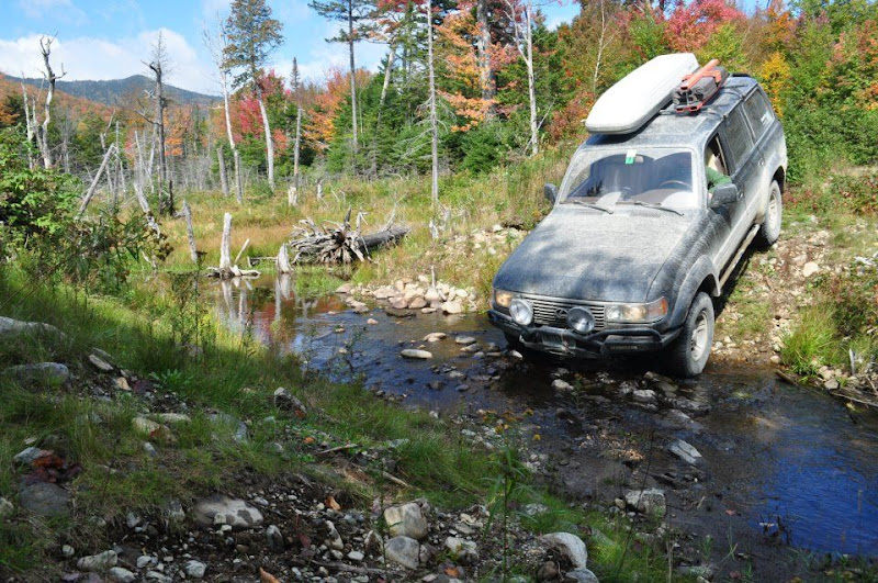
Creeping through the narrow opening in the trees I realized there was nobody to spot me through here - where the heck was everyone? I should have waited for a spotter but I kept going an inch at a time.
Mistake one.
Moving forward inch by inch, I brought the nose of the truck around the tree with the front left tire flexed up on a moss covered rock.
I should mention I wasn’t aired down.
Mistake two.
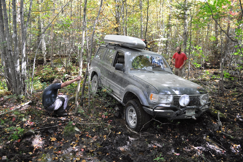
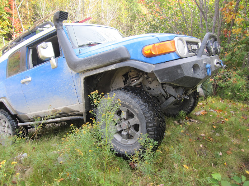
As I cut hard right to avoid a tree in front of me I slipped off the rock and hit a tree with the passenger mirror. Luckily it just folded the mirror in with no damage. Reverse - I’ll back out. Spinning wheels. Every movement put me harder and harder into the tree, until I was completely resting on my passenger mirror and unable to drive forward without ripping it off. By this time everyone had appeared and I told Josh he was going to need to pull me backwards. The stress level was rising - we needed the winch and the back of the FJ was barely off the main road.
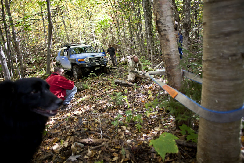
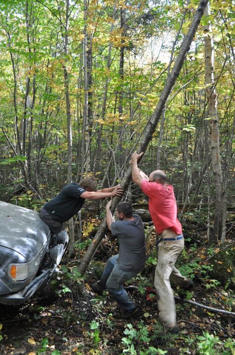
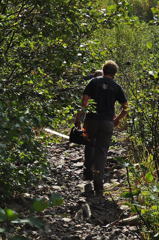
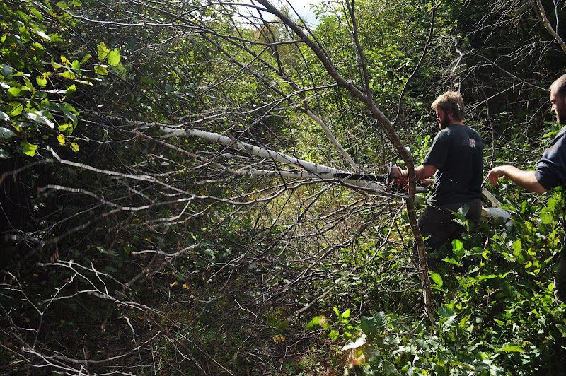
Josh got the LX in position to pull me backwards and readied his winch while I gave orders to everyone else to clear the path ahead of the downed trees and branches. I’m sure everyone could sense the stress at this point, but I’ll stop and add up everything on my mind right now...
- FJ stuck against a tree, almost surely resulting in body damage
- Running low on fuel
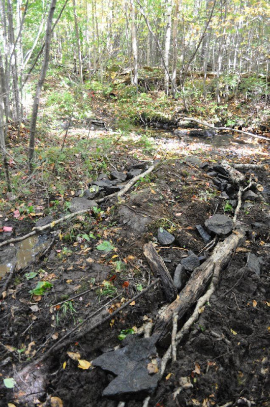
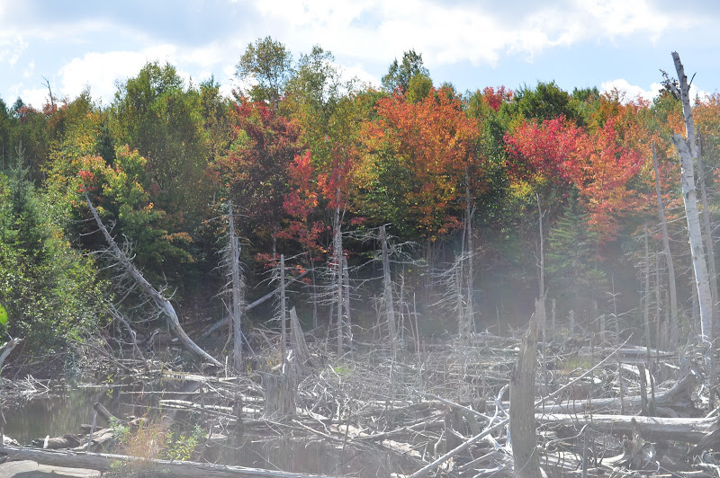
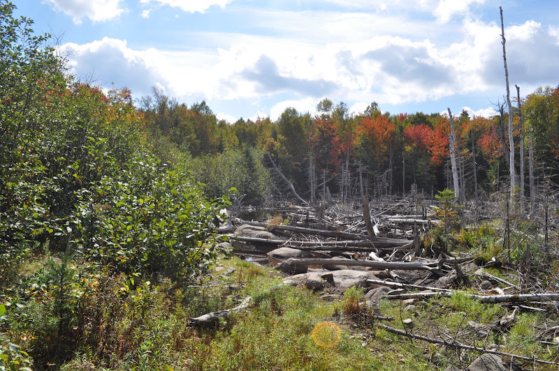
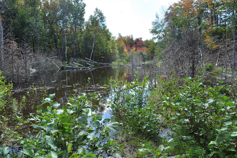
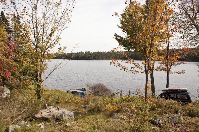
- Still need to get FJ and LX-450 through tight & muddy bridge bypass
- Several miles of unknown trail and obstacles ahead
- Now 1:00 PM
- Possibility of having to turn around and come back through
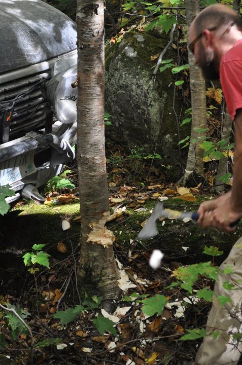
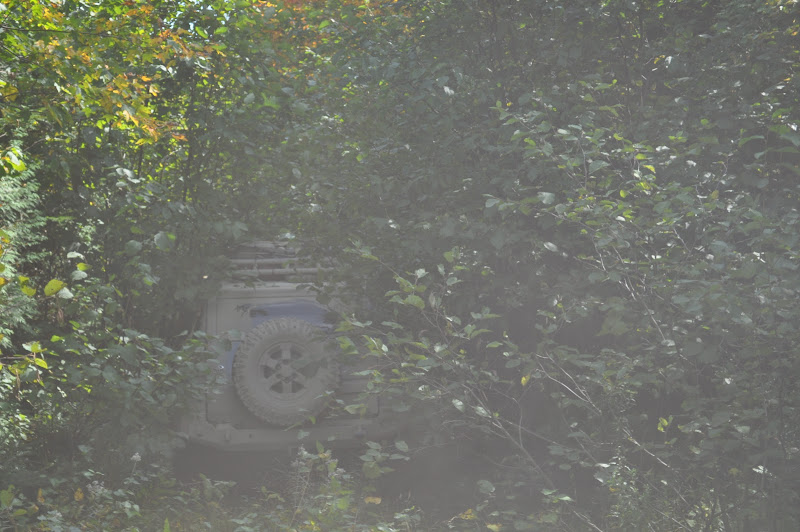
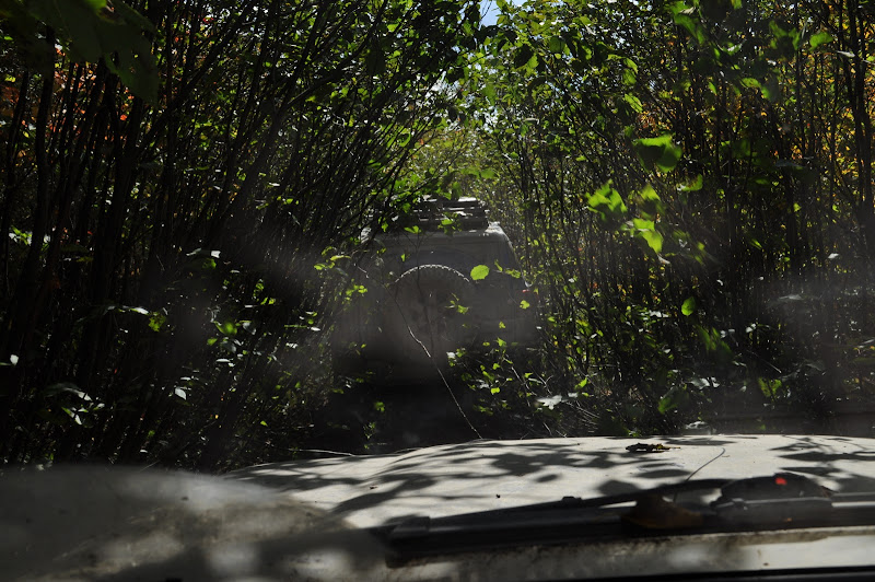
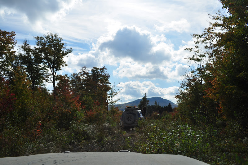
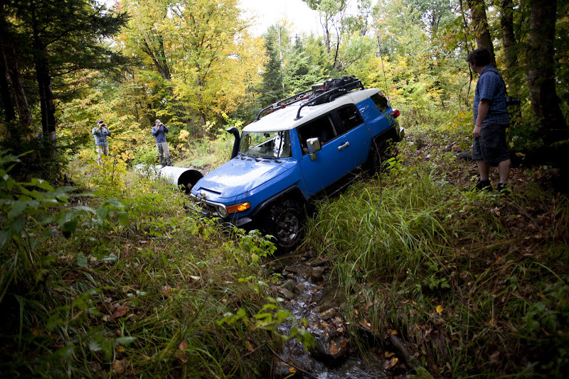
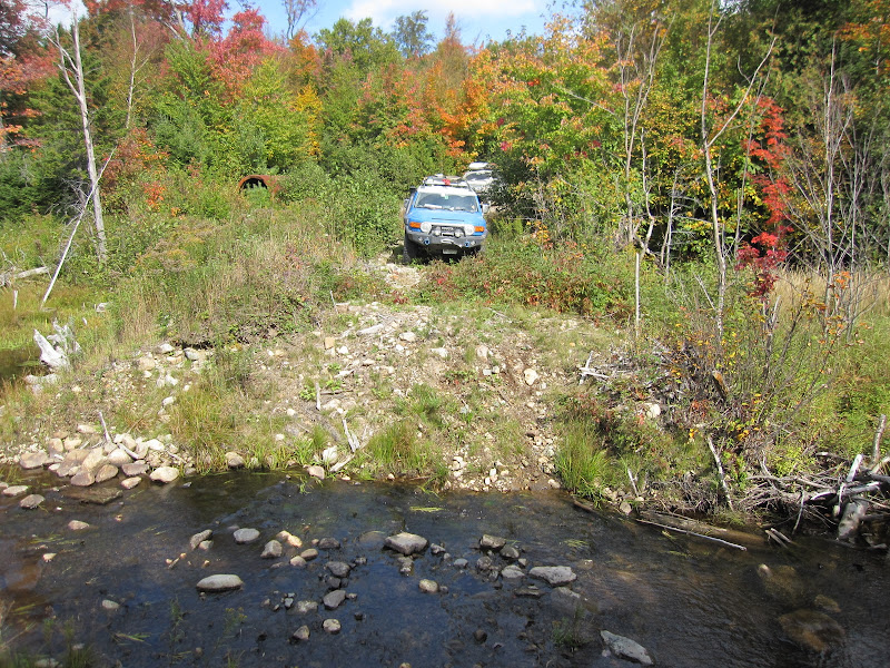
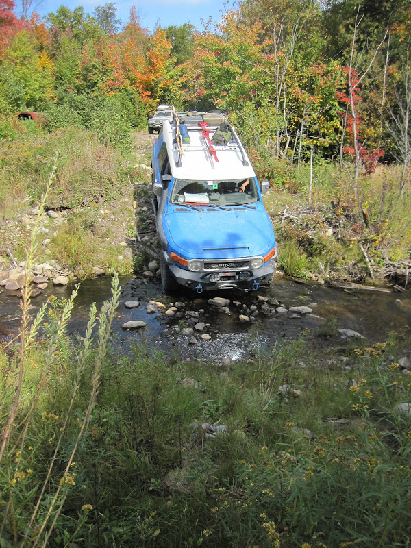
I stopped to ask Josh if he was comfortable driving through - he was. We pulled the FJ back away from the tree and I prepared for a second attempt with Josh as my spotter. Negotiating the tight trees, big rocks, and roots was not easy - even with a second set of eyes. But I made it through - just barely - by pushing a tree aside with the steel front bumper. That investment has more than paid for itself. The FJ was through the tightest section and we all took a break for a minute to make a plan for the mud...
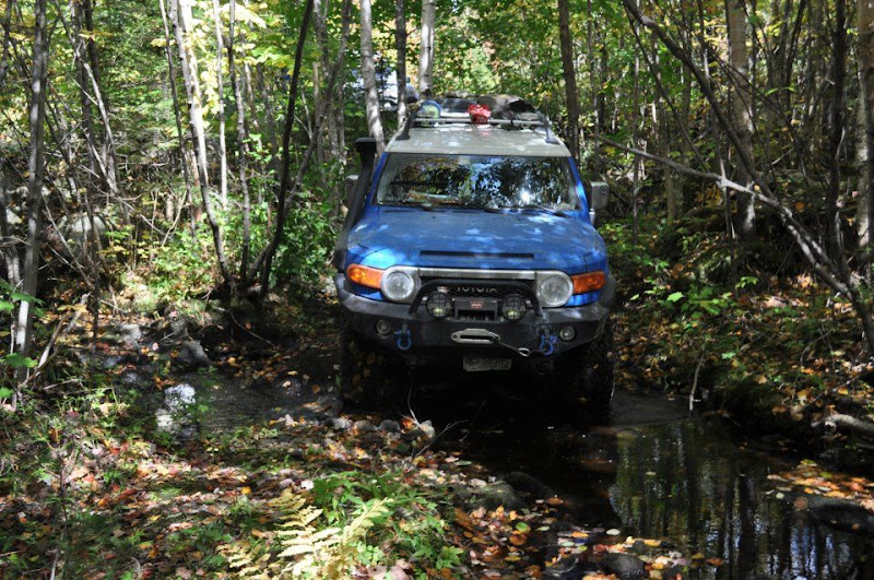
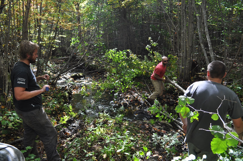
There wasn’t much of a plan since there wasn’t much we could do. There was extremely soft mud on both sides of a large rock protruding at a perfect height to catch the rear diff. My only hope was to try and ride up on the rock with the front and hope the rear followed.
4-Low. Locker.
Snorkel engaged. 
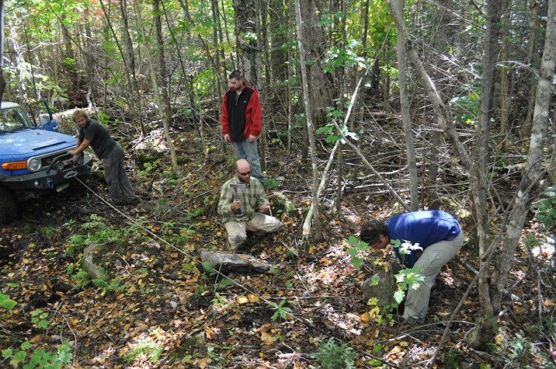
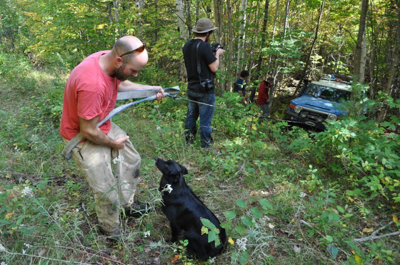
Pulling forward in second gear - in case I needed some wheelspin - the front wheels climbed rock, then immediately slipped off into the muck and I just kept going as it wasn’t going to get any better. This worked for another 5 feet until the pumpkin hit the rock and I was stuck with all four (three) wheels spinning. At this point I had no choice but to winch the diff over the rock. I didn’t want to risk getting Josh’s vehicle stuck behind me and I couldn’t back up. I pulled line and Erek hooked up the cable. I slowly scraped over the rock with the front wheels digging in until the truck rested on the skidplates.
I gained some ground here but the trail turned 90 degrees here and the winch was now pulling against me. Erek un-hooked the cable and I tried to move under my own power - nothing. Hooking to another tree I was able to pull around the corner and up a small ledge, ready for the final ascent up the 7 foot high bank to the road.
Erek ran up to the roadbed with the cable as I crept the front wheels up. As the back started to climb the inclinometer was well past 30 degrees - and I started sliding. Quickly standing on the brakes as hard as I could I locked the rear end again and thought about hooking to the trees. I decided to give it another try.
mistake three.
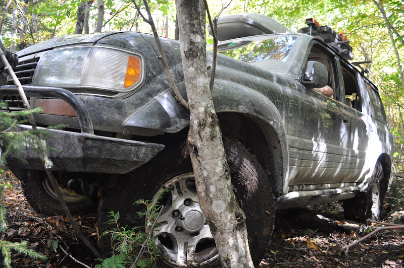
As I let off the brakes I couldn’t let the clutch out fast enough and the FJ rolled back quickly. I stood on the brakes again but it was too late - *CRACK* my passenger mirror hit a tree.
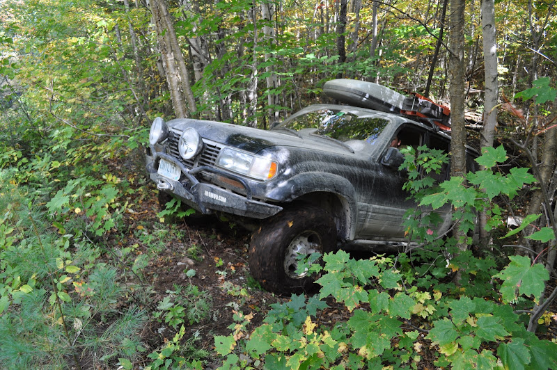
Luckily, only the plastic broke and the mirror was intact. I was now stuck up against a tree on the driver’s side, and would have to winch out. Erek wrapped the tree strap around a large stand of alders he hoped would hold, and I loaded the winch. The angle was so extreme the rope bent around the curve of the banking as I started to pull myself up. Winch whining, creeping slowly up the banking the FJ finally crested and was on the road.
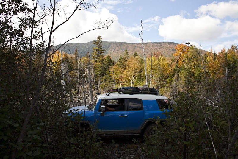
Everyone was relieved until I reminded them we would have to get Josh’s considerably larger LX through the same spot.
")


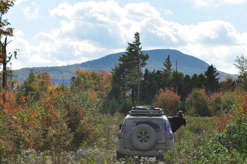
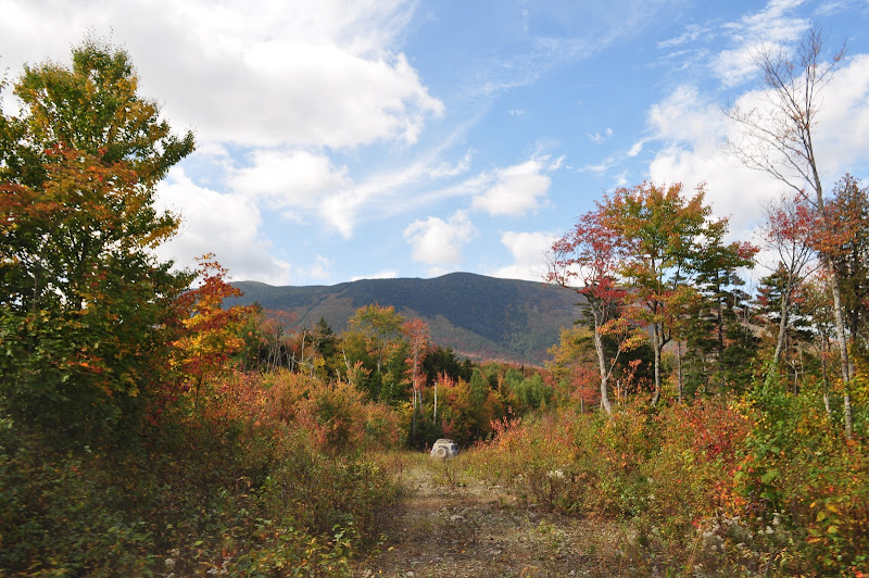
") We would have to find a way around, or turn back altogether. I was not about to turn around now only a few miles from our goal.
We would have to find a way around, or turn back altogether. I was not about to turn around now only a few miles from our goal.