ttora4runner
Expedition Leader
Next, month I’ll be heading back to Colorado to start on another short term construction project and I had been feeling the urge to get out and do some more exploring. On top of that I’d had been feeling some stress and tired from work so there was no better way to get rid of that stress by getting out. A short camping trip the week prior with an old friend and his family just outside of the Salt Lake area relieved the stress I was feeling but it didn’t quench my desire to get out exploring. So had started doing some searching as to where I wanted to go Moab, Four Corners area, Zions, Bryce or maybe head over to Nevada and explore some old mining districts.
Needless, to say Nevada won out. I guess the need to explore an area that haven’t seen too many trip reports on or the remoteness of it or just what made it seem like the logical choice. My research mainly consisted of looking at though the ‘Benchmark’ Nevada book at these two website along with some random google searching:
http://www.ghosttowns.com/states/nv/nv.html
http://silverstateghosttowns.com/ghosttowns.html
Between these three sources I was able to plot my route or at least a general route – built in some flexibility for trail conditions and fuel options. The plan was to exploring some of the old mining districts in the Spruce Mountains and Schell Creek Range. Depending on time and fuel I had looked at heading out to the Nevada/Utah to explore some out sites but that didn’t happen this trip.
Come Saturday morning I let my family and a member of the Wasatch Cruisers who lives in the area my plans encase an issue arose. Saturday morning I was out the door a little after 500 am and headed towards Wendover, Nevada. After filling up my tank and my spare fuel can I was back on the highway towards Wells, Nevada and highway 93. Again, after reaching Wells I top off my tank (ya I only put 60 miles between fill ups but I wanted a full tank) and headed off towards the Spruce Mountains and Spruce Mountain road for the first leg of the trip; looking at the ‘silverstateghosttowns’ there are 8 old mining sites in the area – I found 9 using my gps.
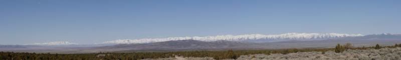
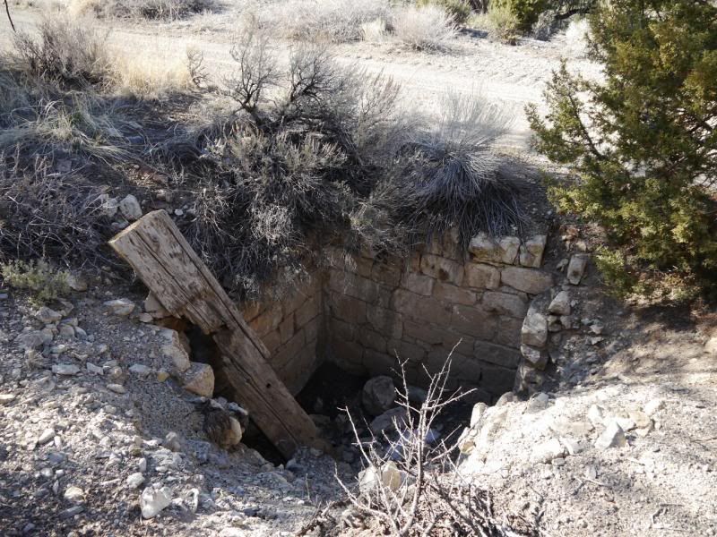
On the way out I had been watching the snow levels and trying to determine how far up I would be able to make it up the mountain. Upon reaching Sprucemont I knew that I wouldn’t be able to make it too far up the mountain. With that said I was able to explore Sprucemont, Standard Mine and Ada H. Mine with a failed attempt to find Paramount Mine.
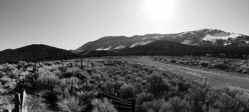
Looking back on the road to Sprucemont

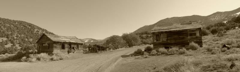
Sprucemont, Standand and Ada Mine area:
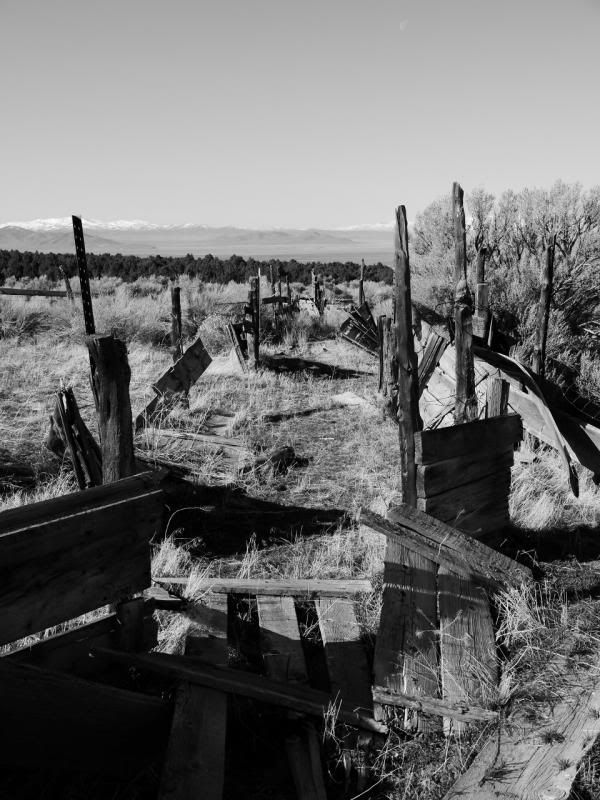
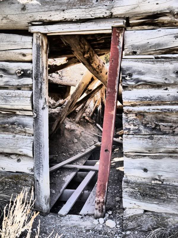
Old Foundation Wall
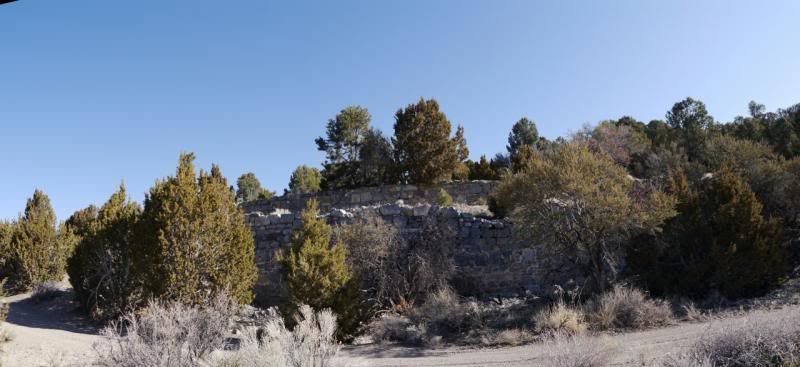
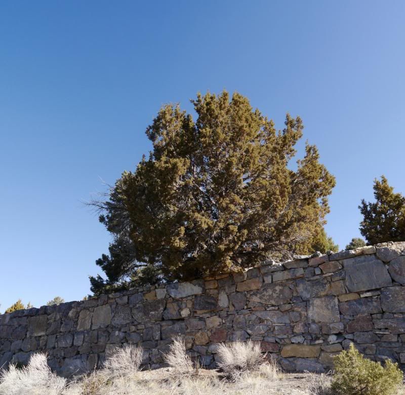
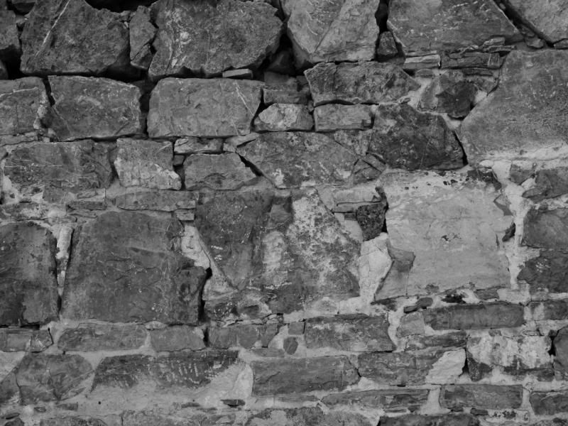
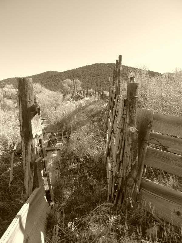
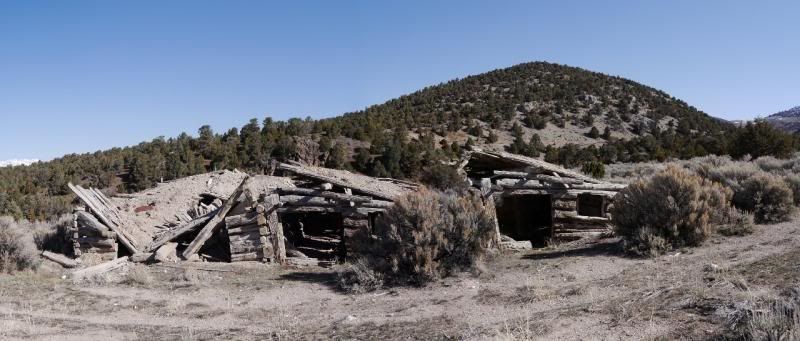
Site of Sprucemont.

Needless, to say Nevada won out. I guess the need to explore an area that haven’t seen too many trip reports on or the remoteness of it or just what made it seem like the logical choice. My research mainly consisted of looking at though the ‘Benchmark’ Nevada book at these two website along with some random google searching:
http://www.ghosttowns.com/states/nv/nv.html
http://silverstateghosttowns.com/ghosttowns.html
Between these three sources I was able to plot my route or at least a general route – built in some flexibility for trail conditions and fuel options. The plan was to exploring some of the old mining districts in the Spruce Mountains and Schell Creek Range. Depending on time and fuel I had looked at heading out to the Nevada/Utah to explore some out sites but that didn’t happen this trip.
Come Saturday morning I let my family and a member of the Wasatch Cruisers who lives in the area my plans encase an issue arose. Saturday morning I was out the door a little after 500 am and headed towards Wendover, Nevada. After filling up my tank and my spare fuel can I was back on the highway towards Wells, Nevada and highway 93. Again, after reaching Wells I top off my tank (ya I only put 60 miles between fill ups but I wanted a full tank) and headed off towards the Spruce Mountains and Spruce Mountain road for the first leg of the trip; looking at the ‘silverstateghosttowns’ there are 8 old mining sites in the area – I found 9 using my gps.
On the way out I had been watching the snow levels and trying to determine how far up I would be able to make it up the mountain. Upon reaching Sprucemont I knew that I wouldn’t be able to make it too far up the mountain. With that said I was able to explore Sprucemont, Standard Mine and Ada H. Mine with a failed attempt to find Paramount Mine.
Looking back on the road to Sprucemont

Sprucemont, Standand and Ada Mine area:


Old Foundation Wall


Site of Sprucemont.


