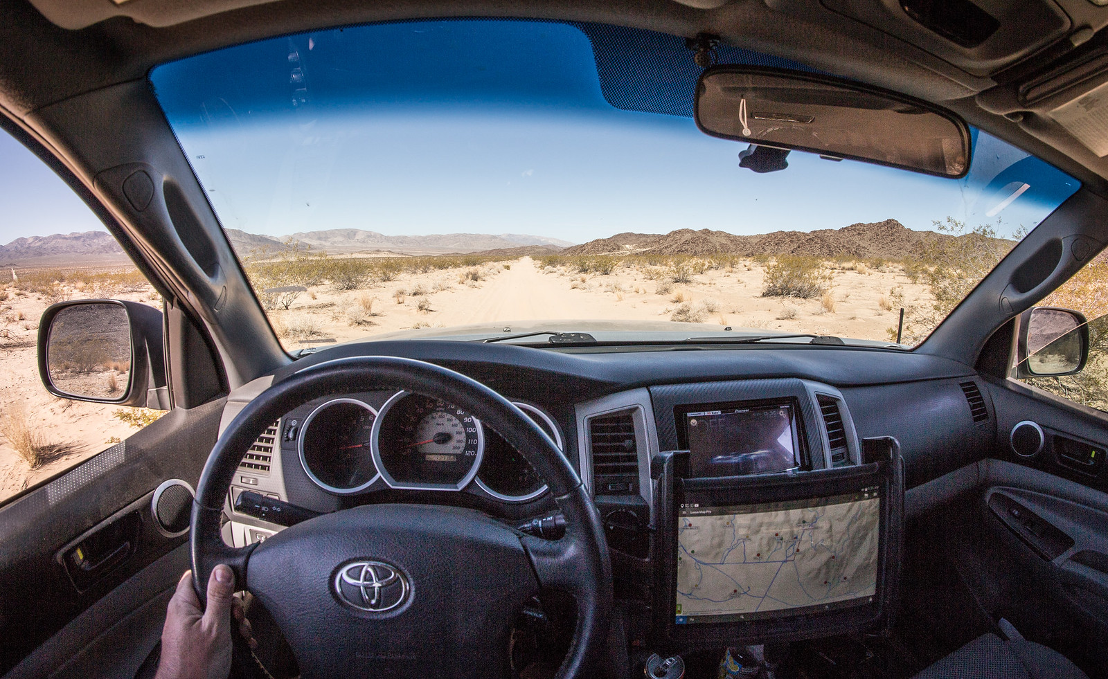
What would you want in the perfect mapping app?

Airmapper

Inactive Member
Here we go everyone....the iPad/iPhone app from Hema Maps for North America is out (Android coming VERY soon):

I thought $20 was pricey for an app, but given HEMA's reputation I figured it was worth it.

So far with some brief exploring of it's features and interface, I'm left feeling....underwhelmed?

I'll continue to explore the features and see if there is functionality that I have yet to fully appreciate yet, but so far I'm not particularly impressed.
 

shane4x4

Supporting Sponsor
I thought $20 was pricey for an app, but given HEMA's reputation I figured it was worth it.

So far with some brief exploring of it's features and interface, I'm left feeling....underwhelmed?

I'll continue to explore the features and see if there is functionality that I have yet to fully appreciate yet, but so far I'm not particularly impressed.

I'm the first to admit that the initial launch of the app doesn't necessarily include anything more than other options out there. Keep in mind that this is a 1.0 release, and the ecosystem will continue to evolve.

What I really love is that I can plan, record/track, document, and organize my adventures all inside the app - then share that trip with others, who can then use my trip as a guide for their own adventures. Again, that's not unique, but this IS the only system that's focused on vehicle based exploration. =)
 

Airmapper

Inactive Member
I'm the first to admit that the initial launch of the app doesn't necessarily include anything more than other options out there. Keep in mind that this is a 1.0 release, and the ecosystem will continue to evolve.

I understand, and I was hoping that was the case, unless they want to charge me again later for the features it should have to begin with, then I'll be very annoyed.

I don't know how involved you are in that, you seem to be promoting it but I don't know your involvement. Your absolutely correct, it doesn't offer anything at this point not offered elsewhere. But I see potential here.

What I really love is that I can plan, record/track, document, and organize my adventures all inside the app - then share that trip with others, who can then use my trip as a guide for their own adventures. Again, that's not unique, but this IS the only system that's focused on vehicle based exploration. =)

That would be great, but it's only partially working for me.

I barely seem to have access the cloud functions. I can't even view a basemap of North America in the clouds web app, Australia comes up, and Australia is awesome, but I can't drive there from here so it does me little good. I understand being so new there won't be much if any content for the USA, but I can't even seem to test it. I would think at least the base infrastructure would be in place. I run a waypoint through the cloud end and I can't even see it on the preview map. I don't see any provision for finding nearby publicly shared content within the app. I'm assuming this is in the works?

What about my existing data, can that be pulled in anywhere? I have lots of data that could be utilized, I don't see any way to import it to the cloud or in the app. EDIT: Think I found this feature within online app (on PC)

Oh, and I see absolutely no POI data for North America at this point.
 
Last edited:

1Louder

Explorer
Seems very similar to what GAIA already offers. Competition is good. No way I would pay $20 for this version of the app. Yes, GAIA is the same price point. They should offer a lite or free version with limited access to give people the opportunity to try it and gain market share. I look forward to seeing some YouTube reviews.
 

1MK

ExploreDesert
Extremely happy with my Samsung Note 10.1 Tablet and Locus Map Pro.

I use Google MyMaps to mark all waypoints and draw routes. Export to KML and import into Locus. Done.

Locus imports correct route line colors and waypoint symbols to match up with what you made in MyMaps.

Backcountry Navigator is what I used to use but lack of options, customization and poor import control limited it's usefulness.

https://flic.kr/p/FDsc6qhttps://www.flickr.com/photos/125556024@N05/

https://play.google.com/store/apps/details?id=menion.android.locus.pro&hl=en
 

shane4x4

Supporting Sponsor
I understand, and I was hoping that was the case, unless they want to charge me again later for the features it should have to begin with, then I'll be very annoyed.

I don't know how involved you are in that, you seem to be promoting it but I don't know your involvement. Your absolutely correct, it doesn't offer anything at this point not offered elsewhere. But I see potential here.


That would be great, but it's only partially working for me.

I barely seem to have access the cloud functions. I can't even view a basemap of North America in the clouds web app, Australia comes up, and Australia is awesome, but I can't drive there from here so it does me little good. I understand being so new there won't be much if any content for the USA, but I can't even seem to test it. I would think at least the base infrastructure would be in place. I run a waypoint through the cloud end and I can't even see it on the preview map. I don't see any provision for finding nearby publicly shared content within the app. I'm assuming this is in the works?

What about my existing data, can that be pulled in anywhere? I have lots of data that could be utilized, I don't see any way to import it to the cloud or in the app. EDIT: Think I found this feature within online app (on PC)

Oh, and I see absolutely no POI data for North America at this point.

To answer a few questions for you all =)
1) I'm involved as a consultant right now, and have been working with Hema Maps for a little over a year in that capacity. My hope is that my role in North America as a Hema guy will grow.
2) The cloud is a major issue right now. Details are long & complicated, but suffice it to say right now they're working on major issues with the cloud (Australia data only, buggy interface, etc). They have been pushing the limits to get the App ready for Overland Expo, so the cloud isn't as ready as anyone would like.
3) With all that being said, we're in the process of creating quick start guides (mostly videos) to help people get up & running with both the app & the cloud
4) POI's is a HUGE feature that I really wish made it into the initial release, alas there wasn't time ;( USEFUL POI's (unlike the plethora of junk that's in the Gaia system), is one of my top goals this summer.
5) You're right about your existing data: You can import GPX/KML into the cloud, then organize tracks, waypoints, & photos from past trips into 'folders' in the cloud, so you can keep everything together for a specific adventure.

Above all....thank you for your feedback, and for validating my insistence that the cloud needs a major overhaul. It's functional as is, but barely.

I'm REALLY hoping that public trips in the US will show on the cloud within the next week..fingers crossed.

For now, here are a few the team has been working on:
Arizona Traverse: https://cloud.hemamaps.com/public/3...,usgstopo&alpha=herenormal.day:0.6,usgstopo:1
Imogene Pass: https://cloud.hemamaps.com/public/P...,usgstopo&alpha=herenormal.day:0.6,usgstopo:1
Mojave Rd: https://cloud.hemamaps.com/public/d...,usgstopo&alpha=herenormal.day:0.6,usgstopo:1

The USA Map Patrol profile:
http://hema.li/mpusacloud
 

1Louder

Explorer

It looks like an older version at that. Good for GAIA for not fearing competition even if the licensing may be temporary. The urge to push a not quite ready product just for Expo probalby should have been resisted. Always good to have alternatives. For now I will stick with GAIA. I have been using it for years. If Hema can improve things great.
 

Airmapper

Inactive Member
Thanks for the info Shane. You have a very cool job, I'm envious.

North America, well actually the World basemap info is now displaying on PC. I had to google the address to get into the cloud system initially which led me in via the AUS server, the links in your post got me in via the correct path apparently. It's not doing so from the app however at this time.

When I get a chance later, I'll load some more detailed data into it and make it public, I think I have about a 100 mile trip with waypoints and photos that will give it something to work with.

Initially I'm picking on the "I don't likes" and there are several, but here are some things I'm finding I do like.

I haven't tried to auto-route, but I probably will this evening. I do like I can have that in the same app as my off road topo display. If that works smoothly I may be able to move away from my current dual device setup.

What few routing tasks I've given it have not yielded incredibly stupid results. I plugged in my commute and it gave me options that I take based on speed or distance and both made sense. Time will tell if that holds. I haven't figured out how to make more detailed routes with shaping points and such yet, but I think I see the capability.

I like having an ability to make routes inside the app, a lot of times when I get detoured it completely screws my navigation and I have to keep my head in the map until I'm back on the planned course. This way I can set up my detour and not need to second guess it from that point forward.
 

shane4x4

Supporting Sponsor
It looks like an older version at that. Good for GAIA for not fearing competition even if the licensing may be temporary. The urge to push a not quite ready product just for Expo probalby should have been resisted. Always good to have alternatives. For now I will stick with GAIA. I have been using it for years. If Hema can improve things great.

Your points are well taken. The intention was to have the cloud a little more dialed in, and plans for the team from Australia had to be made months ago...just the nature of the business. This is a long play for Hema so it definitely won't work for everyone straight away. This group is a little more on the technical side too, so it's really great to have your input!
 

shane4x4

Supporting Sponsor
Thanks for the info Shane. You have a very cool job, I'm envious.

North America, well actually the World basemap info is now displaying on PC. I had to google the address to get into the cloud system initially which led me in via the AUS server, the links in your post got me in via the correct path apparently. It's not doing so from the app however at this time.

When I get a chance later, I'll load some more detailed data into it and make it public, I think I have about a 100 mile trip with waypoints and photos that will give it something to work with.

Initially I'm picking on the "I don't likes" and there are several, but here are some things I'm finding I do like.

I haven't tried to auto-route, but I probably will this evening. I do like I can have that in the same app as my off road topo display. If that works smoothly I may be able to move away from my current dual device setup.

What few routing tasks I've given it have not yielded incredibly stupid results. I plugged in my commute and it gave me options that I take based on speed or distance and both made sense. Time will tell if that holds. I haven't figured out how to make more detailed routes with shaping points and such yet, but I think I see the capability.

I like having an ability to make routes inside the app, a lot of times when I get detoured it completely screws my navigation and I have to keep my head in the map until I'm back on the planned course. This way I can set up my detour and not need to second guess it from that point forward.

I would put you (and most others on this thread) in the 'power user' group :)

It's great to have great explorers putting thought into this system, that's what we're hoping for!

It will improve as we move forward, and we hope will soon be the default app for vehicle based explorers.
 

1Louder

Explorer
Your points are well taken. The intention was to have the cloud a little more dialed in, and plans for the team from Australia had to be made months ago...just the nature of the business. This is a long play for Hema so it definitely won't work for everyone straight away. This group is a little more on the technical side too, so it's really great to have your input!

Get me a promo code and I will be happy to bash on the app and provide additional feedback. :)

Based on screenshots the main difference I see is the routing functionality. That's not something I have felt compelled to use with existing GPX files but it might be interesting.
 

Dozer Dan

Observer
Any plans to include Europe any time soon?

I'm an iOS developer by profession. My current work is mostly around GPS and tracking.
After having tried the available off road apps for iOS available in Europe I've come to the conclusion that I can make something much better myself.
But as a seasoned developer I'm lazy! (One of the true virtues).
So if you're planning on releasing Hema for Europe soon I wouldn't really want to waste my time.

It's great to see apps being focused on planning a trip and having the maps available offline.
 

Forum statistics

Threads
185,812
Messages
2,878,459
Members
225,352
Latest member
ritabooke
Top