Three Forks
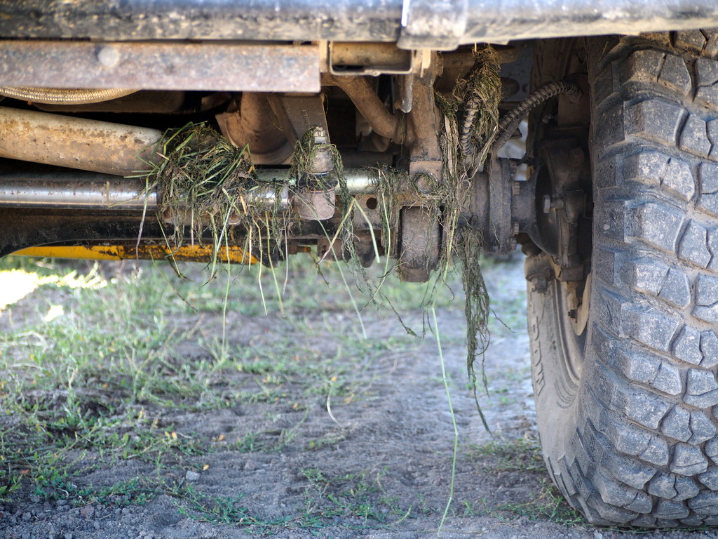
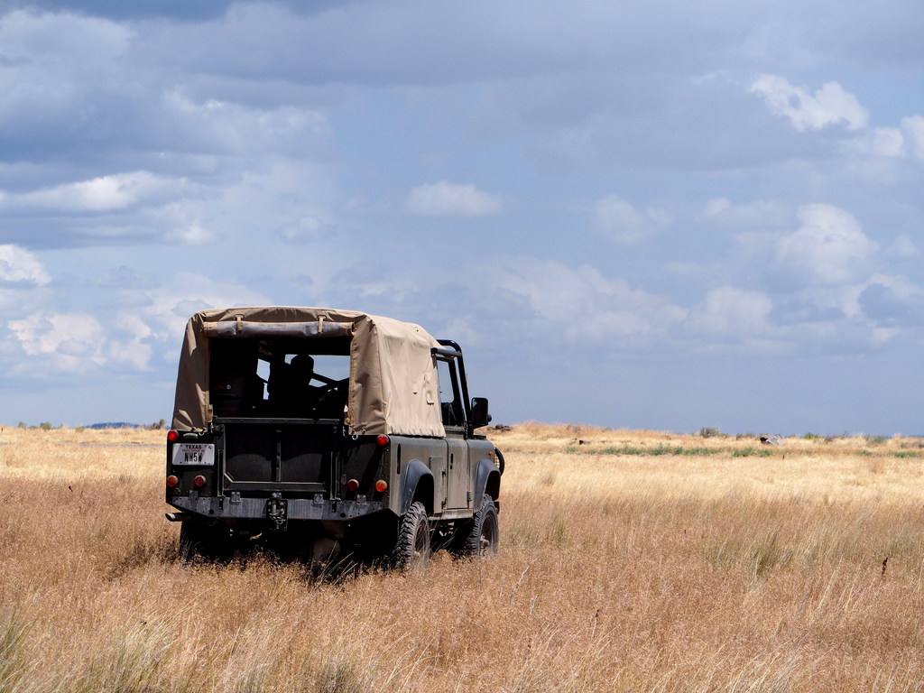
After a great night of stories and whiskey, I looked up at the clearing skies and the Milky Way above before returning to the back of my truck and falling asleep with the breeze blowing through the open door tops of my Defender's front seat. I knew that it would not rain again and I fell into a deep sleep on my Thermarest. I woke up early to the bright sun coming through my windscreen and set about cooking the usual oatmeal breakfast. Peter is up early, too, so we inspect the carnage from the previous afternoon's mud slog:
We look at the map and plan a route: we'll cross a low mountain range before turning west into Oregon for our final rendezvous with the canyons of the Owyhee. We'll eat lunch on the river before heading upland to the Owyhee Mountains and Silver City, Idaho where we will camp for the night.
We're making good time as we grind up the dirt roads of the aptly named Juniper Mountain. I put on one of my all-time favorite road sets: the Grateful Dead's May 14th, 1974 show at the Adams Field House of the University of Montana.
"Jack Straw" may be the best road song ever.
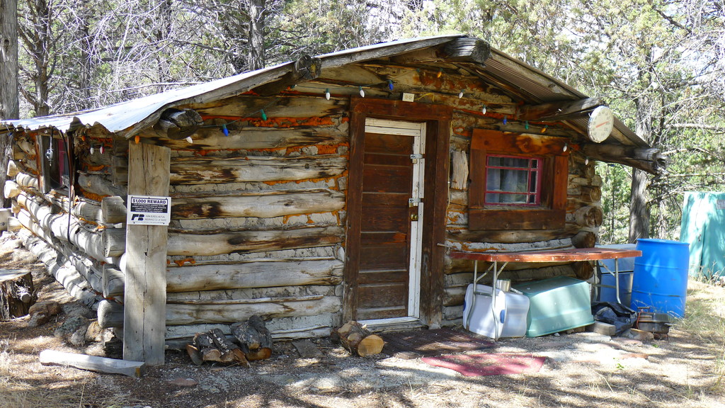
Juniper Mountain is a mishmash of private and public lands. We passed a long-standing but recently used cabin and wondered how one might come to own such a plot, surrounded by federal lands. A family legacy perhaps?
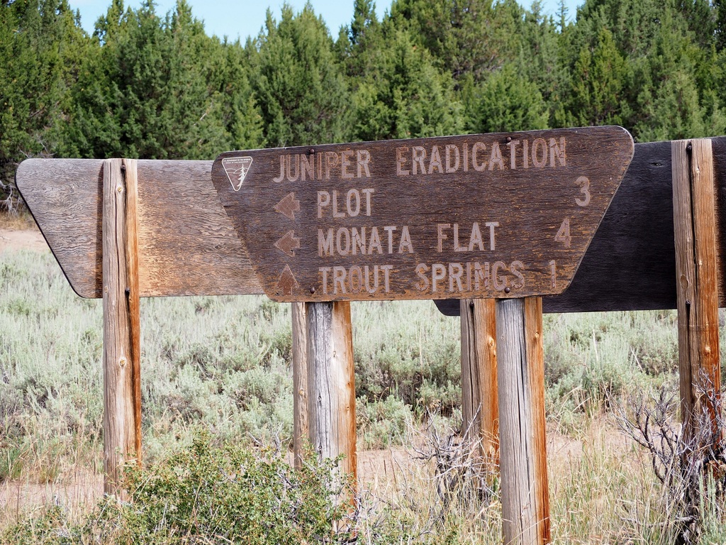
Near the summit, we pass a large tower hosting microwave links, cellular antennas, and a ham radio repeater. I was surprised and pleased to see that the BLM is trying to eradicate the juniper tree on the mountain. Juniper is somewhat of an invasive species in this area and will choke out the sunlight for native plants and the wildlife that depends on those plants for food and shelter. I wished we had been able to gather some before the storm hit us the previous night; juniper makes an excellent and fragrant firewood if you can find it.
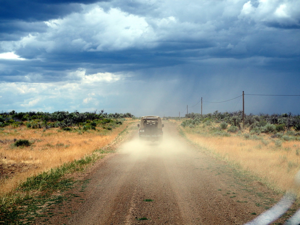
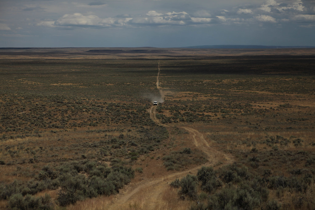
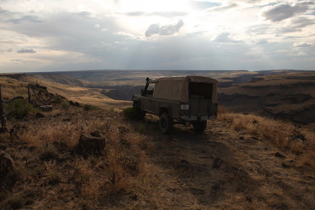
We descended fast on well-maintained gravel roads to the feeder canyons and ranchland that straddled the northwest flanks of the mountain. I had mapped out a doubletrack route that would take us directly to the Owyhee River but knew from my map recon that the road originated in the middle of a large ranching operation. I was hoping that we could gain passage but the numerous No Trespassing signs at the ranch told me otherwise. Instead, we travelled north until the land flattened and returned to sagebrush desert. A dozen or so miles north of the ranch, we turn off the improved road onto a dirt road heading west. As the afternoon heated up, the storm clouds rose once again. During monsoon season in the Great Basin, you can almost bank on getting rained on at least once a day.
Photo by Peter Matusov
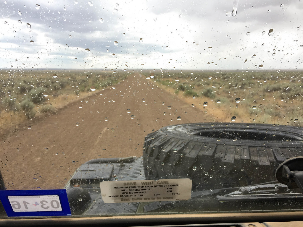
We pass a lonely ranch before peeling off towards the northwest. It's the height of the summer and we come upon a BLM map and information box that has the current Oregon state fire ban notice stapled to it. The ban is incredibly strict: other than small propane stoves, you're not allowed any sort of fire. There's a detailed list of the mandatory equipment that backcountry travelers must carry which includes at least 5 gallons of water, a full-sized shovel (they will measure!), and a large-capacity fire extinguisher. It's questionable whether my shovel qualifies but we take the chance and carry on.
Not ones to follow the well-trodden path, we're soon off in the desert grass, searching for a shortcut to the convergence of the main, North, and Middle forks of the Owyhee river.
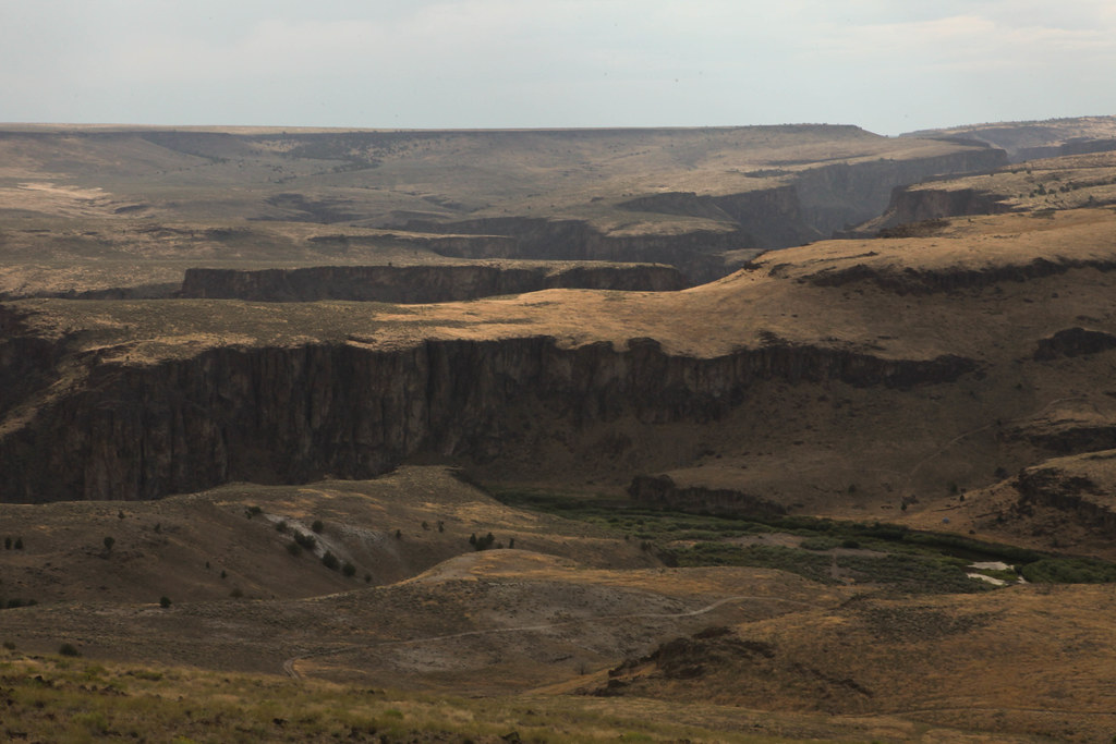
We find our shortcut and in short time, we're at Three Forks. The canyon walls are more gradual here and it's an easy descent to the river.
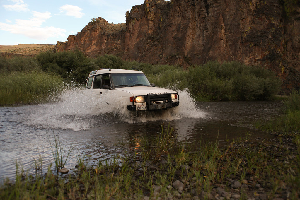
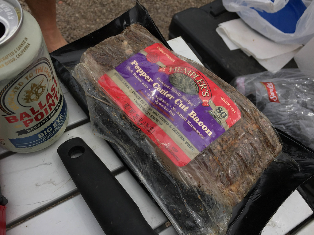
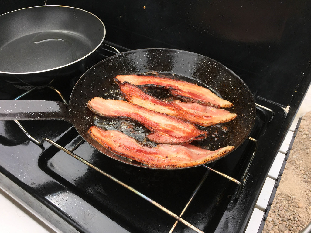
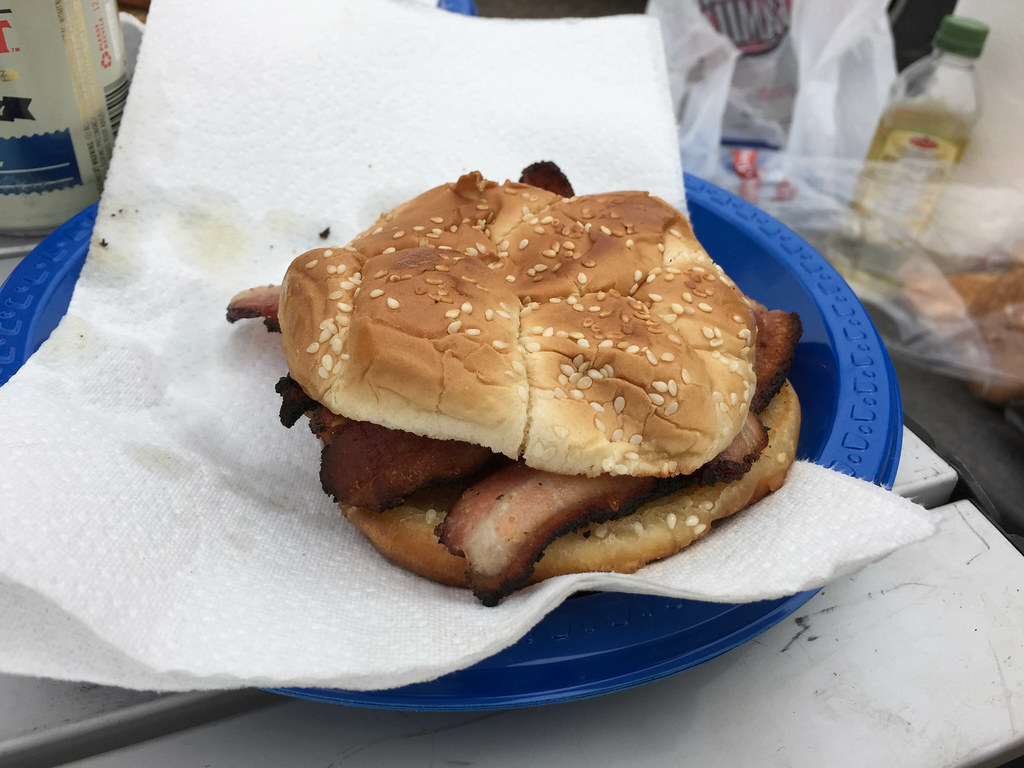
We ford the river one last time and circle the trucks on the far side to cook lunch. It's mid-afternoon and we're starving so I break out some Hempler's bacon and we make bacon sandwiches. It's hard to describe just how good and rich they were. We kill a pound and a quarter of bacon between the two of us and I end up with a belly ache from the massive fat overload.
After one last swim, we depart the Owyhee canyon for the northeast.

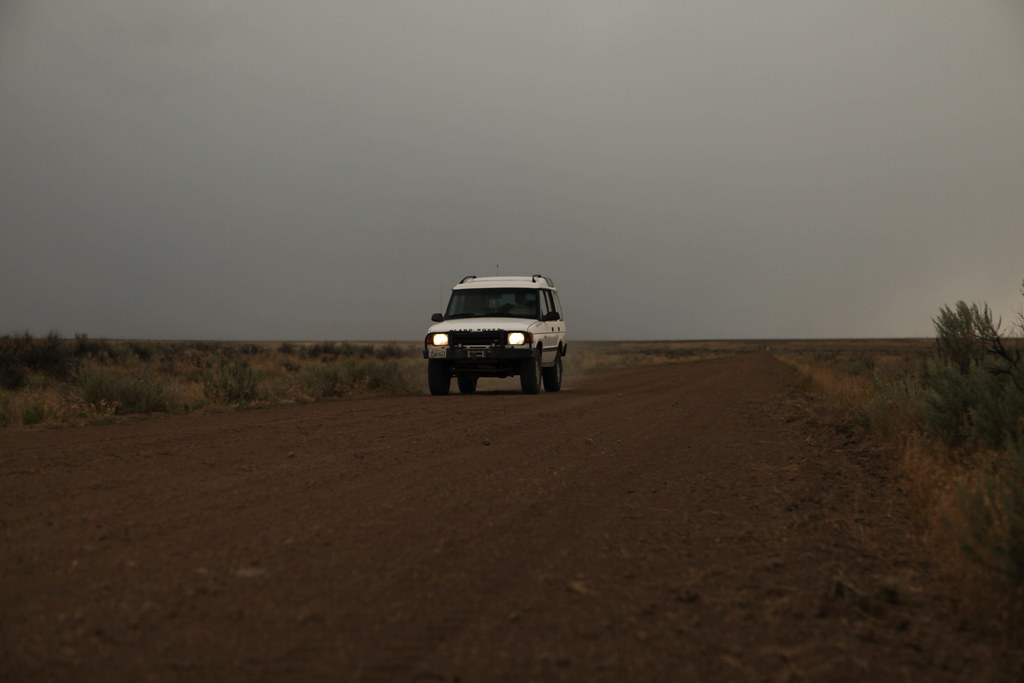
Peter is running low on fuel so we follow ranch roads to the farming town of Jordan Valley, where we let a greasy teenager fill our trucks--we're in Oregon again--and grab snacks at the convenience store before continuing northeast towards the Owyhee Mountains.
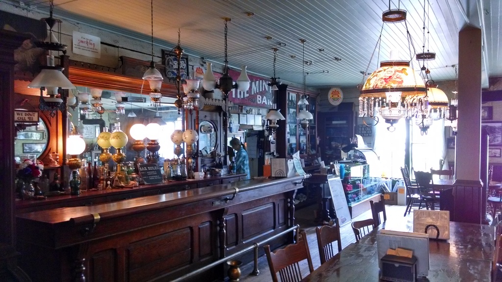
After some fast driving on twisty, improved gravel roads, we reach the once-prosperous former silver mining town of Silver City, ID. These days, Silver City is a vacation "ghost town" for Boise families to escape the scorching heat of the Treasure Valley below. The mining cabins and town stores are in various states of restoration. Some are in bad shape and others have been lovingly restored. The Idaho Hotel is the focal point of the town and we stop in for a candy bar before heading across the street for a scoop of ice cream.
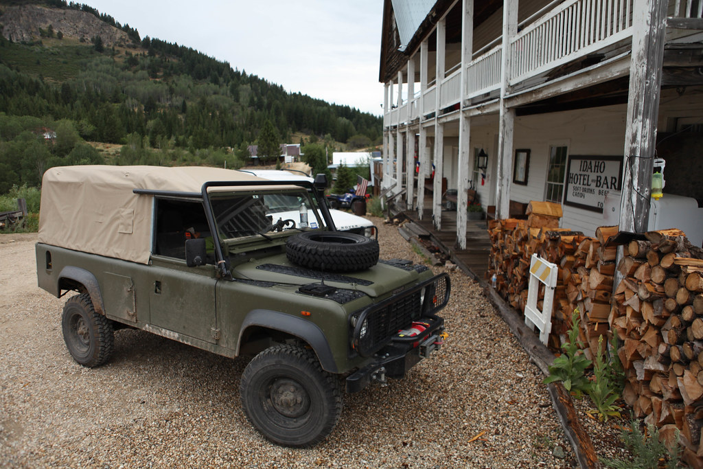 Photo by Peter Matusov
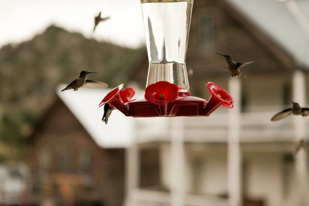
The first thing you notice about summertime Silver City is that there are hummingbirds
everywhere. Hundreds of them, fighting over the numerous but crowded feeders hanging from porches all down the main street.
The sun has set and so we make a hasty reconnaissance of campsites around town, eventually settling for one north of town on the banks of Jordan Creek. It's a quiet night--a light dinner after the bacon excesses of lunch--and only a little whiskey. We're exhausted from a very long and hot day and after building another tarp enclosure for the windowless 110, we turn in early.
Tomorrow, we head north for the Sawtooths.
")