Arizona Strip - 2016 trip report

Explorer 1

Explorer 1
I started a thread on the preparation for this trip and forgot to start this new thread for the report. So my apologies to the rule makers for not posting properly. I promise to never do it again ( until I forget and do it next time).

So here goes, I'll cut and paste the first 3 days here from the other Thread. If you want to read a little about the preparation here is the link to that Thread.


http://www.expeditionportal.com/forum/threads/154601-Arizona-Strip-2016

Thanks.


Day 1 & 2 Whittier Ca to Grand Gulch Canyon mouth


Arizona Strip 2016

Day 1 & 2

Whittier, Ca to Mesquite NV. to Grand Gulch Canyon mouth:

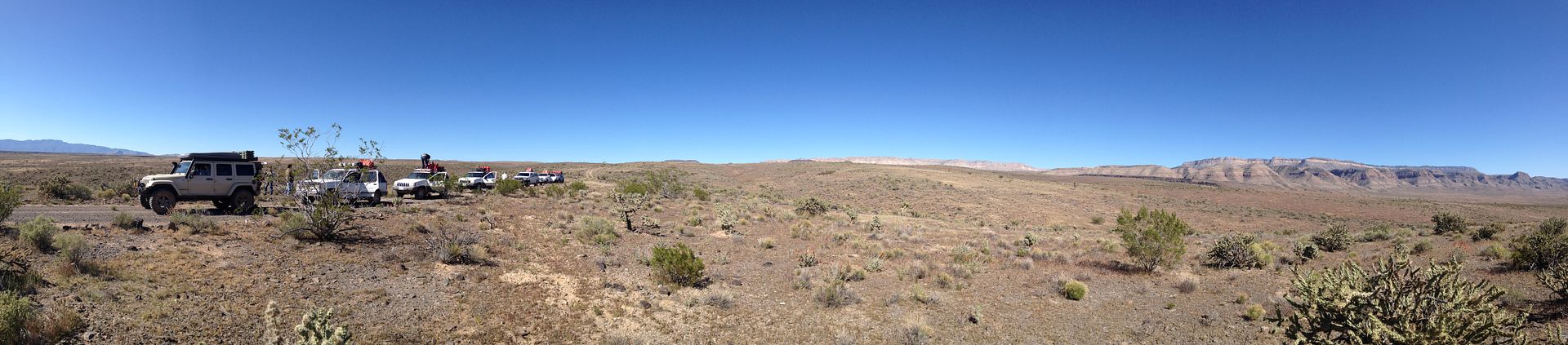
5 vehicles heavily loaded with all the gear, supplies, including food and water for 9 days left Whittier at noon Friday March 25th. Our plan on leaving Friday instead of Saturday was to get a head start for the trailhead near Mesquite NV. We rendezvous with two other vehicles in Victorville and arrived at Valley of Fire State park in the late afternoon.

untitled-2_zpsvilevtsm.jpg


Unfortunately, this is prime camping time for this park and all campsites were already taken. We ended up traveling off pavement a mile or so just outside the park and as it started getting dark we made camp. Pleasant evening around a small campfire and next morning we were all up early and on our way to Mesquite NV.

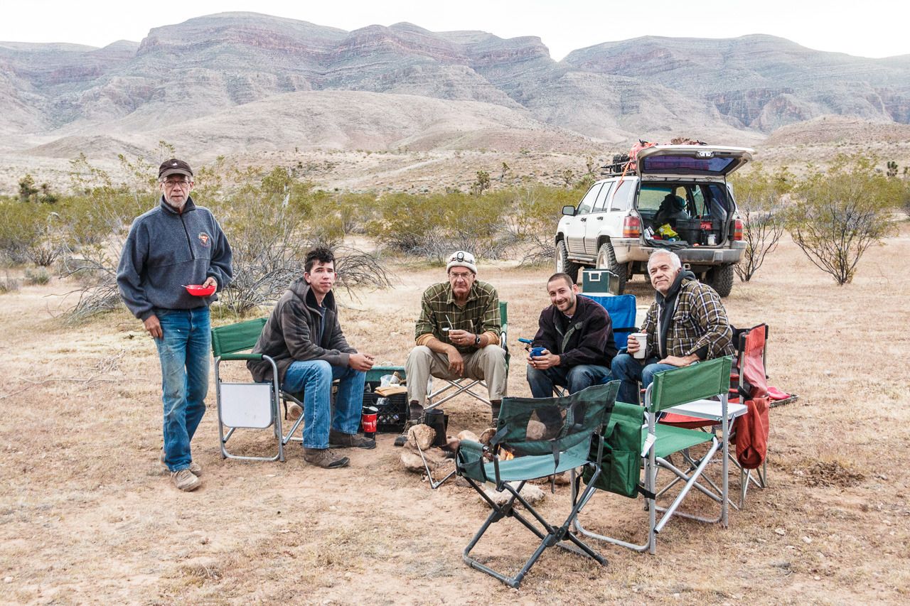
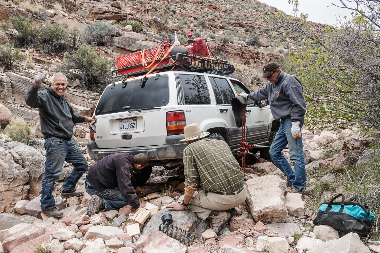
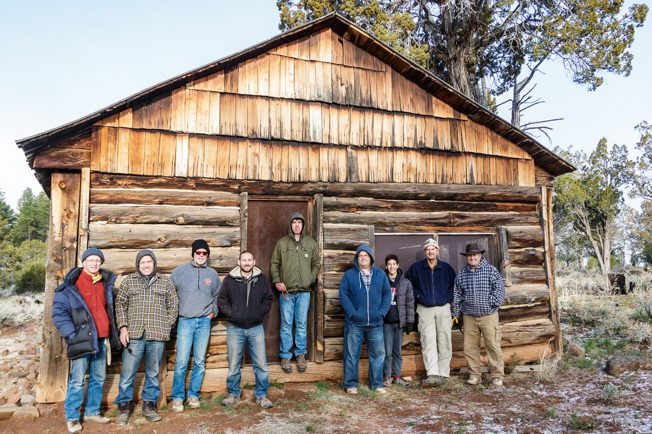
This was my third time in the remote Arizona Strip. Two of our group had traveled with me the first time, for the rest it was their first. Our “team” consisted of guys that had already demonstrated their love for the outdoors and a desire to push the “exploring” envelope a little bit further. All had some off roading experience and vehicles that could handle trail “situations” more or less. It was that “less” word that came to bite me later on the trip.

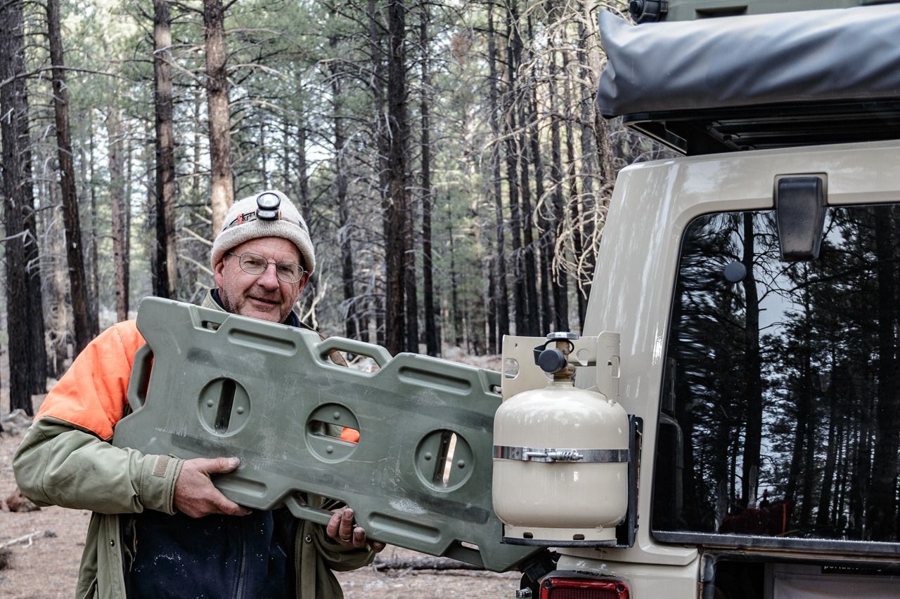
When we arrive in Mesquite the primary mission was to fill out gas tanks to the brim and then proceed to fill all the extra gas cans we had brought. I packed a little over 30 gallons of extra gas along with my main tank of 22 gallons for a total of 52 gallons. Just as I left the gas station some old fellow saw our vehicles and said I guess we were saving money on a cremation. (Nice thought to begin a trip with)

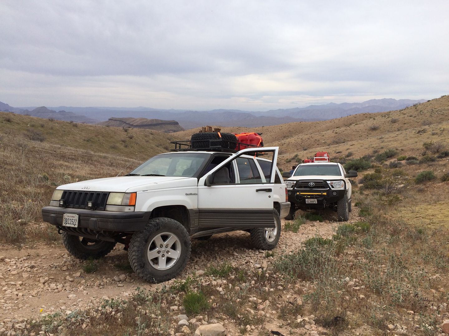
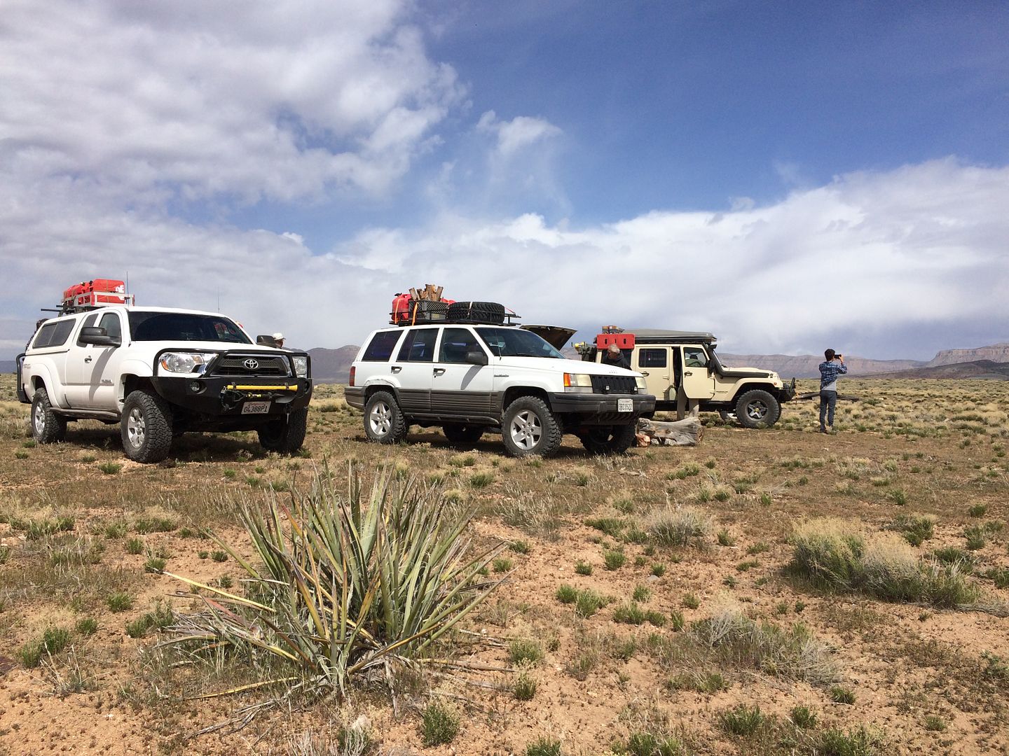
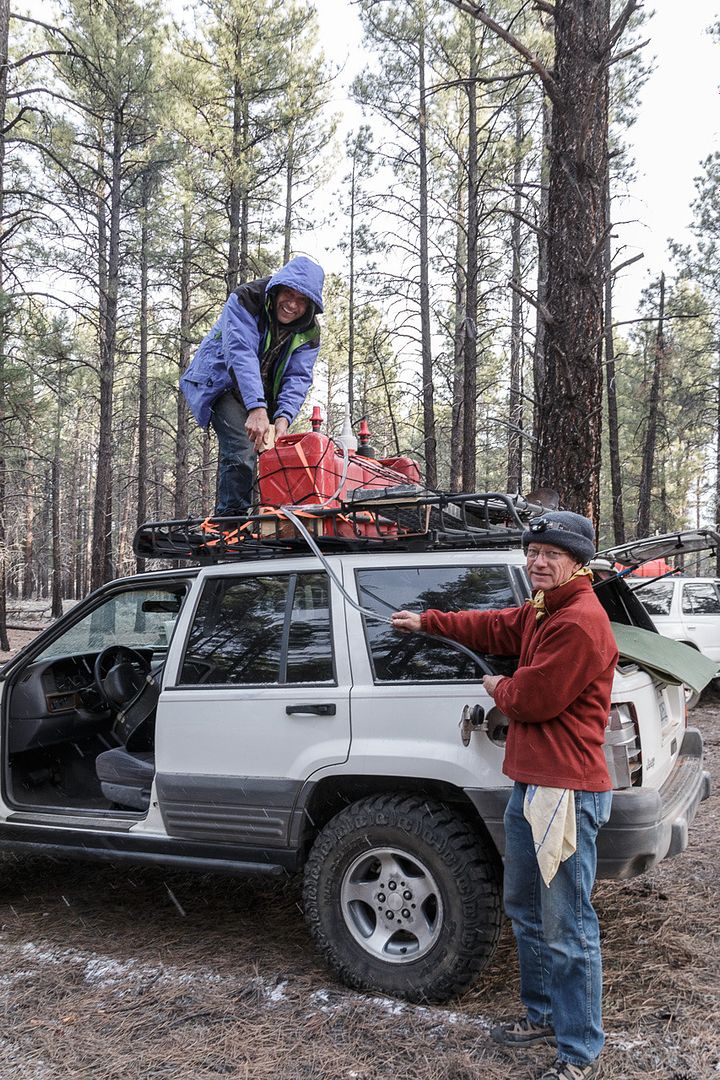
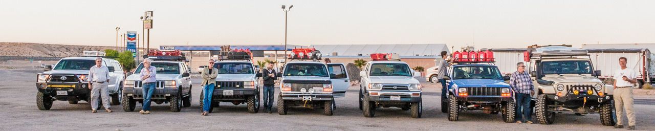
When we hit dirt there was one last stop to air down, dis-connect those sway bars and of course take some pictures of our official start.

_MG_0224_zpslbvpne1i.jpg


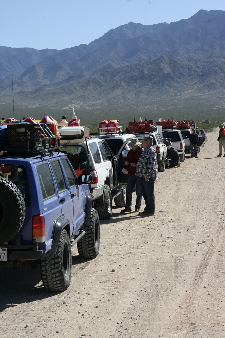
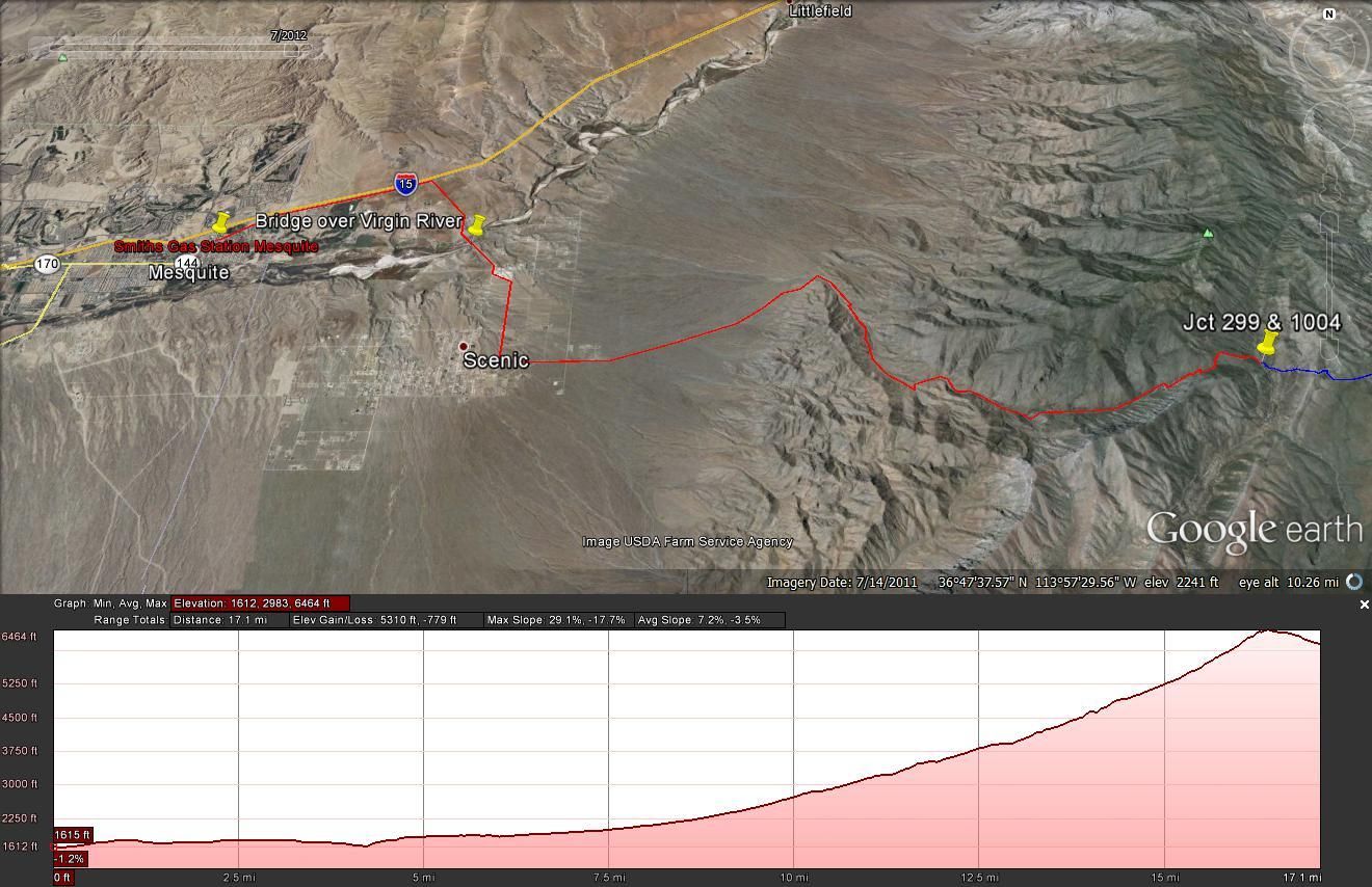
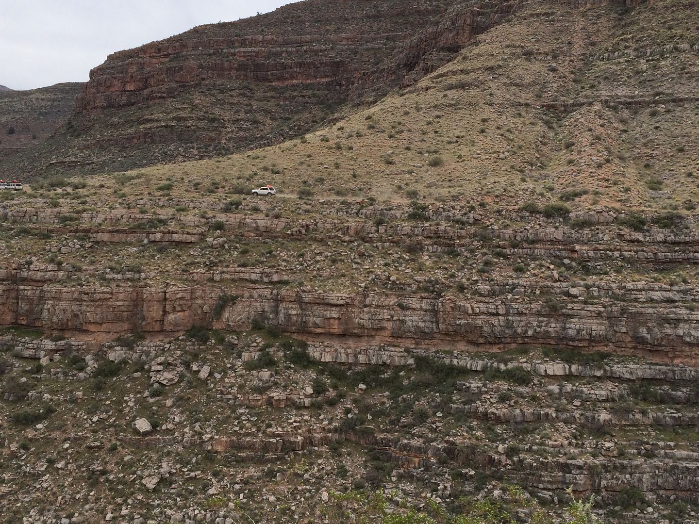
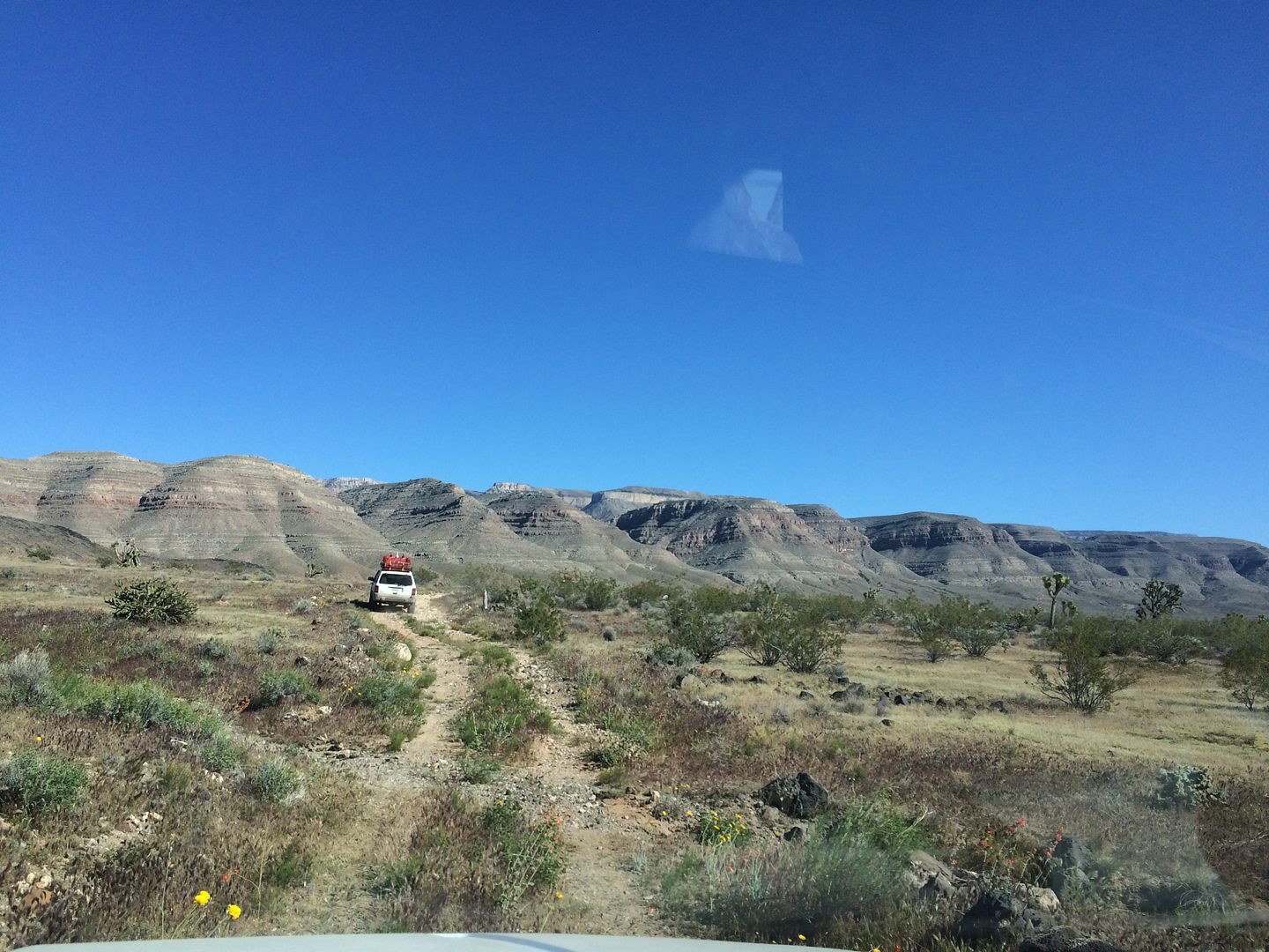
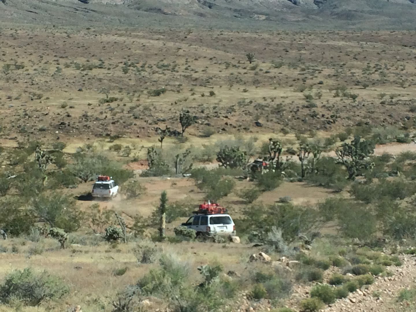
It was 10 am when we left Mesquite and the pavement for our first leg up over the Virgin Mountains using the Elbow Canyon route. Elbow Canyon can be seen in the above picture at the top of the antenna on the Blue XJ.

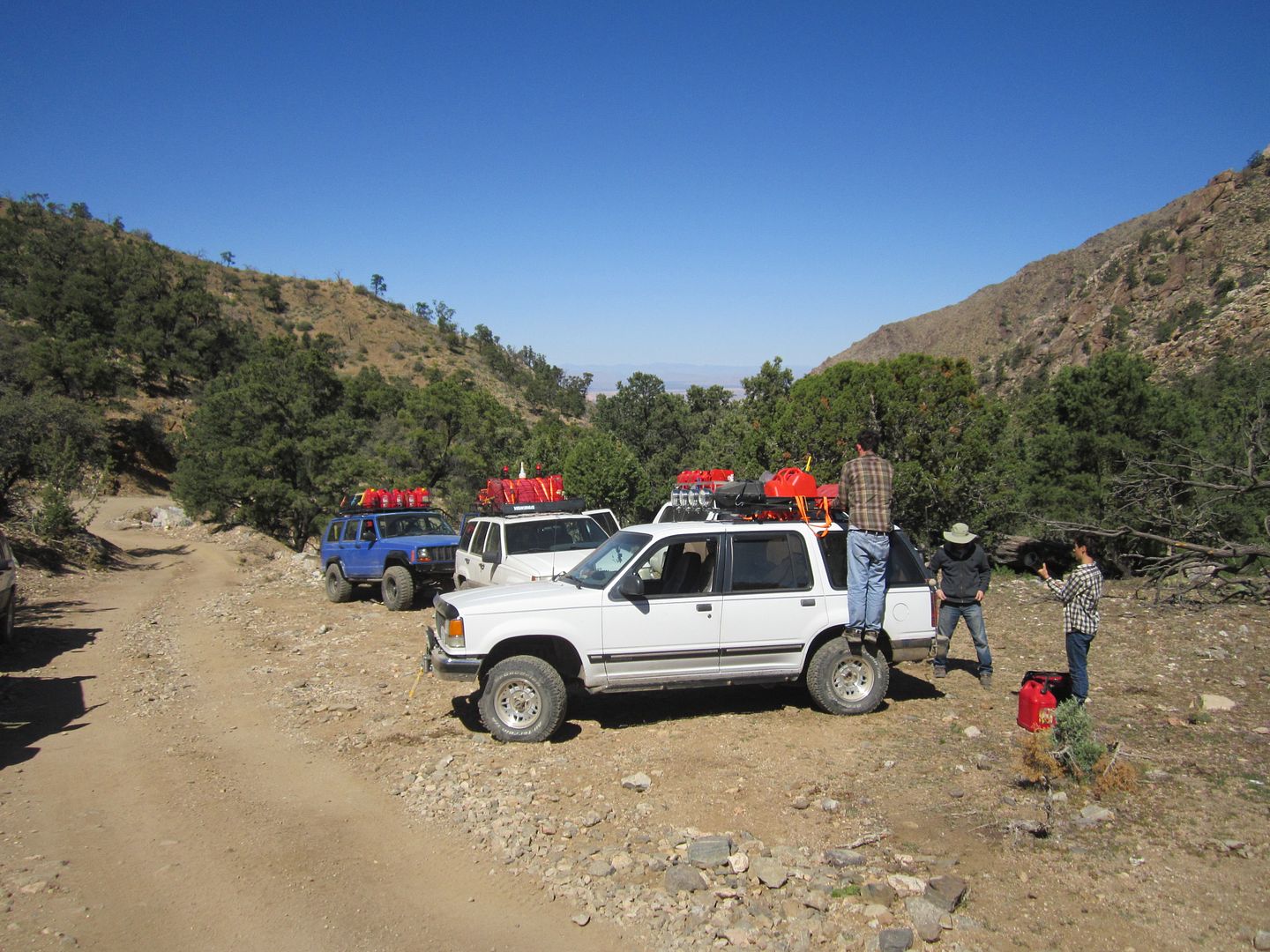
In prior trip meetings and emails I had admonished the group to experiment with their extra gas cans, filling them, testing their seals and seeing how they handle being bumped around on their roof and places they stored them. Although they all said they had, it wasn’t long on the trail before I heard over the radio that some of their cans were leaking and more than a couple of stops had to be made redistributing gas cans and even emptying one into several vehicles because it had cracked and couldn’t be used.

IMG_4281_zpsoonl4alw.jpg


IMG_4282_zpsexnt65kh.jpg


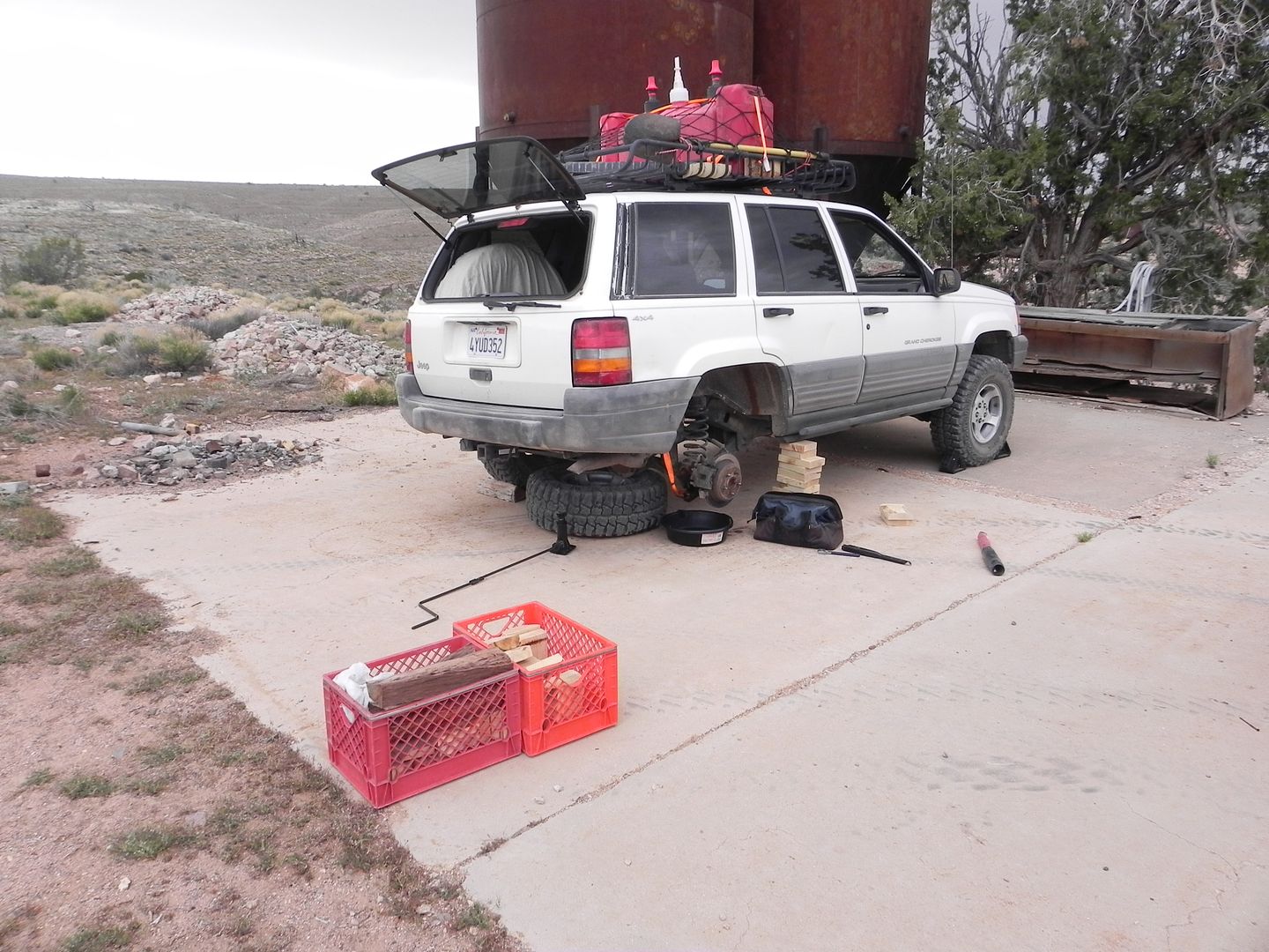
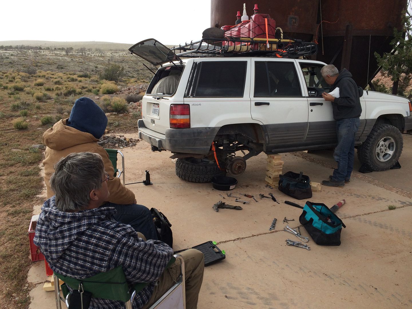
As we crested the top of the pass one of the vehicle’s engine died and a “check engine” light appeared. Fortunately, it ending up just being a sensor misreading and we were moving again in shortly.

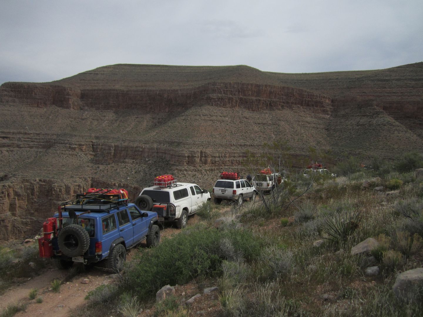
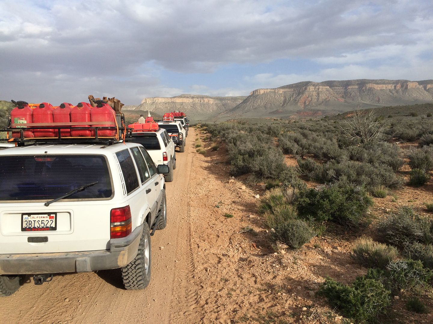
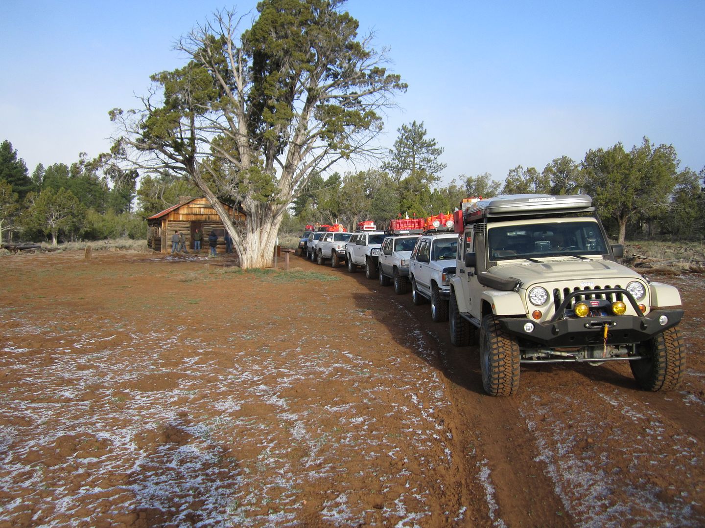
Radio etiquette and a formal way of communicating road junctions and turns is essential. At times the rear vehicle could be over a mile behind me and each vehicle needed to know where to turn without the whole group stopping. We had practiced a method at our meeting but since most of the drivers were using low watt handheld units the communication between cars was sometimes poor. After a few days we worked out the bugs and communication improved and so did our mpd (miles per day).

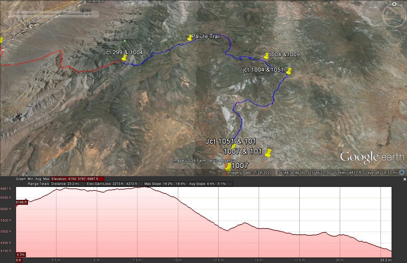
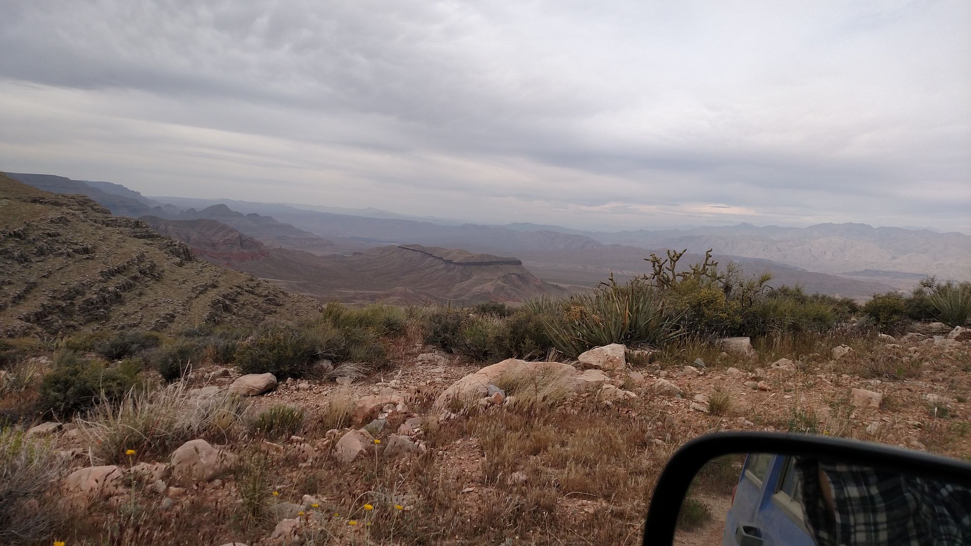
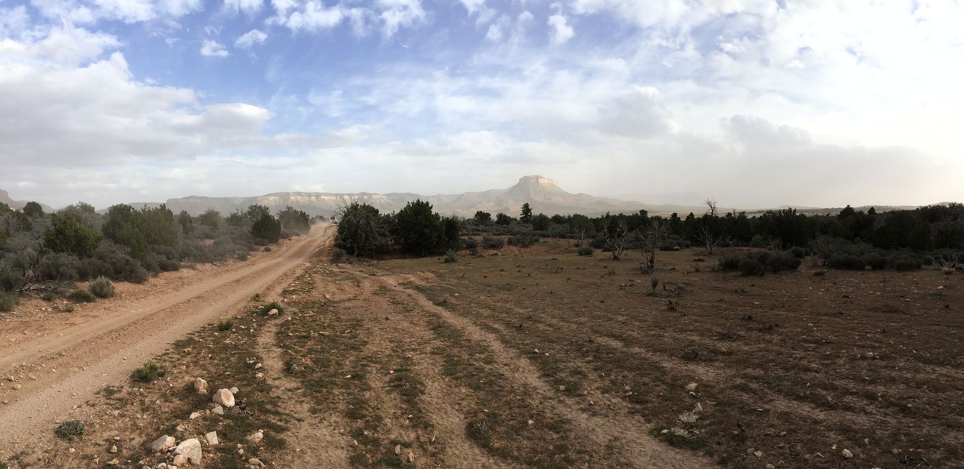
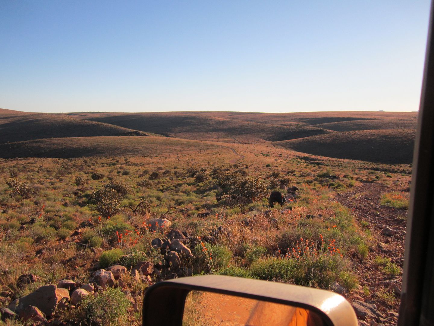
As we descended the back side of the Virgin Mountains we entered the rolling hills of the Pakoon Plateau. This area reminds me a bit of Montana, rolling grass covered hills with no trees to be seen.

IMG_4402_zpswowvtoeh.jpg


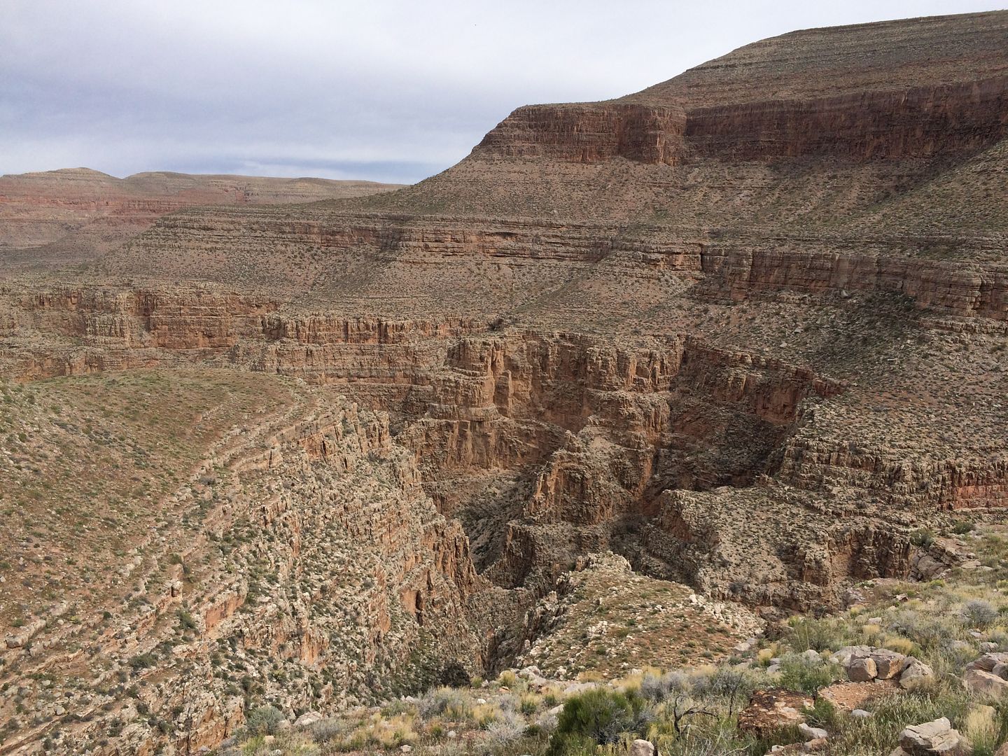
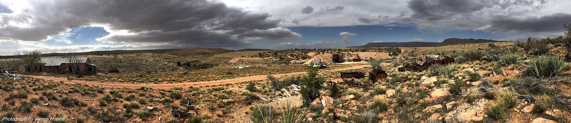
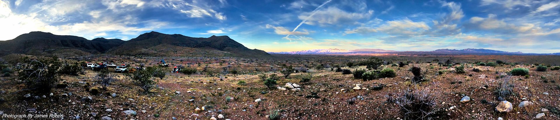
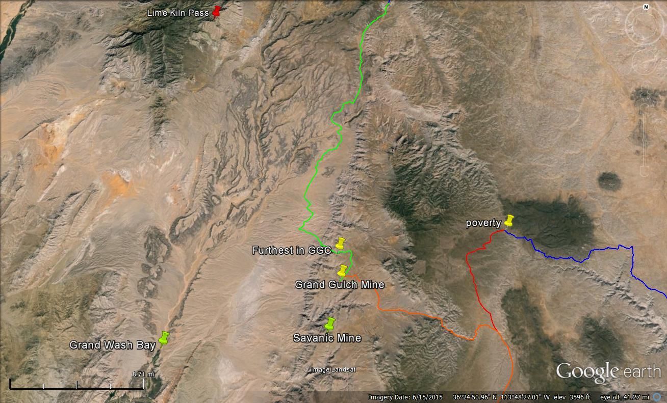
We were making our way to the Grand Gulch Canyon using the “Route less traveled” right along the western edge of the Grand Wash Wilderness.

Grand%20Wash%20Cliffs_zpsixazm32h.jpg


IMG_2503_zpsda53n4fh.jpg


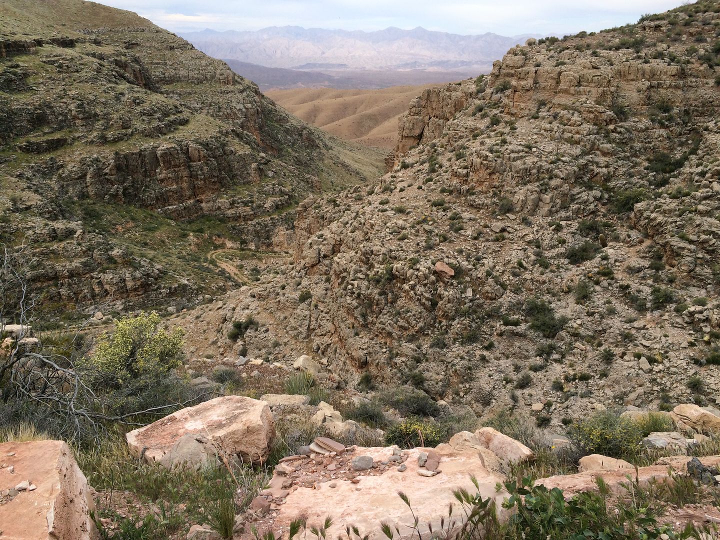
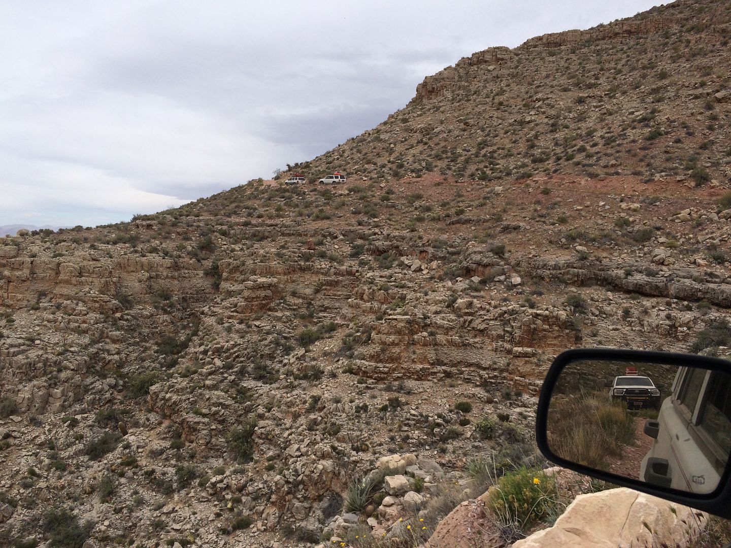
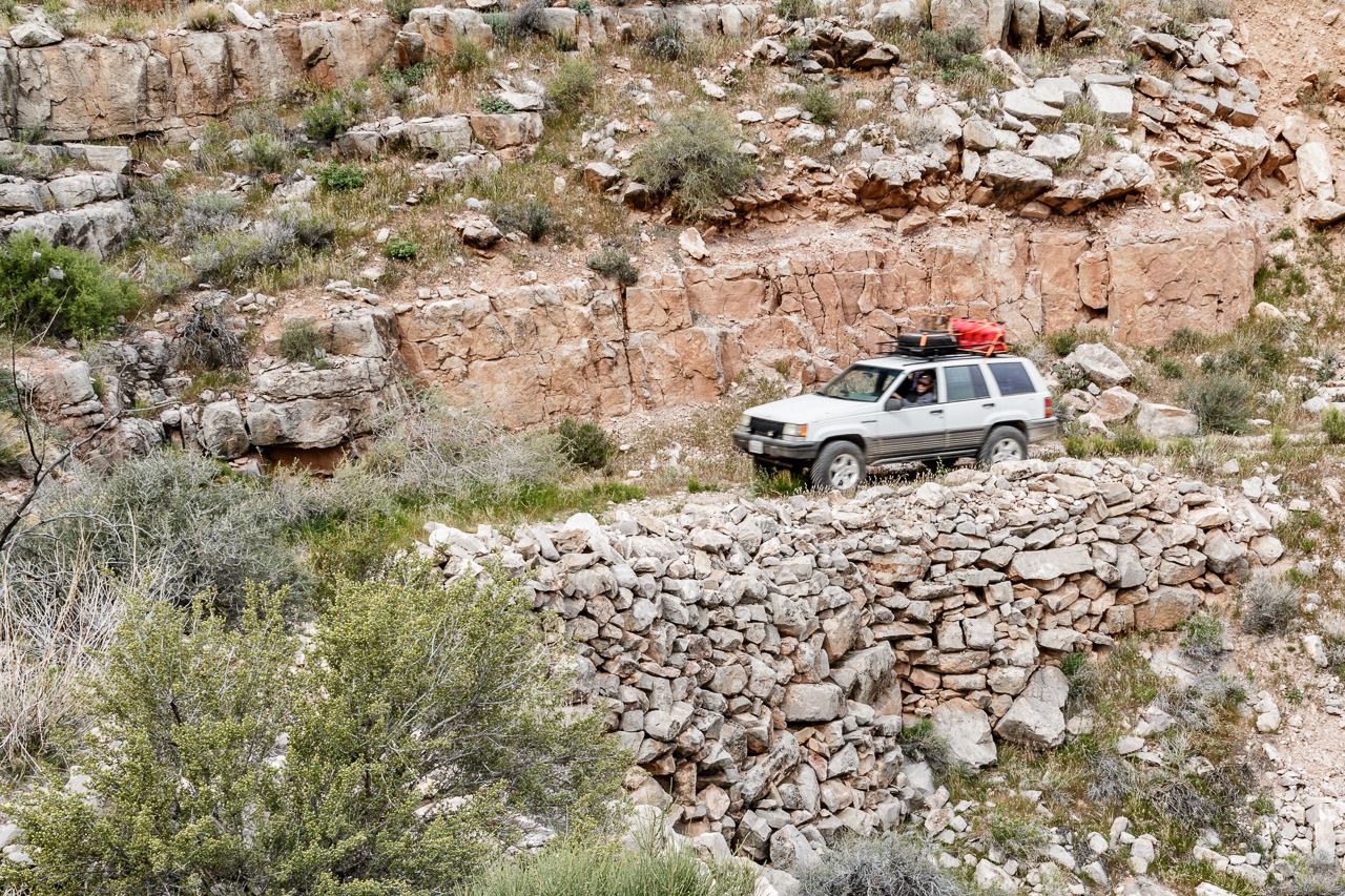
Most of the trails were two track, being closer to the Grand Wash Cliffs we would wander in and out of ravines making our way to the mouth of the Grand Gulch Canyon.


IMG_0629_zps0etegxzm.jpg


IMG_0631_zpsa1q2eg6y.jpg


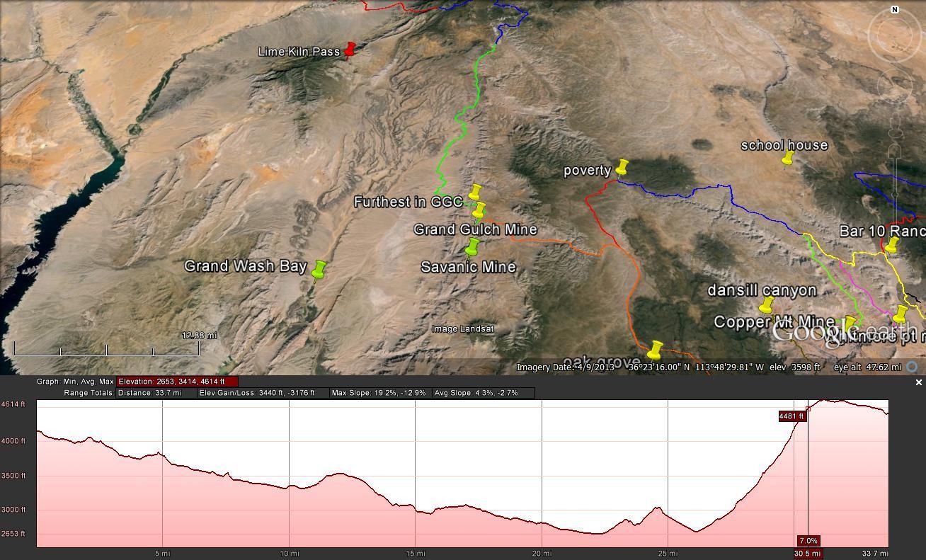
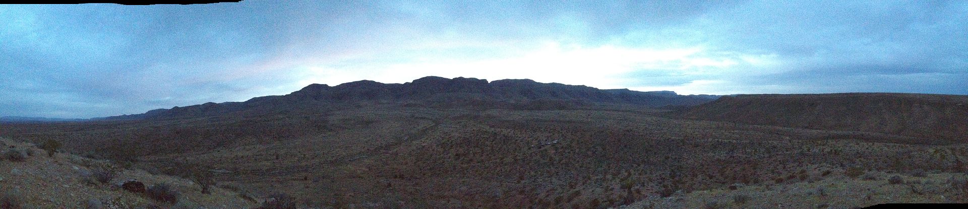
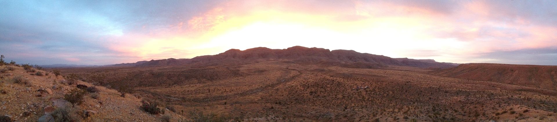
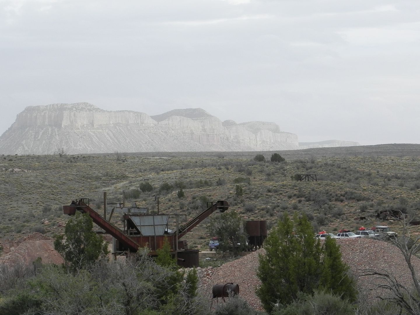
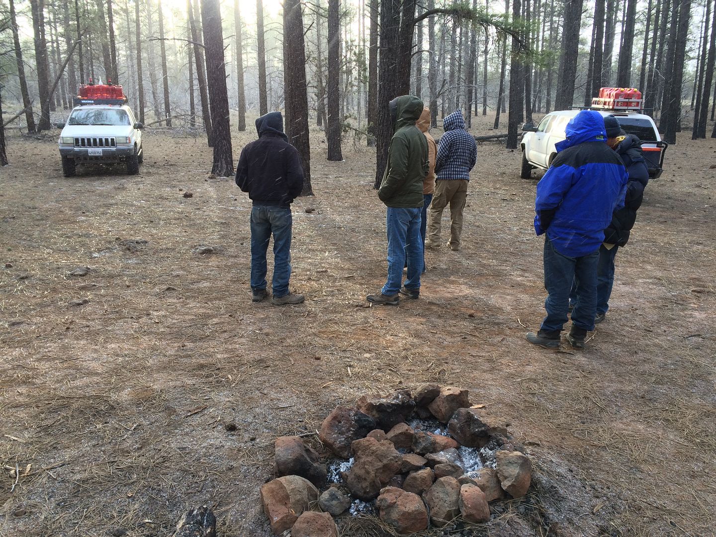
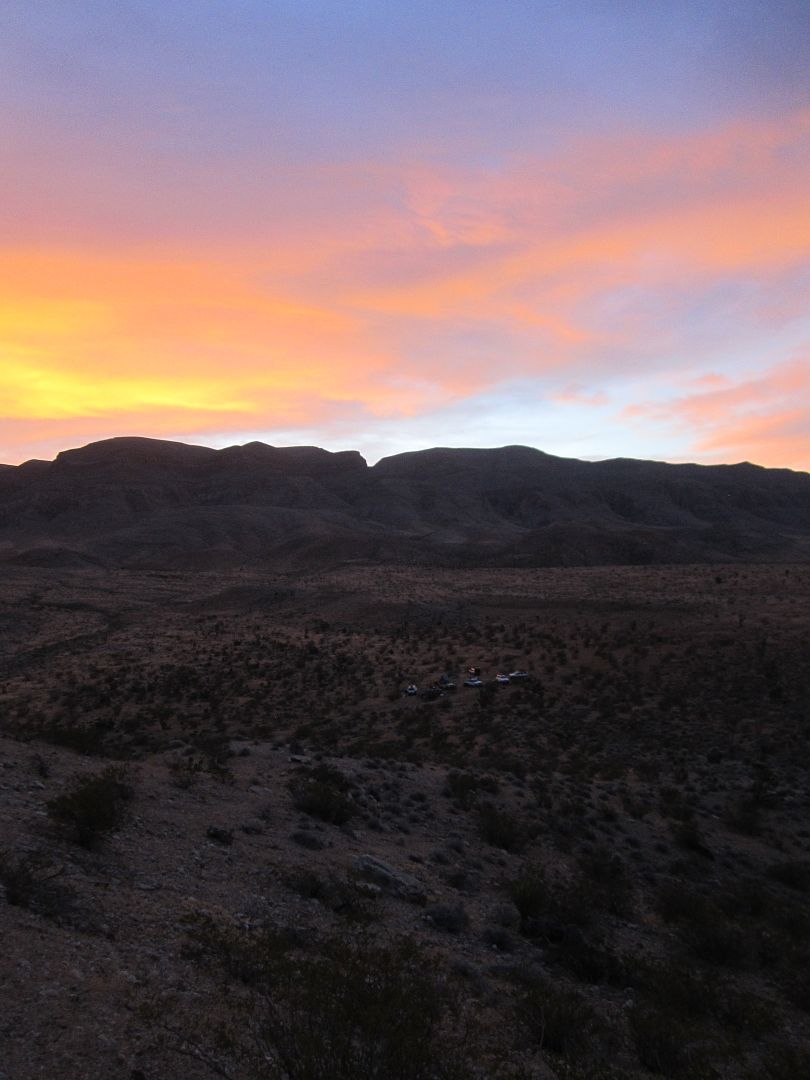
We found a fairly level area near the entrance of the canyon where road 1050 and 1638 merge.

IMG_2507_zpsxwe8uqbq.jpg


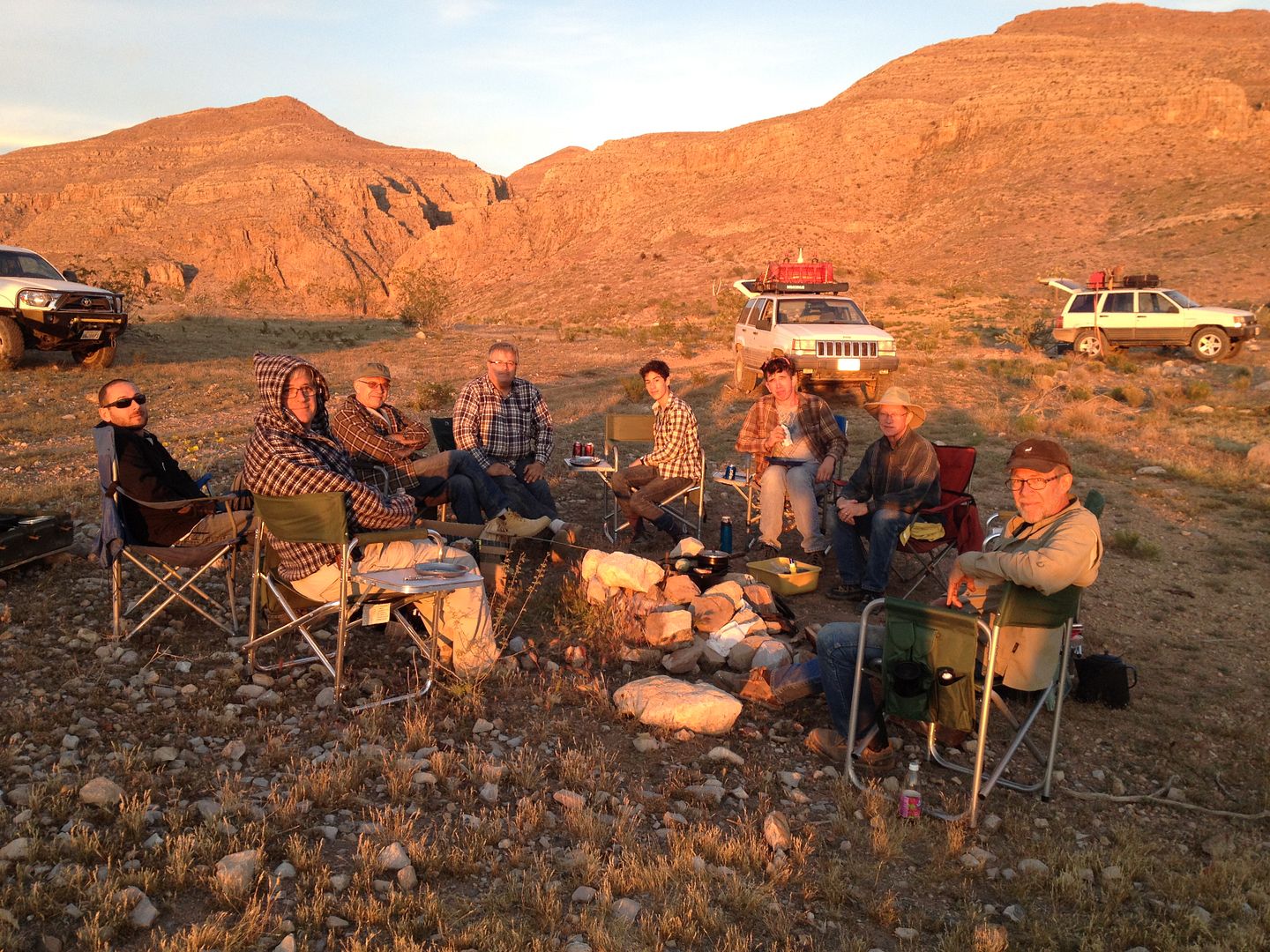
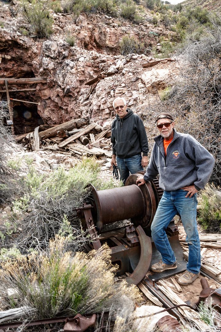
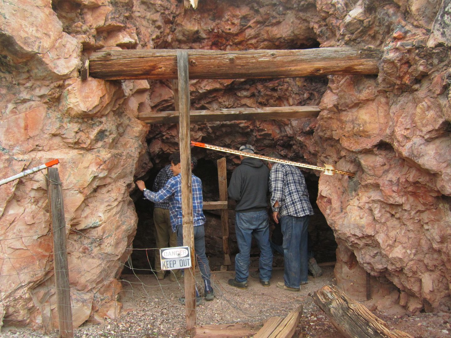
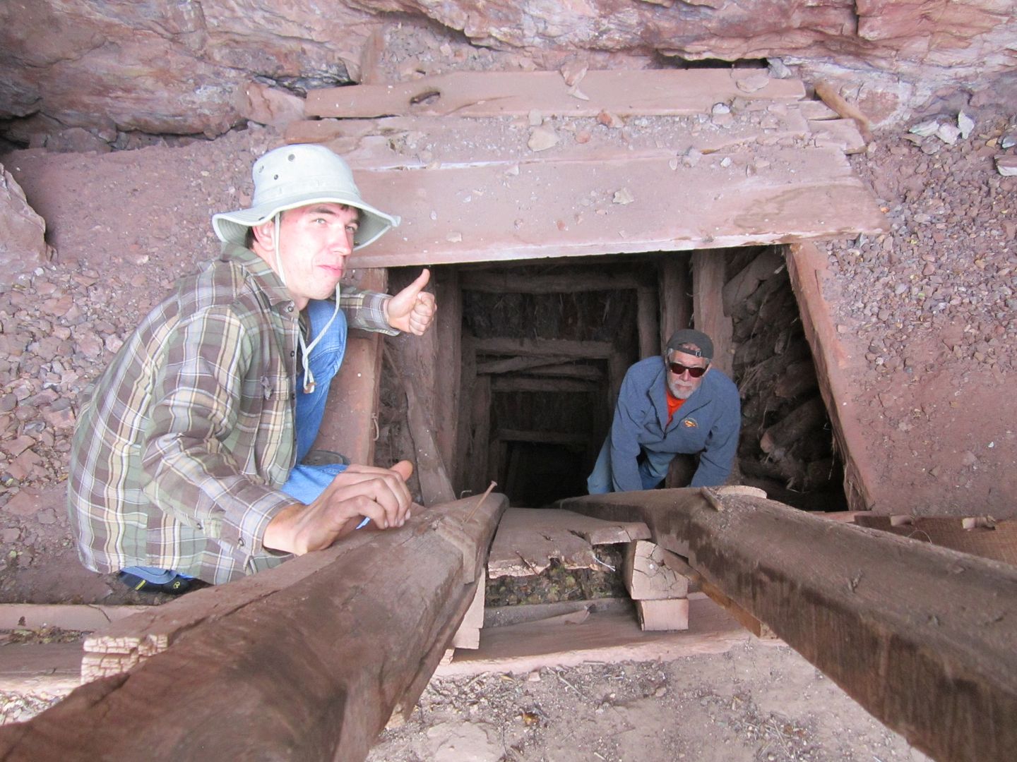
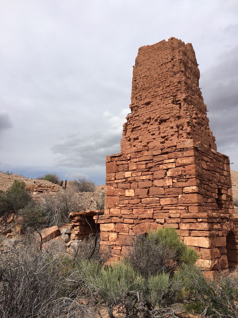
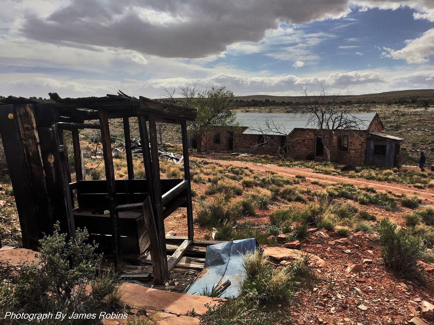
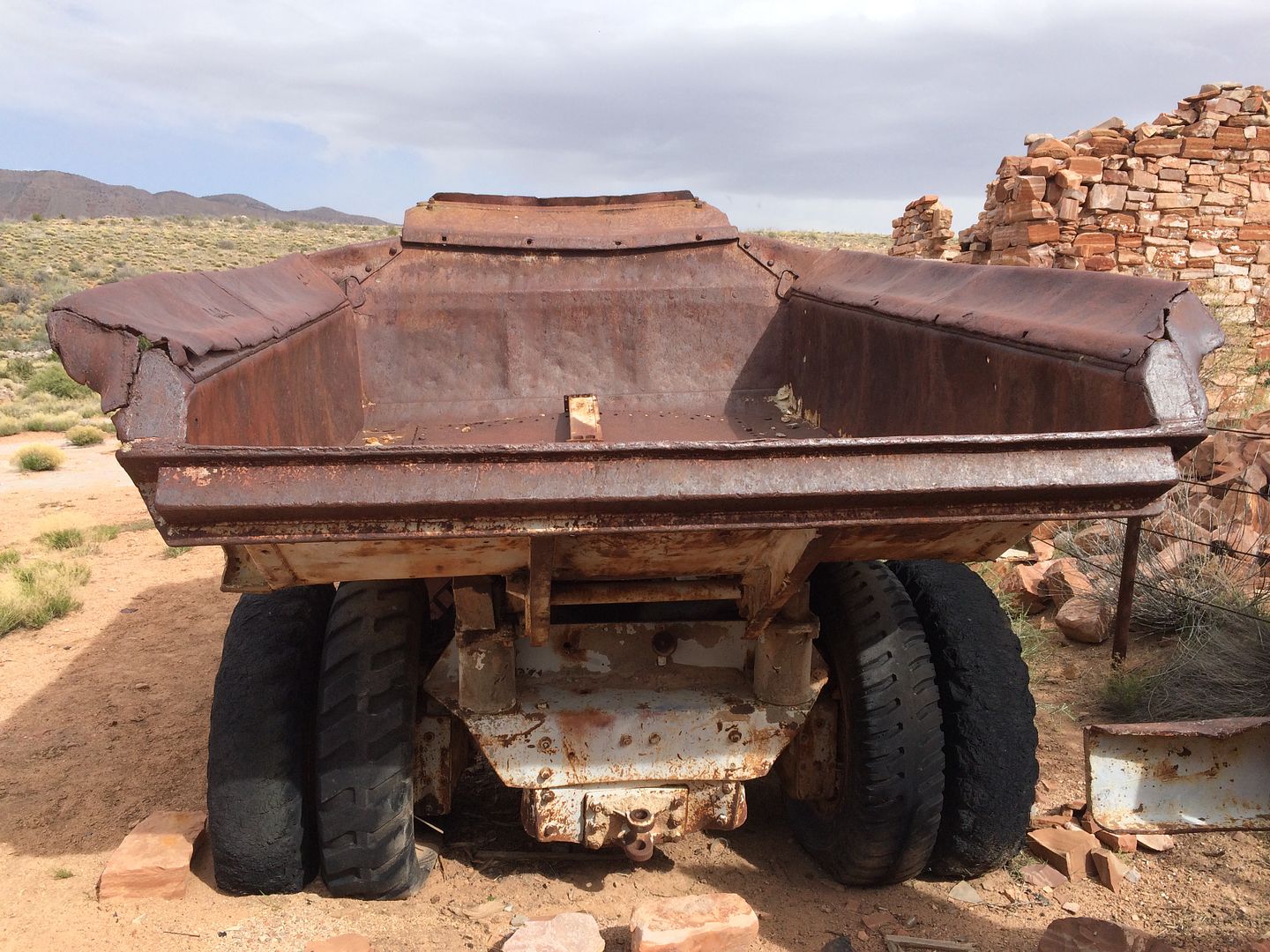
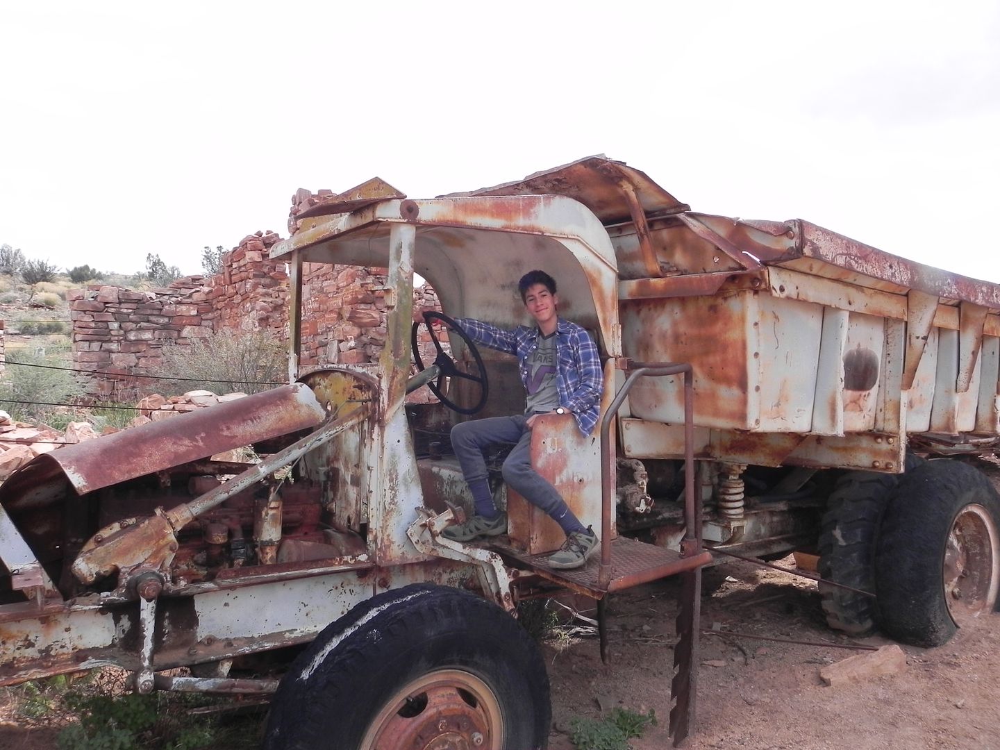
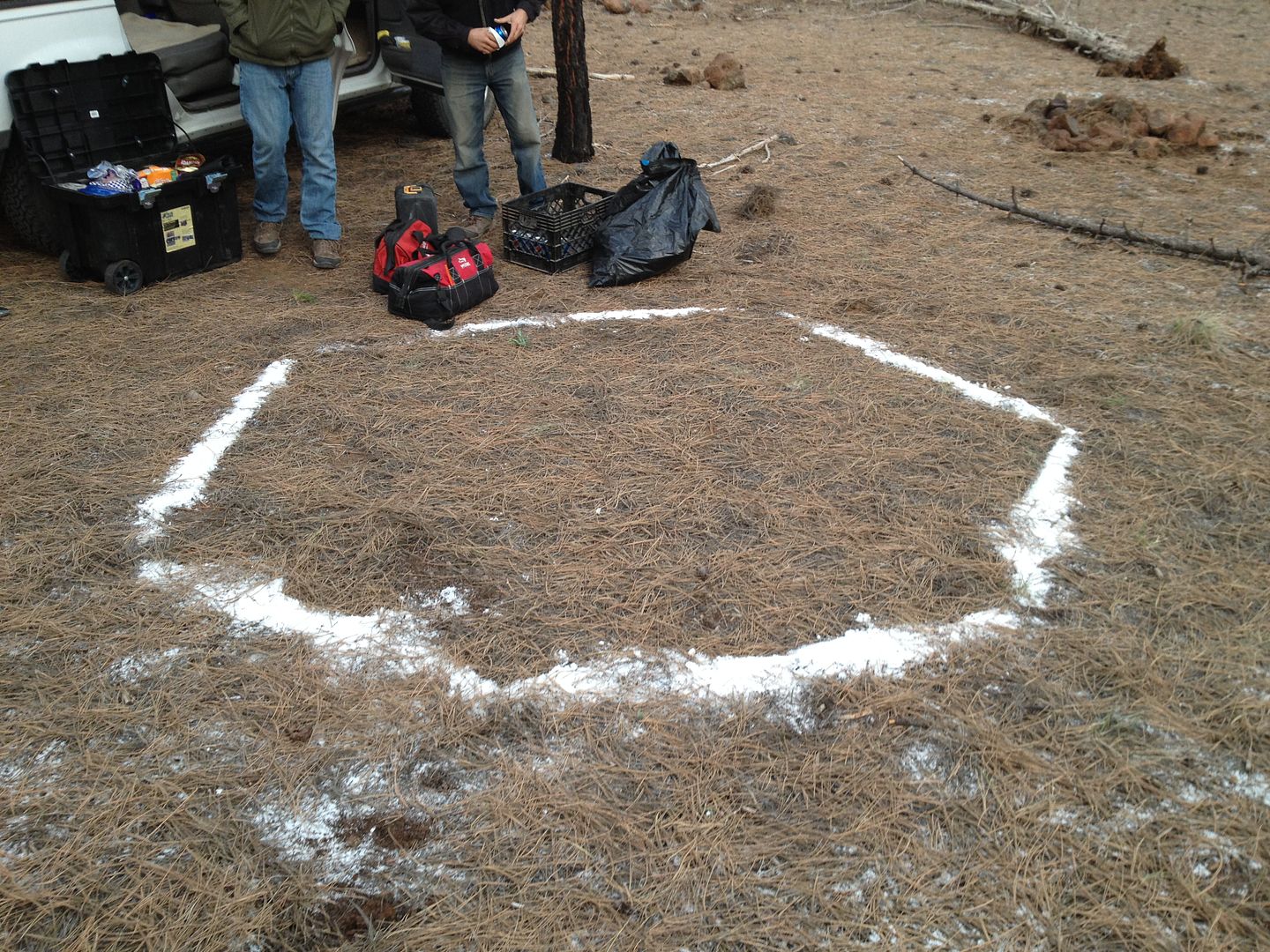
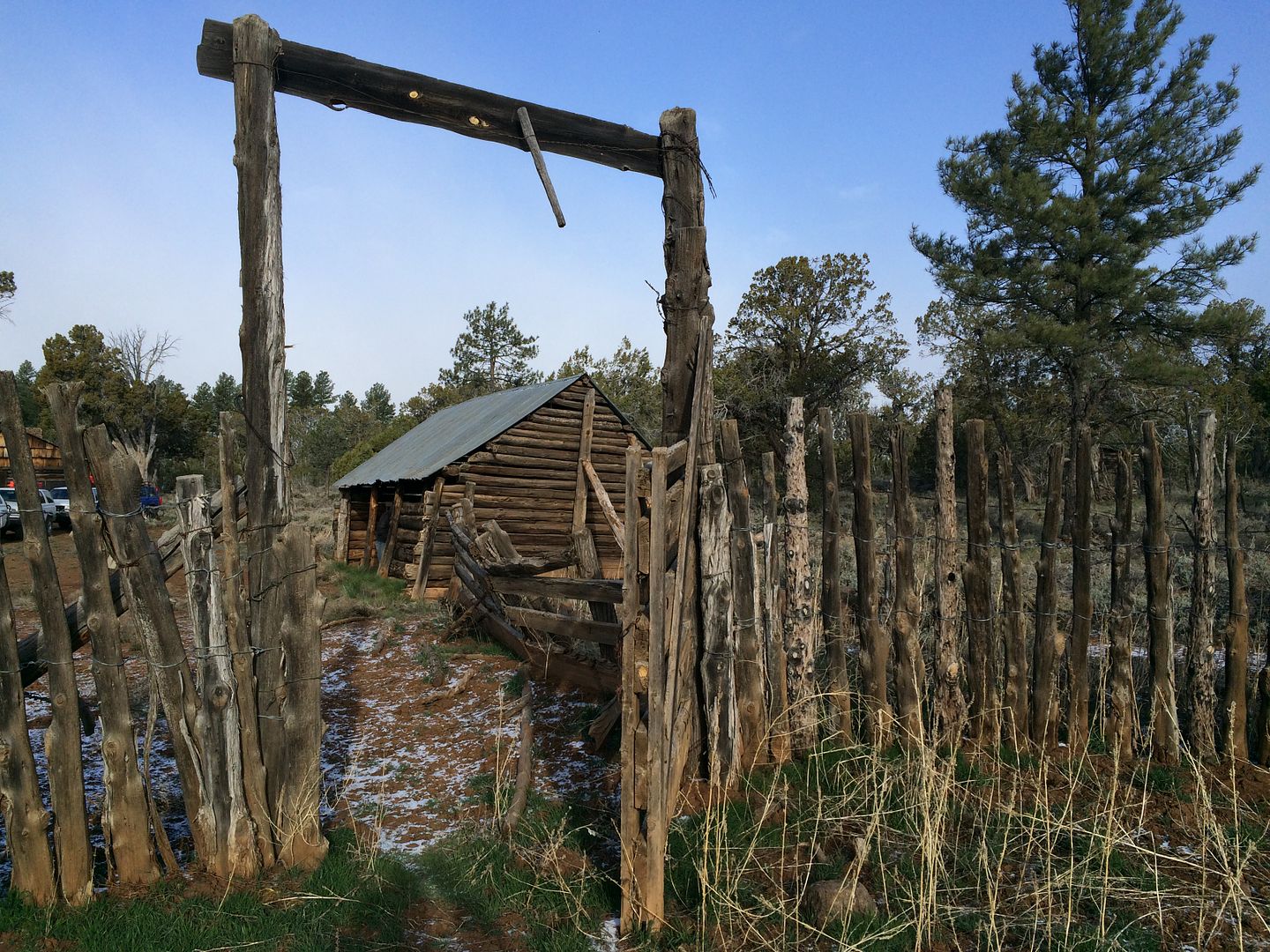
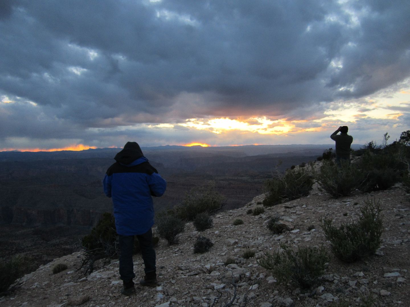
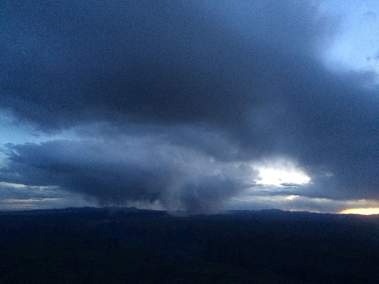
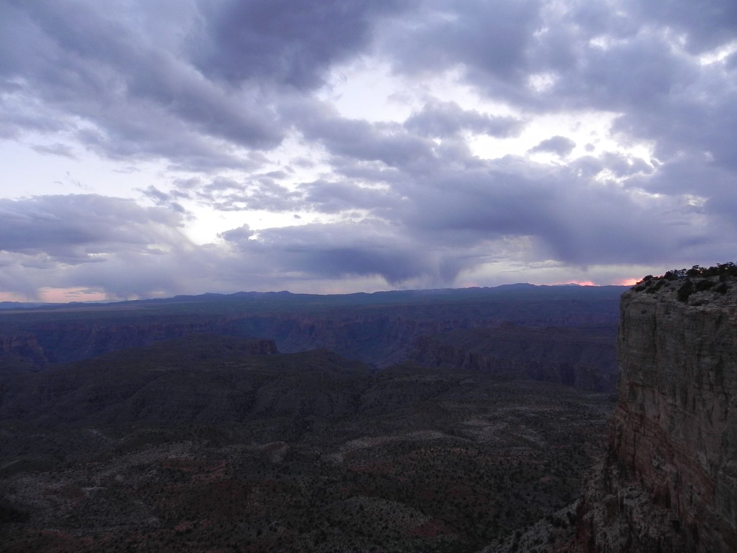
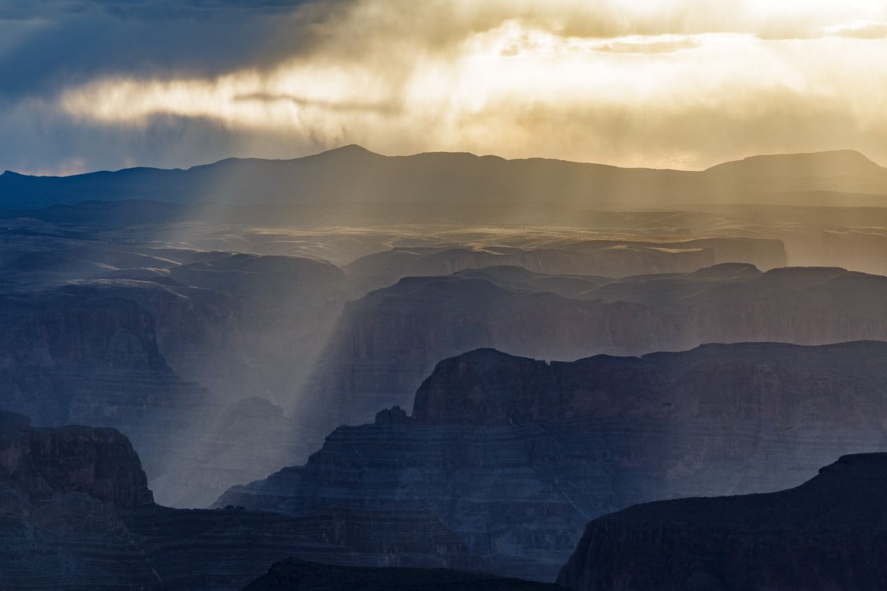
We arrived at 4:30 which gave us just enough time to explore around before sunset. Loads of old rusted metal cans were around. One would wonder who left them behind; were there once some building here at the mouth of the canyon that services workers of the mine?


So far, so good, we only lost one 5 gallon gas can, dealt with a “check engine light” no one got lost and spirits were good. I’ll call that a good first day on the trail, 6 ½ hours dirt driving and 69 miles.

March%2027%20morning.%20Base%20of%20Grand%20Gulch%20Canyon_JMR_zpszfyx93tl.jpg


Thanks,
Fred
Explorer 1
 

Explorer 1

Explorer 1
Day 3 - Grand Gulch Canyon

Day 3 – Grand Gulch Canyon

I have never been up the Grand Gulch Canyon before. Prior conversations with a BLM ranger had given me the impression that it isn’t traveled much and the weather has continued to contribute to the deterioration of the trail giving it a difficult rating. I wanted an early start so the night before I announce we would all be enjoys an “easy” breakfast which means whatever you want; so long at it only involves hot water.

GGC%20Trail%20plan_zpszcfdfabk.jpg


We broke camp and were on our way by 8 am. We quickly entered the canyon and were greeted by our first obstacle, a washout a few years ago where rushing water crossed the trail. Most of our vehicles are just above stock and some of the drivers have limited rock crawling or obstacle negotiating experience. In addition, our vehicles were heavily loaded with equipment, fuel, tools and supplies that made their off-road driving characteristic even more limited.


The guys all did their best but all but one needed to be strapped up the ravine.

Travel up the canyon was slow, very slow. There is a set of steps or small dry falls that took us quite a while to get all vehicles up.


As altitude increases so does the narrowness or the canyon. It was obvious that this is a trail rarely used. Obvious in that the trail would disappear for a short distance in a wash or rock garden. Fortunately, there was only one way to proceed and that was up.


As the day wore on I was starting to wonder of we would make it through the canyon and to our destination, Grand Gulch Mine, before nightfall.

After a difficult turn and climb I noticed that the canyon narrowed to the point that the trail was no wider then my vehicle. If we committed to this next section, there would little room to maneuver. It was already past 3pm and we had only traveled about 3 miles in over 6 hours.

I made a judgement call and turned the guys around. We would have to conquer this canyon another time.

I must say the guys’ attitude and cooperation was great. They reassured me that they came on this trip for an adventure and they certainly were having one regardless of not making the top.
We made our way back down (which always seem easier) and were at our starting morning starting point at 6 pm.

I rallied the guys to push on into the evening following a faint trail toward the Savanic Mine trail. We drove on until 7:13 where we found a flat grassy area next to the trail and called it a night.


As we sat around the campfire that evening we were beat…..but not beat up……and we were looking forward to another day of challenges tomorrow.

We had come so confident of our abilities and now under the evening sky we could feel just how small we really were.

IMG_4293_zpsqvlhtoj2.jpg


Thanks,
Fred
Explorer 1
 

Martinjmpr

Wiffleball Batter
BTW thanks for including maps - I sometimes wish it was easier to include maps in trip reports. This one is definitely high on my bucket list! Great pictures, too. :ylsmoke:
 

Explorer 1

Explorer 1
Day 1 & 2 maps

BTW thanks for including maps - I sometimes wish it was easier to include maps in trip reports. This one is definitely high on my bucket list! Great pictures, too. :ylsmoke:

I just noticed I left off day 1 & 2 maps:

Day%201%20Elbow%20Pass%2017%20miles_zpsqrzsczm5.jpg


Day%201%20Part%202%2023%20miles_zpsc91jjjer.jpg


GGC%20trail%20map_zpsjd0lygak.jpg


Thanks,
Fred
Explorer 1
 

Explorer 1

Explorer 1
Day 4 - Into the ever changing "Known"

Part 1 – To the Savanic Mine

I woke up early, before sunrise and while the guys were still sleeping took a hike to the top of a nearby hill. While sitting on top I thanked God for the quiet coolness of this morning and committed both the known and unknown of the day, to Him.

From my vantage point, I could see north toward Pagoon Springs and the west, The Grand Wash Bay and waiting for us on the east, the Grand Wash Cliffs with its many narrow and steep canyons. One of them yesterday, got the better of us and we had to turn around, today we'll try the Savanic Mine route, one that I traveled a few years ago. At this point I am confident we can conquer the trail challenges with our assortment of vehicles and drivers.

Here are two sunrise pictures taken just minutes apart.

IMG_2526_zpsimwzmdlk.jpg


IMG_2527_zpshrjhqkn7.jpg


Breakfast and breaking camp went well, we were off traveling just before 8 am. Maybe it was just me but the guys all seemed a bit more subdued than yesterday.

untitled-11_zpskbpyh2it.jpg


As we traveled I kept expecting to come around a corner and recognize some landmark or turn in the road, I even requested the guys who had traveled with me before to radio if their memory brought up something they saw before. However, the radio was silent and we kept moving along through the desert terrain of sand and rock occasionally rubbing against a bush that had grown into what was to me an unknown path.

Finally we came to “T” in the trail with National Park signs indication the right turn choice was a closed road and our only option was left (east). I remembered years ago talking with the BLM ranger and him telling me that the Park service had closed several road around the Grand Wash, adding “he didn't know why they did that”. So as we turned east and started climbing the terrain became more familiar. The steepness and occasional rock in the trail made for slower travel, all of us choose the lower setting on our transfer case.

IMG_0682_zps2w3w5l2o.jpg


This trail is steeper than it looks; the elevation chart at the bottom of the trail map, on the far right, gives some indication of just how steep climbing the Grand Wash cliffs is.

Day%202%20Grand%20Gulch%20Mine%20Part%202%2033%20m  iles_zpseoo7yoen.jpg


As we worked our way up the canyon we would make long traverses across a mountain side, at each point there were great views back over the miles we had traveled today and the days before.

Road%20to%20Sanvanic%20Mine_zpszkdgrydy.jpg


After a few miles of climbing we “popped” out unto a beautiful saddle worthy of a picture break which also facilitates a chance for some of the engines and transmission to cool off after the climb.

1a_zps6wb47s9d.jpg


IMG_0690_zpsxgj9th3q.jpg


March%2028th%20no%20clue%20where_JMR_zpsushgciru.j  pg


In the movie from this saddle you can clearly see the trail climb and the canyon narrow more.

DAy%204_zpsty8m6ilr.jpg


This section is one of my favorite drives in the Arizona Strip. Much of it is a narrow shelf road, something those scared of heights, won't enjoy.

IMG_0681_zpsxy2irq3c.jpg


IMG_0687_zpsse9zq1qm.jpg


It was quite an engineering feat to build this road; looking back you can see just how much “rock stacking” was required.

untitled-12_zpsrgmuxq4v.jpg


As you round one of the many outside corners you can see the canyon where the mine rests just before the final climb out of the canyon called the “Staircase”.

March%2028th.%20Savanic%20Mine%20Overlook_JMR_zpsp  8s4whmd.jpg


Few structures remains at the Savanic Mine along with scattered equipment and several caved in mine entrances. The two that are still open drop into a dark chasm.

untitled-14_zpsbh1b4ehe.jpg


IMG_4313_zpsgkjqxyvp.jpg


IMG_4312_zpstse56du0.jpg


The Youtube movie of the trail to the mine was sped up 2 to 4 times which did some strange distortions to some of the sound. It's 9 1/2 minutes long and takes you up to the Mine.


Up the Staircase next,

Thanks,
Fred
Explorer 1
 
Last edited:

Explorer 1

Explorer 1
Day 4 -Part 2

The Staircase and the Grand Gulch Mine

After our visit to the Savanic mine, I explained to the group that we had a brief rocky section ahead of us before we crested the top. I believed they could all do it without help based on my previous experience a few years ago.

The first obstacle we call “The Rock” and it’s just that. Sometime in the past a big rock about 4 feet in diameter rolled down and planted itself right where you would normally put your driver’s side wheels. Last time we did this trail a never 4-Runner did some damage to the driver’s side door on the rock and the Dodge Ram truck had to be pulled through. The pictures and movie is a bit deceptive, it looks like you can just crowd the hillside on the passenger side and cruise through. The problem comes when you try this and the angle and loose soil causes a downhill slide. The driver when sensing this, usually applies more skinny peddle which only increases the sideway sliding. I recommend that they lined up straight and then crowd the “rock” barely kissing it, and then drive straight through not turning their steering until the rear tire comes equal with the “rock”. You can see in the video the variety of ways this was interpreted by the drivers. Regardless, they all got through.

As I drove ahead of the group it was obvious that the trail had deteriorated since my last visit and some of the vehicles were in for a challenge similar to what we had experience the day before on the Grand Gulch Canyon.


I was pleased and surprised how the guys rose to the challenge. They were all fast learners and demonstrated their skills on this section. Still the Ford struggled the most. I decided to attach the strap to the Ford and just pull it up all the steps to the top. The strap worked well and I only had to use the lockers once climbing and pulling up one of the steps. I was almost at the top when I was radioed that Rudi’s Jeep ZJ which had broken a rear shock the day before had flexed too far and his coil spring was laying on the trail. I needed to drive down and help with a solution, hopefully find a spot I could turn around nears the ZJ. Fortunately, there was a spot wide enough to make a 5 point turn and with some creative jack and pry bar use we were able to re-secure the spring and then use a racket strap as a limit strap so the axle wouldn’t flex too far. The stop only took about 30 minutes.

IMG_4298_zpswvp2pc9k.jpg


untitled-15_zpsuragthn6.jpg


IMG_4331_zpssr8wvnc2.jpg


The last 200 yards the trail improves and instead of finishing the climb to a pass or saddle you enter upon a whole another level plateau. The views are worth the rocky climb and on this trip the clouds cooperated in making the horizon and sun burst through the clouds spectacular.

March%2028th.%20Top%20of%20Savanic%20Mine%20Trail%  203_JMR_zpswcmkutyp.jpg


We pause on top long enough to enjoy lunch, which most of us ate inside since the wind was howling.

IMG_0695_zpsvxpnxm1u.jpg


Our next destination, the Grand Gulch Mine took us north on what seemed a “super highway” after the two days of canyon climbing. In 2WD and speeds up to 35 mph we arrive at the mine in a short time.


IMG_0738_zpsuxqn4tji.jpg


IMG_0724_zpszf2tqmrg.jpg


There are loads of pictures on the internet of the remains of the Grand Gulch Mine but even with so many it still doesn’t give you the feel of this very remote place. The equipment and buildings are slowly weathering surrounded by fantastic views, truly a great place for those inclined to take pictures.

DSCN3686_zpsvemvwvoh.jpg


IMG_0703_zpsv7fhsby0.jpg


DSCN3677_zpsj9c3oc04.jpg


March%2028th.%20Grand%20Gulch%20Mine%205_JMR_zpscevgpgeh.jpg


March%2028th.%20Grand%20Gulch%20Mine%204_JMR_zpsk1xouqsm.jpg


March%2028th.%20Grand%20Gulch%20Mine%203_JMR_zpsplg95kn0.jpg


IMG_2532_zpsvuulcigq.jpg


IMG_0699_zpssmqynyrw.jpg


DSCN3673_zpsruppsr99.jpg


While exploring the mine we noticed that Rudi’s ZJ, the one that threw the rear coil spring, rear brakes lines were leaking. What had happened is that when it hyper extended and threw the spring it also stripped the threads on the brake line so it no longer sealed. Our only option was to disconnect the line and crimp it over to prevent further leaking and then continue the trip with 3 wheel brakes. There was a perfect spot to do the work at the mine. A nice level slab of cement and we also found a good use for some of the firewood he had been carrying.

DSCN3696_zpsmlqjcdhk.jpg


IMG_0709_zpsmxyvrmxz.jpg


This was one of those jobs that provided some entertainment for the rest as they watched.

Wayne was more interested in others things:

untitled-20_zpsohe9rlgo.jpg


March%2028th.%20Grand%20Gulch%20Mine%2013_JMR_zps5  eoleseq.jpg


I believed the next day’s destination, Kelly Point, was still a long ways off so I hurried the repair and we got underway with the idea of reaching the shelter of Oak Grove for the night. The sky was beginning to look like rain or snow so off we went.

March%2028th.%20Grand%20Gulch%20Mine%206_JMR_zps3r  w5cqka.jpg


The road north from the mine joins in our road to Oak Grove and Kelly Point. It continues to improve and soon you can drive 40- 50 mph on a well graded wide road. As you enter the forest it’s easy to forget how close you are to the Grand Canyon.

_MG_0329_zpswiprjy0d.jpg


We found a nice spot in the tall trees with loads of firewood lying around. There were some small snowflakes beginning to fall but we still enjoyed the fire and congratulated ourselves making 57 trail miles in 11 hours.

Morning%20of%20March%2029th%201_JMR_zpsg8jefk8e.jp  g


Thanks,
Fred
Explorer 1
 

Explorer 1

Explorer 1
Day 5 - Kelly Point

Day 5 - Kelly Point
Part 1

Our camp in the trees was cold and quiet. In the morning we noticed small gatherings of white stuff that had fallen the night before.
IMG_2534_zpslxilxmsv.jpg

Needless to say it was a bit brisk breaking camp, we all made frequent trip to the fire to warm our hands as we made contact with metal parts of our breakdown.

Enough miles had been driven to make our vehicles thirsty; fuel was transferred to our main tanks this morning.

untitled-26_zps5o4jrbgd.jpg


untitled-27_zpsnduzrdxz.jpg


The meeting of the “hooded” drivers:

IMG_0743_zpsmkifxbmx.jpg


I had only been to Kelly point once before and was grateful for the tip from the BLM Ranger to bring along a chain saw and large loppers on that trip. I stopped counting at 40 the number of stops we had to make to cut and remove trees from our path. This trip we had two chain saws and every person come with a set of loppers.

At the beginning or the Kelly Point road a large gate has been installed by the Park Service. They want to keep vehicular traffic out until the last Friday in March. That was just a few days ago and judging by the lack of track in the roadway, we well might be the first vehicles out to the point this year. I expected to find several trees down.

In a short time we came to one of the Homesteads now abandoned and slowing succumbing to the elements. In the past you could enter the old home and examine the interior, now the doors are either locked or steel wire mesh only allows you to peer in.

IMG_4321_zpsx9aulqwo.jpg


IMG_0748_zpsalnfgiwe.jpg


untitled-32_zps67hnic29.jpg


This homestead sits on the one end of a large “meadow” and sometimes early in the season the “road” is just a muddy clearing through the sage. I was surprised this early in the season to find no mud at all. All the spots that gave us challenges last time were completely dry. As we crossed the meadow it started to snow again. Large flakes quickly melting when they came in contact with my wind shield.

The road to Kelly point is long and lonely. At times it’s slow going due to the erosion of the soft soil from the road exposing the rough rock that brings your speed down to a crawl, nothing technical, just bumpy and lots of bouncing around. By the way, on this trip we didn’t have a single tree across our path, so much for being prepared with the saws and loppers!

Here is an 8 minute movie in high speed, covering part of the journey out:


Until you’re almost at the end 31 miles later, there really aren’t any views to observe, you’re just traveling through a forest of short pines and junipers. It so long and bumpy, with so little to see that one can wonder if the drive is worth it. Once arriving at the road end all doubts are removed as one gazes in silence at the awesome panorama appropriately named, The Grand Canyon.


There are several level camps spots near the edge where you can camp and wake up viewing the canyon. The spots are so close to the edge and the thousand feet or so drop. Even with the transmission in Park and the parking brake applied, one still places some extra rocks against their tires as added insurance.

Where Rudi parked his ZJ it was a downhill slope to the sheer cliff. I recommended some extra rocks for his tires and he said he felt the parking brake and transmission should be enough. I told him I felt the same way last time I was here, but told him about lying in my sleeping bag slowing falling asleep when I started thinking about the edge and how far down it was……….I then got up in my bare feet and found a few rocks for my tires before crawling back into my bag and dozing off.

A couple of hours later just before dinner, I smiled as I walked by Rudi ZJ and saw some rocks in front of his tires.

The same storm that provided some snow earlier that day was still present in the canyon.


As we sat by the fire that evening the colors of the canyon were wonderful, and if that wasn’t enough we had the storm providing us a show besides. We could see the rain falling at several places both above and below our elevation on the surrounding mountains and in the canyon.

These pictures, taken in the evening don’t do justice to what we actually saw:

Day%205_zpsllfdorm2.jpg


IMG_4325_zpswbeolw9g.jpg


IMG_0776_zpsxjjgnsvt.jpg


You can just see our camp on the right:

DSCN3742_zpsgex7zaqv.jpg


untitled-42_zpsyvegtrnb.jpg


More on Kelly Point next,

Thanks,
Fred
Explorer 1
 

Forum statistics

Threads
185,840
Messages
2,878,753
Members
225,393
Latest member
jgrillz94
Top