1MK
ExploreDesert
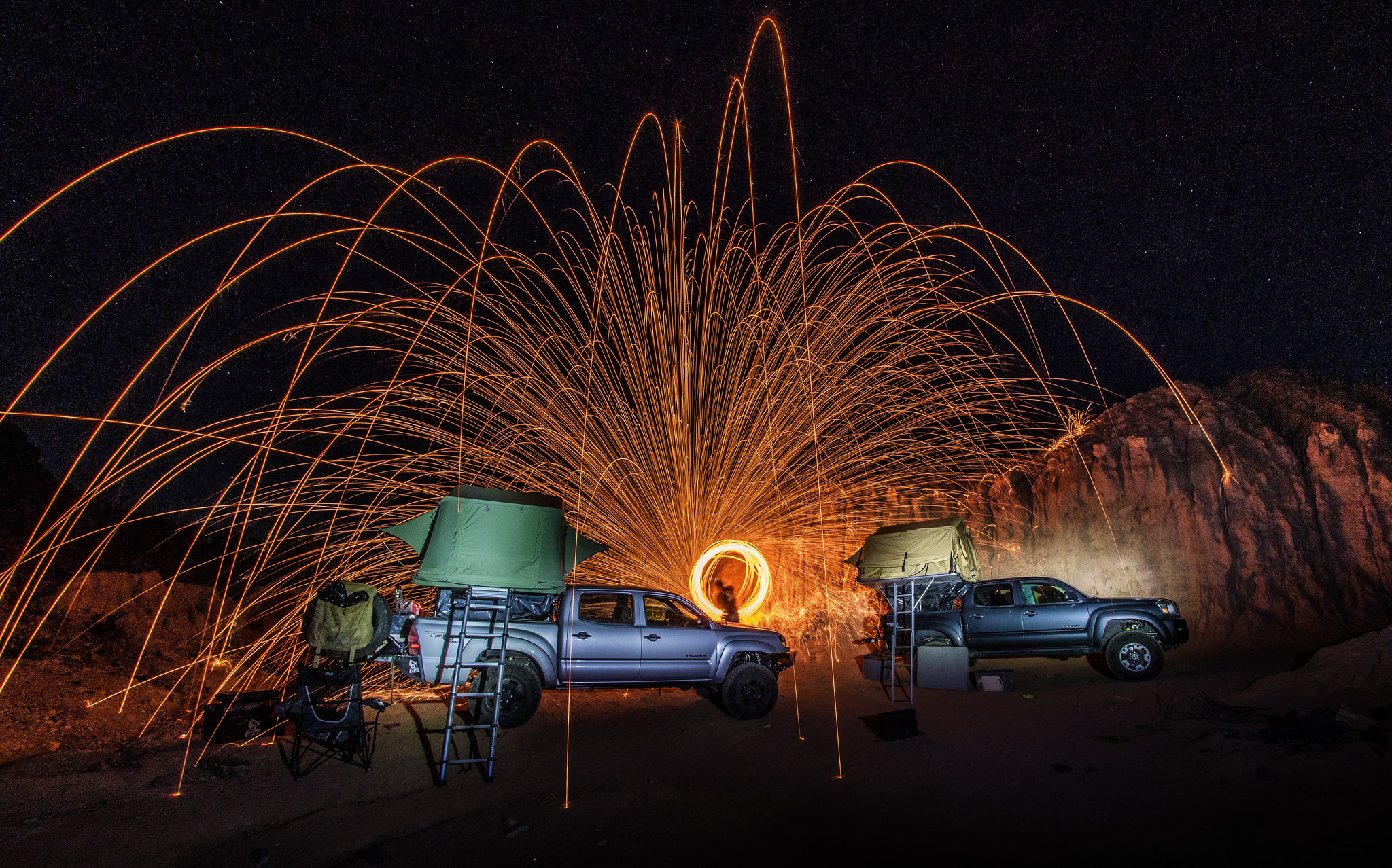
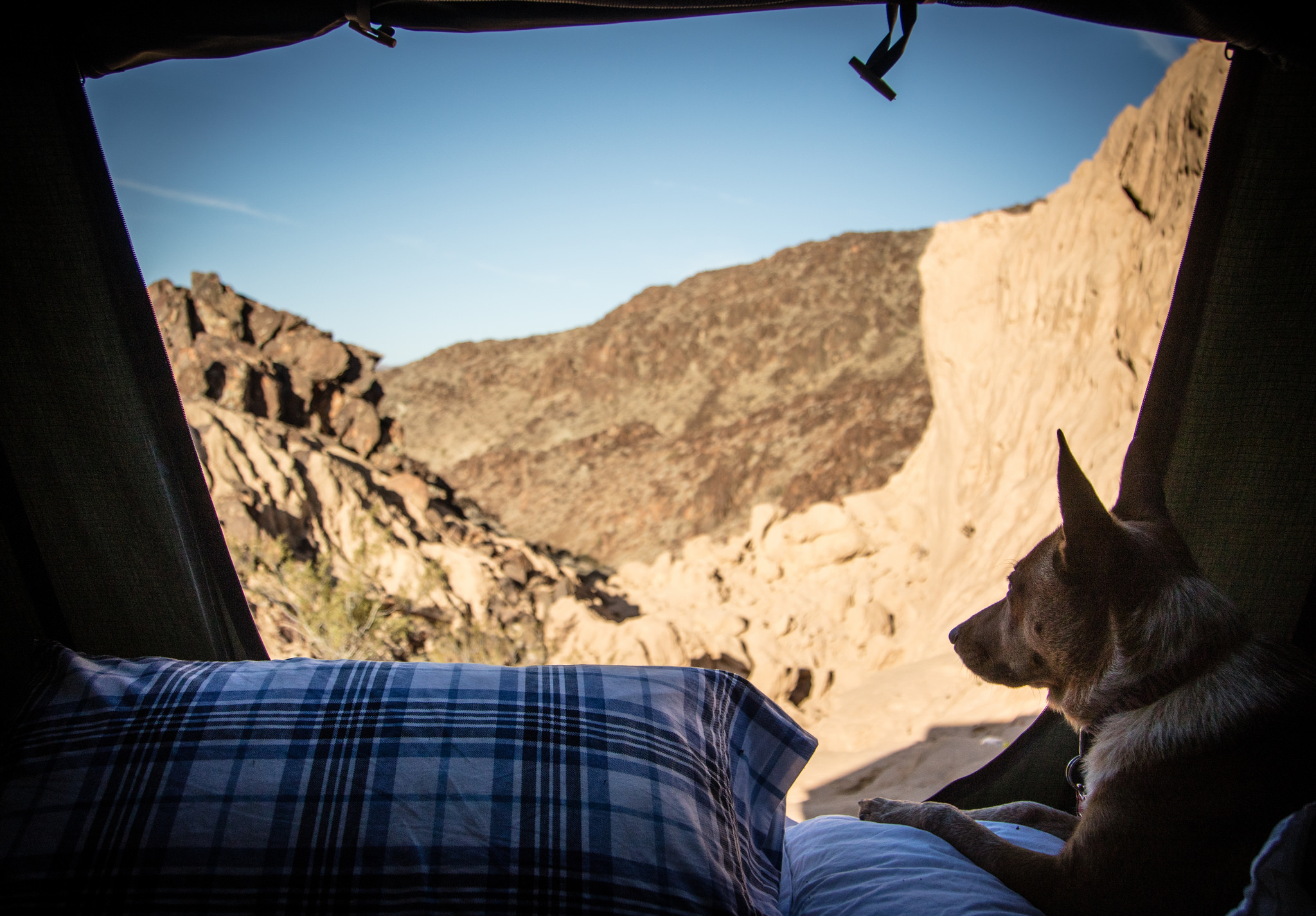
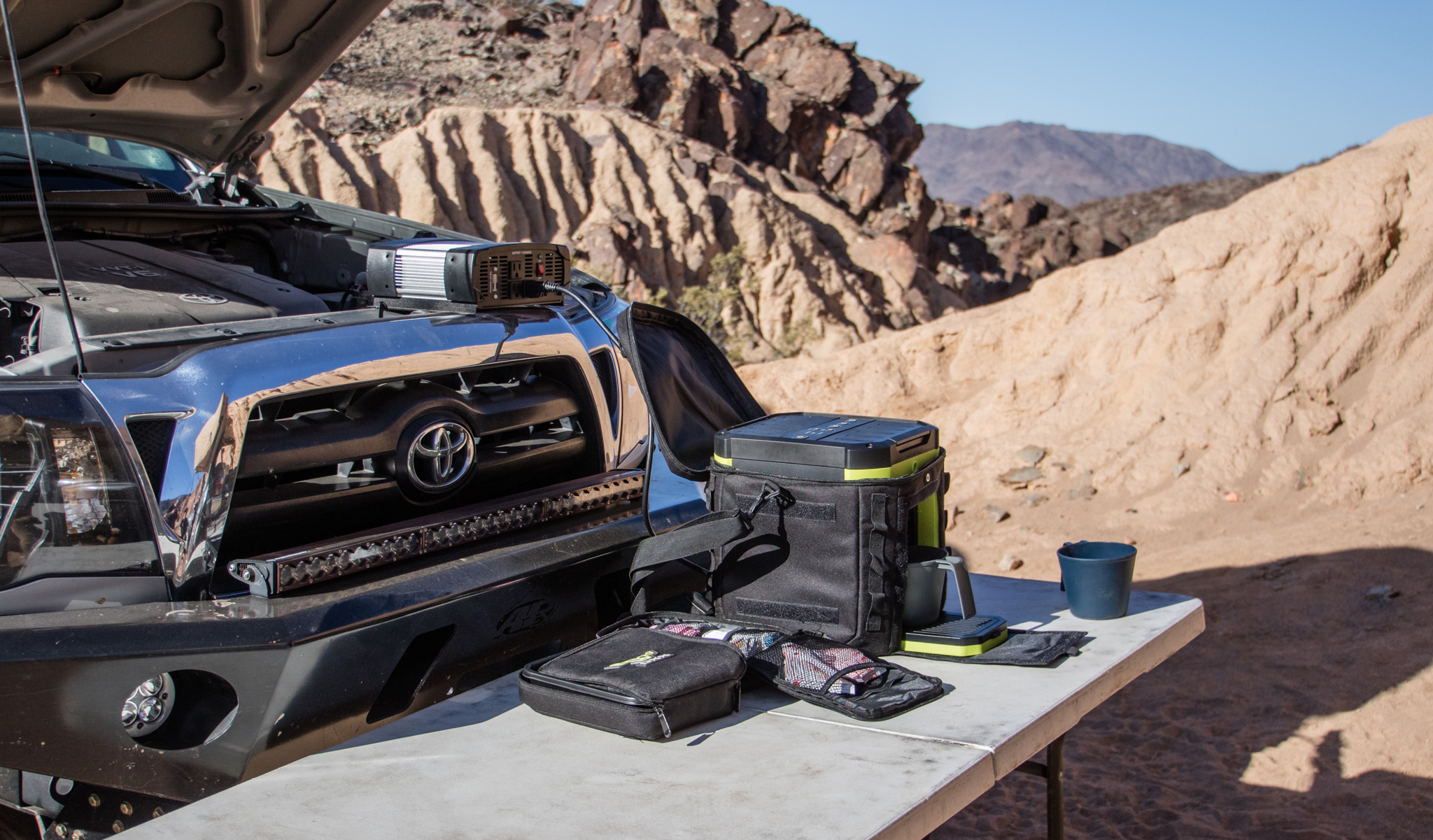
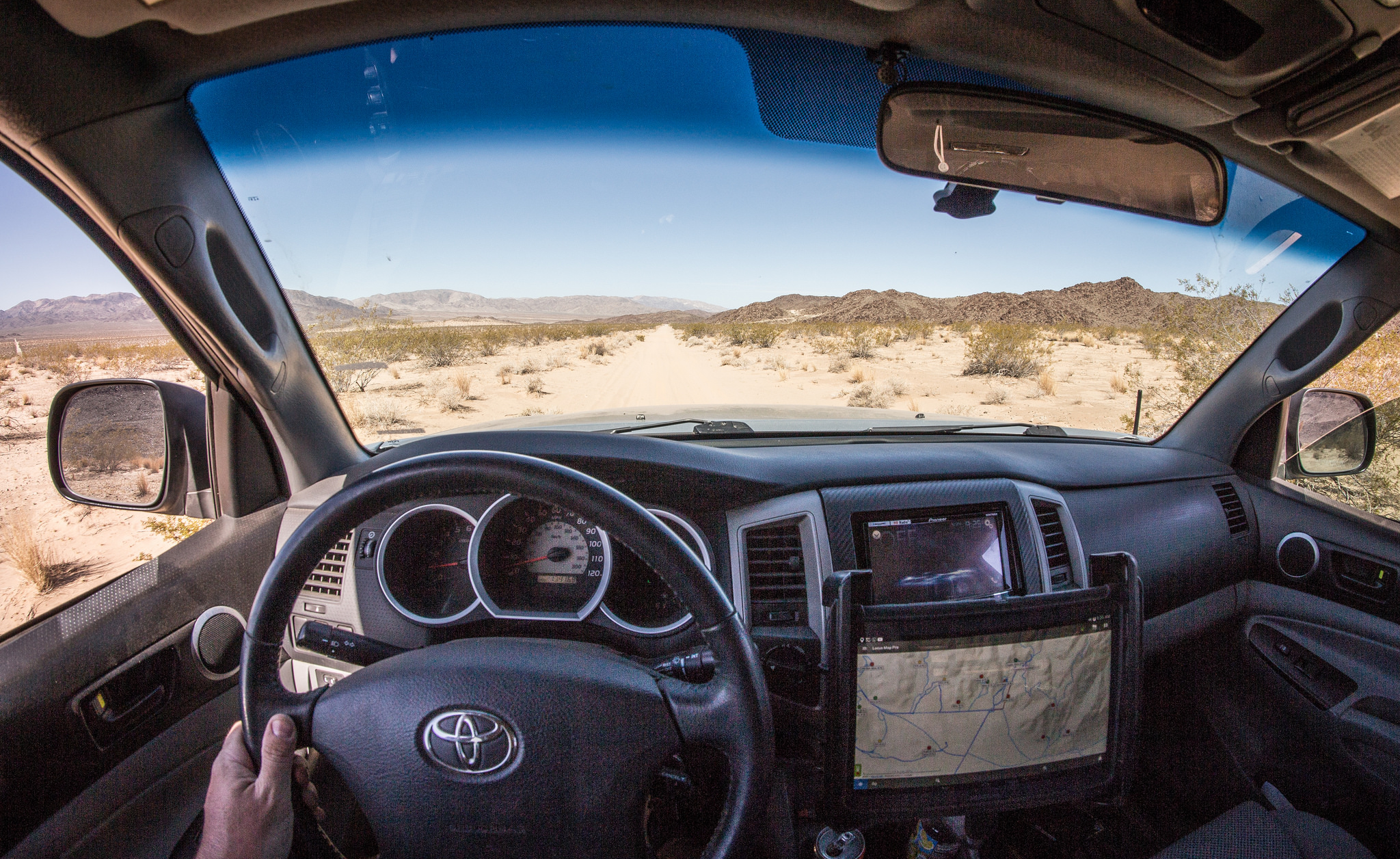
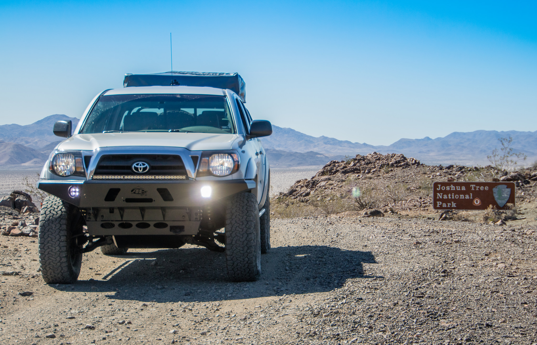
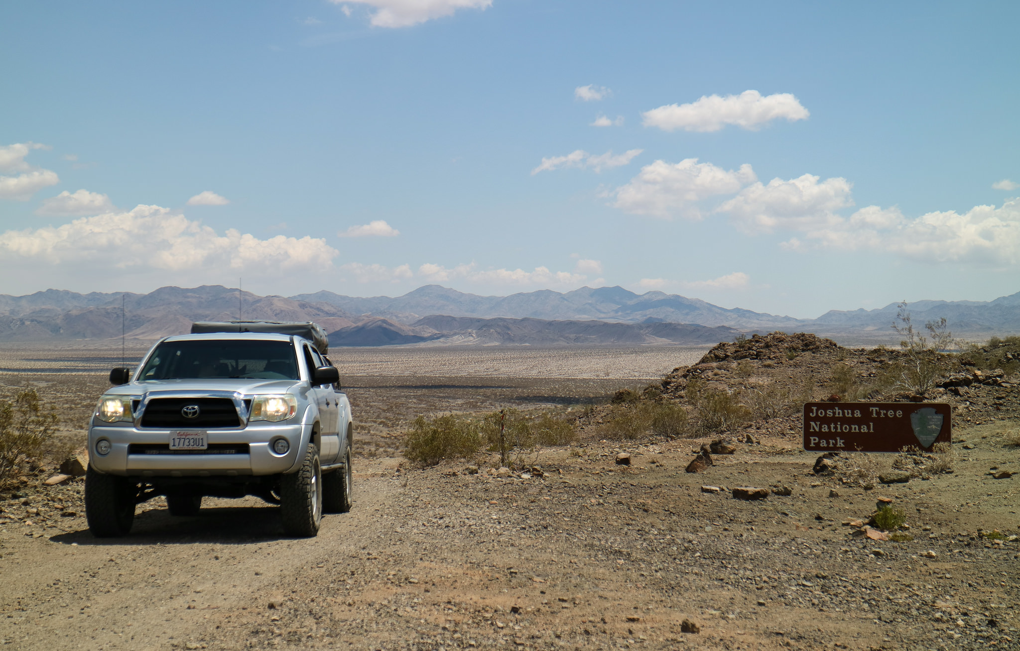
Sometimes it's not about the big trips. Time off work, mileage, cost and complexity limits the amount you can get out there and enjoy the outdoors. While it's fun to chase the over-landing dream and cover as much distance as possible, it's also a great time and a bit more relaxing to keep it local. Living in Southern California may be expensive, but it has it's perks. Within 2 hours I can pull out of the garage and be at one of many local playgrounds, whether it be low desert, high desert or the mountains. So with that in mind and a open weekend on my hands, I decided it'd be the perfect opportunity to further explore the Old Dale Mining District.
Sandwiched in-between the vast Joshua Tree National Park, Old Dale hosts a diverse network of trails - everything from smooth sandy washes to tough and unforgiving rock filled shelf roads. But what really makes the area a great place to explore is the amount of abandoned and forgotten mining history. At one point this portion of the desert was bustling with activity and traffic. Claims were filed, cabins built, mills constructed, roads graded, wells dug and families relocated to support prospectors trying to strike it rich in the ore filled mountains.
I haven't been able to find much in the form of documentation or pictures from the era other then the great articles put together over at Death Valley Jim, his site has been a fantastic resource. Suppose the lack of information makes it that much more of a mystery and a great destination for a local escape from the daily grind.
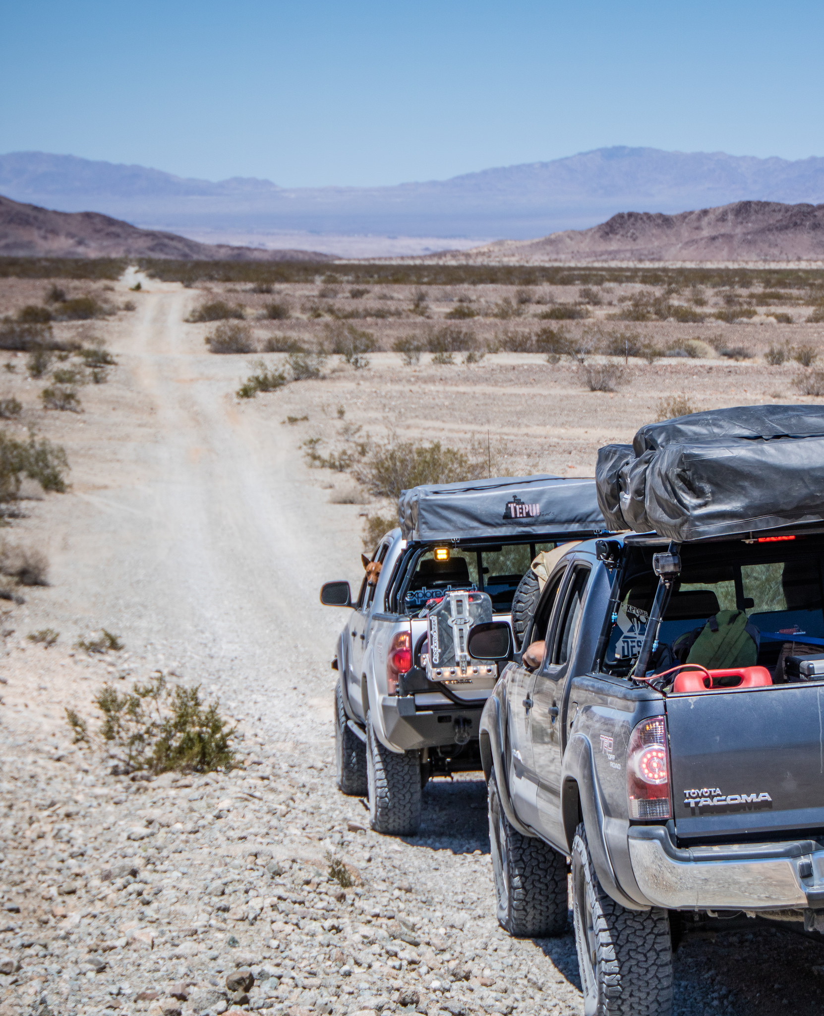
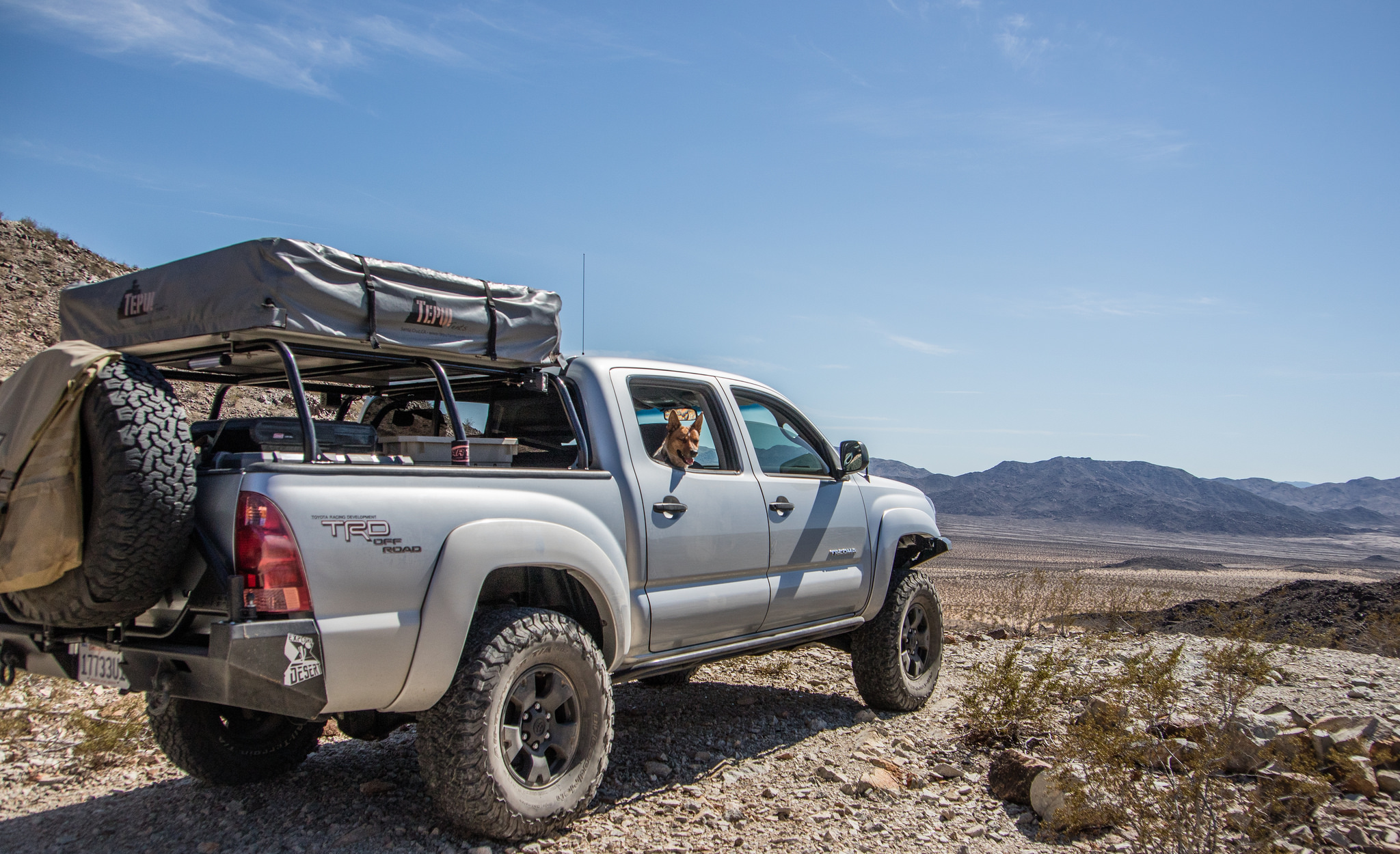
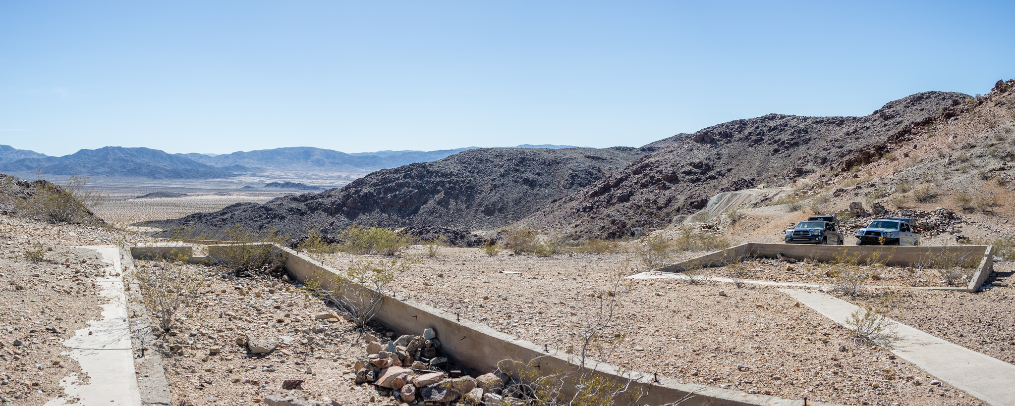
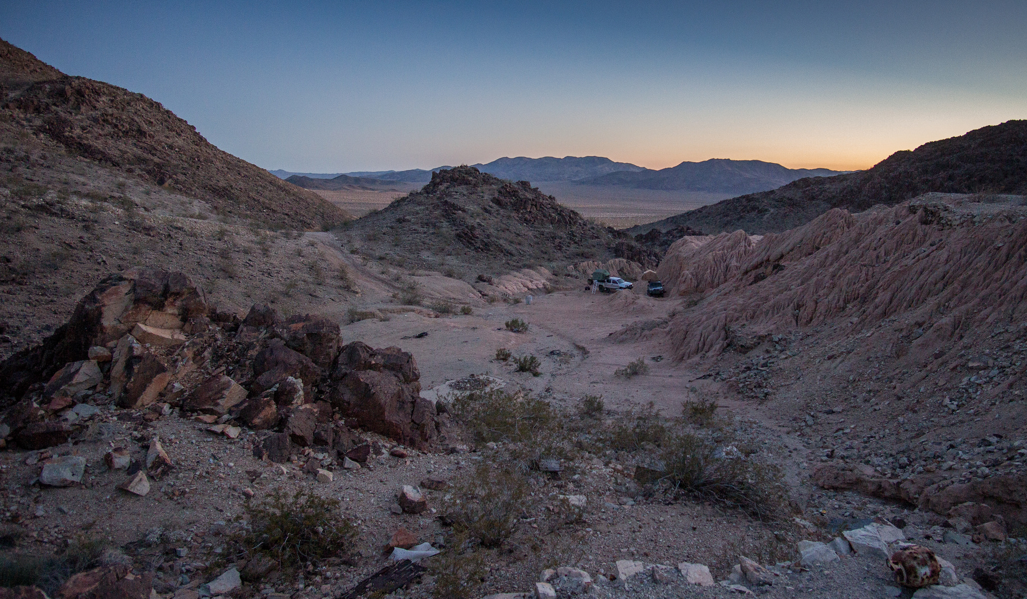
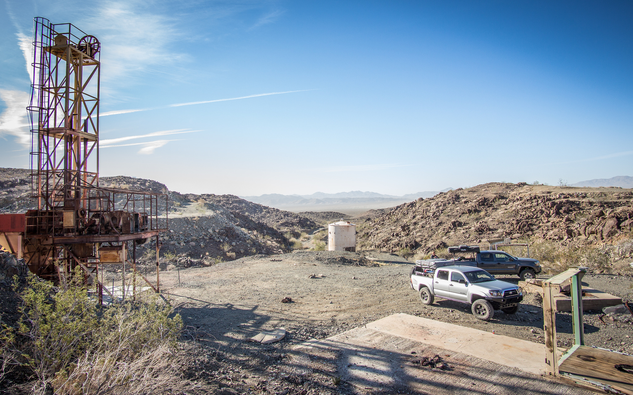
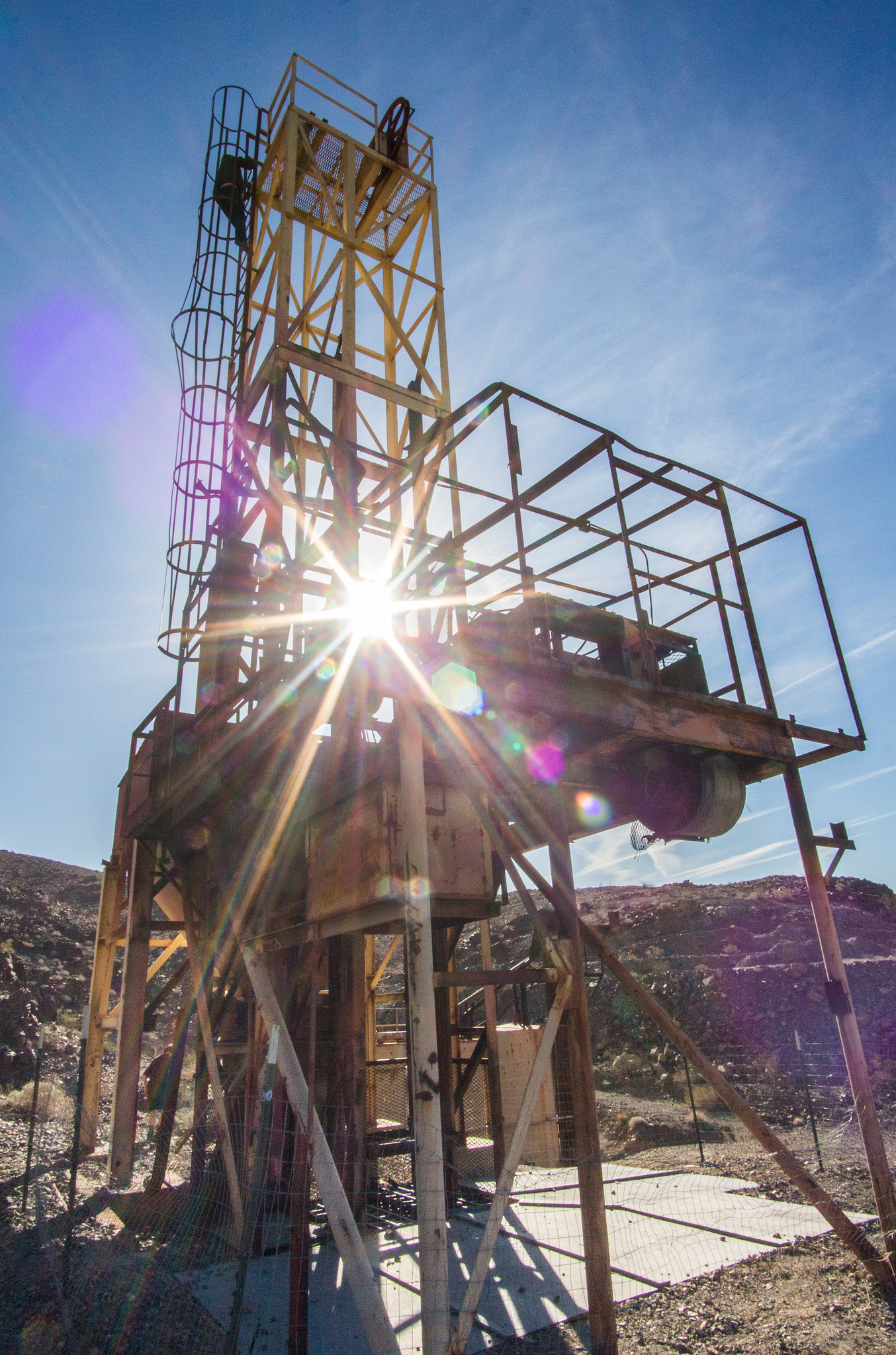
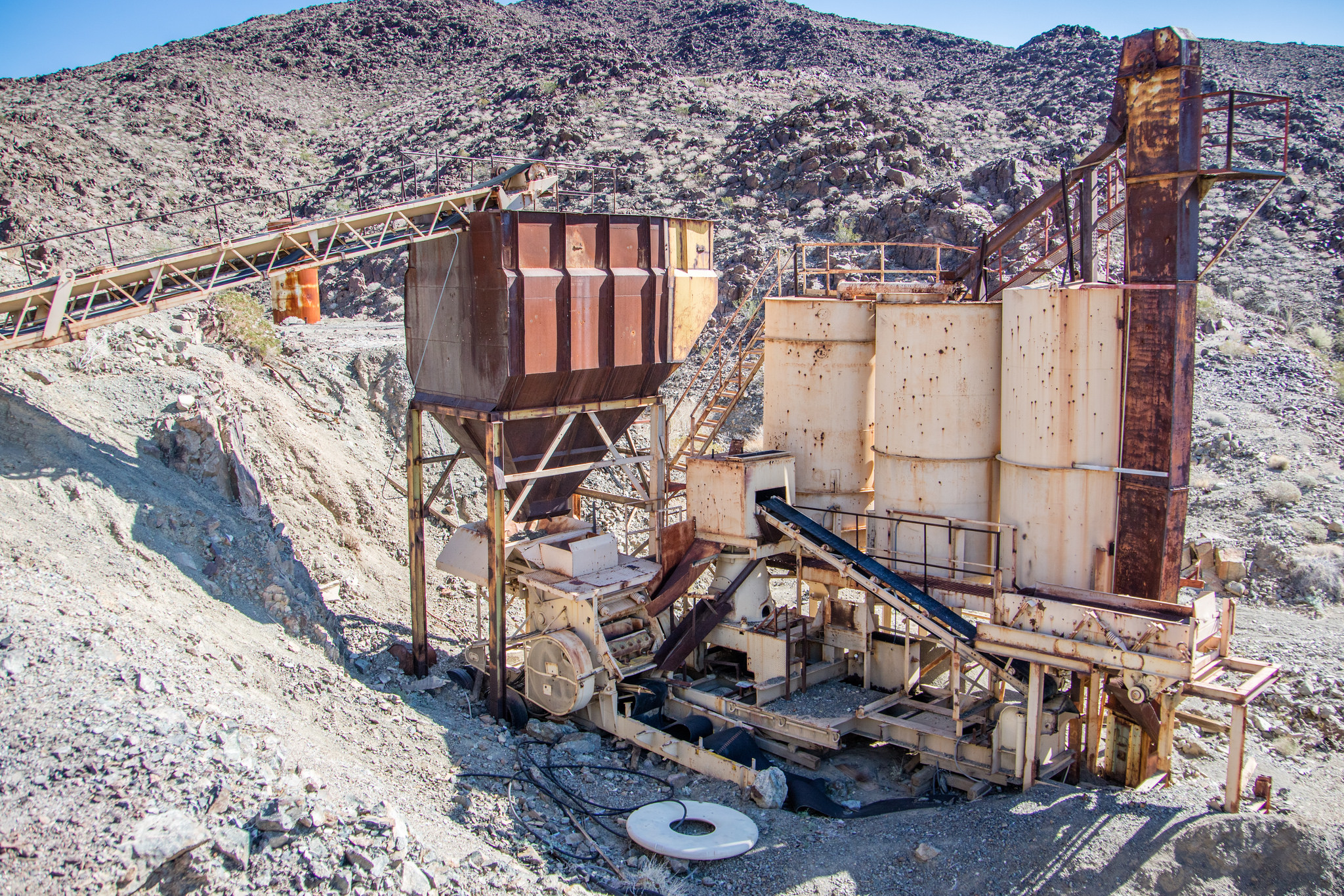
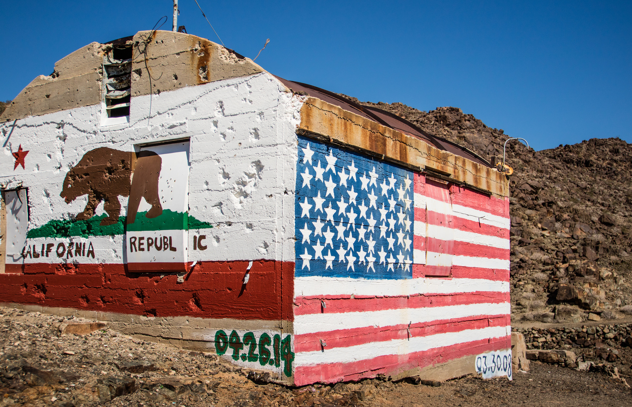
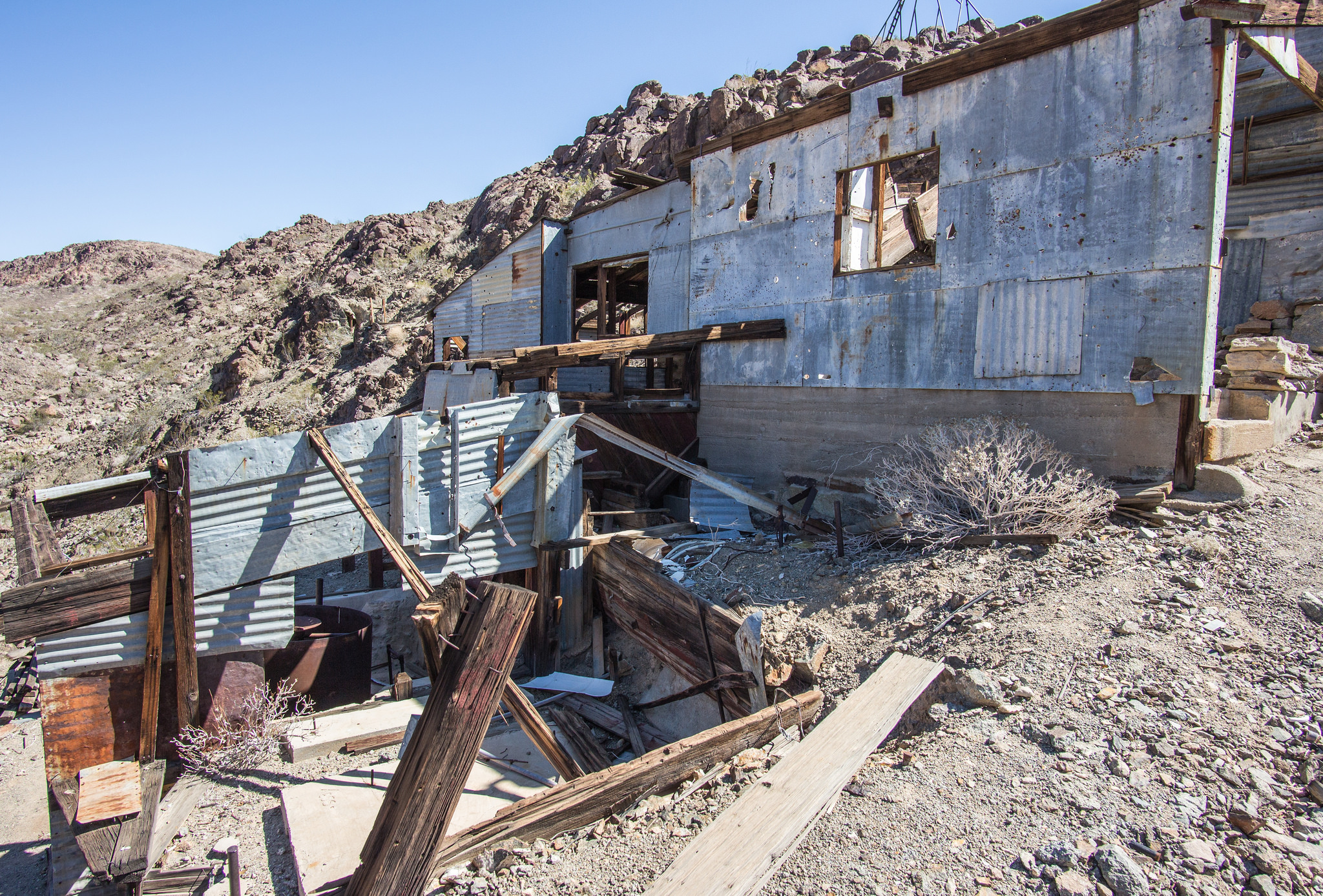
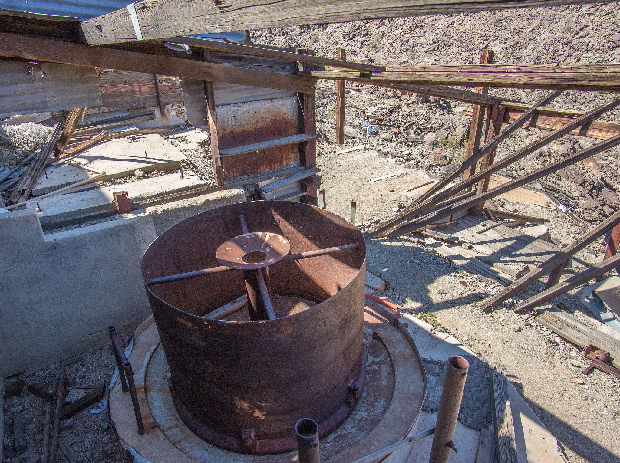
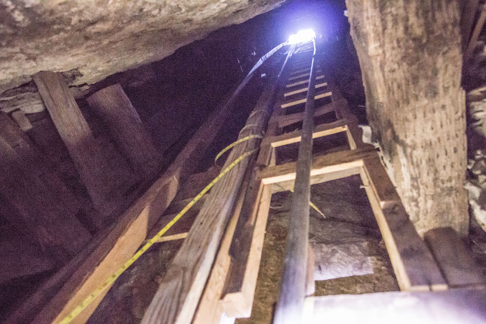
After work on Friday, I met up with my cousins who were eager to try out their freshly built Tacoma and within an hour we were airing down tires and heading for our camp spot. Surprisingly the two spots I had in mind were already occupied by other campers marking the first time I've come across other people in Old Dale. We had to backtrack a little ways and found something suitable for the night. In the morning we made our first stop at the Mission mine. By far the most modern and recently worked in the area. A massive steel head-frame for a elevator and ore processing equipment still stand.


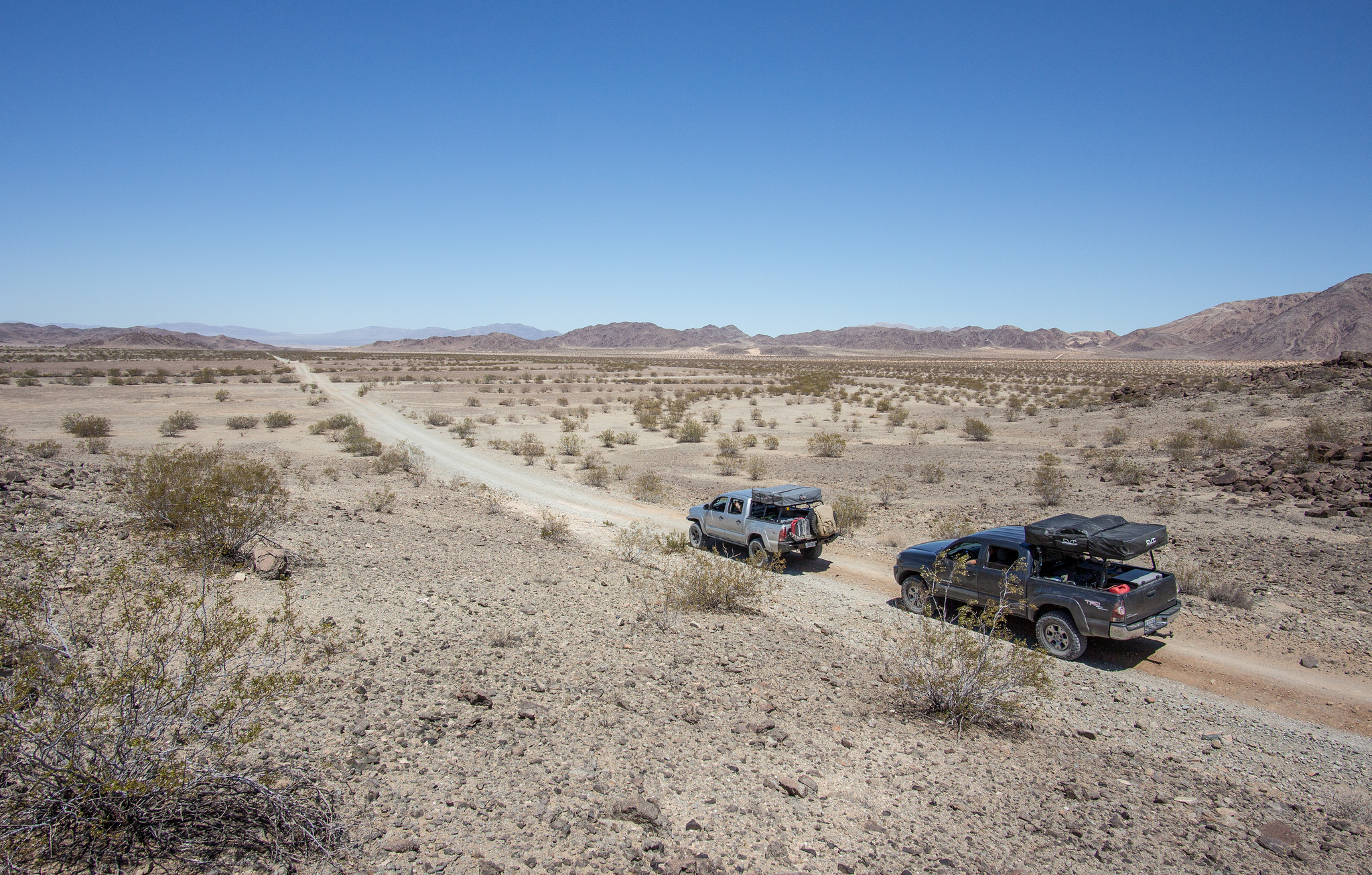
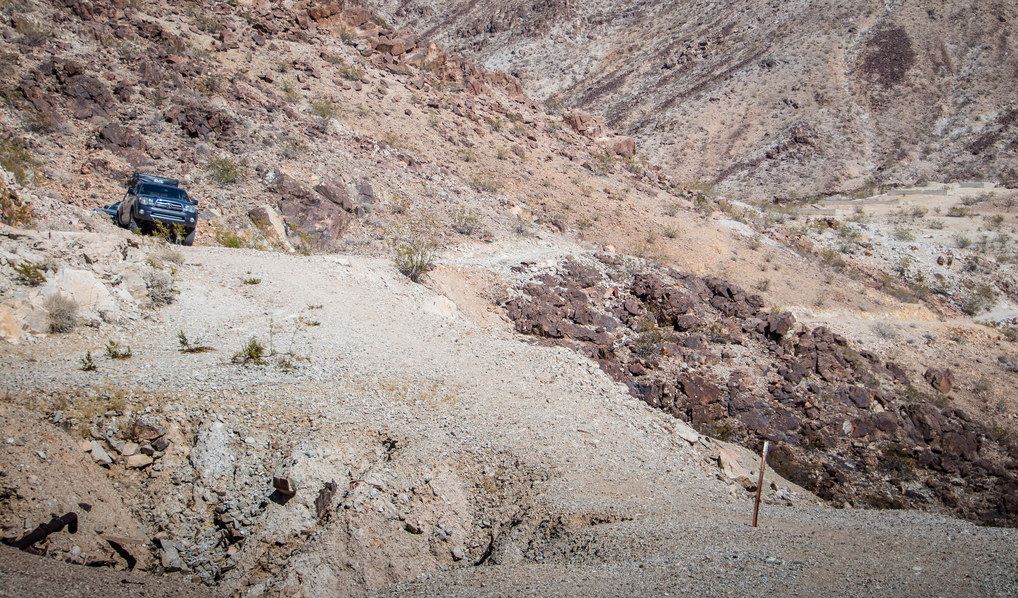
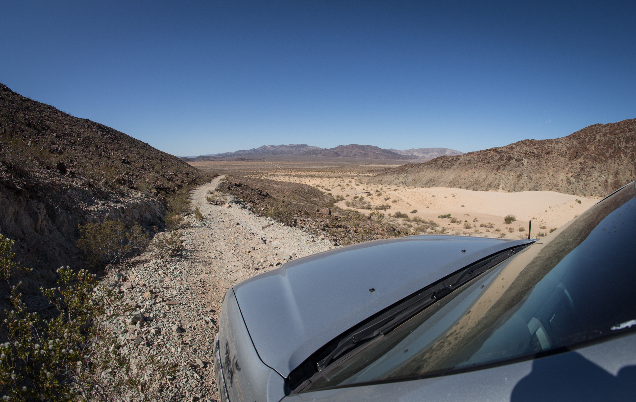
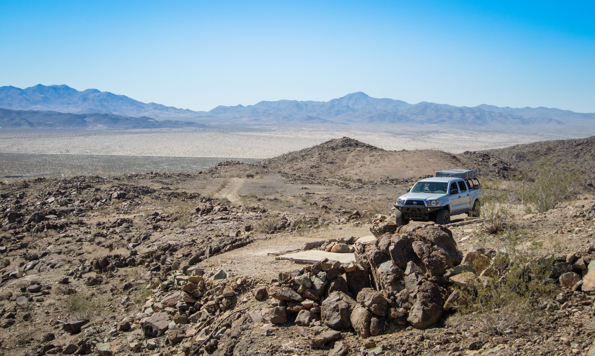
Next up on our route was the Sunset and Golden Egg Mines. Gold Crown Road leading up to these operations gets rougher the further you get from the smooth valley floor.


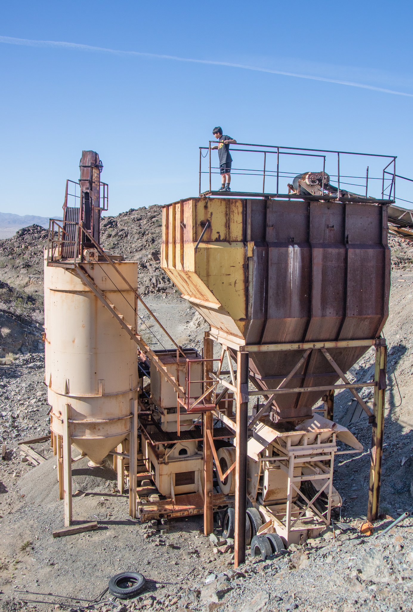
Past and current comparison picture. This was taken nearly a year ago at the same place.


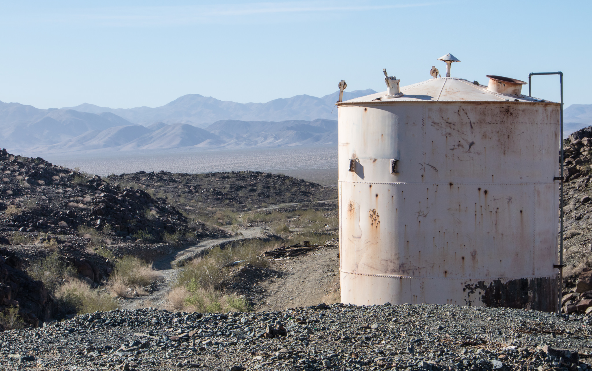
View of Pinto Basin from the Gold Rose mine.
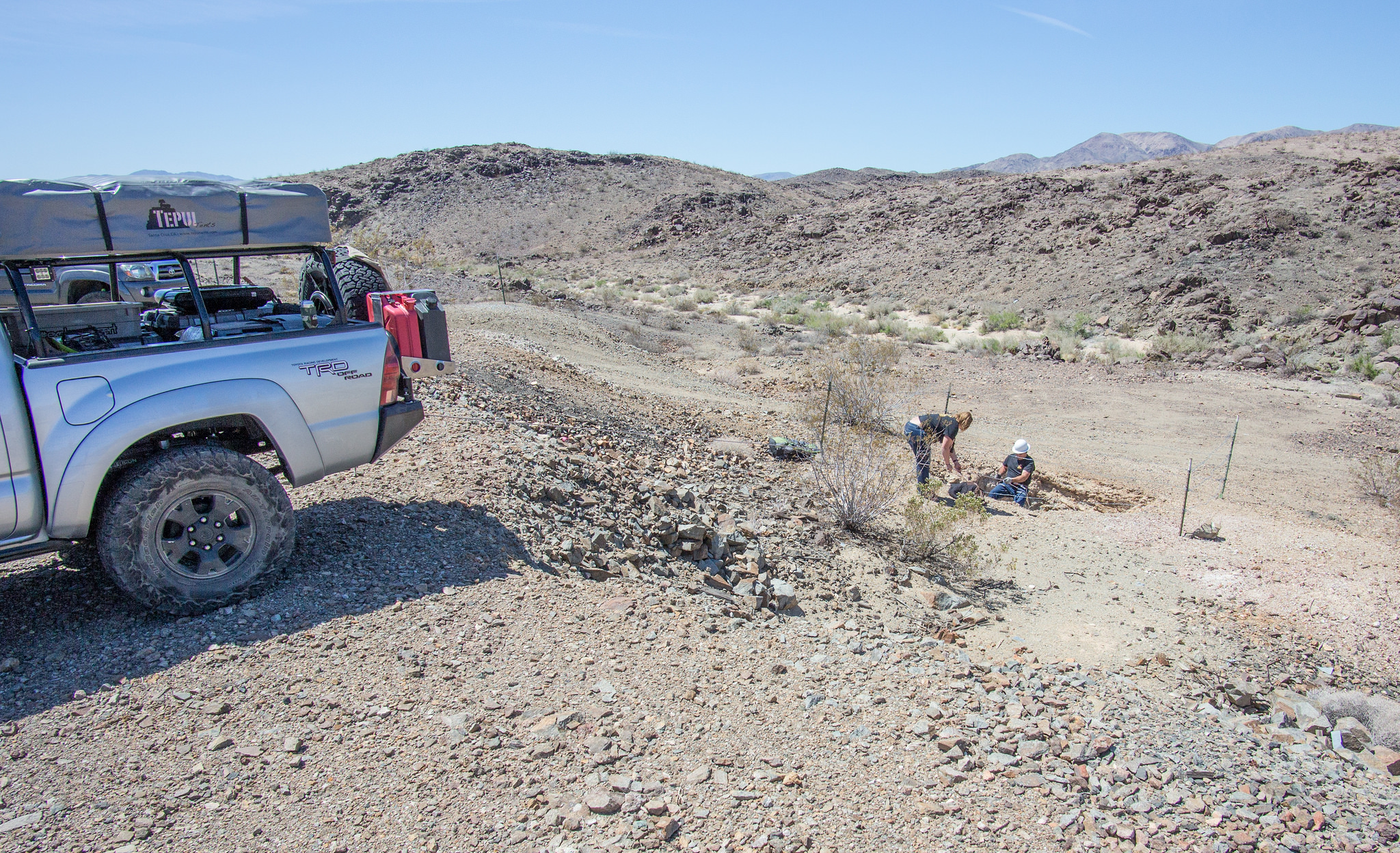
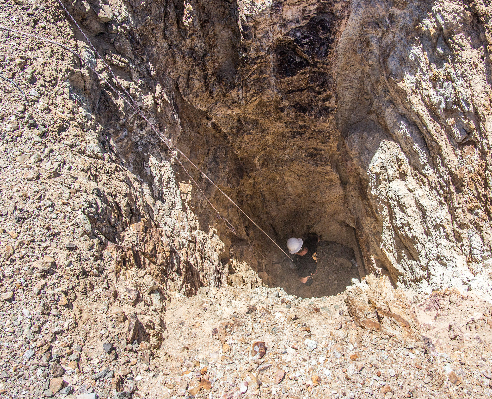
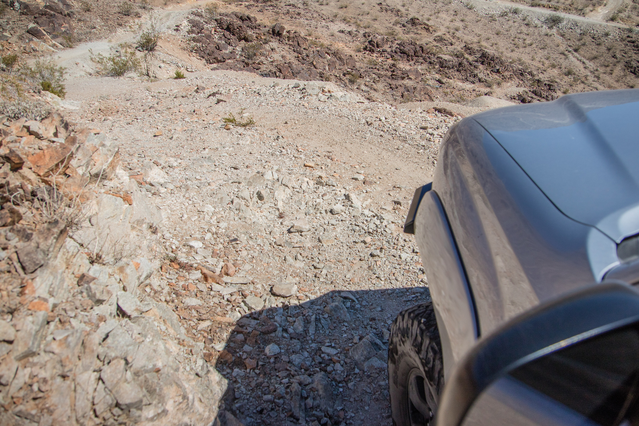
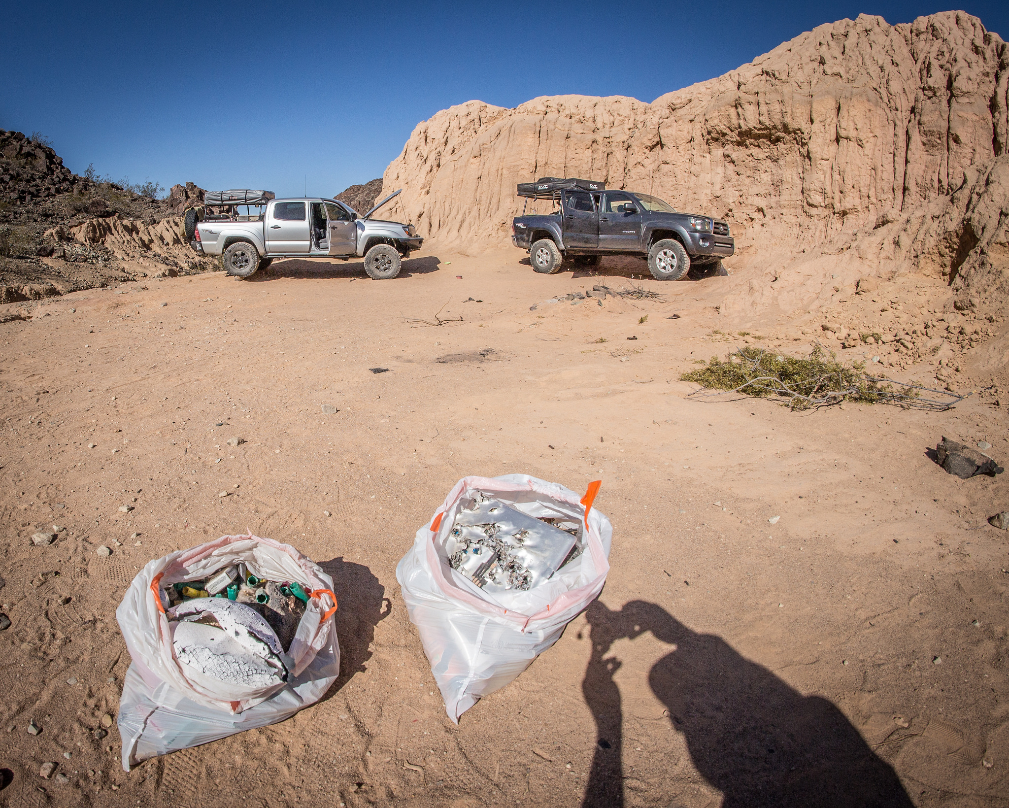
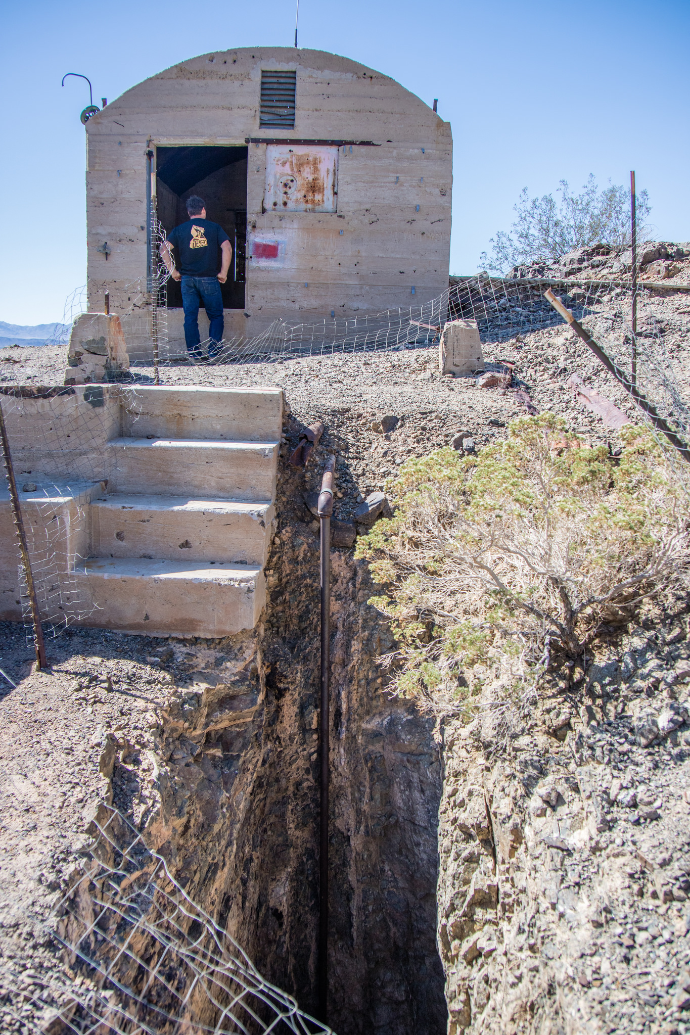
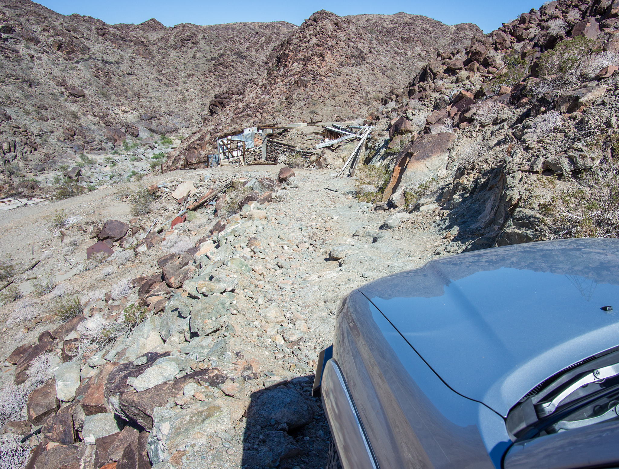
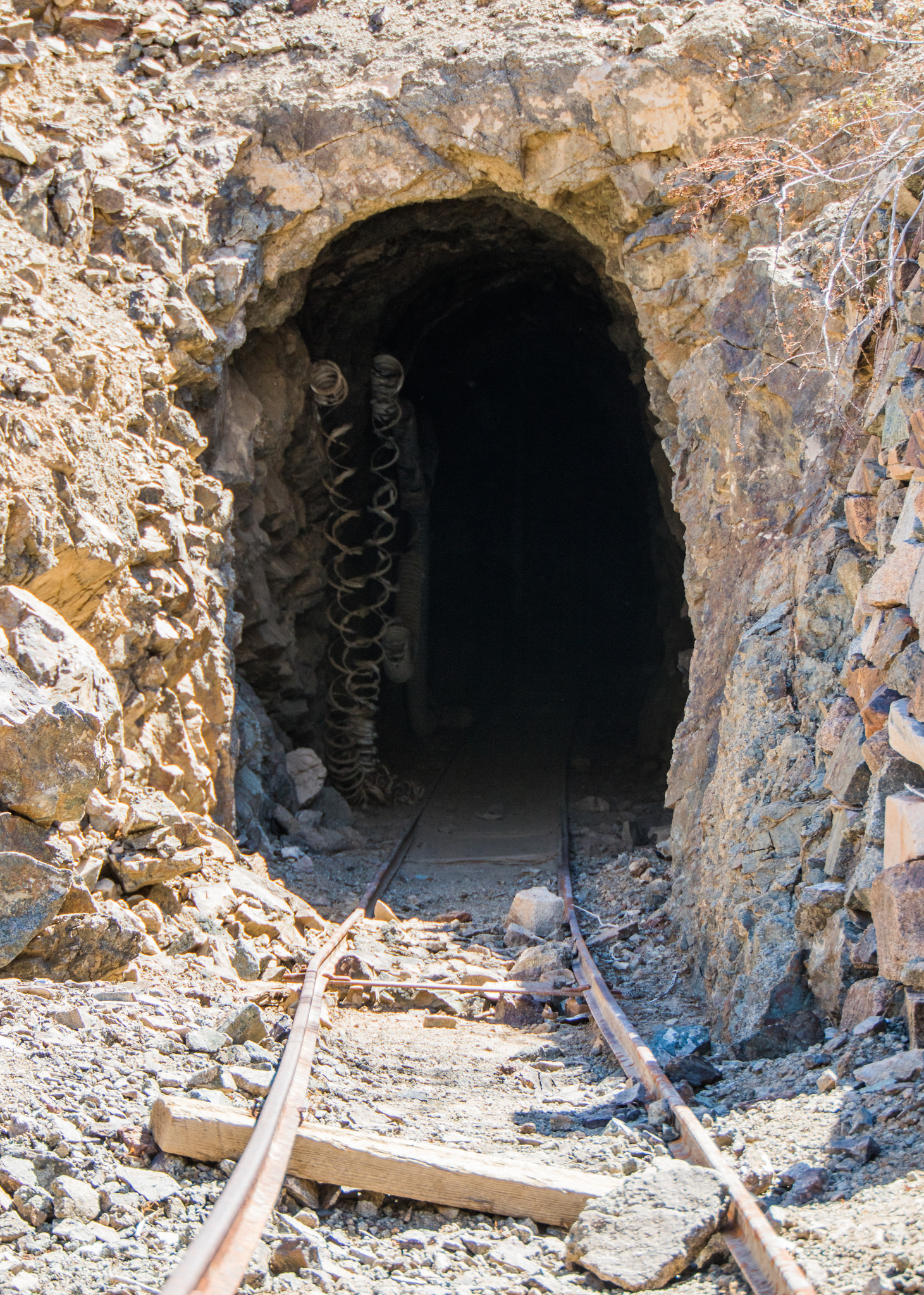
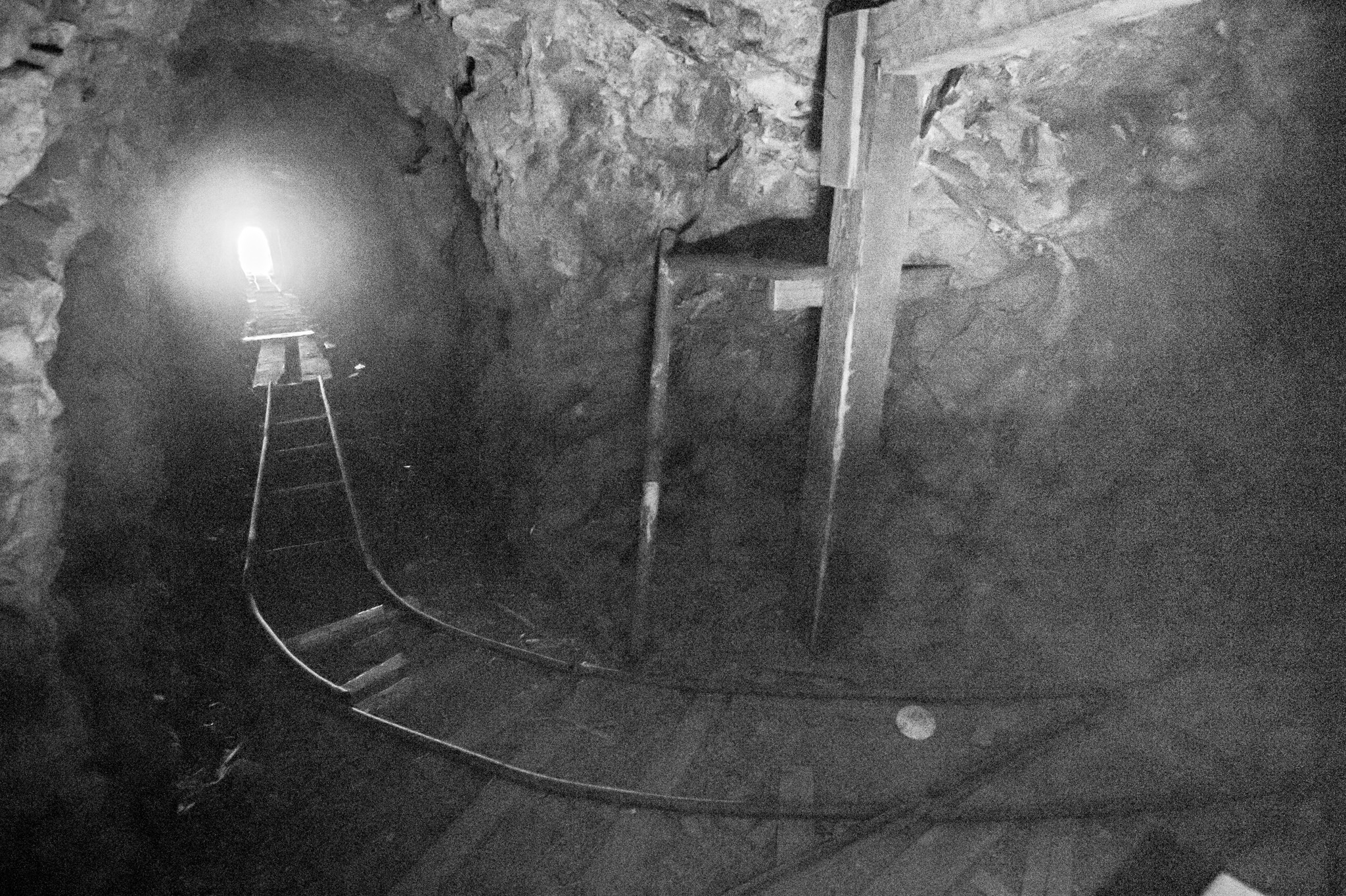
The trail leading down to the Golden Egg mine gets increasingly more narrow the further you get down the canyon but poses no issues for vehicles. Once at the bottom there is plenty of room to turn around. We had a great time searching around the hillside as there are a few audits and a tremendous amount of relics to check out.


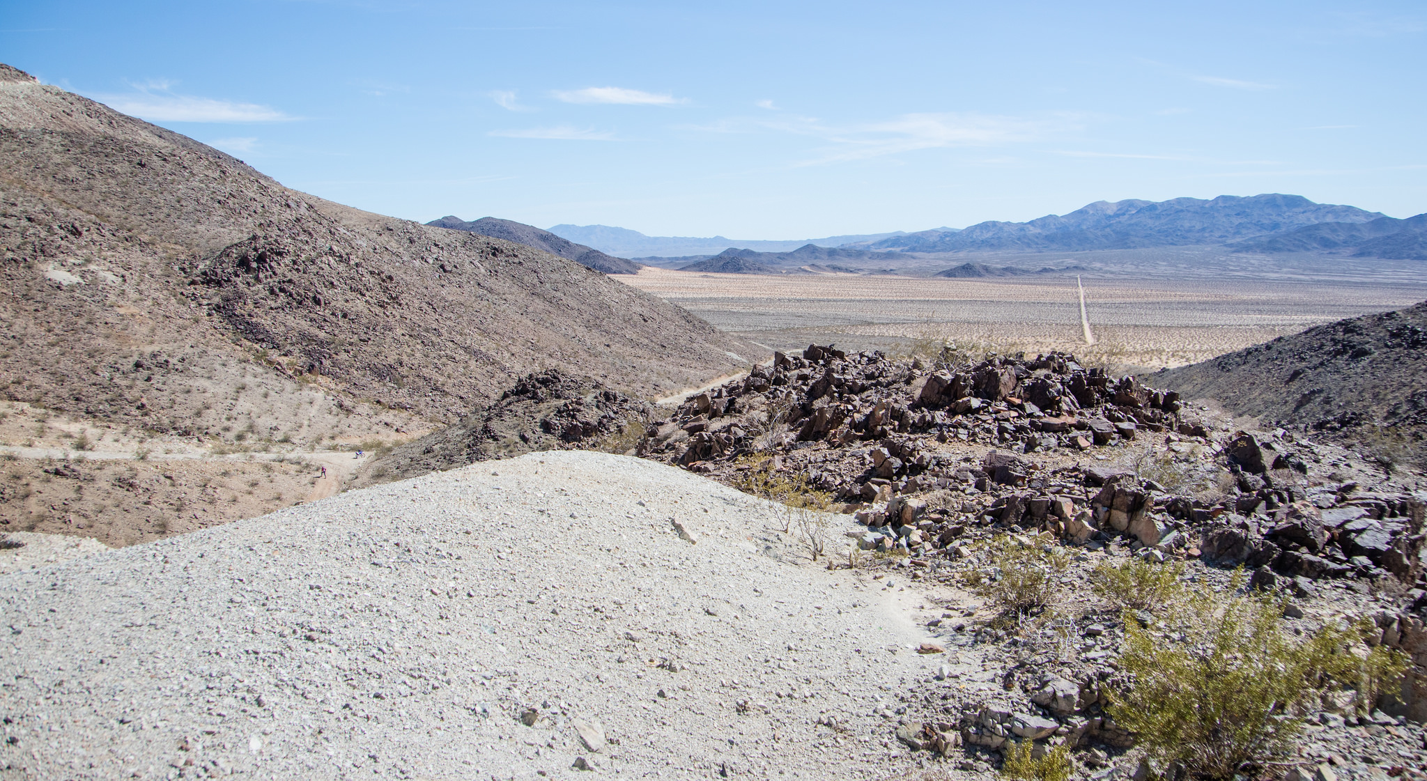
Trail to the left leads to the Mission mine. To the right in the canyon is the Golden Egg mine. Eagle Mountain is off in the distance.


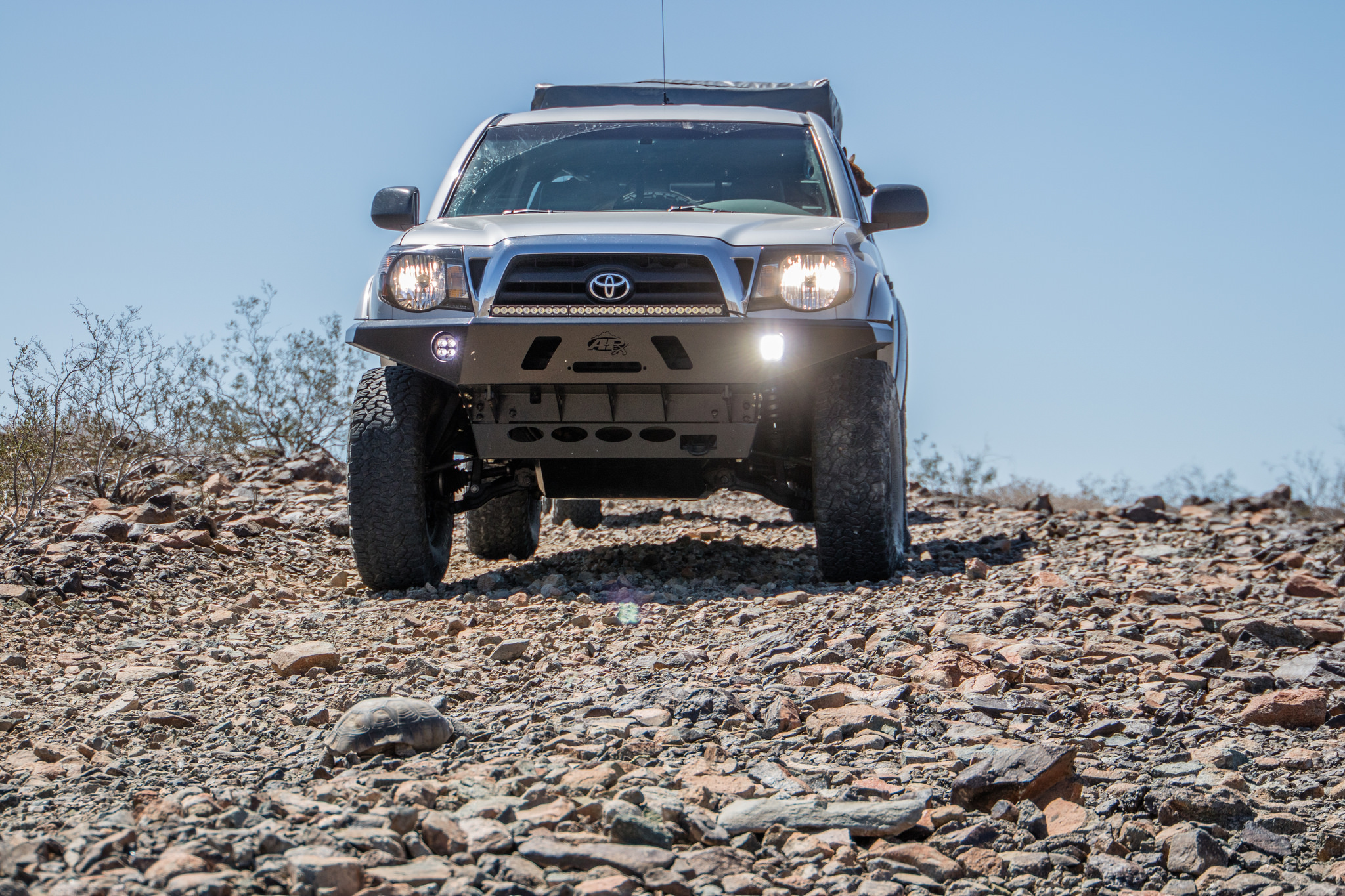
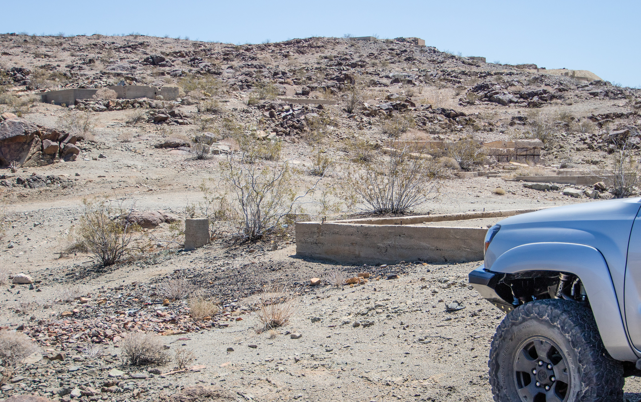
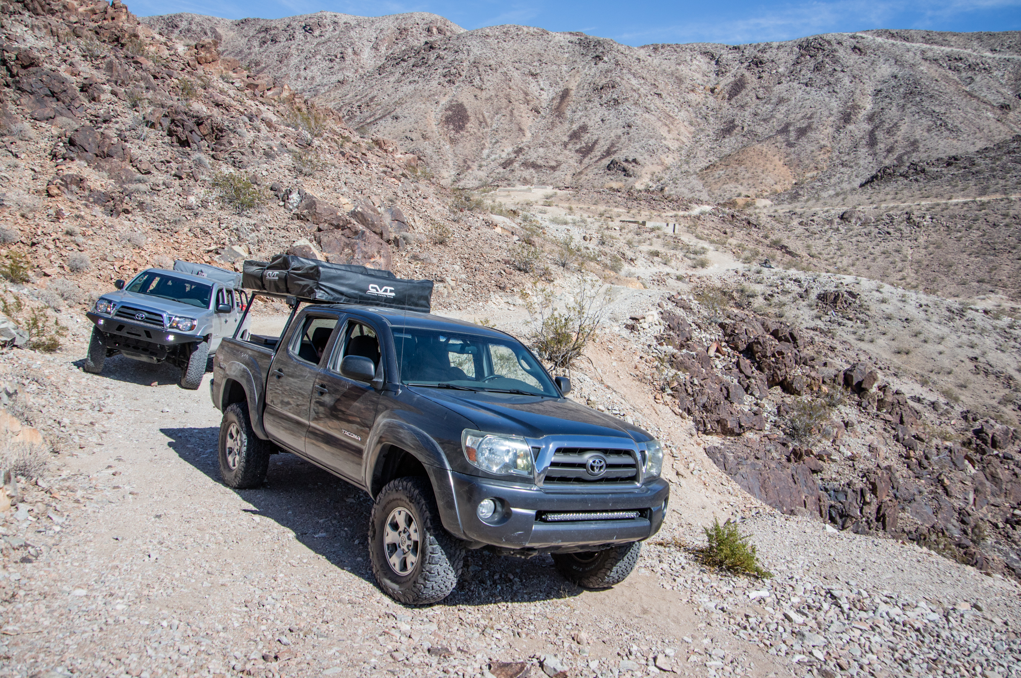
Once at the top of the Pinto Mountains we decided to check out the Gold Crown mine. The amount of concrete foundations and the 4 vertical shafts visible from satellite imagery makes it apparent this was a major player in the area. Everything was going smoothly on the trip there until we ran into a road block...
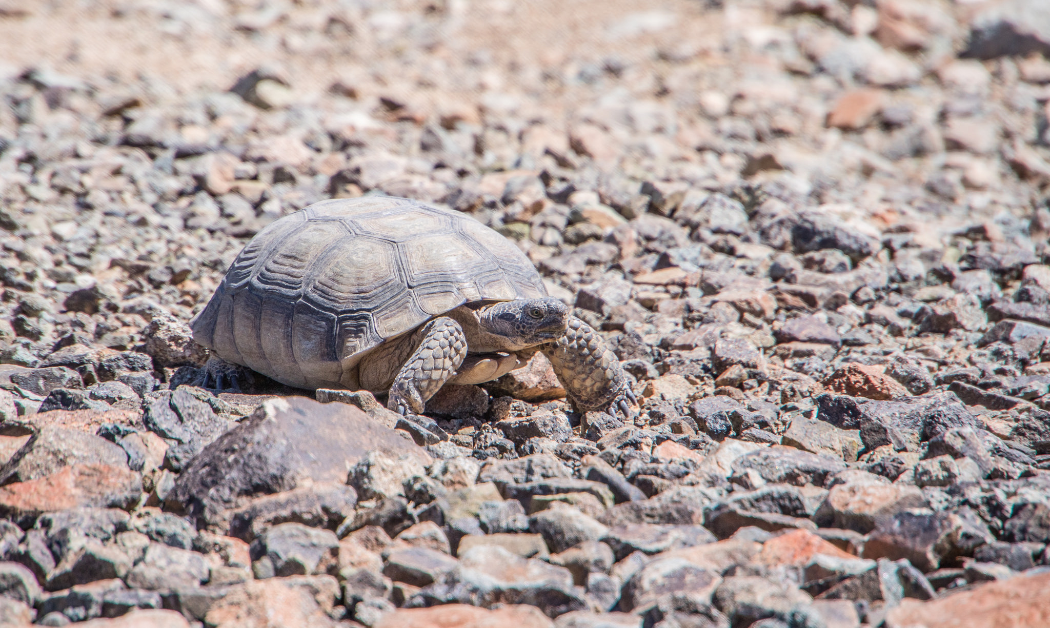
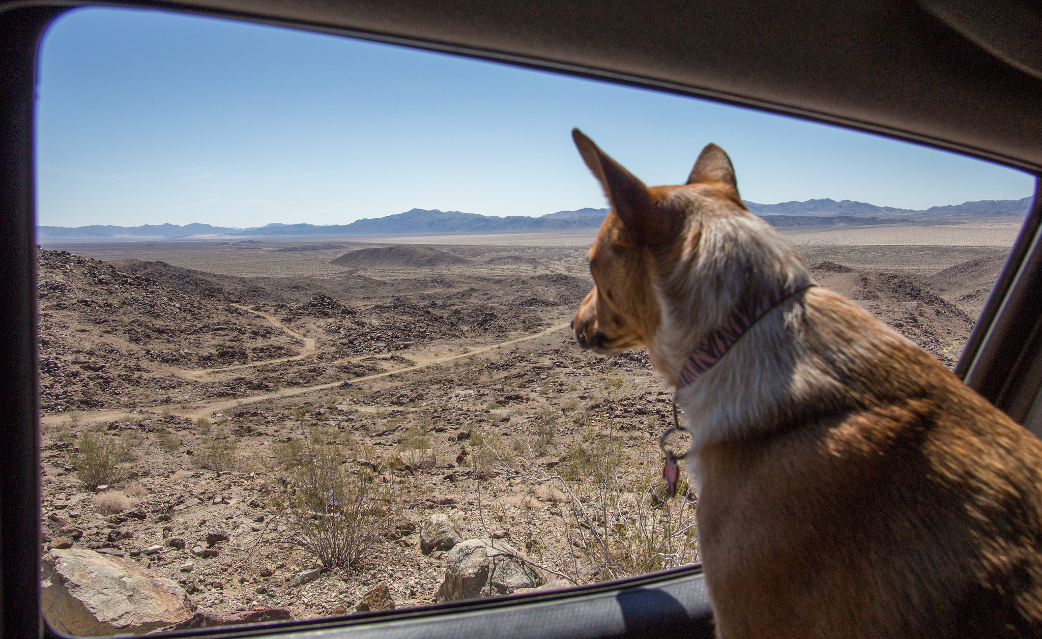
This is the 5th desert tortoise we've come across, two of them being in the Old Dale area. We kept out distance and checked em' out from afar. Amazing how they survive in such a unforgiving environment.


Sandwiched in-between the vast Joshua Tree National Park, Old Dale hosts a diverse network of trails - everything from smooth sandy washes to tough and unforgiving rock filled shelf roads. But what really makes the area a great place to explore is the amount of abandoned and forgotten mining history. At one point this portion of the desert was bustling with activity and traffic. Claims were filed, cabins built, mills constructed, roads graded, wells dug and families relocated to support prospectors trying to strike it rich in the ore filled mountains.
I haven't been able to find much in the form of documentation or pictures from the era other then the great articles put together over at Death Valley Jim, his site has been a fantastic resource. Suppose the lack of information makes it that much more of a mystery and a great destination for a local escape from the daily grind.
After work on Friday, I met up with my cousins who were eager to try out their freshly built Tacoma and within an hour we were airing down tires and heading for our camp spot. Surprisingly the two spots I had in mind were already occupied by other campers marking the first time I've come across other people in Old Dale. We had to backtrack a little ways and found something suitable for the night. In the morning we made our first stop at the Mission mine. By far the most modern and recently worked in the area. A massive steel head-frame for a elevator and ore processing equipment still stand.
Next up on our route was the Sunset and Golden Egg Mines. Gold Crown Road leading up to these operations gets rougher the further you get from the smooth valley floor.

Past and current comparison picture. This was taken nearly a year ago at the same place.
View of Pinto Basin from the Gold Rose mine.
The trail leading down to the Golden Egg mine gets increasingly more narrow the further you get down the canyon but poses no issues for vehicles. Once at the bottom there is plenty of room to turn around. We had a great time searching around the hillside as there are a few audits and a tremendous amount of relics to check out.

Trail to the left leads to the Mission mine. To the right in the canyon is the Golden Egg mine. Eagle Mountain is off in the distance.
Once at the top of the Pinto Mountains we decided to check out the Gold Crown mine. The amount of concrete foundations and the 4 vertical shafts visible from satellite imagery makes it apparent this was a major player in the area. Everything was going smoothly on the trip there until we ran into a road block...
This is the 5th desert tortoise we've come across, two of them being in the Old Dale area. We kept out distance and checked em' out from afar. Amazing how they survive in such a unforgiving environment.