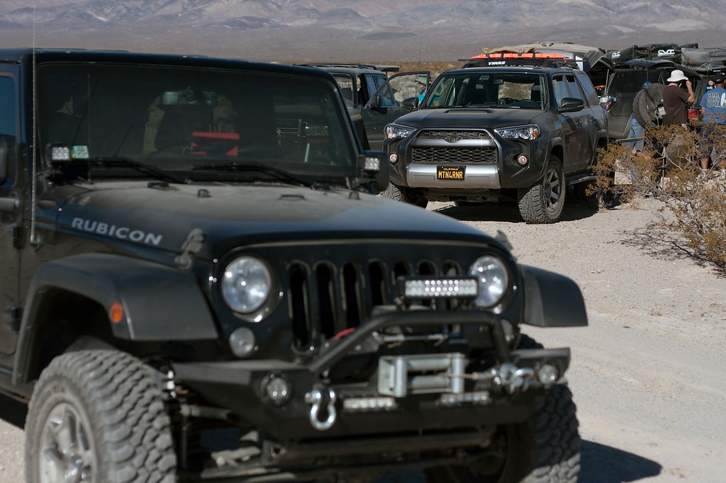
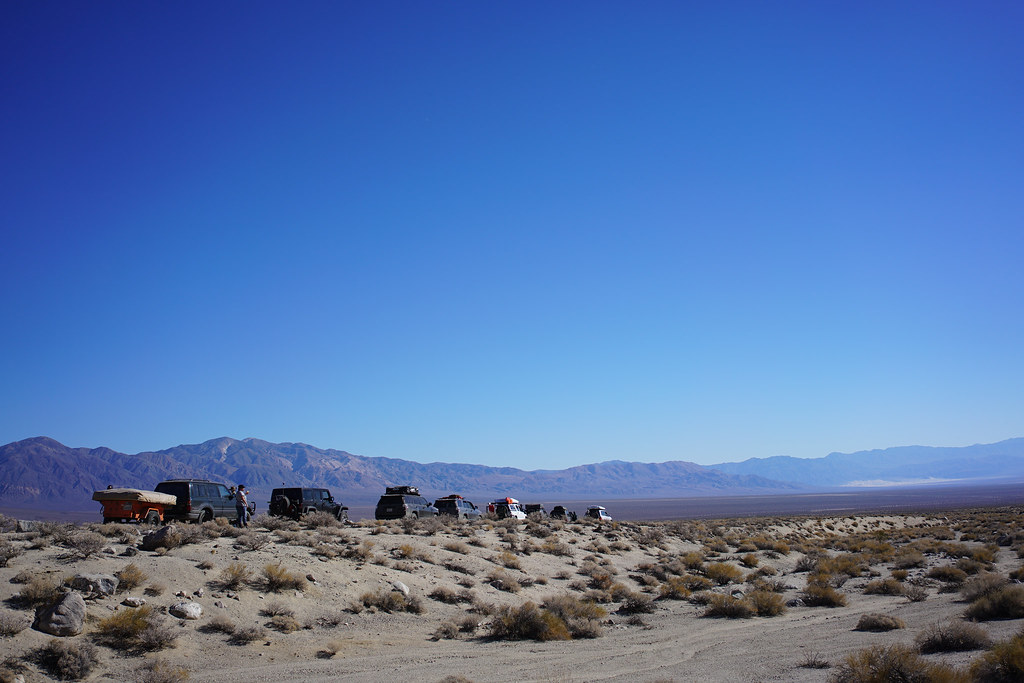
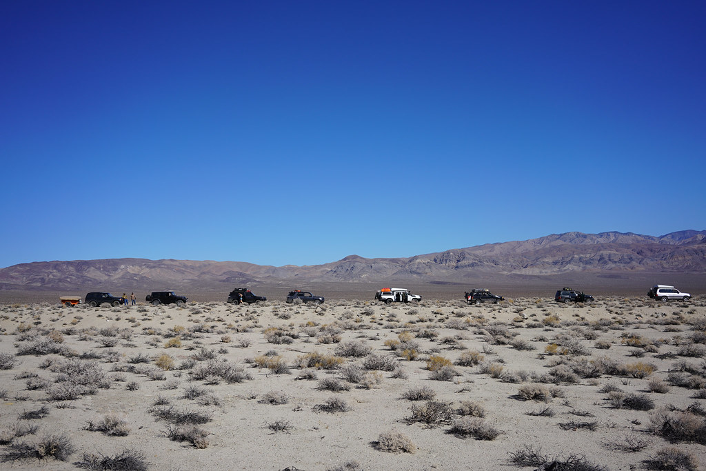
Adventuring the MTN4RNR

MTN4RNR

Adventurer
DSC_0229_zps61fxuzhg.jpg

PC: GHOSTFJ

Intro:
I have my main thread in the "Expedition Vehicles" section of this forum and I have been posting my travels, adventures and photos there so far. I will be posting my adventures and trip reports here moving forward, because I was technically in the wrong section before!

Enjoy what you find here! Get out and explore!

:campfire:

Trip Reports:
- West Camino Cielo Road, Santa Barbara, CA - November 2015
- Crawl to the Top - January 2016
- Big Sur, CA - March 2016
- Hollister Hills SVRA - April 2016
- Big Sur, CA - May 2016
- Stanislaus NF, Highway 4 to 88 Adventure - May 2016
- Rattlesnake Road exploring - June 2016
- Ellis Peak/Tahoe National Forest - June 2016
- Lola Montez/Fordyce Creek - July 2016
- Downieville to Sloat - July 2016
- Slick Rock / Corral Hollow - August 2016
- Bald Mountain OHV - August 2016
- Labor Day Adventures in the Sierras - September 2016
- Niagra Rim/Eagle Peak - October 2016
- Death Valley - November 2016
- 2016 Christmas Tree Hunt - Plumas National Forest - December 2016
- New Year in the Mountains - January 2017
- Big Sur Overnighter - January 2017
- Death Valley - March 2017
- Snow melts and Sierra campsites - May 2017
 
Last edited:

MTN4RNR

Adventurer
Niagra Rim/Eagle Peak - October 2016 (Part 1 of 2)

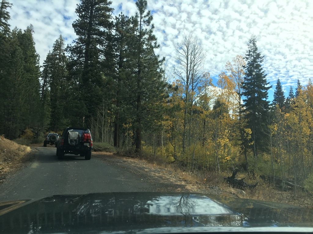
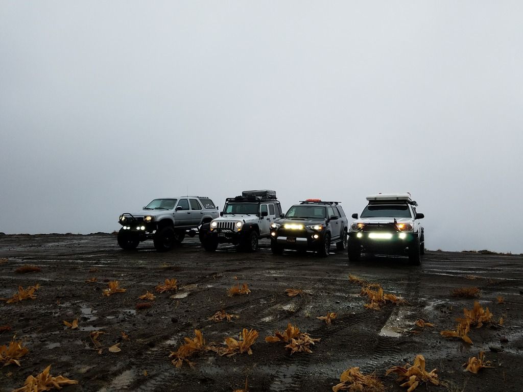
Summer is coming to a close in the Sierras, and fall has begun. We set out on a trip to the Niagra OHV area in Stanislaus National Forest, off of Highway 108. V_man lead a group through this trail last year around the same time, and it rained the whole trip. Here, a year later, and the forecast hasn't changed. Rain was predicted Friday, with a lull on Saturday, and then rain late in the afternoon Saturday lasting through Sunday. Snow was predicted at 7.5k feet, and a high wind warning had been issued in the area. Sounds like the perfect weather for an adventure. It was perfect trip for me because I had not been to that area previously, nor had I camped in adverse weather like that. I now know what I need and don't need for that sort of weather, and thankfully the need list isn't that big. On with the trip report…

Driver/Rig:
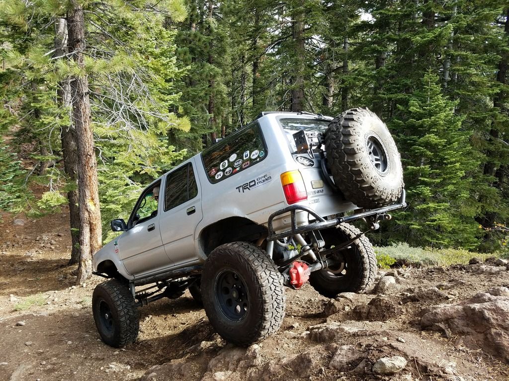
V_man [Vincent] - 1990 Toyota 4Runner
jAndyMendo [Andy & Taco] - 2014 Toyota Tacoma TRDOR (Not to be confused with Hodor)
MTN4RNR [Max] - 2016 Toyota 4Runner Trail
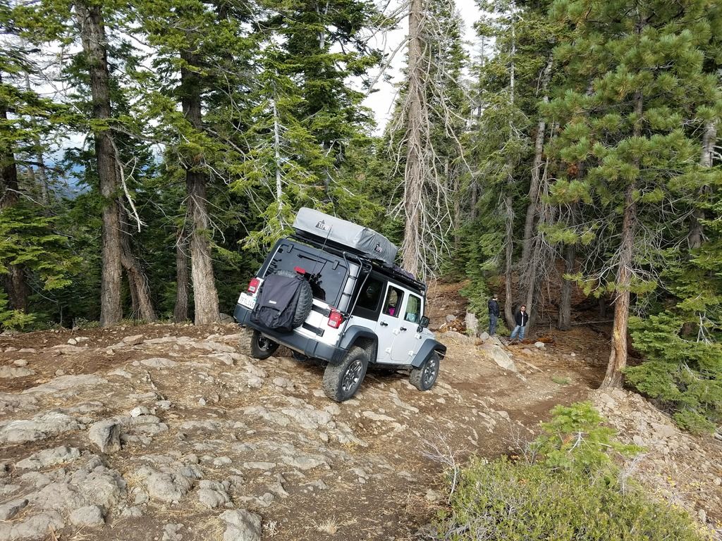
NatersXJ6 [Nate & Charlotte] - 2014 Jeep JKUR
GHOSTFJ [Cha] - 1997 Lexus LX450
Samiman [Nick] - 2001 Toyota Tundra

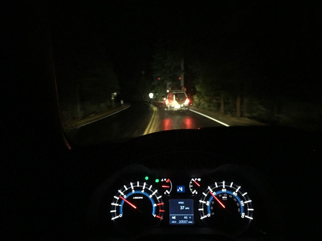
Vincent, Andy and I left the Bay Area Friday night, wanting to get up the hill before/if the road was going to close because of snow. Also, because our good weather window was for Saturday morning, so the earlier we started, the better off we'd be. This meant rolling into camp at around 12:30am, where Nate and Charlotte had already made it there and had packed in for the night. There was some stargazing, as the clouds were rushing by providing windows to the stars and full moon behind. We all had a beer for accomplishing the drive, and hit the sack.
IMG_8900_zps08xcdrpi.jpg


Morning in camp was spectacular. Clear skies with the occasional passing cloud meant that we could enjoy some dry coffee and breakfast before going to meet with the others at the trailhead at 10am.
1D4ECEA0-E8DF-42CF-A7C8-CD582016E68C_zps1u1qppux.jpg

IMG_8905_zpsrgkza8bg.jpg


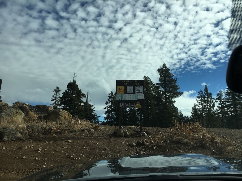
Shortly after meeting-up and airing down, we hit the Niagra Rim 4x4 Trail.
IMG_8910_zpsbvs7syvl.jpg

IMG_8912_zpsfndc02kn.jpg


The first obstacle was a decent with a rocky surface, and to top it off, you couldn't see anything over the hood. Spotters and a quick pre-run look were helpful here. Vincent, naturally, just went straight down, because 37's.
20161015_103550_zpsfjmm2jei.jpg

20161015_104525_zpsxz2r9ice.jpg

PC: v_man

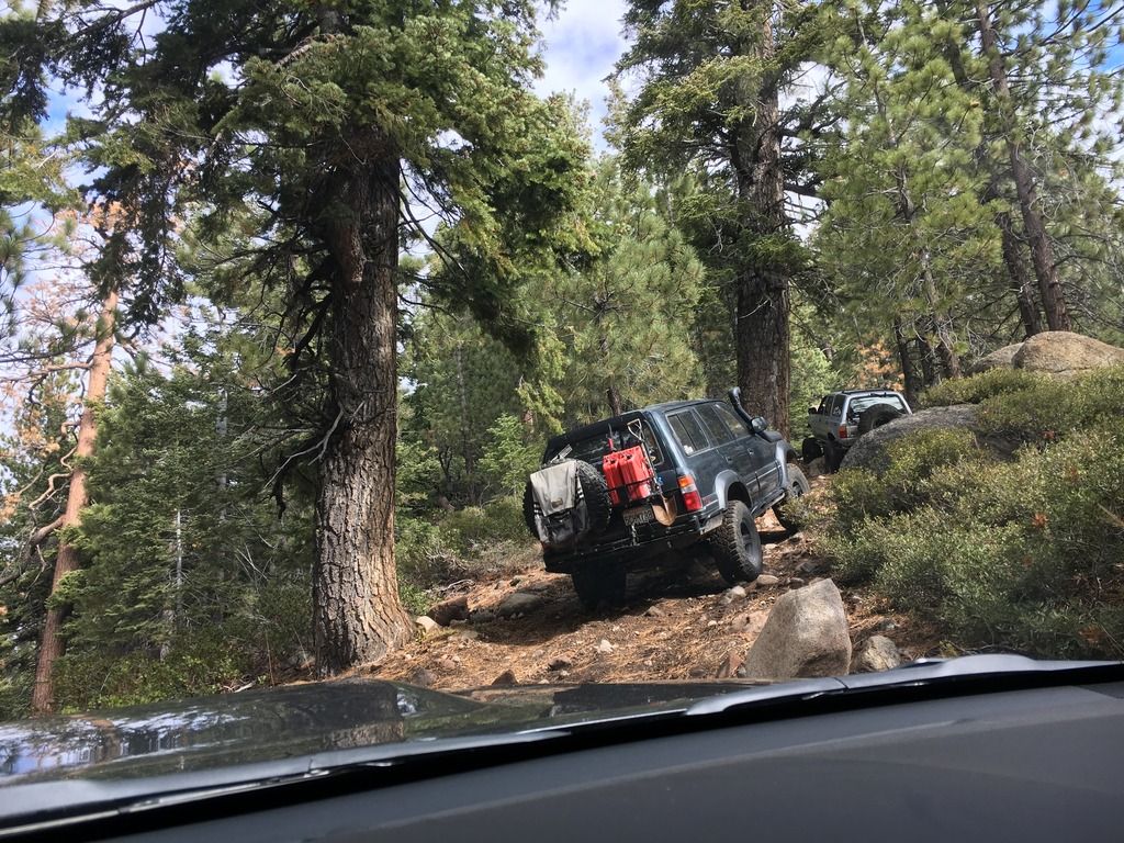
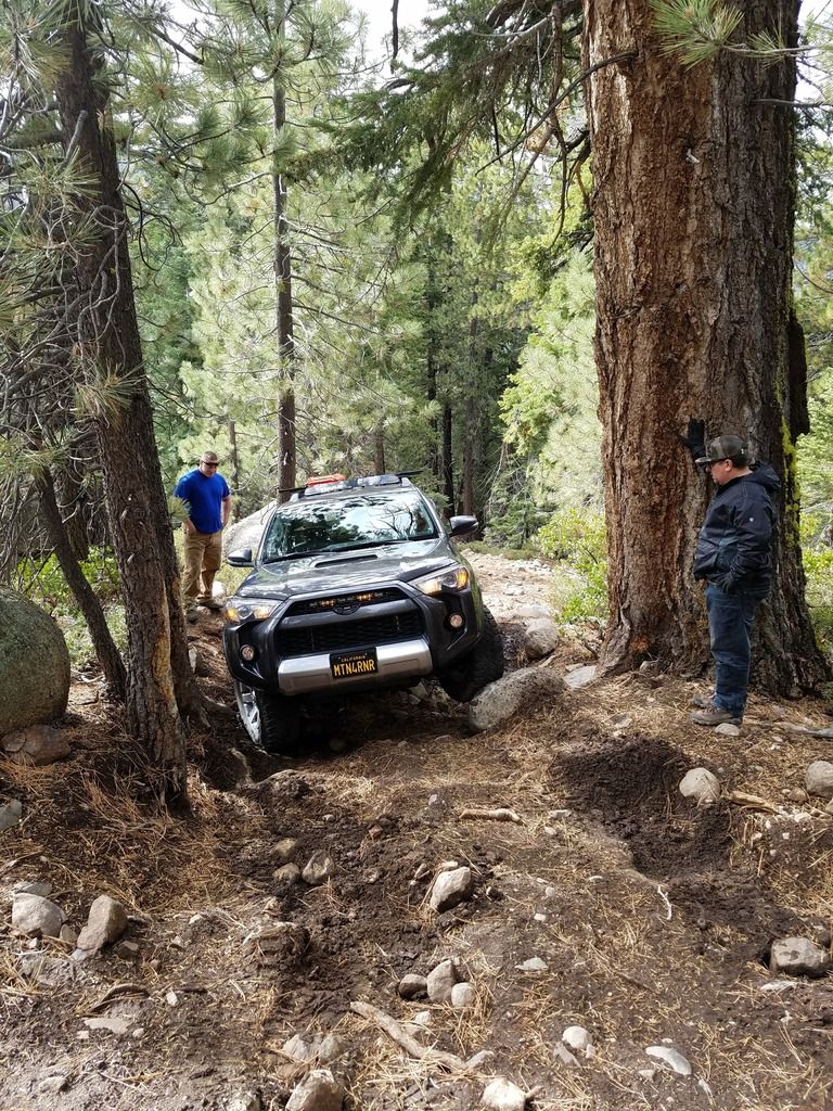
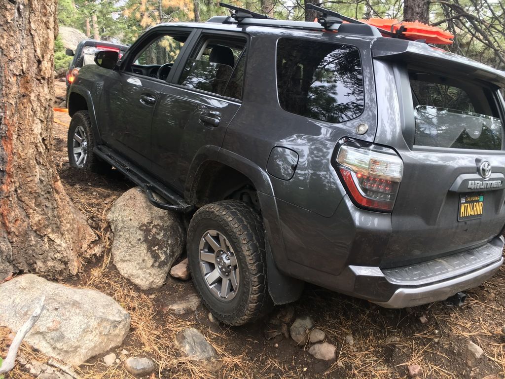
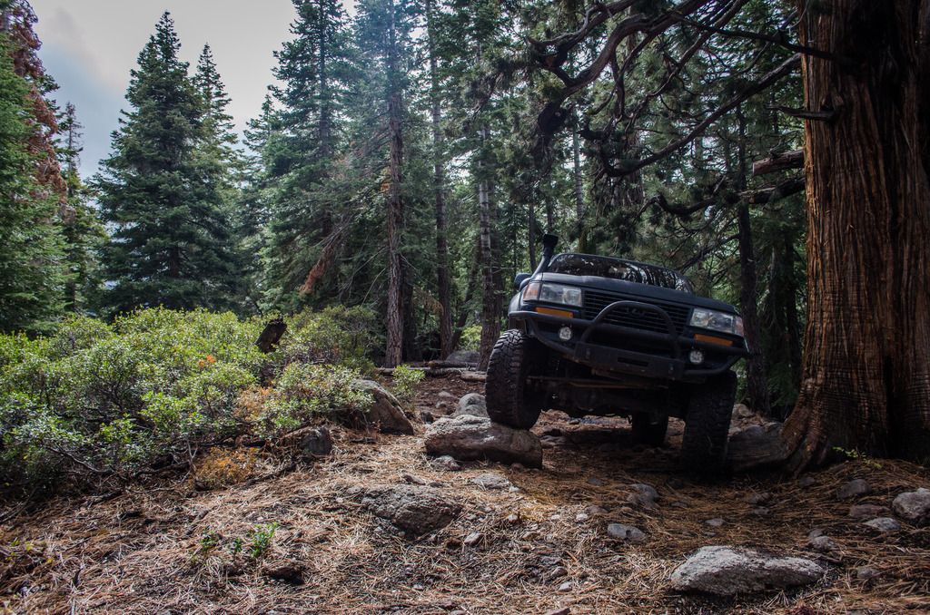
Then came a challenging uphill “No way out hill”, with two options. Left took you to a tight squeeze between a boulder, and a tree that had enough scars to tell me it was something to watch out for. Right was the harder route with a solid rock shelf, and a few off camber boulders to mix things up.

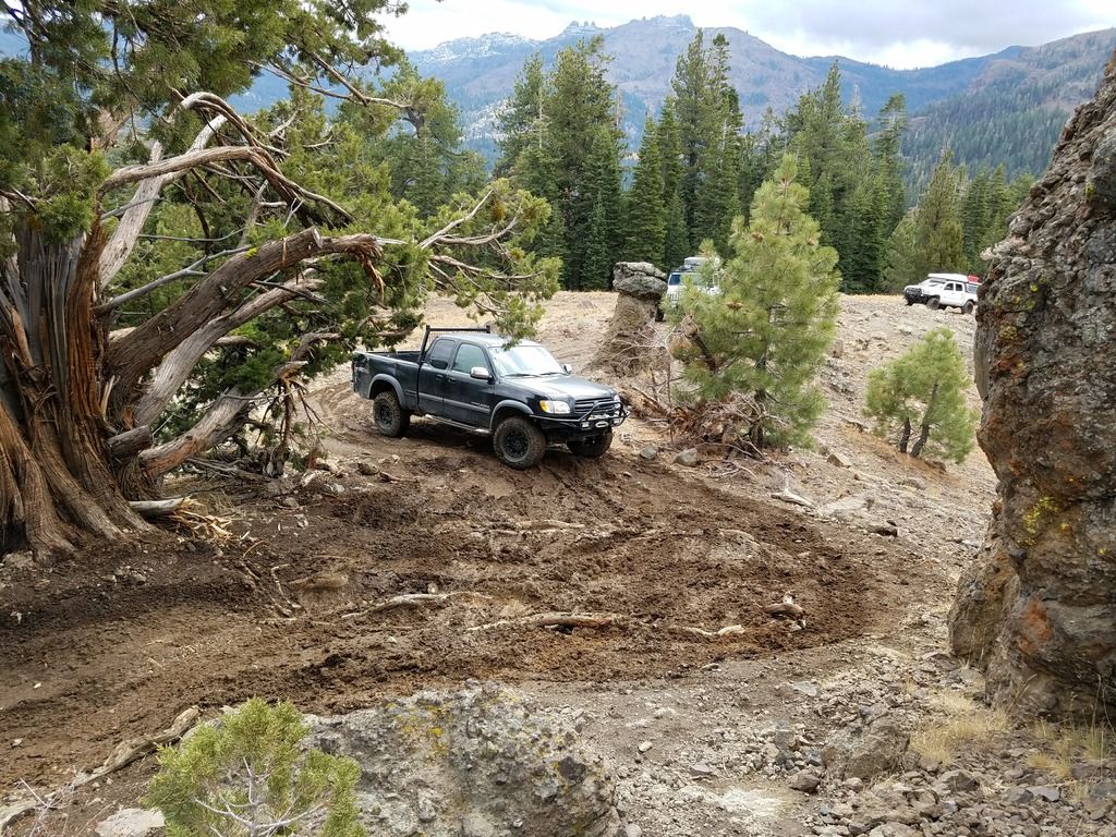
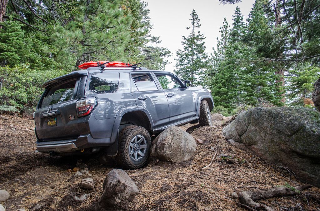
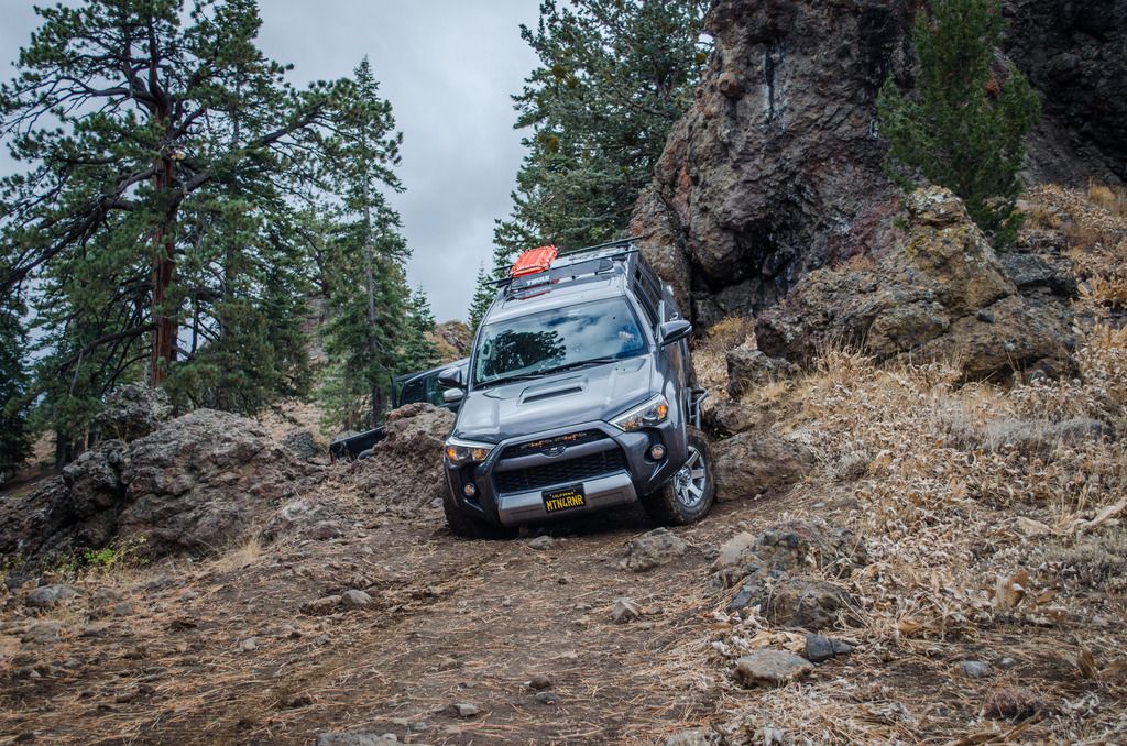
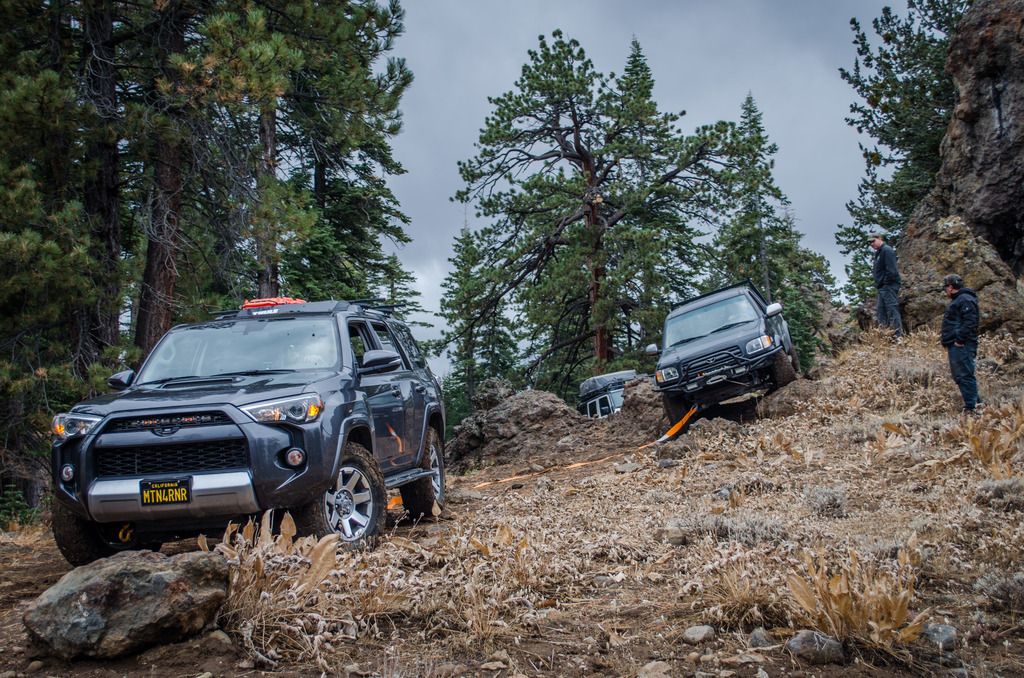
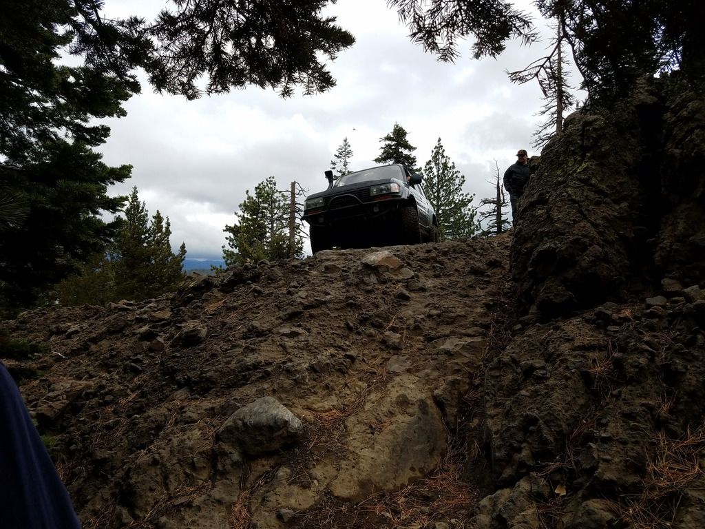
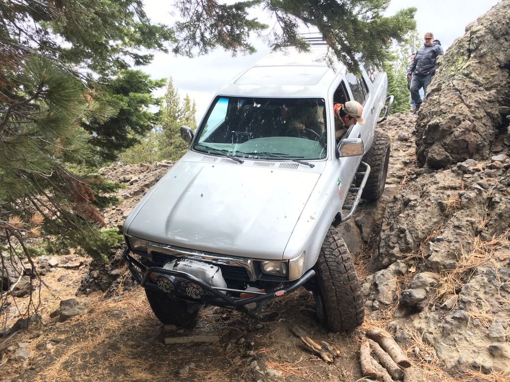
Lets start with the left. I followed Vincent and Cha to the left, and watched them squeeze through the tight section; Vincent with large tires just rolled over the left most part of the boulder, Cha with less large but still large tires took a line closer to the tree and was able to push through once he locked his front diff. For me, I knew I would need to get up on the rock, but more importantly I would need to avoid the tree. So I went higher on the rock, and onto the slider. Once the rock had slid about half way down the slider on the bottom side I lost traction and momentum, but I expected this being on stock suspension, with wet conditions. Could I have gone lower on the rock? Yes. But hitting a tree wasn't an option, and I had a perfectly good strap and a LX450 in front of me to scoot me over the hump. Being stock, these are some of the considerations that I need to take, and as I upgrade things, my capabilities will be upgraded as well. For today, I still made it; without a scratch. Nate with his JK made it through the squeeze without incident, but the tree found it's way into the rear bed panel of Nick's Tundra. Full size rigs make for a tight squeeze. But, with a bit of work, it'll buff out.
DSC_0171_zpsz5qsusw3.jpg

PC: GHOSTFJ
IMG_8914_zpse9odsdqh.jpg

PC: v_man
20161015_105049_zpse20ivpdu.jpg

PC: v_man
IMG_8916_zpsuuk0x1mg.jpg

DSC_0176_zpsygfitoqv.jpg

PC: GHOSTFJ
DSC_0178_zpsgetbqqkb.jpg

PC: GHOSTFJ

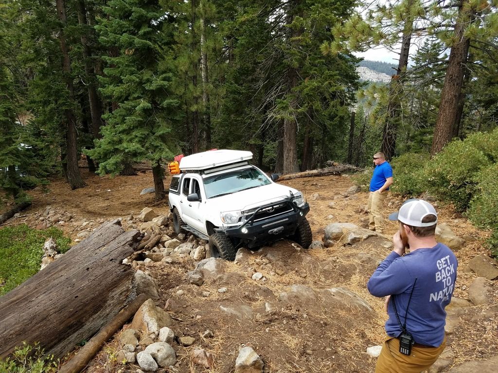
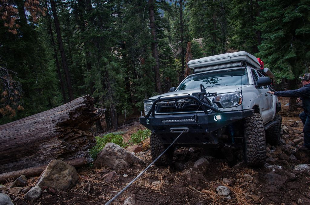
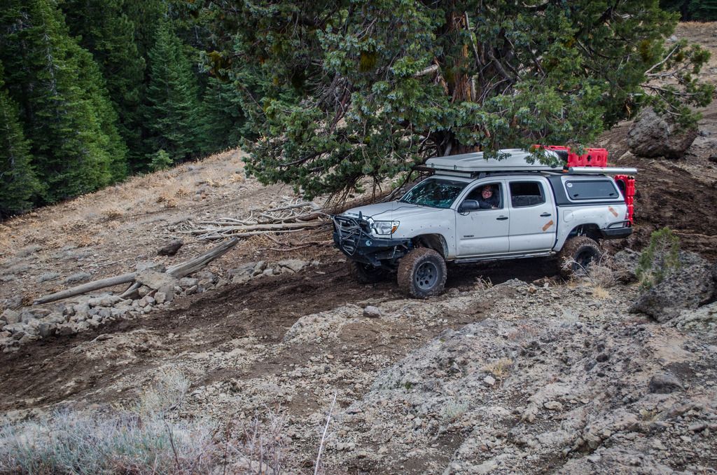
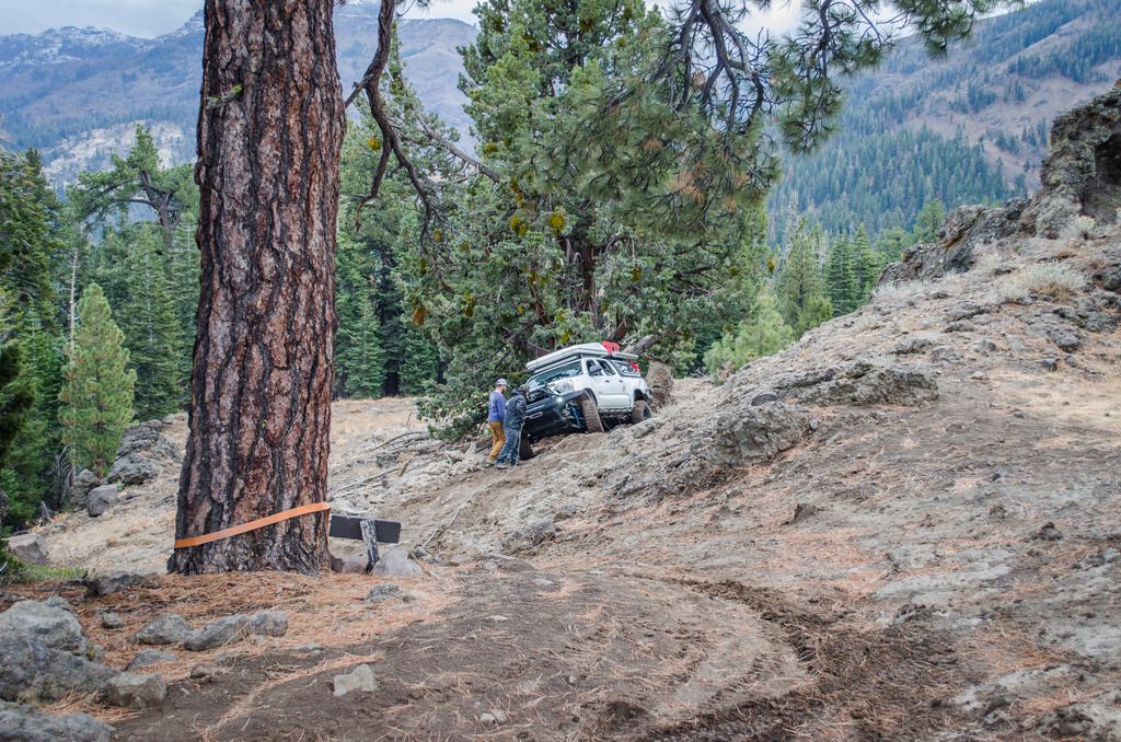
Now, the right line. Andy took the right line because his Tacoma has been built to handle this type of a line, and he likes to smell rock on metal. Rock stacking got his front tires over the shelf, but dragging the rear weight proved to be too much, and because he was slowly sliding downhill attempting to hop over, we elected to winch over before we got into a sideways situation. A quick tug, and he was over the top and on his way. This would be a fun line later on in the 4Runner when I have equipped it properly.
DSC_0172_zpsjarj1wpa.jpg

PC: GHOSTFJ
20161015_110343_zpsos4ognzj.jpg

PC: v_man
DSC_0180_zpsy2qyzxj3.jpg

PC: GHOSTFJ

We kept on heading through the trail. There were a few well placed boulders and some tight tree squeezes that brought us to the next challenge; wet tree roots, and a slippery downhill section called “hard-break hill”.
DSC_0201_zps9gmlao4t.jpg

PC: GHOSTFJ
DSC_0202-2_zpsjjdjz7sd.jpg

PC: GHOSTFJ
DSC_0185-2_zps458yg1cp.jpg

PC: GHOSTFJ

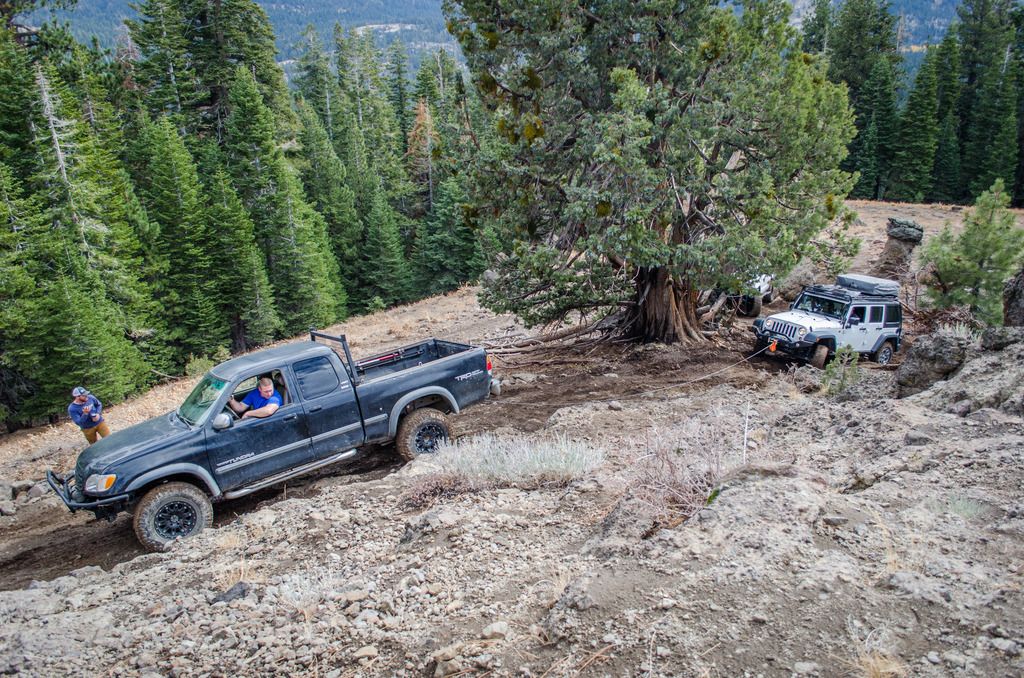
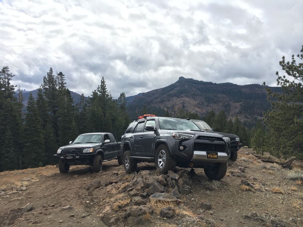
We paused as we approached the rooted section known as “P.H. Rock”, to walk the lines, and then head through one by one. Vincent went first, with some wheel spin, and pulled over the roots. His tall tires helped with the slippery roots, but also started to create some mud that would only get worse as each vehicle passed. Cha had to work a bit harder to get through but made it without much of a problem. I watched both to try to figure out my line. I came through as outside as I could, knowing that I couldn't attack the roots head on because I lacked tire height and the clearance to do so. So I came at an angle. It took me a few times to find where the traction was, but with a little skinny pedal on the right line, I made it over without an issue. Nick was next in the Tundra. He was also able to navigate the roots with some V8 torque and finesse. Nate came through in the Jeep, but a tough line choice and the mud that had built up on the roots made for a winching situation to help him over the taller roots. With Nick's Tundra as the anchor point, and a few spotters to keep an eye on sideways movement, Nate was over and out quickly. Andy has the heaviest rig in our group and with the slick mud and sideways camber, it showed. He worked through the roots with a good line and some throttle. But on the other side of the roots, there was an off-camber section over a rock. With the back end of the Tacoma being as heavy as it was, Andy elected to throw out a winch line, just in case he slipped sideways coming over the rock. Turns out that winch line wasn't needed as he stayed planted the whole time. Better safe than sorry though.
IMG_8922_zpshiqs9x79.jpg

20161015_120842_zpsggr8bmbi.jpg

PC: GHOSTFJ
DSC_0207-2_zpsrnffkwan.jpg

PC: GHOSTFJ
DSC_0209-2_zpsd4ht86yv.jpg

PC: GHOSTFJ
DSC_0214_zpsbh8qancr.jpg

PC: GHOSTFJ

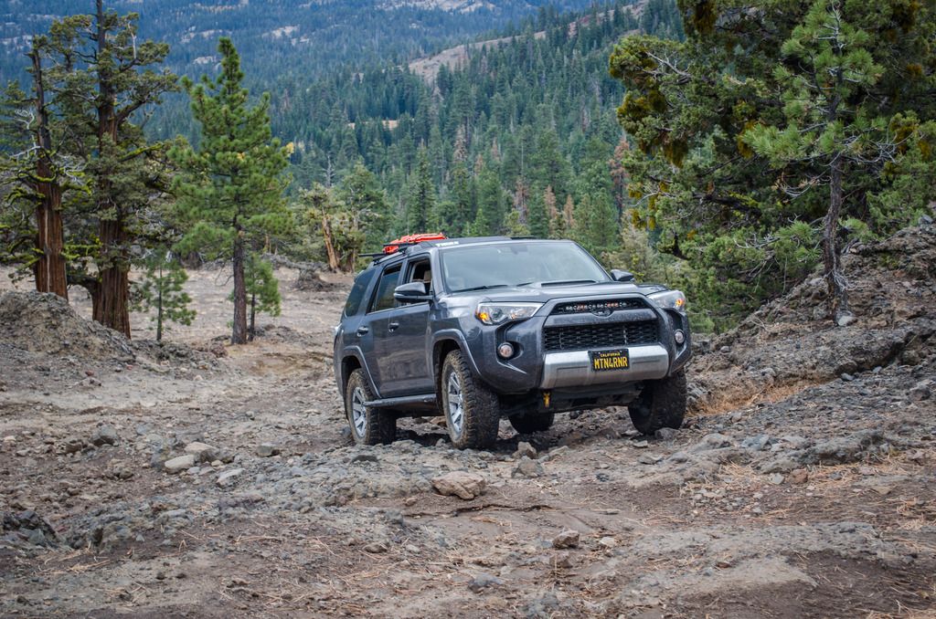
Hard Break Hill was slick. It was a good mix of clay and volcanic sediment, and it was just the right amount of wet from the rains the day before. A rider on a dual sport warned us that it took him 2 runs to get up it, and that we should walk it first. There were a few rocks on the way down that we had to snake around, and a big boulder off to one side at the steepest point that we had to avoid sliding into. But we all were able to navigate down the trail with a bit of slipping and sliding. I elected to use CRAWL control, mostly because it's there and I hadn't had any good reason to use it until that point. I figured on a slippery steep descent, why not try it out. I will say that it worked very well, albeit I did brake myself as I started to slide, but I think that was more out of habit.. As soon as I remembered that I was taking over, I released the brake and let CRAWL do it's thing the rest of the way.
DSC_0205_zpsmr9neqgl.jpg

PC: GHOSTFJ
[video]https://youtu.be/UDQX7A7UZFA[/video]
 
Last edited:

MTN4RNR

Adventurer
Niagra Rim/Eagle Peak - October 2016 (Part 2 of 2)


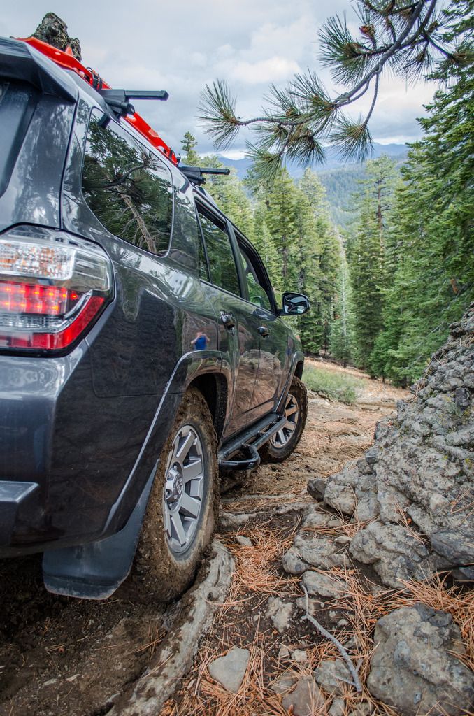
We came to a rock wedge on the trail. I watched how Cha handled it, and the line he took. I had to modify my line to suit the 4Runner. I needed to let the slider do the work as it is the most protected section of the rig, so I swung wide, and let the weight of the 4Runner slide on the inside rock through the feature. These sliders are solid, and I had not had the chance to use them as much as I did on this trip. I am extremely happy that I spent the money to do sliders properly. Unfortunately, I led Nate on a line that put him in a bit of a bind. Spotter’s mistake on that one. With a strap and a gentle pull, he was free.
DSC_0218_zpsgjkrqujv.jpg

PC: GHOSTFJ
DSC_0224_zps30tquivi.jpg

PC: GHOSTFJ
“Sidewall Suicide” involved a short, technical climb, and a narrow/steep/off camber/(insert trail description here) descent. I asked Vincent if I can make it through, and he said I better sit this one out. Soon I saw why. It’s great to wheel and spend time with people that you respect because they’ll honestly encourage you to press your boundaries, and they will equally as honestly tell you when you should save it for another trip. I have been fortunate and thankful to get to know a few guys pretty well, and I trust their judgement immensely. Because of them I have learned a ton, and I cannot wait to keep learning!
20161015_132719_zpswjlualet.jpg

PC: v_man
IMG_8947_zpsy1axsiki.jpg


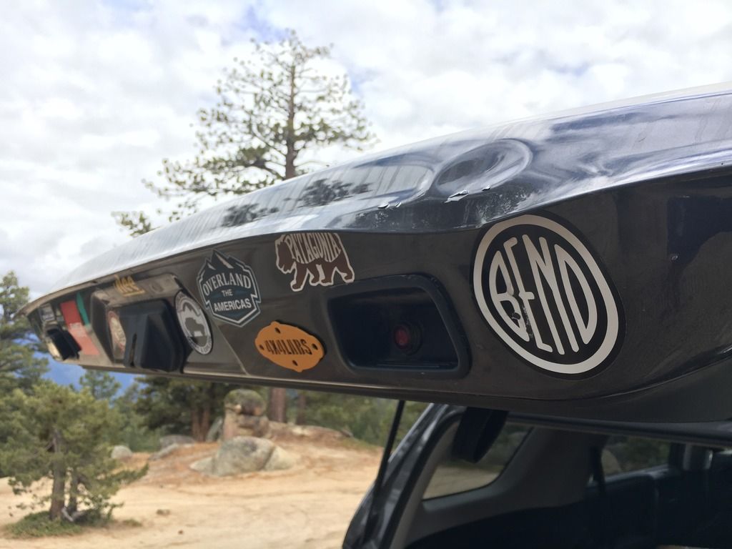
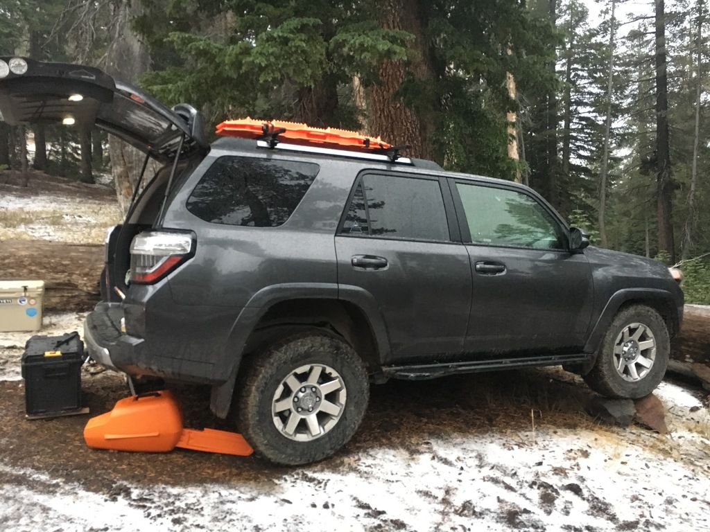
We decided that after the winching, wheeling and rock stacking, it was time for lunch. We headed to the Lion’s Butt for lunch. After a day of wheeling, and not earning a scratch of body damage, my hatch unfortunately met Andy’s Maxtraxx. Fun fact: Maxtraxx are tougher than Toyota sheet metal.
DSC_0232-2_zpsdctsfakw.jpg

PC: GHOSTFJ
DSC_0233-2_zpsztgedcfy.jpg

PC:GHOSTFJ
IMG_8953_zps4sjbh9ou.jpg


We hit double dome rock on the way back to Highway 108 where Cha and Nick aired up and hit the road back home, while Andy/Taco, Vincent, Nate/Charlotte and I hit the trail again this time back down Highway 108 to the Eagle Peak trailhead.
IMG_8954_zpsoikkvfxt.jpg

IMG_8955_zpsd2yr5ube.jpg

20161015_151559_zps1eaewaok.jpg

IMG_8957_zpsz4y79iix.jpg


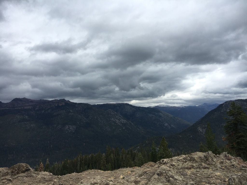
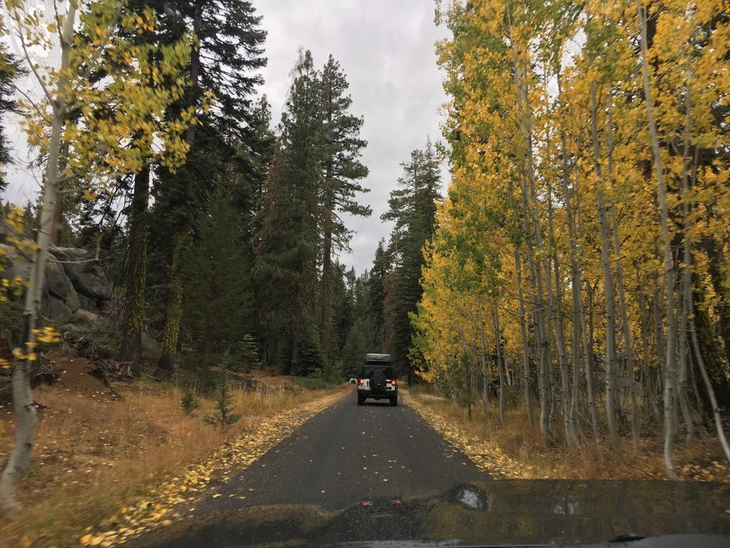
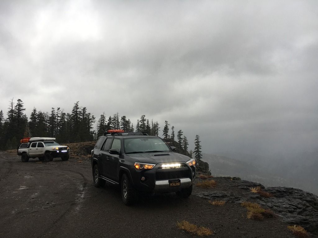
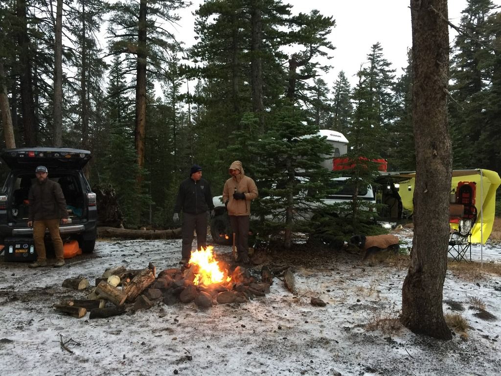
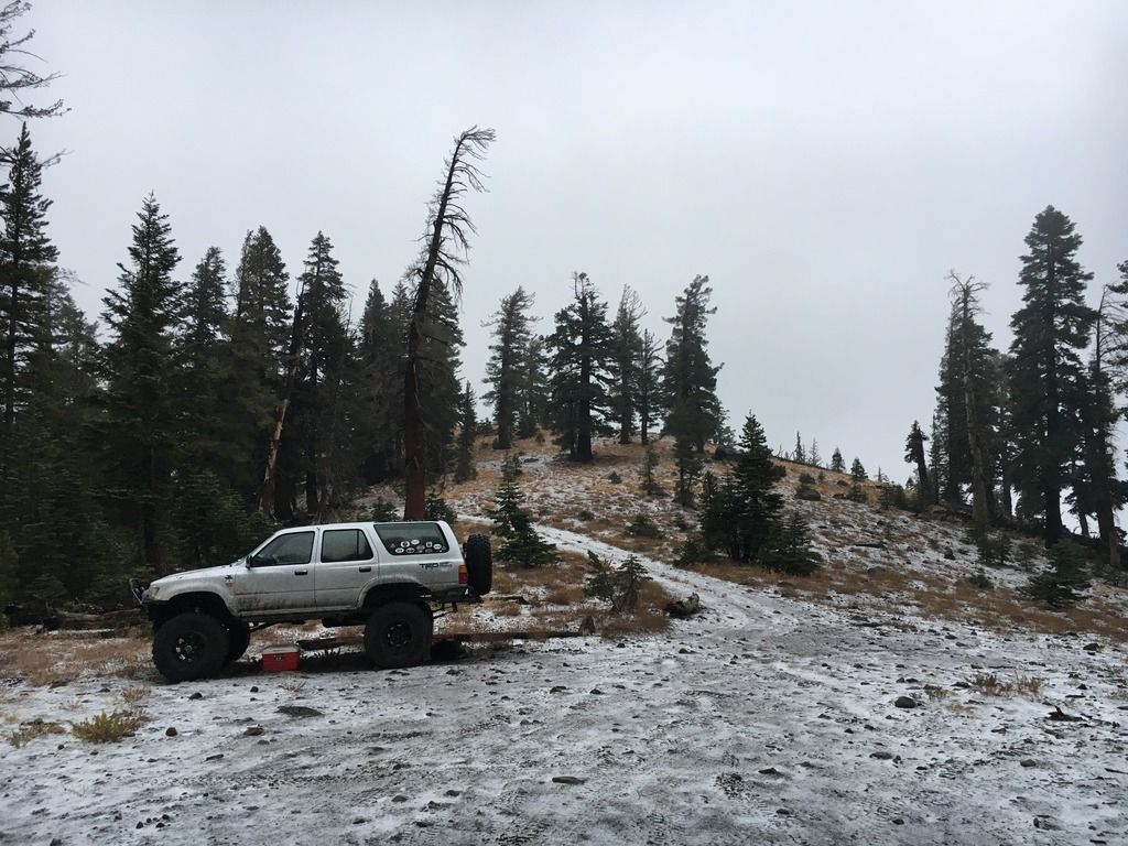
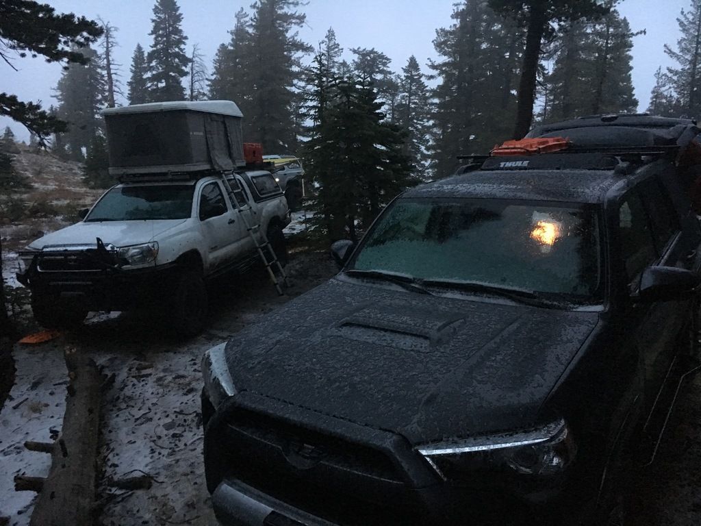
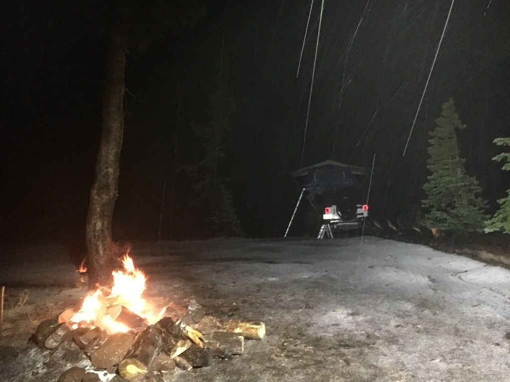
With weather approaching, we wanted to hit our campsite before dark, and before weather intensity ramped up. At this point we were getting rain at 6k feet, our goal was to get into the snow zone, above 7.5k feet. Camp was set for Eagle Peak, 9.1k feet up, West of the Niagra Rim Trail. After a quick jaunt on 108, we drove an improved dirt track, onto a 4x4 trail that would lead us to camp. It started in trees, opened into an earthly moonscape, and then back into the trees along a cliff to the campsite. We made it just as it started to “ice”; a cross between hail and snow to create a lovely mix. We got a campfire started immediately after some chainsawing to create some additional firewood. Andy had THE adverse weather set up with a combo awning and tarp. An awning is on the short list now, so thanks for that! We stuck it out for as long as we could. 40 mph gusts, thunder/lightning, “ice”, and falling trees. I moved the 4Runner to an open area, and we all started up a game of cards with some drinks to keep us warm before calling it a night.
IMG_8979_zpsyaqsfk33.jpg

IMG_8983_zps0iigulv6.jpg

IMG_0473_zpstj1wbssw.jpg

IMG_8988_zpsy95wn7h3.jpg

IMG_8990_zpsty47v9co.jpg

IMG_8992_zps3lzj8pvi.jpg

IMG_8996_zpsuu4jdj8x.jpg


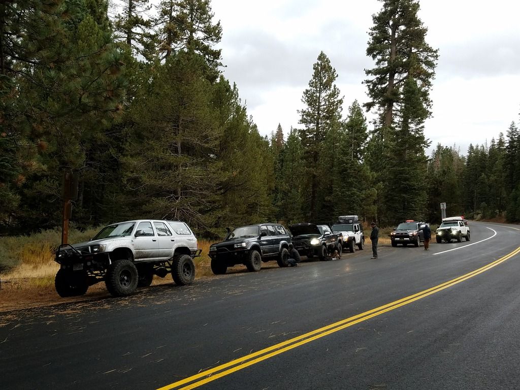
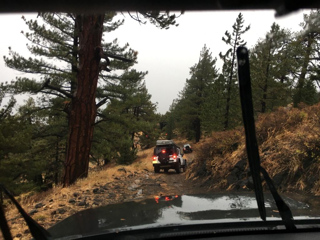
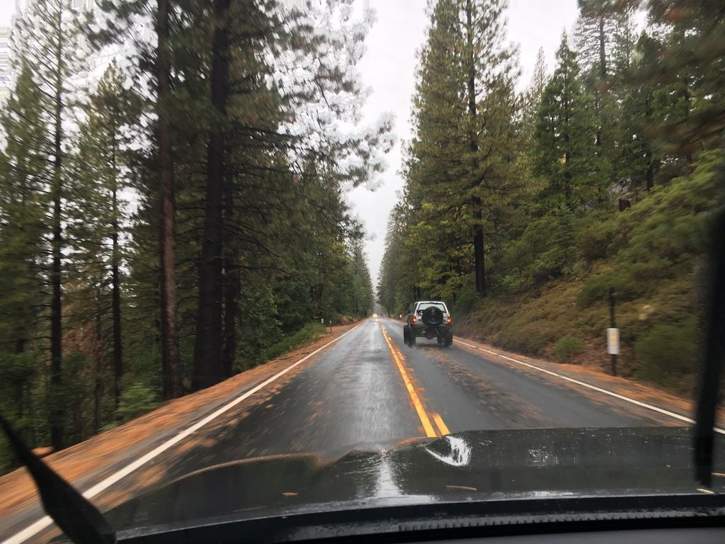
In the morning, we were met with rain. Camp was packed quickly and we moved down the mountain before conditions worsened. We made it backed to a paved forest road, and opt’d for a small turn out to air up. Heading out of the forest, past the National Forest sign is always a sad feeling, but it reminds me that I’ll be back, and that I haven’t even scratched the surface for the trails, roads and campsites that are out there in the Sierras. To date, over 500 miles tracked off road this year. Many more to travel. Nate and Charlotte said their goodbye’s over the radio and set off south. Andy split off in Oakdale to weigh his beast at a CAT scale in Ripon. And Vincent and I made our way back to the Bay Area. It was a great trip with good friends.
IMG_9004_zpsmqyduuyf.jpg

IMG_9011_zpswd2uwh0s.jpg

IMG_9013_zpsnr1mchwo.jpg


20161016_080752_zpsotaajqwd.jpg


More to come...​
 

MTN4RNR

Adventurer
Incoming Trip Report

150 miles off-road on rocks, dirt, through dust and changing terrain. Death Valley 2016 in the books. Check back for a trip report in the coming week.

DSC05560_zpsksbus075.jpg
 

MTN4RNR

Adventurer
Death Valley - November 2016 (1 of 5)

Sierras in the summer, desert in the winter. It's the motto for the California Adventurer. I have spent my spring, summer and fall exploring a small portion of the Sierra Nevada mountain range. With temperatures dropping and snow falling, I decided to take the opportunity to follow along with an experienced group to explore the desert for the first time. Since Rob has been hosting an annual Death Valley trip for years, I knew that we were going to be in for a good time with lots of things to see and a fantastic hydration schedule. In this report, you will find both an account of our trip, as well as some side notes on specific subjects that I find important for trips of this type. Let's get into it!


Driver/Rig:
RobRed [Rob/Dakota] - Toyota Land Cruiser (100 Series)
jAndyMendo [Andy & Taco] - Toyota Tacoma TRDOR (Not to be confused with Hodor)
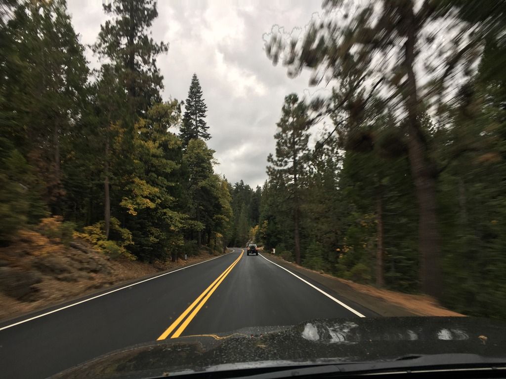
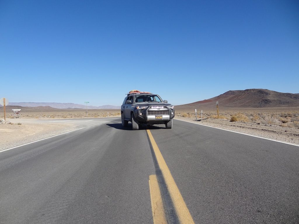
MTN4RNR [Max] - Toyota 4Runner Trail
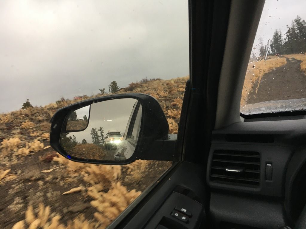
IOOOOI [John/Barb/Osi] - Jeep Grand Cherokee
Jynxx1970 [Mike] - Jeep Wrangler
Adalto_N [Adalto/Natalie] - Toyota 4Runner TRD Pro
Mayne [Kelley/Tiffany] - Toyota Land Cruiser (80 Series)
Jungion [TJ/Mike] - Toyota Land Cruiser (100 Series)
racerkit [Ben] - Toyota Land Cruiser (80 Series)


Day 0: Travelling
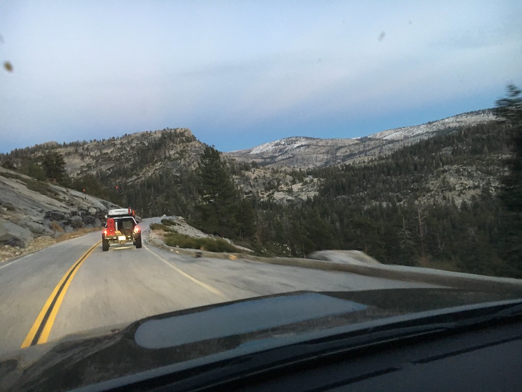
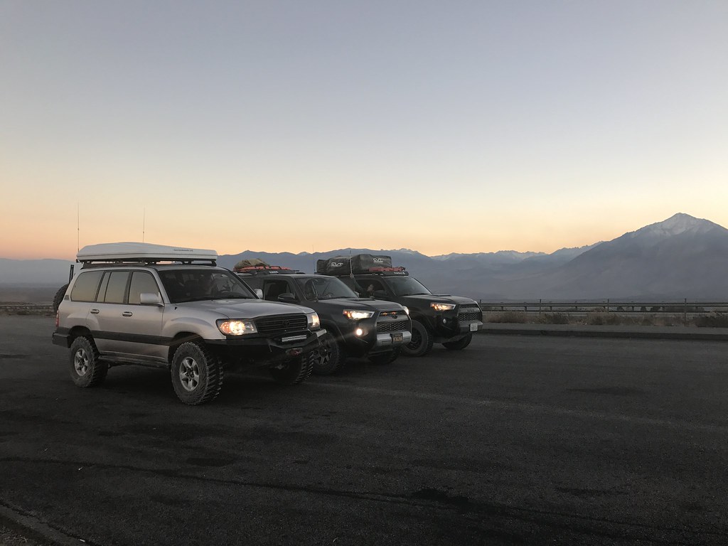
A group of us were meeting at a Goodale Creek Campground off of highway 395. I left the Bay Area with Andy to get a jump on traffic getting into the mountains. We opt'd for highway 120 over Tioga Pass.


31100959226_e3af57f97e_b.jpg


31006751731_c313c3d36f_b.jpg

PC: Andy


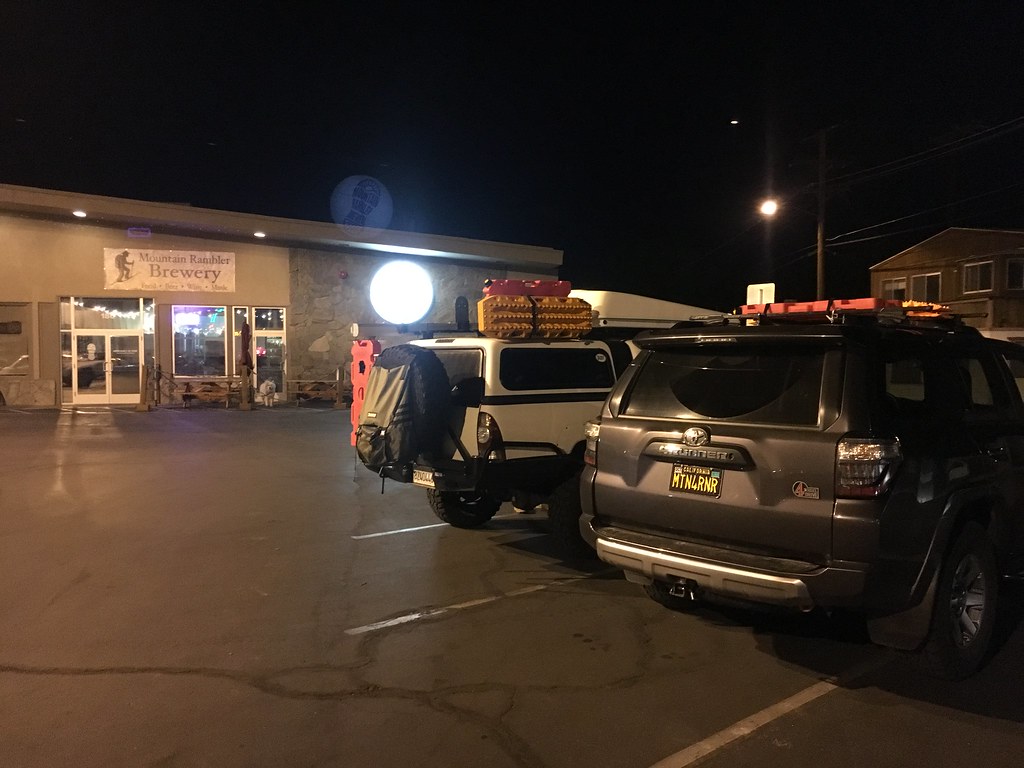
We refuelled in Bishop, got a beer at a local brewery called Mountain Rambler Brewing (the house IPA was very nice) before heading into camp for the night.


30316231394_16458aeb0d_b.jpg


Kelley, Tiffany and Mike were already in camp when we pulled in. Rob, Dakota, Natalie and Adalto had a late arrival after we had all gone to bed. John and Barbara had set up camp in the next group of sites, but we didn't know that until the morning when we spotted a lone Jeep and it's roof top tent off in the distance.


Day 1: Big Pine to Eureka Dunes
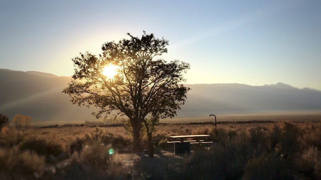
Morning broke on the campsite to a beautiful view of the Eastern Sierras. We all woke up, packed up and hit the short road to the meet up point in Big Pine. The morning temperature was cool, but refreshing.


31006115821_38b831efa8_b.jpg

PC: Kelley

30330274873_109b6b29b4_b.jpg


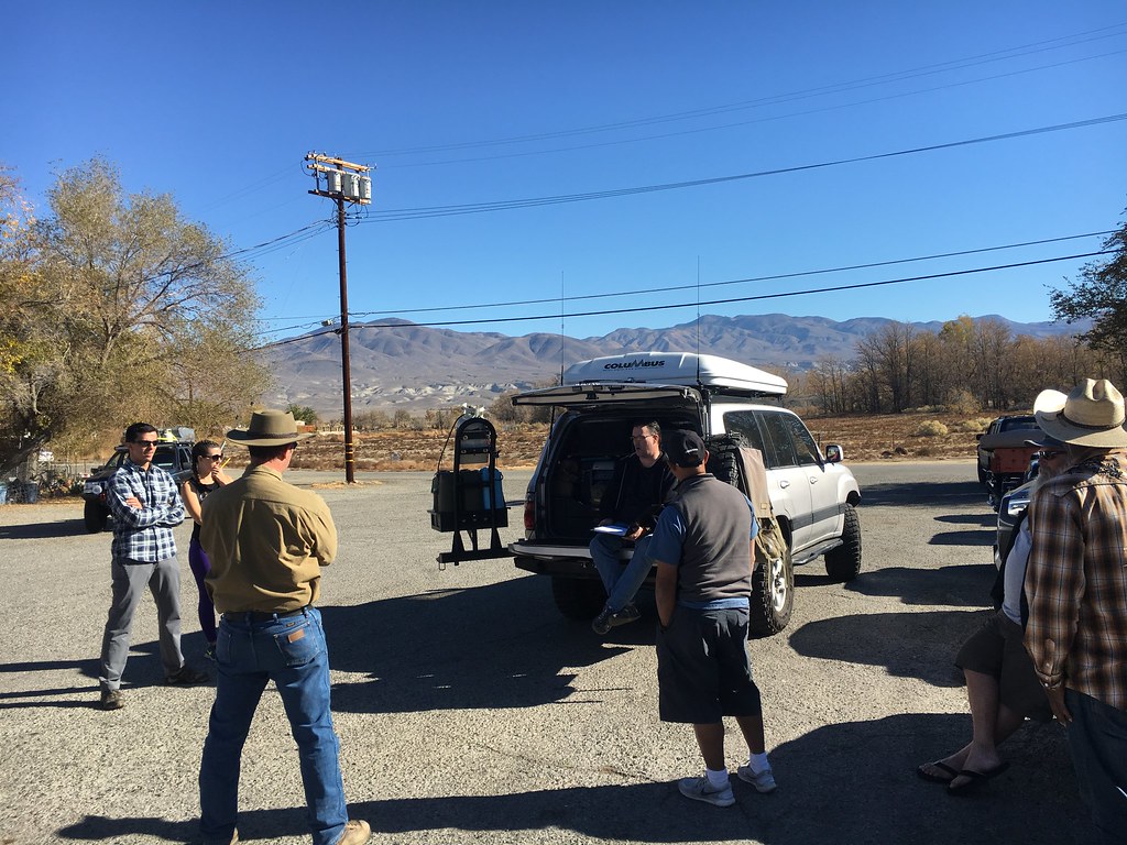
We all trickled into town and topped off our rigs and fuel cans at the local Shell, and subsequently filled up ourselves at a breakfast joint conveniently next door. A large omelet with all the standard breakfast dive fixin's provided a solid meal before heading on our remote journey. We met across the street for our first morning safety meeting. Rob finds these morning meetings important to the travelling process as we go over the daily itinerary, discuss any vehicle or personnel issues, and generally make sure that everyone is problem free and ready to go. As we are travelling in remote areas with little to no convenient “mission abort” route, communication within the group is crucial. The ability to bring things up in the morning meeting, whether it be vehicle or personal issue, allows for the group and group leader to plan as soon as possible for any scenario. Having this get together in the morning was a very welcome addition to the daily schedule. For our first meeting, we took turns introducing ourselves and going over the general itinerary of the trip before heading out on the trail.


31022892681_ba5c2ee81e_b.jpg


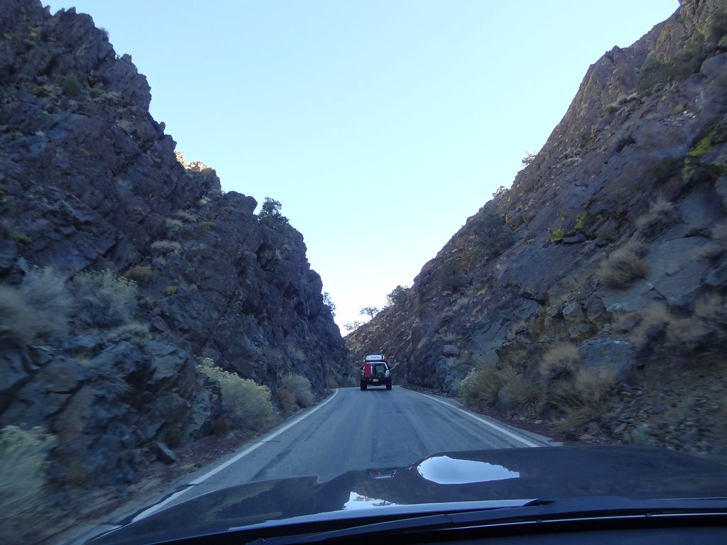
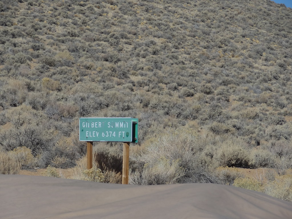
After our safety meeting, we all conducted our own rig walk arounds before heading out of town. Our first waypoint was Gilbert Pass on highway 168. We drove east, and into the mountains via twisty highway 168. Gilbert Pass marked the start of dirt, and our air-down point before descending into Eureka Valley. Air down pressures vary based on vehicle weight/setup and driving style. For this trip I brought my pressure down to 22 psi as there would be higher speed sections over longer distances, and because my vehicle is relatively light.


31094881645_749510bf2c_b.jpg


30981024591_ebaeb8d8f3_b.jpg


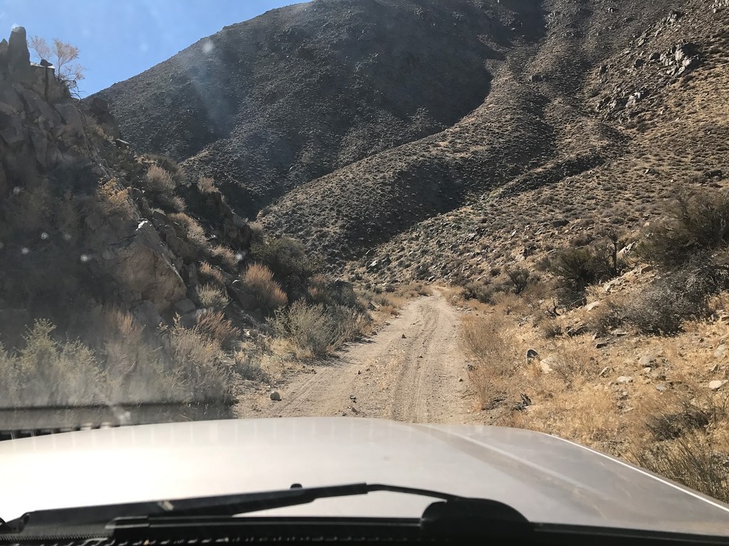
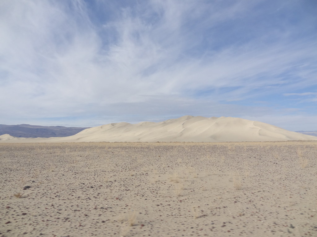
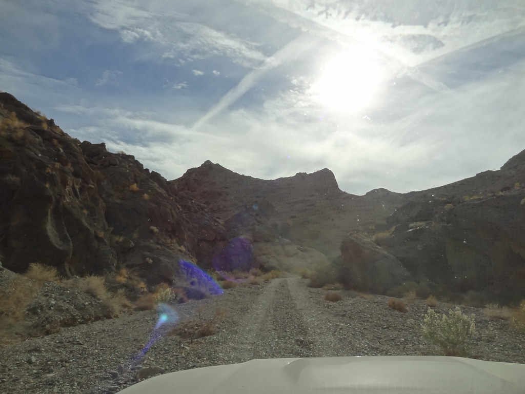
The drop into Eureka Valley was my first introduction to the desert. Tall mountains surrounded a sloping valley floor leading down to Eureka Dunes on the South end of the valley. We came through the north between Sugar Loaf and Chocolate mountains. The landscape and roads were rocky and varying. I found quickly that many of the roads in this area traversed through seasonal flood areas making the trail rocky and hard to follow at times. The pace was slow but steady as we made our way to the middle of the valley and the more developed Death Valley Road that cut across the valley. We stopped at the Death Valley Road junction for a lunch break.


30752720190_eb2c176e60_b.jpg

PC: Dakota

30752418880_afa48493cc_b.jpg

PC: Adalto

30299015324_2097970722_b.jpg

PC: Adalto

30776290770_02ab042a3c_b.jpg


30776288280_909ab922a3_b.jpg


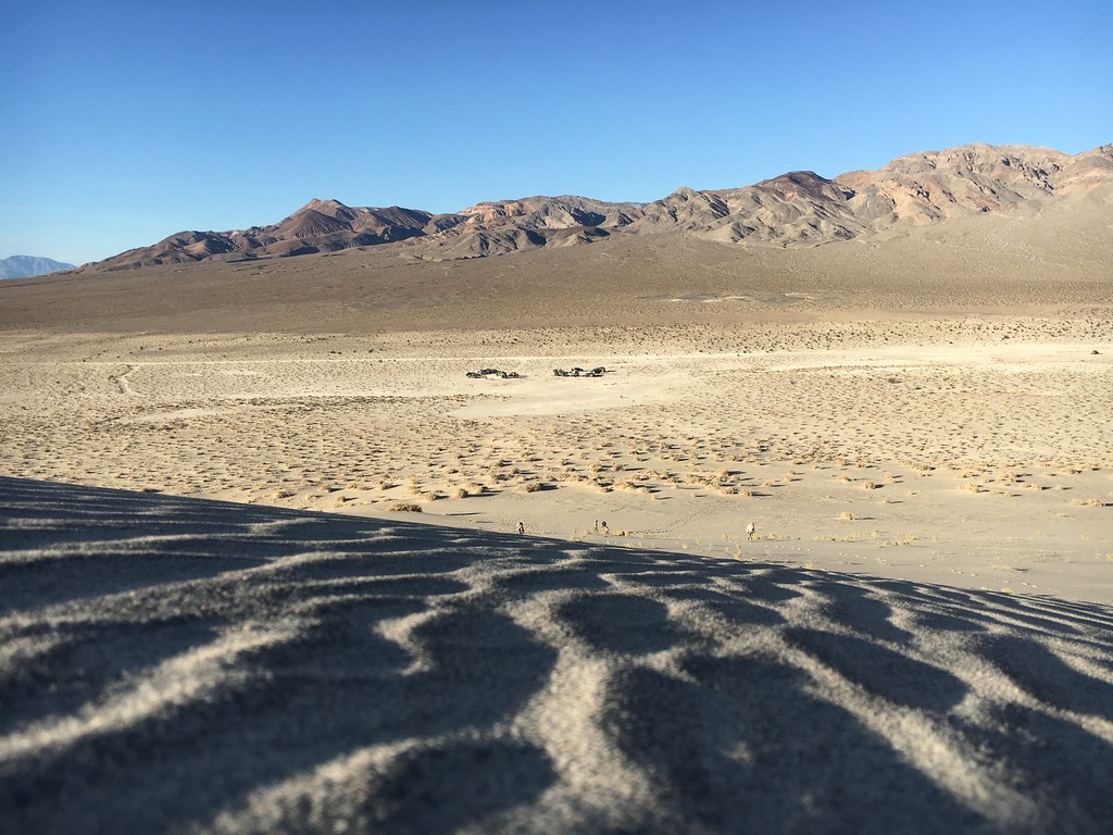
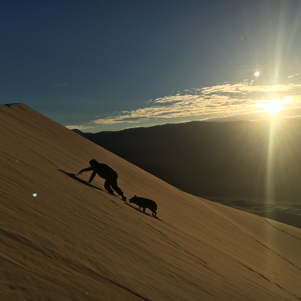
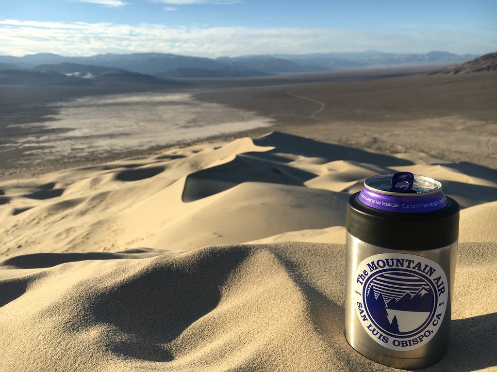
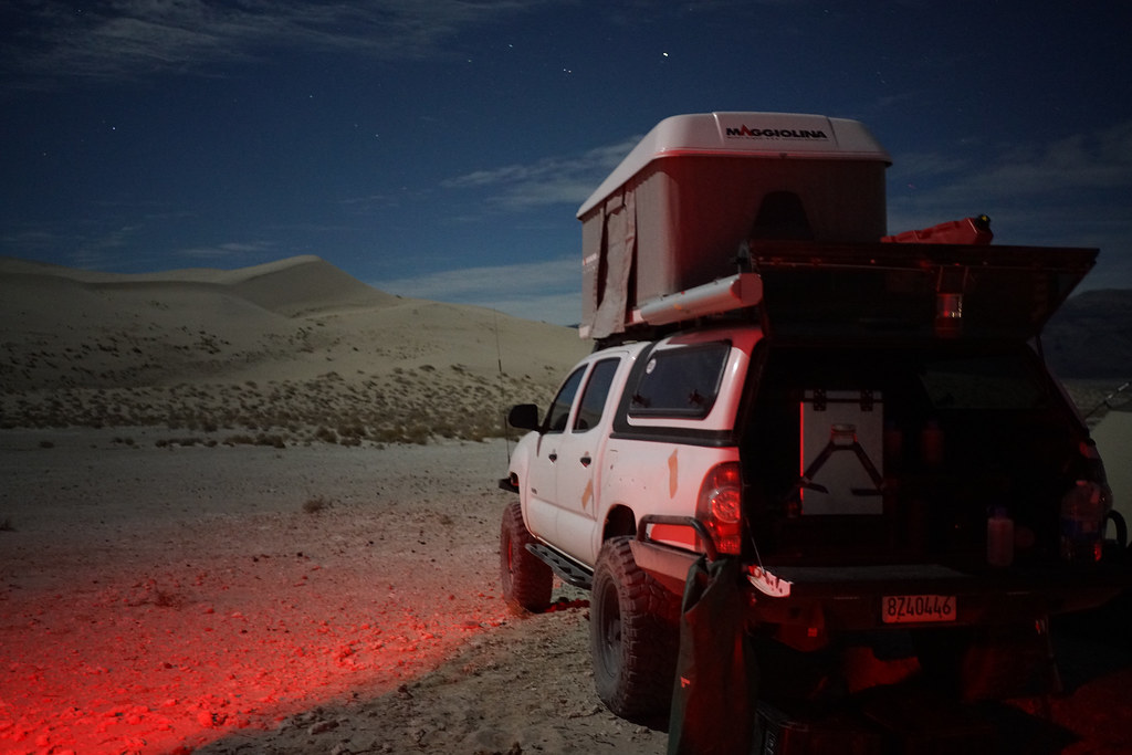
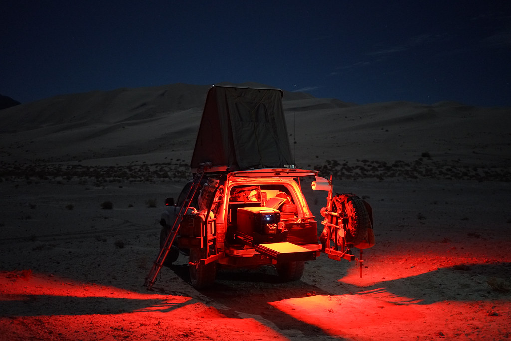
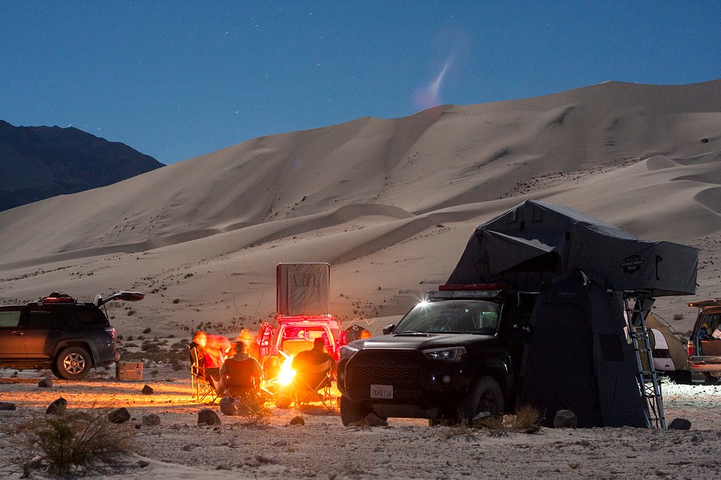
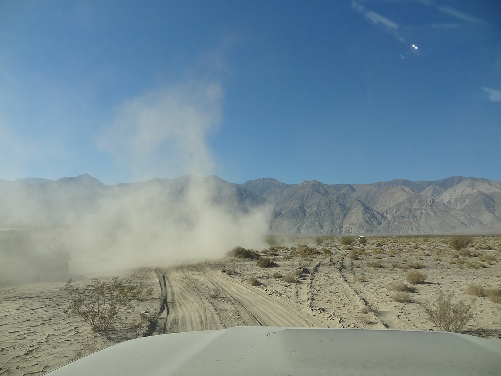
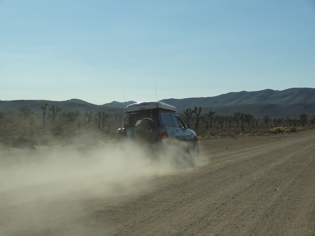
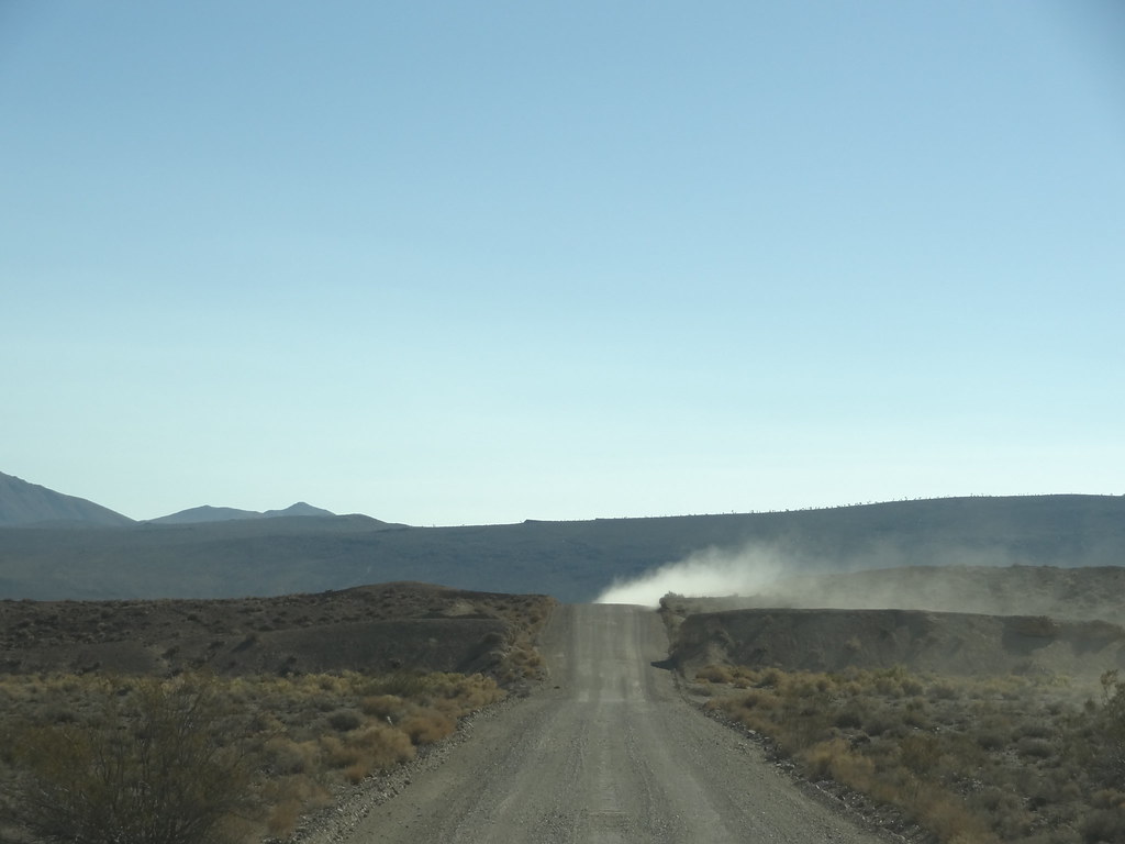
Following lunch, we drove down Death Valley road at speed and were quickly enveloped with dust forcing us to spread out. Good use of communications is key when a large group is spread thin to make sure that everyone in the group stays on the correct route. We arrived at the south end of the valley, and quickly claimed a campsite at the base of the dunes next to a fellow group of adventurers from the Xterra forum. They were out there running the opposite direction that we were, and had come down Dedeckera Canyon that afternoon. A few of us made our way up the dunes to stretch the legs and to catch the sunset vista at the top.


31022994621_b4cc88a181_b.jpg


30993676952_6a03e7cc40_b.jpg


30993672482_0f528dbdbf_b.jpg


31022995781_4f12206221_b.jpg


30993685362_4b1e8c320a_b.jpg


31100972766_6d19f04f51_b.jpg


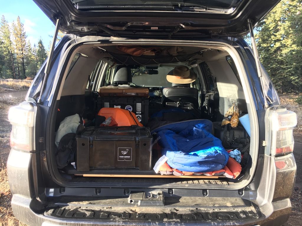
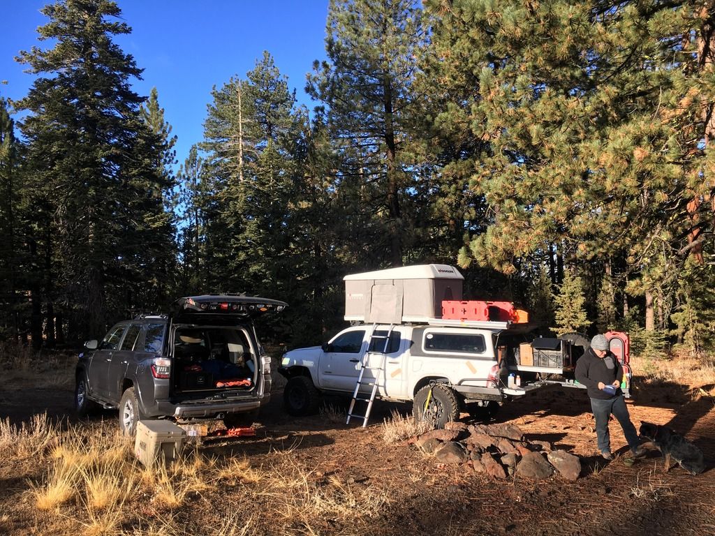
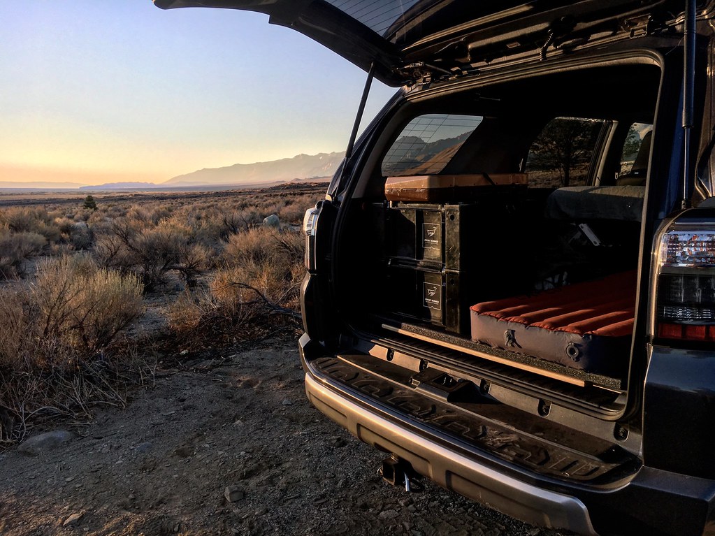
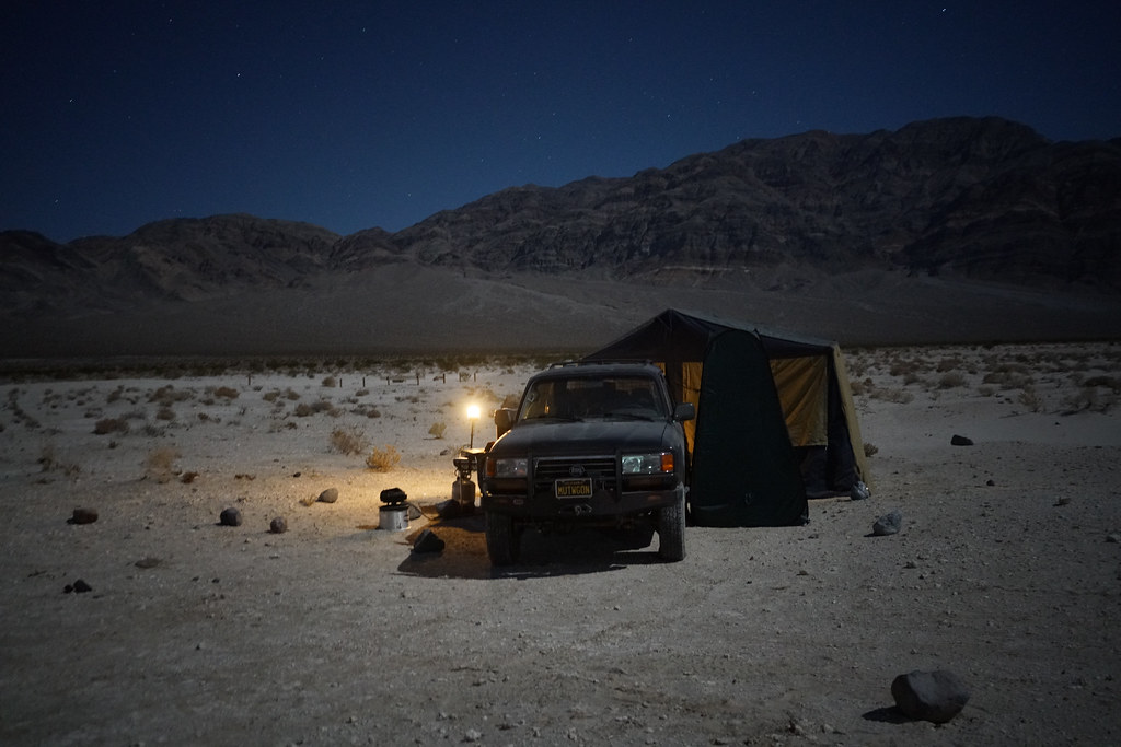
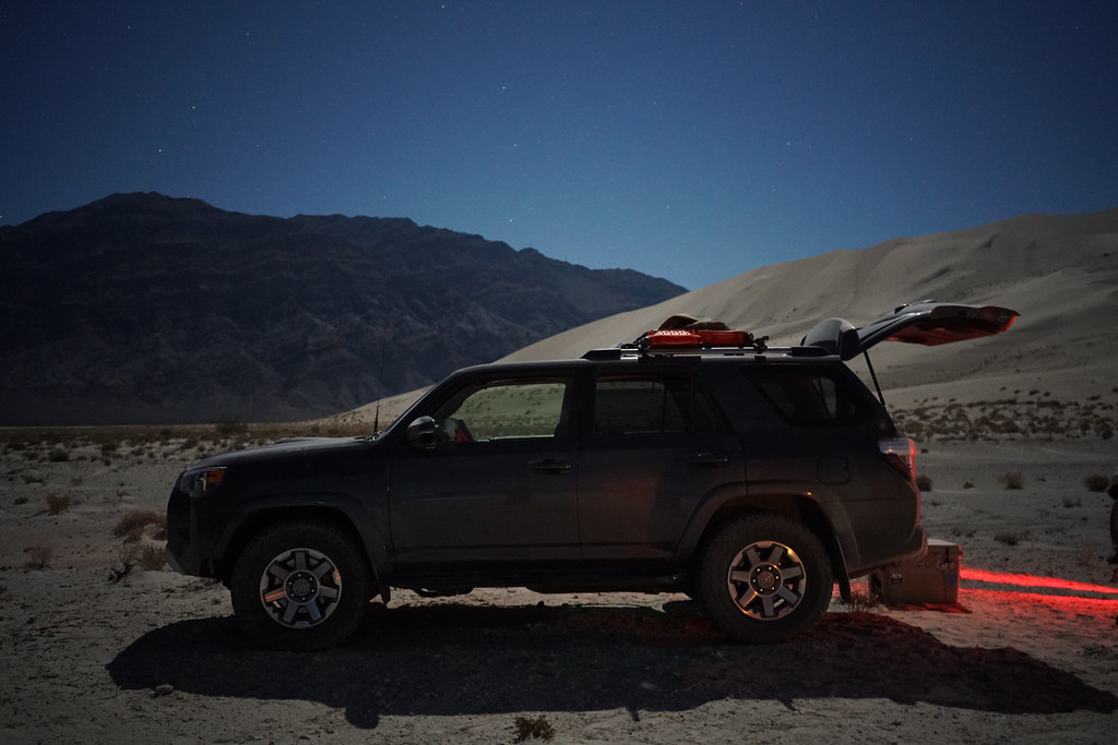
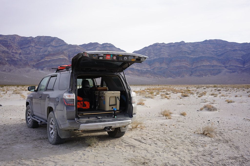
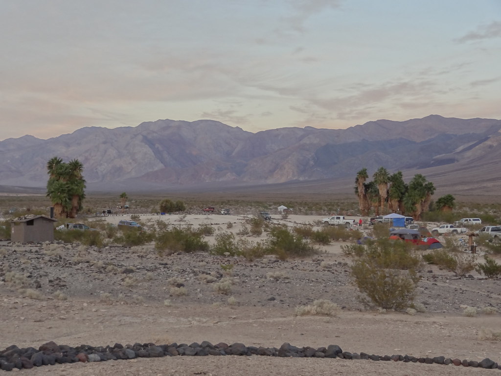
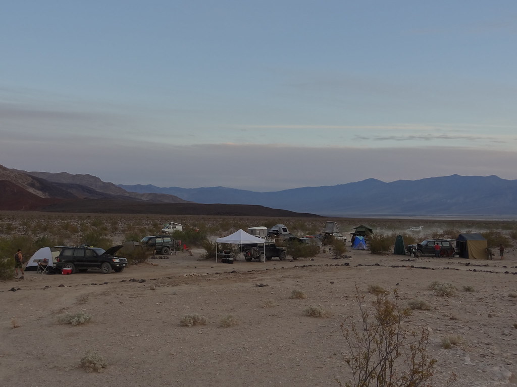
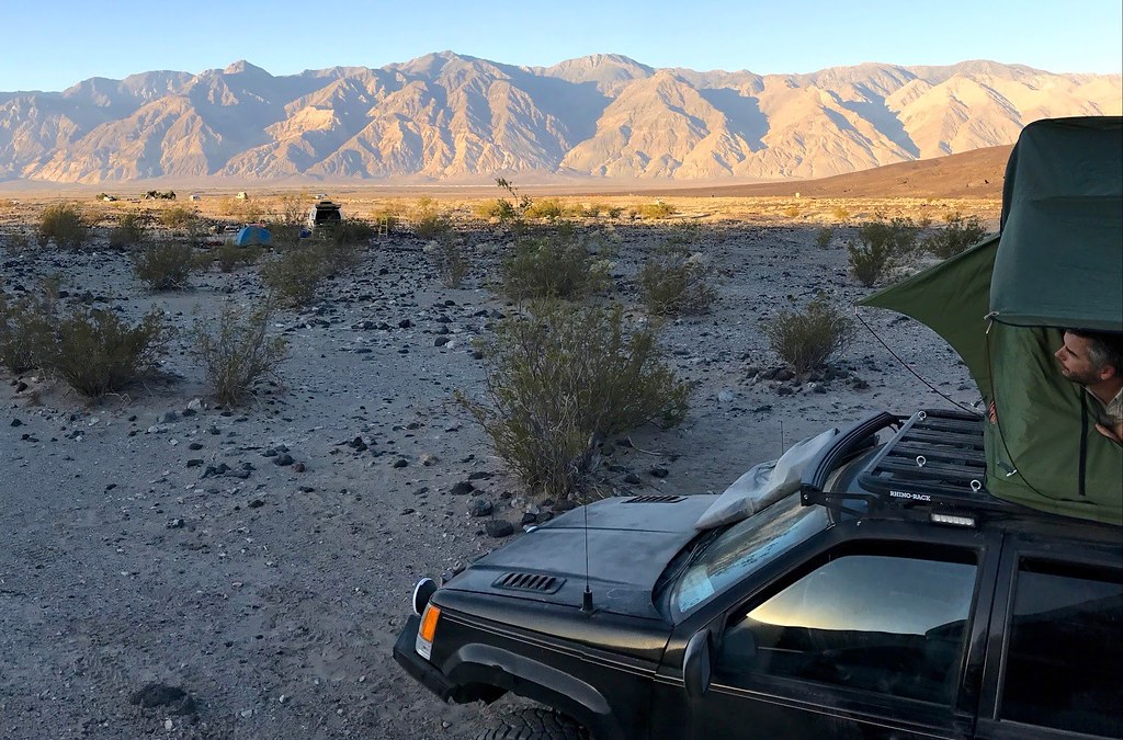
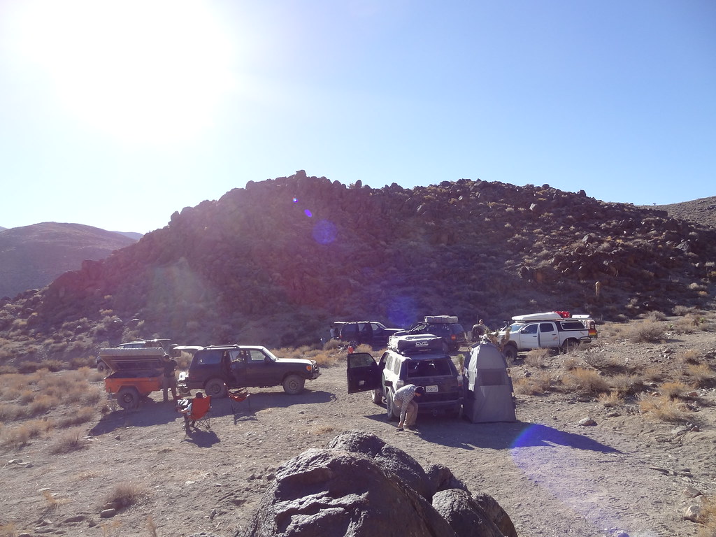
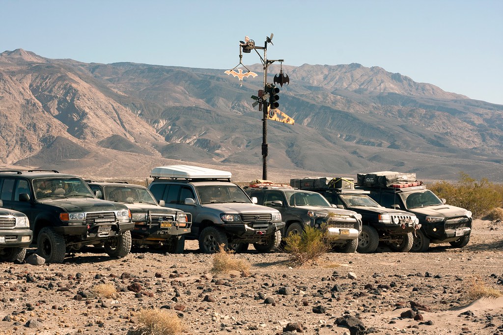
We set up camp, and settled in for the evening. Our group had a diverse camping set up. Some had roof top tents, but none the same. Kelley and Tiff have a pull-behind-paradise with their trailer/tent combination that brought some of the comforts of home with them on their adventures. One rig had a ground tent, and the rest of us slept inside their rigs using various systems. It was really interesting to see everyone's version of home away from home on this trip. In looking around camp site, I found some different perspectives and inspiration for my own set-up moving forward.


30952276952_f36678cda6_b.jpg


31058829326_2a7dca19ee_b.jpg


31058910386_a18f7a371c_b.jpg


30752418580_86f70e84f8_b.jpg

PC: Adalto

31091339605_a22a4f4926_b.jpg


30952380702_71f2d1068a_b.jpg

 
Last edited:

MTN4RNR

Adventurer
Death Valley - November 2016 (2 of 5)

Day 2: Eureka Dunes to Saline Valley Hot Springs
In the morning we woke up to an amazing view of Last Chance Ridge which rise 3000 feet above the desert floor.


30977266481_44dfb7d0d2_b.jpg


Camp began to stir shortly after the sun rose as everyone packed up their things in their own systematic way. We got together for the morning safety meeting to go over our trip through the day’s plan. We were to head out of the Eureka Valley, and into Saline Valley via Dedeckera Canyon. Camp was packed as we made our way around the back side of the dunes, and into the canyon.


30952673252_afab7eae91_b.jpg


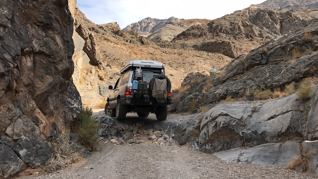
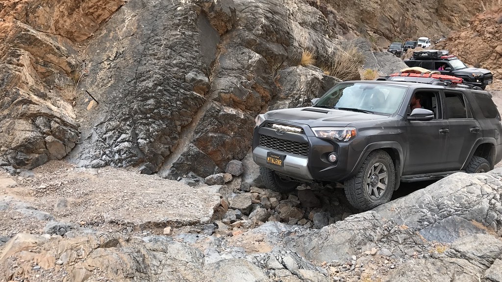
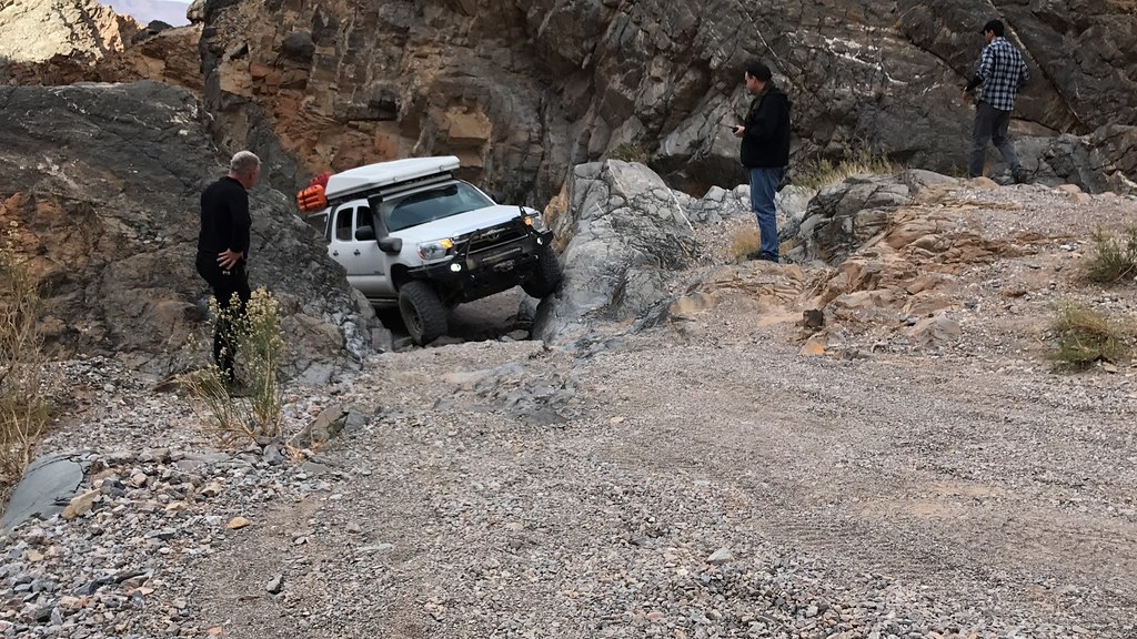
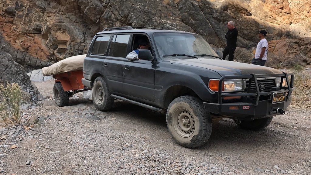
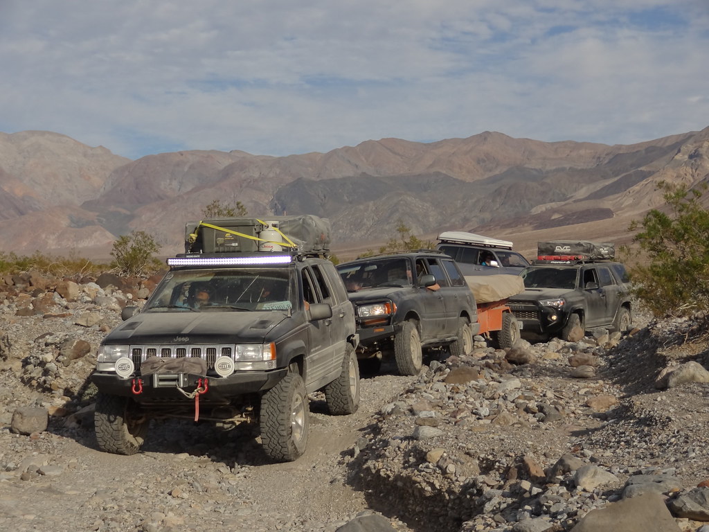
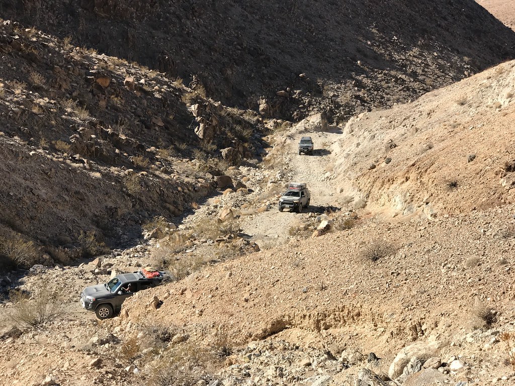
Dedeckera Canyon was our first obstacle on the trip. The trail narrowed as we came into a rock lined canyon where we met a well placed waterfall obstacle. Good tire placement, a bit of spotting, and a steady pace made this obstacle fun to tackle for the whole group. The unique aspect of our group is the variety of people on the trip, and the different vehicle set ups. We had novice off-roaders to the seasoned experts. Rigs with trailers, ones with stock suspension, no lockers, full lockers and a couple of fully built Expo rigs. We had it all. Even a few Jeeps! Everyone cleared the obstacle without issue, and we moved down and into the Saline Valley.


30981109401_062439cd11_b.jpg


31006118591_cc5d0a980a_b.jpg

PC: Dakota
30752719750_df7d02517f_b.jpg

PC: Dakota
31006118371_b15d667ba2_b.jpg

PC: Dakota
30752719500_035058bd16_b.jpg

PC: Dakota
30952736822_4eec6f0fcf_b.jpg


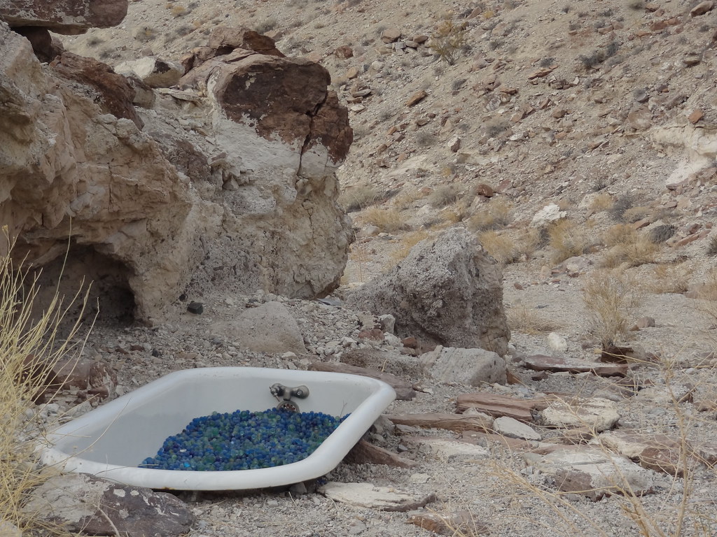
Heading into Saline Valley, stopped at a landmark called the Marble Bath. It’s rather self descriptive. It is an old cast iron bath tub that was placed in the desert soil before the National Park Service took over the land.


30288243393_8dfbd03c7b_b.jpg


A few in the group decided to hike to a group of indian paintings after lunch, the rest of us made our way down the trail planning to meet up at the Hot Springs. The trail transitioned from a well defined track to a “where’d the trail go” as the seasonal flood washouts move the trail every year. I remember Rob and Andy chiming in on the radio saying “My track from last year went this way”.... In opposite directions. It proved a fun portion of the trip because we breadcrumbed the trail together creating a new track that eventually lead us to a scenic overview of the northern section of Saline Valley.


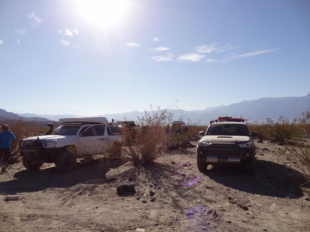
30953289712_35c28767d9_b.jpg


30981582831_87bdbd92b7_b.jpg


31059652416_9fa06a7917_b.jpg


30953311732_671fe5c10c_b.jpg


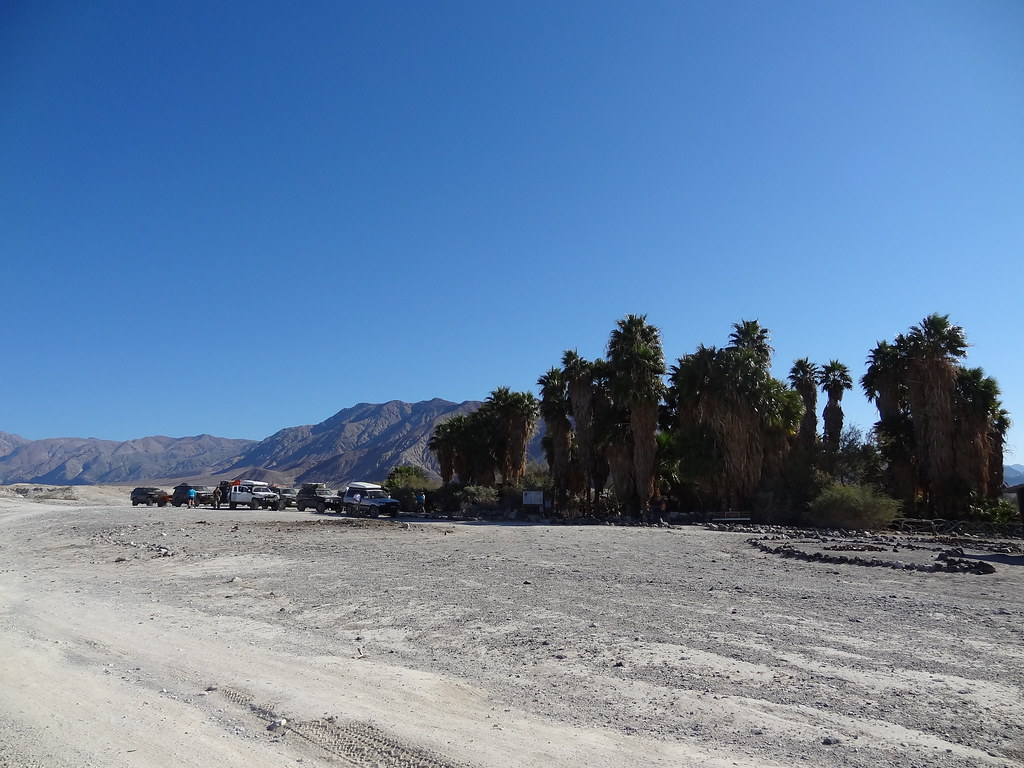
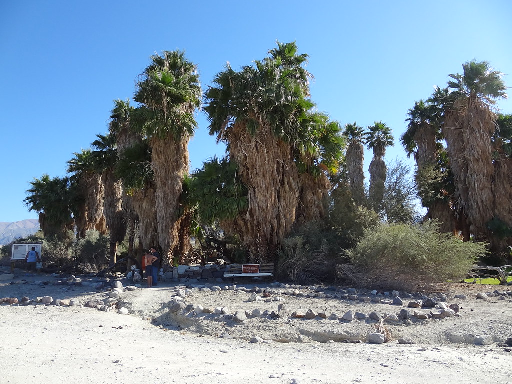
We made our way from the hilltop into the Hot Springs, and after hunting for a large spot we settled on an area close to the upper springs. What an oasis. I had not looked up the hot springs prior to the trip as I wanted to “surprise” myself when I got there, but I could immediately see why people had been talking about it for a good portion of the day. The upper springs had concrete tubs with comfortable seating, and temperature valves to get the temperature just right. I ended up spending most of my time in the Wizard Tub, one of the larger and hotter tubs. With the nearby shower (which only has an on/off valve and is permanently set to the perfect temperature), lawn and “kitchen area”, this was an amazing escape in the middle of a harsh desert. There are people that stay at the hot springs for weeks at a time, and I cannot blame them. Everything is well kept, the general atmosphere is very relaxed and respectful and the pit toilets are top notch (for a pit toilet).


30981818521_bb357009f1_b.jpg


30288678393_6ec6068288_b.jpg


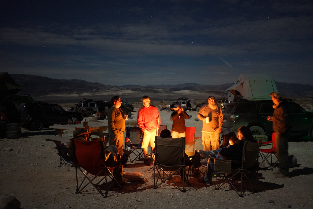
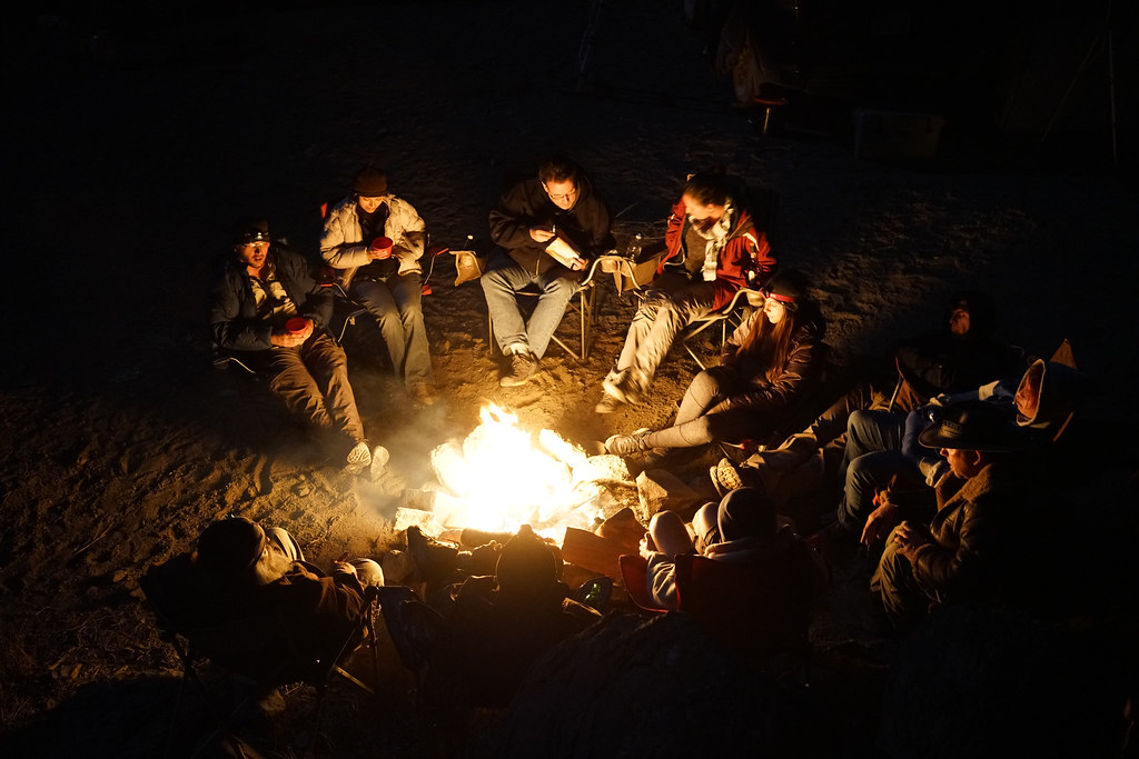
I have noticed that with every group trip I am on, there is always a coordinated effort to arrange vehicles in the best way possible and that typically everyone has their own idea of the best spot. Some like to be close to the fire, others a bit more secluded to the side. But after a few nights being on the trail together, the rhythm of setting up camp becomes natural. We all parked around a general open space and fire pit that we would share later on that evening after the “evening soak” as Mike would call it. Dinner was made. Sleeping arrangements were set up. I made my way to the tubs to enjoy the moonlit evening. After a good soak and some whiskey, I made my way back to camp where we enjoyed a good fire before calling it a night.


30288655693_8a0150cd65_b.jpg


30288757633_8aec7034d3_b.jpg


30981865791_ac68206831_b.jpg


Last edited:

MTN4RNR

Adventurer
Death Valley - November 2016 (3 of 5)

Day 3: Saline Valley Hot Springs to Hidden Valley
I was woken up by Mike (our resident hot springs expert) just before sunrise because I had asked him to include me in his “sunrise soak.” What I didn’t account for was the substantial hangover that the morning had in store for me. I was the worse for wear, but I wouldn’t let it stop me from getting to see the sunrise from the tub. I grabbed the biggest water jug I could find, and brought it with me to the tub where Mike, myself and a few other dedicated individuals sat back and watched the sunrise over the Saline Valley. I might have felt terrible, but it was worth it to be there in that moment with the wild burros making hee-hawing in the background. Lesson learned in the desert; hydration is hard enough in the desert, and alcohol makes it that much harder. After my kick in the butt sunrise soak, I came back to camp where the rest of the group was starting to poke their heads out of their tents to begin the day.


30752719910_26f3350125_b.jpg

PC: Dakota
30953467722_ffd88839ac_b.jpg


In quick fashion, everyone ate their breakfasts and packed up camp. I was consuming as much water as possible at this point to rehydrate myself for the day’s trek. We had our morning safety meeting where we went over the route for the day through the Saline Valley, over Lippincott Pass, past Racetrack Playa, and into Hidden Valley. We said our good-bye’s to Mike who needed to leave for work the next day. It was great having him, a desert local, on the trip to show us some cool spots and to talk to more about life in the desert. After a quick stop at the lower springs for a walk around and a final bio-break, we hit the road.


31095721635_d1c7813fc7_b.jpg


30288970613_c23b372a06_b.jpg


30752419000_7fb45b62a1_b.jpg

PC: Adalto
30299015604_ced1c40ed4_b.jpg

PC: Adalto


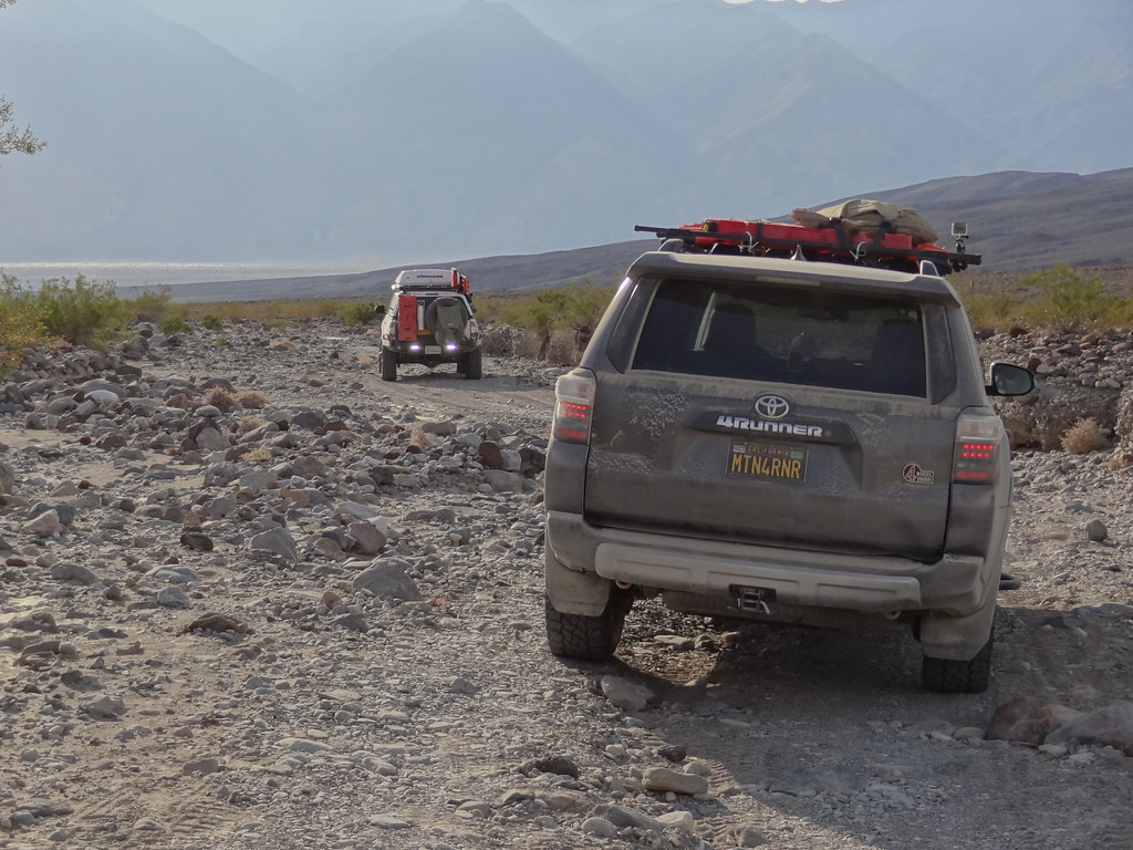
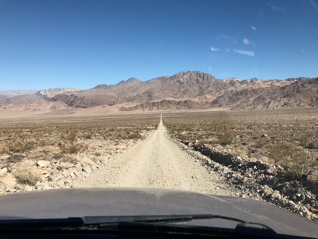
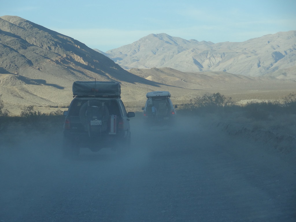
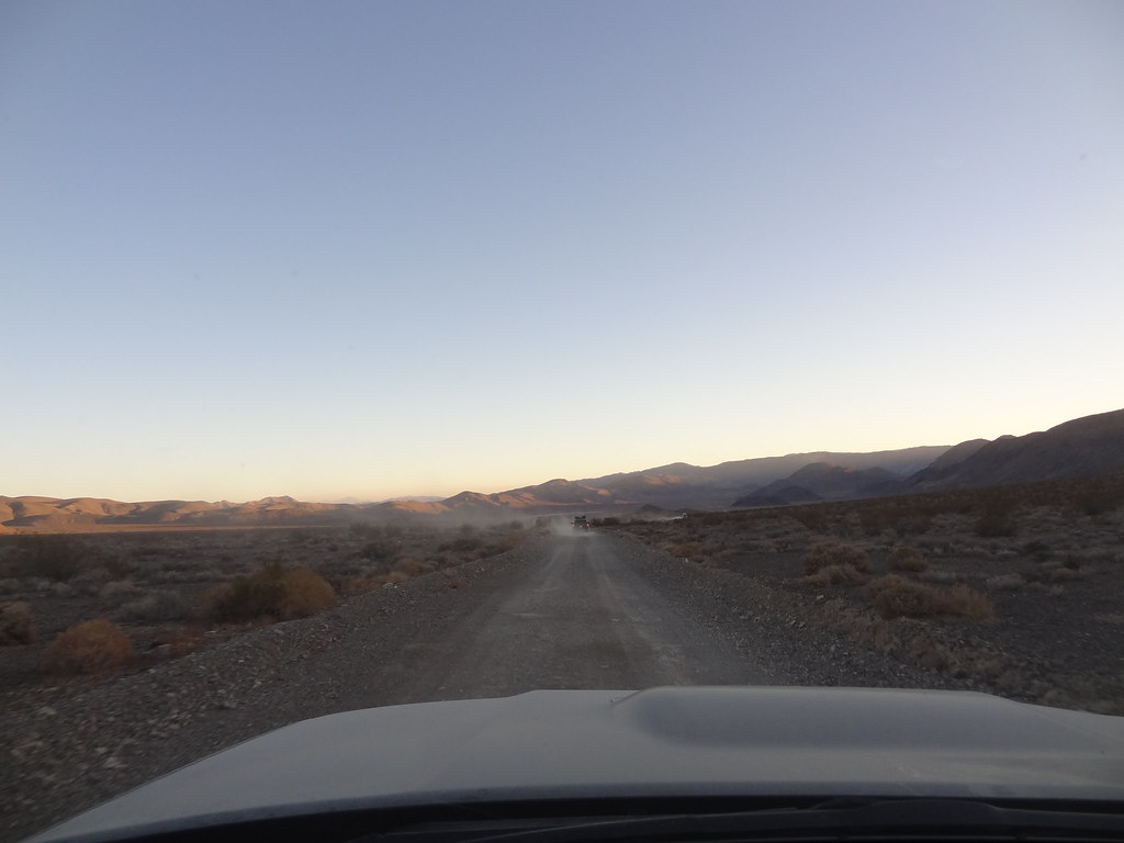
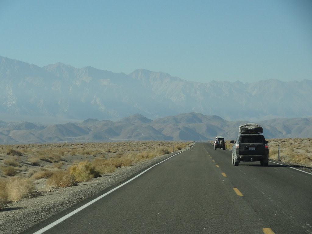
Saline Valley Road cuts through the valley and is mostly a washboard surface with sand, rock, and dust being it’s main components. It served as a good shake down for some recent additions to my vehicle including my platform systems, and the freshly installed mobile HAM radio. Thankfully everything attached to my truck stayed attached after miles of vibrations and whoops. Apparently according to others, the road was in better shape than in year’s past. Being on the stock 4Runner suspension, I was thankful for this good fortune and made note that coming back to the desert should include a suspension upgrade beforehand. Driving on this surface is rather tiring, as you are being jostled about and are constantly focusing on the road ahead looking through thick dust for tire hazards. I really got a sense for how tough these areas can be on tires from the vehicles that we saw with spare tires on, and from talking to other travellers about their misfortunes with flats on these rocky roads. I was thankful I opt’d for a load range E Cooper tire some months back as I now had thicker sidewalls less susceptible to cuts and puncture. That didn’t stop me from staring at the road the same as my dog does looking at my food when I eat.


30982162821_4b7aa87992_b.jpg


31006117971_f677197c27_b.jpg

PC: Dakota


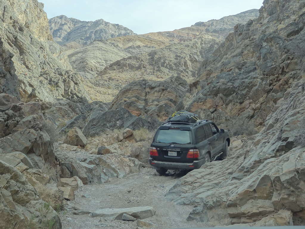
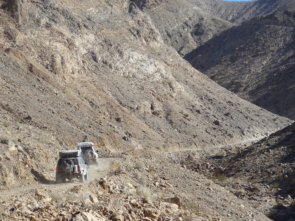
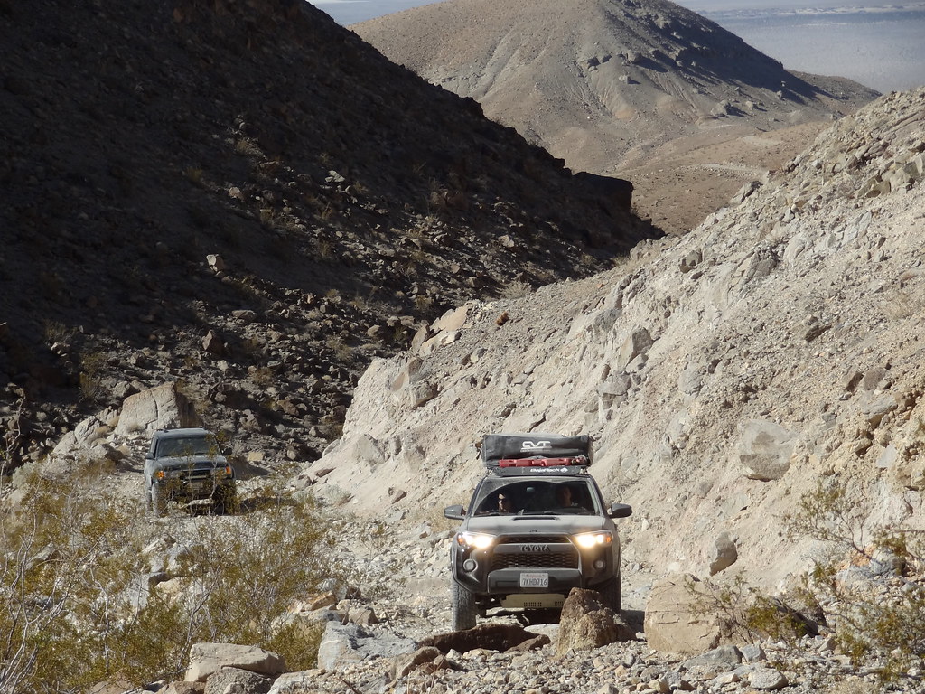
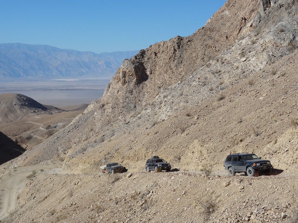
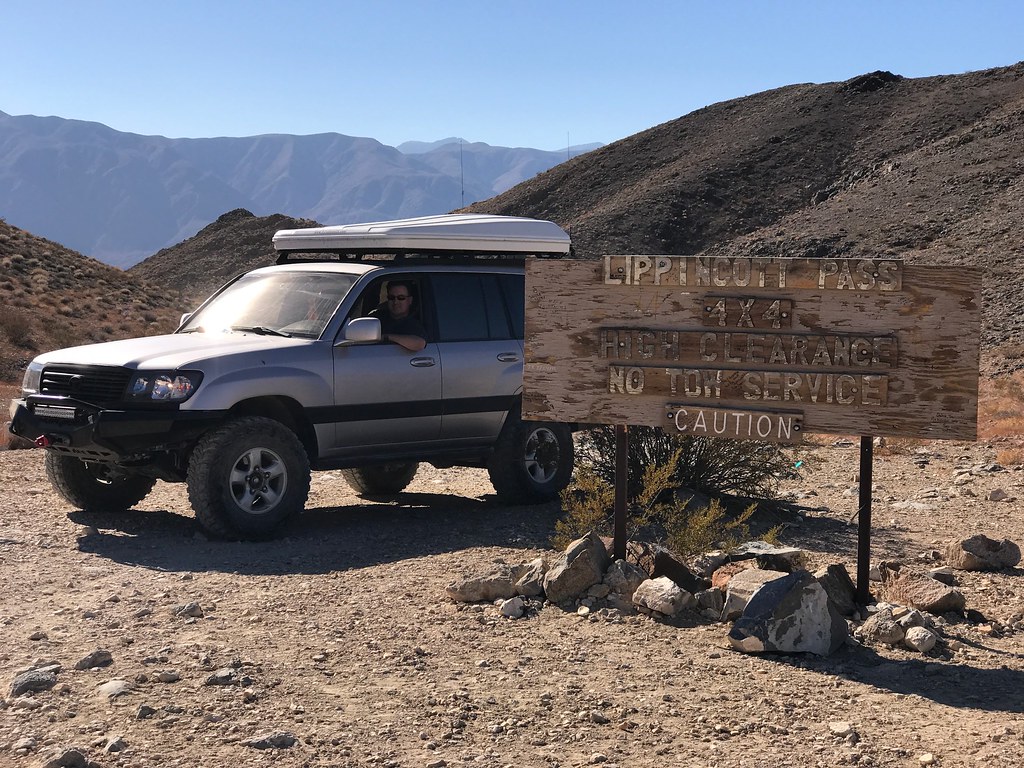
Our road caravan was spread out over a few miles, so when we reached the base of Lippincott Pass, we convened for a short break. Lippincott Pass, named after the visible Lippincott Mine near the summit, is a narrow stretch of trail that starts in the south end of Saline Valley, and climbs some 2000’ into the Racetrack Playa over the southern end of Last Chance Range. Because it’s a narrow trail, we sent Andy up the pass solo to scout for other groups and to hold off anyone at the summit from coming down while we were climbing up from the bottom. With seven vehicles (one with a trailer) there was no turning around once we started. Andy made it up the pass in a flash, he has a right foot problem, and gave us the all clear. We packed in and started up the pass.


31060343446_7c982c7807_b.jpg


31083789306_884a5ae9eb_b.jpg

PC: Dakota


30982478331_cf88166a41_b.jpg


30954108872_f7b2b0079d_b.jpg


30752718990_8e740a4bc0_b.jpg

PC: Dakota


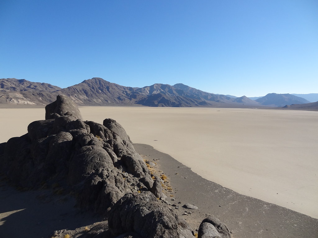
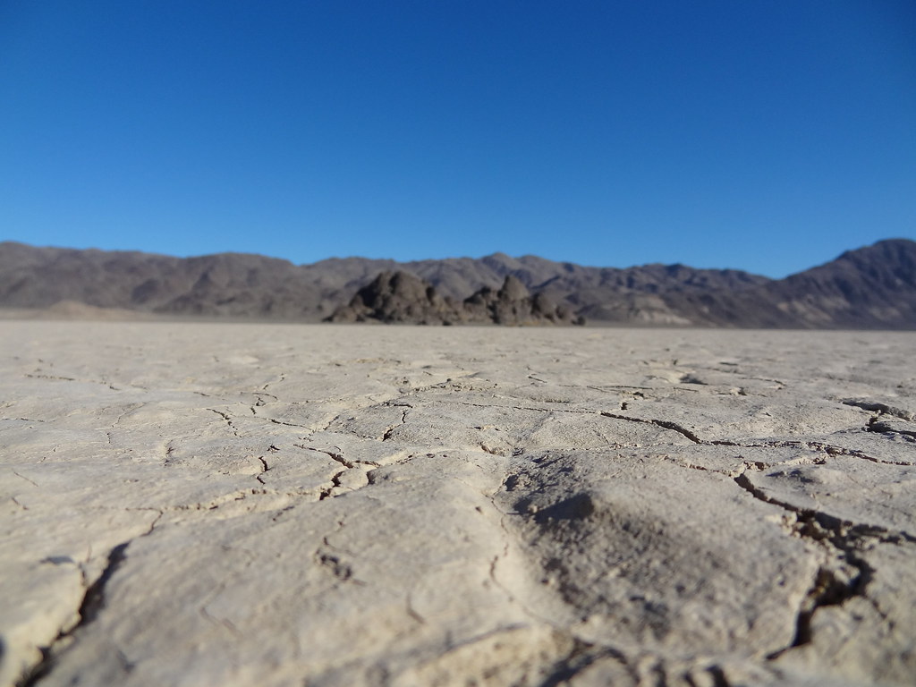
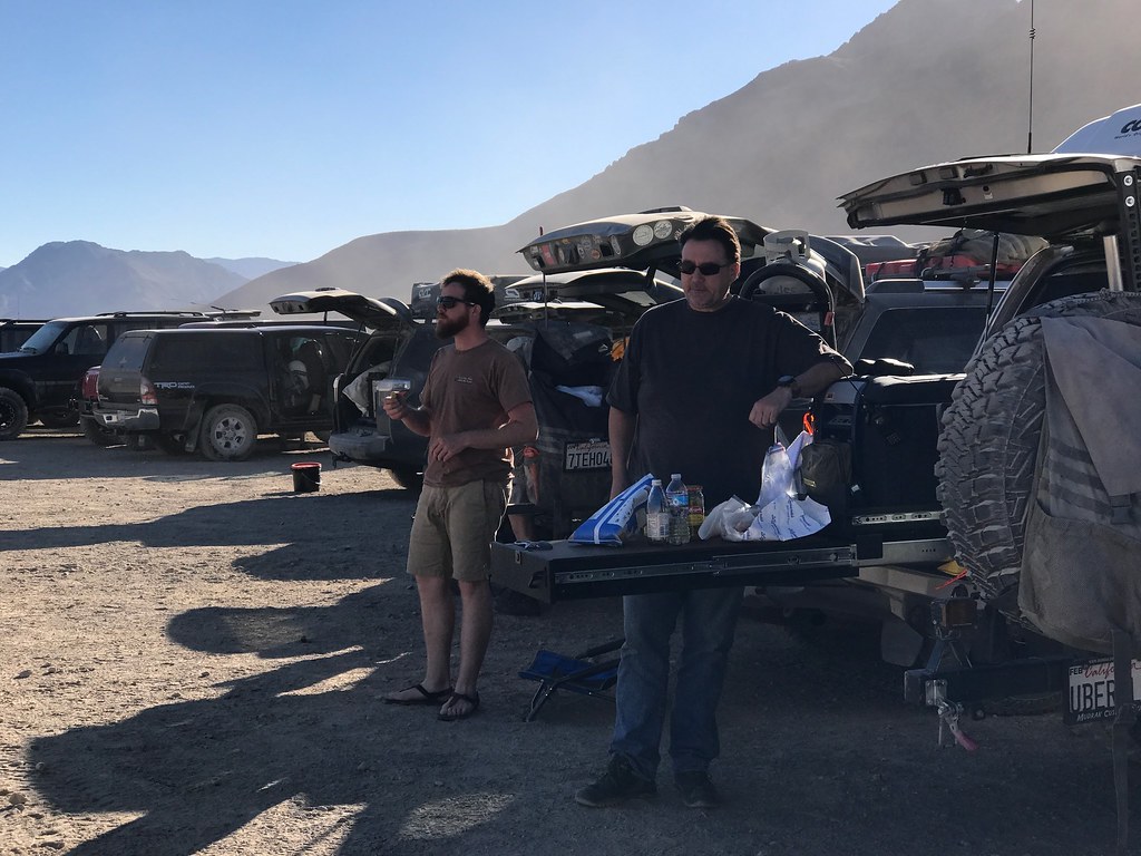
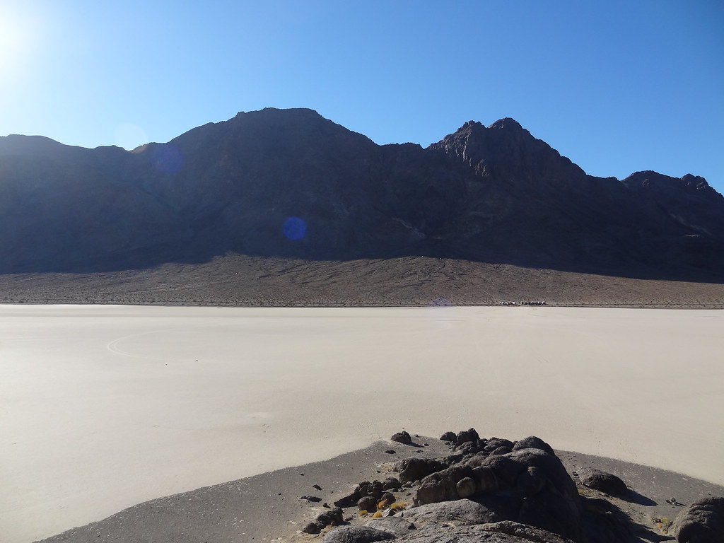
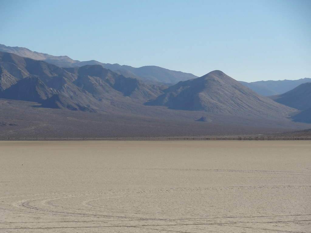
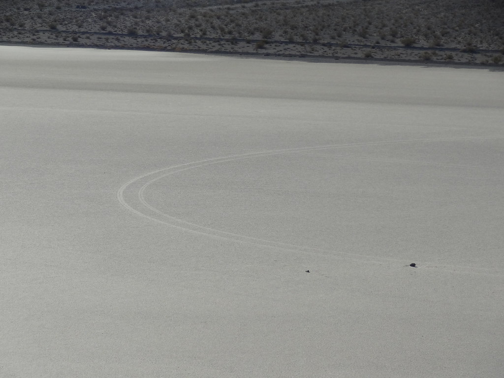
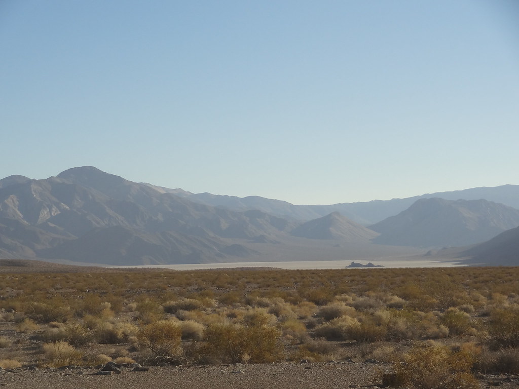
Our summit of the pass was uneventful and very fun. The views were fantastic… for those in the passenger seats. The driver’s were rather focused on the task at hand as there was a rather steep drop off on one side of the vehicle for most of the ascent. Once at the summit, we dropped into Racetrack Playa, a place that I had read about and seen many photos of. Coming down into the valley floor, the playa stands proud as a massive flat area that looks very strange, like something out of a movie about another planet. We traveled along the west side of the valley, and found a spot to pull over for lunch near the Grandstand, a large protrusion of rocks on the north side of the playa. We all took to either fixing lunch, or scattering out to the Grandstand. One thing that we did all notice were the recent markings on the playa floor from an illegal joy ride that had taken place a few months prior. I was saddened that somebody’s irrational and immature decision to blow past Wilderness Boundary signs for the sake of sliding around on the flat surface caused so much lasting destruction. I felt fortunate that I was able to still come see this amazing place after that incident and I hope that others that come to see it continue to respect the rules set forth so that it can be taken in for generations to come.


31096645015_d506d3c5d4_b.jpg


31096321255_d512632790_b.jpg


31006117751_71beab6d26_b.jpg

PC: Dakota


30288104084_418230cb52_b.jpg


30982679981_652efe2088_b.jpg


31060780966_a1e6856130_b.jpg


I took one last view at Racetrack Playa as we packed up from our lunch break. We were continuing north to Teakettle Junction, and then to find a local mine. More washboards ahead, I could hardly wait.


30954603392_81cac8ac32_b.jpg


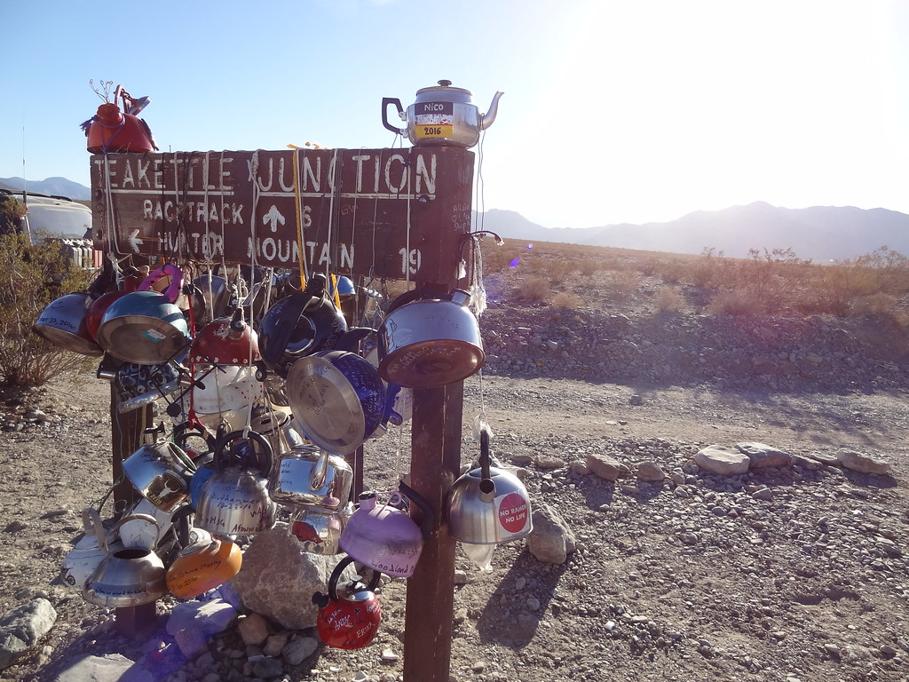
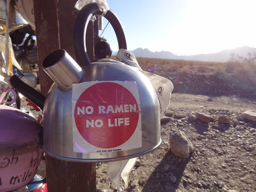
Teakettle Junction is an area where Racetrack Valley and Hidden Valley Road intersect with a large wooden sign in the middle of the junction that is decorated with teakettles. Each one different with either things on them or in them. It seemed that it was a token of passage to leave a kettle behind, and according to research after the trip, it is good luck to leave one behind. Apparently the park service clears the sign of kettles every so often, and many of the kettles were dated from a month or so before hand. I wonder if there is a massive kettle graveyard somewhere out there in the desert. Maybe another trip… I tinkered around the kettles, and took one last look at Racetrack Playa before we pushed on into Hidden Valley in search of Lost Burro Mine.


30983210211_db081242aa_b.jpg


30954633792_ab12f284e9_b.jpg


30983193411_f3819a582d_b.jpg


30290110203_e9c41c0b7b_b.jpg

 
Last edited:

MTN4RNR

Adventurer
Death Valley - November 2016 (4 of 5)

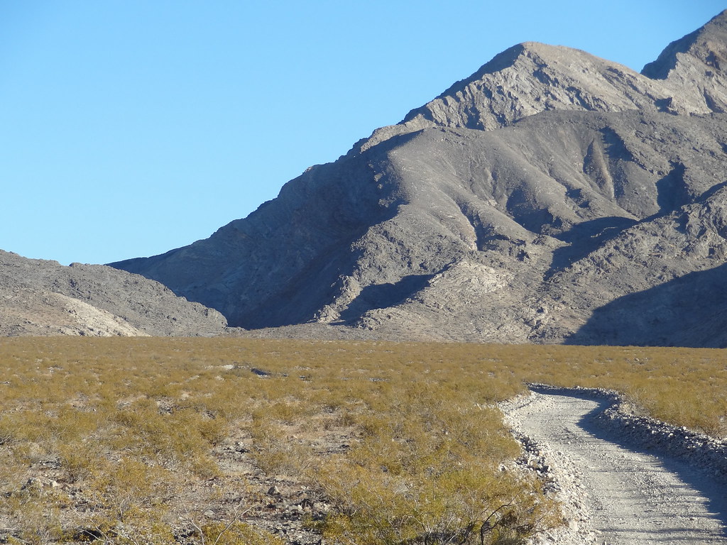
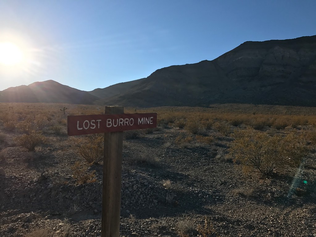
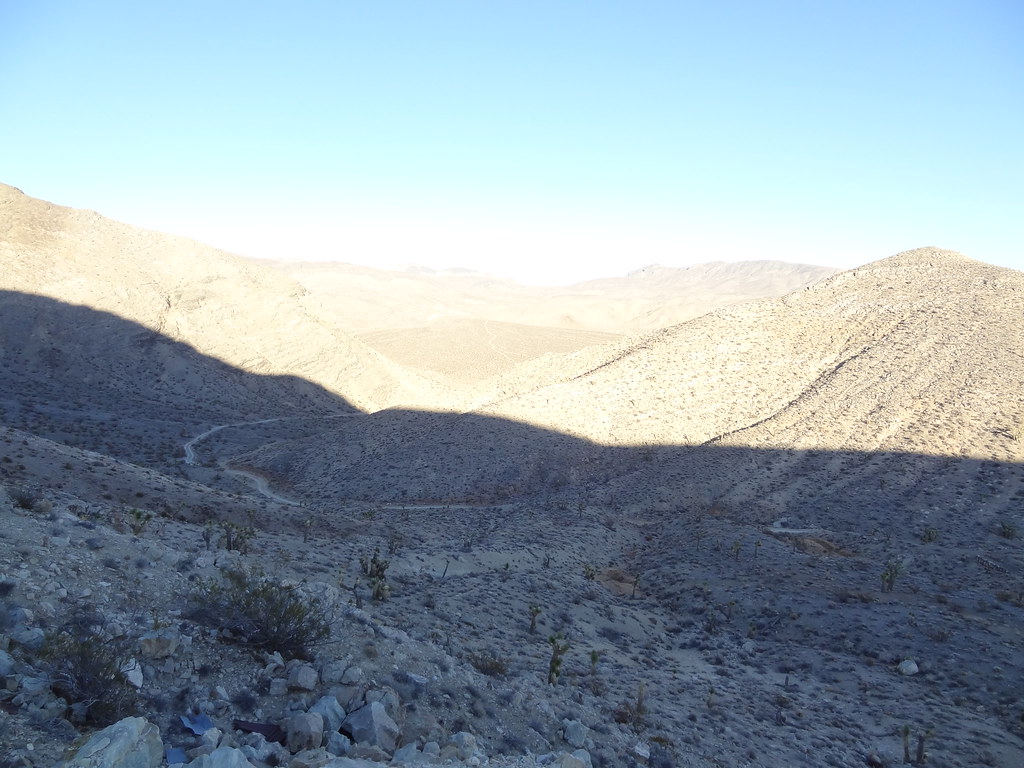
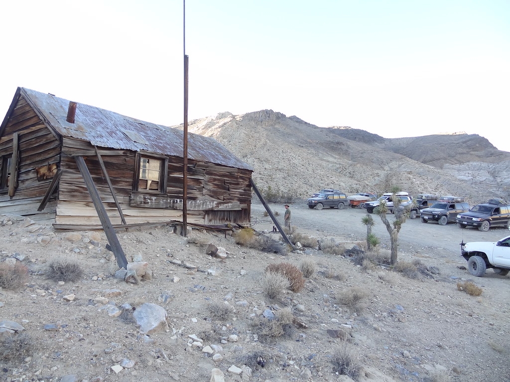
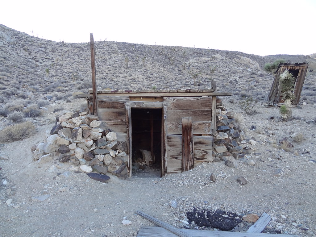
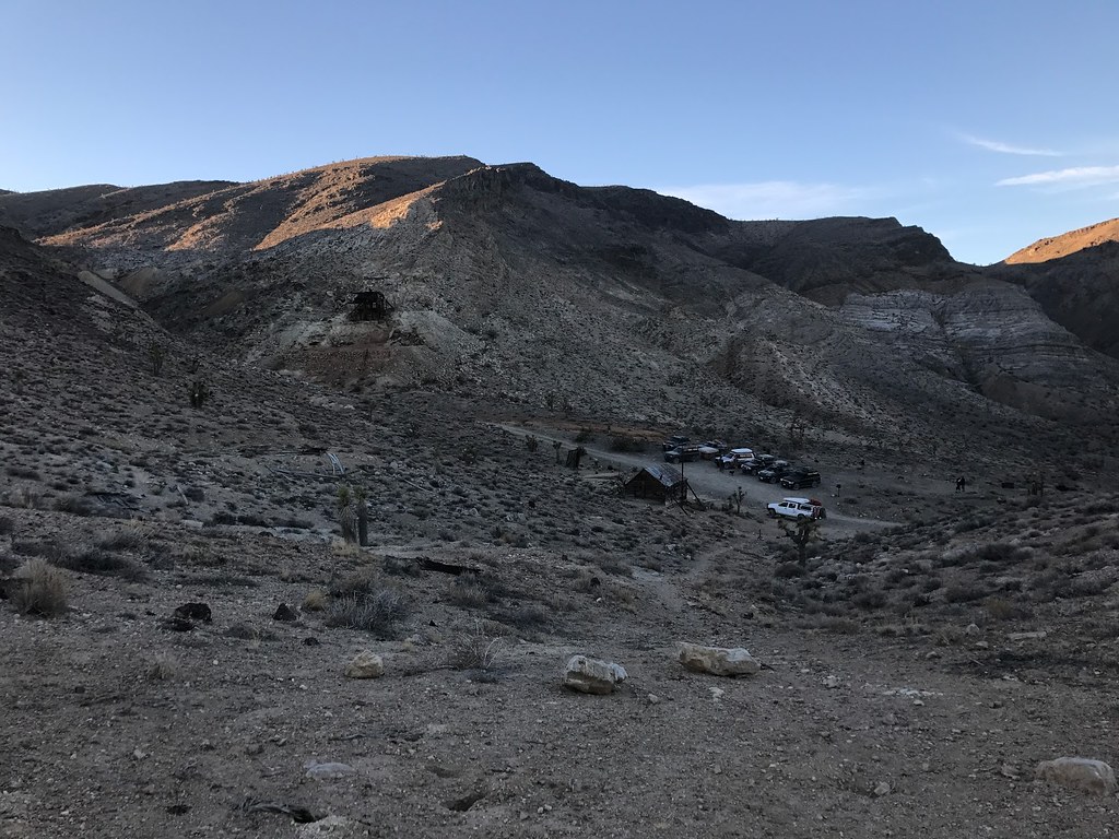
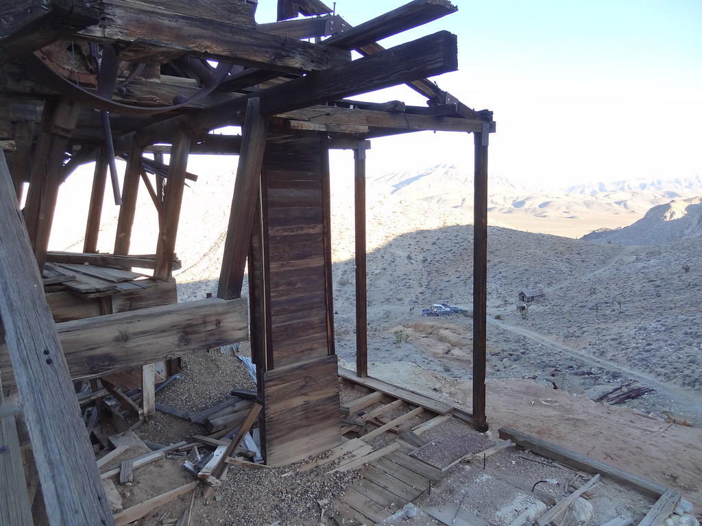
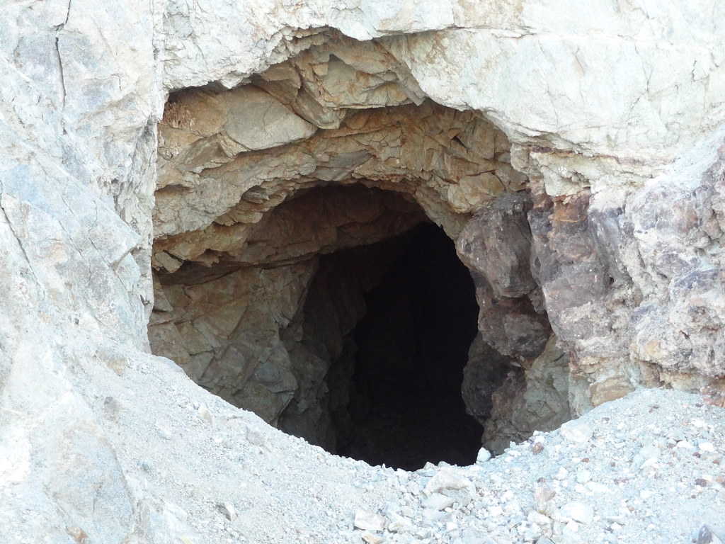
Lost Burro Mine is a hidden gem tucked away in a Hidden Valley canyon. We got a backstory of the mine from the co-pilot of our lead rig, Dakota. She explained that the mine came to be in the early 1900’s, when a down on his luck miner chased his burro up the canyon after it had run off. Towards the top he spotted the stubborn animal and went to throw a rock at it, but noticed that the rock he picked up was gold laced. He purchased the land and started to mine. It was a lucrative mine, active until the 1970’s. Now it is preserved as an adventurer's playground. We explored the still standing buildings and the open mineshafts until the oncoming darkness forced us to leave in search of a campsite.


30752718420_5919439de3_b.jpg

PC: Dakota
31097012035_267b832e6b_b.jpg


30983616671_c7923cc2b6_b.jpg


31061454216_b8fefa4ccd_b.jpg


30752718230_d34b93cbe9_b.jpg

PC: Dakota
30983380021_352b834db7_b.jpg


30730442190_de802603b2_b.jpg


30955278982_af1cbc5e64_b.jpg


30955340522_42f08d6b93_b.jpg


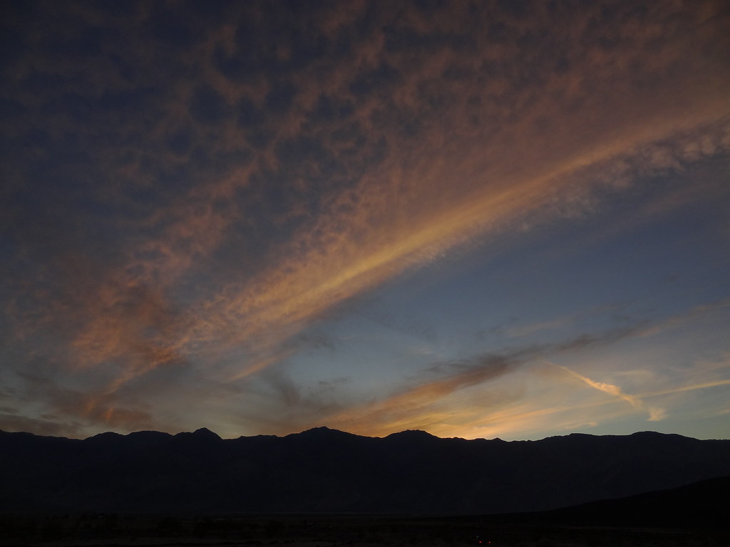
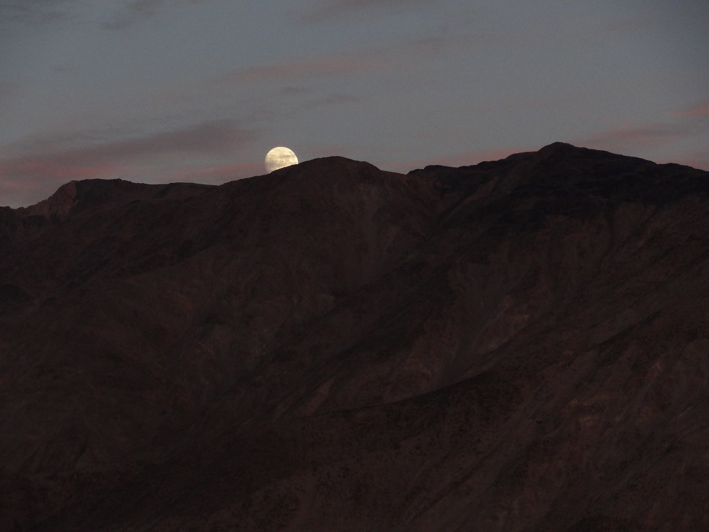
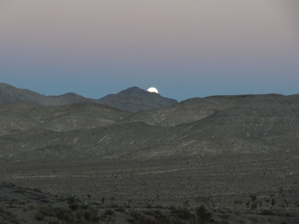
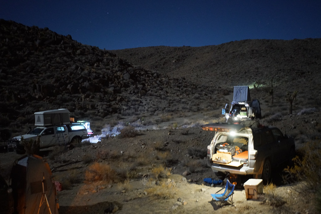
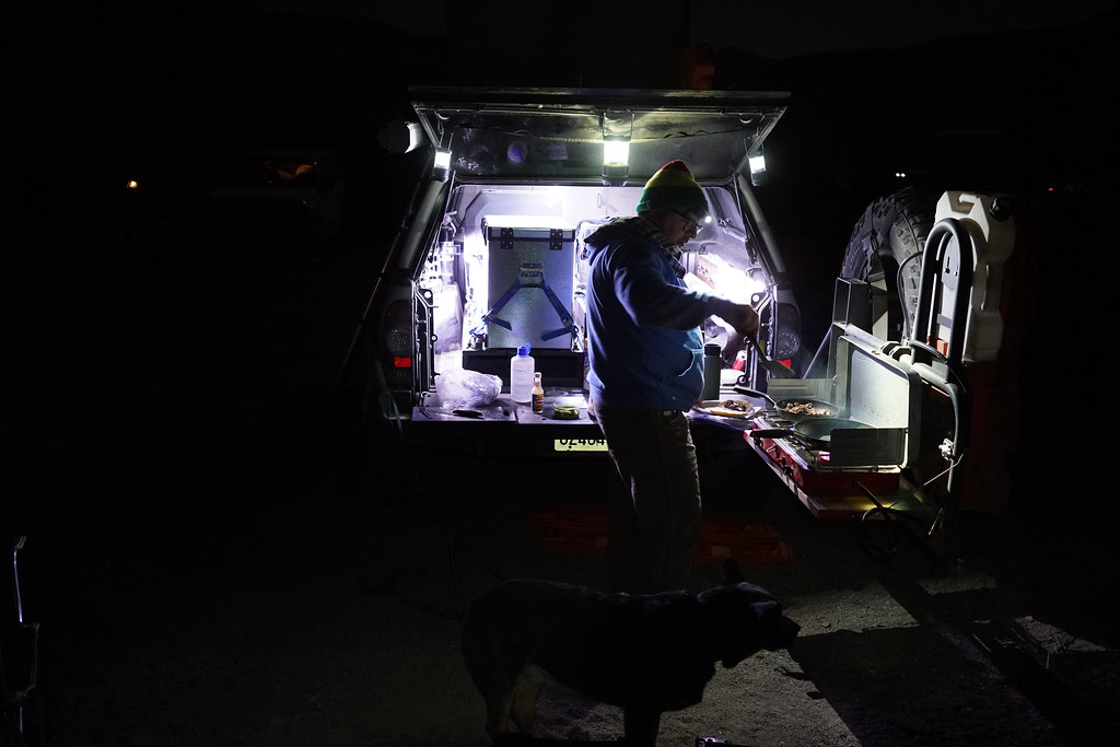
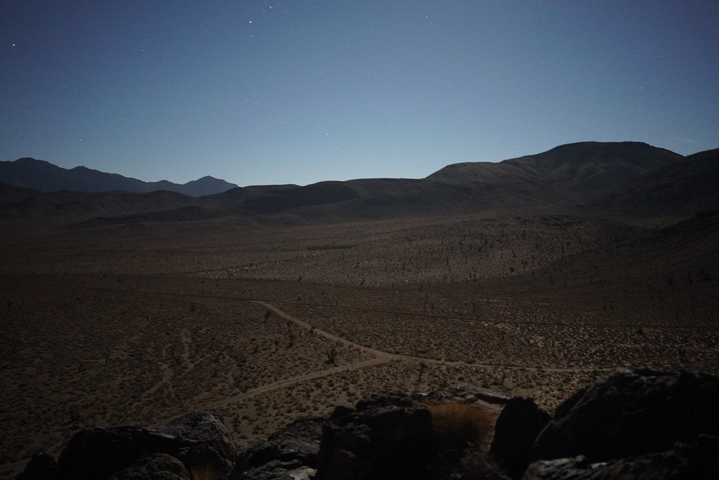
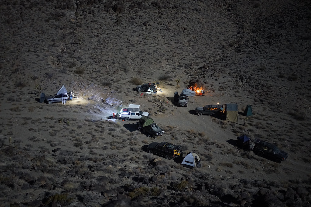
We were fortunate to find a campsite removed from the main road up in a small canyon. We found ourselves surrounded by steep rocks and protected from the evening wind. This campsite was tricky to get everyone situated in, but after a bit of squeezing, stacking, and guiding we made it work. I posted up just above the fire using some well stacked rocks to level me out. It was strange spending time outside when it was getting dark at 4:45pm daily. Your body wanted to eat dinner and get it out of the way, but then you were left in a weird “I think I am tired, but it’s 7 o’clock” limbo. Campfires and good conversation make the time pass quickly when you are in a big group like ours. The November Super Moon turned the desert landscape into a well lit scene, and provided more than enough light to allow us to walk around without headlamps and see far into the valley below. Soon it was 11pm, and just like that, time for bed.


31097478365_e4f6584145_b.jpg


30951716022_d89ba77b56_b.jpg


30980476521_5d9a6421bf_b.jpg


31094220525_3178e02ae0_b.jpg


30952009232_db57a6b6d0_b.jpg


30980095121_753a42f473_b.jpg


Day 4: Hidden Valley to Highway 190
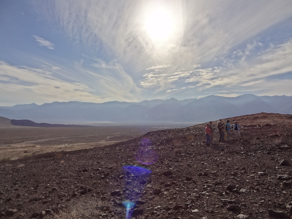
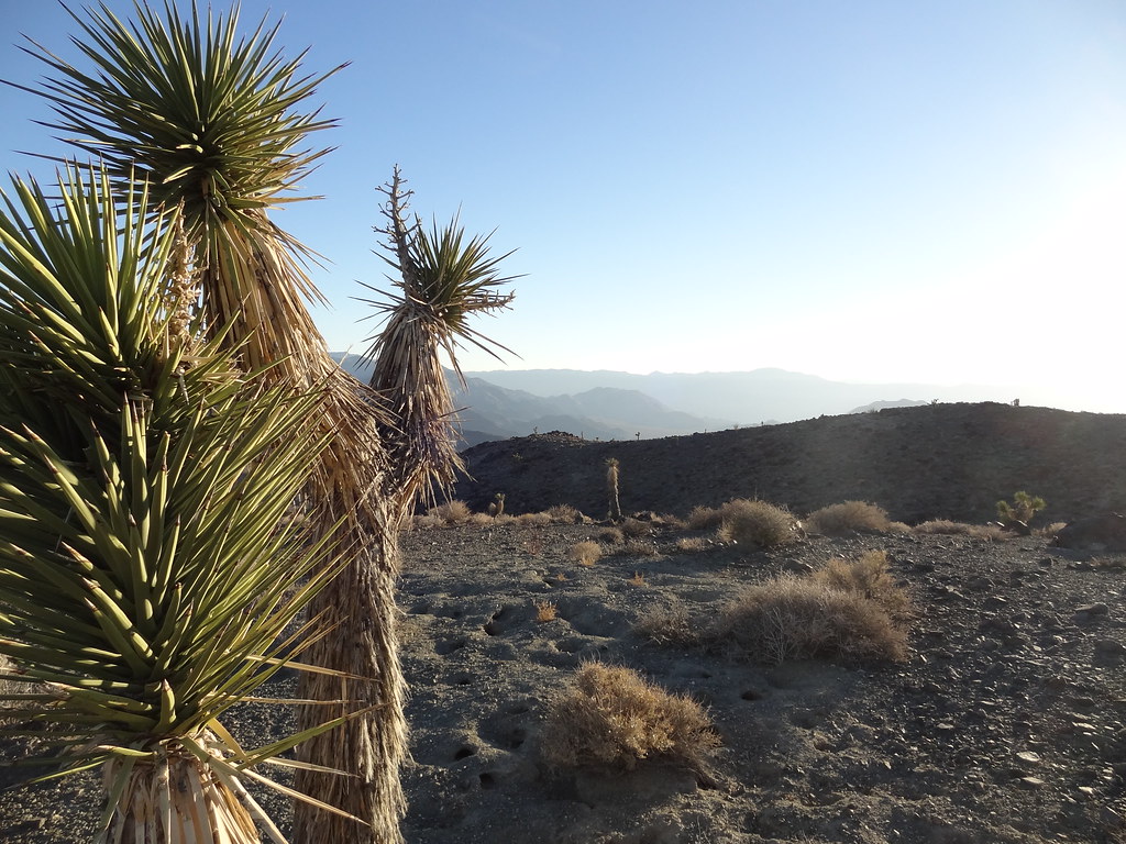
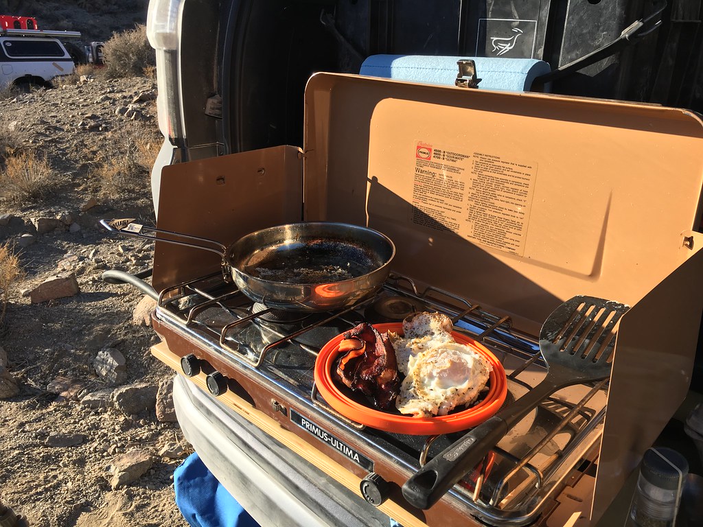
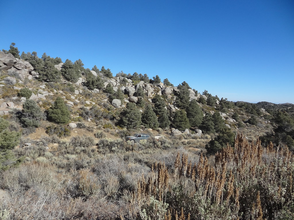
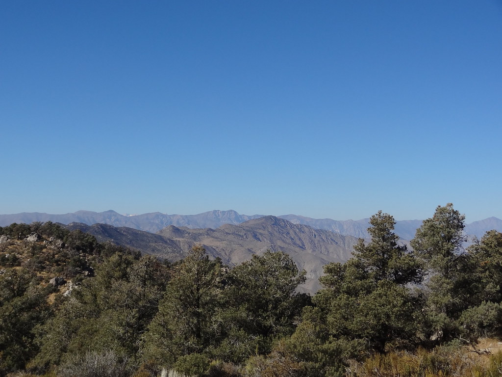
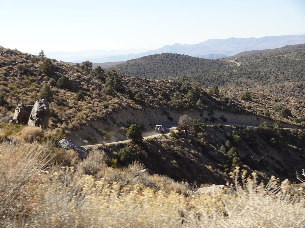
I started the coffee early in the canyon. I found that through the course of the trip my sleeping bag was tolerable, but not comfortable in the cold temperatures. Coffee always helps warm the body, and the rising sun was quick to heat up the rest of me. Eggs and bacon. A trail standard for my breakfast pallette. Seeing as it was the last morning, I spent a bit more time enjoying the time in camp. Soon though it was time to move on if we were to hit the highway with enough time to get home that night. We left our campsite after the daily safety meeting and worked our way south and into the Hunter Mountain Range. I had seen sand, steep mountains erupting from flat valley floors, playas, and a lot of Yucca trees, but going over the Hunter Mountains brought us into a high elevation pine forest just north of Panamint Valley. We quickly climbed 2000’ to our highest elevation of just under 7000’. It was cold, and it quickly became a destination for a future trip.


30523030704_4e5c03dce6_b.jpg


31061779706_c6420a6339_b.jpg


31062163996_198bb14023_b.jpg


30984319881_008cb07d97_b.jpg


31098010425_8f19d5cefe_b.jpg


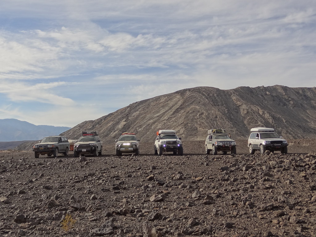
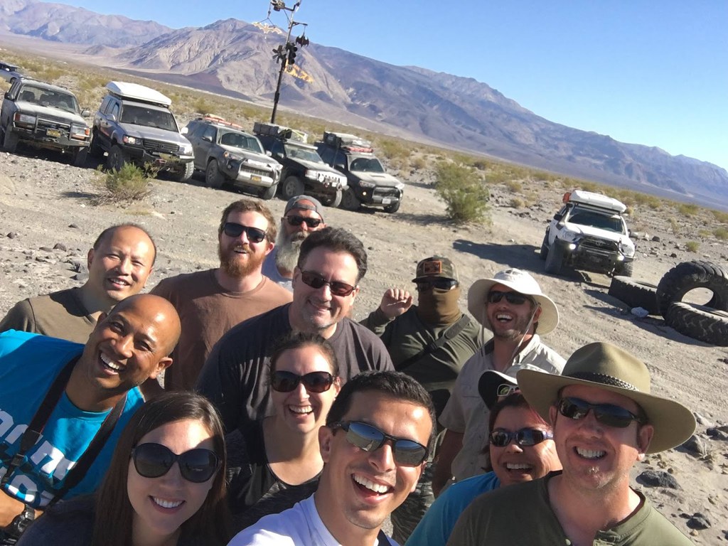
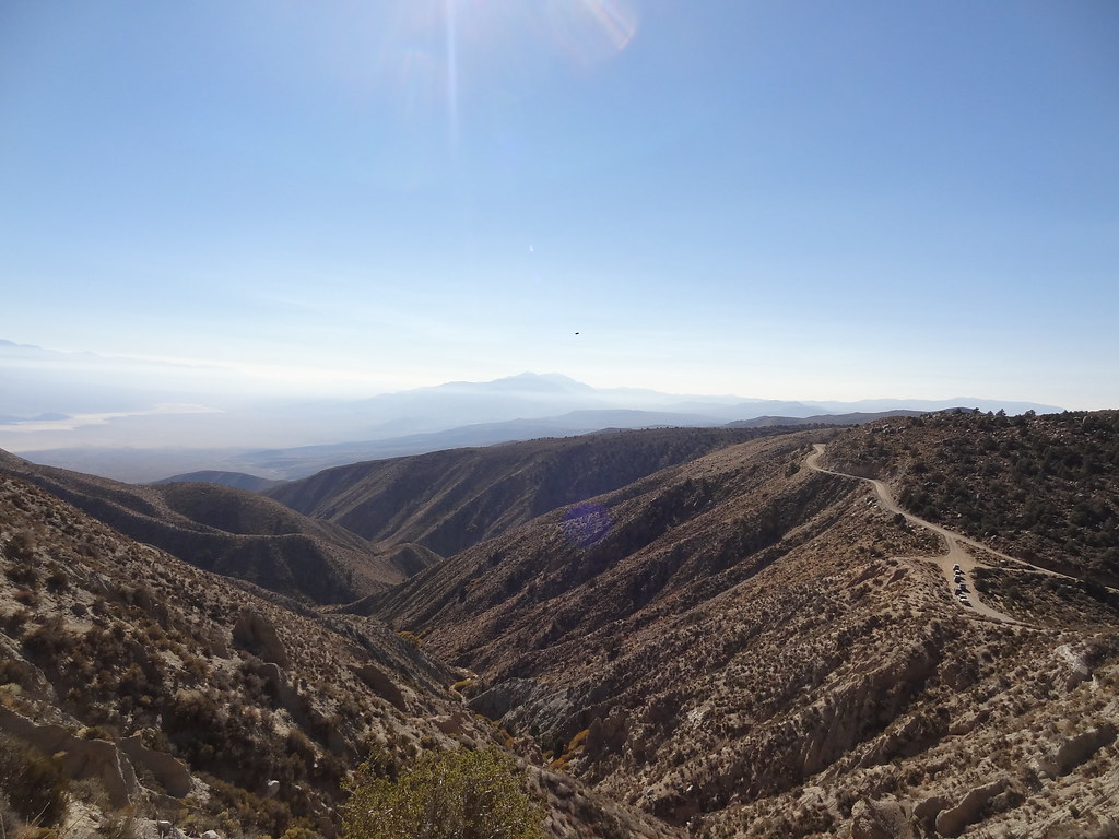
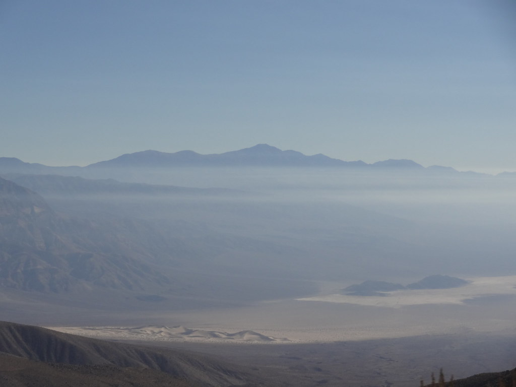
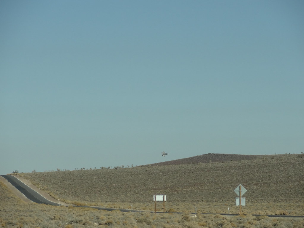
We soon found ourselves overlooking Panamint Valley and the Panamint Sand Dunes. We stopped along the ridge line to take in the view and to take a group photo as we neared the end of our trip. I found out that our group leader Rob, and a surprising amount of other members on the trip were Top Gun buffs. We had been making Mother Goose and admiral’s daughter references all weekend. Someone must have been listening, because right when we were setting to leave the ridge line, we got a close F-18 flyover as the pilot tore through the Saline Valley, over the Hunter Mountains, and into Panamint Valley (doing a barrel roll I might add). Talk about a cool experience that left me speechless. And a perfect ending to the weekend.


30731093500_a1af60e5c2_b.jpg


30955880452_de7ca6dcaf_b.jpg


MTN4RNR

Adventurer
Death Valley - November 2016 (5 of 5)

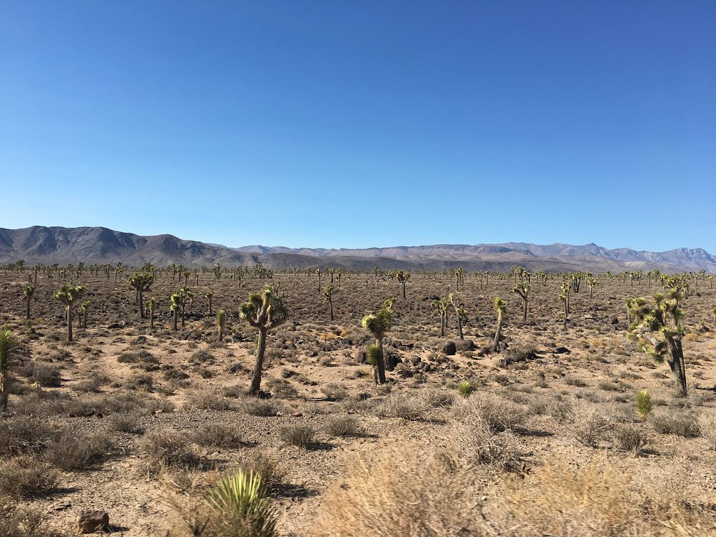
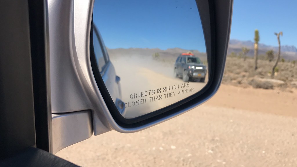
We dropped to lower elevation as we met up with Saline Valley Road which we left the day before. Within a matter of an hour on the trail, we transitioned from desert valley to pine forests at high elevation, and from there to the desert plains that are covered by Yucca trees. This area is truly mesmerizing. When we came to a long straight stretch on the road, I tried to outrun Rob's V-8 powered 100 Series, but I was soon met with a loud rumble as he scooted past me and left me literally in the dust before we stopped for a quick group photo.


30752419220_123a7febb1_b.jpg

PC: Adalto
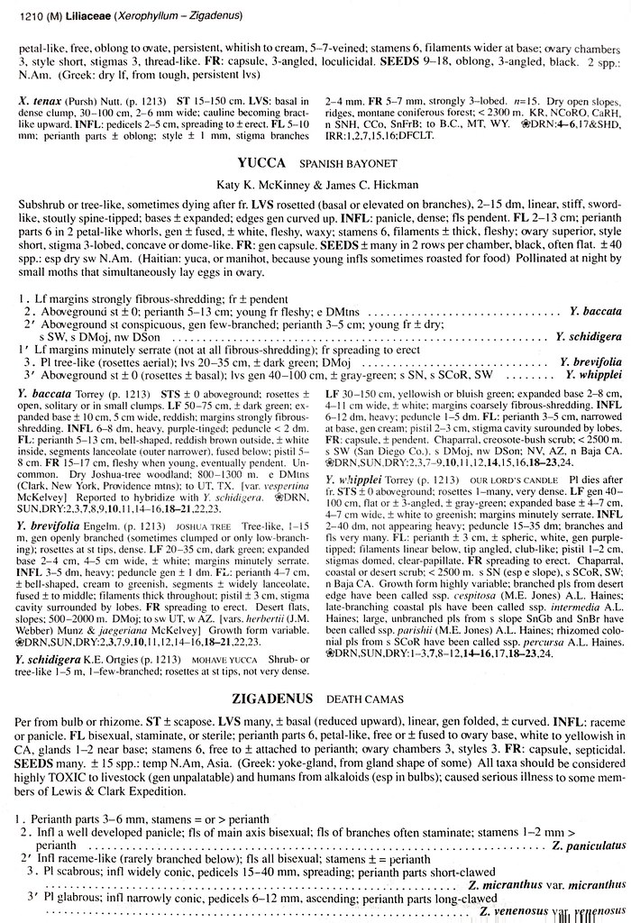
Side Note:
31240083370_e40a37e298_b.jpg

A cool article on Yuccas: Yucca Article
30984475891_9d1b965905_b.jpg


30555593704_d6326d6626_b.jpg

PC: Dakota
30291589473_3b1a9939a6_b.jpg


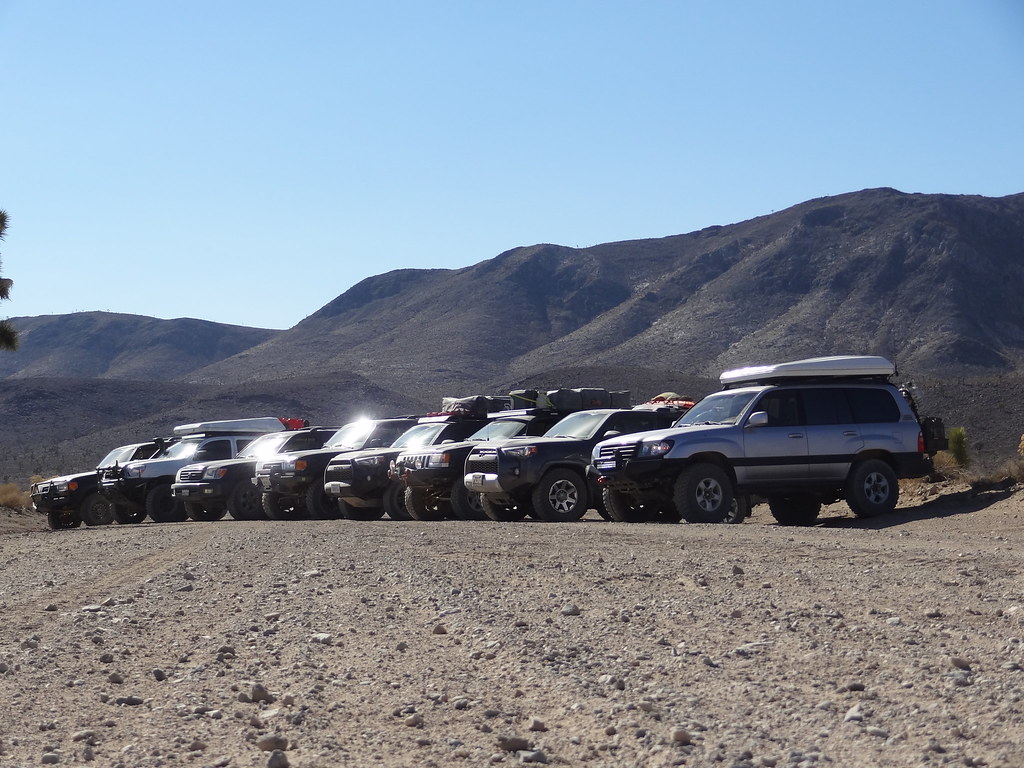
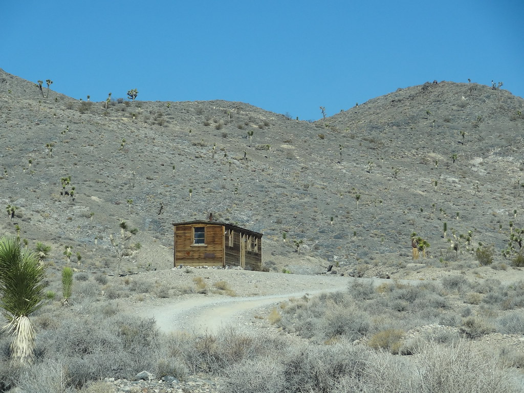
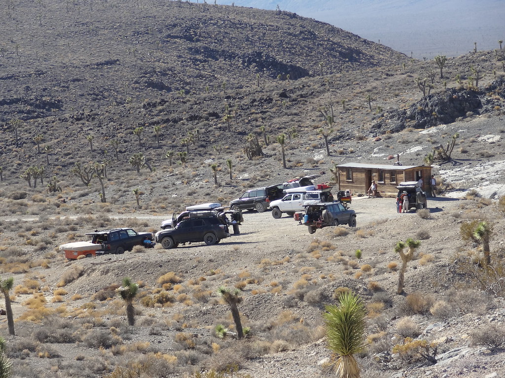
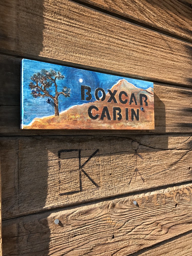
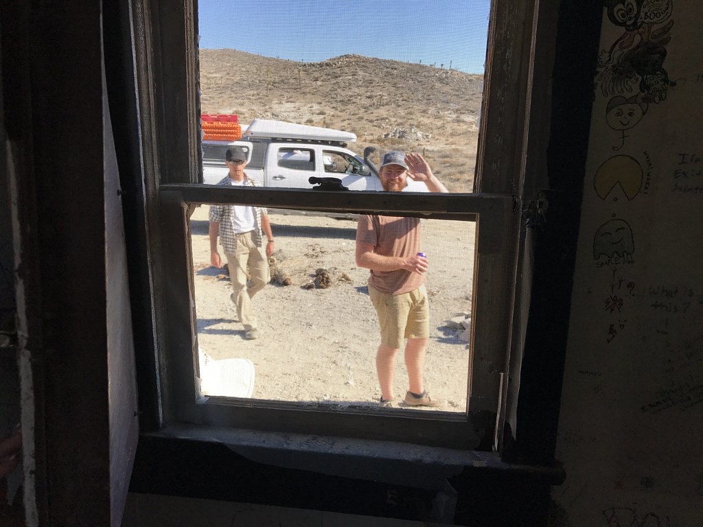
Our last stop for the trip was the famed Boxcar Cabin, where we would take some time to look around the many, many notes and drawings, and have some lunch. It was really cool seeing notes from people and groups that had been coming to the cabin for decades! If you are lucky enough to stumble on this hidden Death Valley gem, be sure to stop in and check it out.
30956092572_a4e7519266_b.jpg


30289876794_63d493dda3_b.jpg


30569413373_39c0314511_b.jpg


31232763992_3dd7f9d0d3_b.jpg


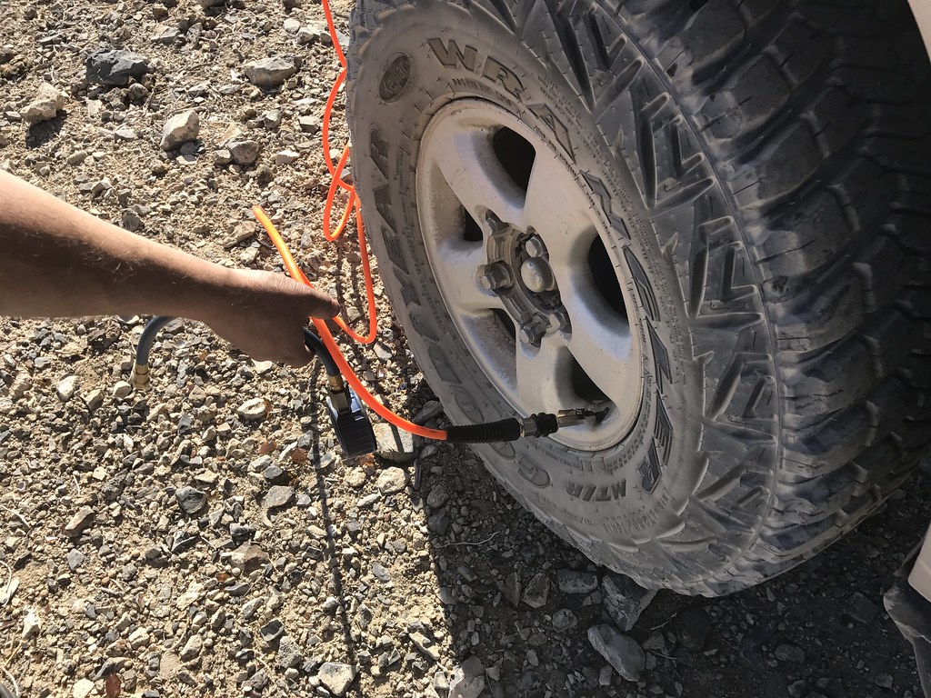
From there, we split up. A number of rigs went ahead to air down where the dirt hits the pavement, some hit the road ASAP to get home in a timely manner, and the rest decided to air up at the Boxcar. It was the last of the dirt that we would see on this trip, but it was a fun and fast cruise to meet up with Highway 190.


31009129920_99caa89894_b.jpg

PC: Dakota


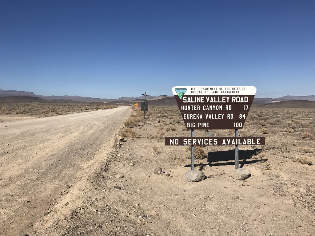
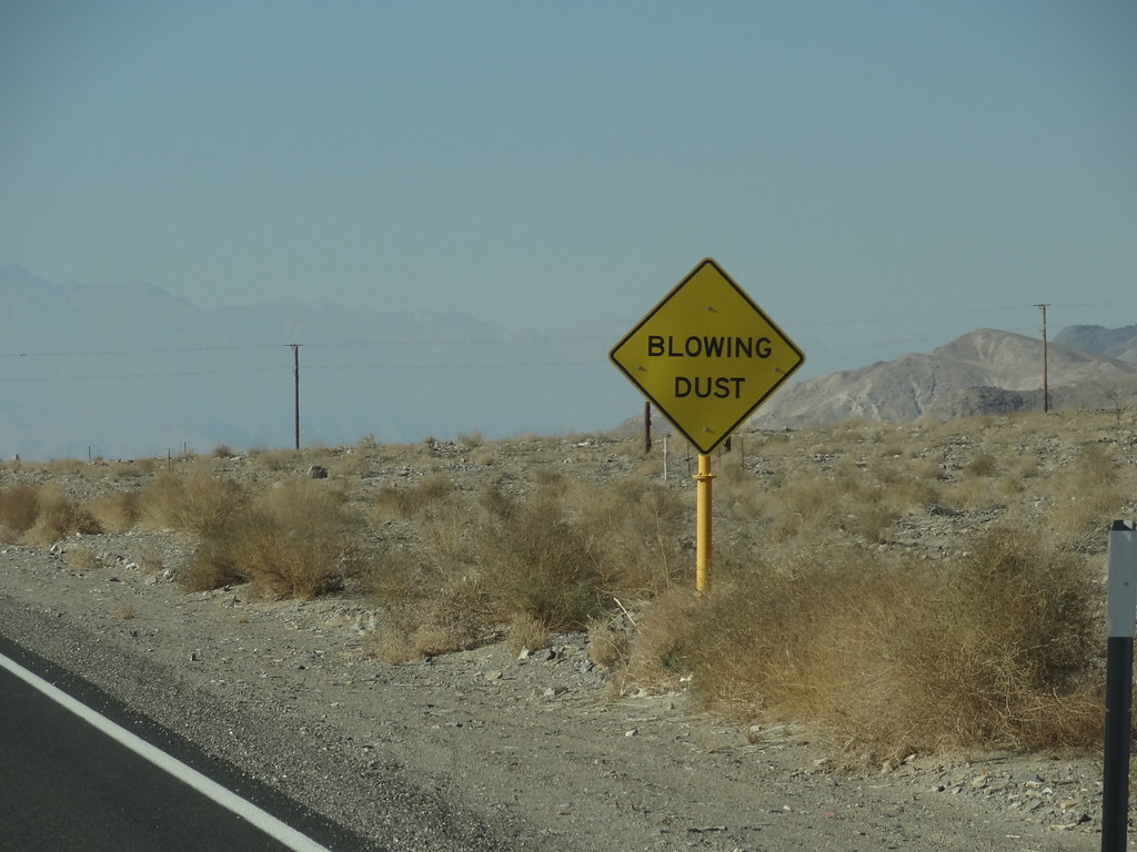
As we pulled over to do some vehicle look overs, and to wait for the remainder of the group to finish airing up, Dakota spotted and took a photo of the Saline Valley Road sign that did a pretty good job summing up our journey. Oh, and we got an F-35 Lightning flyby, which was really awesome.


30291703323_96fd55b52c_b.jpg


30555705484_029aceed47_b.jpg

PC: Dakota
30956168312_32efd17980_b.jpg


This marked the end of our trip through the desert. 150 miles, 10 moving hours, and 10.5k of ascent; all on dirt. This is the longest track that I have saved to date, and all of it makes me want more desert. We cruised down the smooth Highway 190, which at highway air pressure was incredibly weird feeling after so many miles of washboards and rocks. The remaining group fueled up in Lone Pine before setting out on the long trek home. Not before stopping in Bishop for a celebratory beer/food stop.


30731487490_bfc712a533_b.jpg


31062711576_195941b13e_b.jpg


31233524262_62702e97a0_b.jpg


My first trip to the desert was eye opening to a new environment that has so much to offer. I learned new things, saw some amazing places and in the years to come, I plan on exploring many more miles of this area. Sierras in the summer, desert in the winter; I get it now.


30993685362_4b1e8c320a_b.jpg

30336632293_666da0b66b_t.jpg


Last edited:

ETAV8R

Founder of D.E.R.P.
Nice report. Sounds like DV has caught you and you will never be the same. I've never been the same since I first gazed down on Butte Valley from high in the Panamints.
I asked my friends what I was looking at...the answer came with deep inflection...
DEATH VALLEY!
 

MTN4RNR

Adventurer
epic report Max, well worth the wait ....
Well Done - Goose.

Thank you both very much :sombrero:

Nice report. Sounds like DV has caught you and you will never be the same. I've never been the same since I first gazed down on Butte Valley from high in the Panamints.
I asked my friends what I was looking at...the answer came with deep inflection...
DEATH VALLEY!

It was an awesome trip in a new place. I can't wait to head back to explore more of what the desert has to offer.
 

Forum statistics

Threads
188,310
Messages
2,905,298
Members
229,959
Latest member
bdpkauai
Top