WeeJeep2
Adventurer
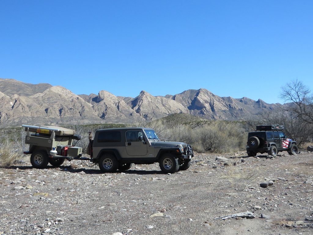
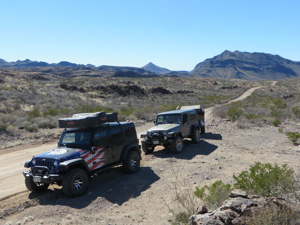
This trip report is a little past being current, but covers a good portion of the park so I thought I’d post it up. We had reserved 4 nights of back country sites in Big Bend Ranch State Park in TX for early February, 2014. It is generally a quiet time of the year in the park. There is a major mountain bike festival in the park later in the month that tends to attract a large crowd. We timed it to be in and out before that happened. Our traveling companions, in a JKU with roof top tent, were making their first tour of the park and escaping the colder winter climate in their home state of CO.
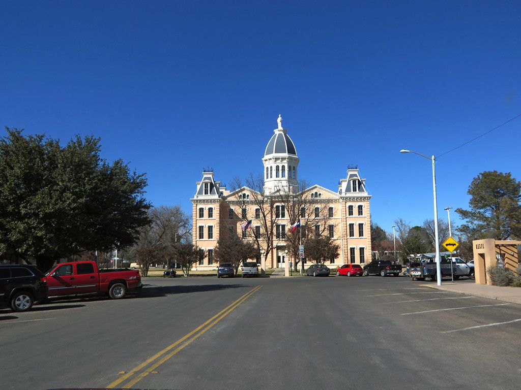
We made our trip rendezvous in Presidio, TX just to the West of the park around noon. It is the best place to top off the fuel tanks and last minute food items as there is no fuel in the park and limited food.
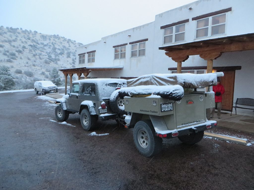
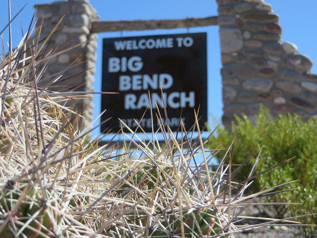
We headed in on the 22 mile dirt road toward the ranger station. The entry sign and information kiosk is about 8 miles in. If you arrive late and don’t have your camping permits it is also a place you can camp for the night with rest room facilities.
-
-
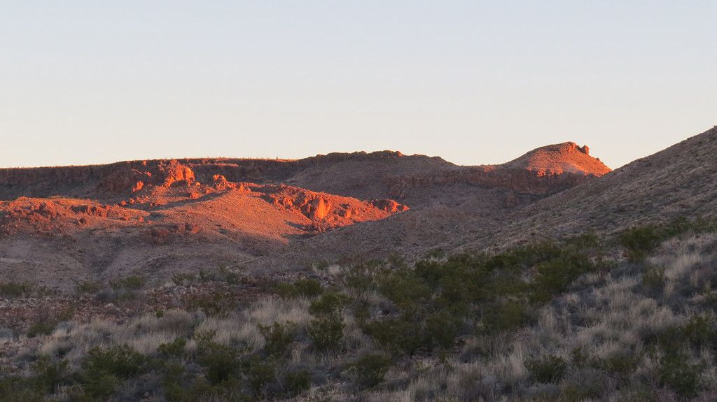
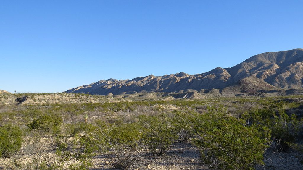
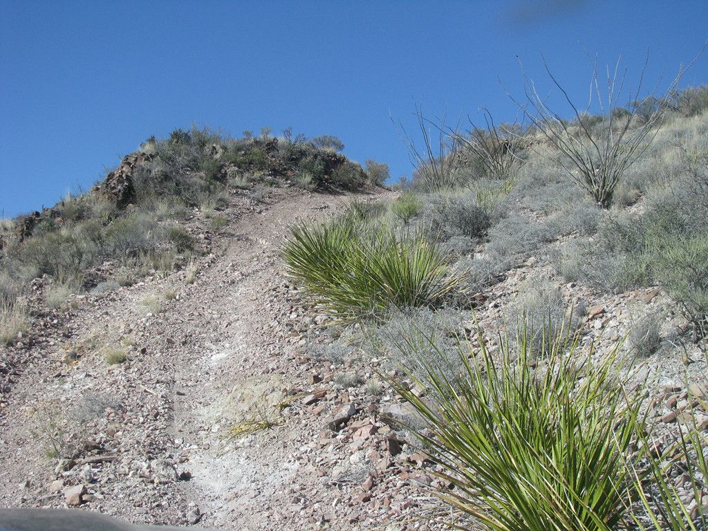
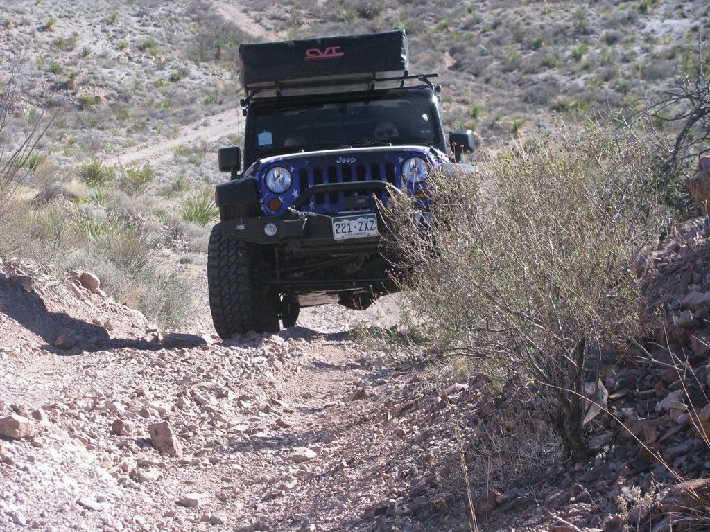
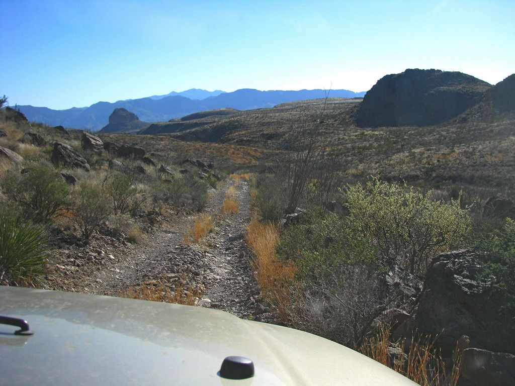
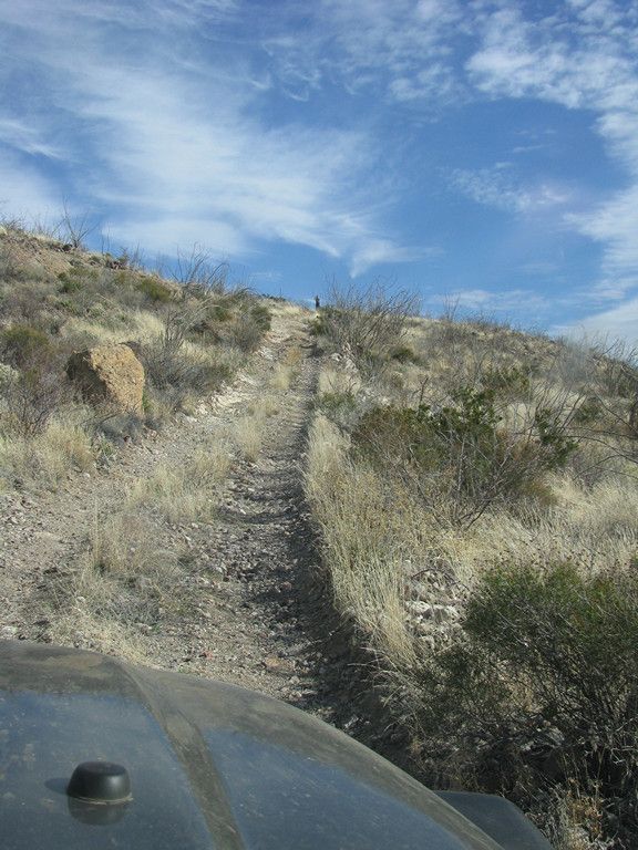
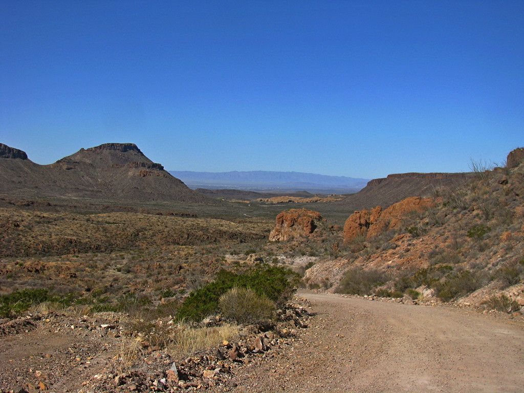
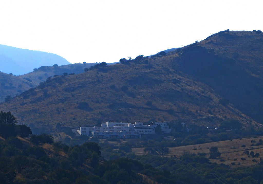
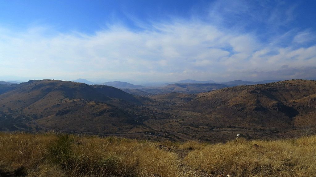
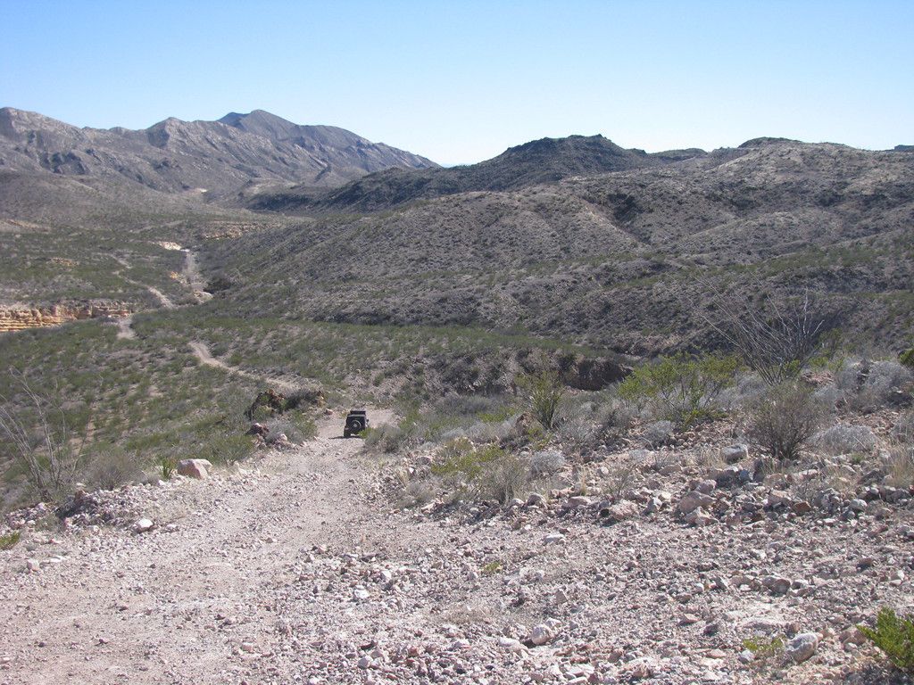
From there the road winds up and around the hills for the remaining distance into the ranger station. There are plenty of opportunities to pull over and check out the views.
-
-
We made our stop at the ranger station to check in, review the required back country regulations, (bring your own toilet facilities), etc. and were off to our first night campground at Tres Papalotos.
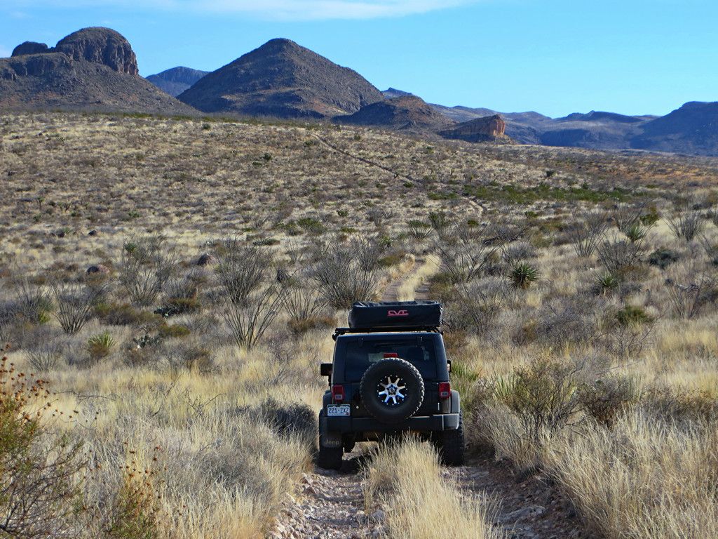
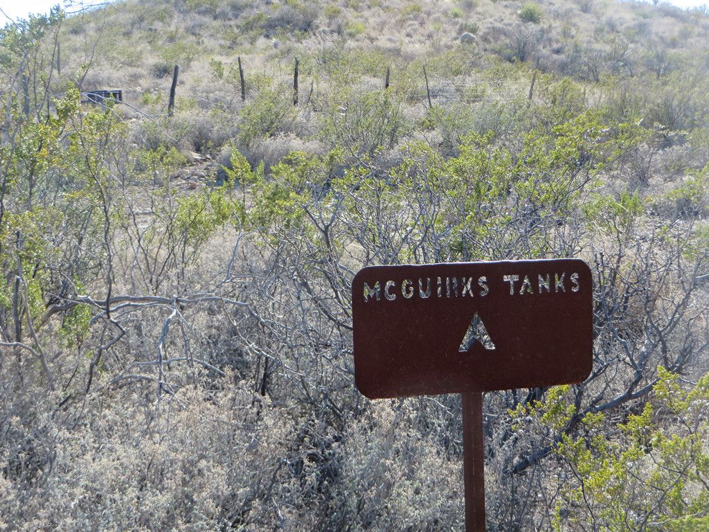
On the way in we took a detour to the east to explore McGuirks Tanks Campsite and the area around it. There are several old ponds (tanks) that were all dry and some narrow trails to explore.
-
-
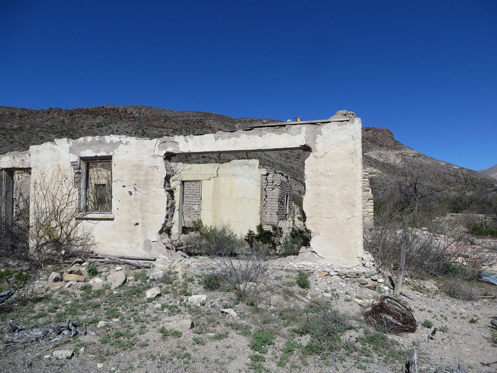
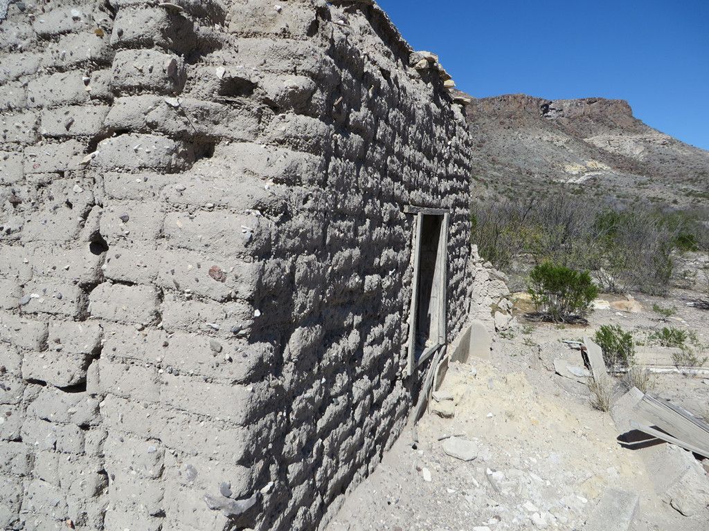
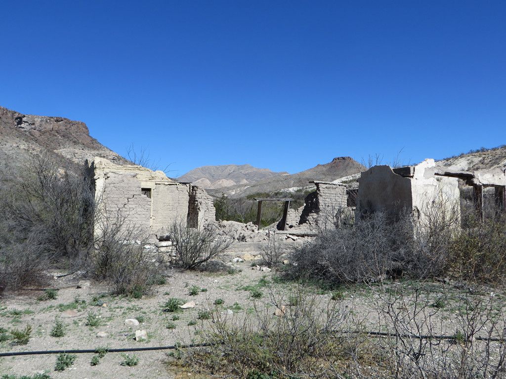
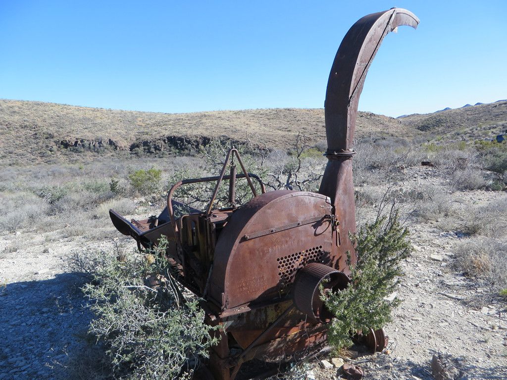
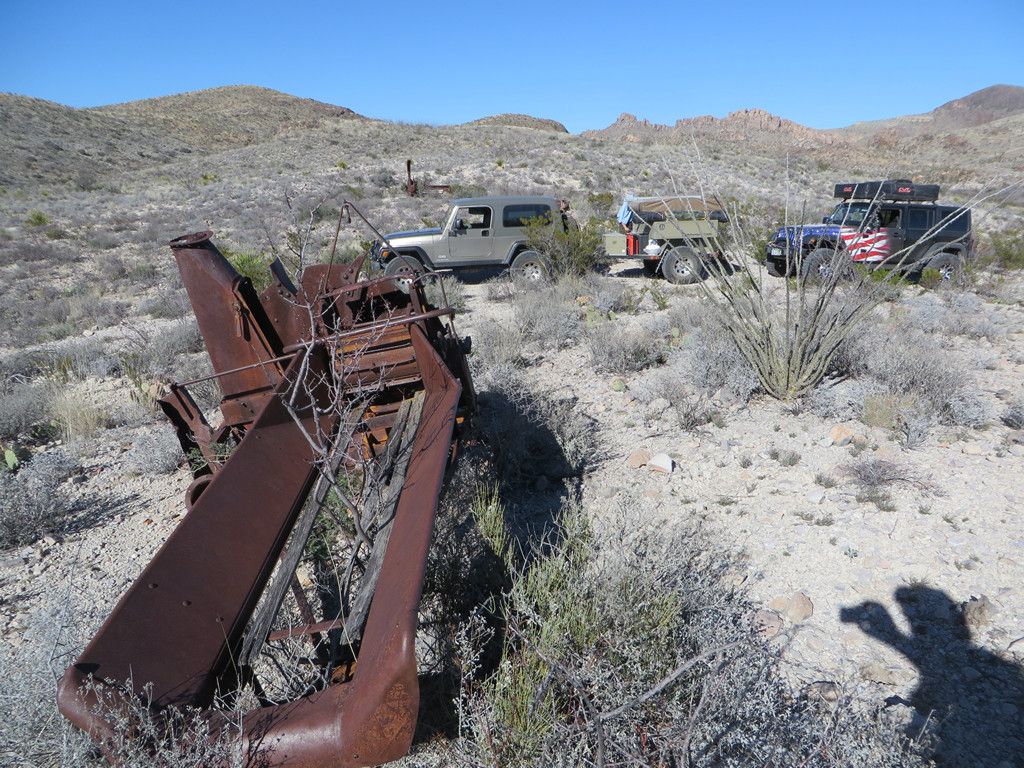
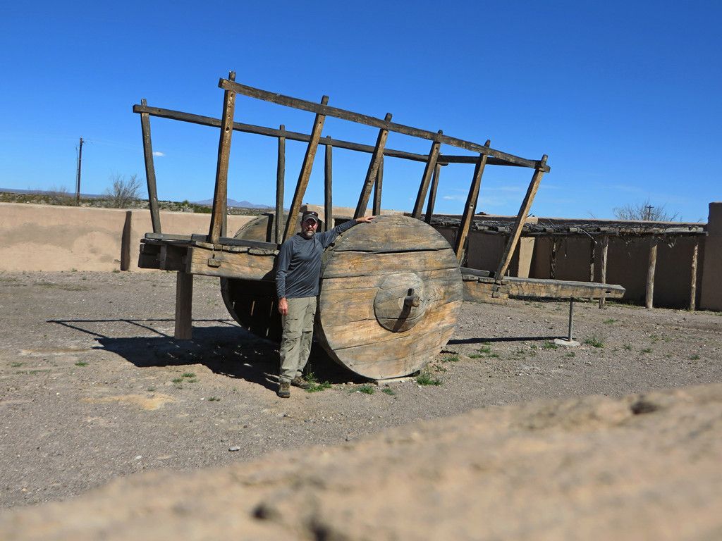
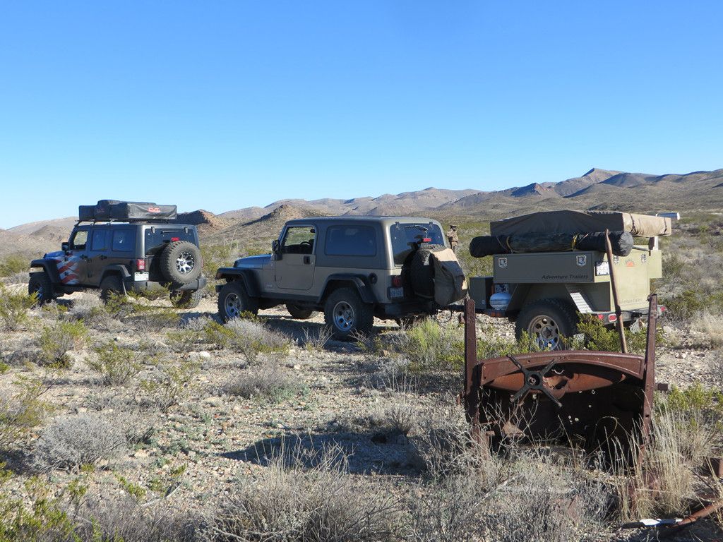
We passed some old ranching remnants on the way.
-
-
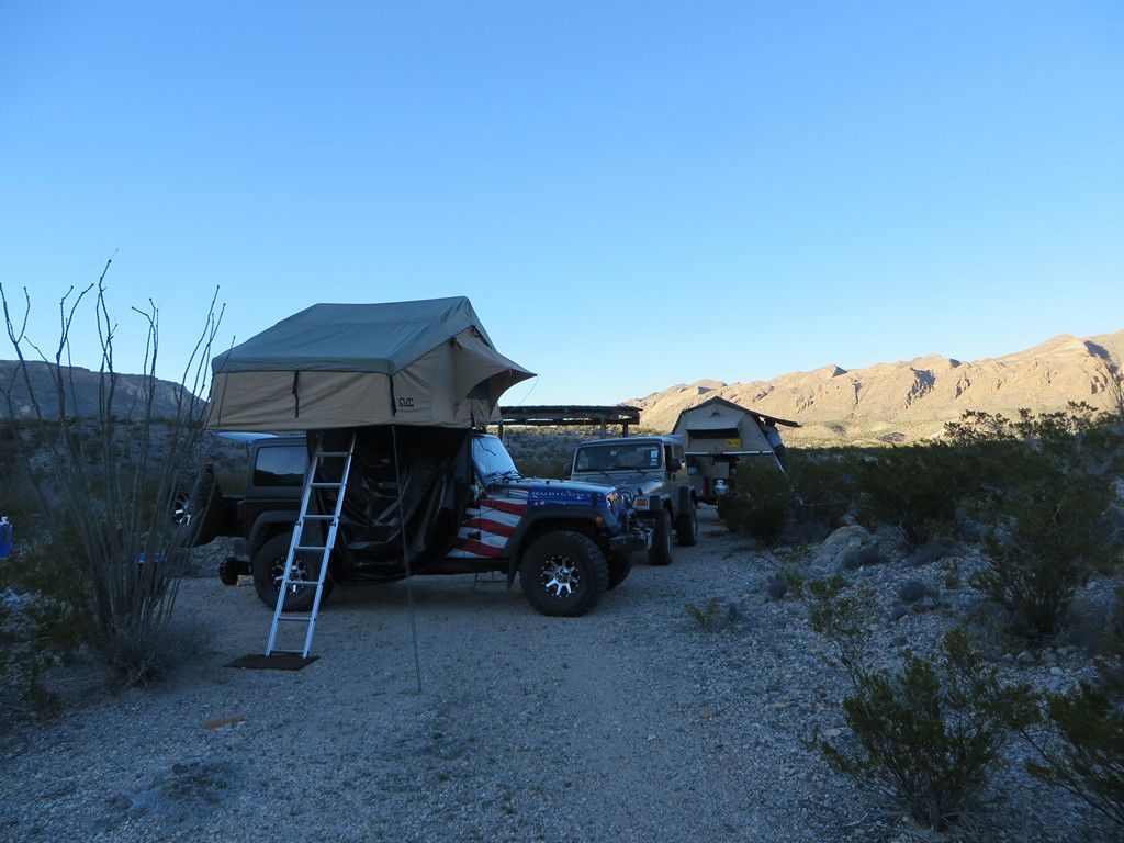
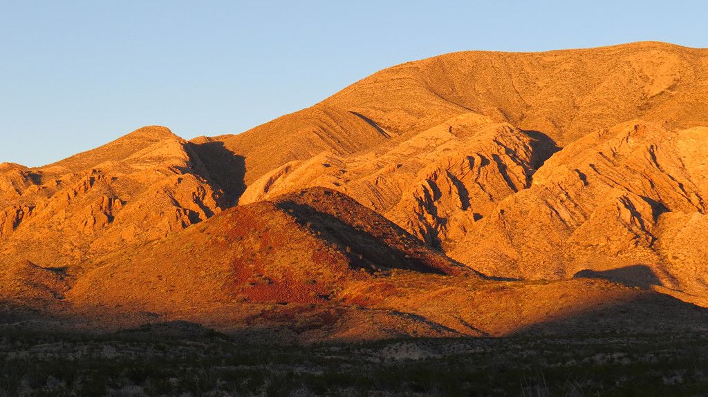
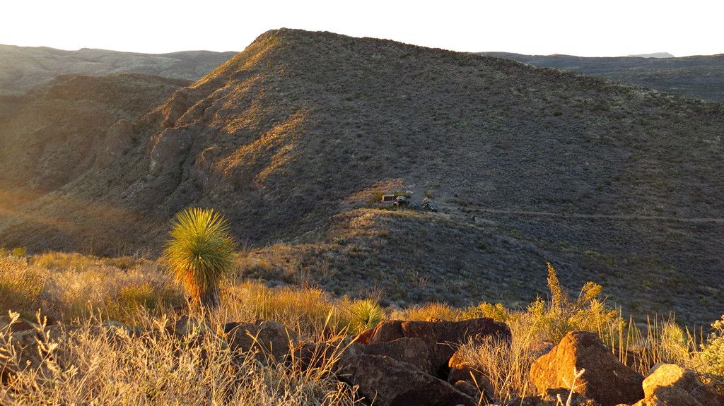
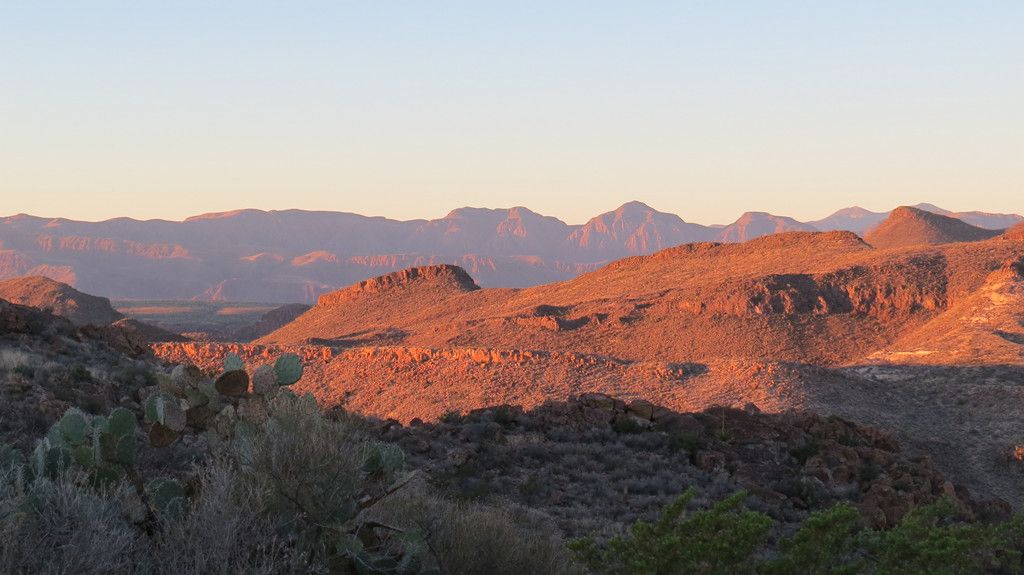
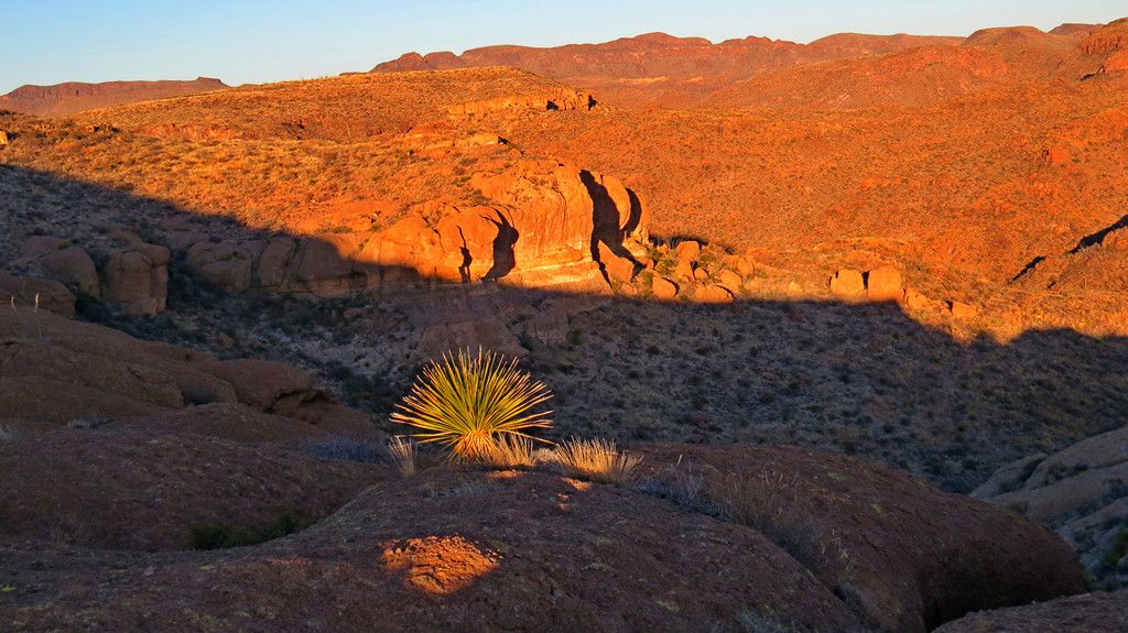
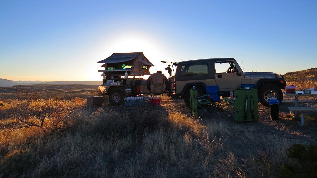
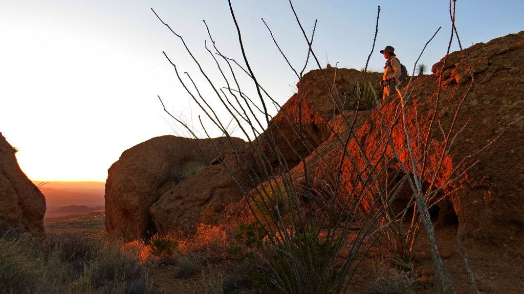
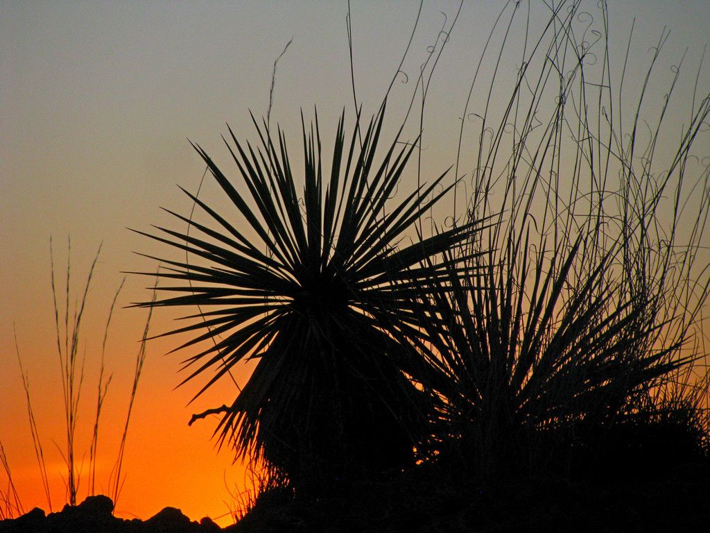
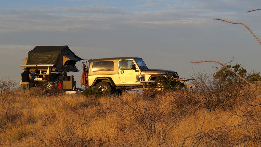
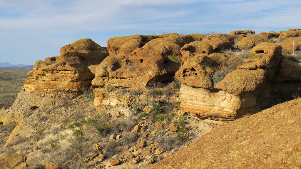
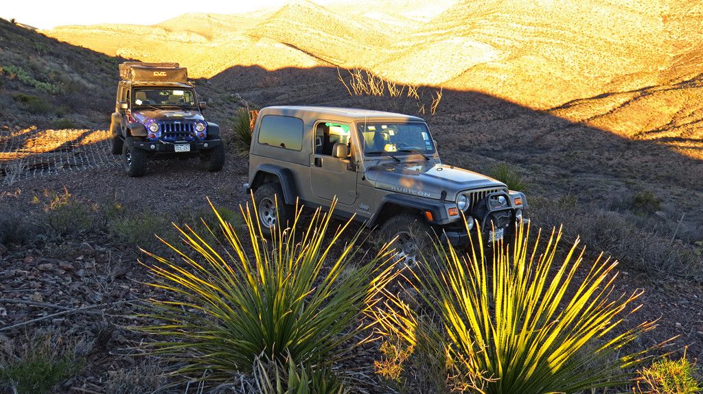
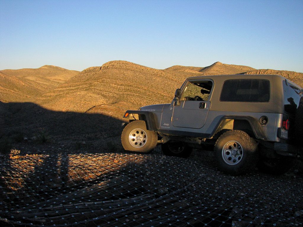
Before setting up camp we dropped our trailer and ran up to one of the old uranium mines at the top of a hill nearby to catch sunset.
-
-
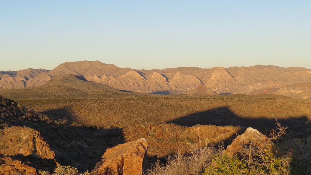
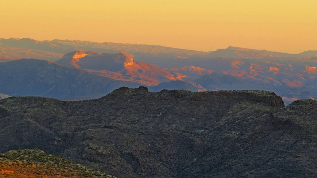
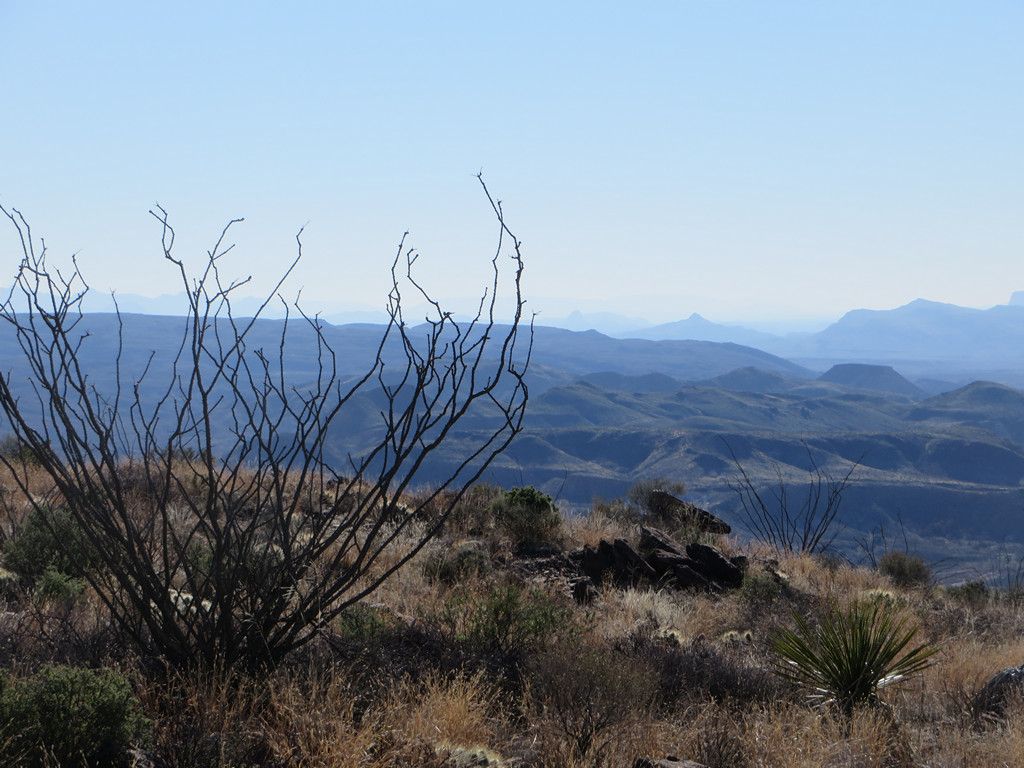
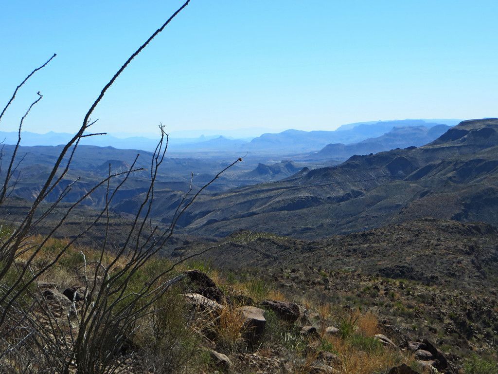
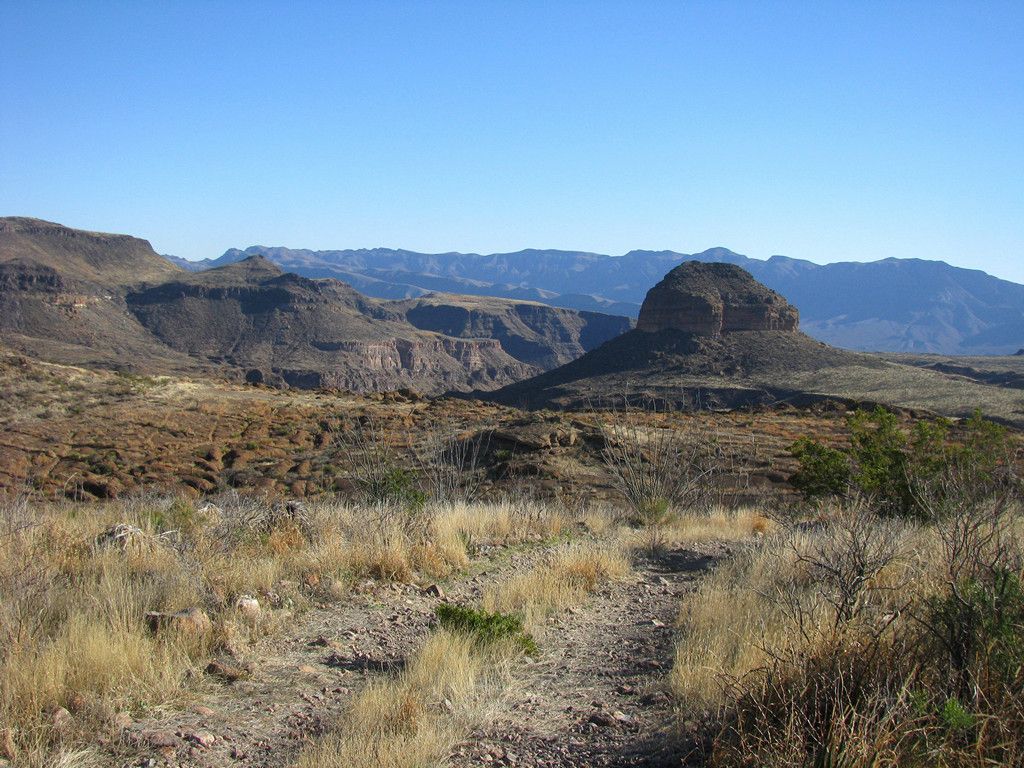
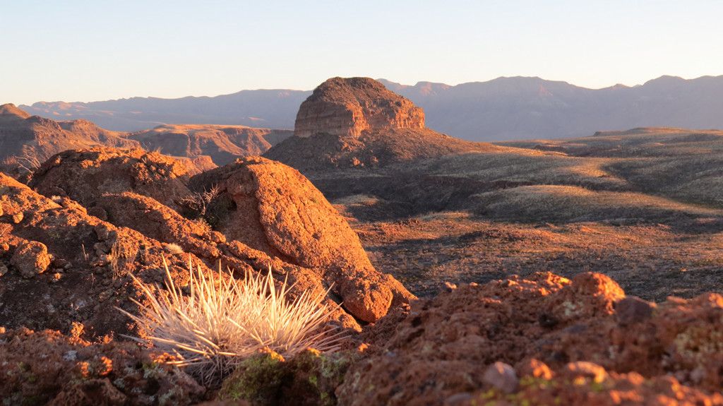
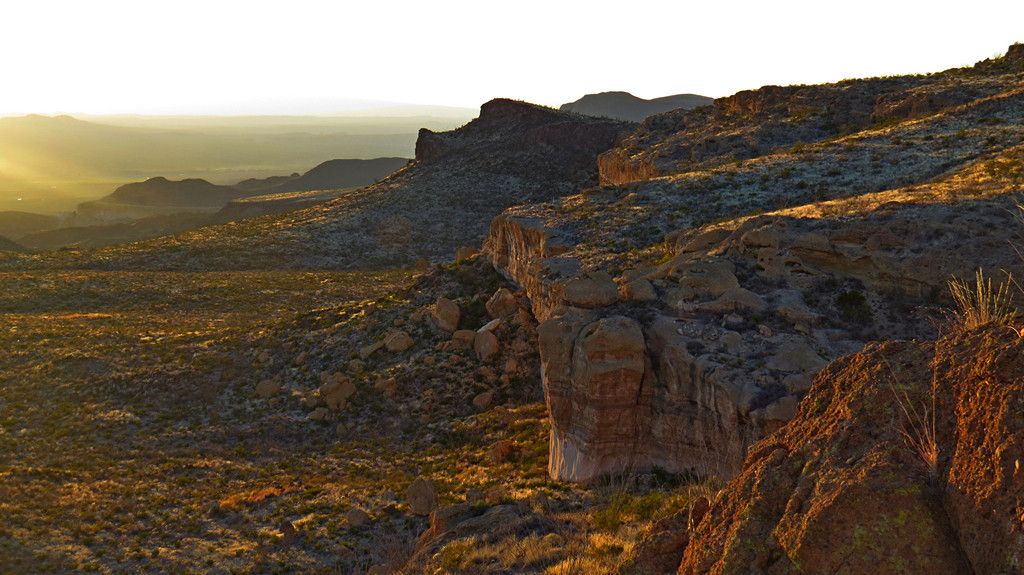
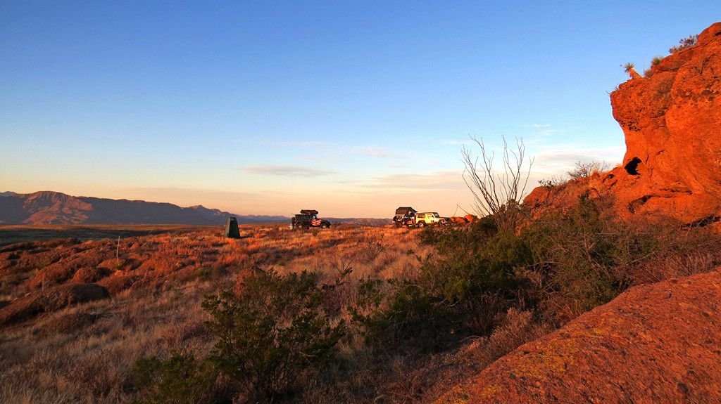
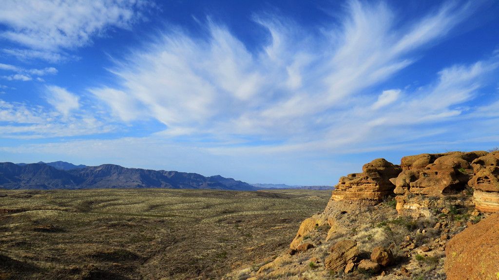
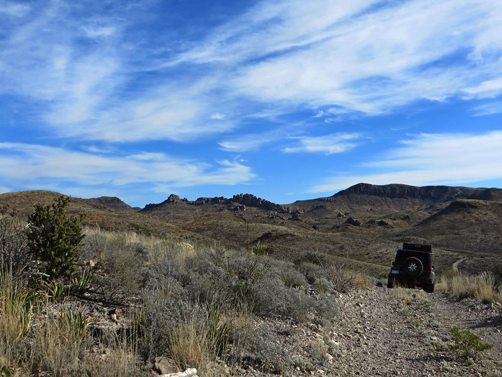
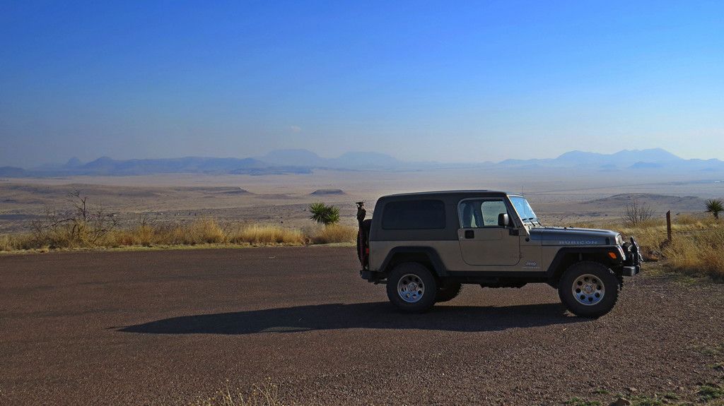
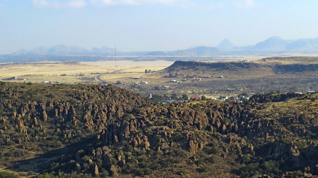
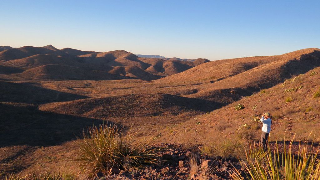
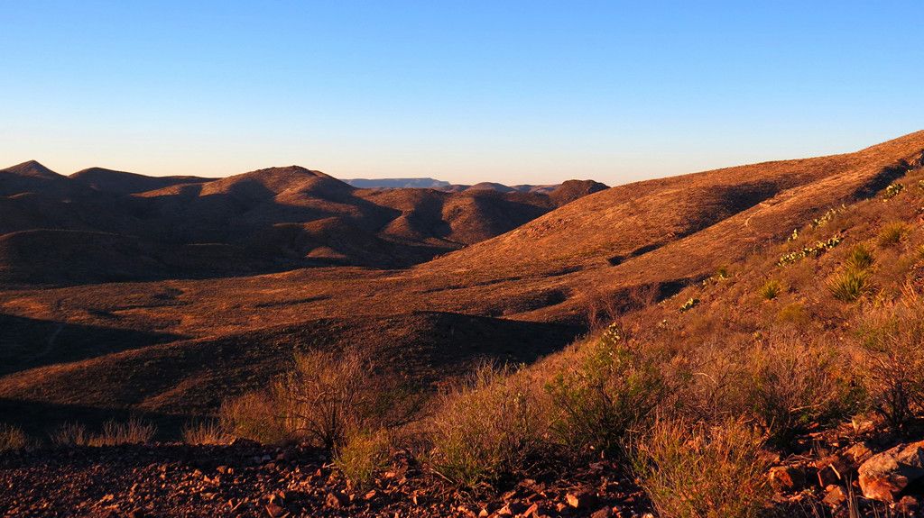
Great vistas of the area we would be exploring for the next few days.
-
-
-
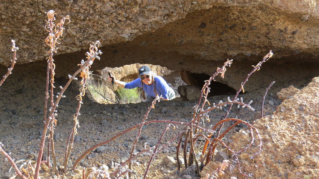
There is not much room to turn around up top. More than 2 vehicles and it would be a challenge to maneuver unless you want to try out the strength of the wire mesh over the mine opening.
-
-
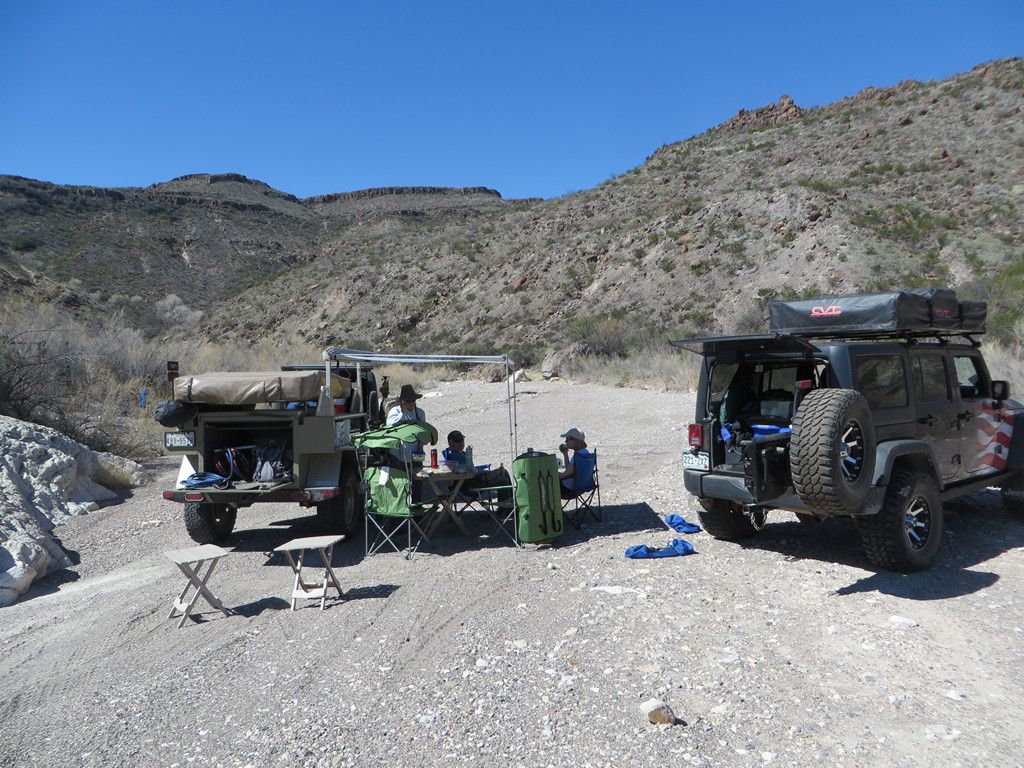
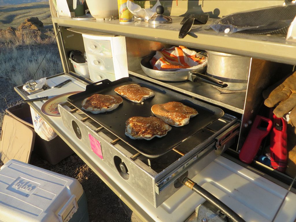
As it was getting dark we headed back down to set up camp and sit around a campfire for dinner (fires are allowed, bring your own wood).
-
-
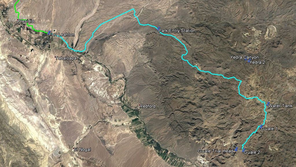
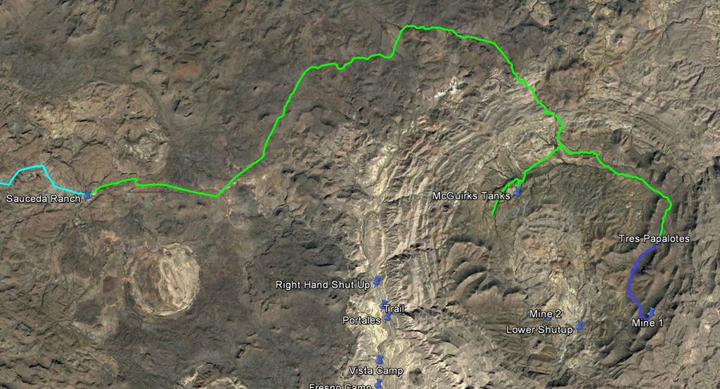
Trip log from the ranger station in to camp.
-
-
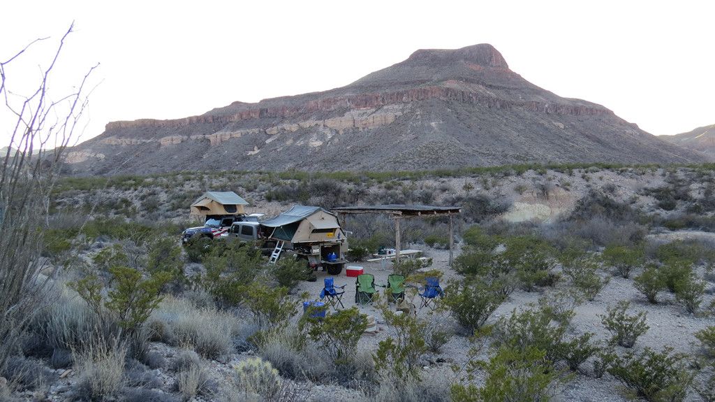
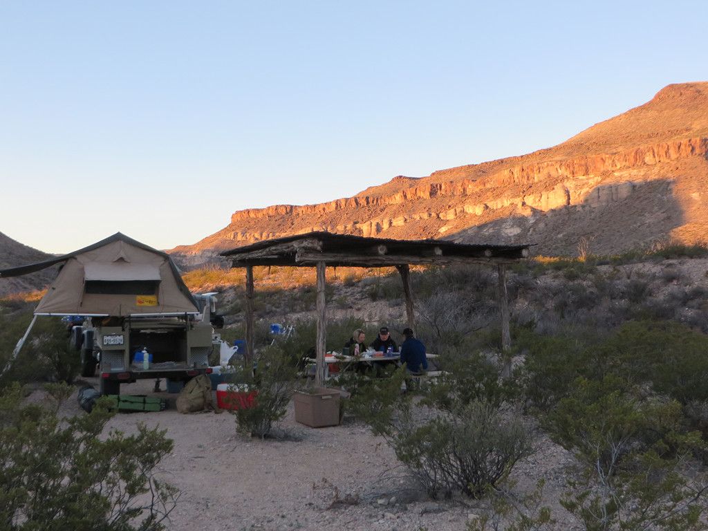
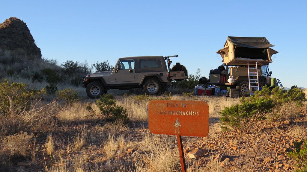
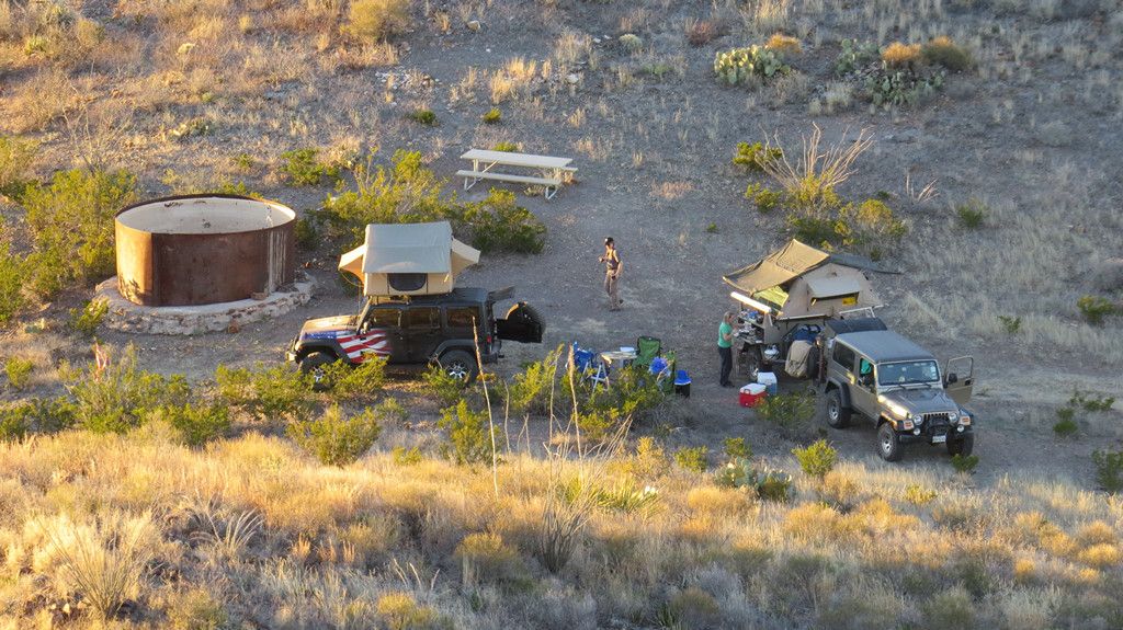
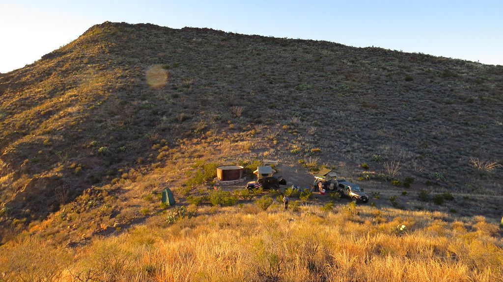
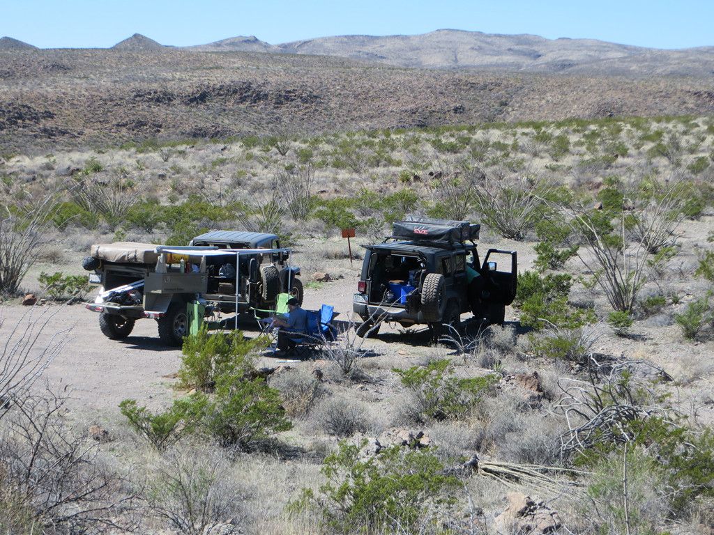
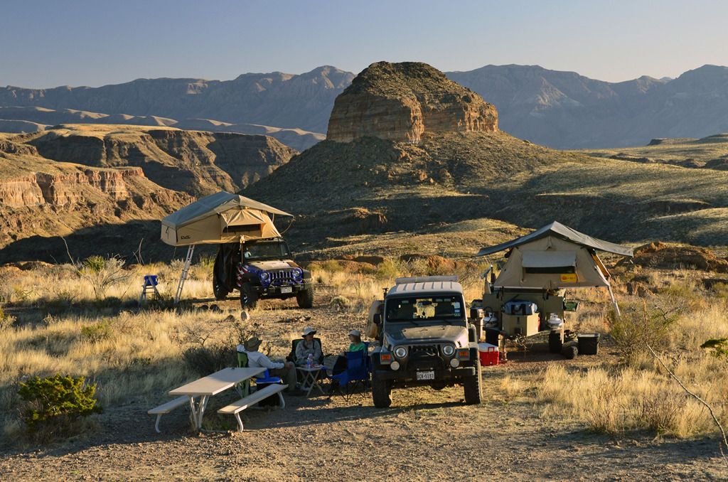
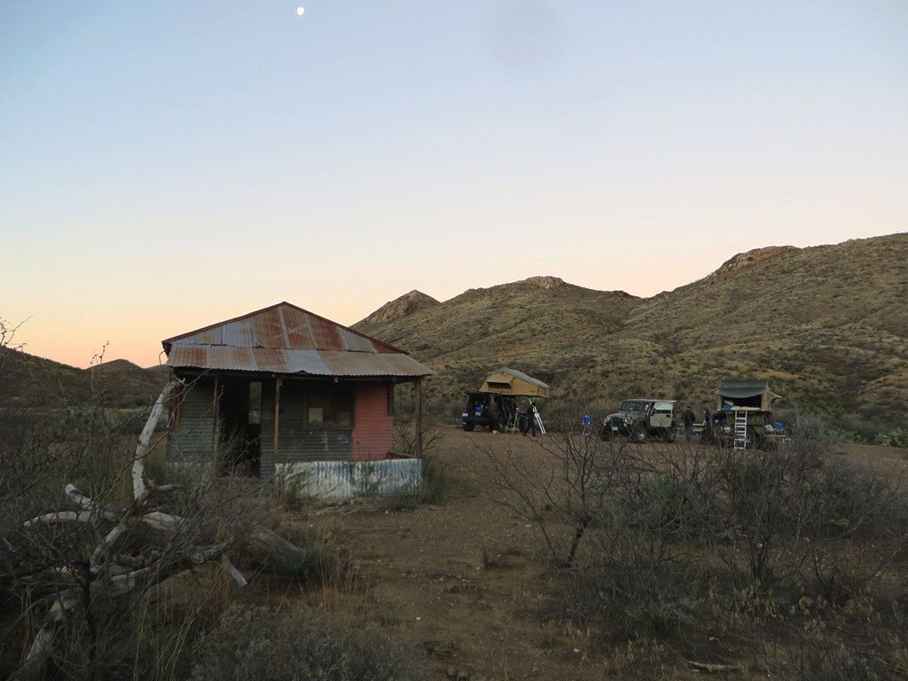
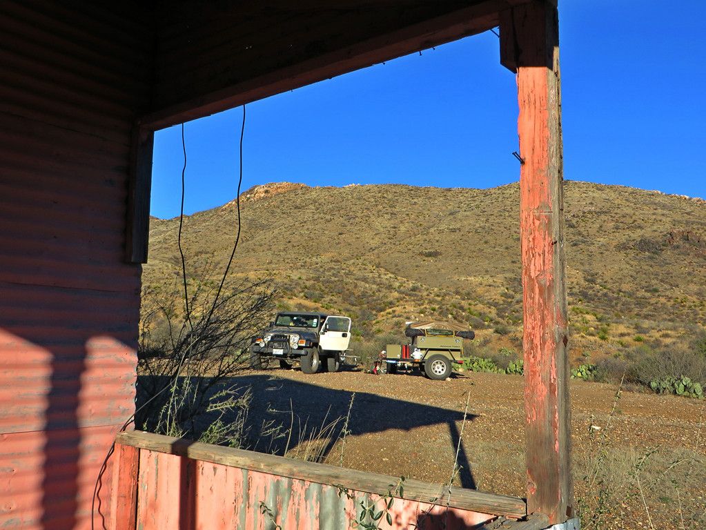
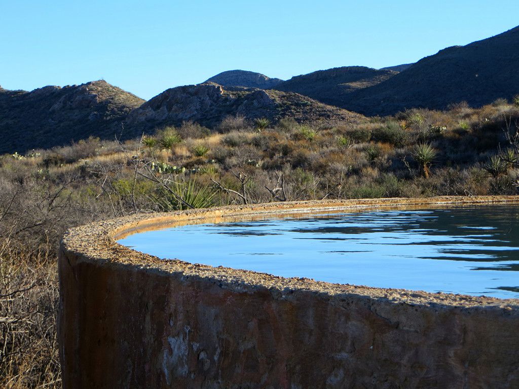
This is in the eastern most section of the park, and with a noon time arrival in Presidio is easily reachable before sunset along the main road to the ranger station and continuing on east along interesting but not too technical roads. This is a group site located on an old ranch ruin and there is a vault toilet at this site, (one of the few in the park). There is also an old building with metal roofing that clangs in the wind,
-
-
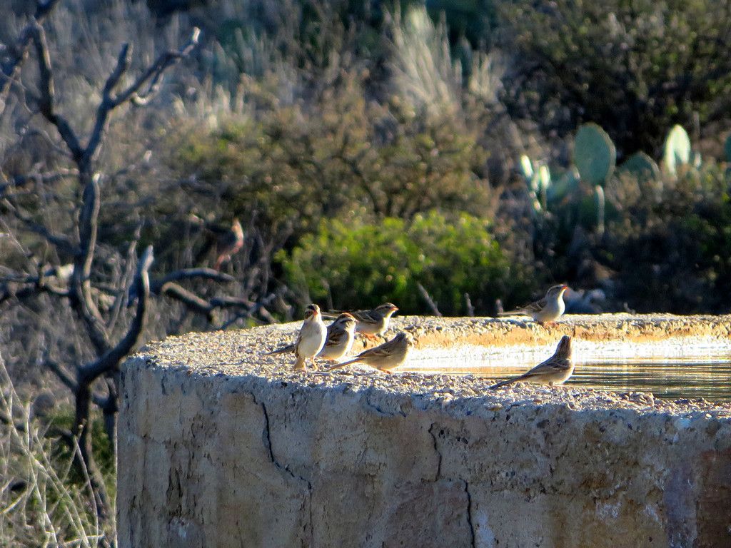
and a water tank that attracts wildlife to the area.
-
-
-
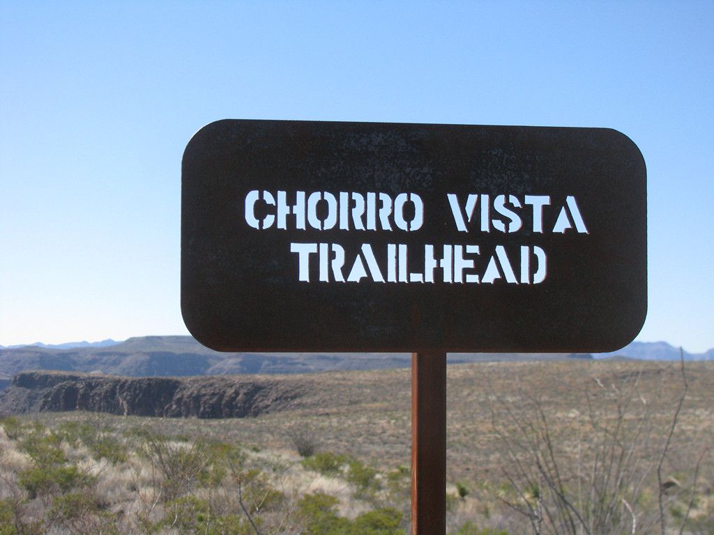
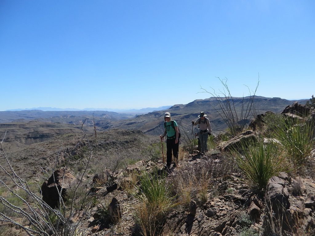
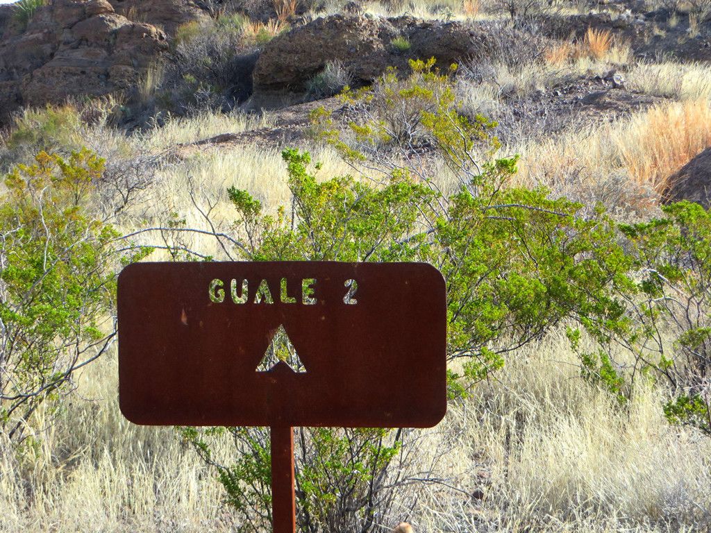
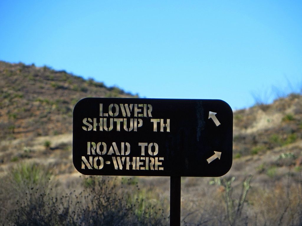
The next day we were off to do a morning hike. Typical signs are durable stencil cut steel. We took the left hand branch at this sign.
-
-
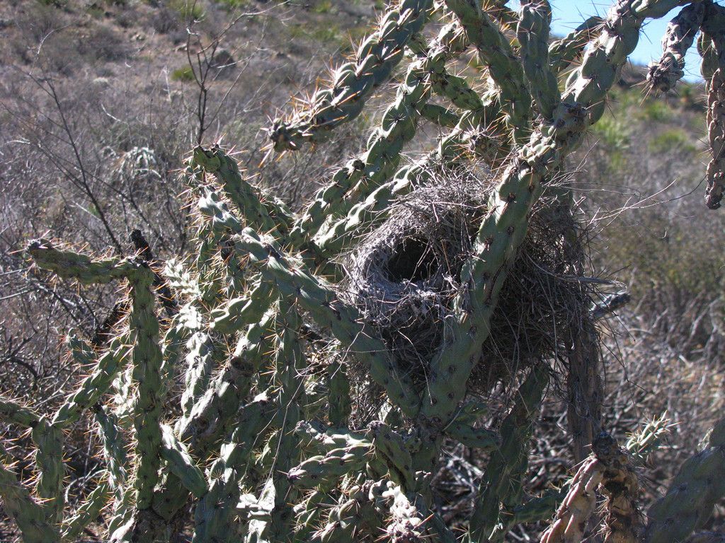
Passed this nest next to the road.
-
-
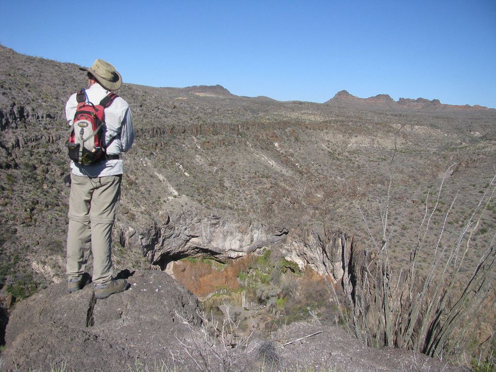
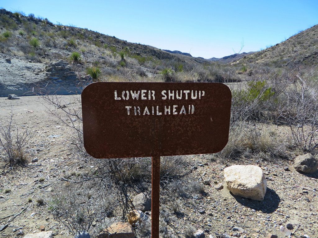
And found our way out to the trail head at this sign.
-
-
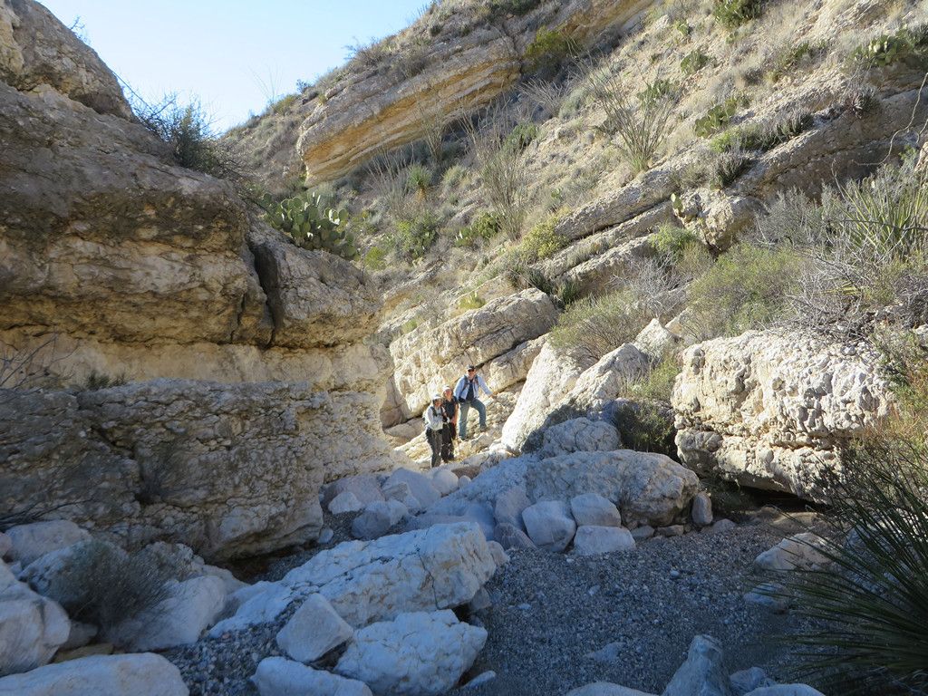
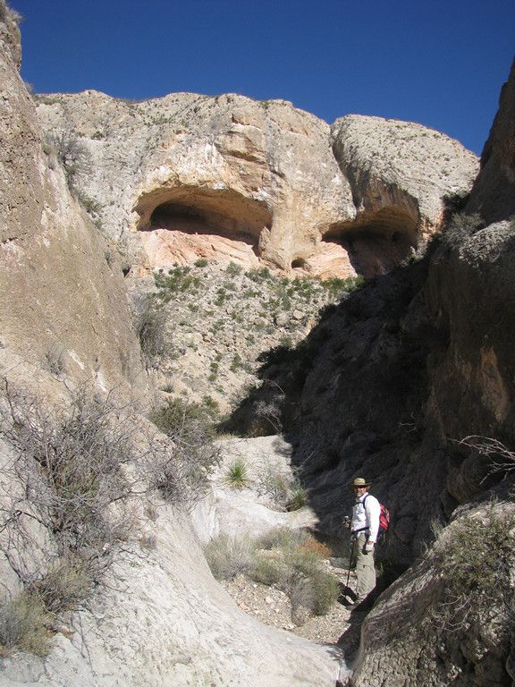
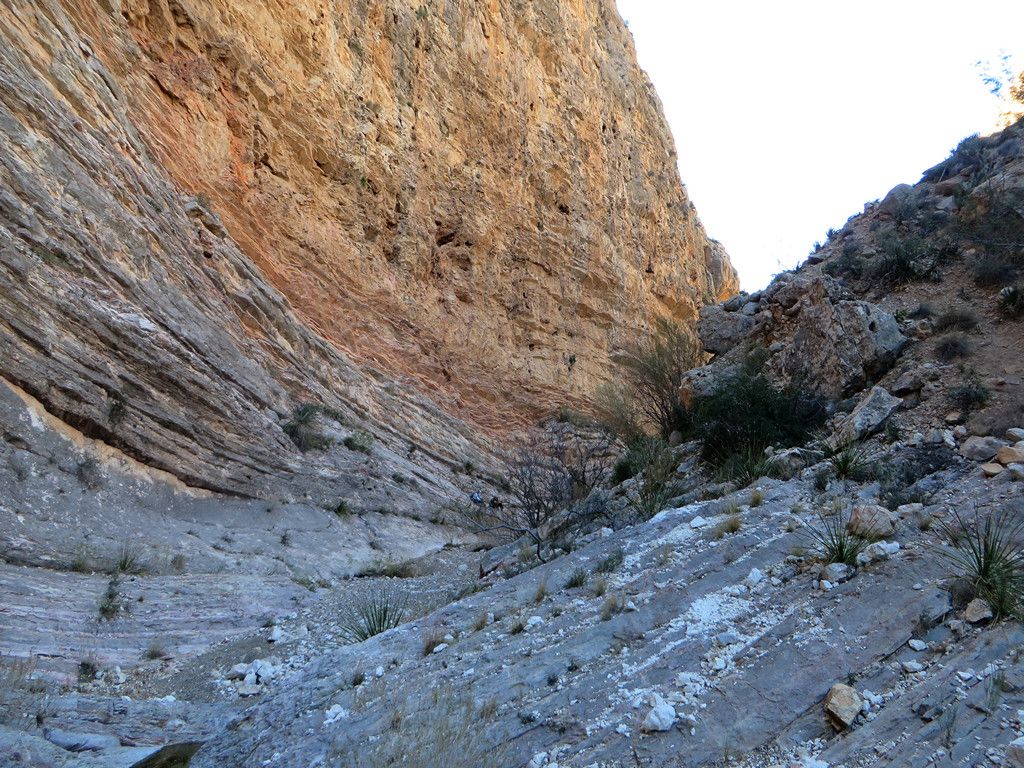
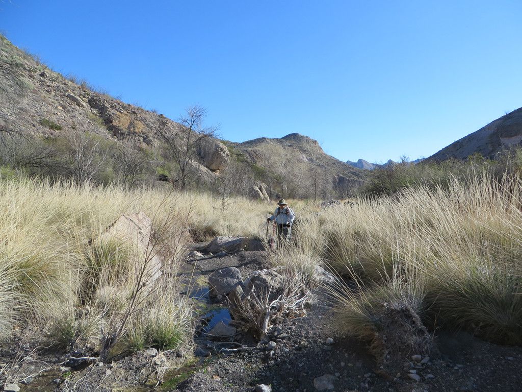
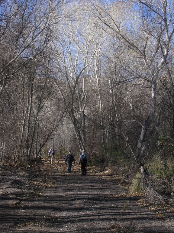
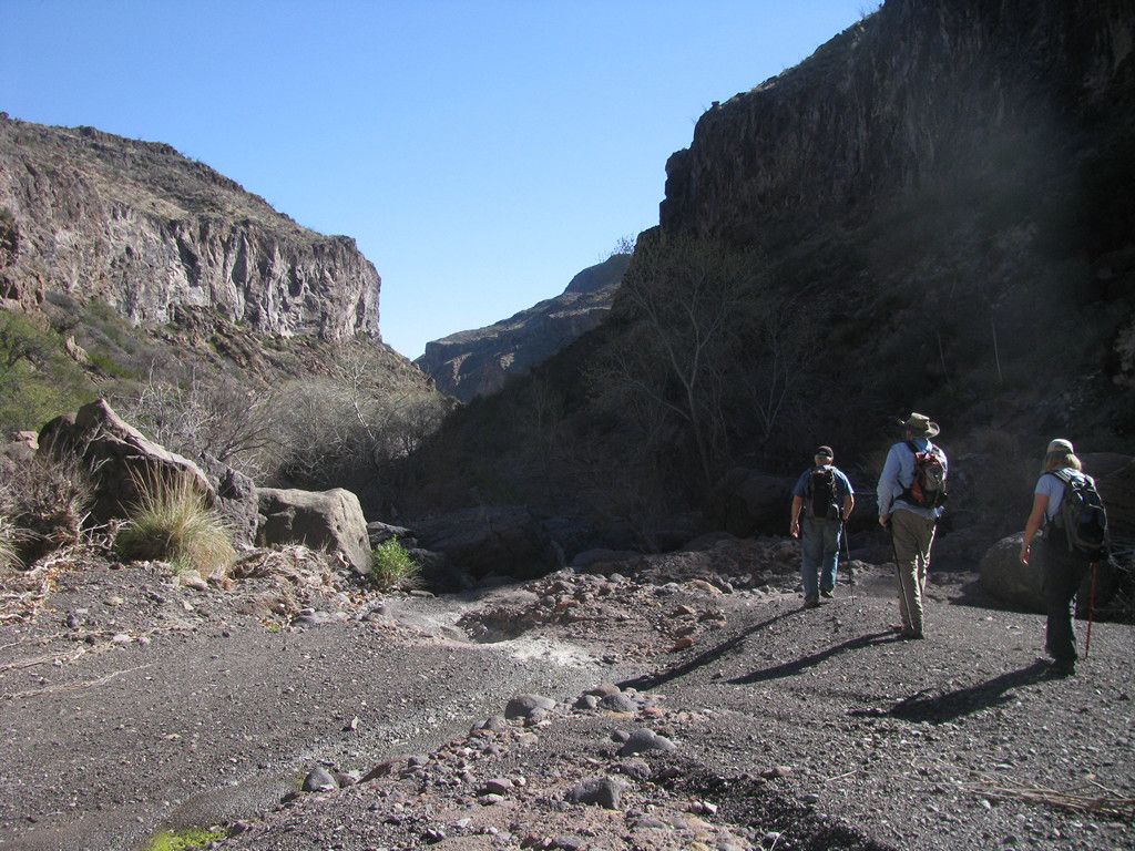
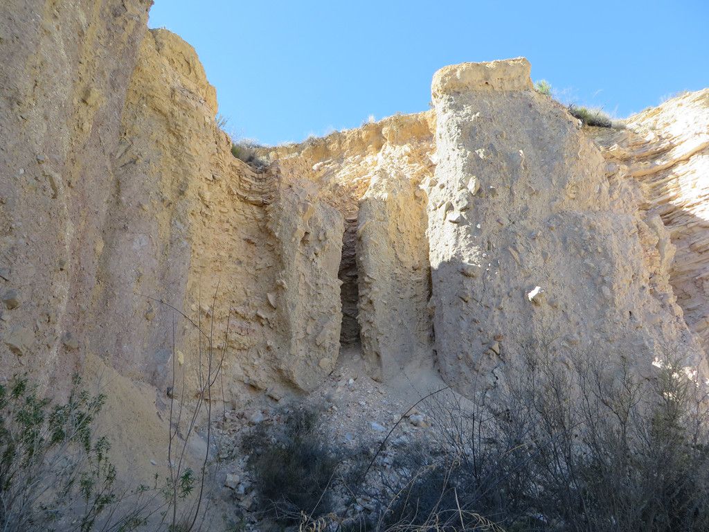
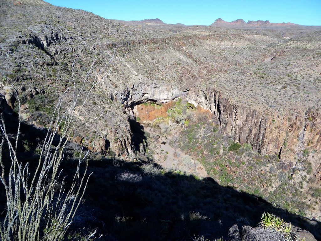
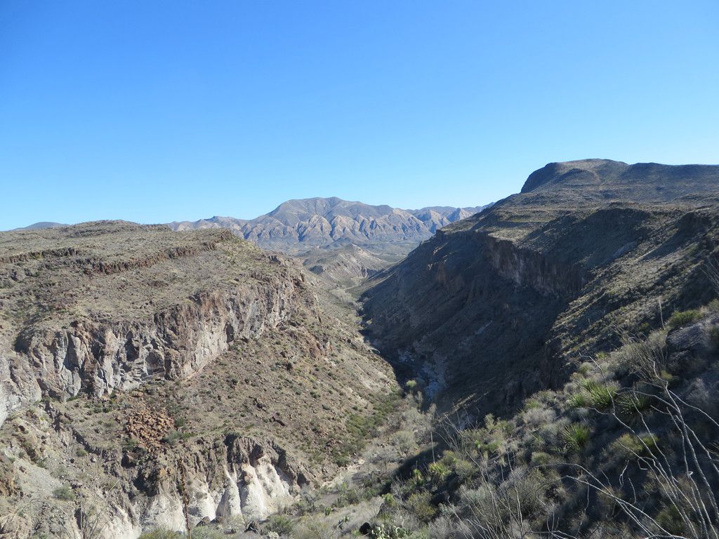
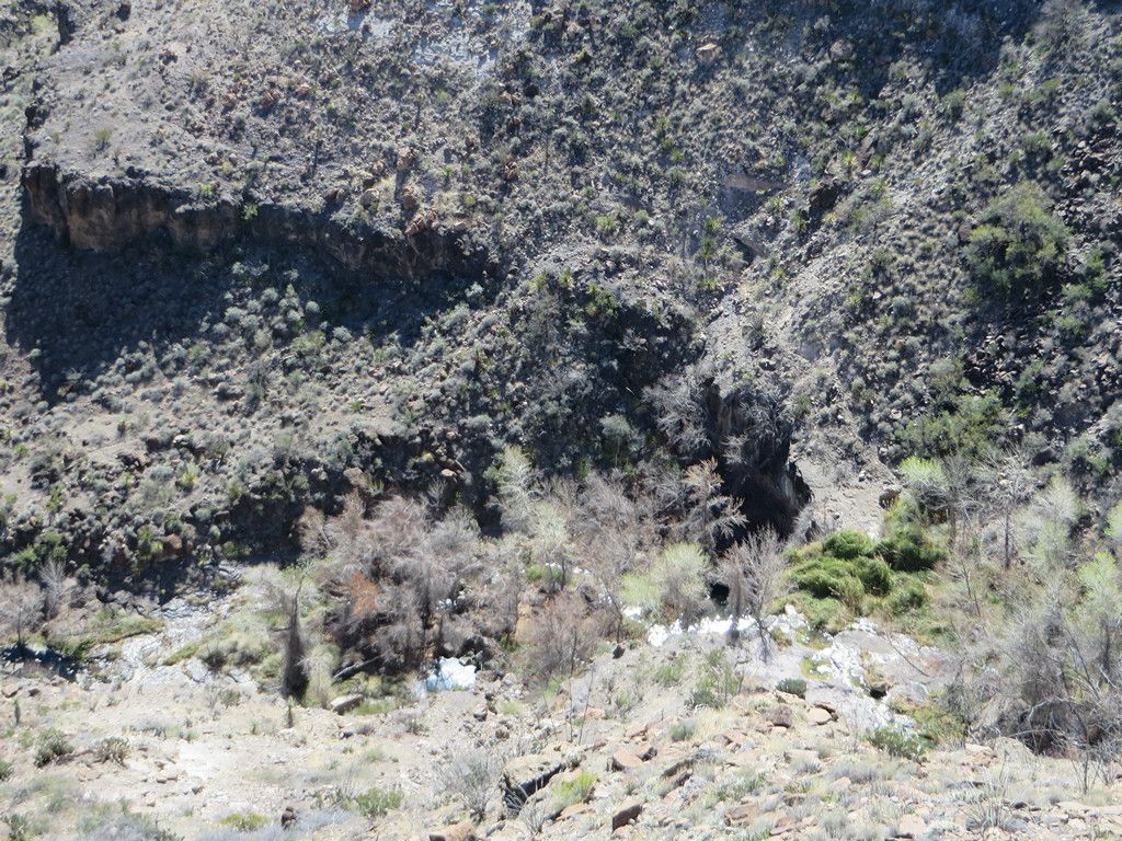
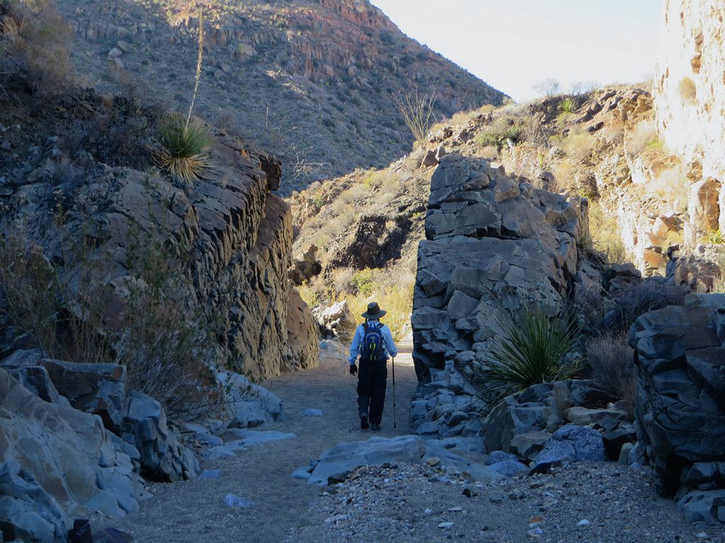
Off into the canyon.
-
-
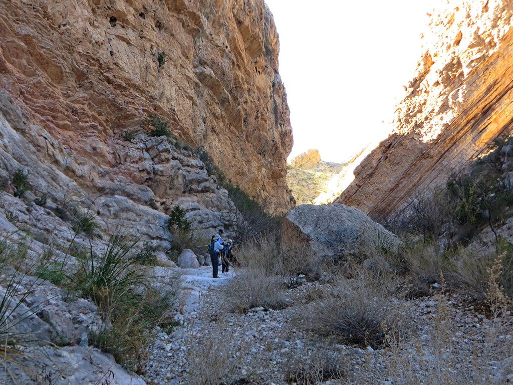
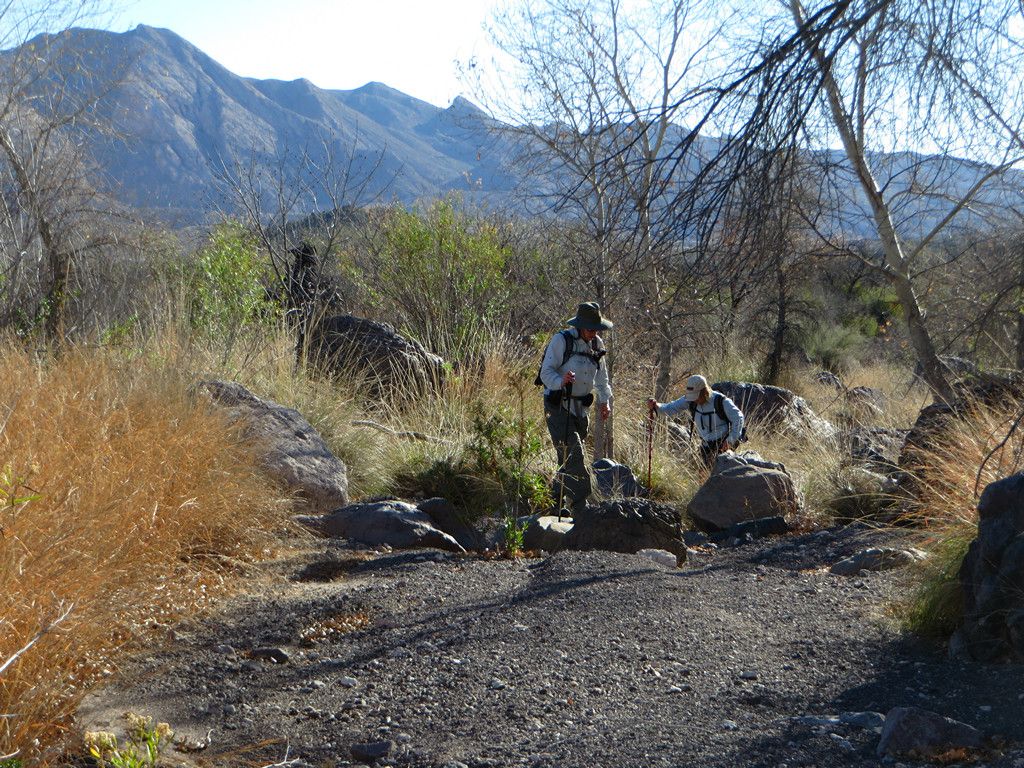
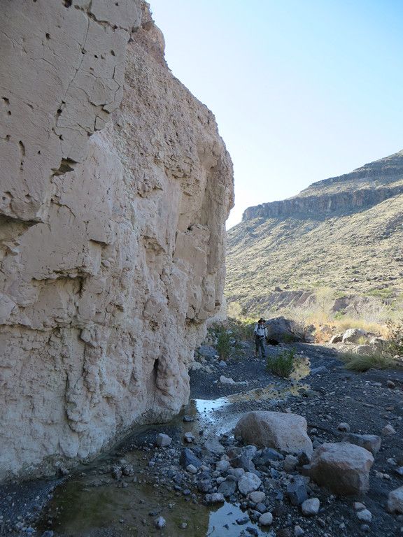
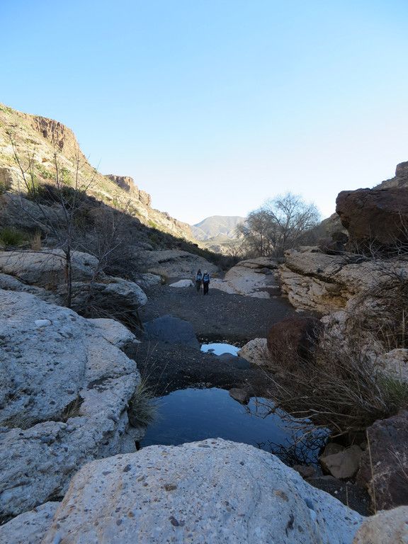
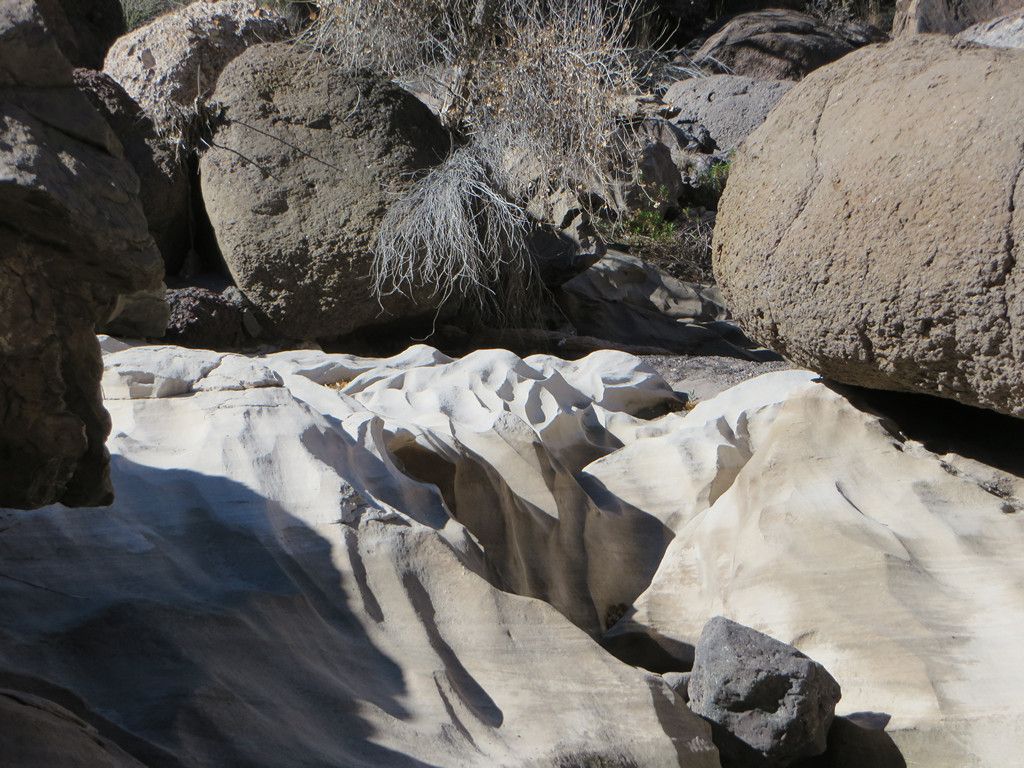
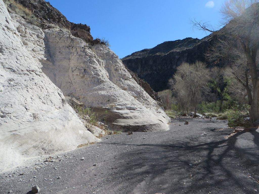
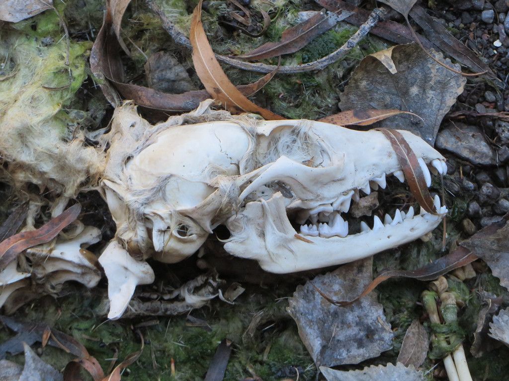
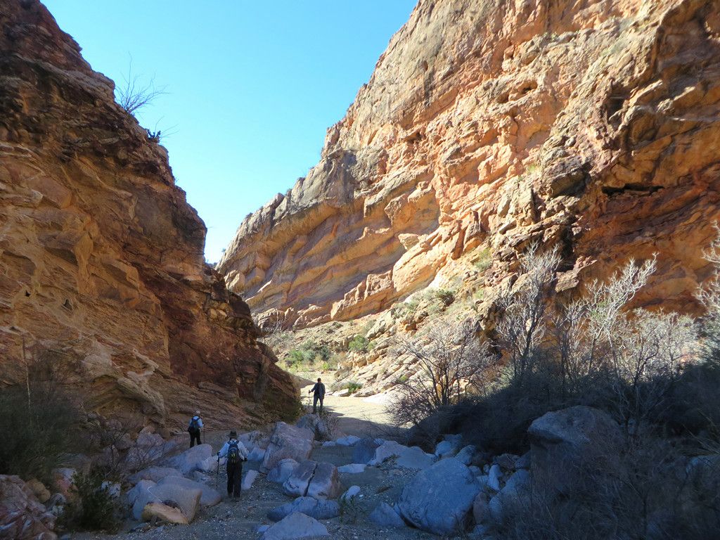
We made our way down the canyon as it got higher and narrower.
-
-
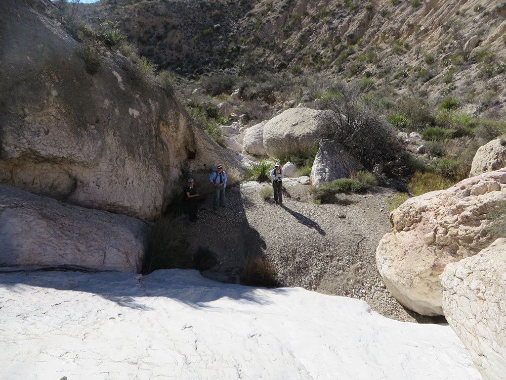
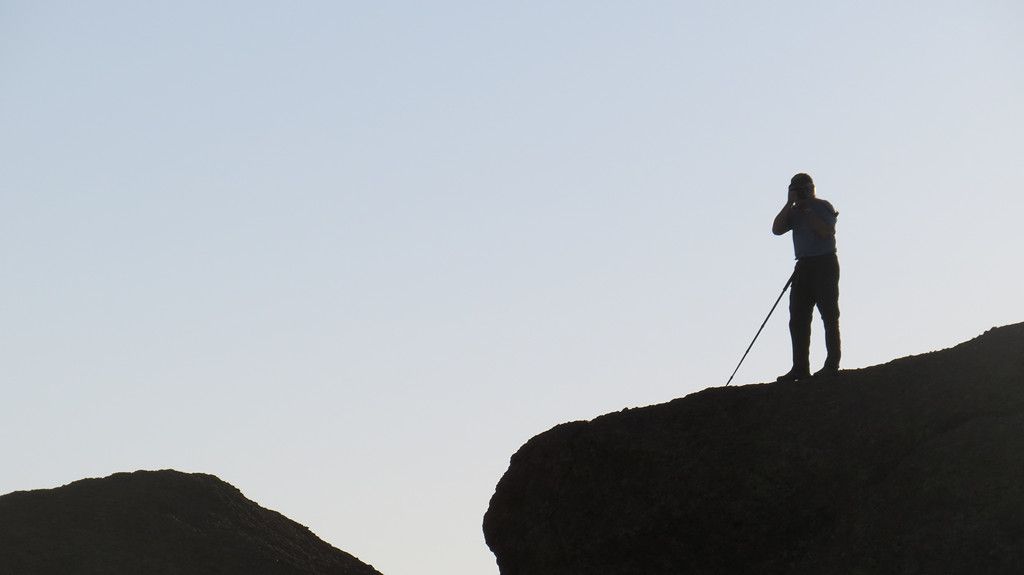
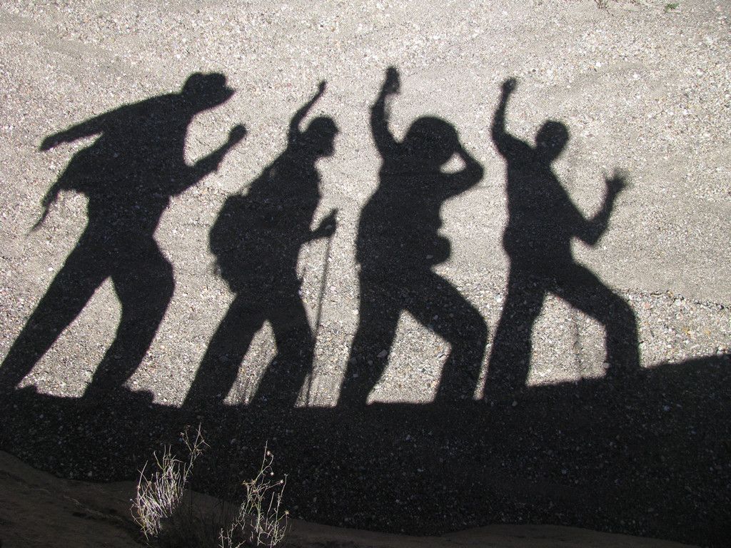
Always time to stop for a shadow picture.
-
-
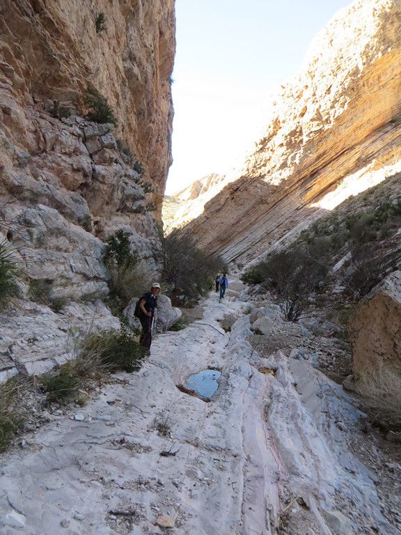
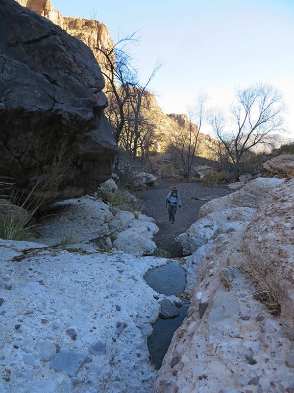
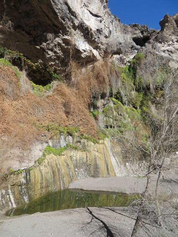
It narrowed into some slot canyons and required a detour up the side to get around a narrow spot with water.
-
-
-
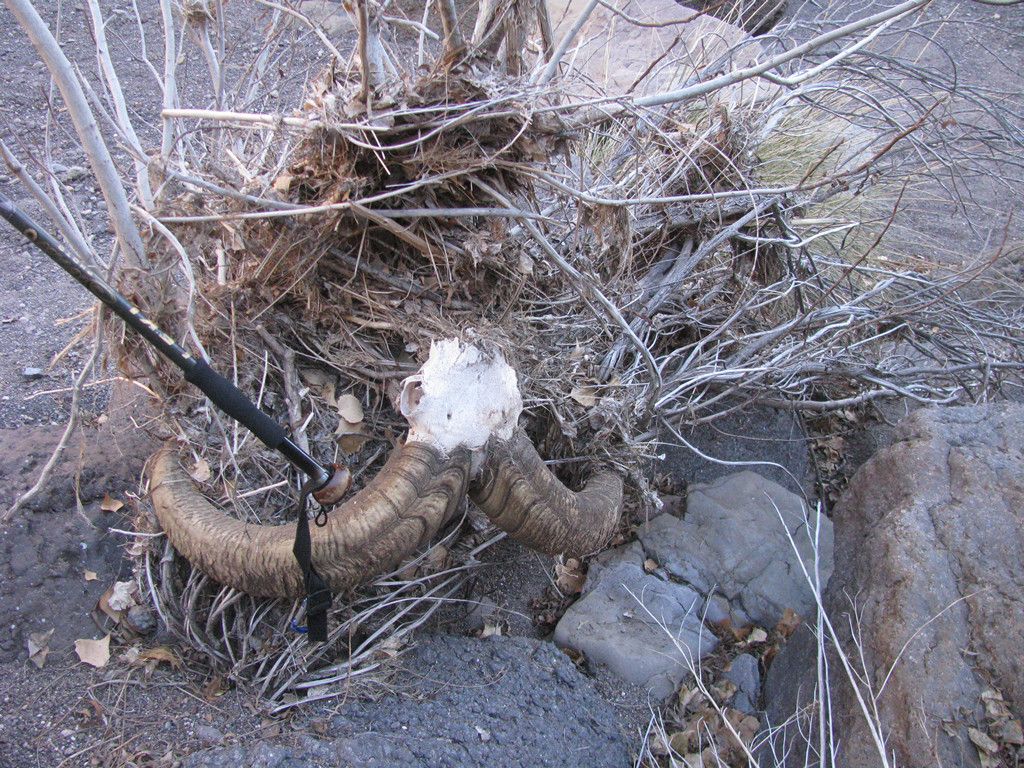
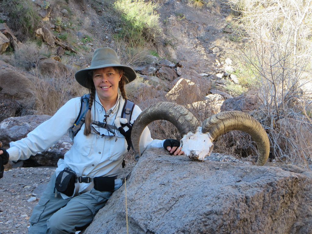
We called it quits at this point and headed back out so we’d have time to get to our next campsite before dark.
-
-
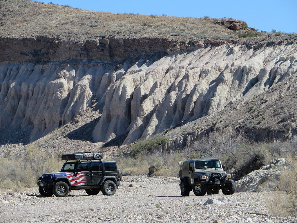
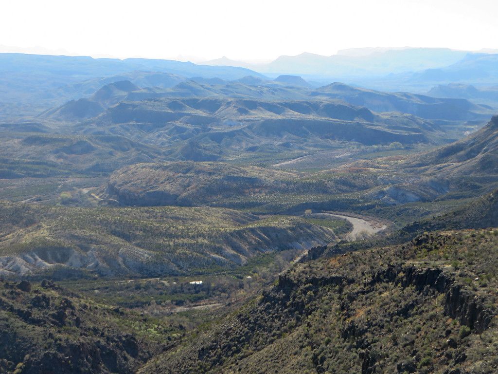
The next destination was into Fresno Canyon. The road drops into the canyon and runs in the wash headed south with the walls of the Solitario on the east side.
-
-
-
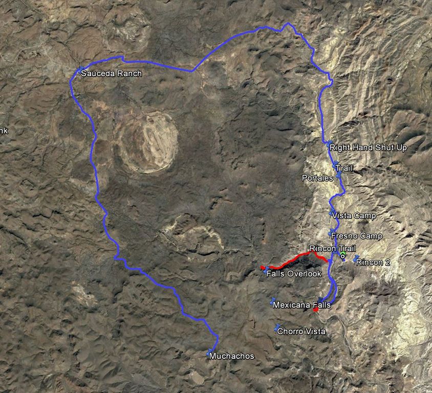
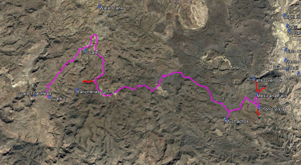
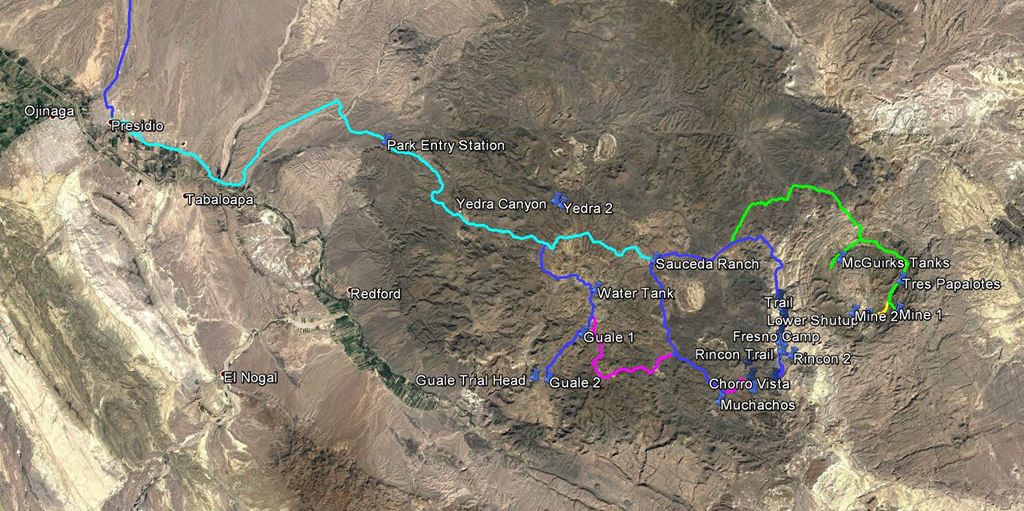
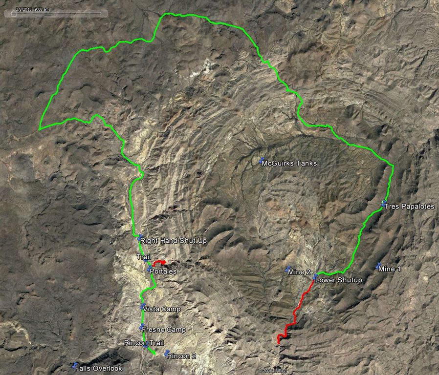
The Solitario is a collapsed volcanic crater and is one of the geologic features of the park. It is rather large and prominent on the map and shows up nicely on Google Earth with our gps tracks for Day 2 shown, (hikes in red).
-
We made our trip rendezvous in Presidio, TX just to the West of the park around noon. It is the best place to top off the fuel tanks and last minute food items as there is no fuel in the park and limited food.
We headed in on the 22 mile dirt road toward the ranger station. The entry sign and information kiosk is about 8 miles in. If you arrive late and don’t have your camping permits it is also a place you can camp for the night with rest room facilities.
-
-
From there the road winds up and around the hills for the remaining distance into the ranger station. There are plenty of opportunities to pull over and check out the views.
-
-
We made our stop at the ranger station to check in, review the required back country regulations, (bring your own toilet facilities), etc. and were off to our first night campground at Tres Papalotos.
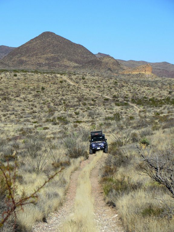
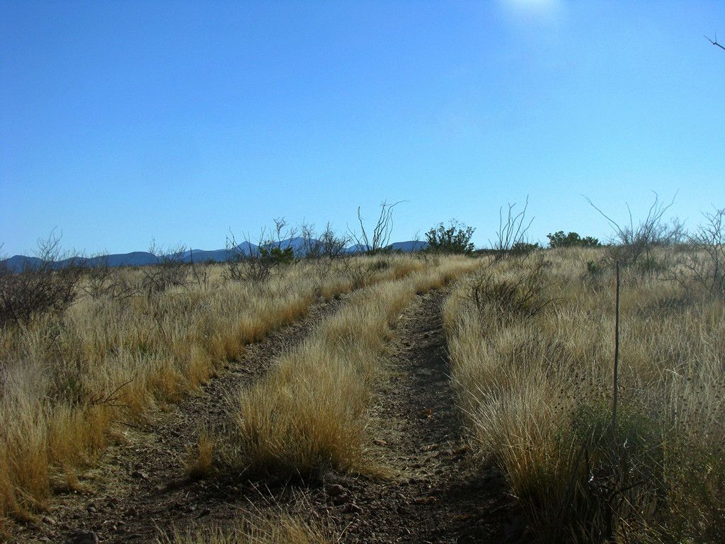
On the way in we took a detour to the east to explore McGuirks Tanks Campsite and the area around it. There are several old ponds (tanks) that were all dry and some narrow trails to explore.
-
-
We passed some old ranching remnants on the way.
-
-
Before setting up camp we dropped our trailer and ran up to one of the old uranium mines at the top of a hill nearby to catch sunset.
-
-
Great vistas of the area we would be exploring for the next few days.
-
-
-
There is not much room to turn around up top. More than 2 vehicles and it would be a challenge to maneuver unless you want to try out the strength of the wire mesh over the mine opening.
-
-
As it was getting dark we headed back down to set up camp and sit around a campfire for dinner (fires are allowed, bring your own wood).
-
-
Trip log from the ranger station in to camp.
-
-
This is in the eastern most section of the park, and with a noon time arrival in Presidio is easily reachable before sunset along the main road to the ranger station and continuing on east along interesting but not too technical roads. This is a group site located on an old ranch ruin and there is a vault toilet at this site, (one of the few in the park). There is also an old building with metal roofing that clangs in the wind,
-
-
and a water tank that attracts wildlife to the area.
-
-
-
The next day we were off to do a morning hike. Typical signs are durable stencil cut steel. We took the left hand branch at this sign.
-
-
Passed this nest next to the road.
-
-
And found our way out to the trail head at this sign.
-
-
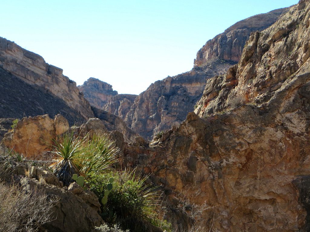
Off into the canyon.
-
-
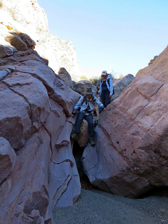
We made our way down the canyon as it got higher and narrower.
-
-
Always time to stop for a shadow picture.
-
-
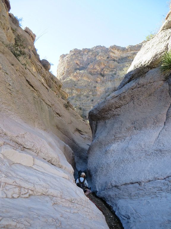
It narrowed into some slot canyons and required a detour up the side to get around a narrow spot with water.
-
-
-
We called it quits at this point and headed back out so we’d have time to get to our next campsite before dark.
-
-
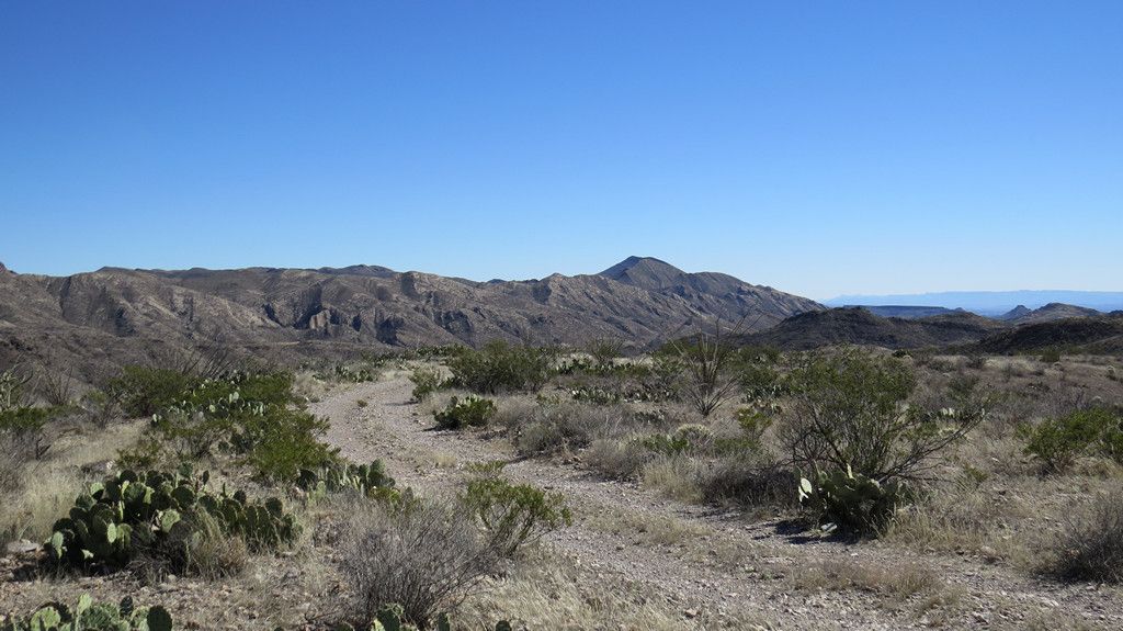
The next destination was into Fresno Canyon. The road drops into the canyon and runs in the wash headed south with the walls of the Solitario on the east side.
-
-
-
The Solitario is a collapsed volcanic crater and is one of the geologic features of the park. It is rather large and prominent on the map and shows up nicely on Google Earth with our gps tracks for Day 2 shown, (hikes in red).
-