Doc McCoy
Untitled Offroad
Just realized that I never posted this here ... feels wrong since I used as much of the information I gathered here to plan and execute this trip. So here it is the trip I took down to the San Juans via the Continental Divide, with a stopover in Denver. Took place at the tail end of June of this year.
Day One - Alberta/BC
From the Highwood Junction in Alberta to the BC border at Roosville and into Montana.

So the route as suggested is a hodgepodge of various roads and trails that get you driving or riding close to the Divide as much as possible. I've got a lot of issues with the route they chose and I'll point it out along the way. Above is the route that I took. The suggested route starts in Banff and I had no plans of backtracking just to take a different Highway to where I did start.
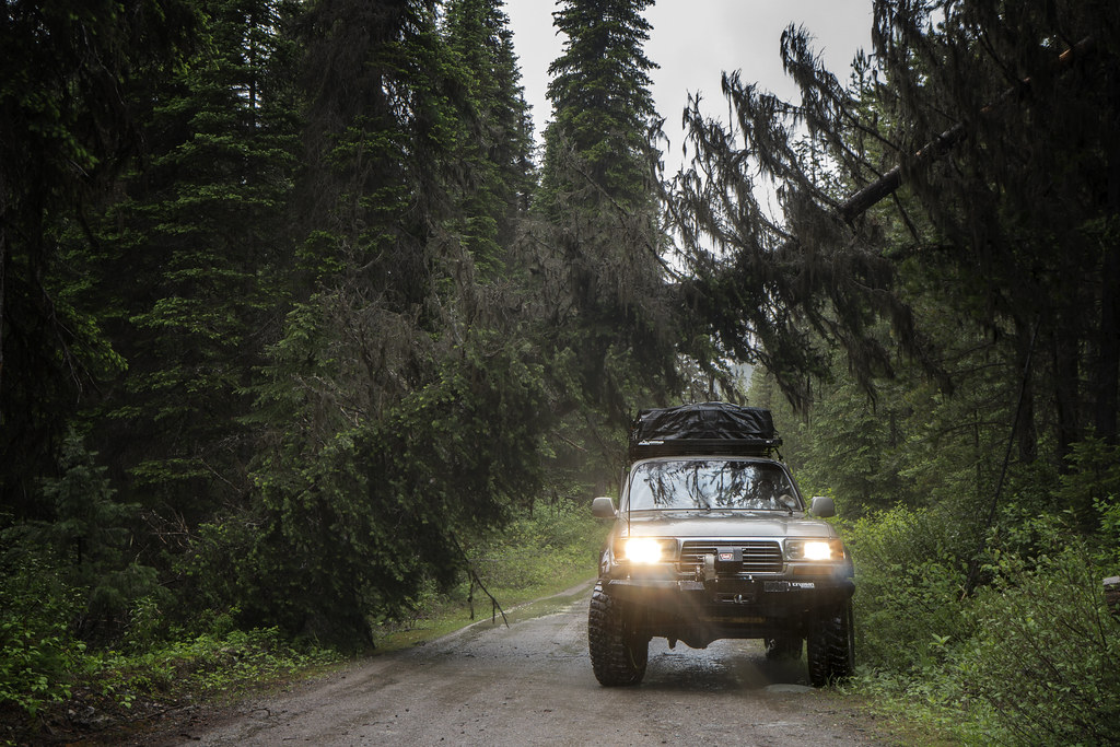
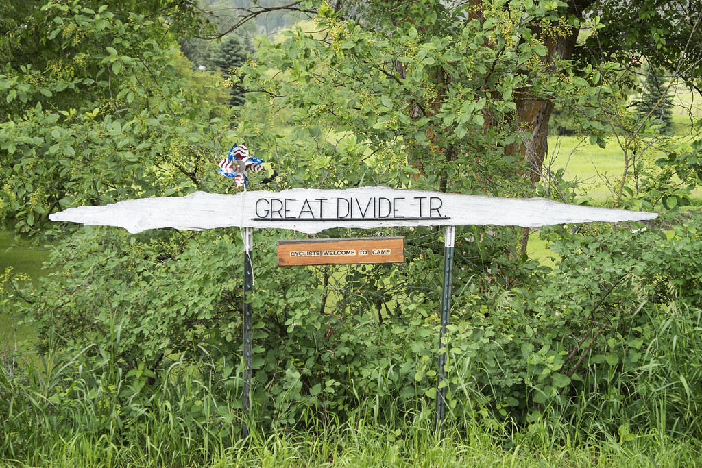
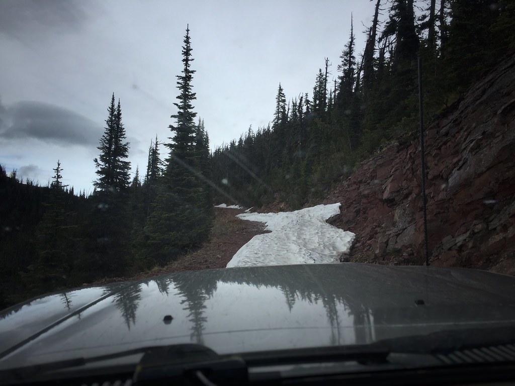
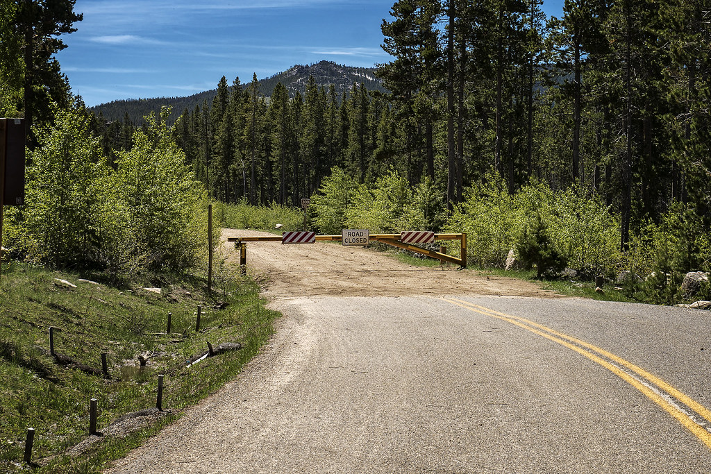
I started at the Highwood Junction. When I pulled into Longview there was still a sign saying that the pass was closed. While trying to look up if it was indeed closed (I had seen pictures from only a few weeks previous from cyclists friends encountering a wall of snow) someone passed and informed me that the sign was wrong and it was indeed open. 5 minutes later I was pulling off onto the Forestry Trunk road and the first gravel of the trip.
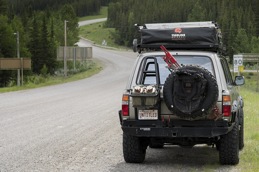
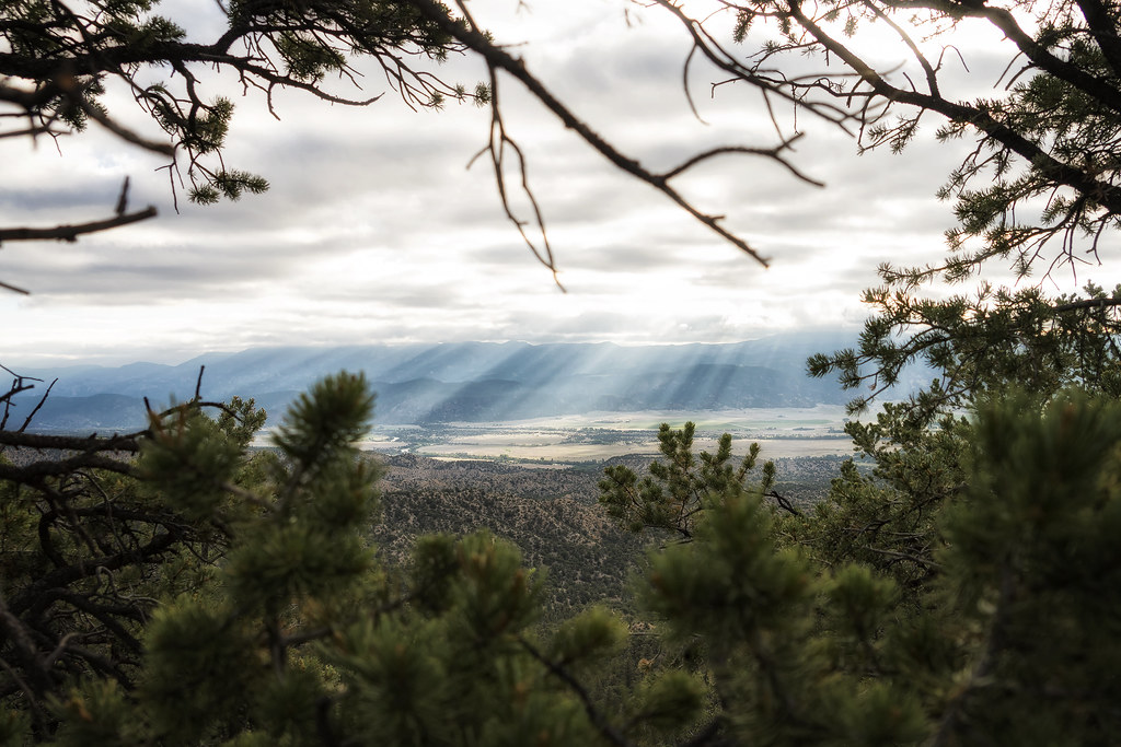
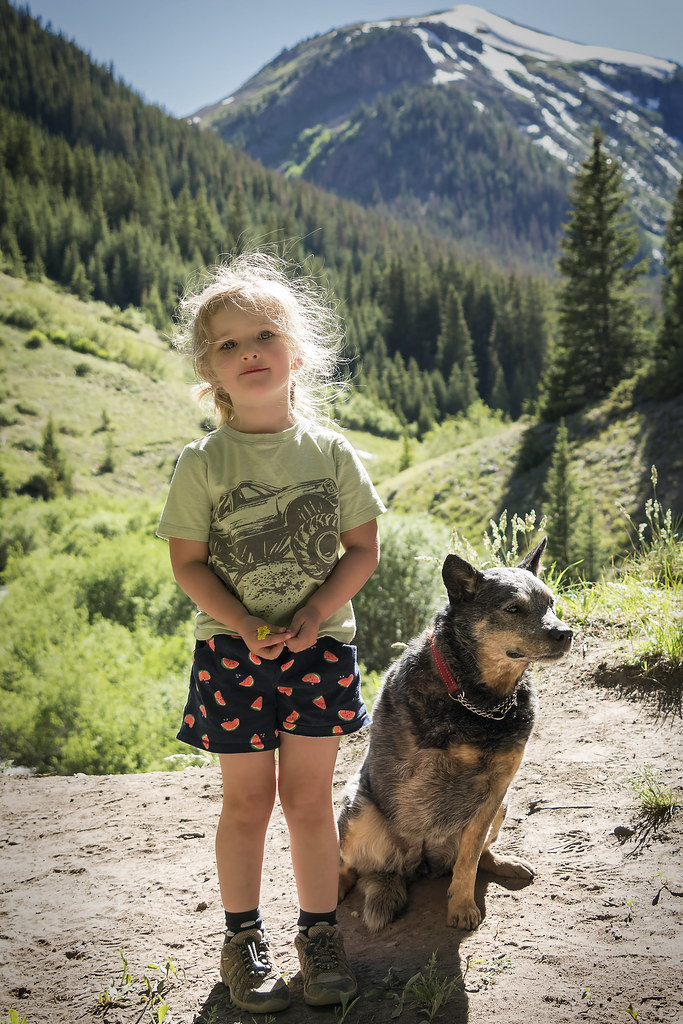
I've driven the Forestry Trunk Road countless times but this was the first time with my daughter and I planned on stopping a few times and trying to check some things out. For the first half, before the 'Hump' at Savanah Creek and Hwy 532 there wasn't a whole lot but the views were still incredible.
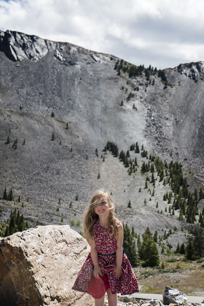
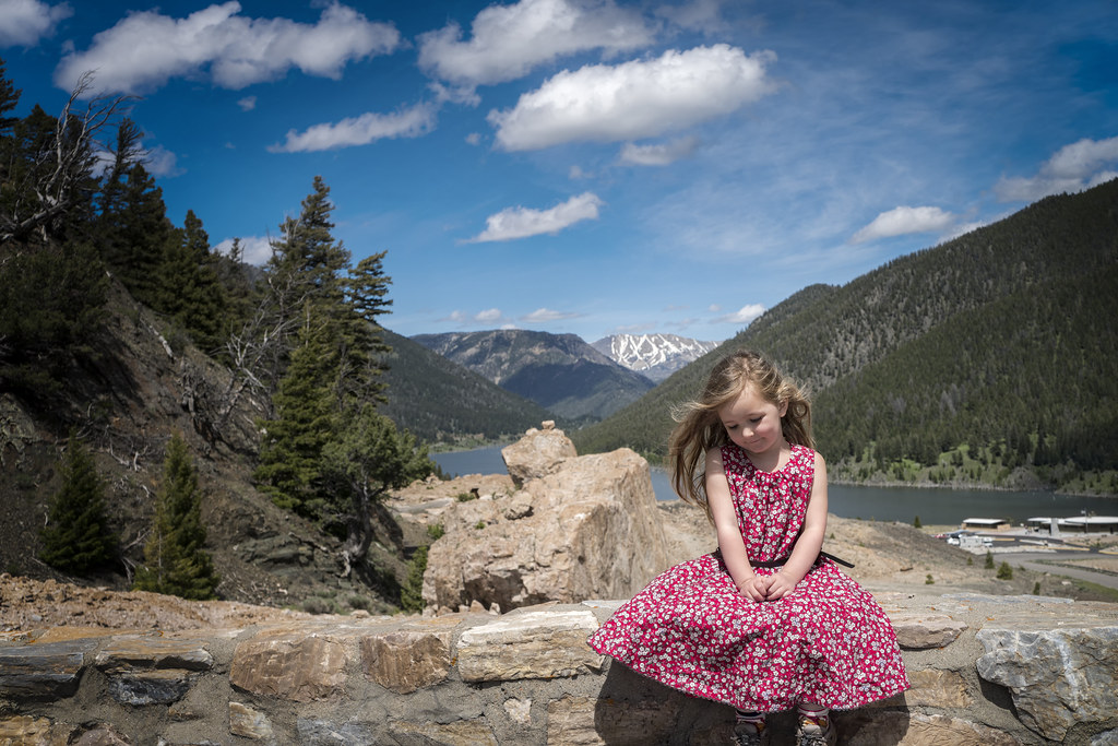
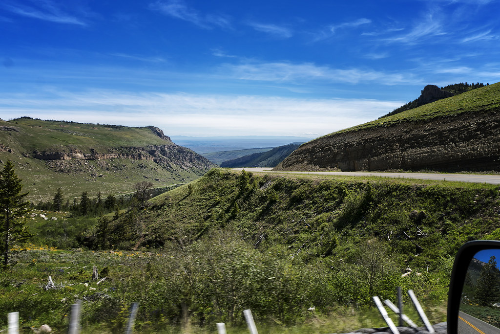
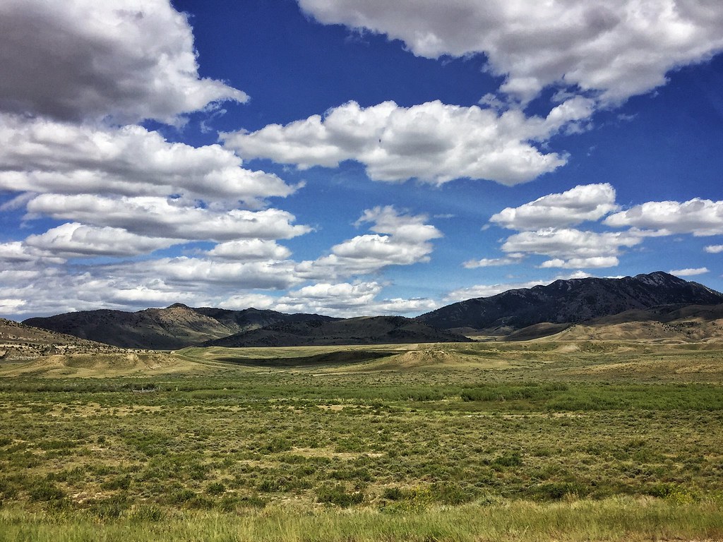
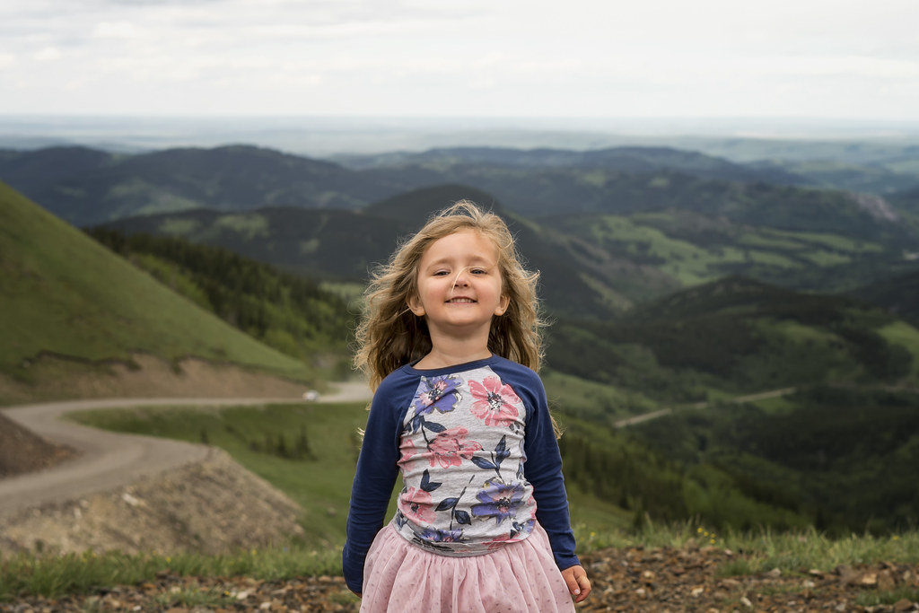
My daughter Piper had never seen the summit of Hwy 532 before. Colloquially known as "the Hump" it offers a spectacular view from the mountains, down the foothills, out across Chain Lakes and into the prairies. I'd recommend it to anyone, there is also a few hikes from there that are worthwhile as well. Though it was incredibly windy ... Piper was a fan.
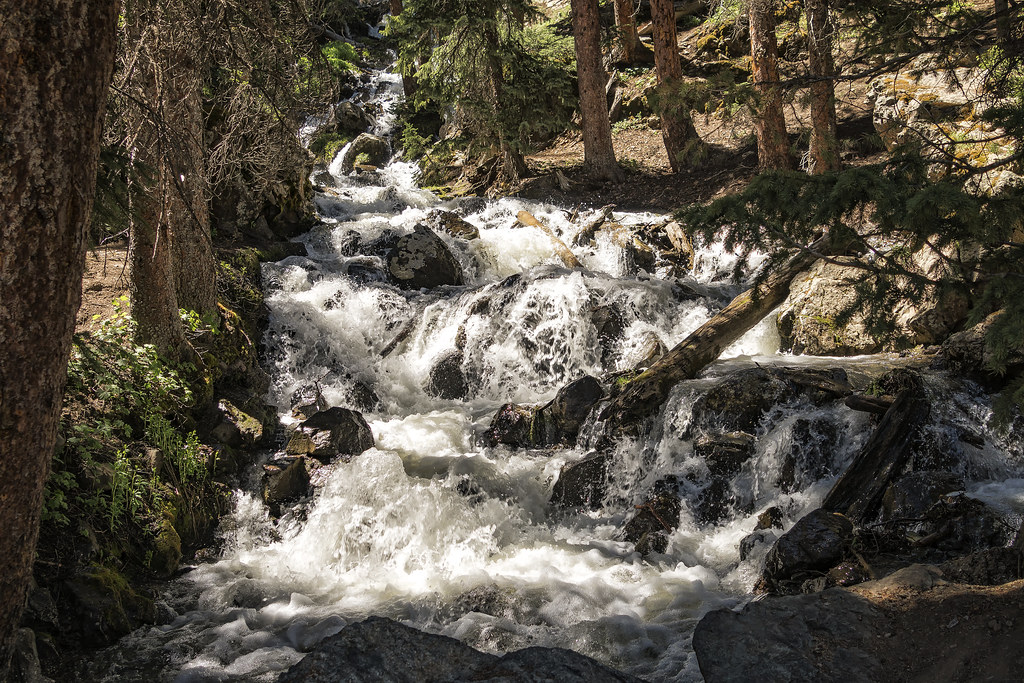
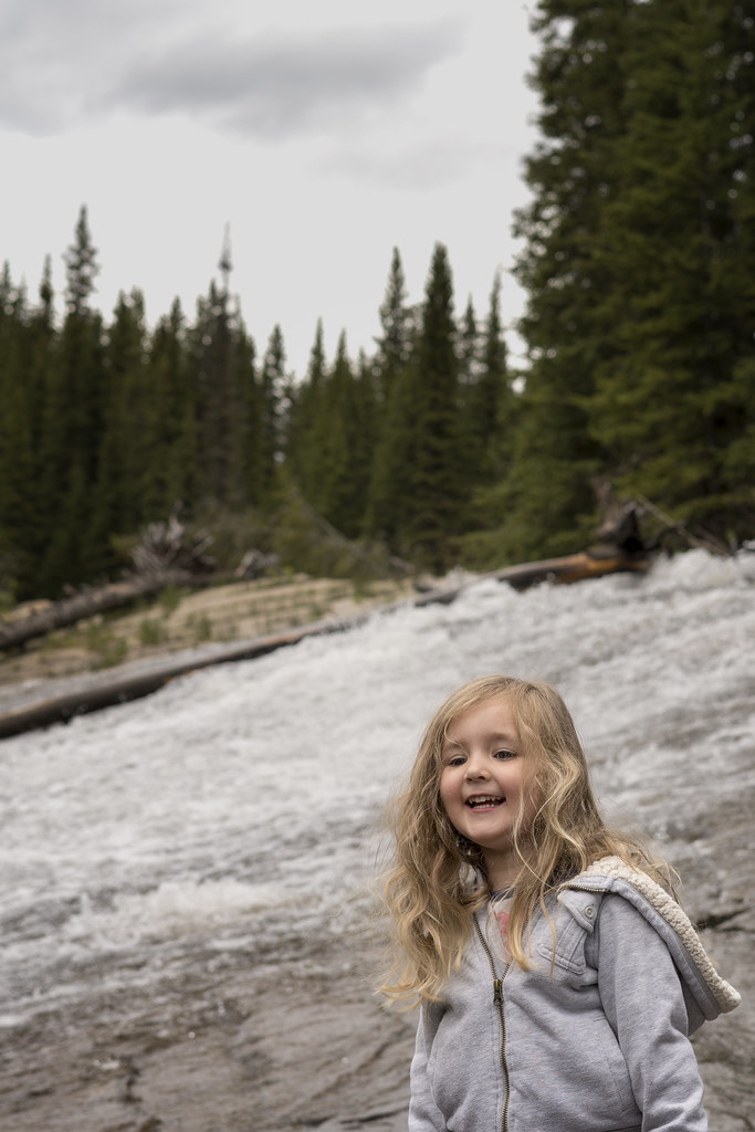
We headed back to the 40 and chased a couple waterfalls. Spots I had never bothered to stop before but I was hoping Piper might be entertained because this was going to be a LONG drive. The first one we stopped at was Livingstone Falls. Not sure if this one looked any different before the floods of 2013 but it's a nice enough little waterfall now. It doesn't have a dramatic plummet from a cliff but simply cascades down a 45 degree angle of smooth rock.
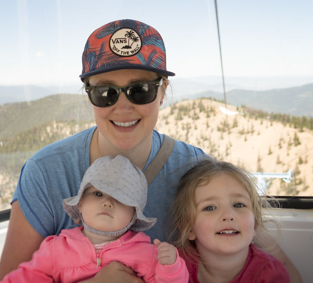
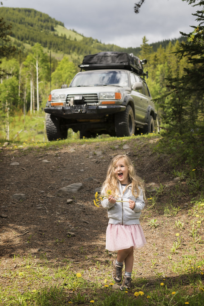
Next we headed off for Old Man Falls. A fellow tourist at Livingstone had recommended them though, "he hadn't been in years". It didn't appear to be a long detour so we took off again and headed back northwest following the Old Man River away from the 40. For the life of me couldn't find the damn thing. Not sure if the floods did a number on it or if I was looking in the wrong spot. Piper and I stopped again anyway along the Old Man River and threw a couple rocks at the Old Man. She also grabbed a bouquet of dandelions for her mother who we would be seeing in four days in Denver.
We hammered back to the 40 to continue on way. Back in the day, I would've taken Dutch Creek and Atlas road down to the Pass and maybe even in to BC. However, they have "decommissioned" the road and made it much more interesting for truck travel. As of last year it could still be done but I was on a timeline and didn't want to risk having to back track nearly as much. Still wanting to have a bit of fun on the drive, I instead took a turn west onto the SW section of the Daisy Creek trail.
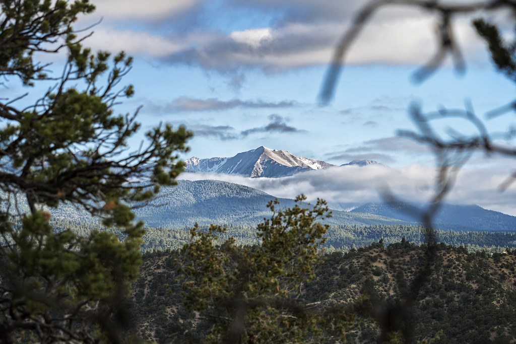
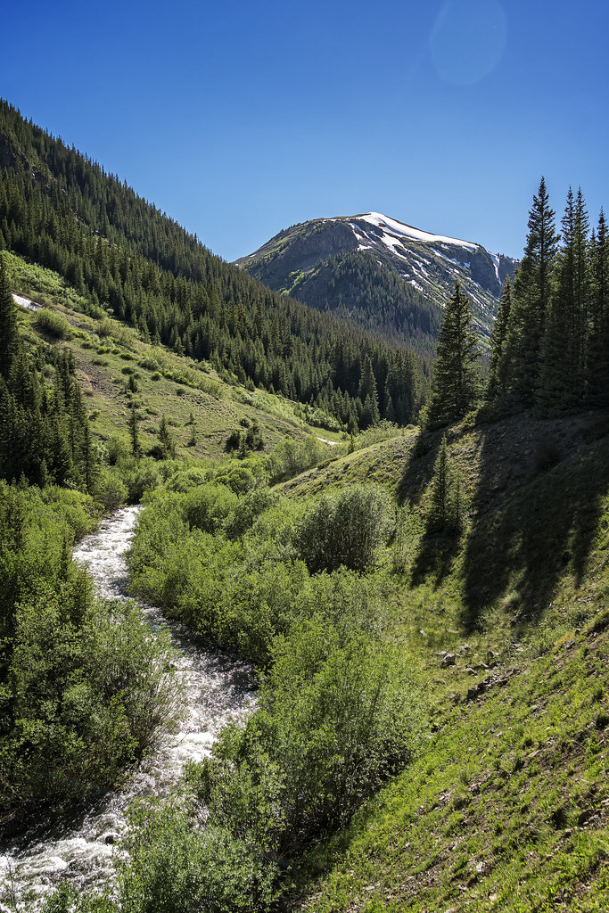
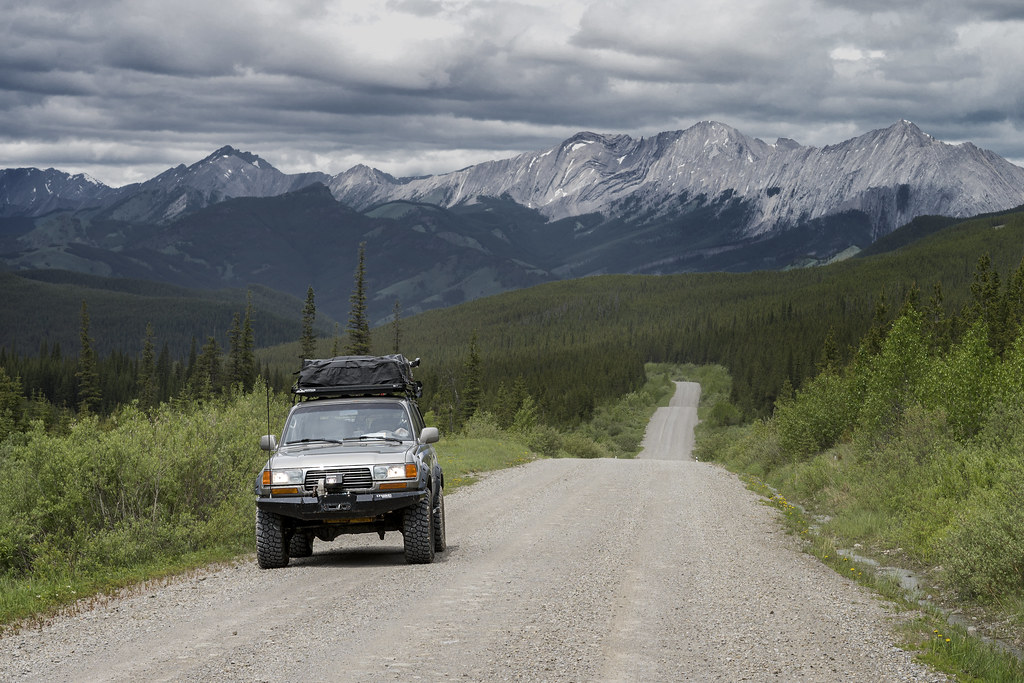
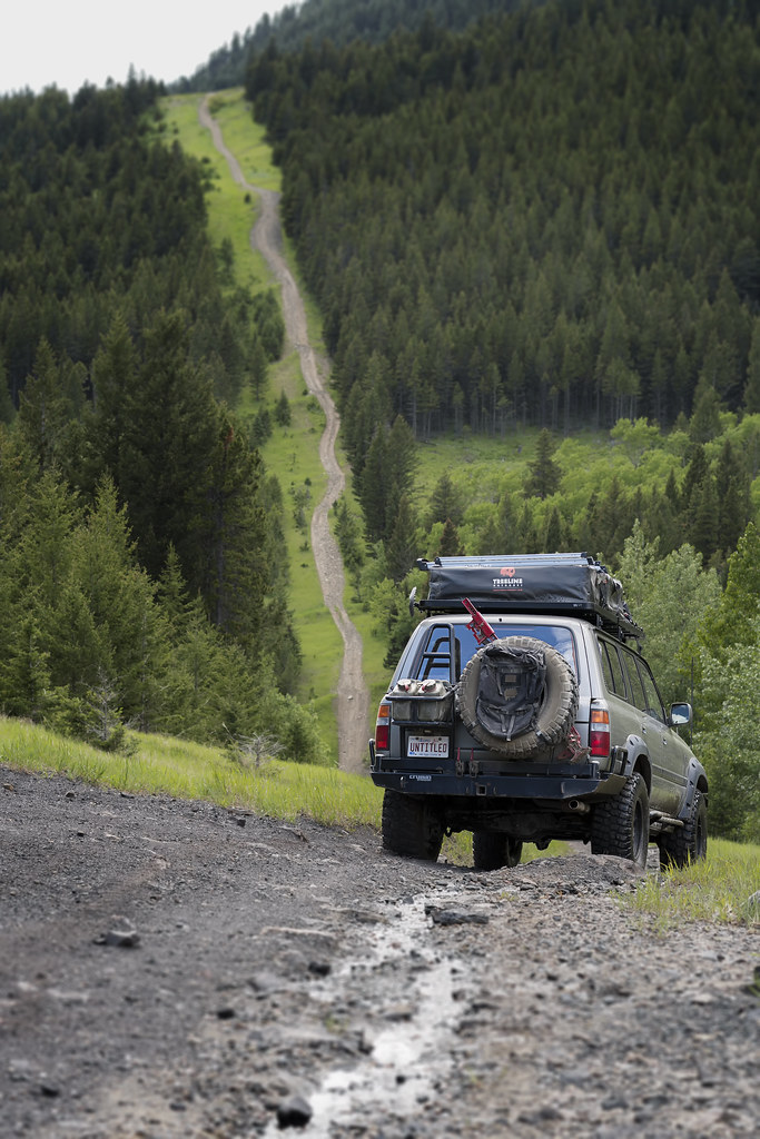
Not a particularly technical trail, it does provide some great views and longer hill climbs. The hill climb (or descent) on Wedge mountain being one of my favourite sections to photograph. It's one of those rare instances where it looks worse than it is. And the greenery around it is always nice too.
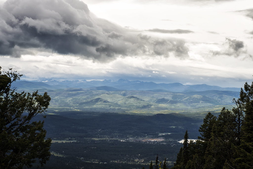
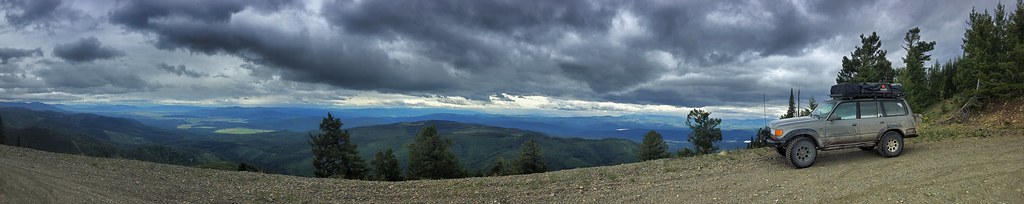
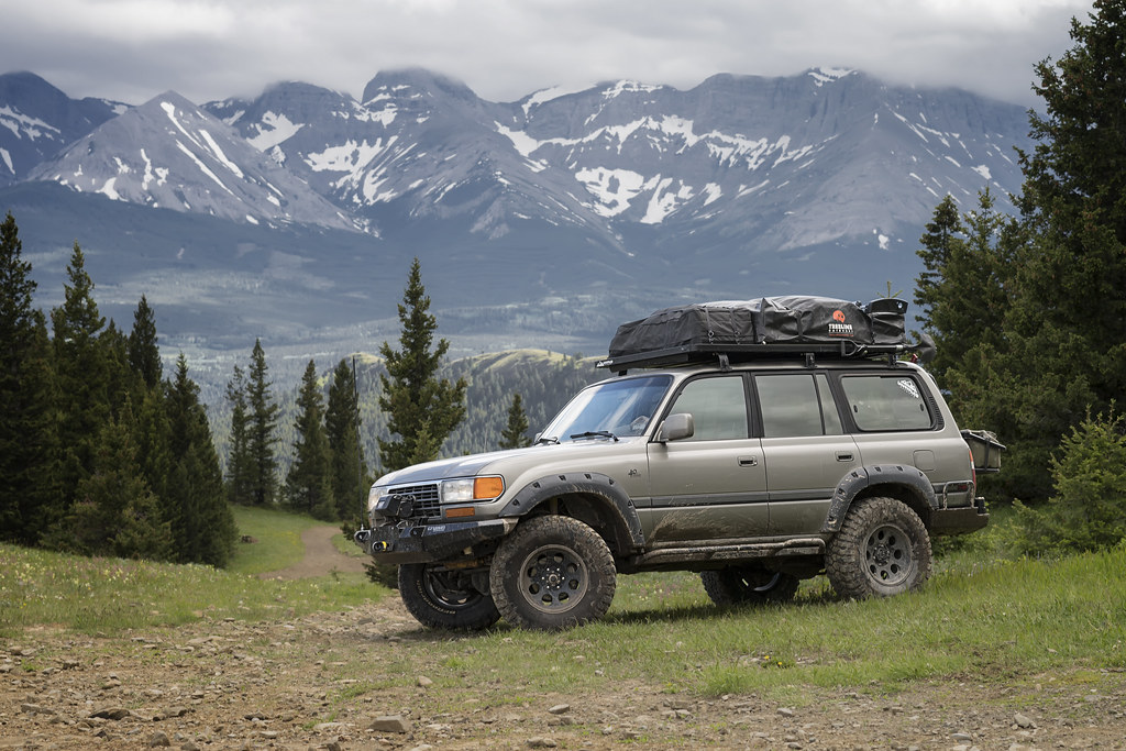
After the climb took a few moments to soak up the scenery. It was becoming obvious though that the clouds were starting to take over and the rain would soon be starting. We were not making very good time and we had to keep moving. The only thing that would speed us up was seeing as how the mountains to the south of Hwy 3 were getting covered in clouds there was no way I would be stopping to take a socked in photo of Crowsnest Mountain from McGillvary.
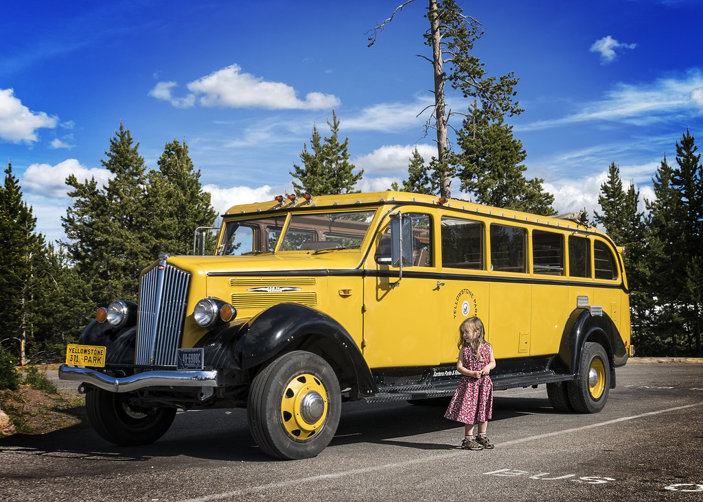
From here it's only a small descent to the McGillvary staging area. If I wasn't on a timeline and with my daughter I would've taken the route around 7 sisters. Perhaps then one of the 4x4 passes over the divide into BC. With rain coming and many miles before the US border crossing to go I rejoined the GPX track of the Continental Divide route. This was the #3 Crowsnest Highway and a paved mountain pass. Even though it began to rain slightly, we stopped at the "World's Largest Truck" roadside attraction in Sparwood. Far from being the "World's Largest Truck" anymore, there are a few bigger Cats up in the mines in Fort McMurray but it is a nice excuse to stop, stretch your legs and grab some photos. With a little perspective it barely looks bigger than the Cruiser.
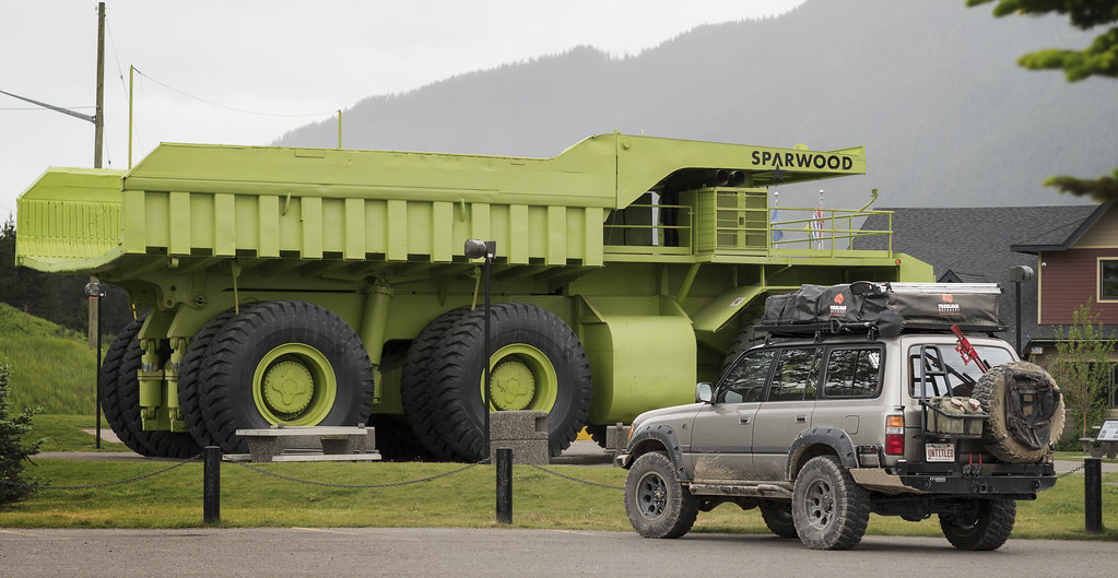
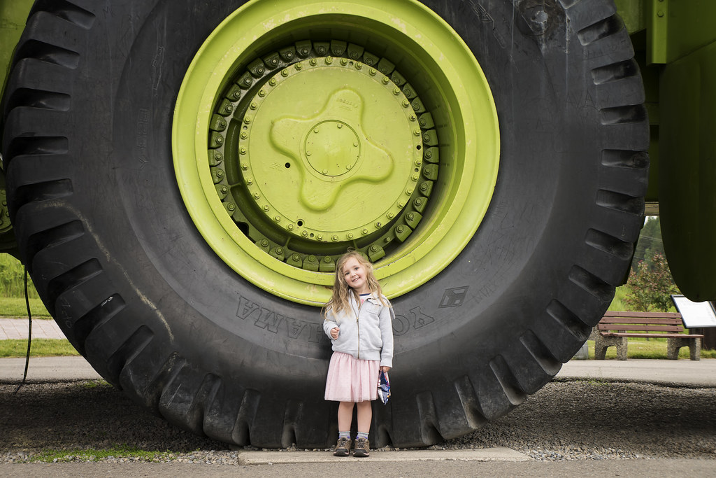
Of course when I take photos of it with Piper it truly shows off the scale of the big truck. Even if it isn't the biggest anymore, it is still large enough to drive over a normal vehicle and not even alert the driver there was something underneath.
The GPX track stay on the #3 all the way to Fernie. This was a bit of a disappointment as there are some great trails both to the north and south of the #3 that are worth exploring. I would hazzard a guess that the trail was mostly developed on a computer and not from first hand knowledge of the area. Certainly taking one of the 4x4 passes to the south or north of Hwy #3 and then hitting the Corbin road and linking those trails would've been superior. I was already losing time though and I've decided to improve upon this route for the next time I take it.
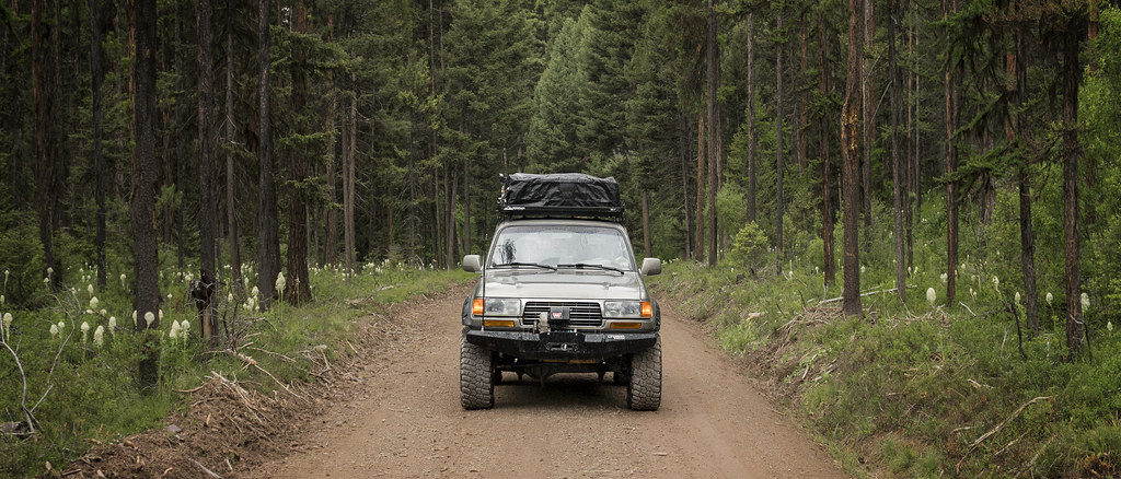
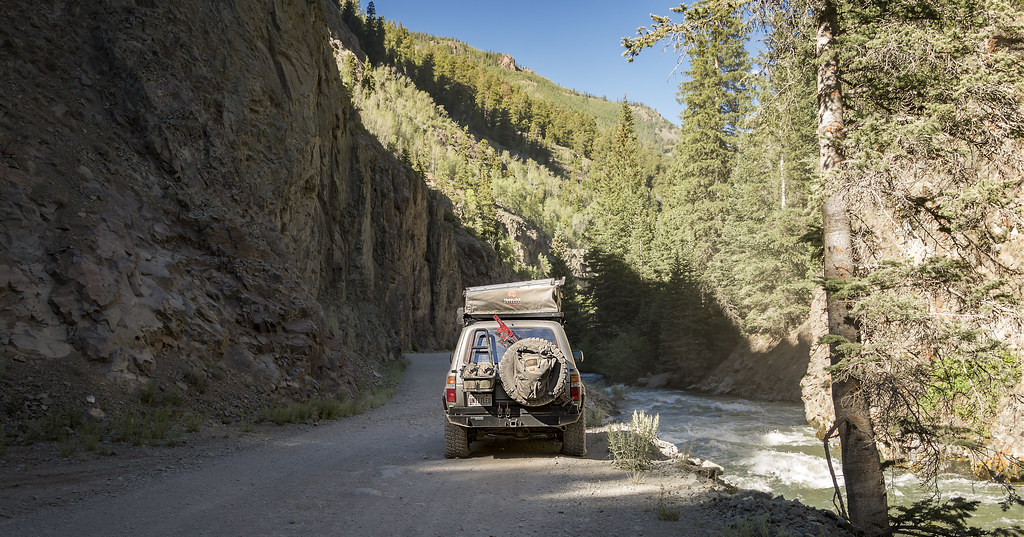
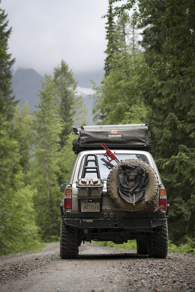
Once hitting Fernie, we stopped for a quick bite and then we were back on the trail. Instead of taking the #3 to Elko we took to a trail/gravel road on the other side of the river. While much more lush, it also afforded little in the way of scenery.
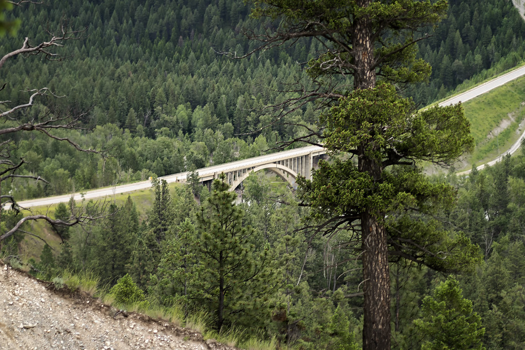
Once you hit Elko, you're back on the highway. You pass the highway turn off and take some back roads that get you somewhat closer to lake Koocanusa but don't actually take you there. All in all, this is simply taking backroads for the sake of taking backroads. Driving an extra 30kms of highway to take an unnecessary 15mins of dirt/gravel roads. If you're interested in taking this overland route, I'd skip this section entirely. Once again, I think the route would've been better served by linking #3, Corbin Road and hwy #93 to the border (or a different border crossing - more on that in Day 2). Regardless, you join Hwy #93 from the west just before the bridge south over the Elk River.
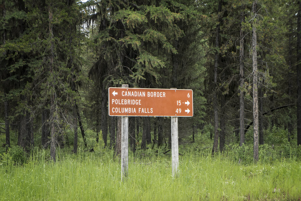
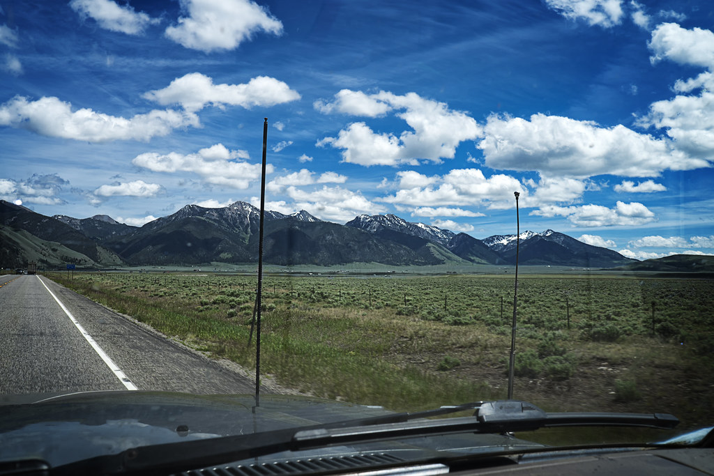
We had an uneventful border crossing at Roosville. Drove another section of road around the Eureka airport that seemed unnecessary. Hit Eureka as the sun was dipping behind the mountains to the west. I then made haste to our campsite. The GPX files that I had of the route came with a number of waypoints for gas and camping spots. I cross referenced them with a website called FreeCampsites.net. That was I could gain a little bit more information on them before I drove down the wrong road and into a "Hills Have Eyes" sort of scenario.
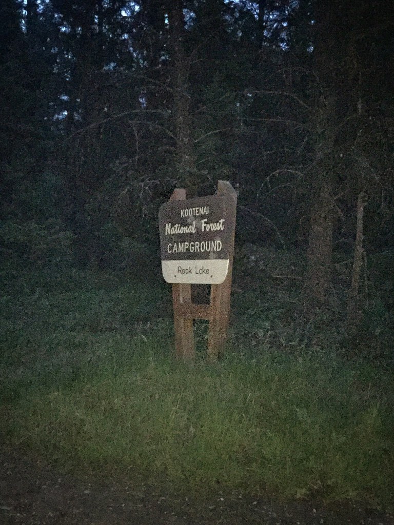
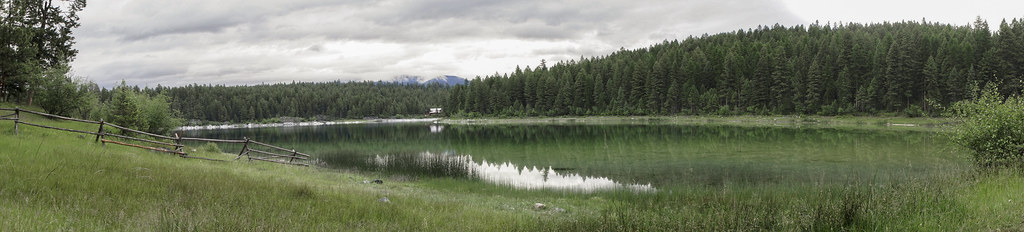
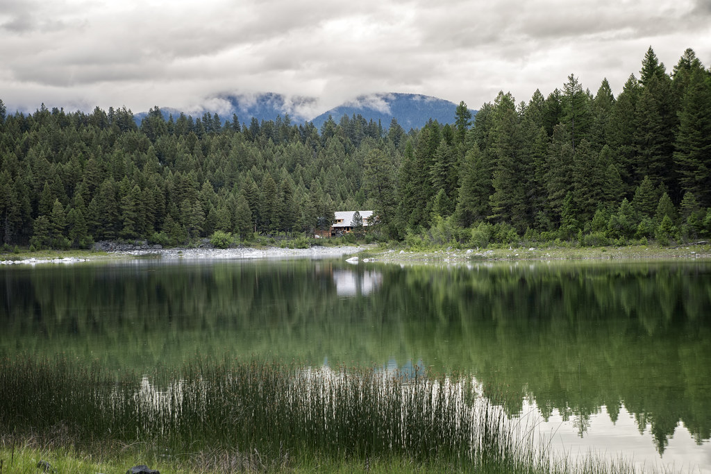
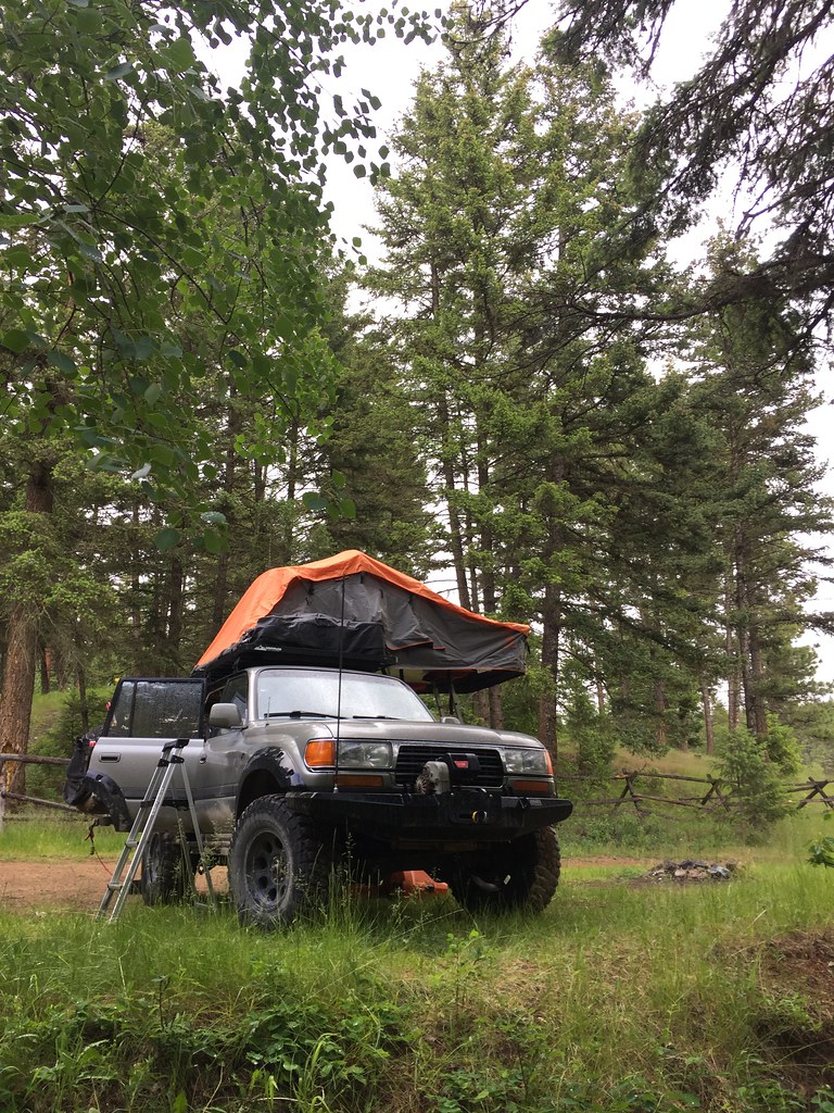
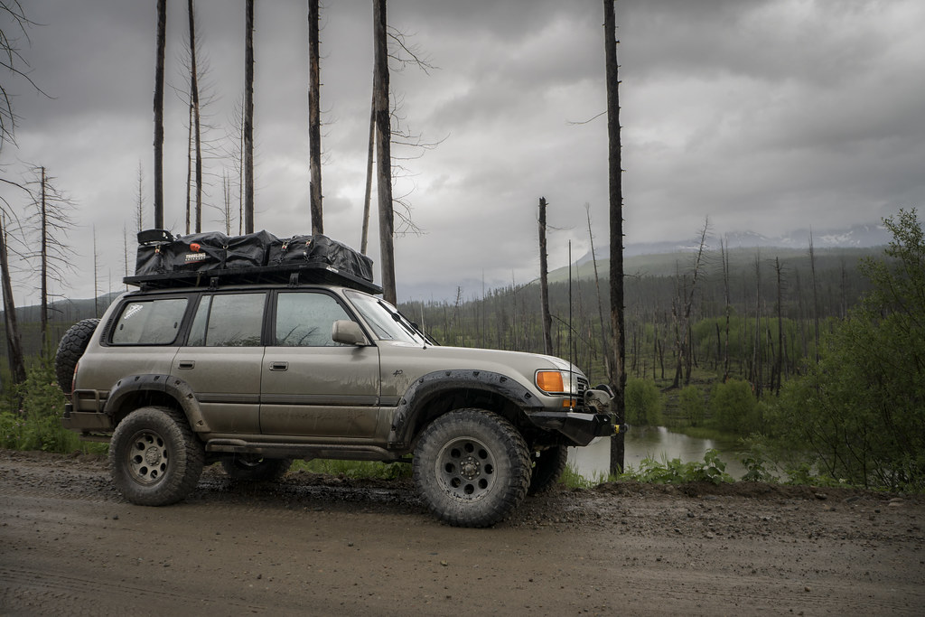
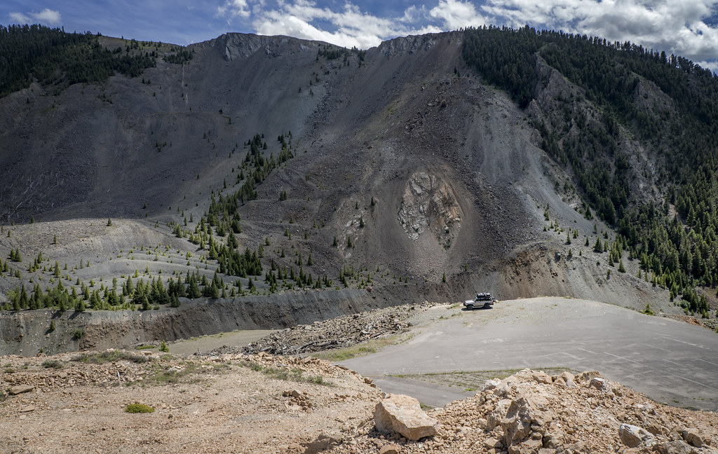
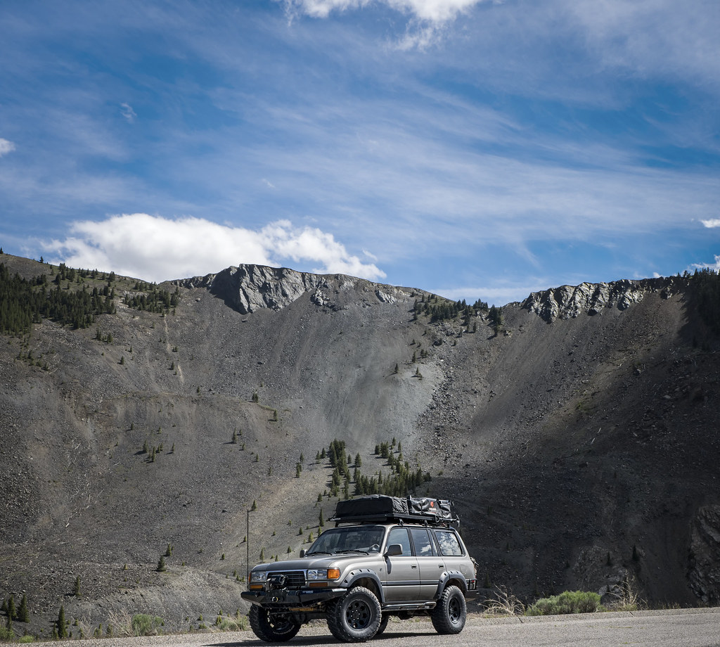
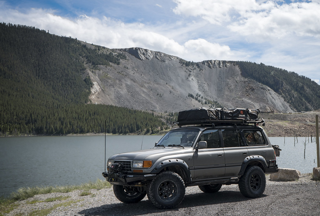
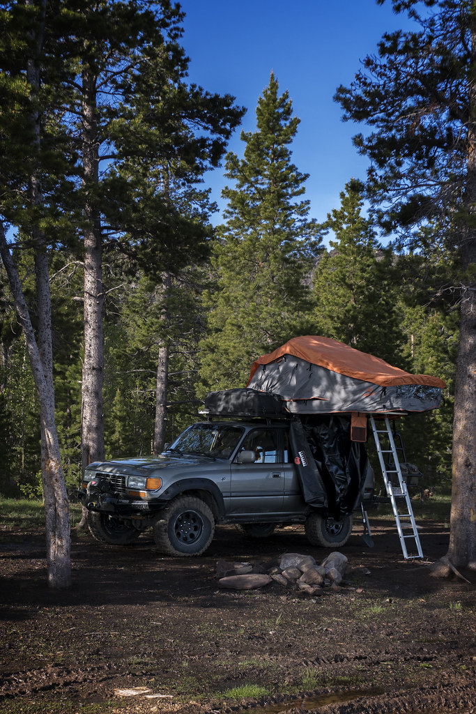
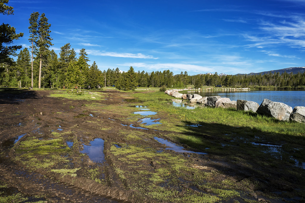
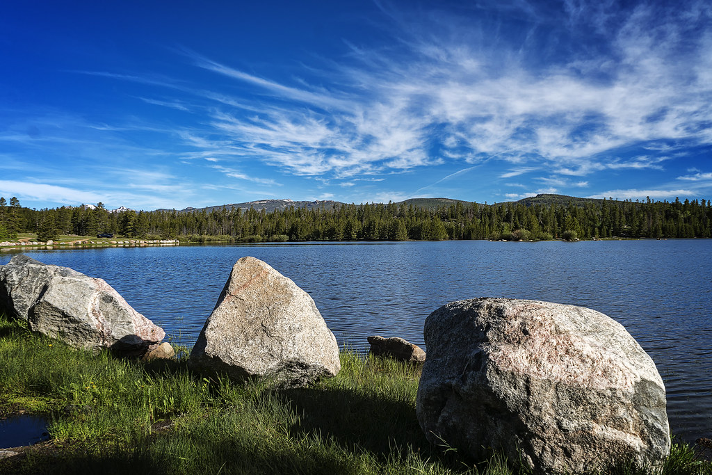
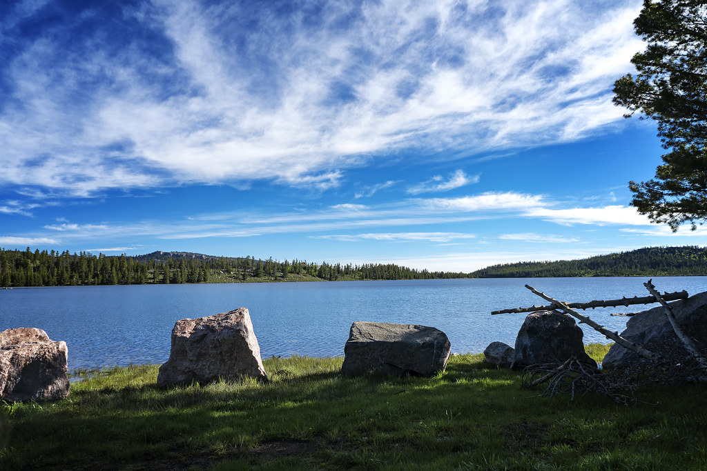
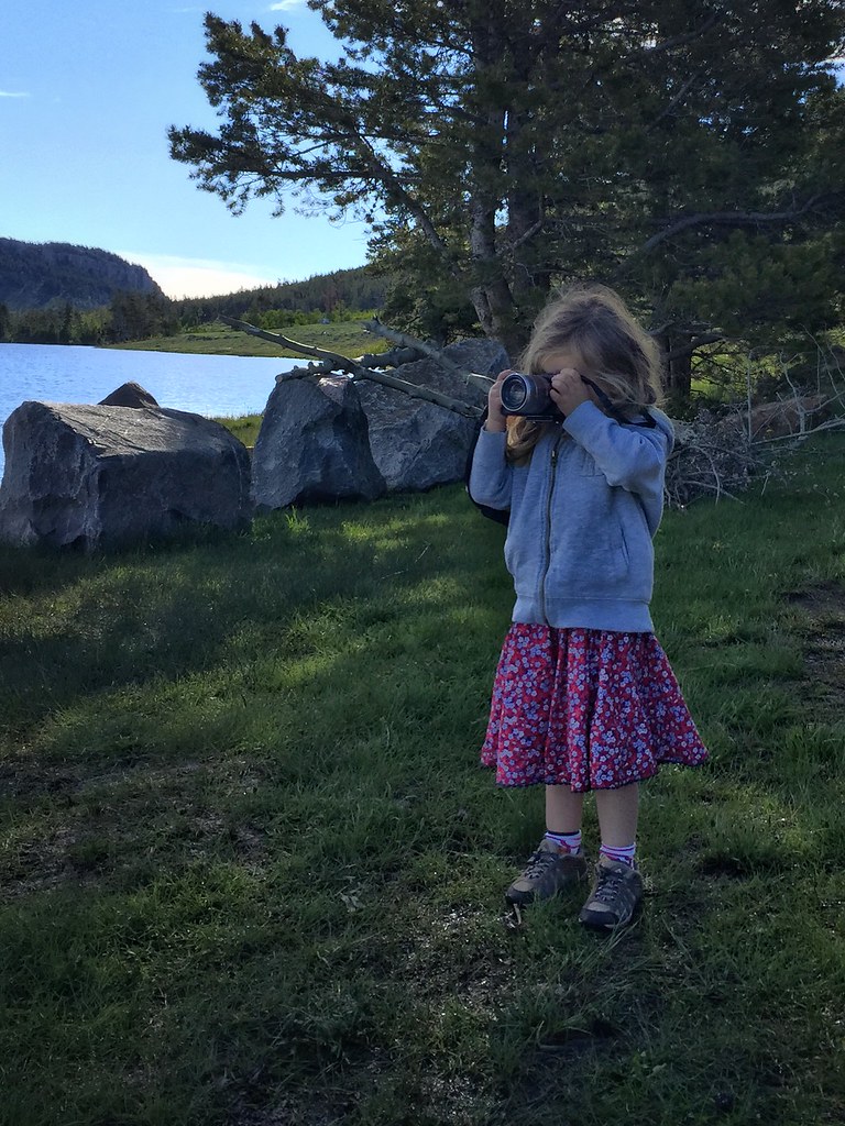
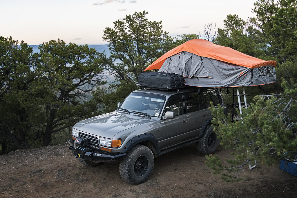
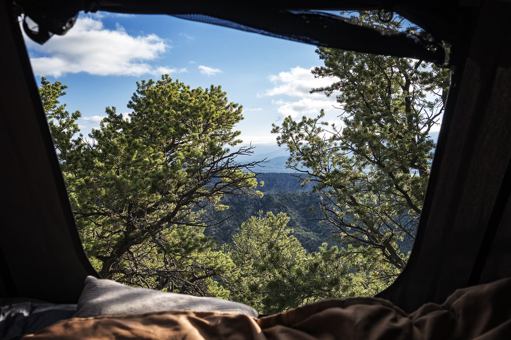
We ended up camping at a spot called Rock Lake. It was a bit of a drive in on a single lane gravel road but were happy to find no one camping there that night. It was dark and couldn't really see anything that was going on in the area or what the views were like. It was late though so I quickly set up the rooftop tent. Piper and I falling asleep until the morning to get some views of the little Rock Lake and get started on Day 2.
Day One - Alberta/BC
From the Highwood Junction in Alberta to the BC border at Roosville and into Montana.
So the route as suggested is a hodgepodge of various roads and trails that get you driving or riding close to the Divide as much as possible. I've got a lot of issues with the route they chose and I'll point it out along the way. Above is the route that I took. The suggested route starts in Banff and I had no plans of backtracking just to take a different Highway to where I did start.
I started at the Highwood Junction. When I pulled into Longview there was still a sign saying that the pass was closed. While trying to look up if it was indeed closed (I had seen pictures from only a few weeks previous from cyclists friends encountering a wall of snow) someone passed and informed me that the sign was wrong and it was indeed open. 5 minutes later I was pulling off onto the Forestry Trunk road and the first gravel of the trip.
I've driven the Forestry Trunk Road countless times but this was the first time with my daughter and I planned on stopping a few times and trying to check some things out. For the first half, before the 'Hump' at Savanah Creek and Hwy 532 there wasn't a whole lot but the views were still incredible.
My daughter Piper had never seen the summit of Hwy 532 before. Colloquially known as "the Hump" it offers a spectacular view from the mountains, down the foothills, out across Chain Lakes and into the prairies. I'd recommend it to anyone, there is also a few hikes from there that are worthwhile as well. Though it was incredibly windy ... Piper was a fan.
We headed back to the 40 and chased a couple waterfalls. Spots I had never bothered to stop before but I was hoping Piper might be entertained because this was going to be a LONG drive. The first one we stopped at was Livingstone Falls. Not sure if this one looked any different before the floods of 2013 but it's a nice enough little waterfall now. It doesn't have a dramatic plummet from a cliff but simply cascades down a 45 degree angle of smooth rock.
Next we headed off for Old Man Falls. A fellow tourist at Livingstone had recommended them though, "he hadn't been in years". It didn't appear to be a long detour so we took off again and headed back northwest following the Old Man River away from the 40. For the life of me couldn't find the damn thing. Not sure if the floods did a number on it or if I was looking in the wrong spot. Piper and I stopped again anyway along the Old Man River and threw a couple rocks at the Old Man. She also grabbed a bouquet of dandelions for her mother who we would be seeing in four days in Denver.
We hammered back to the 40 to continue on way. Back in the day, I would've taken Dutch Creek and Atlas road down to the Pass and maybe even in to BC. However, they have "decommissioned" the road and made it much more interesting for truck travel. As of last year it could still be done but I was on a timeline and didn't want to risk having to back track nearly as much. Still wanting to have a bit of fun on the drive, I instead took a turn west onto the SW section of the Daisy Creek trail.
Not a particularly technical trail, it does provide some great views and longer hill climbs. The hill climb (or descent) on Wedge mountain being one of my favourite sections to photograph. It's one of those rare instances where it looks worse than it is. And the greenery around it is always nice too.
After the climb took a few moments to soak up the scenery. It was becoming obvious though that the clouds were starting to take over and the rain would soon be starting. We were not making very good time and we had to keep moving. The only thing that would speed us up was seeing as how the mountains to the south of Hwy 3 were getting covered in clouds there was no way I would be stopping to take a socked in photo of Crowsnest Mountain from McGillvary.
From here it's only a small descent to the McGillvary staging area. If I wasn't on a timeline and with my daughter I would've taken the route around 7 sisters. Perhaps then one of the 4x4 passes over the divide into BC. With rain coming and many miles before the US border crossing to go I rejoined the GPX track of the Continental Divide route. This was the #3 Crowsnest Highway and a paved mountain pass. Even though it began to rain slightly, we stopped at the "World's Largest Truck" roadside attraction in Sparwood. Far from being the "World's Largest Truck" anymore, there are a few bigger Cats up in the mines in Fort McMurray but it is a nice excuse to stop, stretch your legs and grab some photos. With a little perspective it barely looks bigger than the Cruiser.
Of course when I take photos of it with Piper it truly shows off the scale of the big truck. Even if it isn't the biggest anymore, it is still large enough to drive over a normal vehicle and not even alert the driver there was something underneath.
The GPX track stay on the #3 all the way to Fernie. This was a bit of a disappointment as there are some great trails both to the north and south of the #3 that are worth exploring. I would hazzard a guess that the trail was mostly developed on a computer and not from first hand knowledge of the area. Certainly taking one of the 4x4 passes to the south or north of Hwy #3 and then hitting the Corbin road and linking those trails would've been superior. I was already losing time though and I've decided to improve upon this route for the next time I take it.
Once hitting Fernie, we stopped for a quick bite and then we were back on the trail. Instead of taking the #3 to Elko we took to a trail/gravel road on the other side of the river. While much more lush, it also afforded little in the way of scenery.
Once you hit Elko, you're back on the highway. You pass the highway turn off and take some back roads that get you somewhat closer to lake Koocanusa but don't actually take you there. All in all, this is simply taking backroads for the sake of taking backroads. Driving an extra 30kms of highway to take an unnecessary 15mins of dirt/gravel roads. If you're interested in taking this overland route, I'd skip this section entirely. Once again, I think the route would've been better served by linking #3, Corbin Road and hwy #93 to the border (or a different border crossing - more on that in Day 2). Regardless, you join Hwy #93 from the west just before the bridge south over the Elk River.
We had an uneventful border crossing at Roosville. Drove another section of road around the Eureka airport that seemed unnecessary. Hit Eureka as the sun was dipping behind the mountains to the west. I then made haste to our campsite. The GPX files that I had of the route came with a number of waypoints for gas and camping spots. I cross referenced them with a website called FreeCampsites.net. That was I could gain a little bit more information on them before I drove down the wrong road and into a "Hills Have Eyes" sort of scenario.
We ended up camping at a spot called Rock Lake. It was a bit of a drive in on a single lane gravel road but were happy to find no one camping there that night. It was dark and couldn't really see anything that was going on in the area or what the views were like. It was late though so I quickly set up the rooftop tent. Piper and I falling asleep until the morning to get some views of the little Rock Lake and get started on Day 2.