You are using an out of date browser. It may not display this or other websites correctly.
You should upgrade or use an alternative browser.
You should upgrade or use an alternative browser.
Flatlanders Go West
- Thread starter Mr_Miyagisan
- Start date
Mr_Miyagisan
Adventurer
.
.
N 44°48'8.18"
W 109°21'14.49"
Morrison Switchbacks, WY
.
Subs in hand, we ponder what the trip will look like if we skip Montana and Idaho. We weren't to happy about skipping the area but the thought of having an extra week in both Colorado and Utah sounded great. Few more minutes of research and we made the decision to ax going up north. Next was to decide if we were still going to hit up Utah first. Now being mid September the temps were already dropping in southern Colorado where we were going to be spending most of our time. Finishing up my last few crumbs, Colorado it is.
.
Update family, check.
Find our first stop, check.
Load up and head east, check.
.
With GPS set to an area just north of the Colorado state line in Medicine Bow National Forest. Google says 5 1/2 hours but google doesn't know the Jeep as well as I do.
6 1/2 hours later, pitch black we pull into what I think was a campsite. Lost phone signal and GPS. Good enough for me. Still full from McD's a few hours earlier we set up and crashed.
.
.
.
.
8am. Coffee. Banana Pancakes. Damn this never gets old. At this point of the trip the day to day routine feels normal. Feels like home. And we are loving every minute of it.
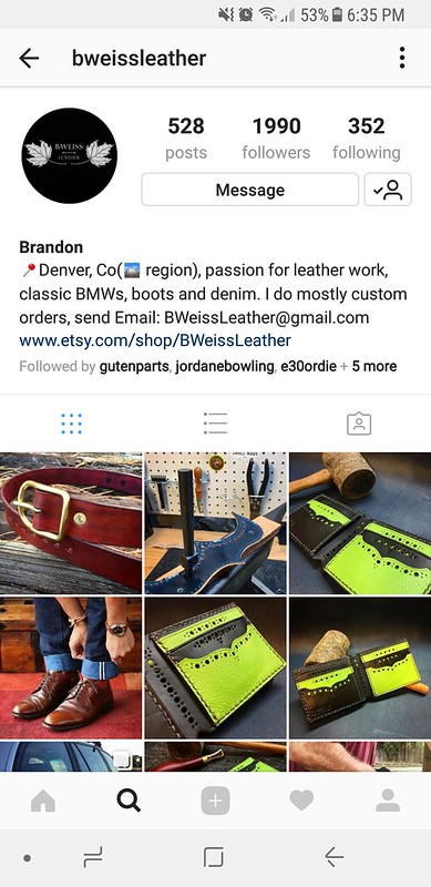
Pack up and drive out with the goal of Denver to stay with a friend that I oddly enough have never met in person. Brandon is a forum friend from years back when I was huge into BMW E30s. We kept up here and there, most of the time from when I was buying some of his handmade leather products. Before the start of the trip he made contact with me saying if we happened to be in the area to stop by. Now that Denver was in the itinerary, Brandon would be our first stop in Colorado.
.
Back on the highway for a few minutes we turn right onto Snake River Spur Road. Heavily washboarded dirt road that dances between WY-CO stateline for 13 or so miles before turning south into Routt National Forest. Passing some massive multi million dollar ranches we made our way through Steamboat Springs, CO, making it to I70 and traveling through the Eisenhower-Johnson Memorial Tunnel. Driving along we get about 10 miles east of Idaho Springs. Jordan yells out that the tire carrier is moving. I look back and sure enough the carrier is swung out about half way, going about 60 MPH I try to tap on the brakes to see if it'll swing back closed but it was too late. The carrier swung out passenger side, feel the Jeep start to squat to that side and WAM! The far side of the carrier hits a guard rail. Crap.
.
Couple ratchet straps later and the carrier is secured. Update Brandon on the delay and called JCR about getting a new latch pin. Corey my sales rep answers up and we work out a plan. New pin is getting overnight shipped to Brandon's house and I should have it to install by 10am. Perfect. $75 later but perfect. Crisis somewhat averted with no delay.
.
We arrive at Brandon's soon after with some beer, ready to relax. Brandon was a great host, some great white Chili. While enjoying catching up on the new Rick & Morty season, start brainstorming ideas on a trade for some leather work and advertising. My social media page starting gaining some traction during this trip so in trade we decided he could throw together a new collar and leash for Domo and we would then do some good pictures and do a little advertising for him.
.
Head down into the small shop he has put together in the basement. The smell of leather fills the room. Stamping tools, an anvil, leather scrapes laying on, great scene. We put Domo up of the table and get some neck measurements off of him and Brandon got to work. A site to see, someone working their craft. Measure, cut, punch, cooper rivets, stitch. Work of art seeing him meticulously work on a seemingly simple dog collar. The time and attention to detail though is why I like Brandon's products. Small details never overlooked and that's where I feel it counts the most. With the collar done we give it a test fit and it turns out just right. Domo is looking real snazzy now.
.
Lights out, yawning we head back up stairs from the basement. One more beer and we hit the hay.
.
.
.
The next morning waking up to the smell of coffee and homemade waffles, Brandon nails it again. Just as we finish breakfast the doorbell rings. 9:23am. Latch pin is here. Break out the tools, time to get the carrier operational again. After about 30 minutes of aligning we get the pin set, with locktite this time.
Head back inside and Jordan has the laundry done, another nicety Brandon did for us.
.
Packed up the Jeep and say our goodbyes. Cant thank Brandon enough for all the things he did for us and with a shameless plug, anyone looking for great handcrafted leather goods like belts, wallets, watch straps, collars, or any custom work, I recommend no one but Brandon.
You can see his products on
Instagram: @Bweissleather
Facebook: BWeiss
Etsy: www.etsy.com/shop/BWeissLeather
.
We head west back up I70 towards Mt. Evans at the recommendation of Brandon. Mt. Evans is the highest paved road in North America at 14,120 feet, out doing the more famous Pikes Peak by a whopping 5 feet. From what I was told back in the day there was a competition between the governments of Denver and Colorado Springs for tourism. Colorado Springs had Pikes Peak and not to be out done, Denver decided to pave Mt. Evans.
.
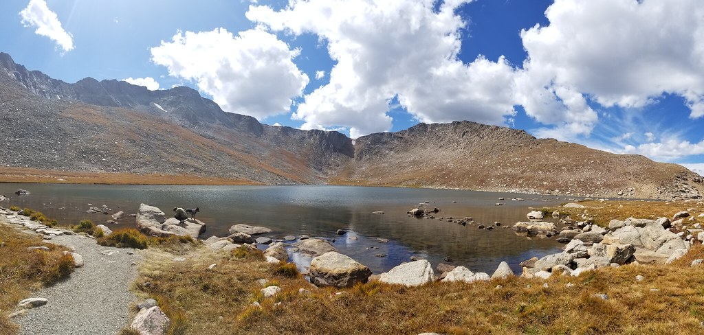
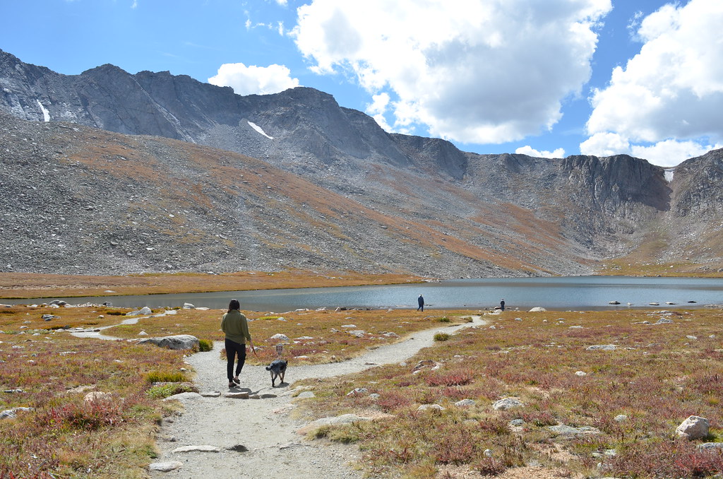
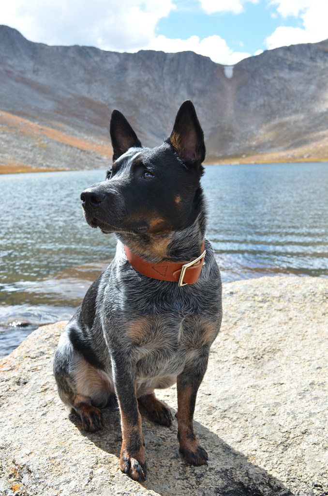
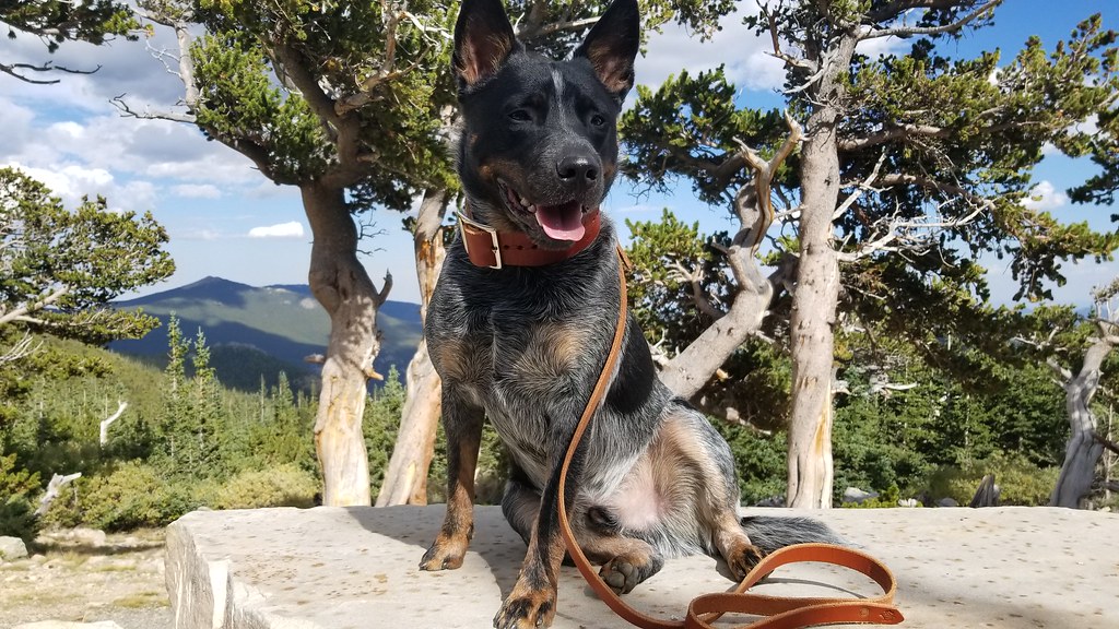
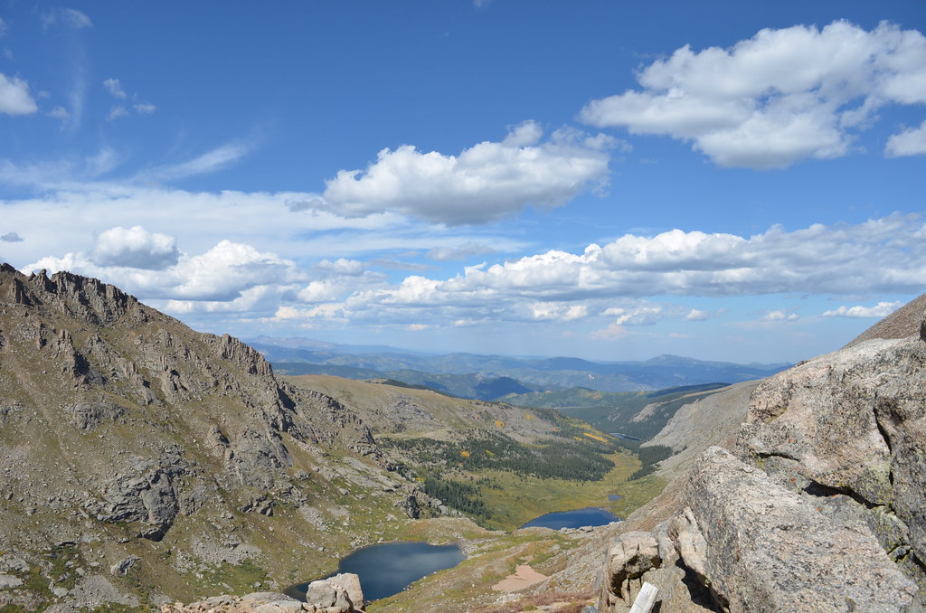
Crossing through the park gate we start the climb of 7,000 over the course of 28 miles. As we climb the Jeep gets hot. Several pull offs to let it cool down some. We find out the highest we would be able to go is Summit lake at 12,836 feet. The park closes the road higher than that for the winter season. No problem for us though, Jordan seemed to be feeling that altitude already. Hop out of the Jeep to hike around the lake a bit and take a few glamor shots of Domo. Absolutely gorgeous, Colorado was already becoming our favorite state.
DSC_3229 by Emerson Bowling, on Flickr
DSC_3253 by Emerson Bowling, on Flickr
20170912_153705 by Emerson Bowling, on Flickr
DSC_3274 by Emerson Bowling, on Flickr

20170912_151731 by Emerson Bowling, on Flickr.
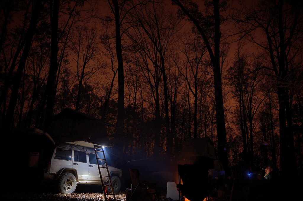
We started the drive back down to earth, heading to Breckenridge for the night. Not the stop n shop kind of people we head up a side road out of town to start looking for a free place to camp for the night. Outside of Breckenridge is a maze of forest roads in the surrounding Arapaho National Forest. So much of a maze that I actually don't even know where we camped for the night. We putted the Jeep up, down and around the mountains for a bit. All fine and dandy until....
.
BAM! Oh I did it this time.
.
Rear glass everywhere. While backing up to return to a place we passed up to camp a mile up the trail, I reversed into one of those seldom seen moving trees. You know the ones that weren't there the first time you looked back. Found one!
.
Get out of the XJ to take a look at my shame. Rear glass completely shattered, AWESOME. Guess we can start cleaning this mess up. Go to open the hatch, wont open, AWESOME. Decide our best bet is to clear out the back of the jeep of all our gear and kick the door from the inside. Instructing Jordan to hold the hatch latch open, I start kicking. Little dry heaving later and the hatch is open, AWESOME. Finish cleaning out most of glass and start loading back up. Now I'm not going to play the blame game but either me OR Jordan accidently closed the hatch back up. Guess the safe bet is to blame the dog. So shifting around the gear in the back of the Jeep again we assume the hatch opening position. Kick, Kick, Kick, scream. Hatch swings open but this time Jordan had her thumb in a different position. Feel terrible as we now asses her damage, most likely broken. Felt so guilty.
.
Grabbing some ice from the cooler she sits out the rest of the gear upload. We make it back into the flat ground we spotted earlier. Jordan eats up the last pot cookie to take the edge off while I grill up the steak and rice for dinner. What a day of events.
.
.
.
N 44°48'8.18"
W 109°21'14.49"
Morrison Switchbacks, WY
September 10th
..
Subs in hand, we ponder what the trip will look like if we skip Montana and Idaho. We weren't to happy about skipping the area but the thought of having an extra week in both Colorado and Utah sounded great. Few more minutes of research and we made the decision to ax going up north. Next was to decide if we were still going to hit up Utah first. Now being mid September the temps were already dropping in southern Colorado where we were going to be spending most of our time. Finishing up my last few crumbs, Colorado it is.
.
Update family, check.
Find our first stop, check.
Load up and head east, check.
.
With GPS set to an area just north of the Colorado state line in Medicine Bow National Forest. Google says 5 1/2 hours but google doesn't know the Jeep as well as I do.
6 1/2 hours later, pitch black we pull into what I think was a campsite. Lost phone signal and GPS. Good enough for me. Still full from McD's a few hours earlier we set up and crashed.
.
.
.
September 11th
..
8am. Coffee. Banana Pancakes. Damn this never gets old. At this point of the trip the day to day routine feels normal. Feels like home. And we are loving every minute of it.
Pack up and drive out with the goal of Denver to stay with a friend that I oddly enough have never met in person. Brandon is a forum friend from years back when I was huge into BMW E30s. We kept up here and there, most of the time from when I was buying some of his handmade leather products. Before the start of the trip he made contact with me saying if we happened to be in the area to stop by. Now that Denver was in the itinerary, Brandon would be our first stop in Colorado.
.
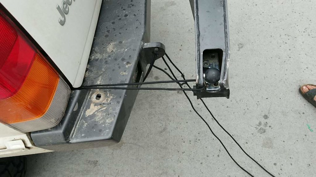
Back on the highway for a few minutes we turn right onto Snake River Spur Road. Heavily washboarded dirt road that dances between WY-CO stateline for 13 or so miles before turning south into Routt National Forest. Passing some massive multi million dollar ranches we made our way through Steamboat Springs, CO, making it to I70 and traveling through the Eisenhower-Johnson Memorial Tunnel. Driving along we get about 10 miles east of Idaho Springs. Jordan yells out that the tire carrier is moving. I look back and sure enough the carrier is swung out about half way, going about 60 MPH I try to tap on the brakes to see if it'll swing back closed but it was too late. The carrier swung out passenger side, feel the Jeep start to squat to that side and WAM! The far side of the carrier hits a guard rail. Crap.
.
Couple ratchet straps later and the carrier is secured. Update Brandon on the delay and called JCR about getting a new latch pin. Corey my sales rep answers up and we work out a plan. New pin is getting overnight shipped to Brandon's house and I should have it to install by 10am. Perfect. $75 later but perfect. Crisis somewhat averted with no delay.
.
We arrive at Brandon's soon after with some beer, ready to relax. Brandon was a great host, some great white Chili. While enjoying catching up on the new Rick & Morty season, start brainstorming ideas on a trade for some leather work and advertising. My social media page starting gaining some traction during this trip so in trade we decided he could throw together a new collar and leash for Domo and we would then do some good pictures and do a little advertising for him.
.
Head down into the small shop he has put together in the basement. The smell of leather fills the room. Stamping tools, an anvil, leather scrapes laying on, great scene. We put Domo up of the table and get some neck measurements off of him and Brandon got to work. A site to see, someone working their craft. Measure, cut, punch, cooper rivets, stitch. Work of art seeing him meticulously work on a seemingly simple dog collar. The time and attention to detail though is why I like Brandon's products. Small details never overlooked and that's where I feel it counts the most. With the collar done we give it a test fit and it turns out just right. Domo is looking real snazzy now.
.
Lights out, yawning we head back up stairs from the basement. One more beer and we hit the hay.
.
.
September 12th
..
The next morning waking up to the smell of coffee and homemade waffles, Brandon nails it again. Just as we finish breakfast the doorbell rings. 9:23am. Latch pin is here. Break out the tools, time to get the carrier operational again. After about 30 minutes of aligning we get the pin set, with locktite this time.
Head back inside and Jordan has the laundry done, another nicety Brandon did for us.
.
Packed up the Jeep and say our goodbyes. Cant thank Brandon enough for all the things he did for us and with a shameless plug, anyone looking for great handcrafted leather goods like belts, wallets, watch straps, collars, or any custom work, I recommend no one but Brandon.
You can see his products on
Instagram: @Bweissleather
Facebook: BWeiss
Etsy: www.etsy.com/shop/BWeissLeather
.
We head west back up I70 towards Mt. Evans at the recommendation of Brandon. Mt. Evans is the highest paved road in North America at 14,120 feet, out doing the more famous Pikes Peak by a whopping 5 feet. From what I was told back in the day there was a competition between the governments of Denver and Colorado Springs for tourism. Colorado Springs had Pikes Peak and not to be out done, Denver decided to pave Mt. Evans.
.
Crossing through the park gate we start the climb of 7,000 over the course of 28 miles. As we climb the Jeep gets hot. Several pull offs to let it cool down some. We find out the highest we would be able to go is Summit lake at 12,836 feet. The park closes the road higher than that for the winter season. No problem for us though, Jordan seemed to be feeling that altitude already. Hop out of the Jeep to hike around the lake a bit and take a few glamor shots of Domo. Absolutely gorgeous, Colorado was already becoming our favorite state.

DSC_3229 by Emerson Bowling, on Flickr

DSC_3253 by Emerson Bowling, on Flickr

20170912_153705 by Emerson Bowling, on Flickr

DSC_3274 by Emerson Bowling, on Flickr

20170912_151731 by Emerson Bowling, on Flickr
We started the drive back down to earth, heading to Breckenridge for the night. Not the stop n shop kind of people we head up a side road out of town to start looking for a free place to camp for the night. Outside of Breckenridge is a maze of forest roads in the surrounding Arapaho National Forest. So much of a maze that I actually don't even know where we camped for the night. We putted the Jeep up, down and around the mountains for a bit. All fine and dandy until....
.
BAM! Oh I did it this time.
.
Rear glass everywhere. While backing up to return to a place we passed up to camp a mile up the trail, I reversed into one of those seldom seen moving trees. You know the ones that weren't there the first time you looked back. Found one!
.
Get out of the XJ to take a look at my shame. Rear glass completely shattered, AWESOME. Guess we can start cleaning this mess up. Go to open the hatch, wont open, AWESOME. Decide our best bet is to clear out the back of the jeep of all our gear and kick the door from the inside. Instructing Jordan to hold the hatch latch open, I start kicking. Little dry heaving later and the hatch is open, AWESOME. Finish cleaning out most of glass and start loading back up. Now I'm not going to play the blame game but either me OR Jordan accidently closed the hatch back up. Guess the safe bet is to blame the dog. So shifting around the gear in the back of the Jeep again we assume the hatch opening position. Kick, Kick, Kick, scream. Hatch swings open but this time Jordan had her thumb in a different position. Feel terrible as we now asses her damage, most likely broken. Felt so guilty.
.
Grabbing some ice from the cooler she sits out the rest of the gear upload. We make it back into the flat ground we spotted earlier. Jordan eats up the last pot cookie to take the edge off while I grill up the steak and rice for dinner. What a day of events.
.
.
continued on next post....
Last edited:
Mr_Miyagisan
Adventurer
Part III Continued
.
.
September 13th
..
.
September 13th
.
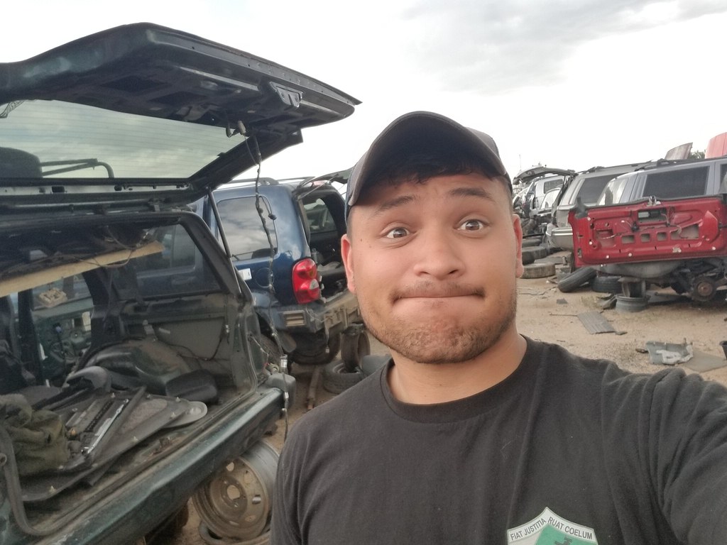
Everything seems to take twice the amount of time now that my partner is sitting the bench. We head back down the mountain to head to Colorado Springs. Googling a pick and pull looking for a new hatch. Located a place with a few Cherokees in the yard and set the GPS. Come into the parking lot I grab up the tool bag and head inside the fence. Walk row after row looking to the Jeeps, there they are. 10 minutes and $70 later I'm rolling a red hatch and a new tail light (busted in the tire carrier incident). Tight fit but the hatch is loaded into the back of the Jeep and we set the GPS to a ready med. Jordan's thumb is still extremely swollen and painful, decided our safest bet is to get it checked out. Who would of thought our first couple stops in C. Springs would be a junk yard and a medical facility.
 20170913_142656 by Emerson Bowling, on Flickr
.
Xray done. Broken thumb, 5 or 6 weeks til its healed. Well damn.
.
With the turn of events, I made the call to stay at a hotel for the night. Being in the military affords me a network of hotels at each base we can stay at for a flat rate of $60 anywhere in the world. We made our way through the gate at Peterson AFB and grab a hotel room. This works out great as a way to let Jordan relax and give me a safe place to change out the new-to-me hatch.
.
Make a run into town after getting Jordan situated. Needed some torx bits for the hatch job and some grub for the night. With a Chipotle burrito in my belly I headed into the parking lot to swap in my sweet red hatch.
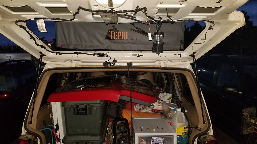 20170913_193204 by Emerson Bowling, on Flickr
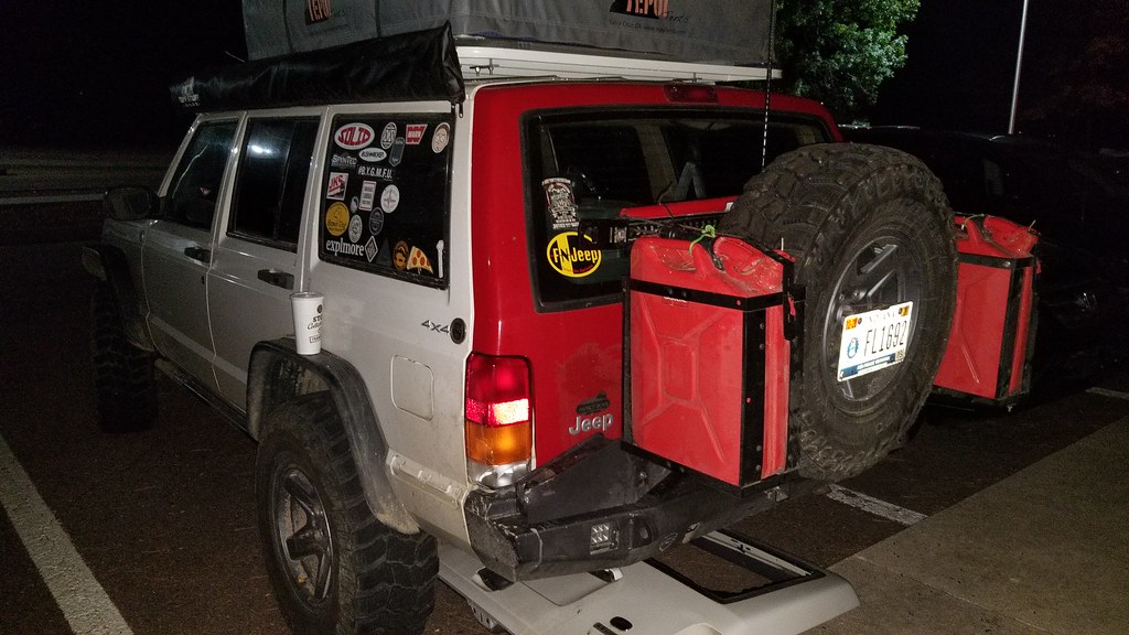 20170913_205759 by Emerson Bowling, on Flickr
.
Changed in about an hour, I make it back inside to Jordan already sleeping. I Join her after a hectic day, nice to be in a bed.
.
.
TO BE CONTINUED....
Last edited:
JandDGreens
Adventurer
Bummer Jordan got hurt, but you two will probably be telling the story well into your old age. Love following your trip!
Mr_Miyagisan
Adventurer
.
.
N38°49'22.19"
W104°41'49.34"
Colorado Springs, Co
.
Morning at Peterson AFB. With the new hatch and sore thumb we head to the McD's on base to grab some quick food before heading out to see a few local sites. Manitou Cliff Dwellings, Pub Dog, and Pikes Peak. A very dog friendly day in what seemed like one of the most dog friendly cities in the country. Its great to be able to travel freely with your dog, especially when we are across the country, couldn't imagine leaving the pup in a kennel.
.
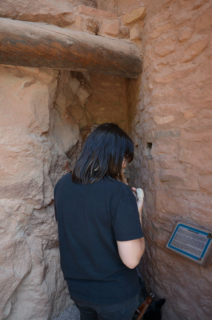
Pull into the cliff dwellings and it was packed. Surprise. Find a parking spot and starting walking around. Too be honest I'm not the greatest at enjoying the typical touristy things. Spent about 45 minutes looking around and going through the museum/gift shop. Don't get me wrong its was cool to see, just not my favorite thing to do when on vacation.
.
.
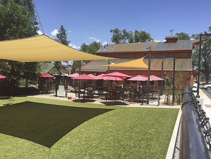
After Manitou was a food break, at recommendation from a friend we were heading to a restaurant that is a dog heaven. Pub Dog is a small brewery that has a small fenced dog park attached to it. Order your food and drinks then you head into the park to let your dog run. All kinds of pups running around. Really cool spot.
.
NOT MY PHOTO
.
Full on burger we head out to Pikes Peak. Awesome drive up to the mountain. We were able to go up to the top, unlike Mt. Evans. Some photos in the wind and cold and we start heading right back down.
.
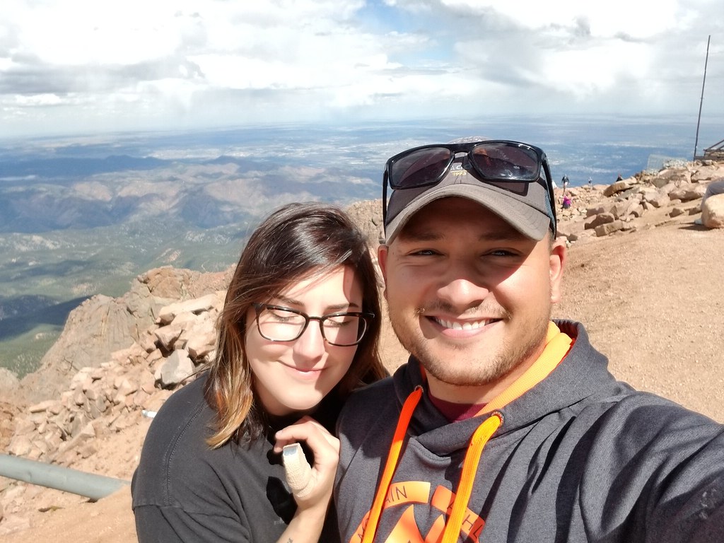
20170914_135346 by Emerson Bowling, on Flickr
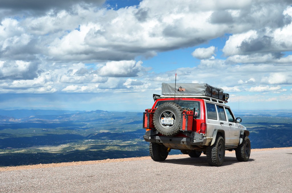
IMG_20170916_202045_686 by Emerson Bowling, on Flickr.
Heading to a campsite called Thunder Ridge, part of the Rampart Reservoir Recreation Area. Roll up to the site look around to find a site in a somewhat full campground. See a clean water pump, figured we were here might as well fill up cause the site we ended up settling for as nowhere near one. Pull out the container and the host comes out of nowhere and starts yelling at us that we HAVE to pay for a site before we get a drop of water. Okay lady, have all intensions on paying for site #2. No, pay first. Okayyyyy, Jesus. She literally watched me drop that site money in the deposit box before leaving us alone. Wont stay here again.
.
.
.
The next morning the crazy camp host lady starts making her rounds, asking if anyone is staying another night. 3 hours before the cut off time even. We packed up and left.
.
Goal today is to head west towards Ouray. But first, Garden of the gods. Really cool patch of land saved from the development of C. Springs around it. Me being into rock climbing, this way a cool stop. Climbers have set routes all over the place. Wouldn't mind at a later date just coming out for a week and just climbing the park.
.
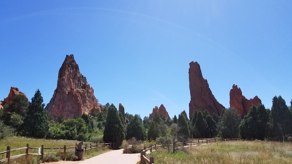
20170915_133022 by Emerson Bowling, on Flickr

DSC_3325 by Emerson Bowling, on Flickr
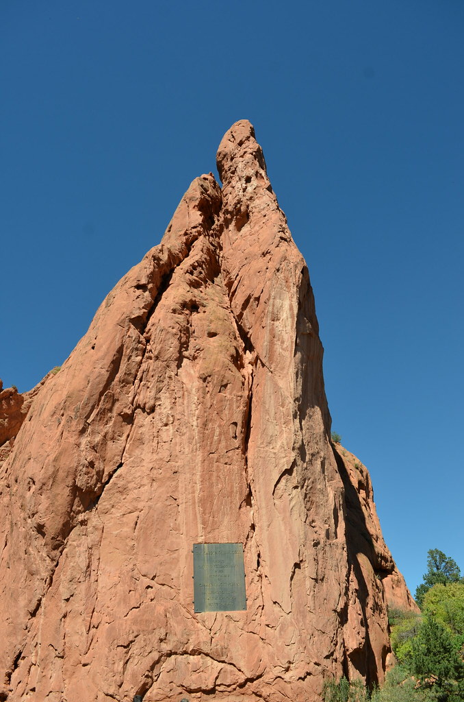
DSC_3332 by Emerson Bowling, on Flickr.
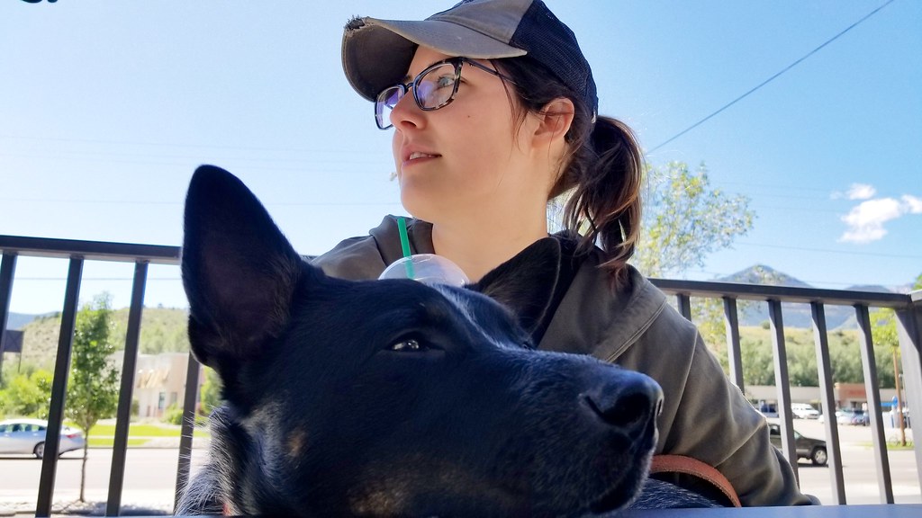
After seeing leaving the GotG we stop at a Starbucks just down road. Sitting in the sun and soaking up our latte and pumpkin muffins I couldn't help but think about how perfect everything is. Between breaking hatches and thumbs we felt like we were back in the rhythm of things. Loving Colorado and thinking about the rest of the week or so in the San Juan mountains, it is only going to get better. Twist of the key and we are back on the road. Taking 115 south out of C. Springs we turn west onto 50, this road will take us to Gunnison, CO in the area where I figured we could stop for the night.
.
.
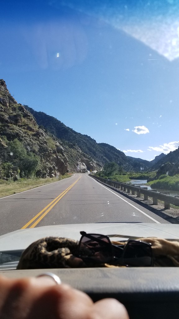
Really awesome road to travel on. Runs in a few valleys along a section of the Arkansas River and then Gunnison River. Beautiful.
.
.
Having really no idea where we were going to stop and losing daylight, I zoom out on google maps find a road heading into National Forest land. Found a road in Gunnison NF and set a drop point. I might mess up the following road names but after some searching while writing this, I finally found where we camped at on this night.
Turning north in the "town" of Parlin we headed up Co Rd 76 for about 9 miles into another small town named Ohio City. Just outside of town, which looked to have just a general store we turned left onto Co Rd 771. We drove up this bumpy gravel road for another 7.5 miles until we found a large pull of with a few fire rings in it. Works for me, especially with the sun going down in the valley. This spot was right off of Gold Creek in New Dollar Gulch. With the View of two peaks, Broncho Mountain and Fairview Peak, this was another one of my favorites spots.. and of course it was free. Disappointed in myself for not taking more pictures of the area.
.
.
.
Woke up to the Moo of cows in the camp, the free range alarm clocks never get old. Quick Banana pancakes and coffee and I started packing up camp.
.
.
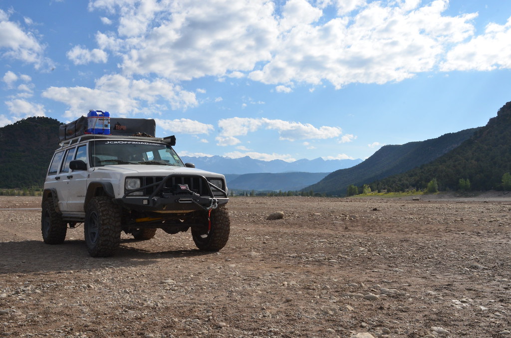
Heading back down the road onto US 50 we crossed a two bridges on the Gunnison river. Montrose the next city to be hit. Into Montrose we tuned south on to US 550. Ouray here we come, but first... Walmart. look at the weekly temps and seeing thast we were going to bet at altitude for the next week we need to stock up on some cold weather gear, couple fleece blankets,some button up long sleeve shirts, sock hats and we were set. Back on US 550 south we get just north of Ridgeway and spot the Ridgeway Reservoir/ Ridgeway State Park. The reservoir has a beach that you can drive on right up to the shore and having never driven on one before we figured we might as well, we have time.
Parked on the beach we run Domo to burn off some energy and I take a few pictures of the Jeep.
.
Again packed up, we finally make our way into Ouray. OH MY. Absolutely stunning, no wonder its such a huge tourist spot. Tiny town nestled in a bowl with walls of mountain in every direction. Quick google we find a dog friendly place to eat, Gold Belt Bar and Grill. Buy up a few Colorado brews and a pizza.
Shock number one of Ouray, EVERYTHING is expensive. Put down most of the pizza and box the rest for later I google a spot for the night. Angel Creek Campground, very primitive and a very rough road in the campground. Almost wanted to stop and disconnect the swaybar because it was that rough. Get to the back of the campground and found a good site. Someone even left us some firewood, thanks previous resident of site #8. First night in the San Juans, clear skies.
.
.
The next few days are going to be eventful, Alpine Loop, Poughkeepie Gulch, Imogene Pass and Black Bear Pass.
.
.
.
N38°49'22.19"
W104°41'49.34"
Colorado Springs, Co
September 14th
..
Morning at Peterson AFB. With the new hatch and sore thumb we head to the McD's on base to grab some quick food before heading out to see a few local sites. Manitou Cliff Dwellings, Pub Dog, and Pikes Peak. A very dog friendly day in what seemed like one of the most dog friendly cities in the country. Its great to be able to travel freely with your dog, especially when we are across the country, couldn't imagine leaving the pup in a kennel.
.
Pull into the cliff dwellings and it was packed. Surprise. Find a parking spot and starting walking around. Too be honest I'm not the greatest at enjoying the typical touristy things. Spent about 45 minutes looking around and going through the museum/gift shop. Don't get me wrong its was cool to see, just not my favorite thing to do when on vacation.
.
.
After Manitou was a food break, at recommendation from a friend we were heading to a restaurant that is a dog heaven. Pub Dog is a small brewery that has a small fenced dog park attached to it. Order your food and drinks then you head into the park to let your dog run. All kinds of pups running around. Really cool spot.
.
NOT MY PHOTO
.
Full on burger we head out to Pikes Peak. Awesome drive up to the mountain. We were able to go up to the top, unlike Mt. Evans. Some photos in the wind and cold and we start heading right back down.
.

20170914_135346 by Emerson Bowling, on Flickr

IMG_20170916_202045_686 by Emerson Bowling, on Flickr
Heading to a campsite called Thunder Ridge, part of the Rampart Reservoir Recreation Area. Roll up to the site look around to find a site in a somewhat full campground. See a clean water pump, figured we were here might as well fill up cause the site we ended up settling for as nowhere near one. Pull out the container and the host comes out of nowhere and starts yelling at us that we HAVE to pay for a site before we get a drop of water. Okay lady, have all intensions on paying for site #2. No, pay first. Okayyyyy, Jesus. She literally watched me drop that site money in the deposit box before leaving us alone. Wont stay here again.
.
.
September 15th
..
The next morning the crazy camp host lady starts making her rounds, asking if anyone is staying another night. 3 hours before the cut off time even. We packed up and left.
.
Goal today is to head west towards Ouray. But first, Garden of the gods. Really cool patch of land saved from the development of C. Springs around it. Me being into rock climbing, this way a cool stop. Climbers have set routes all over the place. Wouldn't mind at a later date just coming out for a week and just climbing the park.
.

20170915_133022 by Emerson Bowling, on Flickr

DSC_3325 by Emerson Bowling, on Flickr

DSC_3332 by Emerson Bowling, on Flickr
After seeing leaving the GotG we stop at a Starbucks just down road. Sitting in the sun and soaking up our latte and pumpkin muffins I couldn't help but think about how perfect everything is. Between breaking hatches and thumbs we felt like we were back in the rhythm of things. Loving Colorado and thinking about the rest of the week or so in the San Juan mountains, it is only going to get better. Twist of the key and we are back on the road. Taking 115 south out of C. Springs we turn west onto 50, this road will take us to Gunnison, CO in the area where I figured we could stop for the night.
.
.
Really awesome road to travel on. Runs in a few valleys along a section of the Arkansas River and then Gunnison River. Beautiful.
.
.
Having really no idea where we were going to stop and losing daylight, I zoom out on google maps find a road heading into National Forest land. Found a road in Gunnison NF and set a drop point. I might mess up the following road names but after some searching while writing this, I finally found where we camped at on this night.
Turning north in the "town" of Parlin we headed up Co Rd 76 for about 9 miles into another small town named Ohio City. Just outside of town, which looked to have just a general store we turned left onto Co Rd 771. We drove up this bumpy gravel road for another 7.5 miles until we found a large pull of with a few fire rings in it. Works for me, especially with the sun going down in the valley. This spot was right off of Gold Creek in New Dollar Gulch. With the View of two peaks, Broncho Mountain and Fairview Peak, this was another one of my favorites spots.. and of course it was free. Disappointed in myself for not taking more pictures of the area.
.
.
September 16th
..
Woke up to the Moo of cows in the camp, the free range alarm clocks never get old. Quick Banana pancakes and coffee and I started packing up camp.
.
.
Heading back down the road onto US 50 we crossed a two bridges on the Gunnison river. Montrose the next city to be hit. Into Montrose we tuned south on to US 550. Ouray here we come, but first... Walmart. look at the weekly temps and seeing thast we were going to bet at altitude for the next week we need to stock up on some cold weather gear, couple fleece blankets,some button up long sleeve shirts, sock hats and we were set. Back on US 550 south we get just north of Ridgeway and spot the Ridgeway Reservoir/ Ridgeway State Park. The reservoir has a beach that you can drive on right up to the shore and having never driven on one before we figured we might as well, we have time.
Parked on the beach we run Domo to burn off some energy and I take a few pictures of the Jeep.
.
Again packed up, we finally make our way into Ouray. OH MY. Absolutely stunning, no wonder its such a huge tourist spot. Tiny town nestled in a bowl with walls of mountain in every direction. Quick google we find a dog friendly place to eat, Gold Belt Bar and Grill. Buy up a few Colorado brews and a pizza.
Shock number one of Ouray, EVERYTHING is expensive. Put down most of the pizza and box the rest for later I google a spot for the night. Angel Creek Campground, very primitive and a very rough road in the campground. Almost wanted to stop and disconnect the swaybar because it was that rough. Get to the back of the campground and found a good site. Someone even left us some firewood, thanks previous resident of site #8. First night in the San Juans, clear skies.
.
.
The next few days are going to be eventful, Alpine Loop, Poughkeepie Gulch, Imogene Pass and Black Bear Pass.
.
.
To be continued...
Last edited:
JandDGreens
Adventurer
:camping: I am so looking forward to next August, I'll be down in the Ouray area for a 4-day weekend. I love it down there! Did you take the time to hike the Box canyon? When we went down to Durango we stopped in Ouray for lunch and to hike Box canyon. Was a good break from driving so much.
You look like you had a great time!!!!
You look like you had a great time!!!!
Mr_Miyagisan
Adventurer
sadly we didn't really do much of any hiking other than hopping out of the jeep here and there to see a few things off the trail:camping: I am so looking forward to next August, I'll be down in the Ouray area for a 4-day weekend. I love it down there! Did you take the time to hike the Box canyon? When we went down to Durango we stopped in Ouray for lunch and to hike Box canyon. Was a good break from driving so much.
You look like you had a great time!!!!
thanks for reading!Great write-up and photos ! Im excited to read the next chapter!
thanks for reading! I'm like that now too reading other peoples trips and planning our nextthanks for sharing, nice to day dream for 30 minutes. great pictures too.
Mr_Miyagisan
Adventurer
Is your Instagram disabled?
Fixed now. I changed my username a while back, forgot to change the link here
seeNik48
Adventurer
I am enjoying your explorations. You write engagingly and I feel I am along for the ride. And, I do agree with you about national parks; Yellowstone was the worst because as you say, people get out to photograph/video while leaving cars running and doors open. Didn't they read the Park literature? The best part was your retelling Of the Morrison switchbacks and USFS Road 120. With our rig, I doubt we could do either after reading your account. Looking forward to more.
Mr_Miyagisan
Adventurer
.
N38°00'23.08"
W107°41'32.37"
Ouray, Co
First Morning in Ouray. Wake up to a cloudy and chilly morning. Not wanting to cook in that weather we packed up quick and we headed into town to find a local breakfast.
.
Driving down main street we spot a promising place on 7th Ave called Backstreet Bistro. Outdoor seating for domo, Ouray for the win. We grab up a menu and quickly find something to order, place seemed to be getting real busy. Ordered up and headed out to sit with domo and Jordan. Maybe 6 four person tables outside, couple small tables inside among the large community table. Maybe a 30 minute wait and they call out my name. Jordan gets a Yankee boy Potato Boat and I get a Cascade Breakfast. Eggs, potatoes, meat, veggies and fruit lay in front of both of us with of course coffee to drink. Two large "Tomboy" to sip on, Café Mocha, Hazelnut and Carmel Syrup. Every bit of it was super good and super expensive. Think we were $35-40 out the door.
.
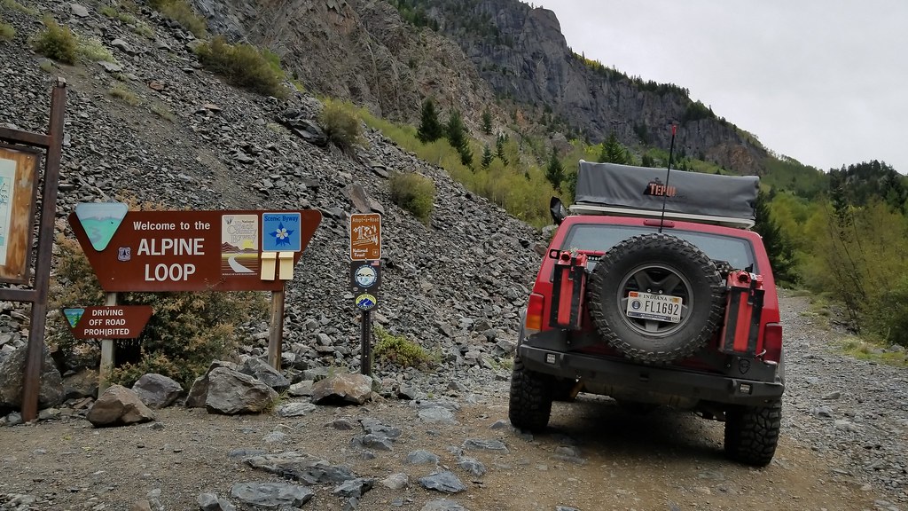
Full, we head back into the Jeep. Time to get to the Alpine Loop. I'd been reading about this trail for the last year and a half at least, could say I was a little hyped. We head south out of town on US 550 for a few miles until we get to Co Rd 18. This will be our entrance to the Loop. Air down, disconnect, double check locker actuation. We are good to go.
.
.
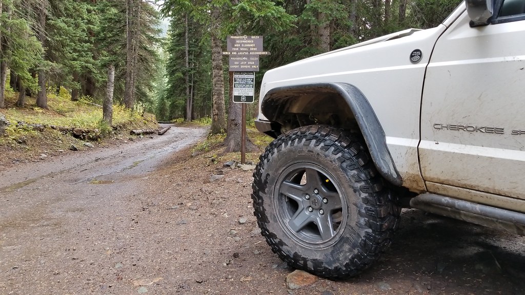
Start climbing up the Mountain in front of us. Couple Switchbacks and a good amount of traffic on the way up. Smiles on everyone's faces as we pass, might be the happiest place in the world. Couple more tight sections where we had to wait for a rental jeep to figure out if they would be able to make it down the trail or not. Funny watching some of these people on these trails who honestly have no business being behind the wheel. We make our first stop at the sign for Poughkeepsie gulch to take a Picture and let domo out, ended up being a good poop stop for us too. The Bistro's coffee is good stuff.
.
.
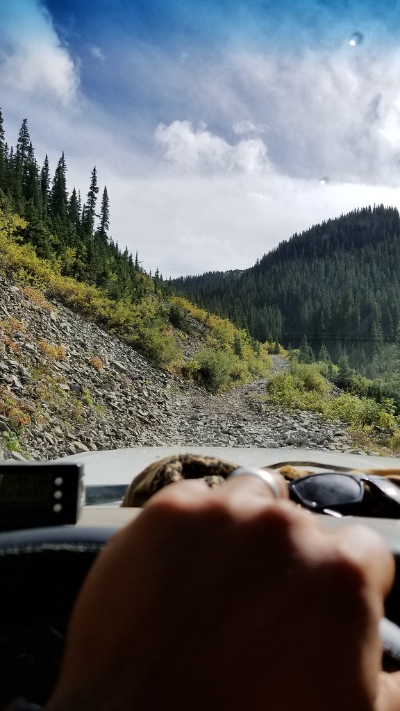
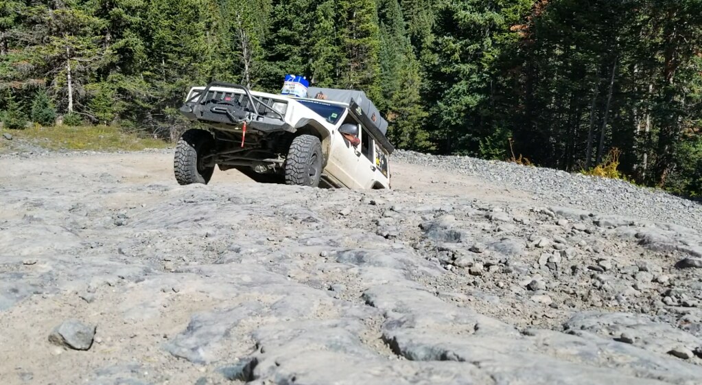
We hop back in feeling lighter. Weather was coming in, we are now travelling with a little bit of hast. Poughkeepsie turned out to be fairly rough, not enough for the front locker to be engaged at all. Rear Detroit Trutrac was now looking like a good decision. when searching on what to do when building the drivetrain for the Cherokee, a lot of people said go straight to selectable lockers front AND rear. My thought behind running a torsion LSD in the rear instead was for moments like this, the LSD was doing its job, keeping traction without me having to do a thing. Perfect.
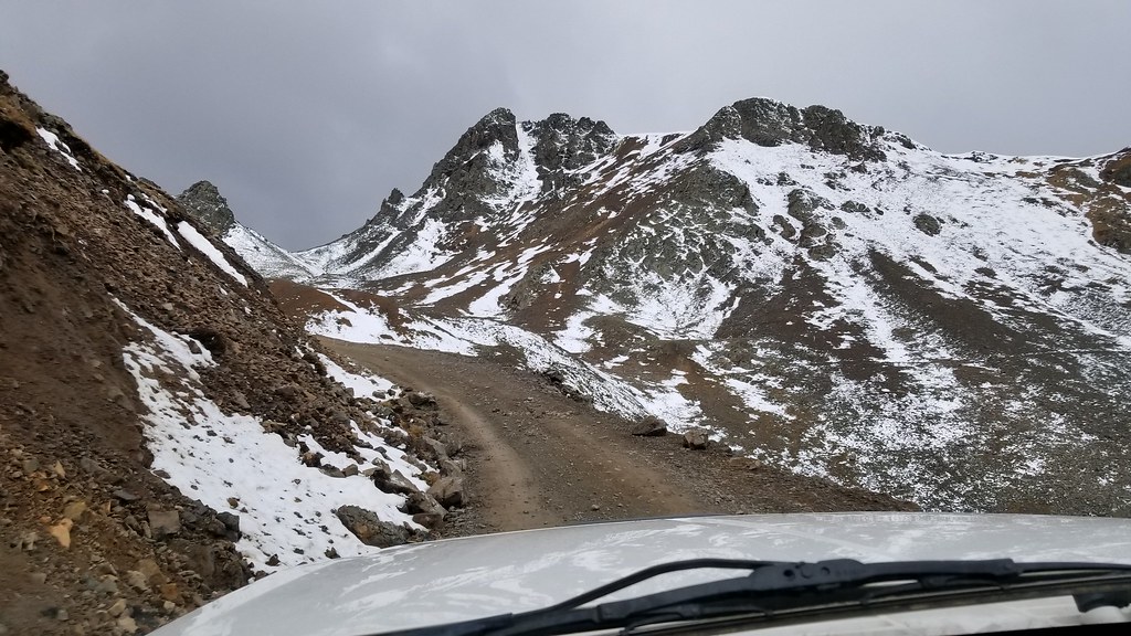
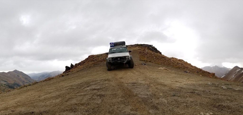
Out of the Gulch we start gaining some altitude. Stopping at Lake Como we hop out and walk around the area, Domo jumps in the lake, he wasn't ready to the frigid water. Snapped some pictures and started heading up to California Pass. Our first pass at 12,960 feet and it starts spitting snow. Jordan stayed in the Jeep while I brave the weather to snap a picture of the altitude signage.
.
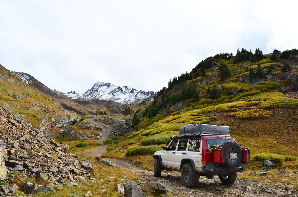
IMG_20171102_115851_464 by Emerson Bowling, on Flickr
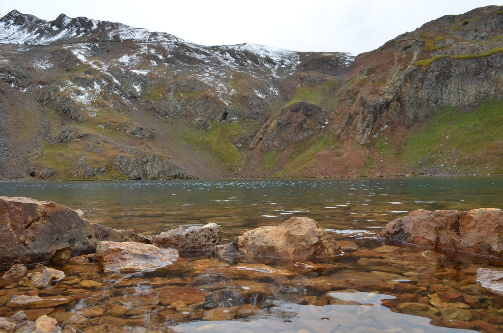
DSC_3428 by Emerson Bowling, on Flickr
20170917_164526 by Emerson Bowling, on Flickr
20171129_161351 by Emerson Bowling, on Flickr.
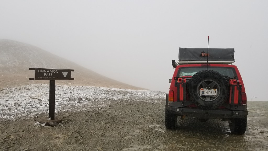
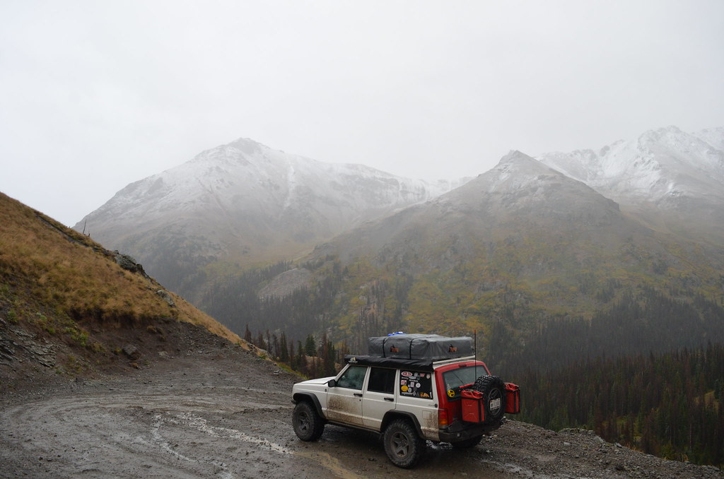
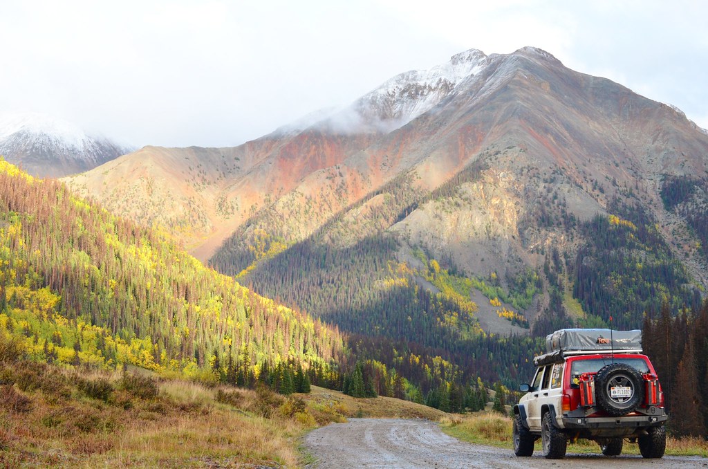
Coming down the other side of the mountain the storm follows us down. Still absolutely stunning. Down the spine and into the valley of California gulch into Animus Forks. Ground getting pretty muddy at this level, we start heading for Cinnamon Pass. Rain again turns to snow as we climb up to the Cinnamon Pass altitude of 12,640 feet. We hop out if the Jeep together this time to let Domo run around and for Jordan to walk around a bit. She was starting to really feel the altitude and the bouncing around in the Cherokee wasn't helping matters.
.
20170917_174139 by Emerson Bowling, on Flickr
DSC_3435 by Emerson Bowling, on Flickr
IMG_20170917_210459_920 by Emerson Bowling, on Flickr

IMG_20170917_211302_529 by Emerson Bowling, on Flickr.
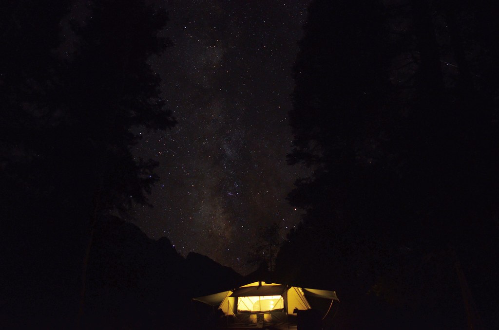
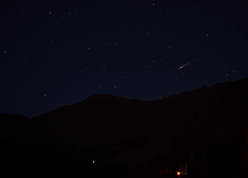
Back in the Jeep and heading down, we stop every once and awhile to stretch and take pictures, weather is slowly clearing up on the trail making for some really nice pictures. Another couple hours want we find camp around dusk at Mill Creek Campground. Crossing the narrow bridge over the Lake Fork River we find a really nice spot to set up and start dinner. Think this night was just soups and coffee, got pretty chilly. With clear skies I break out the camera to take a few.
Great night on the trail.
.
.
.
.
Morning in the Alpine and we had no intentions on leaving early after a long day on the trail yesterday. Slow to move, we enjoyed breakfast and the views. Not too long after 11am we start packing up before we get kicked out.
Goal was to make it through the rest of the loop and back in Ouray today in time for dinner.
.
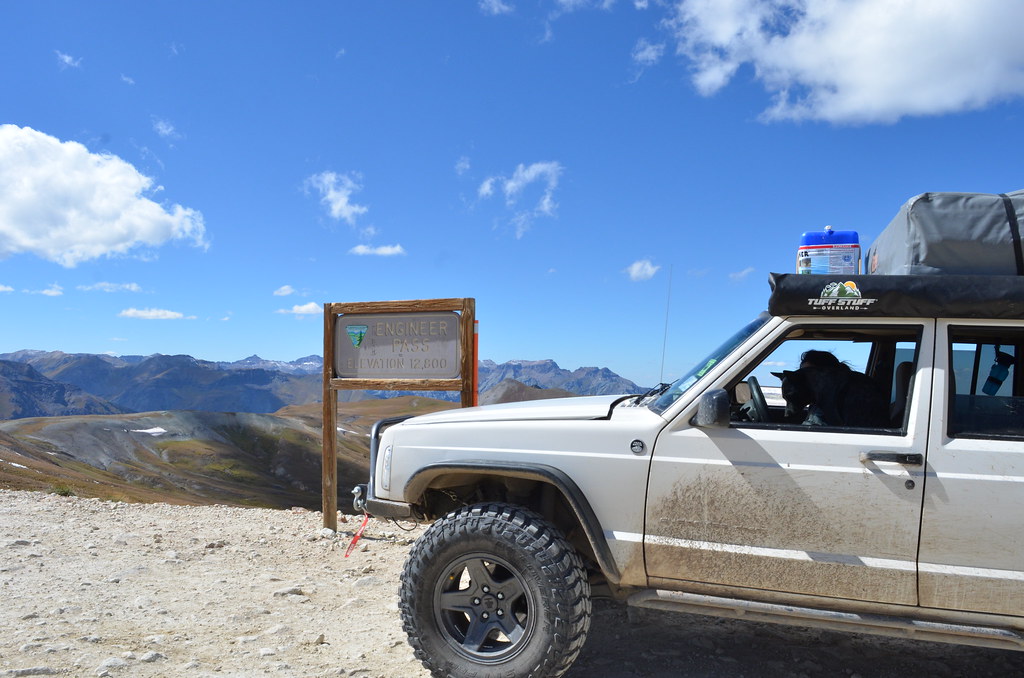
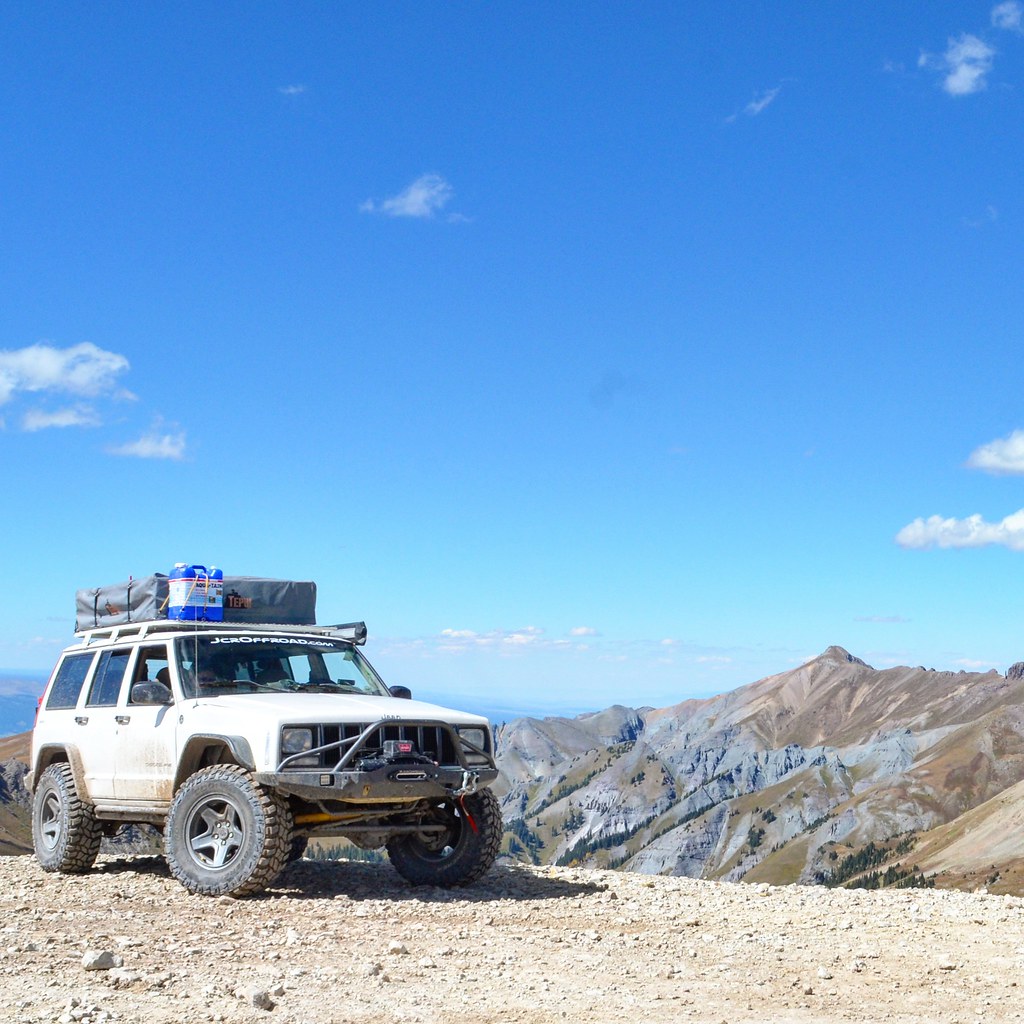
On the path we start heading east. Easy trail to the highway where I turn north. Rolling through a few towns we make our way back onto dirt. Weaving up and down through valleys we mile by mile get through the forests. Up to our final pass on the loop. Engineer Pass at 12,800 feet elevation. Another picture with the sign and we start heading down the west side of the mountain.
.
.
Stopped at a place called Odom Point on not a mile down the other side. Made for a great picture.
.
.
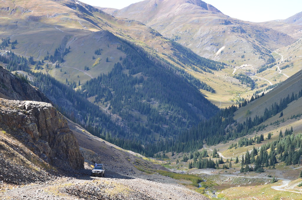
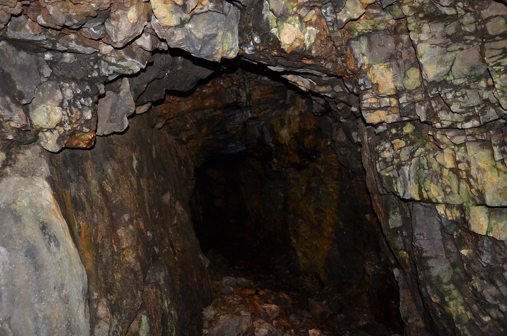
Fully down the Mountain we are back in Animas Forks. We head south from there on Co Rd 2 with the goal for Silverton. Not ready to leave the area yet we turn cross the Animas River at Grouse Gulch onto an unmarked road. Didn't see any signs saying private, it was time to explore. Following the road up a steep 4Lo climb. We get to the end of the road for us, safely at least. Hop out to an area full of old mine shafts. Shot me into a nerd moment, looked just like something of Lord of the Rings. We play around a bit and completely loose track of time. The three of us climb into the Jeep and start the slow jog back down.
.
DSC_3496 by Emerson Bowling, on Flickr

DSC_3489 by Emerson Bowling, on Flickr
DSC_3499 by Emerson Bowling, on Flickr.
Happy with the time we spent in the area we take Co Rd 2 out of the mountains and into Silverton. Hitting pavement I pull off on a side road to air up and connect the sway bar. Jordan and domo play in the Animas River while I get the XJ a good look over. Old jeep did pretty good. Very happy with it. We look around Silverton for a place to eat, a lot seemed to be closed. So we decide to head back into Ouray for dinner and another night at Angel Creek just outside of town.
.
Travelling on 550 north back into Ouray, we are taken in by the views, they weren't kidding with the Million Dollar Highway. In Ouray we settle on Ouray Brewery for a bit to eat and beers before bed. Sadly we leave Domo in the car but he is pretty use to staying in the car for a few minutes. We get into the busy brewery and head up to the balcony that overlooks Main Street. Really cool spot to stop and see. upstairs they have a small bar where you can get drinks and order stuff like Burgers. We both get a local beer and scarf down half a cow. Kept some leftovers for Domo as a treat for sitting in the car for a bit. We spoil him a bit sometimes.
.
Made our way back into Angel Creek and got lucky with the same site we had before with still some leftover fire wood we didn't burn up 2 nights ago. Tent set up, we sit by the fire as long as we can in the cold. By 10:30pm we call it a night. Another great day in Colorado
.
.
.
Suns out. Imogene Pass into Telluride today. Packed up and into town for another breakfast at the Backstreet Bistro. Two bagel sandwiches and SMALL Tomboys to drink, didn't want a repeat of Poughkeepsie Gulch. Back out of town onto Camp Bird Road we make our way up to the trail to Imogene. Air down, disconnect. Turns out I'll leave my 16 inch breaker bar here too, didn't realize it til about a week later in Utah. Sorry for littering Colorado.
.
.
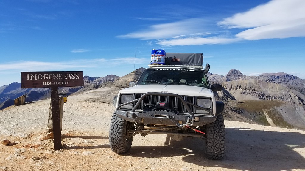
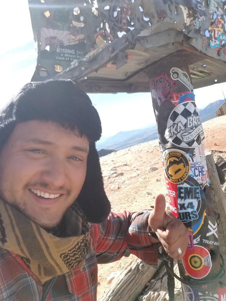
Up the to the 13,114 feet peak, this was my favorite trail of the San Juans. Terrain was fun, good mix of stuff. Really lots of fun. At the peak it was at felt like 25 degrees, maybe less but the 50+ MPH winds made it hard to judge. Jordan opted to say in the car for this one too. Wind made it miserable so I don't blame her. Place a Overland Bound sticker, snap some pictures and get back into the warm Cherokee
.
.
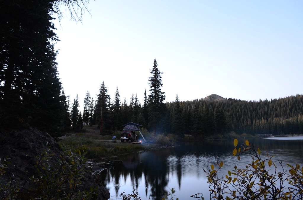
Driving the Jeep down the other side of the road we unfortunately follow a tour vehicle, looked like an old Unimog, all the way down into Telluride. Drove through telluride and found a place to stop and look for a place to camp. End up find a place called Alta Lakes about 30mins out of town, primitive and free, my favorite. Taking CO-145 east, then south out of town, we make back into the mountains. Boy does Telluride have some money in the area, some on the houses are crazy out here. Turning of the highway we get onto the cleverly named road, Alta Lakes Road. 10 or 15 minutes and we are at the campground. This place was awesome! Set up right on a lake, salmon and rice for dinner, Jordan gets the fire going. Sounding like a broken record now but Another perfect night in Colorado.
.
DSC_3523 by Emerson Bowling, on Flickr

DSC_3532 by Emerson Bowling, on Flickr
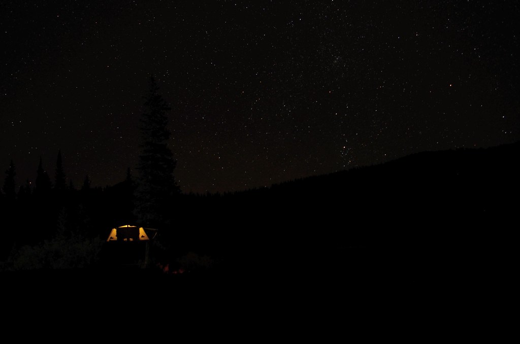
IMG_20170919_214021_118 by Emerson Bowling, on Flickr.
.
N38°00'23.08"
W107°41'32.37"
Ouray, Co
September 17th
.First Morning in Ouray. Wake up to a cloudy and chilly morning. Not wanting to cook in that weather we packed up quick and we headed into town to find a local breakfast.
.
Driving down main street we spot a promising place on 7th Ave called Backstreet Bistro. Outdoor seating for domo, Ouray for the win. We grab up a menu and quickly find something to order, place seemed to be getting real busy. Ordered up and headed out to sit with domo and Jordan. Maybe 6 four person tables outside, couple small tables inside among the large community table. Maybe a 30 minute wait and they call out my name. Jordan gets a Yankee boy Potato Boat and I get a Cascade Breakfast. Eggs, potatoes, meat, veggies and fruit lay in front of both of us with of course coffee to drink. Two large "Tomboy" to sip on, Café Mocha, Hazelnut and Carmel Syrup. Every bit of it was super good and super expensive. Think we were $35-40 out the door.
.
Full, we head back into the Jeep. Time to get to the Alpine Loop. I'd been reading about this trail for the last year and a half at least, could say I was a little hyped. We head south out of town on US 550 for a few miles until we get to Co Rd 18. This will be our entrance to the Loop. Air down, disconnect, double check locker actuation. We are good to go.
.
.
Start climbing up the Mountain in front of us. Couple Switchbacks and a good amount of traffic on the way up. Smiles on everyone's faces as we pass, might be the happiest place in the world. Couple more tight sections where we had to wait for a rental jeep to figure out if they would be able to make it down the trail or not. Funny watching some of these people on these trails who honestly have no business being behind the wheel. We make our first stop at the sign for Poughkeepsie gulch to take a Picture and let domo out, ended up being a good poop stop for us too. The Bistro's coffee is good stuff.
.
.
We hop back in feeling lighter. Weather was coming in, we are now travelling with a little bit of hast. Poughkeepsie turned out to be fairly rough, not enough for the front locker to be engaged at all. Rear Detroit Trutrac was now looking like a good decision. when searching on what to do when building the drivetrain for the Cherokee, a lot of people said go straight to selectable lockers front AND rear. My thought behind running a torsion LSD in the rear instead was for moments like this, the LSD was doing its job, keeping traction without me having to do a thing. Perfect.
Out of the Gulch we start gaining some altitude. Stopping at Lake Como we hop out and walk around the area, Domo jumps in the lake, he wasn't ready to the frigid water. Snapped some pictures and started heading up to California Pass. Our first pass at 12,960 feet and it starts spitting snow. Jordan stayed in the Jeep while I brave the weather to snap a picture of the altitude signage.
.

IMG_20171102_115851_464 by Emerson Bowling, on Flickr

DSC_3428 by Emerson Bowling, on Flickr

20170917_164526 by Emerson Bowling, on Flickr

20171129_161351 by Emerson Bowling, on Flickr
Coming down the other side of the mountain the storm follows us down. Still absolutely stunning. Down the spine and into the valley of California gulch into Animus Forks. Ground getting pretty muddy at this level, we start heading for Cinnamon Pass. Rain again turns to snow as we climb up to the Cinnamon Pass altitude of 12,640 feet. We hop out if the Jeep together this time to let Domo run around and for Jordan to walk around a bit. She was starting to really feel the altitude and the bouncing around in the Cherokee wasn't helping matters.
.

20170917_174139 by Emerson Bowling, on Flickr

DSC_3435 by Emerson Bowling, on Flickr

IMG_20170917_210459_920 by Emerson Bowling, on Flickr

IMG_20170917_211302_529 by Emerson Bowling, on Flickr
Back in the Jeep and heading down, we stop every once and awhile to stretch and take pictures, weather is slowly clearing up on the trail making for some really nice pictures. Another couple hours want we find camp around dusk at Mill Creek Campground. Crossing the narrow bridge over the Lake Fork River we find a really nice spot to set up and start dinner. Think this night was just soups and coffee, got pretty chilly. With clear skies I break out the camera to take a few.
Great night on the trail.
.
.
.
September 18th
..
Morning in the Alpine and we had no intentions on leaving early after a long day on the trail yesterday. Slow to move, we enjoyed breakfast and the views. Not too long after 11am we start packing up before we get kicked out.
Goal was to make it through the rest of the loop and back in Ouray today in time for dinner.
.
On the path we start heading east. Easy trail to the highway where I turn north. Rolling through a few towns we make our way back onto dirt. Weaving up and down through valleys we mile by mile get through the forests. Up to our final pass on the loop. Engineer Pass at 12,800 feet elevation. Another picture with the sign and we start heading down the west side of the mountain.
.
.
Stopped at a place called Odom Point on not a mile down the other side. Made for a great picture.
.
.
Fully down the Mountain we are back in Animas Forks. We head south from there on Co Rd 2 with the goal for Silverton. Not ready to leave the area yet we turn cross the Animas River at Grouse Gulch onto an unmarked road. Didn't see any signs saying private, it was time to explore. Following the road up a steep 4Lo climb. We get to the end of the road for us, safely at least. Hop out to an area full of old mine shafts. Shot me into a nerd moment, looked just like something of Lord of the Rings. We play around a bit and completely loose track of time. The three of us climb into the Jeep and start the slow jog back down.
.

DSC_3496 by Emerson Bowling, on Flickr

DSC_3489 by Emerson Bowling, on Flickr

DSC_3499 by Emerson Bowling, on Flickr
Happy with the time we spent in the area we take Co Rd 2 out of the mountains and into Silverton. Hitting pavement I pull off on a side road to air up and connect the sway bar. Jordan and domo play in the Animas River while I get the XJ a good look over. Old jeep did pretty good. Very happy with it. We look around Silverton for a place to eat, a lot seemed to be closed. So we decide to head back into Ouray for dinner and another night at Angel Creek just outside of town.
.
Travelling on 550 north back into Ouray, we are taken in by the views, they weren't kidding with the Million Dollar Highway. In Ouray we settle on Ouray Brewery for a bit to eat and beers before bed. Sadly we leave Domo in the car but he is pretty use to staying in the car for a few minutes. We get into the busy brewery and head up to the balcony that overlooks Main Street. Really cool spot to stop and see. upstairs they have a small bar where you can get drinks and order stuff like Burgers. We both get a local beer and scarf down half a cow. Kept some leftovers for Domo as a treat for sitting in the car for a bit. We spoil him a bit sometimes.
.
Made our way back into Angel Creek and got lucky with the same site we had before with still some leftover fire wood we didn't burn up 2 nights ago. Tent set up, we sit by the fire as long as we can in the cold. By 10:30pm we call it a night. Another great day in Colorado
.
.
September 19th
..
Suns out. Imogene Pass into Telluride today. Packed up and into town for another breakfast at the Backstreet Bistro. Two bagel sandwiches and SMALL Tomboys to drink, didn't want a repeat of Poughkeepsie Gulch. Back out of town onto Camp Bird Road we make our way up to the trail to Imogene. Air down, disconnect. Turns out I'll leave my 16 inch breaker bar here too, didn't realize it til about a week later in Utah. Sorry for littering Colorado.
.
.
Up the to the 13,114 feet peak, this was my favorite trail of the San Juans. Terrain was fun, good mix of stuff. Really lots of fun. At the peak it was at felt like 25 degrees, maybe less but the 50+ MPH winds made it hard to judge. Jordan opted to say in the car for this one too. Wind made it miserable so I don't blame her. Place a Overland Bound sticker, snap some pictures and get back into the warm Cherokee
.
.
Driving the Jeep down the other side of the road we unfortunately follow a tour vehicle, looked like an old Unimog, all the way down into Telluride. Drove through telluride and found a place to stop and look for a place to camp. End up find a place called Alta Lakes about 30mins out of town, primitive and free, my favorite. Taking CO-145 east, then south out of town, we make back into the mountains. Boy does Telluride have some money in the area, some on the houses are crazy out here. Turning of the highway we get onto the cleverly named road, Alta Lakes Road. 10 or 15 minutes and we are at the campground. This place was awesome! Set up right on a lake, salmon and rice for dinner, Jordan gets the fire going. Sounding like a broken record now but Another perfect night in Colorado.
.

DSC_3523 by Emerson Bowling, on Flickr

DSC_3532 by Emerson Bowling, on Flickr

IMG_20170919_214021_118 by Emerson Bowling, on Flickr
.
To be continued...
Last edited:
Mr_Miyagisan
Adventurer
I am enjoying your explorations. You write engagingly and I feel I am along for the ride. And, I do agree with you about national parks; Yellowstone was the worst because as you say, people get out to photograph/video while leaving cars running and doors open. Didn't they read the Park literature? The best part was your retelling Of the Morrison switchbacks and USFS Road 120. With our rig, I doubt we could do either after reading your account. Looking forward to more.
Thanks for the kind words!
And a 250 super duty would be a really tight fit on Morrison. Would be interesting to say the least!

