teddyearp
Adventurer
Well, I'm a year late so I guess that makes me $365 dollars short, lol. But checking out some of the other trip reports here makes me want to post another just for kicks and to sort of pay forward the enjoyment I received tonight from reading said reports.
This is a mix of road trip and offroad trip so I hope some enjoy:
Well, here I go, another road trip report. April 25, 2014 - May 10, 2014. Washington -> Oregon -> Nevada -> Arizona -> California -> Arizona -> Utah -> Idaho -> Oregon -> and back home. There won't be any of Washington, nor of Idaho and Oregon on the way home and only took a couple in Utah, since I have already taken plenty pics on those roads.
At the outset, I planned on motelling in Burns, OR the first night, then finding the ghost town of Aurora, NV the second, perhaps visiting Gold Point and Rhyolite, NV on my way to camp near Chloride, AZ the third. Then it was to be off to explore the back country between Wickenburg and Crown King, AZ for a night or three; camping along the way. A quick trip to California was planned on May 1-2 to visit some old friends, then I was going to go back to Arizona on May 3 to camp somewhere along the Four Peaks road, then go down to Roosevelt Lake and up the back way to Young, AZ via the Cherry Creek road to see the cabin there and end up at Promontory Butte sometime around May 4. Then head over to Pinetop and camp at Hawley Lake (been camping there for over 40 years, why stop now), head to Tucson to see an old flame, then high tail it back home starting Friday May 9 and arriving home on May 11.
I've been a map guy since I was knee high to a grasshopper, so I had most of these 'routes' burned into memory from studying and since I am in the 21st century, I used my Android device to load up offline maps via OruxMaps (and other apps like PDF maps), saved alot of geocaches for offline use with c.geo and off I went!
Well, all the best laid plans can always change, and change they did based upon weather conditions, fire restrictions and people problems.
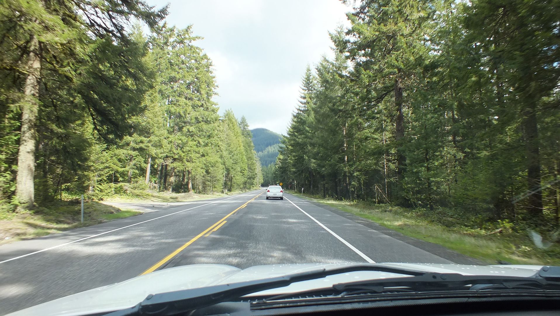
So without further ado, let's get to it! Now mind you, I am the master of taking pics out of my widnshield while driving, and that said probably too many of them are highway shots. I headed out of Randle on my way to Burns, OR via Portland and did a quick stop in Sandy for some cash and stuff. Heading further down US 26 here's one shot:
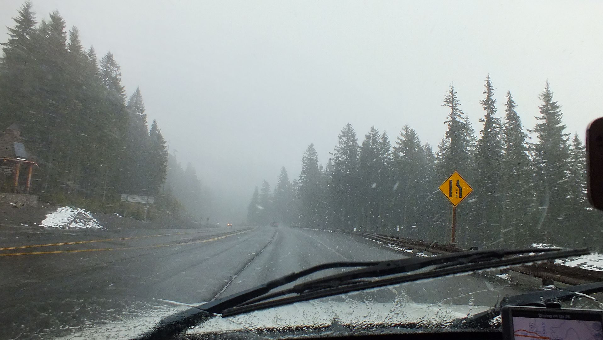
Started to get a bit dicey looking towards the top of whatever pass I topped, it did snow; but did not stick:
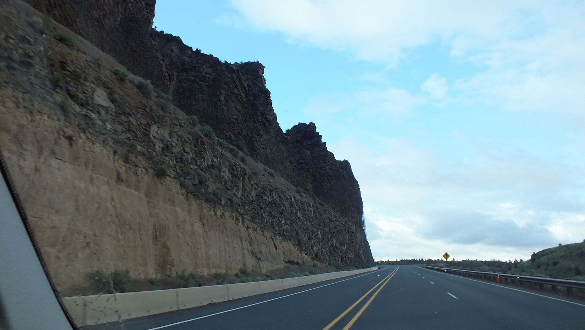
Over on the other side on the Warm Springs Rez, it was just fine:
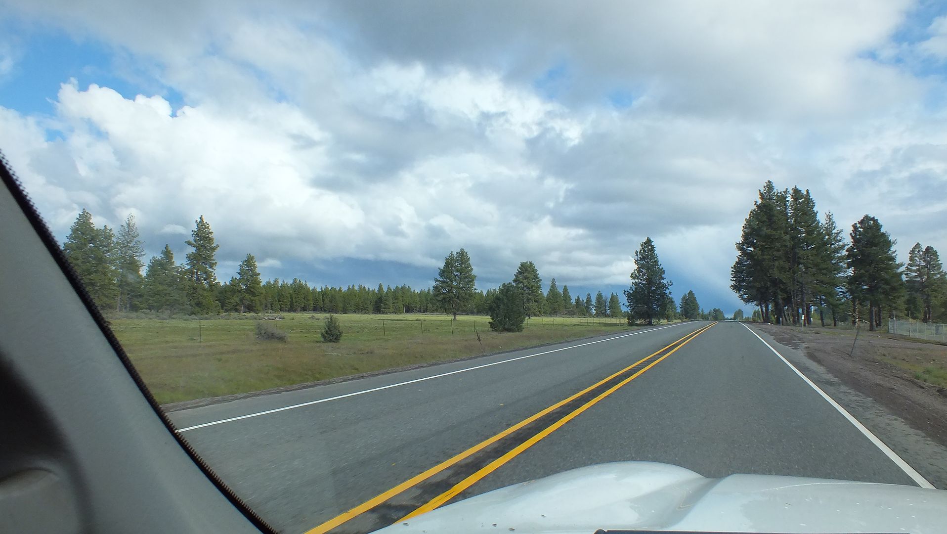
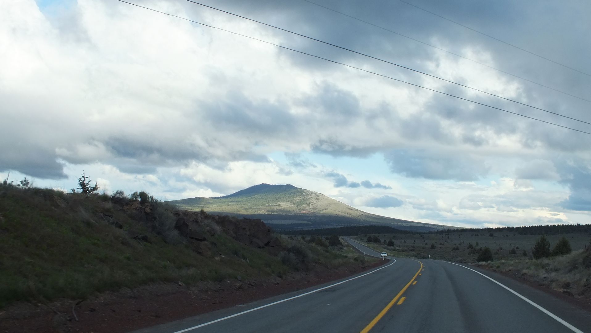
Further down towards Madras and/or Prineville:
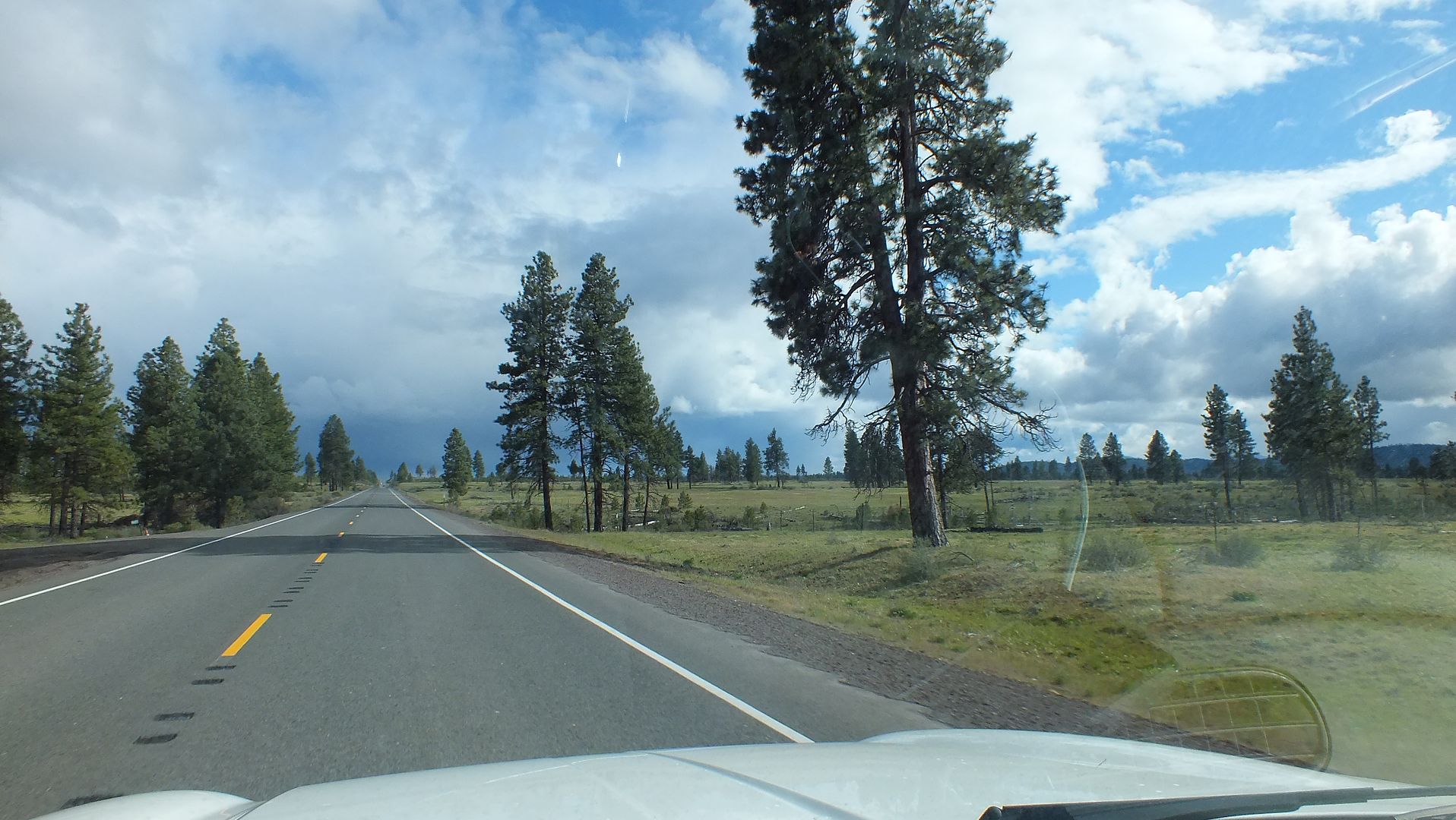
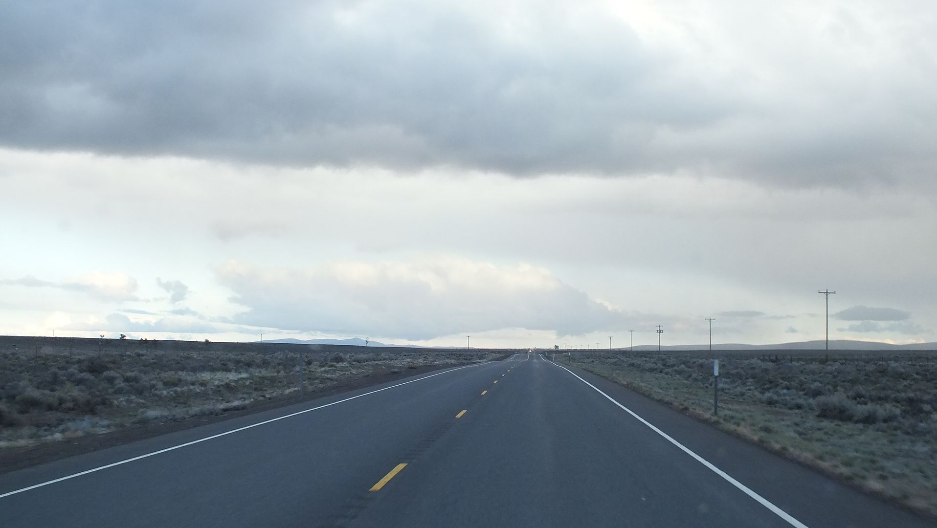
Between Prineville and Burns, some could be along the road between US 26 and US 20:
Just about to Burns:

I did end up staying at my motel in Burns as planned. [rant]I just have one thing to say. Do NOT go the the McDonald's there. They shorted my Big Mac by a whole patty and I think they shorted my Qpounder as well with the missing patty from my Big Mac. They were the only place open, and I was starved.[/rant]
This is a mix of road trip and offroad trip so I hope some enjoy:
Well, here I go, another road trip report. April 25, 2014 - May 10, 2014. Washington -> Oregon -> Nevada -> Arizona -> California -> Arizona -> Utah -> Idaho -> Oregon -> and back home. There won't be any of Washington, nor of Idaho and Oregon on the way home and only took a couple in Utah, since I have already taken plenty pics on those roads.
At the outset, I planned on motelling in Burns, OR the first night, then finding the ghost town of Aurora, NV the second, perhaps visiting Gold Point and Rhyolite, NV on my way to camp near Chloride, AZ the third. Then it was to be off to explore the back country between Wickenburg and Crown King, AZ for a night or three; camping along the way. A quick trip to California was planned on May 1-2 to visit some old friends, then I was going to go back to Arizona on May 3 to camp somewhere along the Four Peaks road, then go down to Roosevelt Lake and up the back way to Young, AZ via the Cherry Creek road to see the cabin there and end up at Promontory Butte sometime around May 4. Then head over to Pinetop and camp at Hawley Lake (been camping there for over 40 years, why stop now), head to Tucson to see an old flame, then high tail it back home starting Friday May 9 and arriving home on May 11.
I've been a map guy since I was knee high to a grasshopper, so I had most of these 'routes' burned into memory from studying and since I am in the 21st century, I used my Android device to load up offline maps via OruxMaps (and other apps like PDF maps), saved alot of geocaches for offline use with c.geo and off I went!
Well, all the best laid plans can always change, and change they did based upon weather conditions, fire restrictions and people problems.
So without further ado, let's get to it! Now mind you, I am the master of taking pics out of my widnshield while driving, and that said probably too many of them are highway shots. I headed out of Randle on my way to Burns, OR via Portland and did a quick stop in Sandy for some cash and stuff. Heading further down US 26 here's one shot:

Started to get a bit dicey looking towards the top of whatever pass I topped, it did snow; but did not stick:

Over on the other side on the Warm Springs Rez, it was just fine:


Further down towards Madras and/or Prineville:

Between Prineville and Burns, some could be along the road between US 26 and US 20:


Just about to Burns:

I did end up staying at my motel in Burns as planned. [rant]I just have one thing to say. Do NOT go the the McDonald's there. They shorted my Big Mac by a whole patty and I think they shorted my Qpounder as well with the missing patty from my Big Mac. They were the only place open, and I was starved.[/rant]
Last edited:


