Explorer 1
Explorer 1
Day 2:
Papoose Flats, Badger Flats, Mazourka Peak.
Day two, Rudi my friend who was born in Siberia came along. One month ago I visited Papoose Flats and found only one of the three entrances free enough from snow to drive in. Since I'm taking a group up there next month I wanted to check out the snow level and at the same time explore some of the side roads. Riding an ATV one can usually travel twice the speed of a full size vehicle so with so much to explore and only one day I decided to trailer up the beginning of the road into Papoose Flats from the Death Valley road out of Big Pine.
We first took the northern road which takes you on the east side of Andrews mountain and past "The Narrows". I had noticed a small trail traveling east from the Narrows and want to see just how far it went. There was a deep hard rock mine on the south side of the trail and it appeared that the small trail may actually go all the way down to the northern end of the Saline Valley. However, exploring on foot I found the trail ends shortly after the mine and the canyon down to the Saline valley would be a difficult trip even on foot.

Those who have been to Papoose Flats know of the outstanding views of the Sierra Nevada's found there. I wasn't disappointed with the late season snow still covering all the higher elevations.

After checking out the different camping possibilities we headed over toward Mazourka Peak and found the pass free from snow. This has the roughest section of road into Papoose Flats. A few late season patches of snow were found in the shade but the trail was dry and free from fallen rock from the past winter. We explored many side roads all of which ended without significance or some at a old mine site.
On top of Mazourka Peak quite a complex of communication equipment is found. We studied the Sierra peaks and could clearly make out the pass to the north of Sugar Loaf Peak which was our destination tomorrow.
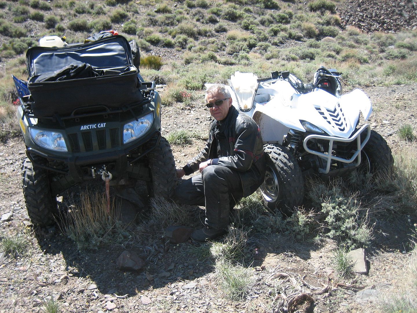
When leaving Mazourka there was an alternative route steeply down the canyon looking like it ended up at Santa Rita Flats. We opted to check this route and while descending down the steep rocking section I looked down and found my left front tire running completely flat!
My mind flashed back to Thanksgiving two years ago when once again riding ATV's with Rudi in the White Mountains I cut my sidewall and had to leave Rudi with the wounded ATV while I rode down to Bishop, and then drove up Silver Canyon pulling an ATV trailer in the dark to retrieve Rudi and the disabled ATV. Fortunately, it only appeared I broke the bead momentarily and once we secured some rocks as jacks, reseated the tire and then pumped it back up we proceeded without further incident. The trail does indeed take you down into Santa Rita Flat (by passing Badger Flats) and then following south you eventually blend into the Mazourka Canyon road coming up from Independence. At this point is was after 3 pm and we decided to high tail it back to our vehicle and trailer.
The Mazourka Canyon road has recently be graded and it wasn't long before we were passing Badger Flats and Mazourka Peak. On the rougher section between Badger Flats and Papoose Flats over the ridge travel on a ATV is so much quicker than a SUV as the rocks and bumps are less noticed.
We arrived back at the parked Tacoma and trailer with enough light still to make our way back to Mammoth without headlights.
Another good day!
Thanks,
Fred
Explorer 1
Papoose Flats, Badger Flats, Mazourka Peak.
Day two, Rudi my friend who was born in Siberia came along. One month ago I visited Papoose Flats and found only one of the three entrances free enough from snow to drive in. Since I'm taking a group up there next month I wanted to check out the snow level and at the same time explore some of the side roads. Riding an ATV one can usually travel twice the speed of a full size vehicle so with so much to explore and only one day I decided to trailer up the beginning of the road into Papoose Flats from the Death Valley road out of Big Pine.
We first took the northern road which takes you on the east side of Andrews mountain and past "The Narrows". I had noticed a small trail traveling east from the Narrows and want to see just how far it went. There was a deep hard rock mine on the south side of the trail and it appeared that the small trail may actually go all the way down to the northern end of the Saline Valley. However, exploring on foot I found the trail ends shortly after the mine and the canyon down to the Saline valley would be a difficult trip even on foot.
Those who have been to Papoose Flats know of the outstanding views of the Sierra Nevada's found there. I wasn't disappointed with the late season snow still covering all the higher elevations.
After checking out the different camping possibilities we headed over toward Mazourka Peak and found the pass free from snow. This has the roughest section of road into Papoose Flats. A few late season patches of snow were found in the shade but the trail was dry and free from fallen rock from the past winter. We explored many side roads all of which ended without significance or some at a old mine site.
On top of Mazourka Peak quite a complex of communication equipment is found. We studied the Sierra peaks and could clearly make out the pass to the north of Sugar Loaf Peak which was our destination tomorrow.
When leaving Mazourka there was an alternative route steeply down the canyon looking like it ended up at Santa Rita Flats. We opted to check this route and while descending down the steep rocking section I looked down and found my left front tire running completely flat!
My mind flashed back to Thanksgiving two years ago when once again riding ATV's with Rudi in the White Mountains I cut my sidewall and had to leave Rudi with the wounded ATV while I rode down to Bishop, and then drove up Silver Canyon pulling an ATV trailer in the dark to retrieve Rudi and the disabled ATV. Fortunately, it only appeared I broke the bead momentarily and once we secured some rocks as jacks, reseated the tire and then pumped it back up we proceeded without further incident. The trail does indeed take you down into Santa Rita Flat (by passing Badger Flats) and then following south you eventually blend into the Mazourka Canyon road coming up from Independence. At this point is was after 3 pm and we decided to high tail it back to our vehicle and trailer.
The Mazourka Canyon road has recently be graded and it wasn't long before we were passing Badger Flats and Mazourka Peak. On the rougher section between Badger Flats and Papoose Flats over the ridge travel on a ATV is so much quicker than a SUV as the rocks and bumps are less noticed.
We arrived back at the parked Tacoma and trailer with enough light still to make our way back to Mammoth without headlights.
Another good day!
Thanks,
Fred
Explorer 1