Arizona Strip - 64 gallons later

Explorer 1

Explorer 1
From planning to reality, our Arizona Strip trip is now history. It took a lot more fuel and time than we estimated. Many of the days ended just before sunset. We're still gathering up the pictures and movies along with times and mileage. The trip started as written in:

http://www.expeditionportal.com/forum/showthread.php?p=871242#post871242


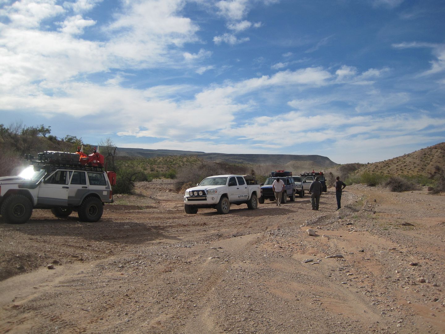
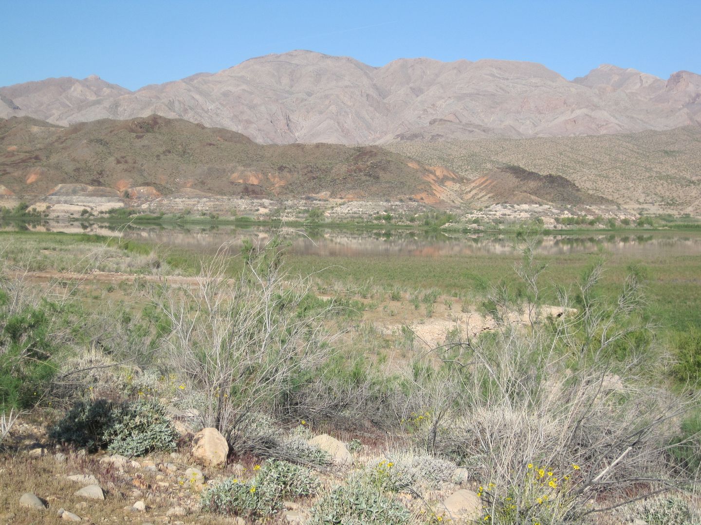
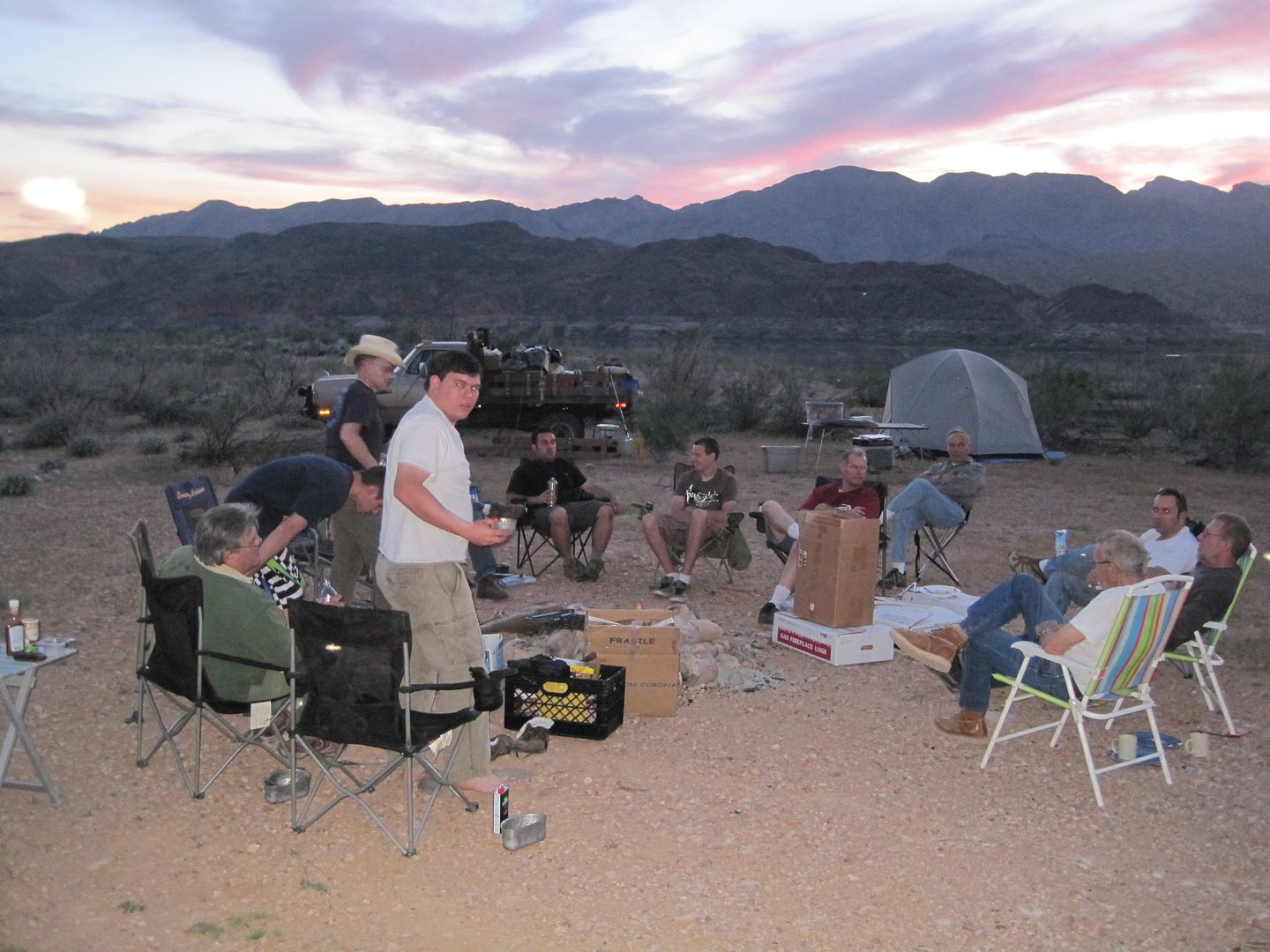
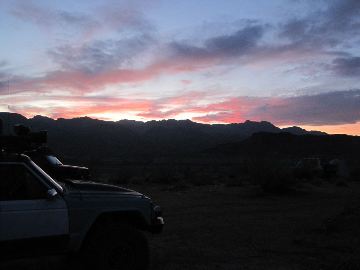
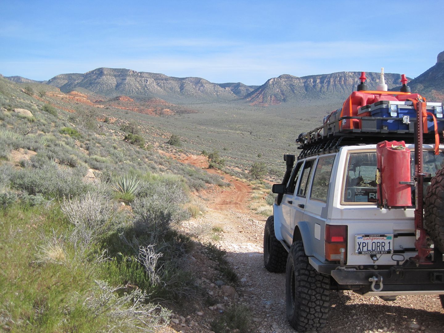
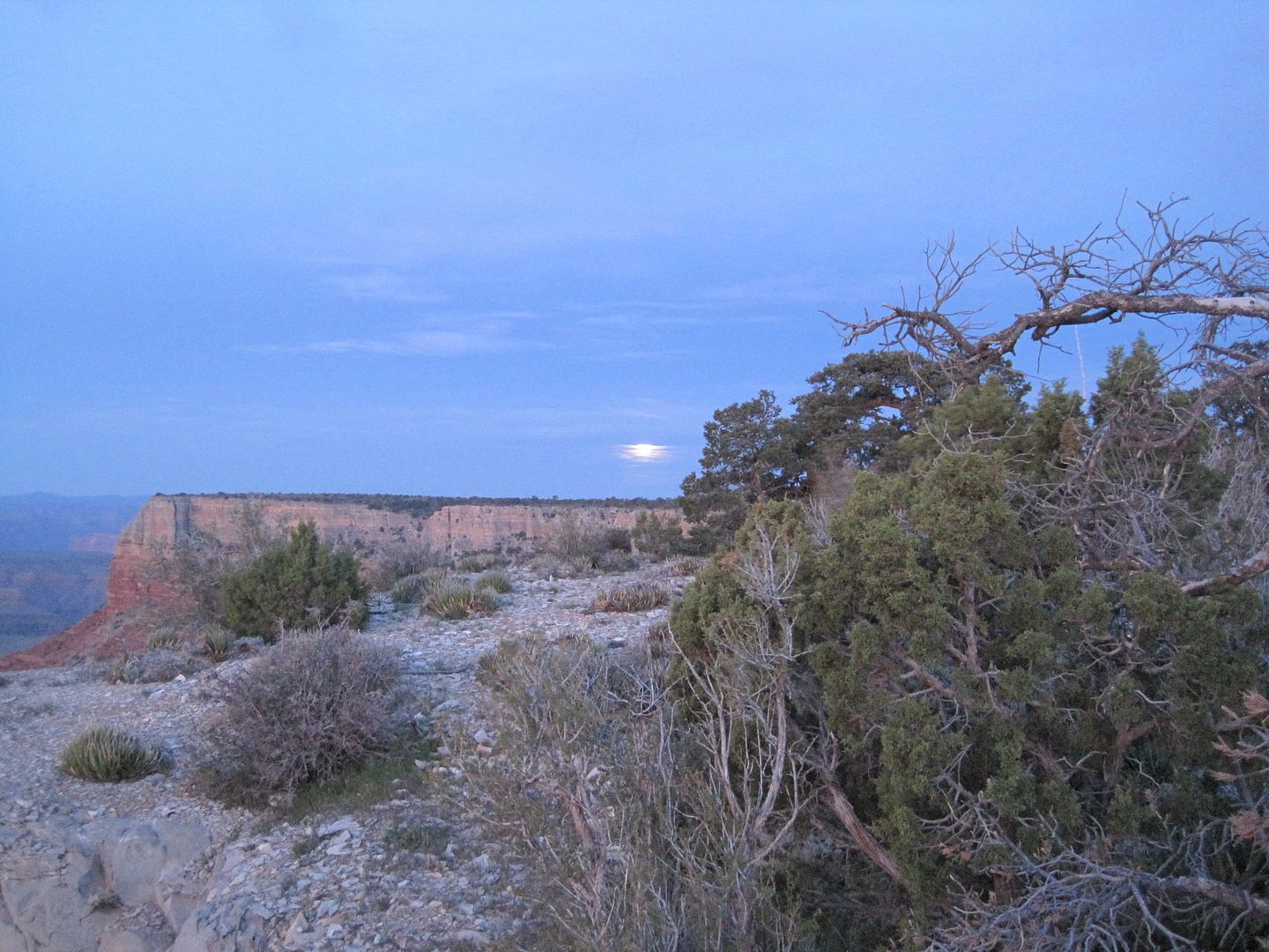
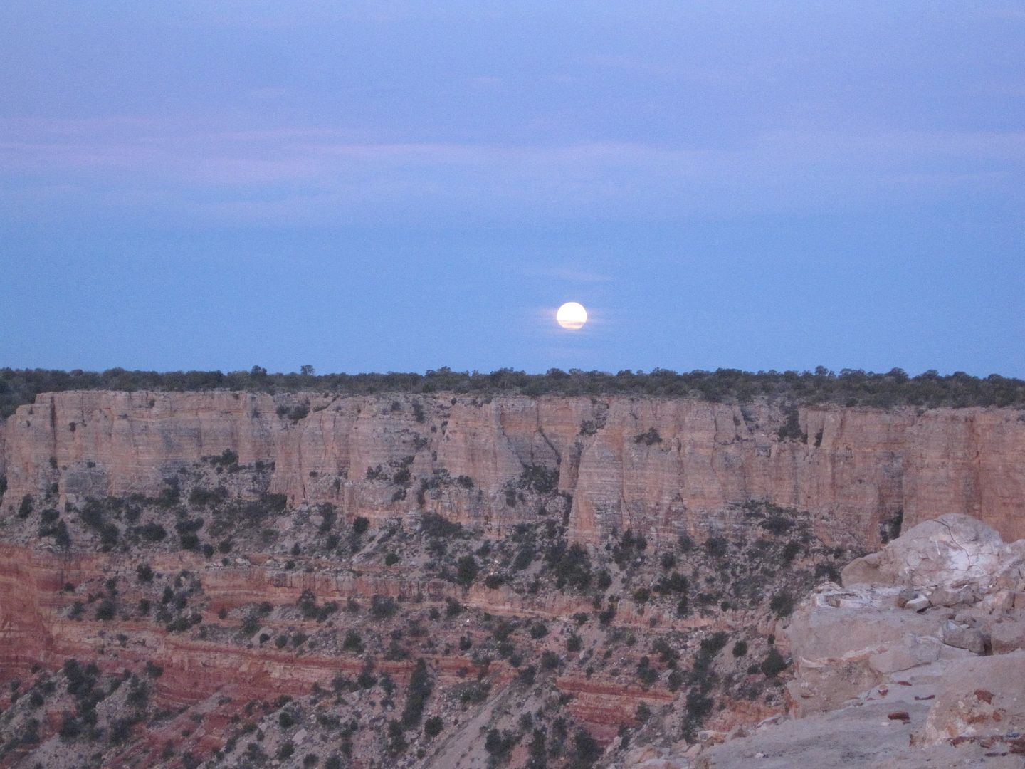
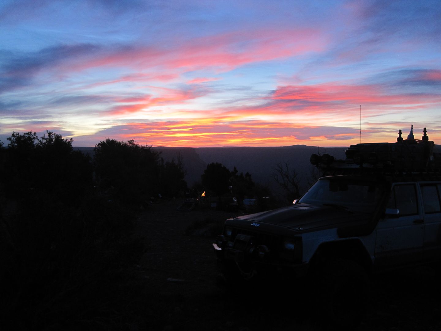
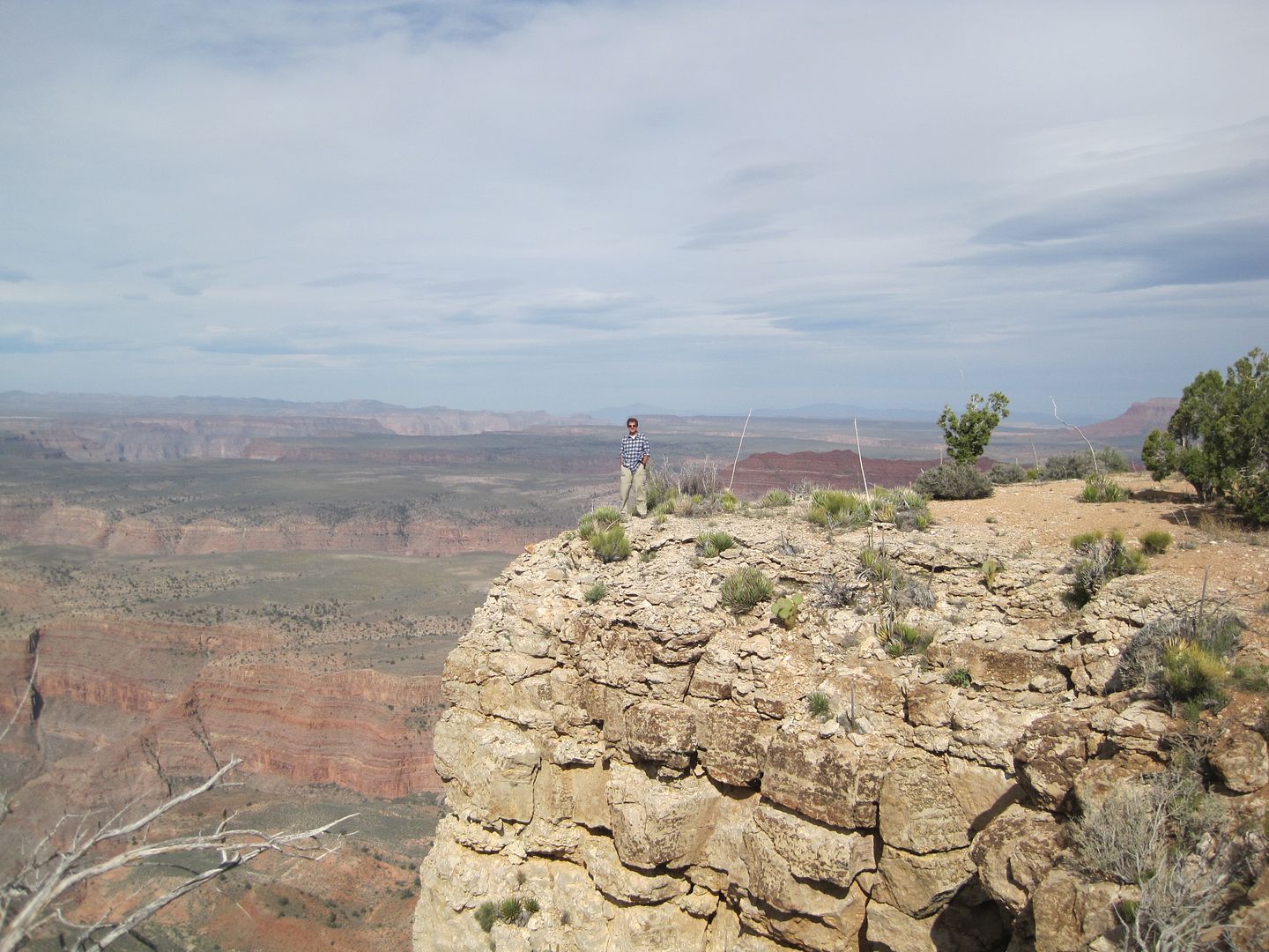
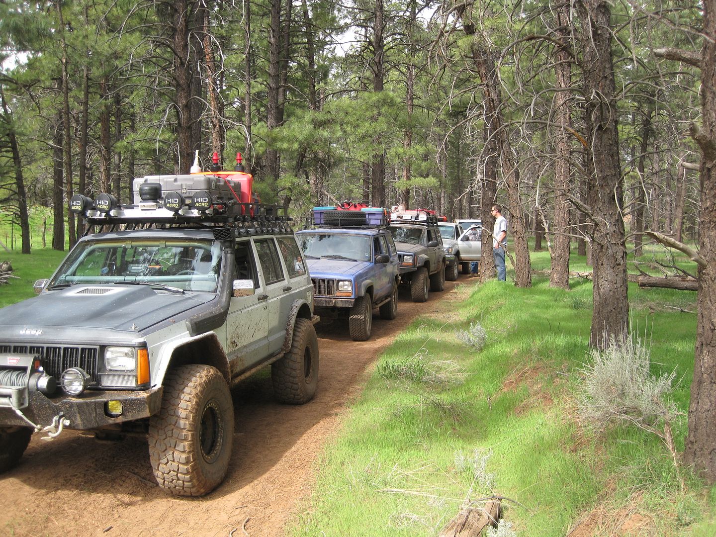
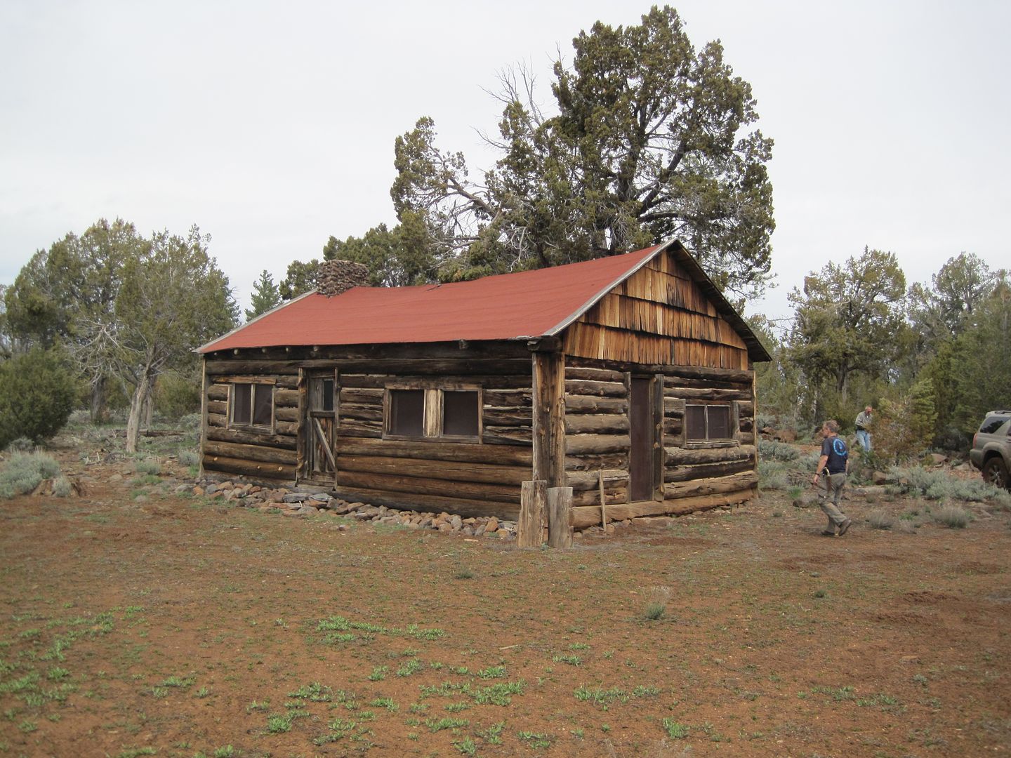
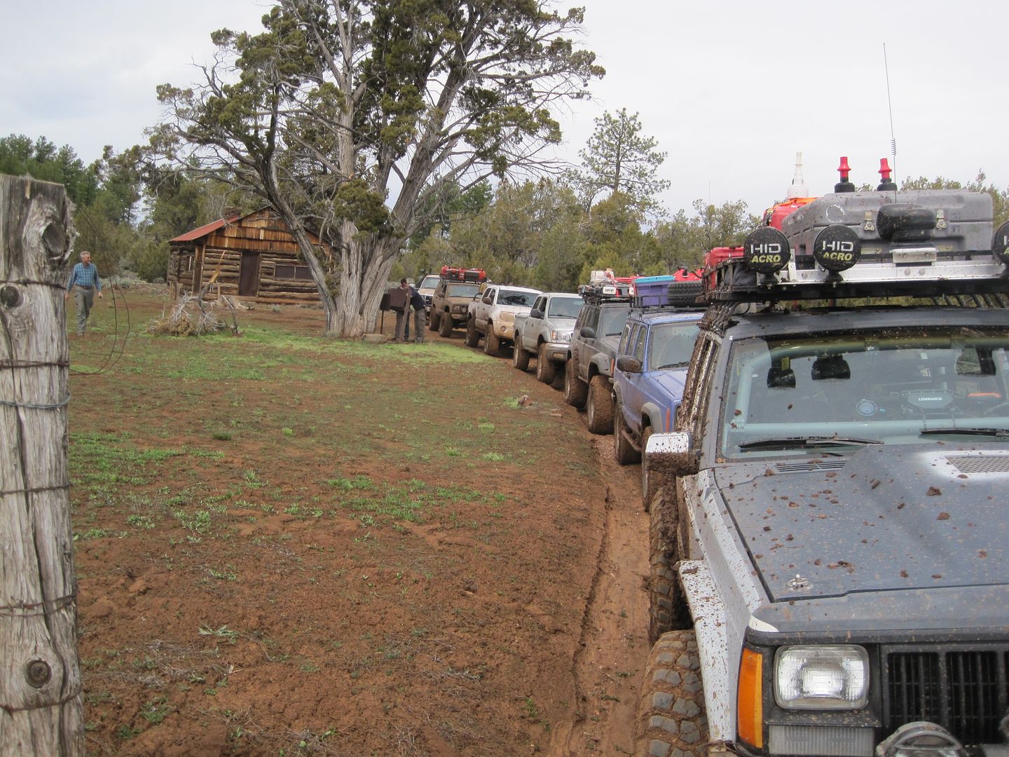
Here are a few teaser pictures:

Sorry, had to delete and re-load to my photo site.

More later,
Fred
Explorer 1
 
Last edited:

flywgn

Explorer
Welcome back. I look forward to your report. Hope your trip was chock full of events...good ones.

Allen R
 

Explorer 1

Explorer 1
Day 1 - Whittier - Mesquite - Grand Wash Bay

Day 1

Whittier to Grand Wash:

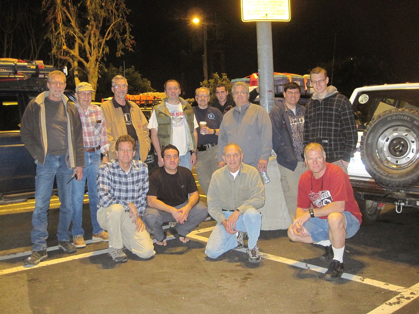
All nine vehicles showed up on time and we departed Whittier at 4 am.

In our group was a rather eclectic variety of vehicles, from near bone stock to highly modified. Our roll call was as follows:

My 1990 Jeep Cherokee which would qualify as highly modified.
Murrie's 1997 Jeep Cherokee 3" lift ARB front and Limited slip rear on 31's
Dan driving my 2001 Toyota Tacoma 2" lift rear Factory lock on 32"s
Jason in his 1998 Jeep Cherokee 5" lift on 33's
Cody in his 2007 Toyota Tacoma 4" lift rear Factory Lock on 33's
Neil in his 2001 Jeep Cherokee 5" lift, ARB F&R on 33's
Matt in his 1987 Jeep Cherokee 3" lift on 31's
Mike in a 80 something Dodge Power Wagon 5.9 Cummins
Jim in his 2007 Toyota 4-runner on a 3" lift an 32's

Our experience level ran from Dan, who this was his first trip to guys like Cody who has ran in competition 4wd events.

I considered this a large group to take on such a long and challenging journey and was surprised to have so many respond to my invitation.

IMG_0770.jpg


Right off at only 50 mile along Matt in his older Cherokee started having cooling system problems and it was decided to leave his vehicle behind and his equipment and supplies were distributed among others and he continued with the group as a passenger. Now we were 8 vehicle.

Breakfast in Baker, lunch in Mesquite. It was also in Mesquite that we discovered that many of our spare gas cans leaked when turned on their sides. With a little bit or rearranging we were able to carry them all up right which game us an even higher profile. Each vehicle started with a full tank and 20-25 gallon of spare fuel. In my case that was 23 gallons in the main tank and 5, 5-gallon gas cans on the roof or rear bumper.

The only exception to the above was the Power Wagon which has a 45 gallon main tank and he decided to only carry 10 gallon of spare fuel.

This had to be without exception the heaviest I had ever loaded my Cherokee, not only was the weight higher on each axle I was also very top heavy. With most of the vehicles running with sway bars disconnected we had to adjust our driving style to this new higher center of gravity.

I originally read about the Arizona Strip from a Expedition Portal thread by XPDISHN at:

http://www.expeditionportal.com/forum/showthread.php?t=40589&highlight=arizona+strip

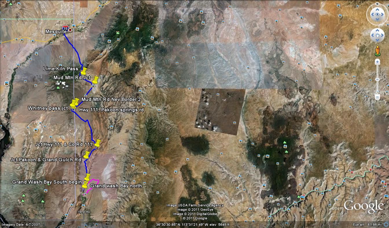
After studying his route and destinations along with just about every book, article and map I could find we decided to alter our route with the intentions of visiting all the same points along the North Rim along with a few other interesting sites.

Day 1 we kept close to the Nevada border following mostly class 2 roads south to the Grand Wash Bay at the beginning of Lake Mead. We arrived in time to set up camp and enjoy our dinner while viewing the sunset.

1_multipart_xF8FF_2_GoogleEarth_Image.jpg


IMG_0780.jpg


IMG_0781.jpg


IMG_0784.jpg


IMG_0790.jpg


IMG_0786.jpg


IMG_0785.jpg


Temps were warm but there were no mosquitoes. This was our lowest elevation at anytime during the trip so we assumed things would be cooler as we climbed.

Not another soul was seen after we has traveled on dirt a few miles and for tonight we were all alone.

So ends day one.

Thanks,
Fred
Explorer 1
 
Last edited:

Explorer 1

Explorer 1
Day 2 , Part 1

Day 2 - Part 1

Grand Wash Bay to Twin Point.

In the previous weeks to our trip I has a conversation with BLM Ranger Paul. He was very helpful. When discussing where we wanted to go I found out that the Nat'l Park Service has closed several of the roads we wanted to take that still appeared open and numbered on the Arizona Strip Visitors Map that we purchased from the BLM District office in St. George Utah. It appears that this office wanting to save money is selling their outdate 2006 maps until they run out and then they will offer the new 2010 map. I passed this information on to the other drivers so when they called and ordered a map ($16.00) they requested the newest one which they did send when requested,

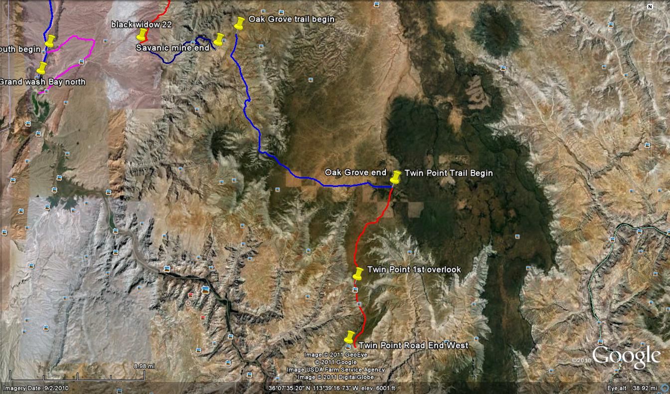
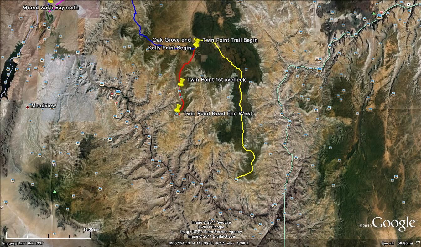
Our plan was to travel from the Grand Wash Bay over to the Savanic Mine trail up over the Grand Wash Cliffs to Oak Grove and then proceed south to Twin Point over looking the Grand Canyon.

With the recent closures by the Park Service we didn't have a route to the Savanic Mine. Ramger Paul had jut recently mapped out a route through BLM land connecting some older rarely used trails which allowed one to go around the Nat'l Park land and re-connect with the Savanic Mine trail north and west of Nevershine Mesa.

He provided waypoints of this new route along with some helpful information which included bringing along some large pruning shears (loppers) to cut back the vegetation as he had driven the route in a UTV not a full size vehicle. He had also placed some brown fiberglass marking posts at strategic locations to help find the route.

Usually the first time camp is broken with such a large group it takes some extra time. Finding places to put all the gear you took out the night before can be kind of like putting the tooth paste back in the tube. You know it came out of your vehicle but your having a hard time finding space to put it back in. However, we were off before 8:30 am, for which I was grateful.

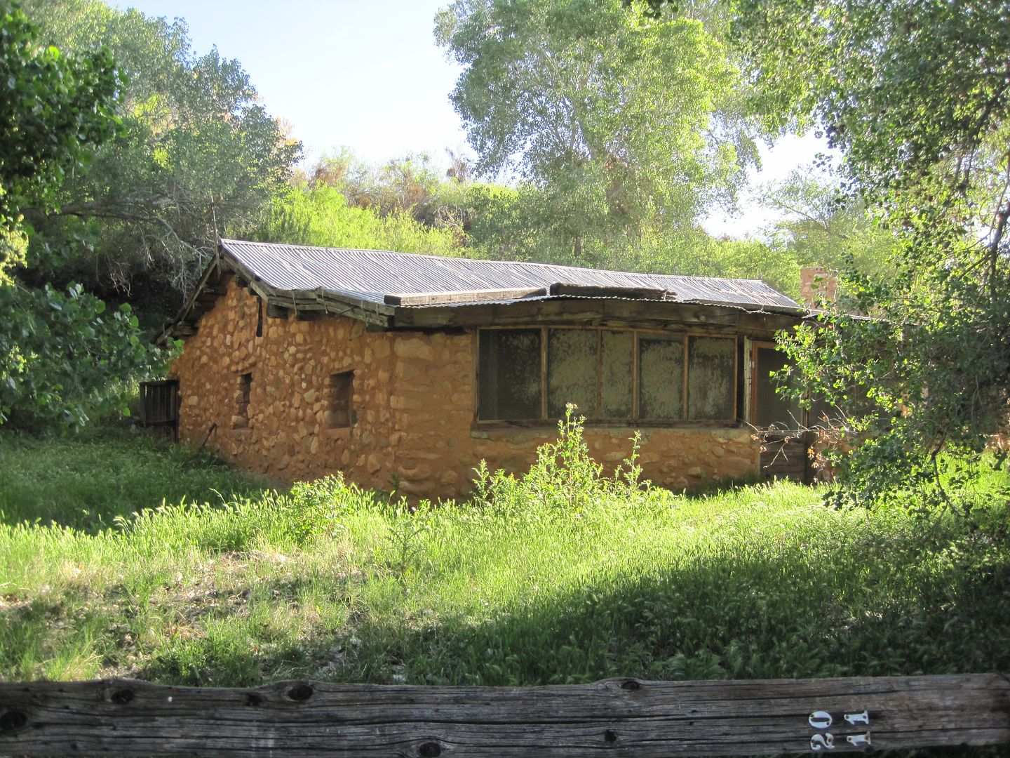
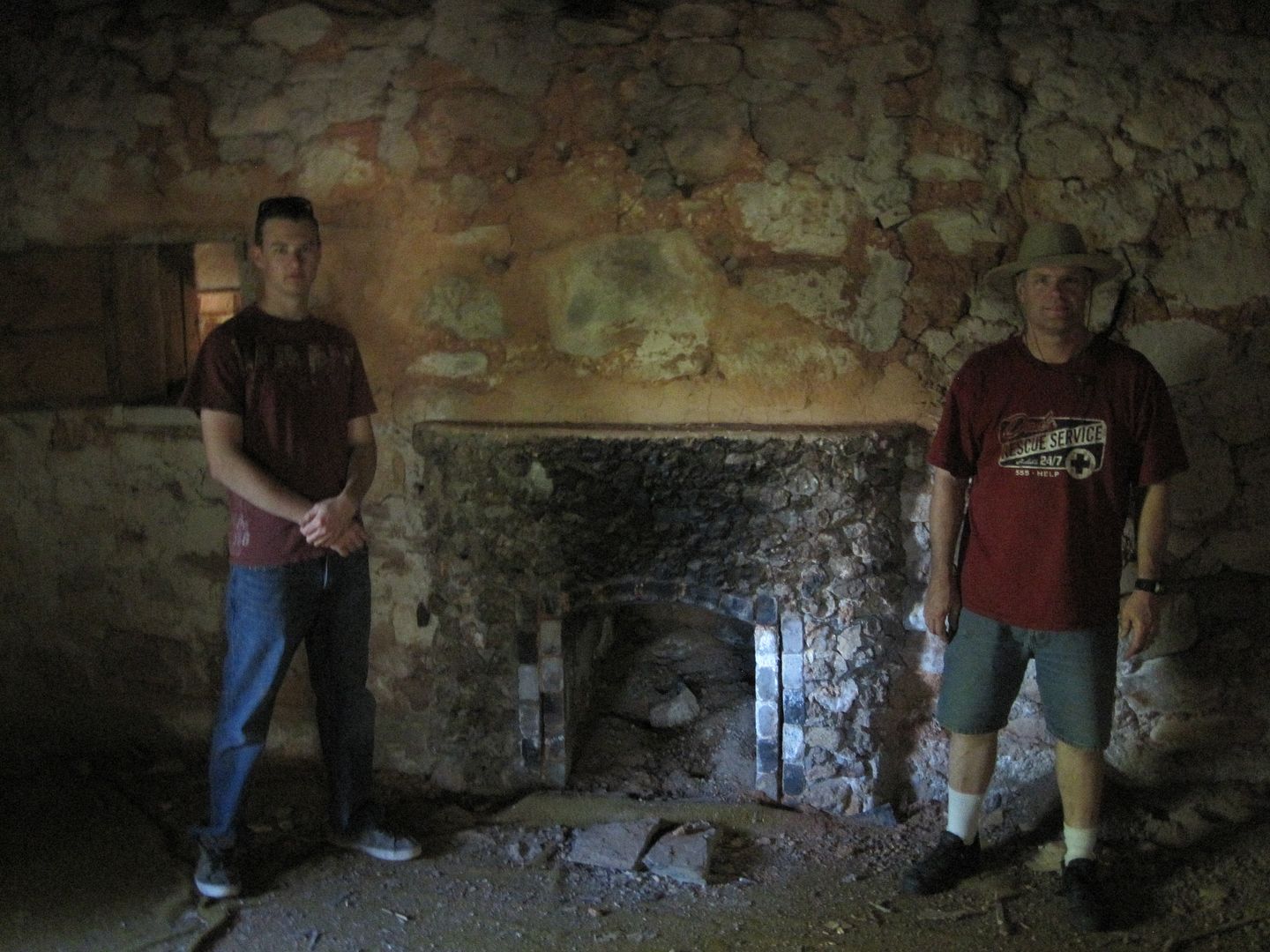
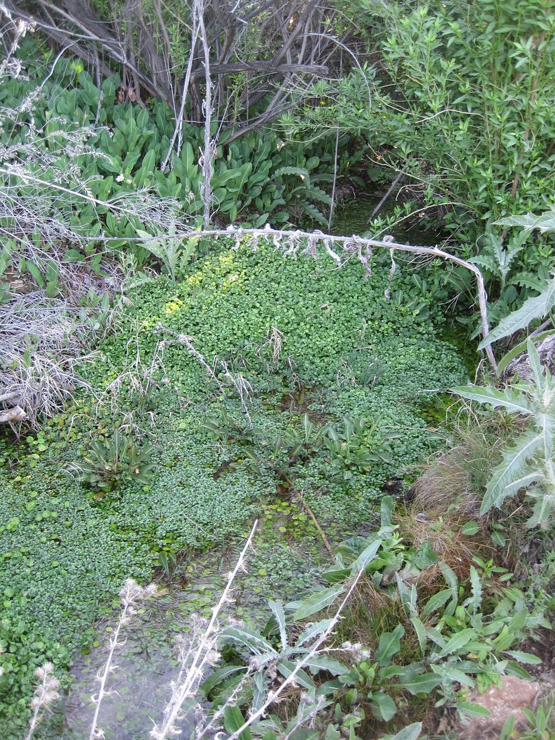
First stop was the old failed homestead Tassi Ranch. An interesting story of a lone individual who for 18 years eked out a living building his stone home from local rock. The natural spring at the rear of his home was still flowing water and had a fresh crop of wild watercress.

IMG_0791.jpg


IMG_0793.jpg


IMG_0792.jpg


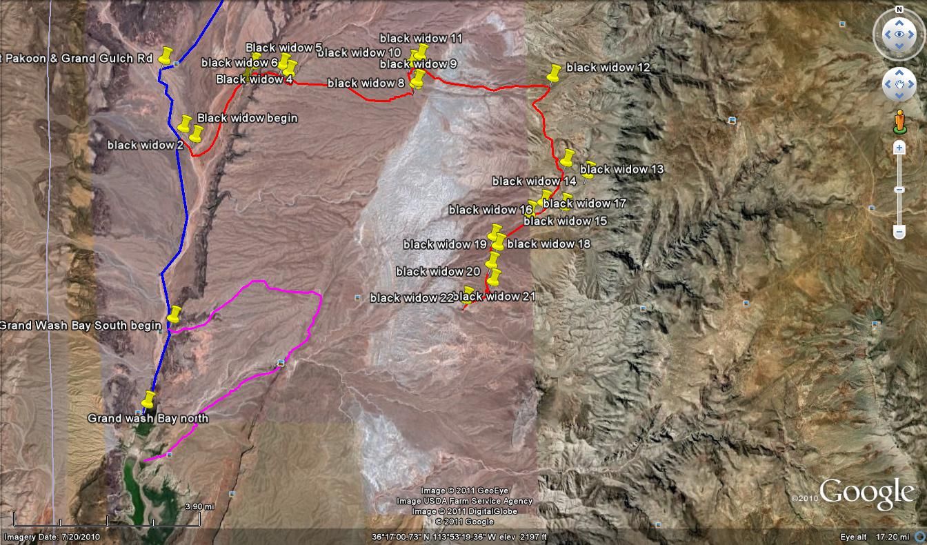
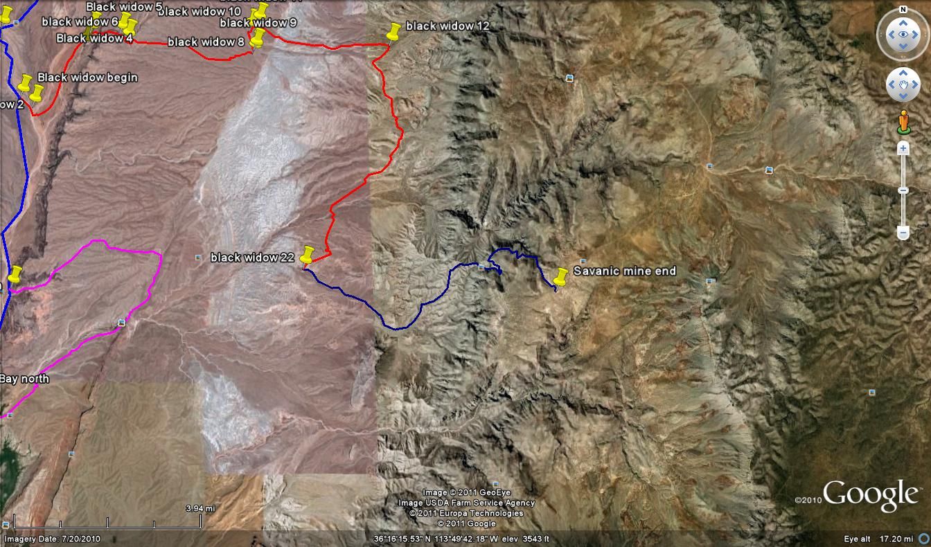
It was about a 17 mile retrace of our prior days travels to the starting point of the new trail. I had named it the Black Widow trail in error because the print was so small on the BLM map and my eyes couldn't read the nearby spring to the starting point of Black Willow Springs. Here is what it looked like on the map.

day2blackwidow.jpg


At it's beginning point other than a faint UTV path in the wash and a brown marker post there was no indications that this was a trail intersection. We proceeded slowly following and the crossing the wash. We entered a very old unused 2 track trail that seemed to end on a small plateau. Under further examination I found it went through some bushes and down a narrow shelf road into a nearby mildly descending wash and then appeared to disappear.

For the wider vehicles like the Power Wagon this narrow shelf was a bit of a challenge but Mike managed this part fine.

Here is a movie of the group coming down the shelf road into the wash:


Once down in the wash the loppers came out as the barely visible path seemed to run from bush to bush.

I mounted a remote camera on my roof rack and captured some of this portion of the trail. You can see how I struggled to stay on route.


This starting/stopping losing the trail/finding the trail went on for few miles. After crossing a wash and climbing a steep hill we joined another faint trail and climbed up to a plateau which offered a great view of the Grand Wash Cliffs wherein lies the canyon we will climb to the Savanic Mine.

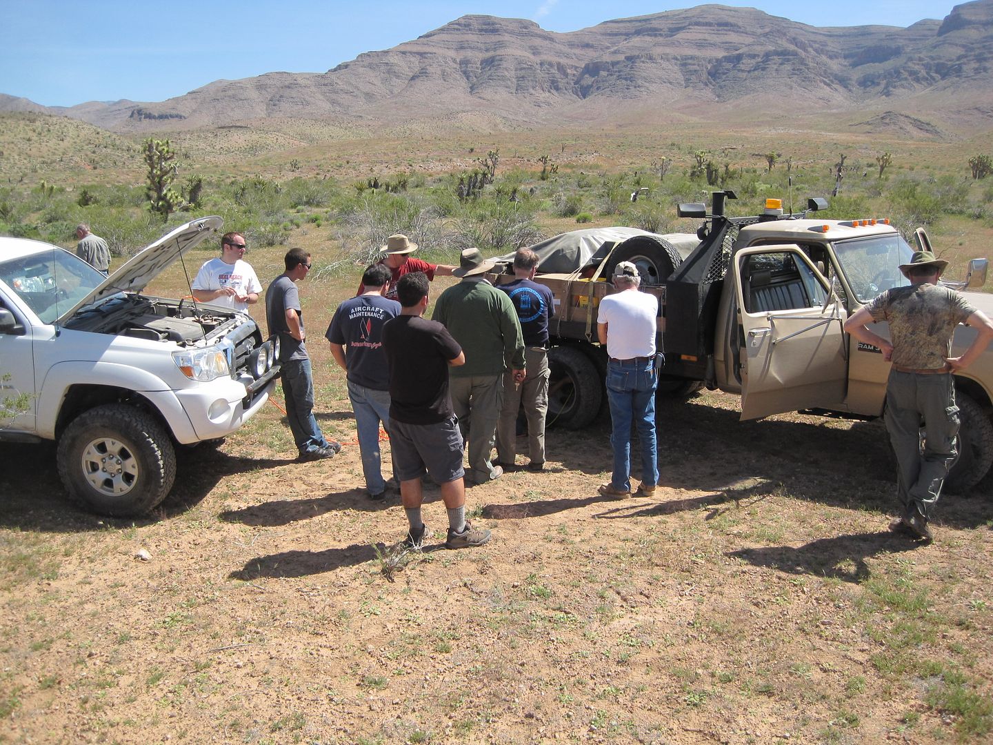
I could tell from the faint trail that no one had driven any part of this trail since the last rain and for that matter no full size vehicle had been here for maybe years. Along this path the Power Wagon had it's first flat. It was a sidewall puncture by a sharp stick. We pushed the stick through and used two plugs, Cody used his ARB pump and away we went.
IMG_0799.jpg


This picture looks more like a CalTrans job except everyone isn't leaning on a shovel.

It took all the way 1:30 pm to finish the "Black Widow" trail approx. 18 miles. After lunch we proceeded up rather steep canyon toward the Savanic Mine.

Here is a map of our next section:

SavanicMileTrailmap.jpg


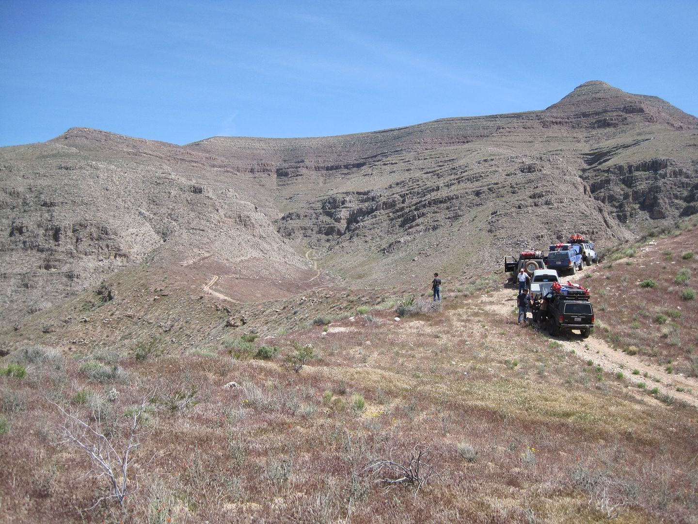
While not a very technical section, the trail was steep and I noticed the water and trans temp gauge raising so when we reached this beautiful saddle I stopped for a break to allow everyone to catch up and cool off the engines.

IMG_0805.jpg


From here the trail entered a very narrow shelf road that would really test the Power Wagon with its wide duel rear wheels. At one point the front wheel went off the shelf and barely was able to recover. It was several hundred of feet down to the canyon floor.

I don't have any photos of this section only movies, perhaps one of the other guys will have one and I'll post it here later. Here is a brief clip of the Power Wagon, it still doesn't show how narrow and steep the drop off was.


After the shelf road we arrived at the Savanic Mine site where there were several mine shafts including a vertical one where we couldn't see the bottom. From here the trail is named the "Staircase" due to the steepness and size of the rocks in this poor quality section of the trail. For the person with rock crawling experience this section was some fun without too much challenge. However in our group were those with little or no rock crawling experience and we had the full size Power Wagon (PW) to somehow get through this section. We took a break and once the PW caught up it announced that the two plugs we put in earlier were pinched out on the steep climb and they needed to put on the spare.

A little about the PW, Mike purchased the "beast" from the State of Colorado as in it's prior life it was a forest service truck with a full utility bed. It came equipped with a 5.9 Cummins Diesel engine, Dana 60 front/70 rear axles. It is a manual transmission and has a fairly low gearing in the transfer case. Leaf springs front and rear. Mike has removed the utility bed and replaced it with a flat bed. It still weights in the area of 8000 lbs and was about to go through the challenge of it life.

For most of the rest of the afternoon I spend driving up a short ways up the staircase, then running back to help spot one of the vehicles up the next set of stairs. eventually came the PW's turn and the first obstacle included a large rock that had fallen down the hillside which required the driver to push his driver's side up the hill side some to get around it. Most the narrow vehicle had no problem but Cody provided a little extra pull for the PW in this case.

I took no photos of this section as I was very busy, but I handed the movie camera to one of the others.

Here is my friend Dan in my Tacoma. He had just flown in from London a few days before and this was his first 4wd off road trip ever. He also brought along his 83 year old dad for the adventure! He was a fast learner and did real well. This is at the starting of the Staircase.


Here is the PW going around the large rocks:


Then it powering through more of the trail, ( you didn't want to stand behind it when it spit out one of those rocks!)


Part 2 of Day 2 later......

Thanks,

Fred
Explorer 1
 

BEVAN

Adventurer
Very Cool, I cant wait for the rest of this report !

Does that 87 XJ have the factory cooling configuration ?
 

RB1

Observer
Very nice write up and pictures. Once leaving Mesquite how much of this trip could be done by a non street legal truck? Seems most of the trip so far has been on BLM land so being street legal probably isn't a concern. Correct?
 

Explorer 1

Explorer 1
Street Legal

Very nice write up and pictures. Once leaving Mesquite how much of this trip could be done by a non street legal truck? Seems most of the trip so far has been on BLM land so being street legal probably isn't a concern. Correct?

The Grand Wash is in Nat'l Park and I know they only allow street legal in the park, I'd check with the BLM office in St George for their regulations.

Thanks,
Fred
Explorer 1
 

Explorer 1

Explorer 1
Day 2, Part 2 Twin Point

Day 2, Part 2 - Twin Point

It took some time and effort to get the PW up the staircase but it along with all the others made it on their own power without any further pulling. Once on top the Grand Cliffs Wash the terrain opens up and you can see for miles.

Our original plan was to make a side trip to the Grand Gulch mine but we used so much time already and still needed to make the trek out to Twin Point before dark, so I decide to forgo the mine visit.

Following the route we made ahead of time on my Lowrance we were off to Twin Point late in the afternoon.

TwinPoint.jpg


Such a beautiful trail! Easy driving, great views, at several occasions I stopped just to look around and enjoy the sites.

IMG_0807.jpg


In route to twin Point we got a bit spaced out too far and for a few minutes we lost one of our vehicles, fortunately it was only a few minutes and we recovered him and were on our way again, but not without me first reviewing with all drivers our "buddy" system for when you came to a "T" or "Y" in the road.

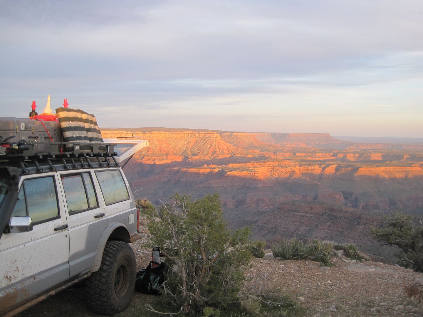
The class 2 maybe 2 1/2 to 3 road to Twin Point was an easy drive. We arrive just before sunset and enjoyed the late afternoon colors on the canyon walls. For some in our group this was their first time seeing the Grand Canyon and their excitement and enthusiasm was fun to witness.

Camping right on the rim was an experience new to all of us and was enjoyed immensely!

IMG_0809.jpg


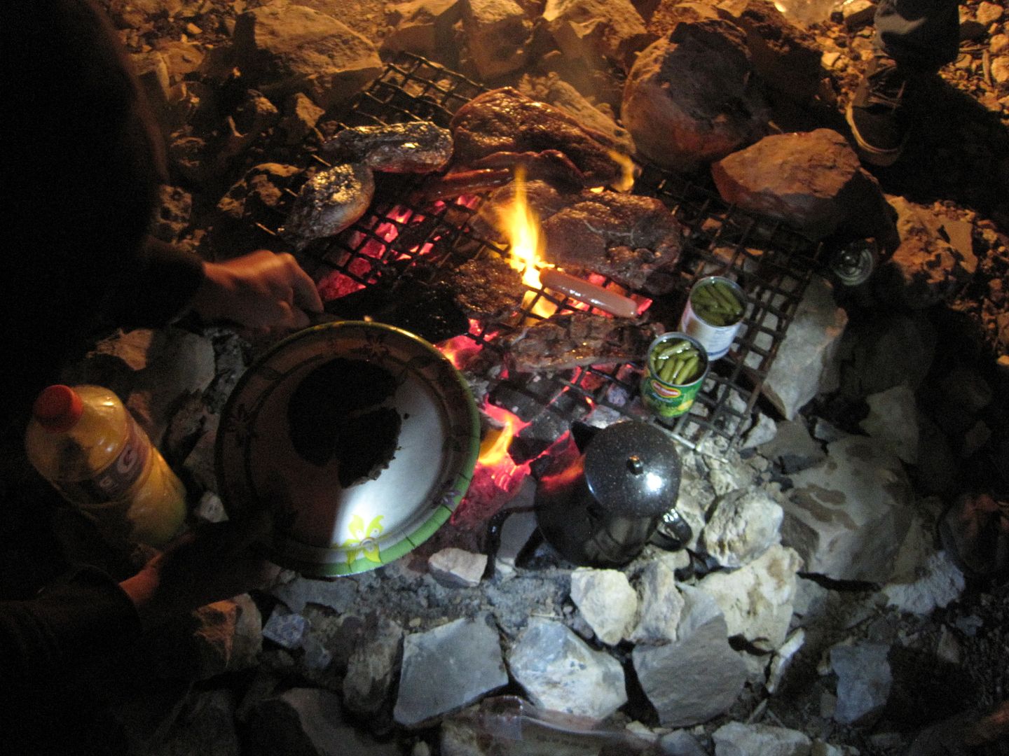
We savored the sunset and our red meat that evening cooked on an open fire.

IMG_0830.jpg


Early next morning we were treated with a unique visual sighting, a sunrise at the same time as a moonset. These pictures were taken at the same time but 180' apart. To the west the full moon was just beginning to set to the east the sun was just beginning to rise.

IMG_0812.jpg


IMG_0814.jpg


IMG_0813.jpg


We broke camp and headed out the same way we came in but would then turn our direction and energy to driving out to Kelly Point. One of the articles described the trip out to Kelly as more of an expedition than a drive! We'll see.

One last shot from Twin Point:

IMG_0818.jpg


Thanks,

Fred
Explorer 1
 

Explorer 1

Explorer 1
Day 3, Kelly Point - Part 1

Day 3, Kelly Point Expedition - Part 1

The 9 mile drive out from Twin Point to Oak Grove went without a hitch. One travels from high desert with Mesquite and Junipers to tall pine and fur trees. It's quite a transition . I had read about this in one of the articles but it was wonderful to actually experience it.

With the increase in elevation also came some mud. This didn't bother us and added a little challenge to the easy trail around Oak Grove. (little did we know what we were in for later in the day being so early in the year and most likely one of the first to drive out to Kelly point this season)

IMG_0819.jpg


In route we came across a herd of deer, there had to be a buck somewhere among all those does.


Once we turned off to the Kelly Point Trail we came across this cabin and former ranch.

IMG_0822.jpg


IMG_0821.jpg


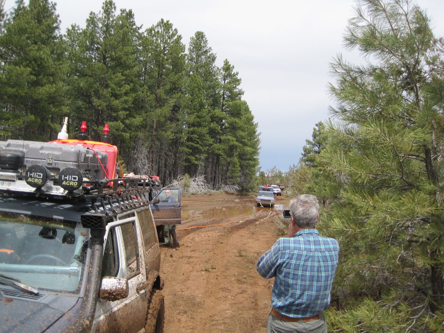
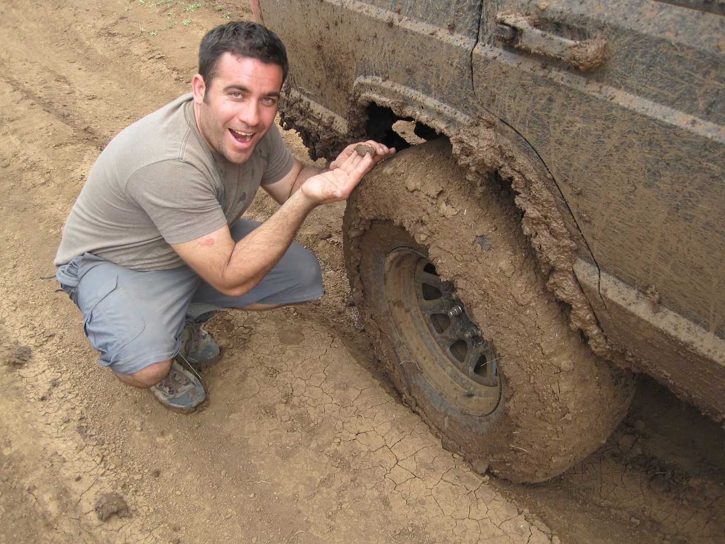
From here there was a meadow that the trail went right through, spring was still in the air and the trail through the meadow was more like a depression full of water and mud. It was a real challenge for some vehicles for about 1/2 a mile. Murrie got stuck in the last puddle and had to be pull so early on we decided to strap the PW to another vehicle and pull in tandem through the mud which worked well without the PW getting stuck once. Jason who elected to do the pulling was rewarded with a fresh layer of mud evenly distributed over all his Cherokee.

IMG_0823.jpg


IMG_0824.jpg


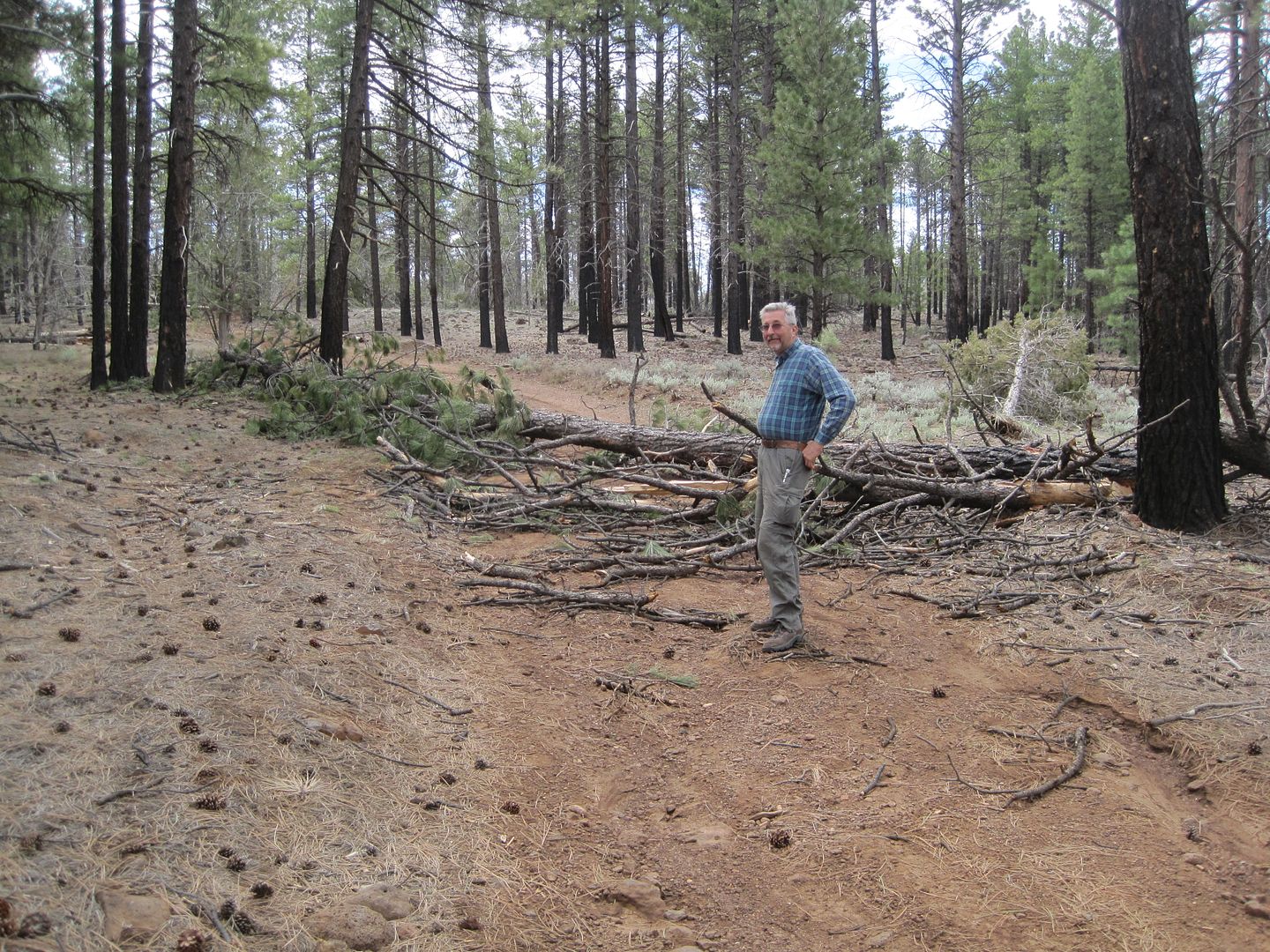
To give some perspective on the distance to Kelly Point, the prior day we drove out to Twin Point, approx. 11 miles. The distance out to Kelly Point is 31 miles. There appears to have been little or no trail maintenance on this trail for some years. Being what appeared the first vehicles on this trail this season there were numerous trees that had fallen and had to be either winched, chain sawn, pruned or just pushed out of the way. It took us close to 6 hours to drive the 31 miles. We were dog tired by the time we got there and shortly after dinner we all wandered off to bed.

KellyPoint-1.jpg


IMG_0820.jpg


I attached a remote camera on my roof rack and captured what we had to deal with over 50 times in route. I shortened the video to the last 3 minutes.


When we weren't removing trees we had several miles of road like this:


That's all for now, Day 3, part two later.

Thanks,

Fred
Explorer 1
 
Last edited:

Larry

Bigassgas Explorer
Looks like a great trip Fred. There is so much to see out there it is amazing. We spent a week out there in July 2009. Man it was hot and dry! BTW where did you get your SPOT holder thingy that you can see in video above?
 

Explorer 1

Explorer 1
SPOT Holder

BTW where did you get your SPOT holder thingy that you can see in video above?

The quick answer is, from my sister who gave it to me for Christmas.

I'll check with her, it works great. Before I use to just let it sit loose on the dash and tumble around.

It's a Ram product, check out their website at Ram-mount.com

Thanks,
Fred
Explorer 1
 
Last edited:

Forum statistics

Threads
188,320
Messages
2,905,372
Members
229,959
Latest member
bdpkauai
Top