ExpoMike
Well-known member
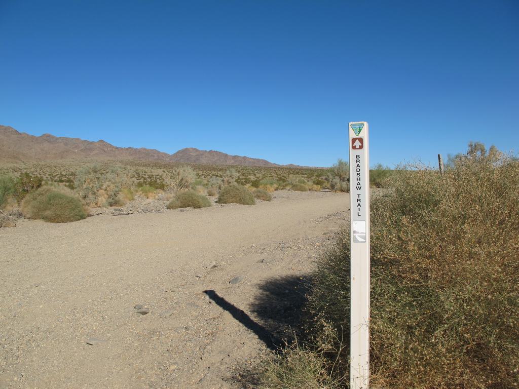
Guess this could also be called, How we spent our Thanksgiving weekend in 2010. It started with 3 rigs (TacoDoc and Mrs. Doc, my dad Harold, Lisa and myself) with the idea to set off across the Bradshaw Trail, east of the Salton Sea. We met up in Murrieta and headed to Mecca to top off with fuel and grab some lunch. From here is is about 10 miles down Highway 111 before taking some side streets to get up along the canal road. Once on this it's another 9 miles or so to the starting point of Bradshaw.
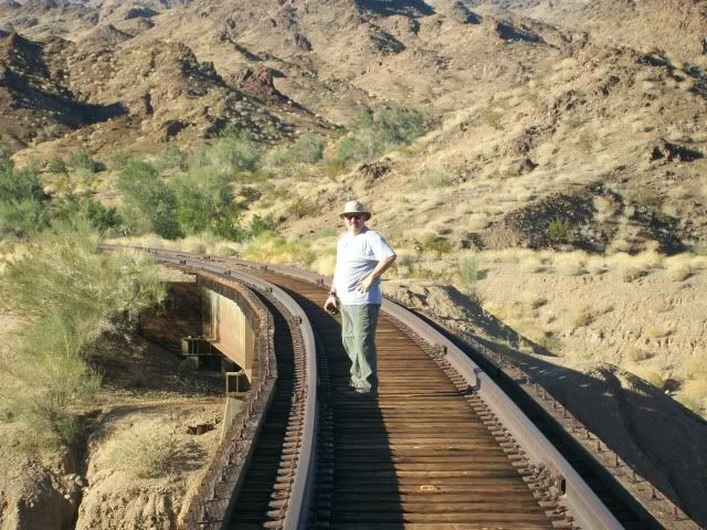
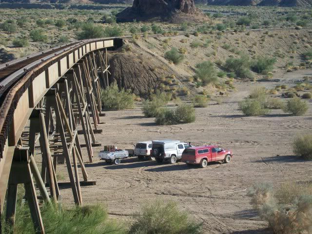
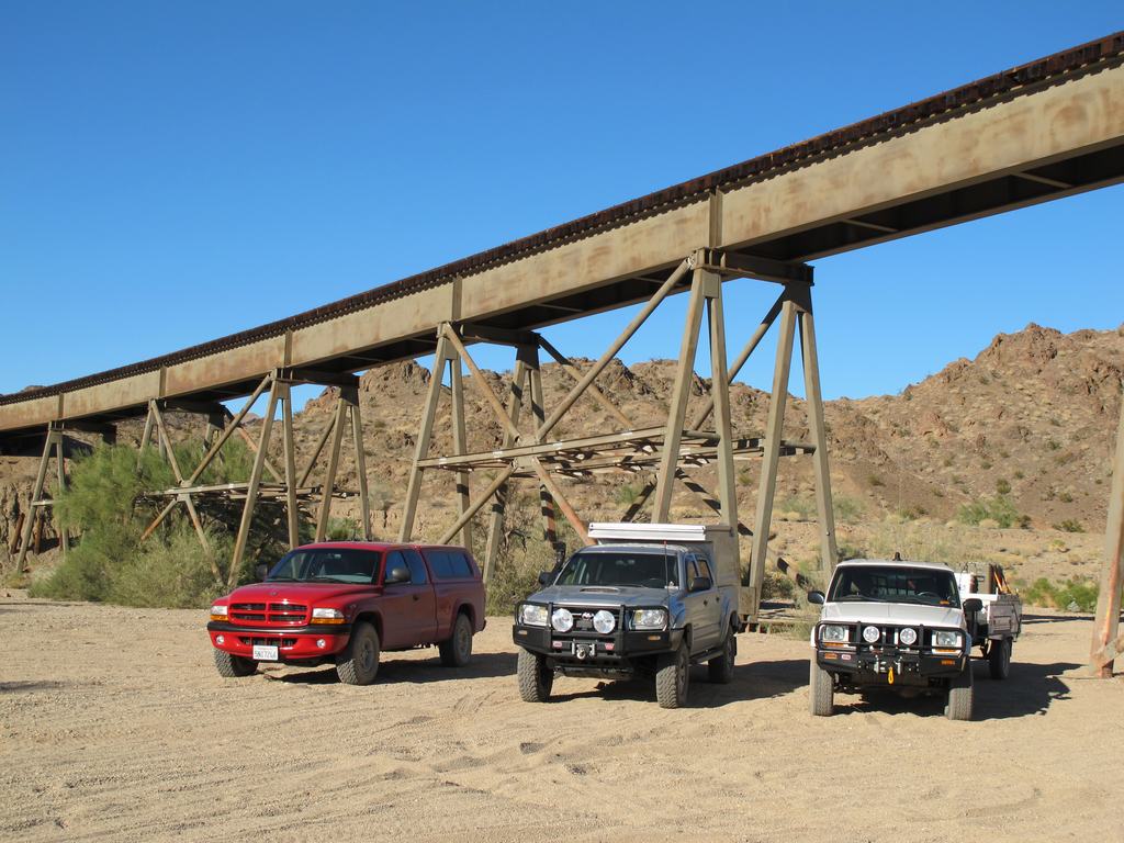
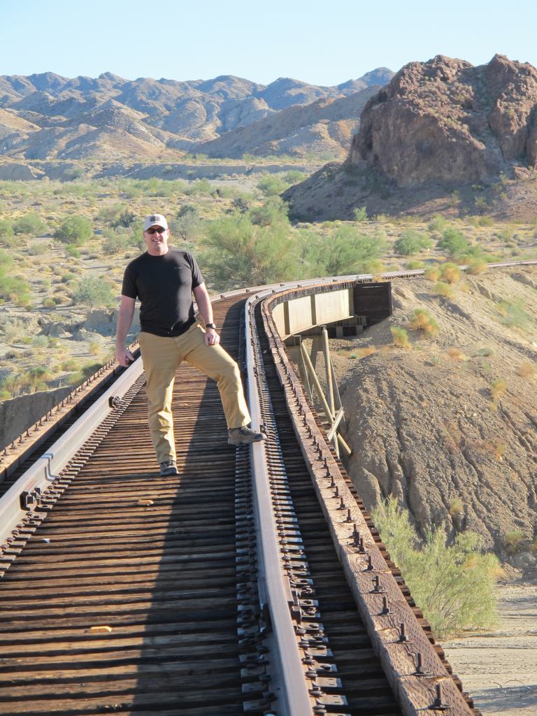
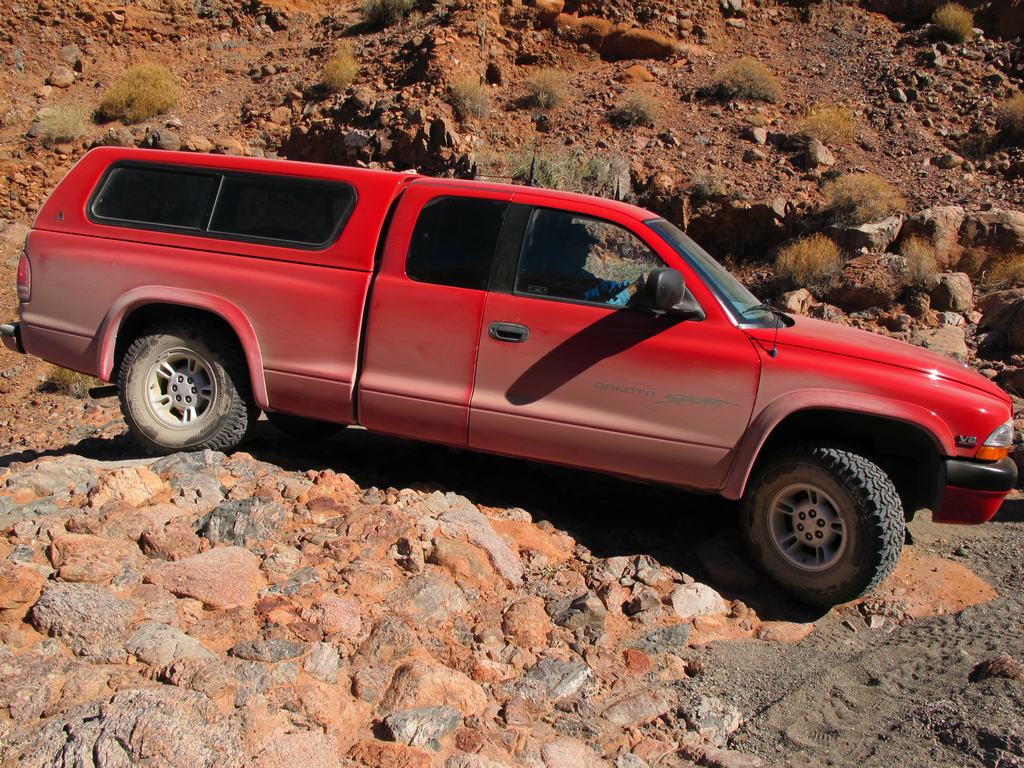
Aired down and ready to hit the trail, off we went. Our first stop was at the train trestle for a quick photo op. Dave and I went up onto the trestle for some overhead shots of the rigs. Back in the rigs, we set of east to find what would be camp for the night. It was mid afternoon and we didn't want to figure out where to camp in the dark, so we kept a decent pace since the trail was graded and fairly smooth. In doing so, the three rigs got spread out some because of the dust. This led to Harold (bright red Dakota) to somehow pass us in a parallel wash. We had been in CB contact but the Y we told him to take left was not the same one he took. He found a sign post marker and a quick reference of our maps, he was about a half mile ahead of us. Still no idea how we never saw him pass us but goes to show you how easy someone can get lost in the desert.
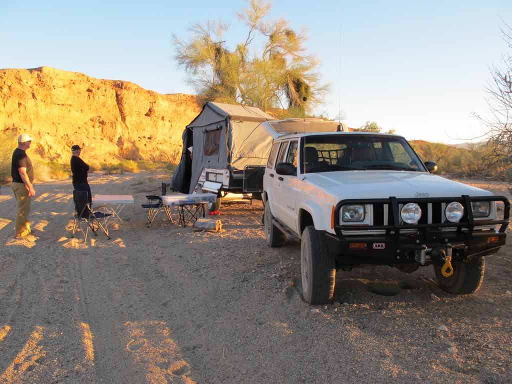
Regrouped, we headed up a little more to Amy Wash and turned north. I had read online that there are some nice camp spots along this so we traveled up to see what we could find. As it was we found a great spot, nice and level, enough room and even had a fire ring and a couple logs left over from a previous camper. Score! Everyone gets setup and starts dinner. We all commented on how nice it was to do this all in daylight, as typically we end up in camp later than expected. After dinner, Dave gets a nice fire going and we all hang out enjoying the quiet and company of good friends. It was noted that it seemed colder than the forecasted low 40's of the evening. Well it sure was! My temp gauge showed a low of 22* INSIDE our Kamparoo at about 3AM. Man we really need to get a heater.
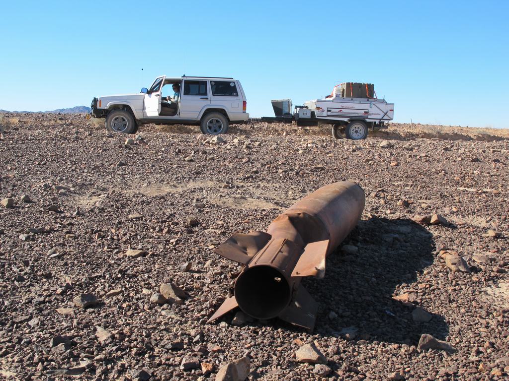
The next morning we were greeted with a crisp, clear morning. No wind overnight (first time ever for us) but it was cold. As the sun continued up, it was warming quickly and everyone got breakfast done and everything packed away for our travels on. We backed track down to Bradshaw again and continued east. We found a bunch of old practice bombs and took pictures along the way. Having checked the BLM roadside map stations, I decided that a change of pace from the graded road would be fun and more interesting. We took the Augustine Pass trail and headed north. The idea was to take this up to Chuckwalla Springs trail and head over to Graham Pass. It started as a good idea. Augustine Pass is way tighter, twistier and technical than any of us expected, especially Harold in his stock Dakota.
As we drove down this pass, it was soon discovered that you cannot turn around in about 95% of it and no way with a trailer in tow. We continued forward thinking it would have to get better and in spots it would open up some and then tighten back down. The three of us snaked our way thru this pass and made it to the intersection with Chuckwalla Springs. We were definitely rewarded with some breathtaking scenery and have some stories to tell others. We did a quick stop there for lunch before moving on. One thing about BLM lands, they do put markers up to help navigate around. Downside is, their arrow markers fade out and you really can't tell which way to go at times. We found one of those times.
As we made our way up Chuckwalla Springs trail, we took a right that should have been a left. At first this was a good thing as we found some old mine workings and took some pics before we continued up the trail. The maps we had on hand didn't really detail the trail we were on and we found out it lead into a dead end further up. We had passed a trail on the left and right so I tried the hill climb out of the wash onto the right one. Well this was MUCH steeper and dragging a boat anchor behind us, we made it about 3/4 the way up. Backing down was entertaining when the wheels are locked and you keep rolling. With some spotting, we got down without any issues but the pucker factor was definitely pegged!
We continued back down and took the left trail (now on our right) and followed that. This led us up to another old mining area. Figuring they had to have gotten that equipment up there via some access point, we took what appeared to be the only road/trail out. As we continued, we could tell this trail wasn't used anytime in the last number of years. What it did do is drop us about a 1/4 mile from the first mine we stopped at. Okay, we decided to back track and in doing so found the marker with the trail we wanted. This made a quick trip over to Graham Pass but ate up a couple hours in total. Harold decided to part company as a concern about gas and not wanting to spend another night in 22* weather, won over the idea of continuing on. Graham Pass took him right up to I-10 freeway so he took off.
The rest of us continued south on Graham Pass to get back to Bradshaw. We got back on the main route and continued east. It was definitely later in the day than hoped so looking for a camp location was becoming a priority. I took us down a cutoff trail that cut thru the Geode beds. We traveled down that and took a couple side trails that led up to the hills on the west side of the bed. We found a nice spot that had a fire ring and proceeded to get setup for the evening. We hunted around for some Geodes before making dinner, which got started at dusk. After dinner Dave got a fire going and we sat around talking about the day's events, things going on in the world and life in general. We commented that it was much warmer tonight than the previous evening. As we went to bed for the evening, I noted it was in the high 50's. Much nicer... until the wind kicked up. Though it didn't get below 47*, we had gusty winds blowing all night. It made sleeping a little harder since you would hear the canvas buffeting and could actually hear the wind coming before it hit us. Very weird.
Morning came and we were much happier that it did not get cold overnight. We still had some gusting winds but much less then overnight. A quick bit to eat, get things packed up and hit the trail. Backtracking much of this we made our way to Wiley Wells road and headed north. This took us back to I-10 where we aired up the tires, said our goodbyes and for us, headed to the nearest gas stop, about 10 mile east. From there is was all freeway (and all the holiday weekend traffic) back to San Diego and an end to our trip.
We all had a great time, saw some really cool stuff and did a little more crawling around than expected. Everyone made it thru without any problems and Harold as happily surprised at what "Big Red" can do. Well, no trip report would be done without the pics so here you go. Enjoy!
Full gallery of pics (106) http://gallery.lisaandmike.org/bradshaw2010
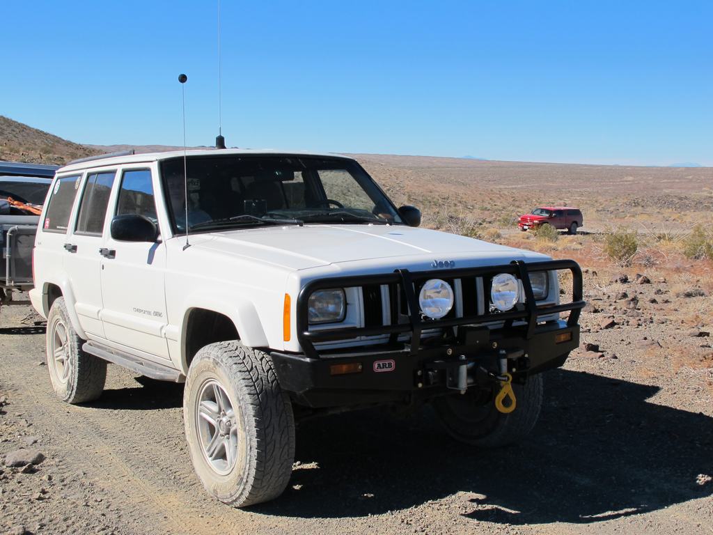
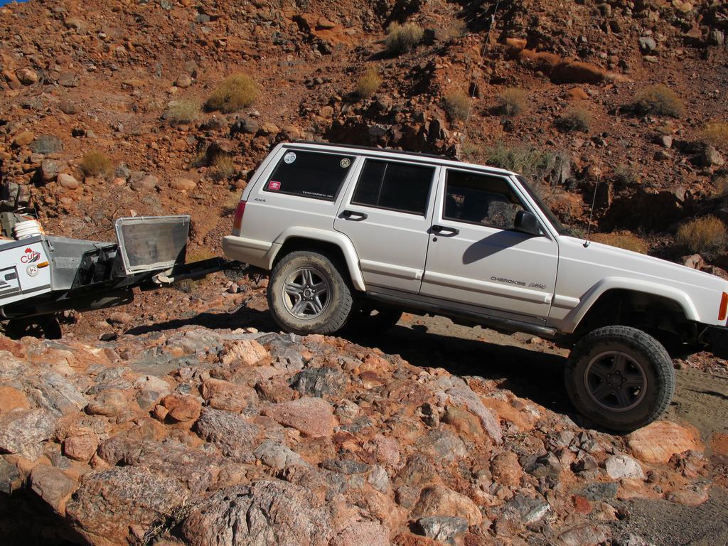
Three rigs...
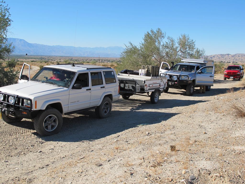
One trail.
Dave and his Capt Morgan poise
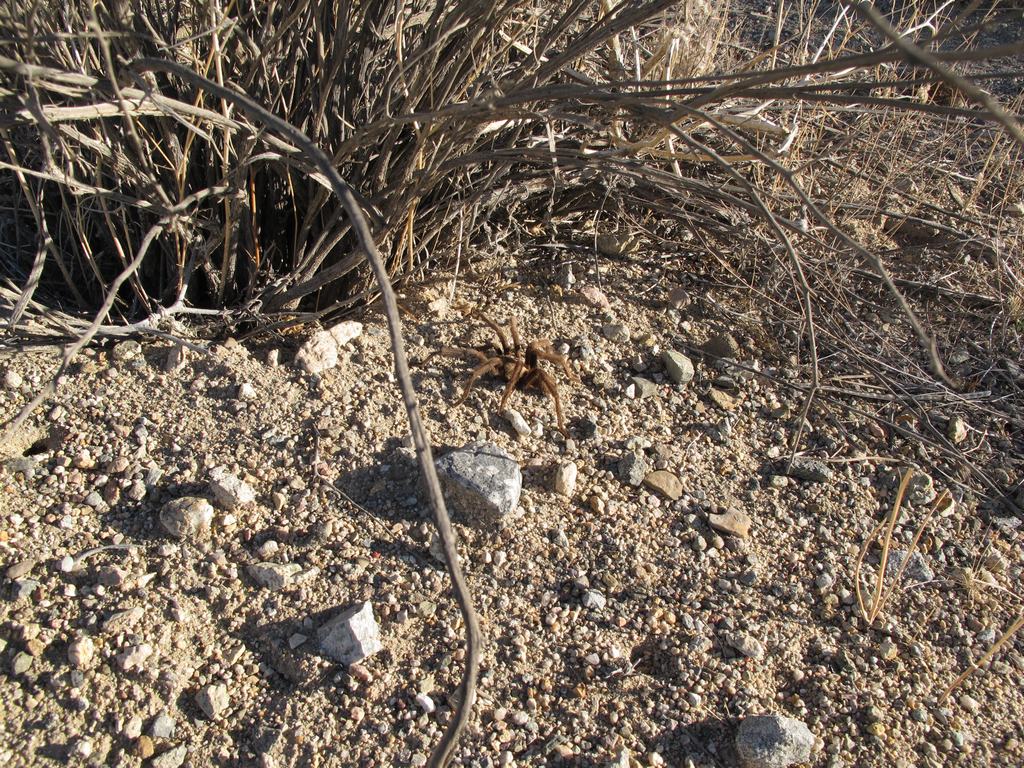
Some of the wildlife was saw
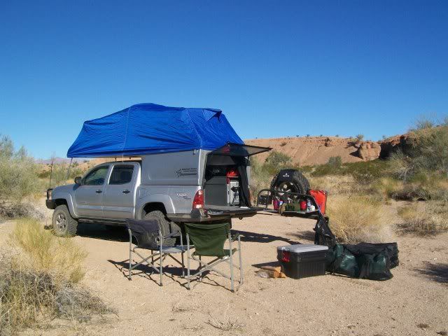
Camp setup for the first night
Glad we weren't the target...
High point of Augustine Pass, it's all downhill from here
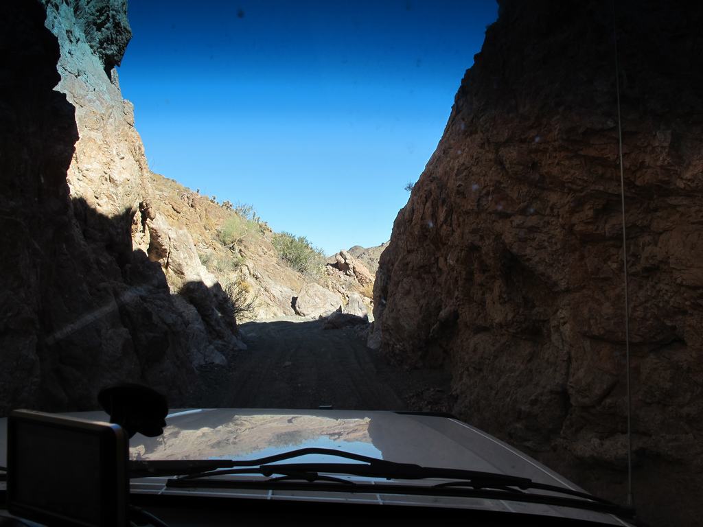
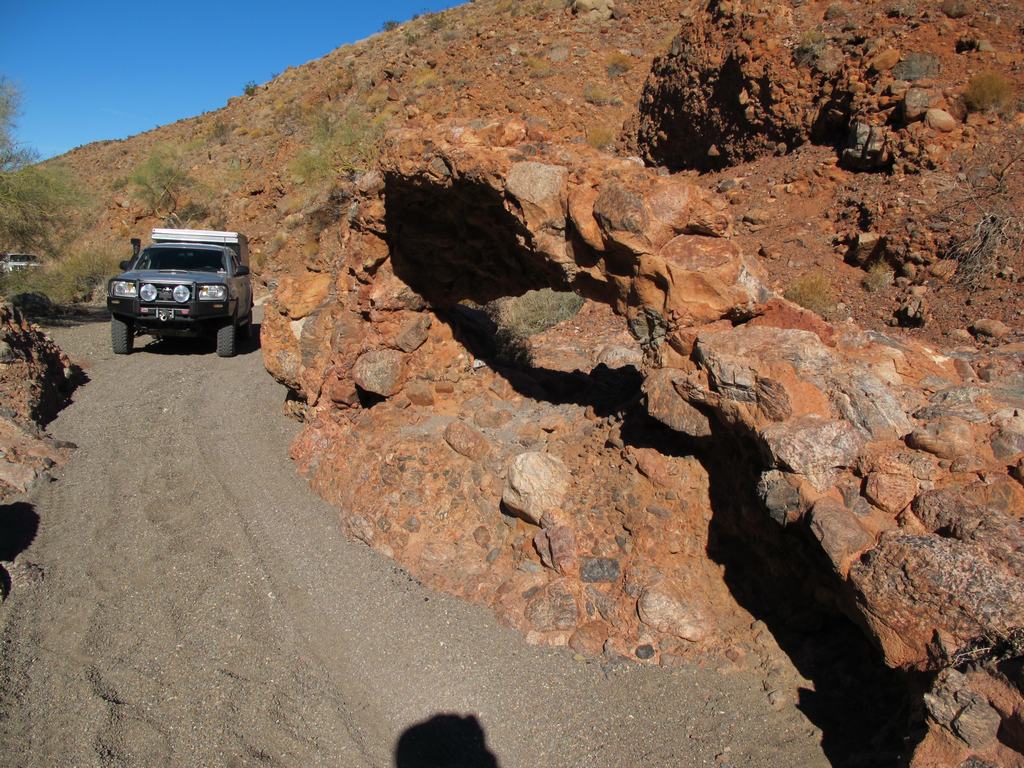
Is there even a trail here? I had to get out and check
Yes there was!
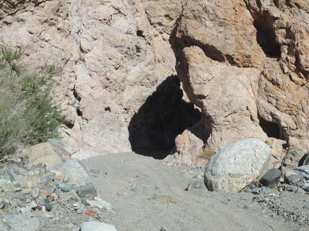
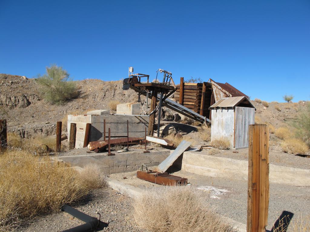
Old mine equipment
Dave pondering if this would make a good garage for the Taco?
Tight squeeze or bypass... hummm...
Bypass it was
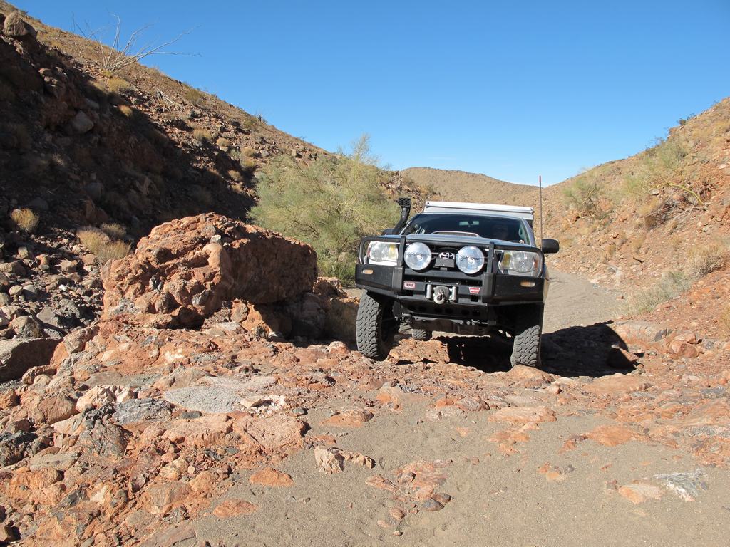
Decided it was too tight with the trailer, bypass it was
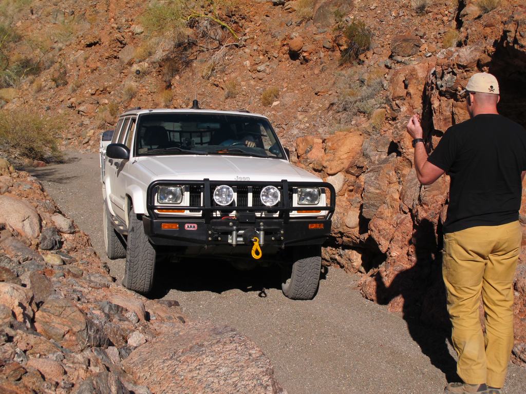
We let Harold go before me, incase he got stuck, we had winches in front and behind him. Remember he is bone stock
My turn
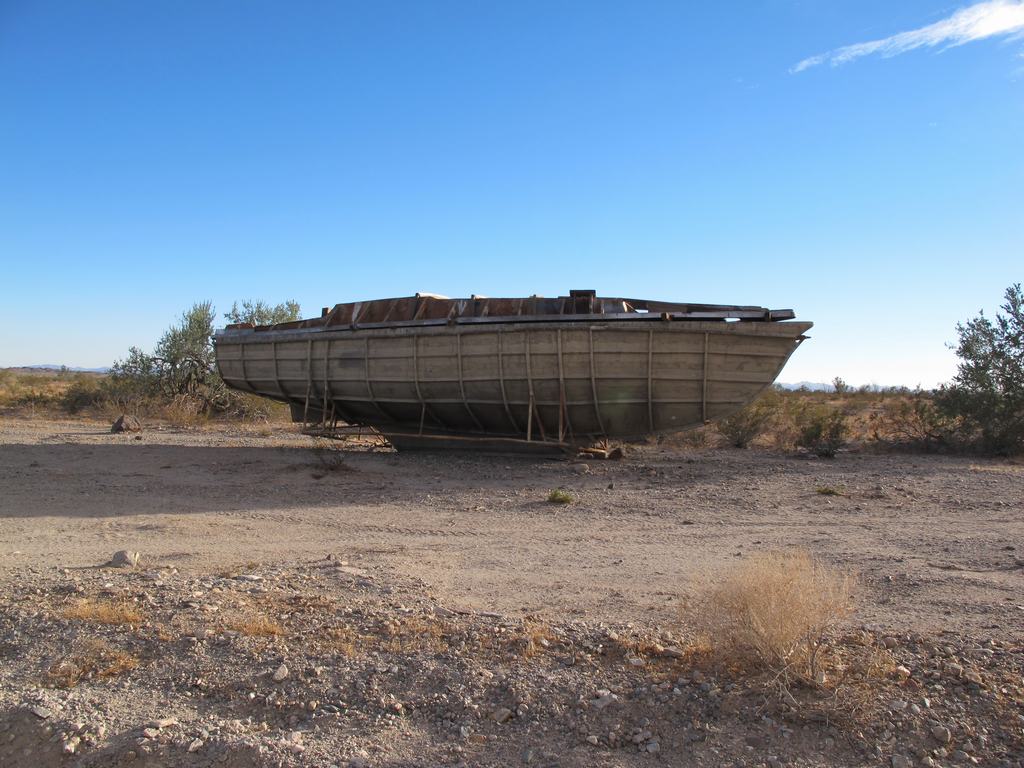
Never sure what you will find in the desert. Maybe they know something we don't...
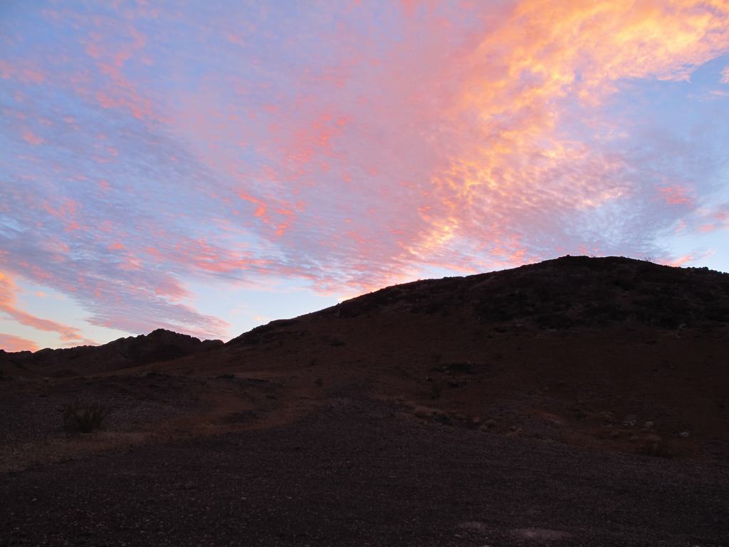
Evening clouds made for a pretty colors
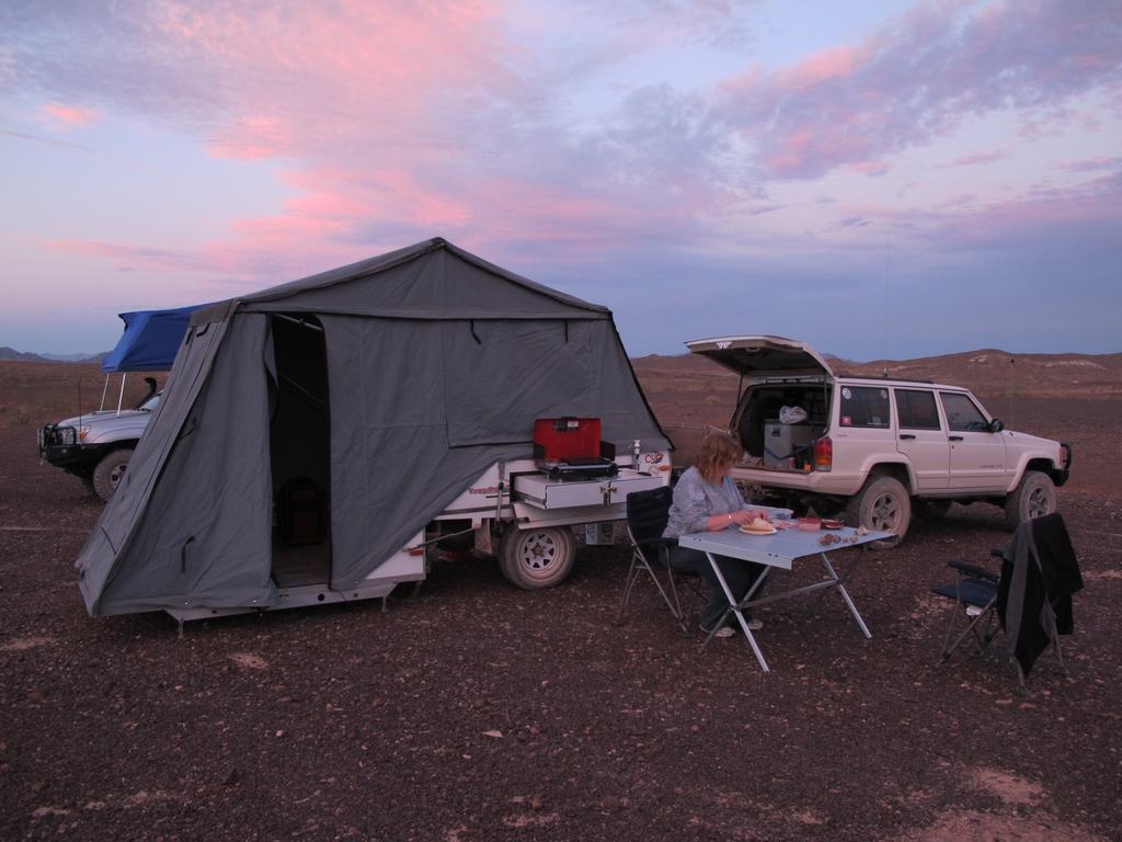
Camp for night two
Aired down and ready to hit the trail, off we went. Our first stop was at the train trestle for a quick photo op. Dave and I went up onto the trestle for some overhead shots of the rigs. Back in the rigs, we set of east to find what would be camp for the night. It was mid afternoon and we didn't want to figure out where to camp in the dark, so we kept a decent pace since the trail was graded and fairly smooth. In doing so, the three rigs got spread out some because of the dust. This led to Harold (bright red Dakota) to somehow pass us in a parallel wash. We had been in CB contact but the Y we told him to take left was not the same one he took. He found a sign post marker and a quick reference of our maps, he was about a half mile ahead of us. Still no idea how we never saw him pass us but goes to show you how easy someone can get lost in the desert.
Regrouped, we headed up a little more to Amy Wash and turned north. I had read online that there are some nice camp spots along this so we traveled up to see what we could find. As it was we found a great spot, nice and level, enough room and even had a fire ring and a couple logs left over from a previous camper. Score! Everyone gets setup and starts dinner. We all commented on how nice it was to do this all in daylight, as typically we end up in camp later than expected. After dinner, Dave gets a nice fire going and we all hang out enjoying the quiet and company of good friends. It was noted that it seemed colder than the forecasted low 40's of the evening. Well it sure was! My temp gauge showed a low of 22* INSIDE our Kamparoo at about 3AM. Man we really need to get a heater.
The next morning we were greeted with a crisp, clear morning. No wind overnight (first time ever for us) but it was cold. As the sun continued up, it was warming quickly and everyone got breakfast done and everything packed away for our travels on. We backed track down to Bradshaw again and continued east. We found a bunch of old practice bombs and took pictures along the way. Having checked the BLM roadside map stations, I decided that a change of pace from the graded road would be fun and more interesting. We took the Augustine Pass trail and headed north. The idea was to take this up to Chuckwalla Springs trail and head over to Graham Pass. It started as a good idea. Augustine Pass is way tighter, twistier and technical than any of us expected, especially Harold in his stock Dakota.
As we drove down this pass, it was soon discovered that you cannot turn around in about 95% of it and no way with a trailer in tow. We continued forward thinking it would have to get better and in spots it would open up some and then tighten back down. The three of us snaked our way thru this pass and made it to the intersection with Chuckwalla Springs. We were definitely rewarded with some breathtaking scenery and have some stories to tell others. We did a quick stop there for lunch before moving on. One thing about BLM lands, they do put markers up to help navigate around. Downside is, their arrow markers fade out and you really can't tell which way to go at times. We found one of those times.
As we made our way up Chuckwalla Springs trail, we took a right that should have been a left. At first this was a good thing as we found some old mine workings and took some pics before we continued up the trail. The maps we had on hand didn't really detail the trail we were on and we found out it lead into a dead end further up. We had passed a trail on the left and right so I tried the hill climb out of the wash onto the right one. Well this was MUCH steeper and dragging a boat anchor behind us, we made it about 3/4 the way up. Backing down was entertaining when the wheels are locked and you keep rolling. With some spotting, we got down without any issues but the pucker factor was definitely pegged!
We continued back down and took the left trail (now on our right) and followed that. This led us up to another old mining area. Figuring they had to have gotten that equipment up there via some access point, we took what appeared to be the only road/trail out. As we continued, we could tell this trail wasn't used anytime in the last number of years. What it did do is drop us about a 1/4 mile from the first mine we stopped at. Okay, we decided to back track and in doing so found the marker with the trail we wanted. This made a quick trip over to Graham Pass but ate up a couple hours in total. Harold decided to part company as a concern about gas and not wanting to spend another night in 22* weather, won over the idea of continuing on. Graham Pass took him right up to I-10 freeway so he took off.
The rest of us continued south on Graham Pass to get back to Bradshaw. We got back on the main route and continued east. It was definitely later in the day than hoped so looking for a camp location was becoming a priority. I took us down a cutoff trail that cut thru the Geode beds. We traveled down that and took a couple side trails that led up to the hills on the west side of the bed. We found a nice spot that had a fire ring and proceeded to get setup for the evening. We hunted around for some Geodes before making dinner, which got started at dusk. After dinner Dave got a fire going and we sat around talking about the day's events, things going on in the world and life in general. We commented that it was much warmer tonight than the previous evening. As we went to bed for the evening, I noted it was in the high 50's. Much nicer... until the wind kicked up. Though it didn't get below 47*, we had gusty winds blowing all night. It made sleeping a little harder since you would hear the canvas buffeting and could actually hear the wind coming before it hit us. Very weird.
Morning came and we were much happier that it did not get cold overnight. We still had some gusting winds but much less then overnight. A quick bit to eat, get things packed up and hit the trail. Backtracking much of this we made our way to Wiley Wells road and headed north. This took us back to I-10 where we aired up the tires, said our goodbyes and for us, headed to the nearest gas stop, about 10 mile east. From there is was all freeway (and all the holiday weekend traffic) back to San Diego and an end to our trip.
We all had a great time, saw some really cool stuff and did a little more crawling around than expected. Everyone made it thru without any problems and Harold as happily surprised at what "Big Red" can do. Well, no trip report would be done without the pics so here you go. Enjoy!
Full gallery of pics (106) http://gallery.lisaandmike.org/bradshaw2010
Three rigs...
One trail.
Dave and his Capt Morgan poise
Some of the wildlife was saw
Camp setup for the first night
Glad we weren't the target...
High point of Augustine Pass, it's all downhill from here
Is there even a trail here? I had to get out and check
Yes there was!
Old mine equipment
Dave pondering if this would make a good garage for the Taco?
Tight squeeze or bypass... hummm...
Bypass it was
Decided it was too tight with the trailer, bypass it was
We let Harold go before me, incase he got stuck, we had winches in front and behind him. Remember he is bone stock
My turn
Never sure what you will find in the desert. Maybe they know something we don't...
Evening clouds made for a pretty colors
Camp for night two
Last edited: