bikerjosh
Explorer
3/6-9 Death Valley+ Trip (Day 0)
My buddy Chris and I drove down a day before the rest of the group was to meet up on Friday. I wanted to do a little recon and be rested for the start on Friday.
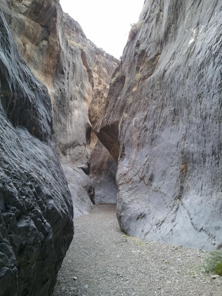
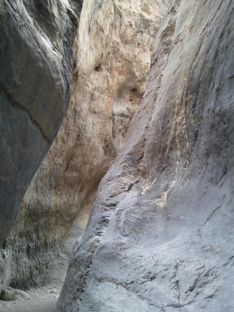
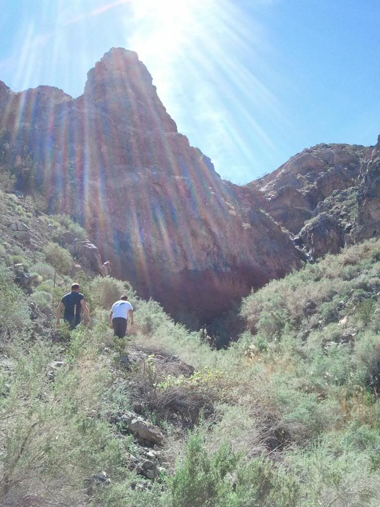
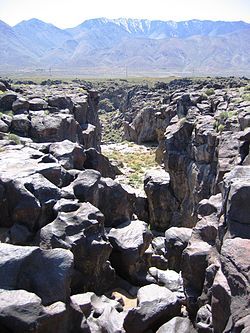
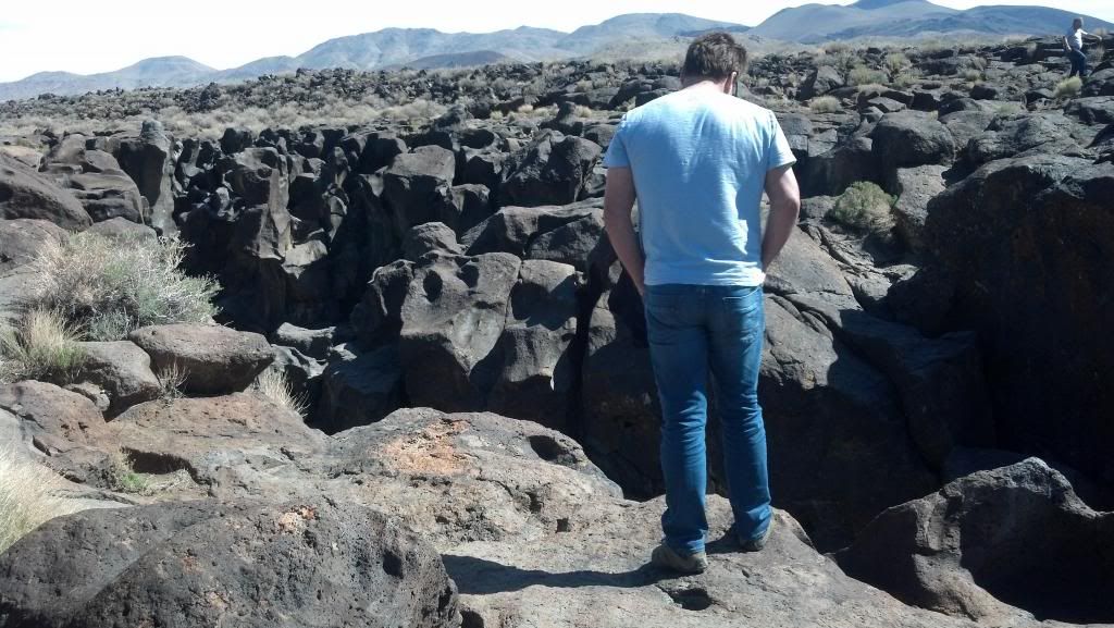
On the way up 395 toward Lone Pine, stopped off at Fossil Falls (part of the Coso range). Pretty cool volcanic rock and water carved formations.
Pretty cool explanation of how the area was formed: http://en.wikipedia.org/wiki/Fossil_Falls
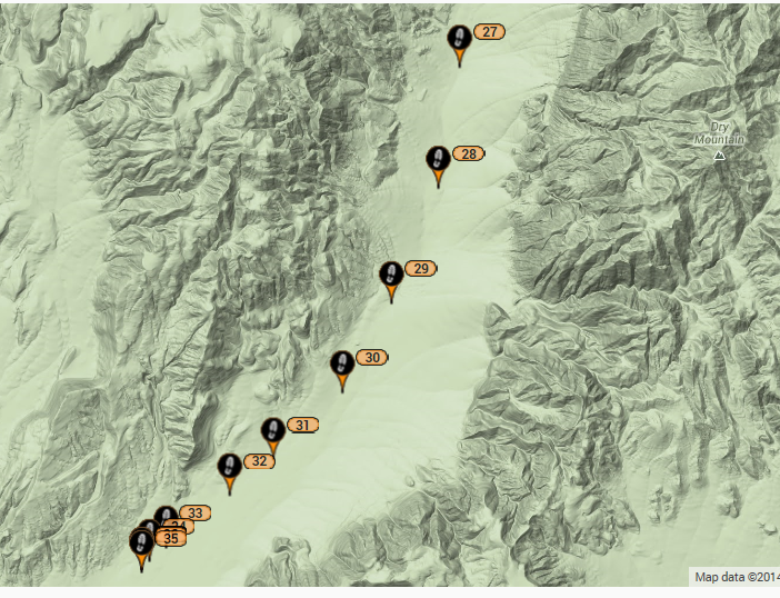
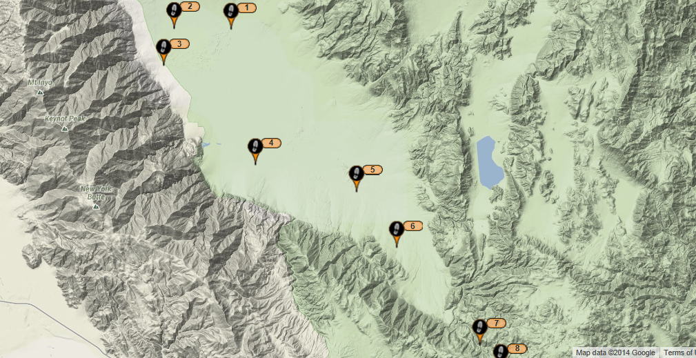
After a decent Mexican lunch in Lone Pine, we headed North to Independence to find out the proper road to get to Reward Mine or (Brown Monster as it was sometimes referred to). We would be starting off here on Friday but I wanted to make sure I knew how to get there. After driving across the 1940's built Manzanar Airport that supplied the internment camp that resided across the highway road, eventually turns to dirt.
Finding it was pretty easy as long as you went left at the fork, we would find out was right at the fork later.
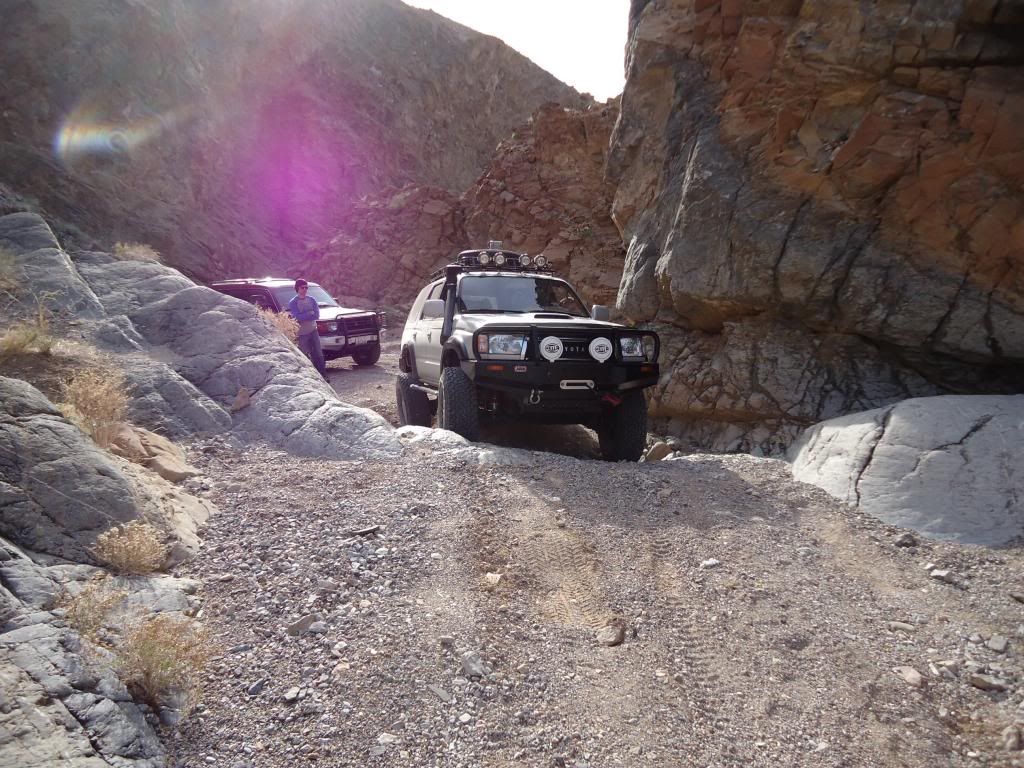
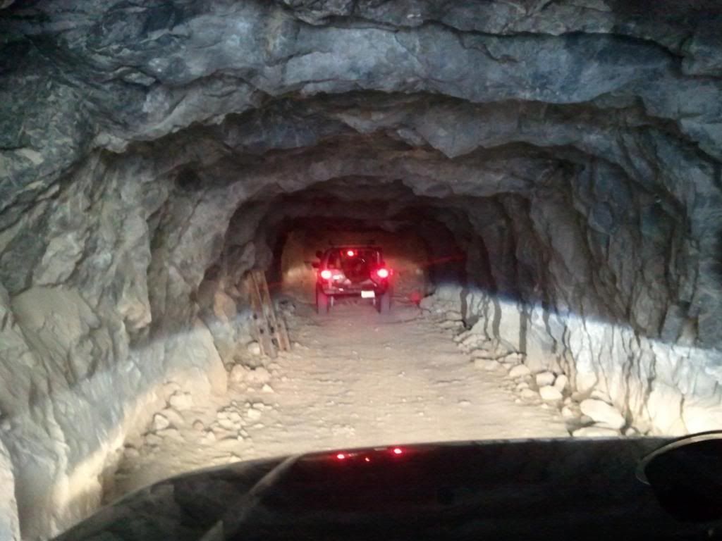
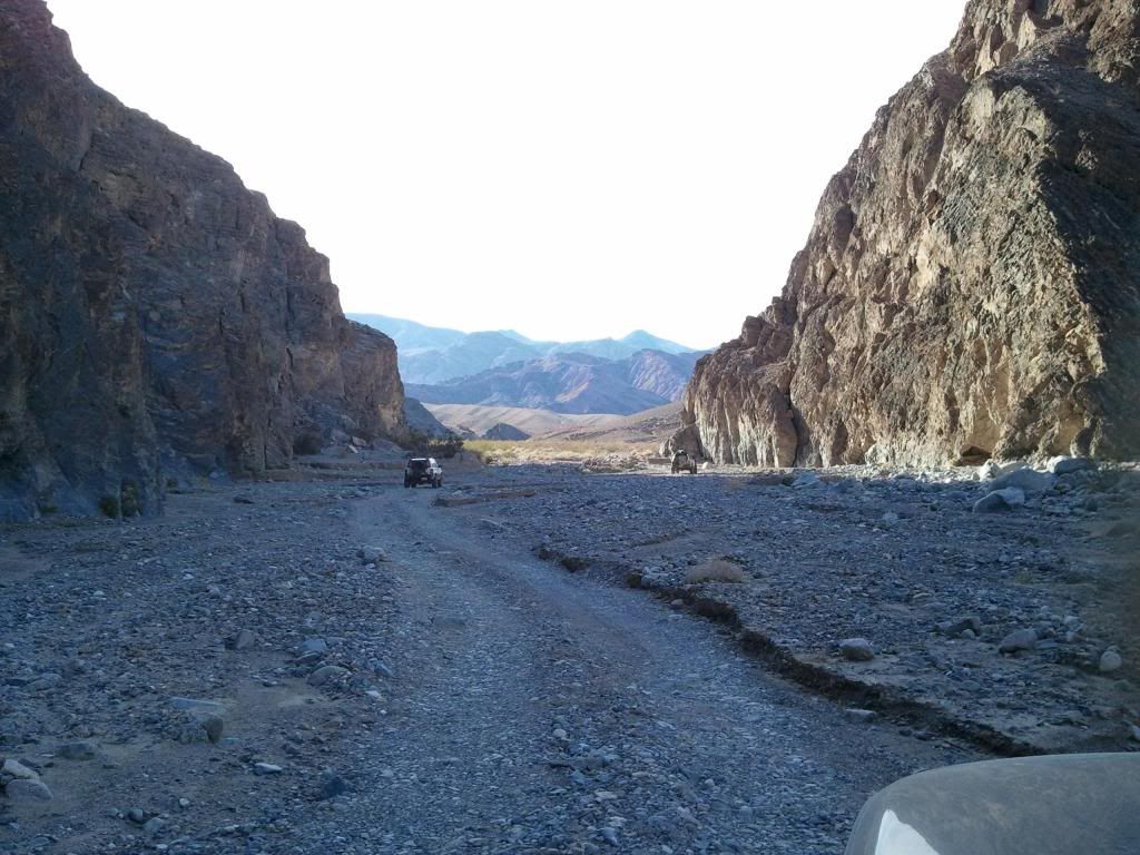
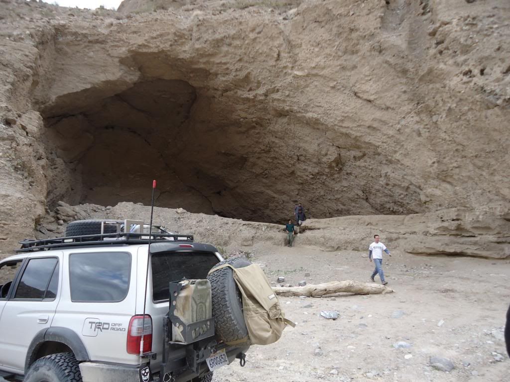
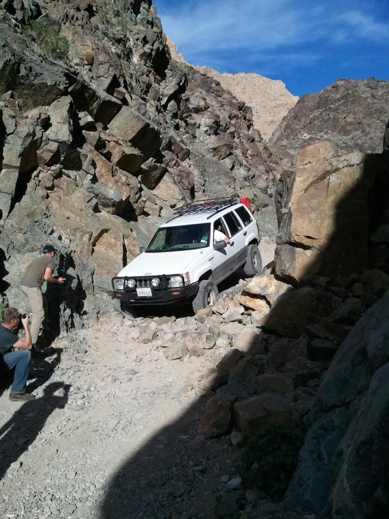
Tried driving into the Reward Mine, made it about 30 feet in before my roof mounted spare and jerry can required us to back out unload roof rack or just head in on foot.
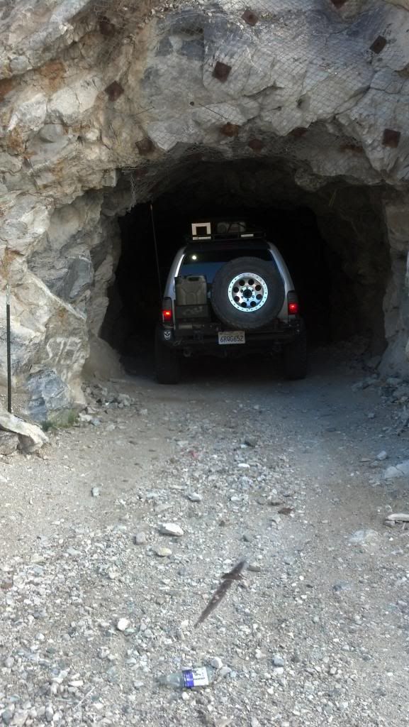
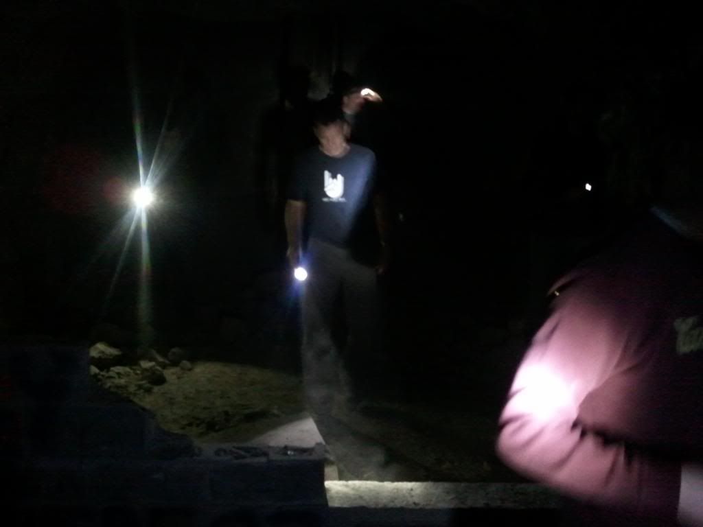
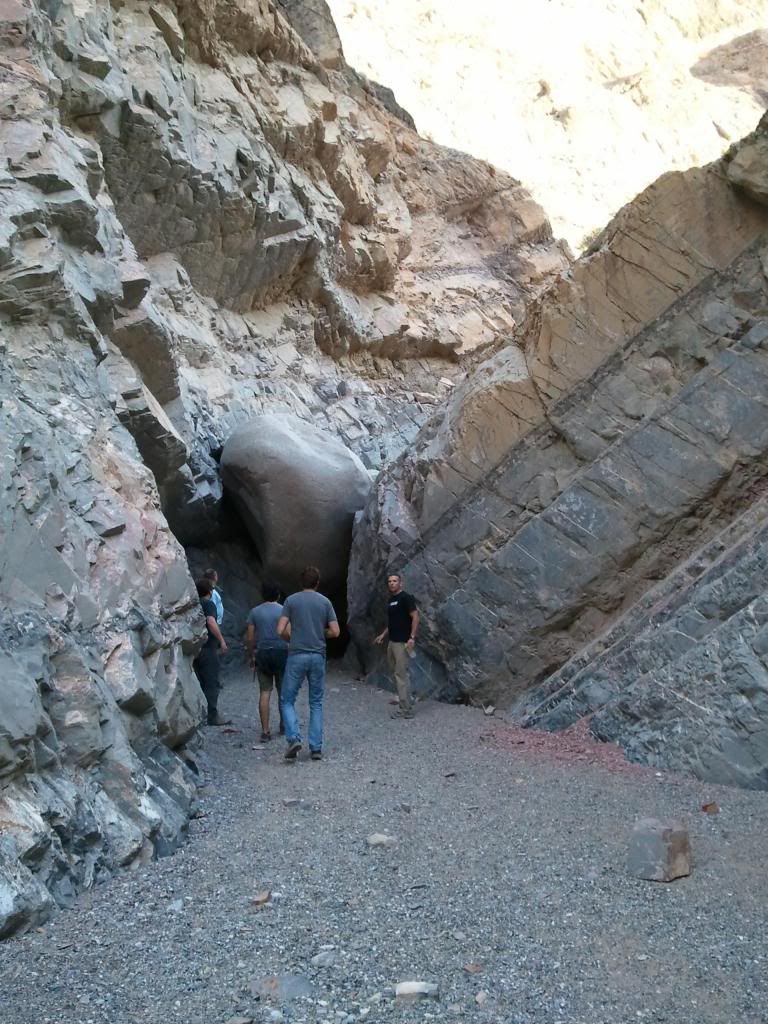
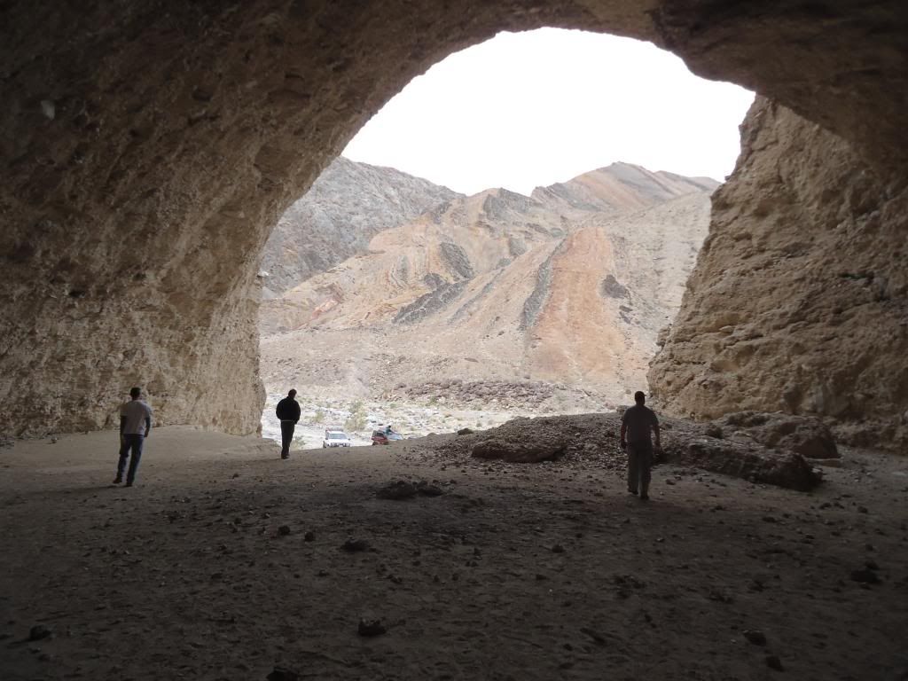
Figured we'd strip the offending items off the roof the next morning and drive in with everyone else. Walked into the mine flash lights in hand, all the way to the end including a number of smaller side tunnels pretty impressive. Lots of interesting work, ladders and potential hazards. Wouldn't mind going back with climbing gear and exploring the shafts.
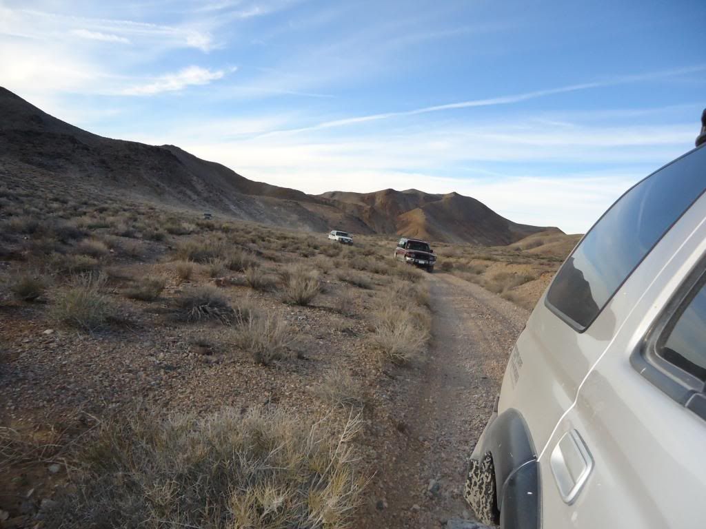
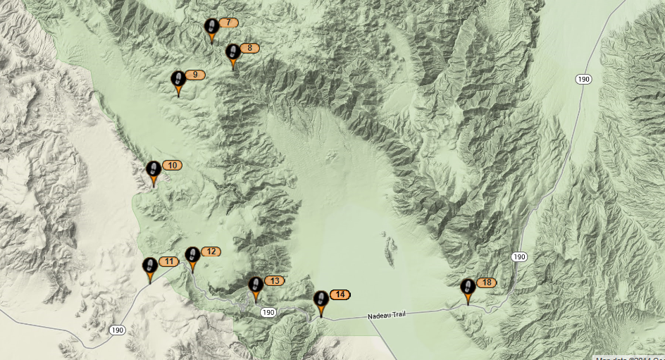
After hiking out of the mine we decided to drive back down and take the other fork that went to the right. At first I thought this was part of a mine known as the Eclipse, but looking online it seems to be part of Reward as well.
At any rate we drove up until the road which was really more of tailings pile at the top stopped our progress and backed down to a flat spot. Lured by the familiar "oh that doesn't look too far away" we took off hiking up the trail to the processing/sorting devices.
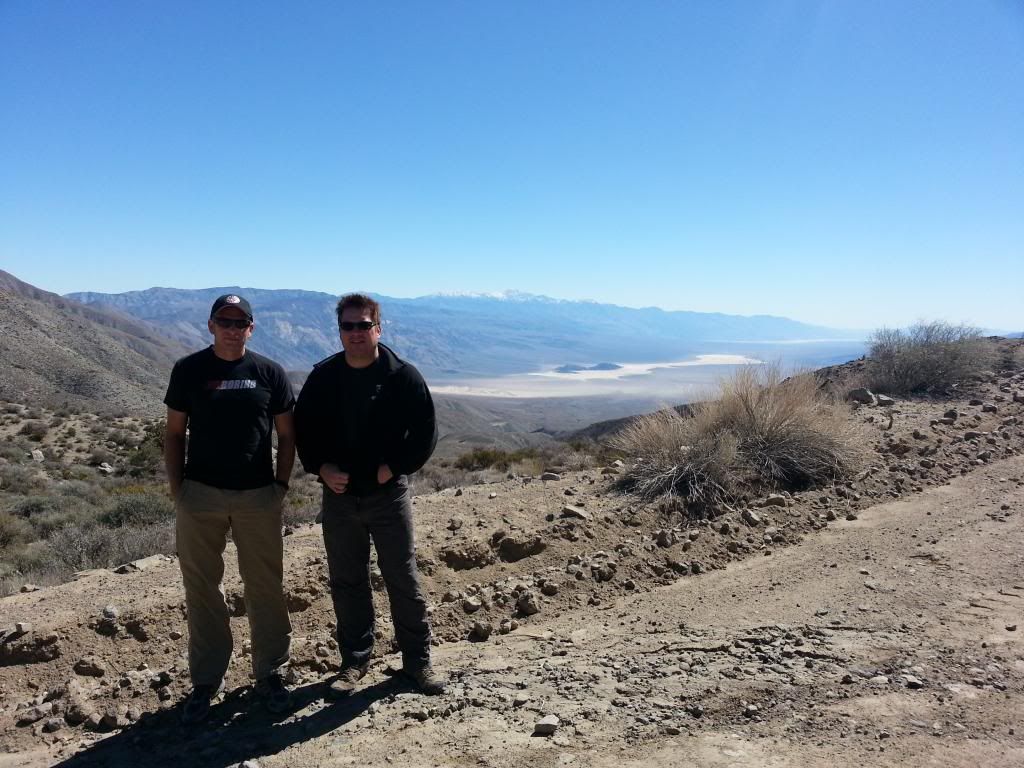
Standing on top of the sorter (but not as high as we went) took a picture to show how much elevation we gained. red circle is the 4runner
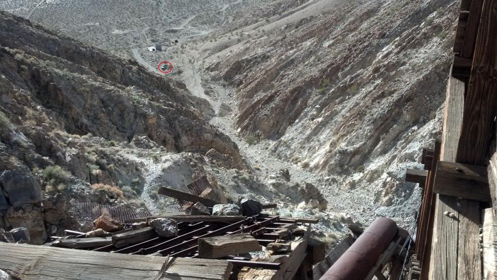
Mine sorting equipment
After this we headed back to Lone Pine to grab some pizza/beers and prepare for the next day.
Alright Nick, Philip and Patrick feel free to share photos and thoughts.
Josh
My buddy Chris and I drove down a day before the rest of the group was to meet up on Friday. I wanted to do a little recon and be rested for the start on Friday.
On the way up 395 toward Lone Pine, stopped off at Fossil Falls (part of the Coso range). Pretty cool volcanic rock and water carved formations.
Pretty cool explanation of how the area was formed: http://en.wikipedia.org/wiki/Fossil_Falls
After a decent Mexican lunch in Lone Pine, we headed North to Independence to find out the proper road to get to Reward Mine or (Brown Monster as it was sometimes referred to). We would be starting off here on Friday but I wanted to make sure I knew how to get there. After driving across the 1940's built Manzanar Airport that supplied the internment camp that resided across the highway road, eventually turns to dirt.
Finding it was pretty easy as long as you went left at the fork, we would find out was right at the fork later.
Tried driving into the Reward Mine, made it about 30 feet in before my roof mounted spare and jerry can required us to back out unload roof rack or just head in on foot.
Figured we'd strip the offending items off the roof the next morning and drive in with everyone else. Walked into the mine flash lights in hand, all the way to the end including a number of smaller side tunnels pretty impressive. Lots of interesting work, ladders and potential hazards. Wouldn't mind going back with climbing gear and exploring the shafts.
After hiking out of the mine we decided to drive back down and take the other fork that went to the right. At first I thought this was part of a mine known as the Eclipse, but looking online it seems to be part of Reward as well.
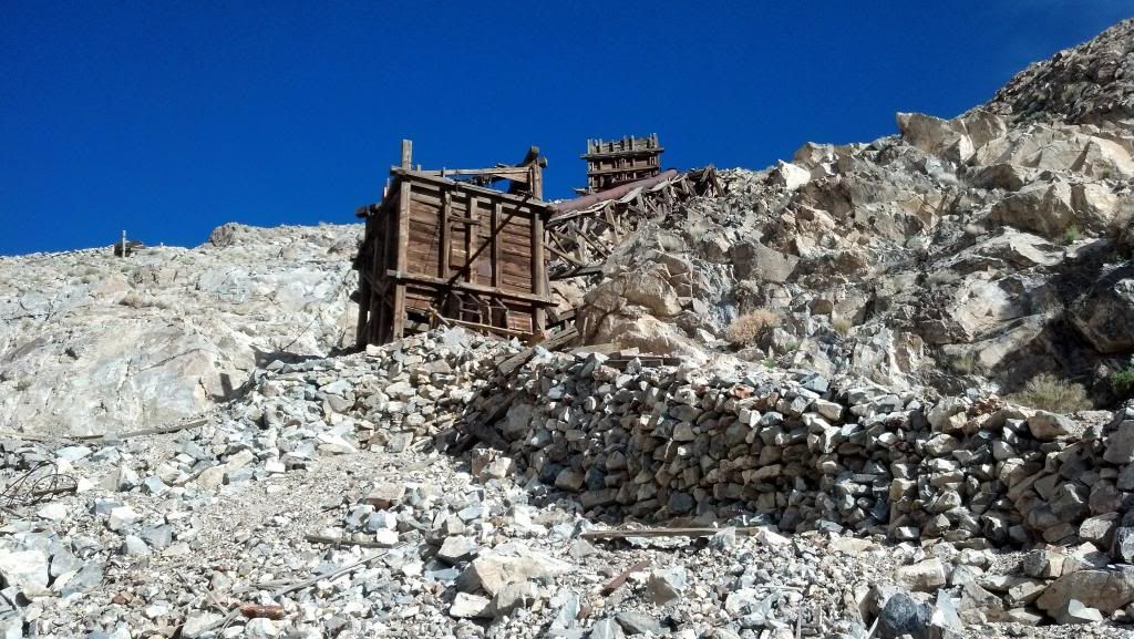
At any rate we drove up until the road which was really more of tailings pile at the top stopped our progress and backed down to a flat spot. Lured by the familiar "oh that doesn't look too far away" we took off hiking up the trail to the processing/sorting devices.
Standing on top of the sorter (but not as high as we went) took a picture to show how much elevation we gained. red circle is the 4runner
Mine sorting equipment
After this we headed back to Lone Pine to grab some pizza/beers and prepare for the next day.
Alright Nick, Philip and Patrick feel free to share photos and thoughts.
Josh
Last edited: