mav204
Observer
Expedition San Juan Mountains September 2021-Part 4-Imogene Pass
After Lunch in Telluride, we work out way out of town to Tommy Boy Road. You are just driving up a normal road, passing houses, the the payment turns to dirt and your on your way over the mountain.…
 blog.expeditionteamoverland.com
Expedition San Juan Mountains September 2021-Part 4-Imogene Pass
After Lunch in Telluride, we work out way out of town to Tommy Boy Road. You are just driving up a normal road, passing houses, the the payment turns to dirt and your on your way over the mountain.
Tommy Boy Road is a narrow dirt road, daily easy to drive. It’s narrow and 2-way traffic, so when you have to pass, just pull as far to the side. Downhill traffic has the right of way, so be kind.
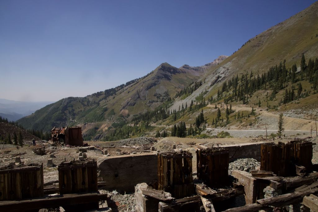
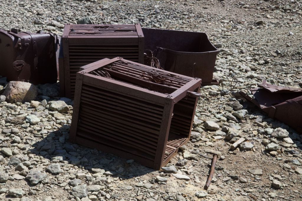
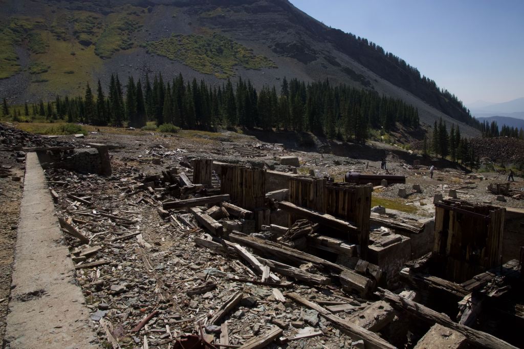
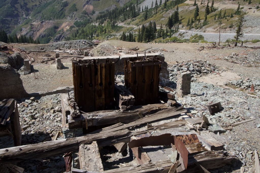
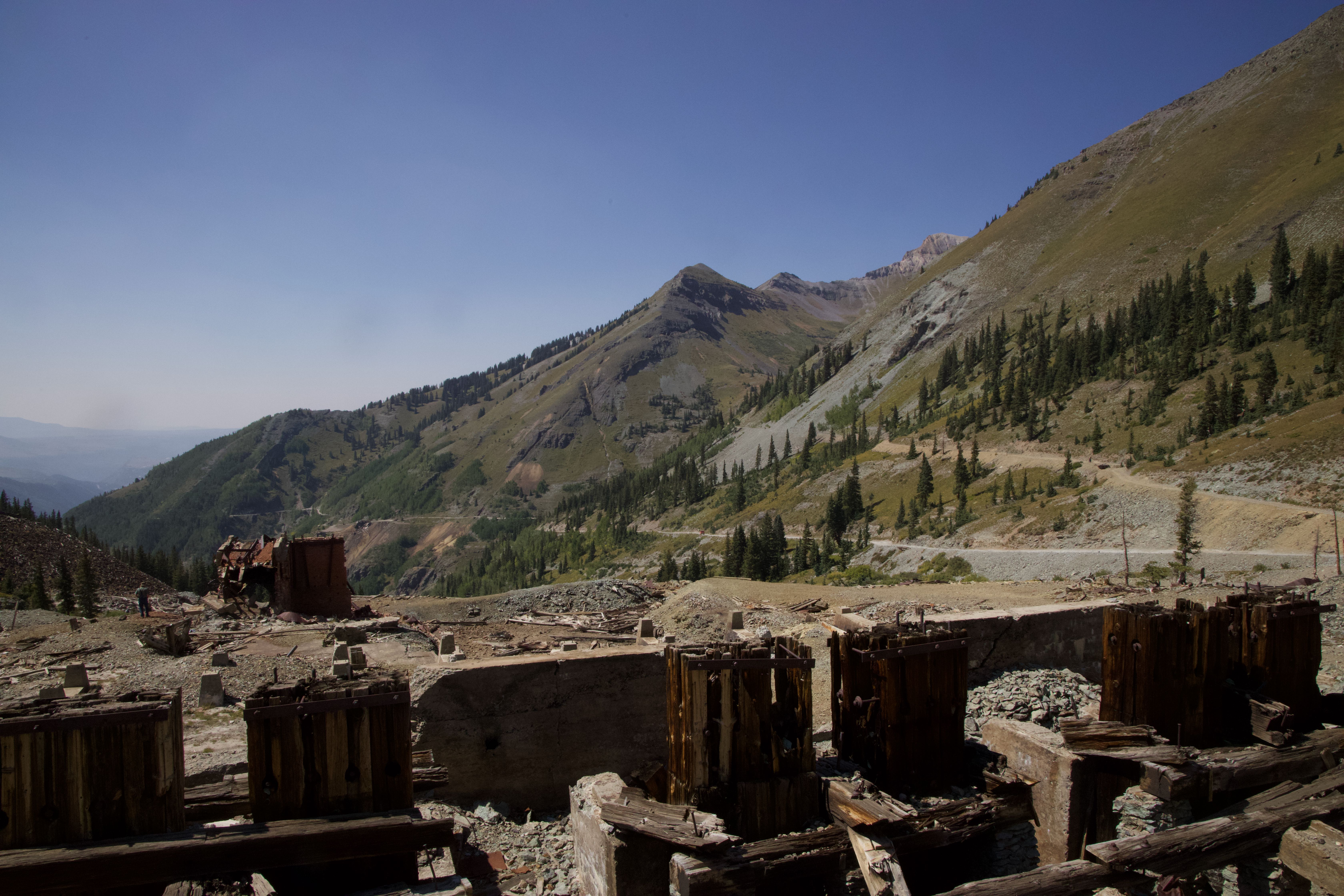
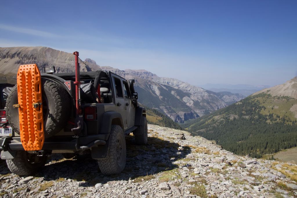
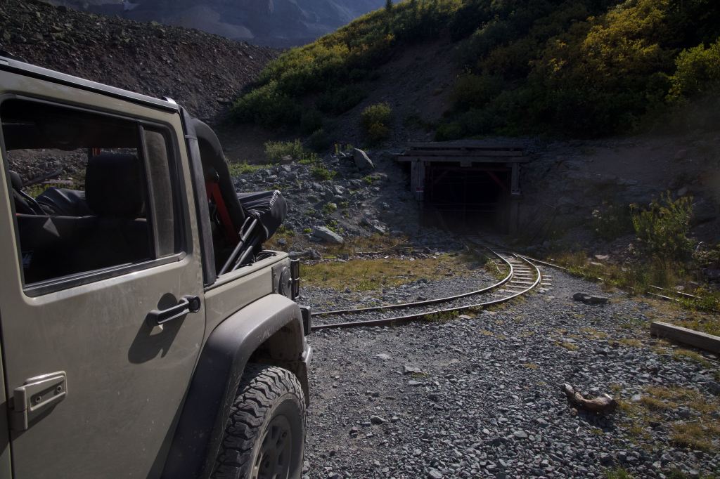
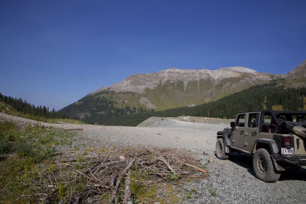
4.8 miles from Telluride, you arrive at Tommy Boy Mine. The mine has been destroyed by probable an avalanche, but the foundation and heavier machinery are still there. It is fun to imagine what this looked like when it was operational. Its a fairly large complex, and ample parking for alot of vehicles.
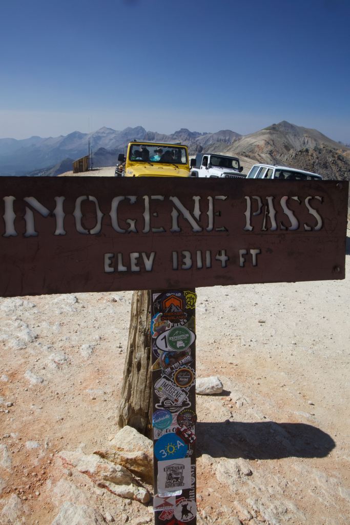
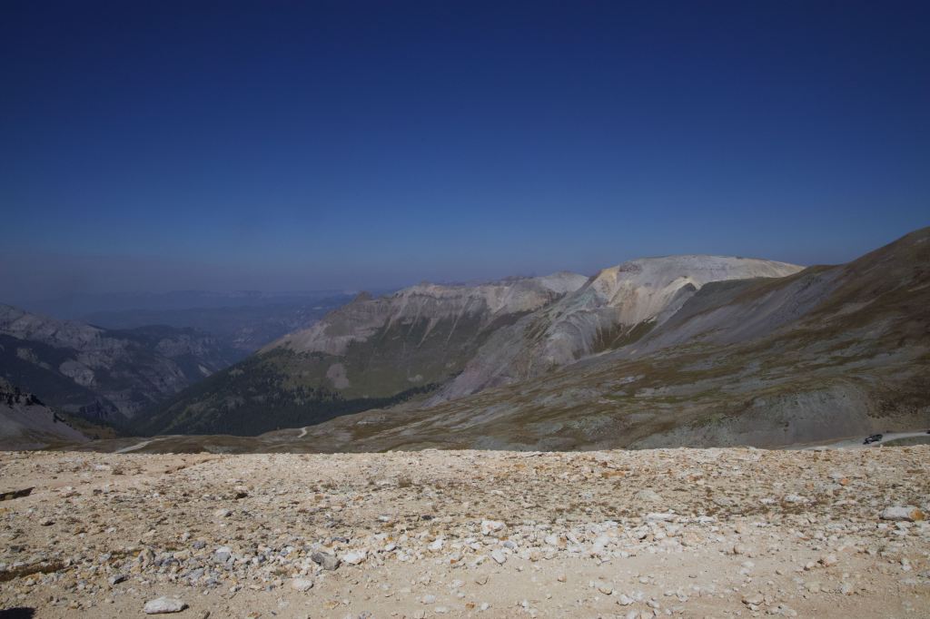
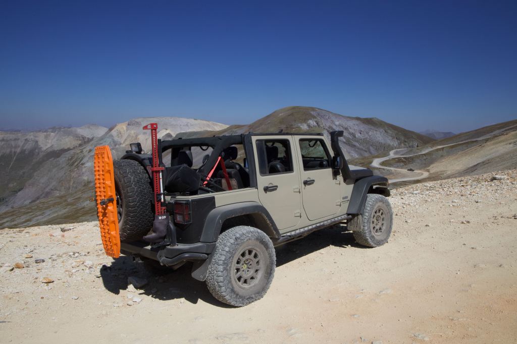
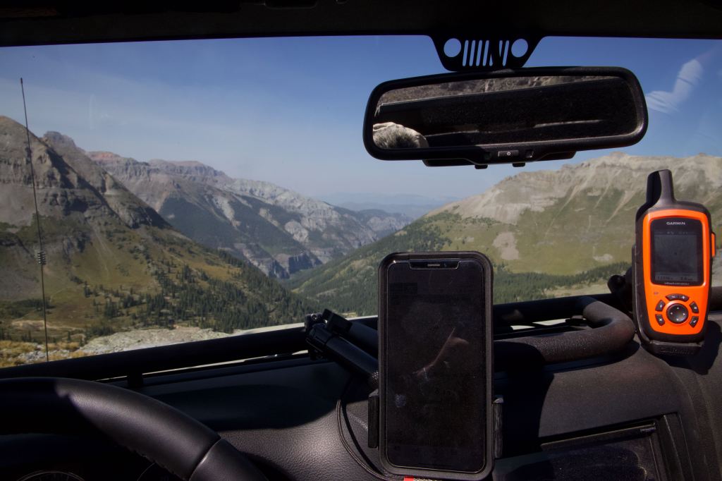
About 2 miles from the Tommy Boy Mine, you get to the summit of Imogene Pass. In 2015 I dint make it quite this far, but we started from the Ouray side. Below is the video from the 2015 trip. The summit was busy, but once again outstanding weather and unlimited visibility. We did have a corporate jet fly right over us, as it was on final approach to Telluride airport. The summit has 1 buildings looks to be a repeater for HAM/Amateur Radio. It was more windy than Engineer yesterday and Black Bear today, but it’s a fairly more exposed pass.
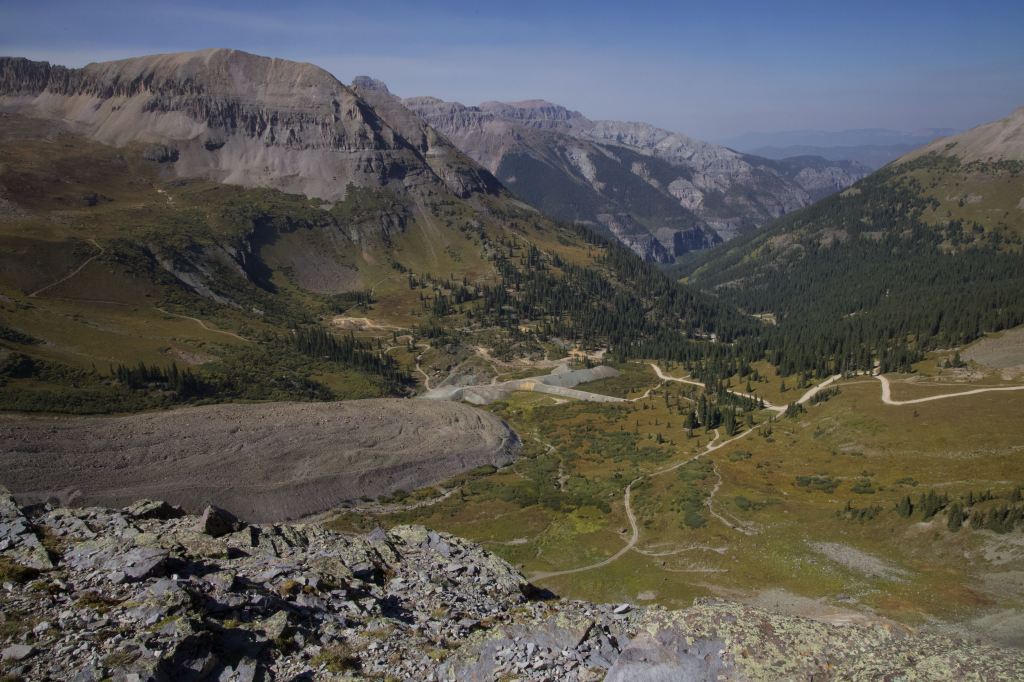
As we wok our way down to Upper Bird Mine, we have great views of the valley we are descending. We pass “Phot Rock”. Traversing down, the trail in section is very similar to the West side of Engineer, it’s a vary narrow trail with steep drop-offs. Lose rock is the challenge, and just take it slow.
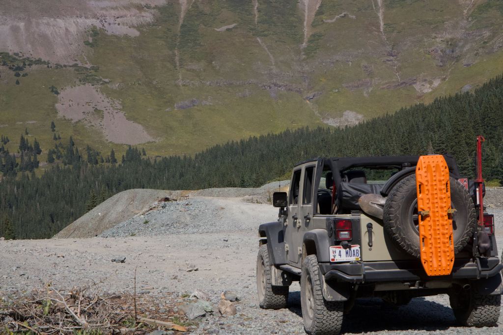
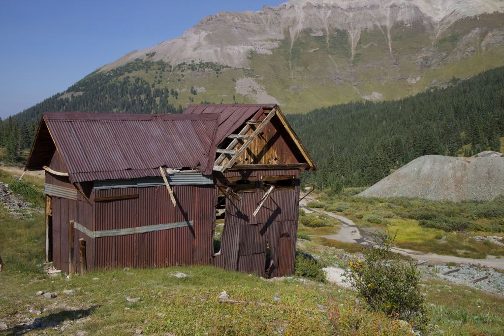
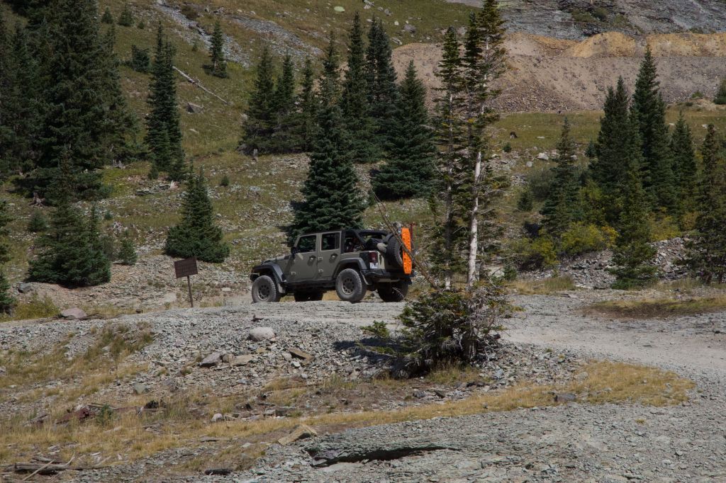
Upper bird mine is a really cool area. You can drive over the spoils of sth mine, it’s a fun drive, a little nerve racking as you have a steep “U” to traverse, with little no no forward visibility with the large hood of the Jeeps. There is not much history about this location, but looks like a large mining operation with a small settlement.
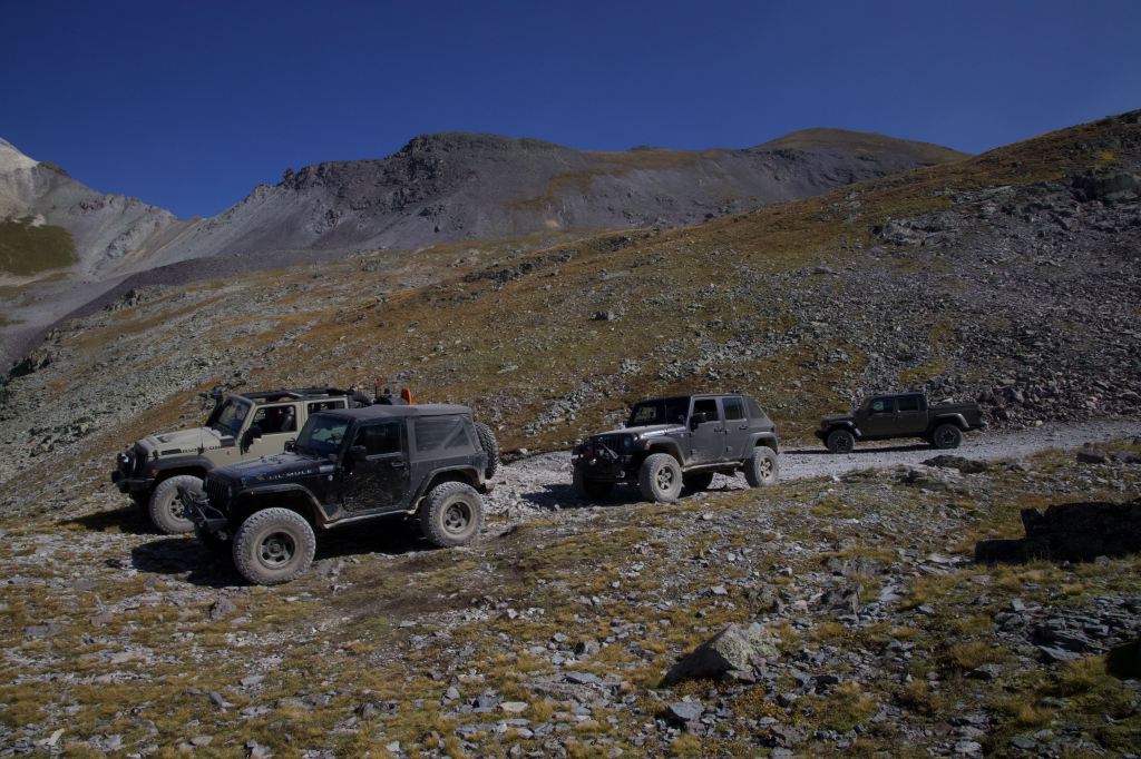
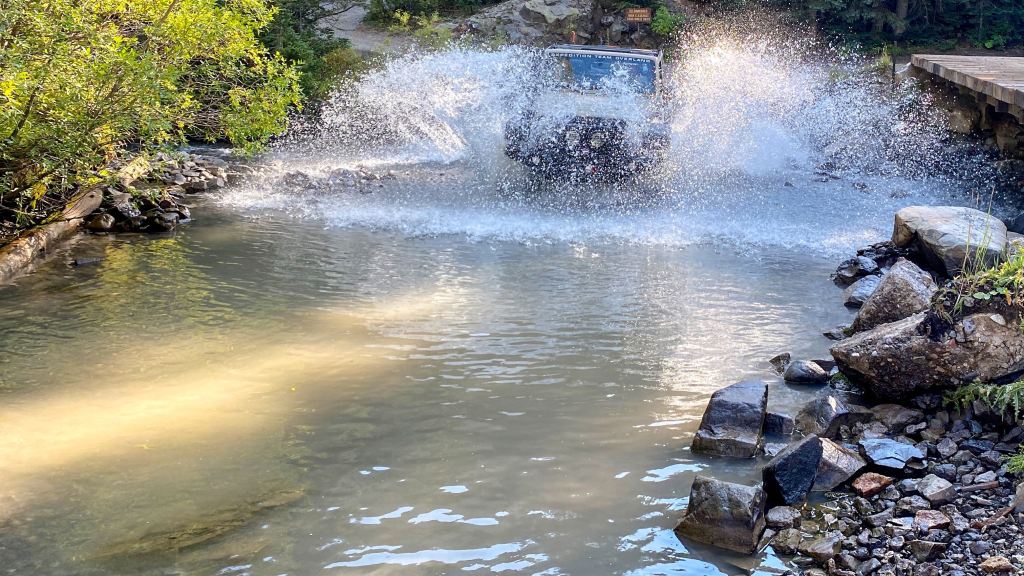
We work our way down. It’s once again a nice trail, you can go a bit “faster” then the entrance to Engineer. As you resent down your getting into the alpine trees and you lose the great views, also the valley gets tighter the lower you get, but you have great time. There is a stream crossing, with a well maintained bridge, but we all had to do the stream crossing and get some great video and phots of the crossing.
We continue off Imogene and onto Camp Bird Road. This s we ll maintained “Haul Road” for Lower Camp Bird Mine. Which is still in operation. This read is well groomed, and you might be “tricked” to take it at high speed, but it can have lose gravel, and sharp curves and it has some traffic, so take it slow.