paulj
Expedition Leader
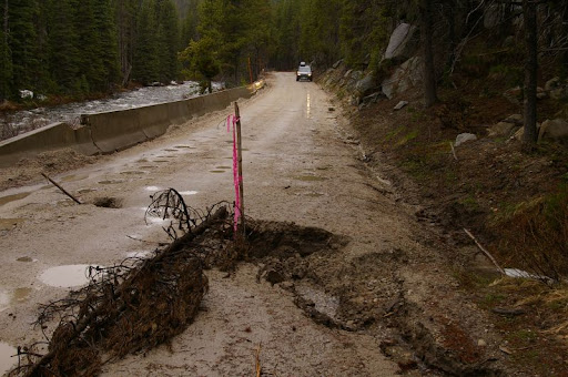
I just completed a two week camping vacation in Idaho and Washington. For various reasons I stuck mostly to paved routes, with just a few side trips on gravel. A number of potential routes were still blocked by snow. We even encountered fresh snow on two passes (Lost Trail US93, Loup Loup WA20). The weather was mostly cool, with thunderstorms and two day long rain spells.
I have outlined points and the route segments on google maps:
http://maps.google.com/maps/ms?ie=UTF8&hl=en&msa=0&msid=109142004519224621996.00044f82f39a09c7ea112&ll=45.390735,-115.202637&spn=3.217092,6.448975&t=p&z=7
and put a preliminary cut of photos on picasa:
http://picasaweb.google.com/ajipanca/Idaho?authkey=AQ6654N9uig
The basic route was across Washington to Lewiston, ID,
Grangeville to Elk City, Red River Hot Springs and back
US95 through White Bird, Riggins to New Meadows
McCall area, Warren Wagon Rd
55 to Banks, then east to Stanley, Challis and Salmon
US93 to Missoula, 200 to Sandpoint ID
Priest River and Priest Lake area
across N Washington to Twisp and North Cascades
Last edited: