mav204
Observer
Mid-Atlantic Back Country Discovery Route-Pennsylvania
The Mid-Atlantic Back Country Discovery Route (MABDR) is a 1,080 mile route, that starts in Damascus Virginia, and ends in Lawrenceville, Pennsylvania. The Back Country Discovery Routes organ…
 blog.expeditionteamoverland.com
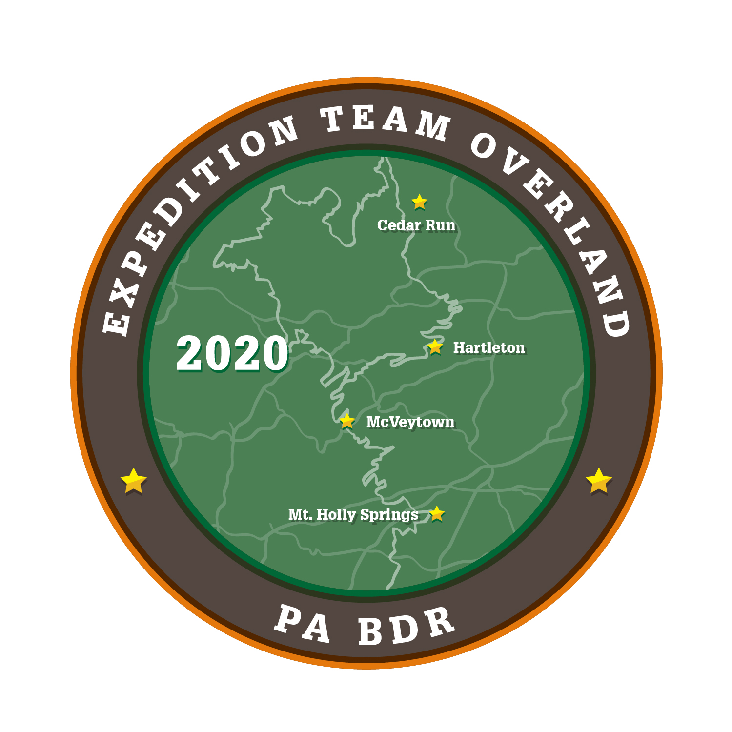
Mid-Atlantic Back Country Discovery Route-Pennsylvania
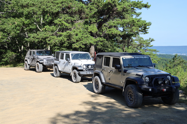
The Mid-Atlantic Back Country Discovery Route (MABDR) is a 1,080 mile route, that starts in Damascus Virginia, and ends in Lawrenceville, Pennsylvania. The Back Country Discovery Routes organization had taken the route and divided it into 9 sections. My compadres and I decided to trek sections 6, 7, and 8 – a two day expedition beginning at the Pennsylvania Turnpike just east of the Kittatinny and Blue Mountain Tunnels, exiting at Blue Mountain interchange, Exit 201. From there we started the route north toward Interstate I-80, traveling a south-north route through the Alleghany Mountains of Pennsylvania.
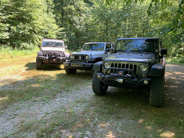
I was joined by Dee, TJ, TJ’s two sons. It’s a good idea to divide responsibilities so everyone has a job and, therefore, we all know what to expect from each other. Dee, camp fire. TJ, photography. TJ’s youngest so and I, cooking.
The MABDR travels though a number of Pennsylvania State Forests. Within these State Forests are many camp locations. You have to call each individual State Forest Office to reserve a spot. Reservations and permits are required, but they are free. I worked with the Ruthrock and Bald Eagle State Forest District Offices to find campsites; they were very helpful and patient as many sites were already reserved, and finding ones along our route was a process. I was using my Gaia GPS on my desktop and the State Forest maps to find the best campsites that were near our route and we found what would be two great ones!
Day One was going to be a short day as we had an early start and long highway drive from Northeast Ohio (5 1/2 hours of driving covering over 100 miles). Along the route we passed a lot of timber clearing and we were able to stop and pick up some fire wood from these sites. One thing we did notice was the lack of availability of fire wood (we noticed only 1 or 2 locations along the entire route to buy wood).
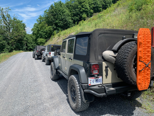
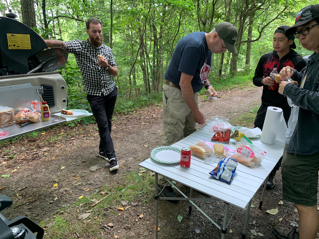
All day we passed through many small towns and countless ridge line roads with outstanding views of the valleys and Pennsylvania county side. The first night was at a late campsite, many vehicles and tents would easily fit. Dinner was steak fajitas. It was an easy night for all, as we had an early morning and long drive.
Day 2 started off with not a hitch. We got to the Penn View Overlook, it was a great spot to stop and take in the great views. We also had cell coverage there so we can make some phone calls and post to social media. Just past Penn View, coming down Slide Mountain was a not a challenging section, but we had to take at a much slower pace. The trail was rutted out from winter washout and heavy spring rain. We passed a pair of motorcycles and chatted about trail conditions.
After coming down the knob, we entered into Poe Paddy State Park. This was a beautiful campground that had showers and clean bathrooms. We were able to dispose of our trash in the bear-proof dumpsters and stretch our legs.
On the BDR website you can download GPS files, these files have the tracks and waypoints for gas and food. In sections 7 and 8 there are two areas that were marked “expert”, however for Jeeps these were not difficult. The difficult part in section 7 was some overgrowth that we had to trim to get our Jeeps through.
The difficult part of section 8 was not difficult for Jeeps either. It was a wide trail that had tracks that were wide enough for a Jeep to fit down. In the beginning there was a few off-camber sections, but nothing very technical.
The difficult section ends at a junction of 5 fire roads, our camp for the night was just off the junction. This campsite was just south of Interstate I-80 and an exit for it where we would get on the road next the morning for the drive home. The campsite was on a busy road, and during the evening it was quite busy with Jeep traffic, pickup trucks, 4-wheelers and side-by-sides. The campsite, again, was very large and able to fit many vehicles and tents. It has a fire ring and table that we were able to back the Jeeps up to to make dinner.
All the campsite that we reserved with the Pennsylvania Forest Service were clean, had picnic tables and fire rings. We were very happy that these were available, as it was a busy weekend and I spent some time working with each Forest Service Office to find campsites along our route. Making reservations are required and you need to have a free permit to camp.
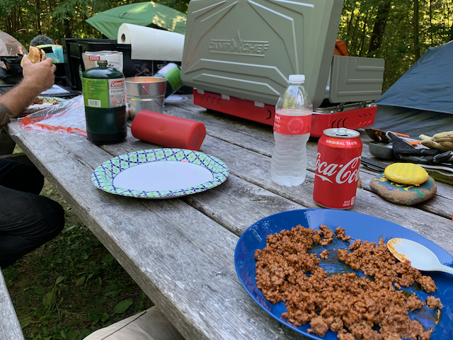
Dinner that night tonight was chicken, potatoes, and cheese cooked in tin foil over the camp fire. It was a beautiful clear night with little to no light pollution, so I attempted but failed at getting the famous star camp photos. There’s always next time!
Make sure to check Youtube for 3 videos on this trip, they will be online in November 2020
https://www.expeditionteamoverland.com/Mid-Atlantic-BDR-PA-July-2020