teddyearp
Adventurer
I know I'm an unknown person here and my pictures aren't always as good as some of the others, but at least they're all posted in this thread instead of an outside link, lol.
So for what it's worth I will post a full on report of my trip from WA to AZ and back again, from Apr 30 - May 15, 2012. I posted a few reports over at virtualjeepclub.com for some of the individual side trips, but I guess for the other sites where I will post this I will combine all of it here, hope you enjoy.
It took a bit of planning so I could arrive at certain places at the right time of day with enough time to find a place to camp for the longest legs of the trip. With that said, my first day was leaving work 'early' on April 30, 2012, around 1PM so I could get to Ontario, OR. Nowhere to camp that's nice near there, so I booked a room in advance at the Stockman's Motel via booking.com. As a side note, that motel sucked, I left a bad review for it at booking.com. I had had a better hotel with more amenities in Israel in Tiberias for about the same $$$. And Israel is supposed to cost more. Check my review at booking.com
The next day May 1, 2012, I pushed on. While I was passing through Boise, ID, I stopped to see if I could get a good falafel (for some reason I was/am craving a falafel like I got in the middle east last Oct 2011). Anyways, my nav made me go right to the downtown canyons in Boise to a franchise place called "Pita Pit". But the falafel was the pits. Not only that, while I was going back to the freeway, I saw another Pita Pit a lot closer to the freeway, what a bummer. I could have found out how much their falafel sucked alot sooner, but that's just my personal falafel experience.
But my destination for this day was to camp outside of Payson, UT at or near Maple Lake.
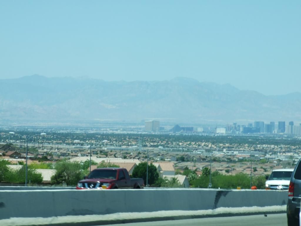
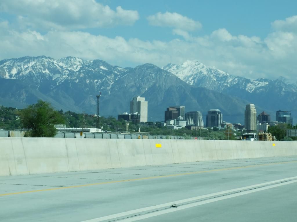
Here's a quick pic of Salt Lake City as I was passing through on the interstate:
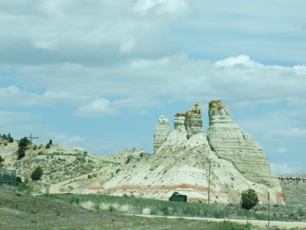
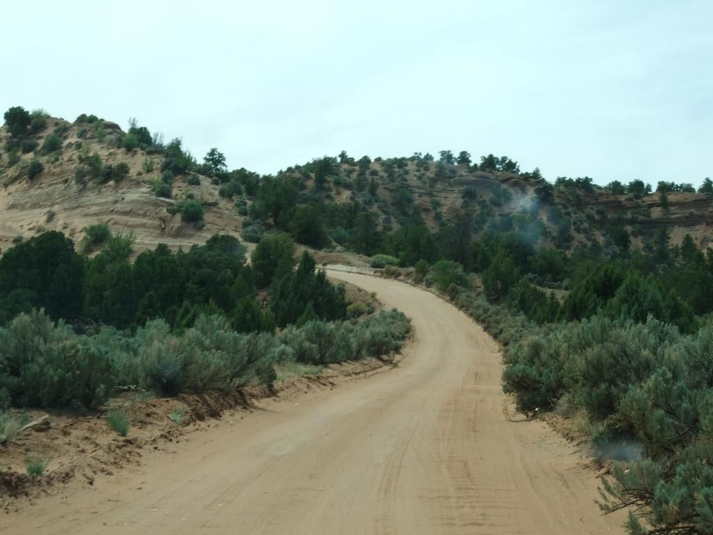
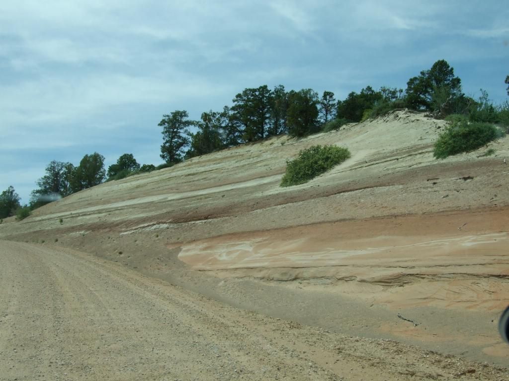
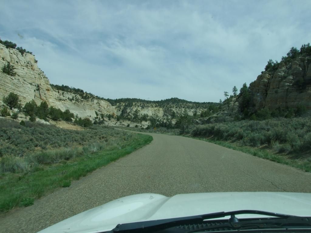
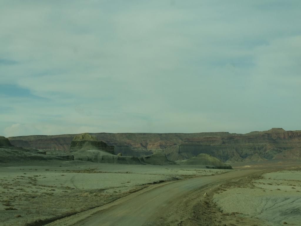
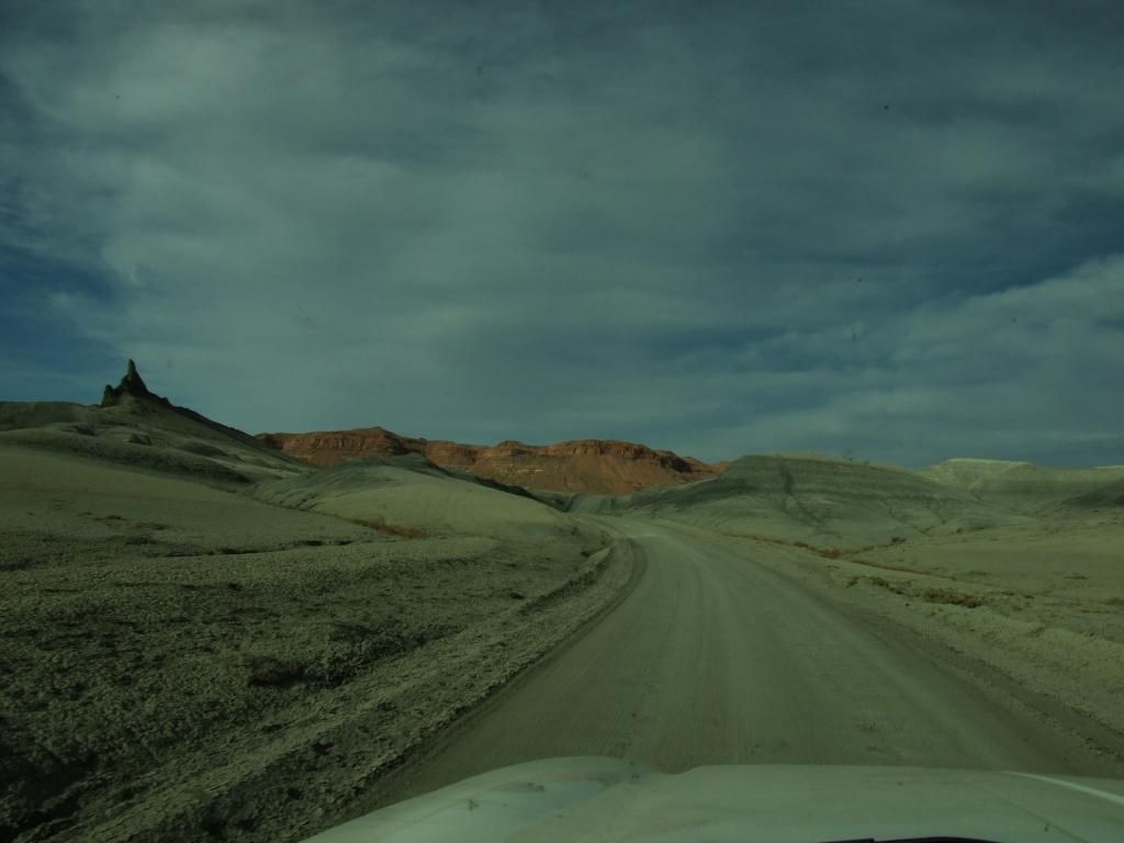
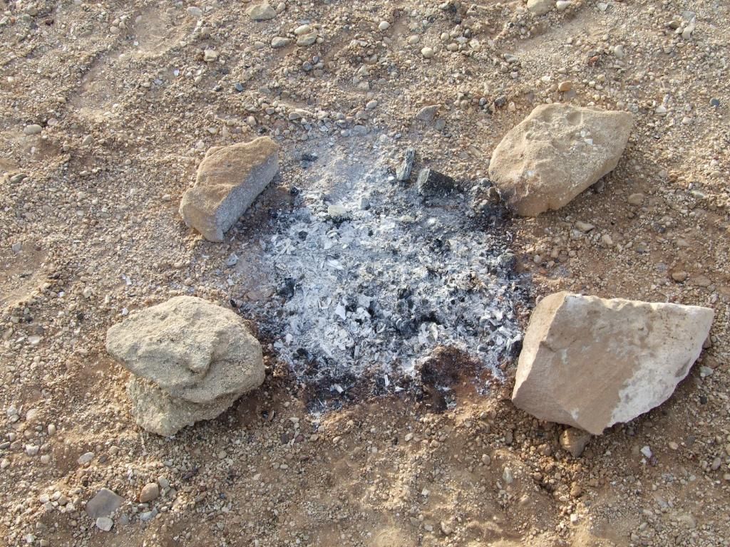
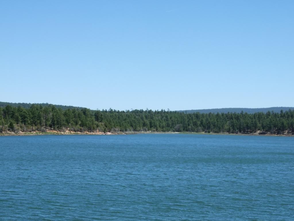
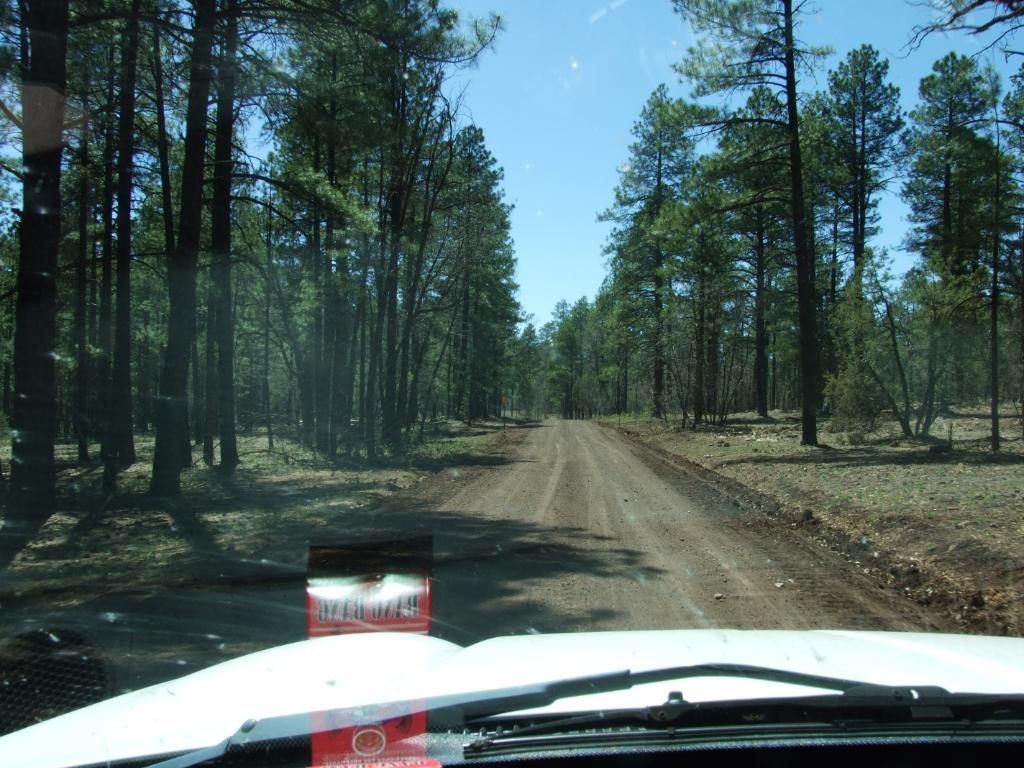
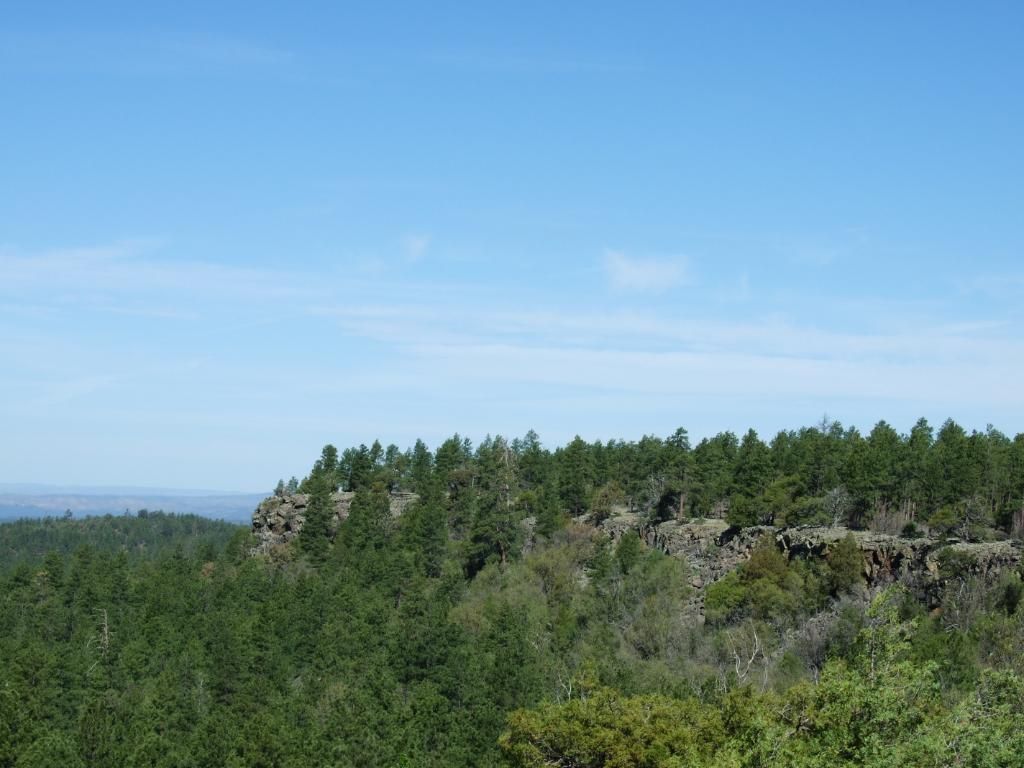
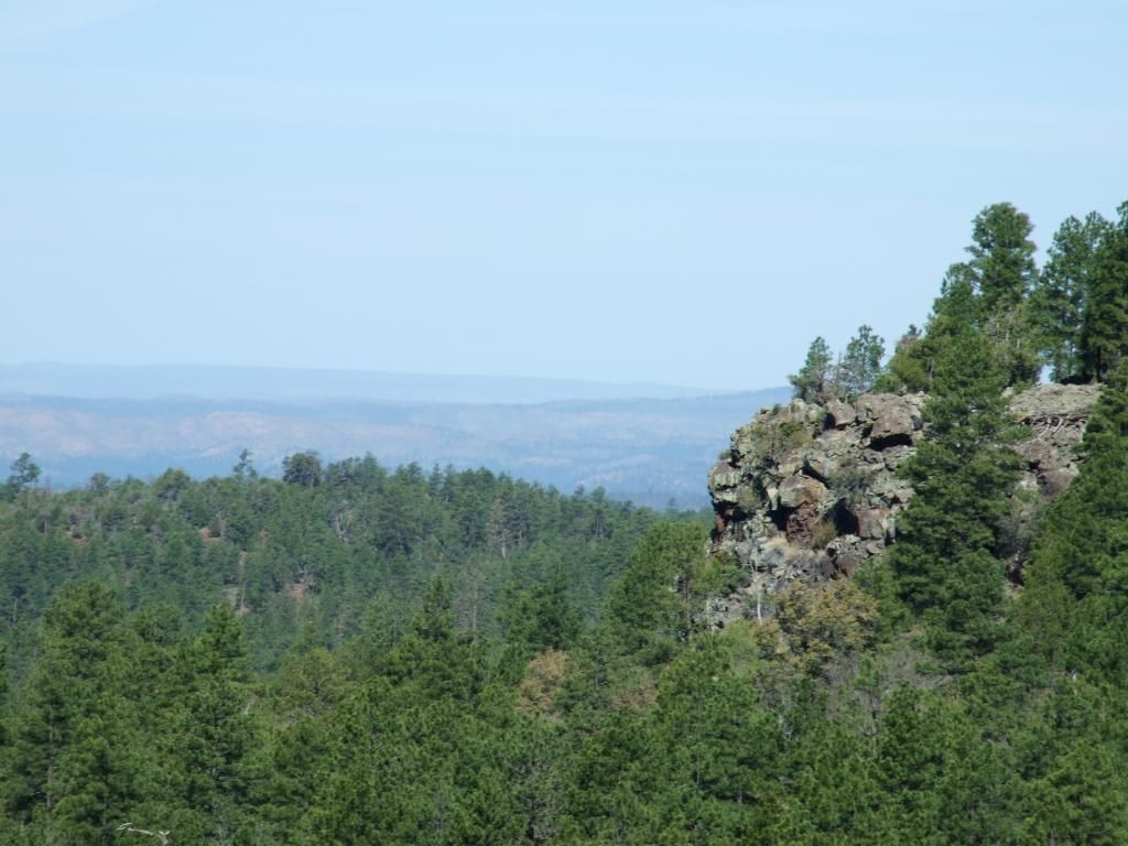
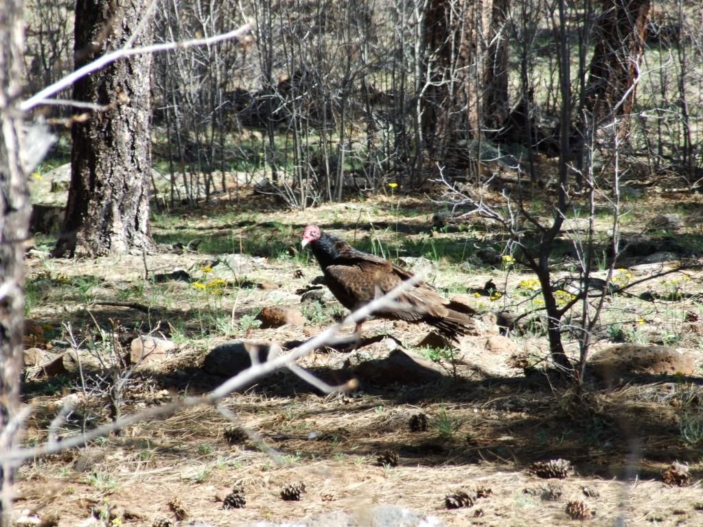
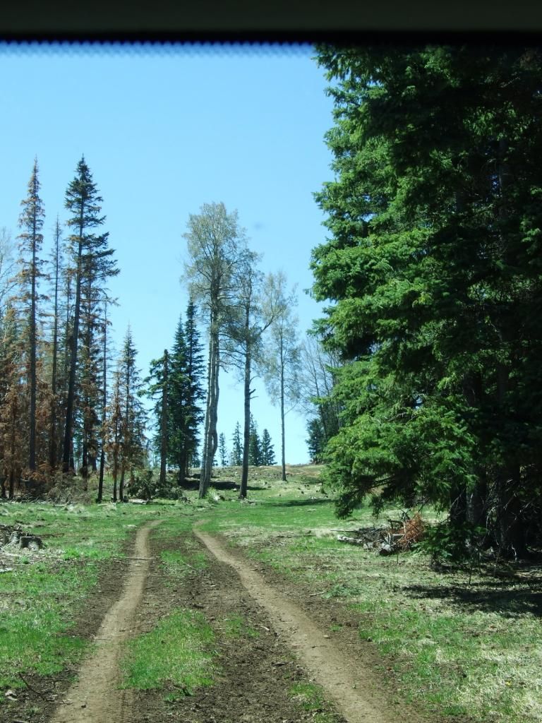
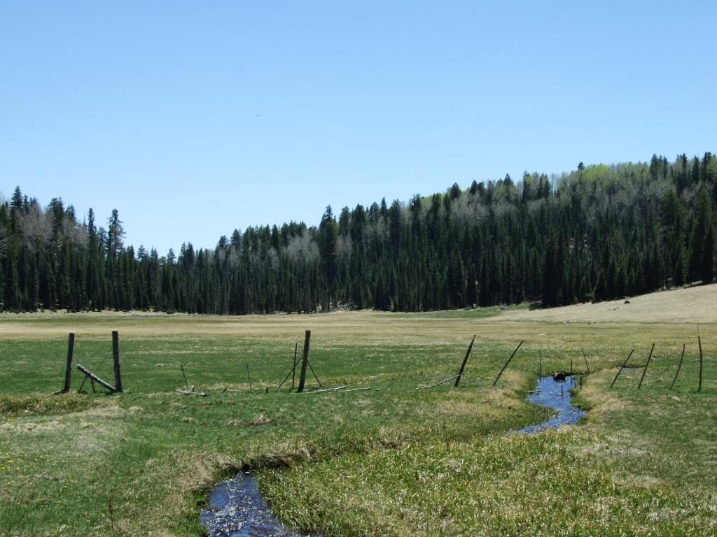
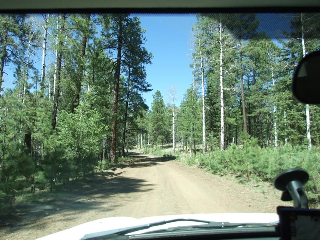
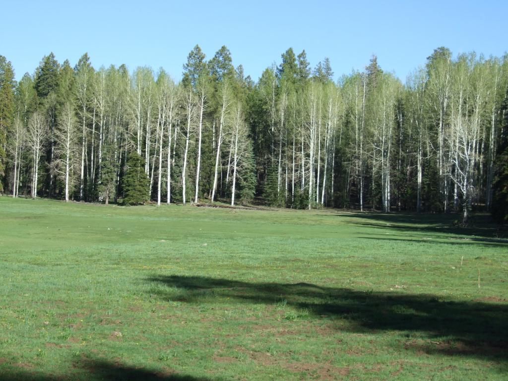
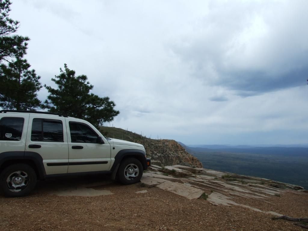
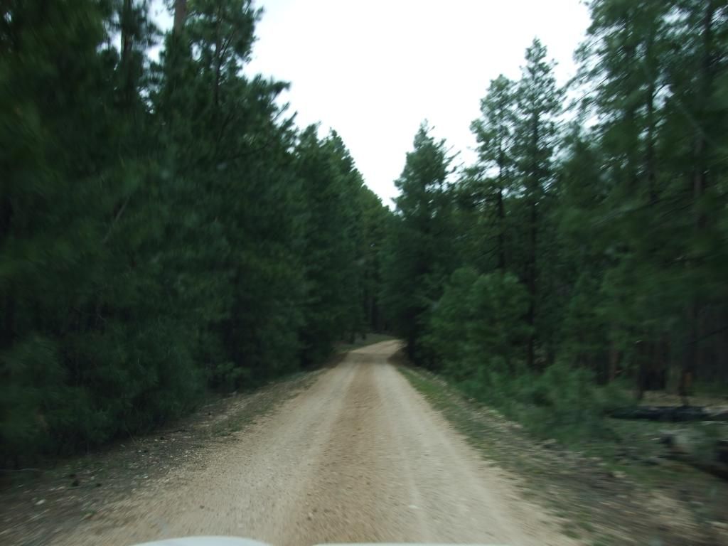
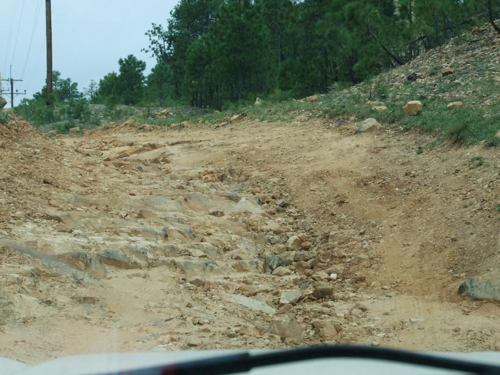
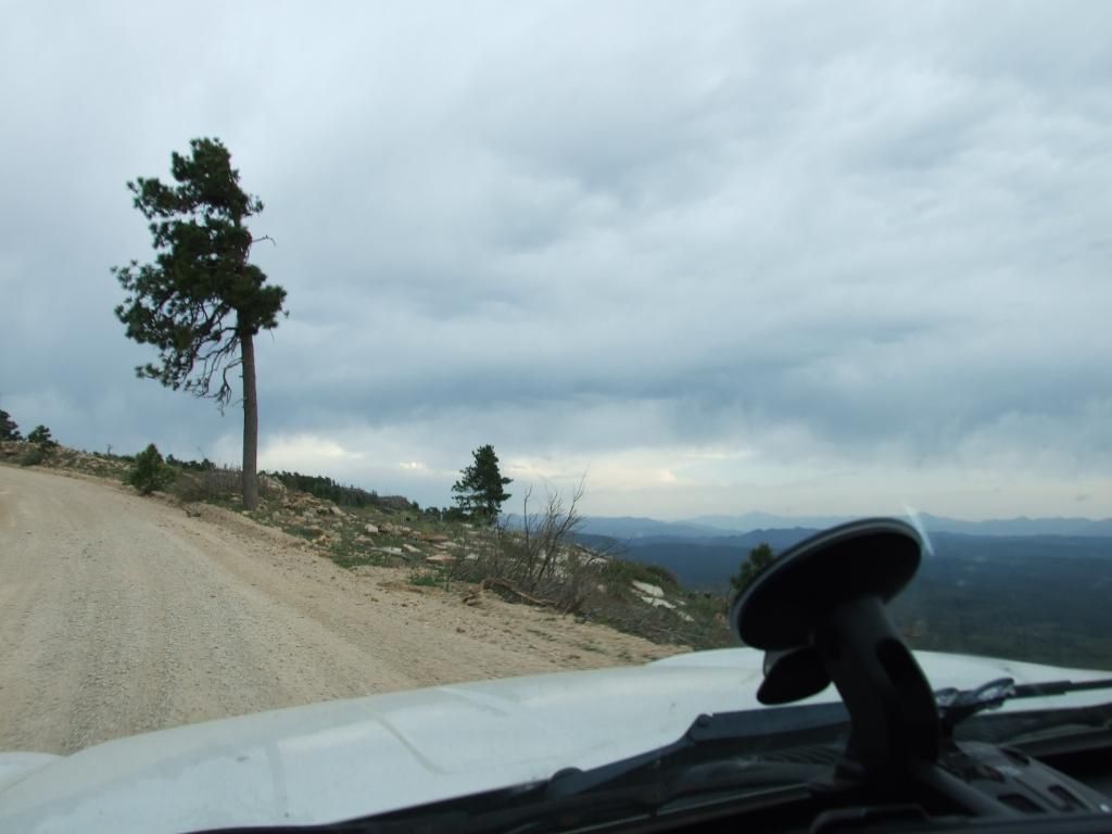
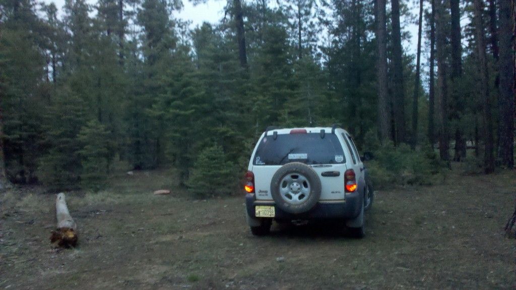
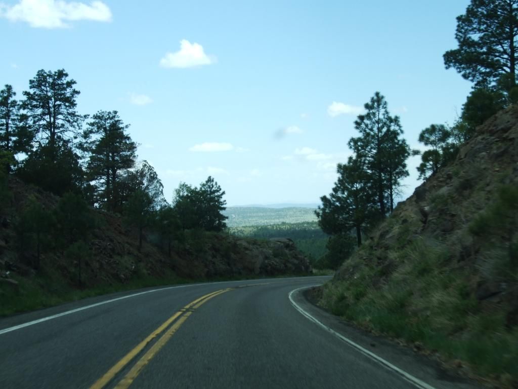
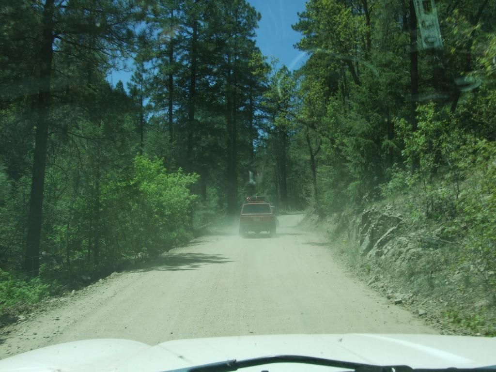
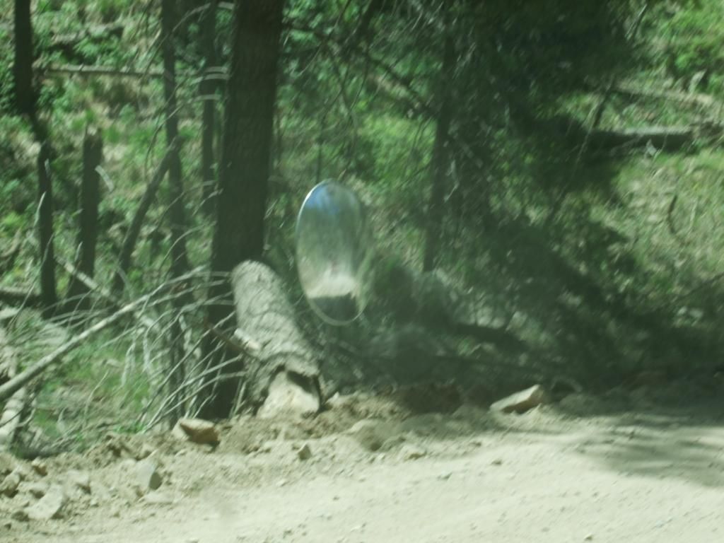
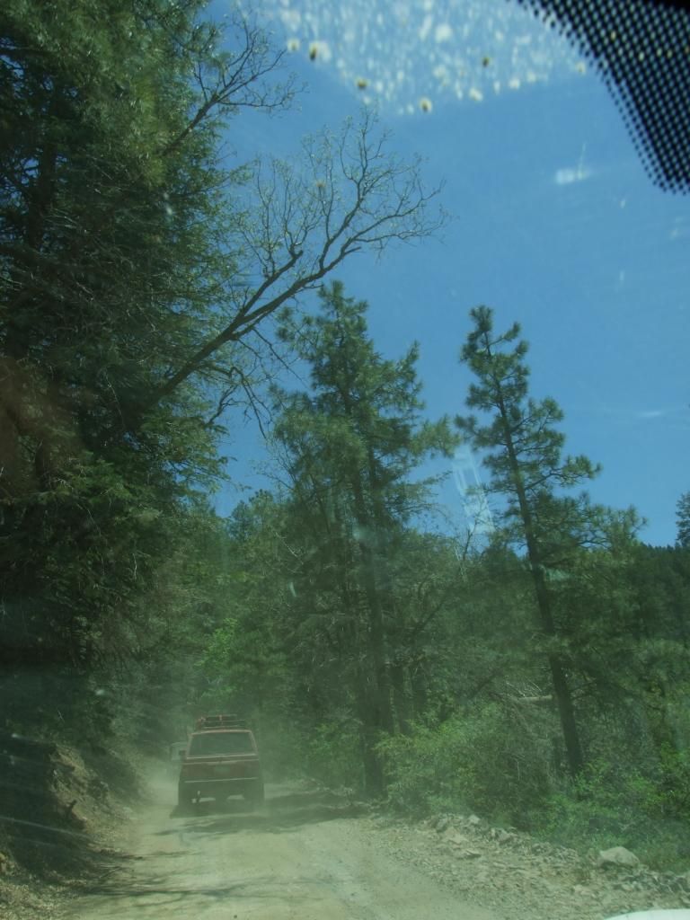
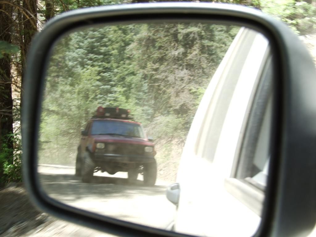
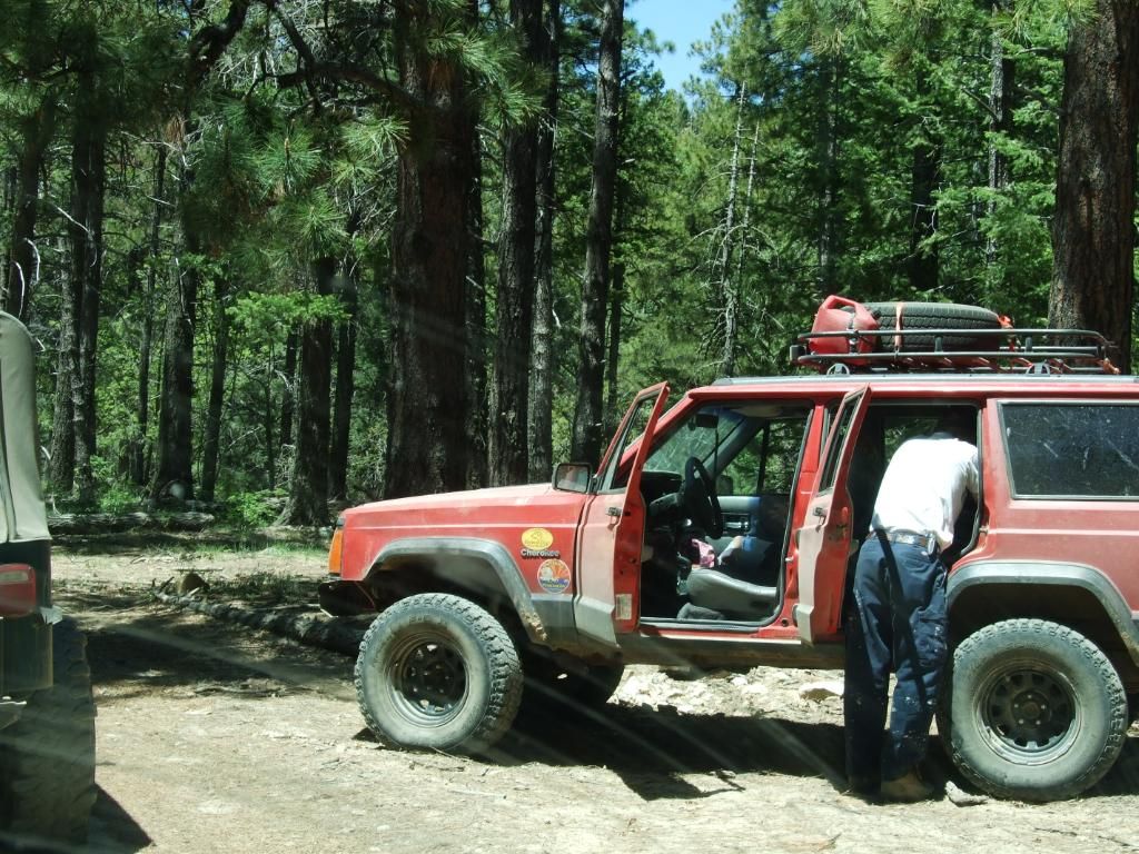
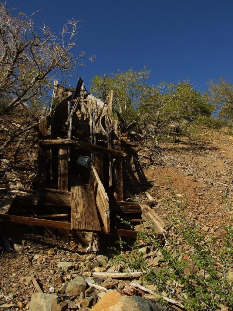
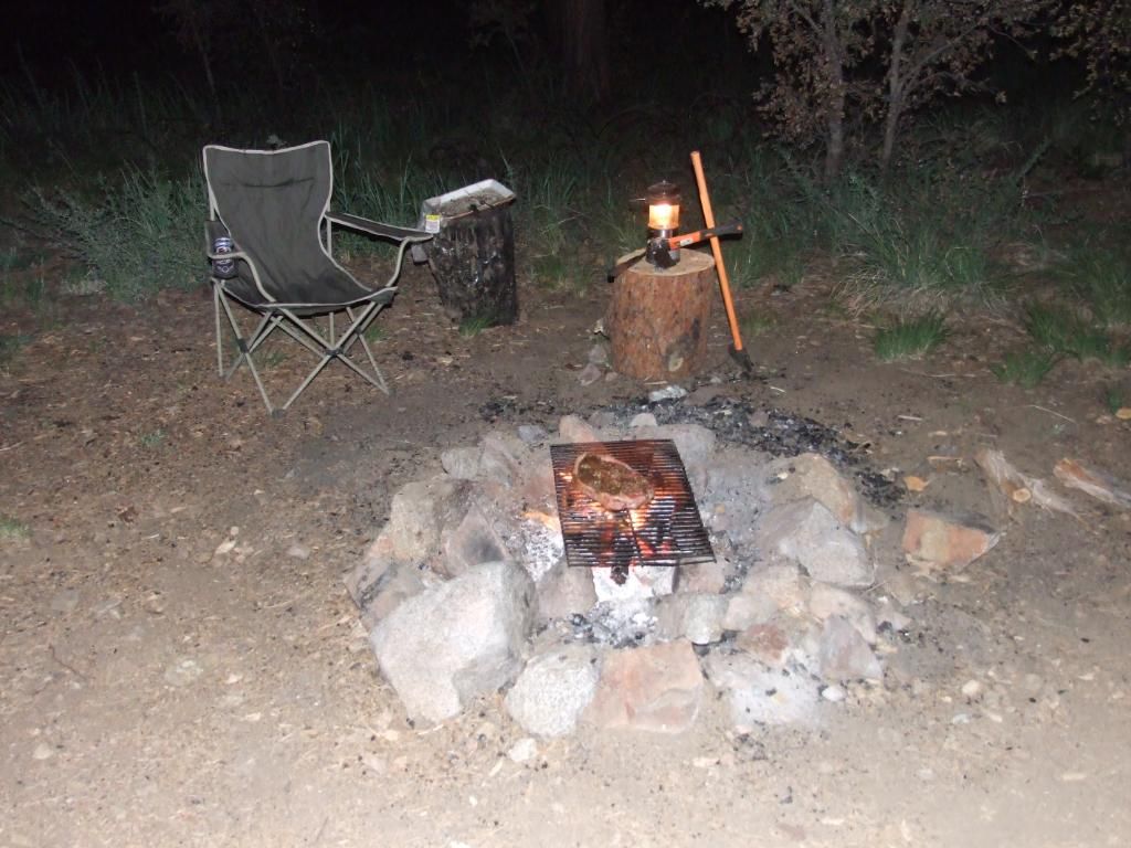
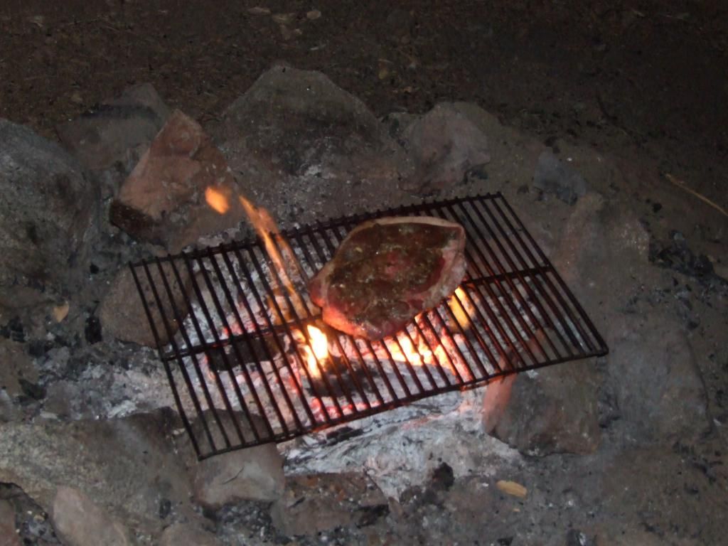
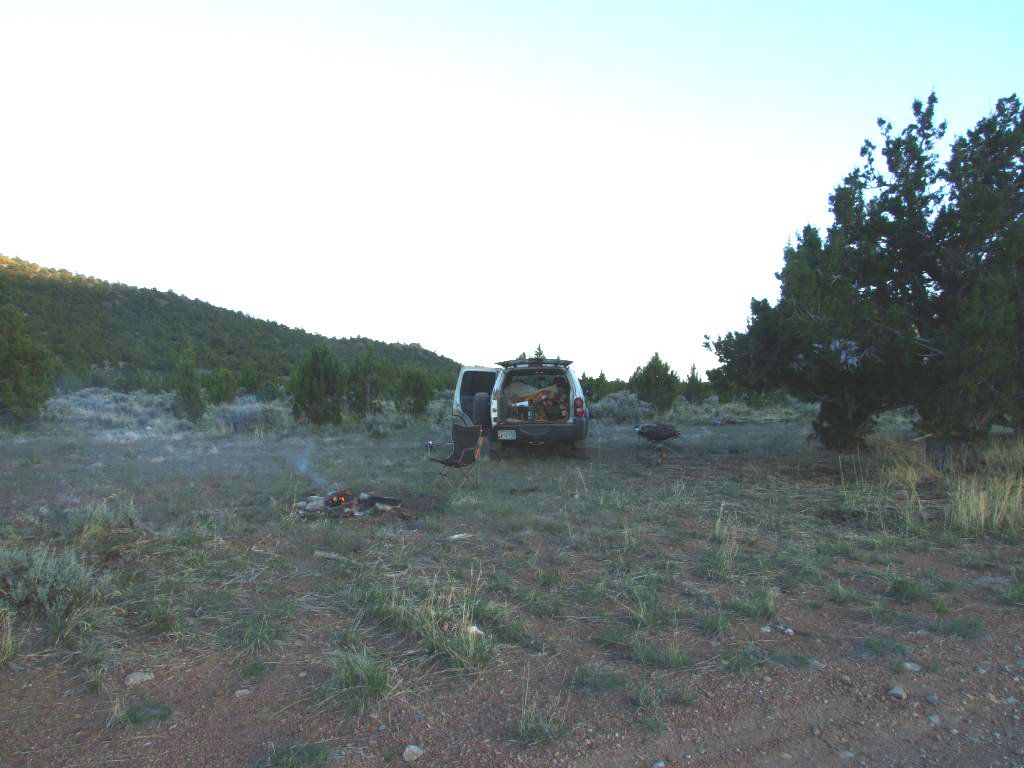
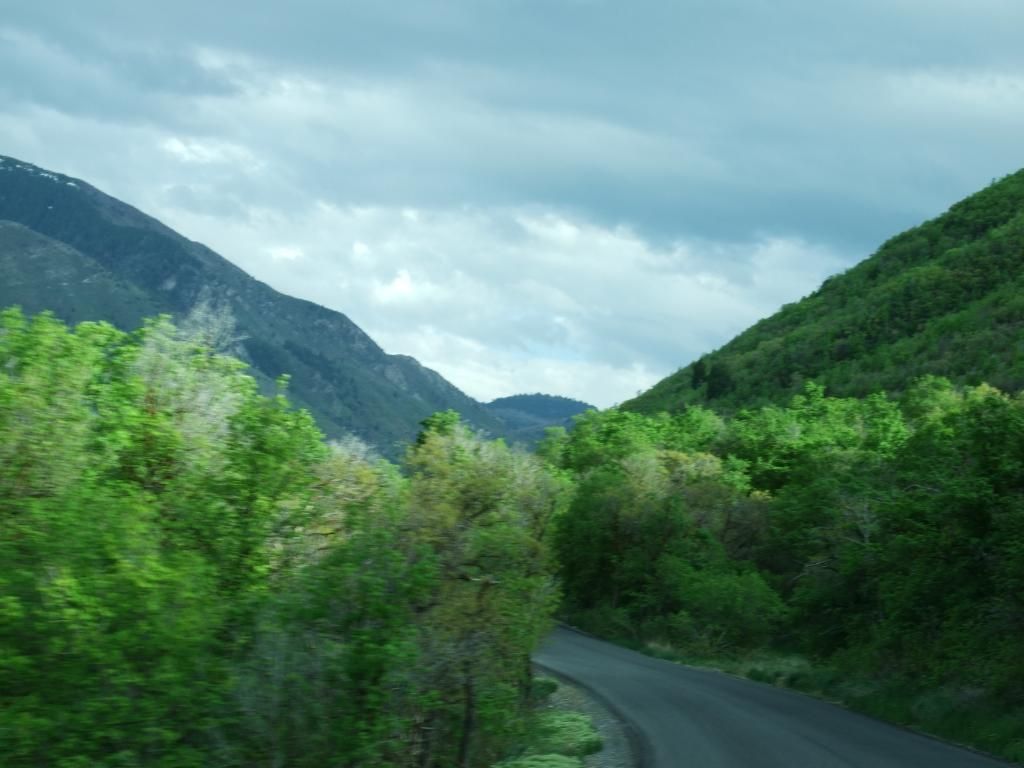
I made it to Payson, UT and camped at the Maple Lake campground. It's a fairly nice and secluded campsite, the lake is a ways down the hill, but there's some decent concrete pads in each site with tables on them. It is easy to get to, but it seemed to get alot of traffic. I saw lots of young folks 'cruising' the site in their cars and then later a sheriffs vehicle patrolling as well. All this on a Tuesday night? Anyways, the campground will cost you $16 but while I was there it rained, so even though I paid, it was a total waste for me. Though there was some nice things about this site. The deer that wandered through like they had no care in the world, and then the turkeys gobbling at night and the next morning. Here's a pic of the road to the campground:
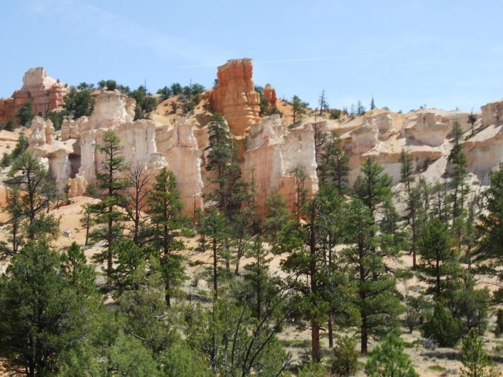
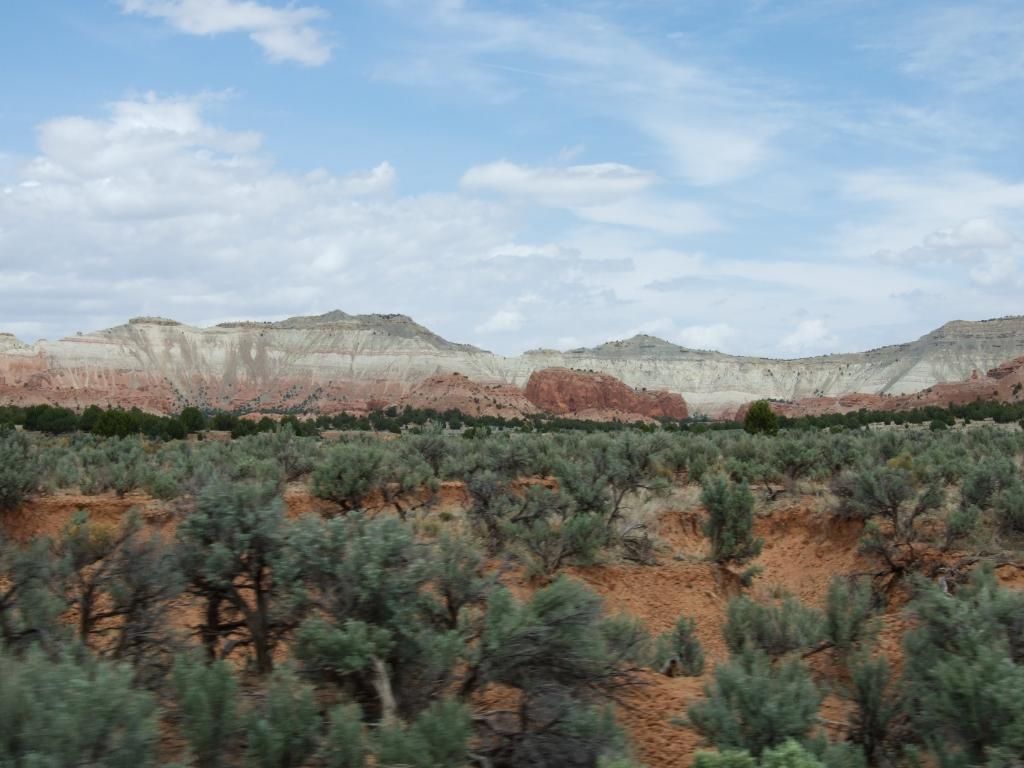
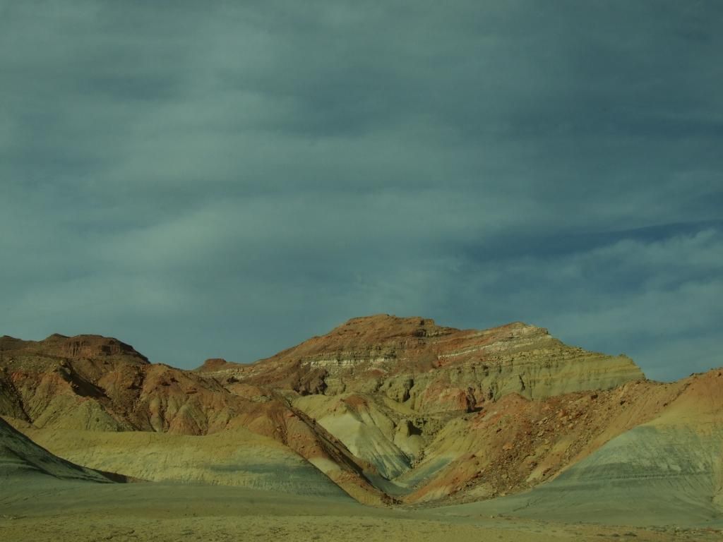
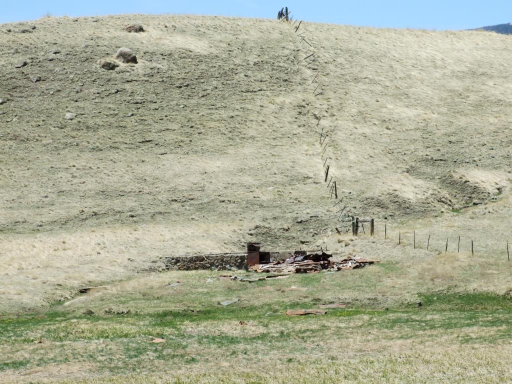
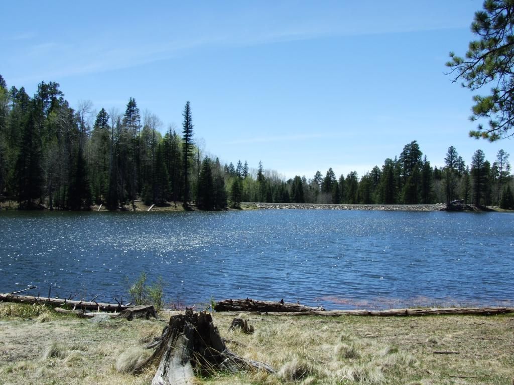
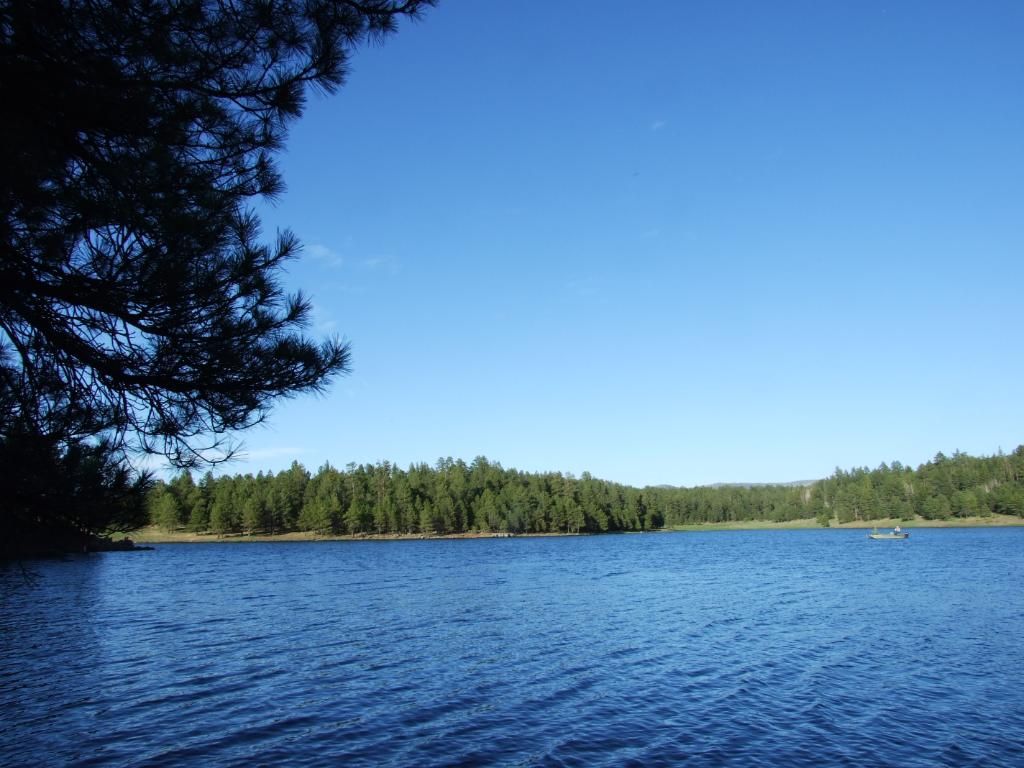
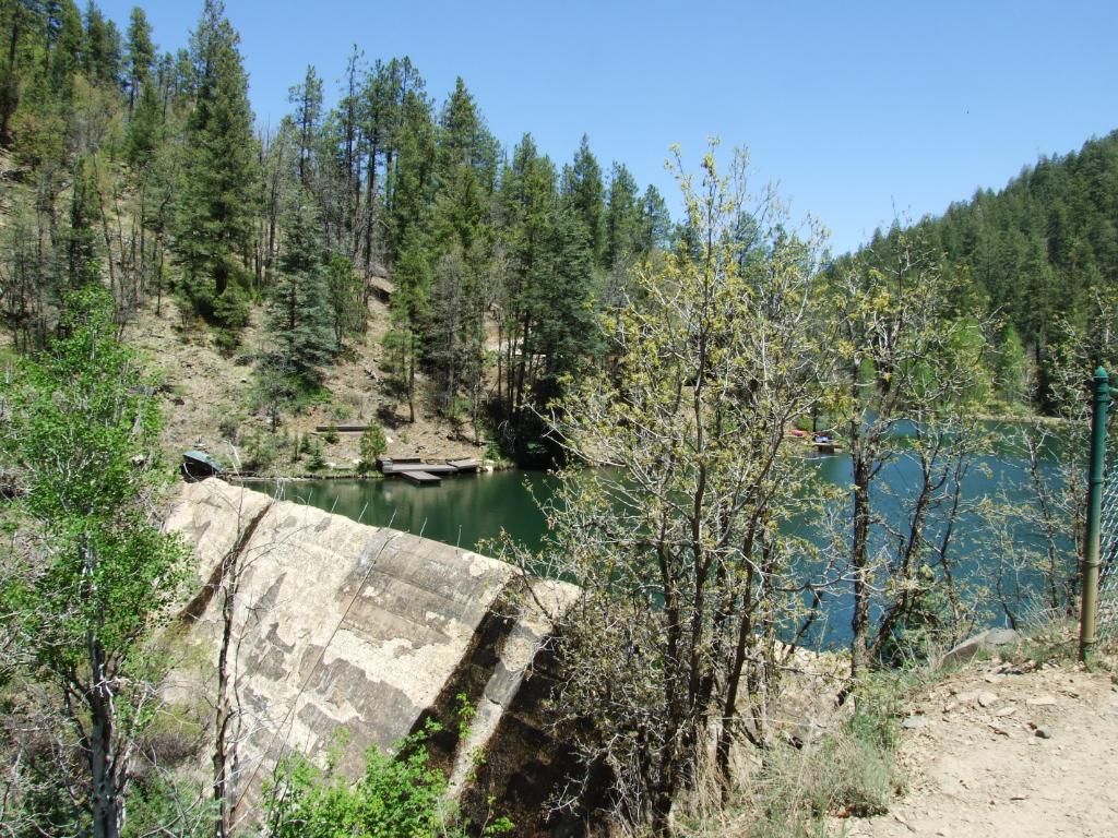
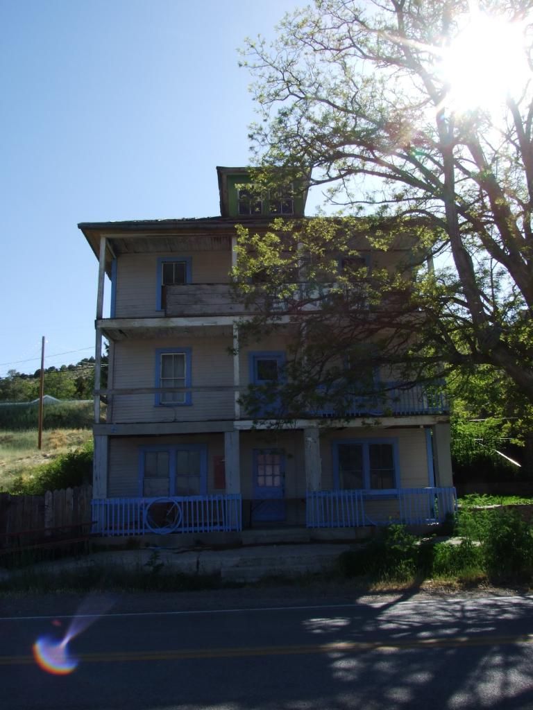
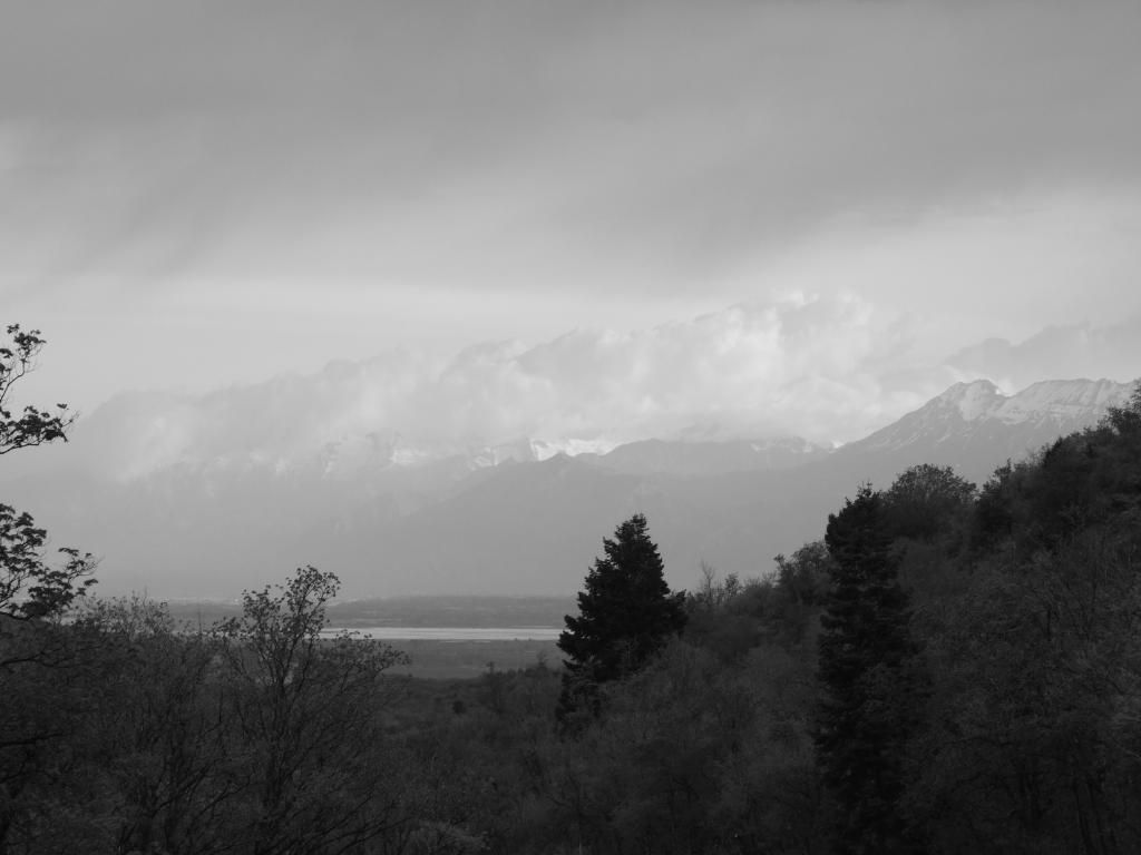
Here's one taken from the campground, looking down towards Payson:
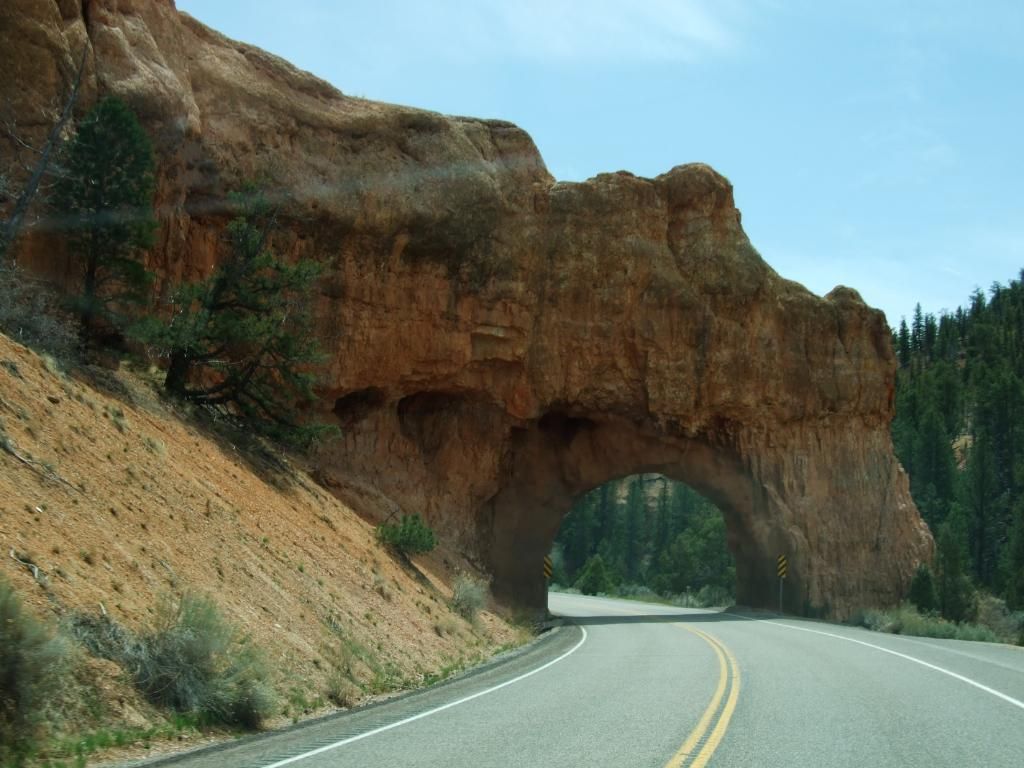
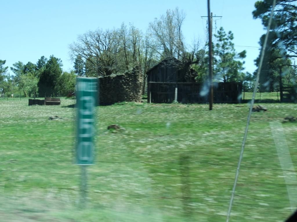
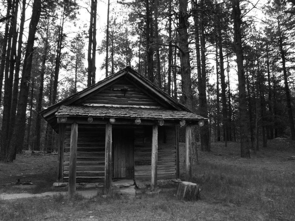
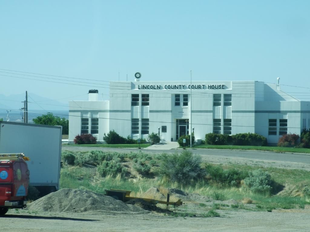
On my way out the next morning, here's a picture of a schoolhouse in Payson, UT:

So for what it's worth I will post a full on report of my trip from WA to AZ and back again, from Apr 30 - May 15, 2012. I posted a few reports over at virtualjeepclub.com for some of the individual side trips, but I guess for the other sites where I will post this I will combine all of it here, hope you enjoy.
It took a bit of planning so I could arrive at certain places at the right time of day with enough time to find a place to camp for the longest legs of the trip. With that said, my first day was leaving work 'early' on April 30, 2012, around 1PM so I could get to Ontario, OR. Nowhere to camp that's nice near there, so I booked a room in advance at the Stockman's Motel via booking.com. As a side note, that motel sucked, I left a bad review for it at booking.com. I had had a better hotel with more amenities in Israel in Tiberias for about the same $$$. And Israel is supposed to cost more. Check my review at booking.com
The next day May 1, 2012, I pushed on. While I was passing through Boise, ID, I stopped to see if I could get a good falafel (for some reason I was/am craving a falafel like I got in the middle east last Oct 2011). Anyways, my nav made me go right to the downtown canyons in Boise to a franchise place called "Pita Pit". But the falafel was the pits. Not only that, while I was going back to the freeway, I saw another Pita Pit a lot closer to the freeway, what a bummer. I could have found out how much their falafel sucked alot sooner, but that's just my personal falafel experience.
But my destination for this day was to camp outside of Payson, UT at or near Maple Lake.
Here's a quick pic of Salt Lake City as I was passing through on the interstate:
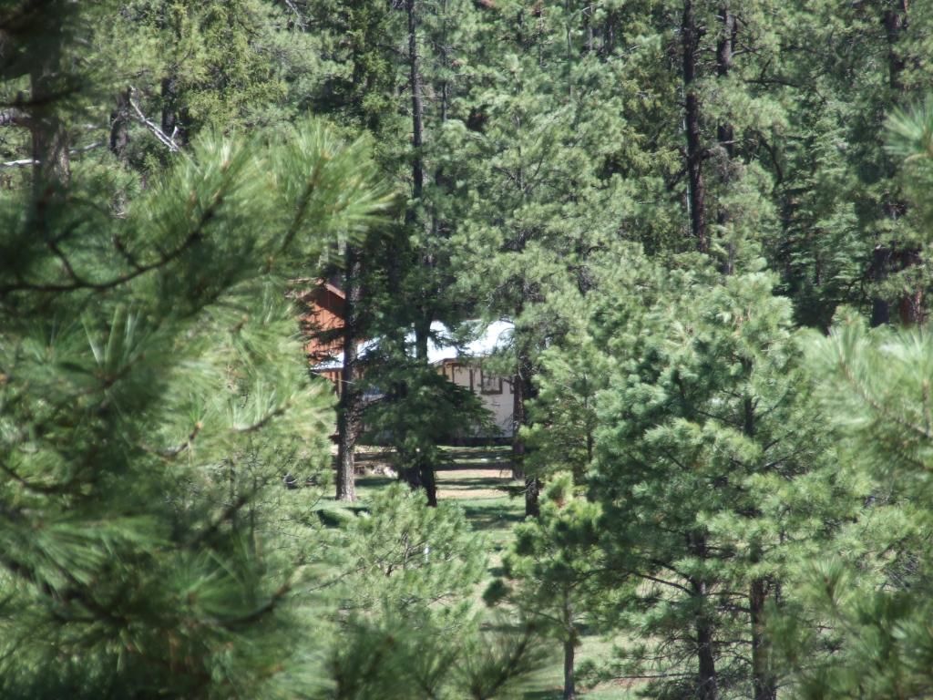
I made it to Payson, UT and camped at the Maple Lake campground. It's a fairly nice and secluded campsite, the lake is a ways down the hill, but there's some decent concrete pads in each site with tables on them. It is easy to get to, but it seemed to get alot of traffic. I saw lots of young folks 'cruising' the site in their cars and then later a sheriffs vehicle patrolling as well. All this on a Tuesday night? Anyways, the campground will cost you $16 but while I was there it rained, so even though I paid, it was a total waste for me. Though there was some nice things about this site. The deer that wandered through like they had no care in the world, and then the turkeys gobbling at night and the next morning. Here's a pic of the road to the campground:
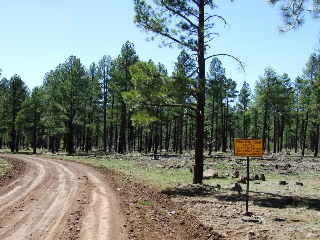
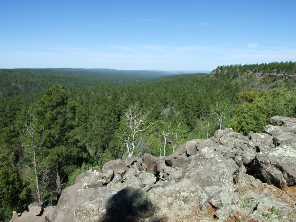
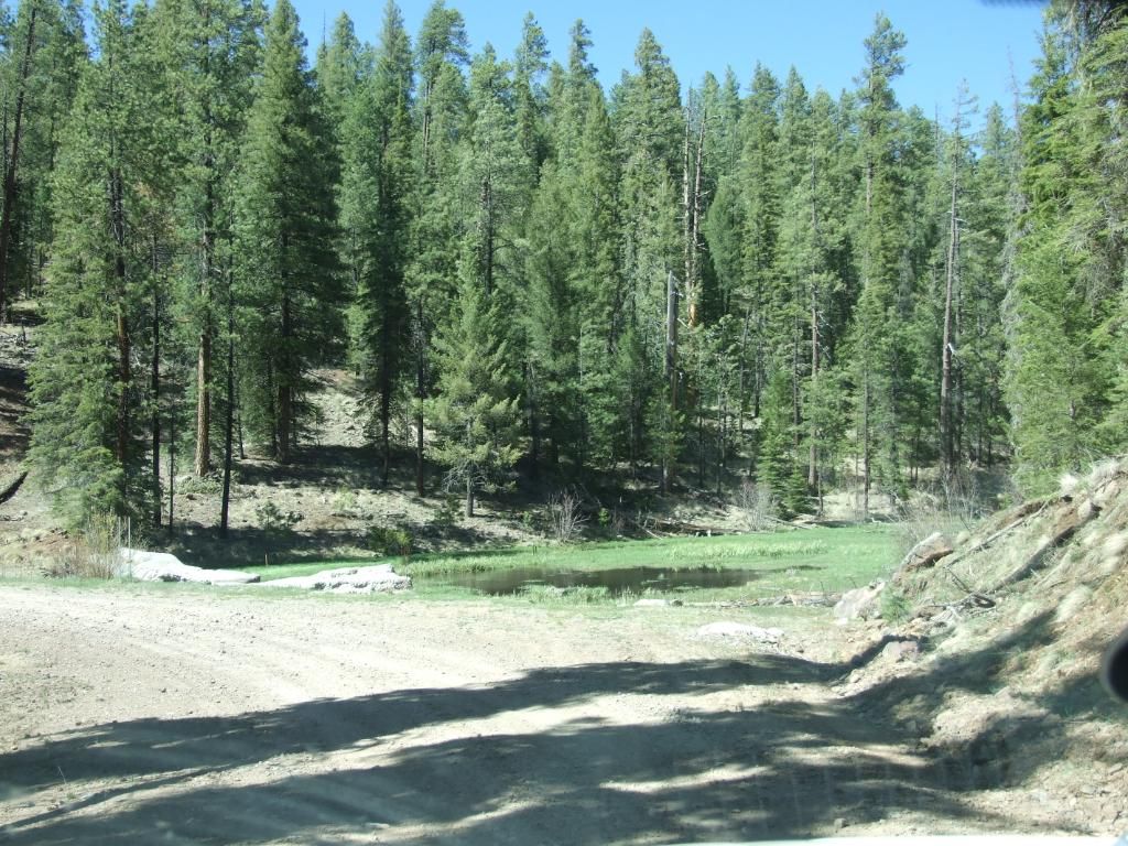
Here's one taken from the campground, looking down towards Payson:
On my way out the next morning, here's a picture of a schoolhouse in Payson, UT: