ttora4runner
Expedition Leader
Growing up my family had traveled all over the west visiting basically every state west of the Mississippi. Most of these trips I have fond memories of but one place I don't ever remember visiting was 'Great Basin National Park'. I think this was largely due to it being off the beaten path.
For probable the last year or so I had considered visiting off and on but never really got around either because of other trips, work, family obligations or mountain biking. With an upcoming move out-of-state I made the decision to go ahead and go. It was just a matter of when.
Sometime Thursday night I finally made the decision to go but for how many days I was still unsure of: one long day or an easier two day trip. Needless, to say preparations where made for at least a two day trip just encase.
So in the same manner as the Montana trip that I did at the beginning of the year it was a 2 am wake up call to be out the door by 3 am to hit the road. This wouldn't have been so bad had I not gone to 1030 pm the night before. Caffeine was my friend yet even at this point even that wasn't enough and a couple of cat naps where in order.
This had to be one of the most desolate routes I have ever traveled, between Santaquin and Delta, Utah I could've counted the number of cars I encountered on two hands and once out of Delta that number dropped off even more.
Lets just say I was thankful to see the light day once again.
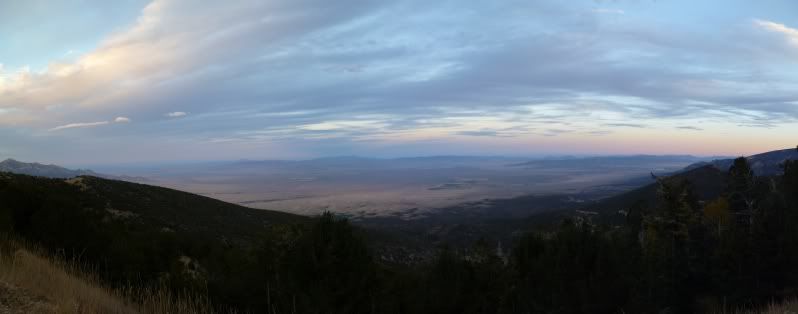
With the rising sun I could see my destination, brightening my spirits and wading off that doziness that was haunting me knowing that I would be there soon.
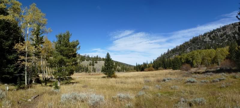
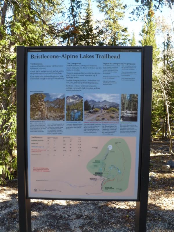
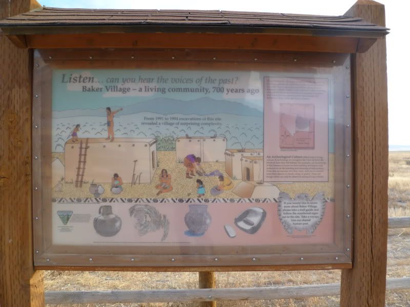
Before making the trip into the park I had decided to stop at the 'Baker Archeological' site to check it out and see what was there. It also happened to be along a cut-off to the park. After visiting the site and getting a good stretch in I headed off to the park to start exploring. Thankfully, I had printed off the map of the park and trail information before-hand since both of the visitor centers where closed when I arrived.
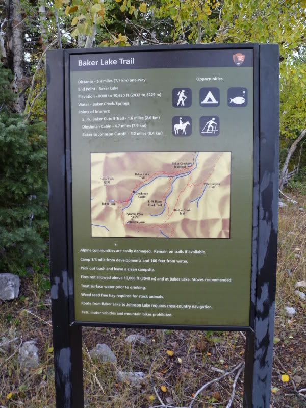
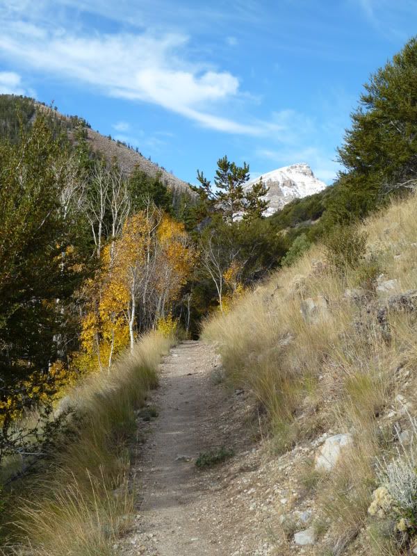
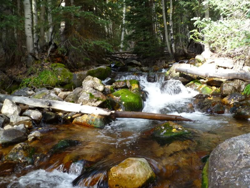
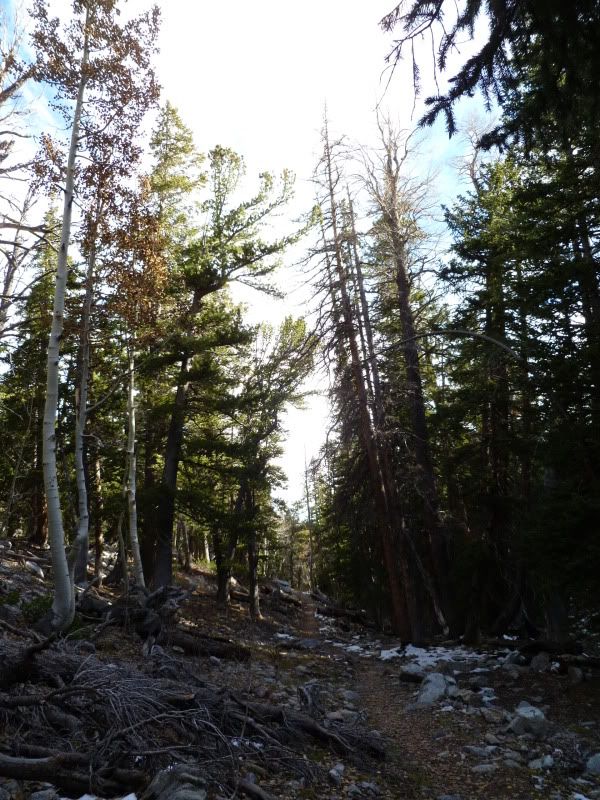
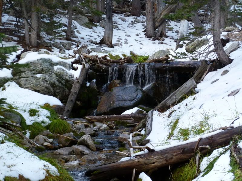
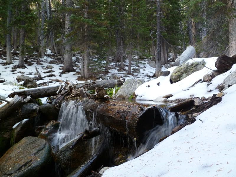
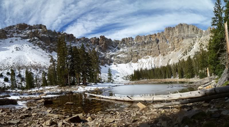
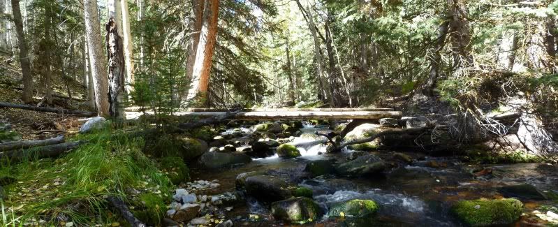
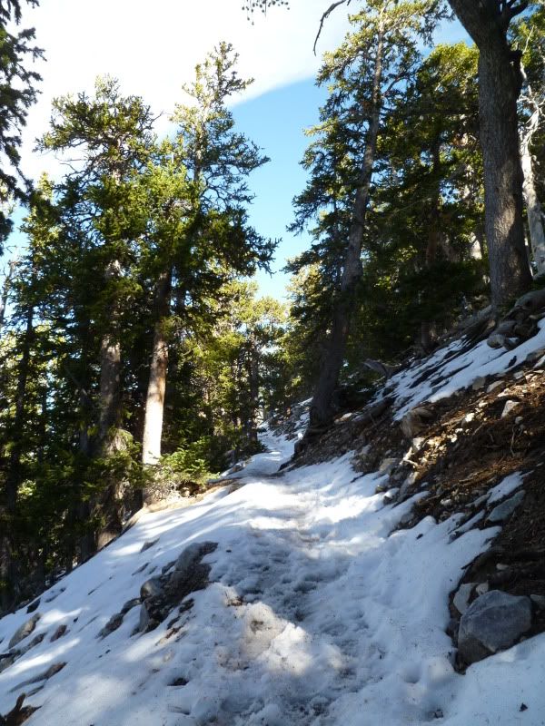
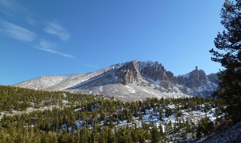
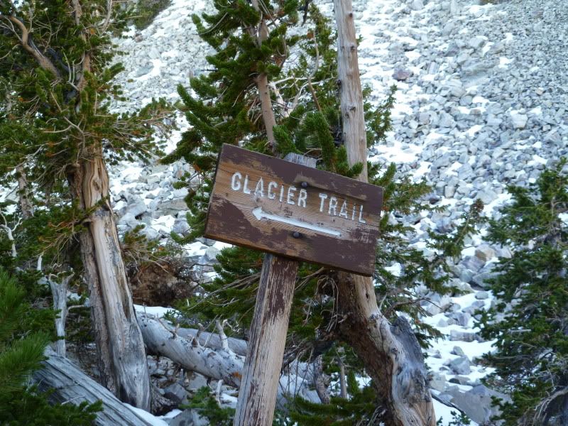
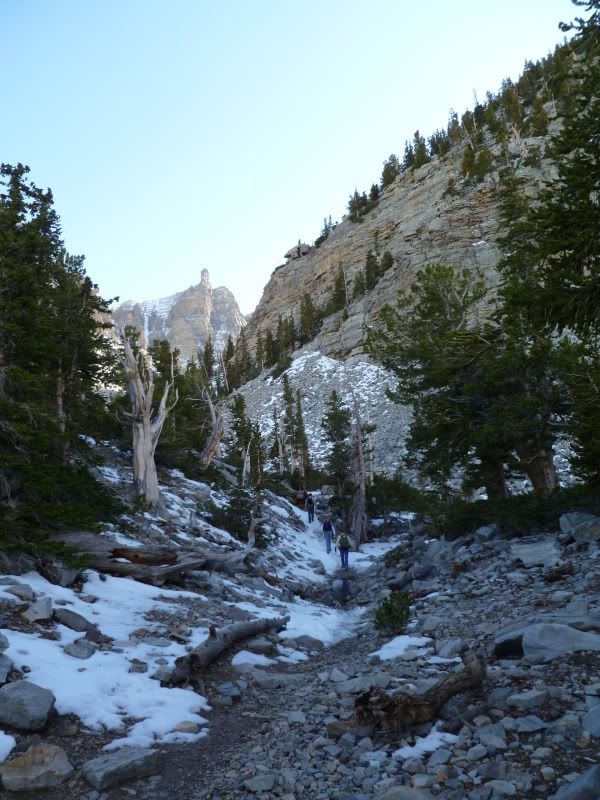
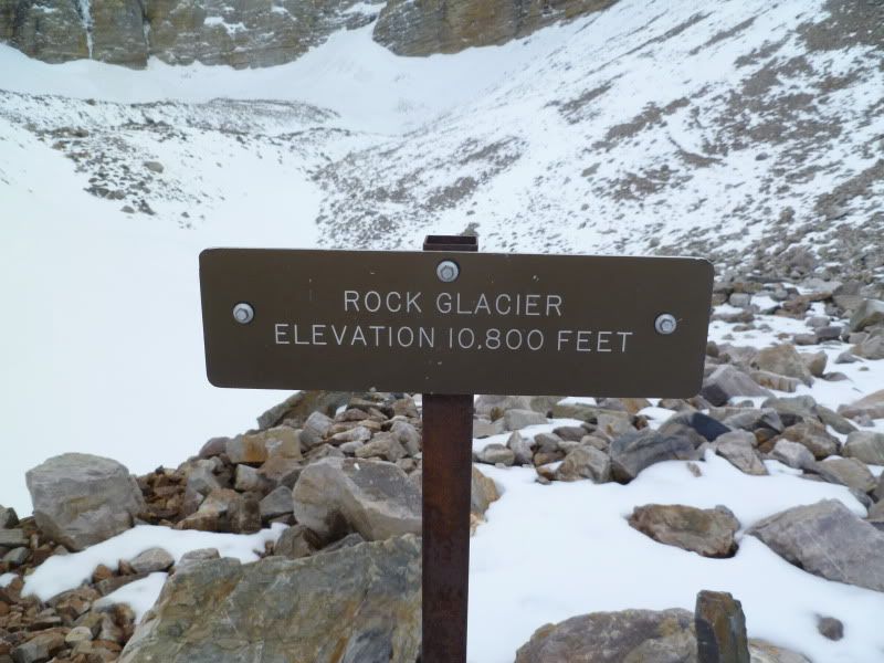
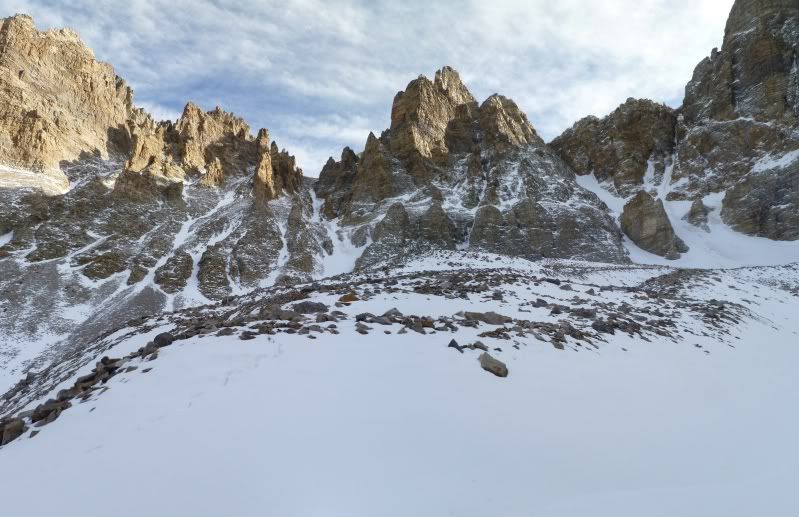
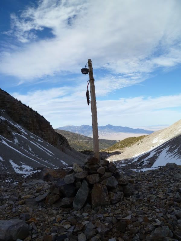
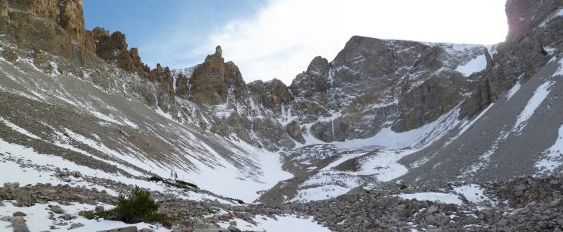
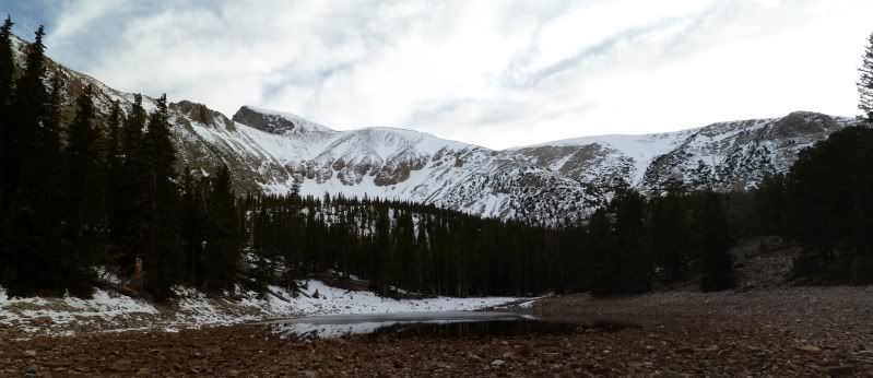
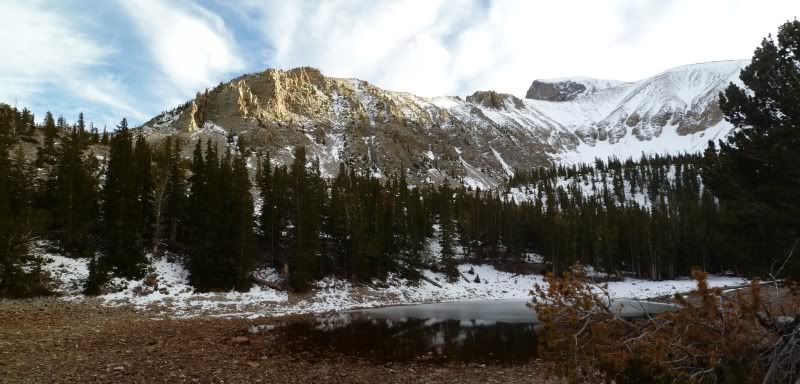
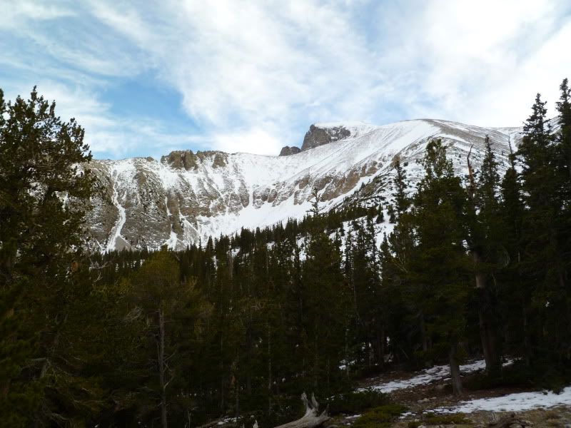
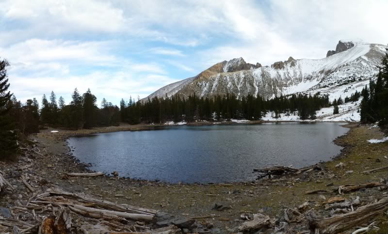
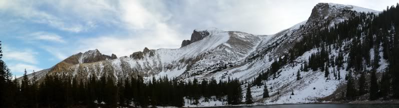
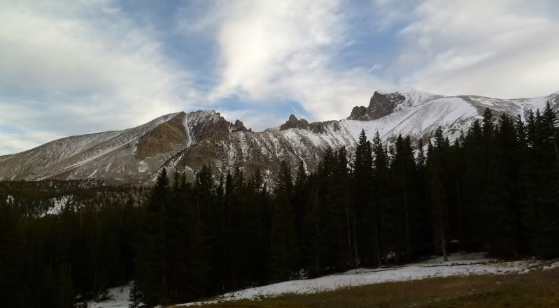
First order of the day was the hike up 'Baker's Trail' to the lakes.
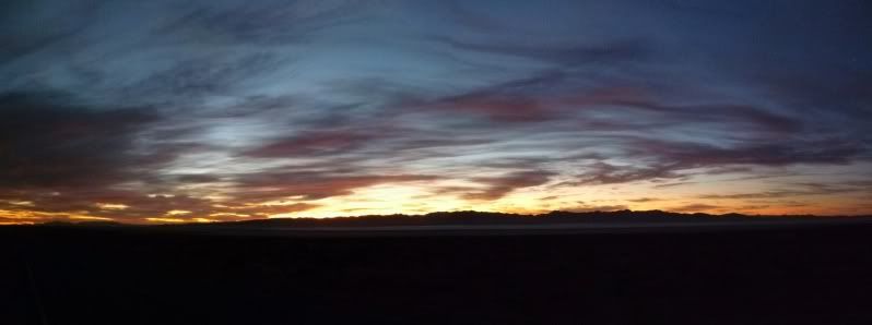
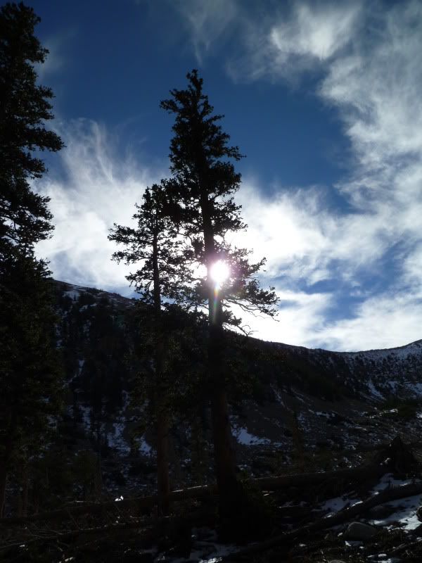
Early morning sunrise
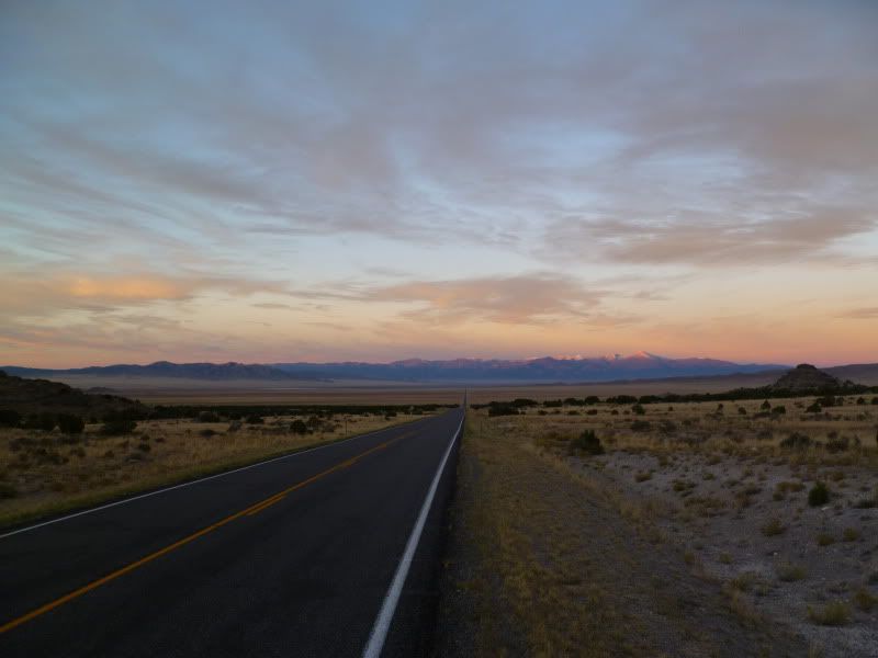
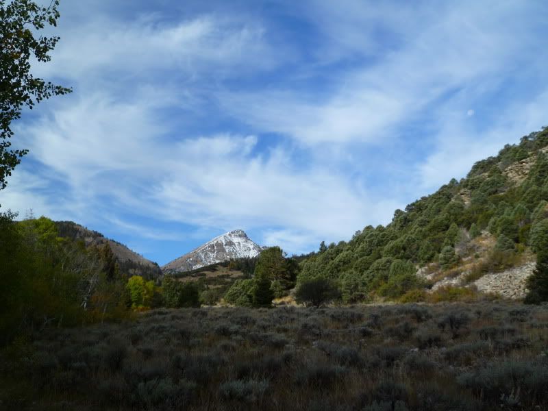
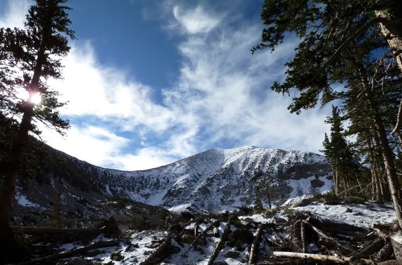
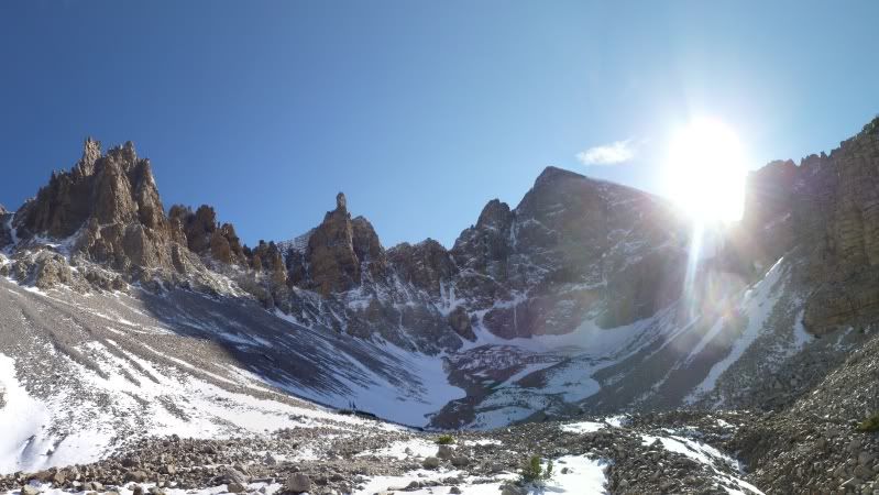
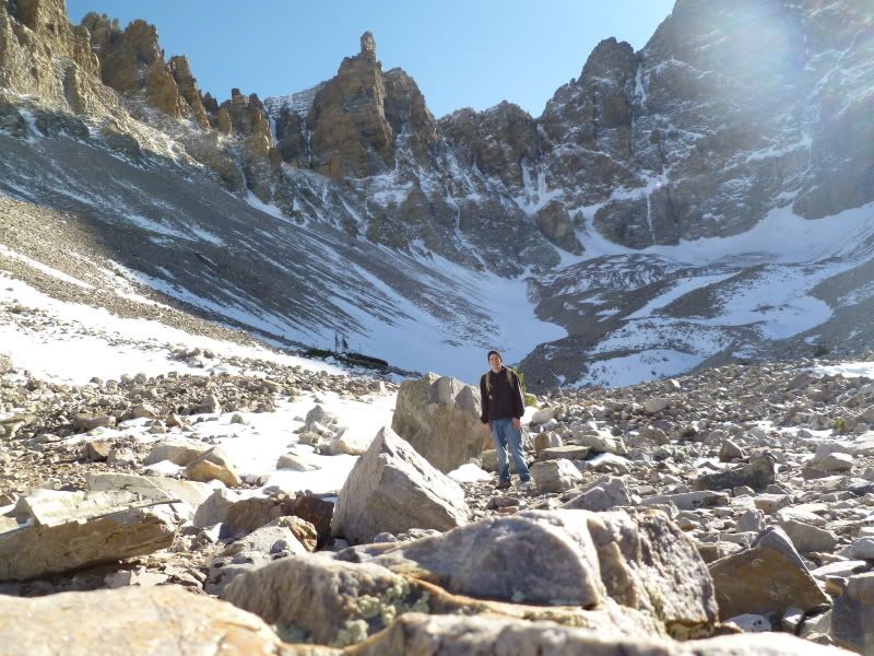
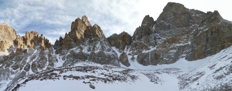
The long around ahead but all so close
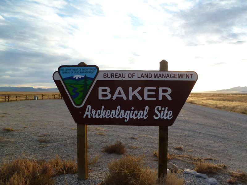
Baker Archeological site
Sign
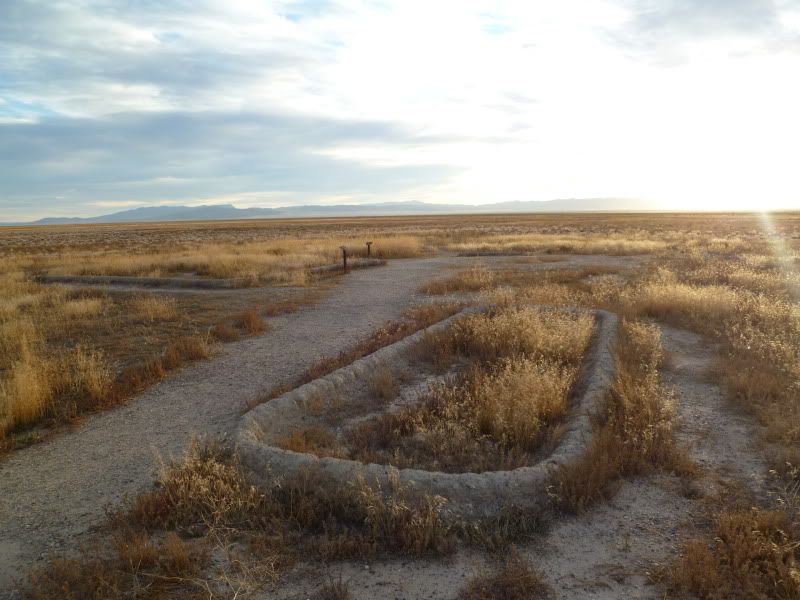
Ruin 1
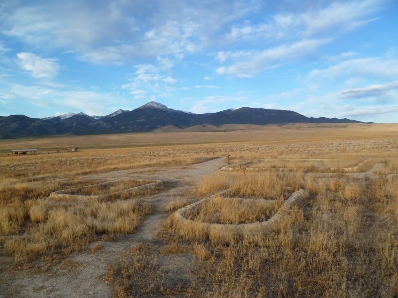
Ruin 2
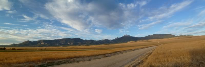
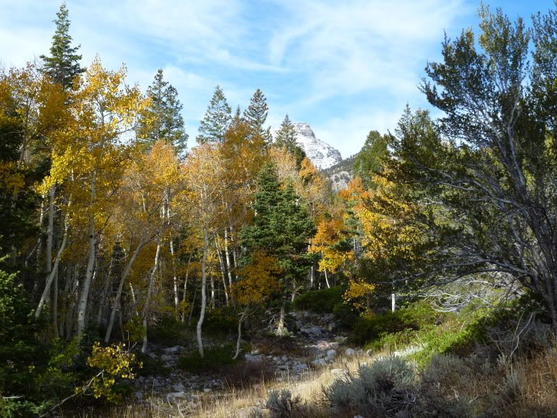
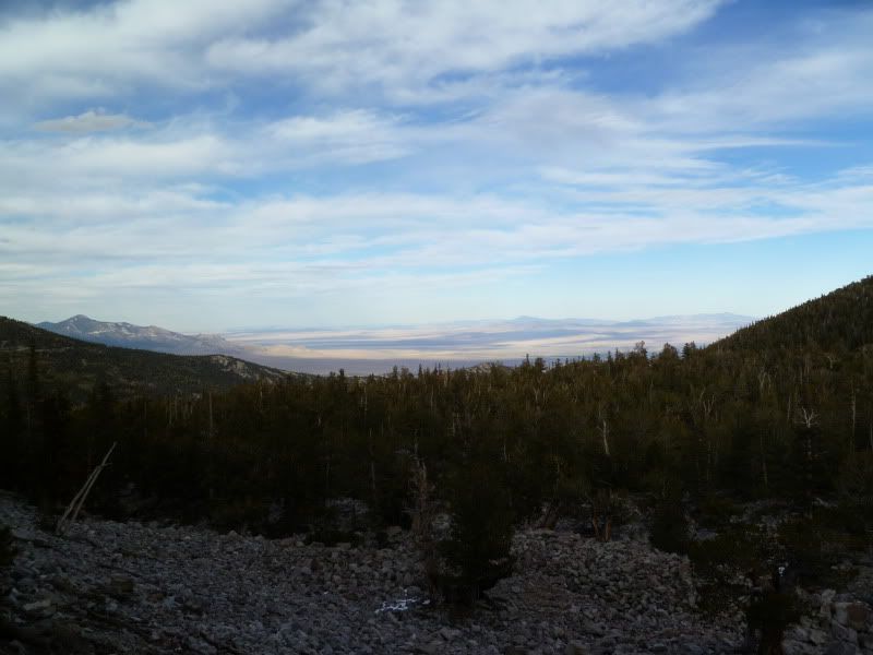
Looking towards the park
For probable the last year or so I had considered visiting off and on but never really got around either because of other trips, work, family obligations or mountain biking. With an upcoming move out-of-state I made the decision to go ahead and go. It was just a matter of when.
Sometime Thursday night I finally made the decision to go but for how many days I was still unsure of: one long day or an easier two day trip. Needless, to say preparations where made for at least a two day trip just encase.
So in the same manner as the Montana trip that I did at the beginning of the year it was a 2 am wake up call to be out the door by 3 am to hit the road. This wouldn't have been so bad had I not gone to 1030 pm the night before. Caffeine was my friend yet even at this point even that wasn't enough and a couple of cat naps where in order.
This had to be one of the most desolate routes I have ever traveled, between Santaquin and Delta, Utah I could've counted the number of cars I encountered on two hands and once out of Delta that number dropped off even more.
Lets just say I was thankful to see the light day once again.
With the rising sun I could see my destination, brightening my spirits and wading off that doziness that was haunting me knowing that I would be there soon.
Before making the trip into the park I had decided to stop at the 'Baker Archeological' site to check it out and see what was there. It also happened to be along a cut-off to the park. After visiting the site and getting a good stretch in I headed off to the park to start exploring. Thankfully, I had printed off the map of the park and trail information before-hand since both of the visitor centers where closed when I arrived.
First order of the day was the hike up 'Baker's Trail' to the lakes.
Early morning sunrise
The long around ahead but all so close
Baker Archeological site
Sign
Ruin 1
Ruin 2
Looking towards the park