Ontario Exploration - Grey Highlands & Bruce Peninsula

AlekG

Adventurer
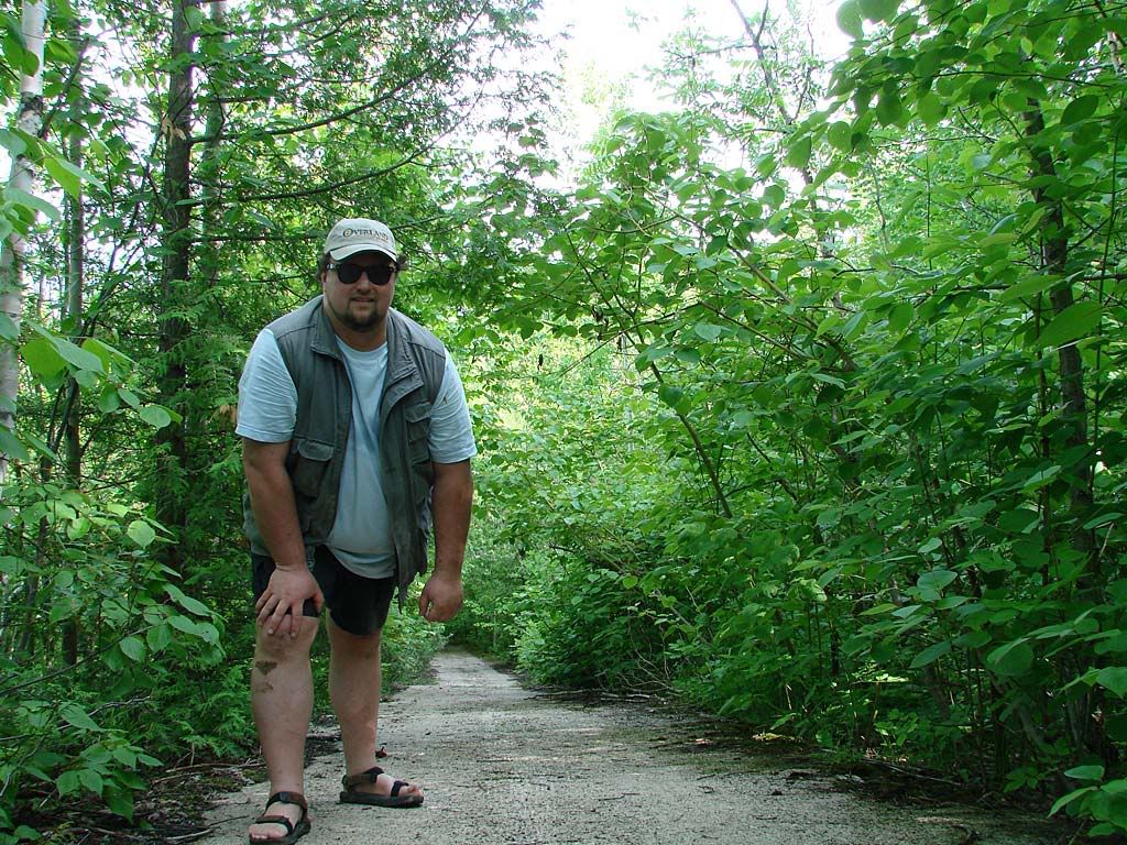
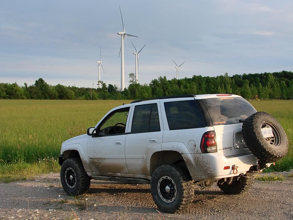
This year Canada Day (July 1) fell on a Tuesday. I was lucky enough to also have the Monday off so I decided to explore some specific areas of the Grey Highlands and Bruce Peninsula over 3 days. The weather was almost perfect, not too hot with no humidity, and ultimately lots of sun.

Sunday night I drove up to Blue Mountain Resort and stayed in one of the village hotels. Blue Mountain is really the Niagara Escarpment as it passes close to the town of Collingwood. I have always liked the small but fun mountain village there (winter or summer) as it has some very nice bars/restaurants and live bands in a couple of them almost every weekend.

Grey Highlands

The plan was to check out a couple of interesting areas at the close-by Osler Bluffs area in the morning as the forecast called for sunny weather all day Monday. Unfortunately I woke up to heavy fog and short downpours. I decided to at least get some pictures of what I was going to explore.


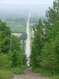
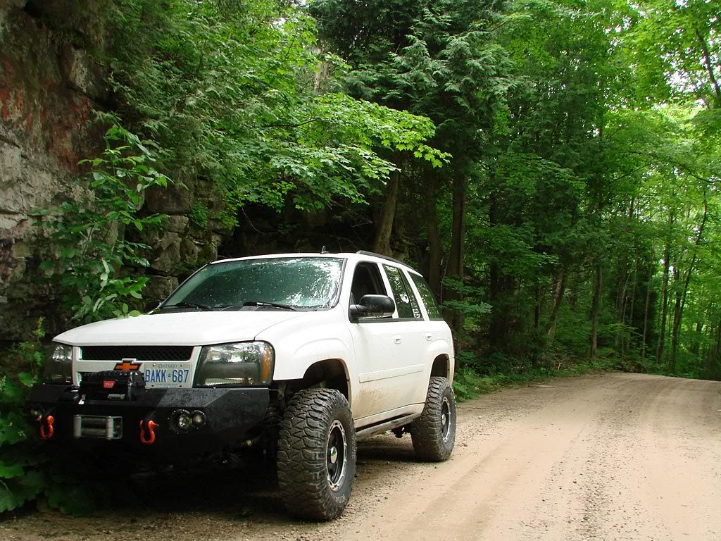
The left picture is at the top of a "road closed - use at your own risk" area. As I did not have cable in my winch (long story), and it was still raining and wet, I decided to not give it a try this time. This is looking east with Georgian Bay in the far distance.

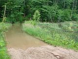
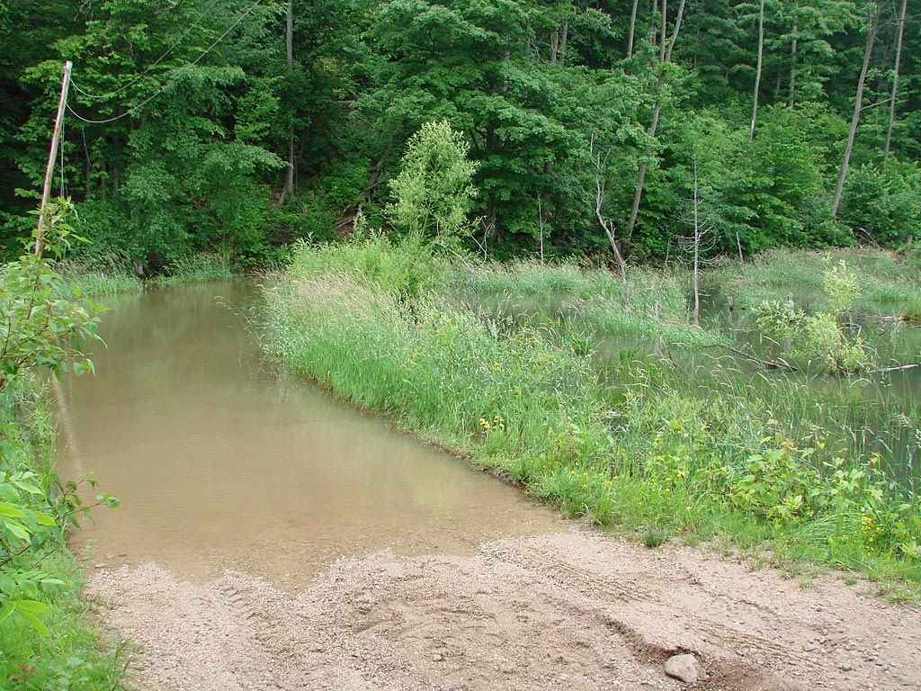
The right picture is just a bit further west, another "use at your own risk" area but this time "water over road". This is at the bottom of a further rise in the Escarpment. The road does a couple of switchbacks and ends up at the top close by the top of the Osler Bluffs ski area. With the rain starting to come down again, I didn't want to go wading through the water to see if there were any rocks, how far it went for, and whether the bed was firm or not. I will definitely be back here in late summer with hopefully some drier weather.

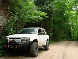
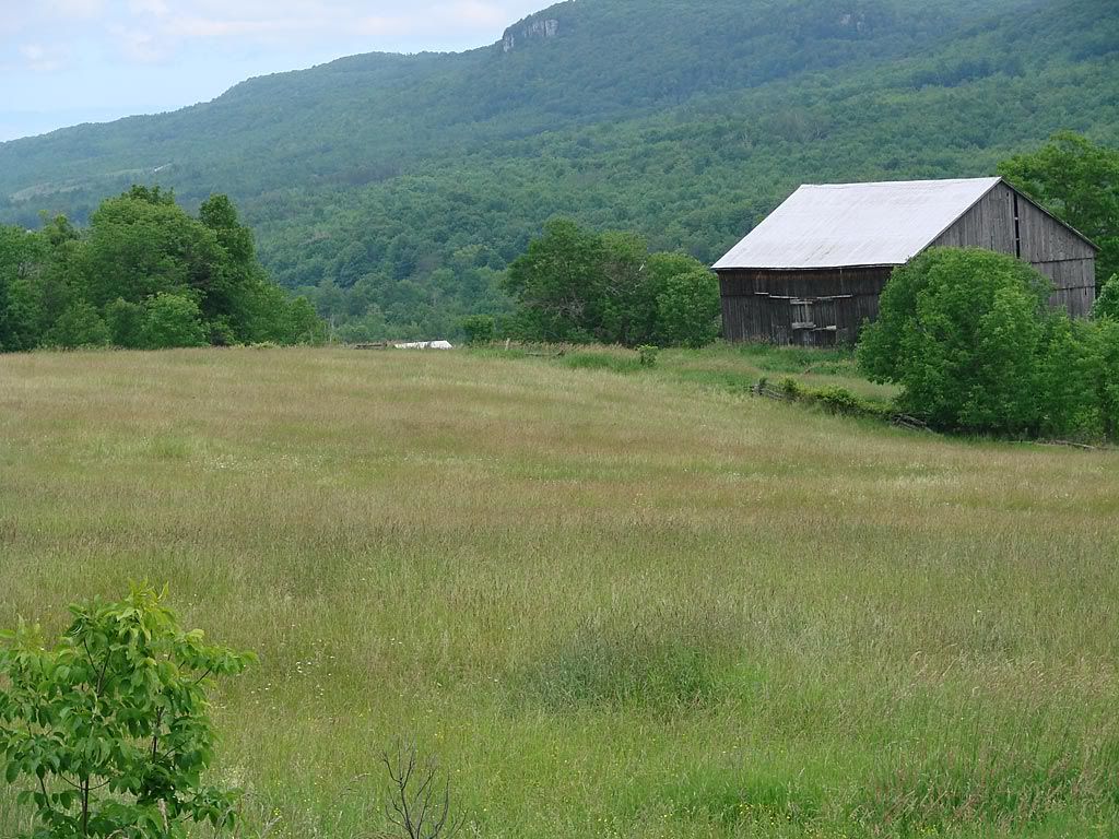
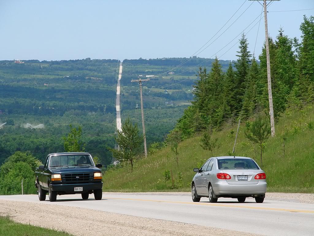
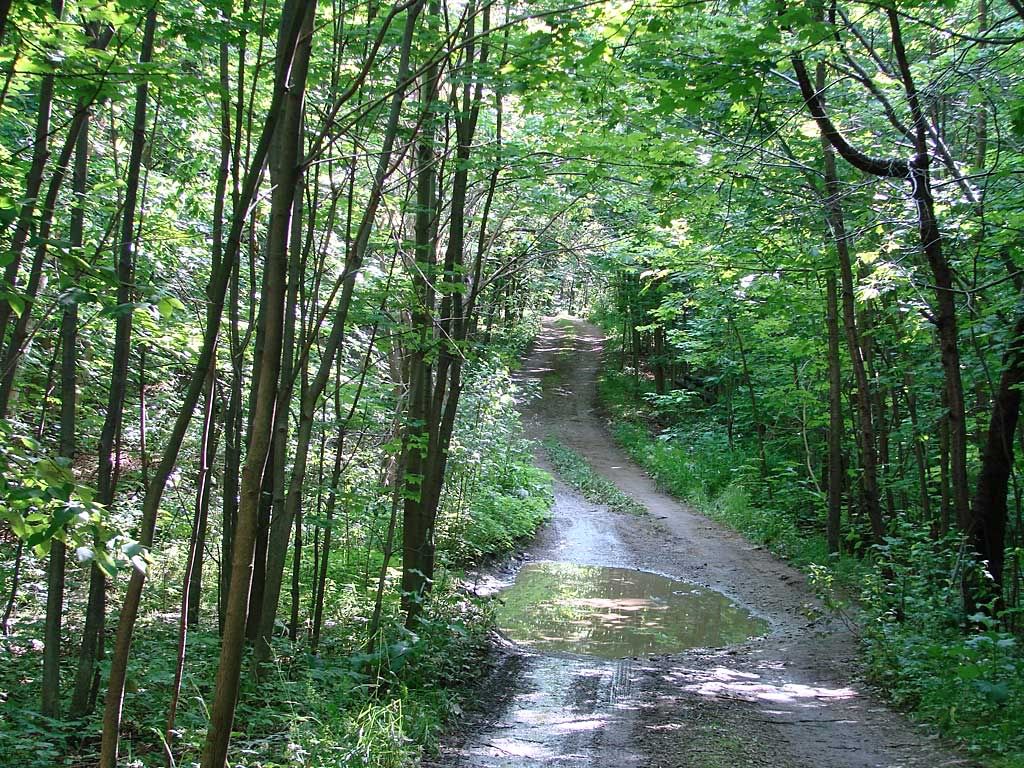
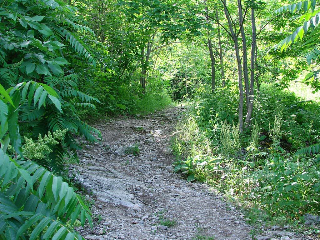
I continued west an alternate way heading for Beaver Valley. A stop on a forest road alongside some rock outcroppings. And halfway down the east side of Beaver Valley.


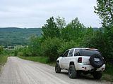
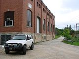
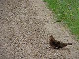
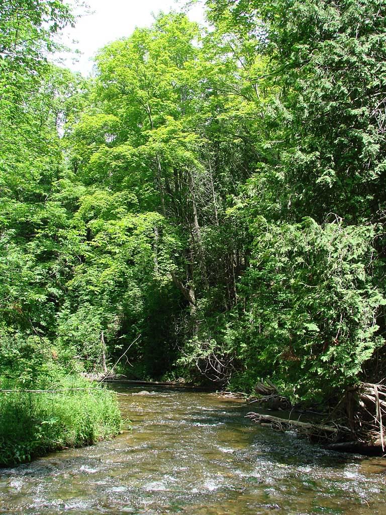
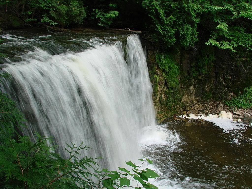
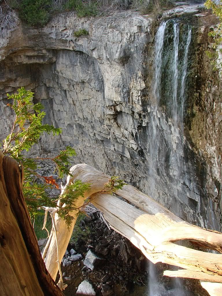
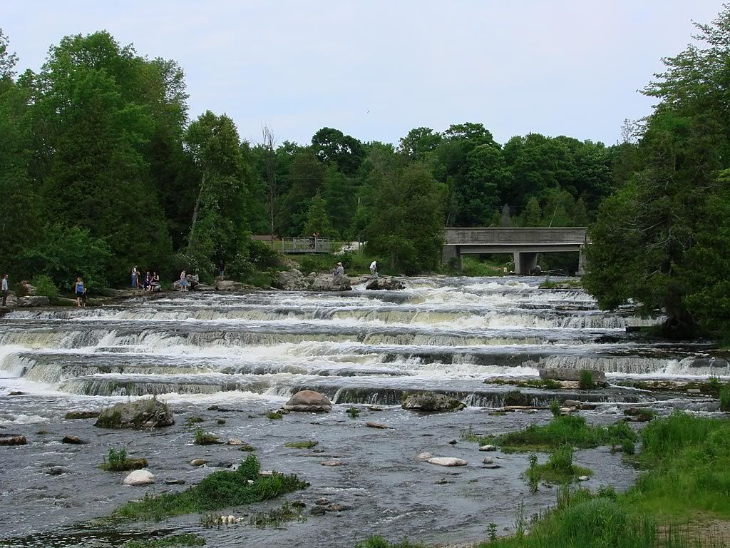
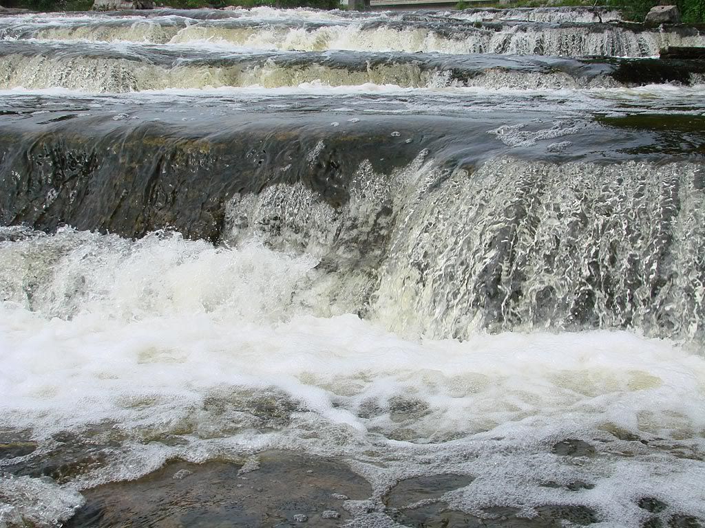
You can see the steep road exiting the other side of the valley just to the left of the trees in the foreground. But before going up that hill I drove south down to Lower Valley Road to check out the 2 waterfalls in the area. Looking north from the valley. Next to the small Eugenia hydro power generating station built it 1914. A Grouse (I think) crossing the road.
 

AlekG

Adventurer
Grey Highlands Continued

At this point the weather started to clear up. My next stop was Hoggs Falls which are on the Beaver River, just next to Lower Valley Road. A shot of the river on the short trail to the falls.


Hoggs Falls stay quite active all summer long as the Beaver River's water level does not decline that much. In contrast, Eugenia Falls only has trickle most of the summer and autumn because most of the water is diverted to the power generating plant. Saying that, its still a site to see as the cliffs there are over 30 m high and you can get quite close to the edge (if you want to). The next shot is beside the road heading north out of Beaver Valley and towards the Bruce Peninsula.


Bruce Peninsula
My first stop heading north towards Tobermory which is at the northern tip of the Peninsula was at Scenic Caves Road on the Georgian Bay side (East side). I spotted this track on Google because it looked like the road made its way down the Escarpment and right to the water's edge.

However, once arriving I ended up seeing that it did not. The road itself turns into a dual track forest road with lots of not-to-deep mud holes. It stops at the edge of the Escarpment with what I am calling a "footpath" continuing steeply down. Its quite narrow, to the point that I don't think a vehicle other than an ATV could negotiate it.

It was interesting to see that about half of the trail down has been laid with concrete, to keep erosion at bay I would assume. I ended up hiking down to get to the water but even that was thwarted. At almost the very bottom, the trail crosses the Bruce Trail at a clearing then descends down a couple of rocky ledges. Definitely traversable but not with the water sandals I was wearing. I will come back here with my hiking boots and get down to the water.

After getting back to the Trailblazer I headed north to my next stop, Cabot Head Lighthouse.
 

AlekG

Adventurer
Bruce Peninsula Continued

Cabot Head juts out on the Georgian Bay side of the Bruce Peninsula and has a well preserved historical lighthouse / museum. This image is from their website:

wingfield_18.jpg


I tried to stick to the coast as much as possible as there are some great views of the Escarpment cliffs. The left picture is looking south to Lions Head, the right is a close up looking north to a point. You can make out some people on the beach to reference the cliff heights.


Cabot Head Road is graded gravel and hugs the Georgian Bay shoreline on the right pretty closely. Every once in a while you see the cliffs come up on the left. Overall its a very scenic drive. At the end there is a small parking lot and a short walk to the lighthouse and other smaller buildings. There is also a walking trail out to Wingfield Basin and the point.

You can see the sailboats anchored in the basin which is 3 fathoms deep. People have set up some nice stone-chairs along the beach at the point. I wish I had my Overland Journal with me so that I could submit a picture.

I headed back with the sun starting to set over the cliffs. I caught a glimpse of what I think was a Herron, either Great Blue or Little Blue, I couldn't make out the head colour. Also got a quick shot of the Trailblazer with some cliffs in the background.


So it was off to Tobermory for the night. Tuesday's plan was to follow the Lake Huron side (West side) of the Peninsula.
 

AlekG

Adventurer
Bruce Peninsula - Lake Huron Side

Tuesday the 1st of July ended up being the best day of all. Not a cloud in the sky and very comfortable 19 degrees Celsius. I headed south from Tobermory and turned towards the Lake Huron side just south of Bruce Peninsula National Park.

The various farm roads took me close to the water from time to time. The West coast is much different than the eastern Georgian Bay side with lots of sandy beaches and very shallow water. My ultimate destination on this day was Sauble Falls.

On the way I wanted to explore some beach trails that are clearly visible on the hi-def satellite pictures from Google. When I actually arrived at the first location, I saw what I was looking at on Google and learned why. The recent dramatic water level drop on the Great Lakes have caused huge beach expansion in these areas. Where once water used to be, there are large areas of hard-packed sand and beach vegetation. So the only way to get to the water is to drive a kilometer or so into what used to be water. That is when I happened to come across this.


The first picture is of the male Piping Plover only, the second one you can make out the newly-born chick in the middle. This is what they look like up close, with the pictures actually being taken this year at Sauble beach, just south of where I was.


Photographs from Wiki article.

Because the Piping Plover is endangered in the Great Lakes habitat, the Ministry of Natural Resources had a section of the beach closed and the local volunteers were on patrol watching for predators. This was the first nesting and hatching on this particular beach in 35 years. The first in the entire region was last year on Sauble beach.

I continued south to my next intended beach exploration looking to set up my chair for a nice lunch. There were many more people at this location with lots of parasailing / parasurfing going on.


After about 2 hours in the sun, I headed down to Sauble Falls.
 

AlekG

Adventurer
Lake Huron Side Continued

I wanted to check out Sauble Falls because in the book Waterfalls Of Ontario it describes how when the water is low enough, you can walk across the entire length of these "step" type falls.

The falls are part of Sauble Falls Provincial Park where I parked and walked the short trail to the river. There were many people on the falls trying to walk across, jumping into deeper pools, and generally having a good time. I ended up walking down to the lower part of the falls and walking out about a third of the way with my still and video cameras to take some close-up shots.


The skies started to turn gray so I cut the visit short and headed back home. The route I decided to take was through Shelburne, mainly because that town has my favorite pizza chain - Pizza Delight. Unfortunately all the locations are gone down in the big city, but whenever I can, I stop at one of the shops in the smaller towns in central Ontario.

What I did not expect is that I would be driving straight through a quite significant wind farm. Its the Melancthon I Wind Plant, has 45 turbines and generates an estimated 195,000 MWh per year. I arrived in the area as the sun was setting so I drove around to get a few good shots. A pretty impressive sight.


And that was it for this short exploration. I will follow up with some links to Google maps I am working on. And if I have some time, I hope to post some videos I took from an HDV camcorder mounted through the sunroof.
 

Lost Canadian

Expedition Leader
Nice report. I know the areas you went through very well. I have a big chunk of land just south Tobermory, for our future home or cottage, we're not sure which yet. :rolleyes: 
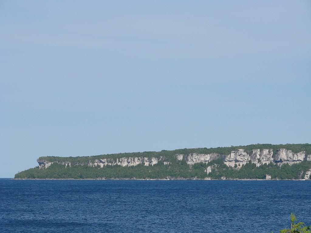
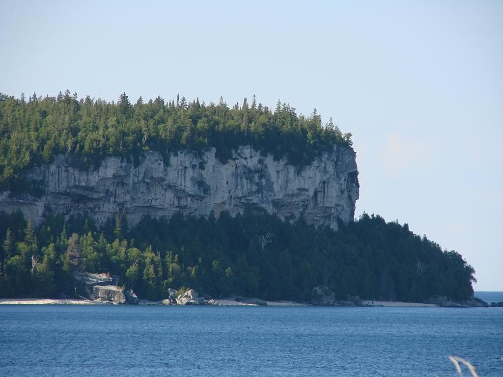
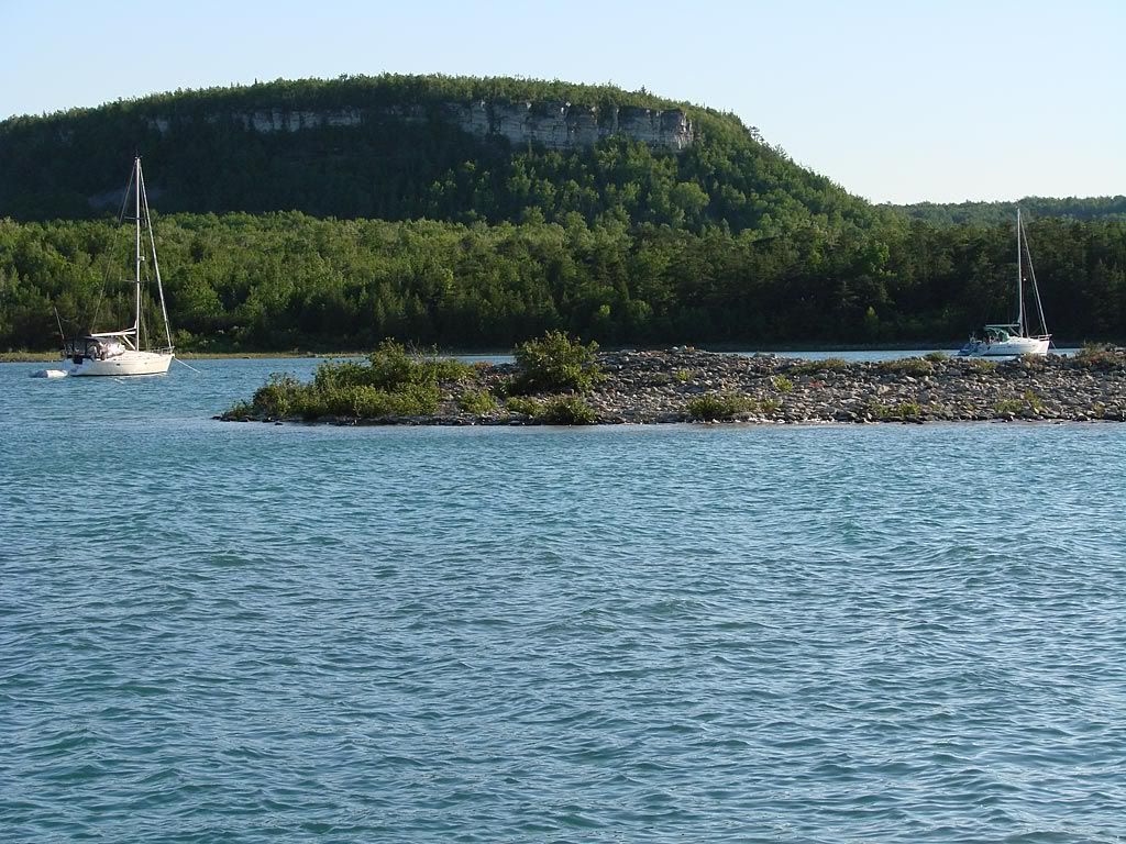
The wife and I go up there quite a bit during the summer. We come up via highway 21, then hit the 13 and then east on Redbay road to the 6. Did you get to check out the Bruce National park, or the parks little sister the Singing Sands on the west side of the 6, it's down Dorcus Bay road? If not check it out sometime, it's a nice area.

It's ironic that you were in the area over the long weekend, as was I, with the wife and dog.

Here we are on our property camping.
326620048_JQmrB-S.jpg


This is old pine tree road....I think...
326626605_4iGVC-S.jpg


These next two spots should/may look familiar to you.
326646540_fXdfJ-S.jpg


326613993_4KVNX-S.jpg


These are from Singing Sands. A couple were taken when we were up there in June. The second shot gives you an idea of how far out you can walk from shore.
314867460_iA4wn-S.jpg


309055324_hhgd2-S.jpg


326708504_YpHsV-S.jpg


If you're ever in the area again fire me a PM, I know of a few spots you may like to check out.
 
Last edited:

AlekG

Adventurer
Thanks !!

I noticed various people walking WAY out there, and even over to what I believe used to be an island. I will compare notes when working on my Google maps.
 

4307

Adventurer
Hey Alek. The pics look great! :safari-rig:
Nice to meet you at National 4WD's garage sale.
Keep posting these pics, gets me motivated.
No traveling for me right now, just a lot of welding and grinding, my Chevy leaf springs are almost done :coffee: hopefully I'll be able to hit the dirt at the end of the month.
Were will your next outing lead you?
Later... 4307 aka Ryan.
 

AlekG

Adventurer
It was good to talk with you as well Ryan.

My next outing will either be back towards Collingwood as there are 4-5 areas starting from Hockley Valley that I have been to but not attempted because of various conditions, mostly because I was solo. I am trying to finalize a couple of "routes" that would go into my database.

Or I may head up to the area south of Dorset on Lake-of-Bays to continue exploring Sherborne Lake Rd, Pine Springs Rd, and Olde Waggon Rd. I was there last year around Labour Day but want to get some more info/pictures.

It will depend however on the build timetable which has a hard deadline for the Carlisle Truck Nationals (Pennsylvania) - Aug 8,9,10.

AG
 

4307

Adventurer
I posted my pics of Sherbourne on your other thread Georgian Bay Loop. Sherbourne lake road is really nice. There is a side trail 3/4 of the way down to the left that leads to Glennies pond, that is were I put a nice spiral on my rear drive shaft, it's tight unmaintained road with amazing scenery. I have gone as far as Glennies but the trail continues. When we were exploring the trail we came across a small black bear in the middle of the road and a bull moose feeding in the swamp. Its a great place to explore.
I wanted to explore more but the truck needs upgrades with clearance.
 

Forum statistics

Threads
185,995
Messages
2,880,651
Members
225,705
Latest member
Smudge12
Top