ttora4runner
Expedition Leader
Thanks to a screw up on my part I had requested an extra day off from work that I didn't intend to take but since I had it I wasn't going to waste it (caught a few days before hand). Not being too familiar with Utah and it's trails I was originally planning to hit a national park in the area that I know: Bryce Canyon, Zions NP, Moab – Arches NP,F Flaming Gorge and Grand Teton NP all came to mind) and do some hiking or mountain biking.
Cruiseroutfitter (Kurt) had recommend that I hit up a portion of the Pony Express Trail system here in Utah. I had known about the trail since seeing a sign for it while out at 5-Mile Pass R.A. but had completely forgotten the trail. After some consideration I decided to run the trail since it was closer than the above mentioned areas and it was an area I hadn't been before. So after a late start (had to take care of something with my new employer)I was headed out.
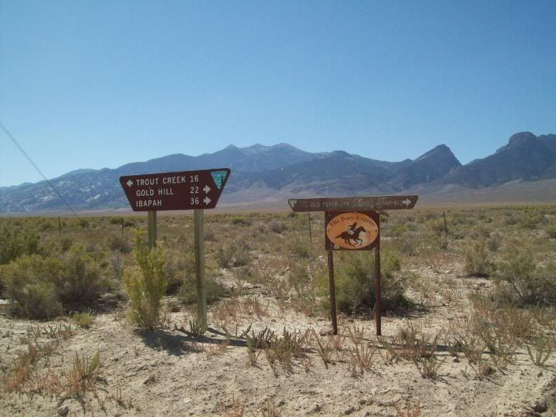
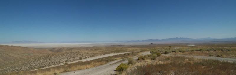
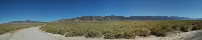
The trail can either be accessed just north of Ibapah, Utah or by taking the turn-off at the 5-Mile Pass RA. Unless, your coming from the Nevada side I'd recommend that you start at Fish Creek/Vernon area just west of 5-Mile Pass. There are other turnoffs to access portions of the trail though-out but they are kind of remote. I opted to start at the Fish Creek/Vernon Area. The first marker for the Pony Express trail is located at the intersection of HWY 36 and Faust Road then after a quick jaunt just south of it the trail itself beings and the adventure begins.
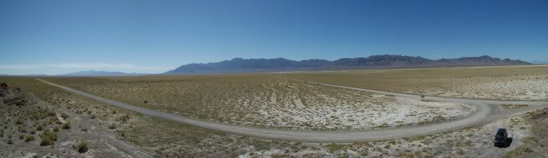
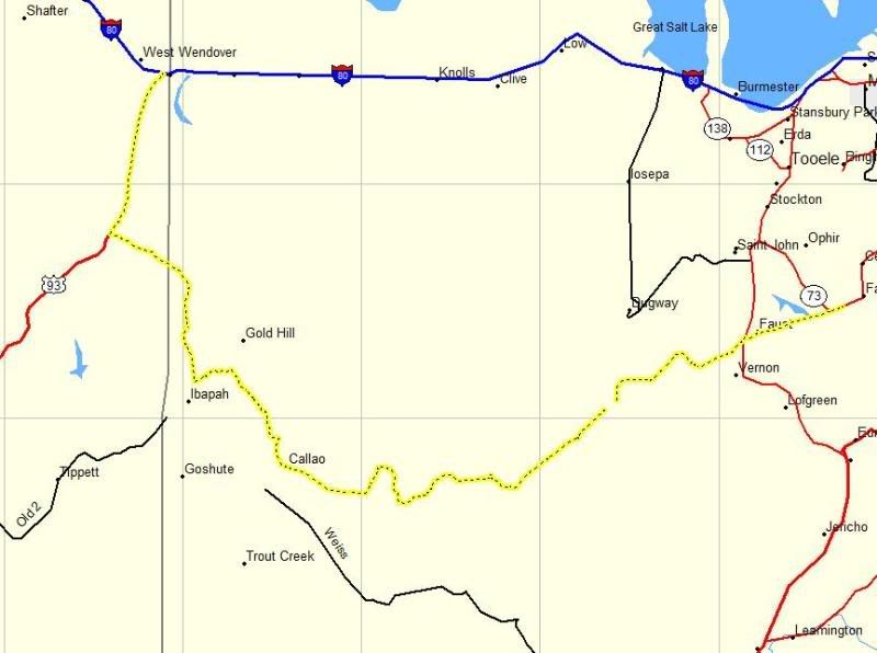
This time around I wanted to try something a little different when documenting my trip. The plan was to mark way points (highlighted in yellow) on my GPS as I traveled and when I came to a road intersection, a point of interest or a Pony Express Trail marker I would mark the point and then take a photo of the area. My intention was to give a sense of the area from those locations instead of taking random photo's along the way and then trying to describe where those were at.
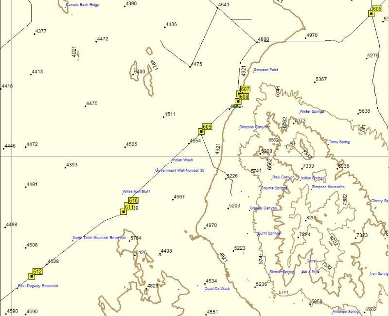
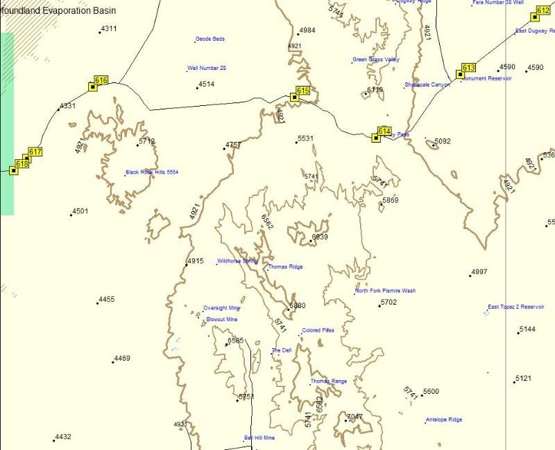
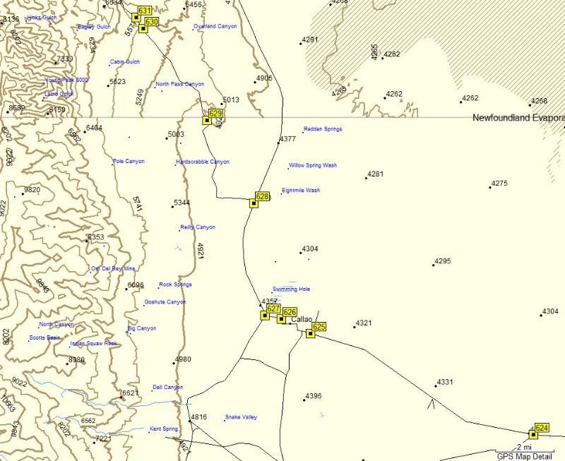
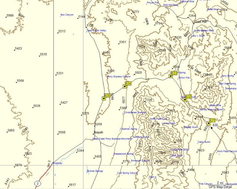
Broke out my GPS map into separate maps for ease of viewing:
Map 1
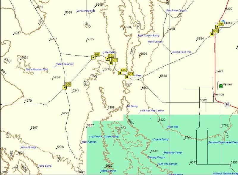
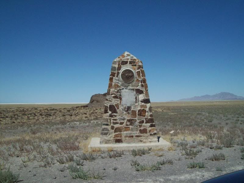
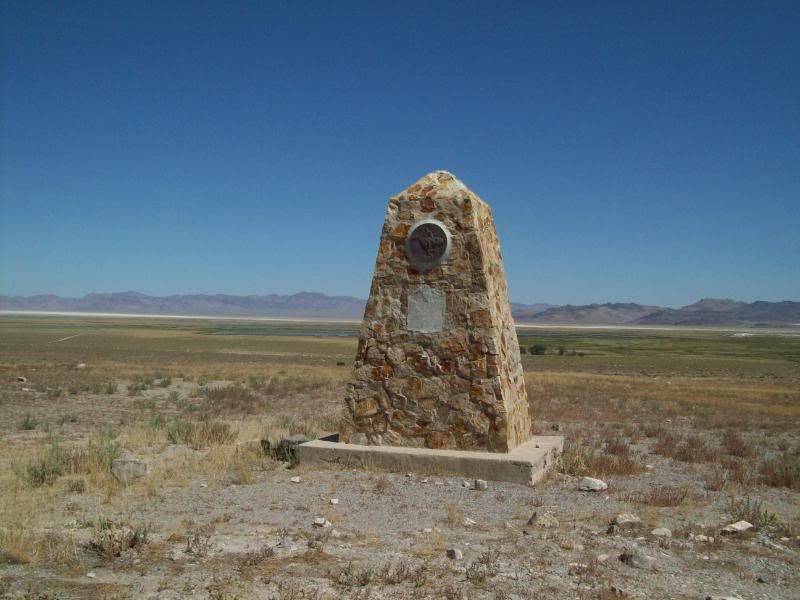
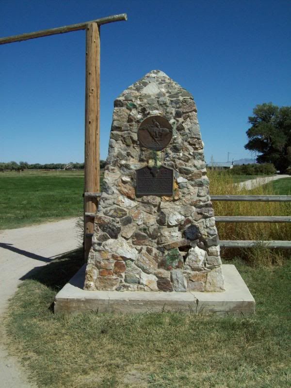
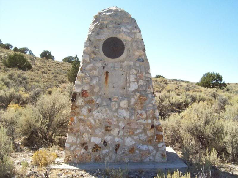
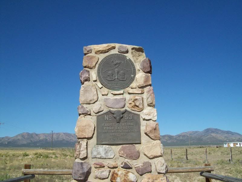
598 – First Pony Express Marker: No. 53 Faust Station
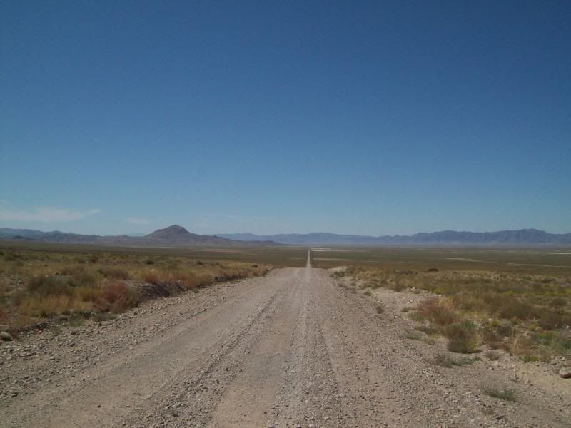
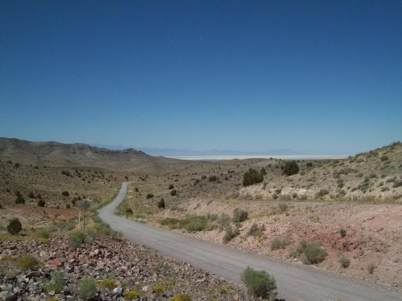
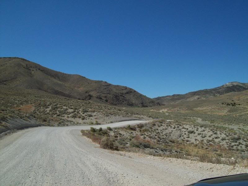
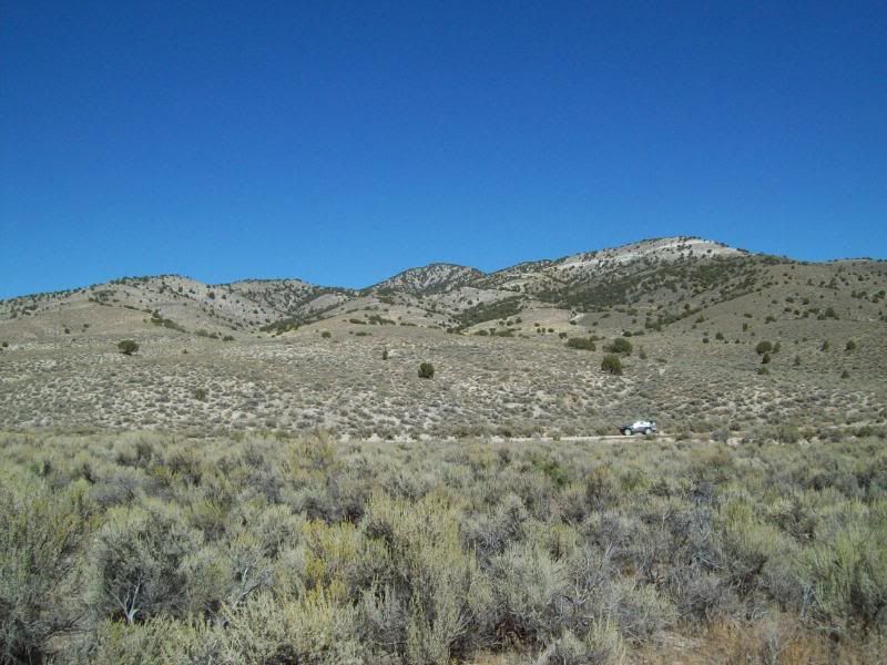
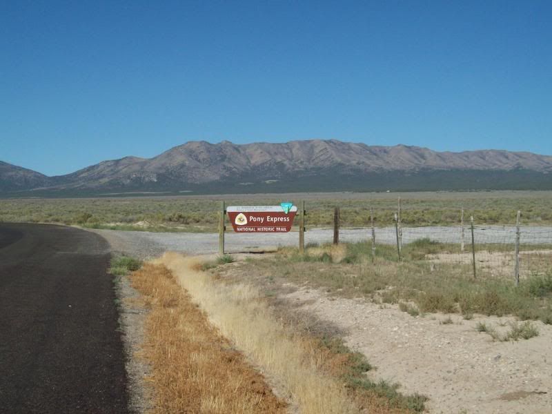
600 – Trail Starts
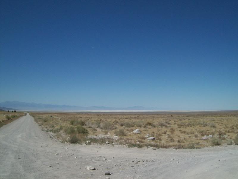
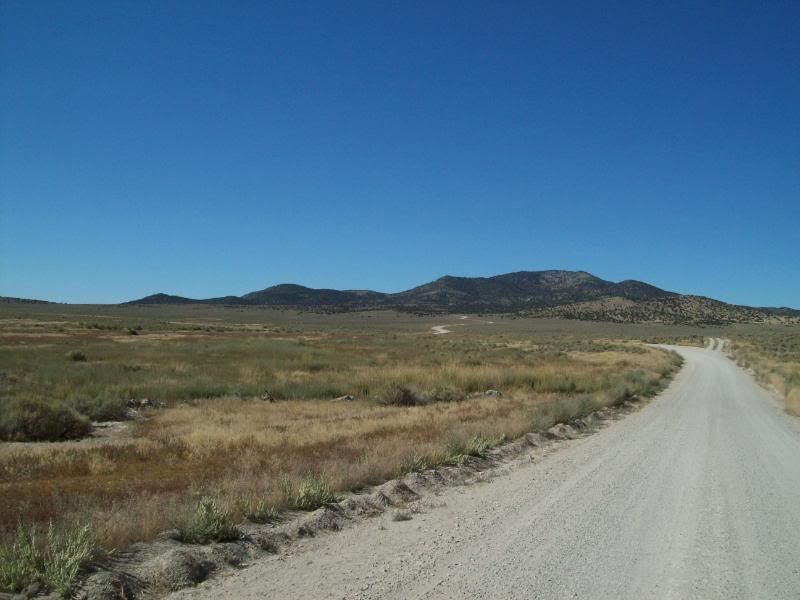
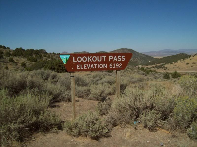
601 - Lookout Pass
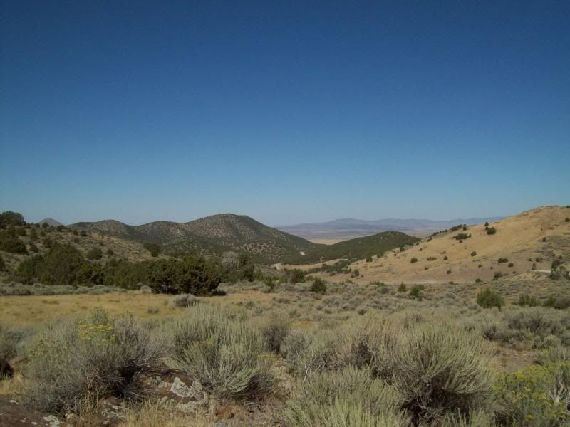
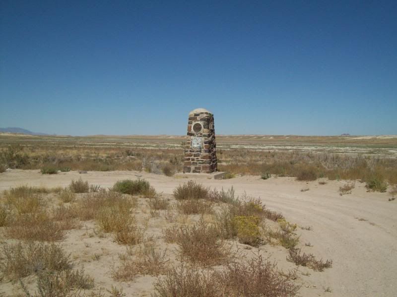
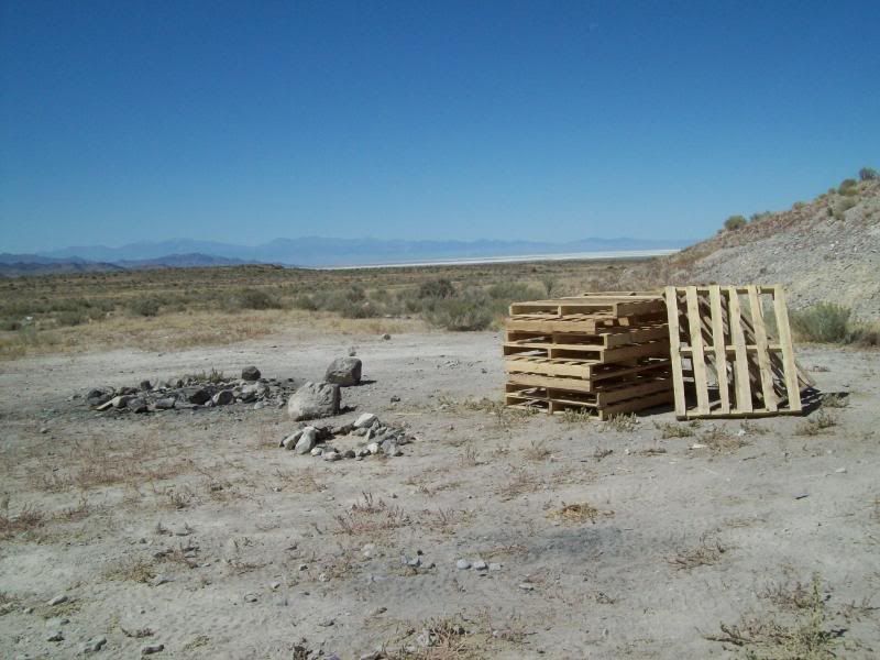
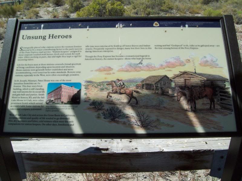
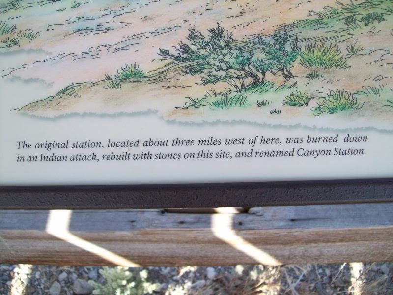
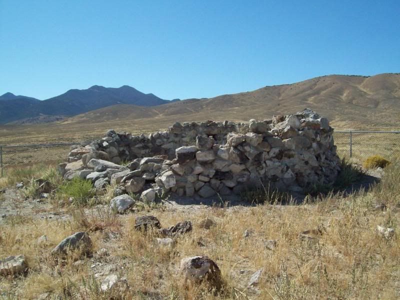
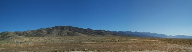
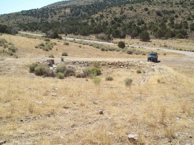
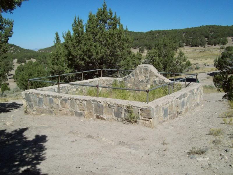
602 – Lookout Pass Station and Cemetery
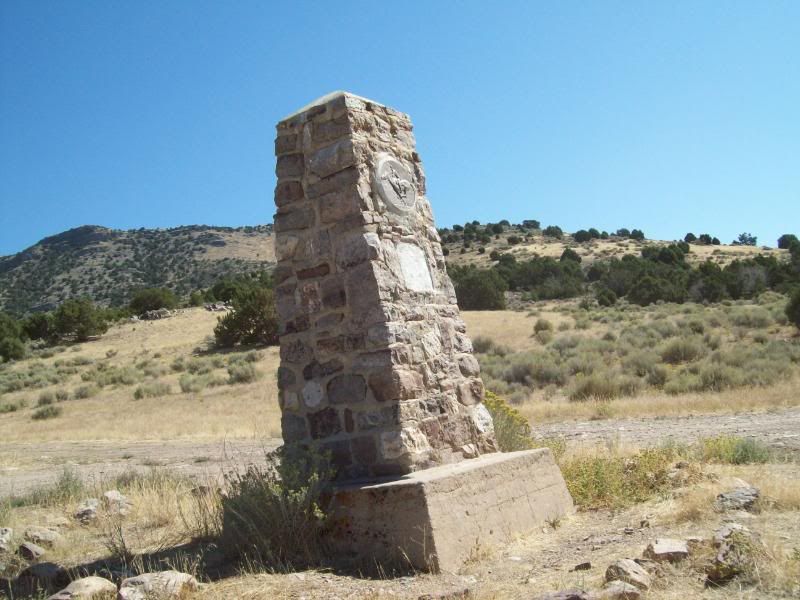
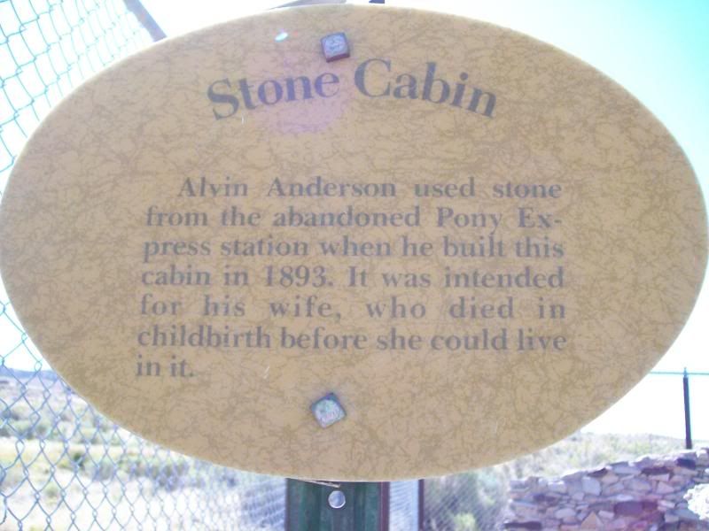
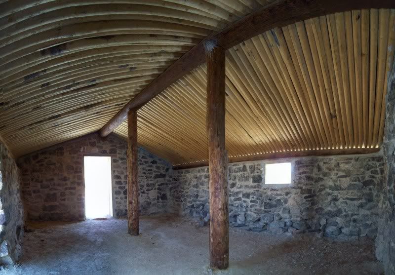
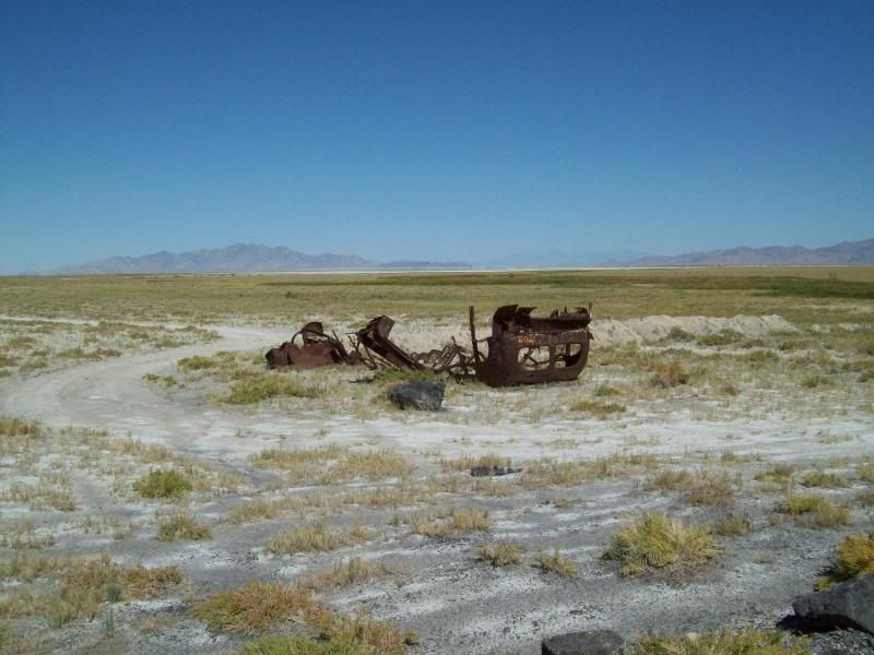
Remains of the building once here:
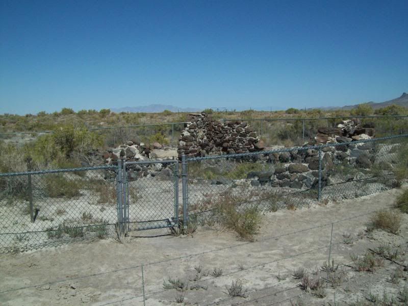
The cemetery – a dog a few people are buried here (correct me if I'm wrong)
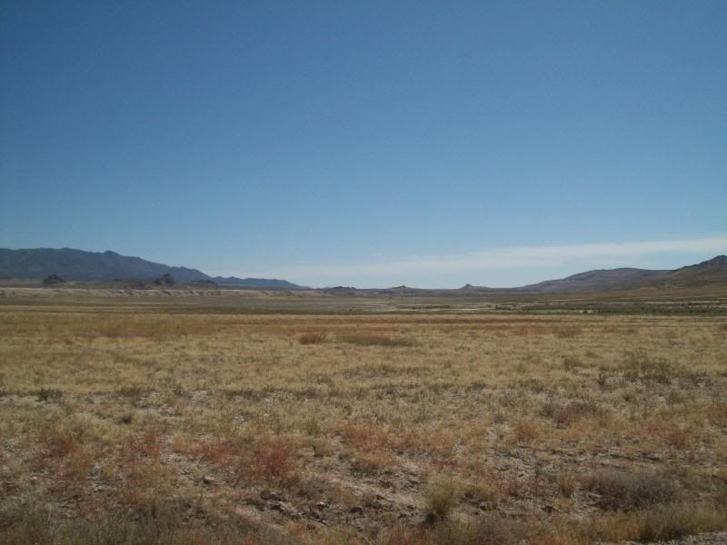
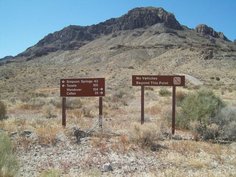
603 – Little Valley Turnoff
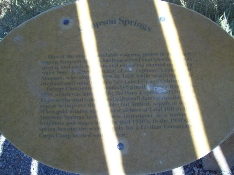
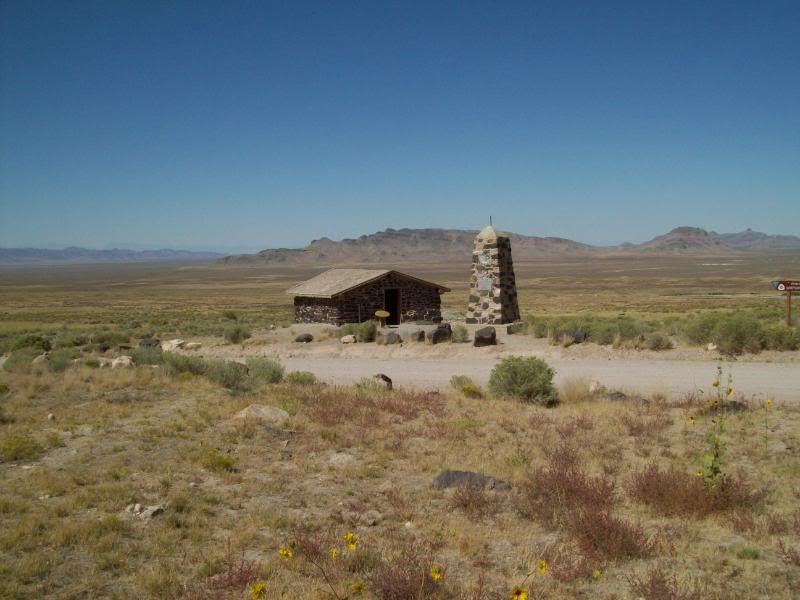
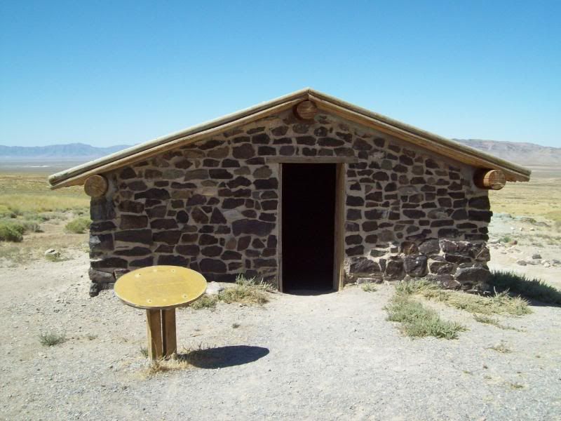
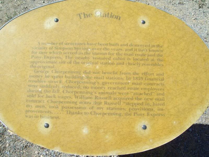
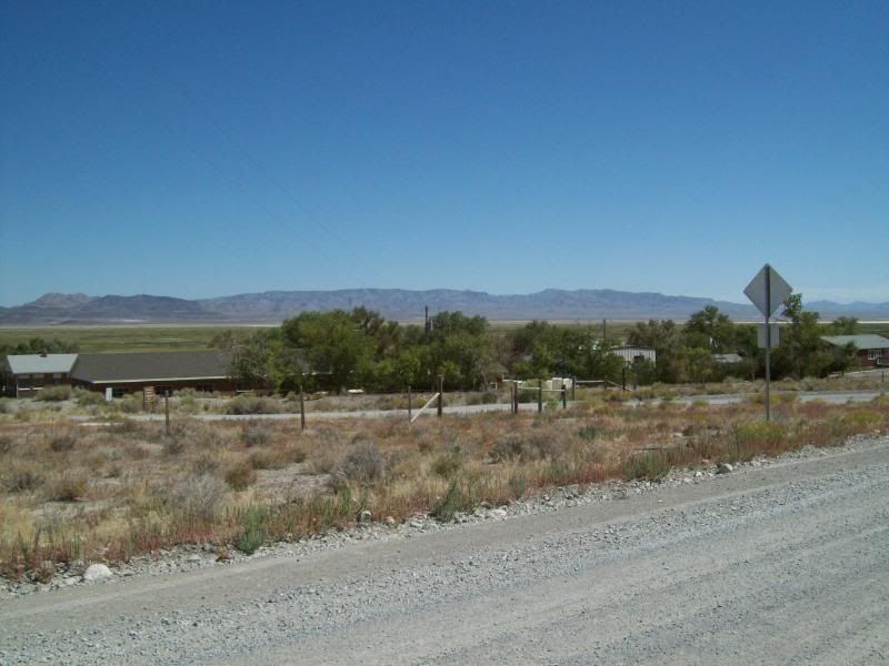
604 – Terra and Simpson Springs/Pony Express Trail Junction
605 – Dugway and Simpson Springs/Pony Express Trail Junction
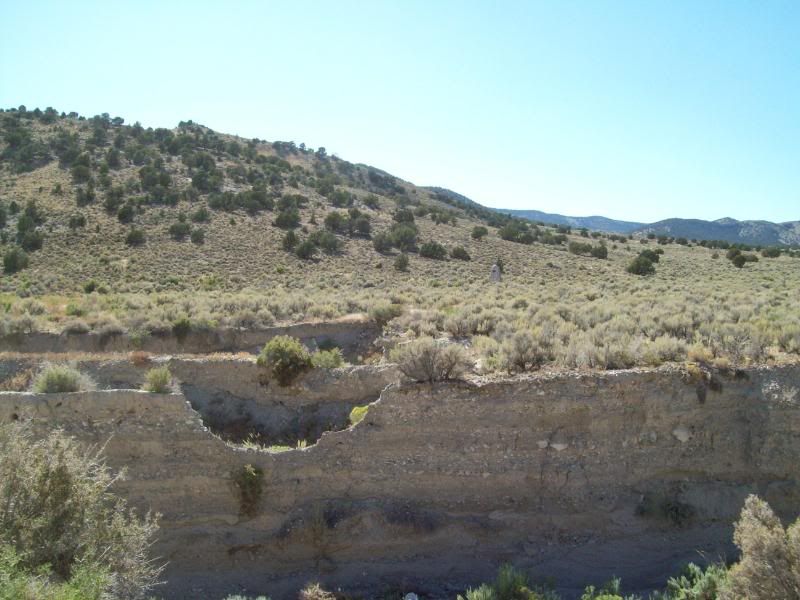
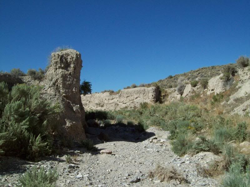
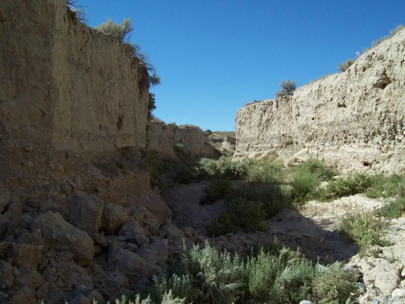
606 – Dugway and Erickson/Pony Express Trail Junction
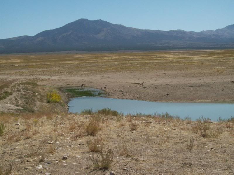
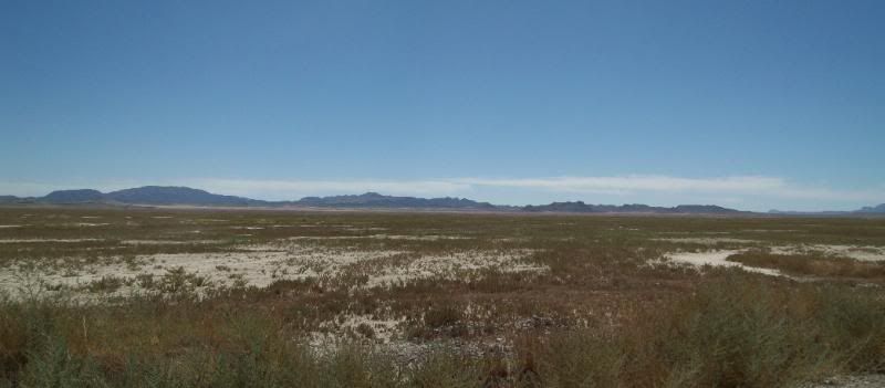
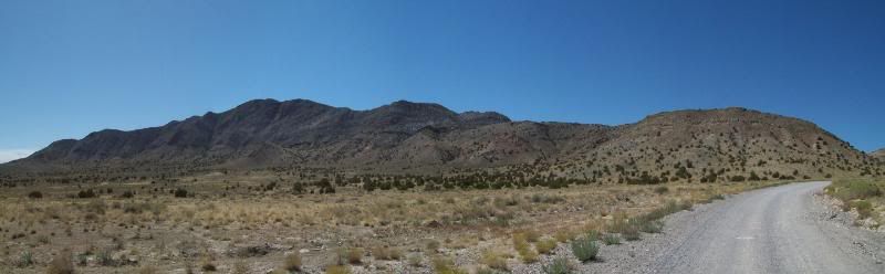
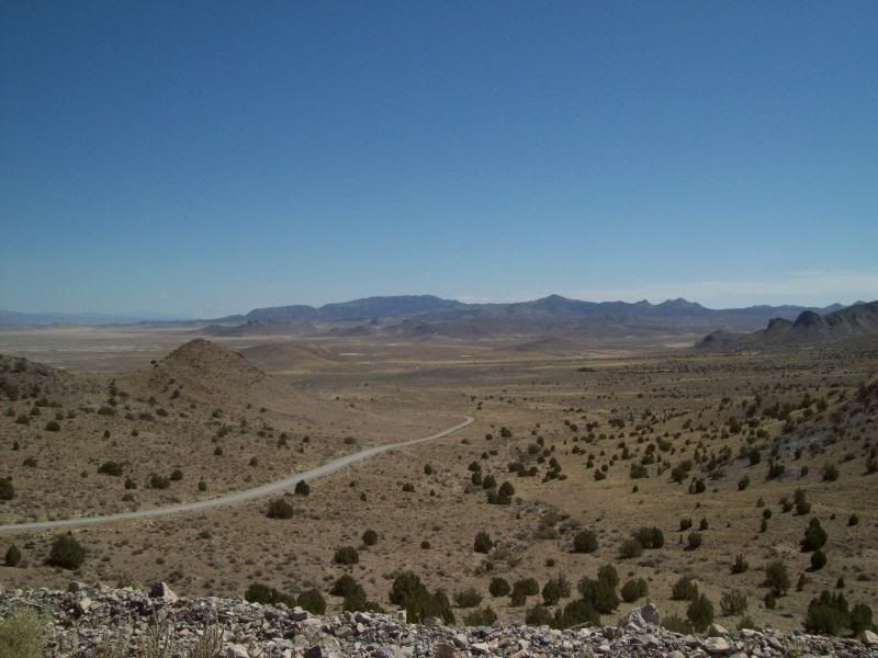
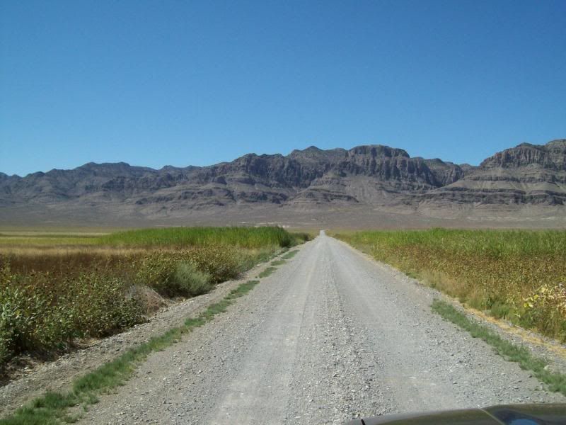
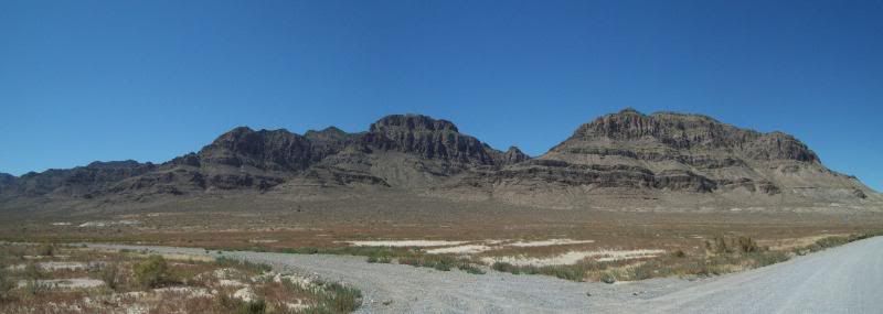
Between waypoints 603 and 607
Cruiseroutfitter (Kurt) had recommend that I hit up a portion of the Pony Express Trail system here in Utah. I had known about the trail since seeing a sign for it while out at 5-Mile Pass R.A. but had completely forgotten the trail. After some consideration I decided to run the trail since it was closer than the above mentioned areas and it was an area I hadn't been before. So after a late start (had to take care of something with my new employer)I was headed out.
The trail can either be accessed just north of Ibapah, Utah or by taking the turn-off at the 5-Mile Pass RA. Unless, your coming from the Nevada side I'd recommend that you start at Fish Creek/Vernon area just west of 5-Mile Pass. There are other turnoffs to access portions of the trail though-out but they are kind of remote. I opted to start at the Fish Creek/Vernon Area. The first marker for the Pony Express trail is located at the intersection of HWY 36 and Faust Road then after a quick jaunt just south of it the trail itself beings and the adventure begins.
This time around I wanted to try something a little different when documenting my trip. The plan was to mark way points (highlighted in yellow) on my GPS as I traveled and when I came to a road intersection, a point of interest or a Pony Express Trail marker I would mark the point and then take a photo of the area. My intention was to give a sense of the area from those locations instead of taking random photo's along the way and then trying to describe where those were at.
Broke out my GPS map into separate maps for ease of viewing:
Map 1
598 – First Pony Express Marker: No. 53 Faust Station
600 – Trail Starts
601 - Lookout Pass
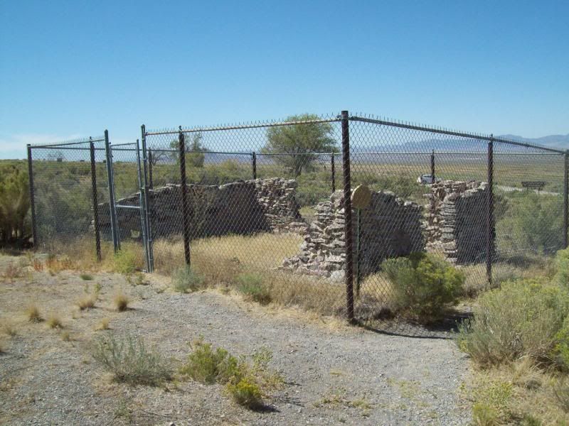
602 – Lookout Pass Station and Cemetery
Remains of the building once here:
The cemetery – a dog a few people are buried here (correct me if I'm wrong)
603 – Little Valley Turnoff
604 – Terra and Simpson Springs/Pony Express Trail Junction
605 – Dugway and Simpson Springs/Pony Express Trail Junction
606 – Dugway and Erickson/Pony Express Trail Junction
Between waypoints 603 and 607
Last edited: