Trail 001 - Great Western Trail 8/7/10

ttora4runner

Expedition Leader
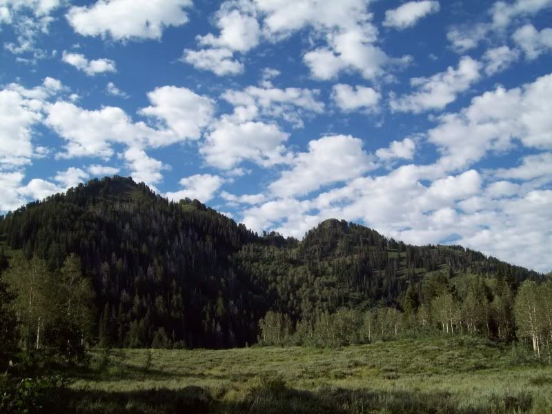
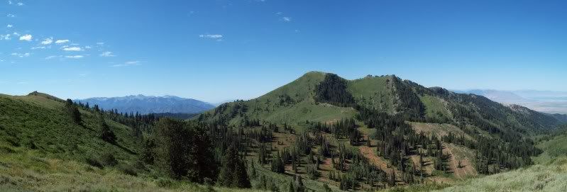
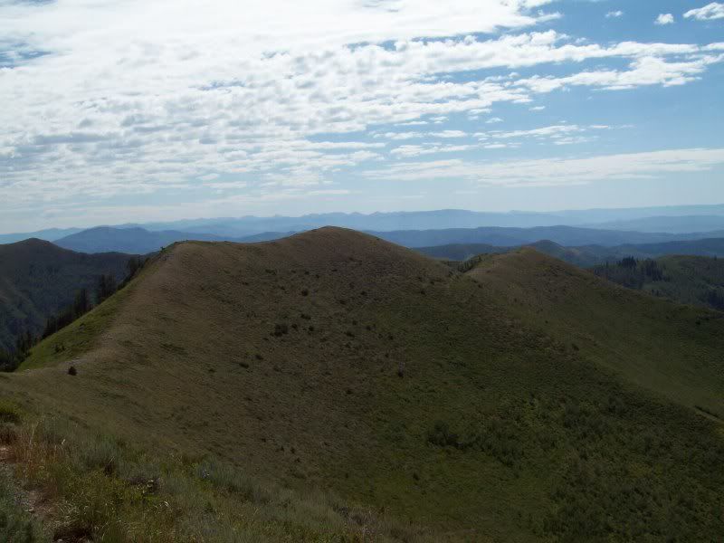
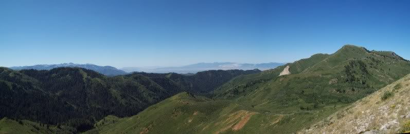
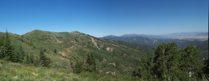
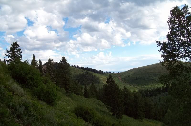
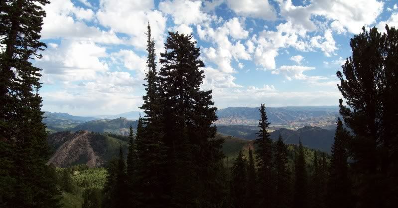
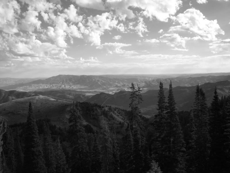
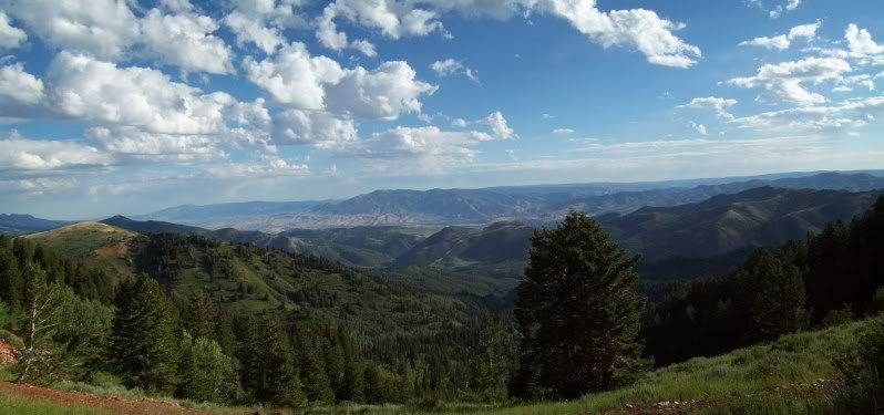
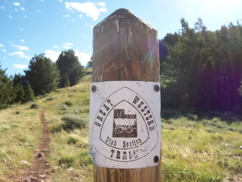
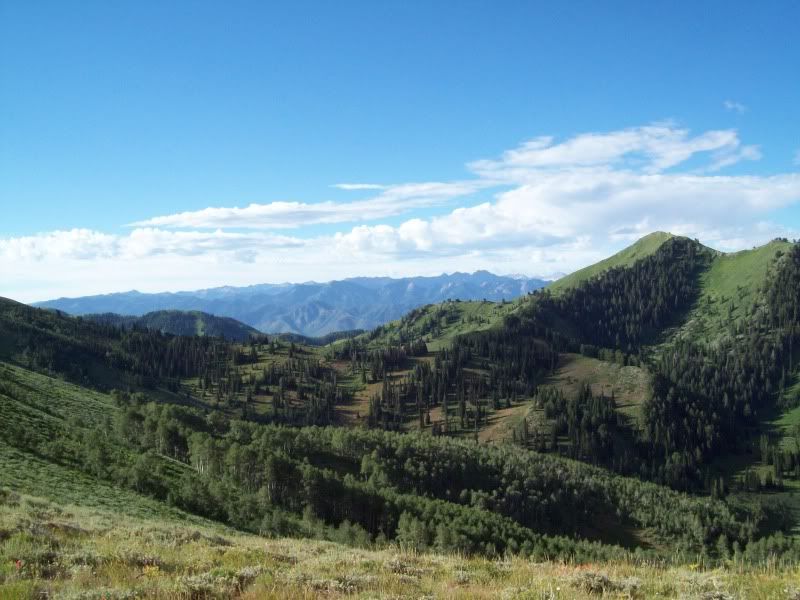
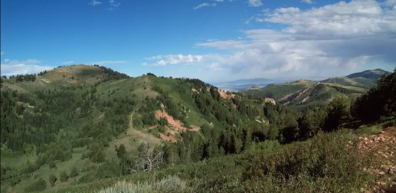
On Saturday (8/7/10) I decided it was time to go a explore another part of the Great Western Trail here is Utah. The trail starts at the south end of Skyline Drive just east of Bountiul and winds it way up to a number of overlooks into Salt Lake, Davis and Morgan County. The trail starts out in the pines then wonders though a short section of aspen trees then back into the pines and finally into some grass lands.

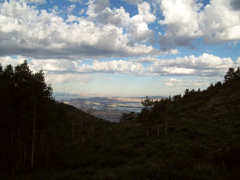
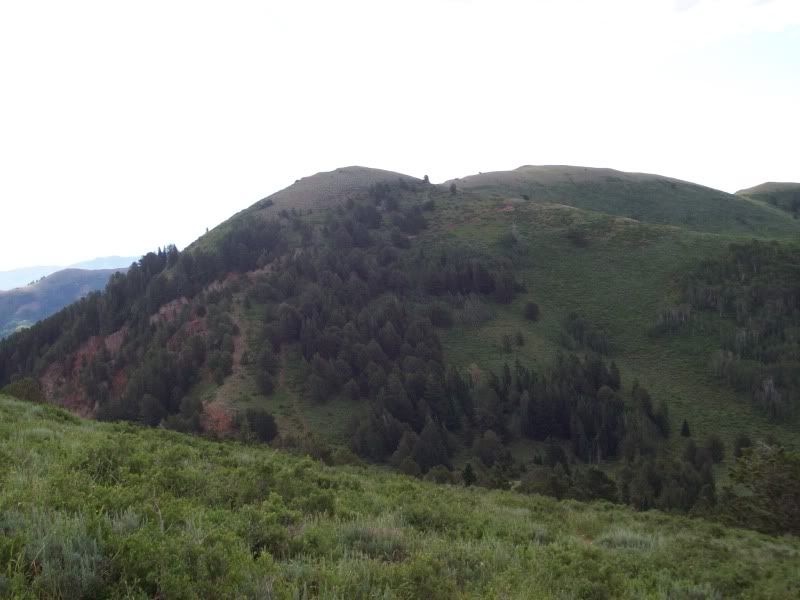
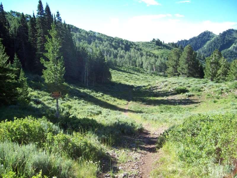
At one point the trail split offs in two one goes up the mountain and the other goes down into a basin but has a no trespassing sign posted. So I opted to head up the mountain but turned back about a 1/2 mile in as the trail started to get a little more overgrown with grasses. It could still be seen but it was kind of difficult.

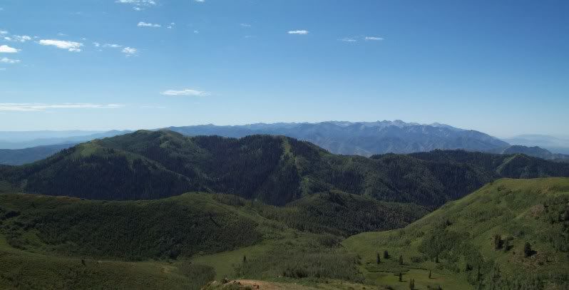
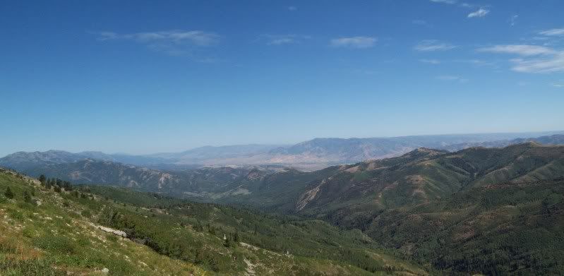
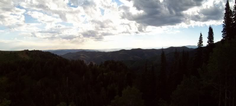
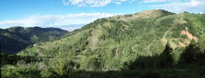
Figured the total hike was maybe about 4 miles (2 in and 2 out), maximum elevation that my GPS showed was about 9039 ft.

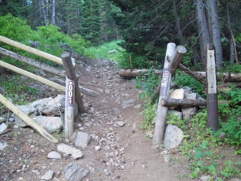
Trail Head about 7:48 am
100_3250.jpg


100_3252.jpg


The road that you must go down to get to the trail head
100_3255Stitch.jpg


100_3259Stitch.jpg


100_3274.jpg


100_3276.jpg


100_3284.jpg


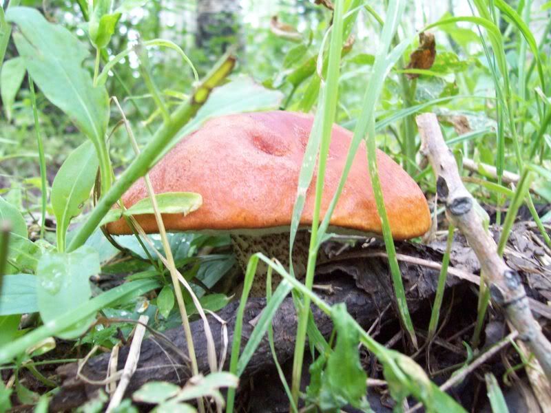
What type or mushroom is this?
100_3287.jpg


100_3292.jpg


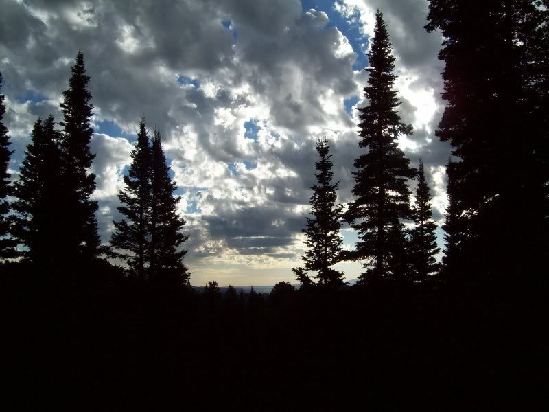
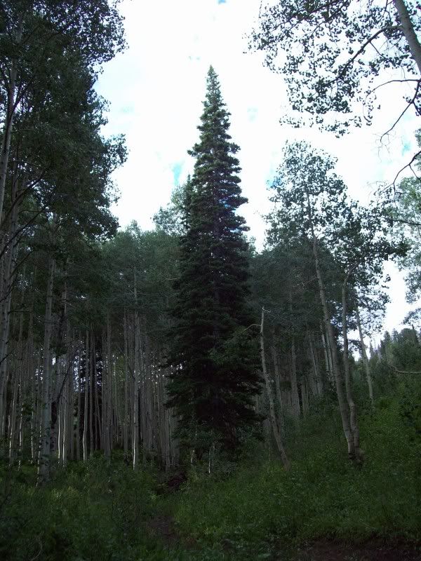
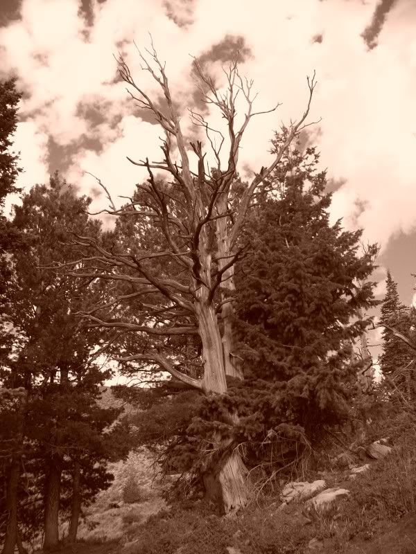
A little overexposed but still looks kind of cool
100_3297.jpg
 
Last edited:

ttora4runner

Expedition Leader
100_3305Stitch.jpg


Playing around with the camera
100_3308.jpg


100_3319.jpg


The trail in which I would ultimately end up hiking up
100_3321.jpg


Came down the trail to a private property and this sign
100_3326.jpg


If I understood the sign right the public still has access to the trail under the co-op (posted in 3 spots). So I continued on

100_3327Stitch.jpg


100_3353.jpg


Wish I knew where this way went, didn't go pass this point though the trail continued on that way
100_3354.jpg


100_3336Stitch.jpg
 
Last edited:

ttora4runner

Expedition Leader
100_3344.jpg


100_3349.jpg


100_3368.jpg


Still some snow on the back side of mountain in the distance
100_3344.jpg


The trail I just came down (middle of the photo). After I took the photo I continued on for a little until the trail started to get a little over grown as noted above. I didn't really take any photo's on the return journey.
100_3350Stitch.jpg


I didn't see another person on the trail till I was coming back towards the start of the trail and a saw a number of deer (2 fawns, 5 doe's and 1 five point buck) from the time I hit the gravel road till I made it to the Great Western Trail sign.

Over all the trail wasn't too bad of a hike and weather was great besides a nice cool breeze. I'm wanting to go back up there and find out how much further the trail goes (anyone want to go :sombrero:).
 
Last edited:

wjeeper

Active member
Came down the trail to a private property and this sign
100_3326.jpg


If I understood the sign right the public still has access to the trail under the co-op (posted in 3 spots). So I continued on

I actually talked with a ranger about the trail in great length when I was camping near the trailhead a month or so ago............

The public still does have full access the trail. The trail evidently crosses over several tracts of private land and for some reason or another some of the owners does not acknowledge the easements that exist. Apparently it is not uncommon for someone to block the trailhead by cutting down trees or destroying the signs (when I was there the sign was pretty tattered and the trail was blocked by a felled tree) There is a old structure of some sort on private property that the snowmobile crowd uses as a warming shelter and the ranger indicated that this was large part of the friction in the area about the trail...........but he assured me that the trail is 110% legal

The Great Western Trail starts at the Canada border in Montana and ends in Arizona at the Mexican border. The Utah section of trail starts just west of Bear Lake and ends up near Paige Az.

I have always wanted to hike this section of trail (being from Bountiful and all) and see where it goes. PM me sometime and maybe when I am back in B-town we could go and hike it one weekend.
 

ttora4runner

Expedition Leader
Part 2: 8/15/10

Went back today with "iceaxe" and hiked some more of the trail today. Covered a little over 9 miles (about a mile of that was us getting lost temporary, stupid map) and the weather couldn't have been better (nice cool breeze and not a cloud in the sky :victory:)

Pictures later. :sombrero:
 
Last edited:

ttora4runner

Expedition Leader
Just a couple of photos (not the greatest)

100_3371.jpg


100_3373.jpg


100_3379Stitch.jpg


100_3380Stitch.jpg


100_3383.jpg


Can you spot the trail in this photo (look below the ridge line).
100_3382.jpg


100_3391.jpg


100_3404Stitch.jpg
 

Forum statistics

Threads
189,096
Messages
2,912,909
Members
231,682
Latest member
YaRiteZ71
Top