turbodb
Well-known member
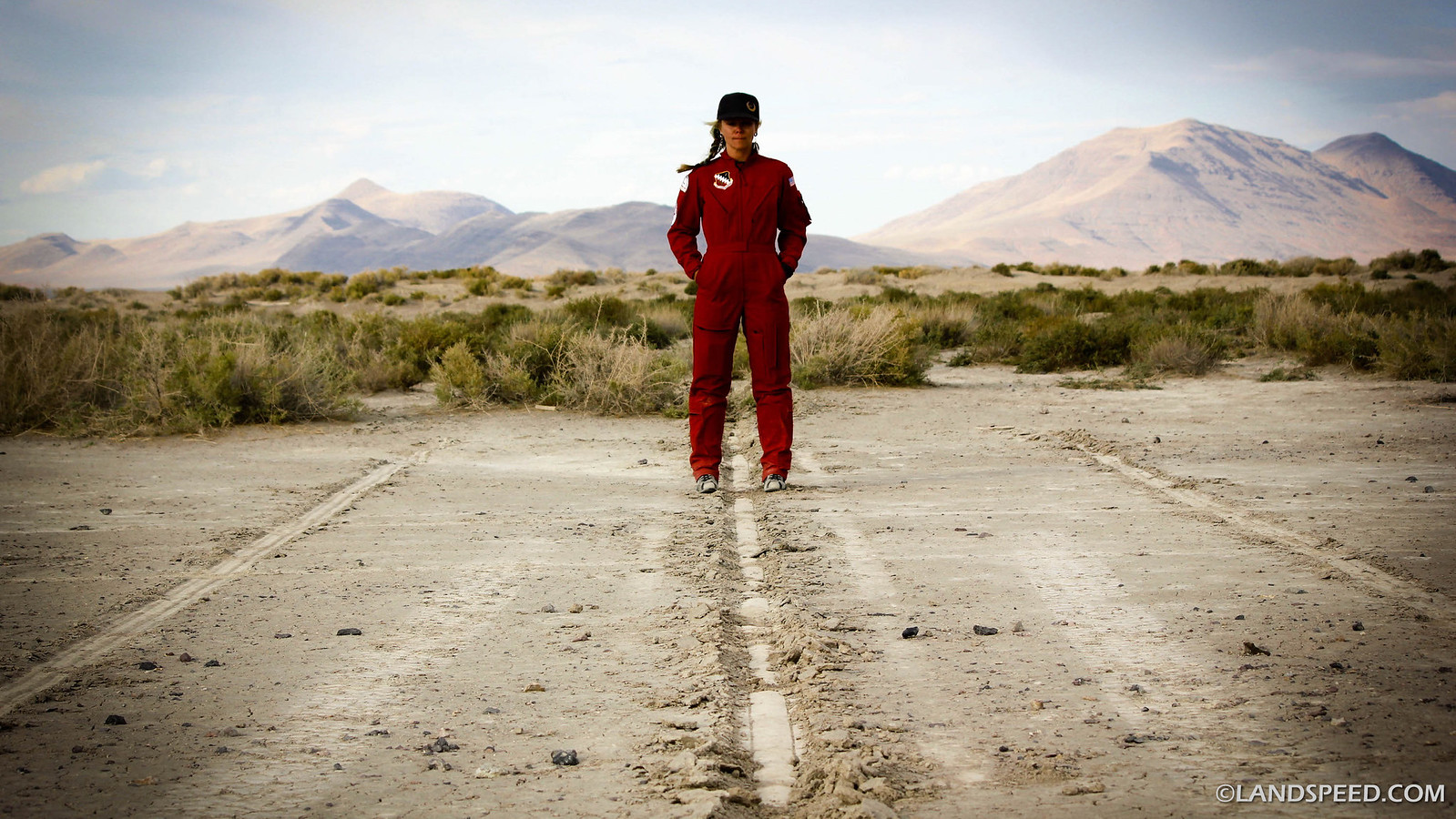
#1 - Hiking Steens Mountain
I was stir crazy.
I'd been back from our didn't-go-quite-as-planned trip to Colorado for two weeks and it was time to get out again. And this time I wanted it to be with @mrs.turbodb. Knowing that she'd be unable to resist a trip back to the Alvord Desert - and for our first time, Steens Mountain - I knew that would be our destination.
It'd be a relatively short trip - four days total - but I figured that even at that, we could do a couple things we'd wanted to do for quite some time:

The miles continued to tick away as the sun rose into the blue sky and after a couple more hours we reached Mt. Hood itself, climbing up over the pass with it towering above.

Then - something we'd never seen before. As we drove through the area of Oregon near Madras, it became clear just how cold it was outside. To prevent freezing of their equipment, many ranchers had left their irrigation systems running. And the results were spectacular - the bright green grass encased in thick ice!


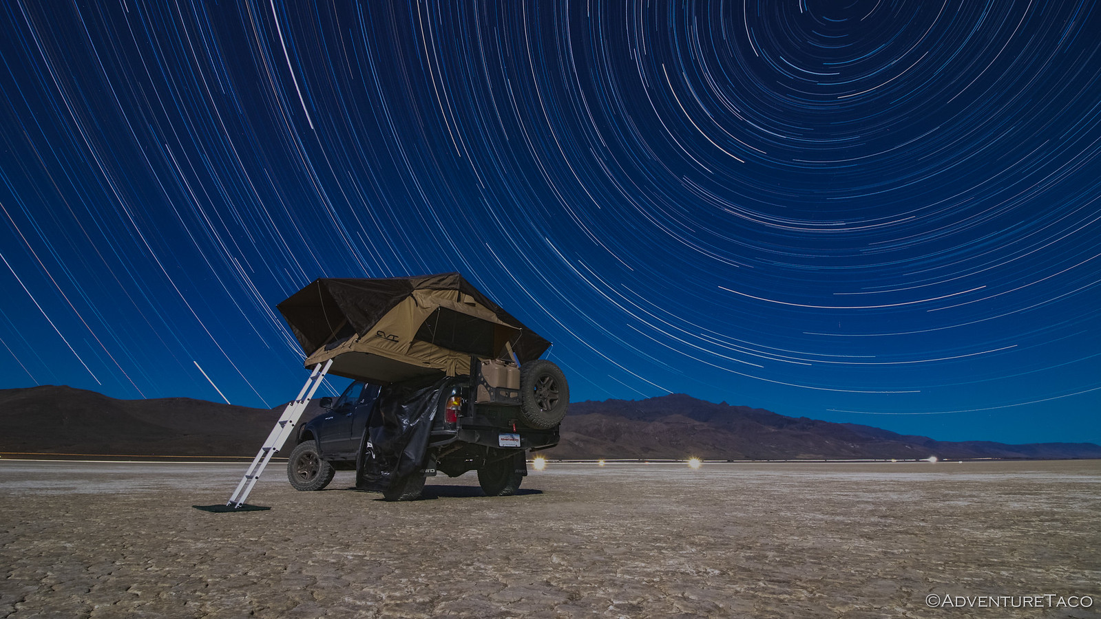
I don't know about @mrs.turbodb, but it was about now that I started wondering if we were crazy. Though the weather was forecast to be dry while we were in the Alvord, temps were projected to be in the high-teens to low-twenties at night.
I didn't mention it, and just continued driving.
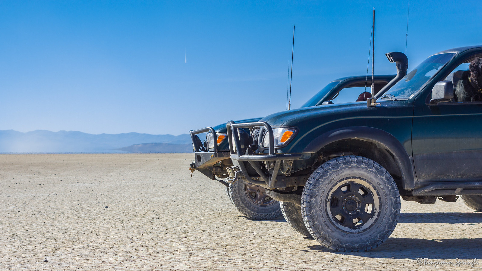
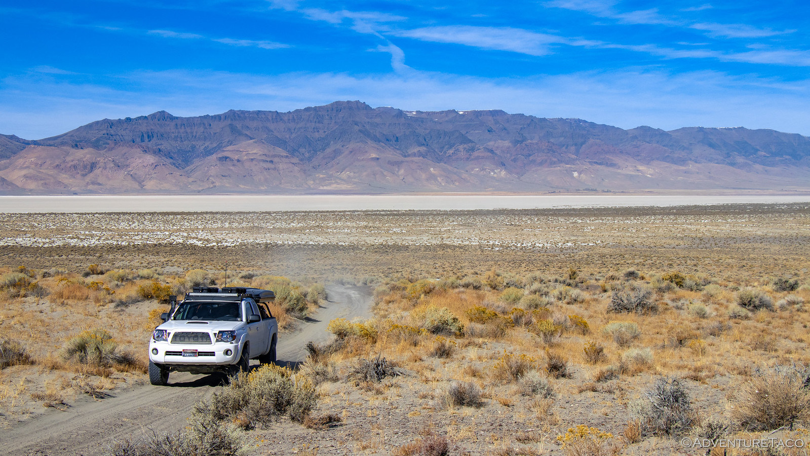
After a stop for lunch and a couple more for fuel, we eventually arrived in the Alvord Desert a little before 4:00pm in the afternoon. Perfect timing for our first unfinished business - we wanted to hike Pike Creek. We'd attempted this on our last trip, but the water level in the creek had been high enough that we were unable to cross...and being too lazy to wade across bare foot, that had been the end of that.
We hoped as we headed up the short road to the trailhead that the same wouldn't be true today.

As we reached the trailhead and parked, we also had the chance to take a closer look at a tree I'd noticed the last time we were here, but also didn't investigate since there was already a camper parked in the spot. This tree is growing out of a crack in the middle of a small-house-sized granite boulder, and has been for decades. Nature truly is amazing.


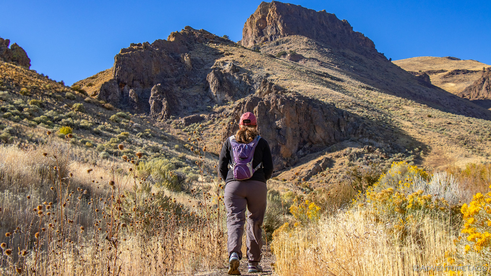
Clearly, I was already amazed before we even started the hike - I'm easily entertained, I guess. At any rate, we made our way across the now-very-low-creek, and started up the trail - the views in front of us starting to get a bit shady; the playa behind us a brilliant gold.


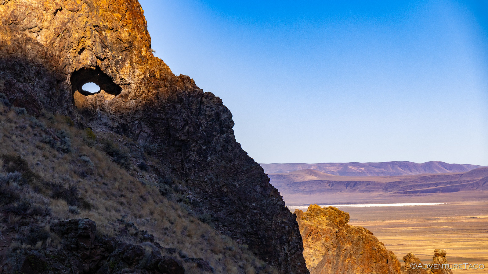
An astute viewer may have noticed that we also had a cool view through a small tunnel in the ridge opposite us in the photo above. That small tunnel that turned into two(!) as we made our way a bit further up the trail. And you guessed it, I was once again entertained. Definitely a set of tunnels I'd love to go climb through in the future.

We continued up the trail, now excited for the next bit of entertainment, which @mrs.turbodb had related to me from her trusty book, 100 Hikes / Travel Guide: Eastern Oregon - a wilderness boundary sign, a dynamite shed by a cliff, and the entrance to a uranium mine. And who doesn't want to get up close and personal with some uranium? I for one couldn't wait to walk into an old mine shaft surrounded by the stuff.
At a little over 1 mile, we found the first two landmarks easily. I mean, they were right next to each other.


Finding the mine was a bit more tricky. First, we stumbled upon some old rail lines - likely from the ore cars that were used to move material off the mountain. Buried in 2 feet of dirt, I initially thought we might be able to follow them to the source, but decades of erosion meant that the rest of the lines were hidden for good.
Eventually though we found ourselves scrambling a good way up the side of the mountain and towards what appeared to be the opening of the mine shaft - we'd found it!
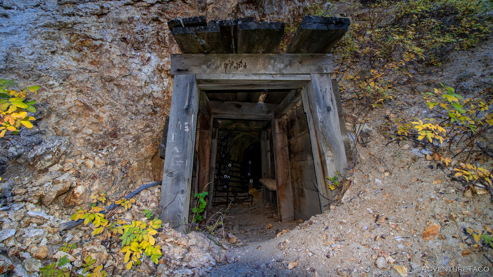
It was a small opening - no more than 4 feet tall - but to our surprise, it was in reasonably good shape. See, we'd expected that it would have collapsed after all these years, but in fact, it was just the contrary - even as I took flash photos into the shaft, I couldn't see the back wall.


Throwing all caution - and perhaps any future @mini.turbodb's - to the wind, I ventured in. The shaft continued south for 50 feet or so, with a easterly branch splitting off near the end and heading another 30 feet into the mountain. I decided not to explore that branch, instead opting to make my way back out. You know, no reason to push my luck.

Back out in the open air, I'm sure there was a new glow to my presence that hadn't been there just a few minutes before. I asked @mrs.turbodb if she wanted to go take a look, but she's a smarter cookie than me and opted to see the photos instead.
We continued on. From here, the trail crossed the creek again and headed up the other side of the ravine. A few switchbacks made this easier than if we'd gone straight up, and we made quick work of the elevation gain. Nearing the crest of the trail we kept our eyes peeled for thundereggs - fist-sized, red rock nodules on the slope. Rockhounds have cracked many of these open in search of quartz crystals or the colorful jasper and many have been carted off over the years, leaving only the worst of the bunch for us to admire before heading back.
They did look weird though. And it's a good thing I didn't get to name them - I'd have called them volcano poops.
Don't miss the rest of the story, and all the remaining photos that don't fit here (due to max post size). Hopefully that can change in the future, but until then...
.
I was stir crazy.
I'd been back from our didn't-go-quite-as-planned trip to Colorado for two weeks and it was time to get out again. And this time I wanted it to be with @mrs.turbodb. Knowing that she'd be unable to resist a trip back to the Alvord Desert - and for our first time, Steens Mountain - I knew that would be our destination.
It'd be a relatively short trip - four days total - but I figured that even at that, we could do a couple things we'd wanted to do for quite some time:
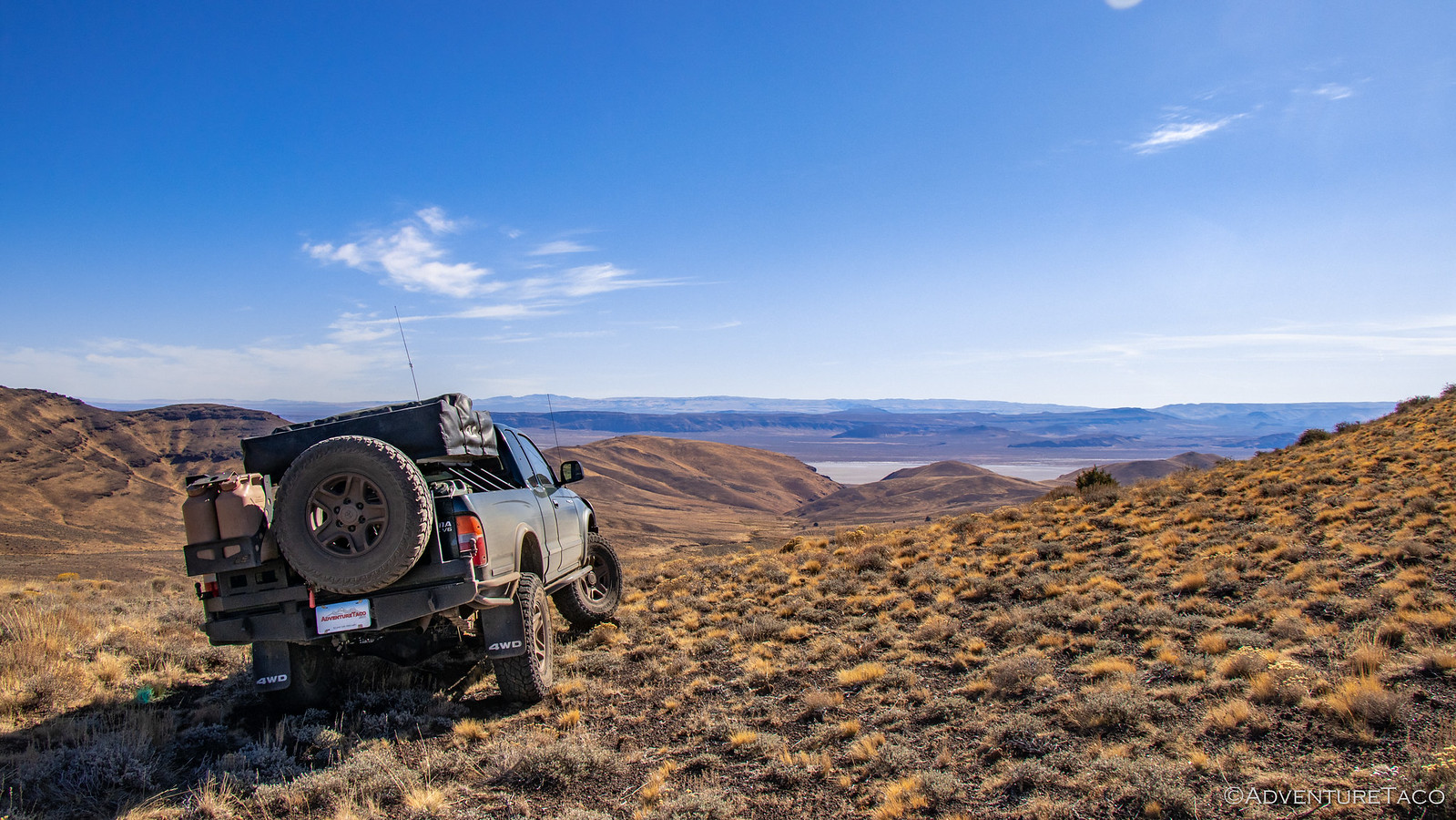
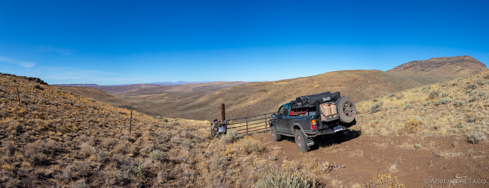
- We could get to the top of Steens Mountain, which on every previous trip has been covered in snow. The highest road in Oregon, this is something we've wanted to do for years, since we first saw it while visiting the Malheur Refuge. In fact, @mrs.turbodb mentions Steens so often that it's become a running joke.
- We could make another run at Big Sand Gap on the east side of the Alvord Playa. Because we had a score to settle from our last attempt. Not that we're hard-headed or anything.
The miles continued to tick away as the sun rose into the blue sky and after a couple more hours we reached Mt. Hood itself, climbing up over the pass with it towering above.
Then - something we'd never seen before. As we drove through the area of Oregon near Madras, it became clear just how cold it was outside. To prevent freezing of their equipment, many ranchers had left their irrigation systems running. And the results were spectacular - the bright green grass encased in thick ice!
I don't know about @mrs.turbodb, but it was about now that I started wondering if we were crazy. Though the weather was forecast to be dry while we were in the Alvord, temps were projected to be in the high-teens to low-twenties at night.
I didn't mention it, and just continued driving.
After a stop for lunch and a couple more for fuel, we eventually arrived in the Alvord Desert a little before 4:00pm in the afternoon. Perfect timing for our first unfinished business - we wanted to hike Pike Creek. We'd attempted this on our last trip, but the water level in the creek had been high enough that we were unable to cross...and being too lazy to wade across bare foot, that had been the end of that.
We hoped as we headed up the short road to the trailhead that the same wouldn't be true today.
As we reached the trailhead and parked, we also had the chance to take a closer look at a tree I'd noticed the last time we were here, but also didn't investigate since there was already a camper parked in the spot. This tree is growing out of a crack in the middle of a small-house-sized granite boulder, and has been for decades. Nature truly is amazing.
Clearly, I was already amazed before we even started the hike - I'm easily entertained, I guess. At any rate, we made our way across the now-very-low-creek, and started up the trail - the views in front of us starting to get a bit shady; the playa behind us a brilliant gold.
An astute viewer may have noticed that we also had a cool view through a small tunnel in the ridge opposite us in the photo above. That small tunnel that turned into two(!) as we made our way a bit further up the trail. And you guessed it, I was once again entertained. Definitely a set of tunnels I'd love to go climb through in the future.
We continued up the trail, now excited for the next bit of entertainment, which @mrs.turbodb had related to me from her trusty book, 100 Hikes / Travel Guide: Eastern Oregon - a wilderness boundary sign, a dynamite shed by a cliff, and the entrance to a uranium mine. And who doesn't want to get up close and personal with some uranium? I for one couldn't wait to walk into an old mine shaft surrounded by the stuff.
At a little over 1 mile, we found the first two landmarks easily. I mean, they were right next to each other.
Finding the mine was a bit more tricky. First, we stumbled upon some old rail lines - likely from the ore cars that were used to move material off the mountain. Buried in 2 feet of dirt, I initially thought we might be able to follow them to the source, but decades of erosion meant that the rest of the lines were hidden for good.
Eventually though we found ourselves scrambling a good way up the side of the mountain and towards what appeared to be the opening of the mine shaft - we'd found it!
It was a small opening - no more than 4 feet tall - but to our surprise, it was in reasonably good shape. See, we'd expected that it would have collapsed after all these years, but in fact, it was just the contrary - even as I took flash photos into the shaft, I couldn't see the back wall.
Throwing all caution - and perhaps any future @mini.turbodb's - to the wind, I ventured in. The shaft continued south for 50 feet or so, with a easterly branch splitting off near the end and heading another 30 feet into the mountain. I decided not to explore that branch, instead opting to make my way back out. You know, no reason to push my luck.
Back out in the open air, I'm sure there was a new glow to my presence that hadn't been there just a few minutes before. I asked @mrs.turbodb if she wanted to go take a look, but she's a smarter cookie than me and opted to see the photos instead.
We continued on. From here, the trail crossed the creek again and headed up the other side of the ravine. A few switchbacks made this easier than if we'd gone straight up, and we made quick work of the elevation gain. Nearing the crest of the trail we kept our eyes peeled for thundereggs - fist-sized, red rock nodules on the slope. Rockhounds have cracked many of these open in search of quartz crystals or the colorful jasper and many have been carted off over the years, leaving only the worst of the bunch for us to admire before heading back.
They did look weird though. And it's a good thing I didn't get to name them - I'd have called them volcano poops.
Don't miss the rest of the story, and all the remaining photos that don't fit here (due to max post size). Hopefully that can change in the future, but until then...
Keep reading the rest here
Unfinished Business in Oregon #1 - Hiking Steens Mountain
Unfinished Business in Oregon #1 - Hiking Steens Mountain
.