ttora4runner
Expedition Leader
Being new to Wyoming presents itself with some great opportunities to venture out and explore the surrounding area. My original plan was to make my way to Devils Tower and then hit up the small portion of the Thunder Basin Grassland to explore some of that area. Unfortunately, the weather forecast showed 60-70% chance of snow and not wanting to take a chance and get stuck in a snow storm I decided to stick around town and see what I could find.
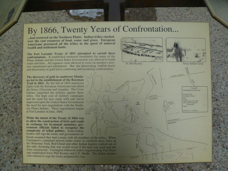
Last week I had purchase a Wyoming Road and Recreation Atlas to go along with the Wyoming Backroads I have to help plan trips for the spring and summer. I had noticed that just south of town laid a number of Battlefields which I don’t ever recall hearing about in school. So with the possibility of foul weather I decided to stick close to home and pay a visit to these sites.
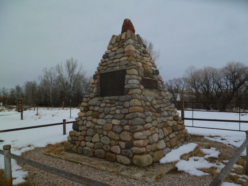
The first stop on the trip was the ‘Wagon Box Monument’
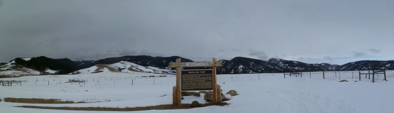
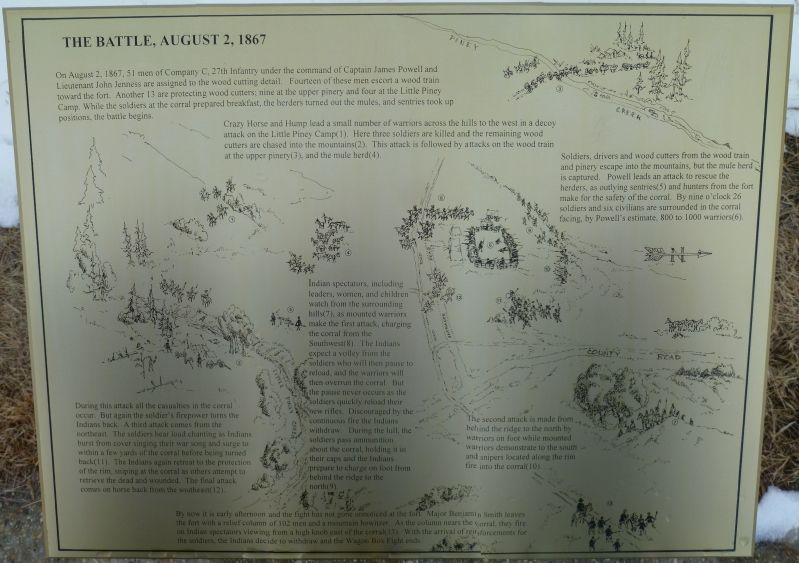
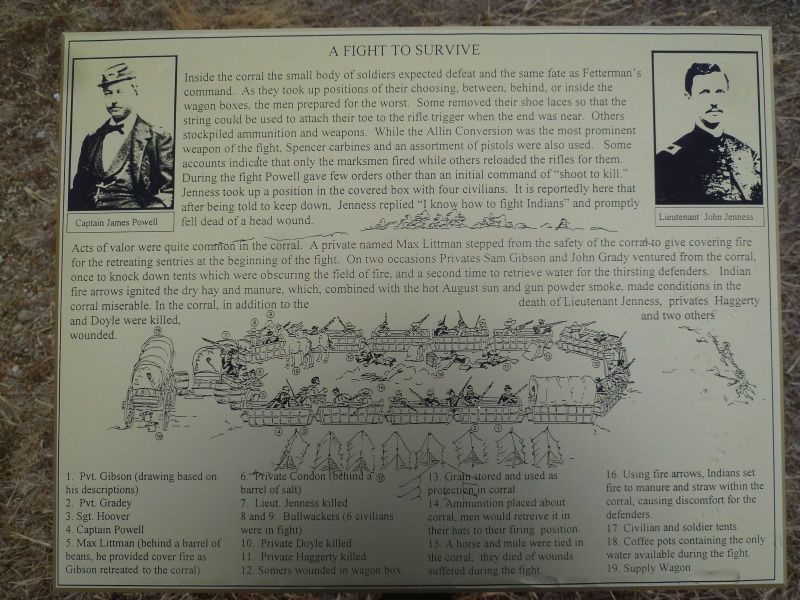
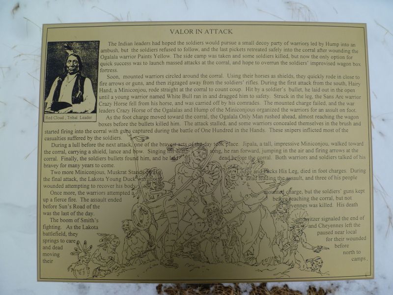
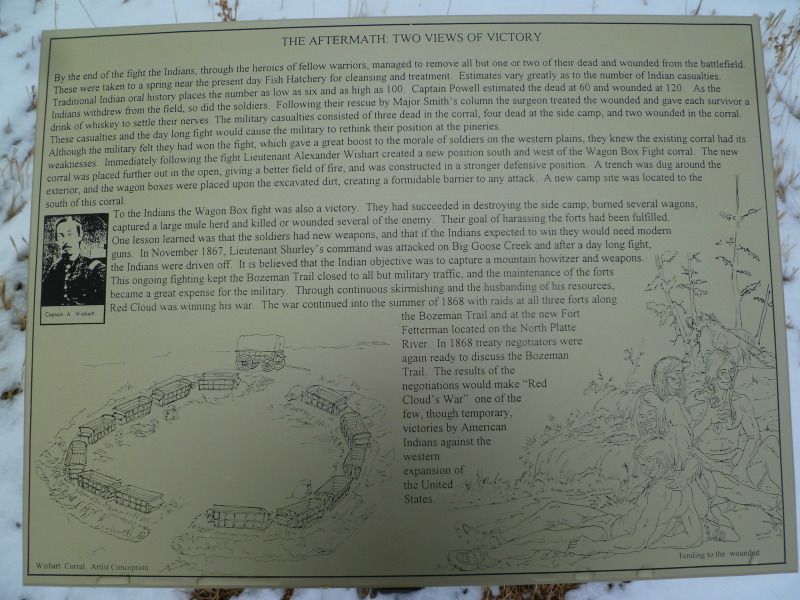
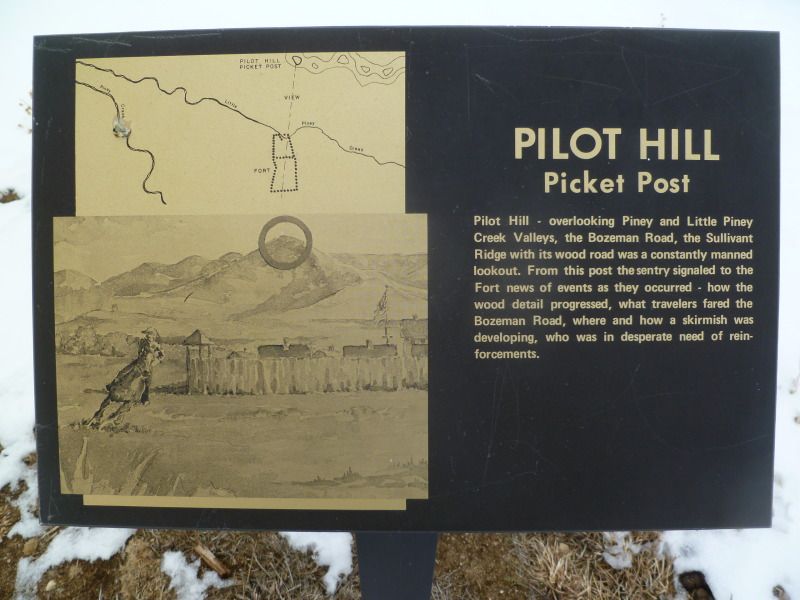
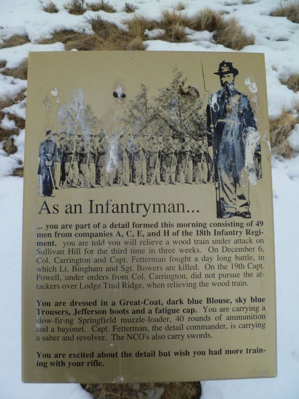
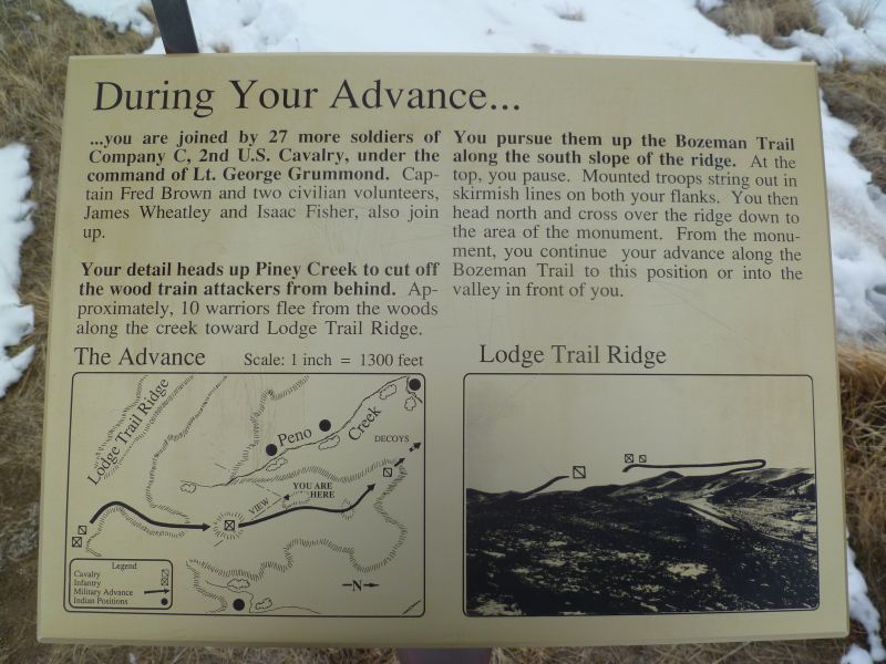
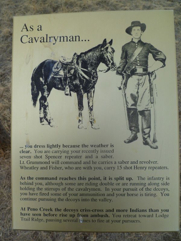
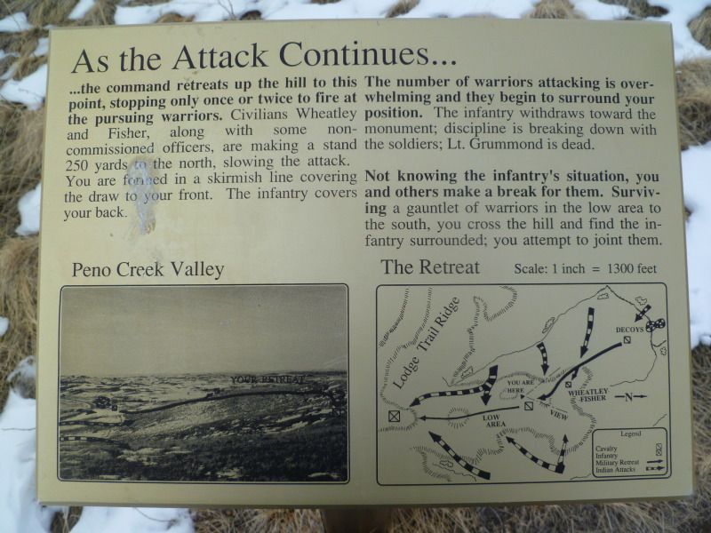
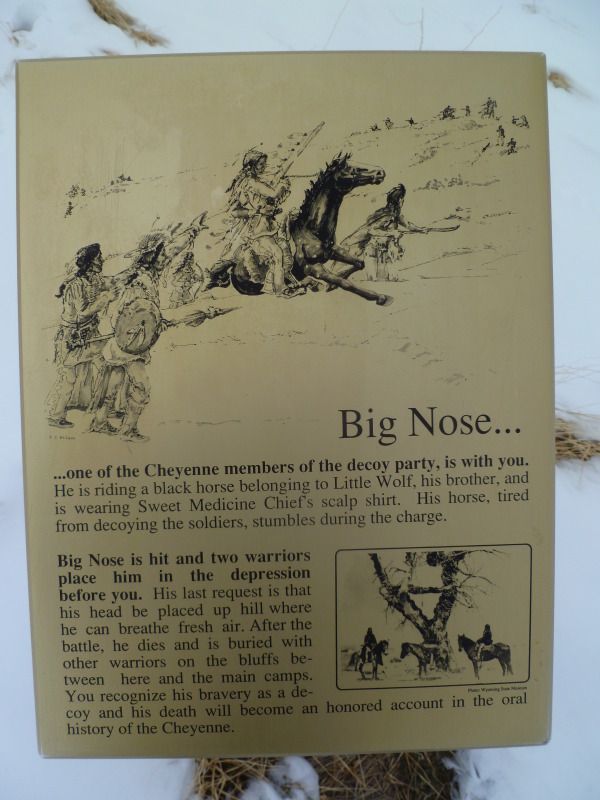
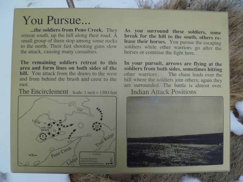
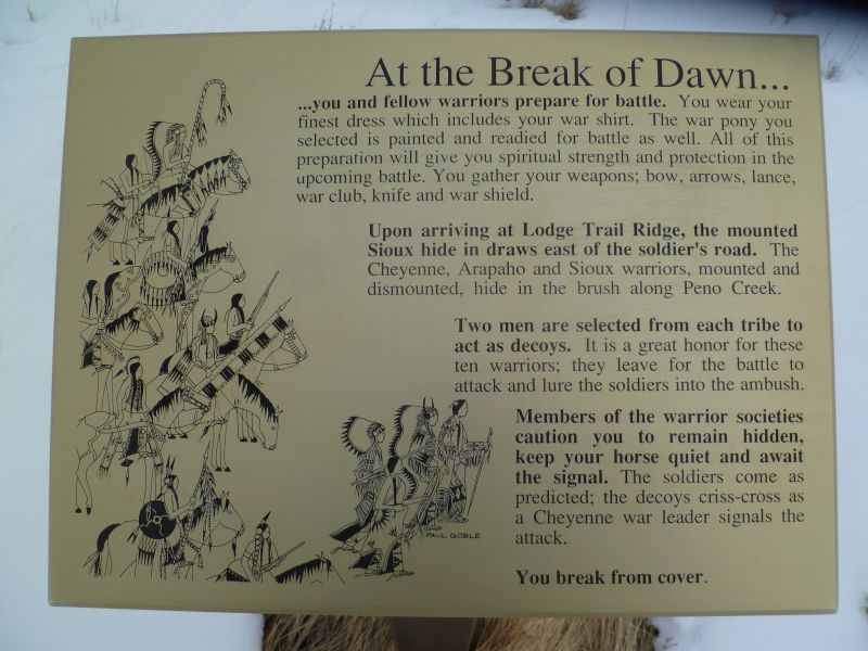
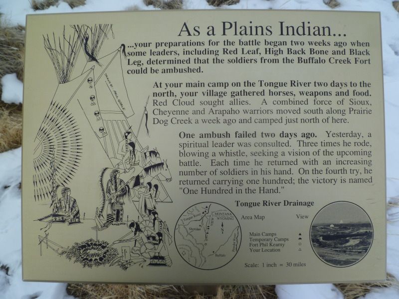
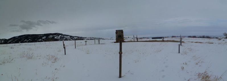
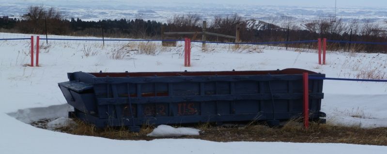
The monument to this fight is in the background the post you see is the approximate location where the soldiers fortified themselves during the attack. Each one of the post had a different description on it as to what it was.
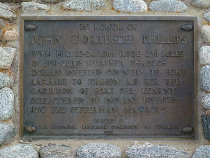
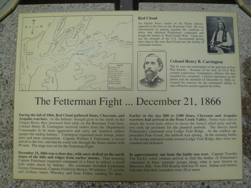
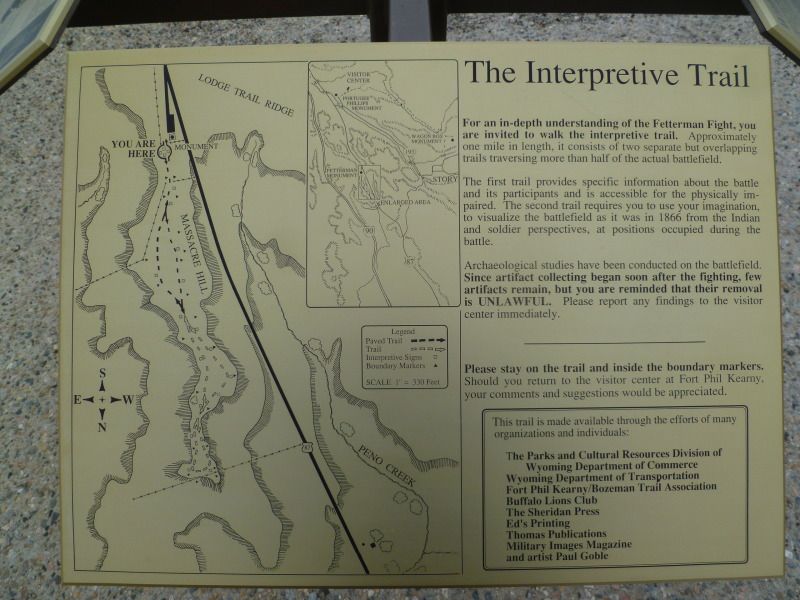
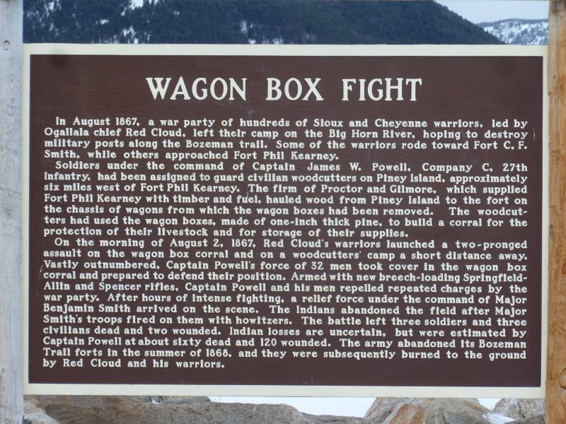
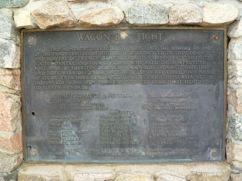
Monument Plaque
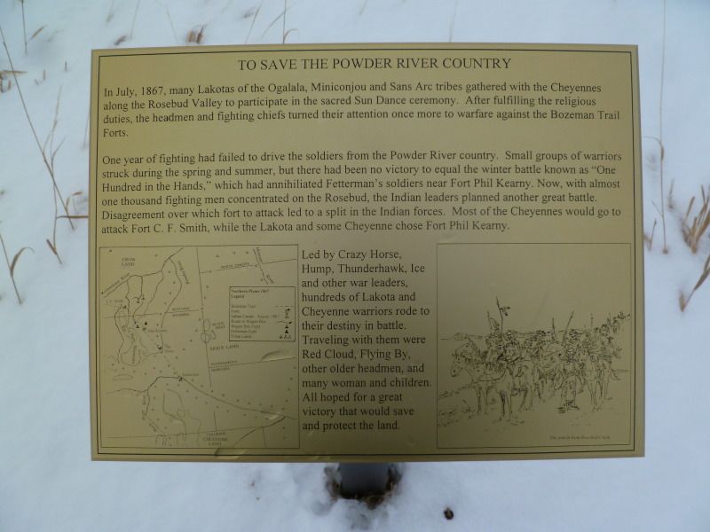
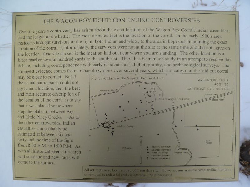
Wagon Box
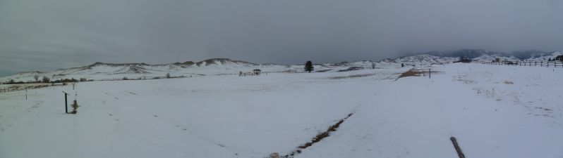
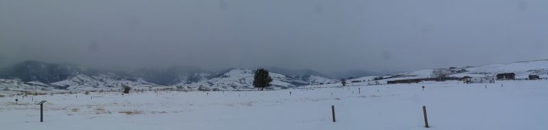
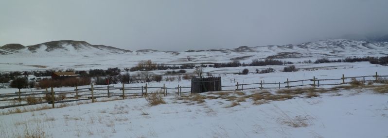
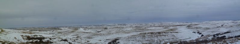
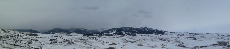
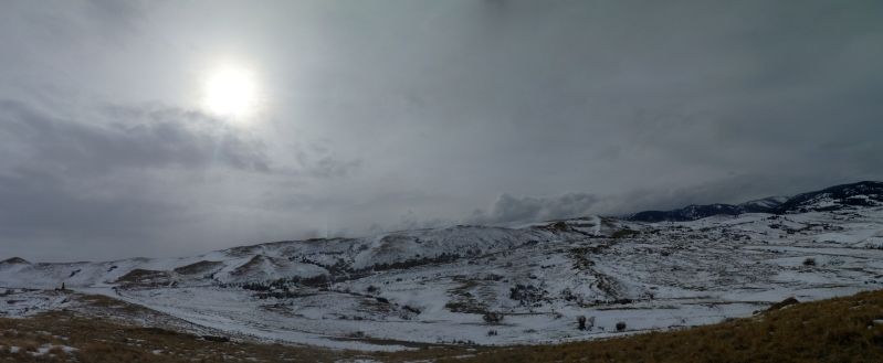
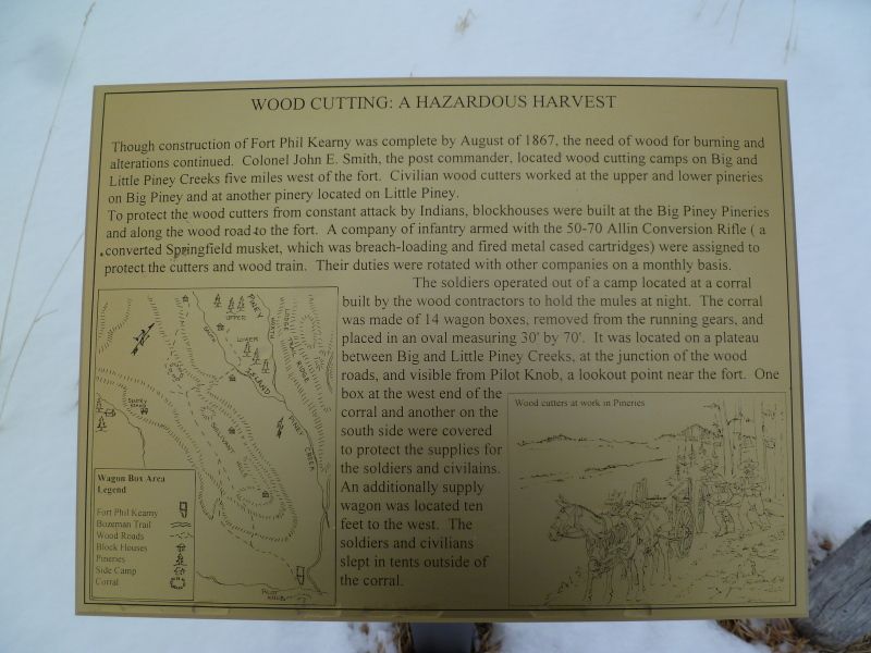
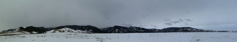
View of the surrounding area.
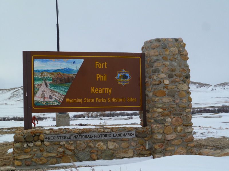
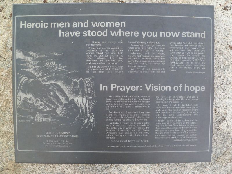
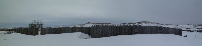
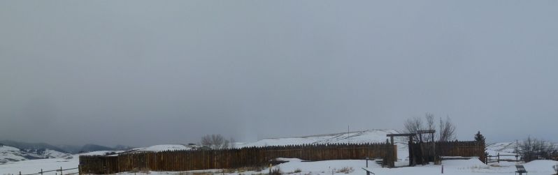
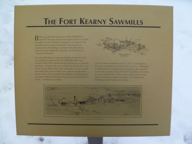
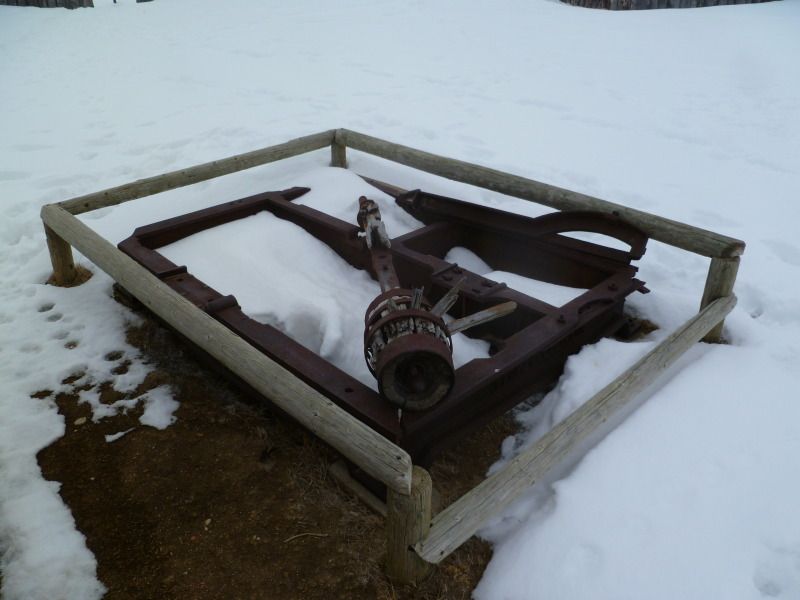
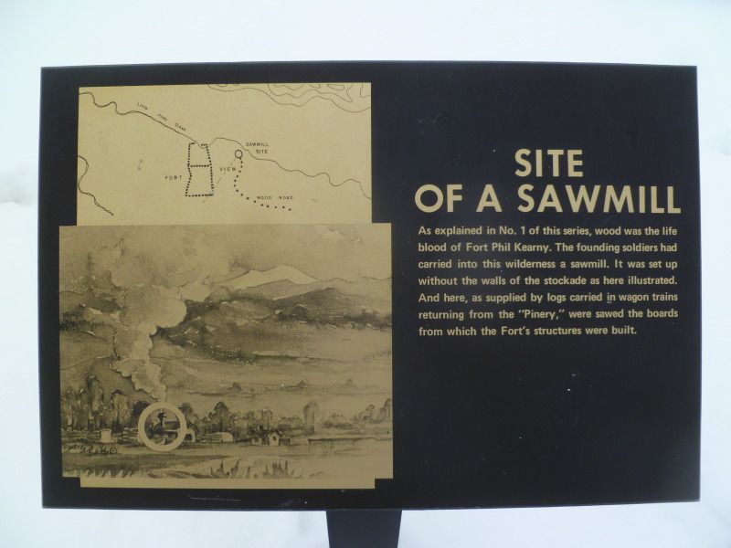
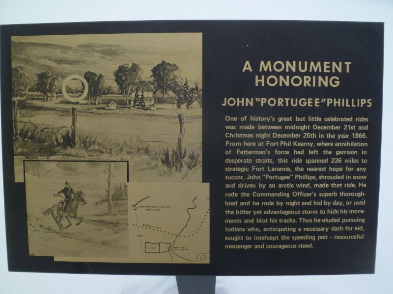
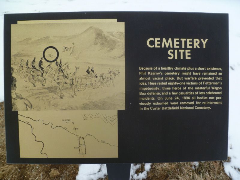
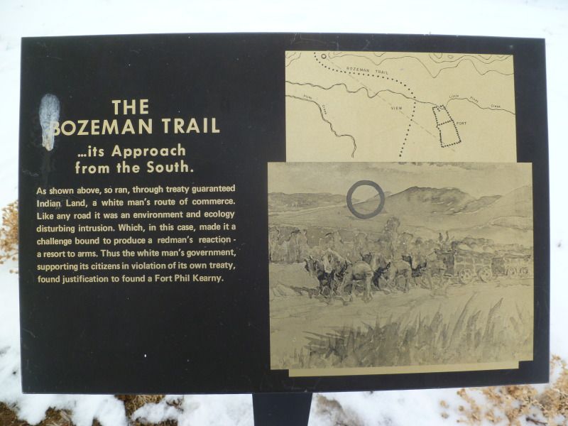
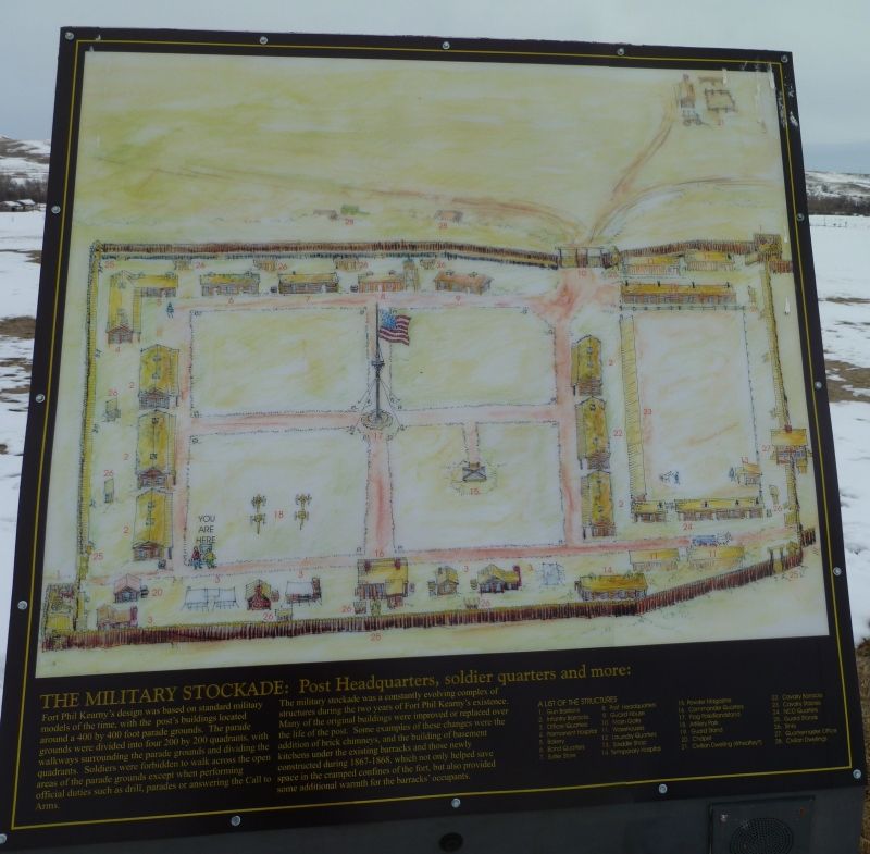
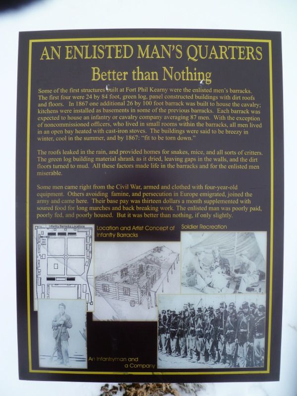
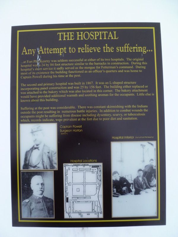
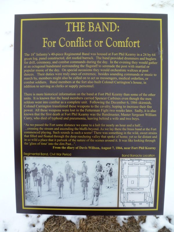
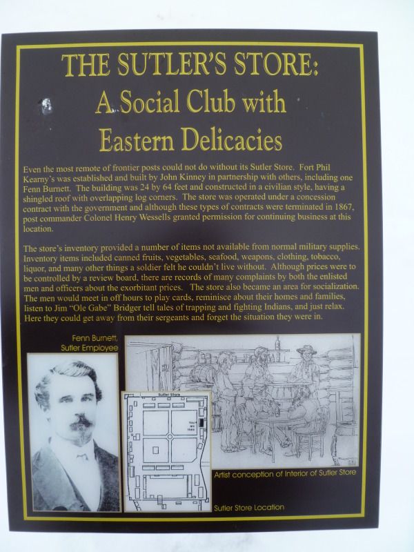
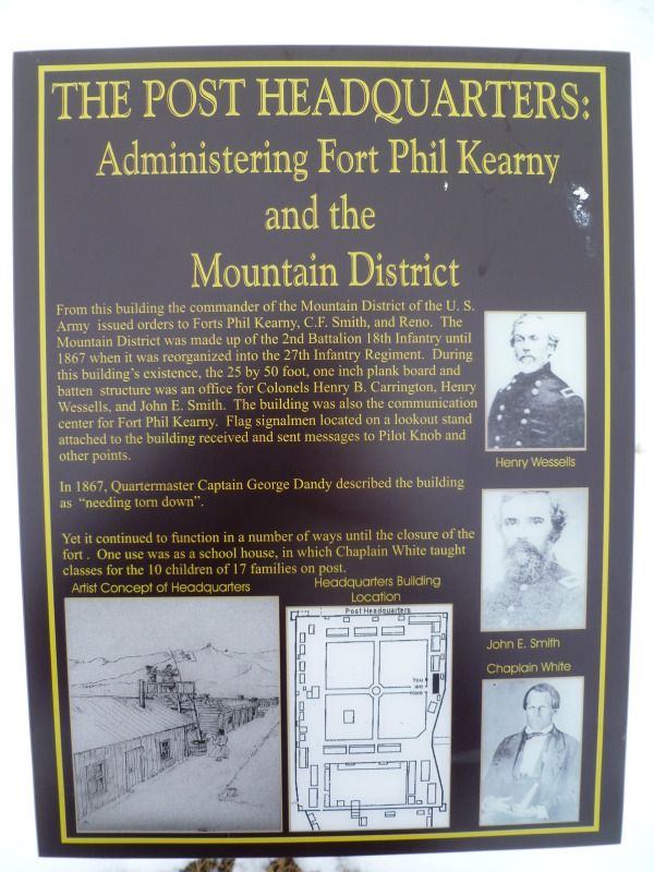
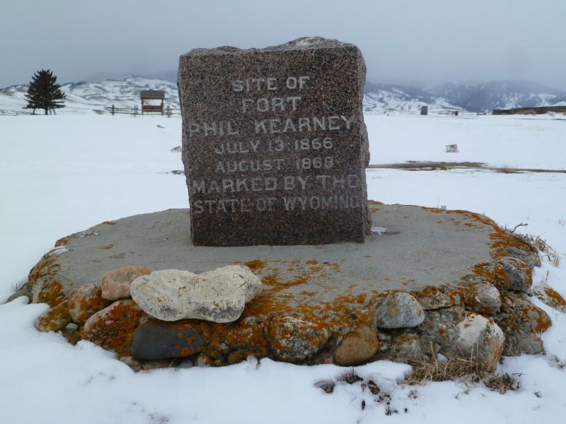
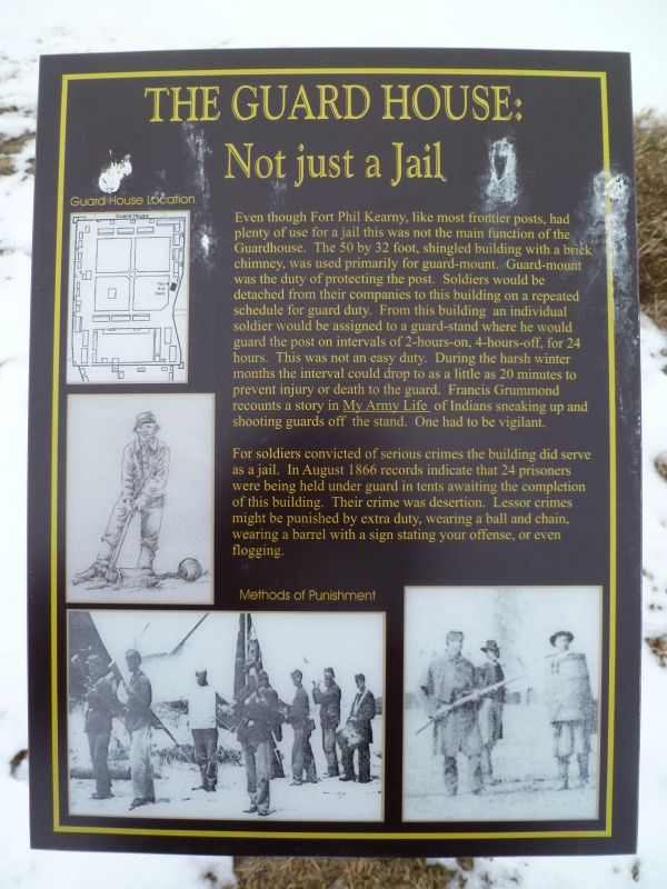
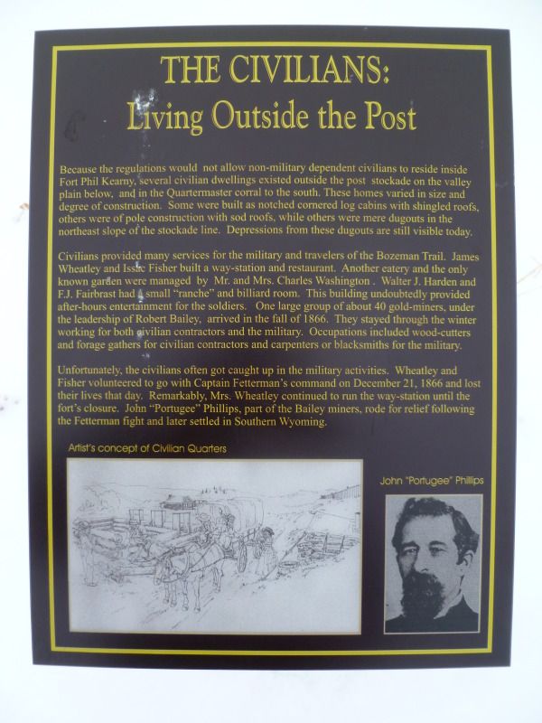
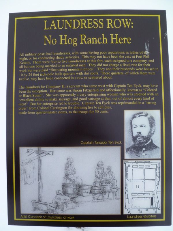
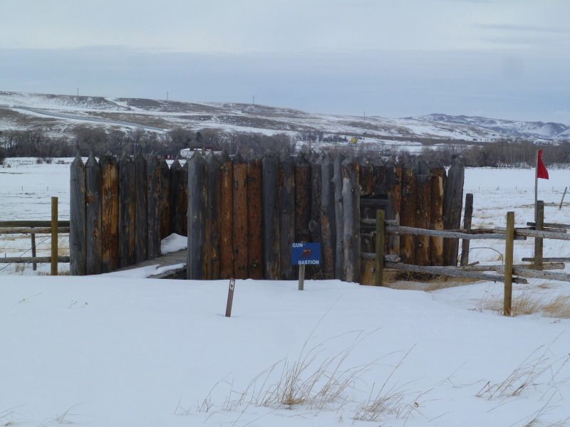
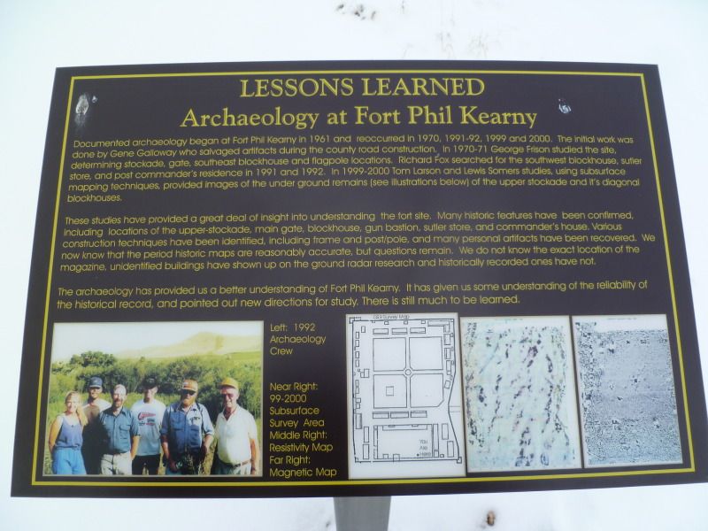
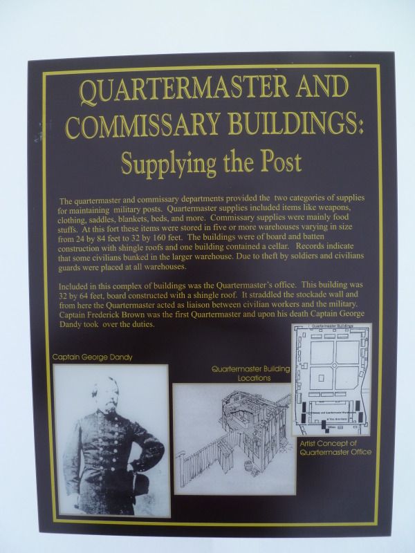
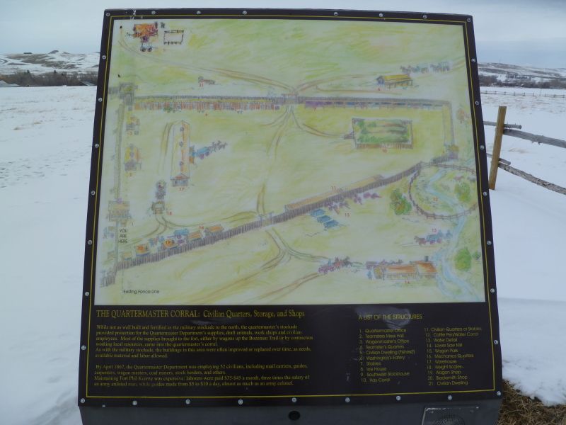
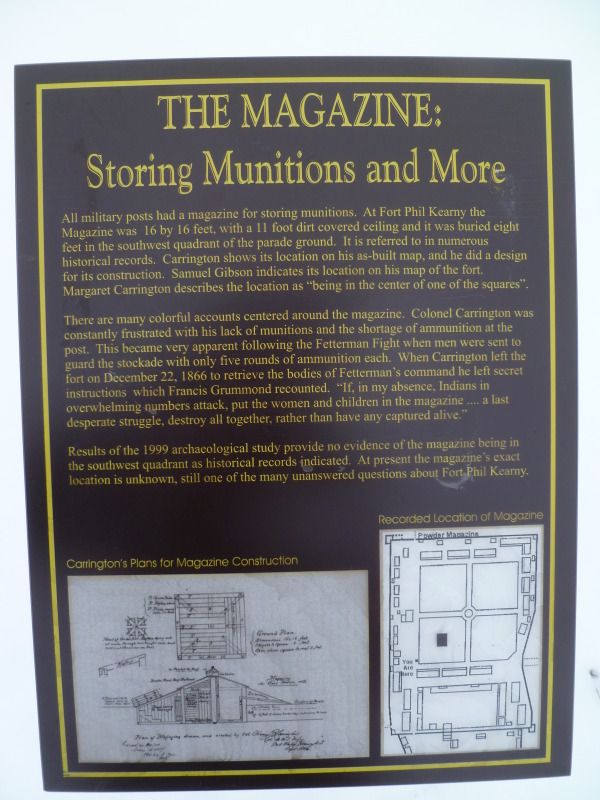
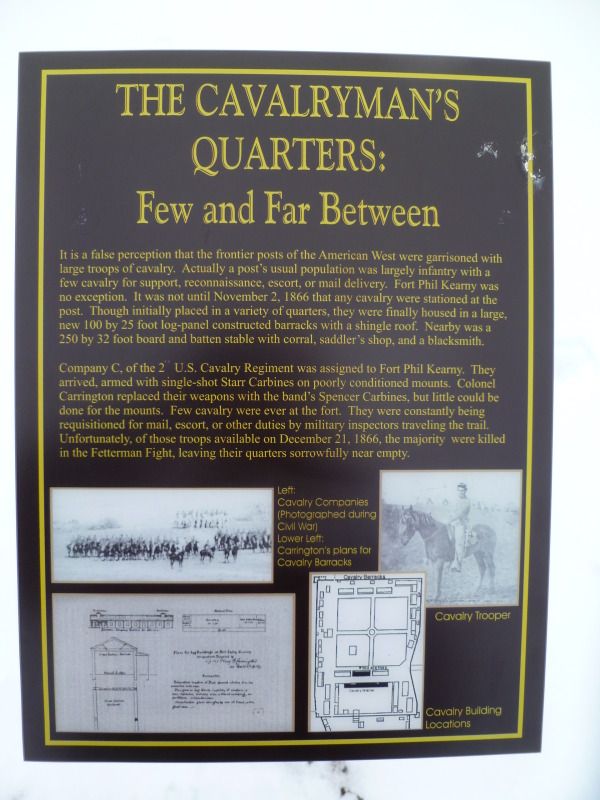
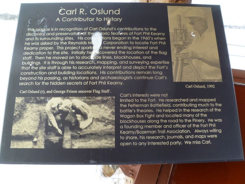
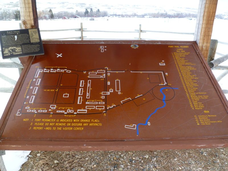
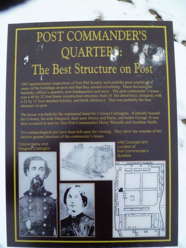
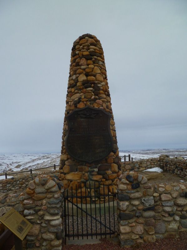
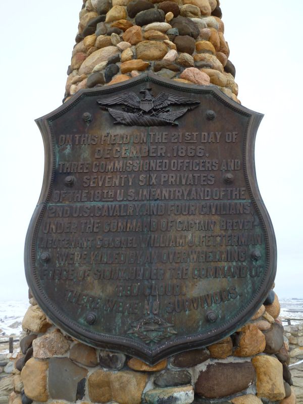
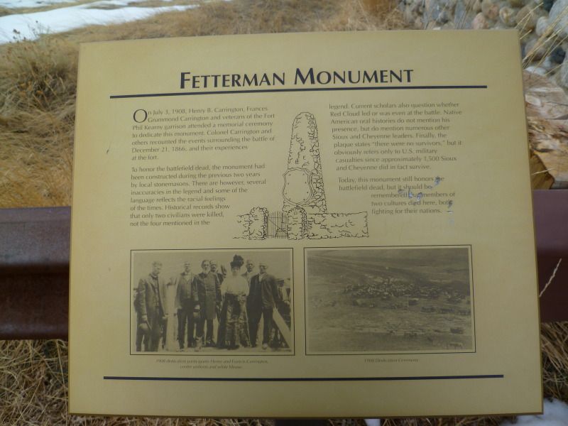
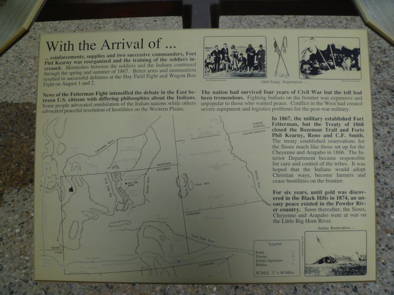
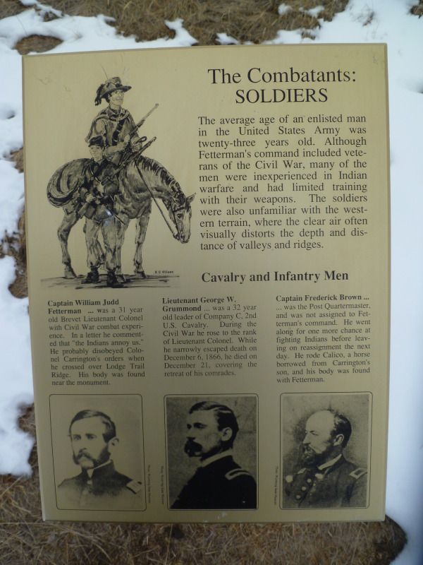
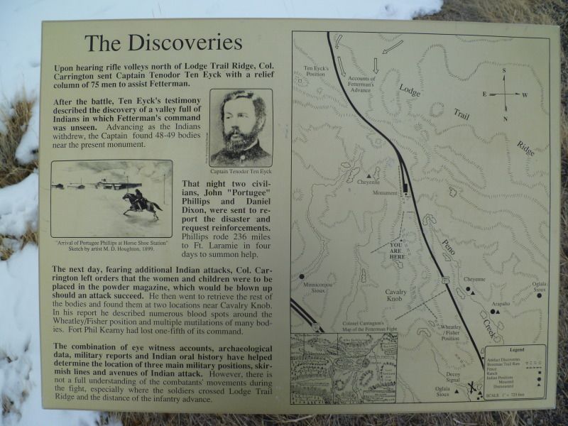
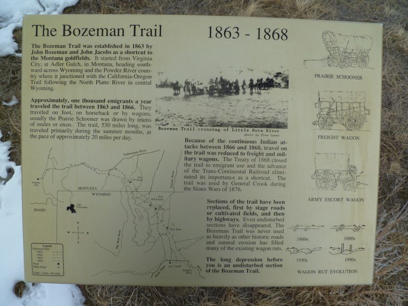
Fort Phil Kearny was my next stop.
Last week I had purchase a Wyoming Road and Recreation Atlas to go along with the Wyoming Backroads I have to help plan trips for the spring and summer. I had noticed that just south of town laid a number of Battlefields which I don’t ever recall hearing about in school. So with the possibility of foul weather I decided to stick close to home and pay a visit to these sites.
The first stop on the trip was the ‘Wagon Box Monument’
The monument to this fight is in the background the post you see is the approximate location where the soldiers fortified themselves during the attack. Each one of the post had a different description on it as to what it was.
Monument Plaque
Wagon Box
View of the surrounding area.
Fort Phil Kearny was my next stop.