Fixed, here is the story and pic in three parts
This years trip took a different turn. One of the joys of the "Rats" trip is that we go to trails never before explored. However, with most trips I have a general idea of the area because of my prior trips of exploring. I can say "over there are the Panamint Mountains or over there you can just see Table Mountain and so forth.
This year we ventured into Western Arizona. The area between Interstate 40 and 10. This being on the east side of the Colorado River. Even with hours looking over maps and reading trail books it still hard to visualize the actual terrain until I actually am there.
The adventure for me and Jim Frei started Wednesday afternoon with a drive out to the small campground at Mitchell Caverns. The plan was for us to meet up early the next morning with the others at the Essex off-ramp on I-40.
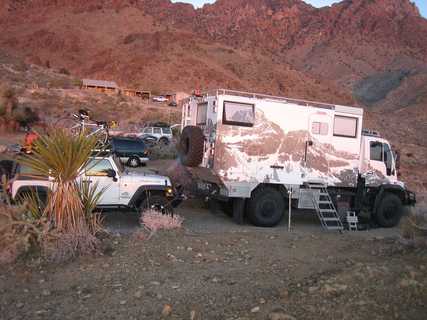
Weather was supposed to be great and when we arrive at Mitchell Caverns a little after dark I was surprised how cool it seemed with a little bit of breeze coming over the mountains. I could see some snow on the mountain above the caverns from last weeks storm. The campground which is a little more than a small turn off near the end of the road has only 5 spots. I was surprised to see anyone there. A Unimog converted by Global Expeditions was parked in the end spot.
Later that evening a farther-son combo camping in their mini-van also showed up. This was the most I had even seen in this little campground. The campground provides rather tall fire rings, a picnic table and flat spot to park your vehicle. About 50 yards away are a flushing toilet and sink with cold water. All this for a mere $25.00 a night! Seems California is looking to cover their debt with camping fees!
A fire helped deal with the evening chill and we called it a night under a sky full of stars.
In the morning we met the Unimog owners, a husband wife the husband named Dave came over and we talk trails and past experiences. Originally from Virginia they are now traveling around the country with plans next to be off to South America.
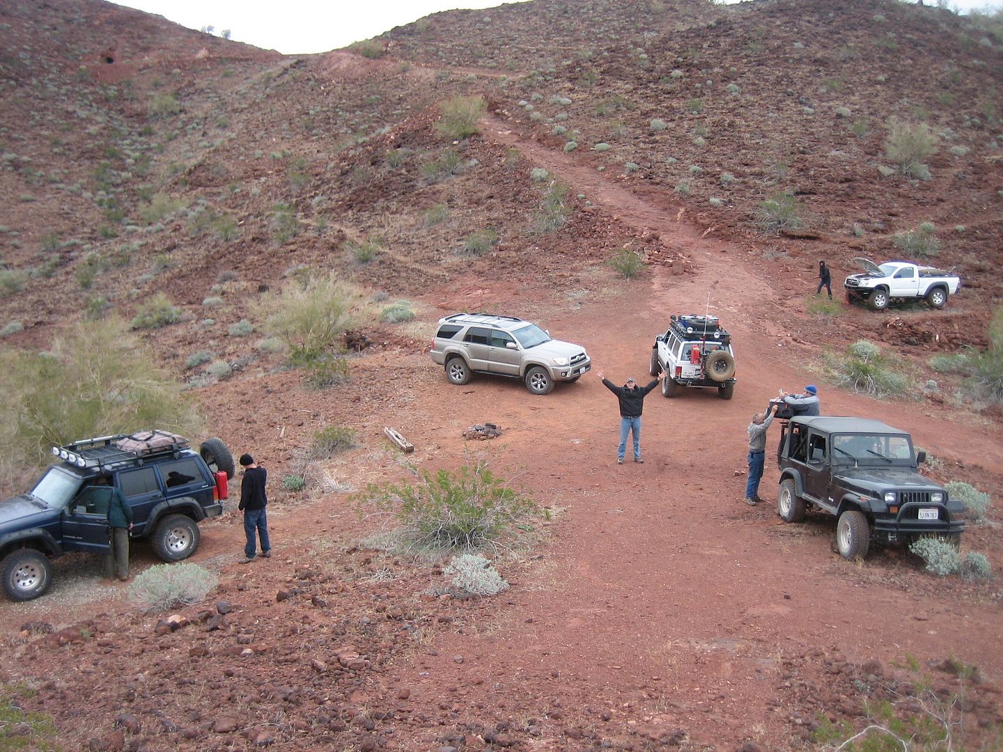
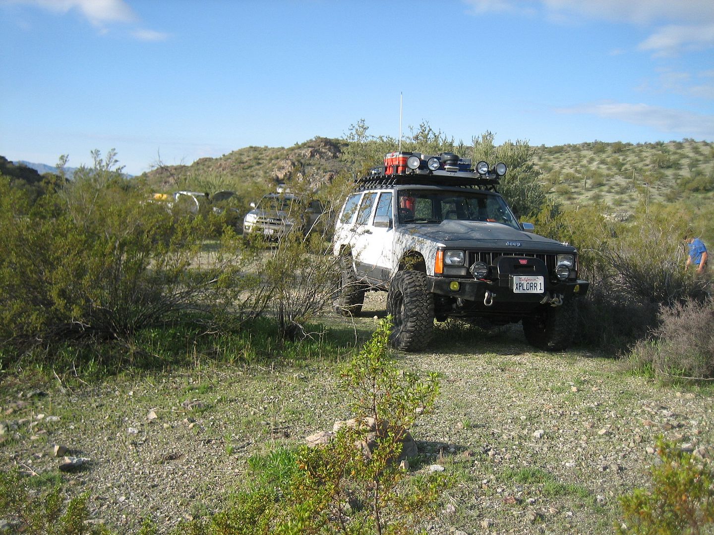
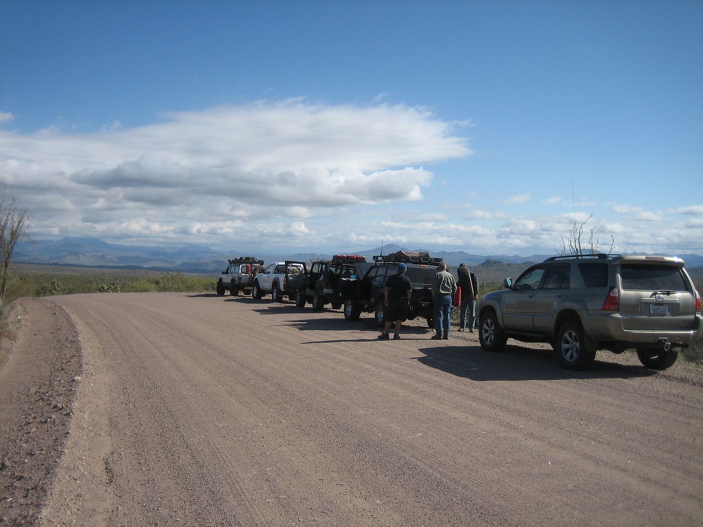
After breakfast we made radio contact with the others driving up and them met then at the Essex exit. The group consisted of me in my Cherokee, Jim in his 4-Runner, Neil Webster with Kirk Stevens (the only other original Rat to make it) in Neil's Cherokee. Then two new comers, Jason Bonilla in his older Jeep Wrangler and Jeff Wolfe with Cody as passenger in his almost new Toyota pickup.
Off we went traveling east with a brief stop in Needles ( I still needed some octane booster for my new stroker engine and Jason had left his gas cap at a prior gas station) before we cross the Colorado and entered Arizona.
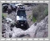
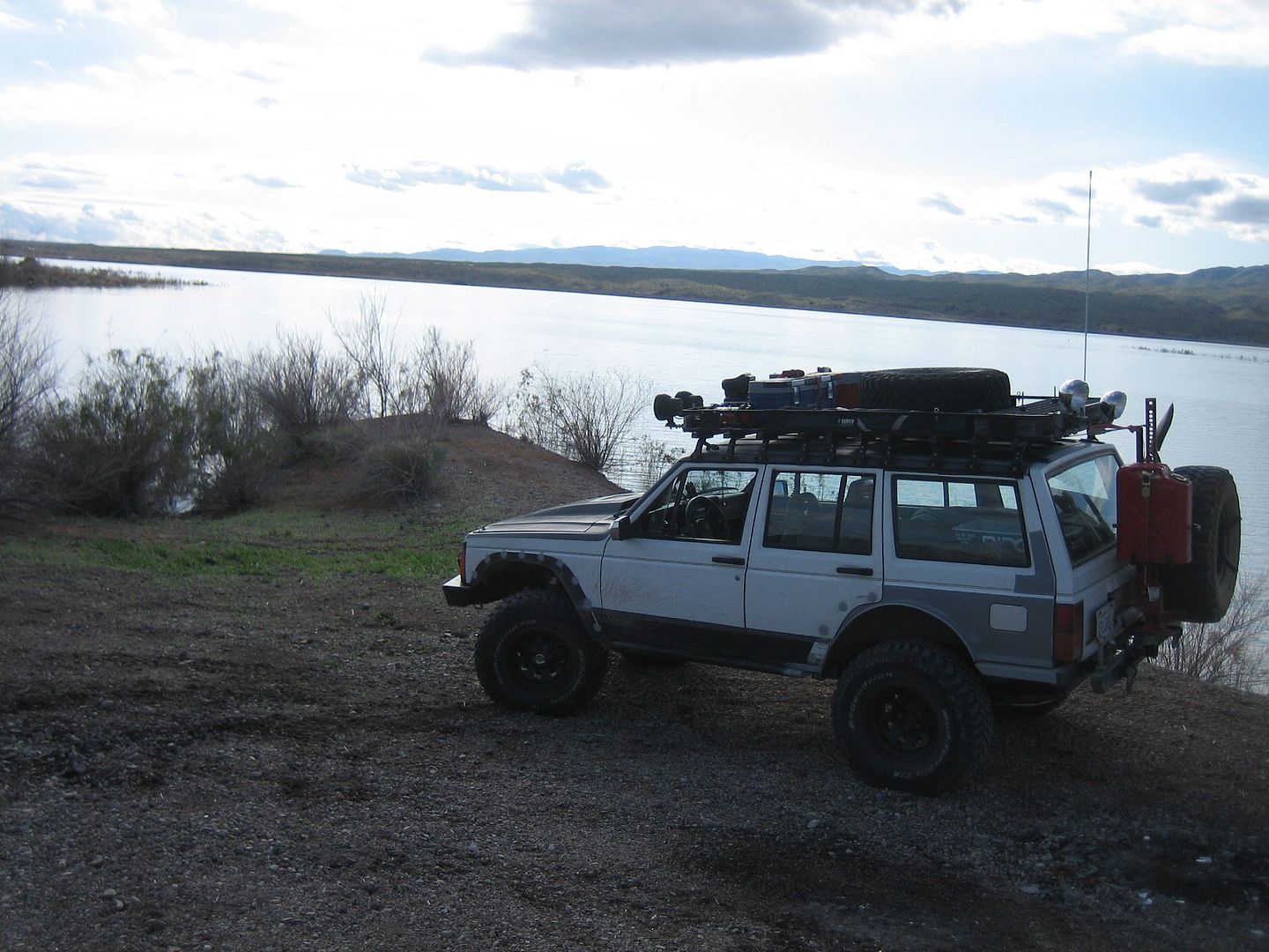
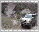
After a brief stop at exit #9 for fuel ( amazing how much less gas costs in Arizona compared to California, almost 40 cents a gallon less!) we came to exit #13 on I-40 and started our adventure. We all aired down, including Jim Frei a first I think for him, and headed south on what the Charles Wells book calls Crossman Peak trail. We followed it in reverse order of the book which is always confusing. Rated as a moderate trail I would say it was easy except for the one climb about half way through when we all engaged 4wd to climb over a rocky ridge.
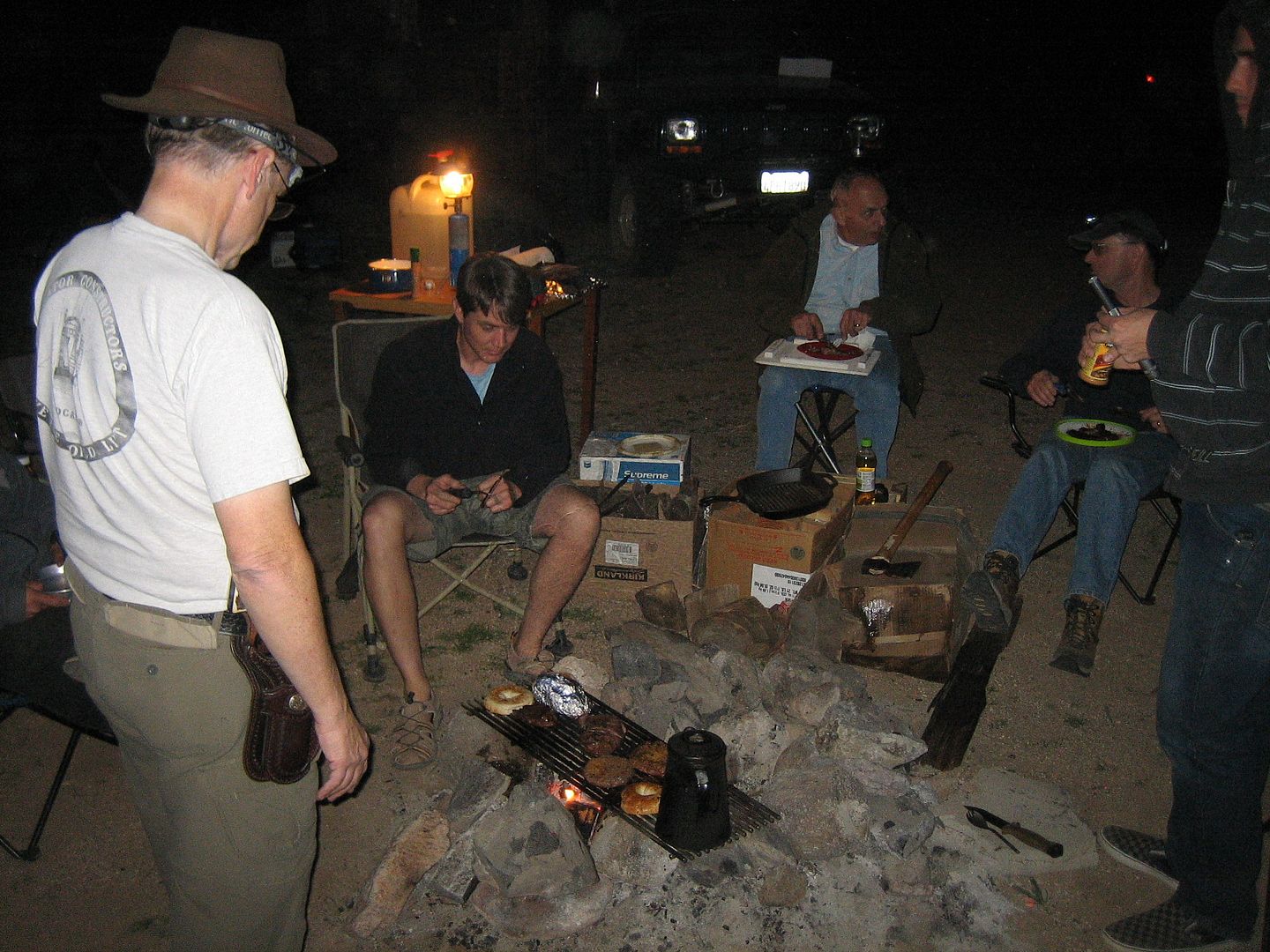
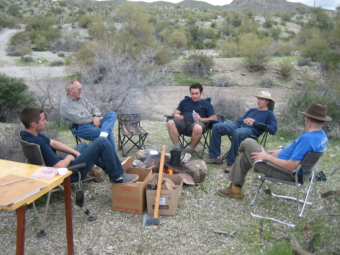
About 3/4's of the way through we came to the Mojave Wash trail, (a loop) and after a couple of false starts managed to find the right trail. About 1/2 was through came to our campsite which was old corral with a (no-longer working, contrary to the book) water pump. The evening was very mild and we enjoyed cooking over a wood fire on Jeff's custom made stainless steel grill. Most of the guys were tired as they got up that morning about 3:30 am so it was an early bedtime.
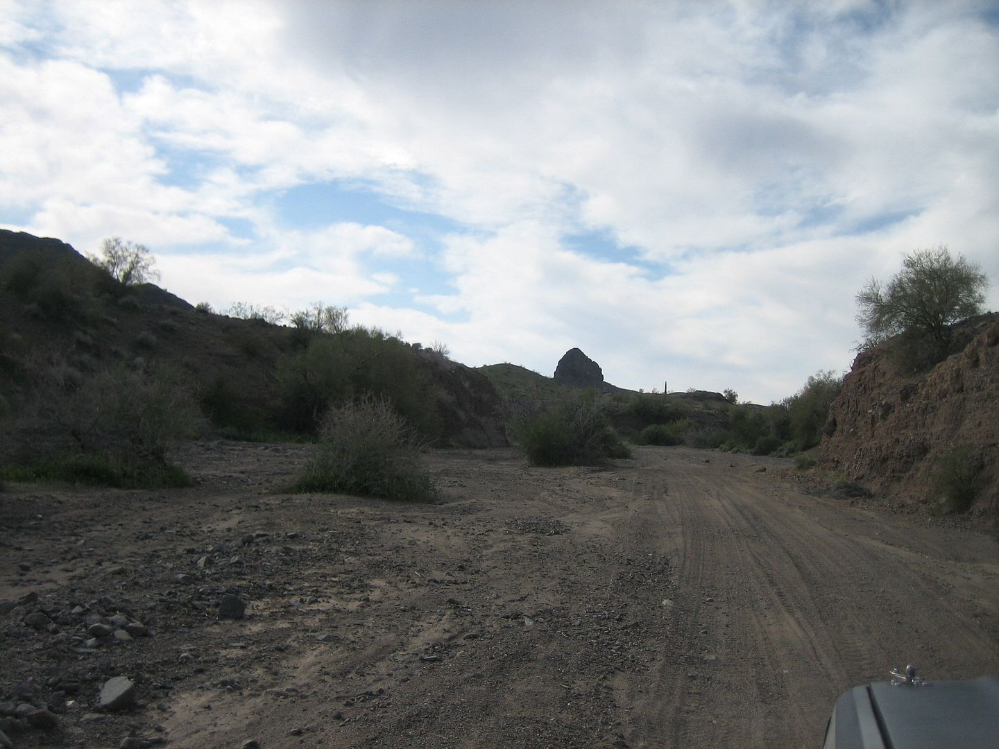
The next morning again with a fire and good breakfast we broke camp. Again it took a couple of tries to find the right trail up and out of the wash. I was beginning to get some idea of general directions (north, south, east, west) as I knew which way we wanted to go and the first few trails we tried weren't going that way.
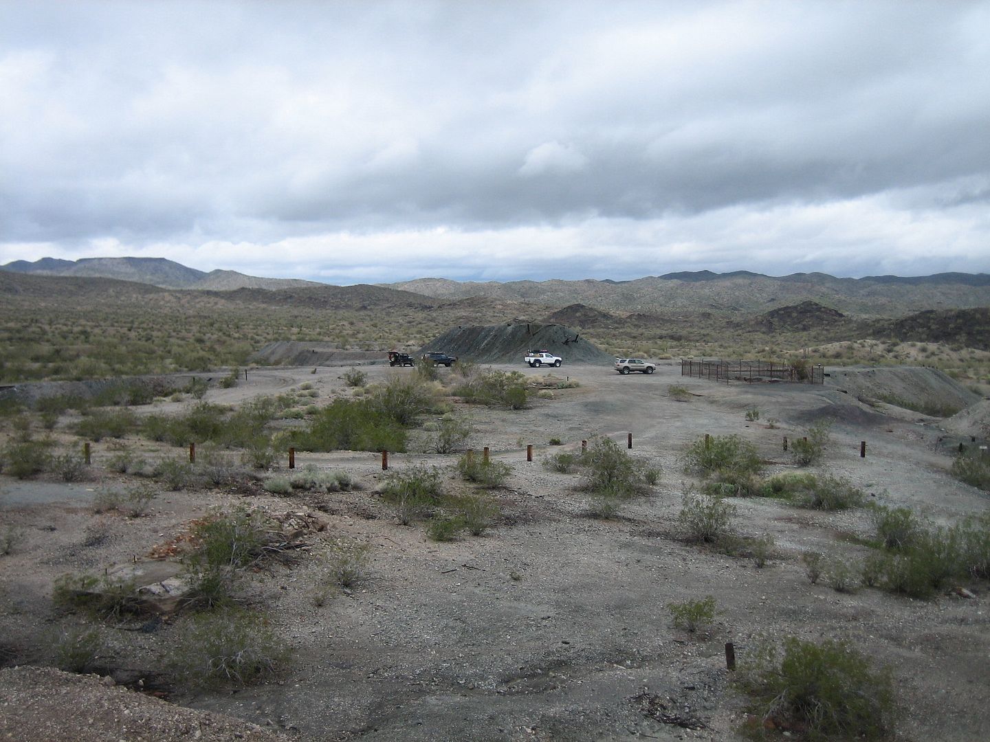
We joined in again with the Crossman Peak trail and drove down Standard Wash toward Highway 95. Almost all the wash was very wash board so travel was slower and very bumpy. On highway 96 we headed south for a couple of miles exiting again east into what appeared to be a large unofficial camp area for snowbirds. Lots of trailers and RV were parked providing a cheep place for those who had fled the snow for a warmer winter.
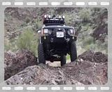
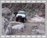
This was the beginning of the Cattail Cove trail. A shorter trail only 17 miles round trip but providing some more trail challenges and a neat side trip to Rovey's Needle.
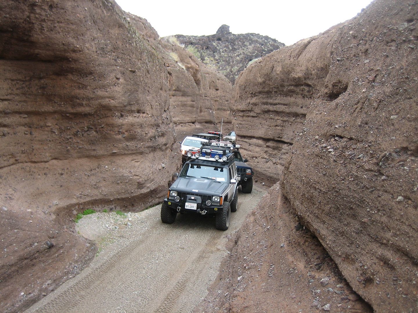
We elected to take the harder optional trail into the canyon and we some of us got our first scratches on our rock sliders.
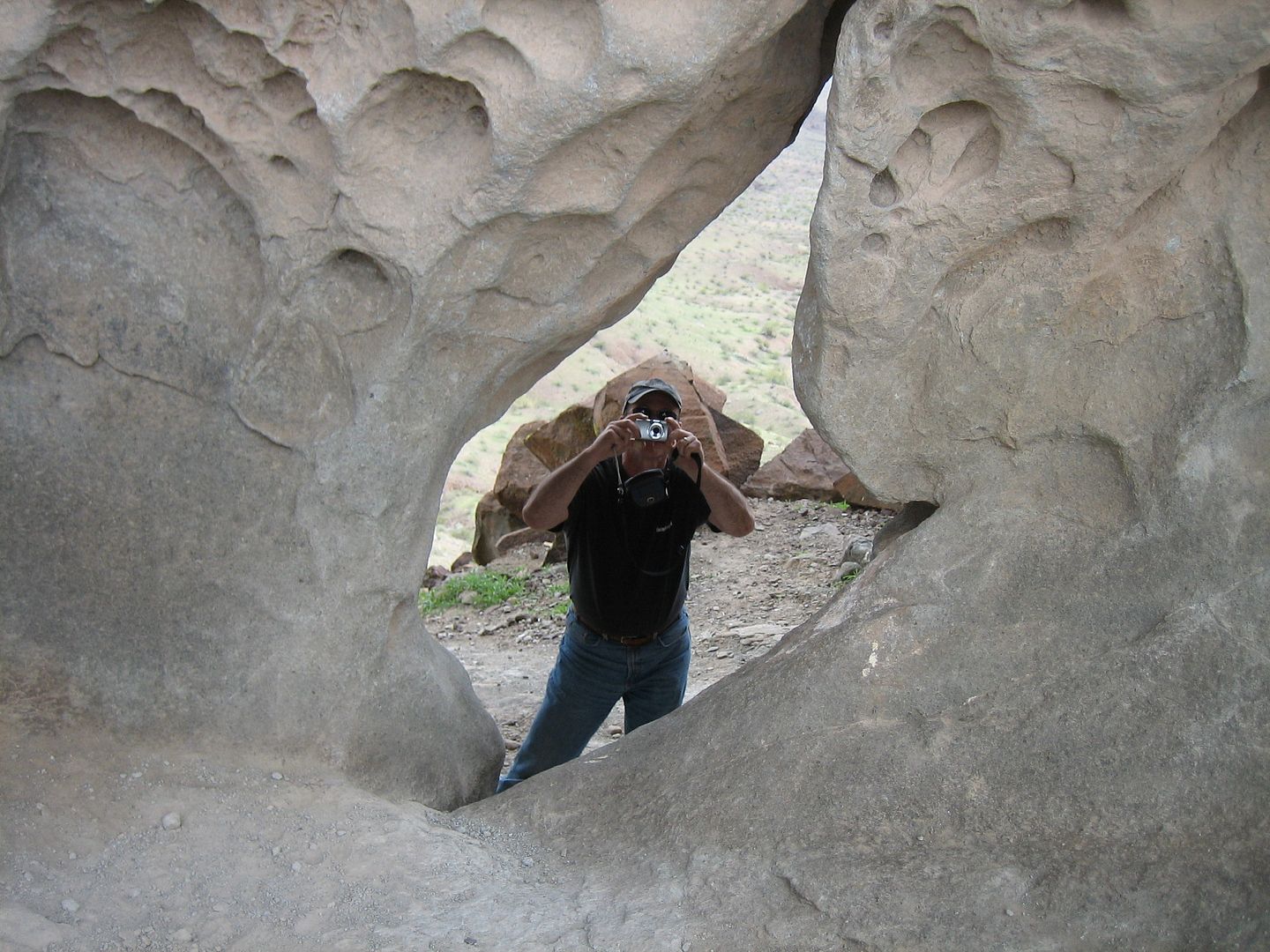
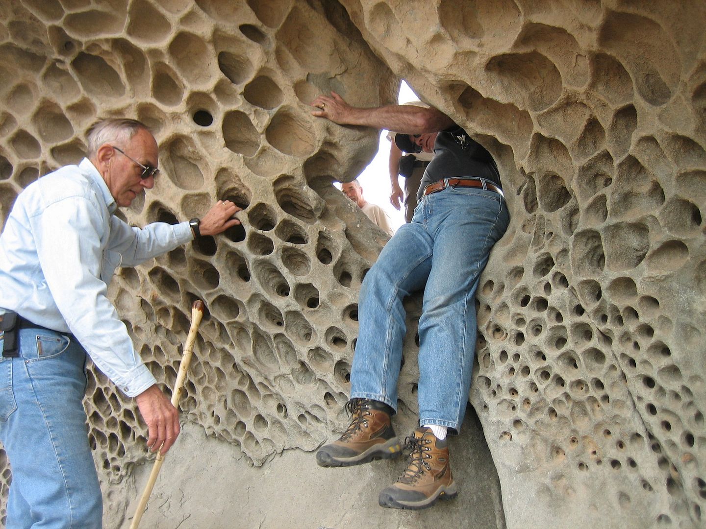
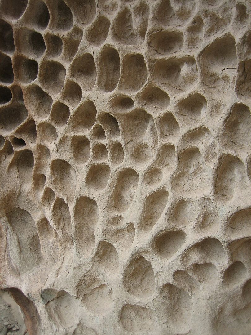
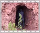
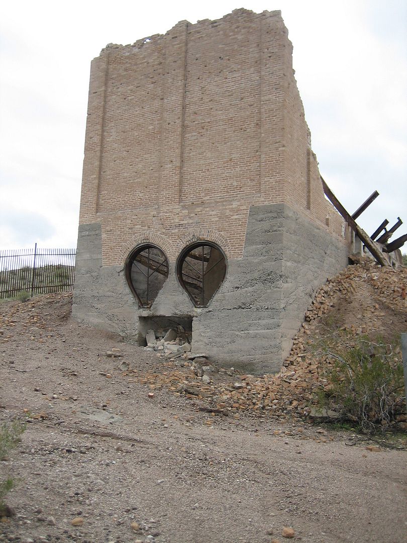
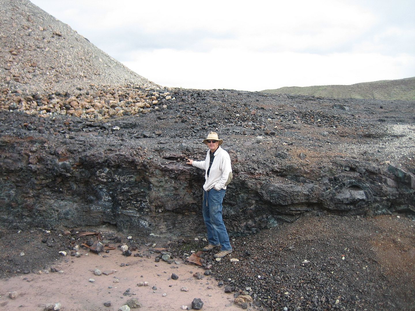
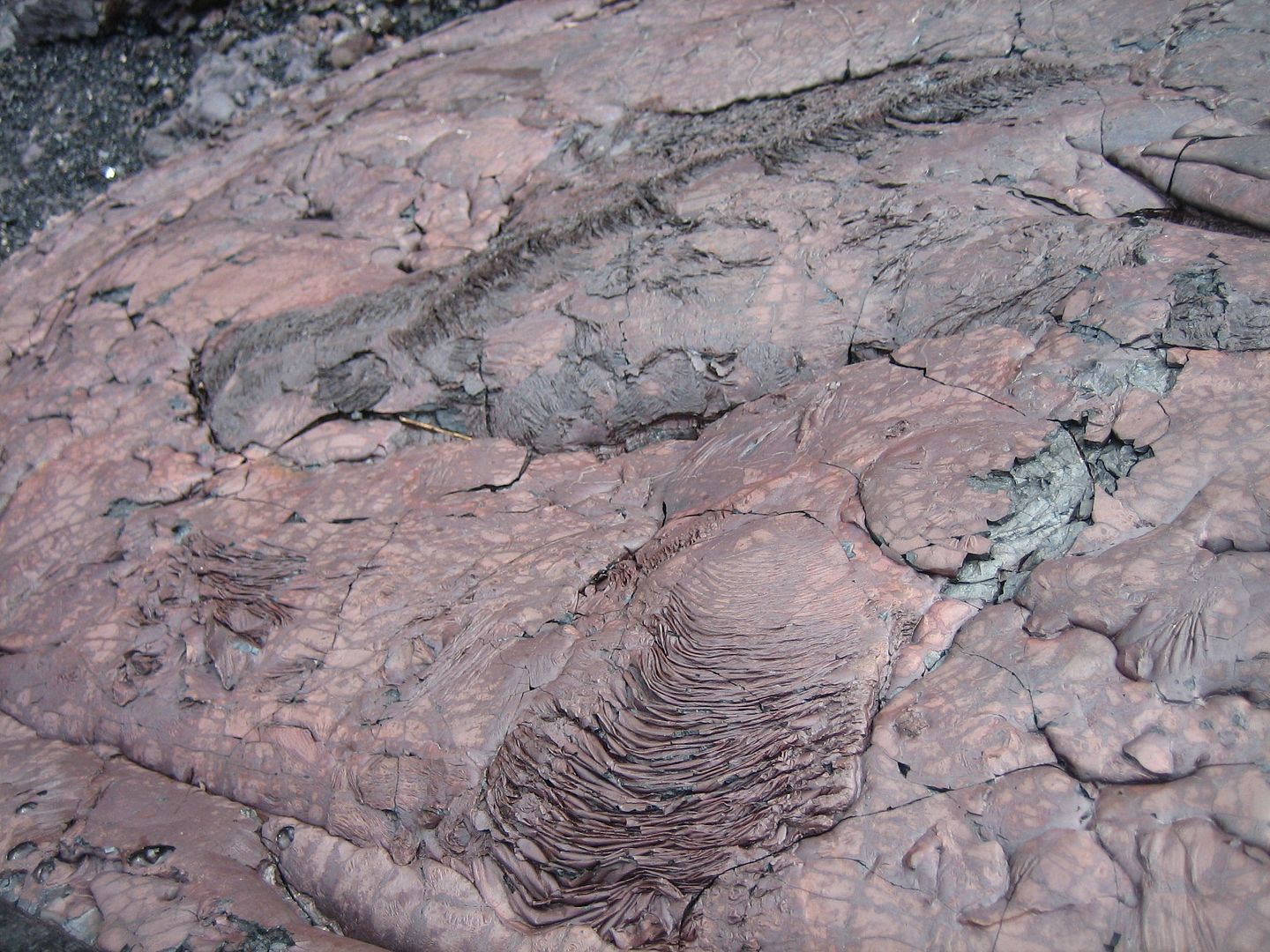
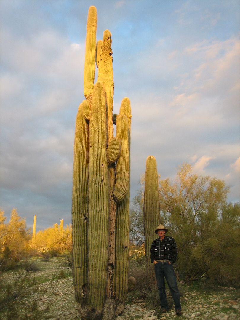
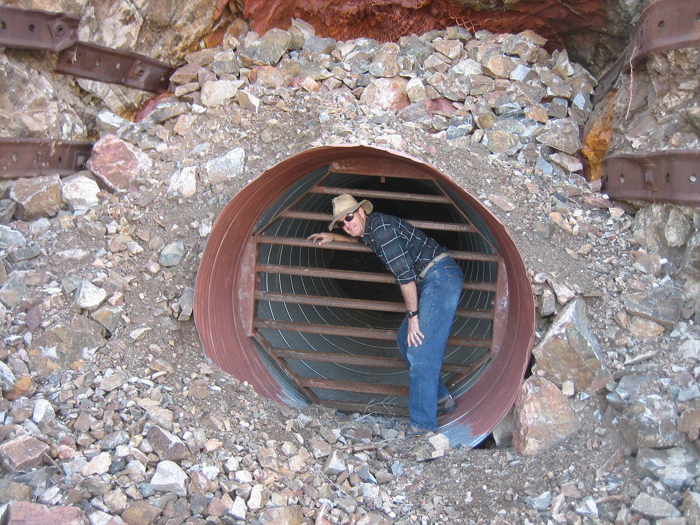
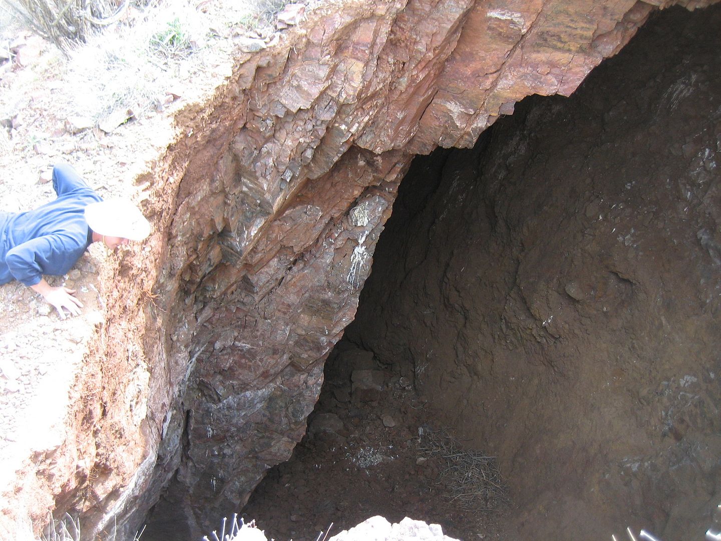
Rovey's needles is just a short walk from the trail. A unique monolith with some very strange formations in the sandstone. There is a narrow crack one can crawl through from one side to the other. Pictures best describe it.
Back on the trail there were several trail options from mild to wild for each driver to choose.
End Part 1
")