gm13
Adventurer
This is from 3 trips I made to the NMW 2 years ago in the Discovery, including my first to the area. I haven't noticed a post here about the Ice Cave at Allagash Lake so thought I'd put one up.
The Ice Cave is located at the NW end of Allagash Lake in the Allagash Wilderness Waterway(AWW). The wilderness area lies within the North Maine Woods, basically the whole of NW Maine and encompasses more than 3,500,000 acres along with thousands of miles of logging road and really nothing else. It is a fissure cave, not too large, as Maine geology isn't prone to spawning big caves, with a length of about 950' and a depth of close to 70' Access is typically via the lake, by canoe then up a short trail. That's the way those with at least average intelligence get there, it's easy.
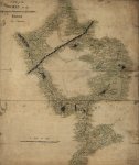
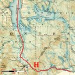
The Maine Atlas map 55 shows an old logging road that heads up towards the cave, meets an AWW survey trace and disappears (or runs into a pond depending on edition). Looked like it would be fun to try and find the Cave via an overland route. It only took 3 trips. In retrospect I'll add that it isn't really difficult, I just wanted excuses for going back.
The first of these was late May 2010, before the notorious black fly and the ubiquitous mosquito are out in force. I arrived mid day on a Friday after 5 hrs of driving, 2.5 on pavement 2.5 on private "road" beginning with the Golden rd. out of Millinocket then all the roads seem to be shale and clay.
Spent the afternoon trying to find the right old road, they are numerous, unmarked and often go nowhere or end in alder or balsam thicket. After fording 2 beaver created ponds in the road I set out on foot at the third, which after inspection spelled probable hydrolock for the truck. 2 miles further I realize this isn't it and it's looking like time to get back to the truck, find a camping spot and try again in the morning. After setting up camp at the N end of Round Pond, cooking some grub, I take a another look at the map and realize my mistake, head back out and locate the right "road," that accomplished, back to camp in time for the 5th moose of the day to stumble(they do look ungainly) out of the bush 20 yds from my tent and into the pond to swim across, pretty cool.
Day 2
Up just as the rain starts falling around 5:00, packed before things got too wet and thankful it's only a drizzle at this point. Head out in the rain to the bouldered trailhead, park , watch a black bear run across my path and start walking at about 7. It doesn't look too bad, at first.
Shortly it turns into aforementioned balsam thicket that is such a joy to mash through. Meandering down a moose track, the only real indication I'm on an old road is the feeling underfoot, not like a forest floor should feel. This and vintage edge effect growth is a helpful indicator of the right track. This first attempt was done with map and compass, helpful if you believe you are on the track the map is indicating. Not so much if you doubt its accuracy, which I did. It is just an old logging road, how accurate would they make it?
I pass old spurs laden with raspberry and slash. Normally in hiking situations coming across a road is an indication that you can get somewhere should you get lost. Here they lead nowhere in any direction. I'm trying to take in as much detail of my surroundings as I proceed but honestly I'm on a mission and miss a lot of things that one should pay attention to when basically bushwacking, along with wishing I'd brought the machete that is still in the truck to mark fallen trees. I cross a small stream in an alder thicket indicated on the map and continue, more of the same till about 4 miles out I'm at a swampy pond, I know I'm within .25mi of the cave I just have to get by this. Attempted numerous different tracks around it to no avail, more water or impenetrable thicket. The map shows a small pond a short distance past the cave and this is where I mistakenly believe I am. With the rain I decide to head back, try another time. On the return leg, spent a lot of time wondering if I'm still on track, before re-crossing the stream I realize I've never been here before, that's an interesting feeling in the middle of nowhere down an abandoned overgrown road off yet another one slightly less so. Nothing looks familiar and I'm in raspberry, I didn't walk through any raspberry. What the...where the hell am I? Doesn't matter that I've got a map and compass and that my truck is less than 3 miles away somewhere, panic is a primal thing and dashing off in different directions in search of something familiar when you weren't really paying attention in the first place isn't that effective. As a matter of fact It made me more confused, but for those ten minutes I knew I was alive. And I'll confess, I enjoyed it, probably why I was out there in the first place. Anyway, after putting the frontal lobe back in gear I retraced my steps and found where I missed the particular balsam thicket to mash through and all was right with the world. Back to the truck to make my way home in the rain. Moose number 6 spotted on the drive out. Epic fail.
Epic fail Trip 2
Late September
First day, in rain again make the trek. this time with satellite/topo hybrid map and a mapping gps. After a perusal of some pretty good sat images, I realize the pond I was stopped by last trip was not the one on my previous map. It was a boggy area before the cave. That was helpful but new info and sat pics only got me to the abandoned ranger station where I couldn't believe there wasn't a discernible trail to the Ice Cave campsite 1/4 mile away. Typically trails aren't allowed, it is "wilderness" after all.
Feeling sure of success this time was my downfall. I made a late morning start and at 2:30, still no further along, found myself stopped by the same swampy bog and thickets. Even tried all out hacking with the remembered machete-futile.
Back to the truck under clearing skies then off to Round Pond camp and more swimming moose.
Day2
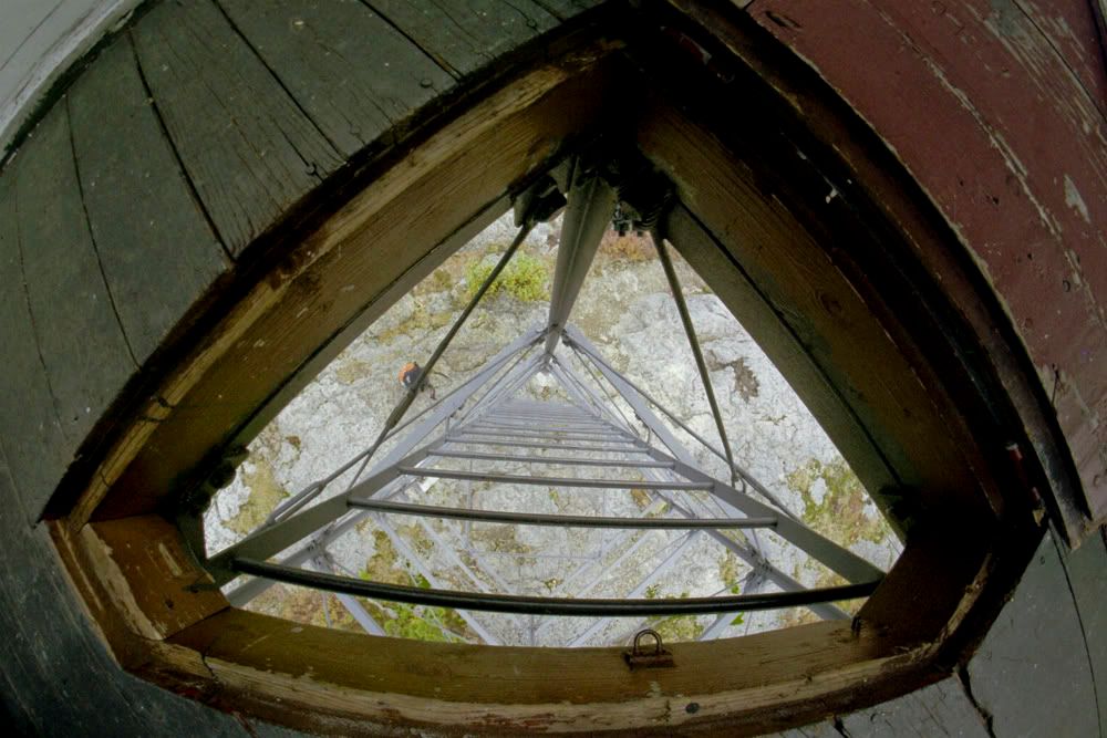
Abandoned fire tower--Allagash Mountain.
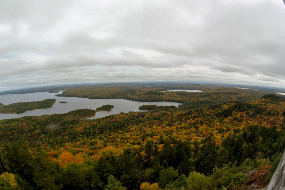
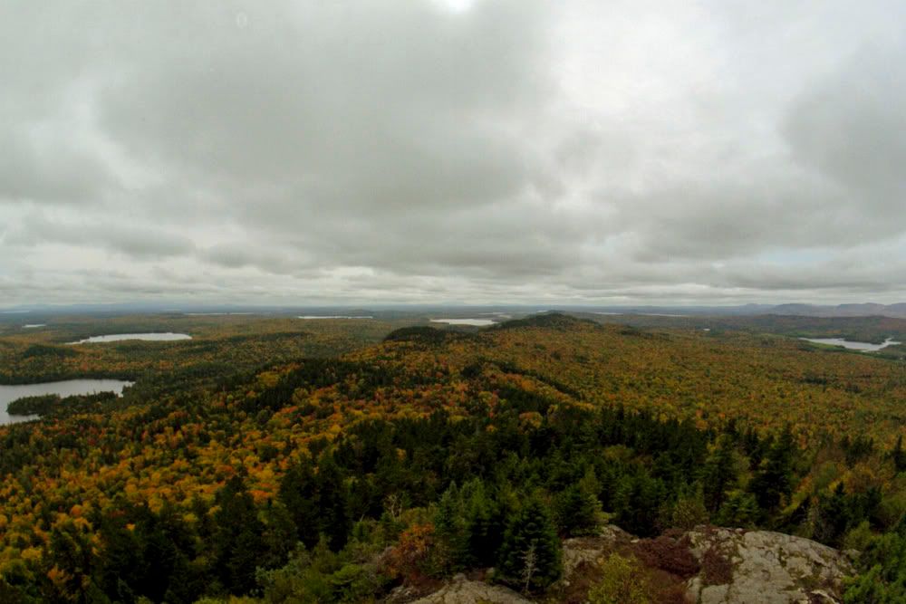
Elevation 1749' and quite a view, clouded over by the time I made it up but really amazing anyway.
Home after changing tire slashed by shale on the way out.
Trip 3
Mid October
More of the same but with win.
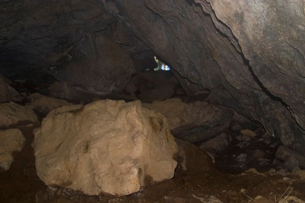
Found a mouse(mouse not moose) track through the balsam thicket past the abandoned ranger station, leads to the Ice Cave campsite then to the cave. Climbed down into the main chamber, about 60' in and down about a 40-45 degree angle and tucked into a low side room. The full extent must be done slithering through some narrow one way passages to another exit. Being alone I thought it unwise to traverse the nether regions and find out if there actually is ice down there. I'll save that for the canoe escapade that will involve a group of us. Fun was had by all, that would be me.
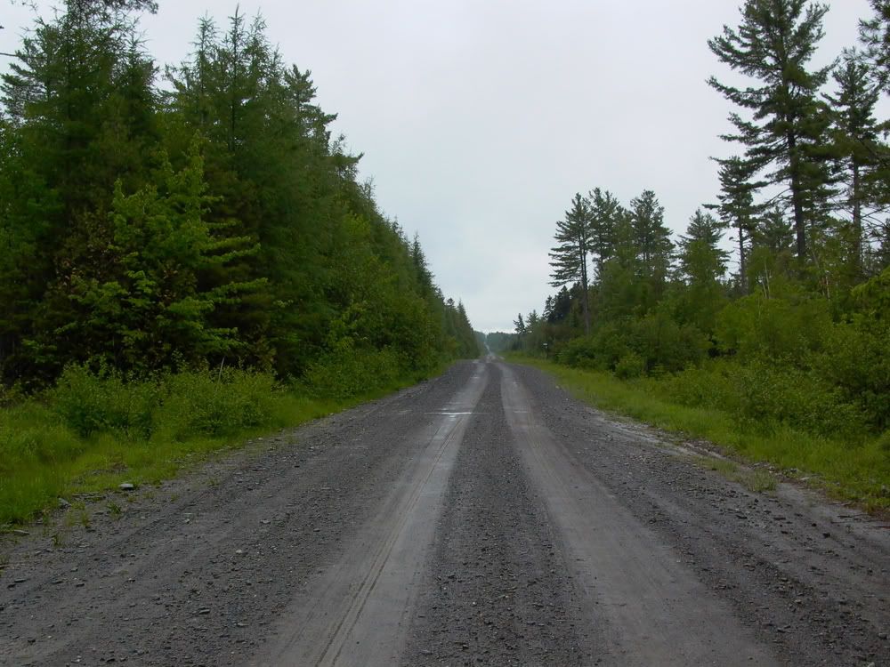
Heading down the Telos road in the rain kept the dust down anyway.
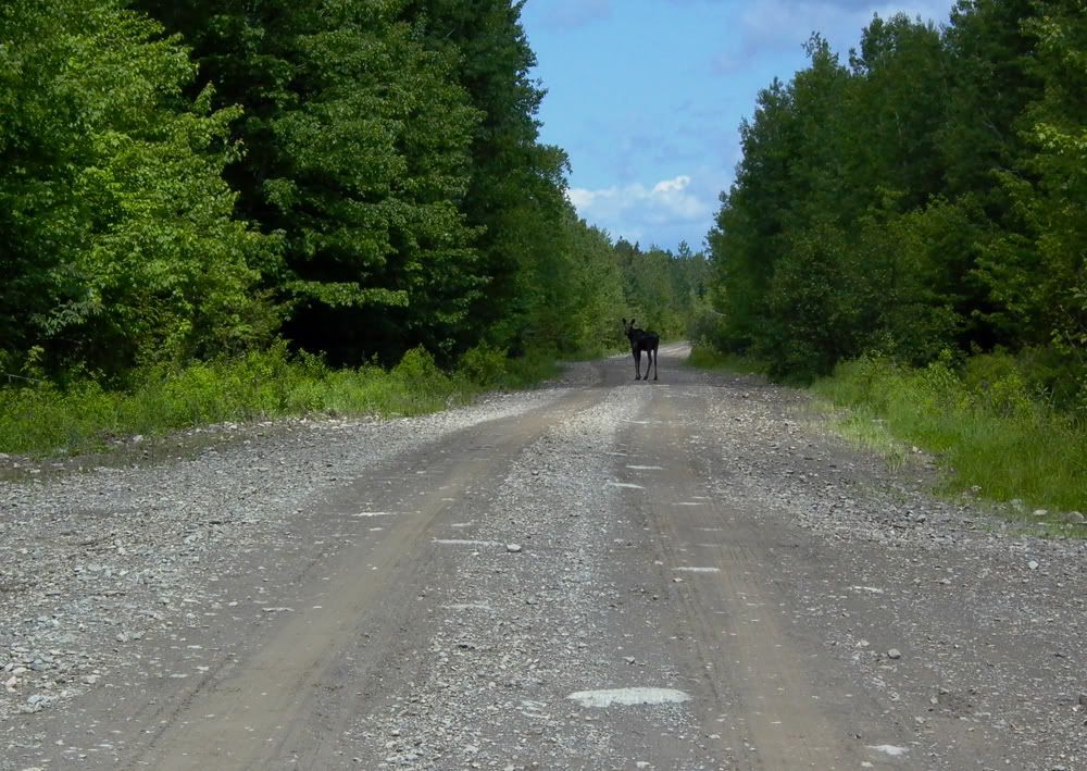
One of the 5 moose I'd see in 5 hours.
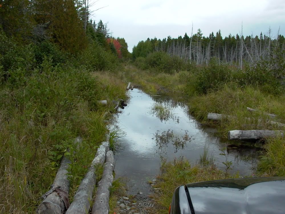
On the Harvester rd, my first puddle
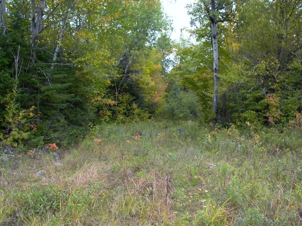
The overgrown and blocked by boulders Ice Cave rd.
This is the road, really.
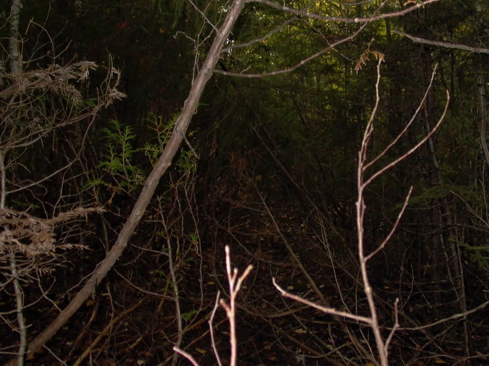
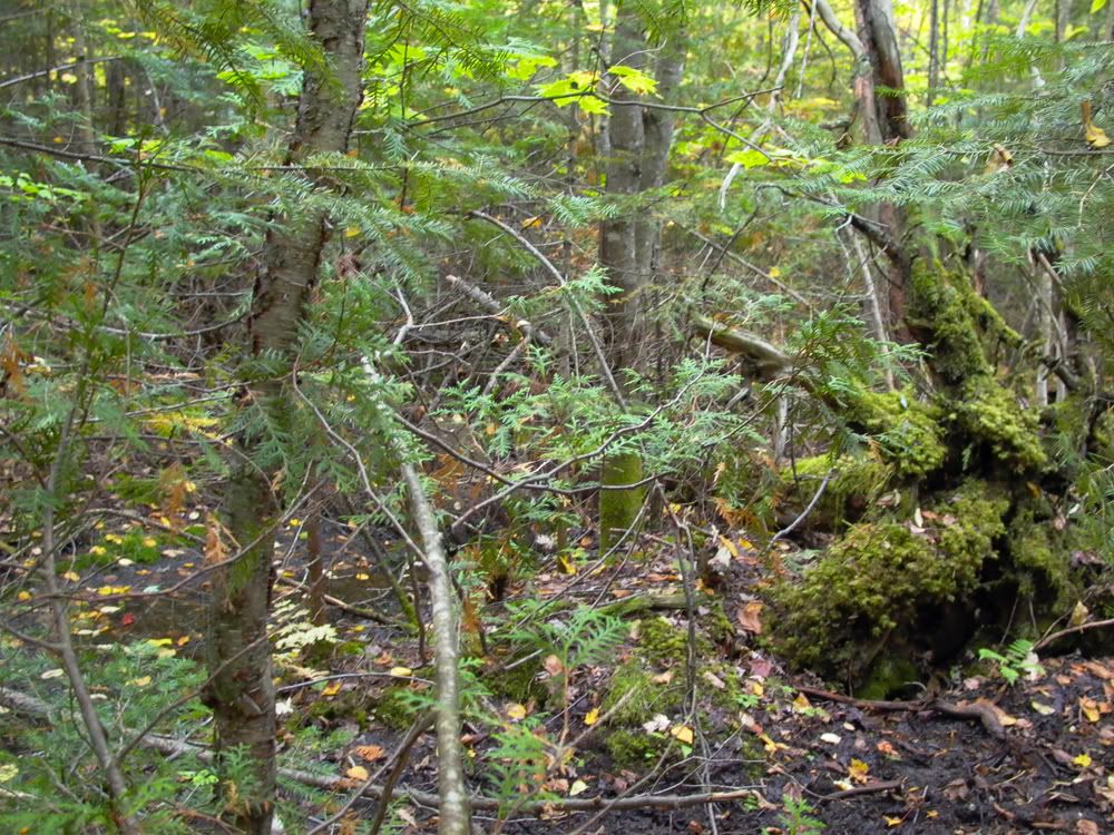
You get the idea
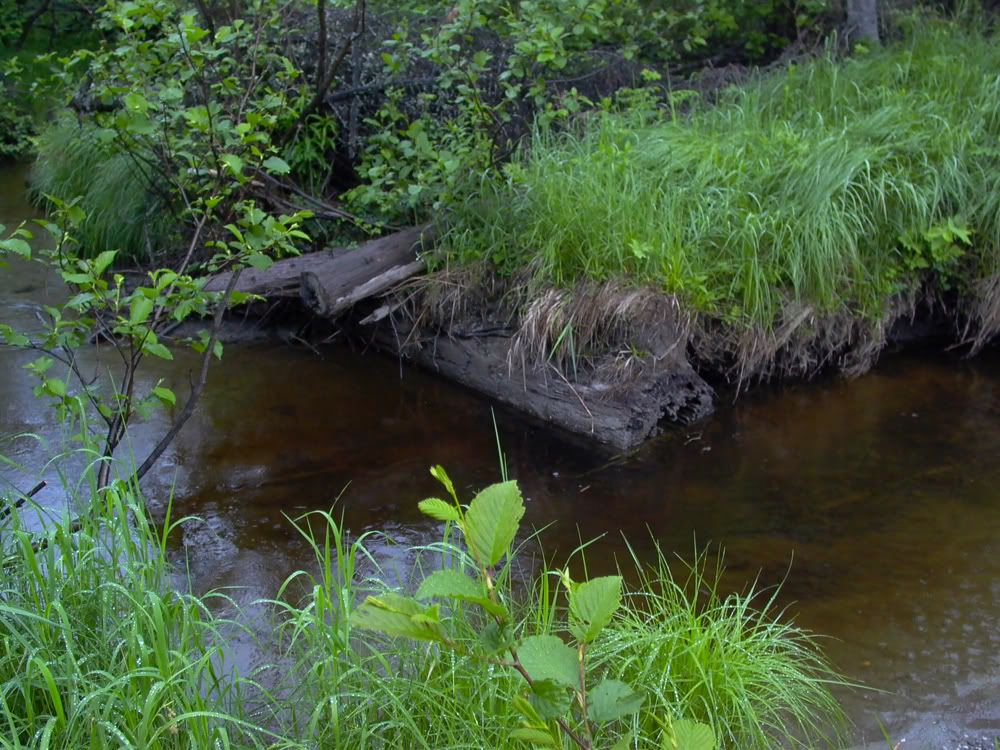
Washed out bridge along the way
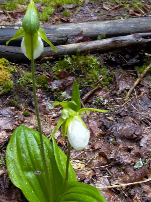
I've seen albino Lady Slippers but never a double flowered one
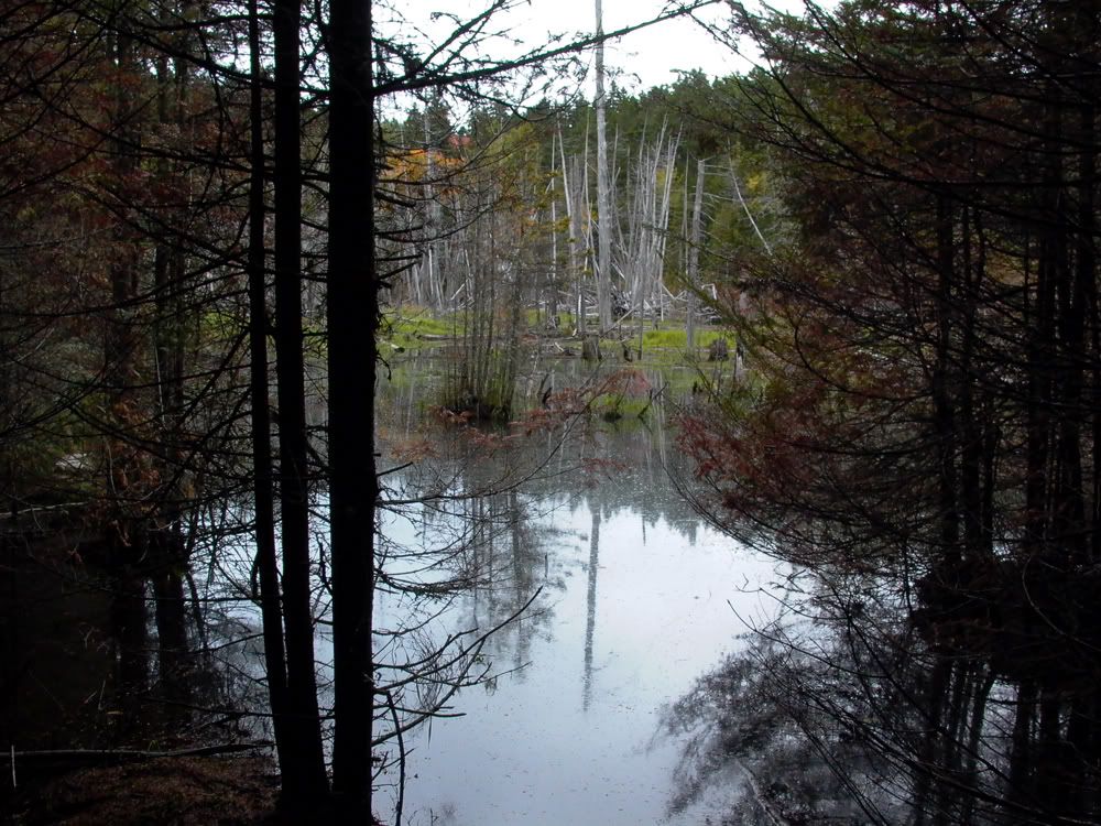
The "terminal bog"
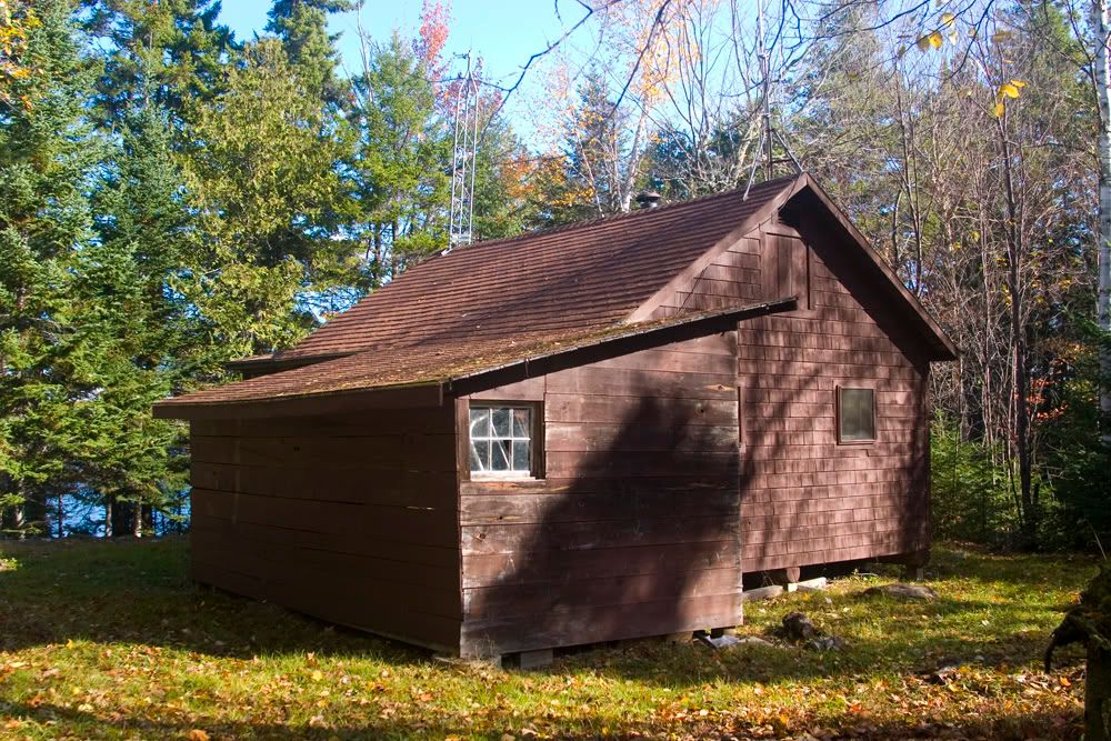
The abandoned ranger station
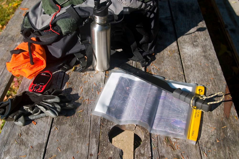
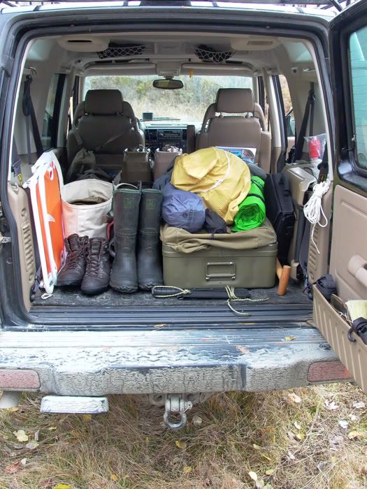
Some kit
From here a mash through more Balsam thicket brings you to the Ice Cave campsite. From there the cave is inland a bit.
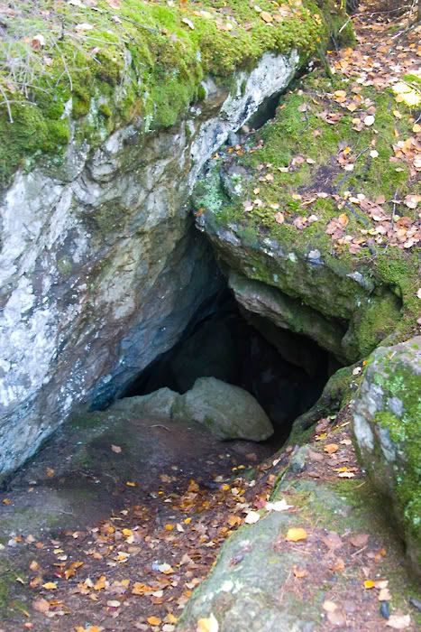
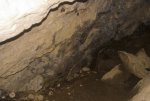
A few bats cling to the left wall
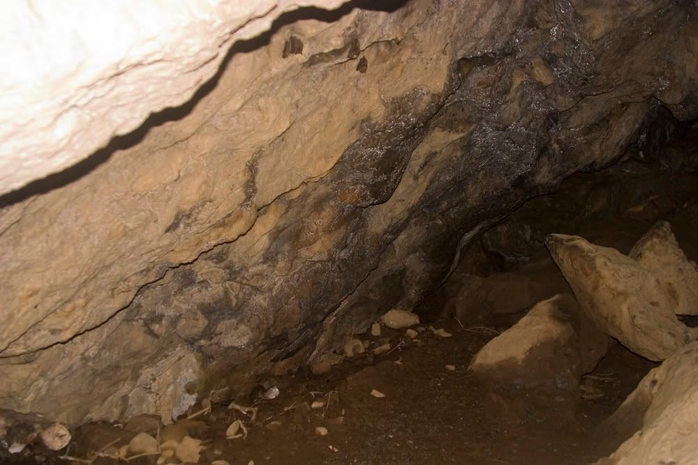
looking up from the main chamber
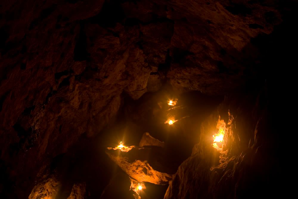
with some mood lighting
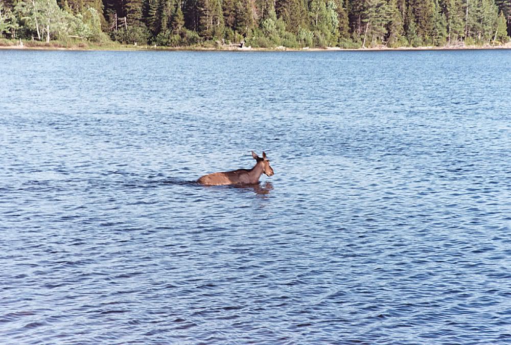
Off to N Round Pond campsite to catch this guy barrel out of the bush
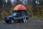
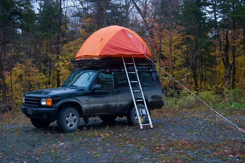
Trying out a roof rack platform since the tent fit. 4 1'x8'x5/8" slats that slide into a channel at either end. Stacked and strapped, it keeps the windage down on the road but easy to set up. It's a nice option for up there as there is so much road you can camp along though not the best surface for a tent. I liked being able to set up lakeside or if need be, up top along the way. Go-hobo-top-tent
Another interesting point is the abandoned Allagash Mountain firetower
Great views
The old Discovery, seems so luxurious now.
Thanks for looking.
The Ice Cave is located at the NW end of Allagash Lake in the Allagash Wilderness Waterway(AWW). The wilderness area lies within the North Maine Woods, basically the whole of NW Maine and encompasses more than 3,500,000 acres along with thousands of miles of logging road and really nothing else. It is a fissure cave, not too large, as Maine geology isn't prone to spawning big caves, with a length of about 950' and a depth of close to 70' Access is typically via the lake, by canoe then up a short trail. That's the way those with at least average intelligence get there, it's easy.
The Maine Atlas map 55 shows an old logging road that heads up towards the cave, meets an AWW survey trace and disappears (or runs into a pond depending on edition). Looked like it would be fun to try and find the Cave via an overland route. It only took 3 trips. In retrospect I'll add that it isn't really difficult, I just wanted excuses for going back.
The first of these was late May 2010, before the notorious black fly and the ubiquitous mosquito are out in force. I arrived mid day on a Friday after 5 hrs of driving, 2.5 on pavement 2.5 on private "road" beginning with the Golden rd. out of Millinocket then all the roads seem to be shale and clay.
Spent the afternoon trying to find the right old road, they are numerous, unmarked and often go nowhere or end in alder or balsam thicket. After fording 2 beaver created ponds in the road I set out on foot at the third, which after inspection spelled probable hydrolock for the truck. 2 miles further I realize this isn't it and it's looking like time to get back to the truck, find a camping spot and try again in the morning. After setting up camp at the N end of Round Pond, cooking some grub, I take a another look at the map and realize my mistake, head back out and locate the right "road," that accomplished, back to camp in time for the 5th moose of the day to stumble(they do look ungainly) out of the bush 20 yds from my tent and into the pond to swim across, pretty cool.
Day 2
Up just as the rain starts falling around 5:00, packed before things got too wet and thankful it's only a drizzle at this point. Head out in the rain to the bouldered trailhead, park , watch a black bear run across my path and start walking at about 7. It doesn't look too bad, at first.
Shortly it turns into aforementioned balsam thicket that is such a joy to mash through. Meandering down a moose track, the only real indication I'm on an old road is the feeling underfoot, not like a forest floor should feel. This and vintage edge effect growth is a helpful indicator of the right track. This first attempt was done with map and compass, helpful if you believe you are on the track the map is indicating. Not so much if you doubt its accuracy, which I did. It is just an old logging road, how accurate would they make it?
I pass old spurs laden with raspberry and slash. Normally in hiking situations coming across a road is an indication that you can get somewhere should you get lost. Here they lead nowhere in any direction. I'm trying to take in as much detail of my surroundings as I proceed but honestly I'm on a mission and miss a lot of things that one should pay attention to when basically bushwacking, along with wishing I'd brought the machete that is still in the truck to mark fallen trees. I cross a small stream in an alder thicket indicated on the map and continue, more of the same till about 4 miles out I'm at a swampy pond, I know I'm within .25mi of the cave I just have to get by this. Attempted numerous different tracks around it to no avail, more water or impenetrable thicket. The map shows a small pond a short distance past the cave and this is where I mistakenly believe I am. With the rain I decide to head back, try another time. On the return leg, spent a lot of time wondering if I'm still on track, before re-crossing the stream I realize I've never been here before, that's an interesting feeling in the middle of nowhere down an abandoned overgrown road off yet another one slightly less so. Nothing looks familiar and I'm in raspberry, I didn't walk through any raspberry. What the...where the hell am I? Doesn't matter that I've got a map and compass and that my truck is less than 3 miles away somewhere, panic is a primal thing and dashing off in different directions in search of something familiar when you weren't really paying attention in the first place isn't that effective. As a matter of fact It made me more confused, but for those ten minutes I knew I was alive. And I'll confess, I enjoyed it, probably why I was out there in the first place. Anyway, after putting the frontal lobe back in gear I retraced my steps and found where I missed the particular balsam thicket to mash through and all was right with the world. Back to the truck to make my way home in the rain. Moose number 6 spotted on the drive out. Epic fail.
Epic fail Trip 2
Late September
First day, in rain again make the trek. this time with satellite/topo hybrid map and a mapping gps. After a perusal of some pretty good sat images, I realize the pond I was stopped by last trip was not the one on my previous map. It was a boggy area before the cave. That was helpful but new info and sat pics only got me to the abandoned ranger station where I couldn't believe there wasn't a discernible trail to the Ice Cave campsite 1/4 mile away. Typically trails aren't allowed, it is "wilderness" after all.
Feeling sure of success this time was my downfall. I made a late morning start and at 2:30, still no further along, found myself stopped by the same swampy bog and thickets. Even tried all out hacking with the remembered machete-futile.
Back to the truck under clearing skies then off to Round Pond camp and more swimming moose.
Day2
Abandoned fire tower--Allagash Mountain.
Elevation 1749' and quite a view, clouded over by the time I made it up but really amazing anyway.
Home after changing tire slashed by shale on the way out.
Trip 3
Mid October
More of the same but with win.
Found a mouse(mouse not moose) track through the balsam thicket past the abandoned ranger station, leads to the Ice Cave campsite then to the cave. Climbed down into the main chamber, about 60' in and down about a 40-45 degree angle and tucked into a low side room. The full extent must be done slithering through some narrow one way passages to another exit. Being alone I thought it unwise to traverse the nether regions and find out if there actually is ice down there. I'll save that for the canoe escapade that will involve a group of us. Fun was had by all, that would be me.
Heading down the Telos road in the rain kept the dust down anyway.

One of the 5 moose I'd see in 5 hours.

On the Harvester rd, my first puddle

The overgrown and blocked by boulders Ice Cave rd.

This is the road, really.

You get the idea

Washed out bridge along the way

I've seen albino Lady Slippers but never a double flowered one

The "terminal bog"

The abandoned ranger station

Some kit

From here a mash through more Balsam thicket brings you to the Ice Cave campsite. From there the cave is inland a bit.

A few bats cling to the left wall

looking up from the main chamber

with some mood lighting

Off to N Round Pond campsite to catch this guy barrel out of the bush

Trying out a roof rack platform since the tent fit. 4 1'x8'x5/8" slats that slide into a channel at either end. Stacked and strapped, it keeps the windage down on the road but easy to set up. It's a nice option for up there as there is so much road you can camp along though not the best surface for a tent. I liked being able to set up lakeside or if need be, up top along the way. Go-hobo-top-tent

Another interesting point is the abandoned Allagash Mountain firetower

Great views


The old Discovery, seems so luxurious now.

Thanks for looking.
Attachments
Last edited:

