Box Rocket
Well-known member

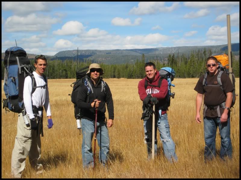
I just finished a quick overnight backpacking trip into the SW corner of Yellowstone NP with two of my brothers and two cousins. It was a great time. This was an area of Yellowstone that I have not been to before and there are lots of "backcountry" areas in the park that I haven't seen. My younger brother backpacks into the park frequently and is very familiar with this area so he spearheaded the trip.
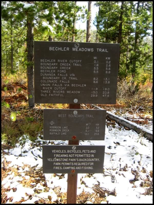
We left from Idaho Falls, Idaho and drove through Ashton, ID to the Bechler ranger station to secure our trip permits and campsite location as well as purchase our special fishing licenses for the park. The NP service has a mandatory ~20 min video on backcountry travel that we watched prior to heading out. The primary focus of the video is to describe the rules and regulations of backcountry travel in the park as well as substantial information about being prepared for encounters with bears. This particular area of the park has a few grizzlies but the area we would be in would have a higher population of black bears. We were told there were several sows with cubs (one sow with a set of twins cubs). There are also wolves that have ranged into this part of the park as well.
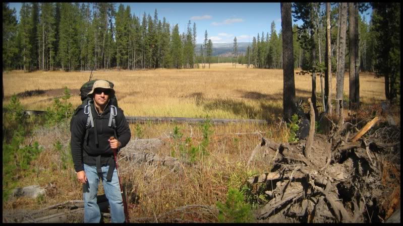
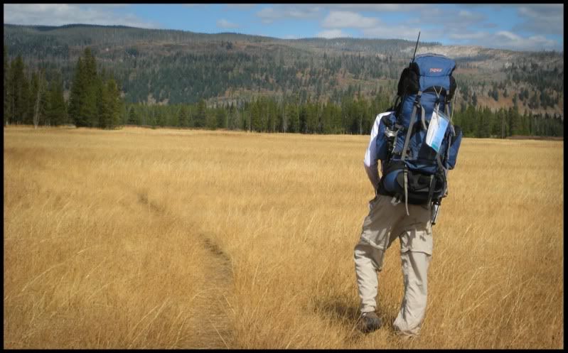
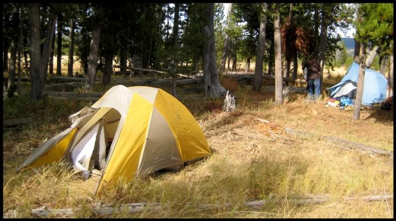
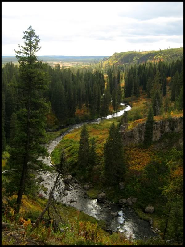
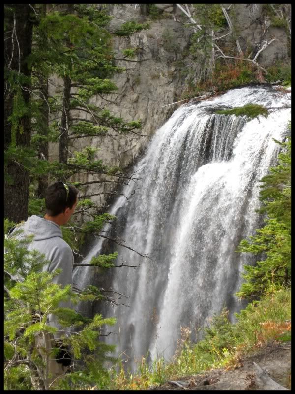
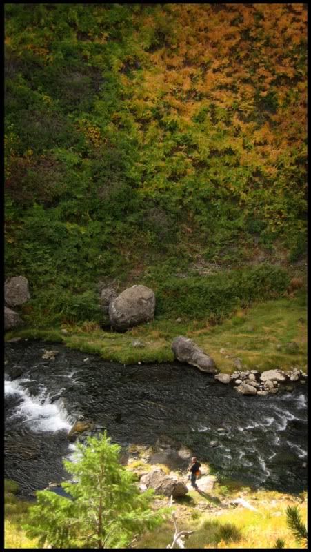
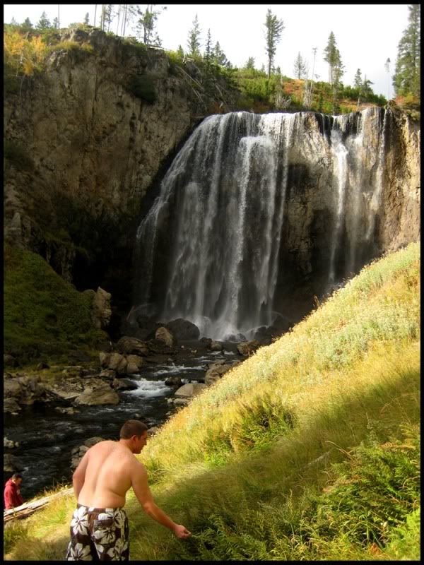
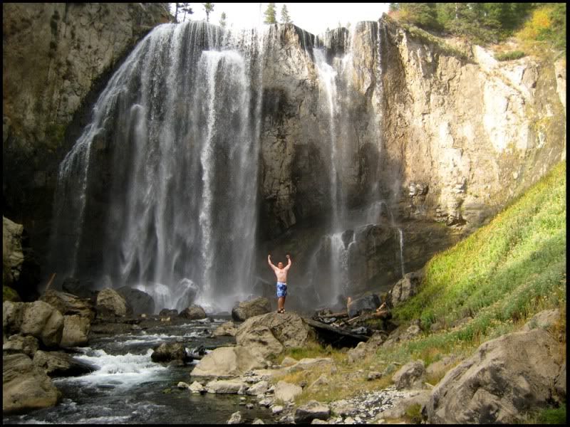
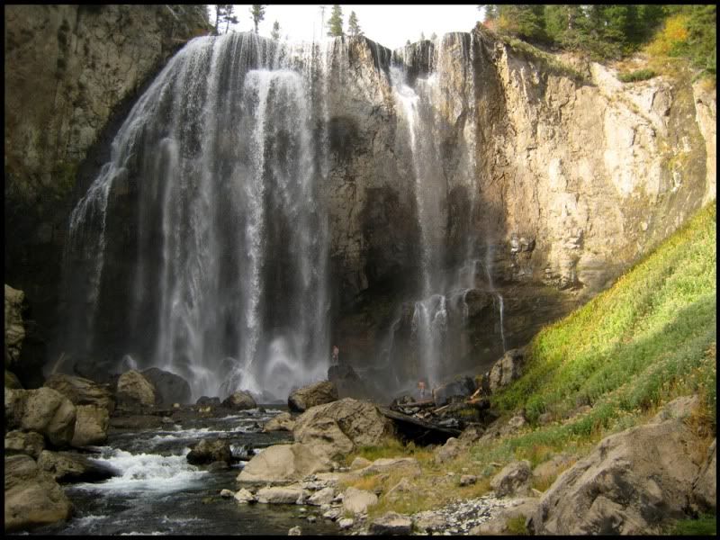
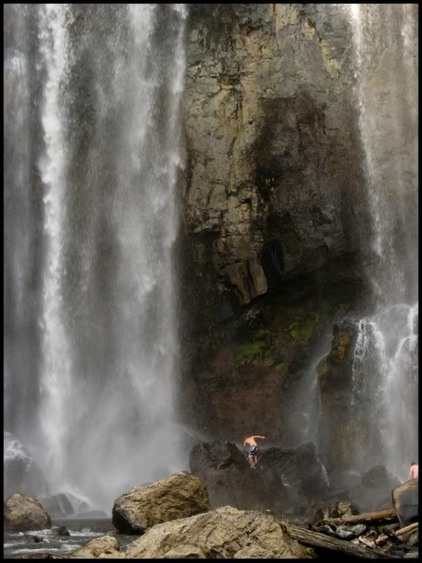
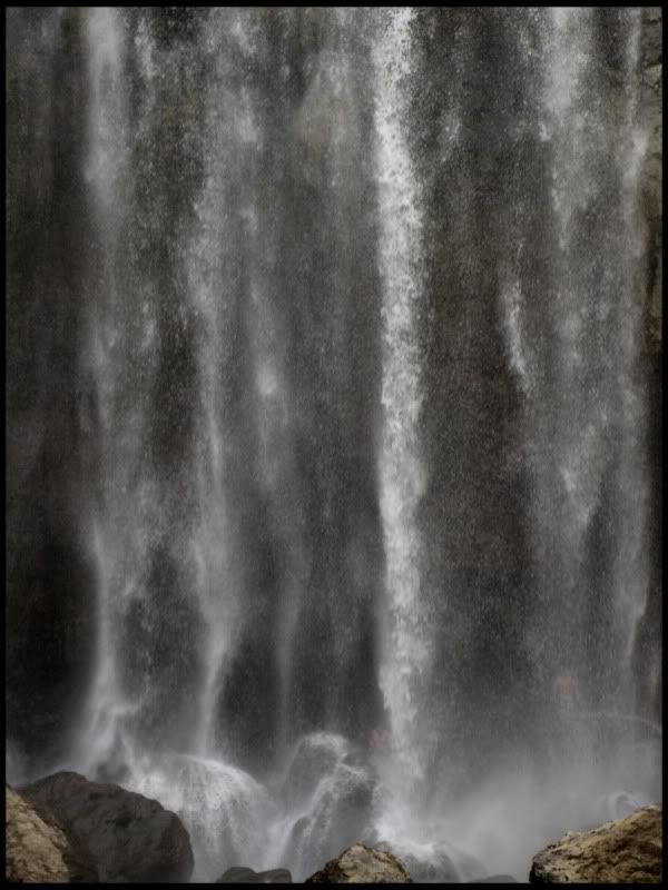
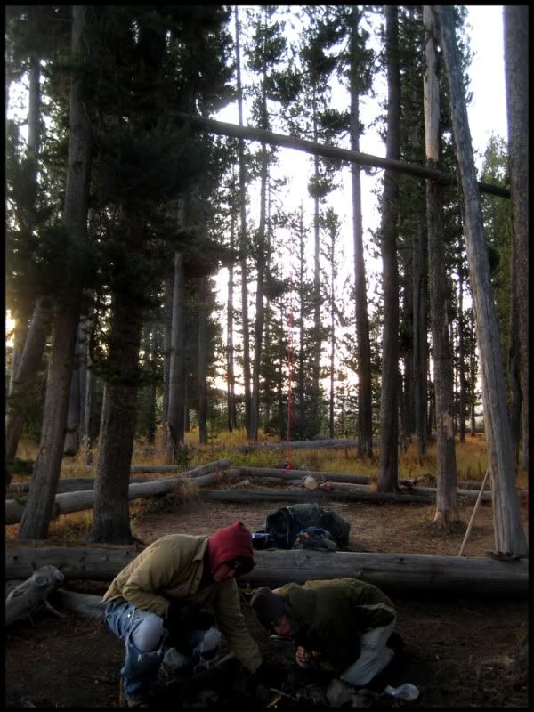
Our campsite was camp 9A1 along the Boundary Creek in the Bechler Meadows which was approx. 5 miles in. On the hike in we had one river crossing at Bartlett Slough which was about 2.5' deep. It was COLD, but felt good on my sore knees. We would leave our gear at the campsite and continue hiking another ~3 miles to the Silver Scarf and Dunanda Falls. Dunanda Falls is a specatular fall with the brink of the falls ~150' above the base of the canyon. There are hot springs that flow into the river just below the falls. The day before the trip local temps dropped from the high 70s down to mid 30s during the day and there were reports of up to 4" of snow. We left early Friday morning and weather forecasts were for clearing skys during the day with a chance of thunderstorms that evening with daytime highs in the low 50s. Needless to say it was cool (perfect hiking temps) but when we got to the falls it had started to cloud up and the temps had dropped a little. The spray off the falls would cause you to be soaked through if you got within 50 meters of the base of the falls. We all put on our sandals and swimsuits and clambered up the mossy rocks to the base of the falls and were even able to get in behind the falls. Pretty surreal to stand behind falls of that size. But *DANG* was it cold with the ambient temps as cool as they were and the cold water from the river beating down on us. Good thing the hot springs were close. We sat in the springs for about 30 min until it looked like the storm was immenent. We high-tailed it back to camp before it hit. Fortunately the storm never materialized. We fished that evening in the Boundary Creek. My brother had some good luck catching a couple rainbows before it got dark. Just before heading back to camp my brother on I were standing on the bank of the stream and on the opposite bank there was a small stand of brush. It was nearly dark at this point, but the brush was slightly darker than all the dead grasses of the meadow. Just in front of the brush was a large black shape that we watched for a few minutes. We couldn't make out what it was in the low light, but finally it moved. We still weren't sure what it was but with it's size it was either a black bear, or a moose laying down. Pretty cool since it was only about 30 meters away, just wish it was light enough to have seen in clearly.
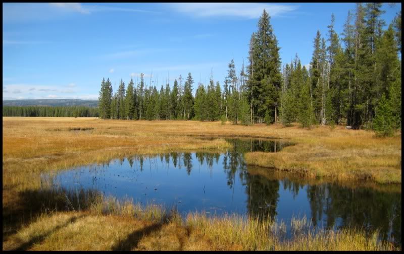
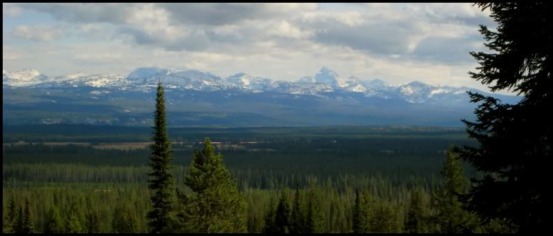
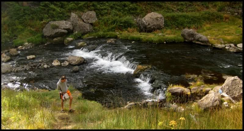
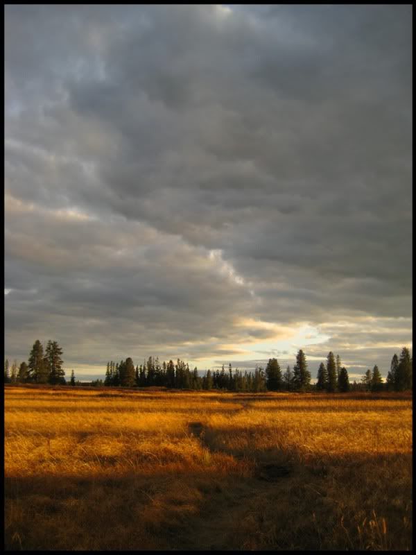
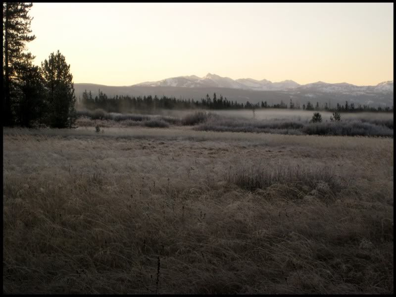
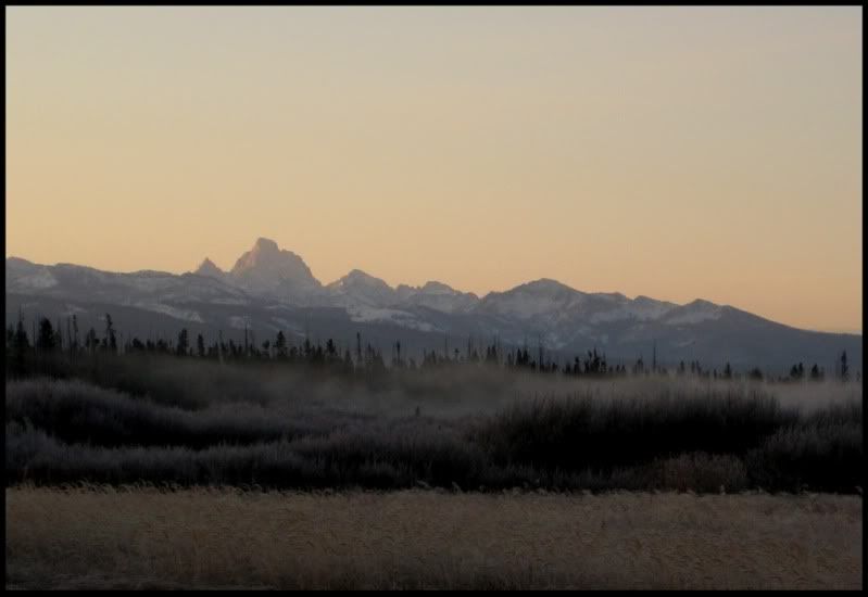
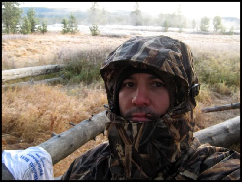
That night temps dropped to the low 20s. We woke to clear skys with frost on everything. There was low fog over Boundary Creek and it made for a really pretty morning as we looked across the frost covered meadow to see the snow-capped Tetons in the distance. After a warm breakfast of instant oatmeal and cocoa, we did some more fishing. I must have had some good mojo because I caught fish on 3 of my first 4 casts. All rainbows ranging from about 12" for the smallest up to about 16" for the biggest. My cousin found some fresh wolf tracks along the bank that were slightly larger than the palm of your hand. Pretty cool. We didn't keep any of the fish we caught that day although we did keep one good size one that my brother caught the night before. It was a nice dinner addition.
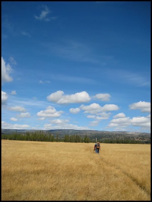
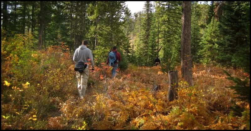
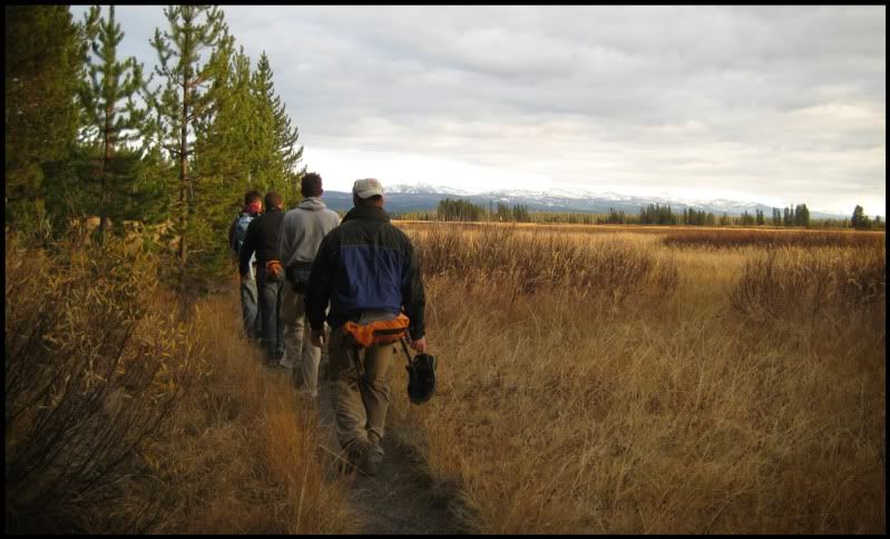
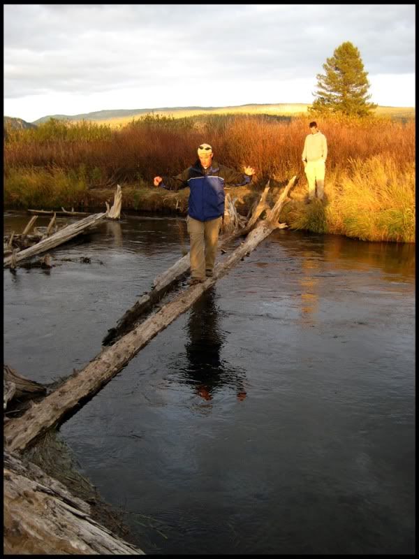
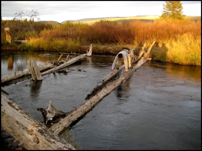
By about noon we were packed and ready to head back out. We made the crossing on a very thin log across Boundary Creek that was barely out of the water. Actually crawled on our hands and knees across the log as it was difficult to balance with our packs. Then headed "cross-country" through the tall grass across Bechler Meadows until we reached the Bechler Meadows trail. We would follow this trail back out to the ranger station as this trail didn't have any rivers we would need to ford. There is a cool hanging bridge across the Bechler River just before entering the forest again for the last several miles back to the ranger station.
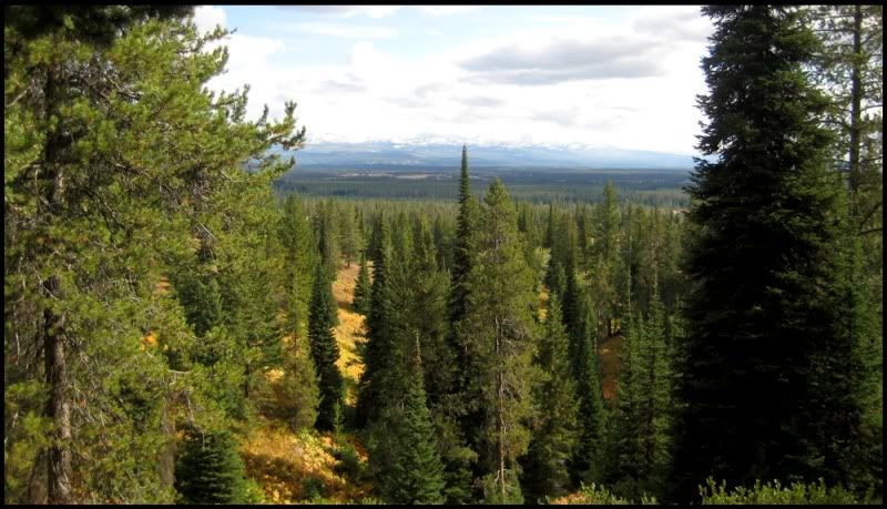
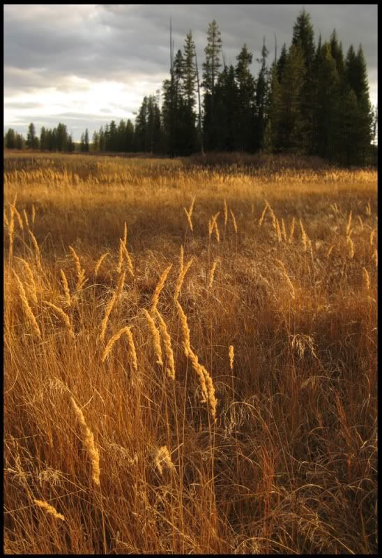
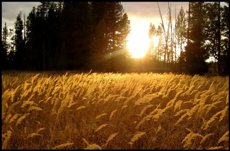
This was a great hike in some absolutely beautiful country. It was particularly good to spend time with my brothers and cousins who I haven't done much with in a long time. Big thanks to my youngest brother Jonathan for putting the trip together and for his knowledge of the area. It was a total blast and we're already making plans for another trip somewhere next year. This is a pretty mellow hike with very little elevation change for the duration. We were able to hike quite quickly as a result. We had probably missed the best of the fall colors by about a week, but it was still very pretty. Summer hikes in the area can have thick mosquitos, but this fall hike was nice as it was far too cold for bugs. I highly recommend this area to anyone looking for a good somewhat remote hike with good camping/fishing in one of the nations premier National Parks. I'm planning on possibly hiking it again next year sometime with my two boys.
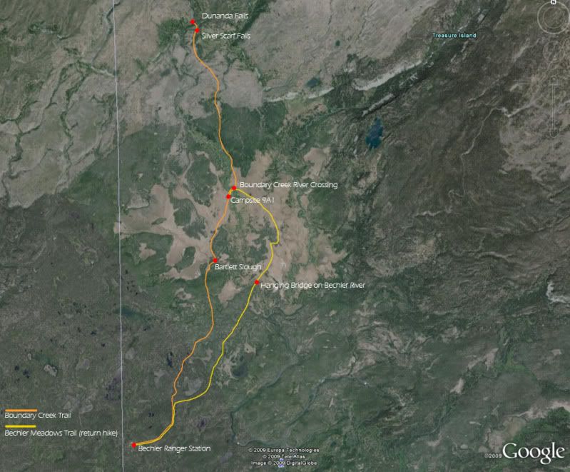
Here are some approximate coodinates of key points:
Bechler Ranger Station: 44*09'00.26" N 111*02'46.06" W
Bartlett Slough: 44*11'29.81" N 111*01'03.83" W
Campsite 9A1: 44*12'25.06" N 111*00'49.06" W
Boundary Creek Crossing: 44*12'31.39" N 111*00'44.18" W
Silver Scarf Falls: 44*14'48.99" N 111*01'15.85" W
Dunanda Falls: 44*14'53.55" N 111*01'27.41" W
Hanging Bridge at Bechler River: 44*11'12.07" N 111*00'17.19" W
On to some pics. These are mainly chronological but I haven't been through all of them yet so these are from the beginning of the hike through our arrival at Dunanda Falls.
Approximate Route
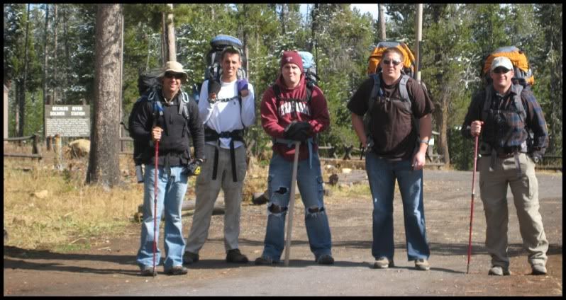
I'm on the left with my two brothers and two cousins at the ranger station
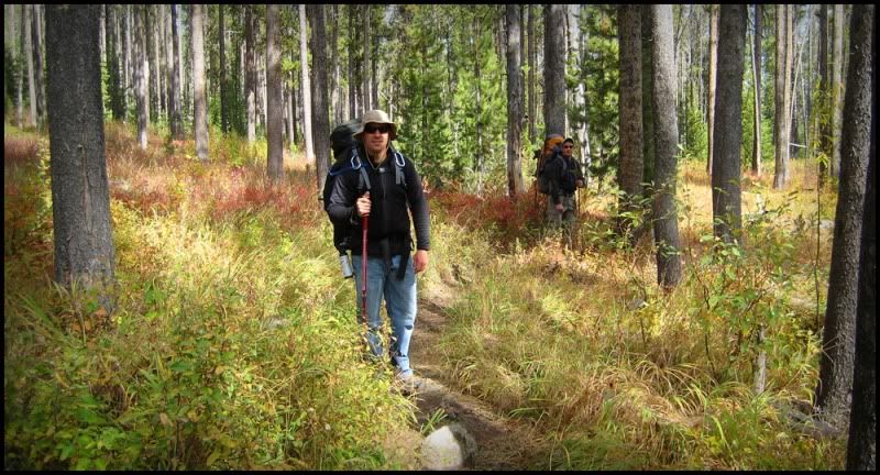
Just breaking out of the forest near Bartlett Slough
Bartlett Slough
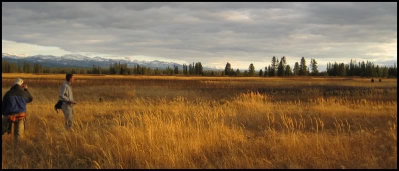
Getting ready to head across Bechler Meadows to our campsite
Last edited:
")