FortyMileDesert
Adventurer
091003 - LR Trek 167 – Elephant Head Rock – 03 October 2009
We are underway; heading north after breakfast at a bit before 8:00 on Nevada State Highway 447 that runs from Wadsworth to Gerlach. The day promises to be cold and windy with a chance of snow after about 11:00. It’s the usual suspects: me and son-in-law Ben.
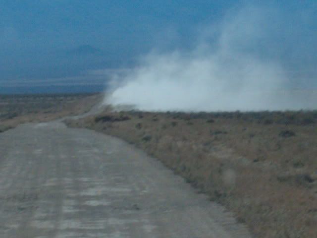
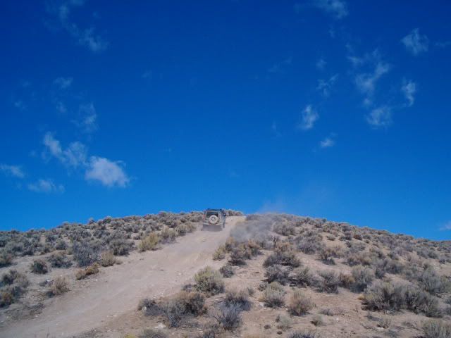
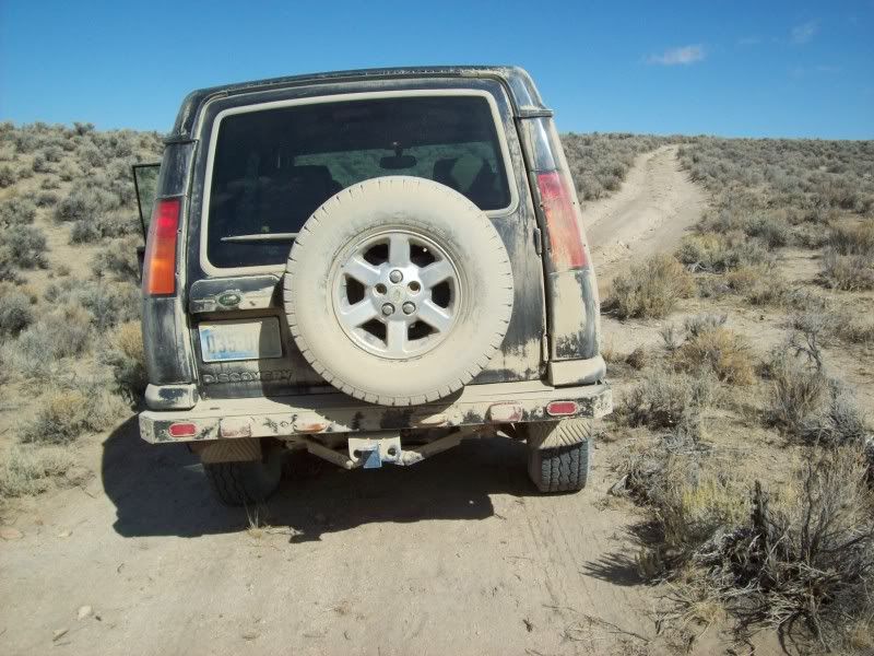
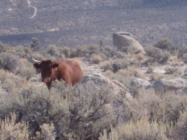
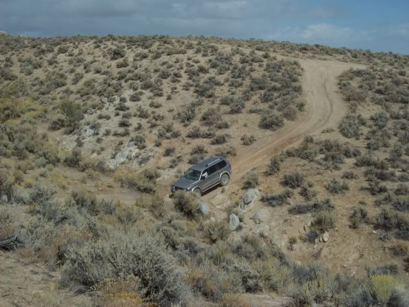
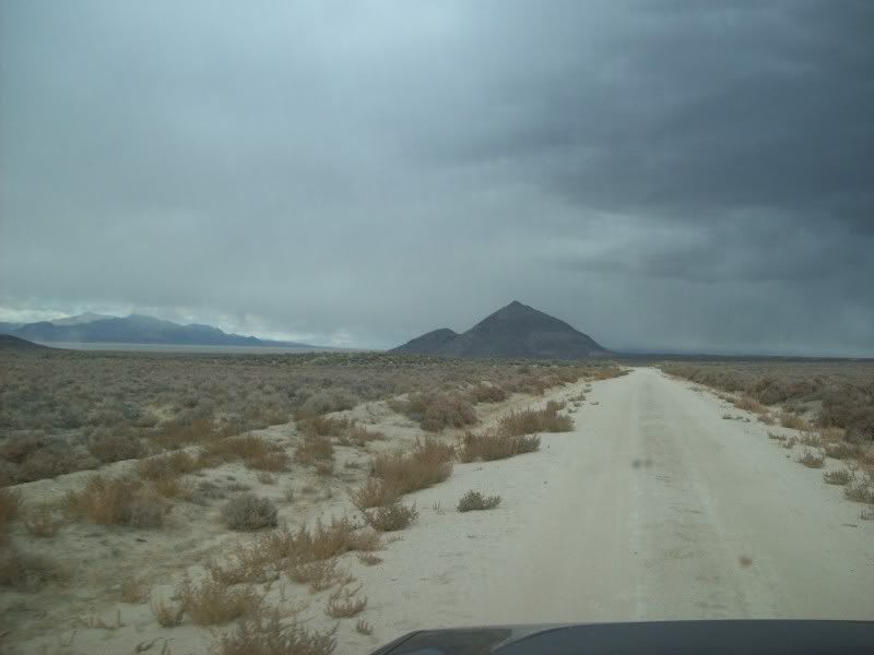
Sixty some miles up the road, in the Poito Valley, between Kumiva Peak to the east and Granite Peak to the west, we turn off-road and head over the summit pass of the Selenite Range a bit south of the Cowles Ranch headquarters. It’s a bit windy on top with temperature in the mid forties. We stop on top to air down and then descend Betty Canyon on our way out into the center of Kumiva Valley. From there its north for about twenty miles towards Dry Mountain, around the end of a small un-named mountain range and a bit south again through some very loose dust to the mouth of Trail Canyon. By this time both trucks are a light tan color.
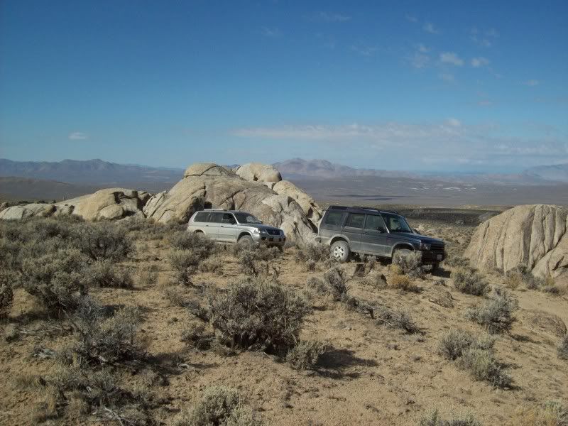
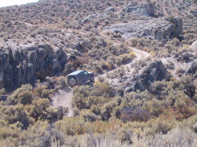
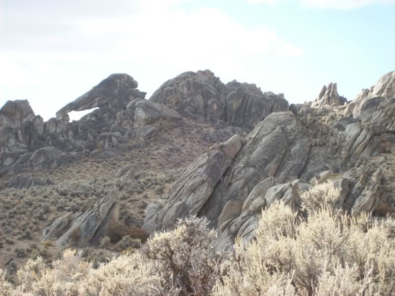
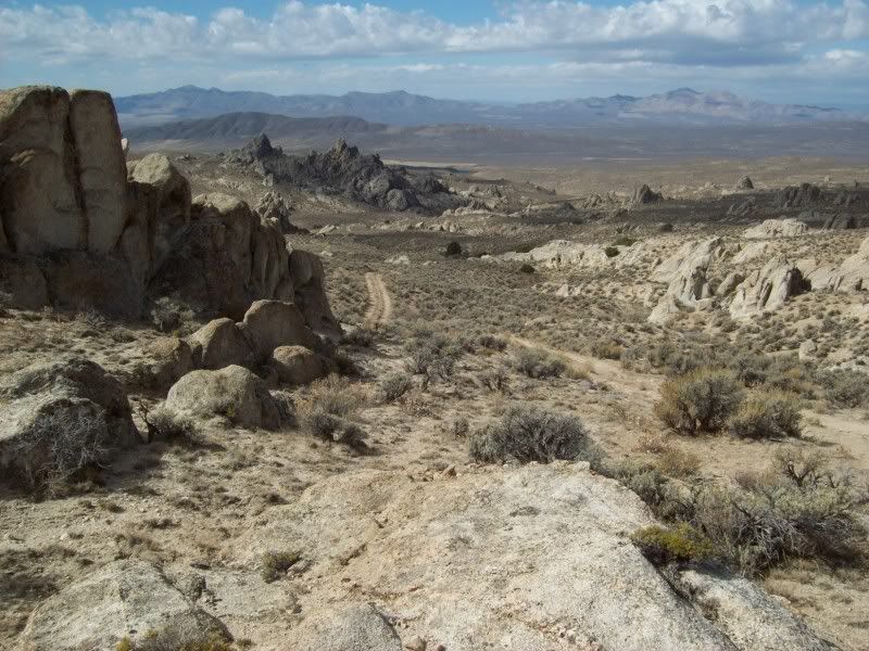
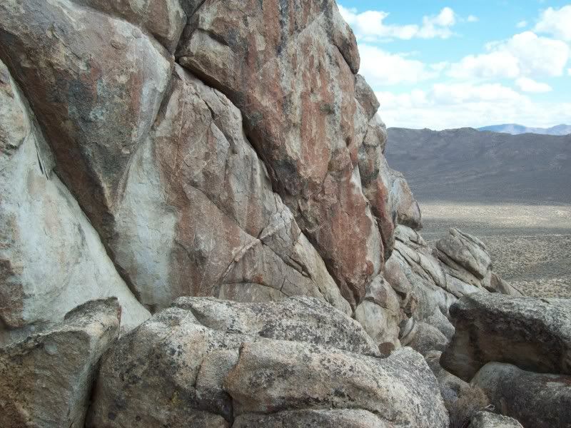
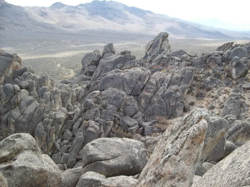
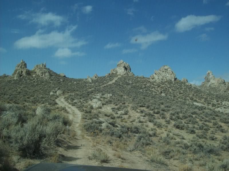
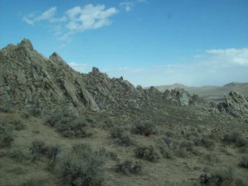
Trail Canyon is easy going, mostly in the wash, for the first three or four miles and then the trail in the bottom of the wash just ends. There is, however, a steep trail climbing out of the north canyon wall which takes us up onto the top of the spire and boulder covered granite plateau, misnamed “The Lava Beds”. To the south and east the sky is blue, but to the west and north the storm clouds are beginning to set in. In fact it looks as if it might be starting to rain or snow out on the Black Rock Playa.
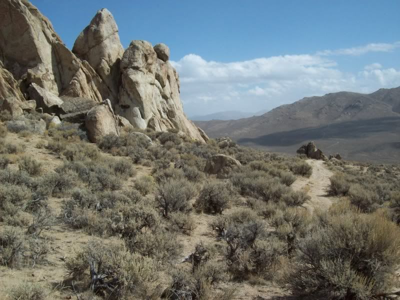
The couple of trails that I had thought of exploring on the way to the crest near Mustang Spring, in fact do not exist. Apparently they are just some dry watercourses through the granite that look like trails on the satellite photos. In fact, throughout the day, I’m going to find that this is true of many of the trails that I had thought I had discovered. Some watercourses, some bare granite linear outcrops and some just well used cattle trails.
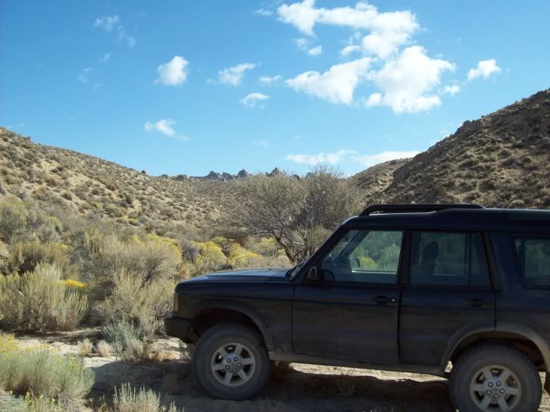
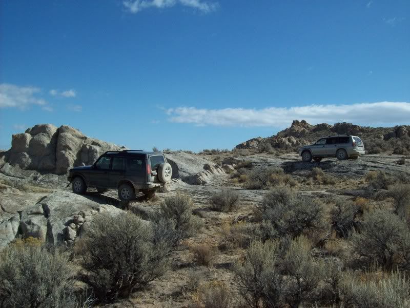
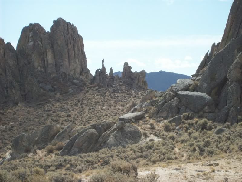
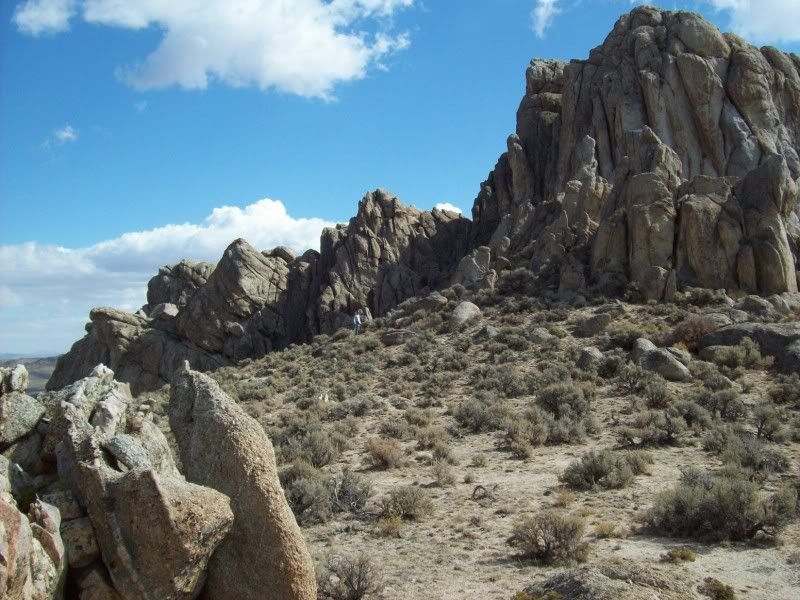
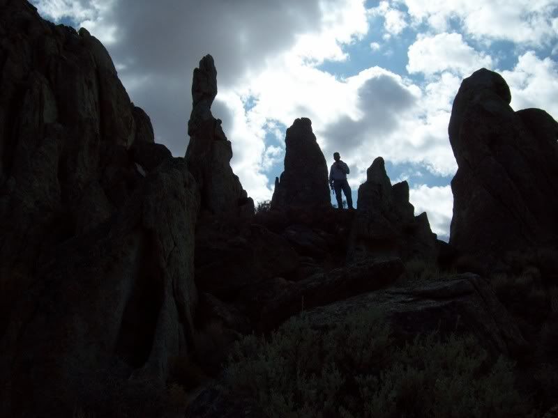
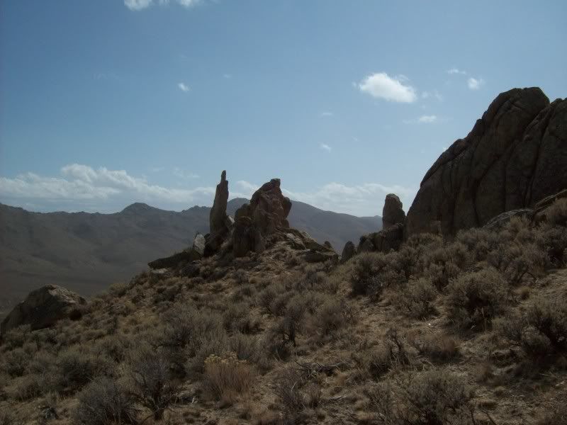
We do a bit of exploring and posing up on the Eagle Rock area and then continue east and then south towards our ultimate destination the Elephant Head Rock. On the way to the rock we explore a westerly trail that brings us to the crest of the trail springs granite amphitheatre. The trail appears to continue on down into the springs area but I know for a fact that it doesn’t continue out the bottom. There might be a trail that comes out to the south. I decide we’ll look for its exit later. We do a bit of hiking around to the west of the Elephant Head up to some inspiring spires. We took lots of photos.
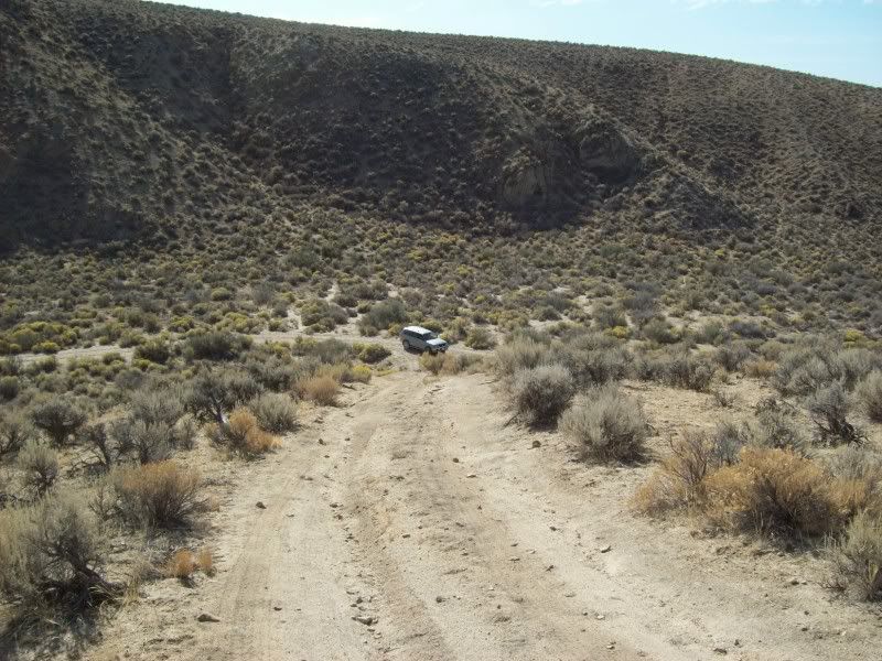
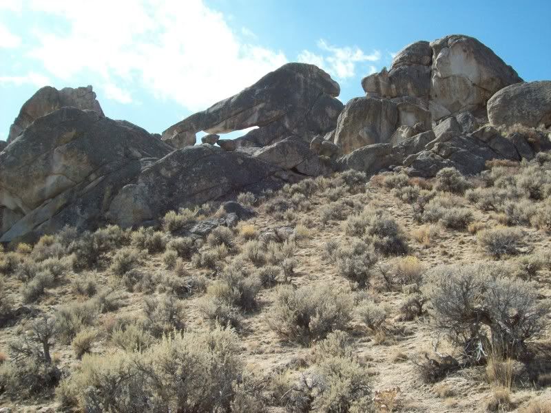
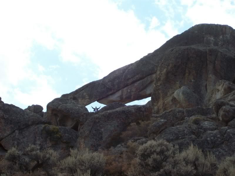
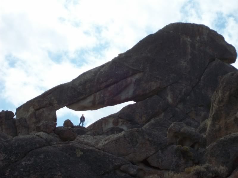
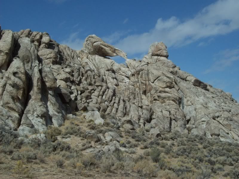
Finally, arriving near the Elephant Head I find that the trail on the topo map no longer exists but a loop trail on the satellite photos does. That’s pretty typical of Nevada topo maps. We are able to drive within about 200 yards of the Elephant Head, then we are hiking again through the boulders up towards the head. Nearing the top we split up. As it turns out I wound up near the top of and behind the head while Ben was able to get up into the actual arch below the trunk. Anyway after I climbed down I was able to get a couple of good shots of Ben.
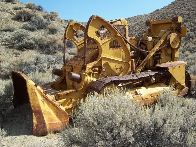
We leave the head and continue down a southerly trail to look for the trail that might take us to the far end of that Trail Springs Trail. It turns out that we end up at another tremendous view on top of the ridge but the trail does not continue. Eventually we continue south down an un-named canyon heading back towards Kumiva Valley; making a short stop at some prospects where an old dozer has been abandoned. By now it is about 1:30 and we have a bit of lunch.
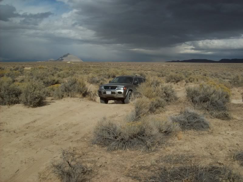
By the time we get to Twin Buttes Springs it is 2:30. A few cowboys, in pickups, are setting up some portable pumps. With some big thunderheads approaching, I decide that instead of running south ninety miles across dusty trails that will be turning to mud; we should go north to the Black Rock and then west to Gerlach where we can catch the pavement back to Fernley.
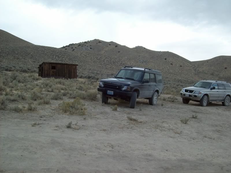
On the way to the Black Rock, I find a very sandy trail that we explore over to the site of Teomile just under the shadow of Selenite Peak. It turns out that Teomile is a very good spring, some salt licks and an abandoned bunkhouse. We then continue on towards Gerlach.
Running south on the highway we get a few snow flurries and a lot of wind. We are back in Fernley at about 5:30.
We are underway; heading north after breakfast at a bit before 8:00 on Nevada State Highway 447 that runs from Wadsworth to Gerlach. The day promises to be cold and windy with a chance of snow after about 11:00. It’s the usual suspects: me and son-in-law Ben.
Sixty some miles up the road, in the Poito Valley, between Kumiva Peak to the east and Granite Peak to the west, we turn off-road and head over the summit pass of the Selenite Range a bit south of the Cowles Ranch headquarters. It’s a bit windy on top with temperature in the mid forties. We stop on top to air down and then descend Betty Canyon on our way out into the center of Kumiva Valley. From there its north for about twenty miles towards Dry Mountain, around the end of a small un-named mountain range and a bit south again through some very loose dust to the mouth of Trail Canyon. By this time both trucks are a light tan color.
Trail Canyon is easy going, mostly in the wash, for the first three or four miles and then the trail in the bottom of the wash just ends. There is, however, a steep trail climbing out of the north canyon wall which takes us up onto the top of the spire and boulder covered granite plateau, misnamed “The Lava Beds”. To the south and east the sky is blue, but to the west and north the storm clouds are beginning to set in. In fact it looks as if it might be starting to rain or snow out on the Black Rock Playa.
The couple of trails that I had thought of exploring on the way to the crest near Mustang Spring, in fact do not exist. Apparently they are just some dry watercourses through the granite that look like trails on the satellite photos. In fact, throughout the day, I’m going to find that this is true of many of the trails that I had thought I had discovered. Some watercourses, some bare granite linear outcrops and some just well used cattle trails.
We do a bit of exploring and posing up on the Eagle Rock area and then continue east and then south towards our ultimate destination the Elephant Head Rock. On the way to the rock we explore a westerly trail that brings us to the crest of the trail springs granite amphitheatre. The trail appears to continue on down into the springs area but I know for a fact that it doesn’t continue out the bottom. There might be a trail that comes out to the south. I decide we’ll look for its exit later. We do a bit of hiking around to the west of the Elephant Head up to some inspiring spires. We took lots of photos.
Finally, arriving near the Elephant Head I find that the trail on the topo map no longer exists but a loop trail on the satellite photos does. That’s pretty typical of Nevada topo maps. We are able to drive within about 200 yards of the Elephant Head, then we are hiking again through the boulders up towards the head. Nearing the top we split up. As it turns out I wound up near the top of and behind the head while Ben was able to get up into the actual arch below the trunk. Anyway after I climbed down I was able to get a couple of good shots of Ben.
We leave the head and continue down a southerly trail to look for the trail that might take us to the far end of that Trail Springs Trail. It turns out that we end up at another tremendous view on top of the ridge but the trail does not continue. Eventually we continue south down an un-named canyon heading back towards Kumiva Valley; making a short stop at some prospects where an old dozer has been abandoned. By now it is about 1:30 and we have a bit of lunch.
By the time we get to Twin Buttes Springs it is 2:30. A few cowboys, in pickups, are setting up some portable pumps. With some big thunderheads approaching, I decide that instead of running south ninety miles across dusty trails that will be turning to mud; we should go north to the Black Rock and then west to Gerlach where we can catch the pavement back to Fernley.
On the way to the Black Rock, I find a very sandy trail that we explore over to the site of Teomile just under the shadow of Selenite Peak. It turns out that Teomile is a very good spring, some salt licks and an abandoned bunkhouse. We then continue on towards Gerlach.
Running south on the highway we get a few snow flurries and a lot of wind. We are back in Fernley at about 5:30.