Offroad Adventurer
New member

Two years ago I left Cape Town on one of my regular exploratory trips to the Northern Cape.
It was August and I found myself on the N7 as the sun was setting. There had been heavy rain locally and in the Northern Cape and the road had an orange tinge as the setting sun reflected off the wet road.
The plan was to overnight in Garies and then make our way north traversing the Namaqua Park. Garies caravan park is always a dump and when we arrived after midnight our headlights highlighted long grass and unkept sites. We had a quick coffee and then climbed into our sleeping bags.
The early morning chill permeated everything and we decided to leave as soon as possible. The caravan park staff had not arrived by 8.30am and so we turned north in the early morning sun.
On a previous trip I had found a large rock in the middle of nowhere and we decided to make this our morning coffee stop. The large solid granite boulder measures 50 meters in length and 20 meters in width with a hollow area which, looking at the sheep droppings is a place where the local sheep drink. We explored the rock, took some photos and then moved on.
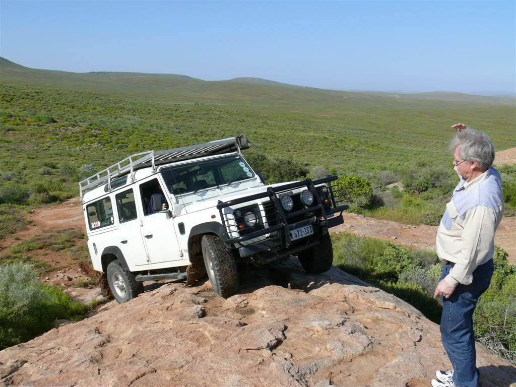
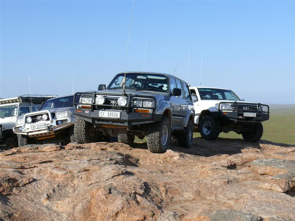
We traversed the Namaqua Park and made our way to Springbok. The rains had filled some of the rivers and we found ourselves driving through water of varying depth. The track we were on had deteriorated over time and looking at the tracks no vehicles had used it for many years. We passed an abandoned farmhouse and wondered what misfortune had led to the owner leaving his homestead and moving on.
In the distance we could see a small settlement. The maps of the area did not indicate it at all and soon we found ourselves at the top of a pass looking down on the village. We descended a little used mountain pass and were soon confronted with a 100 meter wide river crossing. We looked for detours and options but there were none so having stripped down to my underpants and a T-shirt I walked the river. The water depth never exceeded 600mm and so I took the “plunge” in my Cruiser. I deflated the Bridgestone mud tyres to 0.6 bars and started the crossing.
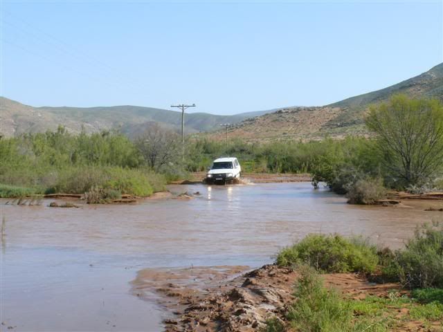
The Cruiser lurched in some soft mud, but continued clawing it’s way to the other side. Having made it I waited for the other vehicles to cross.
We were following an old mining trail north and after getting to the ridge we continued north. We could hear blasting in the distance and as the sun was setting we decided to find a camp for the night. The first option was a clearing on the top of the mountains but as it was now only about 12 degrees Centigrade we proceeded to a more sheltered area next to a river. We made our fire and sat, talking about the route we planned to follow the next day. The wood started to smoulder and we decided it was time to call it a night.
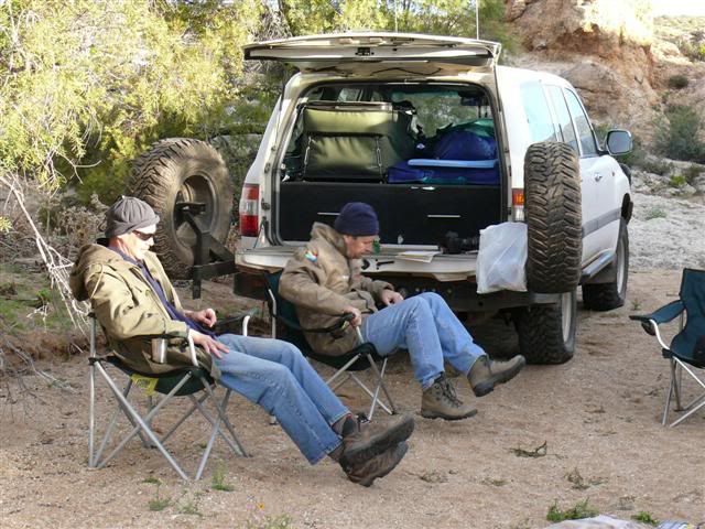
The next morning started with a quick (the water was only about 8 degrees) wash in the river and then we hit the trail again to Springbok.
We had a Wimpy coffee and then turned west. The wind had dropped and we had clear skies. I hate camping in the rain!
We had arranged access to the area via some private mining concerns and soon we started looking for old mines that we had not yet documented, following tracks deeper and deeper into the wilderness. We passed some old abandoned workings. Stones packed neatly to prevent the sides of the open excavations collapsing. Some Mica deposits lay alongside the excavations but little else.
We descend down a rocky outcrop and into a river bed. Reading a prospectors journal we had read about some interesting mineral deposits which had been found between Springbok and Steinkopf. A quick break to discuss the route and while searching on foot we saw a very feint track exiting the river bed.
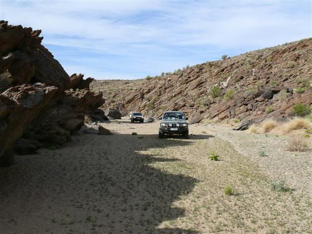
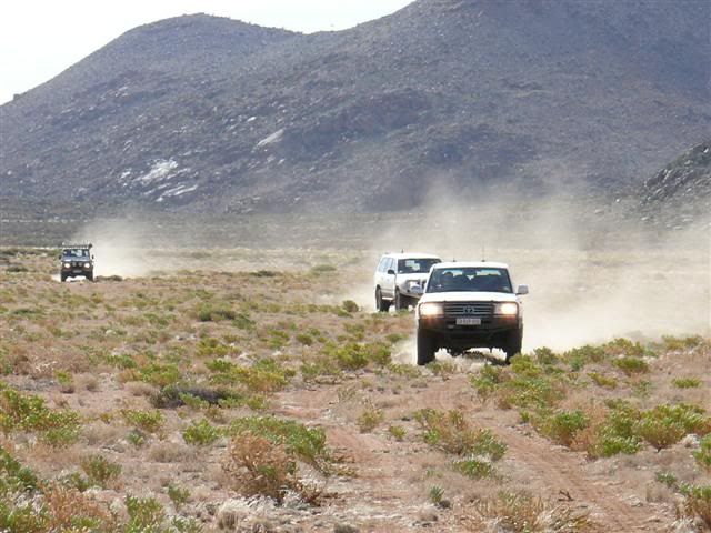
We still had three hours of sun light left and so got back in the vehicles and followed the track. Now and then we would lose the track and then see it again in the distance. Finally we arrived at a small hill covered in small rocks. Once again the track disappeared and the rocky slopes did not give up their secret. The terrain was such that we could descend and once again turn west.
We descended into a valley and followed a sandy river bed towards the setting sun. After trudging through thick sand for a few kilometers I noticed a hole in the side of a mountain. We stopped. This was strange. Why would there be a hole 300 meters long in the side of a mountain and below the summit? We decided to climb to the hole.
Standing on the edge we pondered what caused the hole and the only logical explanation for this formation was that it was caused by a meteorite. The crater had originally been round and thousands or possibly millions of years of erosion had resulted in a kidney shaped with a solid rock fringe about 8m wide. The fringe had shattered and looked like a jigsaw puzzle with each piece fitting perfectly into the next. There was no typical impact mound surrounding the crater, but what else could have caused the intense heat to form the fringe?
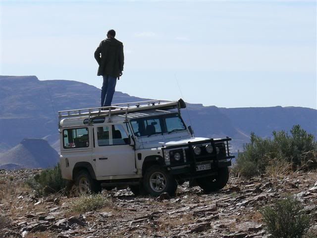
We descended into the crater from the south. The crater floor littered with dark, almost volcanic rock. Some of the rock had the appearance of petrified mud and we decided that over millions of years the crater had filled with water thus resulting in the petrified mud.

We walked down the rock strewn slope to our vehicles in silence. I had explored the area over a hundred times and discovered many abandoned mines and Khoi artifacts but never a crater.
Returning home I sent some pictures of the crater to the universities. I offered rock samples for analysis but all they were interested in were the coordinates of the crater. I declined the request!
Greg van der Reis
