sharalds
Montana
This trip report was originally posted 10-Jul-2014 on my blog, "Going Places Quietly - Gravelly Range Overland".
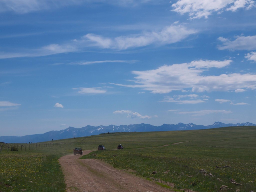
My wife had told me a tale of a gravel road that traversed the spine of the Gravelly Mountain Range – a seldom visited range in SW Montana – and back in May I pinged a few folks to plan a long loop encompassing the entirety of the range with terrain varying from well-graded gravel to some slightly technical jeep trails. With the Independence day holiday falling on a Friday the opportunity to hit the road Thursday night, grab a burger on the way and be into the Forest a bit after dark before the weekend really even began was a prime opportunity.
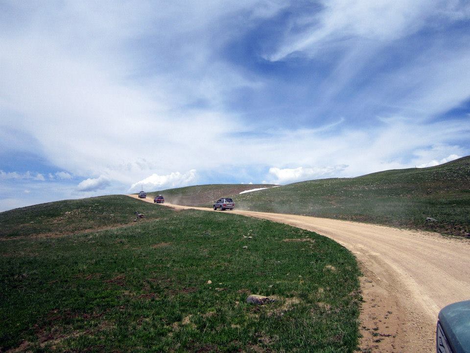
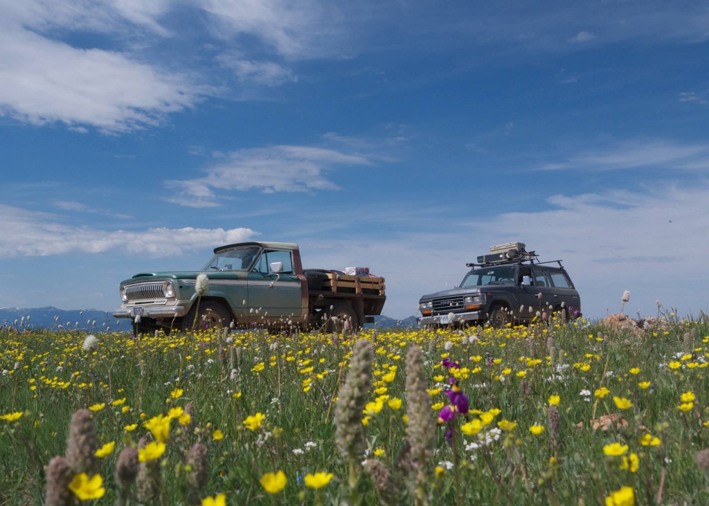
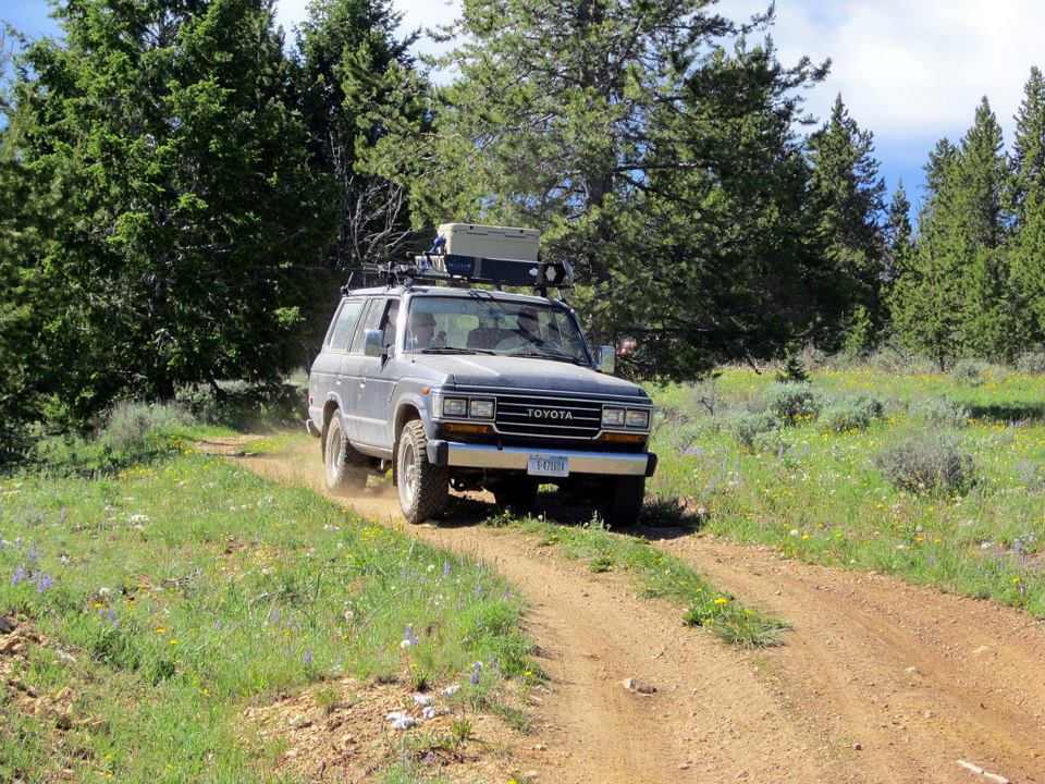
Burgers and beer at the Gravel Bar in Ennis followed by a necessary final fueling of the trucks and our intrepid group of leisure seekers left smooth asphalt for FS roads just as the sun was setting. Headlights flipped on and our string of four rigs snaked along quality gravel through farmland and the slow climb up to our first camp high atop the gently sloping NE side of the range. Our posse consisted of three Land Cruisers of various age and a custom Johnny Cash “One Piece at a Time” Jeep our friend Tom has been working on for years that combines a chassis from one year and a cab from another, along with a slew of other parts from other years.
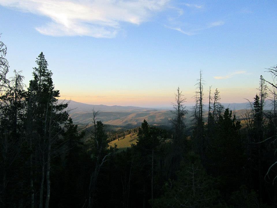
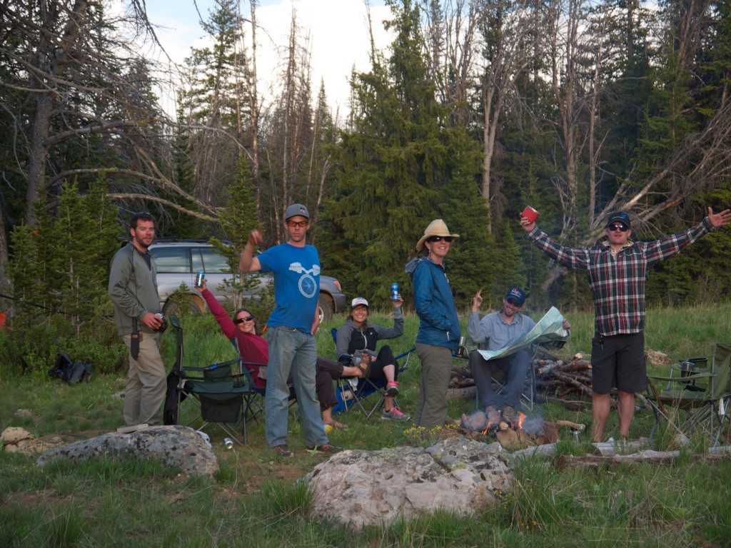
We crossed the forest boundary and began looking for an acceptable camping site for the evening. I had done much prior research in Google Earth and had a zone generally selected so we followed our GPS track, headlight ablaze on the road and trees alongside. The lights of the small hamlet of Ennis made for a quaint scene to the NE and the impressive Madison Range to the East loomed in shadow of the twilight. A tunnel of trees engulfed the road and soon after a small acreage of meadow brimming with Glacier Lilly opened up and I immediately pulled my FJ62 off the road knowing we'd found the perfect first camp. The rest of our party followed suit and as the hour of 11pm approached we set about making our first camp. Some were to sleep in their rigs, others put up tents. I had camp ready first and quickly set about getting a proper campfire going. Rain sprinkled us once or twice over the course of the next hour but we sat 'round the Ranger TV sipping cold beer and reveling in how great a vacation we were already off to.
Our Friday itinerary was simple; follow the Gravelly Range Road South for about 20 miles to the impressive Black Butte massif, find a camp and then set out to climb the peak. Coffee was made, a variety of pancakes, bacon, and fruit was consumed at a leisurely pace, and rigs were packed. We set out on the road through what was to be the first of three days of supreme scenery. The north-facing ridges held slithering slices of snow, the meadows were a carpet of wildflowers in a vast array of colors, and the horizon in all directions was a sea of peaks both jagged and smooth.
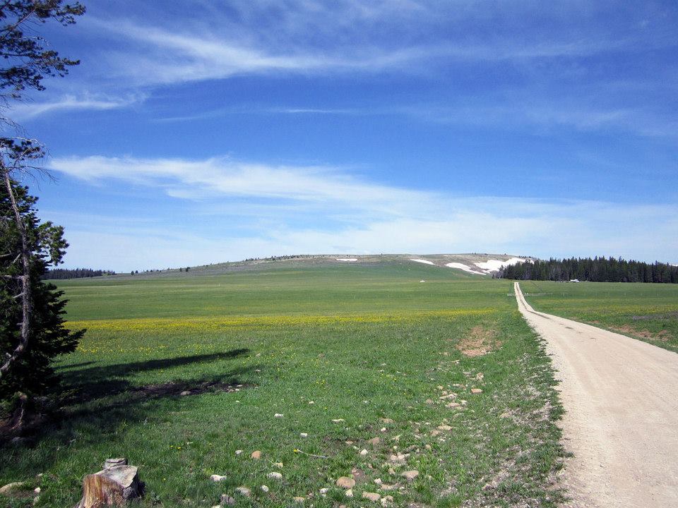
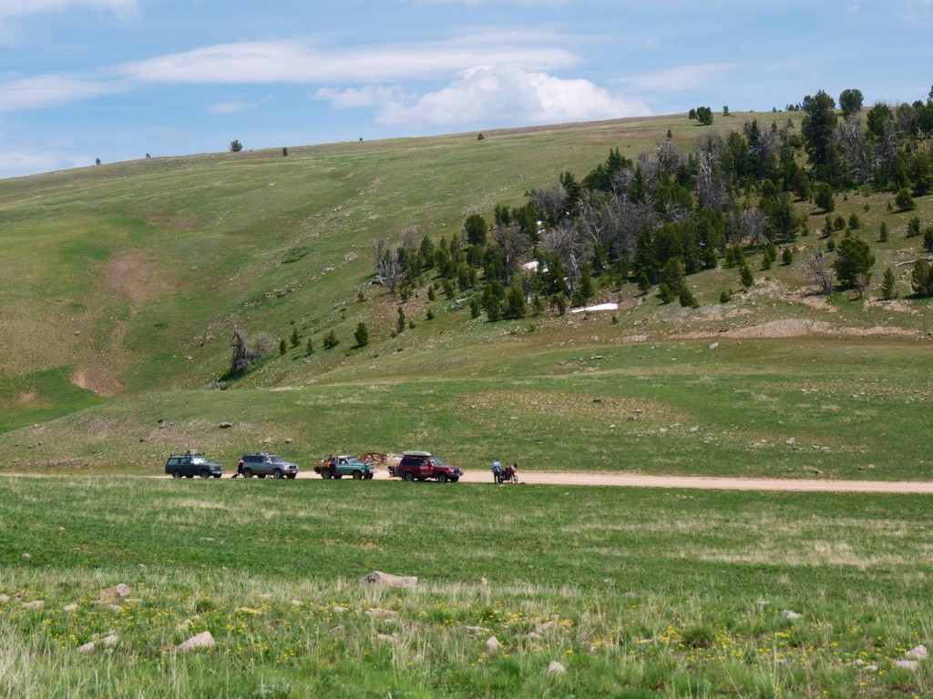
A friend was riding his dual sport motorcycle to meet us at Camp Two so we scouted around Black Butte to find our next home. Nothing in the direct vicinity felt perfect so we left the main Gravelly Road and down Standard Creek Road a few miles until another lovely prairie of wildflowers revealed itself. The Gravelly Range Road doesn't see a large population of traffic but the Forest Service manages camping and requires motorized camping parties to stay at sites marked with a small sign. The rules are loose regarding what you can do at the sites so we typically spread our rigs out across an area encompassing about an acre and all the sites we saw and stayed at were very nicely rehabbed and it was clear that those who visit the area respect it greatly. Only one fire ring was at any of the sites and ruts and tire tracks were basically non existent.
We all opted to simply loaf around most of the day, napping, taking the little Honda Trail 90 (carried on a hitch haul on the back of one of the Cruisers) for quick spins around, and target shooting pistols and rifles at a 50 yd target. Rain came and went intermittently as is common when camped up near the high alpine so we opted to save a hike to the summit of Black Butte until the following morning. Two of our party boiled up a massive vat of shrimp, potatoes, and corn on the cob which we ravenously devoured alongside copious cans of beer 'round the fire.
Day three dawned and the coffee flowed freely. Our dual sport biker had arrived at the end of the previous day and he set out to thank us for carrying much of his gear in the trucks making his bike light and nimble by producing a feast of eggs and fresh veggies wrapped in tortillas. After all were satiated with breakfast I put together a pound of hamburger patties for our Summit Cheeseburger attempt at Black Butte. Camp packed up quickly and easily – the group of eight of us all working independently but efficiently at a remarkably similar pace – and we were on the road and to the base of the peak before 11am.
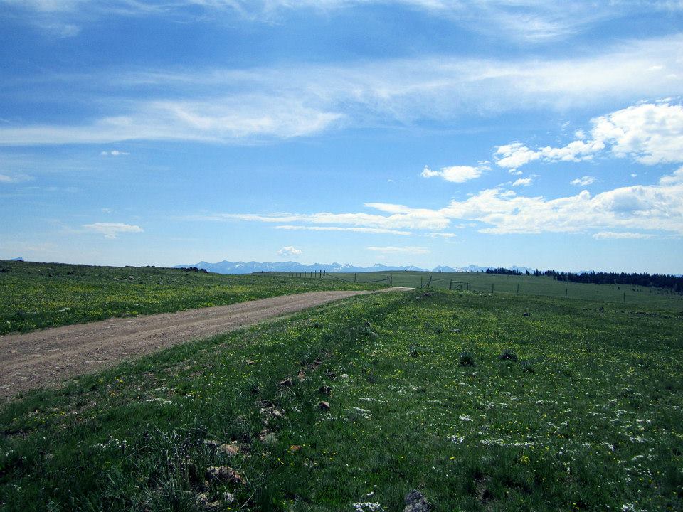
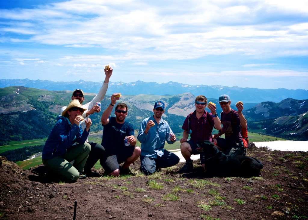
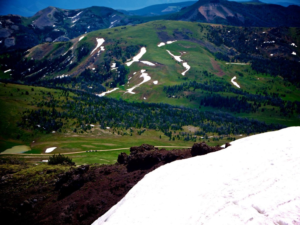
Sunscreen was applied, the fixins for cheeseburgers, a cold can of beer, rain jacket, and water bottle were in my pack and we set out offtrail toward our mountain. Surprisingly we ran into a few other hikers out to climb the peak as well but they were a decade or two older than us and moving a bit slower so we said hello and continued up. The climb was simple and directions were aided by previous climber's cairns. Only a small amount of snow covered the route which was easily bypassed and the going was smooth on a well worn social path. We summited in glorious sunshine with views that ranged for many dozens of miles. A slight haze, probably from a far-off forest fire clouded the horizon but the peaks of the Madison Range, Snowcrest Range, Greenhorn Range, Pintlar Range, Belts, and Tobacco Roots were striking and awe-inspiring. We nommed cheeseburgers, posed for a photo, and enjoyed a cold beer, relaxed at 10,542 feet before setting back down to the rigs.
The drive that day was to be a long one and would include finishing the first leg of our trip – the Gravelly Ridge, followed by a slightly higher speed section of wide gravel along the Ruby River – the second leg of the trip, and the start into the technical third leg of the trip – a climb up and over a high pass. The day was hot, but the breeze from atop the remaining miles of the Gravelly Range Road were heavenly. The wildflowers were so exquisite that every single twist and turn or up and down section of the road created a new micro ecosystem for a different variety to thrive. The colors across the landscape were simply alive.

Dropping steeply and quickly off the high ridge and into the dusty and dry Ruby River Valley was a bit shocking. We sped up to keep the air moving and to get some miles under our tires as we needed to get North to our final camping destination. We made good time and enjoyed the scenery of the Ruby River. It provides exceptional Grayling fishing and there were many campsites set up alongside with dozens of fishers wading the cool waters.
We reached the Ruby Reservoir, drove a few miles of required asphalt before turning off the highway, crossing a telltale sign of good things to come – a cattle guard – and then turned our speed back down to more of a crawling pace as we made our way up Barton Gulch. We had FRS walkie talkie radios with us and communication was back and forth as the rigs spread out aways down the canyon. The group became separated when one of the rigs decided to overheat and another decided it's lack of fuel injection on the steep slopes was problematic. After some radio silence issues and not having the whole group together the leaders backtracked until we were all at the same spot giving the Land Cruiser some time to cool down. Beers were popped, a box of cookies was passed around, and tunes were turned up for a little backwoods dance party session. Regardless of some minimal mechanicals, the heat was subsiding as the afternoon turned into evening and everyone was in great spirits.

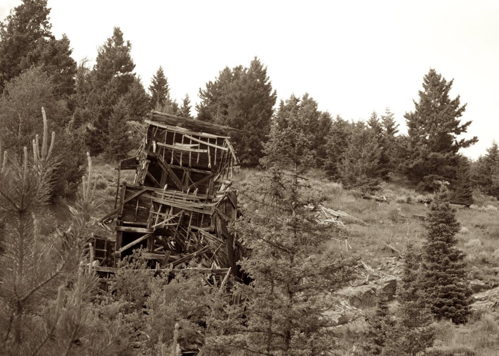
The next few miles of road were to be the most technical of the trip and everyone dialed the techy parts excellently. The bike was out ahead followed by the two mechanically-prone rigs and the rear was trailed up by the remaining rigs. We maintained constant radio comms this time around just to be sure. Hubs were locked, 4wd was on, and the driving was sublime. An abandoned mine halfway up provided for a photo op along with a few other hulks of buildings long forgotten. The highlight of it all came as we crested the top of the pass and were treated to what would be our campsite for the evening – a glorious open area at 8500 ft complete with views to both the East and West with just the right amount of shade for the morning, and enough firewood for myriad evenings of relaxing.
The group fell into the routine of setting up camp. Dinner and fire-making duties were performed without anyone asking anyone else. A potluck of grub was laid out on the table and the dwindling beer supply went down can after can. The alpenglow on the surrounding peaks was stunning and as we watched it fade away into night we were all beside ourselves with how gorgeous the place we live is. We stayed up around the fire for awhile longer until tiredness overcame each of us at our own pace and then wandered off to our respective places to lay our head.

The morning dawned crisp, clear, and just the right amount of chilly. We breakfasted on great chow with coffee and orange juice and pondered our maps for the final leg of the journey. A last minute decision to take a route different than the one I had planned prior to the trip (a decision we would later regret but also made us decide to come back someday) and we set off on a steep jeep trail down into a side canyon toward the main draw of Alder Gulch. It was a relatively short drive the rest of the way out Alder Gulch to the historic town of Virginia City – home to history's largest silver placer mining operation. The town was abuzz with tourists as we pulled our dusty rigs off the dirt for the last time and onto the pavement.
Our next destination was back to the town of Ennis and a visit to the local hamburger joint owned and operated by the area school teachers called the Sugar High. We pulled in a couple minutes before they opened, got in line for cheeseburgers, fries, and malts which we leisurely ate in the shade alongside the restaurant. The return trip back to Bozeman was leisurely and my wife and I even treated ourselves to the air conditioner in our FJ. The drive is one we've made many times but is beautiful each and every and we thoroughly enjoyed it. There was a bikini hatch happening on the Madison along the popular “booze cruise” stretch and in the heat of the afternoon a refreshing dip seemed pretty good but we kept on along and were hope at a reasonable hour to do some cleaning up and prepping for re-entry back into society on Monday.
This region is very vast and I expect we'll return to visit some of it's nooks and crannies on foot and on bicycle someday but as a primer, driving this large, primarily gravel loop was a stunning way to see the country. Very few others were out and about and the camping was exquisite and plentiful. My recommendation to follow our route or one similar is very high. Big sky country indeed.

View the GPS route info used for planning this trip here: http://caltopo.com/m/7T00

My wife had told me a tale of a gravel road that traversed the spine of the Gravelly Mountain Range – a seldom visited range in SW Montana – and back in May I pinged a few folks to plan a long loop encompassing the entirety of the range with terrain varying from well-graded gravel to some slightly technical jeep trails. With the Independence day holiday falling on a Friday the opportunity to hit the road Thursday night, grab a burger on the way and be into the Forest a bit after dark before the weekend really even began was a prime opportunity.
Burgers and beer at the Gravel Bar in Ennis followed by a necessary final fueling of the trucks and our intrepid group of leisure seekers left smooth asphalt for FS roads just as the sun was setting. Headlights flipped on and our string of four rigs snaked along quality gravel through farmland and the slow climb up to our first camp high atop the gently sloping NE side of the range. Our posse consisted of three Land Cruisers of various age and a custom Johnny Cash “One Piece at a Time” Jeep our friend Tom has been working on for years that combines a chassis from one year and a cab from another, along with a slew of other parts from other years.

We crossed the forest boundary and began looking for an acceptable camping site for the evening. I had done much prior research in Google Earth and had a zone generally selected so we followed our GPS track, headlight ablaze on the road and trees alongside. The lights of the small hamlet of Ennis made for a quaint scene to the NE and the impressive Madison Range to the East loomed in shadow of the twilight. A tunnel of trees engulfed the road and soon after a small acreage of meadow brimming with Glacier Lilly opened up and I immediately pulled my FJ62 off the road knowing we'd found the perfect first camp. The rest of our party followed suit and as the hour of 11pm approached we set about making our first camp. Some were to sleep in their rigs, others put up tents. I had camp ready first and quickly set about getting a proper campfire going. Rain sprinkled us once or twice over the course of the next hour but we sat 'round the Ranger TV sipping cold beer and reveling in how great a vacation we were already off to.
Our Friday itinerary was simple; follow the Gravelly Range Road South for about 20 miles to the impressive Black Butte massif, find a camp and then set out to climb the peak. Coffee was made, a variety of pancakes, bacon, and fruit was consumed at a leisurely pace, and rigs were packed. We set out on the road through what was to be the first of three days of supreme scenery. The north-facing ridges held slithering slices of snow, the meadows were a carpet of wildflowers in a vast array of colors, and the horizon in all directions was a sea of peaks both jagged and smooth.

A friend was riding his dual sport motorcycle to meet us at Camp Two so we scouted around Black Butte to find our next home. Nothing in the direct vicinity felt perfect so we left the main Gravelly Road and down Standard Creek Road a few miles until another lovely prairie of wildflowers revealed itself. The Gravelly Range Road doesn't see a large population of traffic but the Forest Service manages camping and requires motorized camping parties to stay at sites marked with a small sign. The rules are loose regarding what you can do at the sites so we typically spread our rigs out across an area encompassing about an acre and all the sites we saw and stayed at were very nicely rehabbed and it was clear that those who visit the area respect it greatly. Only one fire ring was at any of the sites and ruts and tire tracks were basically non existent.

We all opted to simply loaf around most of the day, napping, taking the little Honda Trail 90 (carried on a hitch haul on the back of one of the Cruisers) for quick spins around, and target shooting pistols and rifles at a 50 yd target. Rain came and went intermittently as is common when camped up near the high alpine so we opted to save a hike to the summit of Black Butte until the following morning. Two of our party boiled up a massive vat of shrimp, potatoes, and corn on the cob which we ravenously devoured alongside copious cans of beer 'round the fire.
Day three dawned and the coffee flowed freely. Our dual sport biker had arrived at the end of the previous day and he set out to thank us for carrying much of his gear in the trucks making his bike light and nimble by producing a feast of eggs and fresh veggies wrapped in tortillas. After all were satiated with breakfast I put together a pound of hamburger patties for our Summit Cheeseburger attempt at Black Butte. Camp packed up quickly and easily – the group of eight of us all working independently but efficiently at a remarkably similar pace – and we were on the road and to the base of the peak before 11am.

Sunscreen was applied, the fixins for cheeseburgers, a cold can of beer, rain jacket, and water bottle were in my pack and we set out offtrail toward our mountain. Surprisingly we ran into a few other hikers out to climb the peak as well but they were a decade or two older than us and moving a bit slower so we said hello and continued up. The climb was simple and directions were aided by previous climber's cairns. Only a small amount of snow covered the route which was easily bypassed and the going was smooth on a well worn social path. We summited in glorious sunshine with views that ranged for many dozens of miles. A slight haze, probably from a far-off forest fire clouded the horizon but the peaks of the Madison Range, Snowcrest Range, Greenhorn Range, Pintlar Range, Belts, and Tobacco Roots were striking and awe-inspiring. We nommed cheeseburgers, posed for a photo, and enjoyed a cold beer, relaxed at 10,542 feet before setting back down to the rigs.


The drive that day was to be a long one and would include finishing the first leg of our trip – the Gravelly Ridge, followed by a slightly higher speed section of wide gravel along the Ruby River – the second leg of the trip, and the start into the technical third leg of the trip – a climb up and over a high pass. The day was hot, but the breeze from atop the remaining miles of the Gravelly Range Road were heavenly. The wildflowers were so exquisite that every single twist and turn or up and down section of the road created a new micro ecosystem for a different variety to thrive. The colors across the landscape were simply alive.

Dropping steeply and quickly off the high ridge and into the dusty and dry Ruby River Valley was a bit shocking. We sped up to keep the air moving and to get some miles under our tires as we needed to get North to our final camping destination. We made good time and enjoyed the scenery of the Ruby River. It provides exceptional Grayling fishing and there were many campsites set up alongside with dozens of fishers wading the cool waters.
We reached the Ruby Reservoir, drove a few miles of required asphalt before turning off the highway, crossing a telltale sign of good things to come – a cattle guard – and then turned our speed back down to more of a crawling pace as we made our way up Barton Gulch. We had FRS walkie talkie radios with us and communication was back and forth as the rigs spread out aways down the canyon. The group became separated when one of the rigs decided to overheat and another decided it's lack of fuel injection on the steep slopes was problematic. After some radio silence issues and not having the whole group together the leaders backtracked until we were all at the same spot giving the Land Cruiser some time to cool down. Beers were popped, a box of cookies was passed around, and tunes were turned up for a little backwoods dance party session. Regardless of some minimal mechanicals, the heat was subsiding as the afternoon turned into evening and everyone was in great spirits.

The next few miles of road were to be the most technical of the trip and everyone dialed the techy parts excellently. The bike was out ahead followed by the two mechanically-prone rigs and the rear was trailed up by the remaining rigs. We maintained constant radio comms this time around just to be sure. Hubs were locked, 4wd was on, and the driving was sublime. An abandoned mine halfway up provided for a photo op along with a few other hulks of buildings long forgotten. The highlight of it all came as we crested the top of the pass and were treated to what would be our campsite for the evening – a glorious open area at 8500 ft complete with views to both the East and West with just the right amount of shade for the morning, and enough firewood for myriad evenings of relaxing.

The group fell into the routine of setting up camp. Dinner and fire-making duties were performed without anyone asking anyone else. A potluck of grub was laid out on the table and the dwindling beer supply went down can after can. The alpenglow on the surrounding peaks was stunning and as we watched it fade away into night we were all beside ourselves with how gorgeous the place we live is. We stayed up around the fire for awhile longer until tiredness overcame each of us at our own pace and then wandered off to our respective places to lay our head.

The morning dawned crisp, clear, and just the right amount of chilly. We breakfasted on great chow with coffee and orange juice and pondered our maps for the final leg of the journey. A last minute decision to take a route different than the one I had planned prior to the trip (a decision we would later regret but also made us decide to come back someday) and we set off on a steep jeep trail down into a side canyon toward the main draw of Alder Gulch. It was a relatively short drive the rest of the way out Alder Gulch to the historic town of Virginia City – home to history's largest silver placer mining operation. The town was abuzz with tourists as we pulled our dusty rigs off the dirt for the last time and onto the pavement.


Our next destination was back to the town of Ennis and a visit to the local hamburger joint owned and operated by the area school teachers called the Sugar High. We pulled in a couple minutes before they opened, got in line for cheeseburgers, fries, and malts which we leisurely ate in the shade alongside the restaurant. The return trip back to Bozeman was leisurely and my wife and I even treated ourselves to the air conditioner in our FJ. The drive is one we've made many times but is beautiful each and every and we thoroughly enjoyed it. There was a bikini hatch happening on the Madison along the popular “booze cruise” stretch and in the heat of the afternoon a refreshing dip seemed pretty good but we kept on along and were hope at a reasonable hour to do some cleaning up and prepping for re-entry back into society on Monday.

This region is very vast and I expect we'll return to visit some of it's nooks and crannies on foot and on bicycle someday but as a primer, driving this large, primarily gravel loop was a stunning way to see the country. Very few others were out and about and the camping was exquisite and plentiful. My recommendation to follow our route or one similar is very high. Big sky country indeed.


View the GPS route info used for planning this trip here: http://caltopo.com/m/7T00
Last edited:
