ttora4runner
Expedition Leader
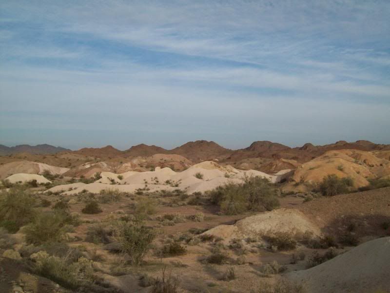
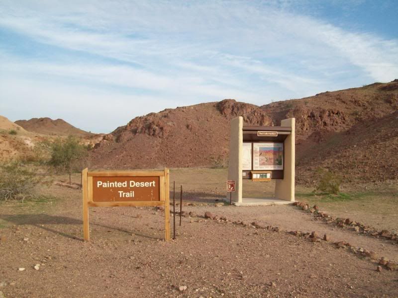
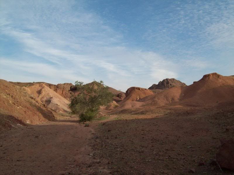
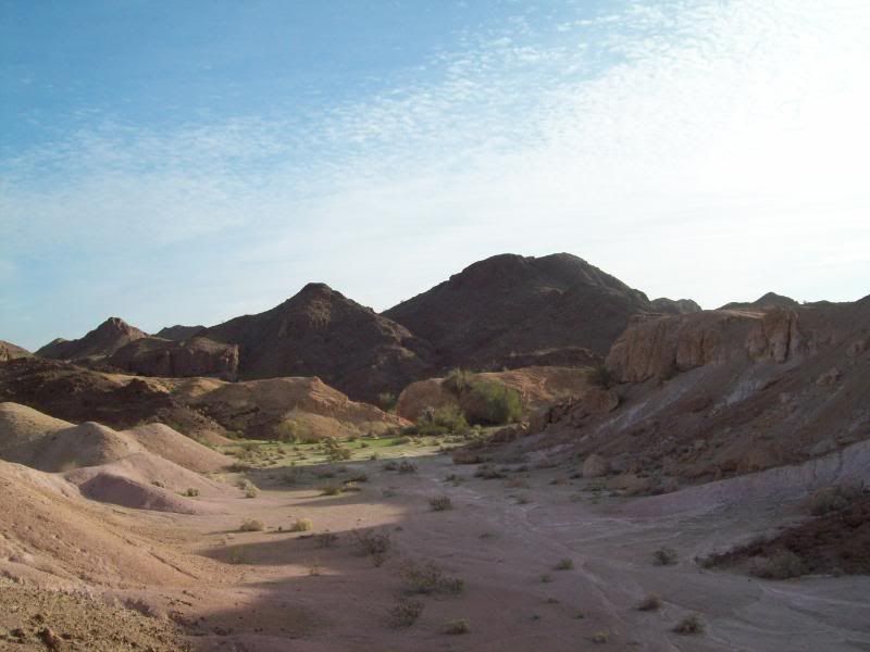
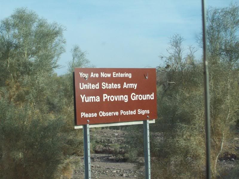
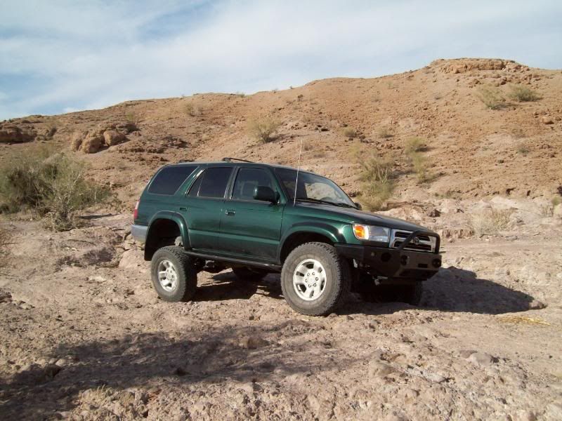
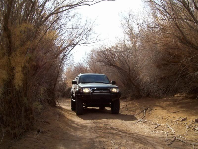
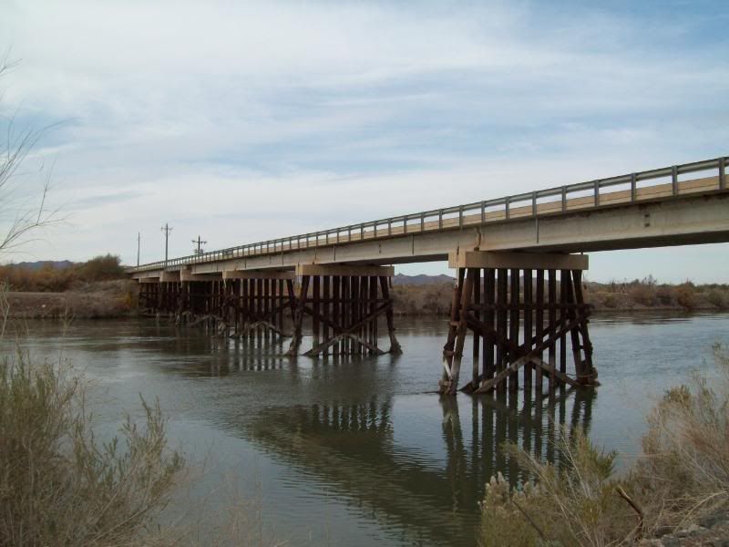
After a number of vehicle issues (still have a gas issue to fix) over the past few months, I was finally able to get out and pre-run a trail for a camping trip that I've been trying plan. Just NW of Yuma, Arizona is road named "Red Clound Mine Road" named after the old mine that is located in that area. The road traveses though the Imperial National Wildlife Refuge, Yuma Military Proving Ground, state land (I think) and finally ending in the Cibola National Wildlide Refuge in California.
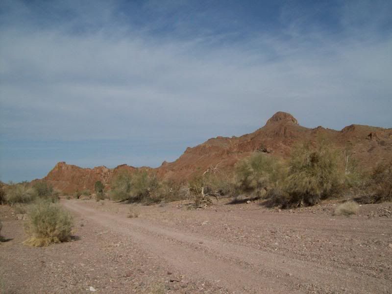
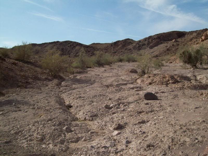
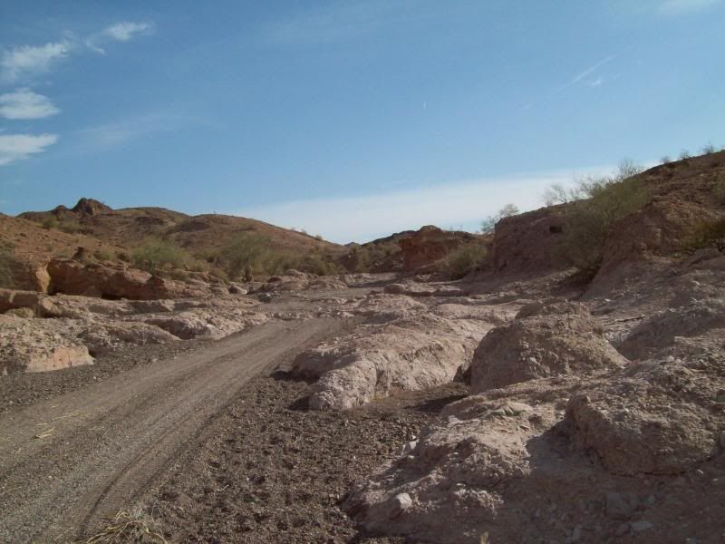
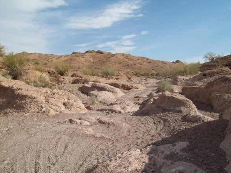
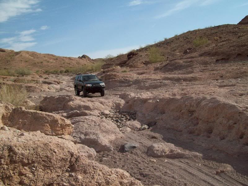
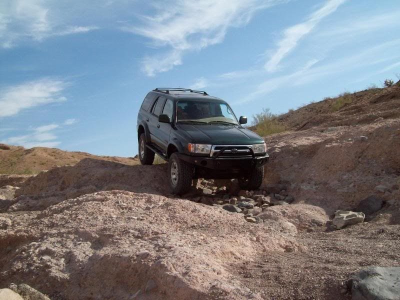
The trail mainly follow a number of washes, the main one being Clip Wash. The trail can mostly be run in 2wd, until the end where 4wd is required in a spot or two. More so after a rain. The dirt/gravel road portion of the trail is roughly 43 miles, with another 46 miles of paved road back to the interstate (not including milage to get there). Left my apartment about 7:45am and returned home around 2pm.
It was a nice, cool day to out and do some exploring. No one else was on the trail.
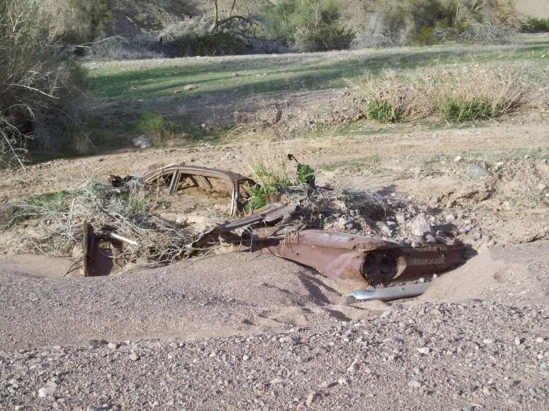
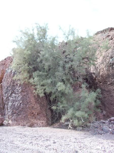
These are some of the photos:
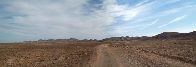
Panoramic Photo's first (I'm still learning the whole photo stiching thing)
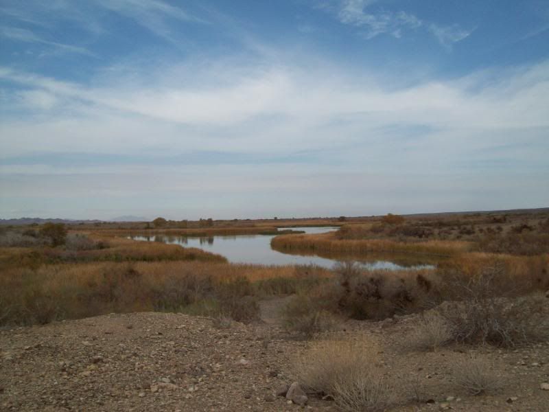
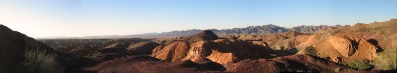
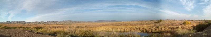
- Palo Verde Point
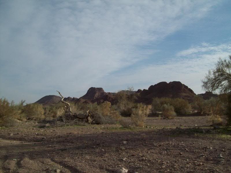
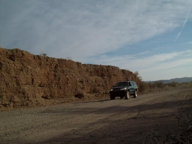
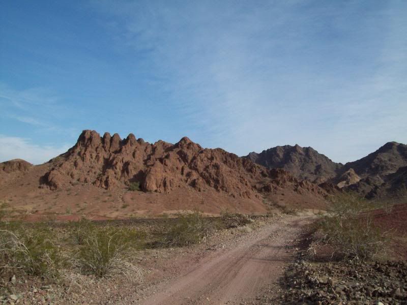
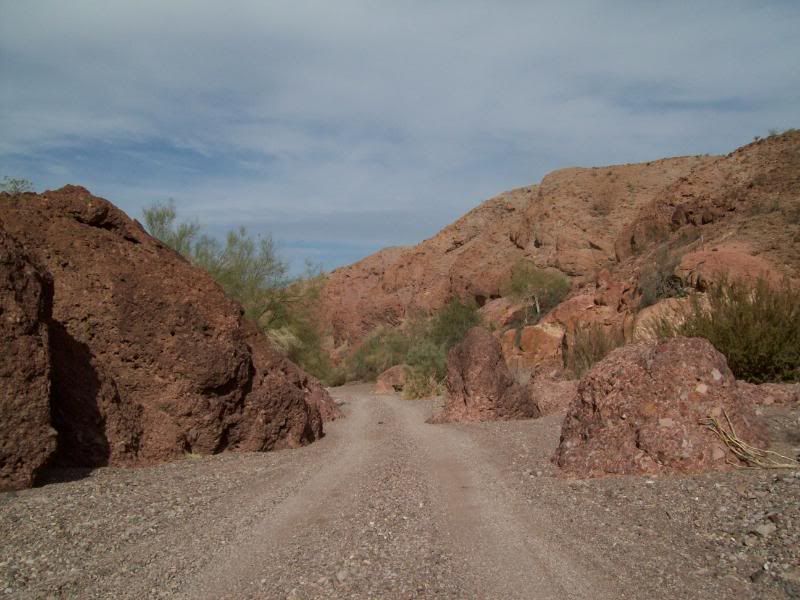
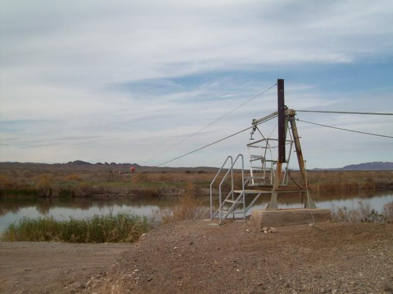
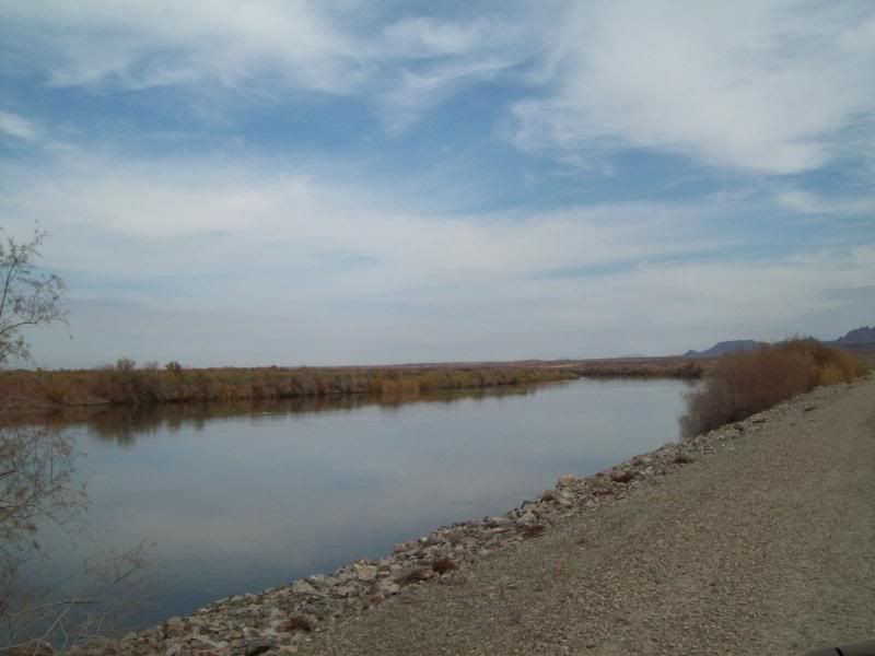
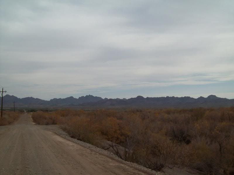
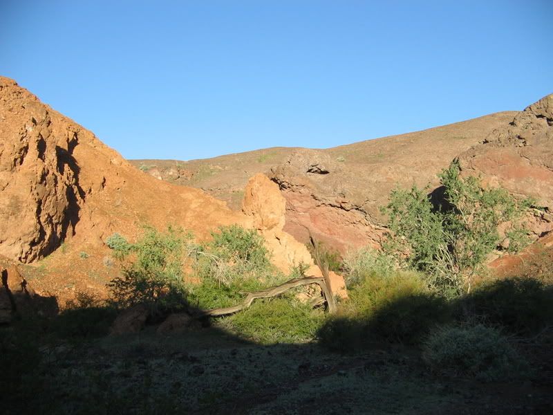
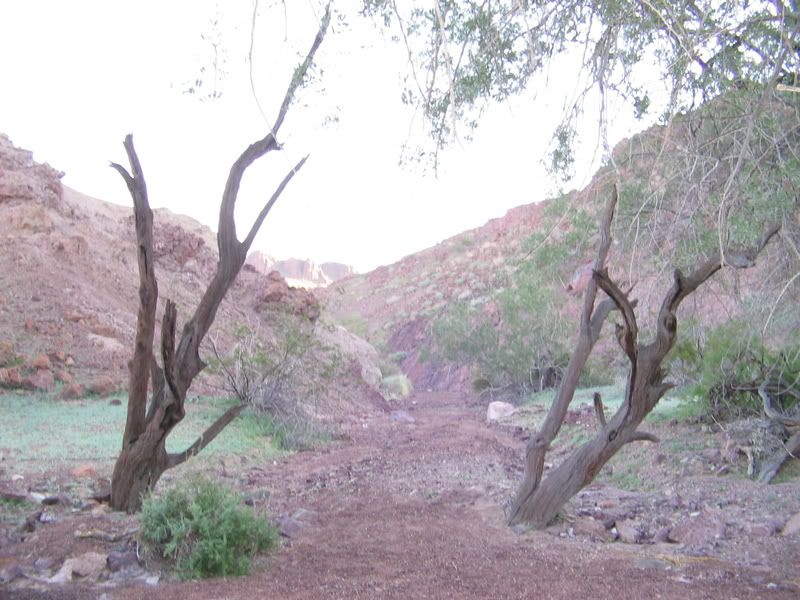
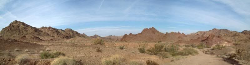
On the way to Red Cloud Mine
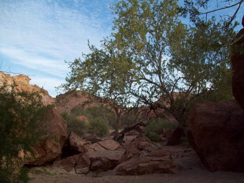
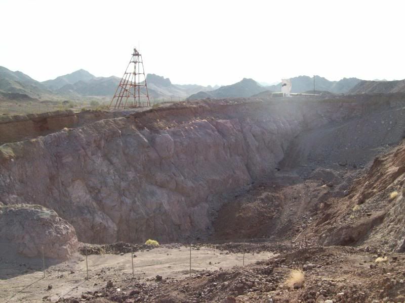
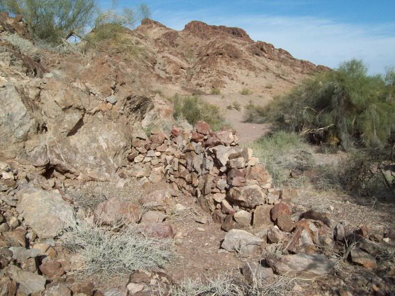
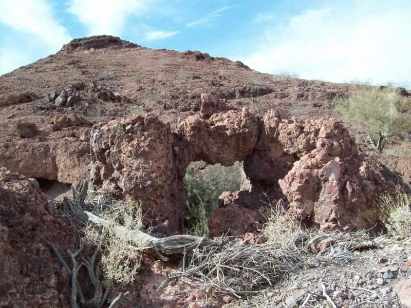
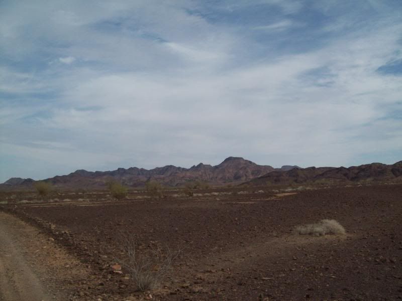
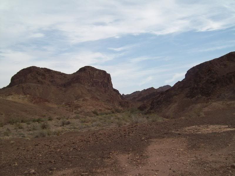
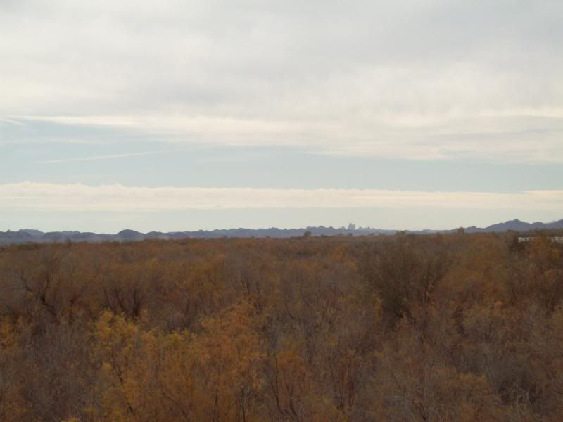
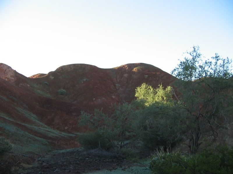
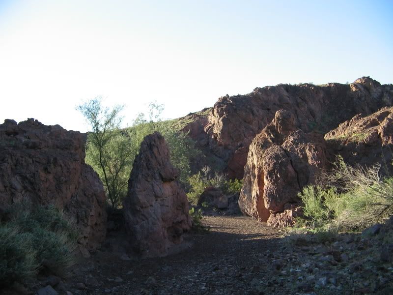
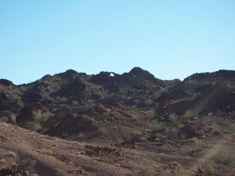
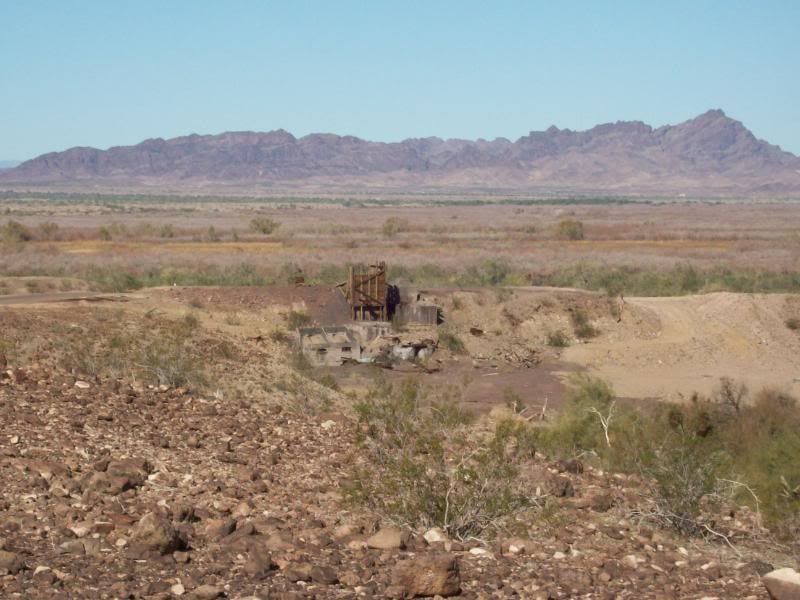
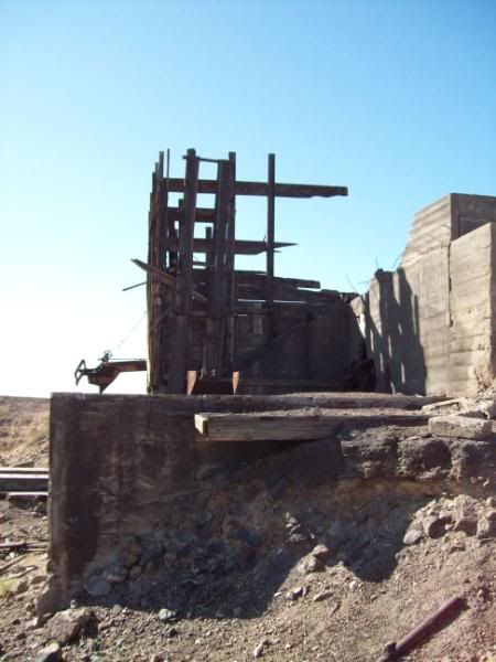
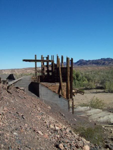
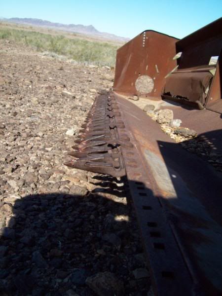
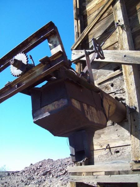
Red Cloud Mine Area
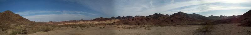
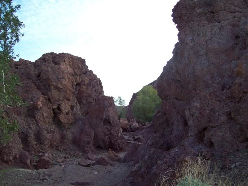
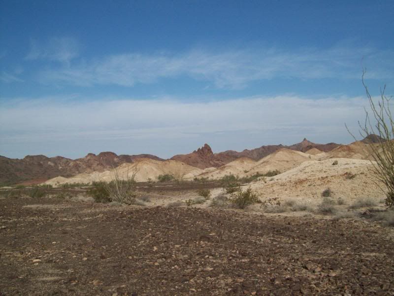
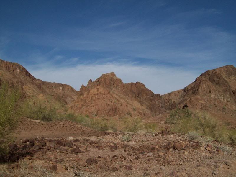
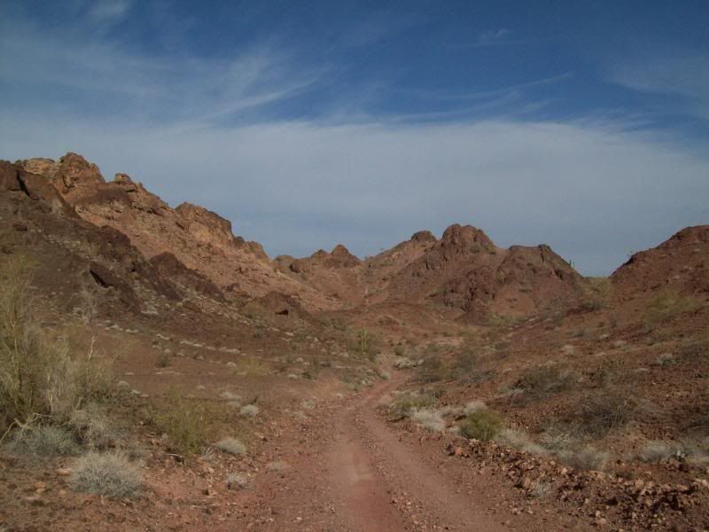
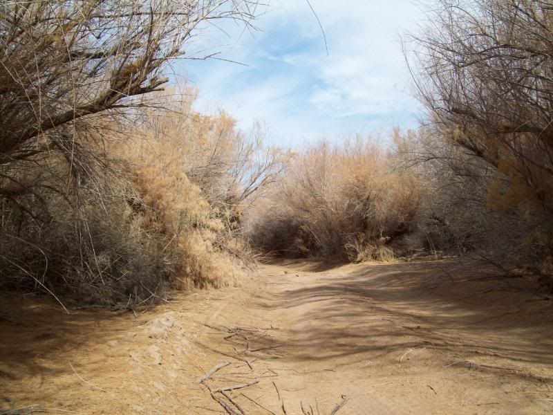
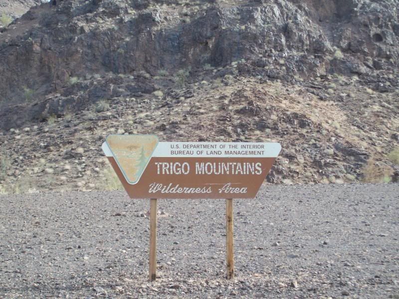
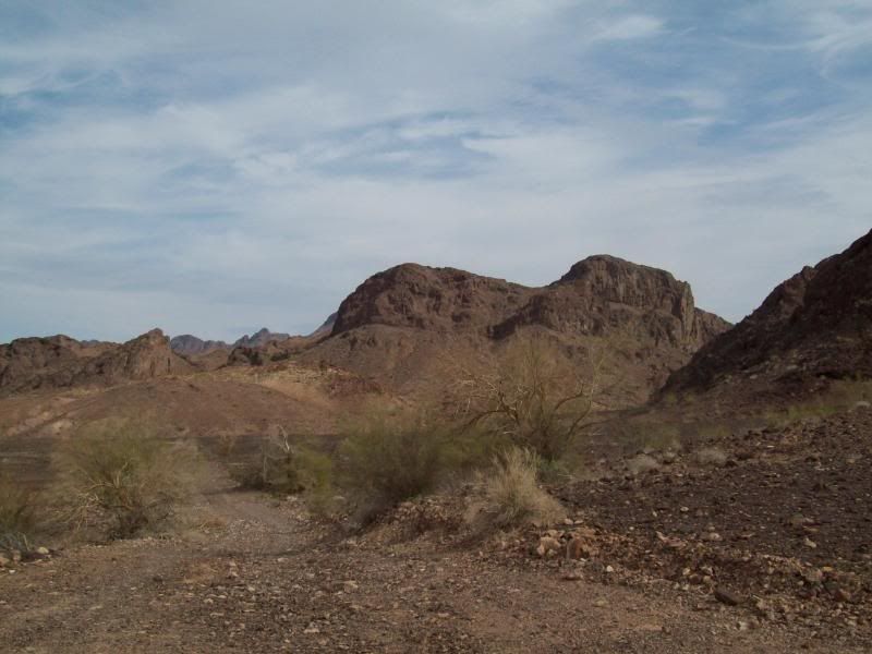
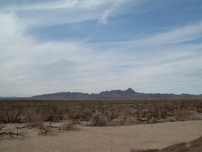
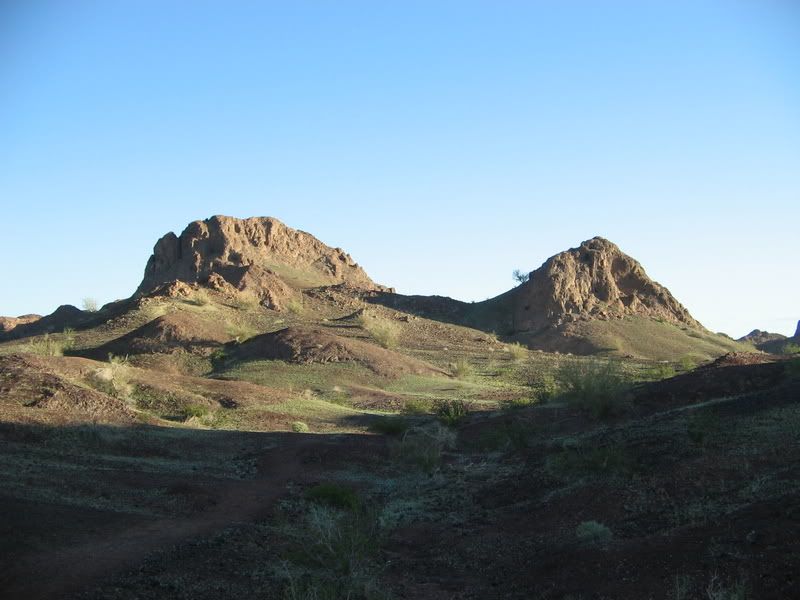
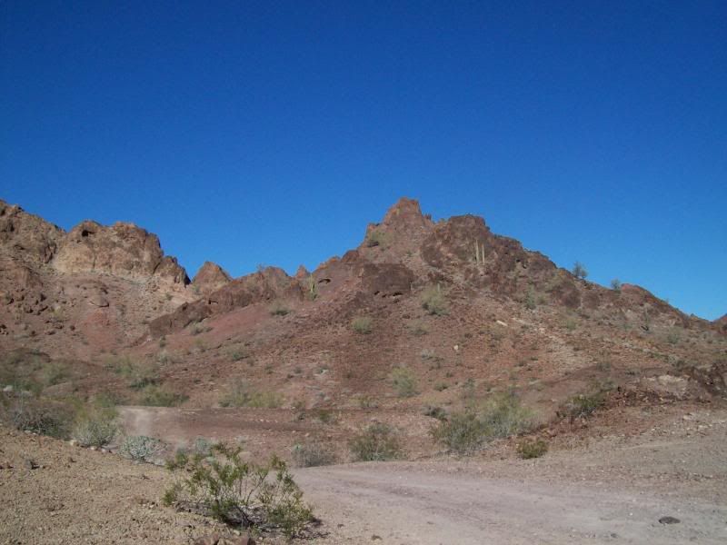
Trigo Mountain Area
The trail mainly follow a number of washes, the main one being Clip Wash. The trail can mostly be run in 2wd, until the end where 4wd is required in a spot or two. More so after a rain. The dirt/gravel road portion of the trail is roughly 43 miles, with another 46 miles of paved road back to the interstate (not including milage to get there). Left my apartment about 7:45am and returned home around 2pm.
It was a nice, cool day to out and do some exploring. No one else was on the trail.
These are some of the photos:
Panoramic Photo's first (I'm still learning the whole photo stiching thing)
- Palo Verde Point
On the way to Red Cloud Mine
Red Cloud Mine Area
Trigo Mountain Area
Last edited: