Middle Fork 09: (Pic heavy)

4Rescue

Expedition Leader
So somehow I made it home...

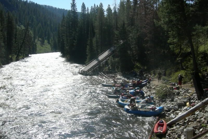
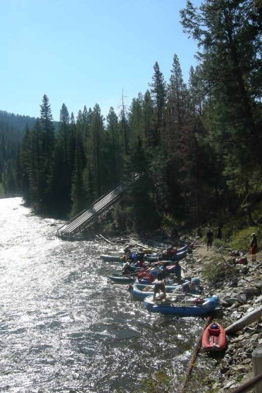
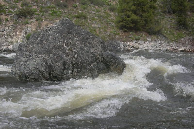
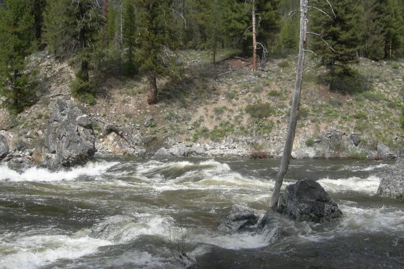
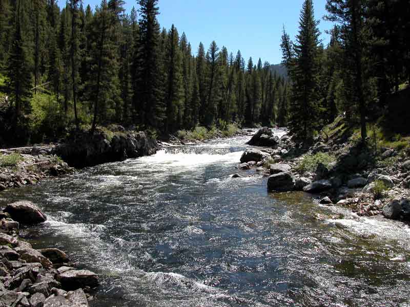
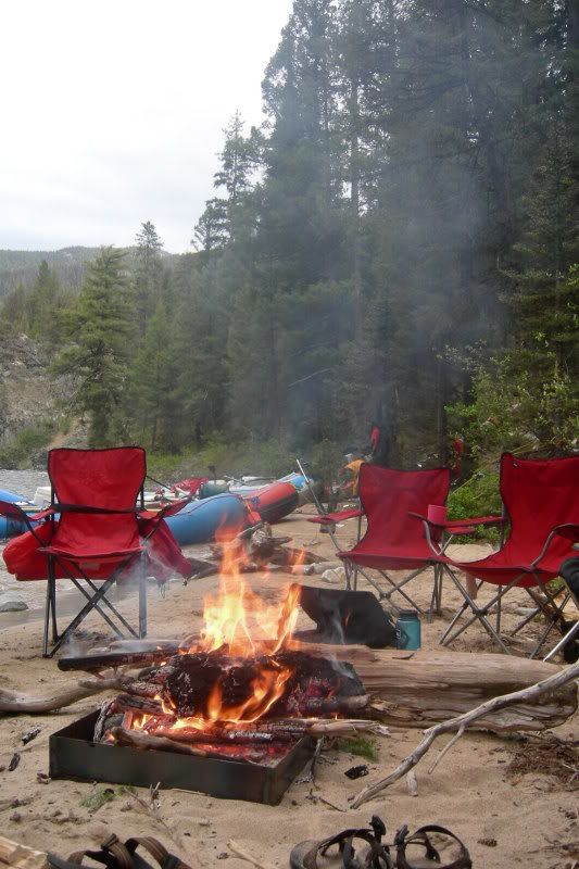
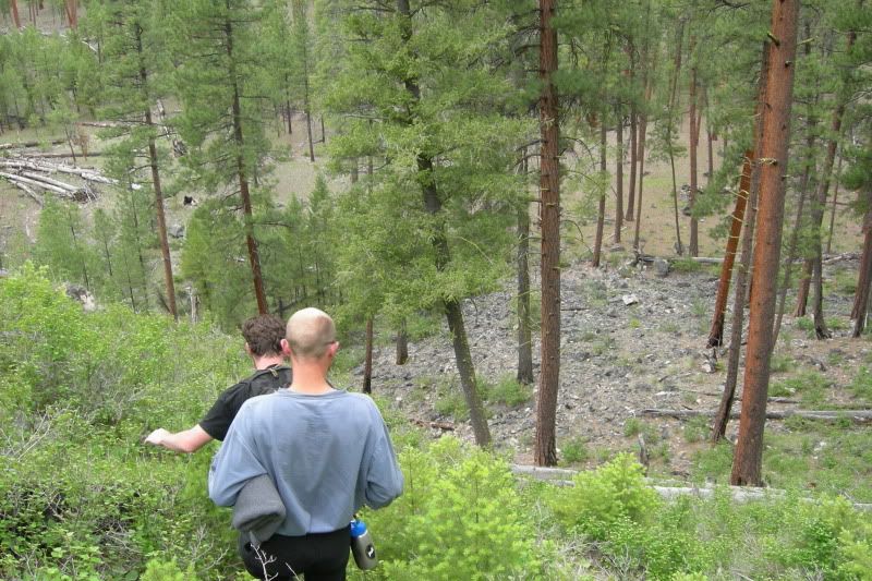
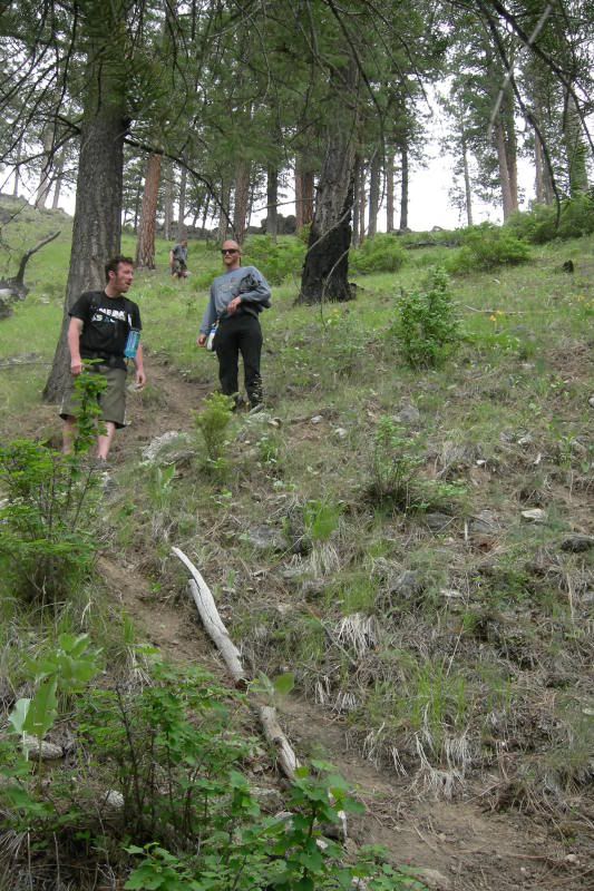
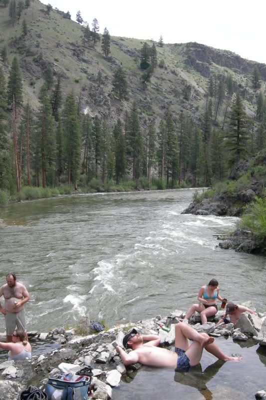
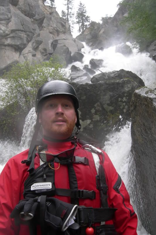
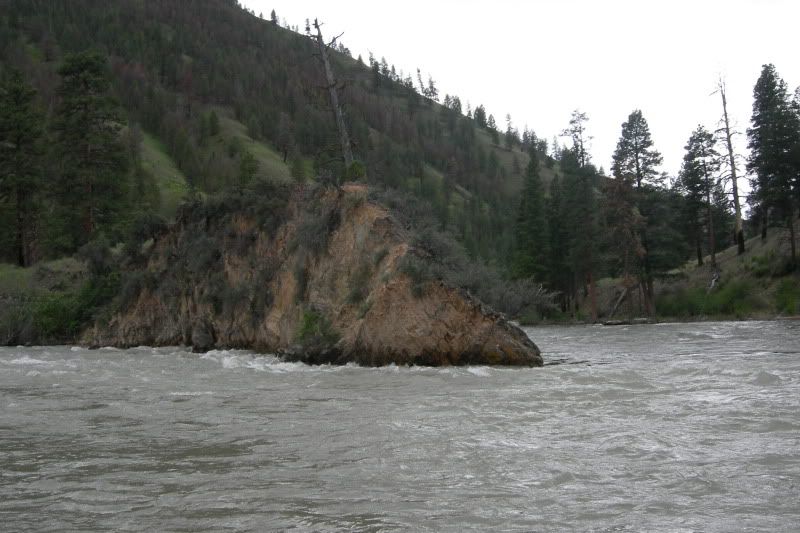
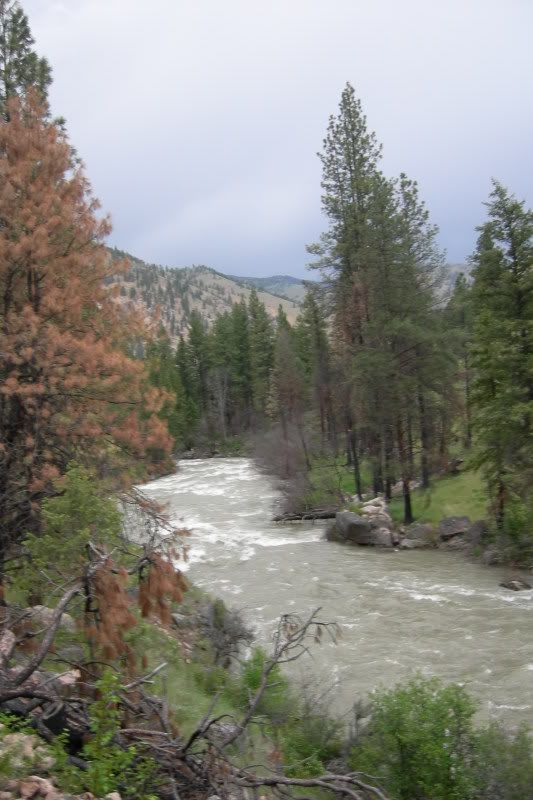
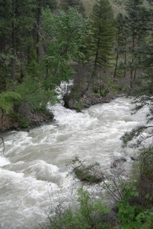
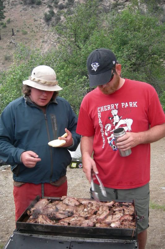
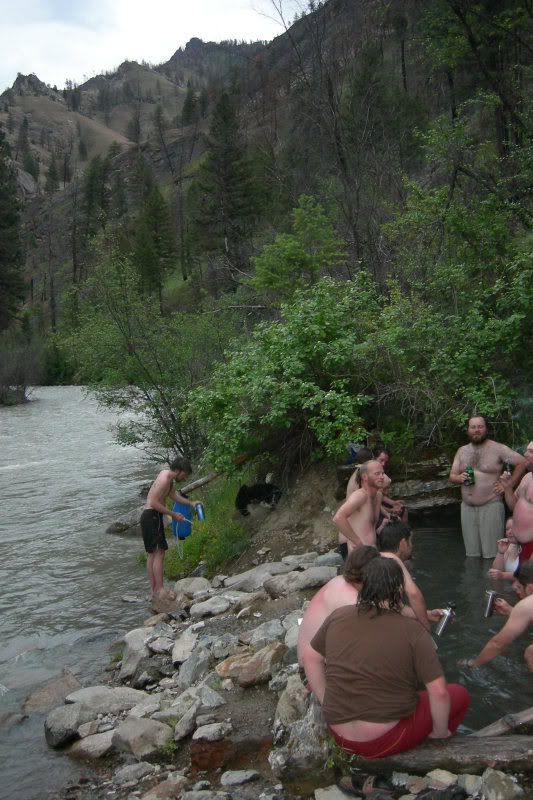
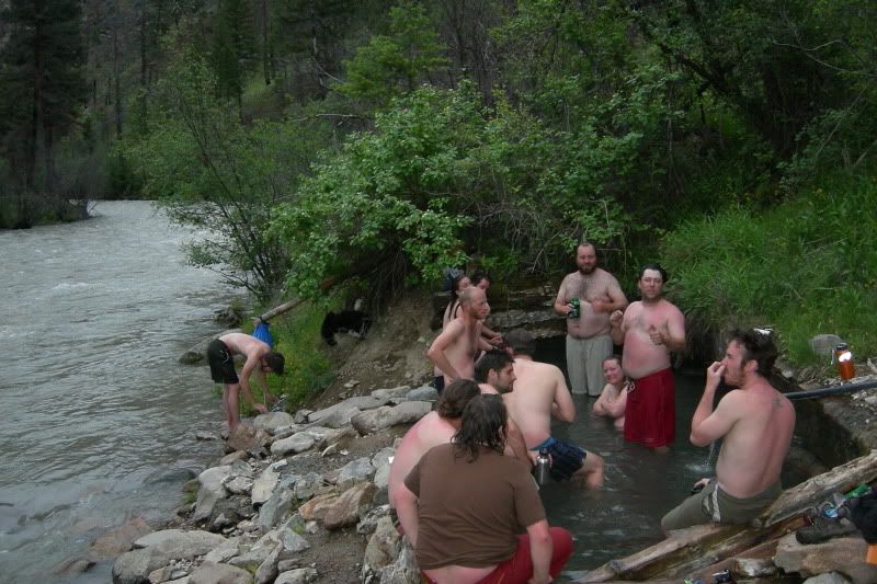
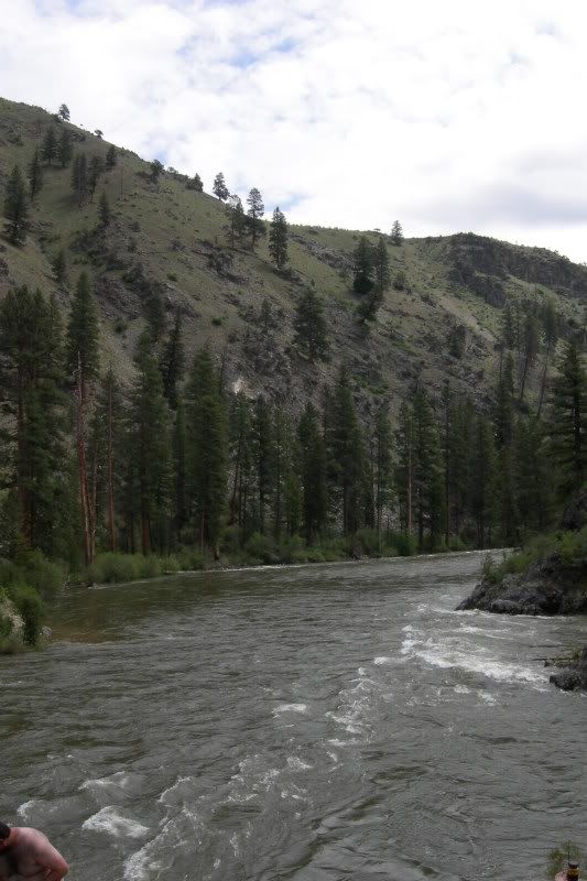
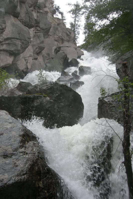
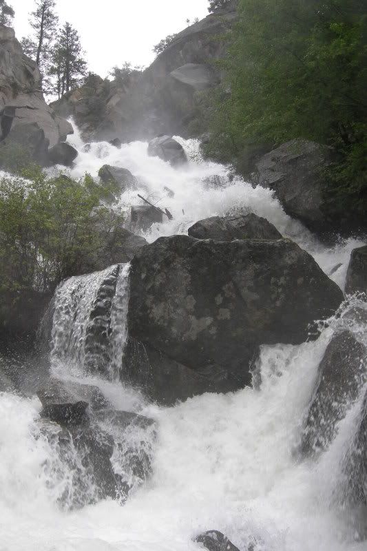
A little background: We pulled a permit for the Middle fork of the Salmor River as I posted in my original thread in Planned Adventures. What was an issue was that we had no idea if the road would be open to the put-in or if we'd get there and find we couldn't even put on. Well, we went for it anyways and boy did it pay off. This year because fo the snowmelt/load, we were looking at a put in level of 7 feet on the guage... this classified it as EXTREME WATER and boy we weren't let down. The water was HUGE. Hopefully our friend with the waterproof camera got some good pics of the rapids because I was either paddling (yes we ran our top paddle crew through the big water much to the suprise of ALOT of people) or rowing a massive Cat full of gear (god how I love Catarafts for big Idaho water)

Anywho:

Leaving in teh Van (she's a 90's Didge 3500 w/a FI 360 and Auto that we picked up from an ODOT surplus lot for $800... This is a Rafting Van @ her finest and when I get the Trailer built I'll be making a build thread, she's a Tank and literaly made this trip possible)
DSCN1749.jpg


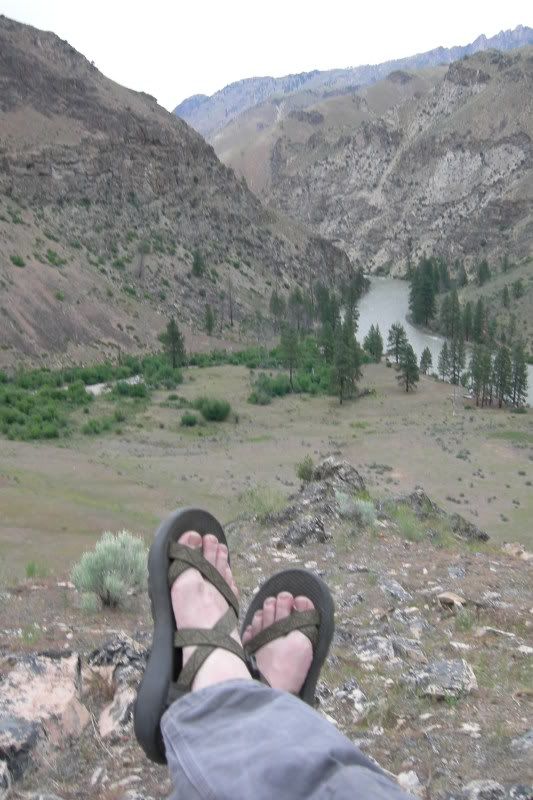
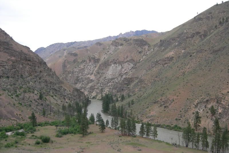
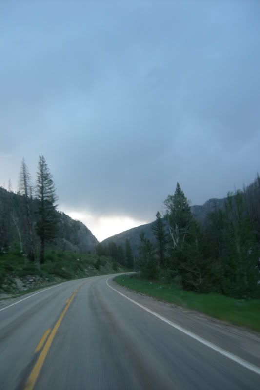
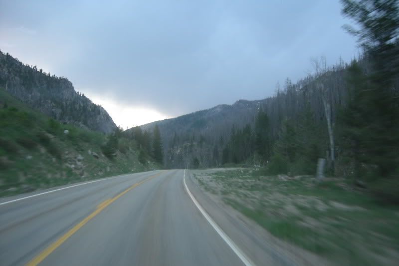
Rolling in at 5am on Hwy21 in Rural Idaho between Lowman and Stanley (I plan on living here someday mark my words)
DSCN1756.jpg

DSCN1757.jpg


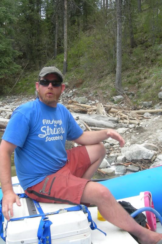
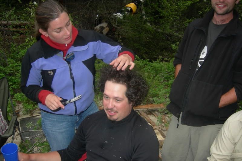
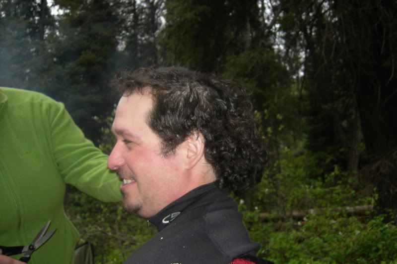
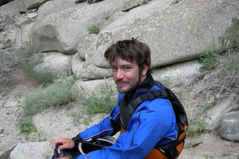
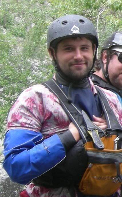
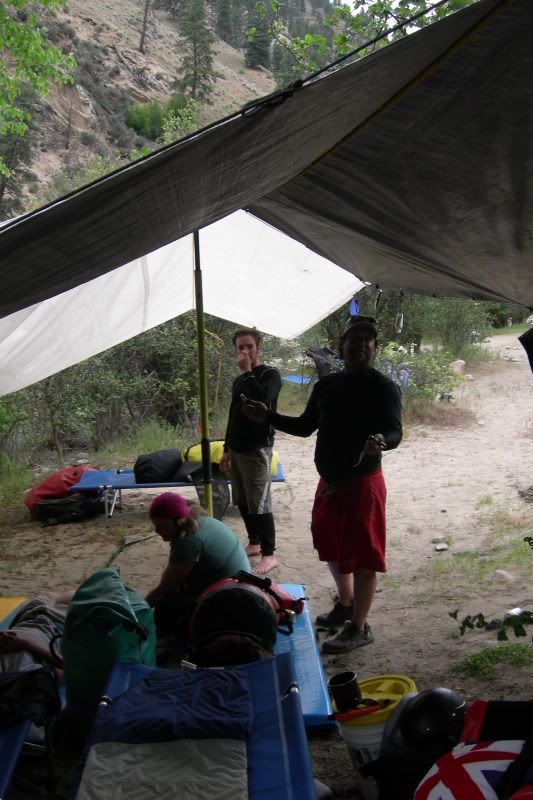
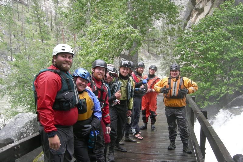
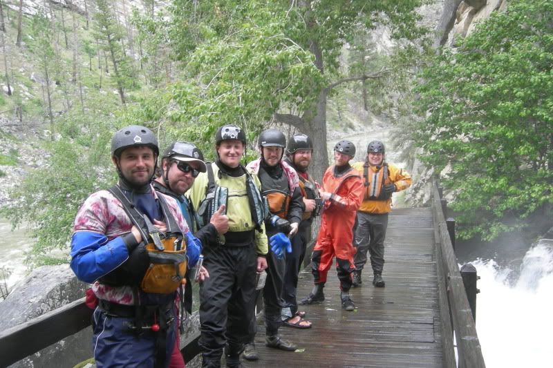
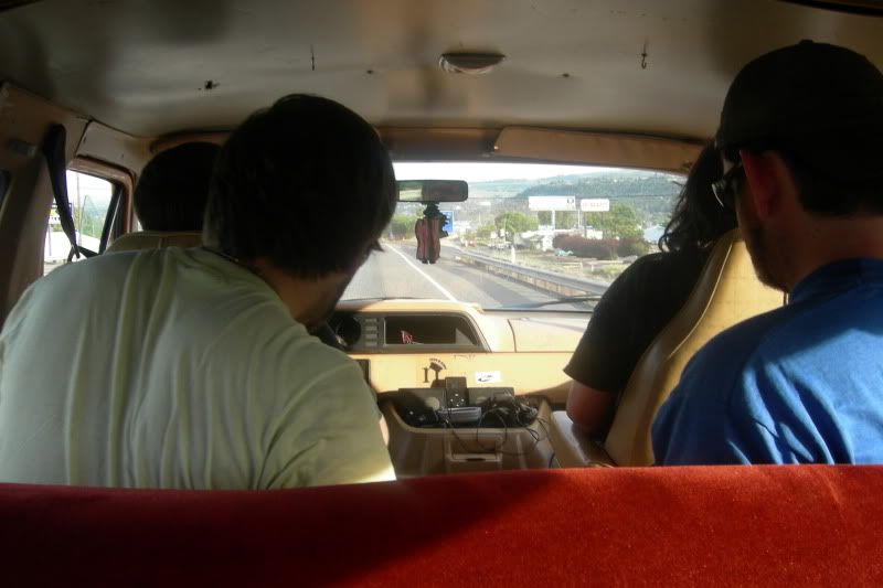
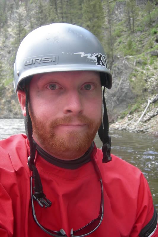
Your author and crew Medic Notice I still have MY helmet adn glases in this pic more on that later ;) (boy did I use alot of my gear and W-EMT/ER skills on this trip)
DSCN1795.jpg


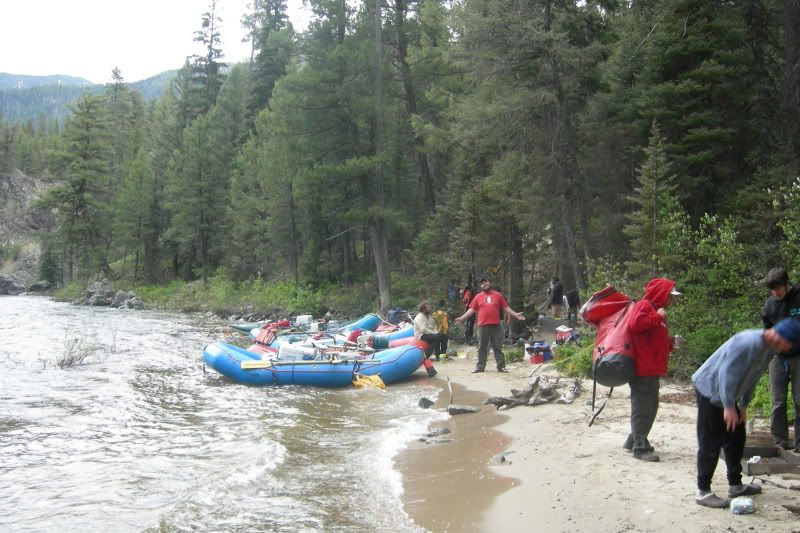
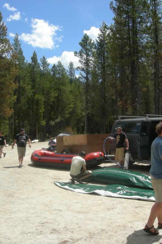
Un-loading @ the Boundry Creek put-in:
DSCN1763.jpg

DSCN1764.jpg

DSCN1766.jpg


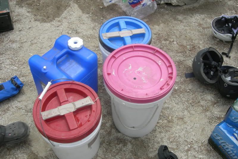
Our "Groovers": we used this as photo evidence for the Ranger @ Indian Creek so we didin't have to pull them out of the barney bag and unload one whole gear boat...
DSCN1767.jpg


...
 

4Rescue

Expedition Leader
...
The Boundry Creek put-in/Boat Ramp.
DSCN1788.jpg

DSCN1790.jpg

DSCN1789.jpg

This was a nice day to put on and I guess it's better to have nice weather when you're getting everything set-up. It would later turn into a massive Thunder storm that lasted for days... This seems to happen to us every year, maybe it's because we're shooting for big water/high flows so we go in the spring instead of the summer.


The Bri-man Brian Thompson @ the put-in: He's our resident Architect and the man that introduced us to the color Brown as a major fashion choice.
DSCN1785.jpg

He will now forever be refered to as "Ol' Flip Thompson: 3 years, 3 trips, 3 flips (and alot of flips in between).".. And the season is just starting. To be fair, this year he flipped because one of our crew members HAD to bring his sig. Other who frankly is Fat, out of shape and had no business being on this trip. This is the last trip she will be allowed to come on with us. Anwho, she was just arrently pointing at things and led Bri to believe that he should take the left line that led him into the massive boat-flipper that claimed him. For reference, we always point to the line for the boat up-stream in big water like this so that the gear boats can set-up and avoid what happened. So when this piece of dead-weight was pointing Brian asumed that the left line was clean...not so much. She claims she wasn't pointing at anything but 5 people saw her...Way to step up and take responsibility... I'm so sick of this woman it's not funny. Sorry, rant over

So...

Day1: Put on, within the first 20yds of the put in Andy who was rowing the first strech in the Cat smashed into a rock trying to get out into the chanel (the water was RIPPING) adn we thought he had just smacked the frame... Not so much. (I need to go get a picture of the thing tomorow adn will update this so you all can see the damage) Let's just say he turned a large sheet=steel dry-box into a piece of modern art.

It became readily apparent that this river was not to be underestimated and with the extreme level we were running at we were having trouble determining exactly where we were at any one time because things that are big @ 3.5ft are huge at 7 adn things that are nothing at 3.5 are now class III runns... Example: Doors Rock is usualy a nothing riffle at low water, and although these pics don't really do it justice, it was a full blown class III+ Rapid at 7ft :
DSCN1782.jpg

DSCN1776.jpg
...

So the water was big and just a mere .5 miles down was Murph's Hole... It was absolutely Massive (Sorry no pics, and I can't even find one on google so... Hopefully someone else in my group got some but I doubt it, we were all oaring/paddling for our dear lives)

...
 

4Rescue

Expedition Leader
...
Then came Velvet Falls: So this is a biggun...
Velvet-1.jpg

(Not my pic, but I'm guessing this is at like 3feet??? Certainly NOT at highwater)
This pic I doodled on shows where the water mark was last week when we were there. The green arrow is the sneak around the boulder on river left. It's rumored to only be open at 7+ feet and we kind of thought it looked run-able... Could we be at 7 feet??? Well, we were in deed that day at OVER 7 feet, 7.2 or so to be exact.
Velvet-1-2.jpg

The river was SO different at this level adn alot of camps were underwater but we were makintg 18 mile days in 1.5 hours so I'm bettting we could have done it in 3 days if we'd wanted... yeah the river was PUMPING!!!!)
Great rapid and as we scouted we watched 2 boats lacsidasicly roll in and run the sneak on river left no problem. So we decided Andy and I would runn foirst on the cat then Derek close 2nd (like 5 seconds close) Now Catarafts are HOLE PUNCHERS. They don't get surfed like rafts and they handle big water like it's nothing... WEll we charged Velvet adn I diud get a few good forward strokes on the pars but when we hit... WHAM!!!!!!! the Cat stood completely vertical and luckily BAm back down right-side-up adn Derek came in right behind us no problem... well the Paddle crew didn't fare as well. They flipped adn everyone swam... for about .75 miles untill we could collect everything, boat, padles, padlers... Now all this time one of our gear boat oar's men was watching and losing his nerve little by little. With a CBG somewhere around 60 I'd guess ( meaning low blood-sugar so NO energy adn not thinking clearly...) the fact that he'd brought his girl-friend, (although SHE actualy could have rowed, she's a pretty capable woman unline the other waste of space GF on this trip...) and watching the CAT almost flip and then the paddle boat ACTUALY flip...yeah he wasn't running Velvet, but hey, we were about 1.5 miles down river with no way of knowing this. So after they take 2 hours to line the boat through (so dissapointing, there was no reason for this and in teh end Joel burned his hand reall good on a rope...) we all re-grouped and decided, much like last year and teh year before to hit camp after a mere 5.6 miles on teh river. All the same, Big Bend Camp turned out to be a great camp, and for NOT running Velvet, Joel got a beach front Mullet carved into his fro just for good meassure ;)

Big Bend Camp:
DSCN1798.jpg

DSCN1807.jpg

And Joels silly Hair-cut:
DSCN1802.jpg

DSCN1810.jpg

Then we wen't to bed adn called it a night... Untill the next day.

Fun trip but a bit nerve racking so far...
 
Last edited:

Saline

Adventurer
Nice! My friends are on the Middle Fork right now. They were aprehensive about running at this level for sure. They should be off the river by this afternoon.
 

kellymoe

Expedition Leader
More, more, :wings:

I guides for a few years in California and always wanted to get up and do the MFS. One of these days.
 

4Rescue

Expedition Leader
SO... Ok we pushed off from Big Bend Camp at around 10am and were ripping down the river in NO time. Well, we came to Big Creek and Pistol and got out to scout because of a debris fan that had been there the years prior but was now washed out. What happened next is not clear but what IS clear is that a knot came loose and a boat got away from us un-manned... Yeah a stupid mistake almost cost us our boat and alot of our gear. So the Cat rocks Pistol and Big Creek solo and Andy and I TOOK OFF running 4 miles down river scrambling over boulders running past newly slaughtered elk carcass's (yeah that was fun being alone and feeling like a big Kitty was about to jump me...

Anyway, the bopat was GONE but fortunatly our safety Kayacker was hauling down the river after it and crazy as it seems it's jusat sitting there in the one eddy left on the river (yeah there were NO eddy's at this water level) basicly hanging on ny an ammo-can lashed to the frame... LUCKY WE WERE INDEED!!!!!!!!!!!!

So we hit up indian Creek and the Ranger Station, Filled water adn checked the water level... That day it was 6.66 I kid you not.

So our next task was getting signed up for Camp-sites and our next destination was Little Soldier Creek for our Lay-over Day. Neat camp, adn a great place to tie one on and have some fun...We had 15 H/G's of Whiskey and they weren't gonna drink themselves eh ;)
DSCN1824.jpg


Now it was rumored in the guide book that it was a short .9 mil.e hike over the bench to Sunflower Flats and the waiting hot-springs... WELL, when the book says ClassII Hike it can mean a few things. First off there's little to no trail, and frankly the milage is completely off. So we go over the Saddle... litteraly up 1000ft and over the saddle then down the back side to the hot-springs:
So we hiked...
DSCN1823.jpg

and Hiked
DSCN1822.jpg

Untill finaly we got to the top... (that's Kyle on the outside and Derok my little skinny Irish -to my Scottish- counterpart... We all lost some pounds on this trip)
DSCN1821.jpg

DSCN1819.jpg

Then we had to go down the other side to the HS... Well worth it BTW.
DSCN1814.jpg

DSCN1817.jpg

This HS even had a log that acted as a shower down at the river level as well as multiple pools with good rock bottoms (none of that swamp garbage)
A little Brauners and we were all feeling like new people even after the crazy first 2 days :D What was to be next!?!?!?!?!?!?!?!?!
Got back to camp (the hike back proved to be quite a bit easier with a different path choice) and found we had a visitor who was quite interested in us.
DSCN1826.jpg

...
 

4Rescue

Expedition Leader
So we begrudgingly pulled out of Little Soldier (nice camp...) and headed into the unknown. Luckily (well sort of) several of the rapids that we were worried about were somewhat washed and had several sneaks and some others that are litteraly NOTHING at 3.5 were super fun play holes. We surfed ther paddle boat for what felt like 5min at one point just laughing spinning and grabbing poeple if they looked like they were gonna get ejected but it really was a blast. BUT, again with the severly changed appearance of the river at these levels we were having some realy trouble finding where we were at any given time. But still if you have to be "lost, isn't it nice to be lost with a bunch of your buddies on one fo teh most gorgeous river trips in teh world ;) ??? I thought so. Anyway back to the pics.

Our next dest. was Loon Creek (and one of my fav places... well hell they were all my favorite) Now Loon Creek looked like another RIVER running into the middle fork, it was amazing.
You tell me, wich one is the Middle fork and wich one is Loon Cr. ??? I'll give you a hint, Loon Cr. Is on the Left (river Right) adn it was absolutely FLOODING!!!!!!! Oh how I wish someone would have gotten a Vid of what went down next... Well, we hiked out Aire Puma up the Creek where
Mathew
DSCN1937.jpg

(my G/F's Little Bro and a great friend/Brother-in-law to be) at Front Left
Chris (one of my best friends/brother's for 15 years and one of the driving forcesa behind our trips in general)
DSCN1883-shiftycrop.jpg

out the back acting as our faithful "guide"
and myself front Right
DSCN1886.jpg

(as in R3 in a 10ft. boat !!!!!!!!!!!!!!!!!!!!! YEEHAW) Ran loon Cr. from about 5 miles or so up??? We went just past the Hot springs but just short of the Bridge that all the Yakers go to. It really was one amazing little side run imo and was something I'll never forget. Going out to run the MF at extreme water level's then hiking up and Creeking a massively flooding cr. in a raft. the Yakers that were up there were pretty skeptical at fgirst, but at the bottom we had made some new friends and I will pat ourselves on the back pretty hard and say they were pretty impressed. It really wasn't all THAT bad, it really was just sort of run center and aviod the big wrap rocks, but that little Puma adds some fun as it's TINY and really narrow, kind of like a 3 man Canoe, super manuverable and FAST on the water. What's really cool is that the floor (it's a self bailer) has these screened pockets that let the outer skin of the floor fill with water and act as a keel so while you have to ride it like a bucking bronc it's not easy to flip like it would first seem. With the right 3 (like we were running) we could put that thing anywhere adn it wasn't even as tiring as a on the big paddle boat because there was NO DEAD WEIGHT.

Here's the Creek again.
DSCN1835.jpg

From a little ways up stream...
DSCN1853.jpg

Heres Cache Creek coming into Loon Cr.
DSCN1850.jpg

Rancher Dan (awsome guy who runs a hunting outfitter up there at tyhe ranch at Loon. He and his Border Collie Roper are top notch in my book) Uses this creek to irrigate his fields and get power off of it as well in some capacity. Even this mini Creek was just EXPLODING with water. At this point I'd say another 2000-2500 CFS are being added to the Middle fork.
God how I love this place. I really want to move to rural Idaho for awhile, it's one amazing place and it just makes me feel calm and at peace to be there in the woods with the river rushing by.

...
 
Last edited:

4Rescue

Expedition Leader
...

So we all made it back down the Creek and set-up camp/the tarp city.
(L-R Eddie, Brian, Micah and Joel)
DSCN1838.jpg

(this was one of my fav. Tarp-wings we made, it held up great to this kind-see next pic- of weather adn it's assosciated winds/rain
DSCN1831.jpg

DSCN1841.jpg

DSCN1829.jpg

Oh yeah and we ate some of our typical meat feast's...
DSCN1846.jpg

DSCN1844.jpg

This deserves a bit of an explination:
Zach...
DSCN1830.jpg

has a Treager Smoker/trailer that he uses's ALOT so he pre-cook's everything in various ways and them vacum packs all of our big meals so all we have to do is fire up the master-blaster Propane jet with a big pot of filtered river water (we use these awsome "dry bag" like hanging water filters to filter river water and are NEWVER w/o water, it's nice) adn within the time it takes to warm up the food it's done. no waiting. Add some tortillas, some Vegies adn we pretty much ate like kings every night. Prime-rib, briscut, terrayaki chicken, pulled pork... yeah we're kind of Glamper Rafters for sure eh ;) HAHAHAHAHAHAHA

Then we decided to hike BACK UP to go to the hot springs. Was there ever any question??? After a sweet day/run like that, a soak in a GREAT hot springs was just what we all needed.
DSCN1854.jpg

DSCN1855.jpg

...
 
Last edited:

4Rescue

Expedition Leader
...

Setting off from Loon Cr. We headed down river to Sheep Cr. Camp. As it turned out this would be the windiest/rainiest night in one of the most open and sherlterless camps. Of course it was, why would we have nice weather in a great camp like that. BUT, there was an AWESOME side hike up to a low knoll behind camp. 4 of us wen't up then traversed over to the creek and back down to camp. Got some GREAT views from up to, what a place.
DSCN1864.jpg

The obligitory Chaco shot, our camp is down along the left river bank in the lower center of the pic.
DSCN1863.jpg

DSCN0004.jpg

DSCN1816.jpg


Next morning it was up adn off for our last night on the river. The oaddling was fairly tame for the this and the day before but it was nice to get to look around at the canyon instead of having your head down adn paddling like mad to stay alive...
We even figured out where we were and made it off the river to see 'waterfall Creek"... My god, SO MUCH WATER!!!!!
DSCN1882.jpg

DSCN1881.jpg

DSCN1884.jpg

DSCN1883.jpg

"Ol Flip Thompson a mere 24 hours before his next flip... Sure looks happy for a guy who's gonna flip his boat. if he only knew...
DSCN1891.jpg

DSCN1887.jpg


...


...
 
Last edited:

4Rescue

Expedition Leader
Our 6th and Final night on the river was spent at Elk bar wich at low water is an amazing Sandbar... However we weren't all on the same page and someone just plain dropped the ball when reading the description of the camp as it clearly states "yadda yadda Yadda... AND A NICE BIG GARDEN OF POISION OAK!!!!!!" Well sure enough, there it was, between the beach/kitchen set-up spot and all of the flat Tarp landings.

(the green you see in the fore-ground is ALL P-Oak adn there was more of it to be found around the camp. me I'm not allergic really so I was fine, still am)
DSCN1897.jpg


...
 
Last edited:

4Rescue

Expedition Leader
...

Oh well Last night and all at least eh HAHAHAHAHA. best part is my best friend the useless SO of our buddy Eddie and the Fat lump who basicly doomed Bri to flipping is SO LAZY she couldn't be bothered to pick up her Paco-Pad and dragged it through the PO so hopefully she'll get a taste of Trip Karma and get some serious PO before the summer's over (yes I'm evil, but this woman is SO USELESS adn so annoying that I just can't stand to even be in teh same room she's in...)

Anywho. There was also a Cave and petroglyphs that were not mentioned in ANY of the guidebooks so we felt like we were discovering something for te first time. We weren't but hey it's a neat feeling all the same.
DSCN1923.jpg

DSCN1924.jpg

DSCN1926-1.jpg


The Lovely Micah's hand pointing out the 39 points.
DSCN1925.jpg


we kind of guessed from the other glyphs that perhaps there were a few people who rode out a 39 day storm. One of the Glyphs looks like a person under falling snow(the one on the right)
DSCN1927.jpg
 

Forum statistics

Threads
188,531
Messages
2,906,355
Members
230,598
Latest member
Bobah
Top