turbodb
Well-known member
Whipsaw Trail 1 - Finally Four, We Venture North
Most of the trips I do require a full day - or more - of freeway driving just to reach the trailhead, so you can imagine my delight when we decided to do a trip on the west coast. Sort-of. At least, our meeting location was only four hours away - in the tiny little community of Mazama, WA. From there, we'd head north - to British Columbia, Canada - where we planned to run The Whipsaw Trail and then make our way north and west to Molybdenite Peak - before turning south again for the United States.
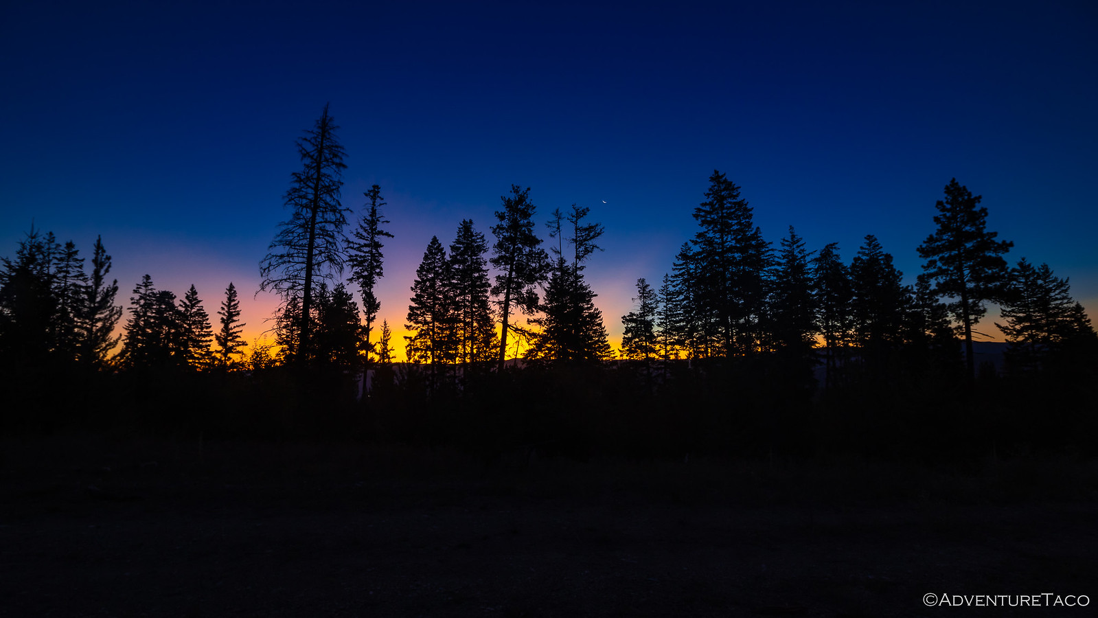
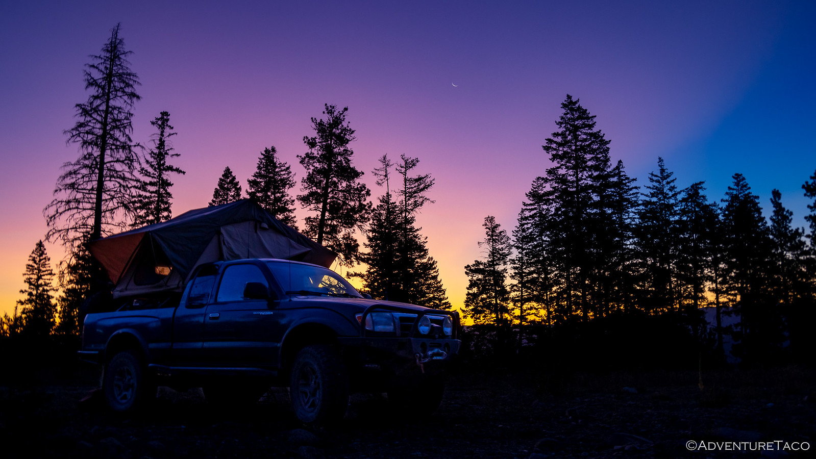
It was strange to leave the house in the middle of the afternoon on a Monday, and arrive at a camp location that Mike @Digiratus had arranged for us just as the sun was setting. The weather was pleasant, and we enjoyed ourselves chatting and watching 30 deer stroll by, until Dan @drr showed up around 11:00pm.

That left only Monte @Blackdawg absent - but he had a much longer drive, some 12 hours or so - and we all went to bed wondering when we'd see him... because though he'd planned to be in Mazama around the same time as Dan, he'd left 12 hours late - at 9:00pm - and now planned to drive through the night. Fun times.
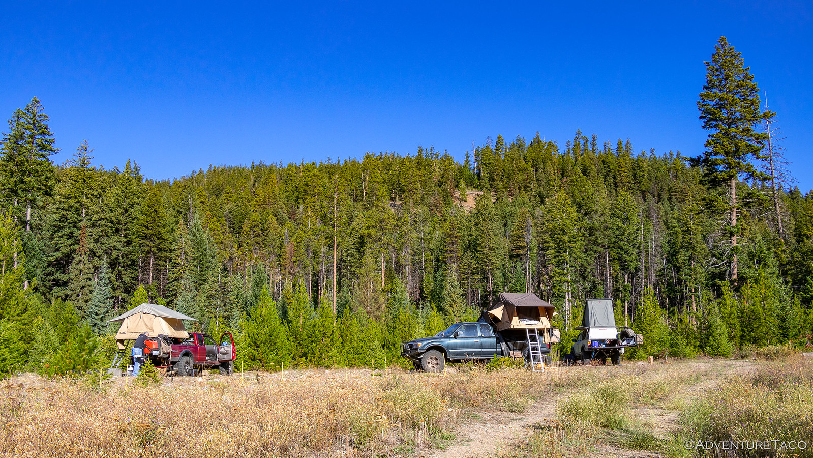
As the morning sun spilled across our tents, Dan's new dog - echo - poked her head out to see what the new day would bring.
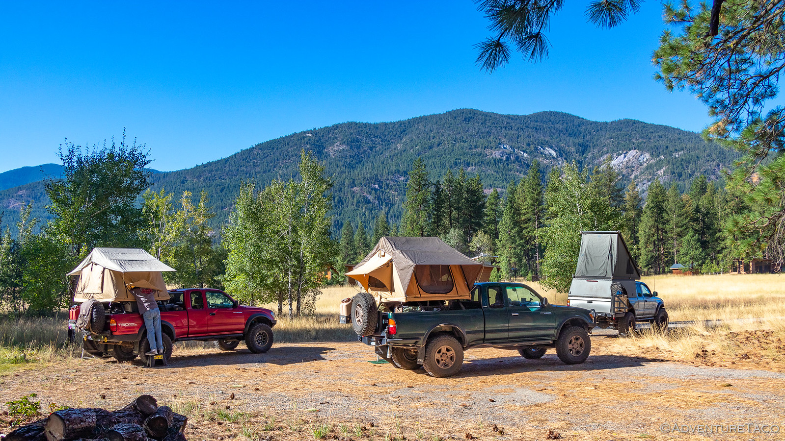

For a while, what it brought was some lounging around and taking it easy - a definite departure from our usual morning greeting and then breakdown of camp. See, I'd gotten a text from Monte, and he predicted an 11:00am arrival, having slept for a solid 90 minutes or so over the entirety of the night. Yuk.

He was right on time* it turned out, and we were ready to go - the strangeness of this trip, just the beginning of what would be a series of surprises! A quick fuel up, and we aired down as we headed north on the backroads of Washington, toward the tiny town of Nighthawk, and the Canadian border.
* his newly revised, 12-hour late time.

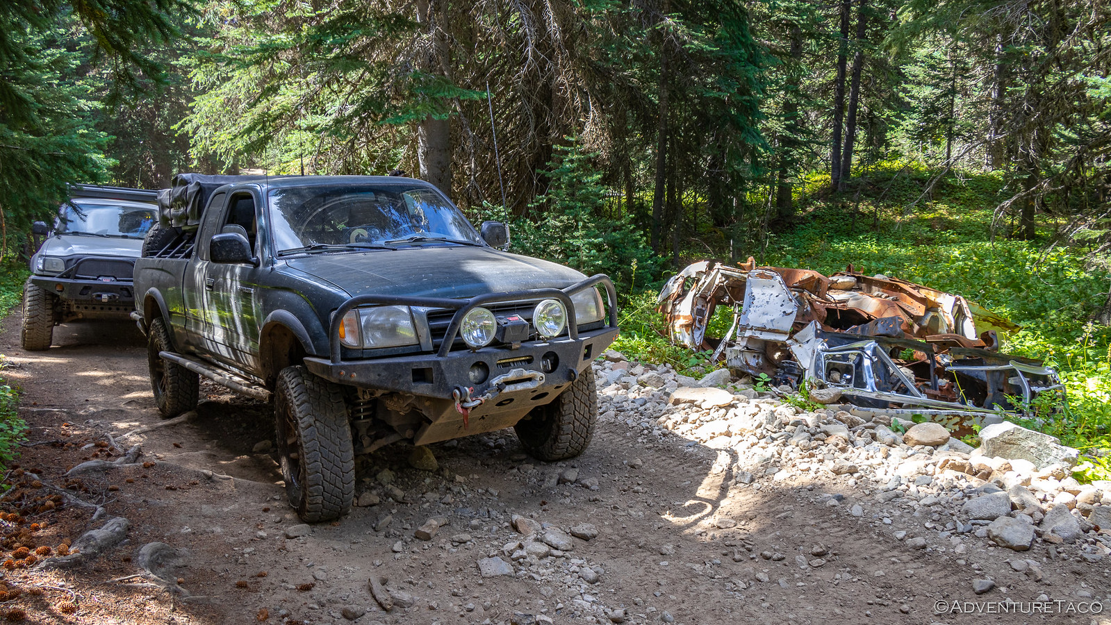
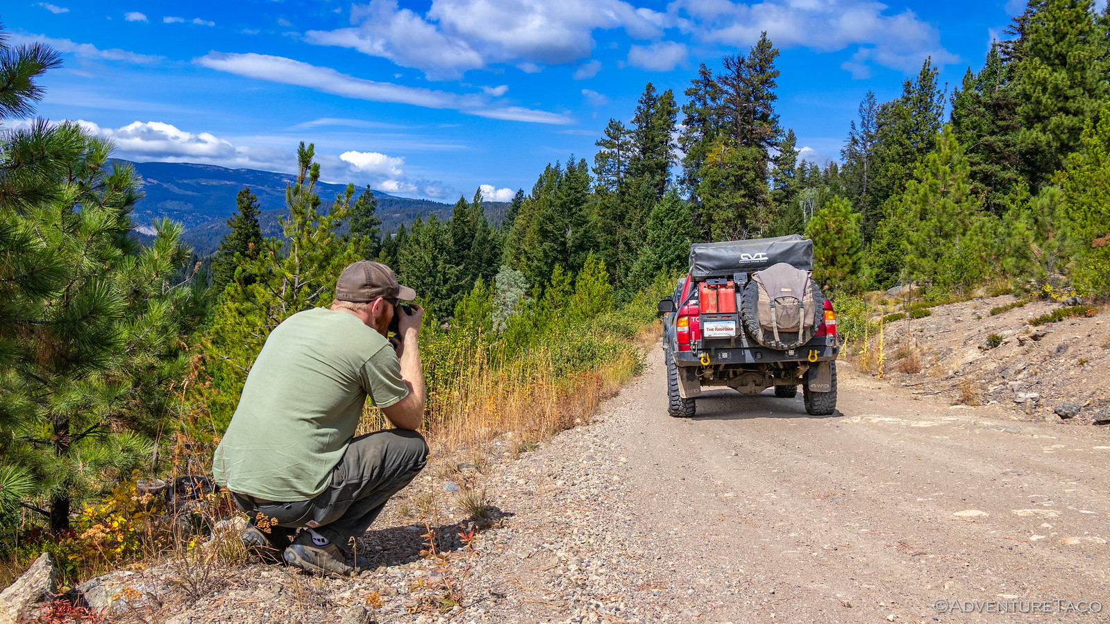
The trails we traveled for this first part of our journey were reasonably major Forest Service roads, and we made good time - when we were actually moving - which as usual was sporadic, given our frequent photo stops and the ********-chat that accompanies the start of any reunion of friends.


Now, it should be noted that one of the major topics of conversation was a new addition to Dan's truck - he'd just recently gotten a Go Fast Camper (GFC) and we were all quite interested in how he liked it (and whether we'd admit it or not - wondered if it would be a good addition to our own trucks ? ).
He of course loved it, and it fit great on his 1st gen Tacoma - hugging the top of the cab even closer than it does on later models.

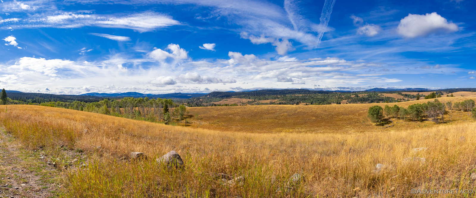
Making our way north, we passed through miles and miles of burned forest. Burned as part of the 175,184 acre Tripod Complex in 2006, these forests are just now starting to see new growth, most of the young trees 5-7 years old, and under 10' high. It's a trade-off of course - the lack of mature trees allowing for distant views, but those same views are of burned forest.


The Spur Creek fire - one of the two that merged into the Tripod Complex started on July 3 and was declared fully contained on July 14, 2006. However, another round of lightning storms and high winds caused the fire to jump the lines on July 27, and eventually merge with the Tripod Fire in August. It wasn't until the first snow in October that the fires were finally extinguished - over 3,000 firefighters and a battalion of 550 Army soldiers helping to fight the blaze.


Eventually, we made our way out of the hills around Loomis - the agriculture of the valley in stark contrast to the landscape we'd traveled through over the course of the last several hours.

Don't miss the rest of the story, and all the remaining photos that don't fit here (due to max post size). Hopefully that can change in the future, but until then...
.
Most of the trips I do require a full day - or more - of freeway driving just to reach the trailhead, so you can imagine my delight when we decided to do a trip on the west coast. Sort-of. At least, our meeting location was only four hours away - in the tiny little community of Mazama, WA. From there, we'd head north - to British Columbia, Canada - where we planned to run The Whipsaw Trail and then make our way north and west to Molybdenite Peak - before turning south again for the United States.
It was strange to leave the house in the middle of the afternoon on a Monday, and arrive at a camp location that Mike @Digiratus had arranged for us just as the sun was setting. The weather was pleasant, and we enjoyed ourselves chatting and watching 30 deer stroll by, until Dan @drr showed up around 11:00pm.

That left only Monte @Blackdawg absent - but he had a much longer drive, some 12 hours or so - and we all went to bed wondering when we'd see him... because though he'd planned to be in Mazama around the same time as Dan, he'd left 12 hours late - at 9:00pm - and now planned to drive through the night. Fun times.
As the morning sun spilled across our tents, Dan's new dog - echo - poked her head out to see what the new day would bring.


For a while, what it brought was some lounging around and taking it easy - a definite departure from our usual morning greeting and then breakdown of camp. See, I'd gotten a text from Monte, and he predicted an 11:00am arrival, having slept for a solid 90 minutes or so over the entirety of the night. Yuk.

He was right on time* it turned out, and we were ready to go - the strangeness of this trip, just the beginning of what would be a series of surprises! A quick fuel up, and we aired down as we headed north on the backroads of Washington, toward the tiny town of Nighthawk, and the Canadian border.
* his newly revised, 12-hour late time.

The trails we traveled for this first part of our journey were reasonably major Forest Service roads, and we made good time - when we were actually moving - which as usual was sporadic, given our frequent photo stops and the ********-chat that accompanies the start of any reunion of friends.


Now, it should be noted that one of the major topics of conversation was a new addition to Dan's truck - he'd just recently gotten a Go Fast Camper (GFC) and we were all quite interested in how he liked it (and whether we'd admit it or not - wondered if it would be a good addition to our own trucks ? ).
He of course loved it, and it fit great on his 1st gen Tacoma - hugging the top of the cab even closer than it does on later models.

Making our way north, we passed through miles and miles of burned forest. Burned as part of the 175,184 acre Tripod Complex in 2006, these forests are just now starting to see new growth, most of the young trees 5-7 years old, and under 10' high. It's a trade-off of course - the lack of mature trees allowing for distant views, but those same views are of burned forest.


The Spur Creek fire - one of the two that merged into the Tripod Complex started on July 3 and was declared fully contained on July 14, 2006. However, another round of lightning storms and high winds caused the fire to jump the lines on July 27, and eventually merge with the Tripod Fire in August. It wasn't until the first snow in October that the fires were finally extinguished - over 3,000 firefighters and a battalion of 550 Army soldiers helping to fight the blaze.


Eventually, we made our way out of the hills around Loomis - the agriculture of the valley in stark contrast to the landscape we'd traveled through over the course of the last several hours.

Don't miss the rest of the story, and all the remaining photos that don't fit here (due to max post size). Hopefully that can change in the future, but until then...
Keep reading the rest here
Whipsaw Trail 1 - Finally Four, We Venture North
Whipsaw Trail 1 - Finally Four, We Venture North
.

