R_Lefebvre
Expedition Leader
Ok, I'm not sure which is the proper sub-forum to post this, is it regional, I dunno, so I'll throw this out there and see where it sticks.
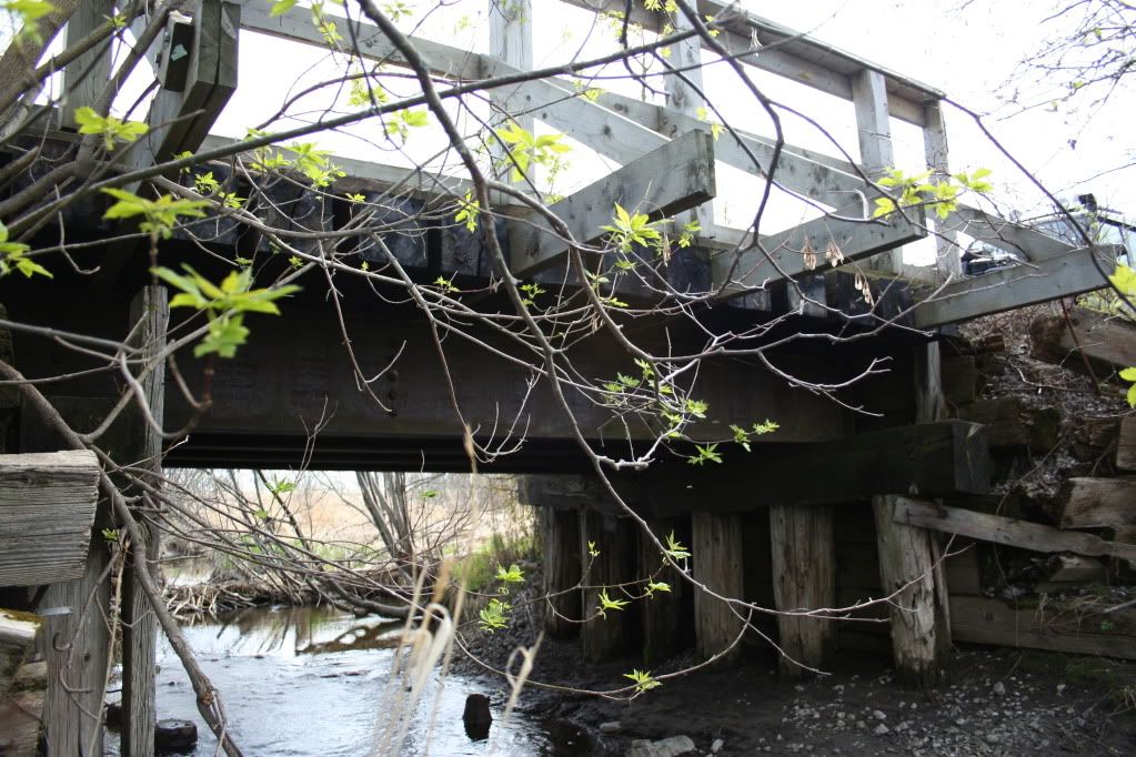
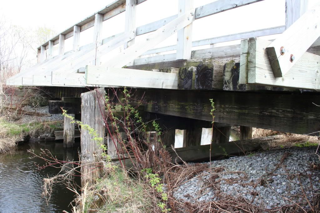
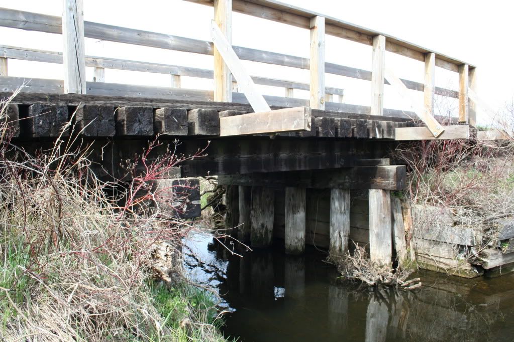
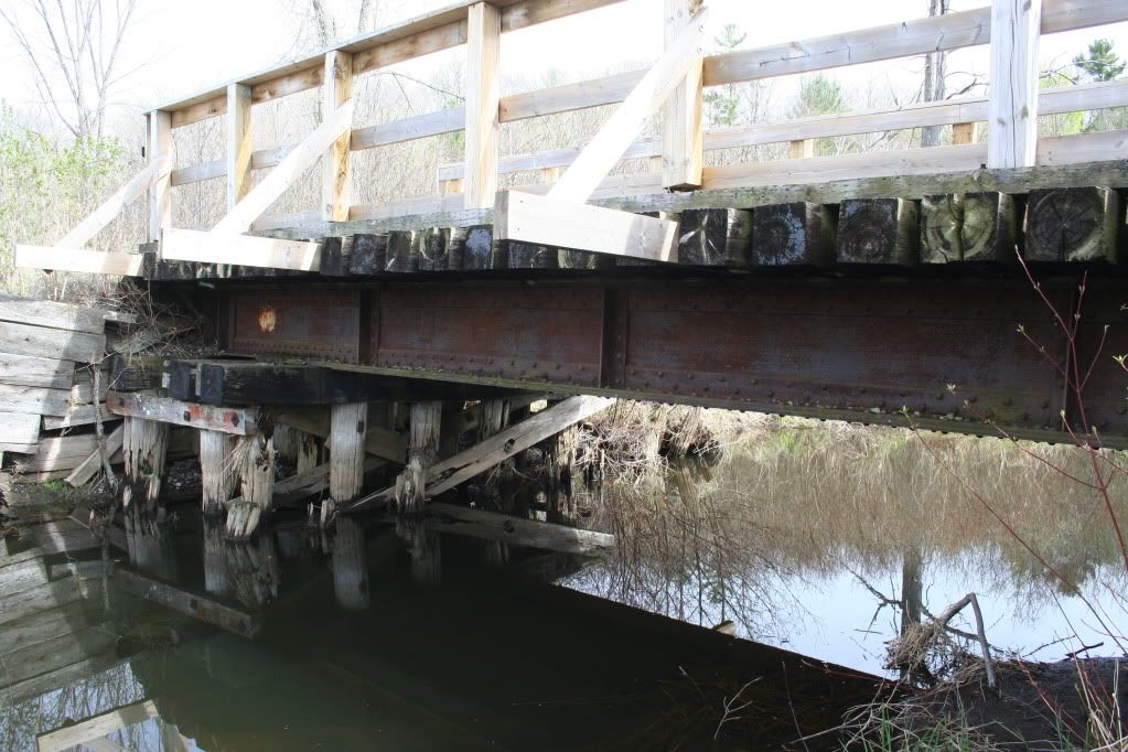
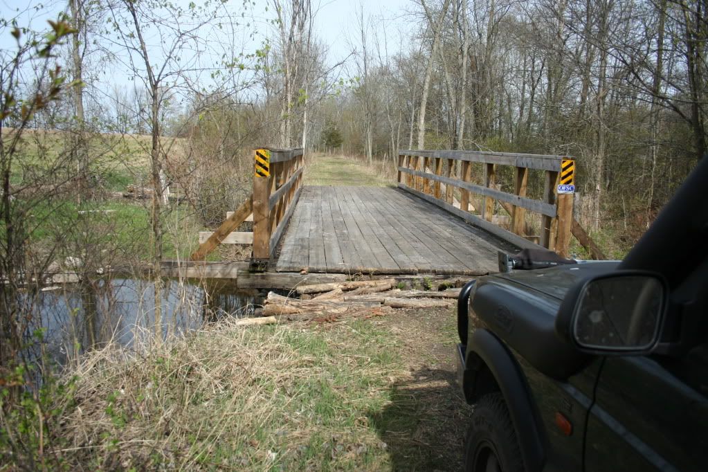
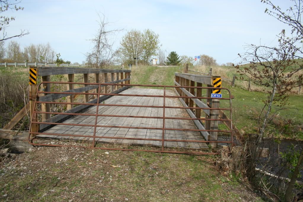
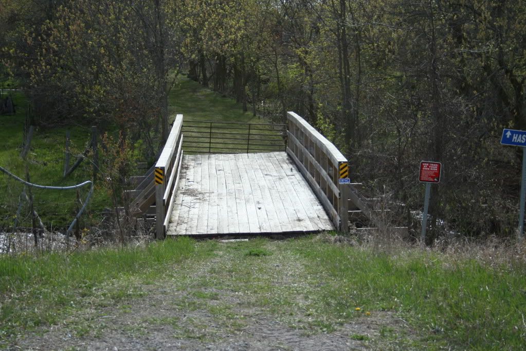
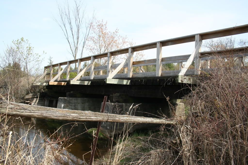
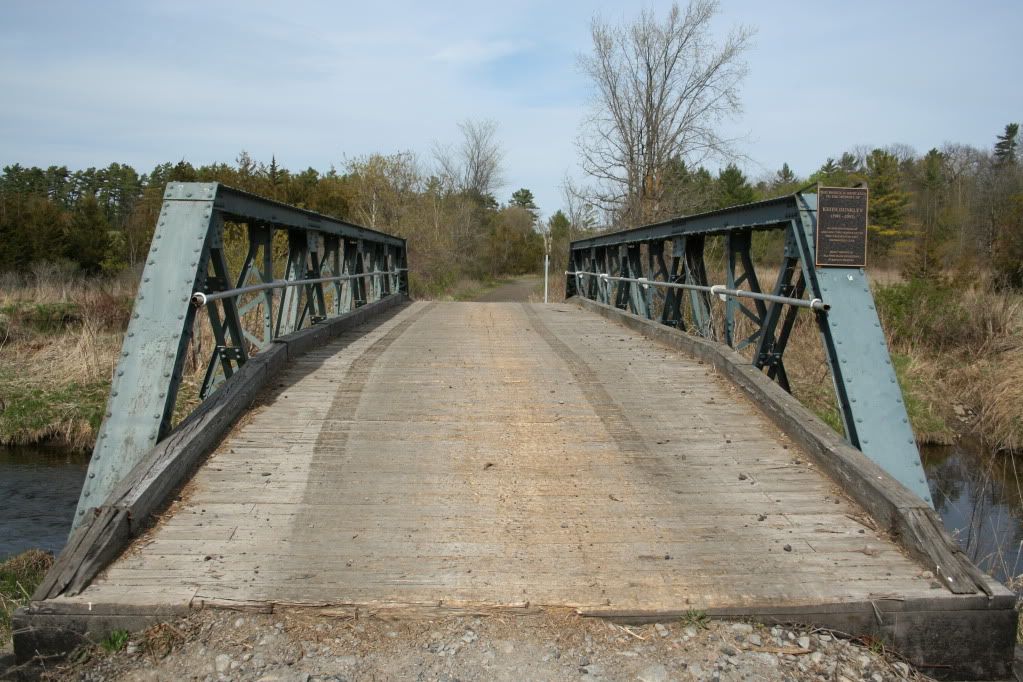
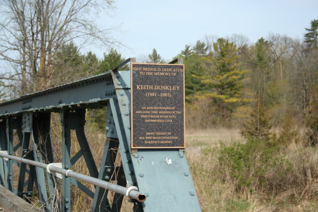
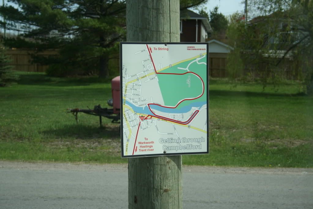
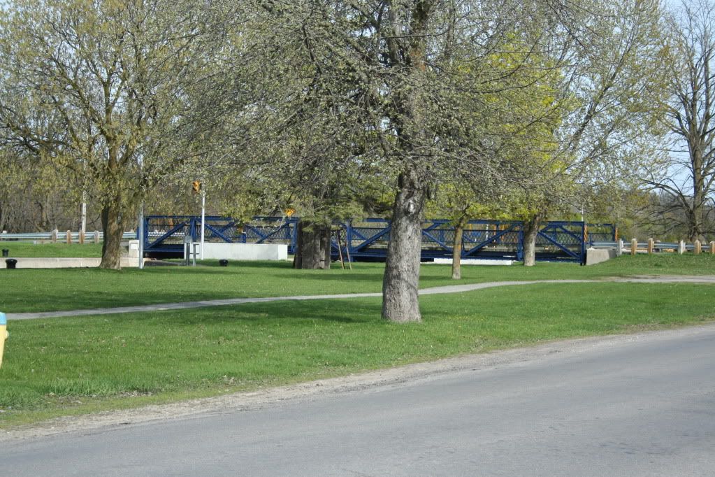
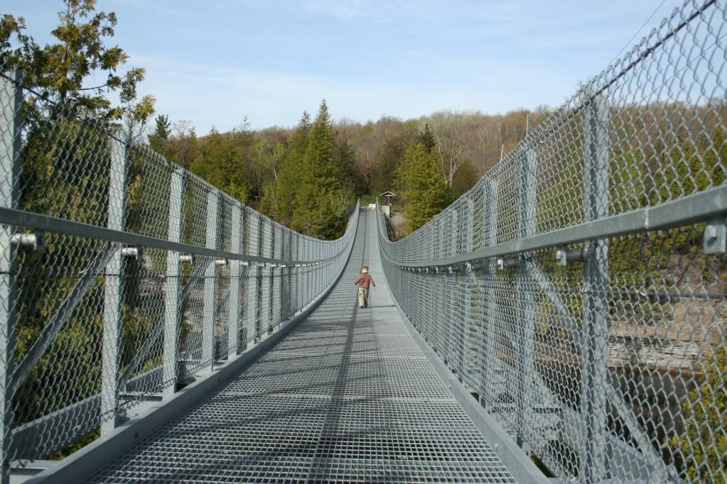
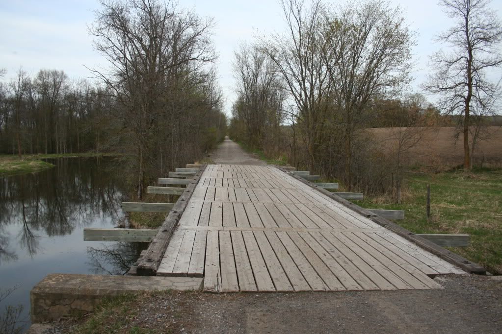
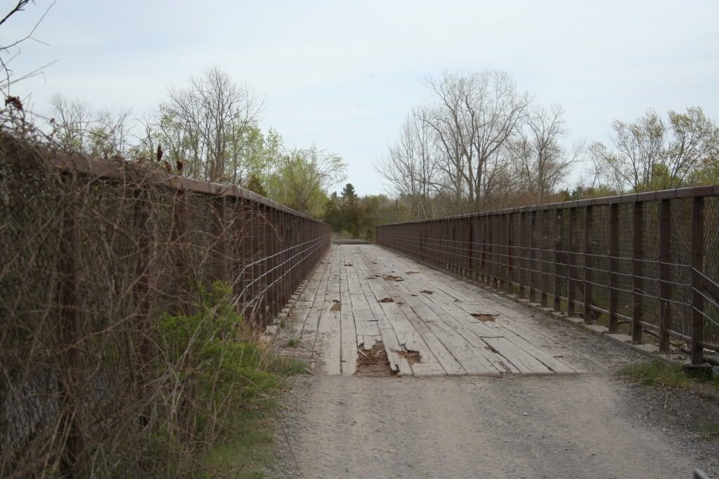
The intent of this post, and the reason I'm calling it a "project", is because I feel like I'm breaking new ground. I want to document for others, what resources we have for "overlanding" in Ontario. Most people think of places further south when they think about driving great distances off-road. But it seems like maybe we have some good opportunities up here. What I'm referring to is our network of abandoned rail beds which go hundreds of miles into the back country. The two biggest issues with using these rail beds is the legality, and the fact that these roadways cross many rivers, utilizing bridges. Old bridges. That is why a big part of my photo essay deals with these bridges, and any signage that I find. The legality is an difficult issue. Most of these rail beds are on Crown Land, publicly owned, open to all... except for some NGO's who attempt to stake a claim to them, with questionable legality. There are actually several battles brewing over this issue amongst various user groups. Snowmobiles have a legal right to control access to trails due to the national Snowmobile Act. But there is no such law for the warmer months. It would appear that in the some places, local bylaws close the trails to usage, and this what I discovered on my initial foray. With a road legal vehicle, it's easy enough to drive through town, and pick up the trail on the other side.
There are a number of systems to investigate. First up is the Eastern Ontario Trails Alliance system.
http://www.thetrail.ca/
http://www.bing.com/maps/Default.as...06506248&lvl=8&sty=r&cid=FFF40924343813D0!784
Then the Central Ontario Loop Trail.
http://www.looptrail.com/
http://www.looptrail.com/mapoverview.htm
And the last that I'm aware of is the Park to Park Trail.
http://www.parktoparktrail.com/
http://www.parktoparktrail.com/map_large.html
Now, none of these systems specifically invite off-road trucks. But, I can find no specific exclusion either. There certainly isn't a general law restricting road vehicles from using clear roadways on crown land. So barring any local restrictions, locked gates, or no-trespassing signs... I'm going for it. I think a big part of the reason these trails systems are not inviting trucks is because... there is seen to be little interest. And also for liability concerns due to having 5000lb trucks crossing old bridges. On that point, it's important to note that most of these trails are used as snowmobile trails in the winter, meaning they are groomed, which I believe they use big Cats to do that. So the bridges have to be strong.
Ideally, I'd love to string together a series of trails to form a long roadway. Using the Hastings Heritage Rail Trail from just north of Trenton Ontario, can get you up to Algonquin Park. Linkage could be made to the other side, possibly through the Hay Creek Hydro Line, which IS legal to drive for sure. Or worst case, Highway 60 through the park, and pick up the Park to Park Trail on the other side, all the way to Georgian Bay. A distance of some 3-400 km.
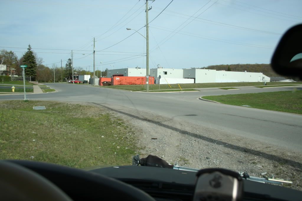
So anyway, on Saturday, I decided to start this "expedition". I decided to tackle the River Country Trail from Hastings Ontario, to the E108 Multi-Use Trail through Campbellford, Sterling, and ending in Corbyville.
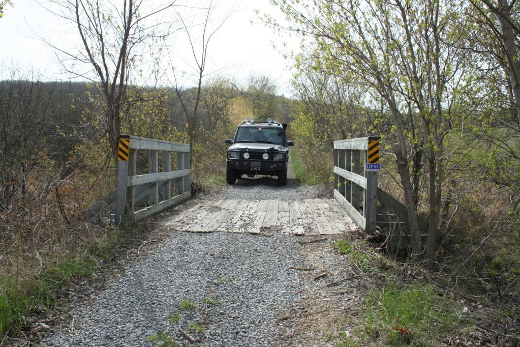
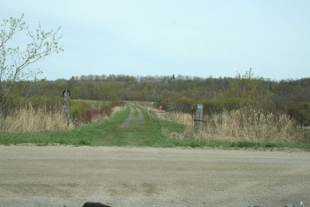
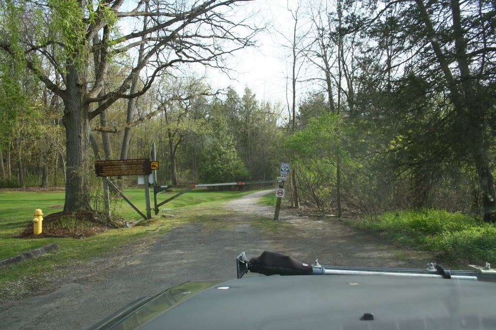
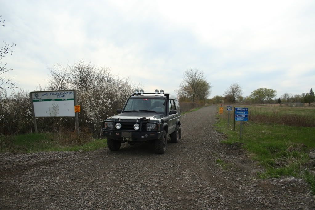
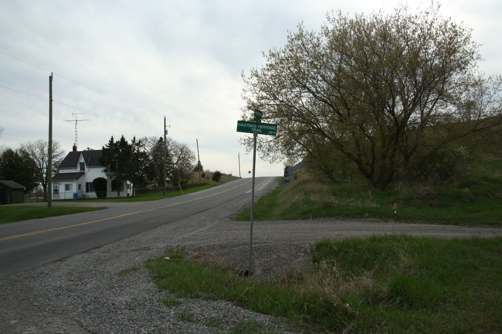
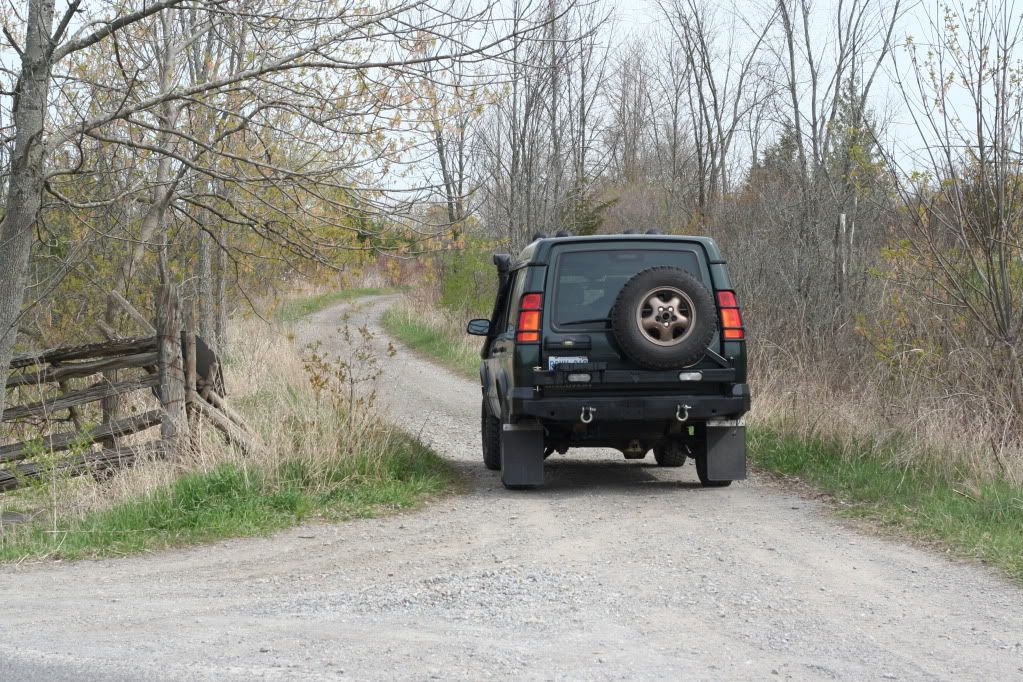
So, here's where I started out. I drove to Hastings, and started looking for the trail, which is not indicated in any way. There was a section close in to town, which I assumed would be closed, so I found where the trail intersected a roadway outside of town. Looking back, I saw no reason why I couldn't drive back into Hastings on the section of trail I skipped but... seemed pointless. So here's where the trail crosses Concession Road 13. As you can see, there are no signs indicating controlled access. It's a very wide roadway.
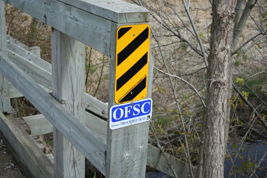
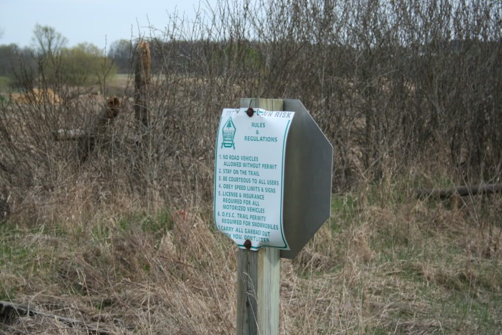
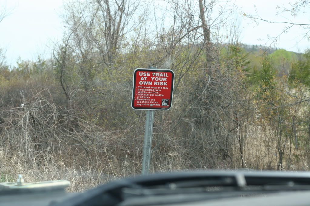
The only sign present was this one. Very standard Ontario Federation of Snowmobile Clubs signs seen on trails all over Ontario.
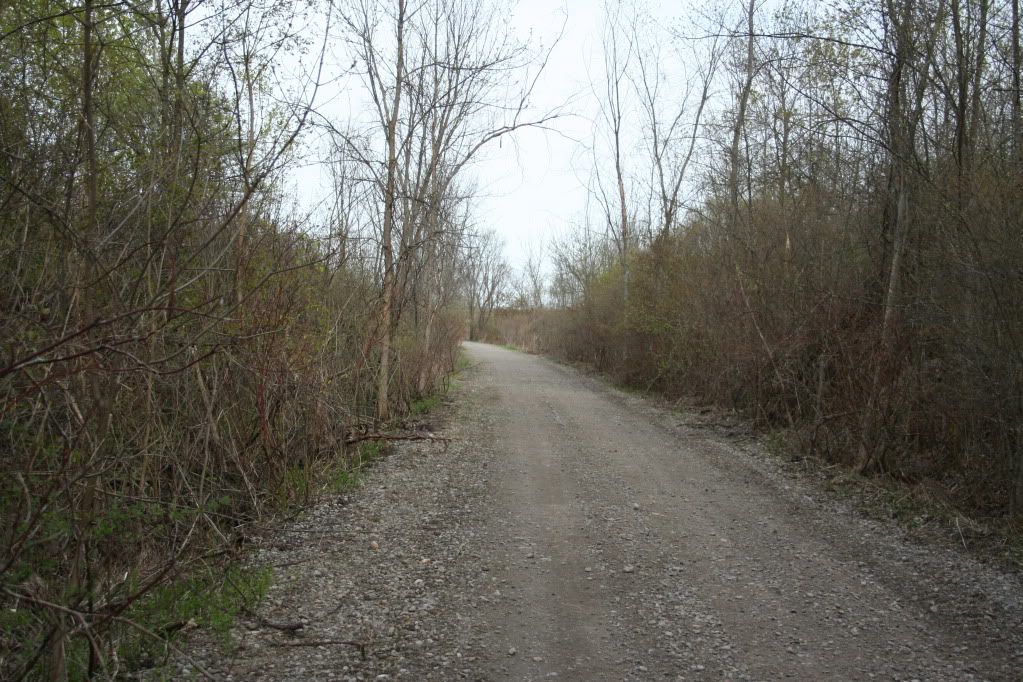
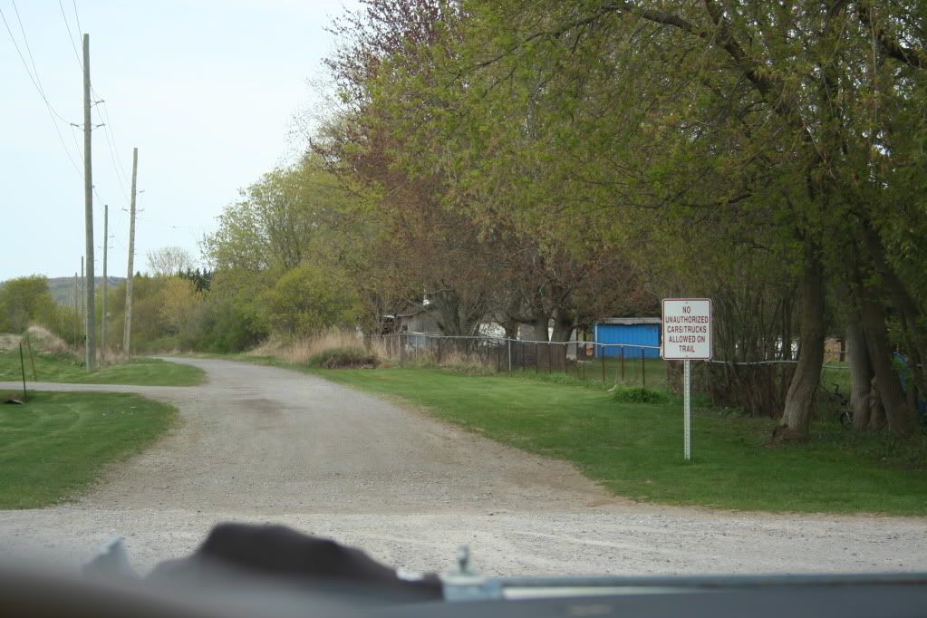
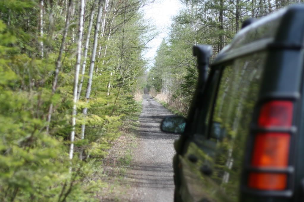
Further along the trail, this is a pretty typical view. It wasn't all arrow straight, but it was very wide, gravel, and well graded. Overall, you could easily do this in a 2wd truck. Maybe even a high clearance car like a Subaru. I consider it a level 1 or 1+ trail. I'm not doing this for the thrill... just interested in seeing what's out there. These trail systems DO access much more interesting "wheeling" trails further north.
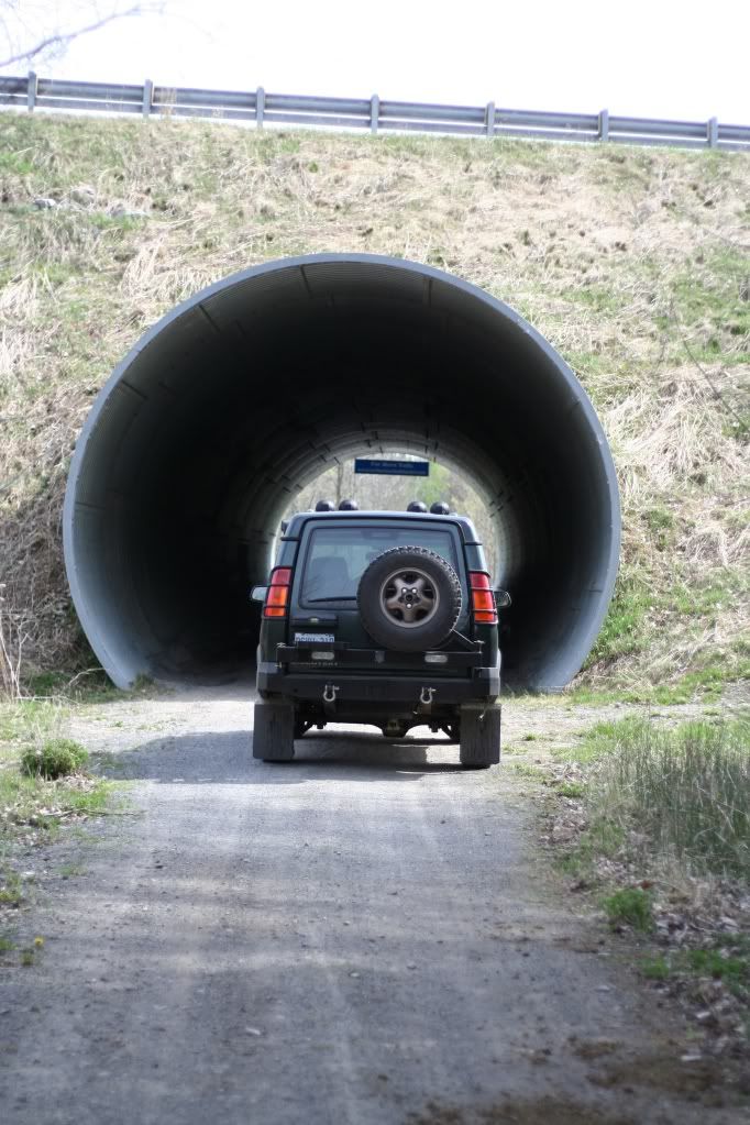
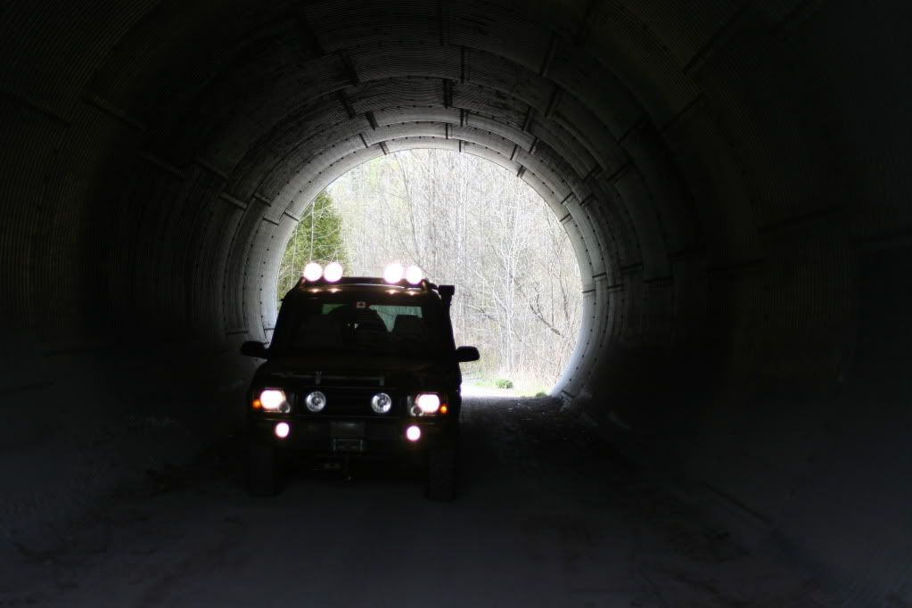
Further along, I found underpass under Highway 35. Large, very good condition culvert tunnel.
The intent of this post, and the reason I'm calling it a "project", is because I feel like I'm breaking new ground. I want to document for others, what resources we have for "overlanding" in Ontario. Most people think of places further south when they think about driving great distances off-road. But it seems like maybe we have some good opportunities up here. What I'm referring to is our network of abandoned rail beds which go hundreds of miles into the back country. The two biggest issues with using these rail beds is the legality, and the fact that these roadways cross many rivers, utilizing bridges. Old bridges. That is why a big part of my photo essay deals with these bridges, and any signage that I find. The legality is an difficult issue. Most of these rail beds are on Crown Land, publicly owned, open to all... except for some NGO's who attempt to stake a claim to them, with questionable legality. There are actually several battles brewing over this issue amongst various user groups. Snowmobiles have a legal right to control access to trails due to the national Snowmobile Act. But there is no such law for the warmer months. It would appear that in the some places, local bylaws close the trails to usage, and this what I discovered on my initial foray. With a road legal vehicle, it's easy enough to drive through town, and pick up the trail on the other side.
There are a number of systems to investigate. First up is the Eastern Ontario Trails Alliance system.
http://www.thetrail.ca/
http://www.bing.com/maps/Default.as...06506248&lvl=8&sty=r&cid=FFF40924343813D0!784
Then the Central Ontario Loop Trail.
http://www.looptrail.com/
http://www.looptrail.com/mapoverview.htm
And the last that I'm aware of is the Park to Park Trail.
http://www.parktoparktrail.com/
http://www.parktoparktrail.com/map_large.html
Now, none of these systems specifically invite off-road trucks. But, I can find no specific exclusion either. There certainly isn't a general law restricting road vehicles from using clear roadways on crown land. So barring any local restrictions, locked gates, or no-trespassing signs... I'm going for it. I think a big part of the reason these trails systems are not inviting trucks is because... there is seen to be little interest. And also for liability concerns due to having 5000lb trucks crossing old bridges. On that point, it's important to note that most of these trails are used as snowmobile trails in the winter, meaning they are groomed, which I believe they use big Cats to do that. So the bridges have to be strong.
Ideally, I'd love to string together a series of trails to form a long roadway. Using the Hastings Heritage Rail Trail from just north of Trenton Ontario, can get you up to Algonquin Park. Linkage could be made to the other side, possibly through the Hay Creek Hydro Line, which IS legal to drive for sure. Or worst case, Highway 60 through the park, and pick up the Park to Park Trail on the other side, all the way to Georgian Bay. A distance of some 3-400 km.
So anyway, on Saturday, I decided to start this "expedition". I decided to tackle the River Country Trail from Hastings Ontario, to the E108 Multi-Use Trail through Campbellford, Sterling, and ending in Corbyville.
So, here's where I started out. I drove to Hastings, and started looking for the trail, which is not indicated in any way. There was a section close in to town, which I assumed would be closed, so I found where the trail intersected a roadway outside of town. Looking back, I saw no reason why I couldn't drive back into Hastings on the section of trail I skipped but... seemed pointless. So here's where the trail crosses Concession Road 13. As you can see, there are no signs indicating controlled access. It's a very wide roadway.

The only sign present was this one. Very standard Ontario Federation of Snowmobile Clubs signs seen on trails all over Ontario.

Further along the trail, this is a pretty typical view. It wasn't all arrow straight, but it was very wide, gravel, and well graded. Overall, you could easily do this in a 2wd truck. Maybe even a high clearance car like a Subaru. I consider it a level 1 or 1+ trail. I'm not doing this for the thrill... just interested in seeing what's out there. These trail systems DO access much more interesting "wheeling" trails further north.

Further along, I found underpass under Highway 35. Large, very good condition culvert tunnel.


