You are using an out of date browser. It may not display this or other websites correctly.
You should upgrade or use an alternative browser.
You should upgrade or use an alternative browser.
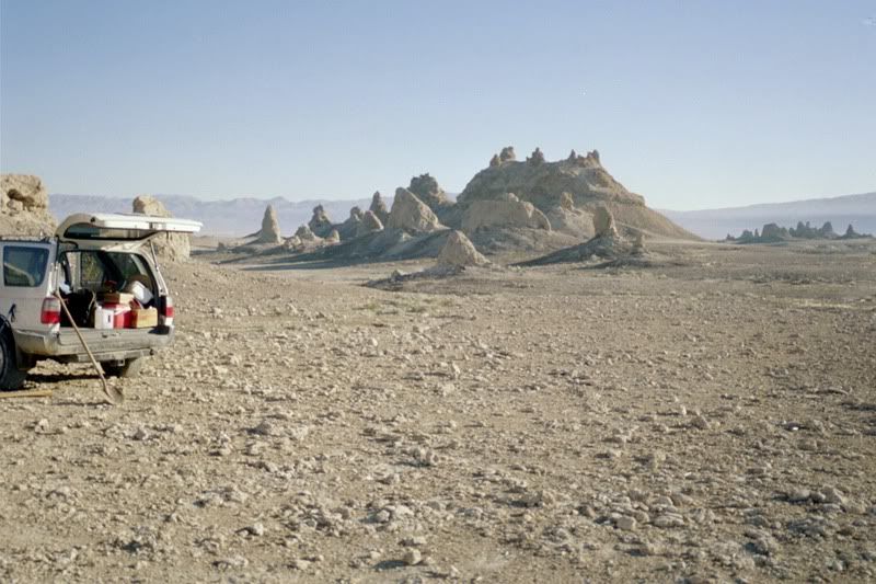
Trona Pinnacles, Inyo Mountains and Death Valley April '09
- Thread starter teotwaki
- Start date


teotwaki
Excelsior!
Day 2: Inyo Salt Tram revisit
I wanted to look for an abandoned mule corral on the west side of the mountains. The corral would have been part of the effort to build the first tram towers. My concern on Saturday would have been any potential for flash floods so I kept an eye on the sky.
Looking up canyon and you can just see some of the first of the intact towers high above the deep canyons.


Because all of the "evil" side roads have been closed it took a lot of very fast hiking/jogging to get to portions of the tram line. The whole line is 13 miles long but I was looking at part of the western portion. Here is a shot of one long stretch of towers.

Can you spot my truck 1,000 feet below?

Here it is

Lots of neat artifacts to be found. Grease bucket still hanging at the ready

Nearly intact electrical insulator. Most were shattered when the poles were sawn down to steal the electrical wire.


Grease fittings for rotating shafts. The round cylinder is a cap that unscrews so that the grease from the bucket can be spooned in.

How they were used

During the day I worked my way up to 9200' on the mountain and had to turn around due to waning sunlight and deep snow across the road.
I wanted to look for an abandoned mule corral on the west side of the mountains. The corral would have been part of the effort to build the first tram towers. My concern on Saturday would have been any potential for flash floods so I kept an eye on the sky.
Looking up canyon and you can just see some of the first of the intact towers high above the deep canyons.


Because all of the "evil" side roads have been closed it took a lot of very fast hiking/jogging to get to portions of the tram line. The whole line is 13 miles long but I was looking at part of the western portion. Here is a shot of one long stretch of towers.

Can you spot my truck 1,000 feet below?

Here it is

Lots of neat artifacts to be found. Grease bucket still hanging at the ready

Nearly intact electrical insulator. Most were shattered when the poles were sawn down to steal the electrical wire.


Grease fittings for rotating shafts. The round cylinder is a cap that unscrews so that the grease from the bucket can be spooned in.
How they were used
During the day I worked my way up to 9200' on the mountain and had to turn around due to waning sunlight and deep snow across the road.
Last edited:
teotwaki
Excelsior!
a few more pictures
When I was hiking one section (see first photo in previous post) I was scanning the area with my binoculars. I noticed two trucks stopped right in a narrow section of the lower canyon before a tight uphill spot. The lead truck is a new Tundra and the second is a GMC with its hood up because of overheating.
This is a shot from about where they were and looking back uphill towards where I was
This shot of a smaller tower shows how the cables were arranged
90 year old grease!
A cable guide, manufactured at New Jersey's Trenton Iron Works. Every part had an assigned number.
Diagram of the Tramway. Western portion is on the right side of the diagram.
Last edited:
teotwaki
Excelsior!
Day 3: Death Valley's Wildrose Canyon
I really wanted to get back to see Skiddo. So many mines have been blocked and so many areas have been "cleaned up" that a lot of history has been lost. Before the clean ups it was pure vandalism that outright destroyed a lot of history.
The first mine along the way had a portion of the old Skiddoo water line that appeared to be used as an air vent.
Close up of the rolled steel sheet and rivets.
abandoned car in B&W and color
Be warned...
Last edited:
cnynrat
Expedition Leader
During the day I worked my way up to 9200' on the mountain and had to turn around due to waning sunlight and deep snow across the road.
Jim -
Not sure exactly which roads you were on for this trip. Can you get up to the tram keeper's cabin, or is there still too much snow on those roads? We were thinking about heading up there next week.
teotwaki
Excelsior!
Jim -
Not sure exactly which roads you were on for this trip. Can you get up to the tram keeper's cabin, or is there still too much snow on those roads? We were thinking about heading up there next week.
I had to turn around at 9200 feet because of the snow across the road and also because I was unwilling to plow off-trail through the low growth. If it melts a bit more you may get a lot further. There are nice places to camp in the trees before that point if you had to turn around.
Check my previous trips for a link to a nice route map that a Land Rover group put together. I think it was a group that Nathan (Nwoods) is in.
http://www.expeditionportal.com/forum/showthread.php?t=4846&highlight=saline
http://www.expeditionportal.com/forum/showthread.php?t=9258&highlight=salt+tram
I would bet that the Cerro Gordo side has more snow.
Explorer 1
Explorer 1
Wildflowers at the pinnacles?
My visits to the Pinnacles have only been in the middle of winter, who who have ever thought that they could produce some flowers in the spring?
Thanks,
Fred
Explorer 1
My visits to the Pinnacles have only been in the middle of winter, who who have ever thought that they could produce some flowers in the spring?
Thanks,
Fred
Explorer 1
teotwaki
Excelsior!
Day 3 continued
I found a fascinating story of Louis Daniel Spaulding who lived and worked in Skiddoo at: http://www.bosonline.com/ehrhart/skidoo/index.html
Cabin with walls made of used railroad ties. It was along the road leading to Skiddoo.

Skiddoo had very large layers of quartz that were excavated and raw timber was used to hold the rock apart.


Thanks for this cable net go to the idiots of the world who aren't smart enough to keep out. What an eyesore.
Some flowers are undeterred by the eyesore though

This is what the stamp mill at Skiddoo used to look like. You can just see water pouring out of a trough on the front left corner of the building
The mills remains, partially stabilized

Next I headed out to the viewpoint named for Pete Aguereberry, a propector who lived in the area until his death in 1945.
In addition to great views all the way to Mt. Charleston in Nevada, 80 miles away. the Point offers a great place to practice your flying skills. Well, not so much flying as it would be plummeting.
Last edited:
adventureduo
Dave Druck [KI6LBB]
Jim, great trip.. keep the photos coming!
Backwoods Rambler
Explorer
Nice report. Love the history. Man I'm getting cabin fever 