Two Bob's Ohio to Prudhoe 2016 - Ram/Hawk, Husky, and Wing.

DYNOBOB

Adventurer
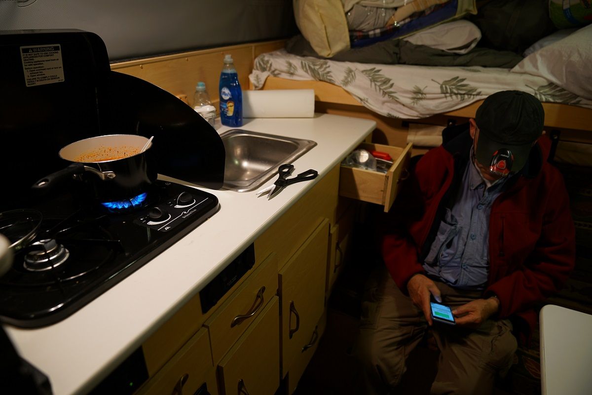
Wow, nice setup! This is definitely way above the average person's single DSLR with a kit lens LOL. But it is a good glimpse into what you actually need to be able to get really good shots on a trip like this, if you dont want to do a ton of post-processing later.

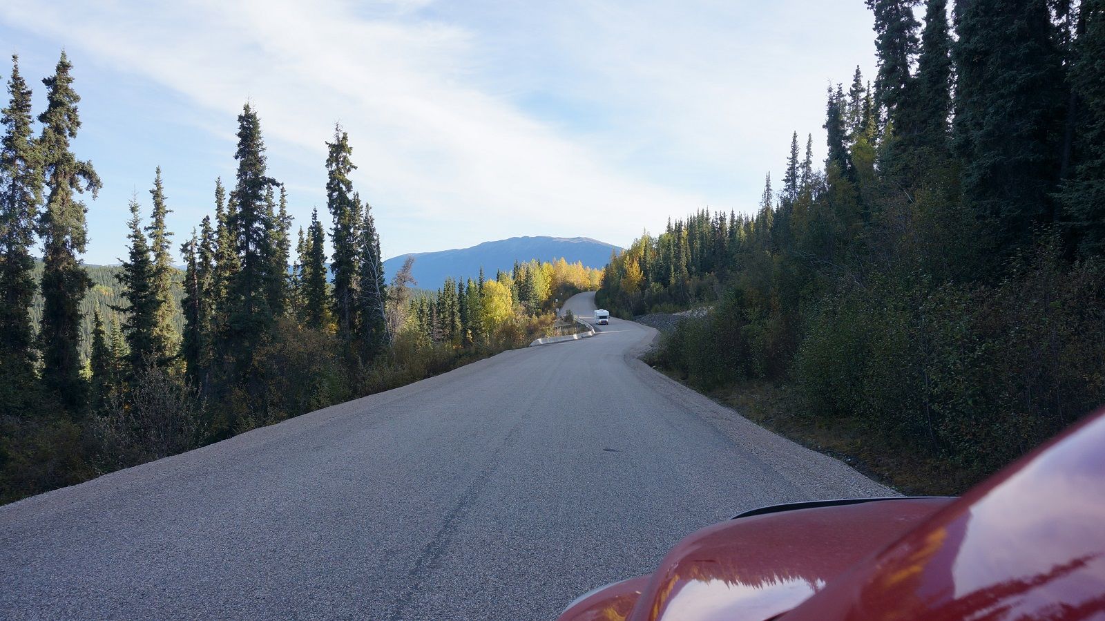
Honestly though, IMO you don't need to spend a bunch to bring back great pics. Here are two of my trips with only the DSC-RX100 (bought on eBay for $450).
http://advrider.com/index.php?threads/two-bobs-heart-of-the-west-forever-west-2014.1021717/
http://advrider.com/index.php?threads/two-bobs-and-friends-northern-rockies-2013.947936/

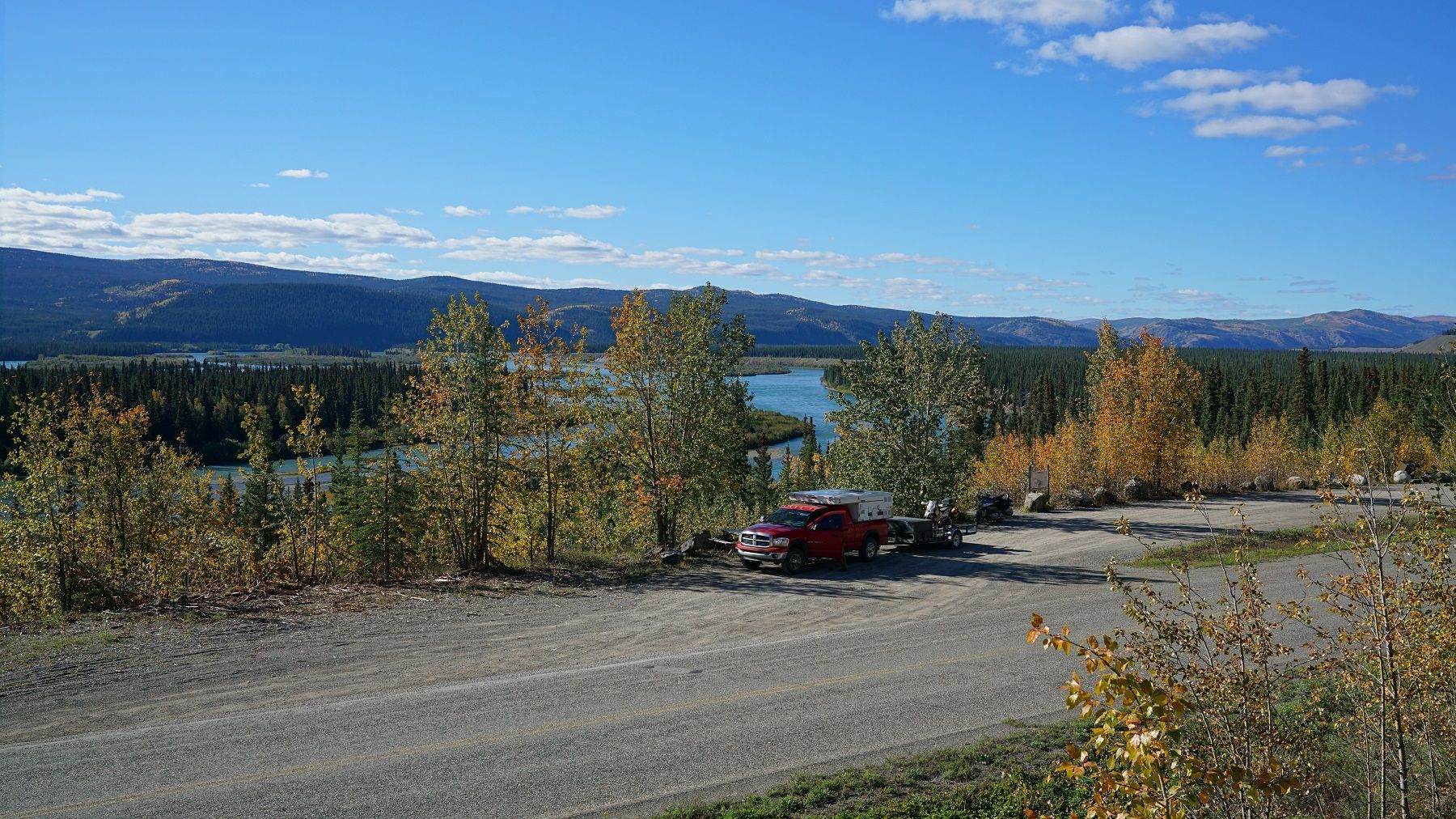
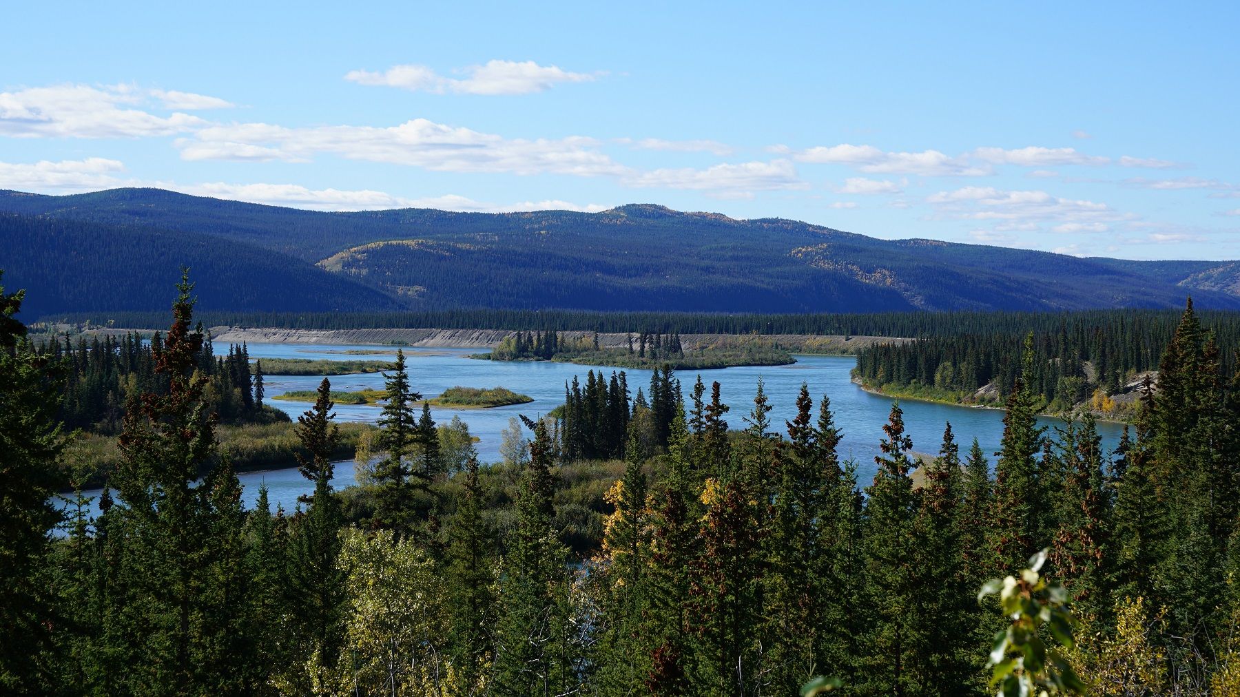
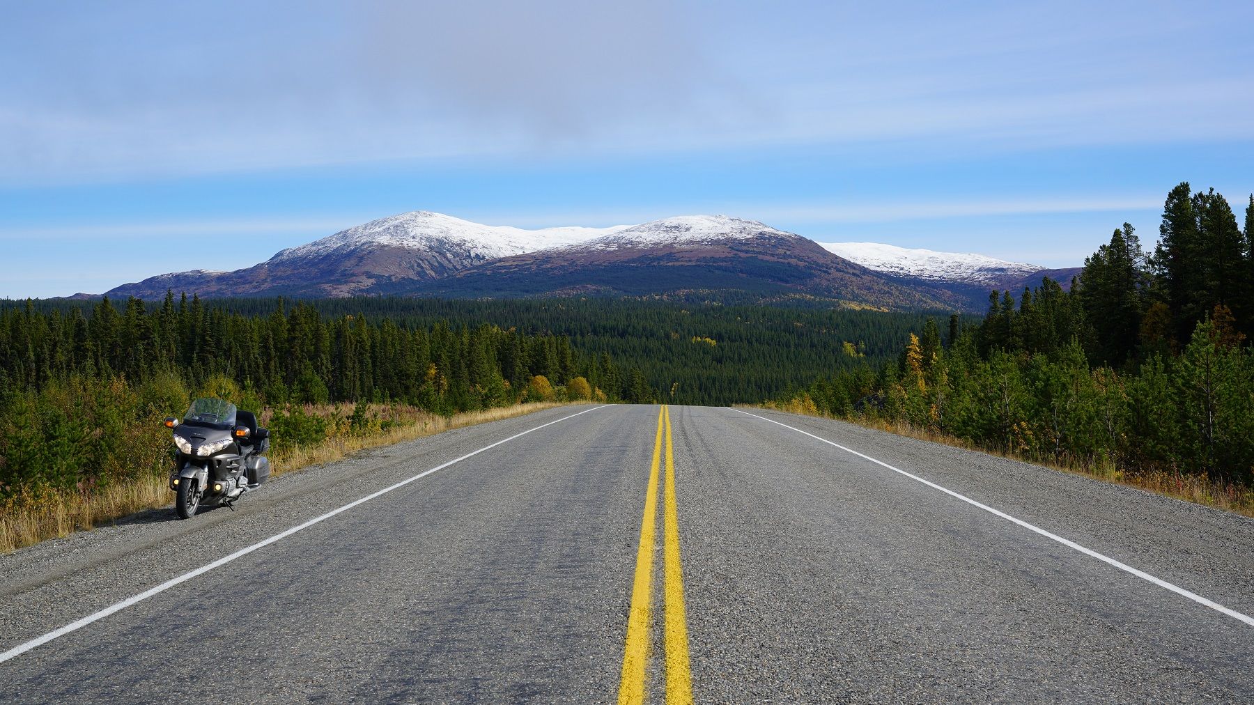
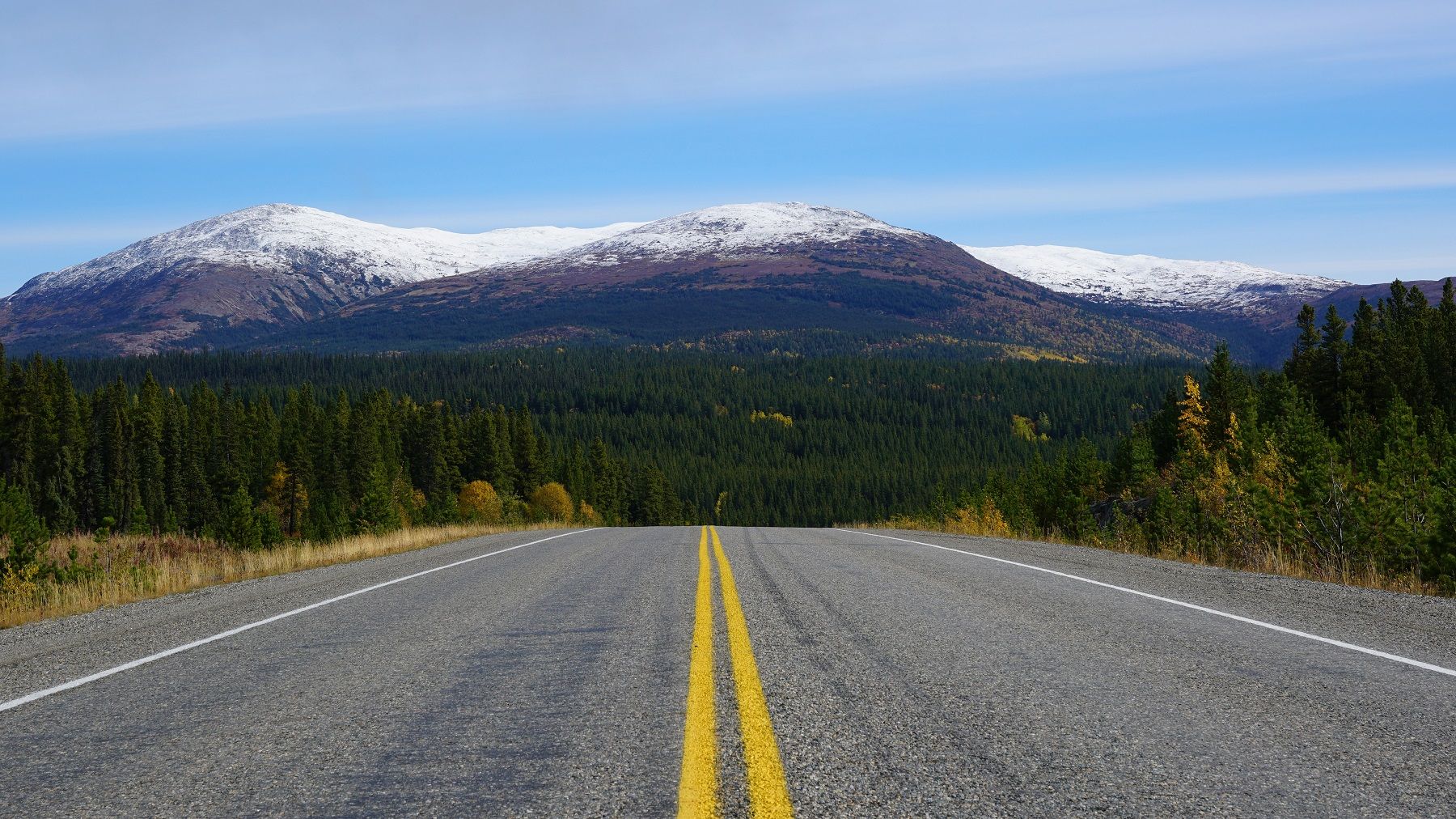
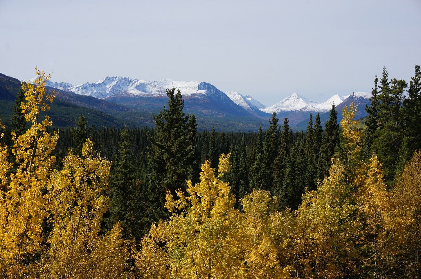
Diminishing returns are an undeniable fact, the camera I shot this trip was over 10 times the cost, you judge if the results are 10x better... Even so, I've never regretted having the best cam I can with me.

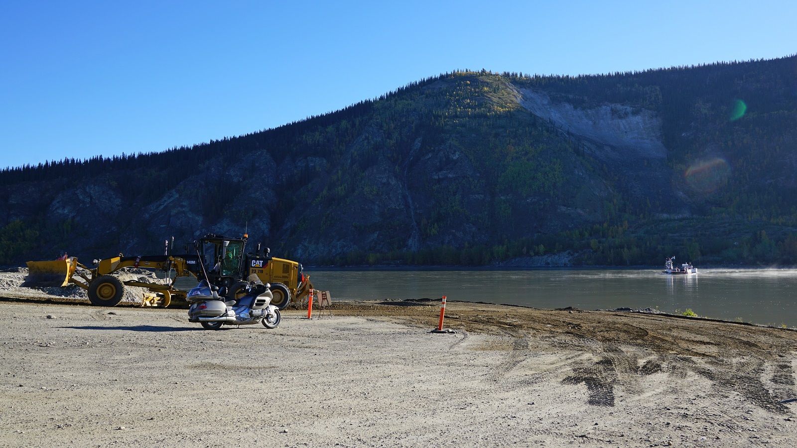
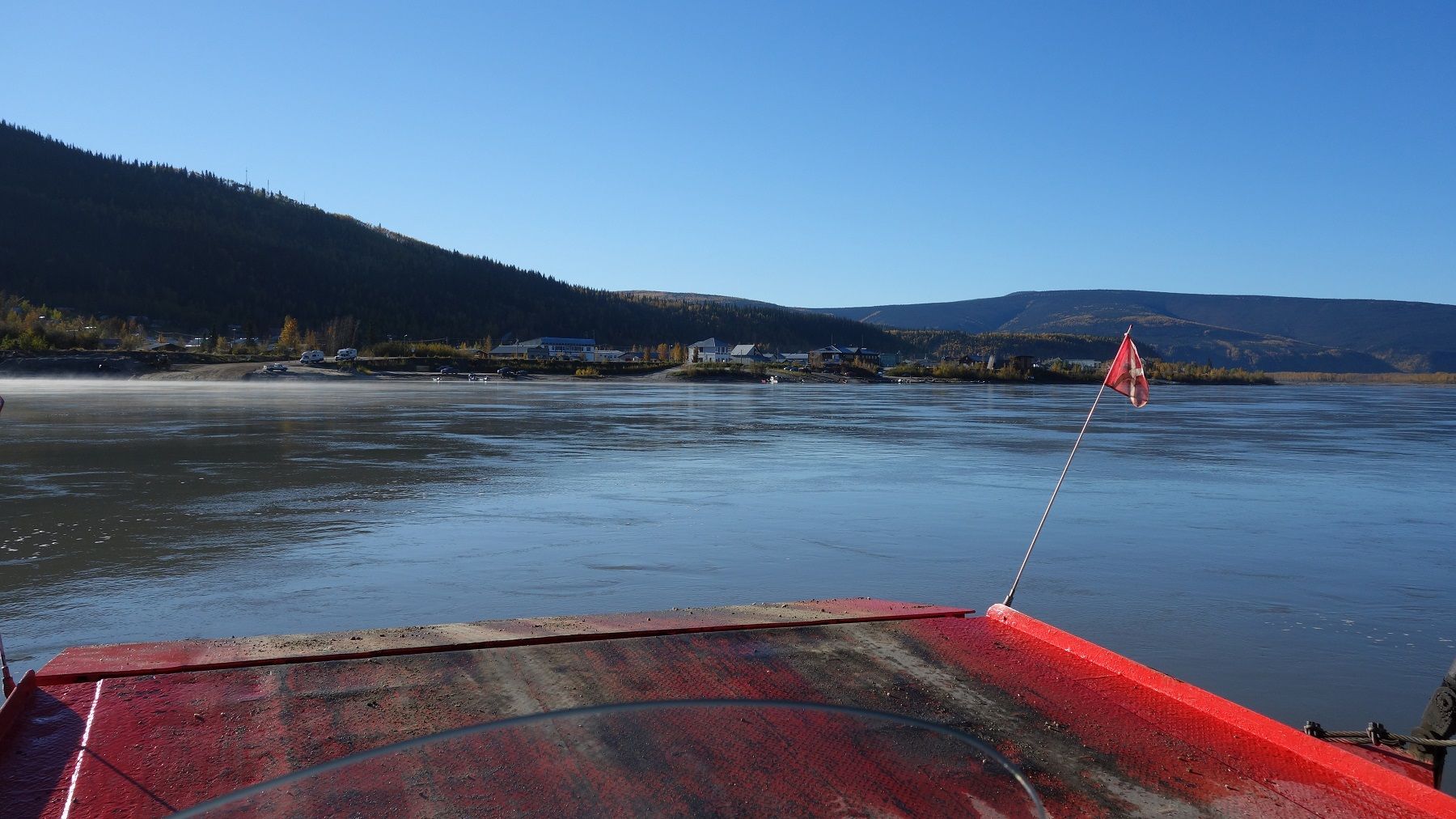
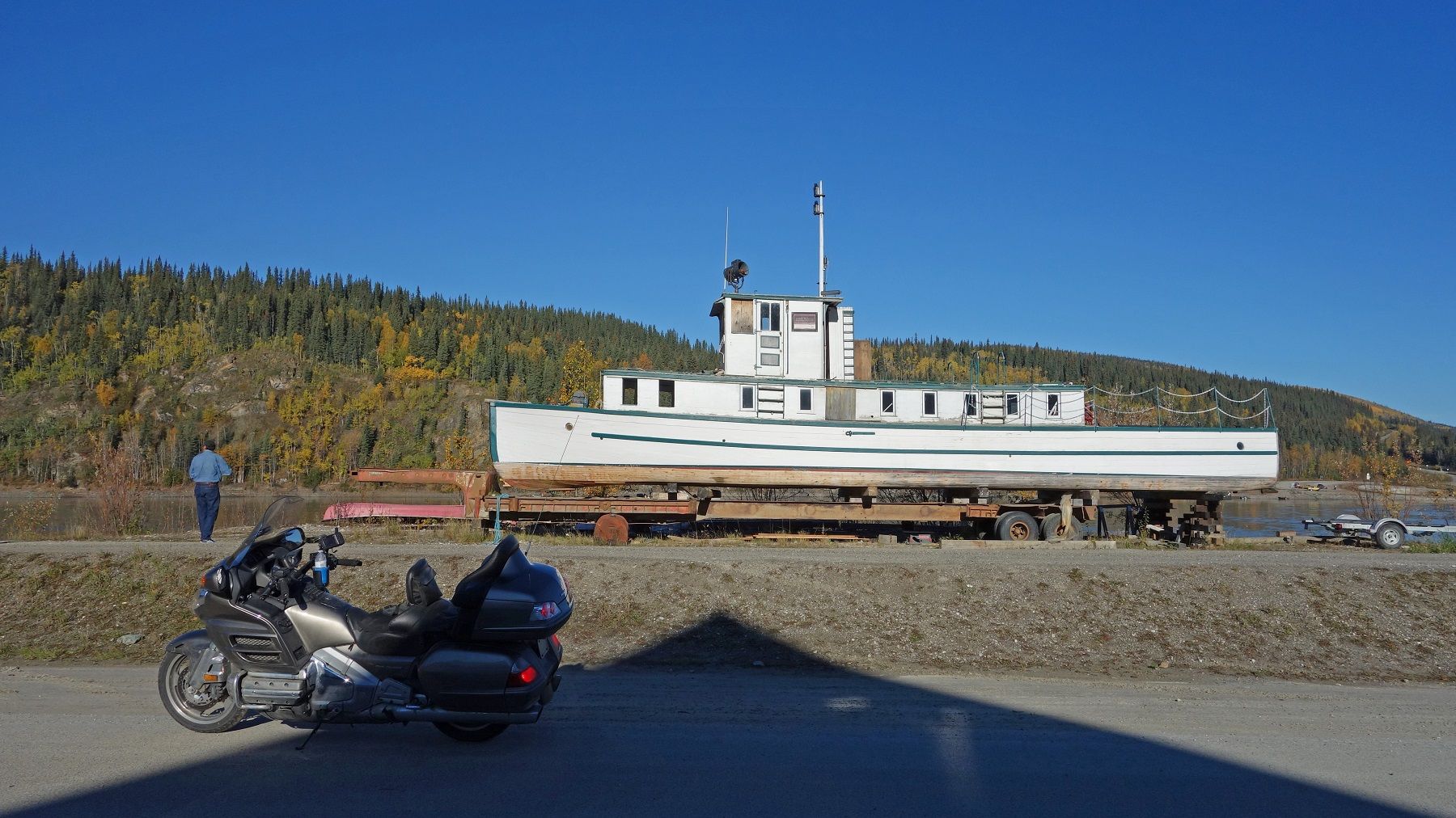
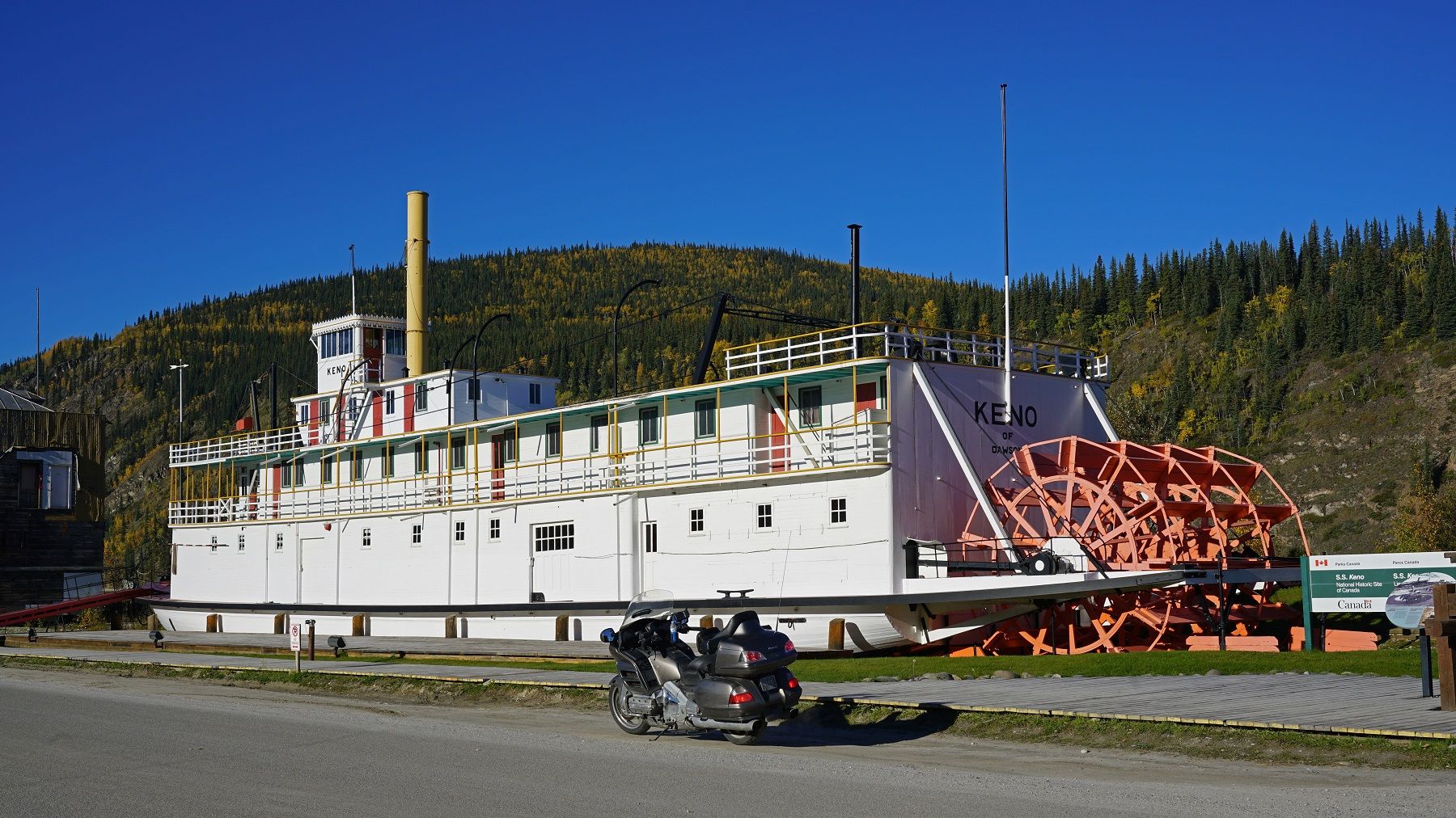
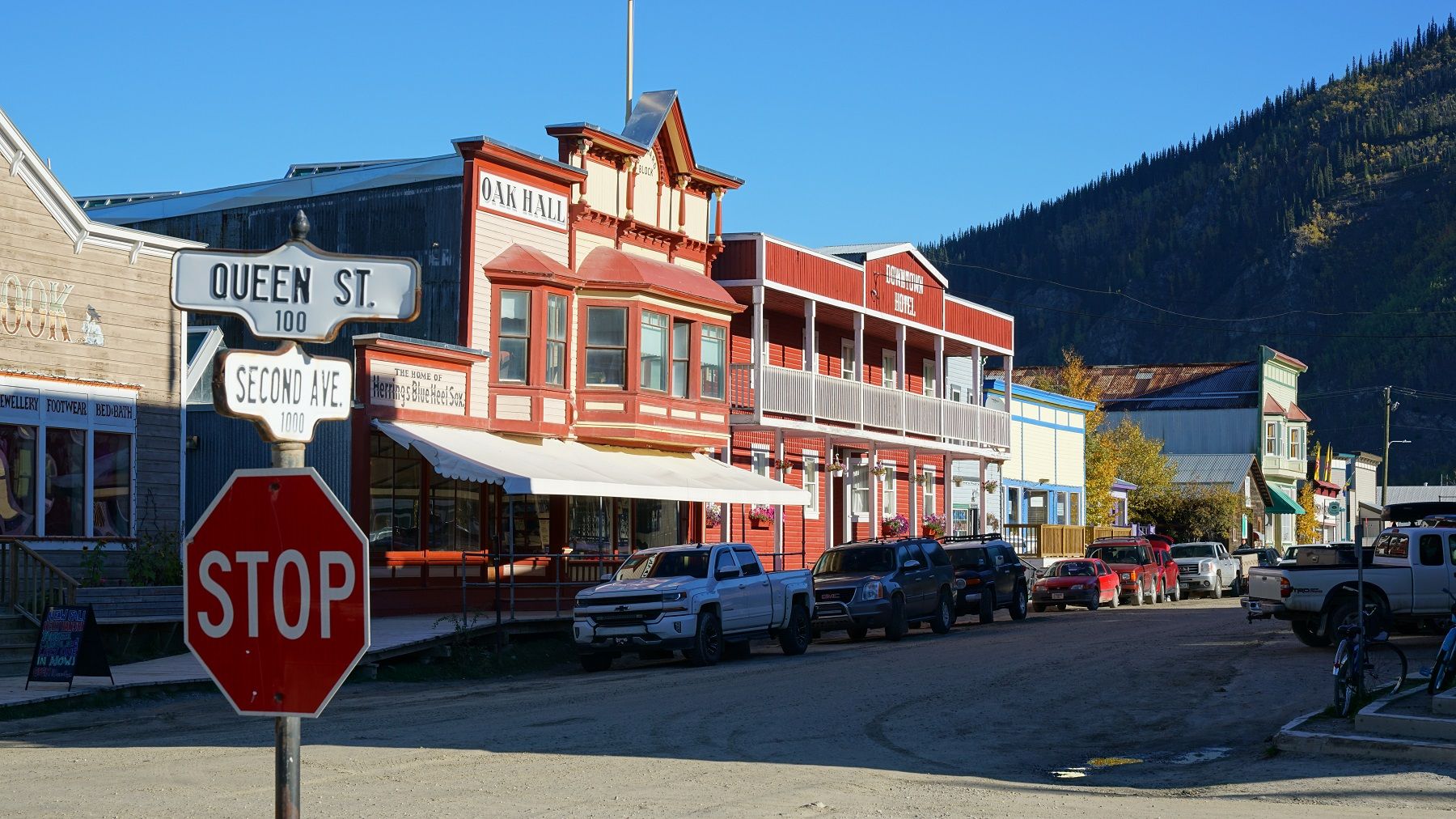
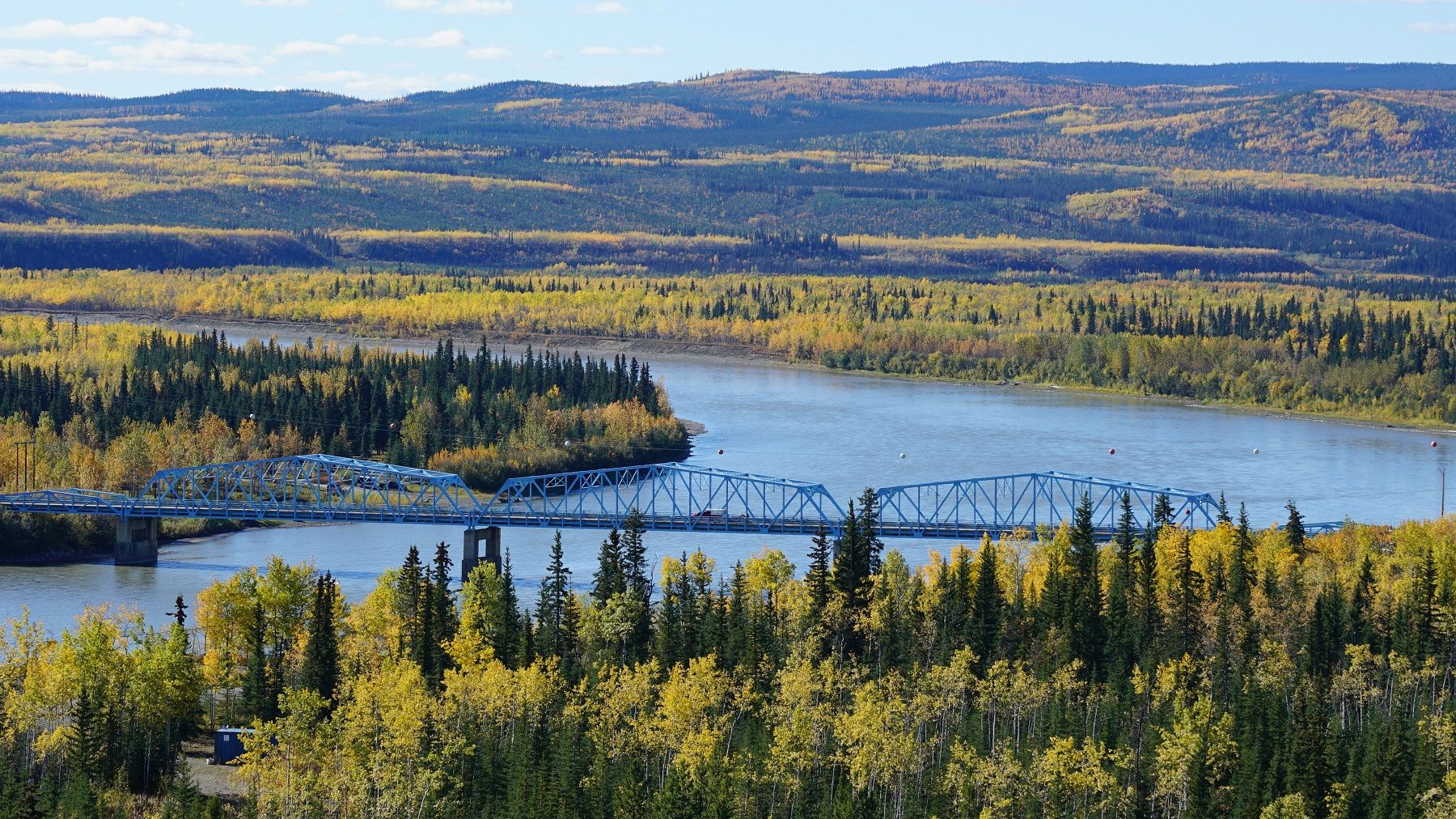
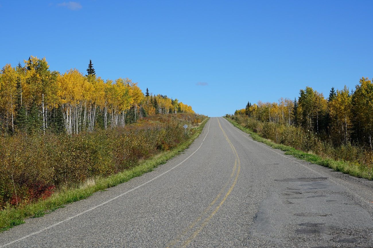
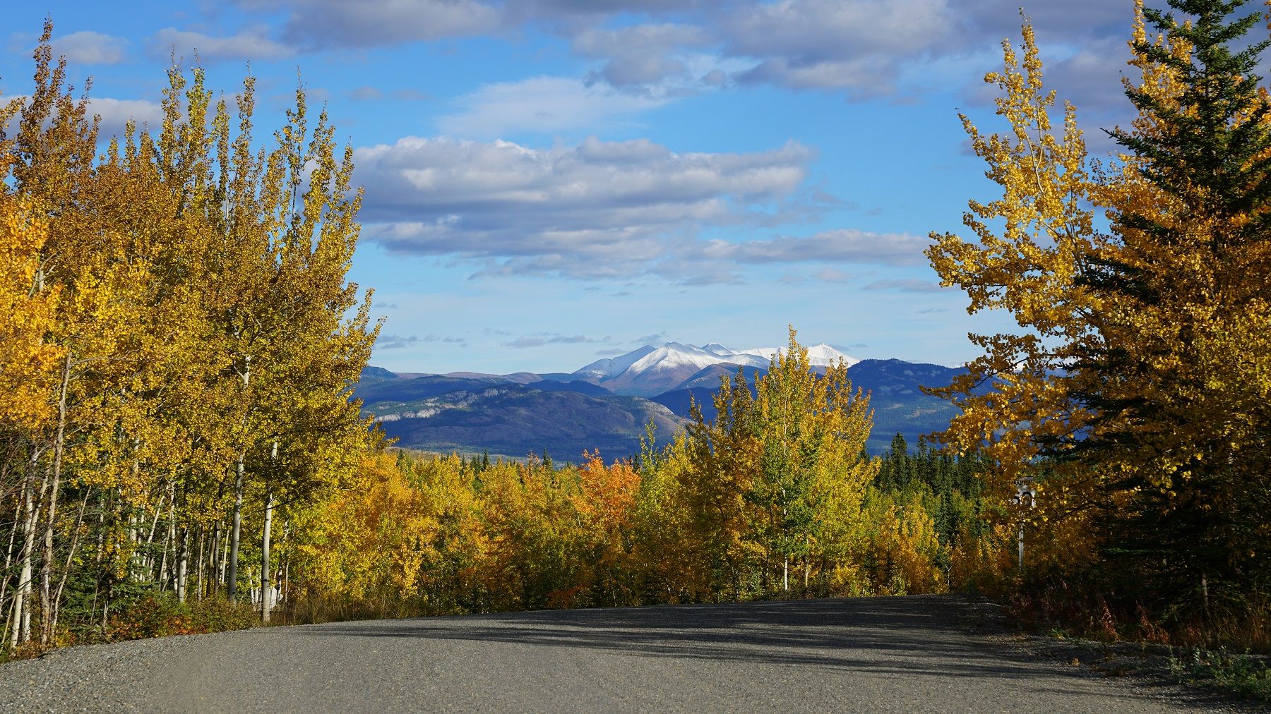
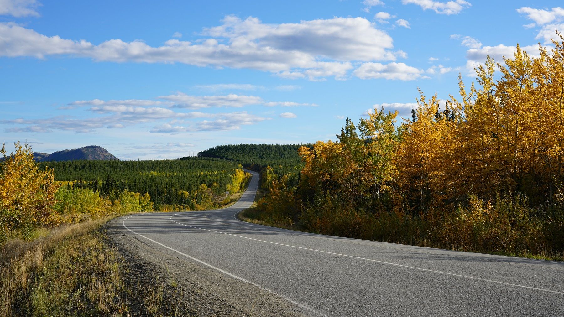
I'm nothing great as a photographer and it's not magic. I just take a lot of pics - keep the sun behind me when possible - keep the horizon level (or level it in Photoshop) - use HDR where appropriate - but mainly, I stop and take pics!!!! Also, I don't care how good camera phones are, they're not cameras :)

.
 
Last edited:

DYNOBOB

Adventurer
I'm going to switch to my SmugMug account for now. Hopefully Photobucket gets it together...

Friday Sept 9. Jack's to Dawson City. 260 miles

i-SqLk2Tm.jpg


Today was my second favorite day of the trip (northbound on Dalton was first). For the last several days I've been watching the forcast for the Top of the World Hwy and today looks like aces. It hadn't occurred to me a couple weeks ago when we skipped TOTW to get to Fairbanks quicker, but today we'll do the road going north with the sun behind us.

Before we take off I get some pics of Jack's famous road warriors. He has a 6gal aux tank that fits either bike and gives 500+ mile range.

i-hdMK4q3.jpg
...
i-cL6hvGm.jpg


i-kZmGKVn.jpg


i-fJNg2dw.jpg


One of the interesting stories Jack told was about how the 2002 Denali Earthquake shifted the Tok Cutoff road 20ft at the fault line. I was keeping an eye out to see if I could spot where it happened.

Per Wiki: The 2002 Denali earthquake occurred at 1:12 PM local time November 3 with an epicenter 66 km ESE of Denali Natl Park. This 7.9 magnitude earthquake was the largest recorded in the interior of the United States for more than 150 years. The shock was the strongest ever recorded in the interior of Alaska. Due to the remote location, there were no fatalities and only a few injuries. Due to the shallow depth, it was felt at least as far away as Seattle and it generated seiches on bodies of water as far away as New Orleans. About 20 houseboats were damaged by a seiche on a lake in Washington State.

Interesting how the pipeline survived... http://www.amusingplanet.com/2014/08/how-trans-alaska-pipeline-survived-2002.html

i-3PvTScc.jpg


i-gZjSLT3.jpg


The Main Event today is the Taylor (TOTW) Hwy.
i-S6g6hQD.jpg


i-7z54qv2.jpg


i-m7wWfMz.jpg


The next 6 hrs were a delight for the eyes!
i-XSPVjBF.jpg


i-xc9KKwS.jpg


i-69fjvbm.jpg


i-Rq9dpVk.jpg


i-L6SfGJJ.jpg


i-kcXxcw4.jpg


i-C6JrHWS.jpg


i-ZrqKdFS.jpg


We pull over in Chicken to make a sandwich and buy the sticker...
i-5S62LHT.jpg


i-24JHVDk.jpg


i-SPJvxGf.jpg


i-bLBgWX9.jpg


i-Cj26cf8.jpg


DSC06892.jpg~original
 
Last edited:

DYNOBOB

Adventurer
Back to that awesome road.
i-tjKsvXx.jpg


i-BtJgxCb.jpg


i-RSBDCnX.jpg


It's interesting, the TOTW seems to be about 50/50 gravel/pavement. It goes from pavement to gravel and back to awesome brand new pavement the last several miles to the border. On the Canadian side it returns to gravel until Dawson City. Even the gravel is not bad, in places I could run 60mph on the Wing.
i-8TfB6HW.jpg


i-bwvncwn.jpg


i-GP23W2B.jpg


i-f2ztkm6.jpg


i-fHGc4T9.jpg


i-6h6ZW5n.jpg


i-7rQHFPf.jpg


Bye bye Alaska...
i-44rjsjz.jpg


i-jbdmXrR.jpg


i-TQw9QKH.jpg


i-LpZ5N66.jpg


i-hw9ZMzL.jpg


Dad way in the distance
i-8gSRwDn.jpg


i-Dqv5zmV.jpg


i-xBxMwKV.jpg


i-g39kQLx.jpg
 

DYNOBOB

Adventurer
Your camping options at Dawson City are the Yukon River Campground (primitive, pit toilets only) on the edge of the river opposite town or a traditional commercial place in town. We opt for the YRC and will take the ferry to town tomorrow. This turns out to be a very good call.

i-RtgFwXk.jpg


i-pfPb5gF.jpg


View of Dawson City across the river.
i-RWfGXBB.jpg


We had the 100+ site facility almost to ourselves so I got my second outdoor shower of the trip. It was a chilly 42degs out!
i-LznWPG6.jpg


Made some sloppy joes and watched a movie until 11:30.
i-GFmptKx.jpg


We've found out after the fact that we missed several opportunities to see the aurora borealis the last two weeks. With the trip winding down I figured I better stick my head out and see what I could see.

Jackpot! I grabbed the 16-35 lens and tripod and spent 30 minutes on the edge of the Yukon River freezing my butt off (it was 32F when I got back in the camper). If we'd stayed in town the shots would have been ruined with light pollution.

i-DjnkpwH.jpg


i-v547KLn.jpg


i-H3pqDKw.jpg


i-j9hDLJF.jpg


What a day for pictures this has been!

.
 

SmoothLC

Explorer
Simply spectacular. These last few photos were taken near where one of my good friend's grew up. I'll have to share them. Thanks for a great TR.
 

akpostal

Adventurer
Ive lived in AK my whole life, 42 years so far. I have never been north of Fairbanks. Ive been to most other places youve listed, but youve been to some I havent. Kennicot mine had a cable trolley when I was there, no foot bridge.

Awesome trip report and pictures. To bad you missed Hatchers Pass and Independence Mine.

ETA: Did you get the story of how Chicken got its name?
 

DYNOBOB

Adventurer
Ive lived in AK my whole life, 42 years so far. I have never been north of Fairbanks. Ive been to most other places youve listed, but youve been to some I havent. Kennicot mine had a cable trolley when I was there, no foot bridge.

Awesome trip report and pictures. To bad you missed Hatchers Pass and Independence Mine.

ETA: Did you get the story of how Chicken got its name?

Yep, I had every intention of doing Hatcher - had to leave some reasons to come back though :)

Don't know the Chicken story?

.
 

DYNOBOB

Adventurer
Saturday Sept 10. Dawson City to Teslin. 440 miles.

Daw%20Teslin.jpg~original


Today it sinks in that we're starting for home. Our easy 200 mile days are over, we have to average 470 miles/day for the next 9 days to get home on time. Alaska is a long way from Ohio...

Thankfully, we awake to another beautiful (but chilly) morning. This is only time we saw 20's on the trip (we've just left the AK time zone so it's actually 8:12 Yukon/7:12 AK).

DSC09188.jpg~original


DSC09194.jpg~original


Our day begins with the free ferry to Dawson City, some sightseeing, and fueling up.

DSC09195a.jpg~original


DSC09196.jpg~original


DSC09197.jpg~original


DSC09198aa.jpg~original


DSC09200aa.jpg~original


DSC09201a.jpg~original


DSC09202.jpg~original


DSC09211.jpg~original


DSC09212.jpg~original


DSC09215a.jpg~original


DSC09219.jpg~original


Home of the famous "Sourtoe Cocktail". Worth a read... http://www.atlasobscura.com/places/sourtoe-cocktail
DSC09223.jpg~original


DSC06923.jpg~original


Yes, Dawson City is a bit of a tourist trap...
DSC06924.jpg~original
 

DYNOBOB

Adventurer
With the sightseeing out of the way we need to put the hammer down and cover some miles. The Klondike Hwy from Dawson City to Whitehorse is a nicely paved, but relatively unremarkable road. Not a ton of pics today.

The first place we pulled over was the Pelly Crossing overlook.
DSC09229.jpg~original


DSC09230a.jpg~original


DSC09227aa.jpg~original


Dad on the bridge.
DSC09225a.jpg~original


DSC09233.jpg~original


We stop for lunch along the Yukon River near Carmacks.
DSC09244a.jpg~original


DSC09235a.jpg~original


DSC09237.jpg~original


At our fuel stop I spot this cool old Jeep.
DSC09257a.jpg~original


DSC09253a.jpg~original


DSC09247.jpg~original


The views improve just before you rejoin the Alaska Highway at Whitehorse.
DSC09271a_1.jpg~original


DSC09272a_1.jpg~original


We hit the Walmart in Whitehorse to resupply and the sun is setting as we exit town.
DSC09275aa.jpg~original


We've cover 340 miles so far but I know we need to get some more ground behind us. Teslin is another 100 miles but that's where we need to be tonight. The temptation is to put the hammer down and you have to remind yourself to slow down, there are big critters crossing the road up here.

Our day begins at the Yukon River Campground and ends at the Yukon River Motel. It's after 9pm when we arrive. By the time we setup, make dinner, and shower (been 4 full days for Dad), it's time to hit the sack.

OK, you need to put the internet down Dad - you're going to melt that plastic spoon... (it's like traveling with a teenager)
DSC09284.jpg~original


.
 
Last edited:

Presto88

Adventurer
Wow. Great report! I know it's been said already but, seriously, you did a great job with the pictures!

I did my "dream Alaska motorcycle ride" almost exactly 5 years before you....August/September 2011. I only took the haul road as far as the Arctic circle though. I was riding alone on a big GS and just didn't feel comfortable with the idea of being THAT far out there. I had never dropped that bike before and I wasn't completely sure that I would be able to pick it up if I did. When I got back to Fairbanks I felt just like you did - "it's all downhill from here", when in reality I was still a LONG way from home!

Thanks for sharing this with us.
 

DYNOBOB

Adventurer
Thanks Presto,

You know, I was less nervous about taking the bike up to Prudhoe than I was the truck. I felt that I could prob get assistance from a passing pickup in getting a dead bike to town, whereas I knew we were on our own with a dead truck.

I think part of the enchantment of travel is those "it's all downhill from here" feelings/moments that are hard to get any other way?

.
 

DYNOBOB

Adventurer
Sunday Sept 11. Teslin to Bell 2, Cassier Hwy. 445 miles.

Yuk%20Bell.jpg~original


I've debated since the planning stage whether we'd take the Cassiar Hwy to get home or stay with the Al-Can. We've decided to add Hyder/Stewart to our "checked off" list so the Cassiar it is. We'll take Rt 37 south and eventually head east to Jasper so we get a second chance at the Icefields Pkwy.

This is the second time we've camped at the Yukon River Motel this trip. It broke the 900 miles from Dawson City to Bell 2 Lodge into two equal days so it made sense.

DSC00971.jpg~original


DSC07149.jpg~original


Foggy in places as we get rolling this morning. Our first 150 miles are on the Alaska Hwy to reach the intersection with the Cassiar.
DSC06929.jpg~original


DSC09290a.jpg~original


DSC06932aa_1.jpg~original


DSC09292a.jpg~original


DSC09302aa.jpg~original


DSC09305.jpg~original


DSC09307aa.jpg~original


DSC06934.jpg~original


You'll definitely want to fuel up at the intersection of the Al-Can and Cassiar. For a moment, I second guessed my decision to use the Cassiar when a couple pulled into the gas station in a late model Tundra pulling a camper. They went on and on about what a terrible road it was, no towns, closed gas stations, no nothing on that road. Had to use their extra fuel, they would never travel it again! They split their time between a home in Alaska and Arizona and seemed like seasoned travelers so it gave me pause. However in all my ride report research I couldn't remember anyone offering a similar opinion, and the truck has ~500 mile range so knew we could make Bell 2 (300 miles) even if I had to put the bike on the trailer. As it turns out, it's around 150 miles between fuel stops so I'm not sure what they were going on about...?

I will say this, the Al-Can and Cassiar are very different roads. The Al-Can feels like a modern, engineered road, with wide berms and clear cuts on either side. The Cassiar (especially northern section) feels like a wilderness road. The couple was right about one thing, there is not much human activity along the road for the 150 miles to Dease Lake.

DSC06936.jpg~original


We pull over at Beaver Dam/Boya Lake for sandwiches and a rest break.
DSC09316.jpg~original


DSC09315.jpg~original


DSC09314.jpg~original
 
Last edited:

Forum statistics

Threads
186,078
Messages
2,881,740
Members
225,874
Latest member
Mitch Bears
Top