Two Bob's Ohio to Prudhoe 2016 - Ram/Hawk, Husky, and Wing.

DYNOBOB

Adventurer
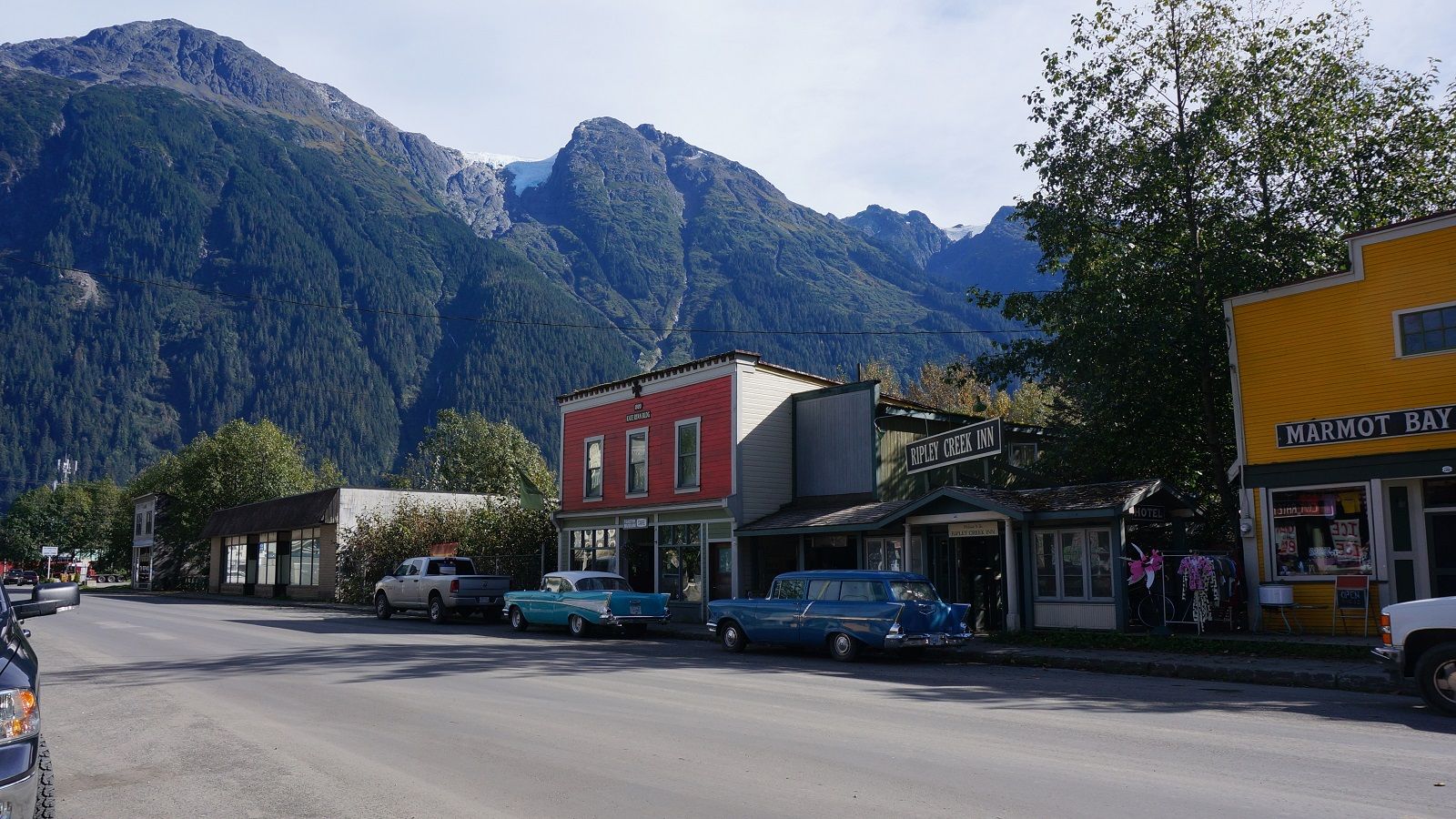
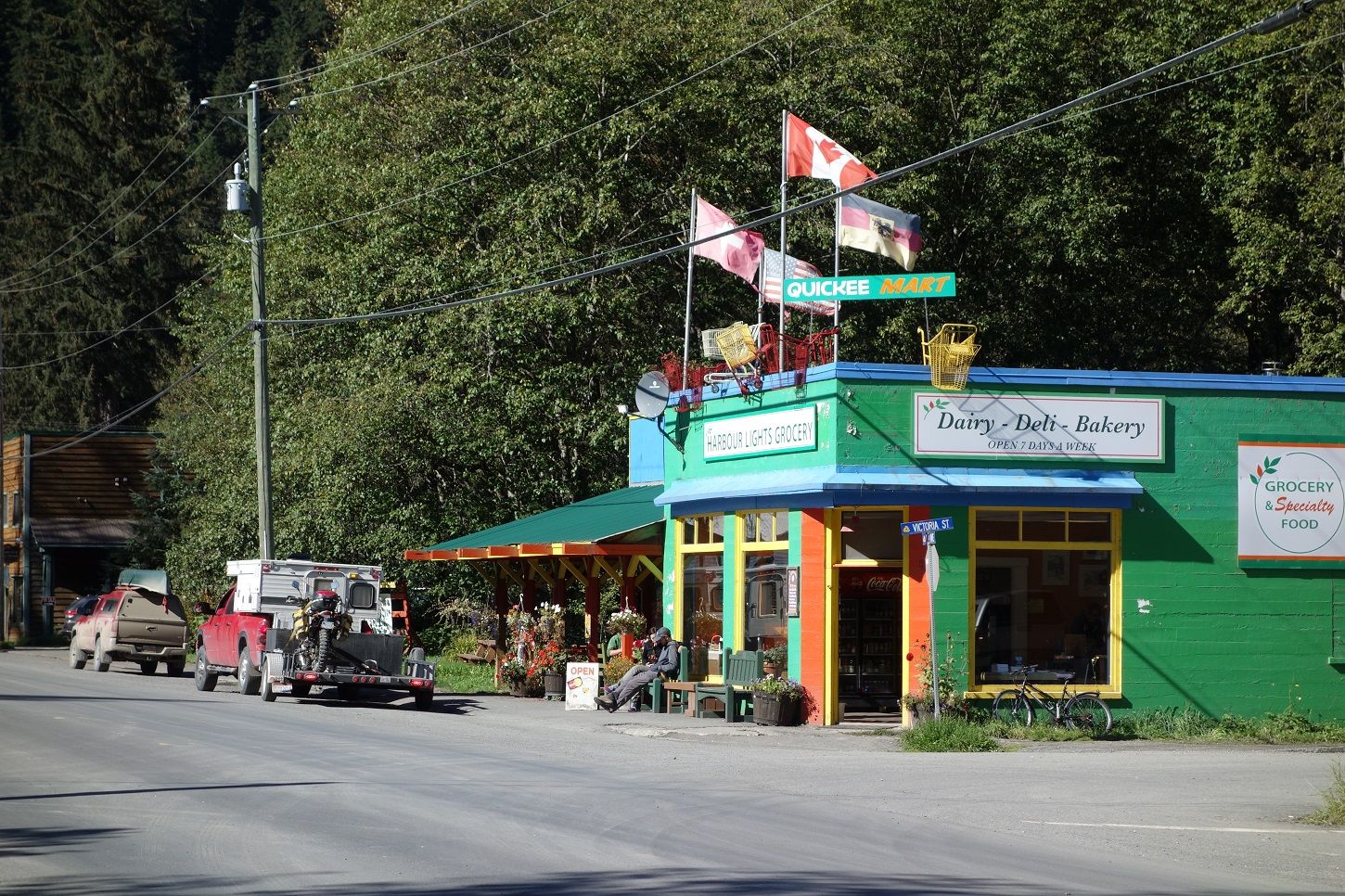
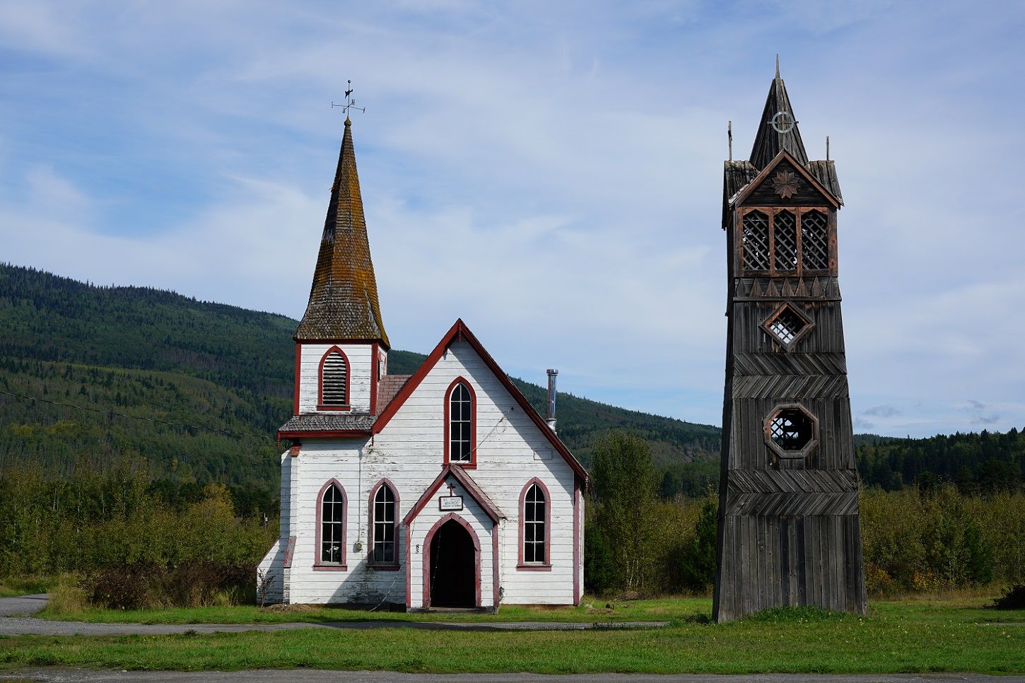
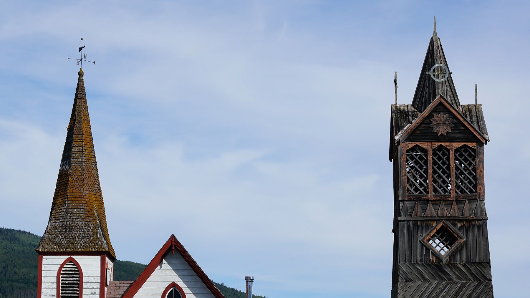
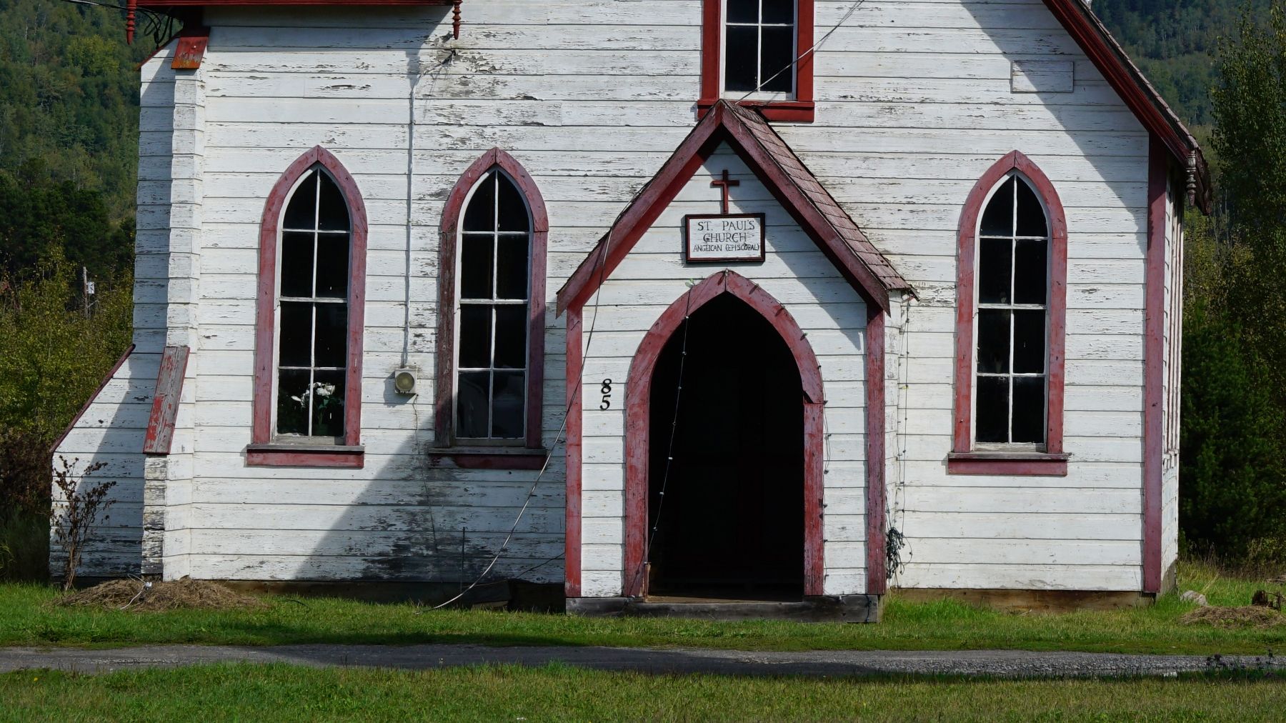
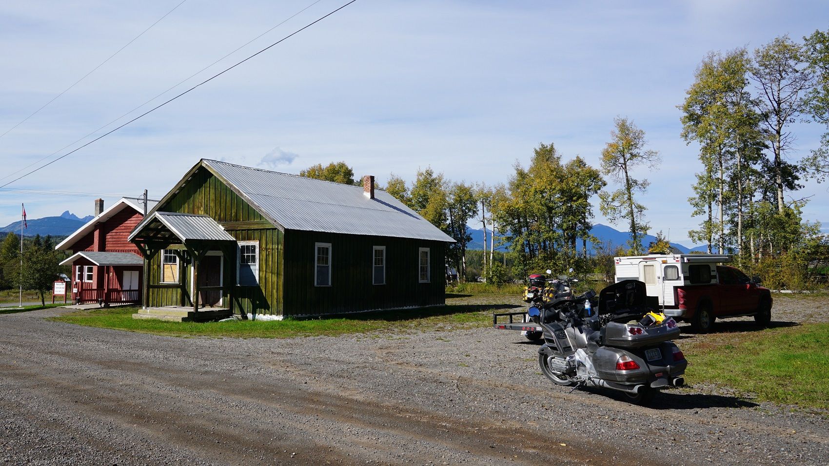
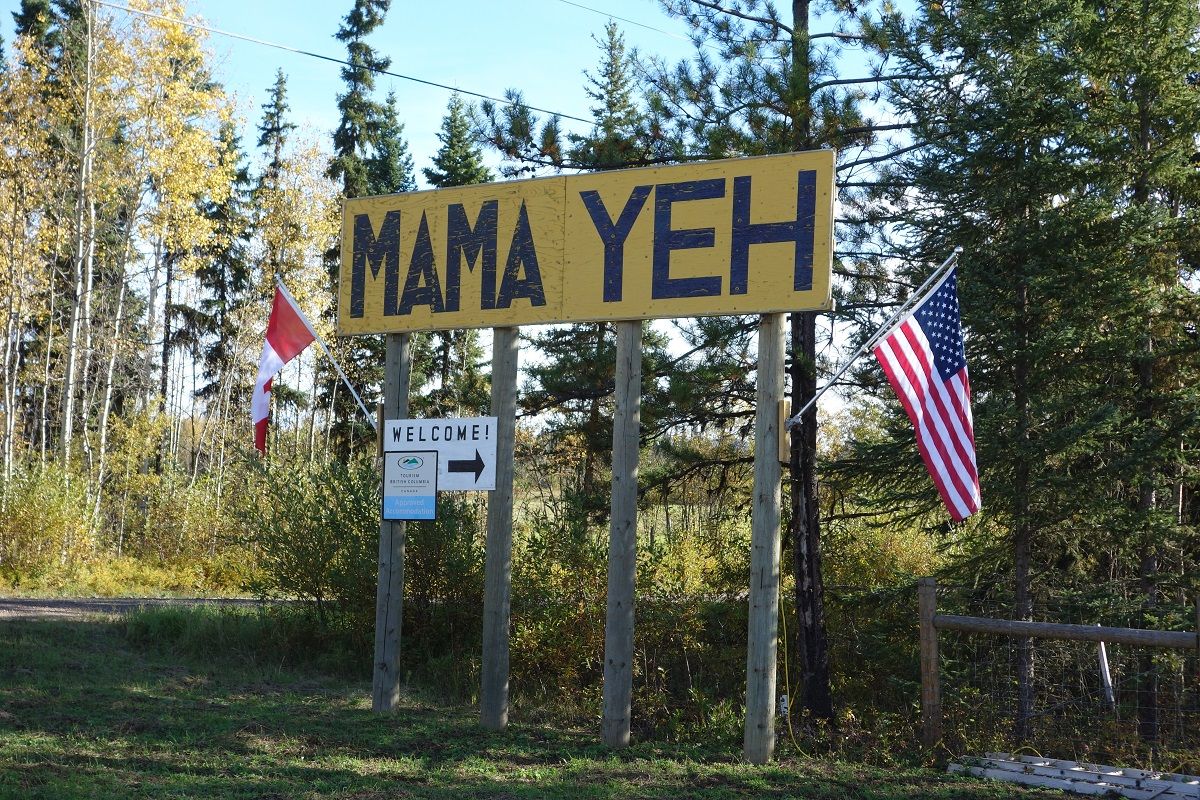
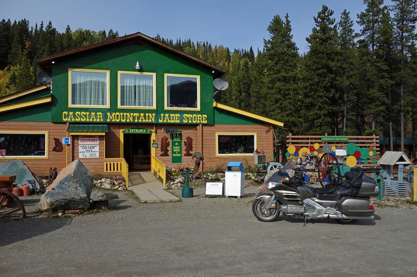
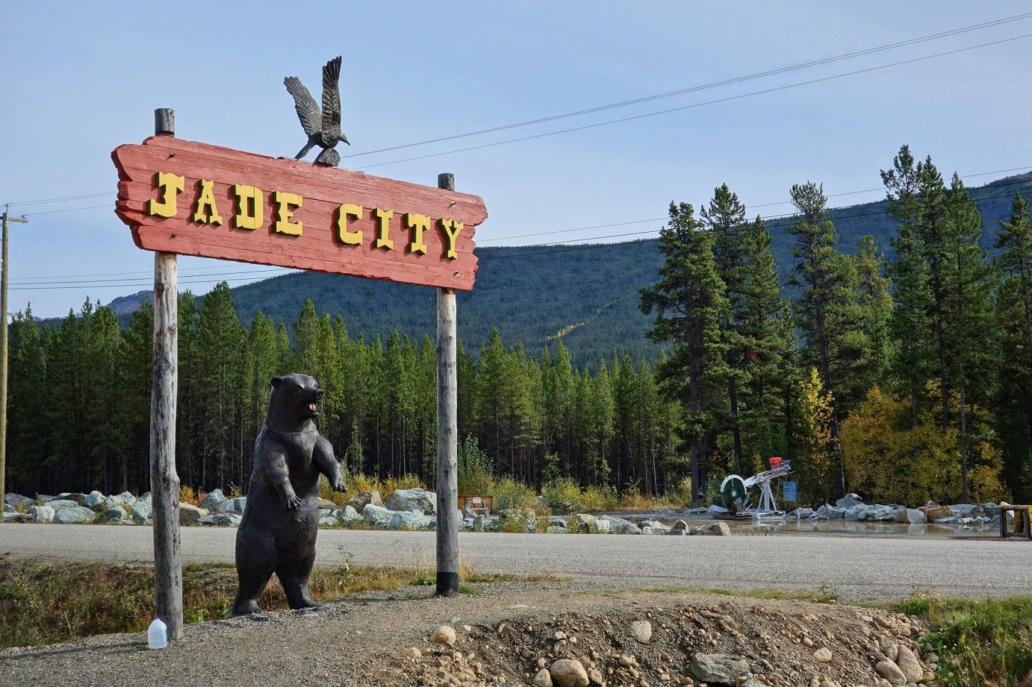
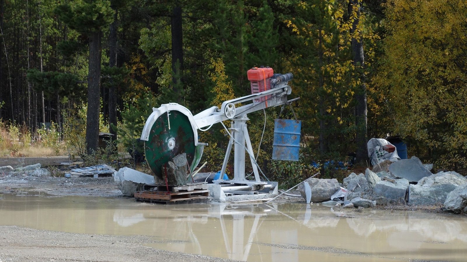
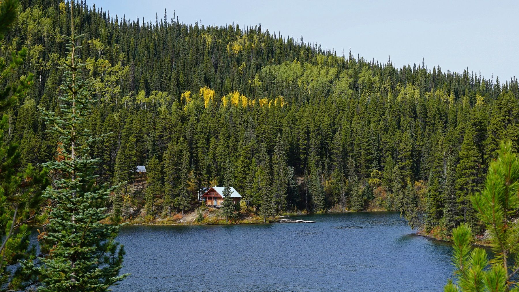
A little farther south is a tourist trap in the middle of nowhere. Apparently they film a tv show here.
DSC09211_1.jpg~original


DSC09206.jpg~original


DSC09207a.jpg~original


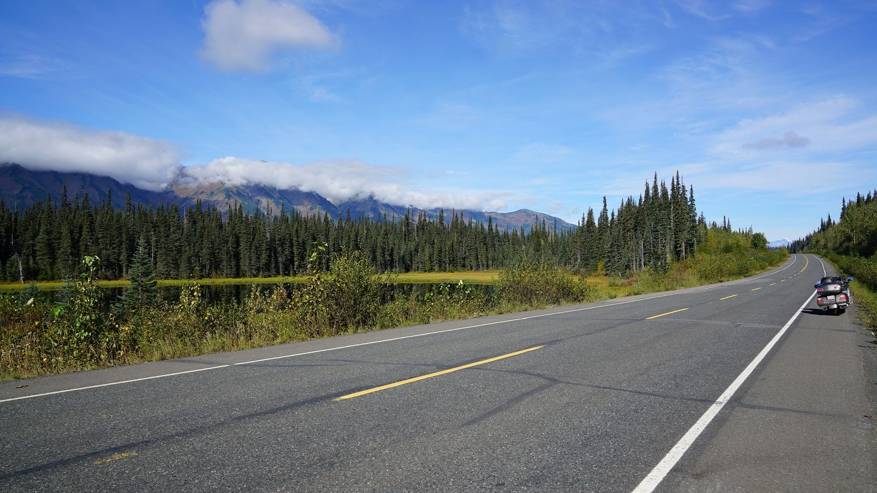
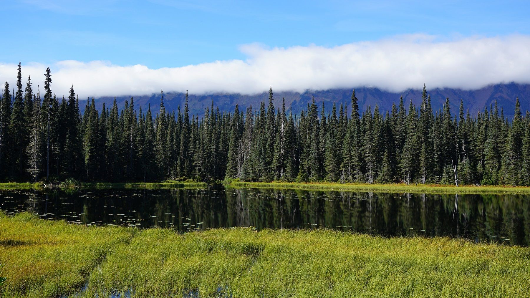
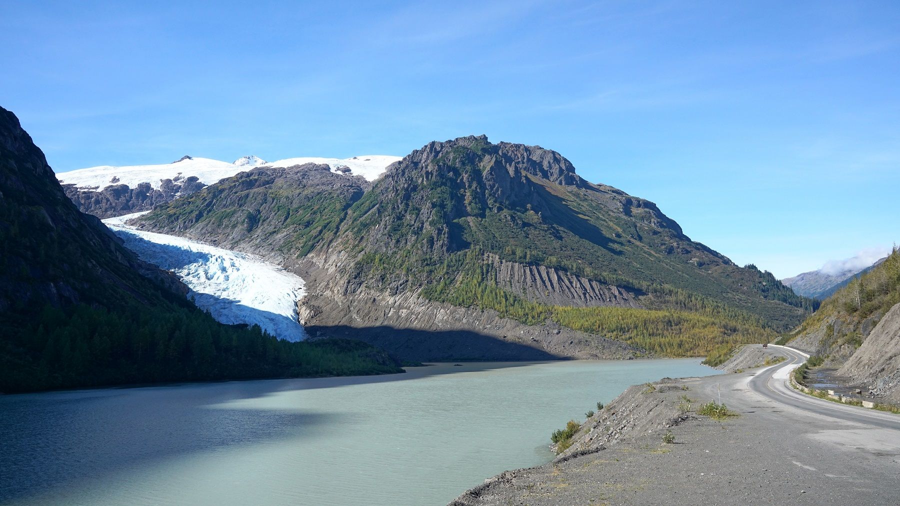
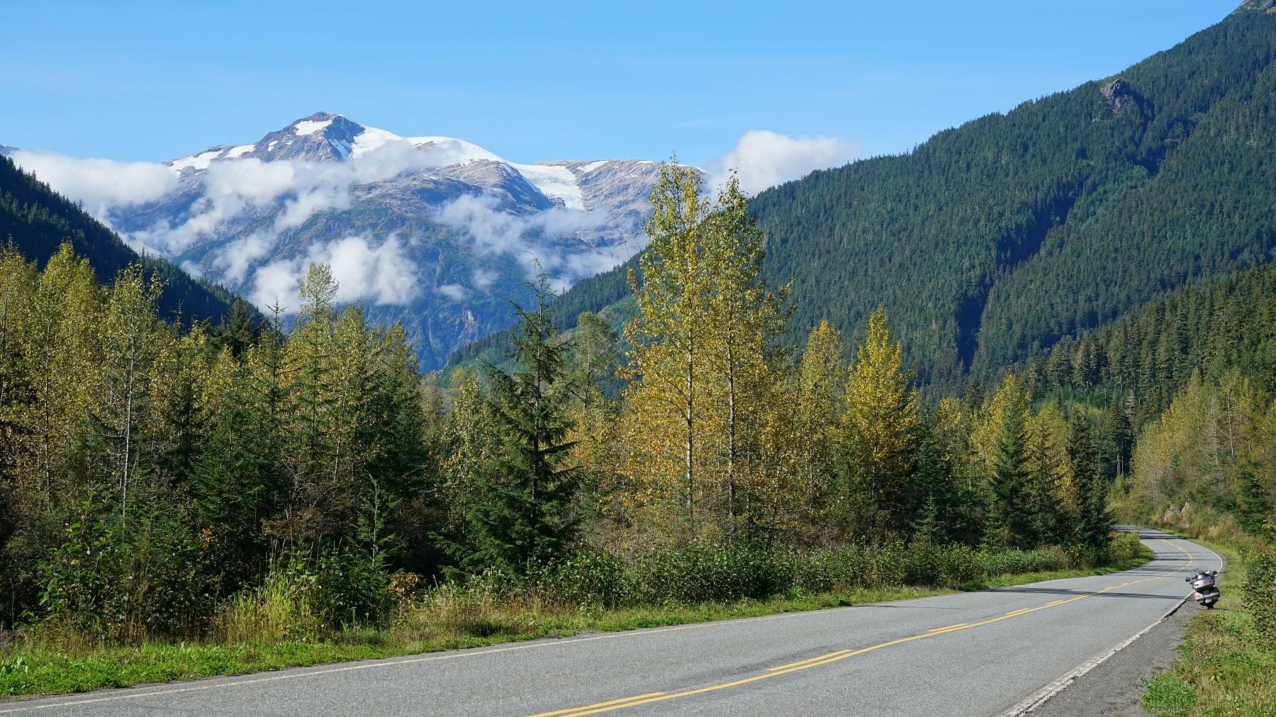
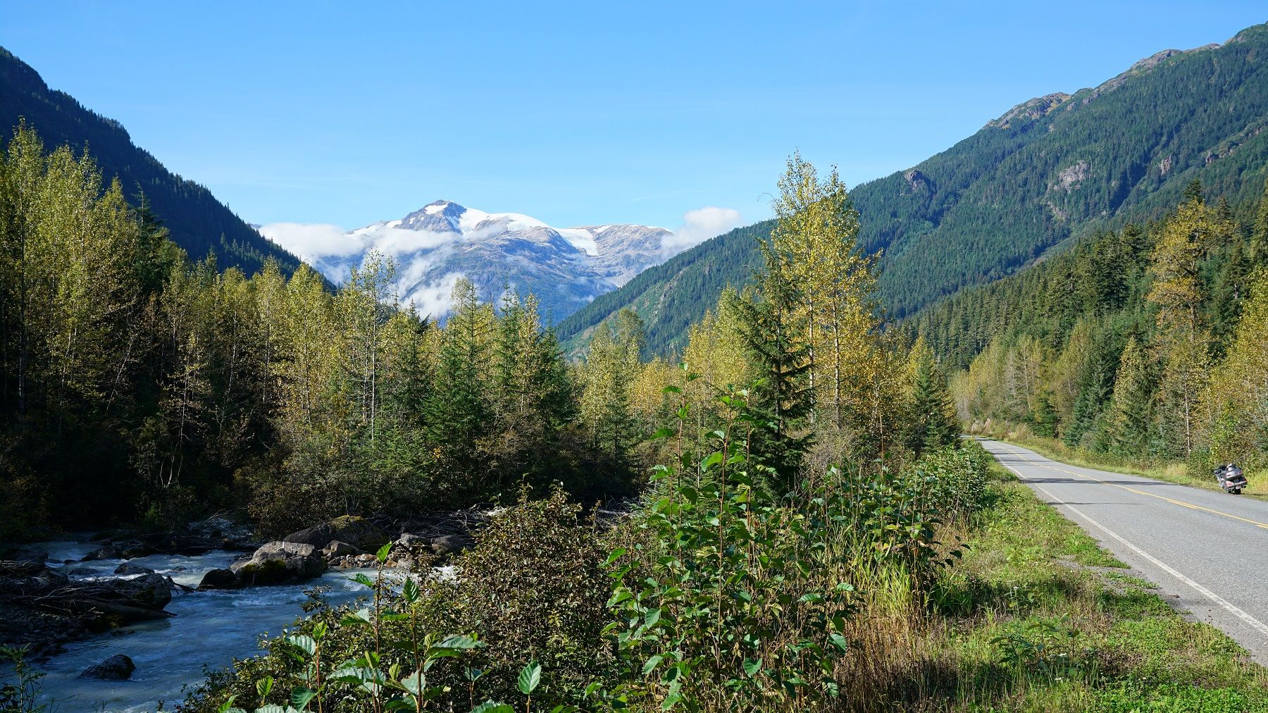
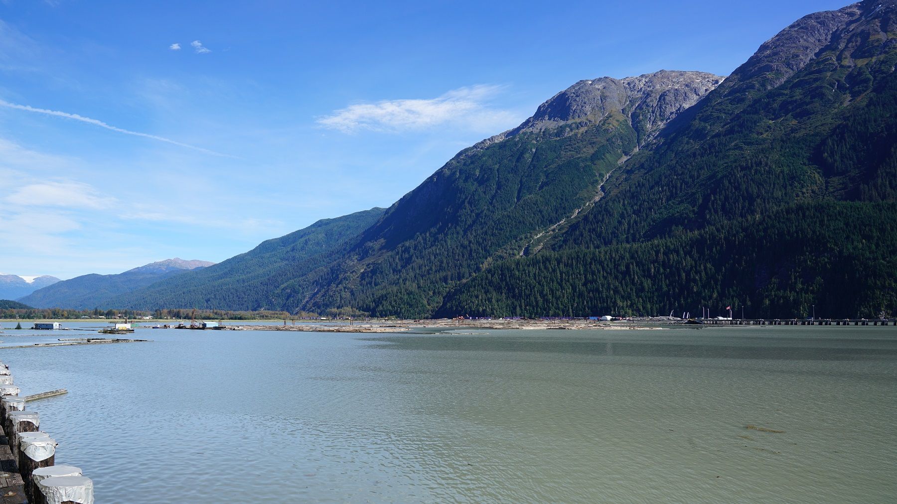
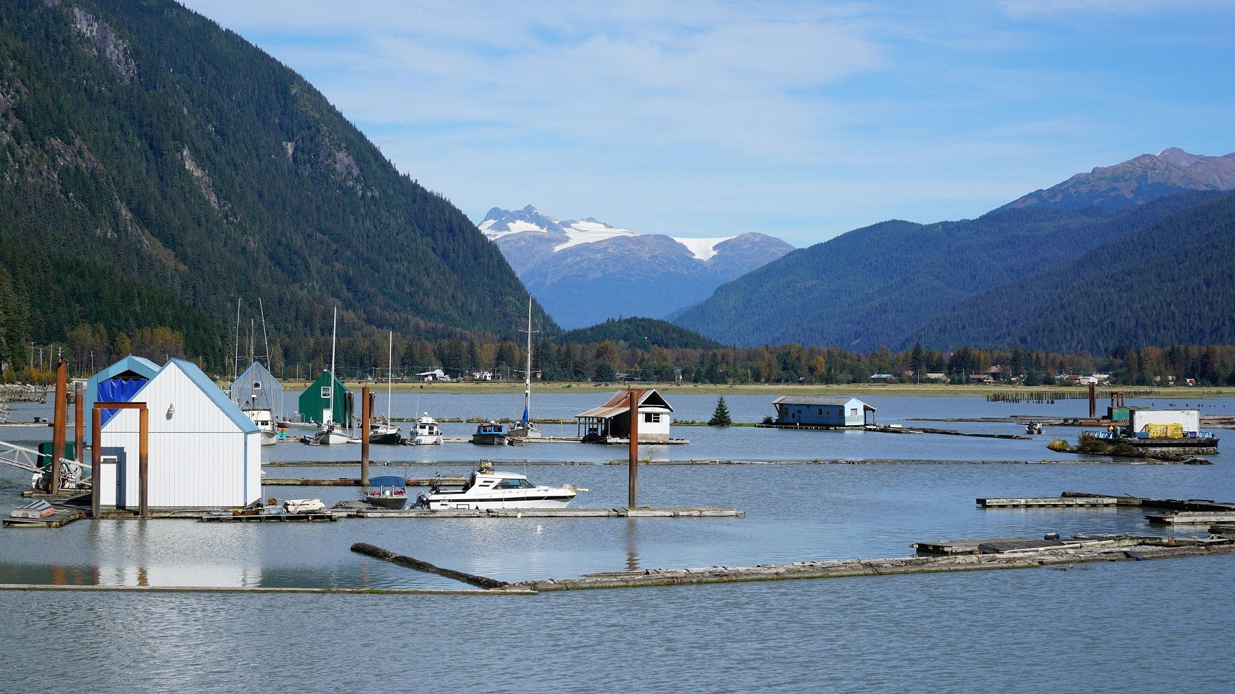
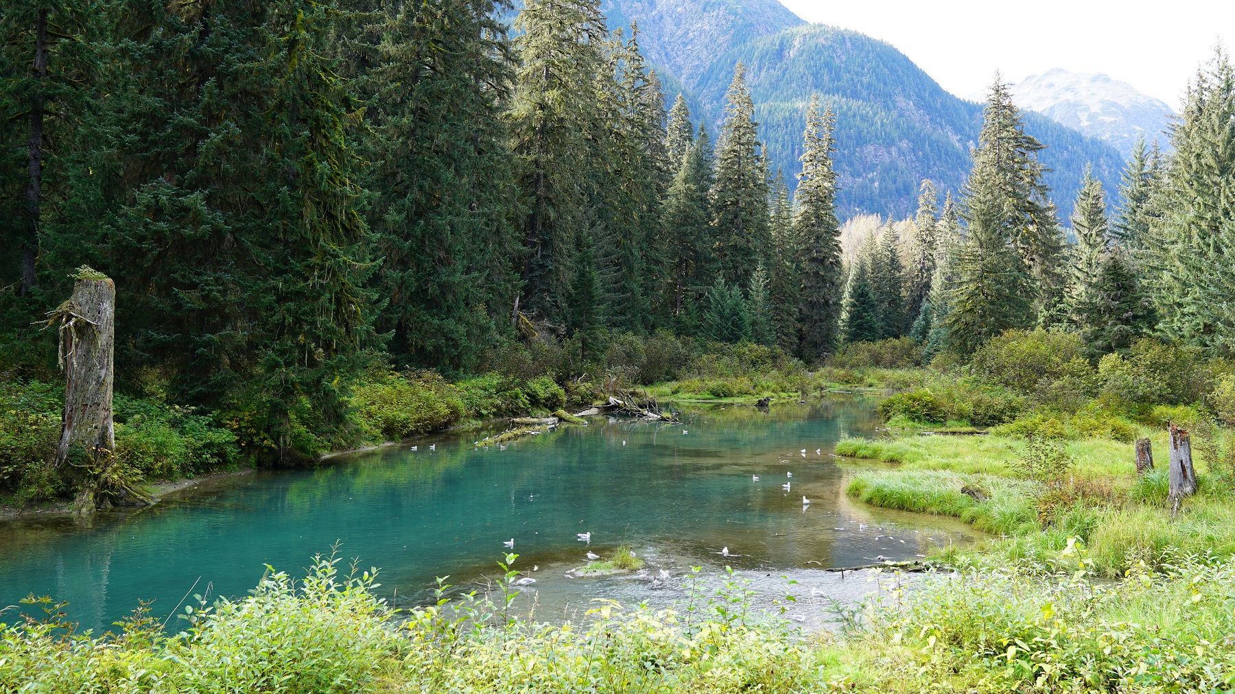
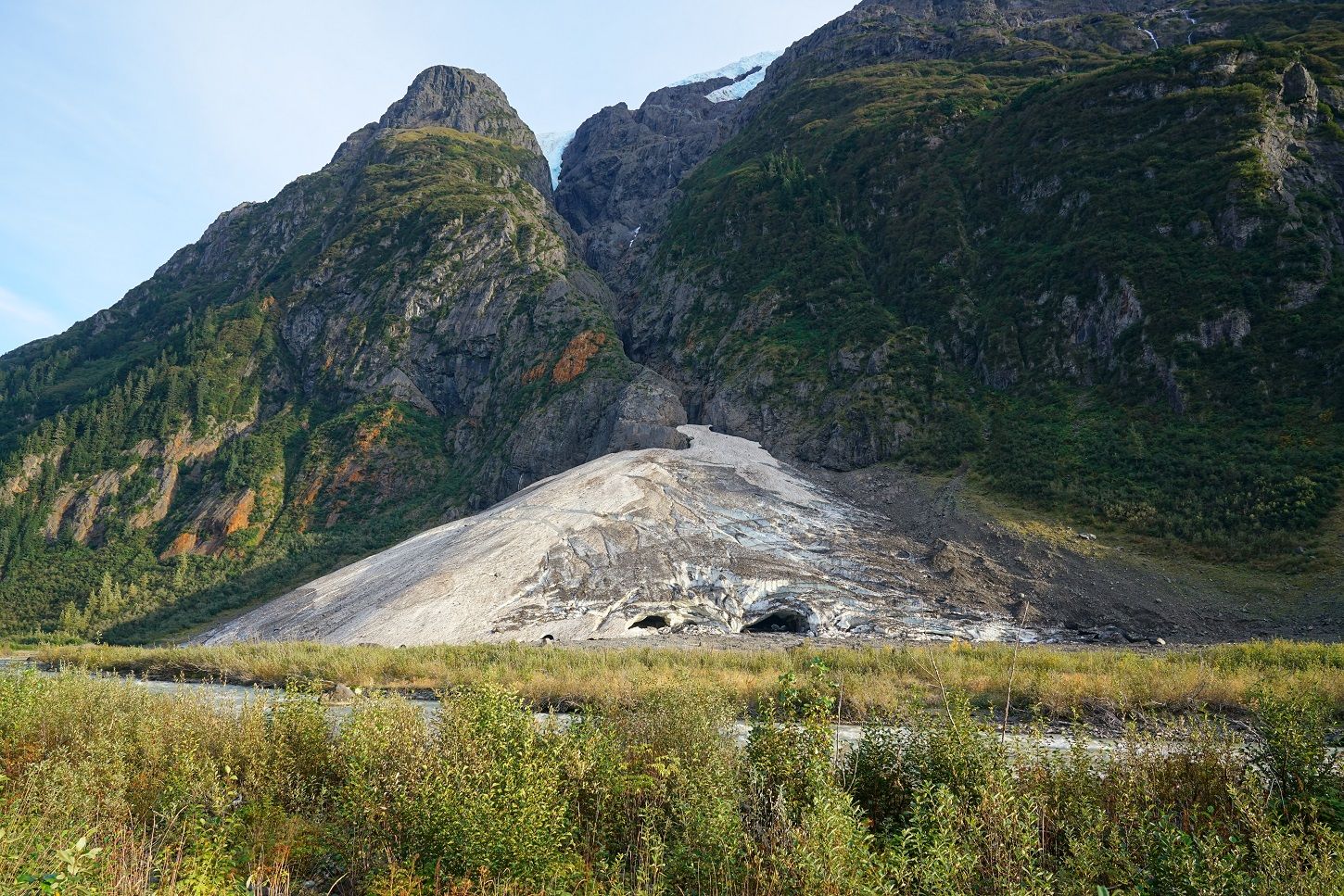
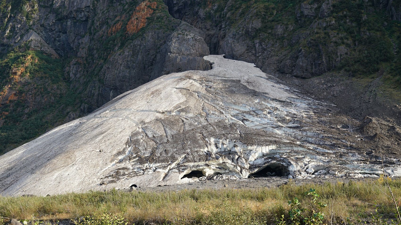
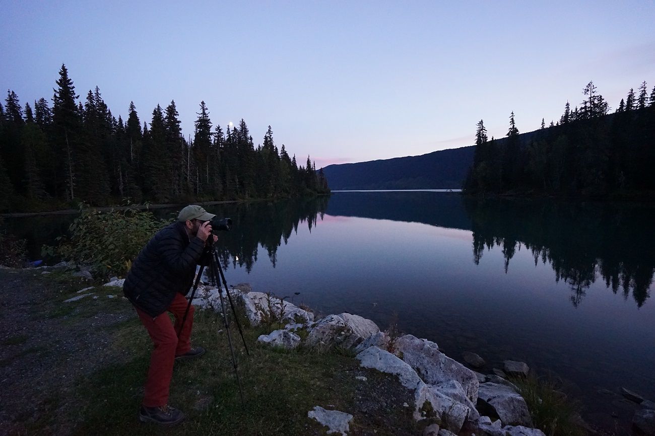
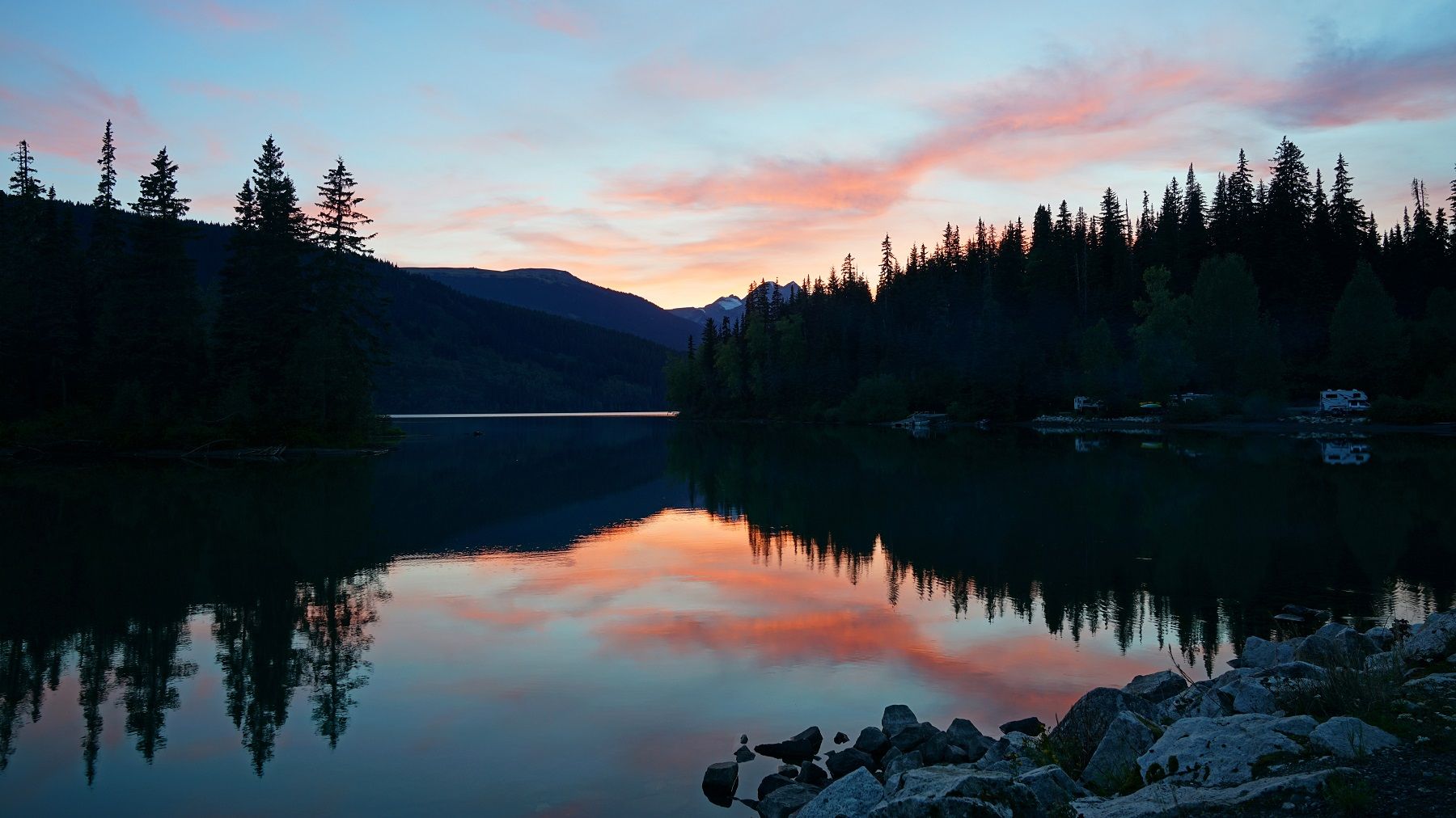
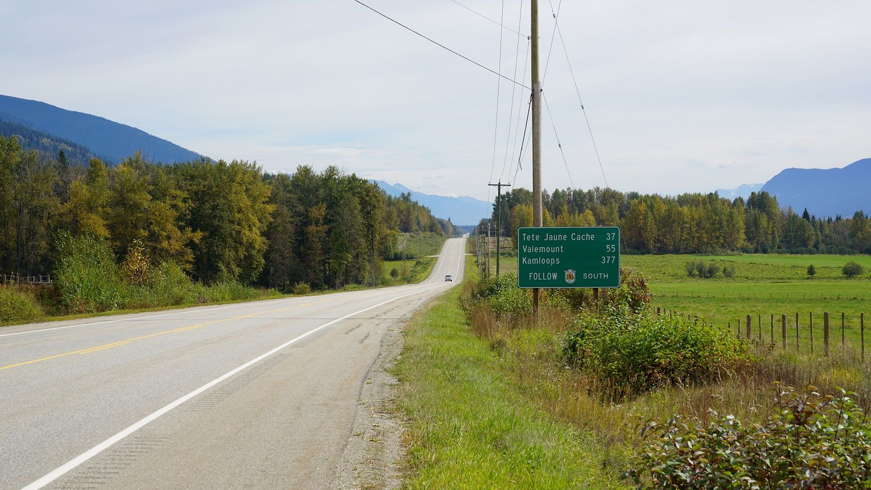
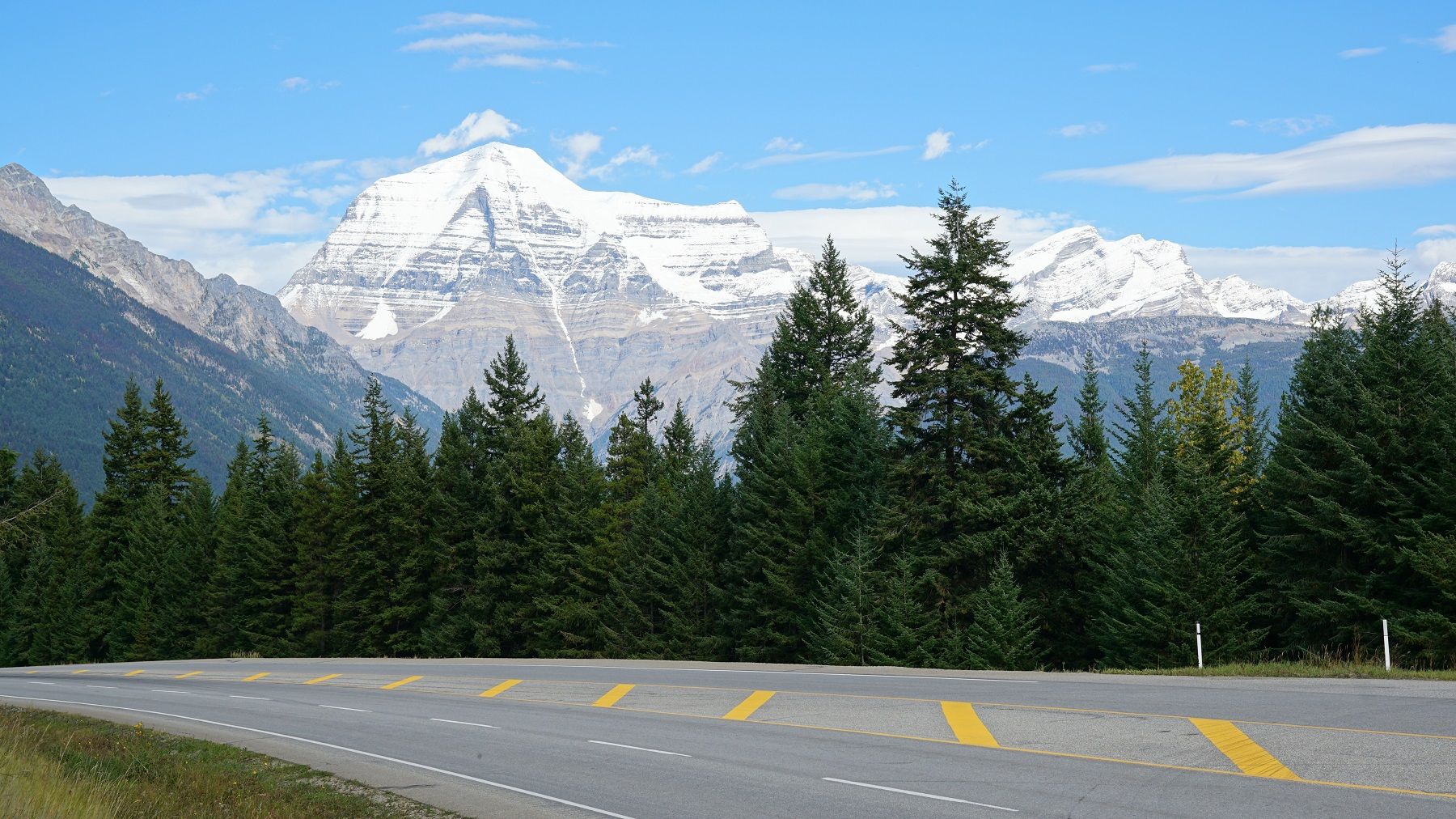
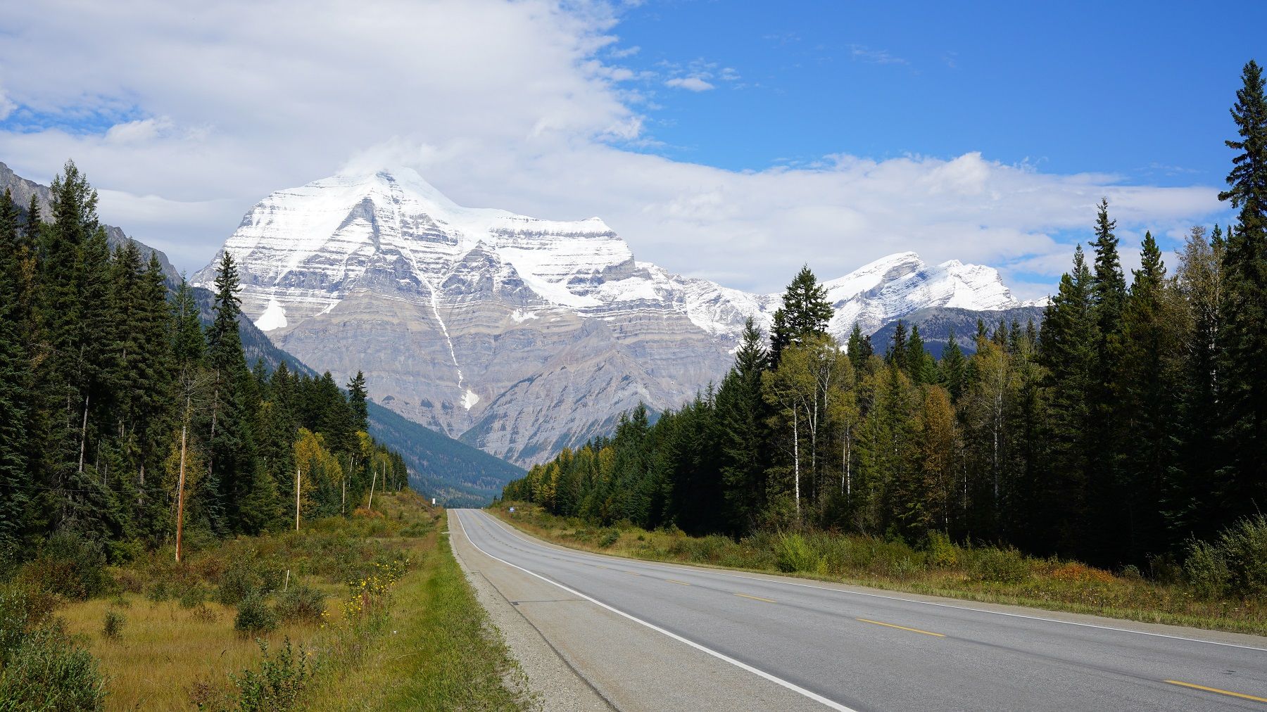
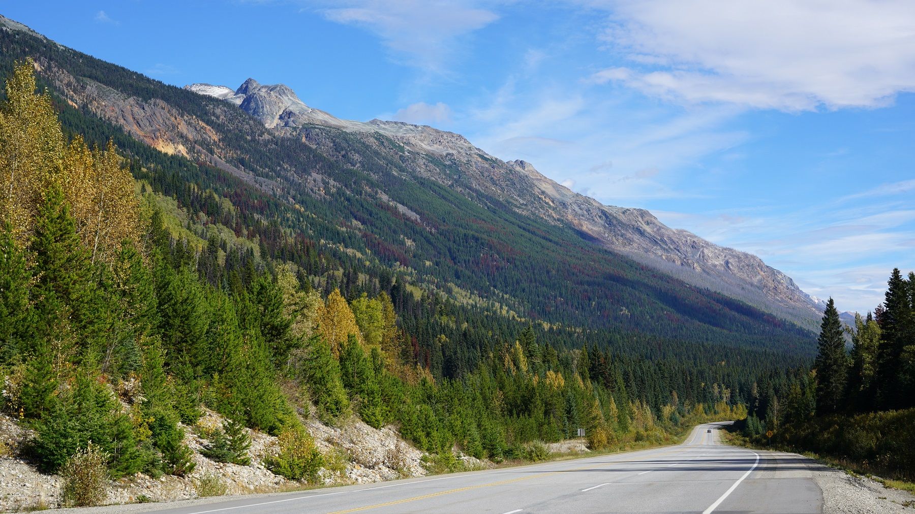
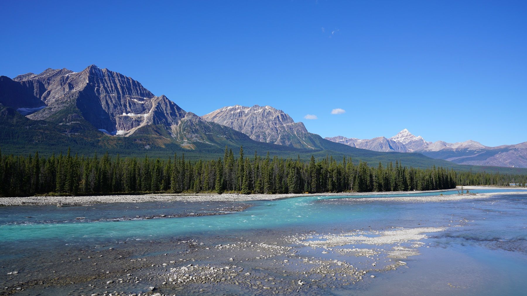
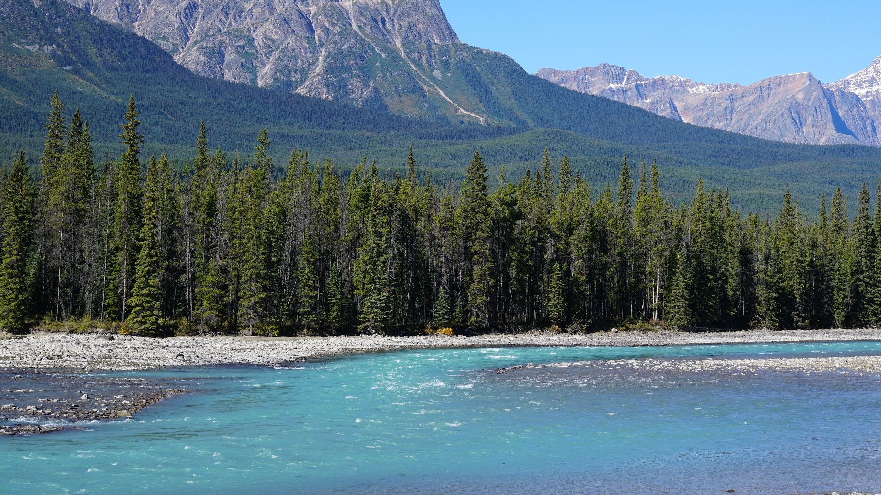
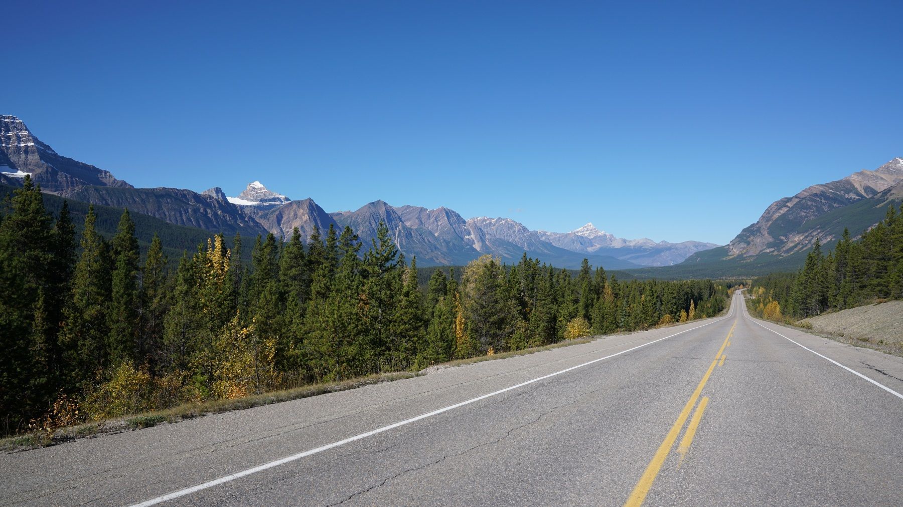
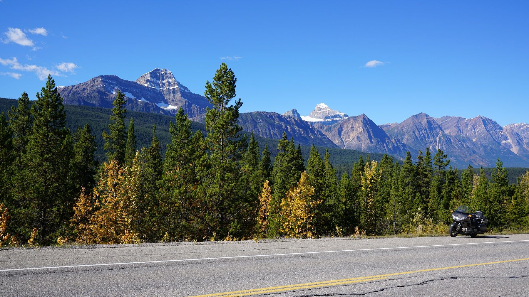
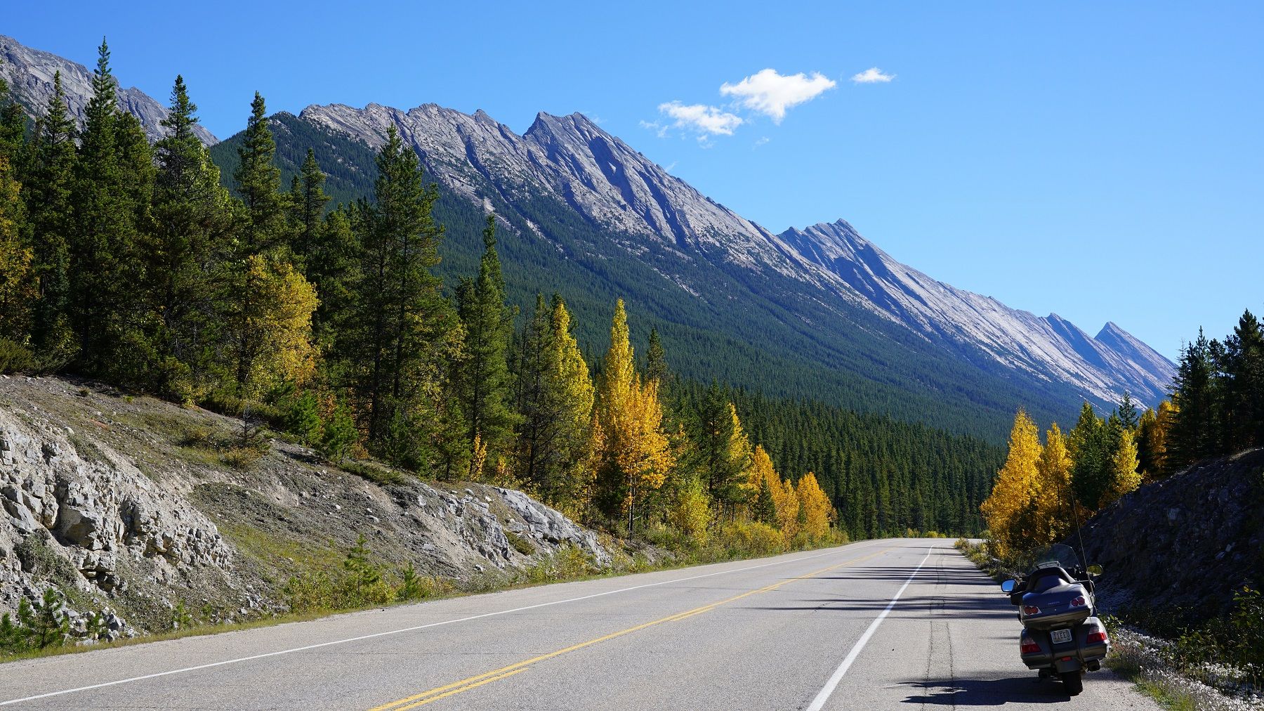
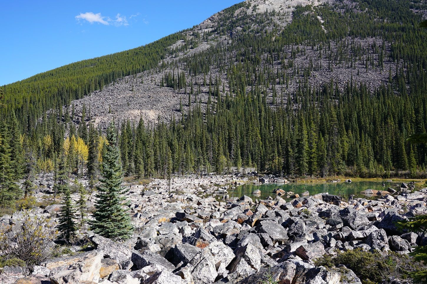
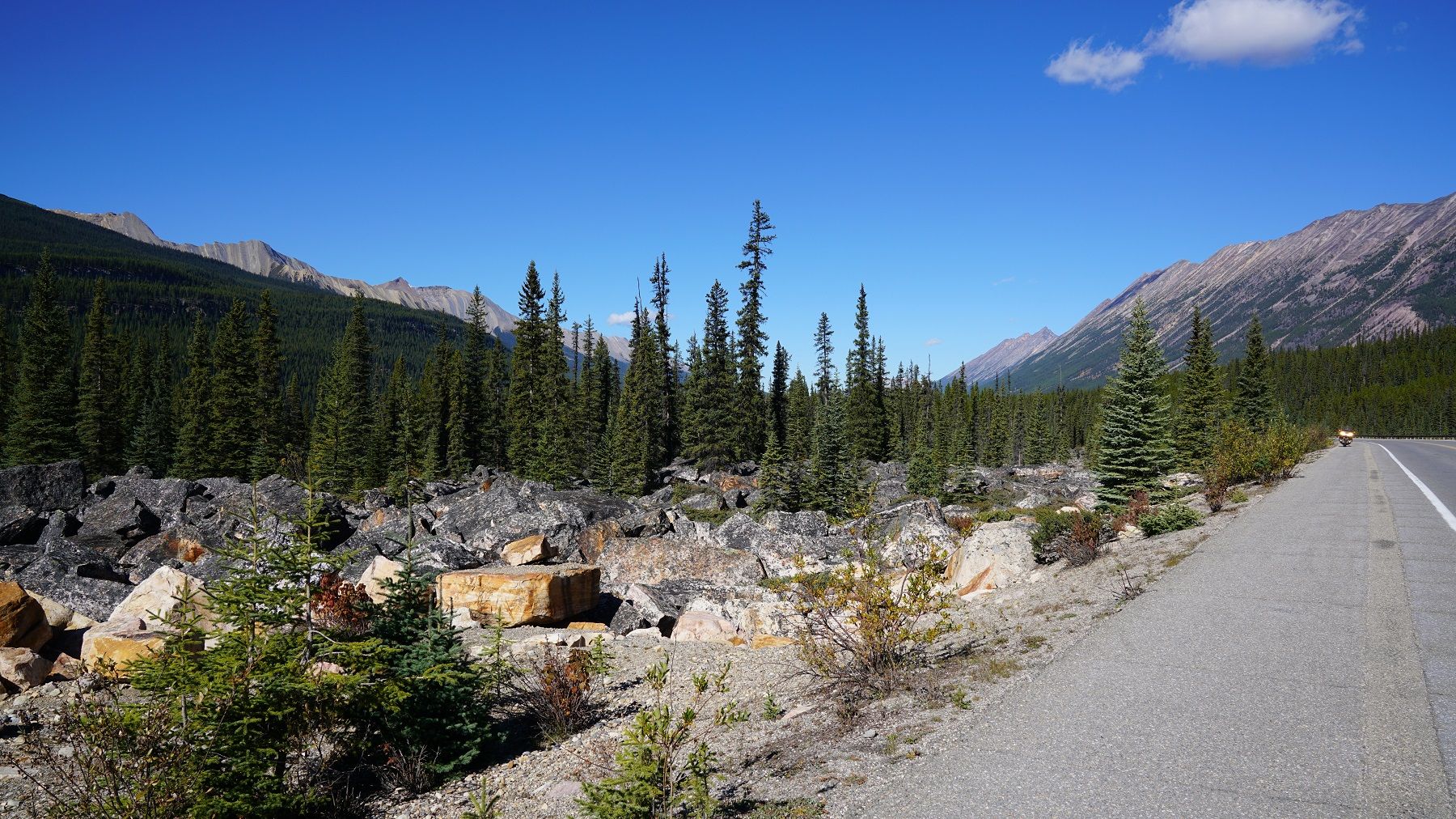
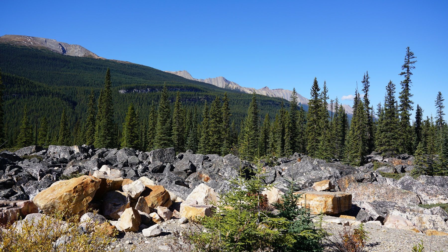
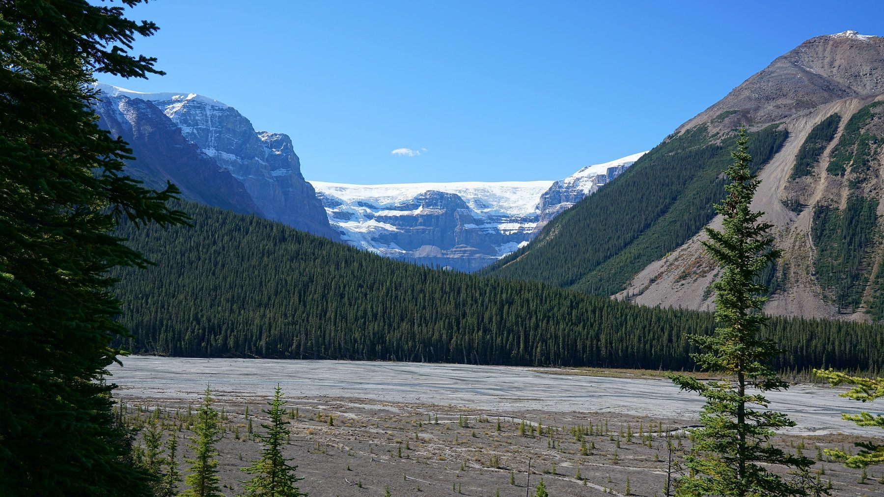
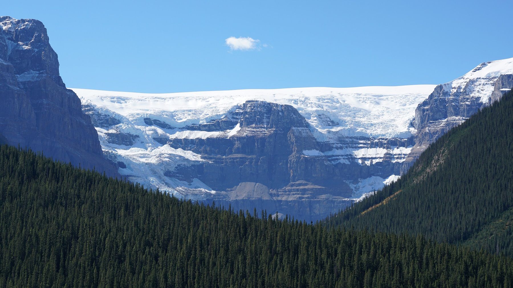
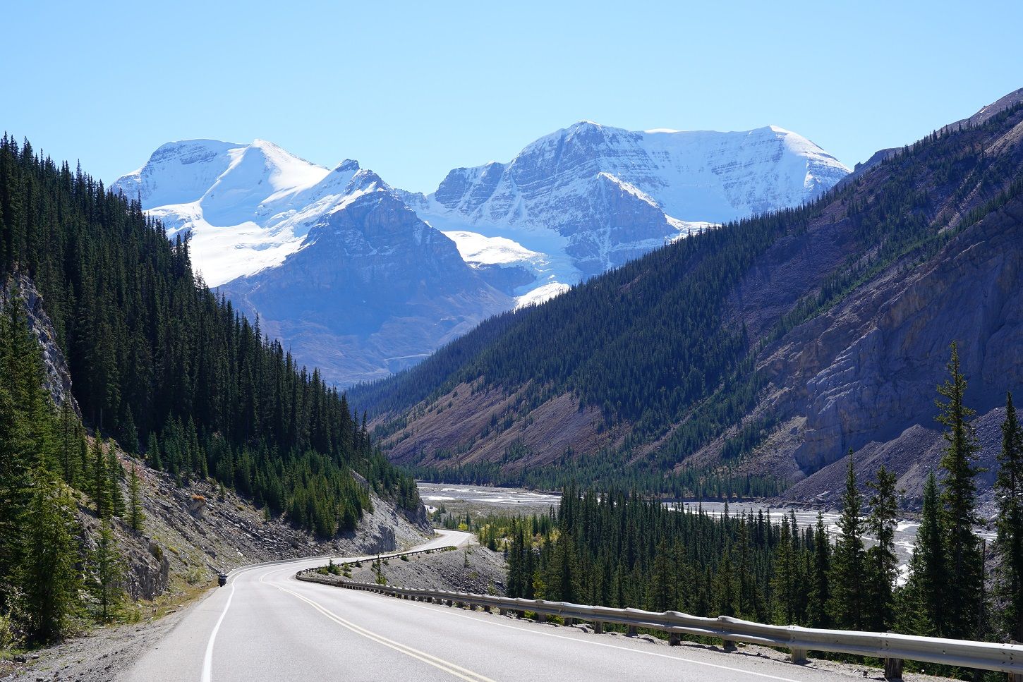
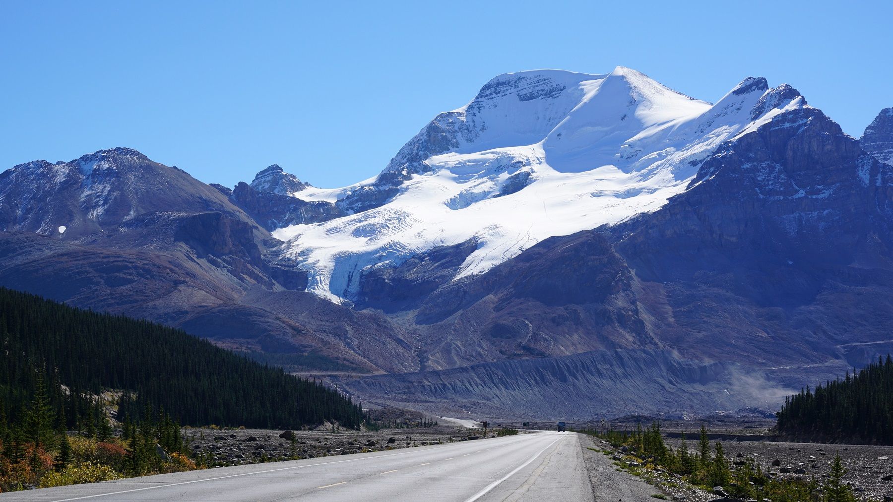
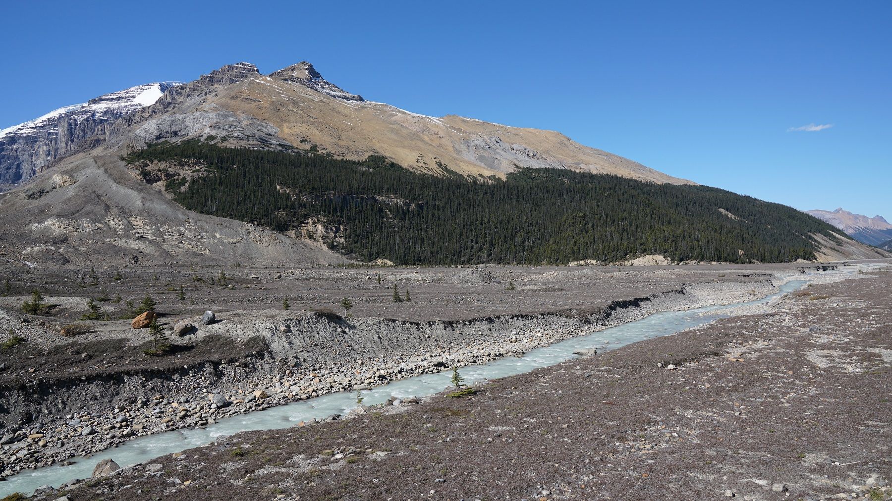
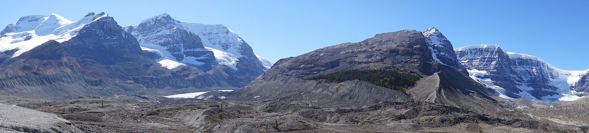
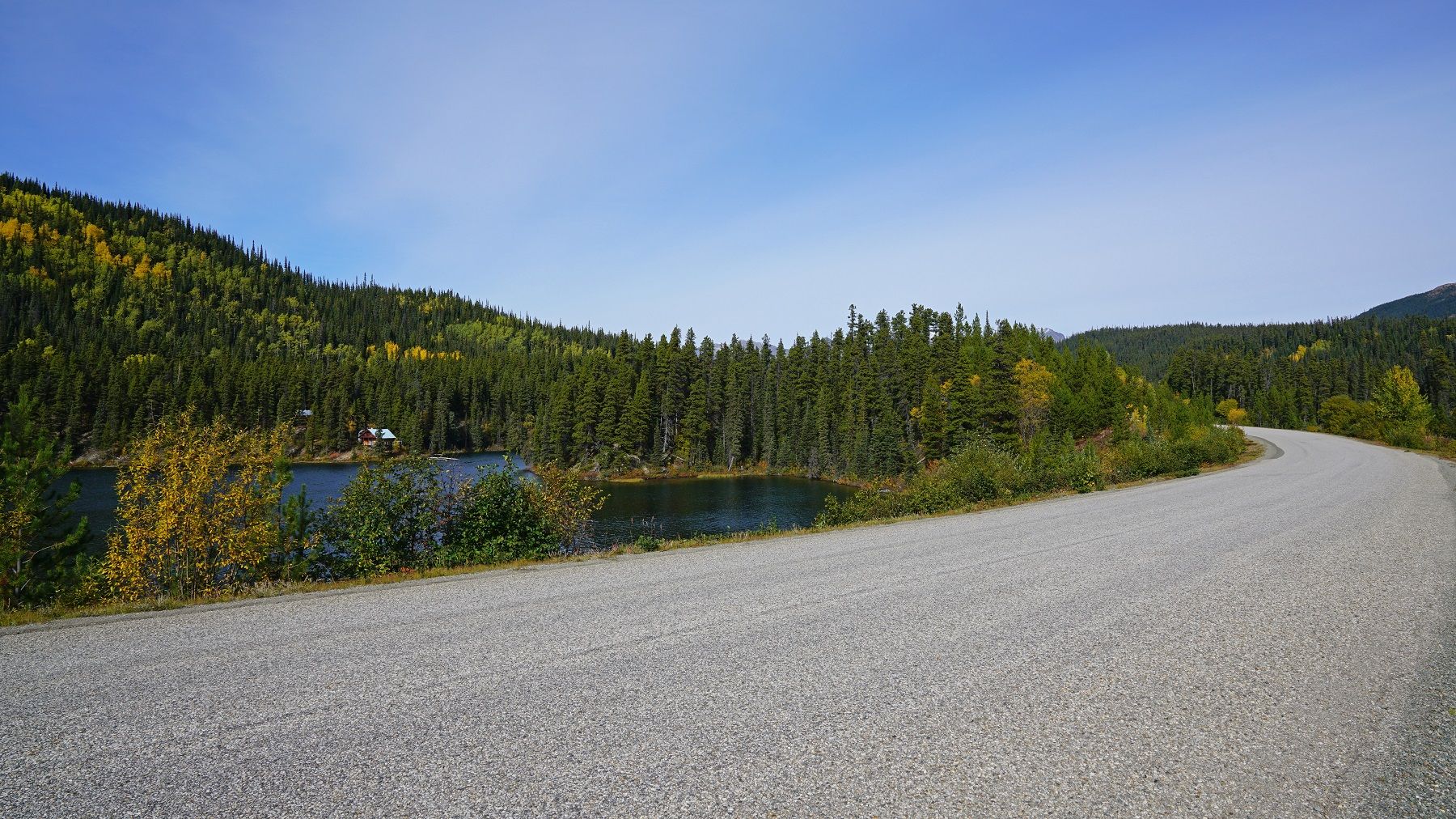
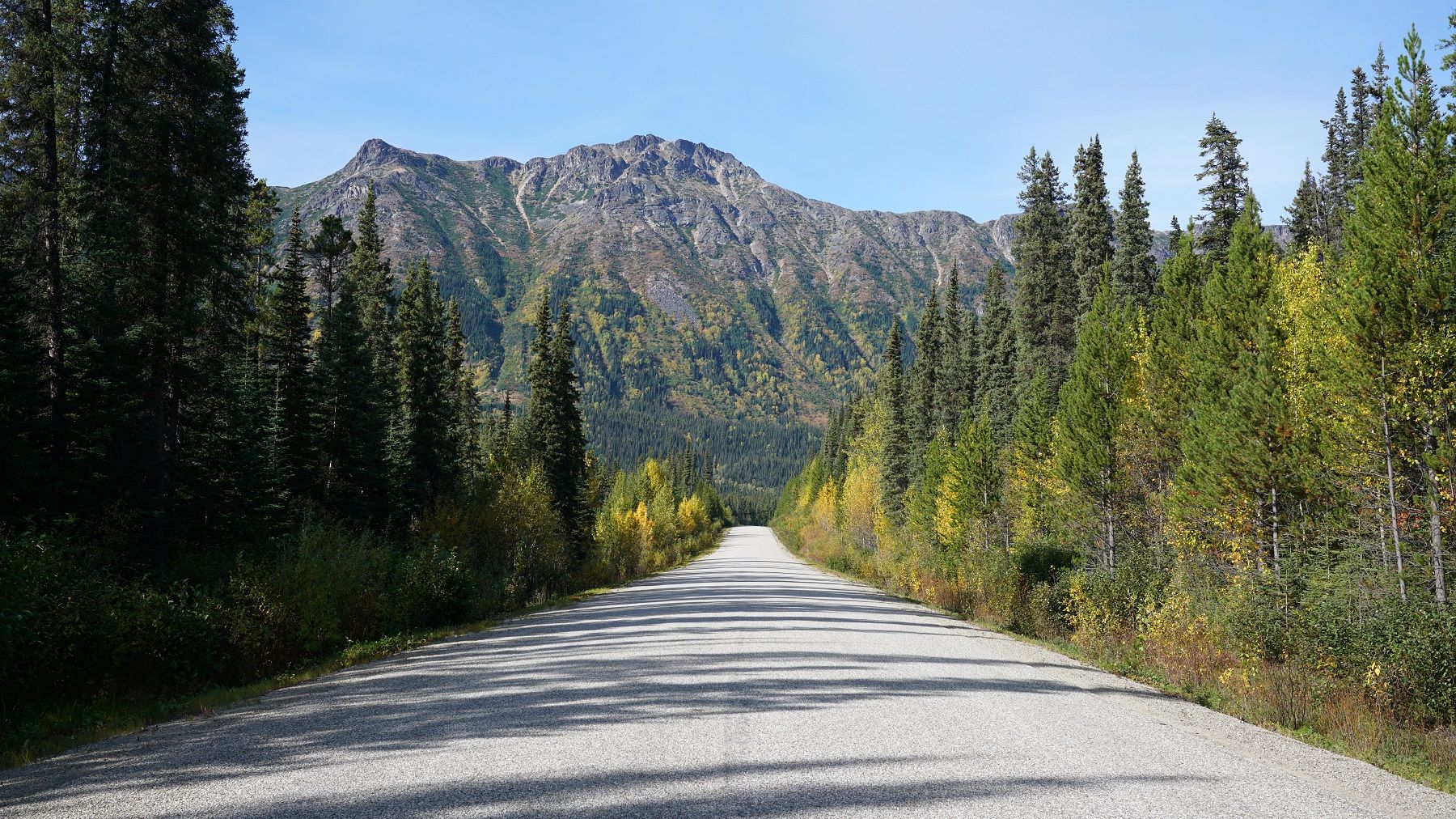
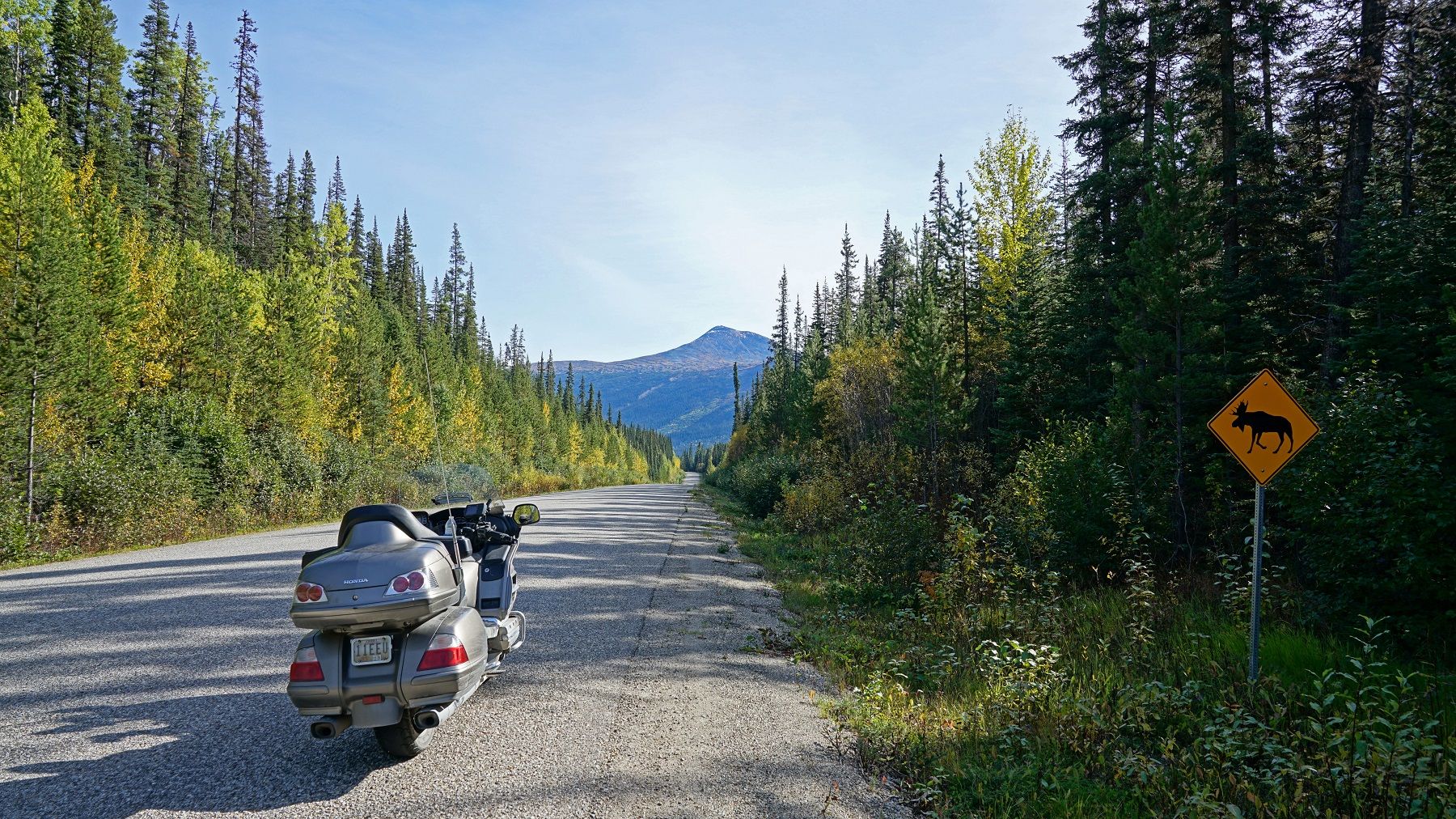
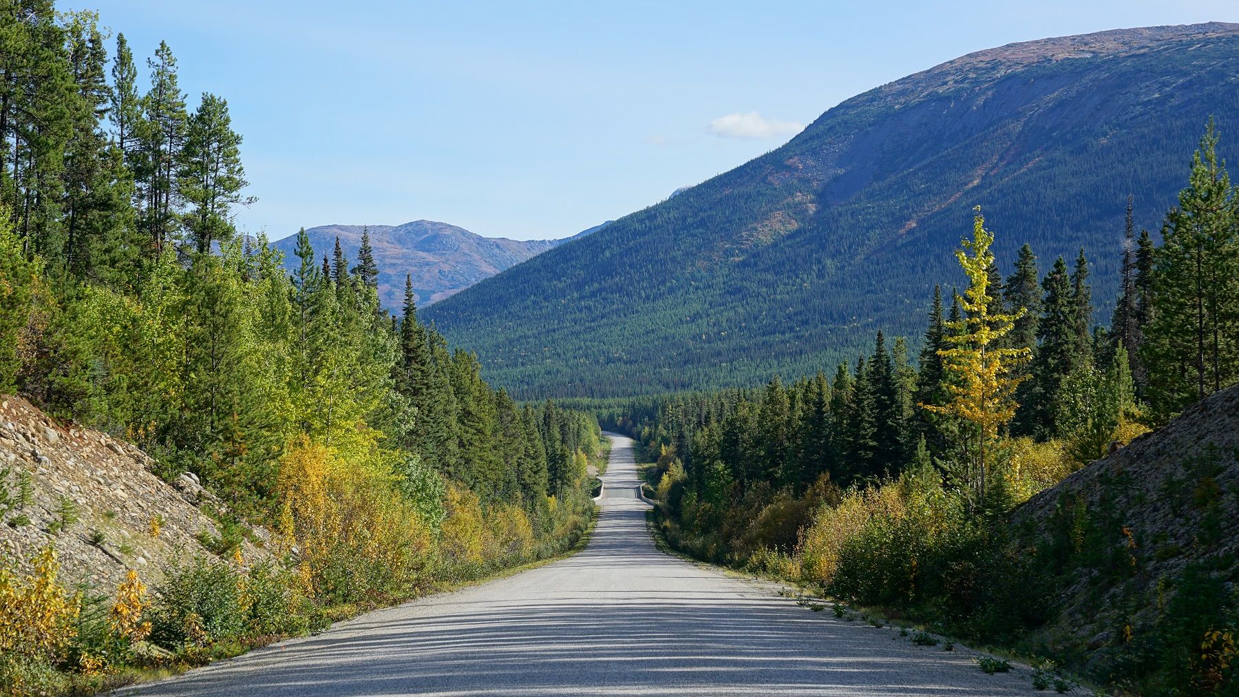
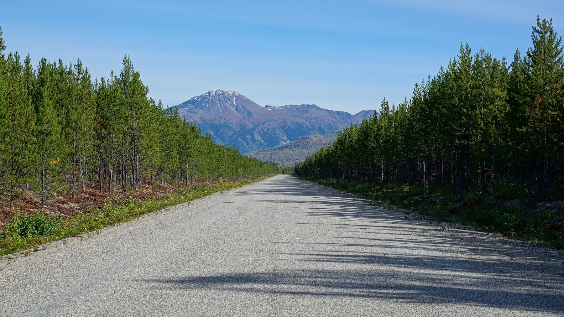
South of Dease Lake the views get really nice.
DSC09324aa.jpg~original


DSC09319aaa.jpg~original


DSC09333a.jpg~original


DSC09339aa.jpg~original


DSC03035a.jpg~original


DSC09347a_1.jpg~original


Now you may have noticed there have been no bear pics for the first 3 weeks of the trip. That's because we've only seen two, and both jumped in the woods before I could get a pic. Well, this evening I saw 7 bears in the 30 minutes from sunset to darkness. This was the first one I saw and it was in no hurry to get away.

DSC09219b.jpg~original


DSC09219bb.jpg~original


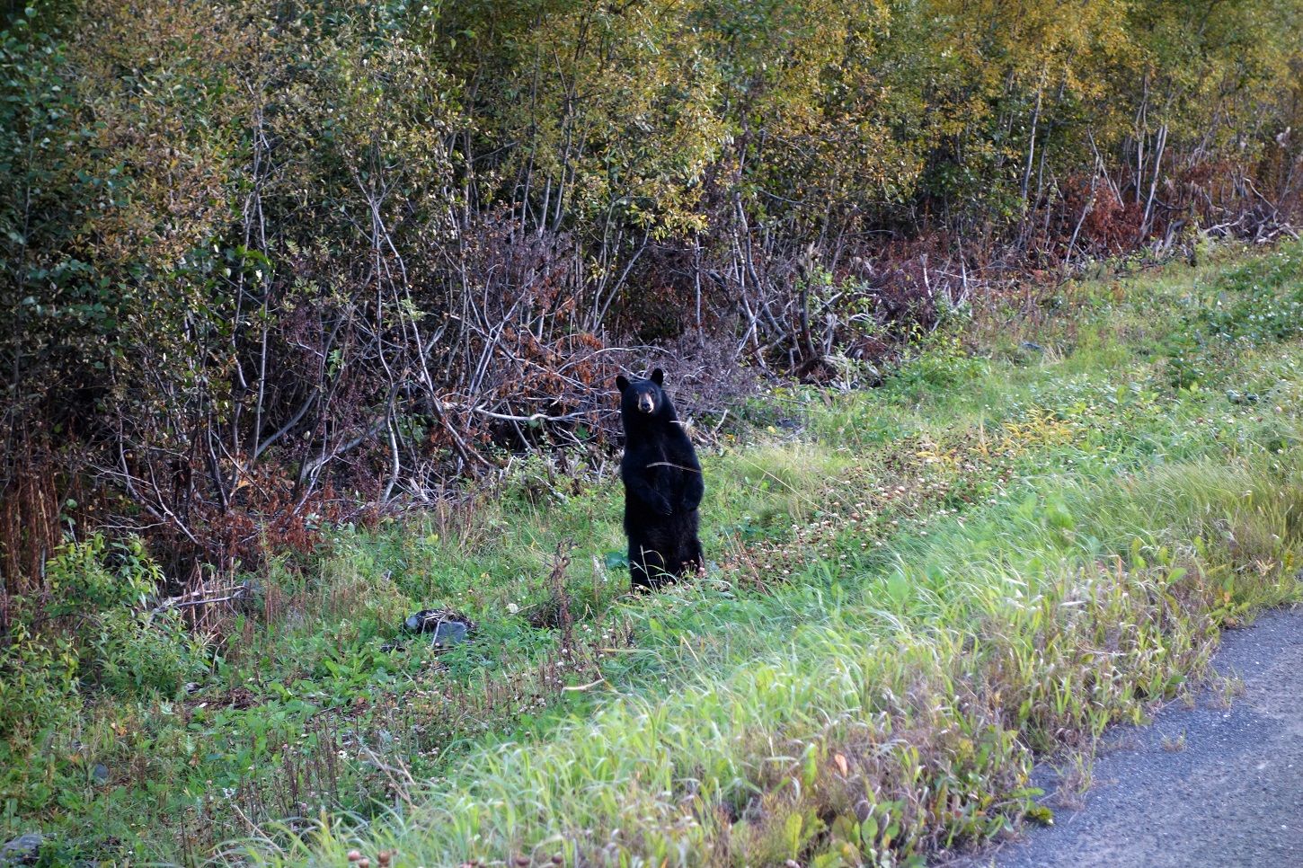
I left the bike running and had Dad right behind me if I needed to run and jump in the truck.
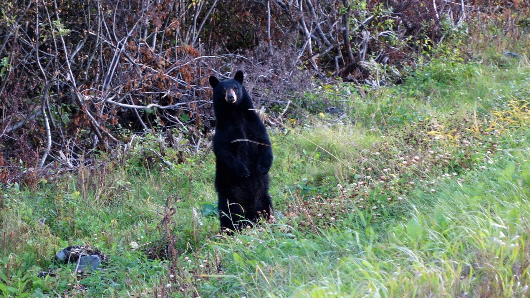
DSC06939.jpg~original


Getting braver...
DSC06940.jpg~original


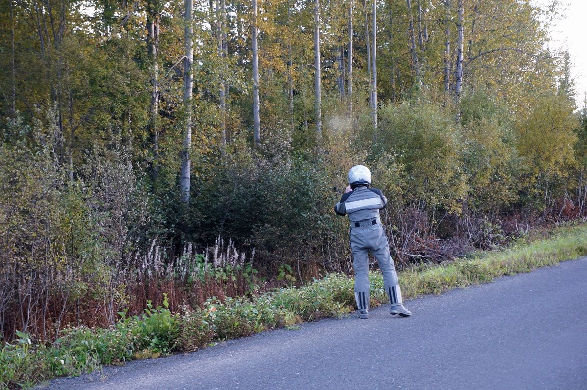
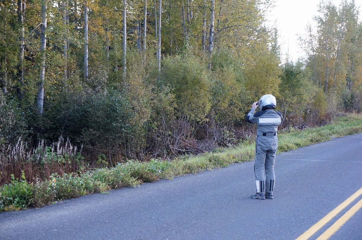
Right about then my exit strategy pulled around my bike and left me standing in the road. What da hell?! Thanks Dad!

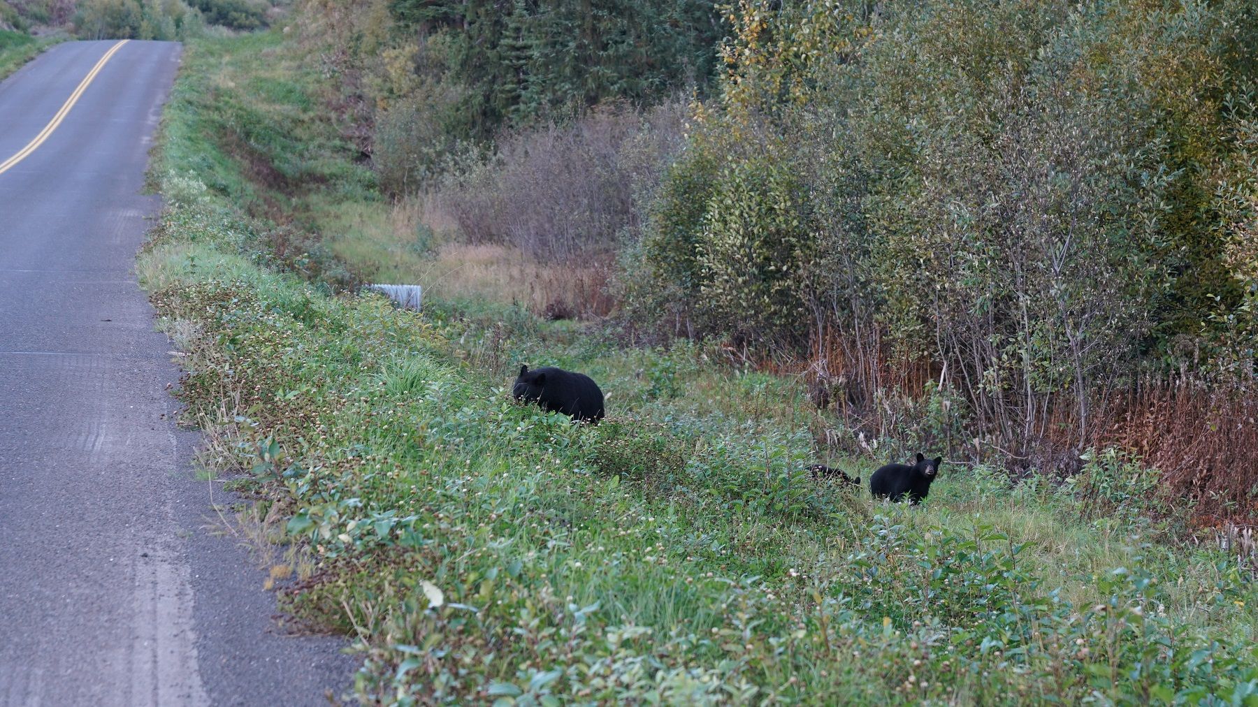
Mom/cubs. The rest of the bears got away before I could get my camera out.
DSC09353a_1.jpg~original


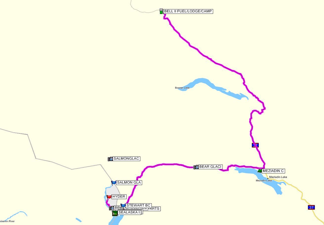
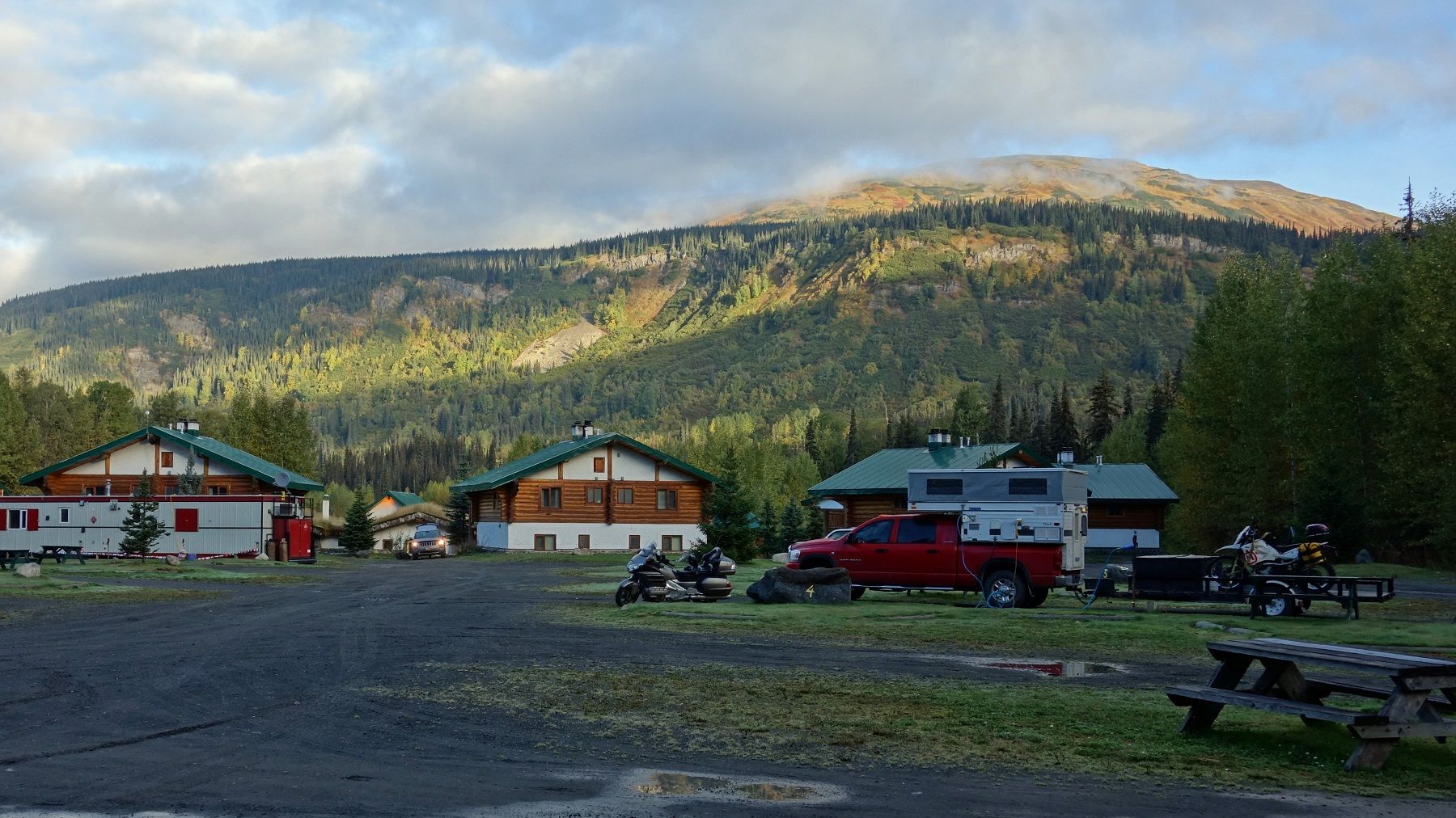
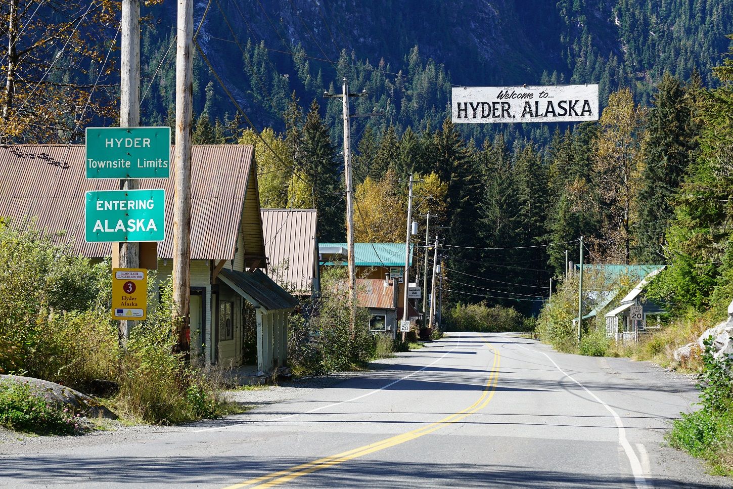
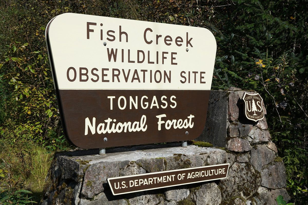
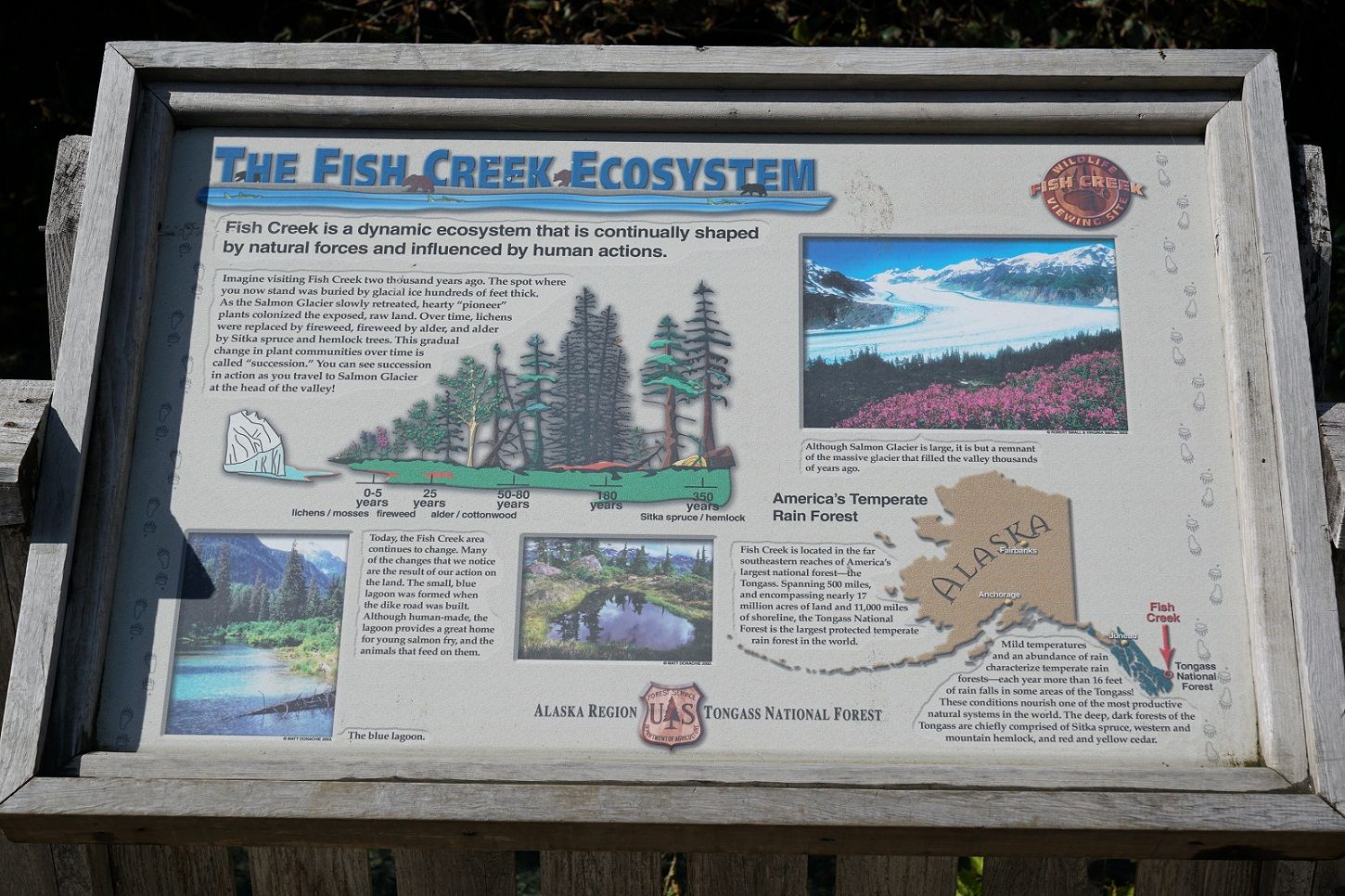
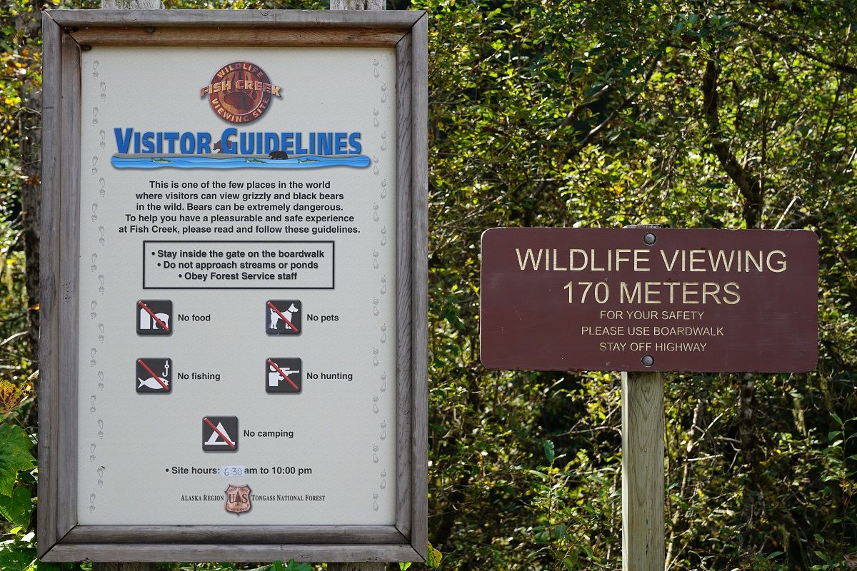
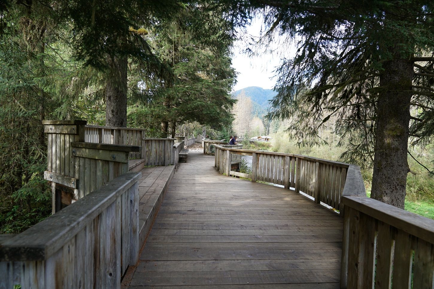
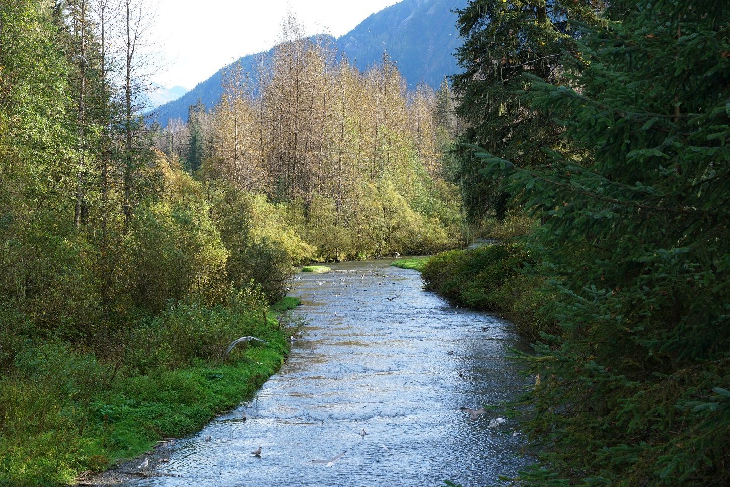
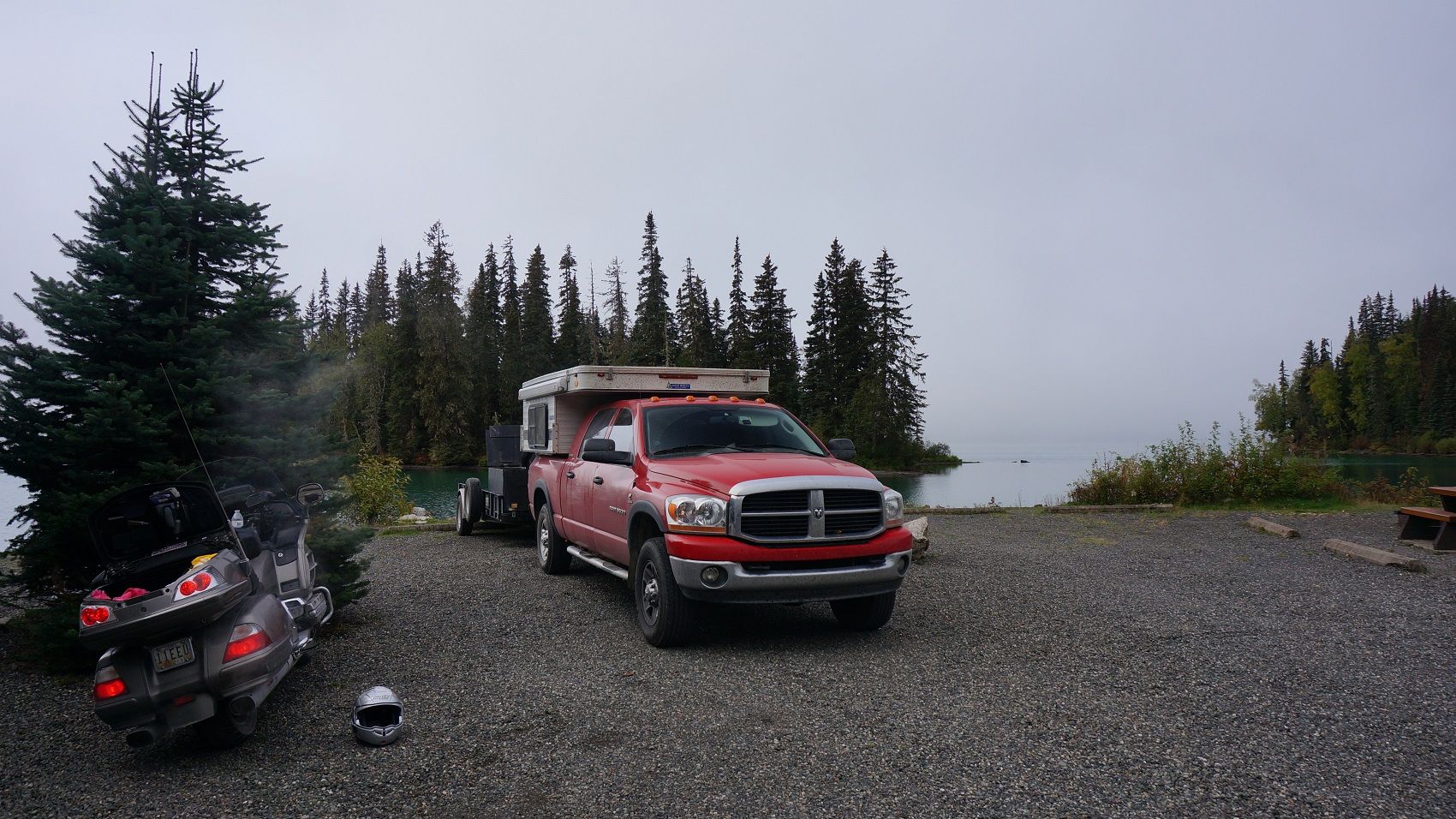
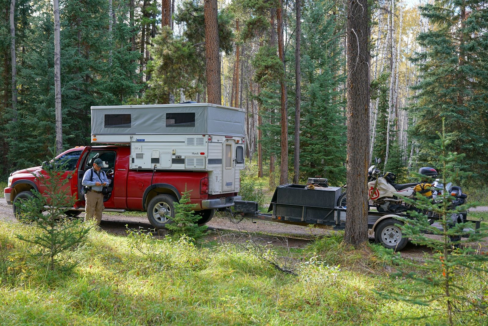
It was after dark by the time we reached Bell 2. Tomorrow we have a easy day to reach Homer and hope to catch some better bear action along the famous viewing platforms.

.
 

akpostal

Adventurer
Yep, I had every intention of doing Hatcher - had to leave some reasons to come back though :)

If you come back up yall could float either the Little Su or Big Su as well as hitting Hatchers Pass. I gotta say you made a good choice seeing Kennecott mine over Hatchers and Independence mine, much more out of the way..

Don't know the Chicken story?
.

Non of the locals could spell Ptarmigan.
 

ak_cowboy

Observer
Excited to see how the rest of your trip on the Cassier went! I'll be headed north this spring and am thinking about taking that route instead of the Alcan
 

igorsadventures

Road tripper
This is amazing Bob! Very inspiring.
Can you tell more about how you planned the trip? I am going to drive to Inuvik, NWT next summer, want to plan it properly, I could definitely learn from you :)
 

DYNOBOB

Adventurer
Excited to see how the rest of your trip on the Cassier went! I'll be headed north this spring and am thinking about taking that route instead of the Alcan

If you've seen the Alcan and not the Cassiar I'd def do the Cassiar. (Unless weather says otherwise..)


When I hit the lotto, I'm buying that house.^^^^^

I agree. Except, would you want to live in view of the main travel road - I'd prob go for the other side of the hill :)

This is amazing Bob! Very inspiring.
Can you tell more about how you planned the trip? I am going to drive to Inuvik, NWT next summer, want to plan it properly, I could definitely learn from you :)

First and formost, read, read, read. My planning was 80% reading ride reports on ADVRider to learn what the different roads were like and where the cool places are. For 5yrs, every time I saw a point of interest or good restaurant/campground mentioned I'd mark it on my Garmin waypoint collection in MapSource. Having the waypoints was a huge advantage in planning where to stop every night. I had all this info in my laptop and each evening I would look at the next day's possibilities.

I had a copy of The Milepost but didn't use it at all. Mainly because I had better info from the culmination of ride reports. I could see the Milepost being useful as a backup source of info for where the next campground, fuel, etc is while you're travelling.

The book I mentioned in the first post was the best I found for info on the different roads in AK.

.
 

DYNOBOB

Adventurer
Monday Sept 12. Bell 2 to Hyder to Meziadin Campground. 160 miles.

Bell%20Mez.jpg~original


It's a frosty 30 degrees this morning as I walk around Bell 2 for some pics. This is as ritzy a place as you will find out here. Rooms aren't cheap and even the camping was pushing $50. The shower house was first class though, with a supply of clean shower mats for you to step out on.

DSC09355_1.jpg~original


DSC09357_1.jpg~original


DSC09354_1.jpg~original


Given the number of bears we saw in the last 30 miles last night, I'd heed the warnings.
DSC09358_1.jpg~original


More beautiful road today. We're only two weeks from needing "winter tires" though..
DSC09286.jpg~original


DSC09382a_1.jpg~original


DSC09373a.jpg~original


Rt. 37a is a spur off of 37 (Cassiar) that takes you to Stewart, BC and Hyder, AK. It's a gorgeous road that winds between the mountains and passes the Bear Glacier.

DSC09388a.jpg~original


DSC09406a.jpg~original


DSC09418a.jpg~original


Stewart and Hyder are tiny little towns.
DSC06958.jpg~original


DSC09293.jpg~original


DSC09287.jpg~original


DSC09288.jpg~original


DSC09289.jpg~original
 

DYNOBOB

Adventurer
You leave Stewart and pass around the bay to reach Hyder.

DSC09431.jpg~original


DSC09436a.jpg~original


Looking back toward Stewart.
DSC09440a.jpg~original


DSC09445a.jpg~original


There is no Customs entering Hyder, only when you exit.
DSC09449.jpg~original


We covered 900 miles the last two days so we can have some time to hang around the famous bear watching platforms in Hyder, AK. We know the salmon are still running so our hopes are high.

DSC09462.jpg~original


DSC09450.jpg~original


DSC09453.jpg~original


DSC09481.jpg~original


DSC09485.jpg~original


DSC09476.jpg~original


DSC09463.jpg~original


DSC09473.jpg~original


Alas, lots of fish but no bears. The ranger informs us that the bears are burned out on fish at this point and they're down to about 1-2 bear sightings a day. We debating camping down the street to see what happened as it got dark (and in the morning). However it's calling for rain in the morning, so we shoved off about 5pm and decided to make the 50 mile run to Meziadin campground.

DSC09488.jpg~original


DSC09490.jpg~original


The Meziadin decision was a good one. We arrived and grilled some burgers with a fantastic view and a beautiful sunset.

DSC09496a_1.jpg~original


DSC09516a_1.jpg~original


DSC03611.jpg~original


DSC09500aa.jpg~original


.
 
Last edited:

igorsadventures

Road tripper
First and formost, read, read, read. My planning was 80% reading ride reports on ADVRider to learn what the different roads were like and where the cool places are. For 5yrs, every time I saw a point of interest or good restaurant/campground mentioned I'd mark it on my Garmin waypoint collection in MapSource. Having the waypoints was a huge advantage in planning where to stop every night. I had all this info in my laptop and each evening I would look at the next day's possibilities.

I had a copy of The Milepost but didn't use it at all. Mainly because I had better info from the culmination of ride reports. I could see the Milepost being useful as a backup source of info for where the next campground, fuel, etc is while you're travelling.

The book I mentioned in the first post was the best I found for info on the different roads in AK.

.

Thanks for sharing your experience!
I have a map in Google Maps where I make notes of interesting destinations, but I will start putting interesting places there as well.
Do you know about any book covering North-Western Canada, just in case? :)
 

DYNOBOB

Adventurer
Thanks for sharing your experience!
I have a map in Google Maps where I make notes of interesting destinations, but I will start putting interesting places there as well.
Do you know about any book covering North-Western Canada, just in case? :)

I don't know of a book, but if you google "advrider inuvik" there are quite a few reports. Not sure if you're aware of this, but they are extending the Dempster all the way to the Arctic Ocean. It's expected to open next Sept.

Have you downloaded my waypoint file? There are several waypoints for going to Inuvik.

For the Dempster my advise is the same as for the Dalton, have two methods (pumps) for tire inflation and tire plugs! What are you traveling in?

.
 

DYNOBOB

Adventurer
Tuesday Sept 13 and Wednesday Sept 14. Meziadin to Prince George, BC to Jasper, AB. 405 + 240 miles.

Mez%20Jasp.jpg~original


Tuesday was the least remarkable day of the trip. The remaining 100 miles of the Cassiar from Meziadin to its terminus at Rt 16 is not bad, but Rt 16 has a totally different feel. You're passing thru a lot of towns and it very much resembles driving thru Kentucky or Tennessee for the 300 miles to Prince George. Wednesday was better as the section of Rt 16 from Prince George to Tete Juane Catche is nearly uninhabited. Do not forget to fuel up in Prince George! I skipped fuel thinking there would be gas every 30 miles like there had been yesterday and had to add my 1gal Rotopax to the Wing to make it to McBride. It was the only time on the trip we had to use our spare gas/diesel.

Meziadin is a little fogged in this morning, glad I took pics last night!

DSC06973.jpg~original


The Gitanyow Indian Reservation is at the intersection of the Cassiar/Rt 16. There was a cool display of totem poles (that I should have taken pics of) and this forlorn looking church.

DSC09535.jpg~original


DSC09535a.jpg~original


DSC09536.jpg~original


We pulled over in Smithers and made sandwiches for lunch.
DSC09538.jpg~original


Prince George is a large city that feels like any downtown urban area in the Lower 48. We hit Walmart for supplies, and had dinner at a McDonalds where because of the vagrants hanging around you had to be buzzed into the restroom by the order counter. We escaped 10 miles south on Rt 97 to get away from town and camped at MaMa Yeh campground. It's a new facility and the oriental gentleman that owns it has put a nice amount of infrastructure (water/sewer/elec) in already and is planning more improvements. Hopefully this includes a shower house as we're doing another stretch of 3 days between showers.

DSC09299.jpg~original


DSC09295.jpg~original
 

DYNOBOB

Adventurer
Wednesday we got up and beat feet toward Jasper Natl Park. The forecast for Thursday looks fantastic on the Icefields Parkway so we're hoping to finish this trip on a high note.

DSC09541.jpg~original


DSC09539a.jpg~original


The scenery gets spectacular as you near Jasper.

DSC09546.jpg~original


DSC09551.jpg~original


DSC09557.jpg~original


DSC09554a.jpg~original


DSC09559a.jpg~original


Tonight we'll stay at Whistlers Campground just a few miles south of Jasper. Whistlers and Wapiti campgrounds are both really nice facilities and even this late in the season are nearly booked. There were no full-service hookups available so we took a primitive site. After 3 days showerless, we were happy just to get cleaned up.

DSC09571.jpg~original


DSC09575.jpg~original


.
 

DYNOBOB

Adventurer
Thursday Sept 15. Whistlers Campground to Etherington Campground. 290 miles

Whist%20Ether.jpg~original


Well the end of the trip is near. :( However, we're finishing on a high note with a perfect day of weather on the Icefields Parkway! :) After fueling up in Jasper we head south for Lake Louise.

DSC09584a_1.jpg~original


DSC09587a.jpg~original


DSC09591a.jpg~original


DSC09596a.jpg~original


DSC09602a.jpg~original


The road was built right thru this awesome rock flow.
DSC09613.jpg~original


DSC09616a.jpg~original


DSC09617a.jpg~original


DSC09624a.jpg~original


DSC09621a.jpg~original


The recently constructed Glacier Skywalk, a glass floored viewing platform, is part of the Columbia Icefields tourist business. It's a very congested area so I stopped down the road and hiked back up for some pics.

DSC09640.jpg~original


DSC09638a.jpg~original


Walking back to the bike...
DSC09642.jpg~original


Nearing the Columbia Icefields Visitor Center.
DSC09647a.jpg~original


The outflow of the Columbia Glacier.
DSC09648.jpg~original


DSC03622.jpg~original
 
Last edited:

Forum statistics

Threads
185,896
Messages
2,879,547
Members
225,583
Latest member
vertical.dan
Top