pmatusov
AK6PM
This year, Kauai achieved a distinction of entering my list of "what did I do to end up here?" places. Along with places like village of Ordjonikidze in Crimea, immigration hold in Kuwait International, or an empty service station in Salina, Utah. One common feature of these places is that I did not end up there on my own will, but as a result of some bizarre chain of events.
Sometimes the stay in one of these places becomes long enough to allow some unplanned exploration of local geography.
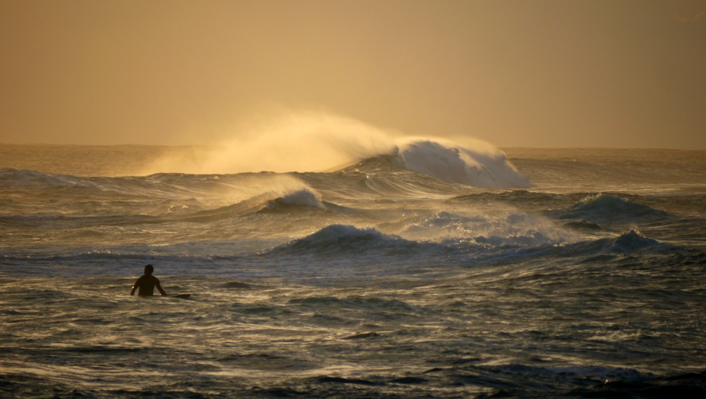
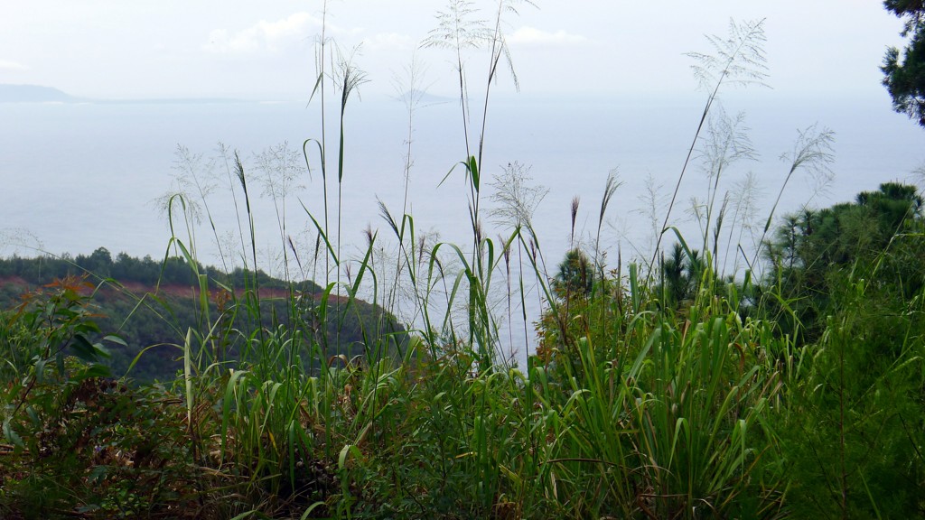
This trip to Kauai came after two previous trips - with the family and work-related - so I was roughly familiar with the touristy parts of the island. So, instead of a "adventure report," I'll list a few places that are not considered glamorous enough to be inundated by nature-loving crowds. This list is organized geographically - East to West along the Southern shores of the Island, from Lihue to Polihale Beach.
Lihue
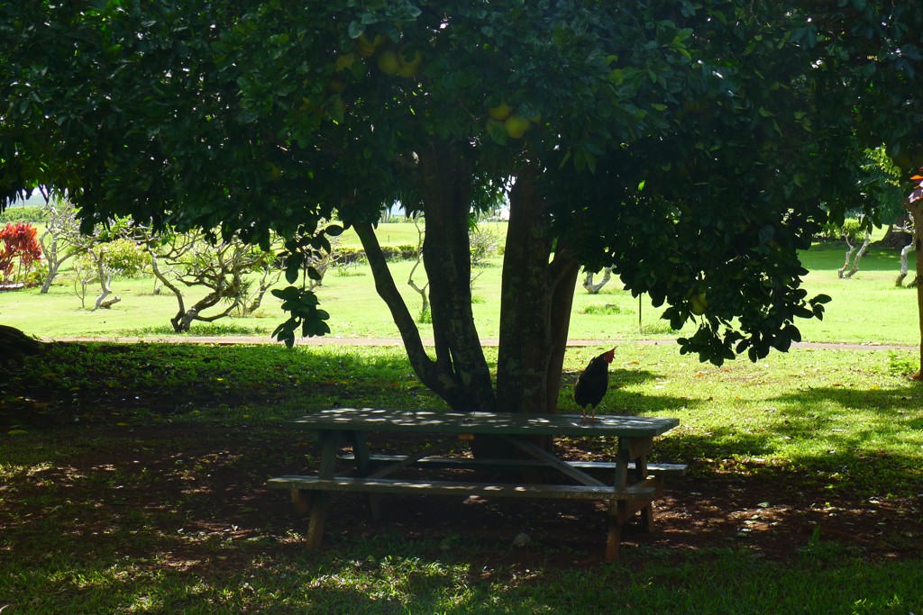
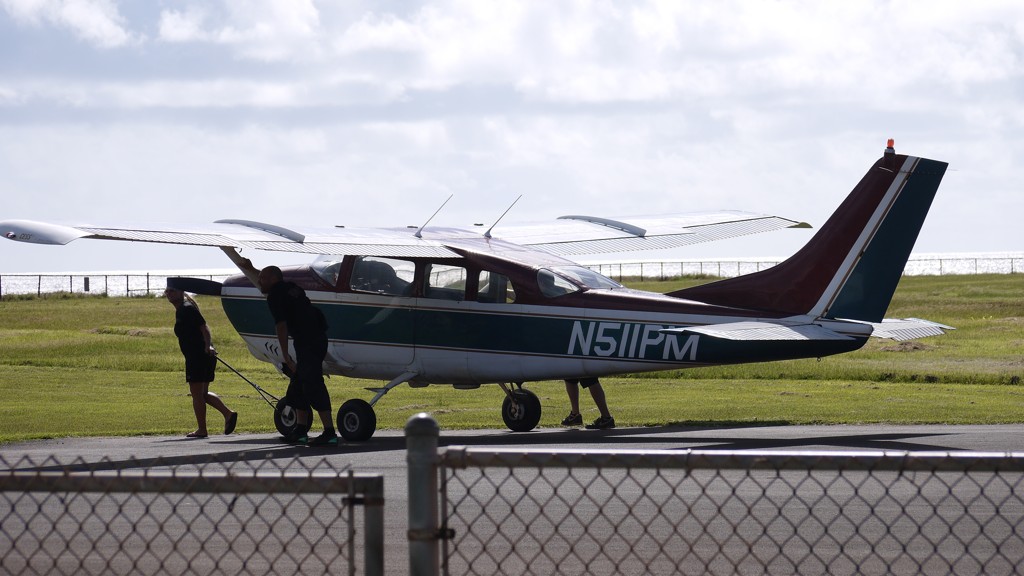
Lihue is the place you arrive to in Kauai (unless you get a privilege of being ferried on a Lear from other islands to Hanalei Bay or on a C-17 to Barking Sands). It has all you can possibly need - supermarkets, big box stores, Starbucks (why would you go there in Kauai?), and more than a handful of bars and restaurants. I failed to discover the red (or purple?) light district - some other time.
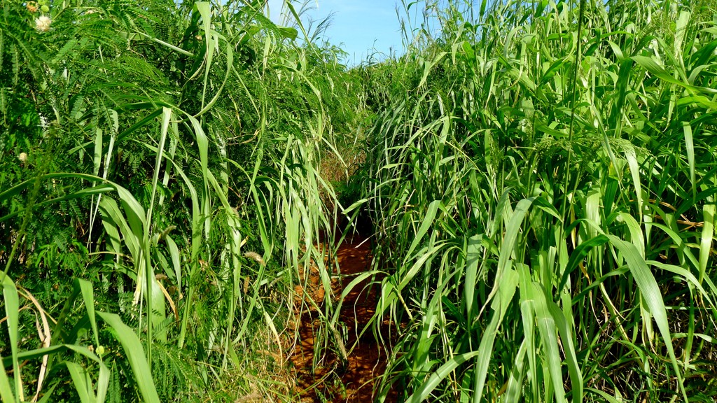
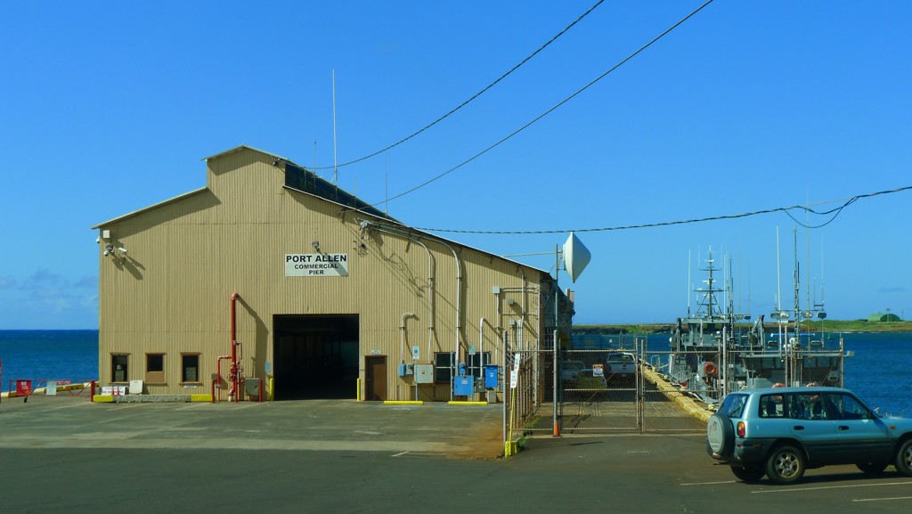
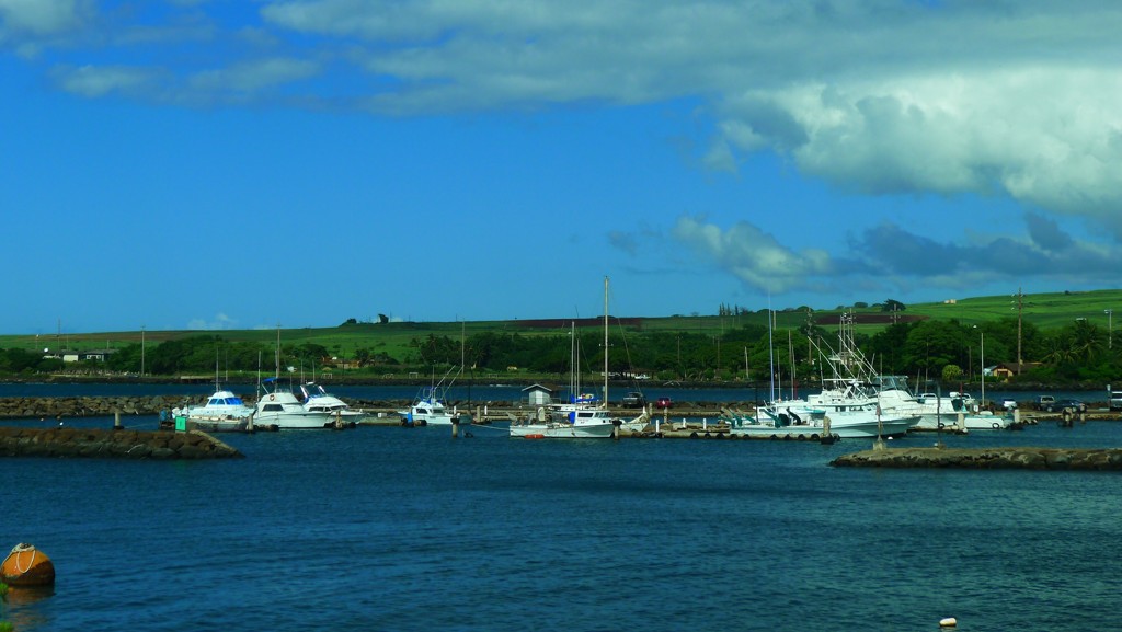
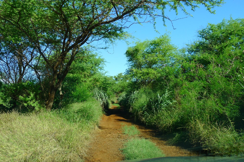
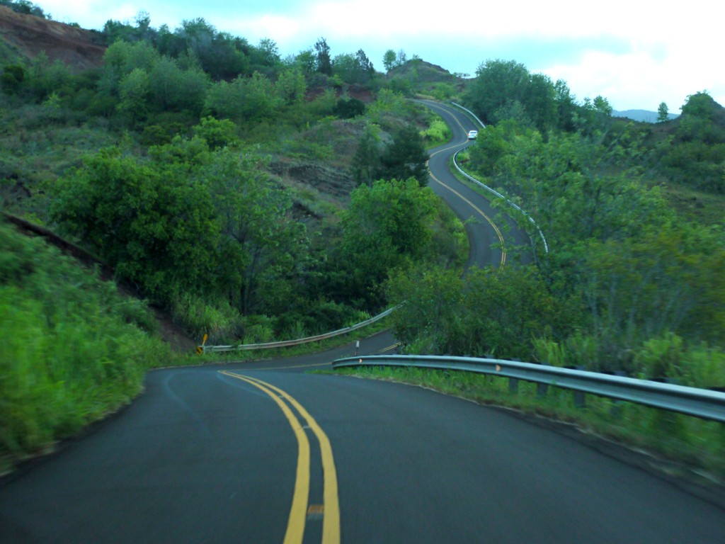
If your way from Lihue is to one of ridiculously-expensive hotels in Poipu, you may take a little detour. From the airport, take a left on Hwy 51, which becomes 58 (Nawiliwili Road), and turn left to Wilcox Rd. This one, in its turn, will change name to Kanoa Rd and then to Waapa Rd. The road will take you by the passenger terminal (sometimes with a view of a cruise ship the size of Lihue), by local marina with all five or ten sail and fishing boats, tiny park, and will rename itself yet again to Hulemalu Rd. The road will become narrow and twisted -
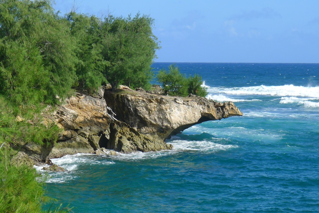
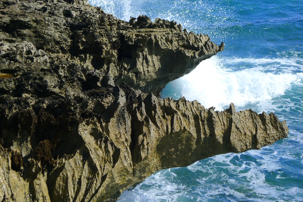
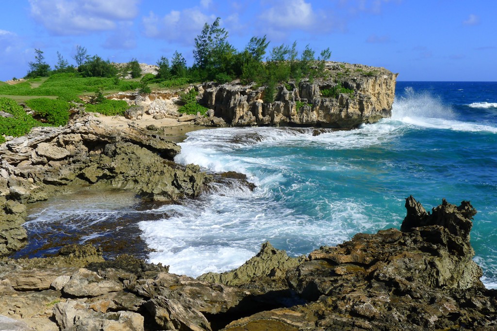
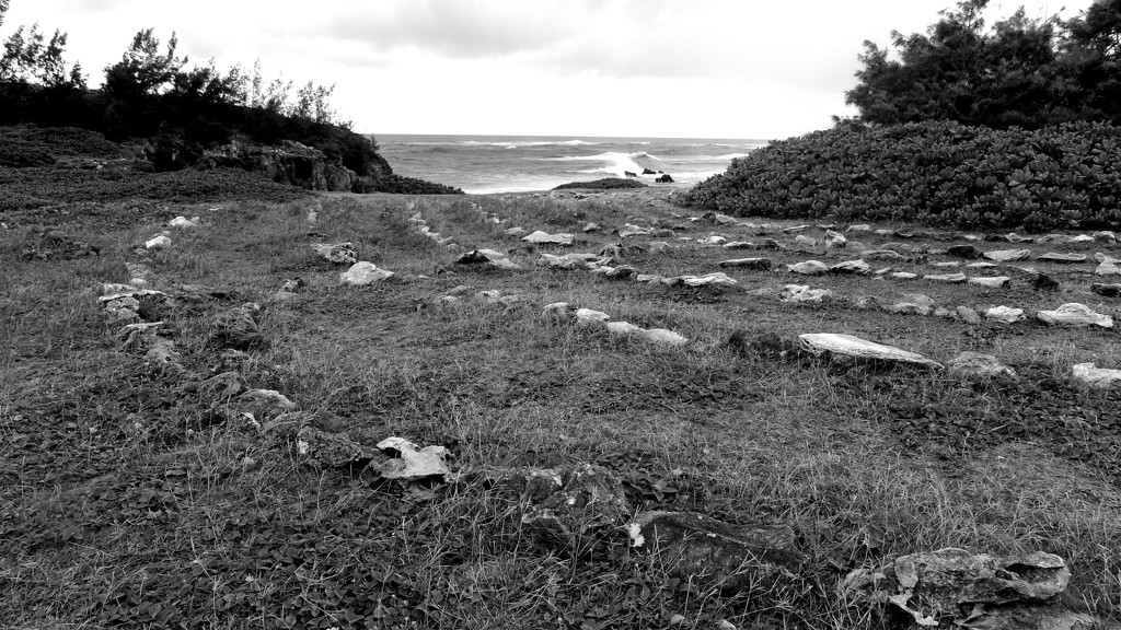
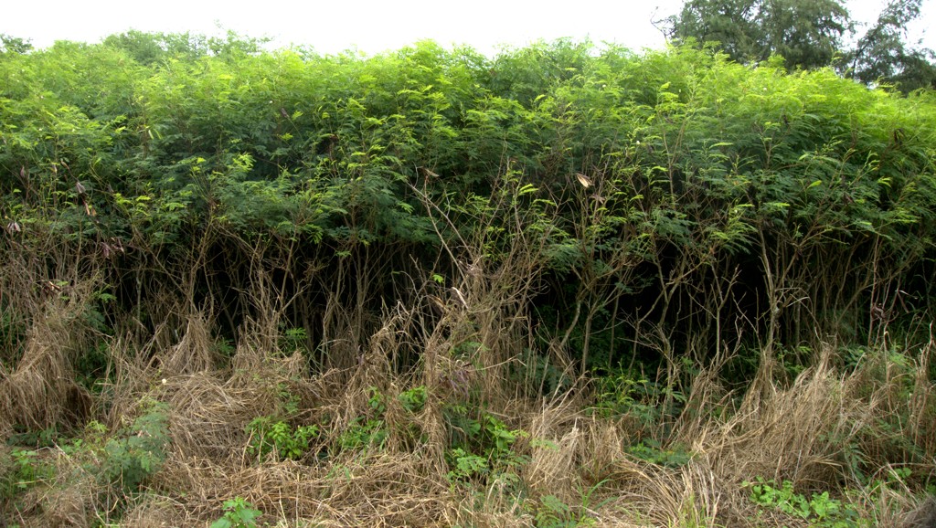
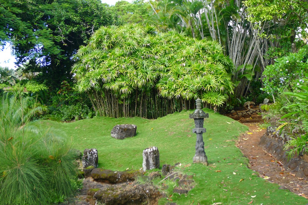
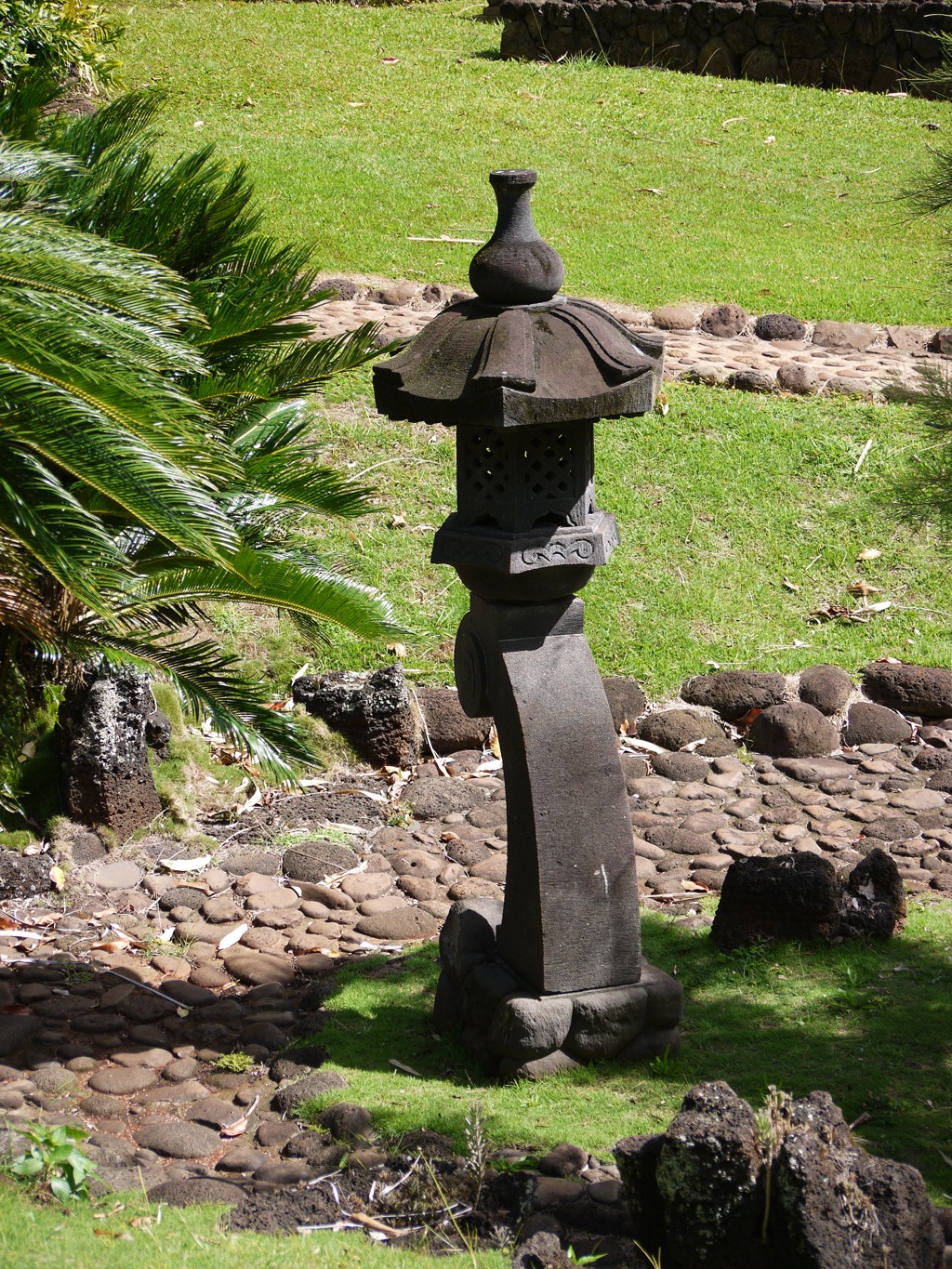
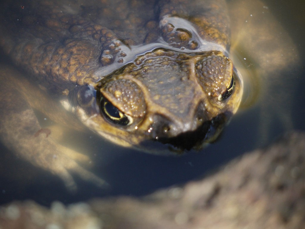
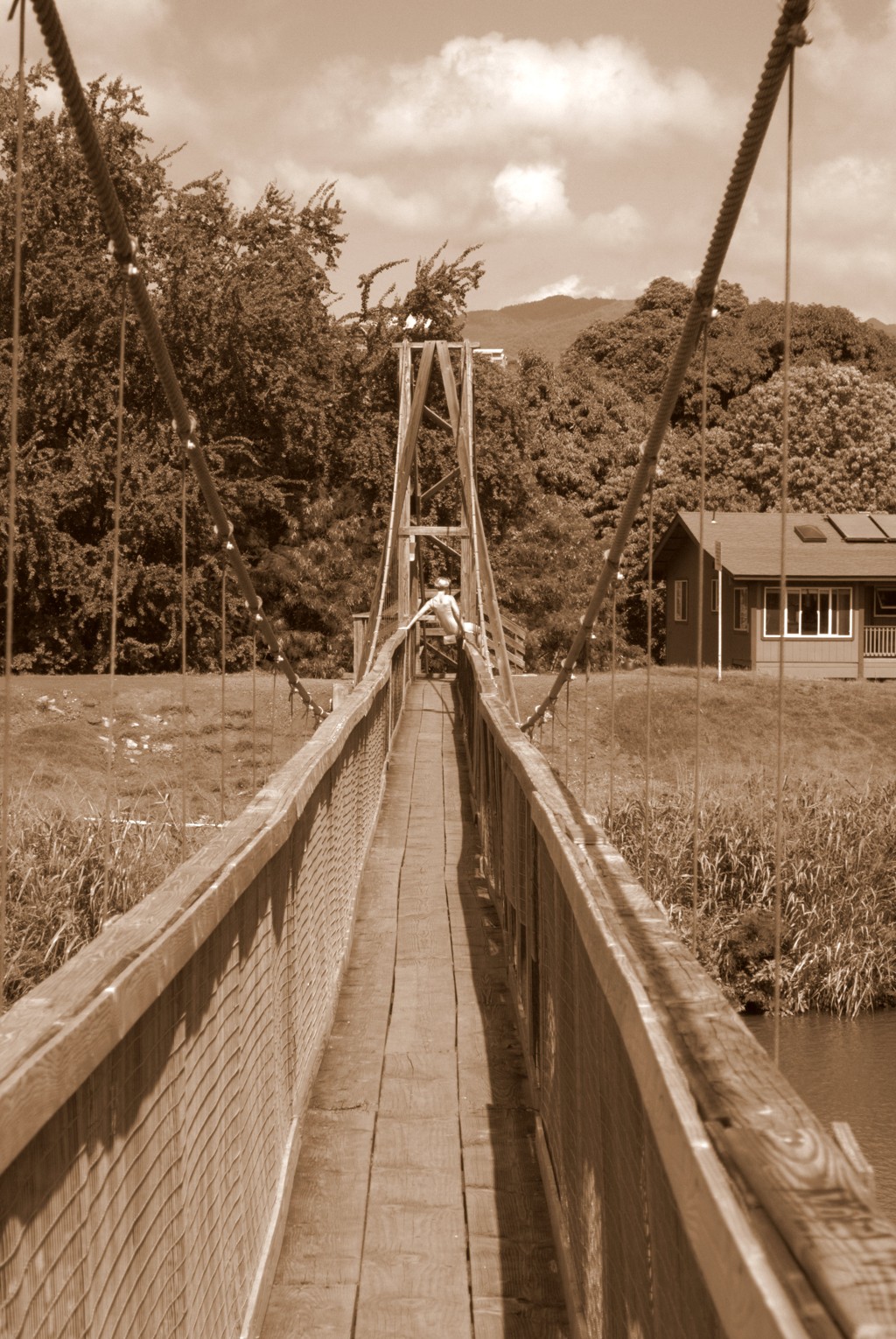
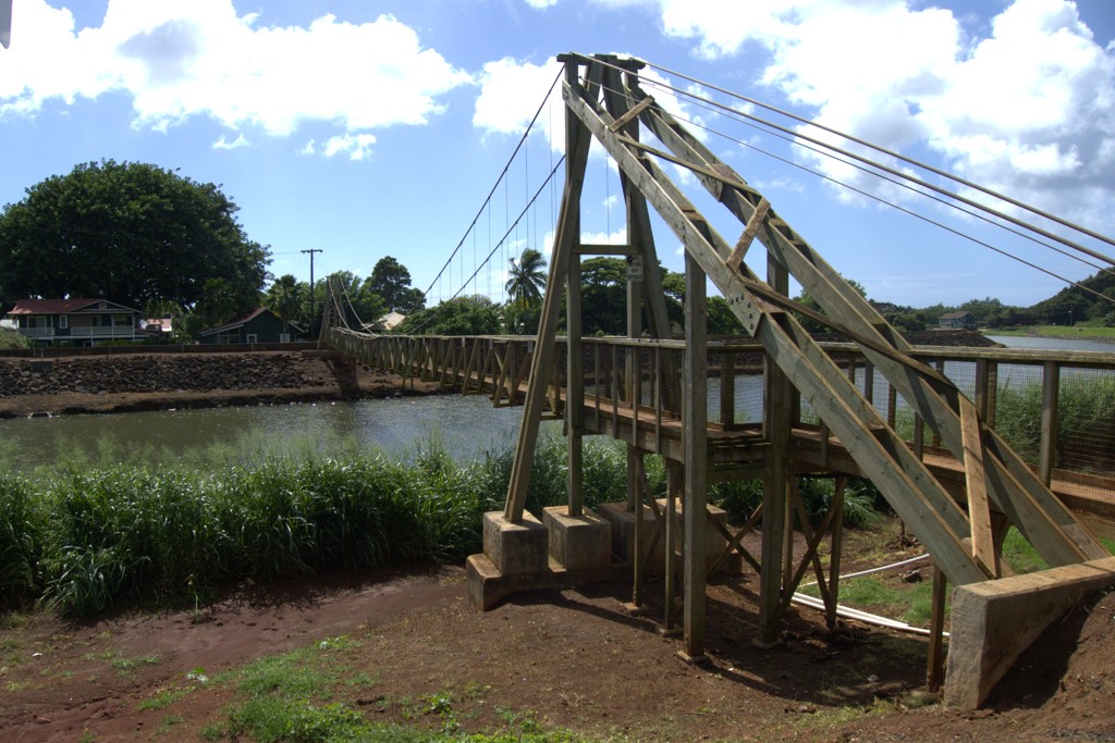
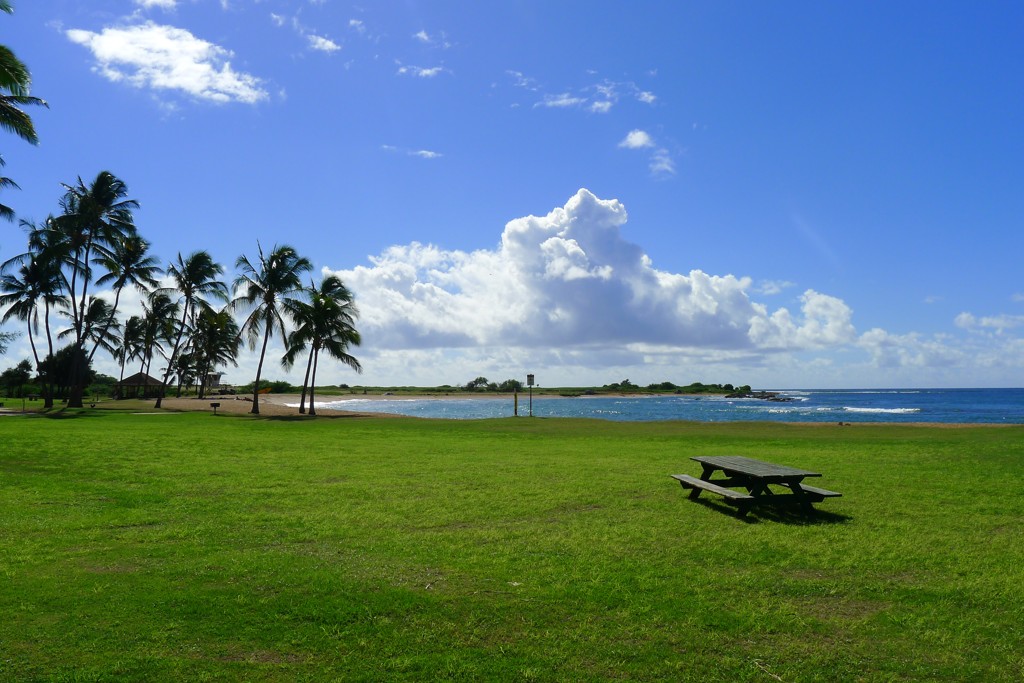
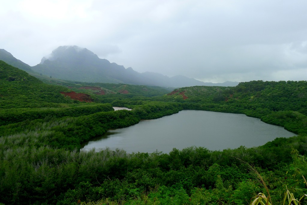
and it'll pass by rather scenic-looking lake with some mystical importance for the native population - Menehune Fishpond:
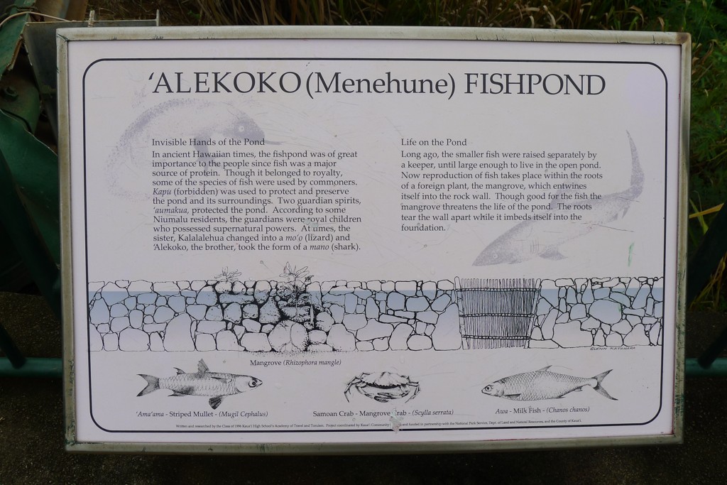
Should you become curious, some information is provided:
A few miles later, you'll turn to Puhi Rd., which will take you to Hwy 50 - the main throughfare of the South of Kauai.
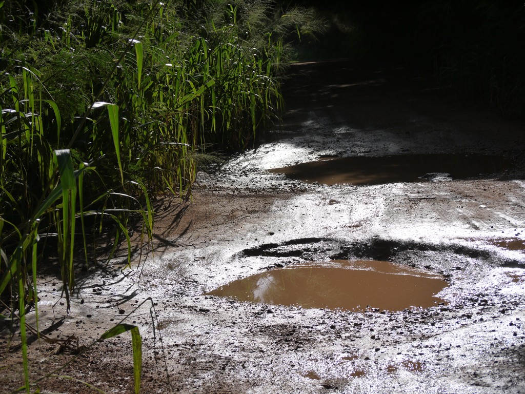
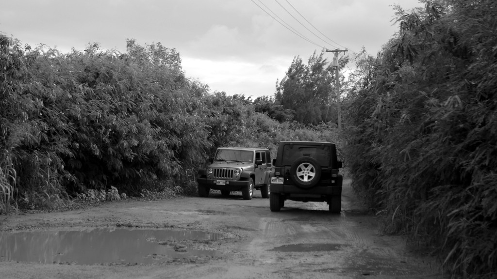
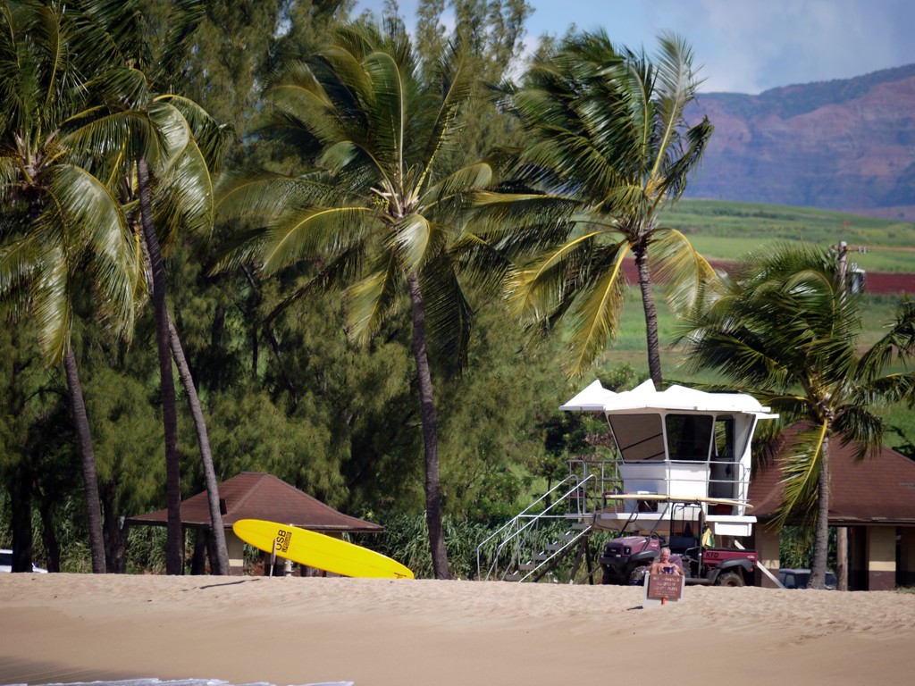
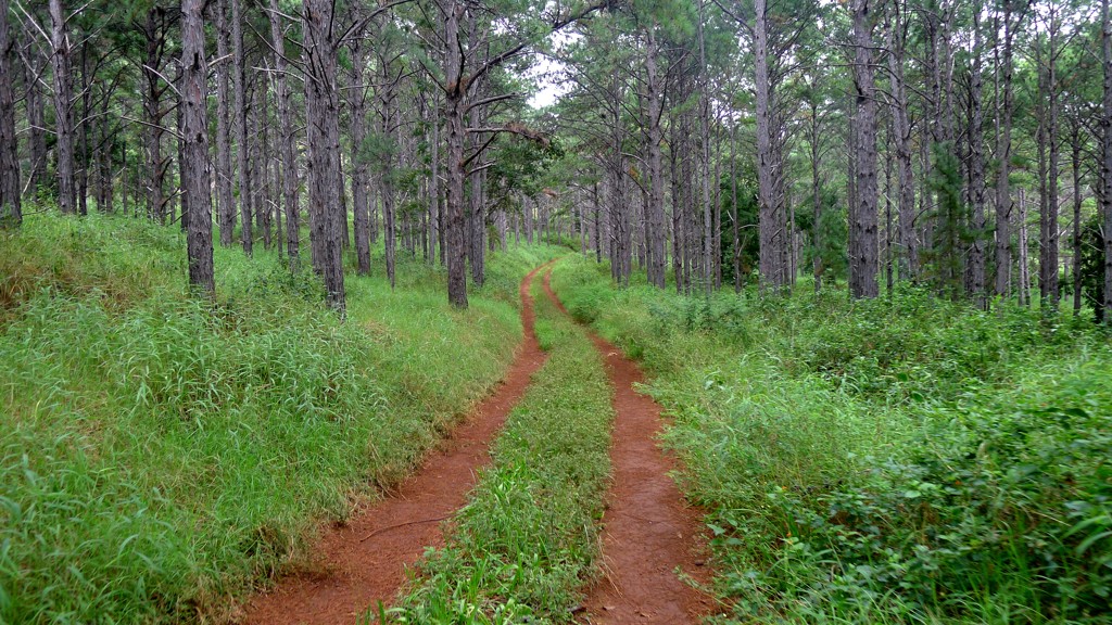
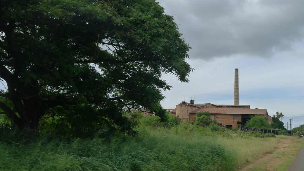
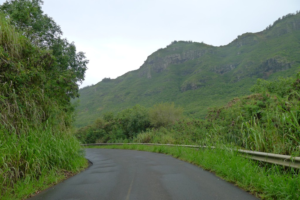
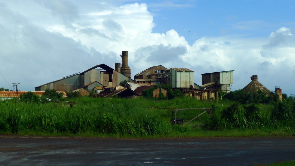
By the way, if you have a habit of trusting the GPS (or smart phone, for that matter), don't - it'll show plenty of roads from this area to Poipu. All these roads will be gated shut, and in the middle of several square miles' expanse there's a gloomy-looking sugar mill:
We'll come back to these roads yet.
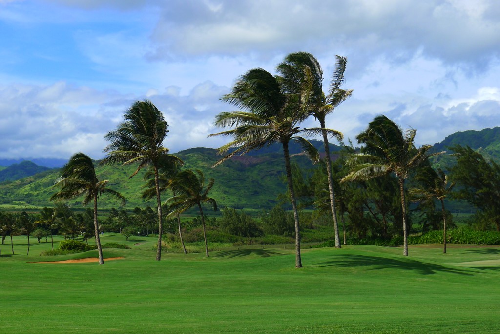
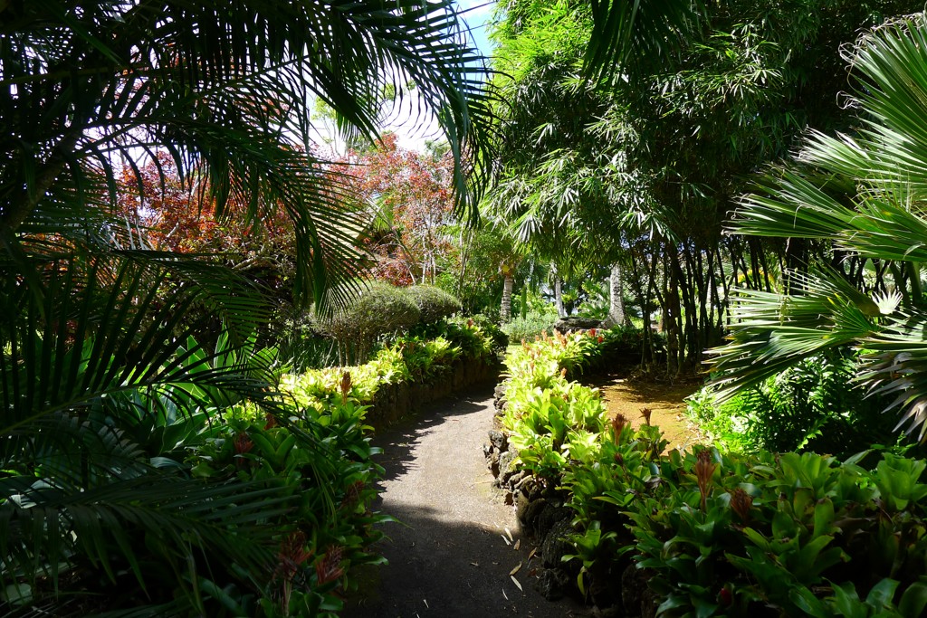
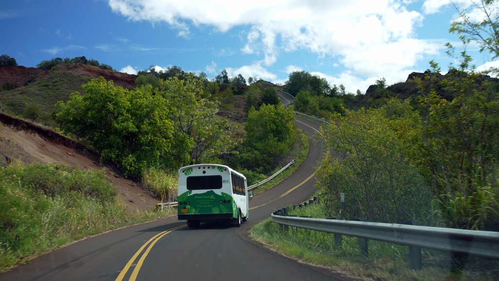
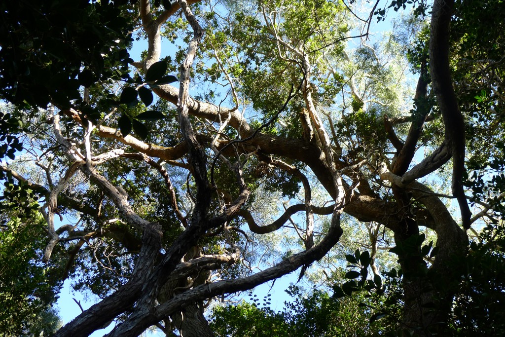
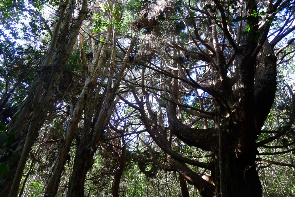
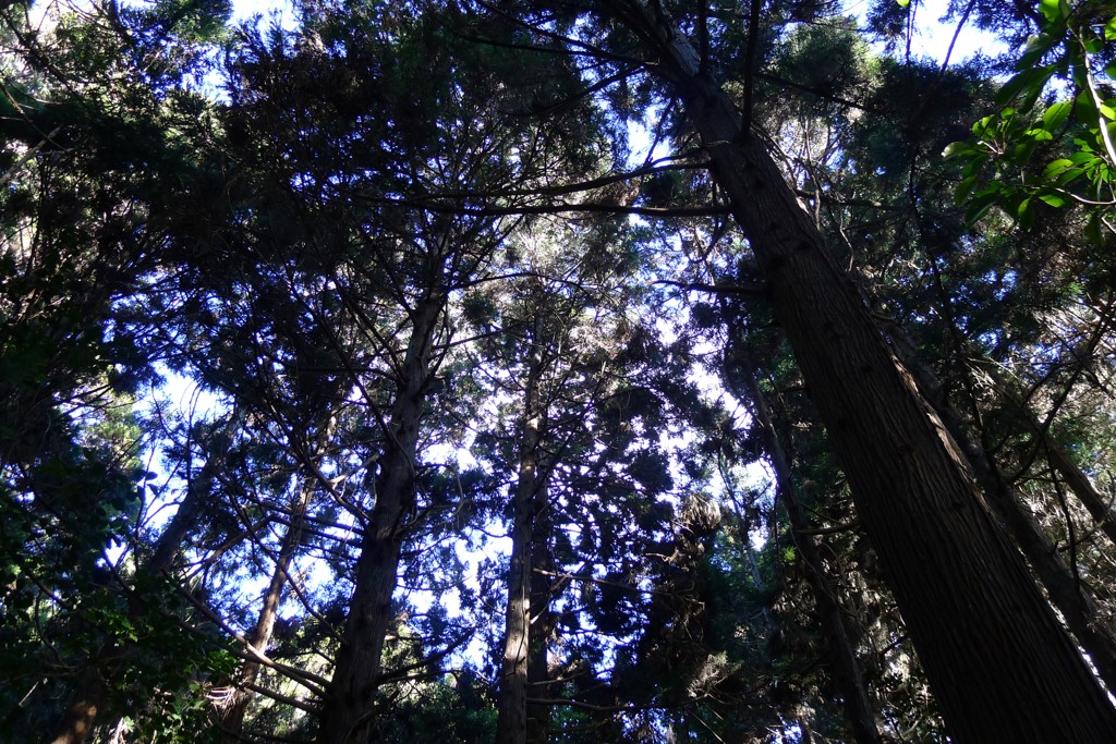
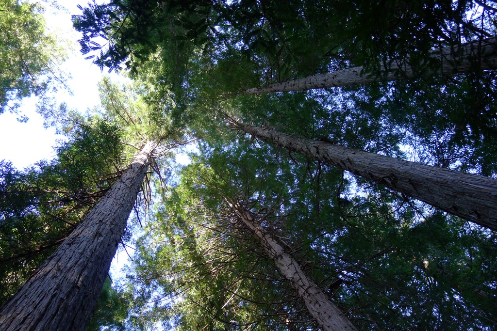
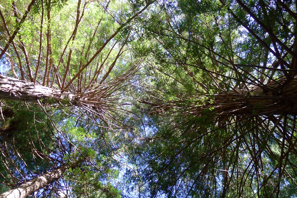
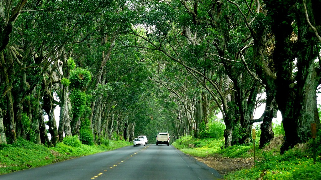
On your way to Poipu you'll turn left on 50, and enjoy a relaxed traffic until the left turn to Highway 520 into Koloa and Poipu. If it isn't raining cats and dogs, you might enjoy the eucaliptus tree alley, planted about hundred or so years ago during the heyday of Koloa Plantation:
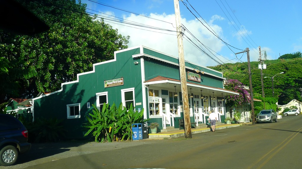
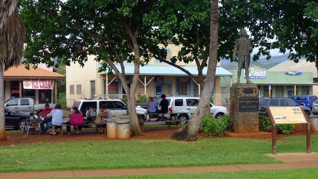
Koloa
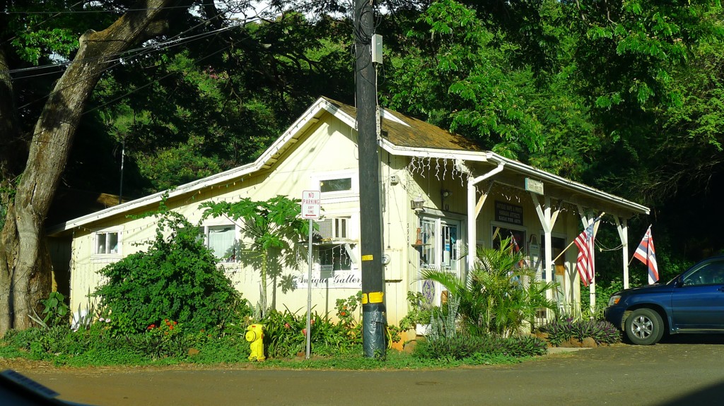
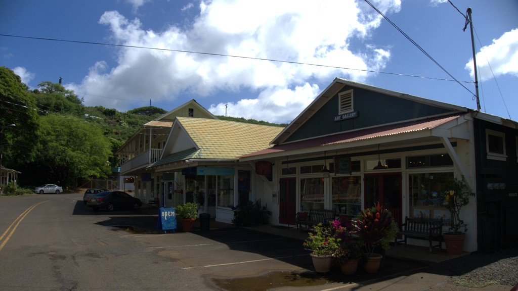
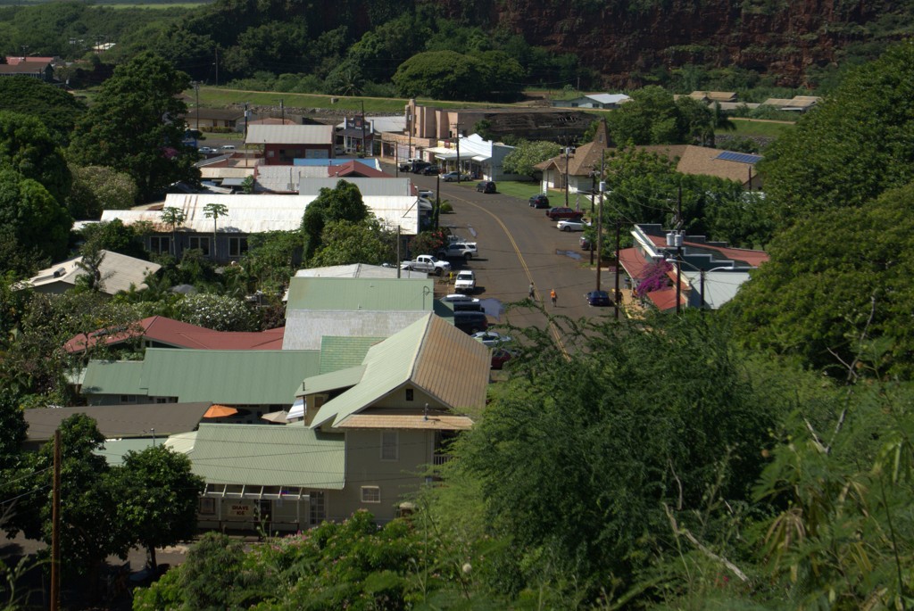
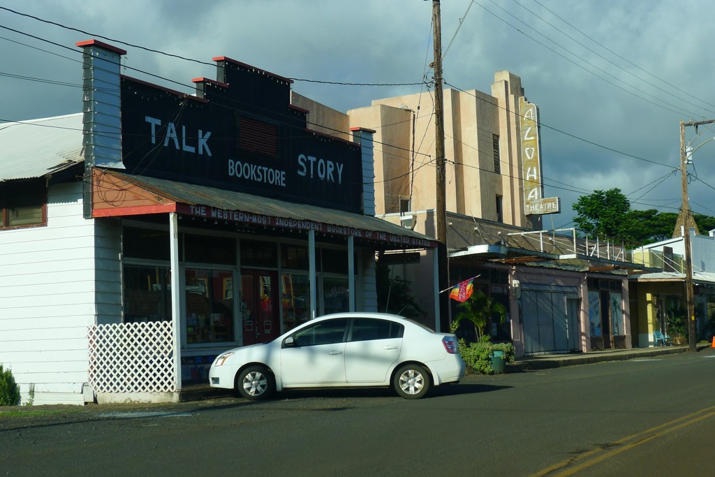
If you are in no hurry, stop by the old town Koloa and walk all of a thousand feet of its main street.
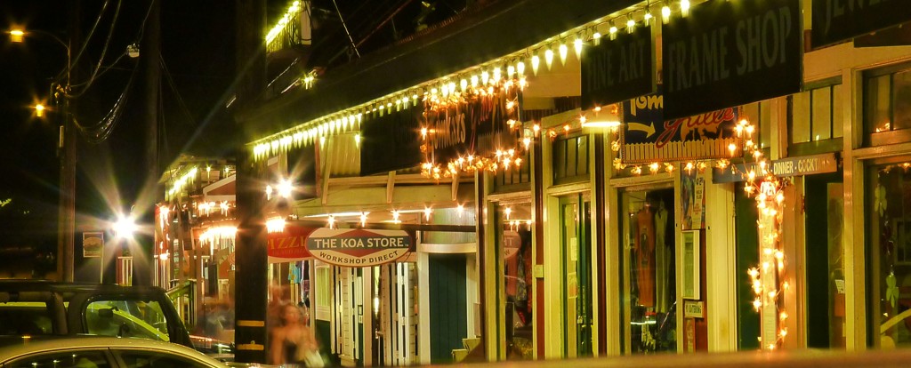
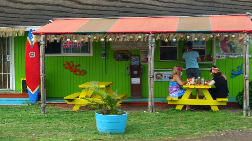
There's a few cafes, an expensive and mediocre italian restaurant, gazillion of places selling expensive trinkets, and a ten-square-feet museum of Koloa. The real treat is this, however - a tiny shop calledKoloa Fish Market. You'll notice numerous window stickers including "Zagat Rated" and the like. The posted working hours are from 10 to 3 (or was it 5?) - in any case, after three in the afternoon you won't find much besides smoked marlin and sodas.
The main thing in the menu - Poke - is awesome. Wasabi Ahi Poke and Avocado Ahi Poke were my favorites - after a mistake with smoked marlin poke. The shop is cash-only, so plan accordingly.
Past Koloa, your road towards the coast depends on which of the overpriced hotels has the firm grasp on your credit card. Grand Hyatt, Marriott, and Koa Kea are marginally faster to get to via Aha Kinoiki Rd. (continuation of the same 520 that you took to Koloa); Sheraton's a few seconds faster via Poipu Rd.
If you're The Government, the hotels agree on the same set price of $305 a day, before taxes and fees - but don't expect to rack up any Marriott Rewards and the like. If you are a family with the kids, you'd be much better off renting a condo or a B&B - but you know this already.
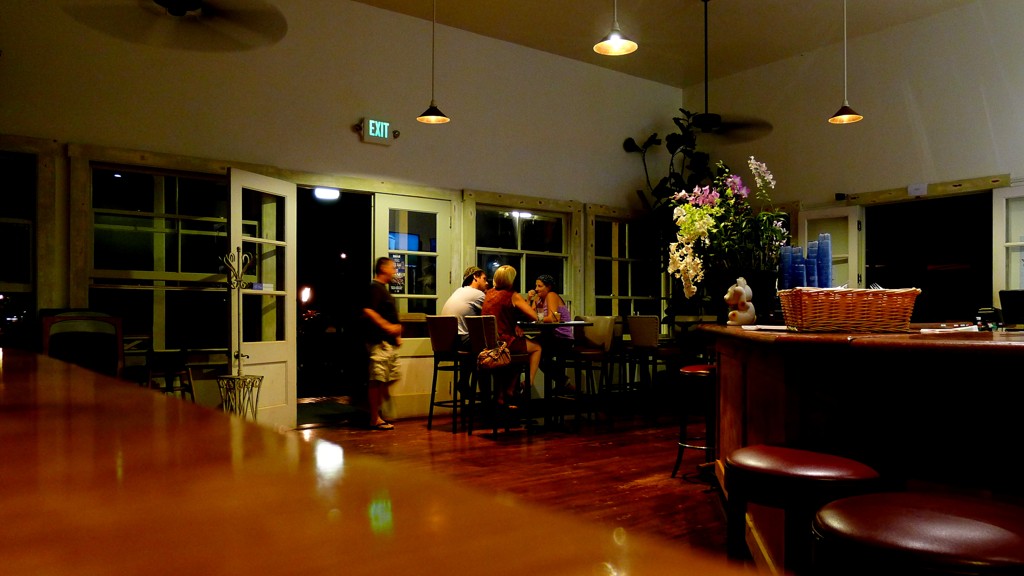
I'd stoke your interest in Grand Hyatt nonetheless - stop by at least to take a look inside, it's worth it. A hotel bar will be happy to offer you a shot of 12-year-old Macallan for a mere $40 (before taxes).
Sometimes the stay in one of these places becomes long enough to allow some unplanned exploration of local geography.
This trip to Kauai came after two previous trips - with the family and work-related - so I was roughly familiar with the touristy parts of the island. So, instead of a "adventure report," I'll list a few places that are not considered glamorous enough to be inundated by nature-loving crowds. This list is organized geographically - East to West along the Southern shores of the Island, from Lihue to Polihale Beach.
Lihue
Lihue is the place you arrive to in Kauai (unless you get a privilege of being ferried on a Lear from other islands to Hanalei Bay or on a C-17 to Barking Sands). It has all you can possibly need - supermarkets, big box stores, Starbucks (why would you go there in Kauai?), and more than a handful of bars and restaurants. I failed to discover the red (or purple?) light district - some other time.
If your way from Lihue is to one of ridiculously-expensive hotels in Poipu, you may take a little detour. From the airport, take a left on Hwy 51, which becomes 58 (Nawiliwili Road), and turn left to Wilcox Rd. This one, in its turn, will change name to Kanoa Rd and then to Waapa Rd. The road will take you by the passenger terminal (sometimes with a view of a cruise ship the size of Lihue), by local marina with all five or ten sail and fishing boats, tiny park, and will rename itself yet again to Hulemalu Rd. The road will become narrow and twisted -
and it'll pass by rather scenic-looking lake with some mystical importance for the native population - Menehune Fishpond:
Should you become curious, some information is provided:
A few miles later, you'll turn to Puhi Rd., which will take you to Hwy 50 - the main throughfare of the South of Kauai.
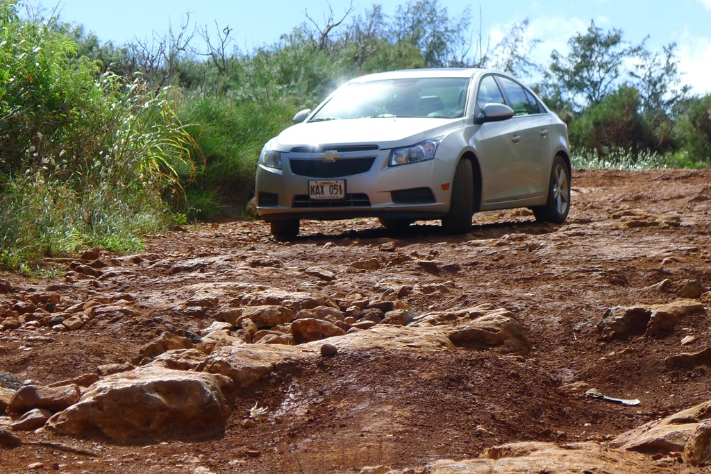
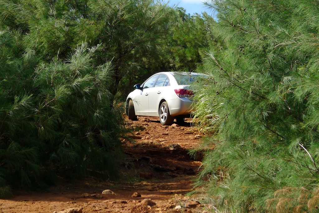
By the way, if you have a habit of trusting the GPS (or smart phone, for that matter), don't - it'll show plenty of roads from this area to Poipu. All these roads will be gated shut, and in the middle of several square miles' expanse there's a gloomy-looking sugar mill:
We'll come back to these roads yet.
On your way to Poipu you'll turn left on 50, and enjoy a relaxed traffic until the left turn to Highway 520 into Koloa and Poipu. If it isn't raining cats and dogs, you might enjoy the eucaliptus tree alley, planted about hundred or so years ago during the heyday of Koloa Plantation:
Koloa
If you are in no hurry, stop by the old town Koloa and walk all of a thousand feet of its main street.
There's a few cafes, an expensive and mediocre italian restaurant, gazillion of places selling expensive trinkets, and a ten-square-feet museum of Koloa. The real treat is this, however - a tiny shop calledKoloa Fish Market. You'll notice numerous window stickers including "Zagat Rated" and the like. The posted working hours are from 10 to 3 (or was it 5?) - in any case, after three in the afternoon you won't find much besides smoked marlin and sodas.
The main thing in the menu - Poke - is awesome. Wasabi Ahi Poke and Avocado Ahi Poke were my favorites - after a mistake with smoked marlin poke. The shop is cash-only, so plan accordingly.
Past Koloa, your road towards the coast depends on which of the overpriced hotels has the firm grasp on your credit card. Grand Hyatt, Marriott, and Koa Kea are marginally faster to get to via Aha Kinoiki Rd. (continuation of the same 520 that you took to Koloa); Sheraton's a few seconds faster via Poipu Rd.
If you're The Government, the hotels agree on the same set price of $305 a day, before taxes and fees - but don't expect to rack up any Marriott Rewards and the like. If you are a family with the kids, you'd be much better off renting a condo or a B&B - but you know this already.
I'd stoke your interest in Grand Hyatt nonetheless - stop by at least to take a look inside, it's worth it. A hotel bar will be happy to offer you a shot of 12-year-old Macallan for a mere $40 (before taxes).