Explorer 1
Explorer 1
I ordered a new Esquif white water canoe from Canoe Colorado and instead of having them ship it out to me, I decided to make a trip out to Denver to pick it up. Two days there, two days back and a couple of days in between would work out fine. Taking the Sporstmobile we would check out a few roads less traveled and camp out along the way.
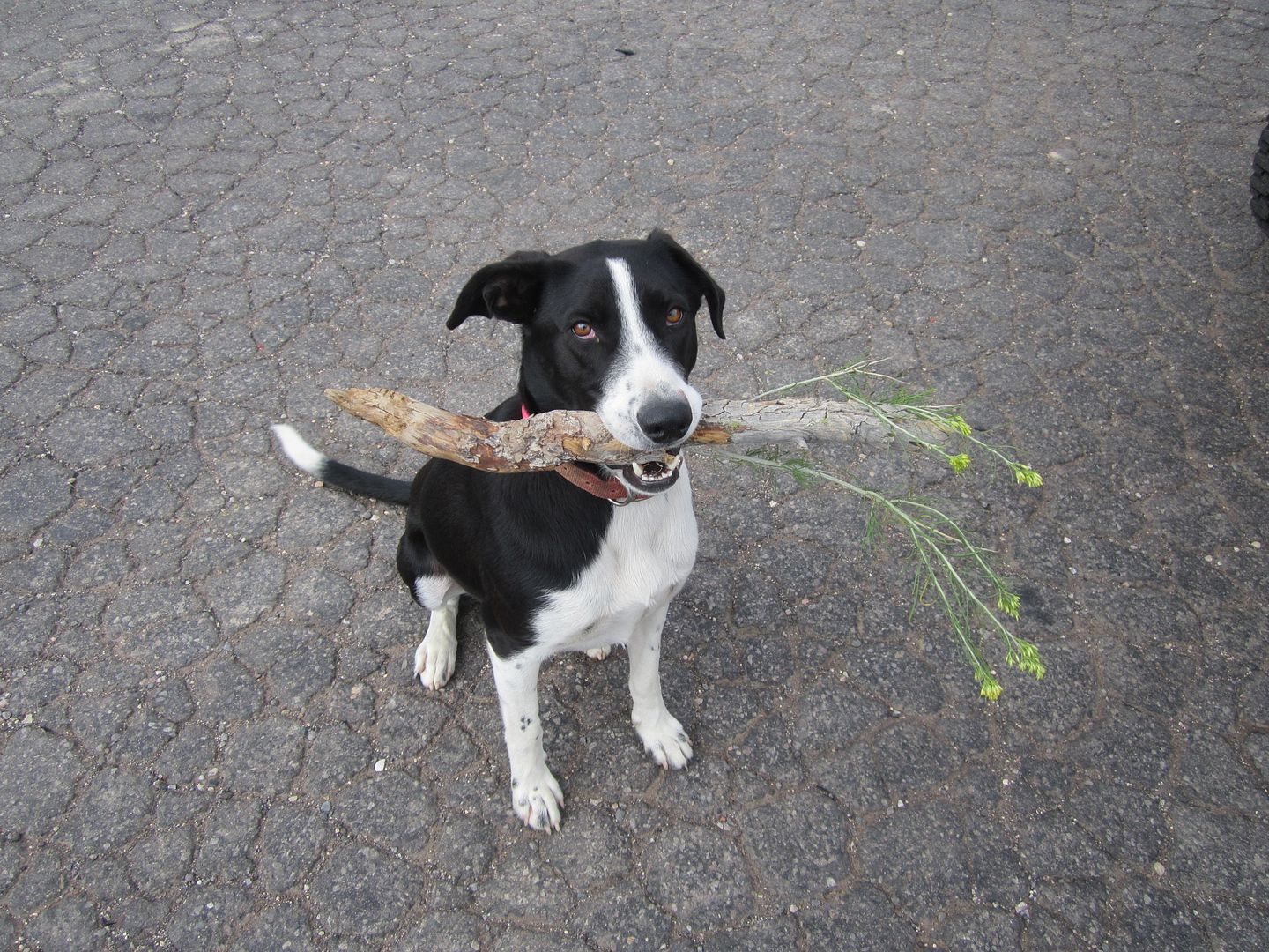
I say "we" as most of my trips exploring are solo, but now with retirement, my better half has decided to come along and has become quite the explorer, in addition our newest dog, Oreo a short haired Border Collie, seems to be cut out for travel so this will be his third traveling adventure to come along.
I tend to be a "point and shoot" kind of driver so with additional passengers, I'm having to adjust myself for a few more frequent stops along the way.
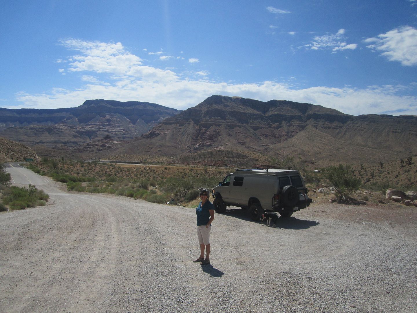
Stop one, Virgin River on I-15. This is about as much as 99.999% of the travelers through the Arizona Strip see of it. There's so much to be explored south of here along the North rim of the Grand Canyon. It is so cook'n hot here in August!
http://www.expeditionportal.com/forum/threads/60286-Arizona-Strip-64-gallons-later?highlight=
Making good time and fleeing the heat we decided to cut across leaving I-15 before we came to I-70 by taking a small obscure road outside of Beaver Utah numbered 153 east. This road takes you over the top of the Tushar Mountains. According to our information the center third of the road between I-15 and US Hwy 89 is unpaved. (the more the better). About 7 miles in, we learned that there had been some serious road damage to road number 153 and to cross the mountain we had to take a detour eventually working our way back to 153. Smaller road, less traveled, not even showing on our State map, it's really getting good!
Turns out this was FR 137 (forest road), a delightful road actually taking a shorter, and less traveled route over the mountain.
August can sometimes be the "monsoons" in the high altitudes in the west. Moist warm air rises and condenses turning into late afternoon scattered thunder showers. As we climbed we could see ahead that rain was coming down; how hard we didn't know. Soon our "less traveled" obscure dirt road was rather busy as we passed one trailer after another carrying mud laden ATV's and cycles down out of the mountain. It would appear that the deluge at higher altitudes had chased out many of the weekend off-roaders.
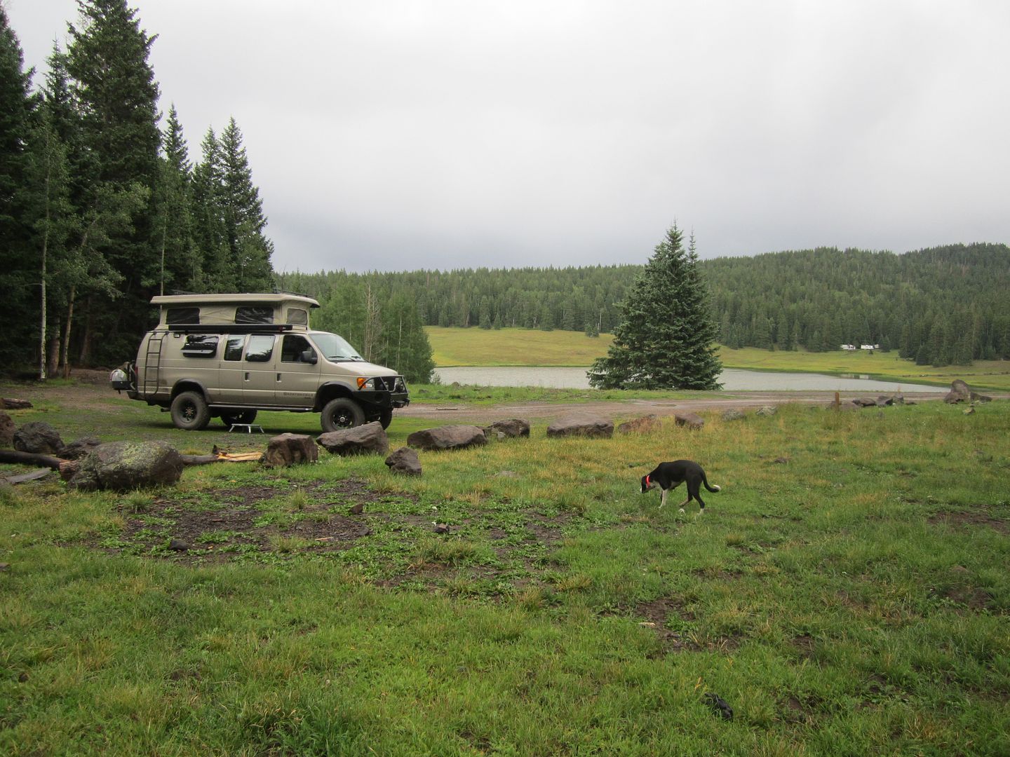
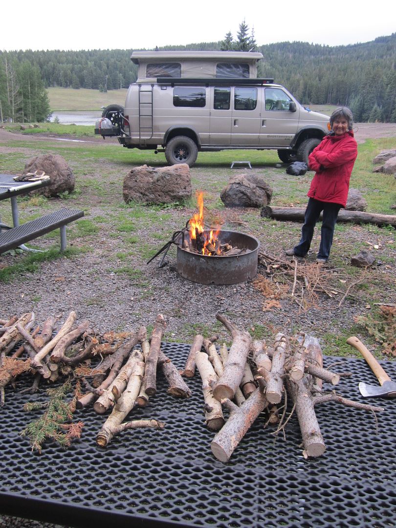
As we continued we passed some very nice man made smaller lakes made for the express purpose of trout fishing. Campgrounds and lakes not shown on the maps are every few miles along FR 137. One such lake and campground, Lebaron Lake became our camp spot for the night. We could tell that it had rained pretty had prior to our arrival by the size of the puddles in every depression on the road and the difficulty in starting a campfire with local soaked wood.
With some effort and using the picnic table as a drying table we were successful and enjoyed a clear evening with the star filled sky.
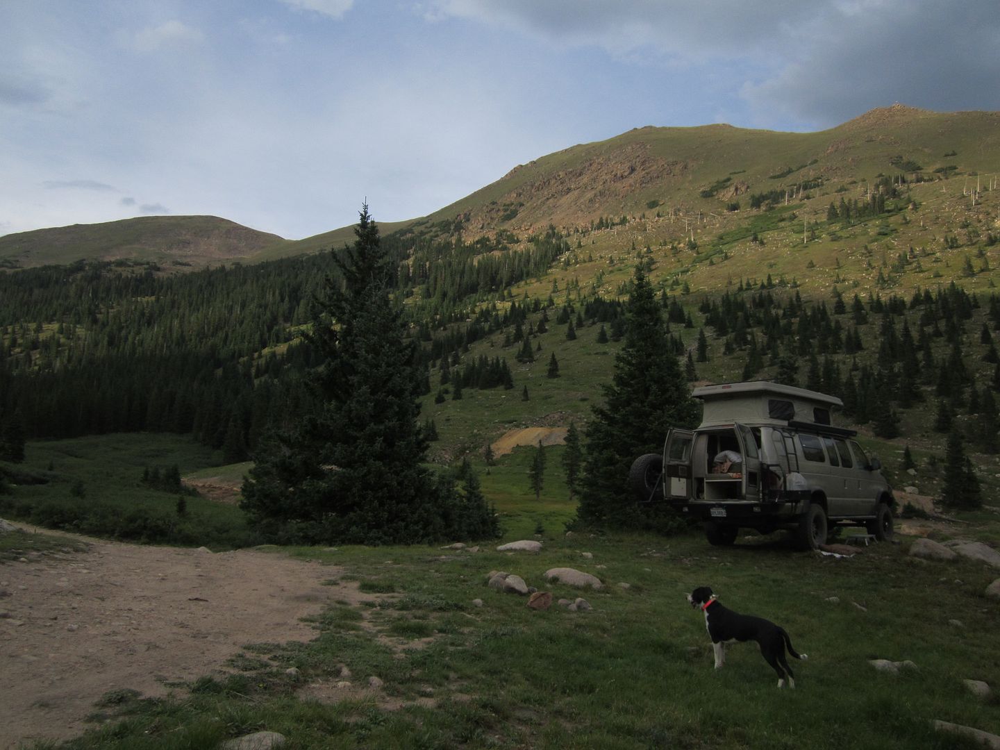
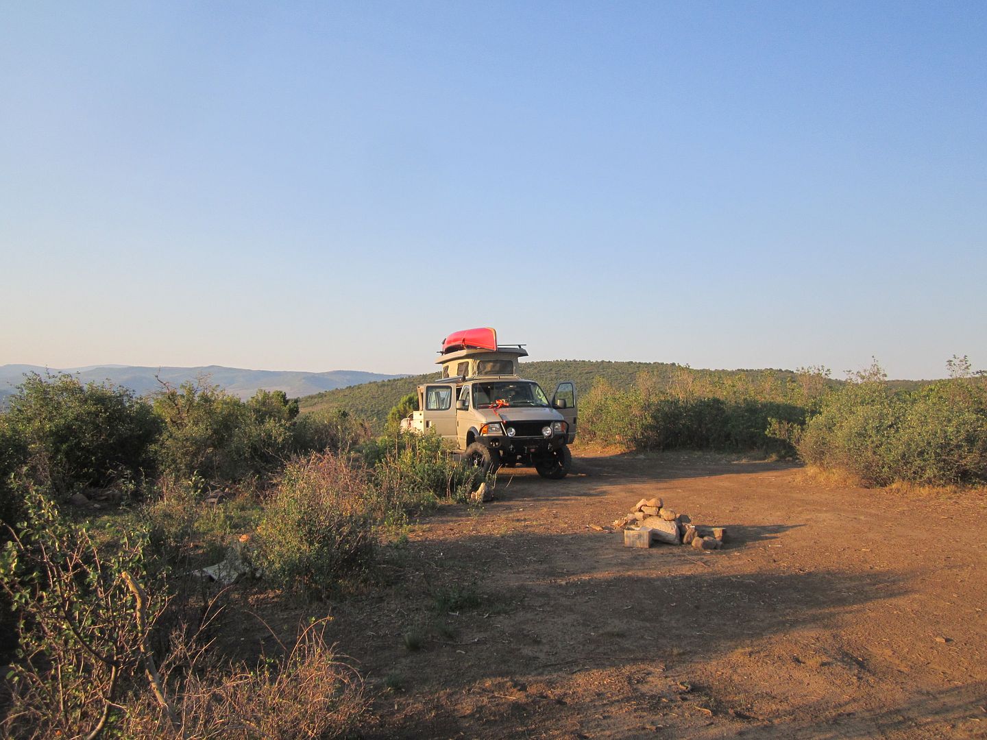
The next day we were off for Denver back on the Interstate. Not wanting to spend the night in Denver but close enough for picking up the canoe the next day, we exited I-70 at Hwy 40 and headed northwest toward Empire. A few miles in just as the road takes a sharp right turn and heads up the mountain there was a small road continuing up the canyon toward a large active mining operation. At the massive mine plant there is a small dirt road that continues to travel up the canyon and deteriorates to what I would consider a moderate off road trail. I later found out the name of the trail was Jones Pass Rd. After a few miles we came to a clearing where we could park the Sportsmobile on some fairly level ground and enjoy a nights rest and evening fire. Views west and south were great. Just across from our camping spot were signs (tailings) of mining activities years ago.
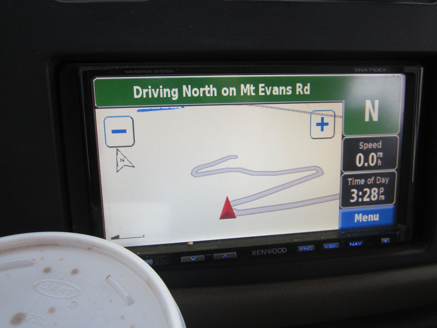
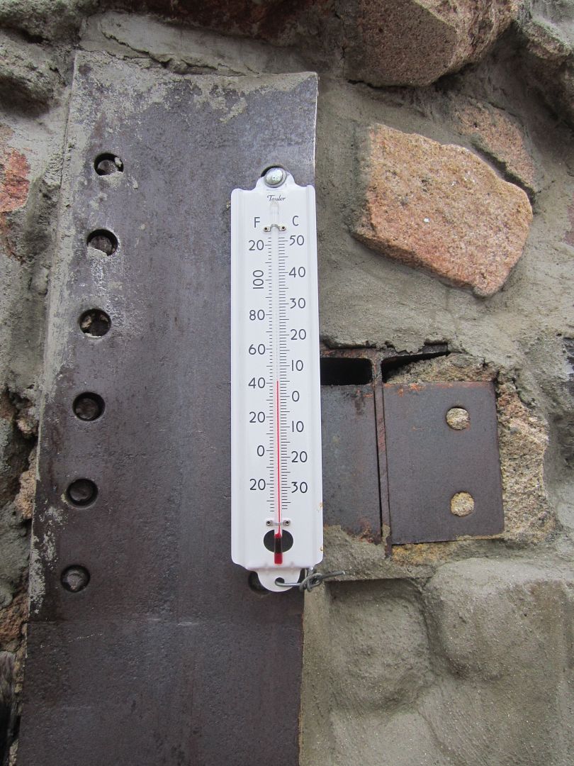
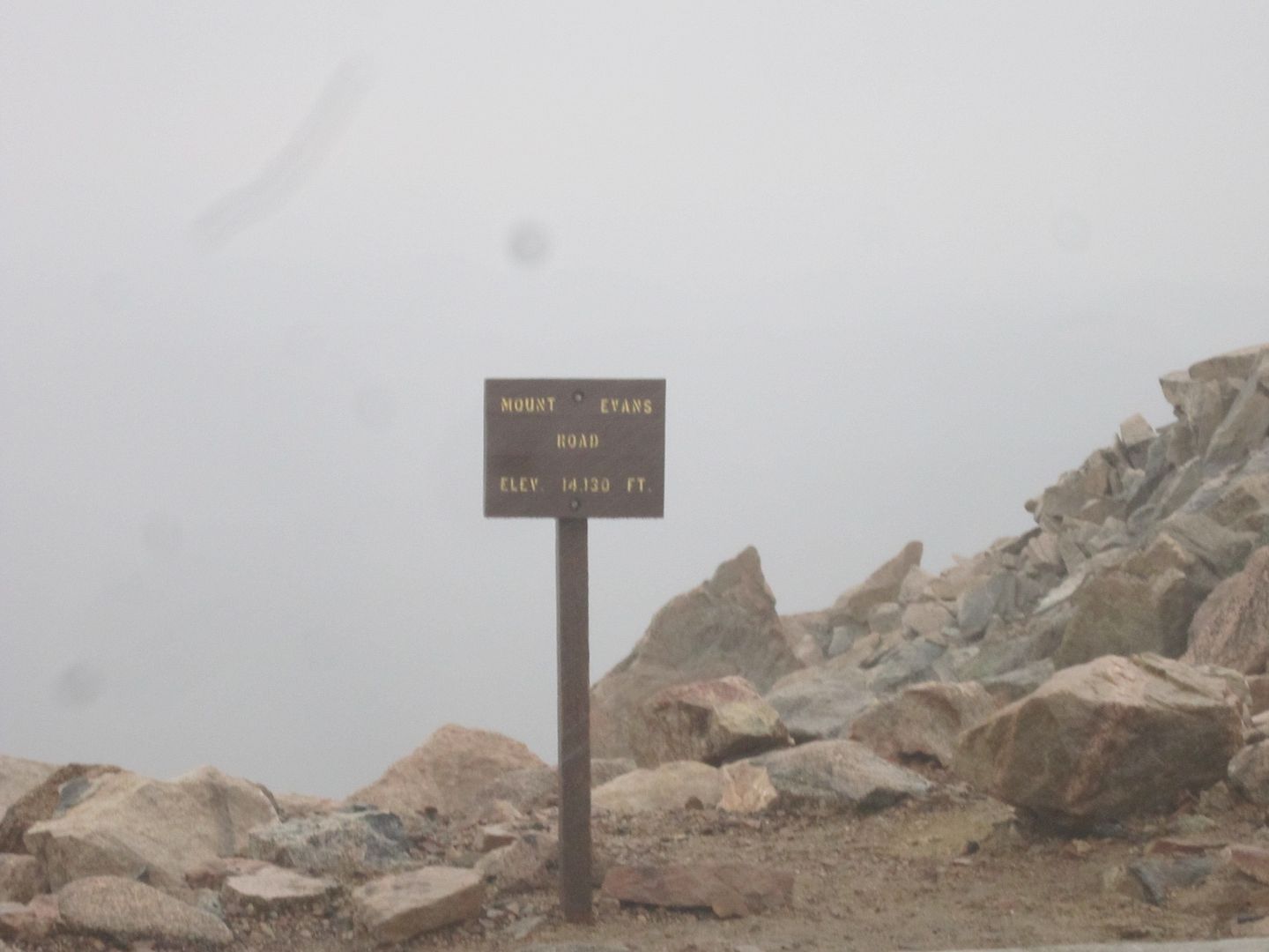
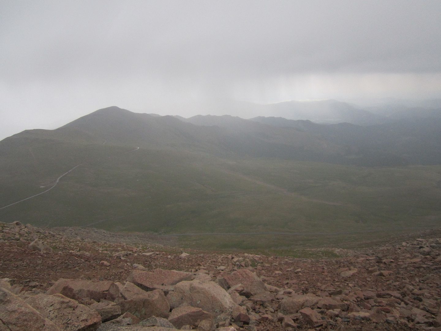
The next day while waiting for the modifications we ordered on the canoe, we killed some time by making our way up the highest road in North America, Mount Evans. The temps in Denver that day were a hot 95', on top of Mt. Evans it was a cool 40', that's a 55' drop!
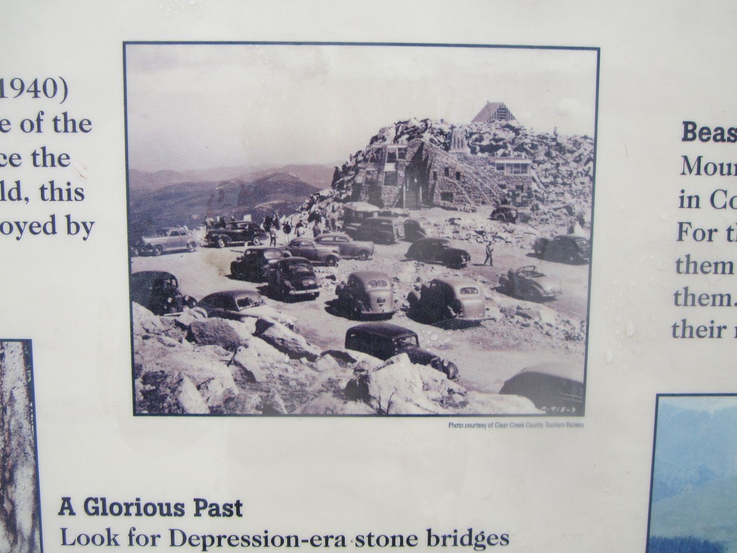
Mt Evans once hosted a small cafe on top until a propane fire burning the place down years ago. Now all that is left are the unique foundations and a few walls of this special place.
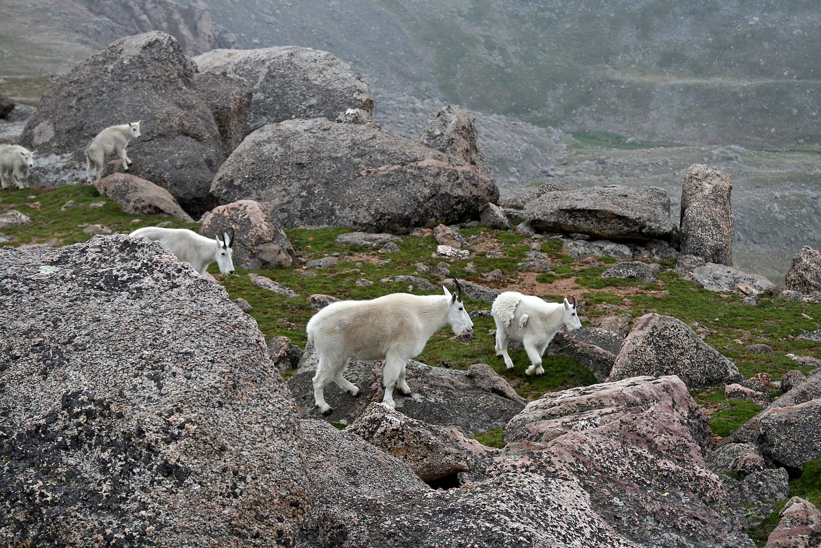
Wild Mountain Goats and Sheep wander near the road near the top.
One can't help but feel their heart beat a little faster as you walk around due to the elevation.
I'm sure on a clear day you can see forever, but on our visit those late afternoon thunder showers were around and made it seem like a autumn day instead of the middle of summer.
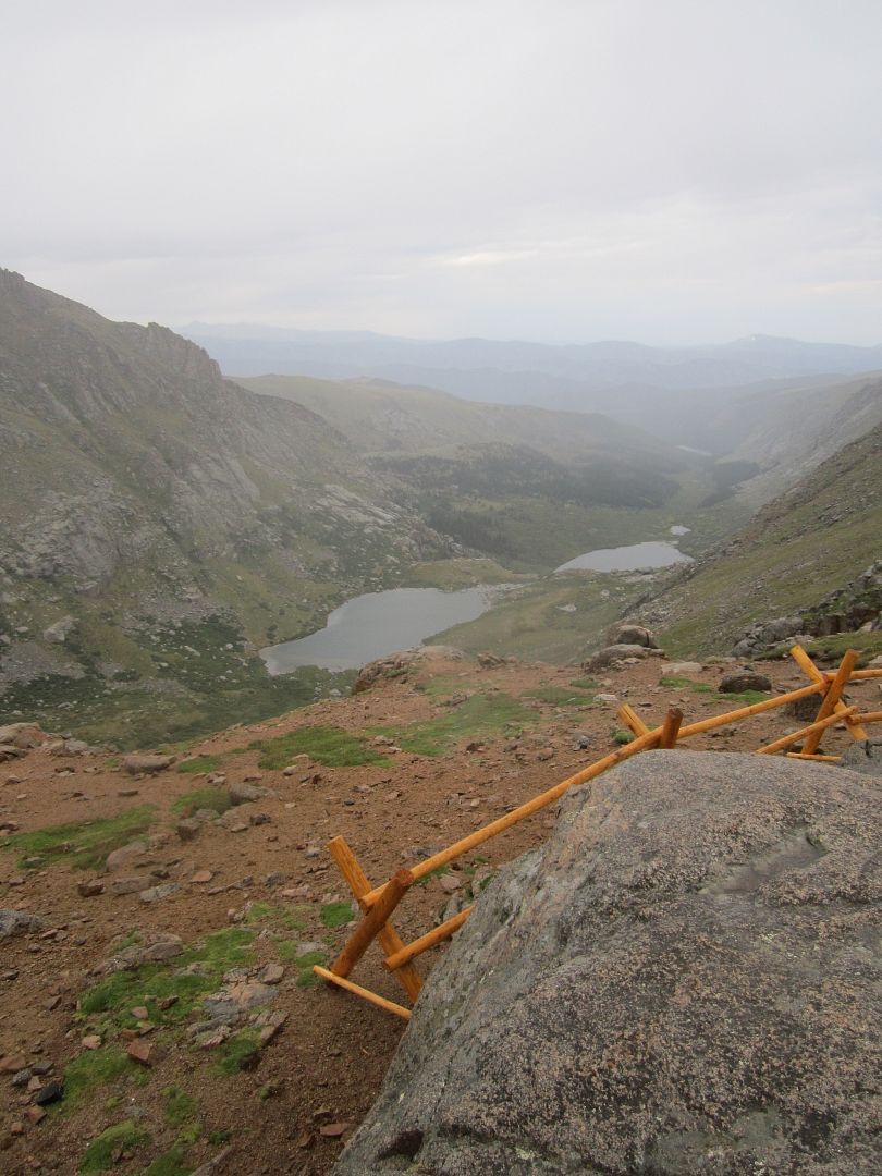
There are loads of great hikes on Mt Evans and if you're into downhill hiking one can travel from near the summit all the way down through a former glacier field passing a number of cold clear lakes.
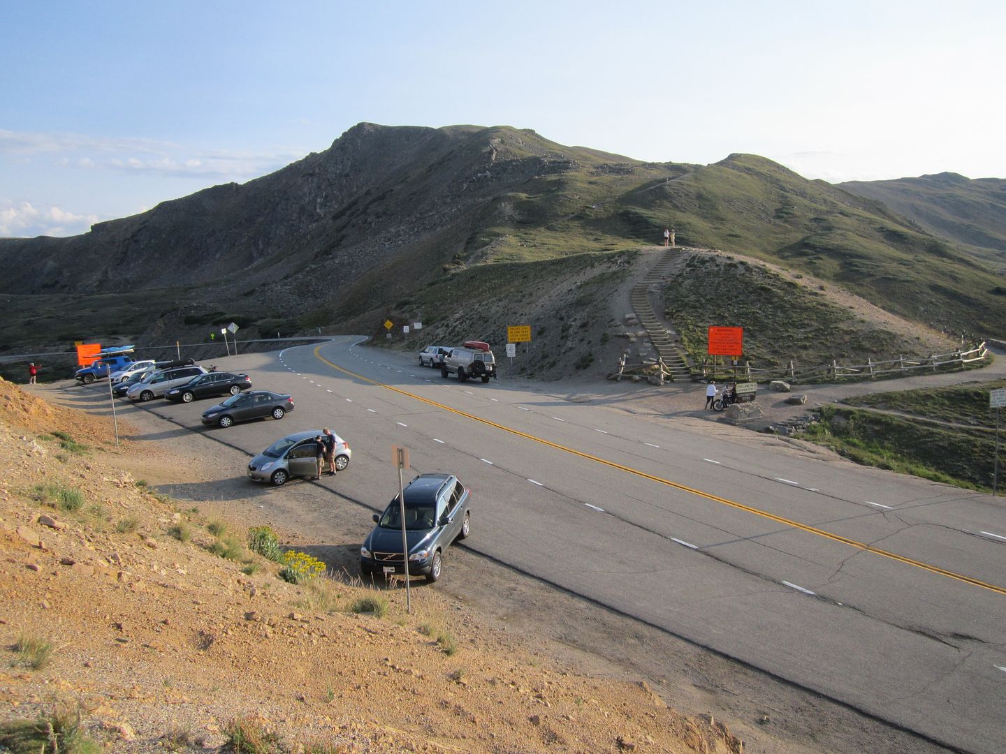
On the way into Denver we traveled through the Eisenhower Tunnel but after picking up our canoe we opted for the road less traveled over the mountain (Loveland Pass). Although this may be the road less traveled compared to the Interstate, it's definitely not a lonely road as on can see at the pass.
Wanting to get a good head start home that day but also wanting to camp somewhere where before we descended into the blistering hot western Colorado, we chose to exit I-70 where it meets the Colorado River near the very small community of Dotsero. From here we took Deep Creek Rd and then Coffee Pot Rd (County Rd 140) up the ridge a few thousand feet until we found clearing with a level spot. Too late and too tired for a campfire we settled in for a warmer-than-we-would-choose night with clear sky's and a canopy of stars.
The sun and heat woke us up rather early and we determined to get under way without breakfast so we could enjoy the air conditioning as we drove. Through the August heat on I-70 stopping only once in Fruita, Colorado to take advantage of the lower diesel fuel costs in Colorado. Once we hit US Highway 89 we once again left the Interstate heading south with the intentions of catching highway 14 west up over the Cedar Breaks and down to Cedar City Utah. Last year when we tried to take this route hwy 14 was closed by a massive landslide completely removing about a quarter of a mile of the road. I figured we could spend the night camping up the hill a short distance from Hwy 89 off on some dirt road off of hwy 14. There are loads of camping spots along Utah hwy 14 and we knew we'd have no problem finding a secluded spot to enjoy our last night out before arriving home the next day. Little did we know how quiet, secluded and alone we would have it.
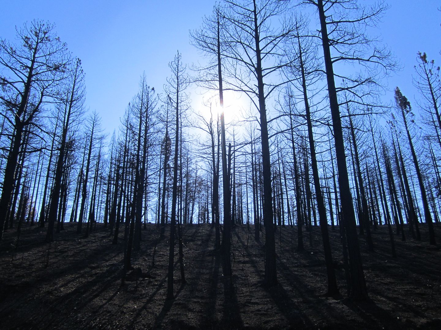
A few miles west from Long Valley Junction (Utah Hwy 14 & 89 junction) we took a left turn onto Stout Canyon road and in a short time we entered what appeared to be a fairly new burn zone. Unknown to us sometime in the past year a fire had raged through here leaving a bleak, empty soot smelling skeleton of what was once a flowing green forest of pine and Aspen trees. After a few miles we came to a lonely meadow which served as a kind of fire block so that a few of the pine and Aspen trees were saved. It was in this lone green spot that we camped surrounded by a black forest of sticks.
I had driven through burn zones before but never camped in one or really spent any time close up walking through one examining the damage.
First time beside the obvious absence of anything green was the smell, one could still smell the slight hint of smoke. I recent thunderstorm had left the ground damp and this dampness added to the pungent odor of smoke.
The next was the absence of the sounds associated with a forest. There weren't any squirrels or chipmunks scurrying around, or any birds singing. There ween't any bugs, flying or anywhere to be seen on the blackened ground, just complete silence.
The meadow area where we camped was kind of like a remote island of life where there were a couple of birds hanging out and a the normal bugs both flying and grounded but as you walked away from this island all traces of life disappeared.
Many of the places we walked the only sound was the crunching heard underfoot similar to walking on snow, but in this case it was charcoal bits and pieces.
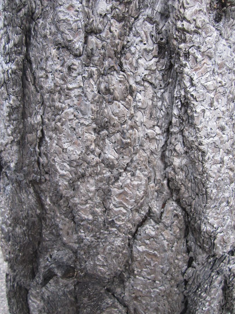
It was strange that while most of trees were bare of any pine needles the texture of their bark was still evident and looking as if some one had spray painted them with a big can of flat black paint.
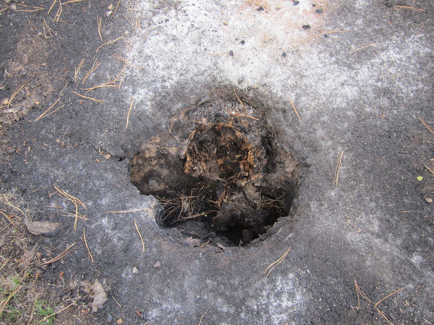
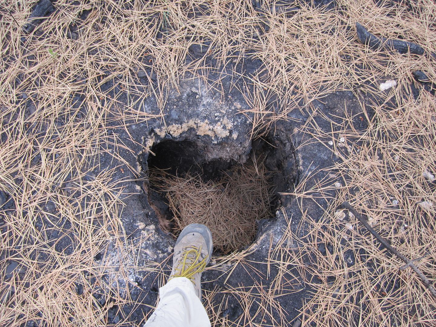
Walking along we would occasionally find holes in the ground, too large for the den of any burrowing creature. Upon closer examination we found that these holes were once filled with a trunk and roots of a tree that had been completely burned away. There was no trace anywhere of the tree that once stood; now only a gaping hole. I speculate that these trees had been damaged by the bark beetle and they had been dead for some time when the fire came along. Their core and bark were already dry and the fire completely consumed them.
It was an interesting stay in the burn zone, while surrounded by so much destruction there was also a strange kind of beauty all it own.
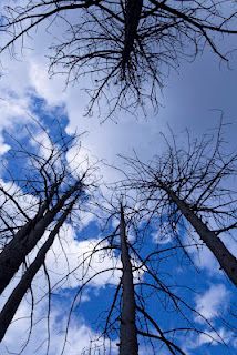
Light shining through through the burned trees made such a stark contrast:
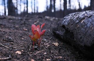
While death of this forest surrounded us, my wife pointed out that a closer look showed new life coming:
Thanks,
Fred
Explorer 1
For more reading check out my wife's take on the burned forest:
http://minataylor.blogspot.com/2012/08/august-9-2012-at-tail-end-of-our-canoe_9.html
I say "we" as most of my trips exploring are solo, but now with retirement, my better half has decided to come along and has become quite the explorer, in addition our newest dog, Oreo a short haired Border Collie, seems to be cut out for travel so this will be his third traveling adventure to come along.
I tend to be a "point and shoot" kind of driver so with additional passengers, I'm having to adjust myself for a few more frequent stops along the way.
Stop one, Virgin River on I-15. This is about as much as 99.999% of the travelers through the Arizona Strip see of it. There's so much to be explored south of here along the North rim of the Grand Canyon. It is so cook'n hot here in August!
http://www.expeditionportal.com/forum/threads/60286-Arizona-Strip-64-gallons-later?highlight=
Making good time and fleeing the heat we decided to cut across leaving I-15 before we came to I-70 by taking a small obscure road outside of Beaver Utah numbered 153 east. This road takes you over the top of the Tushar Mountains. According to our information the center third of the road between I-15 and US Hwy 89 is unpaved. (the more the better). About 7 miles in, we learned that there had been some serious road damage to road number 153 and to cross the mountain we had to take a detour eventually working our way back to 153. Smaller road, less traveled, not even showing on our State map, it's really getting good!
Turns out this was FR 137 (forest road), a delightful road actually taking a shorter, and less traveled route over the mountain.
August can sometimes be the "monsoons" in the high altitudes in the west. Moist warm air rises and condenses turning into late afternoon scattered thunder showers. As we climbed we could see ahead that rain was coming down; how hard we didn't know. Soon our "less traveled" obscure dirt road was rather busy as we passed one trailer after another carrying mud laden ATV's and cycles down out of the mountain. It would appear that the deluge at higher altitudes had chased out many of the weekend off-roaders.
As we continued we passed some very nice man made smaller lakes made for the express purpose of trout fishing. Campgrounds and lakes not shown on the maps are every few miles along FR 137. One such lake and campground, Lebaron Lake became our camp spot for the night. We could tell that it had rained pretty had prior to our arrival by the size of the puddles in every depression on the road and the difficulty in starting a campfire with local soaked wood.
With some effort and using the picnic table as a drying table we were successful and enjoyed a clear evening with the star filled sky.
The next day we were off for Denver back on the Interstate. Not wanting to spend the night in Denver but close enough for picking up the canoe the next day, we exited I-70 at Hwy 40 and headed northwest toward Empire. A few miles in just as the road takes a sharp right turn and heads up the mountain there was a small road continuing up the canyon toward a large active mining operation. At the massive mine plant there is a small dirt road that continues to travel up the canyon and deteriorates to what I would consider a moderate off road trail. I later found out the name of the trail was Jones Pass Rd. After a few miles we came to a clearing where we could park the Sportsmobile on some fairly level ground and enjoy a nights rest and evening fire. Views west and south were great. Just across from our camping spot were signs (tailings) of mining activities years ago.
The next day while waiting for the modifications we ordered on the canoe, we killed some time by making our way up the highest road in North America, Mount Evans. The temps in Denver that day were a hot 95', on top of Mt. Evans it was a cool 40', that's a 55' drop!
Mt Evans once hosted a small cafe on top until a propane fire burning the place down years ago. Now all that is left are the unique foundations and a few walls of this special place.
Wild Mountain Goats and Sheep wander near the road near the top.
One can't help but feel their heart beat a little faster as you walk around due to the elevation.
I'm sure on a clear day you can see forever, but on our visit those late afternoon thunder showers were around and made it seem like a autumn day instead of the middle of summer.
There are loads of great hikes on Mt Evans and if you're into downhill hiking one can travel from near the summit all the way down through a former glacier field passing a number of cold clear lakes.
On the way into Denver we traveled through the Eisenhower Tunnel but after picking up our canoe we opted for the road less traveled over the mountain (Loveland Pass). Although this may be the road less traveled compared to the Interstate, it's definitely not a lonely road as on can see at the pass.
Wanting to get a good head start home that day but also wanting to camp somewhere where before we descended into the blistering hot western Colorado, we chose to exit I-70 where it meets the Colorado River near the very small community of Dotsero. From here we took Deep Creek Rd and then Coffee Pot Rd (County Rd 140) up the ridge a few thousand feet until we found clearing with a level spot. Too late and too tired for a campfire we settled in for a warmer-than-we-would-choose night with clear sky's and a canopy of stars.
The sun and heat woke us up rather early and we determined to get under way without breakfast so we could enjoy the air conditioning as we drove. Through the August heat on I-70 stopping only once in Fruita, Colorado to take advantage of the lower diesel fuel costs in Colorado. Once we hit US Highway 89 we once again left the Interstate heading south with the intentions of catching highway 14 west up over the Cedar Breaks and down to Cedar City Utah. Last year when we tried to take this route hwy 14 was closed by a massive landslide completely removing about a quarter of a mile of the road. I figured we could spend the night camping up the hill a short distance from Hwy 89 off on some dirt road off of hwy 14. There are loads of camping spots along Utah hwy 14 and we knew we'd have no problem finding a secluded spot to enjoy our last night out before arriving home the next day. Little did we know how quiet, secluded and alone we would have it.
A few miles west from Long Valley Junction (Utah Hwy 14 & 89 junction) we took a left turn onto Stout Canyon road and in a short time we entered what appeared to be a fairly new burn zone. Unknown to us sometime in the past year a fire had raged through here leaving a bleak, empty soot smelling skeleton of what was once a flowing green forest of pine and Aspen trees. After a few miles we came to a lonely meadow which served as a kind of fire block so that a few of the pine and Aspen trees were saved. It was in this lone green spot that we camped surrounded by a black forest of sticks.
I had driven through burn zones before but never camped in one or really spent any time close up walking through one examining the damage.
First time beside the obvious absence of anything green was the smell, one could still smell the slight hint of smoke. I recent thunderstorm had left the ground damp and this dampness added to the pungent odor of smoke.
The next was the absence of the sounds associated with a forest. There weren't any squirrels or chipmunks scurrying around, or any birds singing. There ween't any bugs, flying or anywhere to be seen on the blackened ground, just complete silence.
The meadow area where we camped was kind of like a remote island of life where there were a couple of birds hanging out and a the normal bugs both flying and grounded but as you walked away from this island all traces of life disappeared.
Many of the places we walked the only sound was the crunching heard underfoot similar to walking on snow, but in this case it was charcoal bits and pieces.
It was strange that while most of trees were bare of any pine needles the texture of their bark was still evident and looking as if some one had spray painted them with a big can of flat black paint.
Walking along we would occasionally find holes in the ground, too large for the den of any burrowing creature. Upon closer examination we found that these holes were once filled with a trunk and roots of a tree that had been completely burned away. There was no trace anywhere of the tree that once stood; now only a gaping hole. I speculate that these trees had been damaged by the bark beetle and they had been dead for some time when the fire came along. Their core and bark were already dry and the fire completely consumed them.
It was an interesting stay in the burn zone, while surrounded by so much destruction there was also a strange kind of beauty all it own.
Light shining through through the burned trees made such a stark contrast:
While death of this forest surrounded us, my wife pointed out that a closer look showed new life coming:
Thanks,
Fred
Explorer 1
For more reading check out my wife's take on the burned forest:
http://minataylor.blogspot.com/2012/08/august-9-2012-at-tail-end-of-our-canoe_9.html