mav204
Observer
Expedition San Juan Mountains September 2021-Part 7-Poughkeepsie Gulch
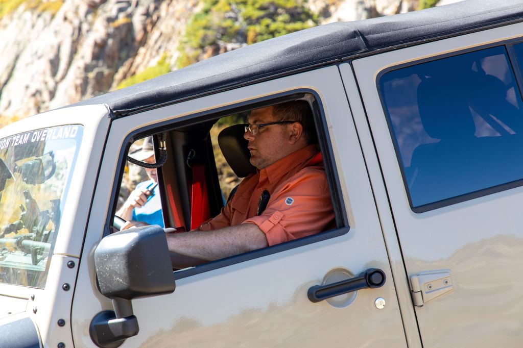
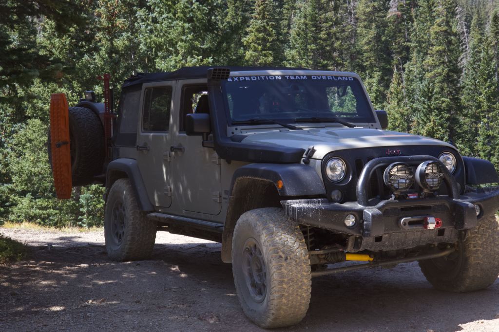
We start out day 5 of 4th expedition doing the most difficult trail in the Alpine loop. There are two obsticals om this trail that make it very difficult. A well build Jeep with lockers and winch a…
 blog.expeditionteamoverland.com
Expedition San Juan Mountains September 2021-Part 7-Poughkeepsie Gulch
We start out day 5 of 4th expedition doing the most difficult trail in the Alpine loop. There are two obsticals om this trail that make it very difficult. A well build Jeep with lockers and winch are pretty much required. If the “the Wall” is wet, even with lockers it can difficult to climb. There are established pinch points to help winch over the rock.
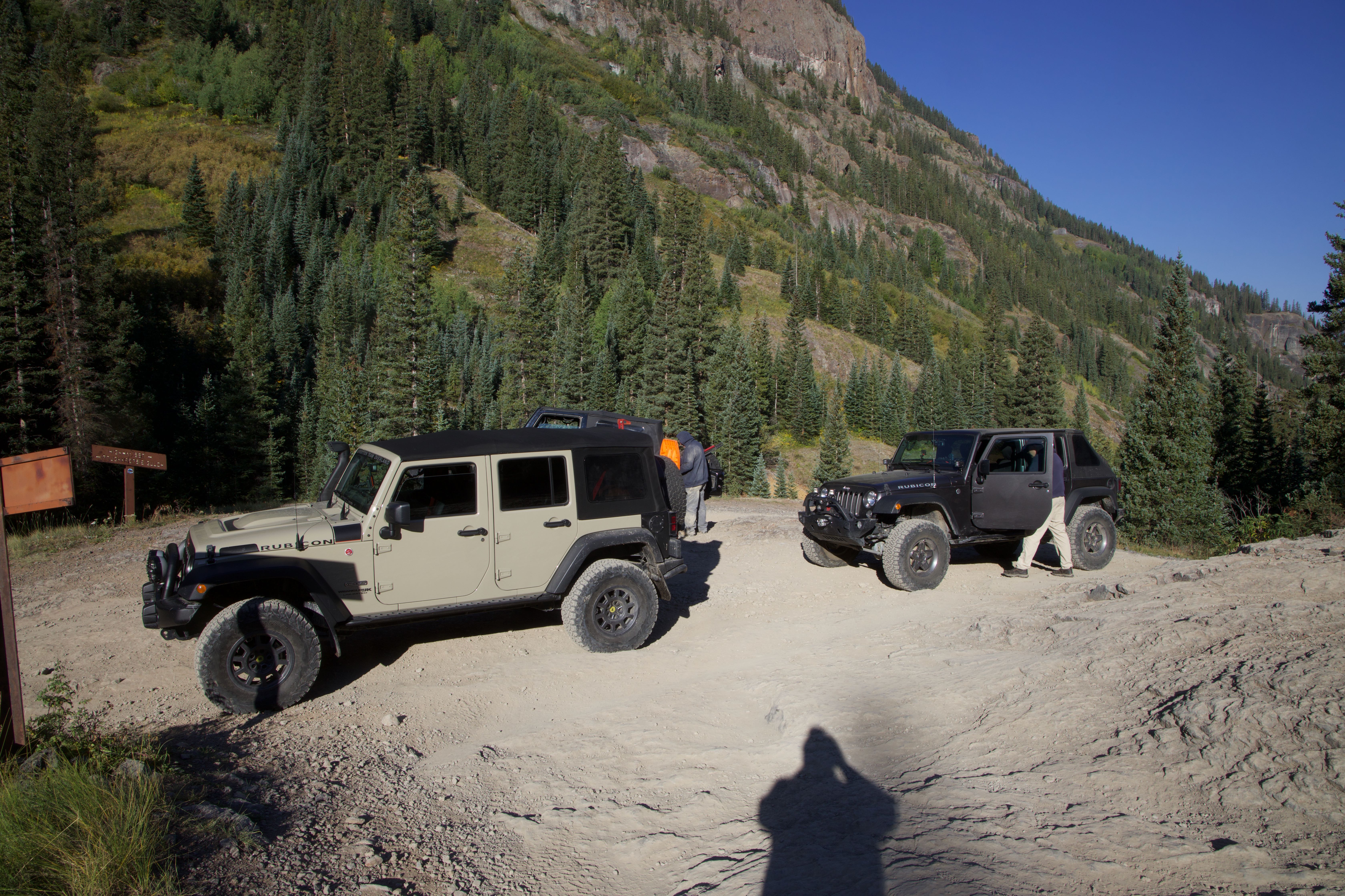
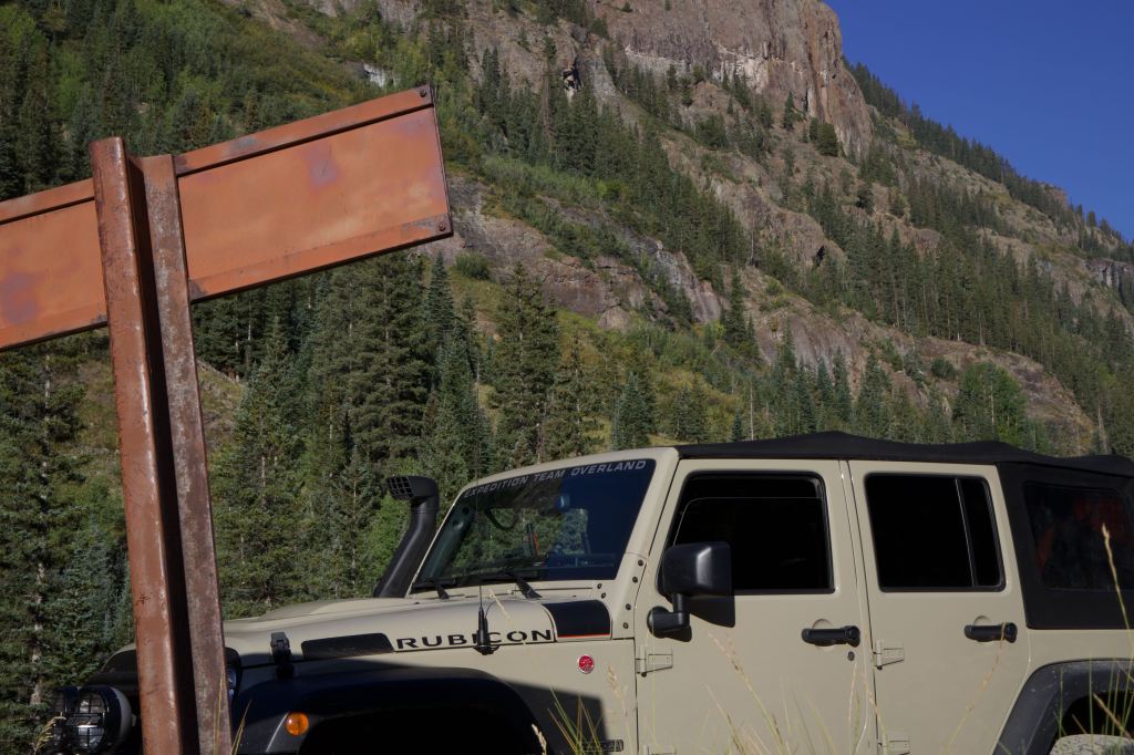
As we anon head south out of Ouray on US-500, we turn onto Engineer Mountain Road. We are on Engineer Mountain Road for 2.4 miles. Again passing the Michael Breen Mine. At the fork we goto 4th right toward Poughkeepsie Gulch. The trail become more difficult than Engineer Mountain Road right out of the start. We have a steep rock to descend and cross a stream with climbing a rock ledge. Th climb could be a challenge due to wet tires on wet rock. We are able to traverse with ease.

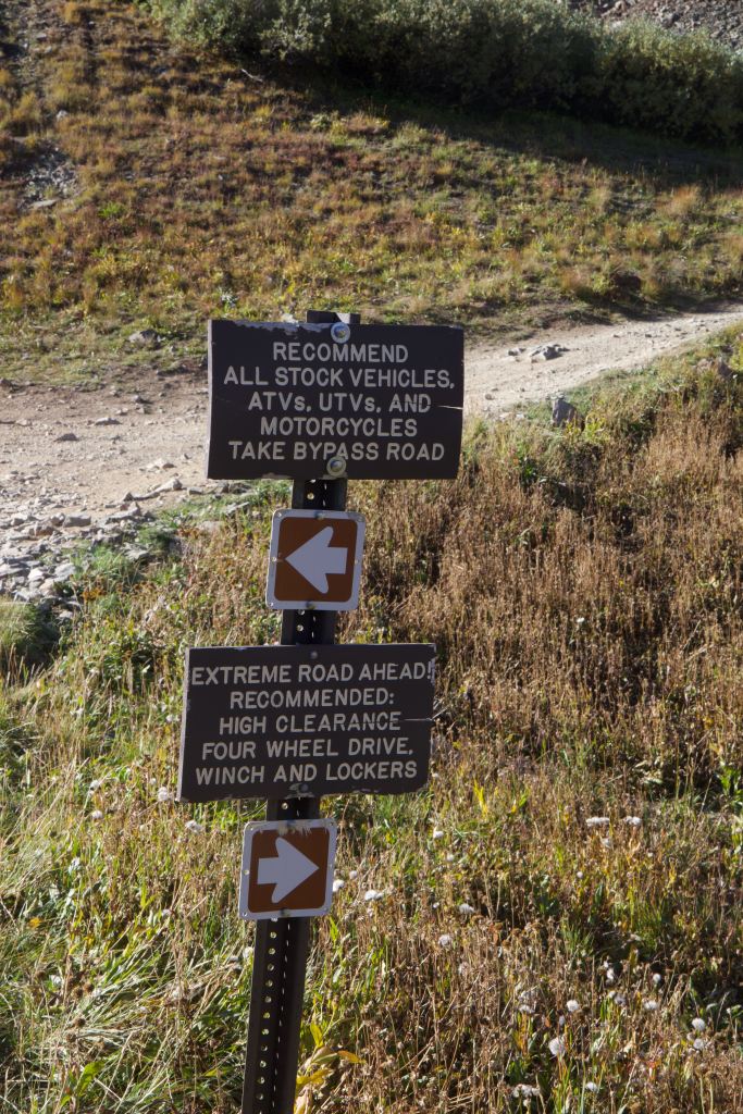
We pass a few small mines as we continue down the trail; we stop at a few and explore. The trail conditions are a dirt road with scattered rocks, the trail leading up to “the Wall” can easily be done. As we get to 4th “The Wall” we take our time and walk the trail and scope out what line to take.
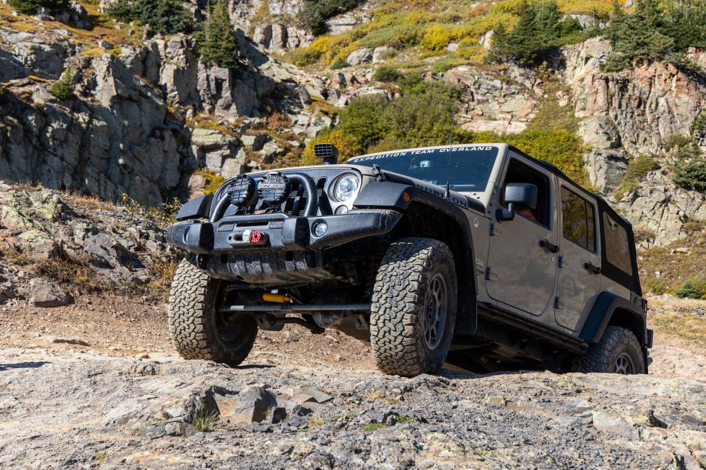
Greg in the group is the best spotter that I know, and I trust his judgment, you need this is a spotter, they are your eyes and can see the big picture. “The Wall” is no joke. For the rock crawler, it’s just a normal obstacle, but for most who are exploring the Alpine Loop it is a challenge. As with most obstacles, walk the obstacle, take your time, and go slow. 4-Low and lockers Think is a must after doing it.
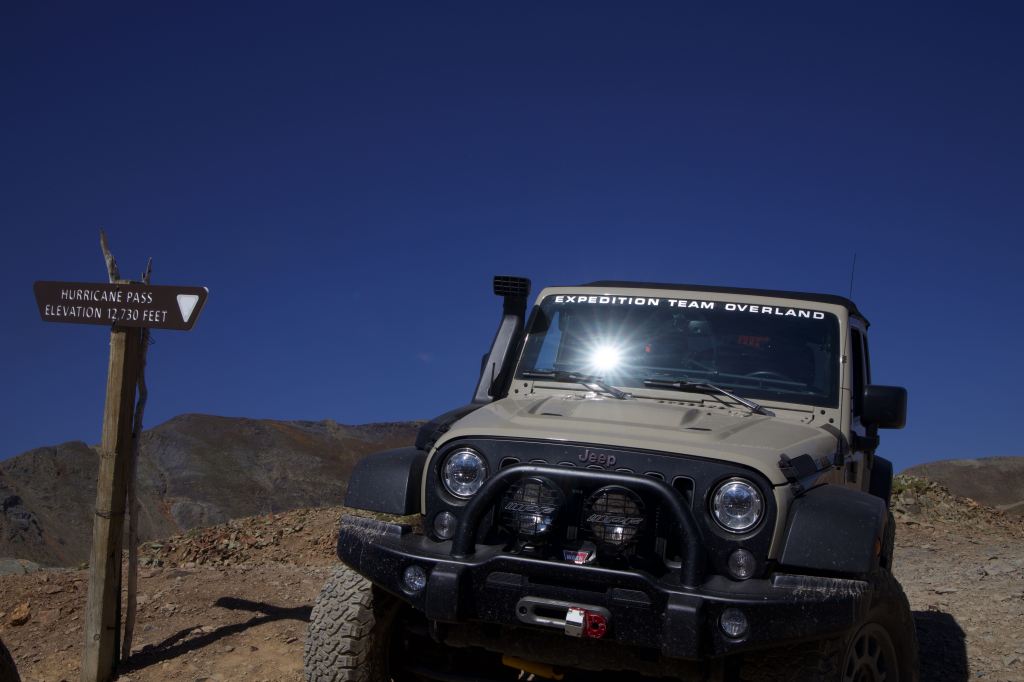
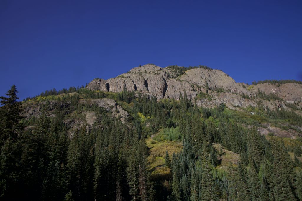
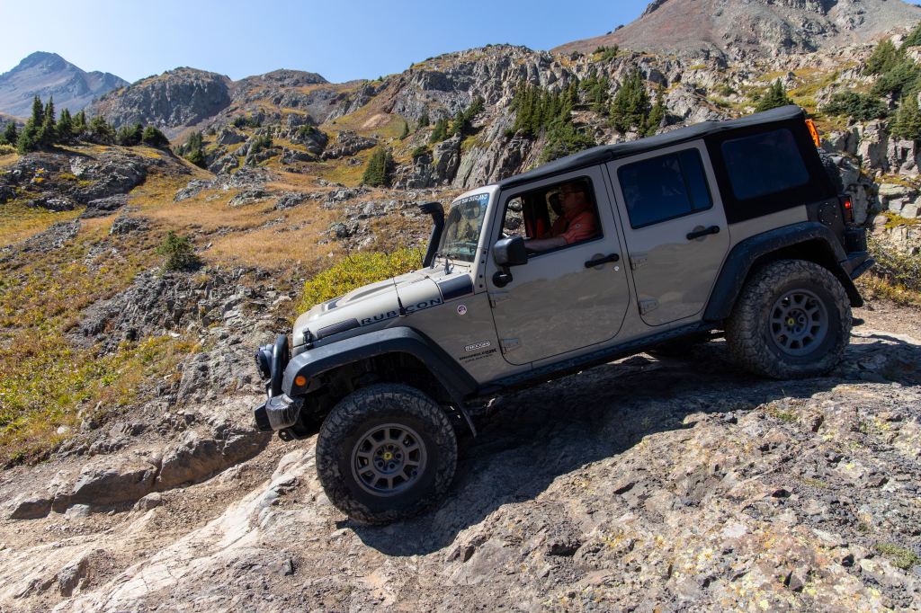
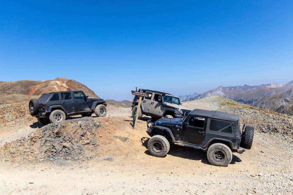
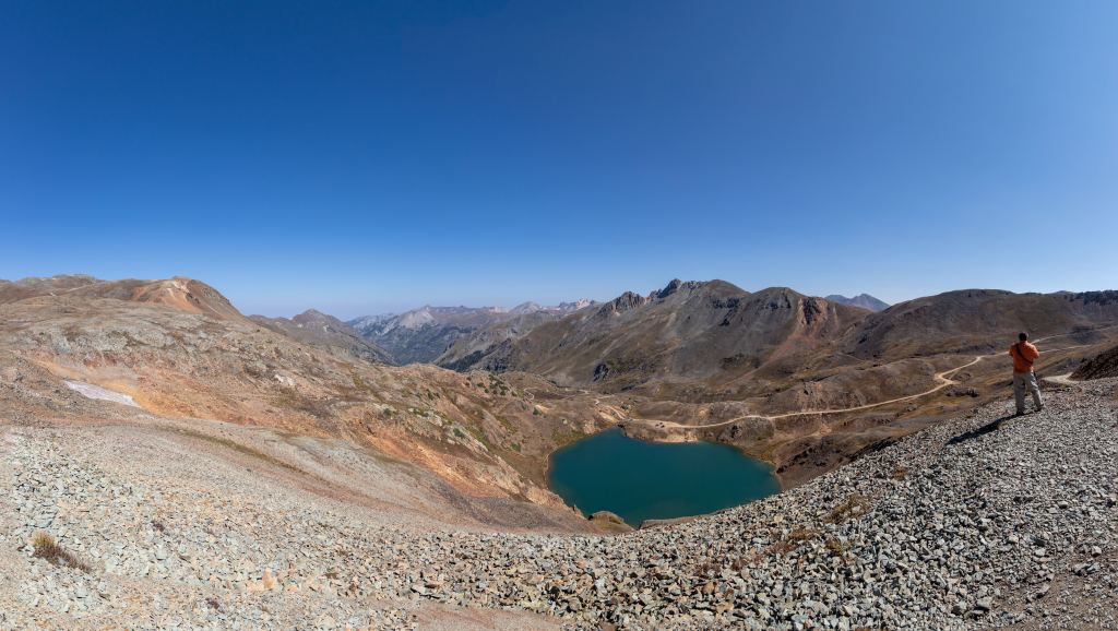
Not far after “The Wall” Poughkeepsie Guide ends and you join onto Hurricane Pass. There is a large alpine lake, Lake Como, that you go around to get to Hurricane Pass. The pass is windy like that if Imogene, as its a large open area. Once again also we have clear skies and unlimited visibility. We have been very lucky with the weather and visibility. In the western states forest fires are making the skies smokey, but have escaped the smoke.
After photo at the pass, we start working our way down and have great views of Red Mountain and Red Mountain #1. The minerals in the soil and rock are of a deep red color. Coming down the trail is once agin a long gradual grade, with well groomed dirt with some crushed rock.
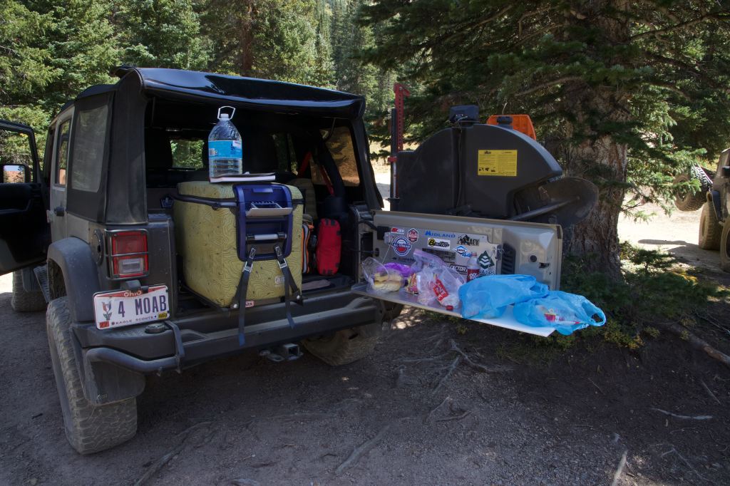
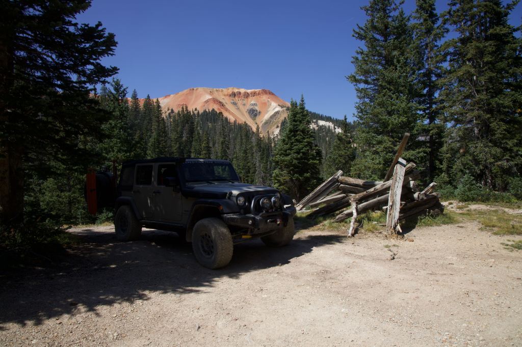
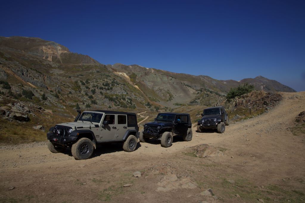
As we get into the tree line, we find a pull off to stop and eat lunch. We wanted to get get to lower elevation to eat, temperature and wind, was why. At the summits and passes the temp was comfortable, but just wanted to get to a warmer temps. I have baked this location as it would be a great camp location for future trips.
After lunch we continue back to US-550 and air-up the tires and head back into Ouray for dinner. It was a faster day than day 1 so we were Abel to get dinner in town and have a nice relaxing evening.