1MK
ExploreDesert
Death Valley. The birth place of Explore Desert and The Adventure Continues. An idea born around good friends, a warm campfire and cold beverages. It's been a little over a year since our first documented trip last February, an experience that started something new. New plans. New places. New goals. With the holidays and new year out of the way, it was time to figure out what to do for our first outing of 2016. Ideas were thrown out, but before long it became apparent where to go. Back to the start. So that's what we did, although this go around we'd start near Saratoga Springs, and end north of the Eureka sand dunes. Well away from the touristy khaki pants and ranger hats.
So it was decided.
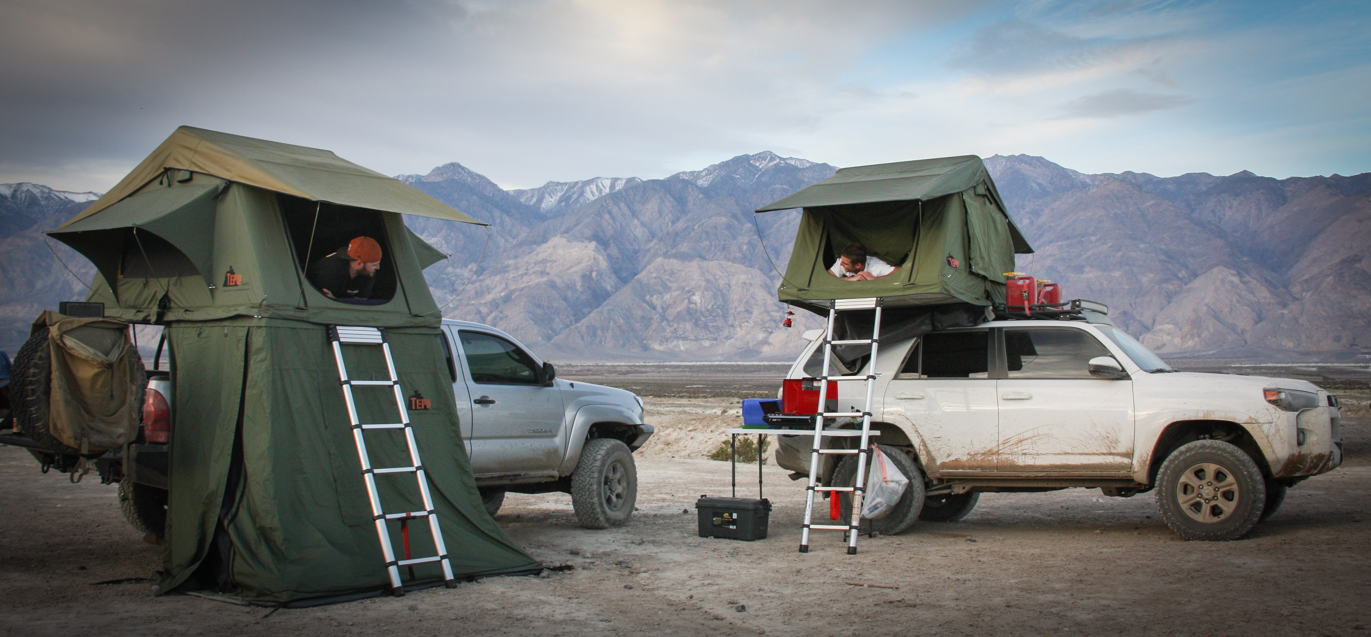
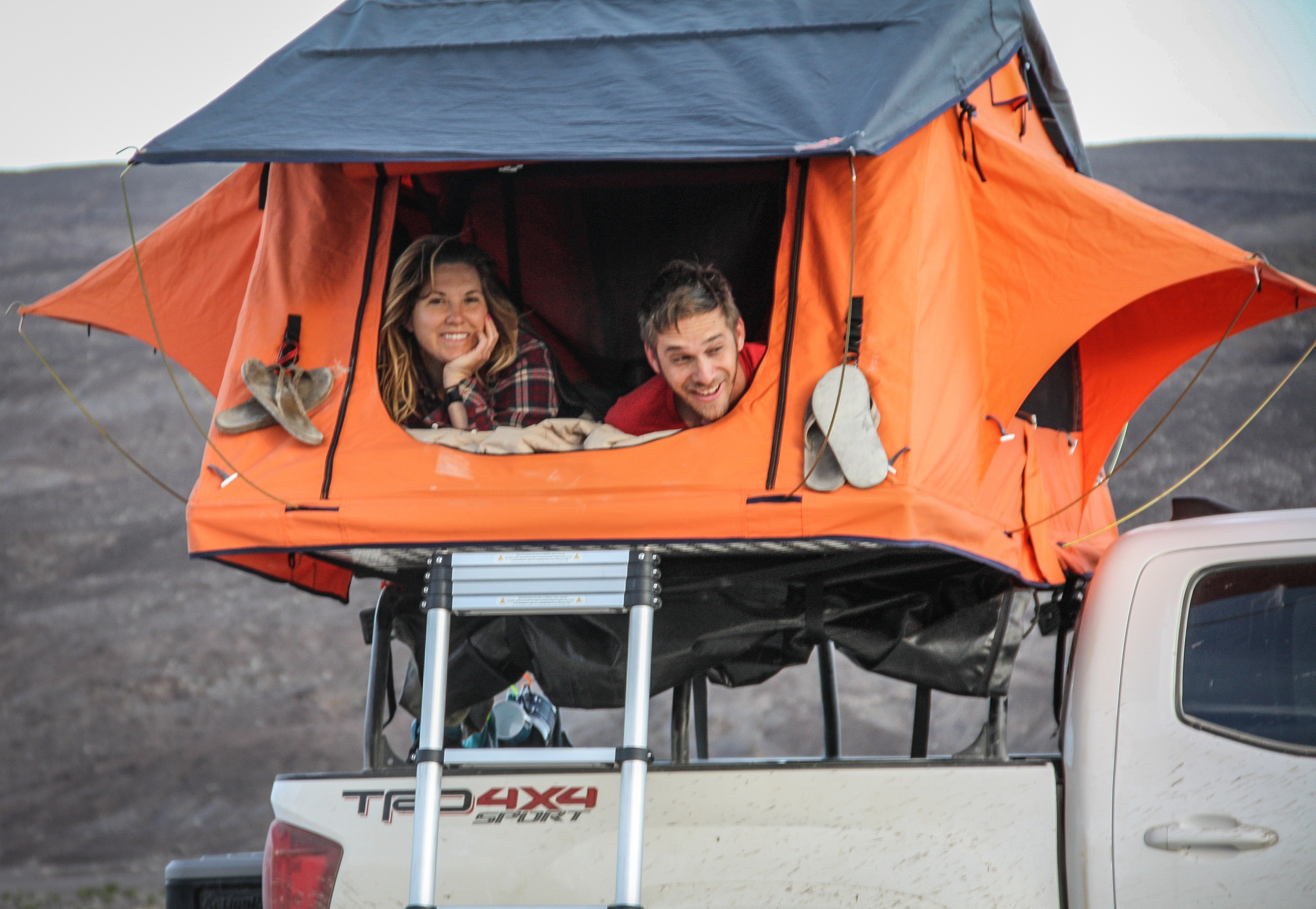
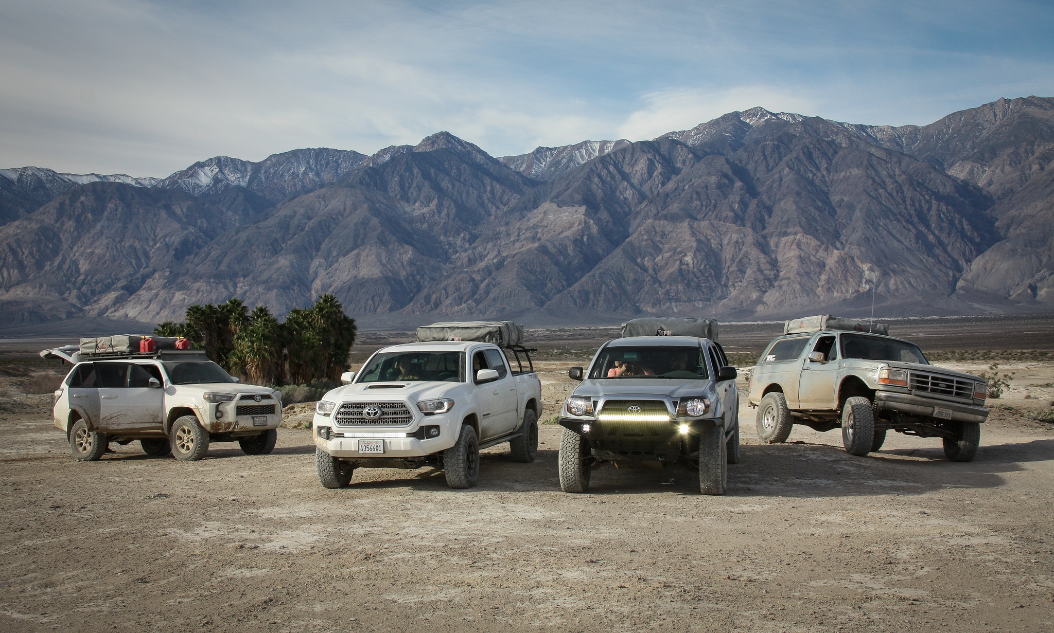
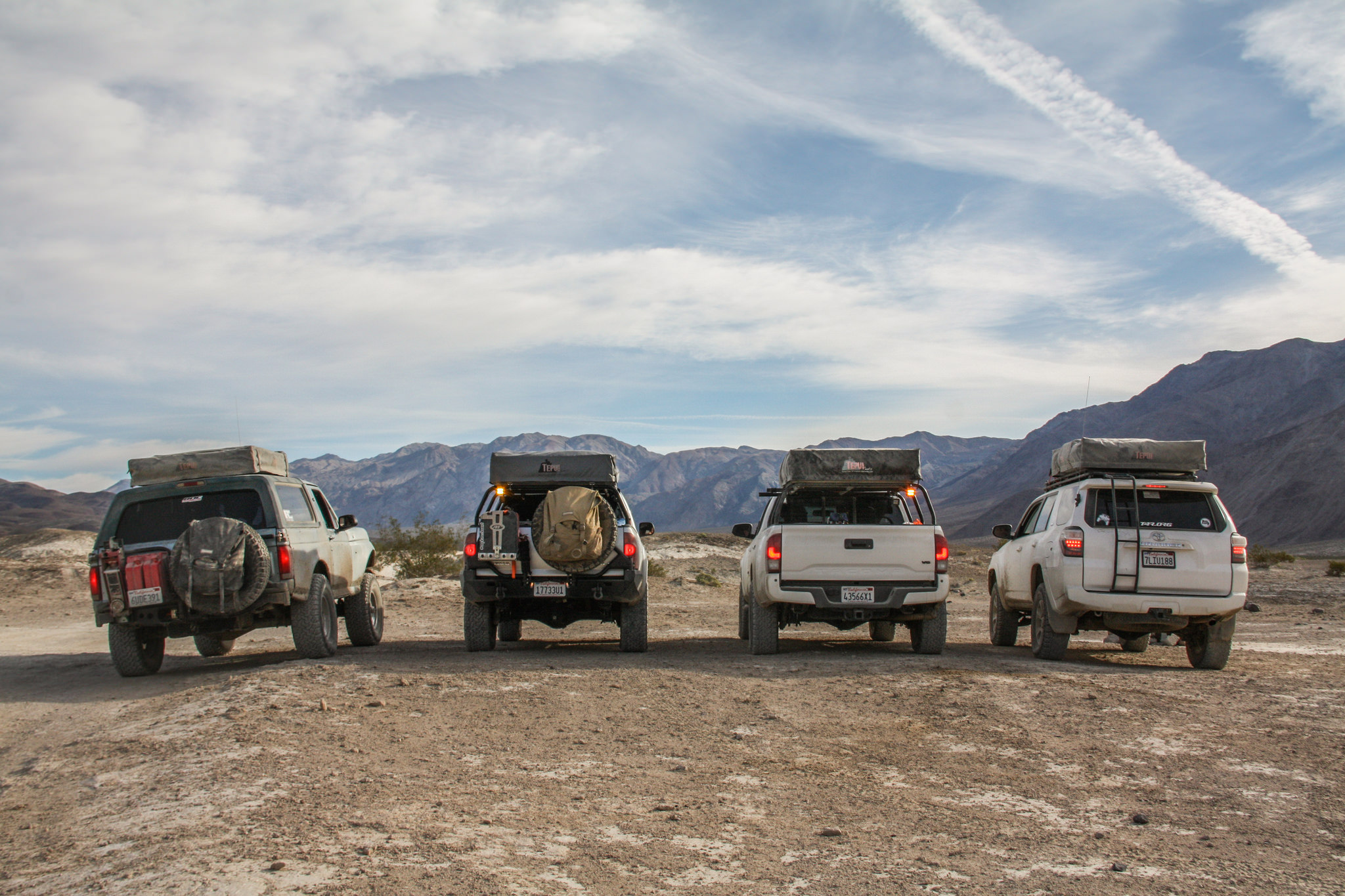
2 dogs, 3 days, 4 vehicles, 9 people, 920 miles.
Perfect.
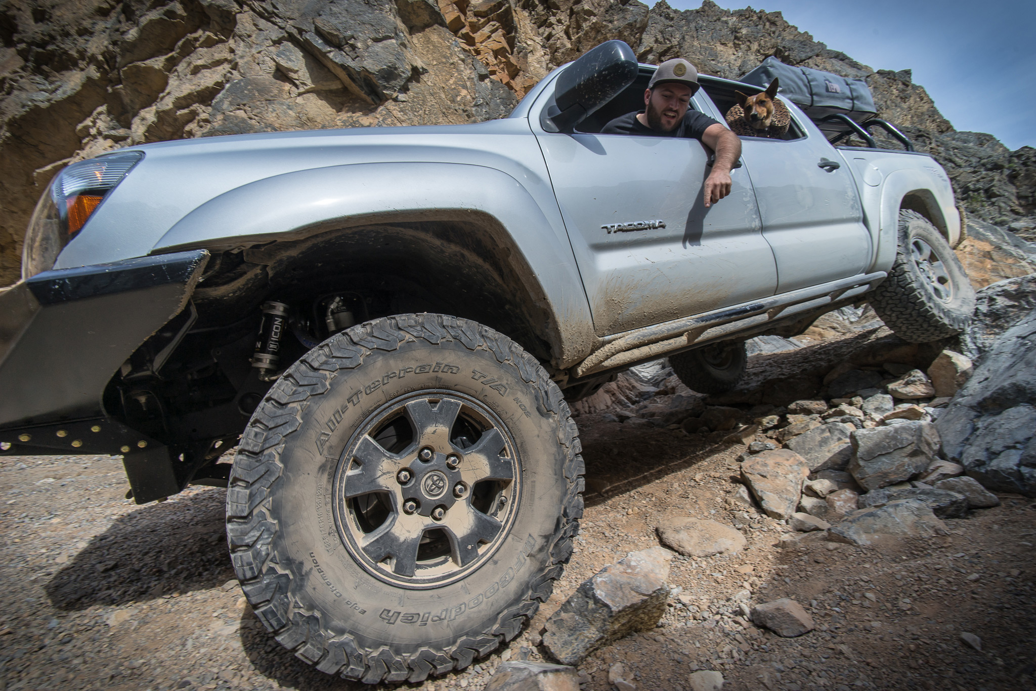
Starting off, all vehicle underwent full inspection, repairs and various upgrades to ensure there would be no problems once out in the remote back-country. One of our greatest strengths is ensuring the vehicle are up to the task, eliminating any preventable failure before we get on the trail.

Now we just had to wait until our departure date....
Thursday couldn't go by fast enough. This adventure had been planned for well in advance, finally reaching a point where mere hours were separating unproductive work time from a good time.
Then the clock struck 5 and The Adventure Continued...
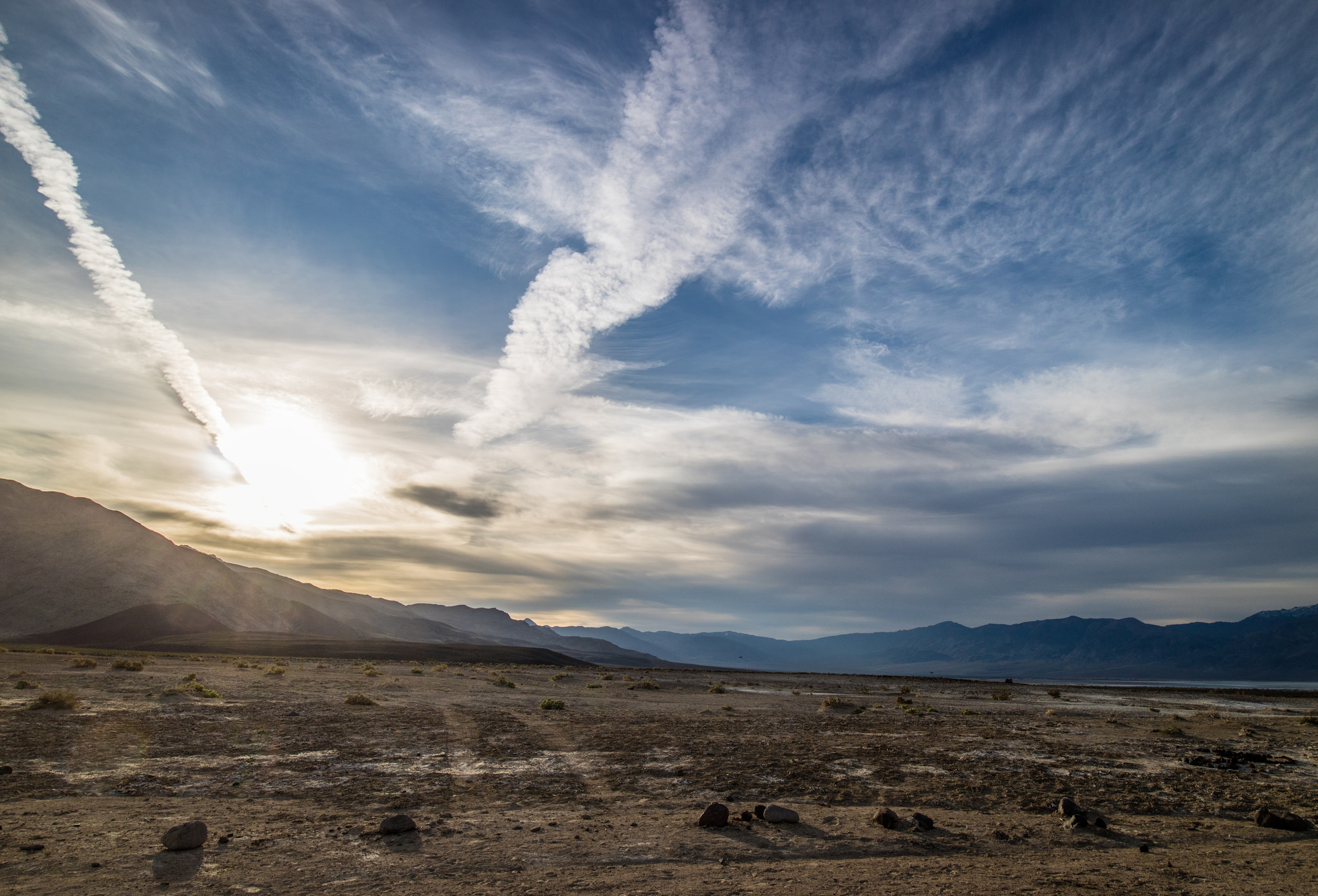
That night we drove out to our first nights camp in the Avawatz Mountains, just south of DVNP. It felt good to be back to somewhere familiar, yet new. We lit up a nice camp fire and drowned ourselves in conversation about what the following days would bring.


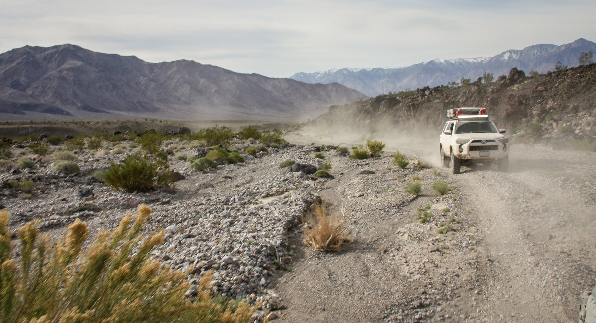
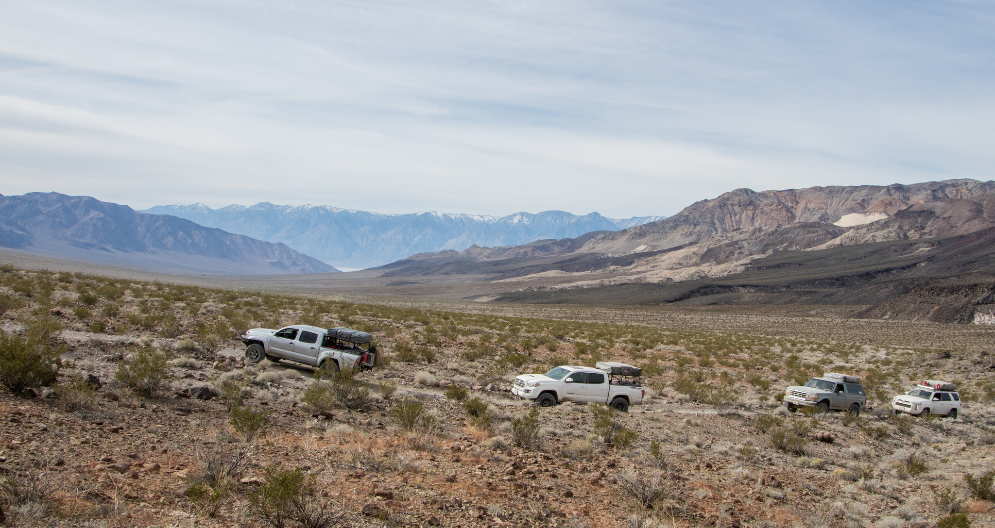
Woke to a crystal clear morning that gave us our first view of the surroundings. We've been very fortunate when it's come to weather for our trips, and this one was no exception. No fast moving air, rain or temperature extremes.

The Ibex Sand Dunes lay off in the distance


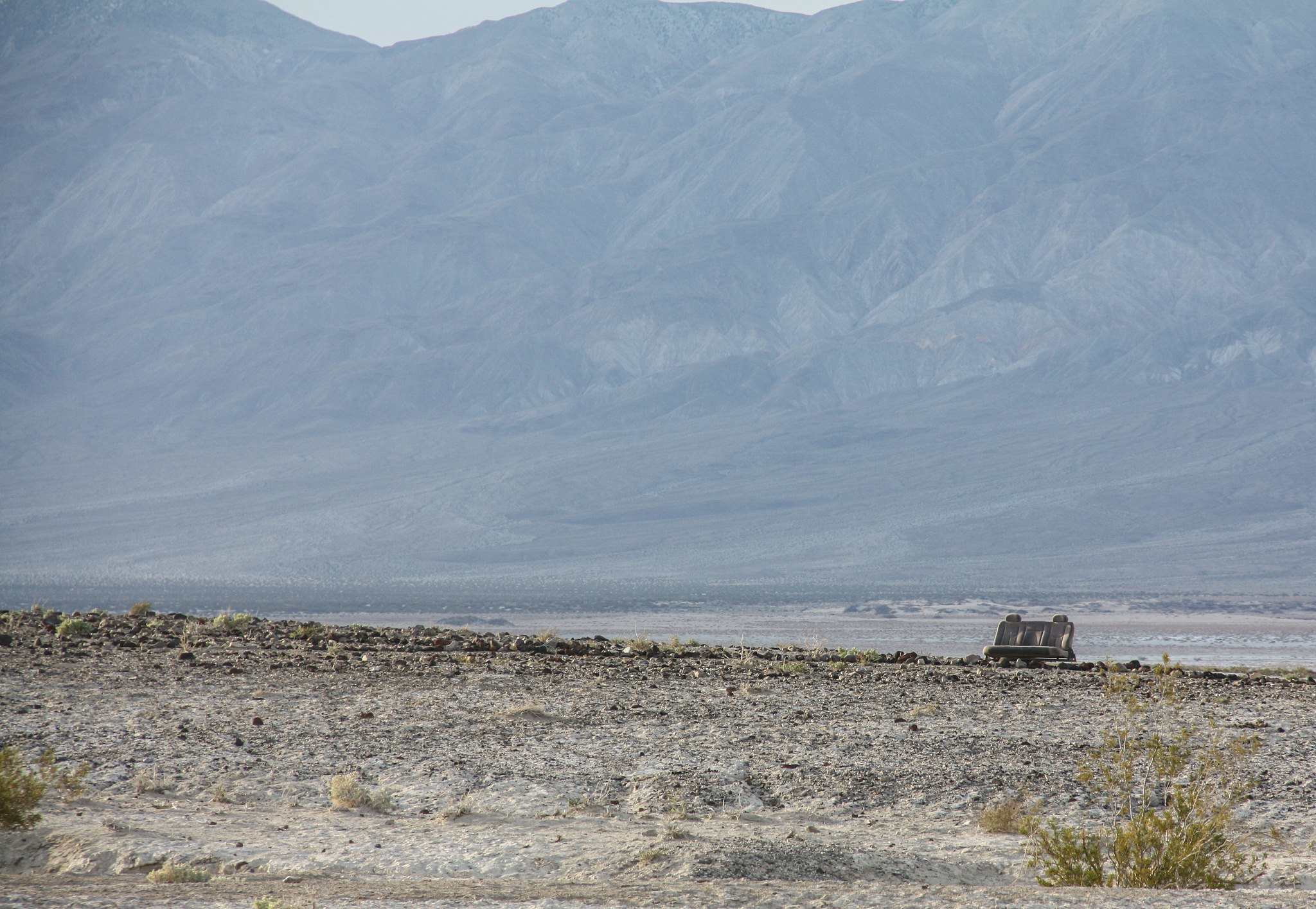
Although the weather was great for us, months prior Death Valley had been pounded by several severe storms, soaking the usually dry ground and creating what is called a "superbloom". A rare occurrence where the valley floor explodes with color from wildflowers. It didn't disappoint while traveling through the southern portion of the park.


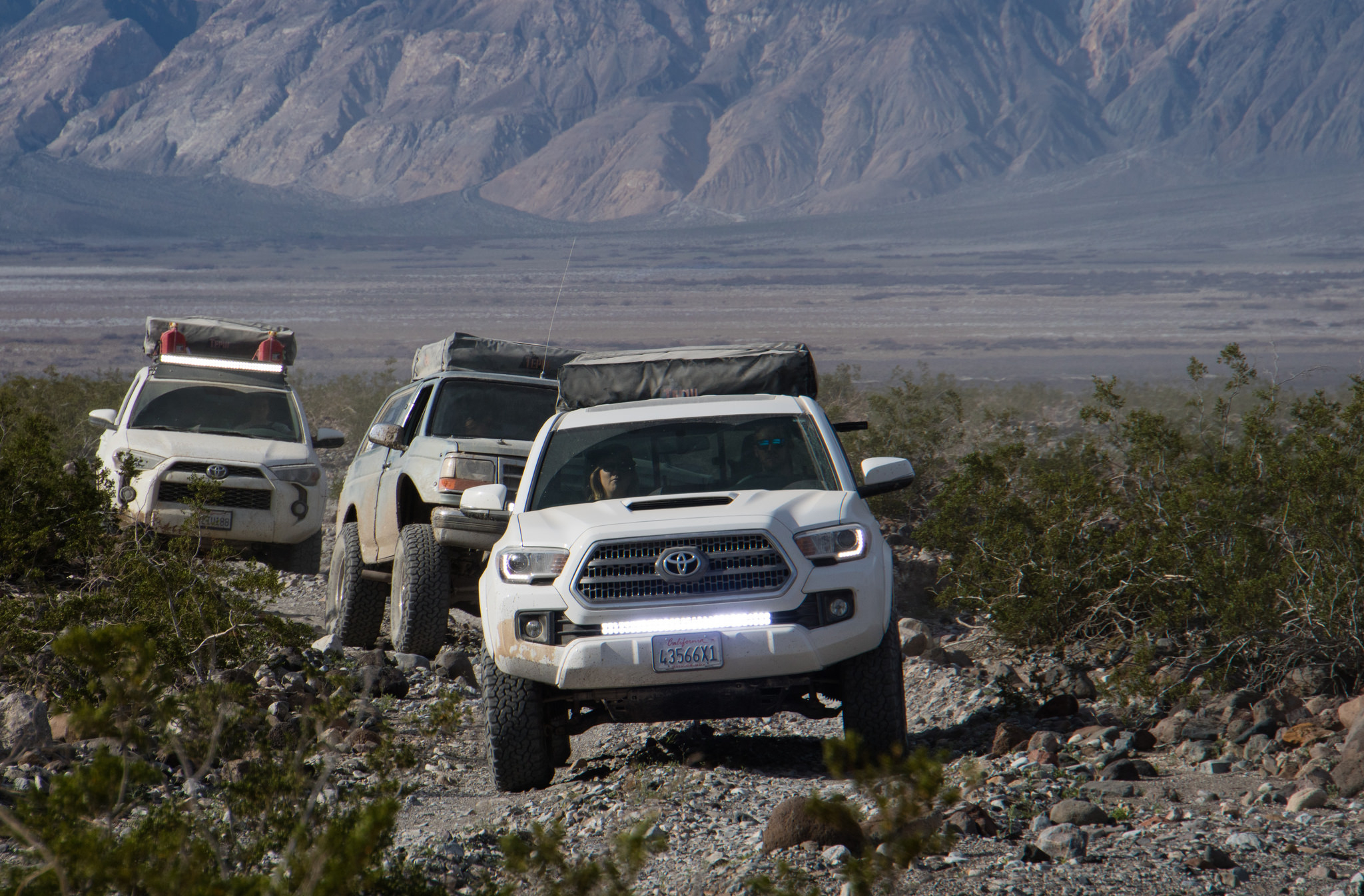
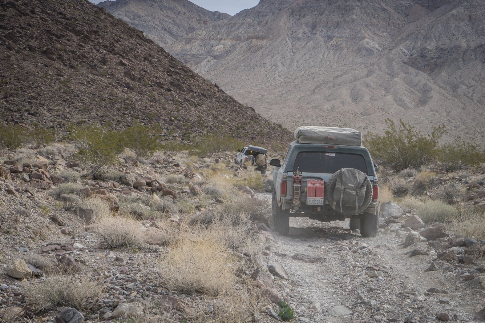
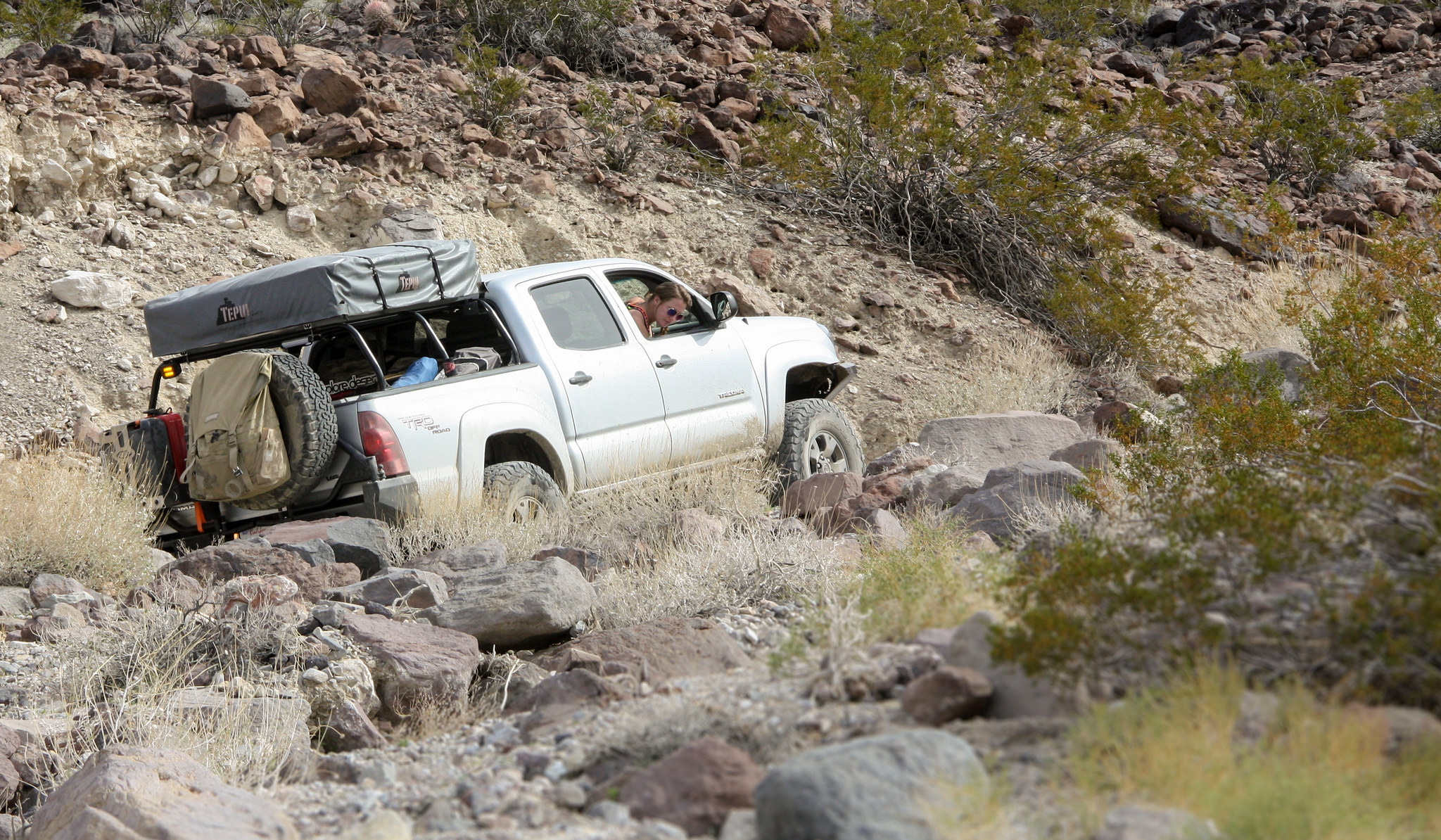
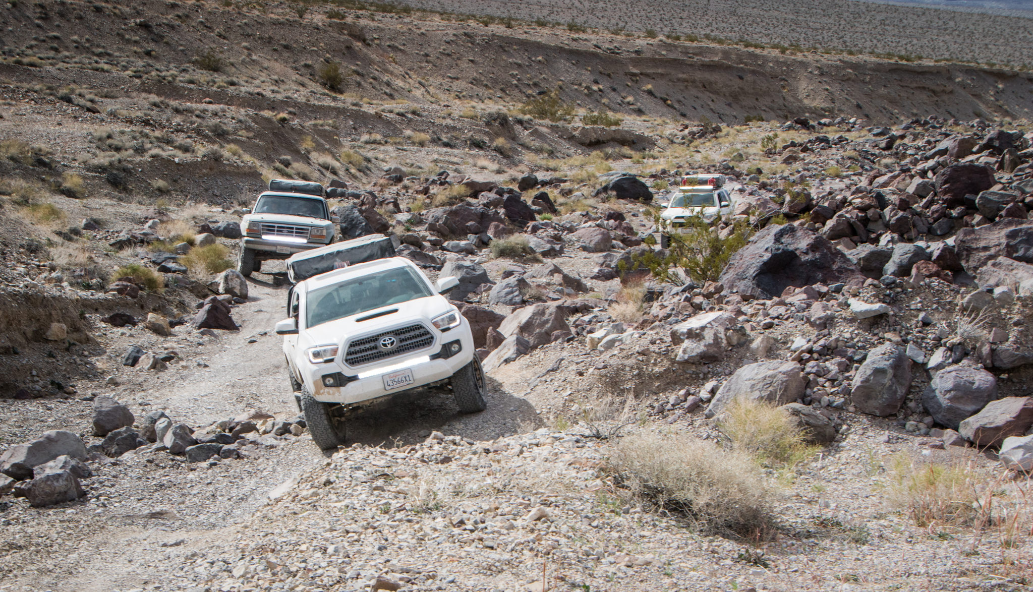
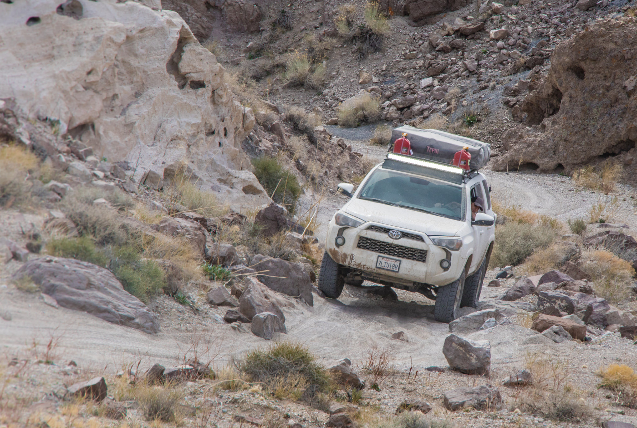
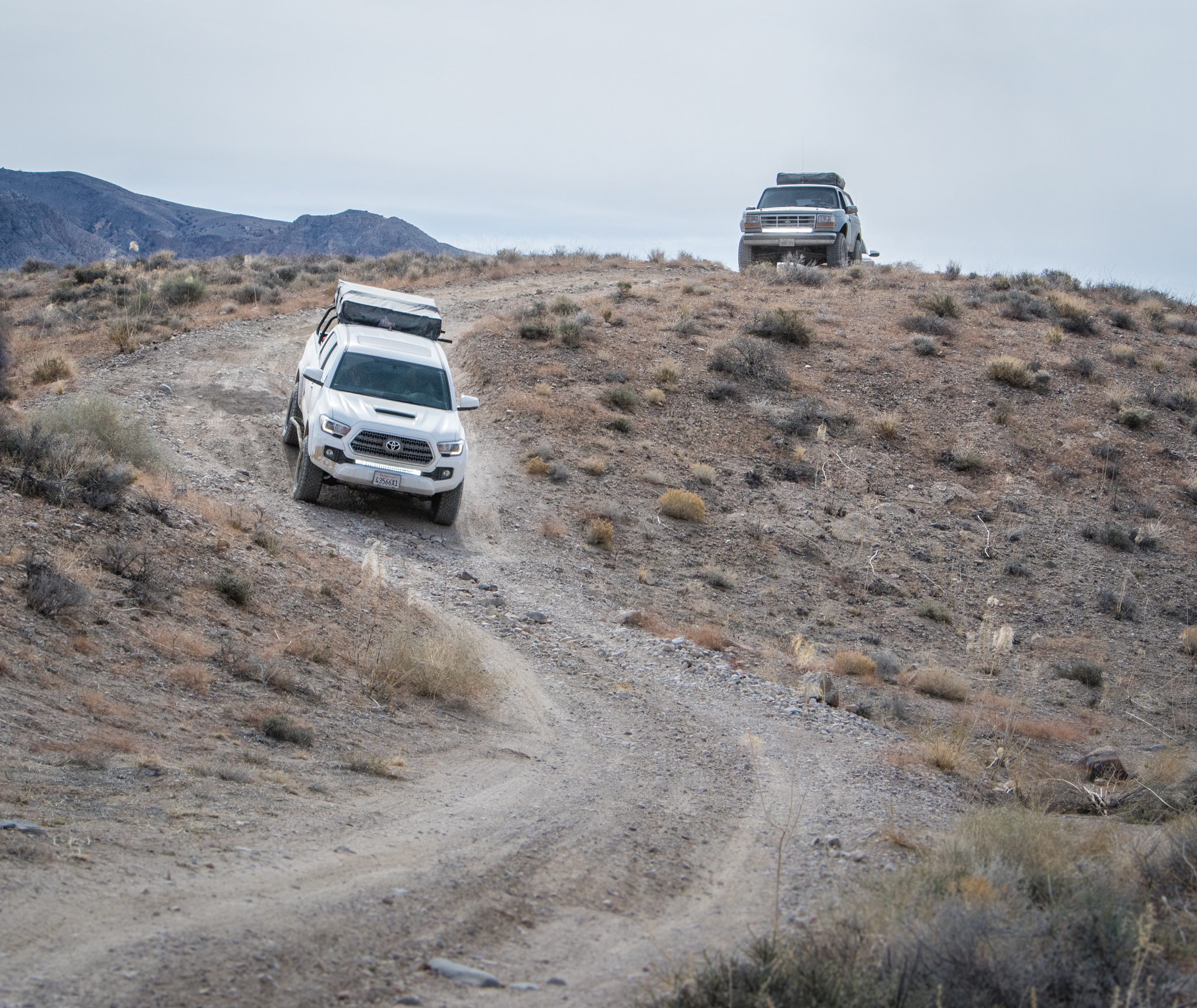
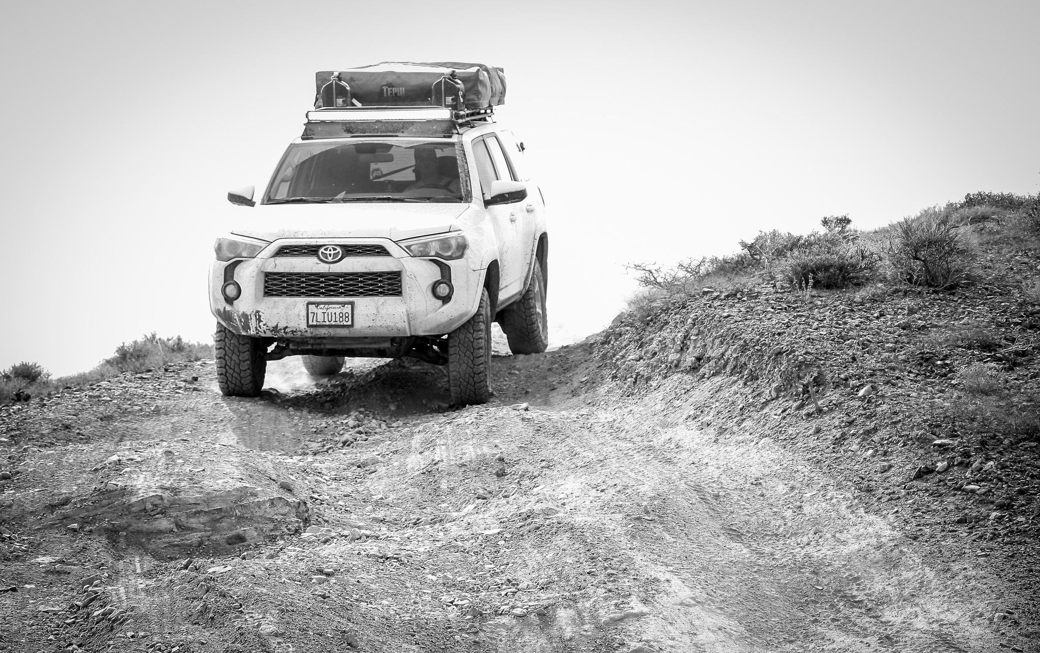
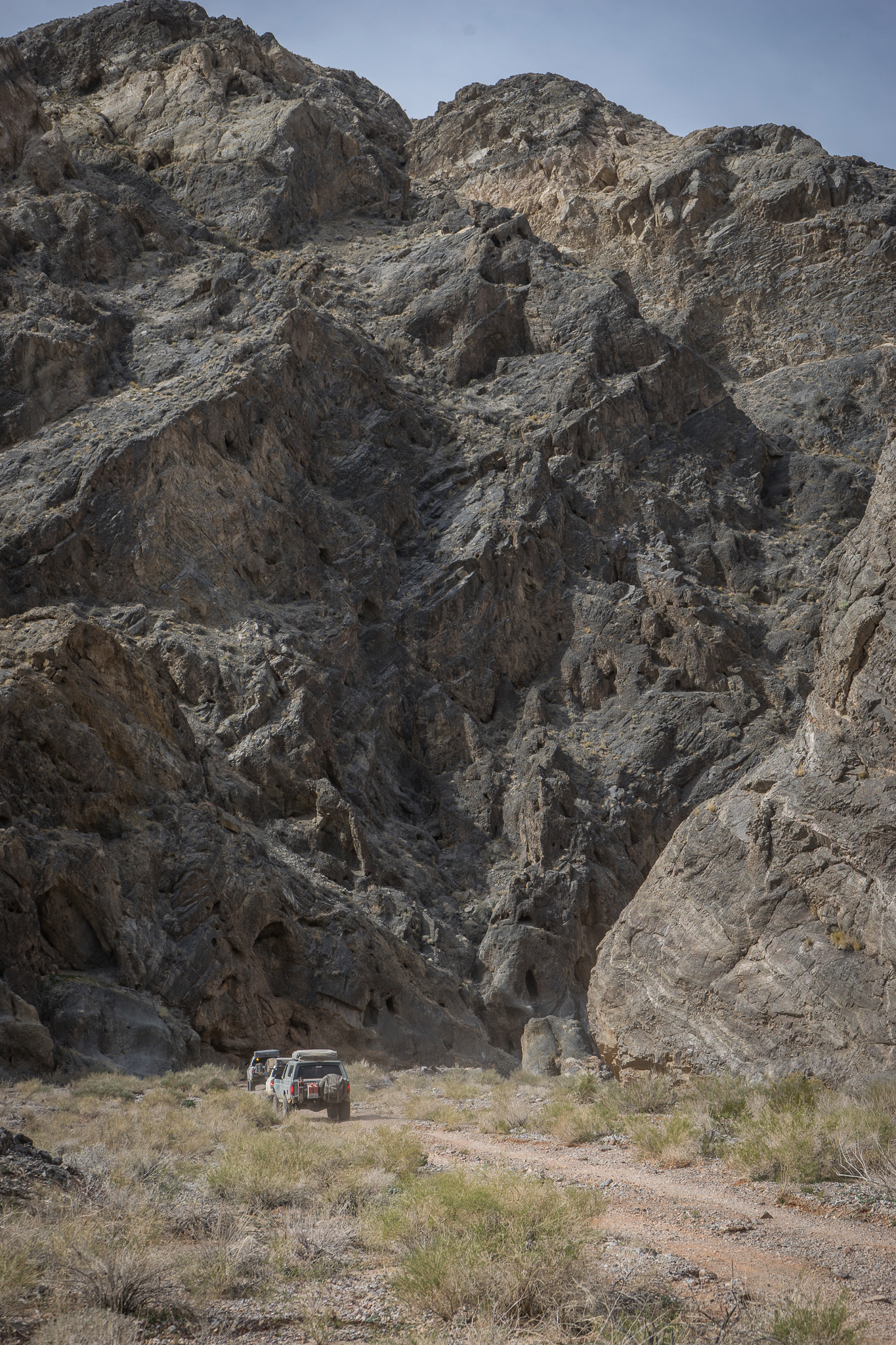
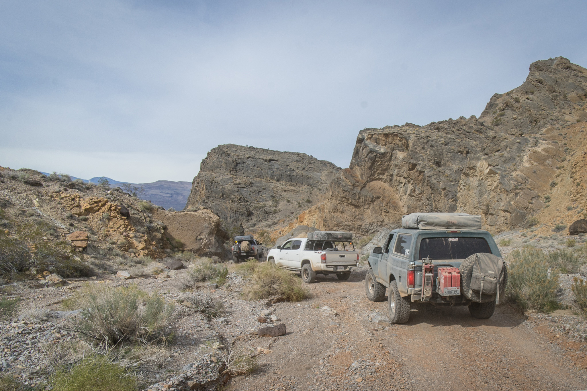
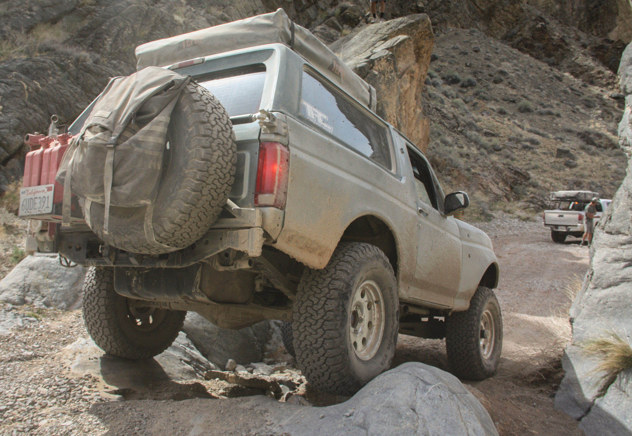
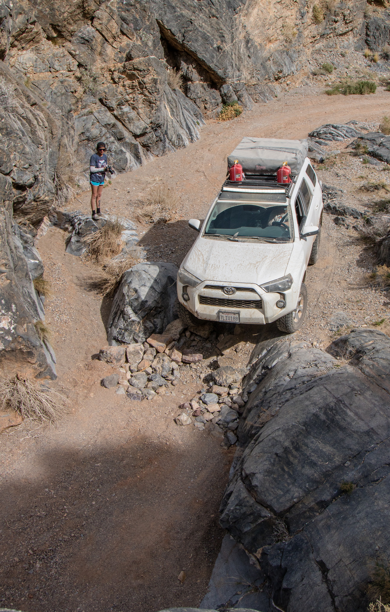
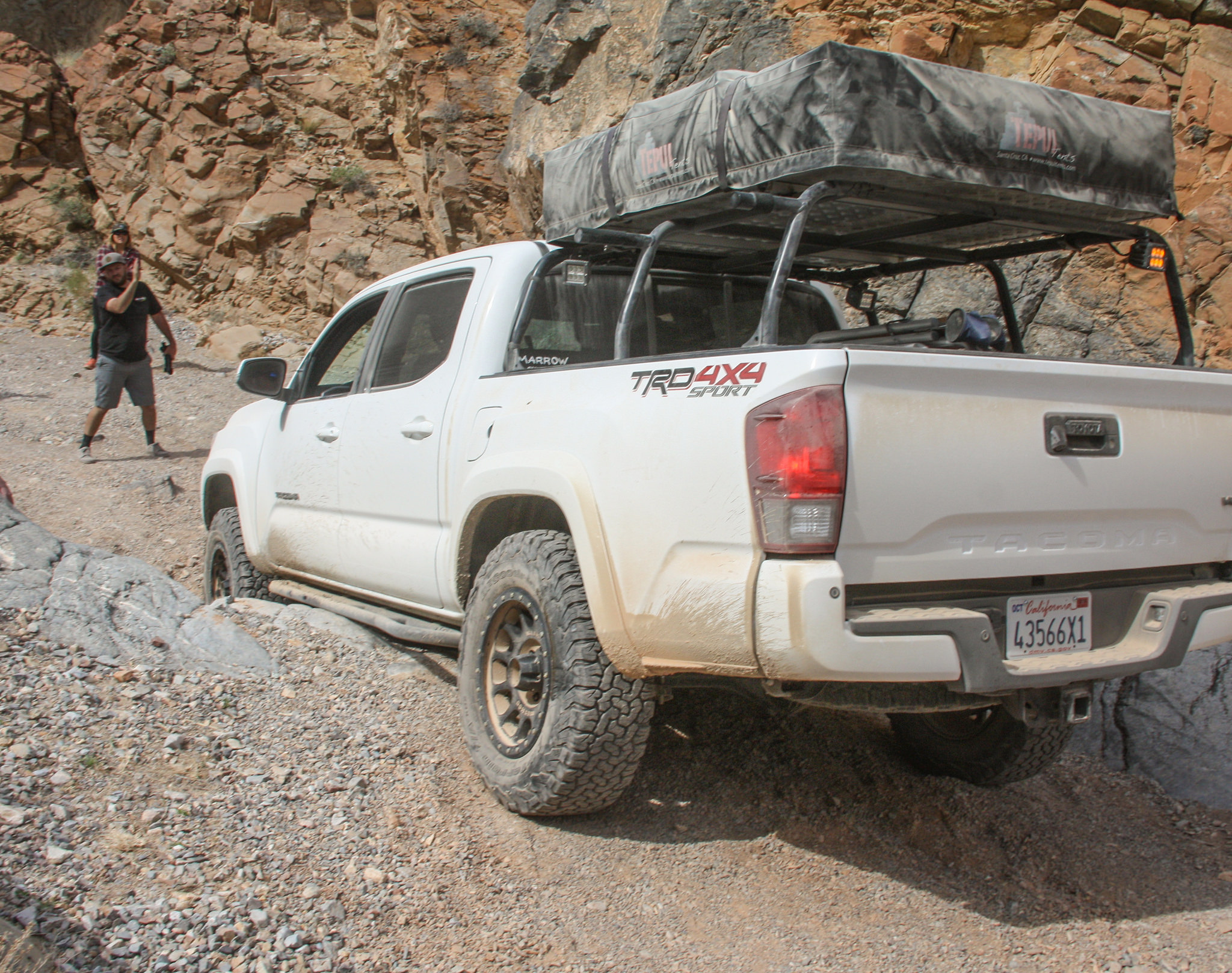
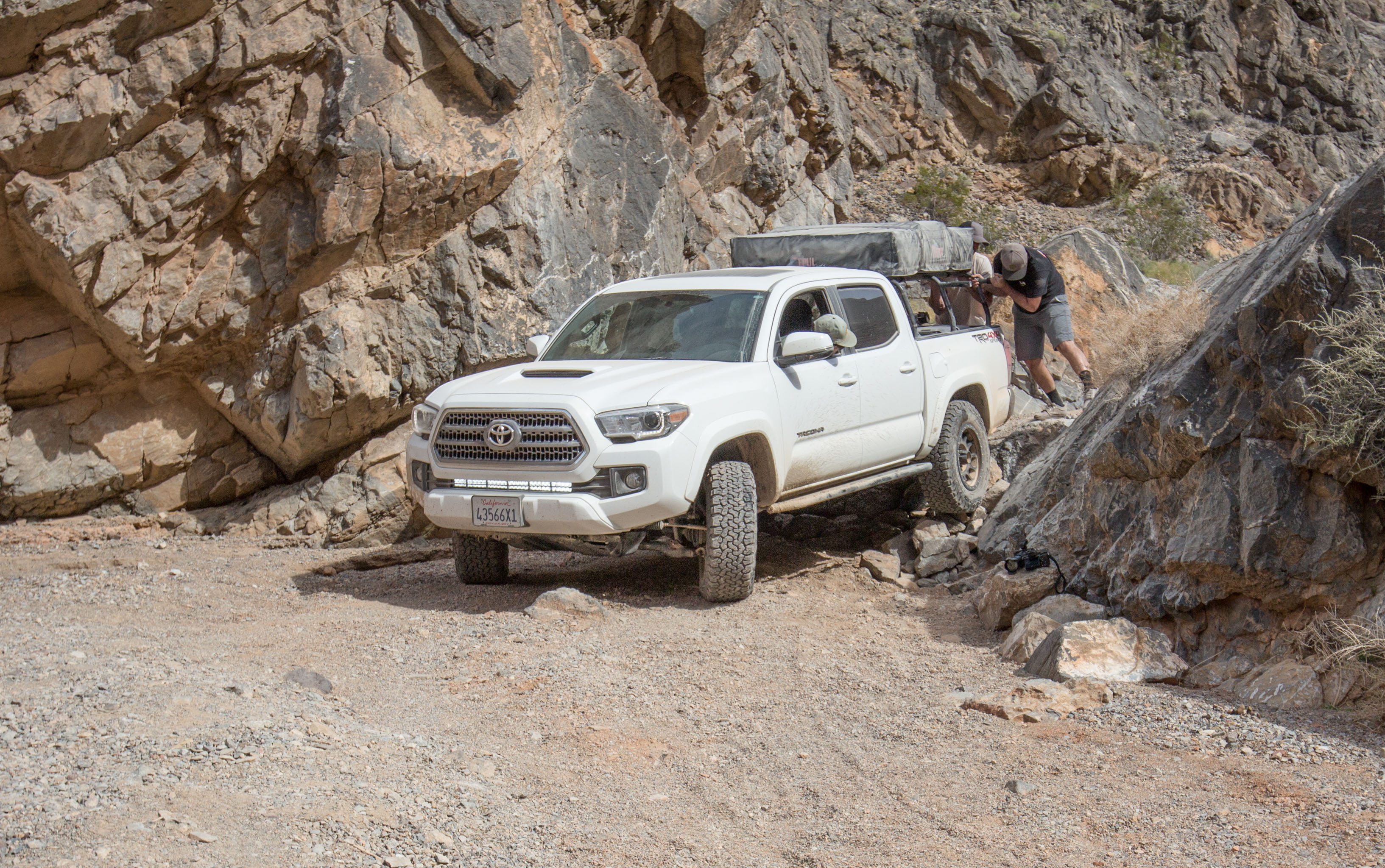
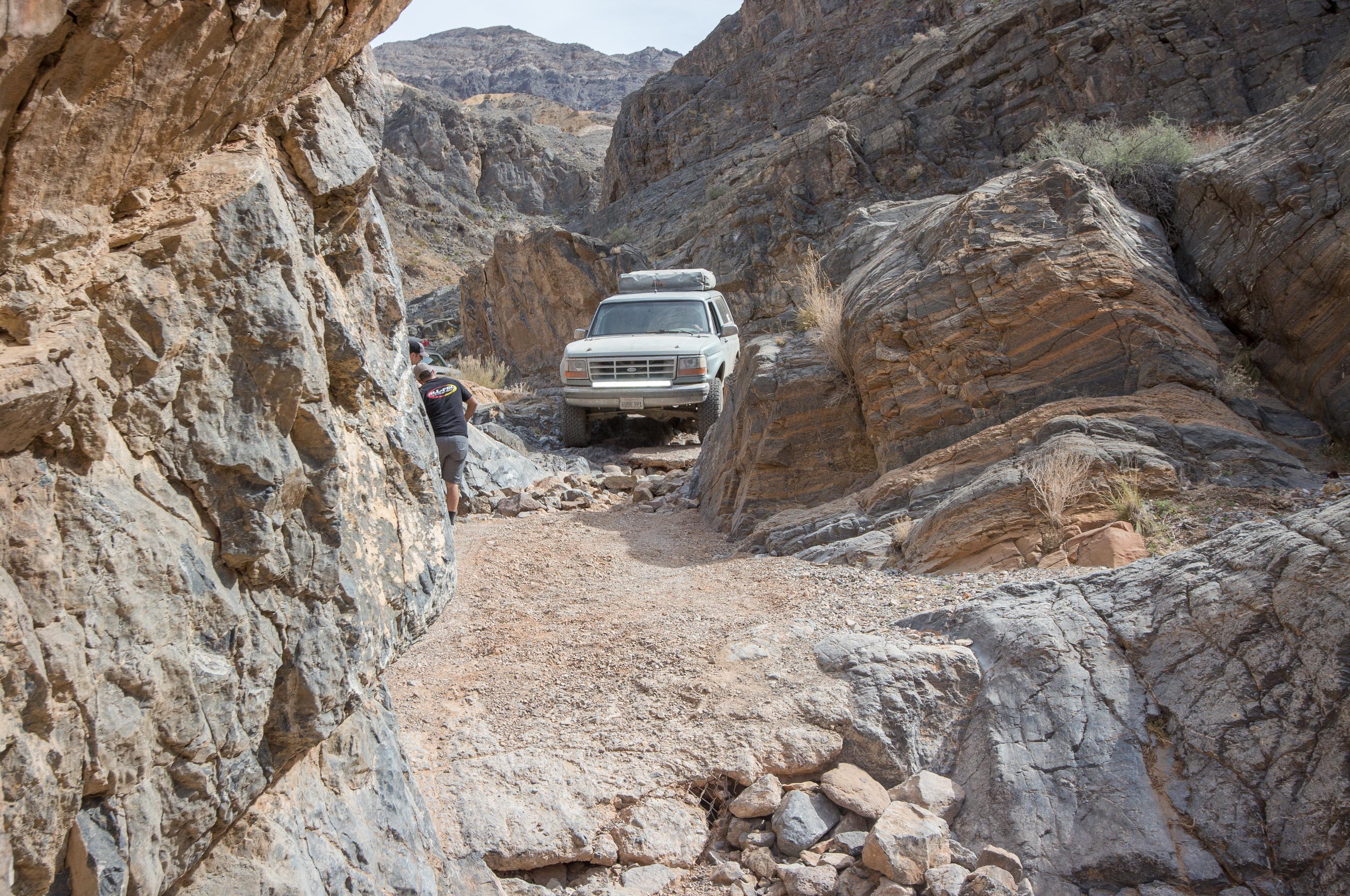
With all the flower power we could handle, the group turned west towards Butte Valley. Our route from the desert floor through the mountain range is believed to be the same passage used by the Forty Niner's on their historic and deadly trek to reach the gold fields in Northern California. Today, Warm Springs Canyon is easy going. scenic and hosts life to numerous mines and camps that were operated in the early 1900's.

PC - David Plueger Photography

PC - David Plueger Photography

PC - David Plueger Photography
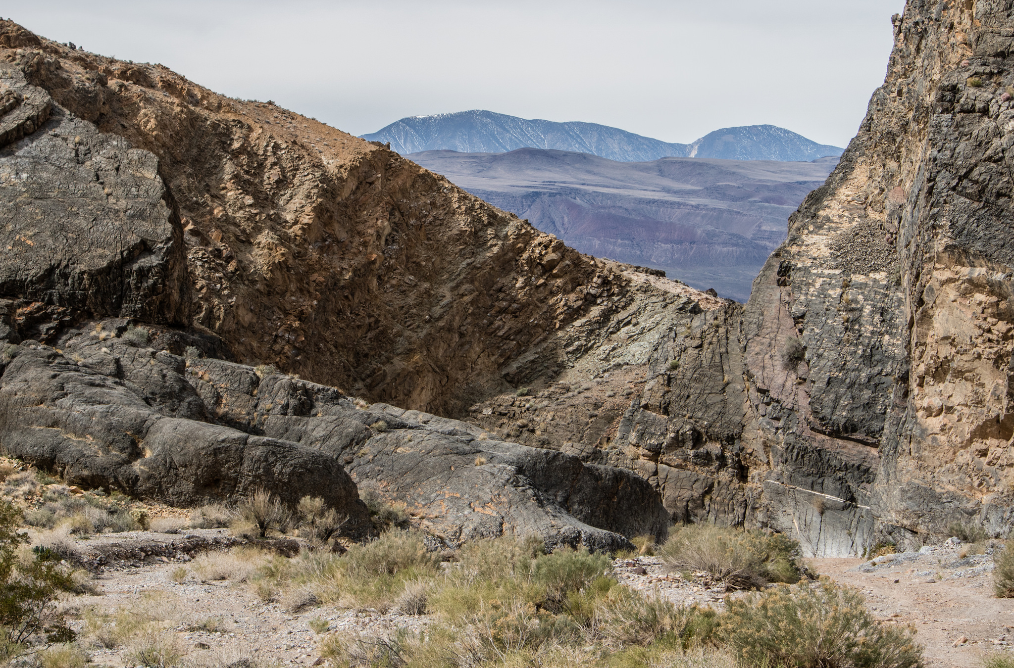
Slowly making our way up the canyon, our first glimpse of a new valley came into view. The most iconic of the area, Stripped Butte and the Geologist Cabin, laid off in the distance.


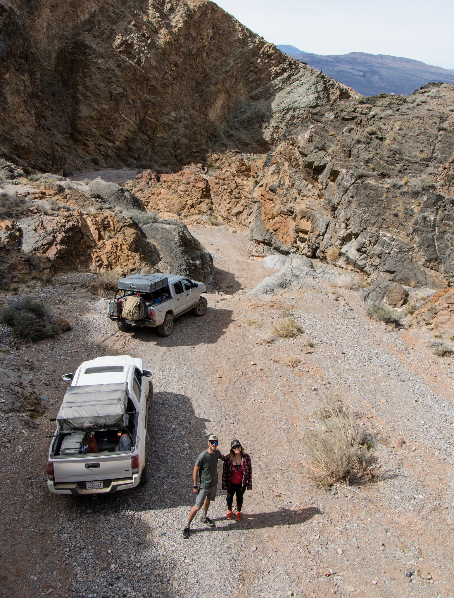
What an amazing place. For years I have seen pictures online and have always dreamed of viewing the surroundings with my own eyes. Like many others, this site will never be brought justice through a photo. The valley wider, the sky larger, and the butte bigger then any lens could hope of capturing. So, it became our temporary home while we feasted on lunch and cold refreshments, soaking in the visuals around us.


I don't think any of us wanted to leave. Easily could have stayed the remainder of the day and got lost in conversation about the past, current and future. Try to imagine what it would have been like to live in such a place. Life must have been simpler, yet more demanding all at the same time...

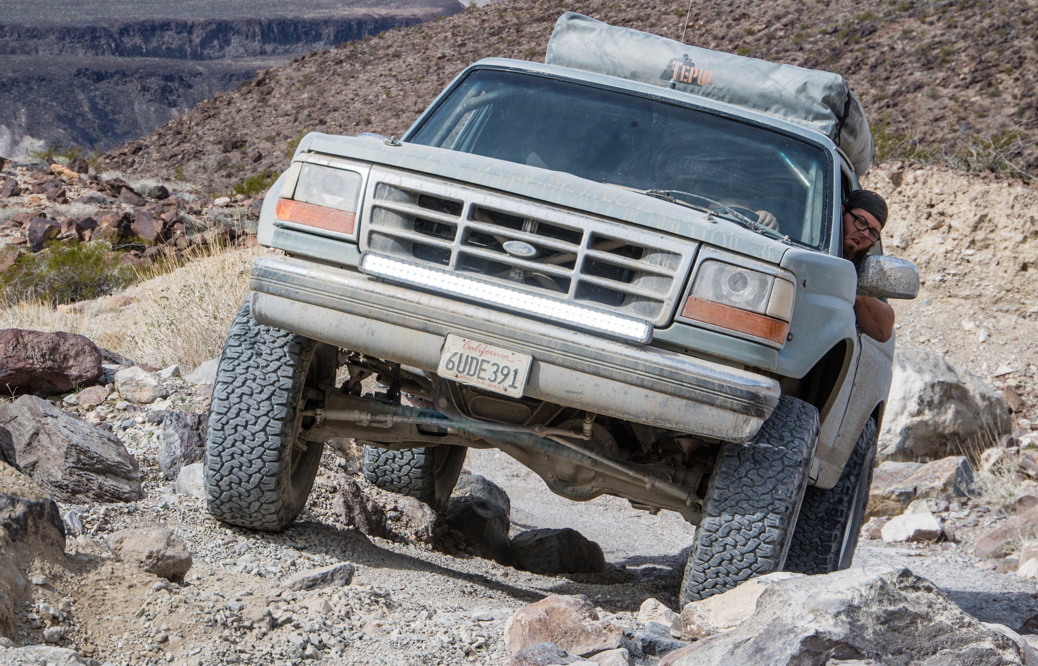
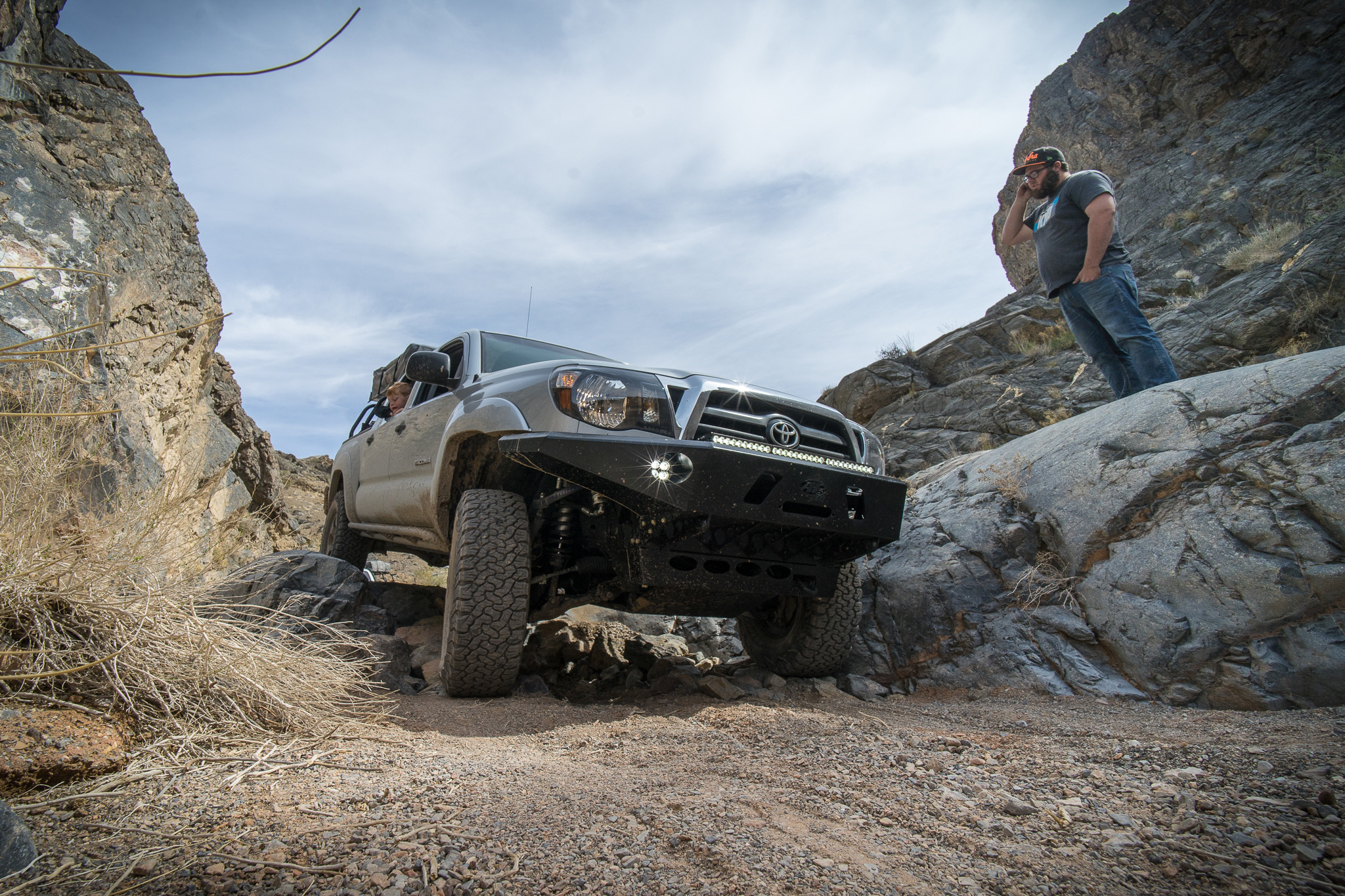
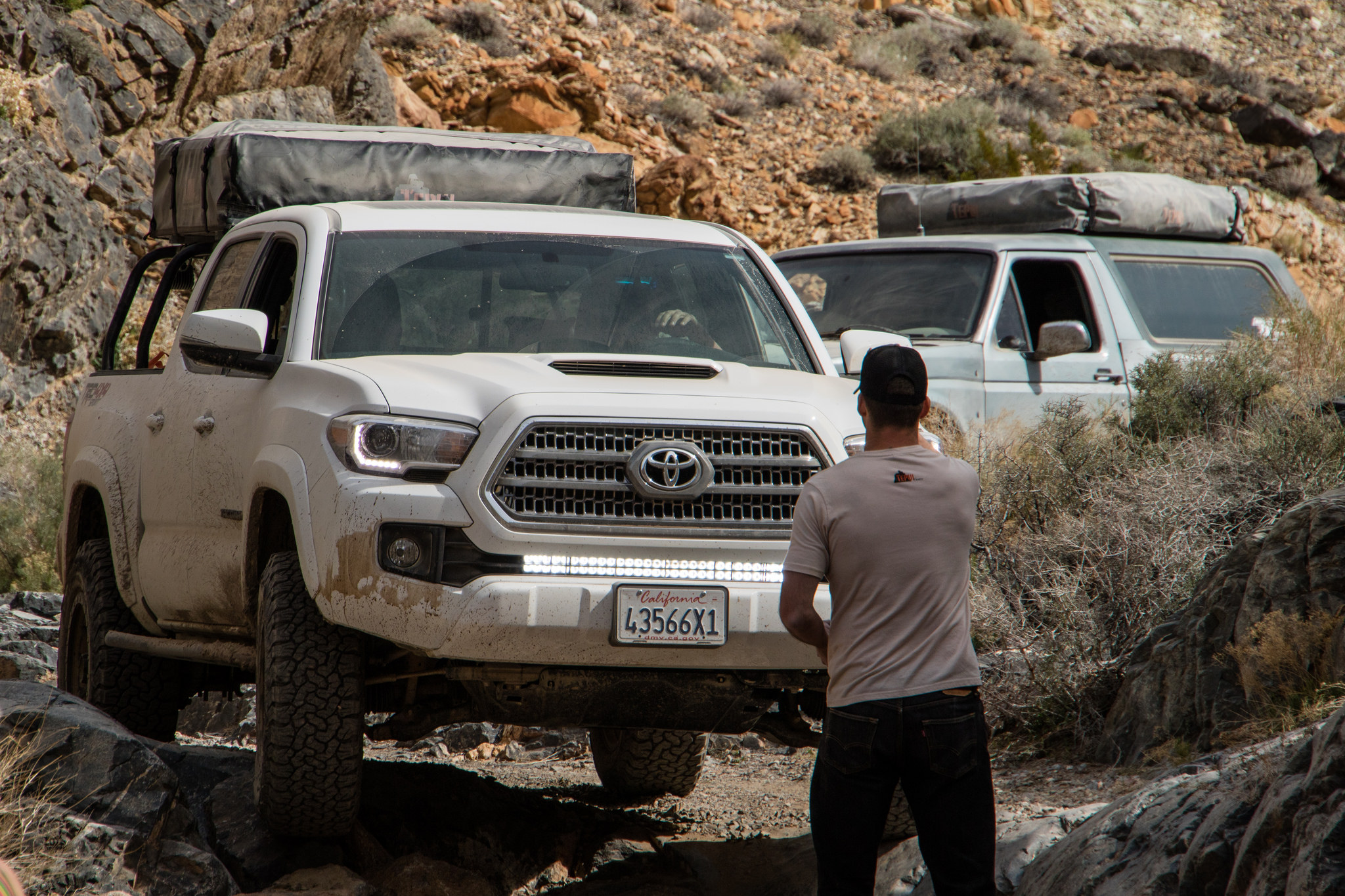
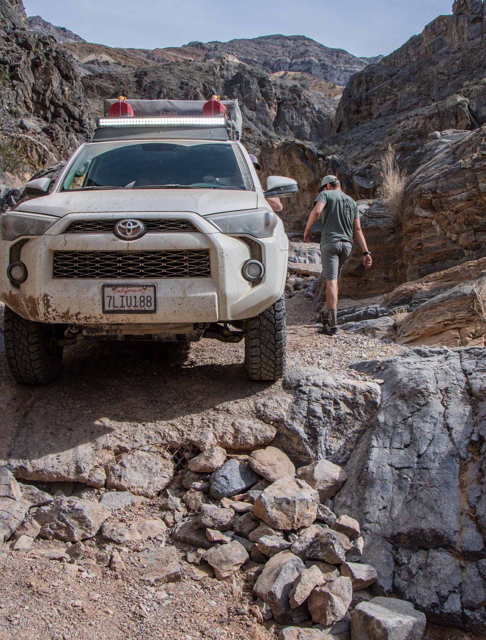
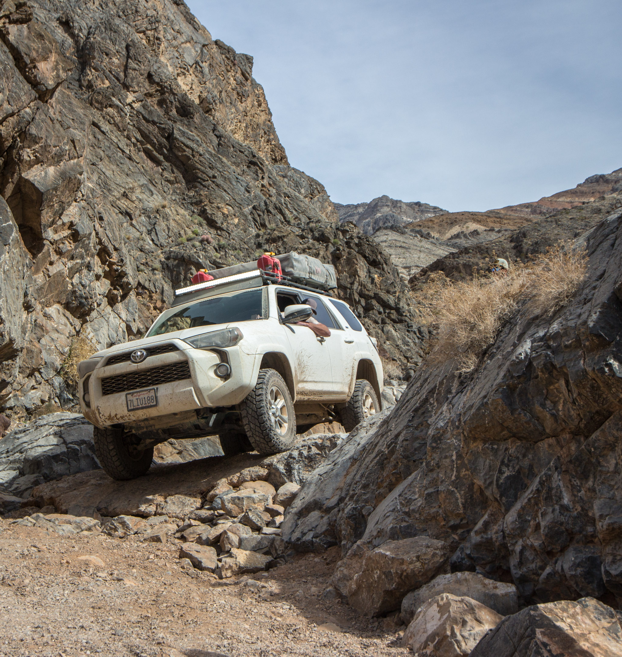
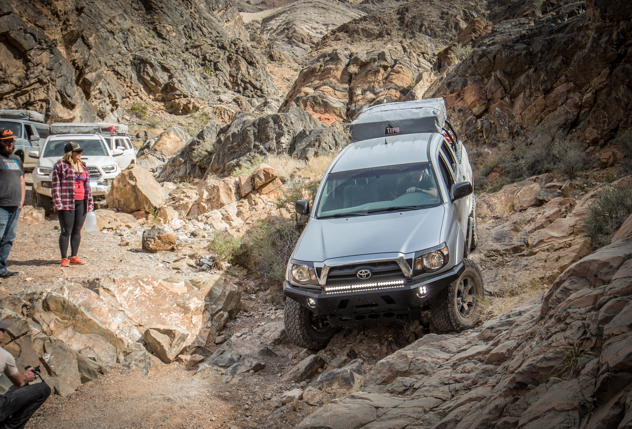
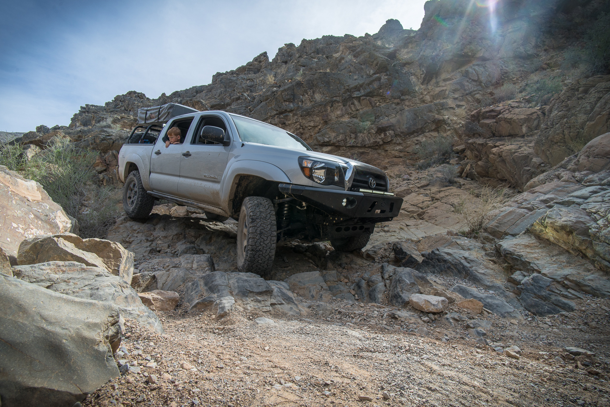
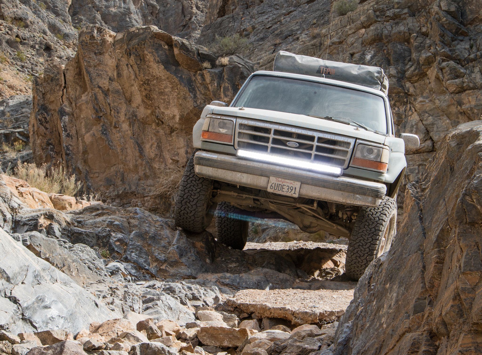
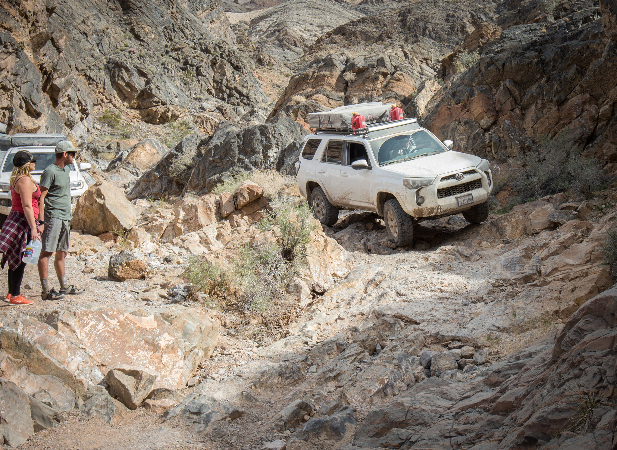
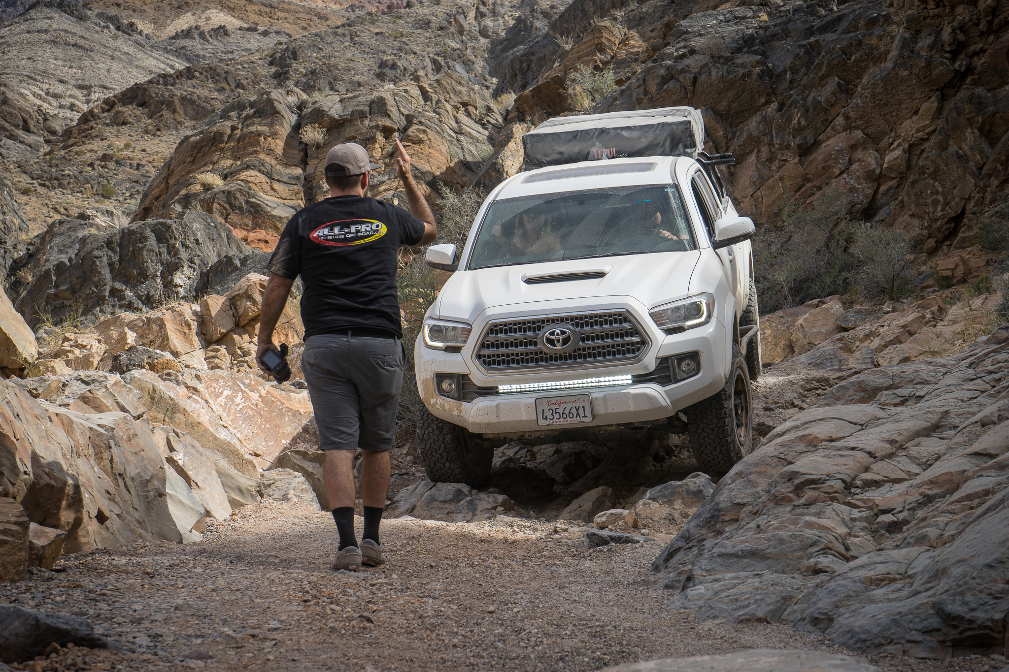
Reluctantly, we finished up our snacks and set upon what would be the most challenging section of the day, Mengel Pass. Between the Geologist Cabin and the pass, another camp rests tucked back into the western hills of Butte Valley, Russell's Camp.


David Plueger Photography

So it was decided.
2 dogs, 3 days, 4 vehicles, 9 people, 920 miles.
Perfect.
Starting off, all vehicle underwent full inspection, repairs and various upgrades to ensure there would be no problems once out in the remote back-country. One of our greatest strengths is ensuring the vehicle are up to the task, eliminating any preventable failure before we get on the trail.
Now we just had to wait until our departure date....
Thursday couldn't go by fast enough. This adventure had been planned for well in advance, finally reaching a point where mere hours were separating unproductive work time from a good time.
Then the clock struck 5 and The Adventure Continued...
That night we drove out to our first nights camp in the Avawatz Mountains, just south of DVNP. It felt good to be back to somewhere familiar, yet new. We lit up a nice camp fire and drowned ourselves in conversation about what the following days would bring.
Woke to a crystal clear morning that gave us our first view of the surroundings. We've been very fortunate when it's come to weather for our trips, and this one was no exception. No fast moving air, rain or temperature extremes.
The Ibex Sand Dunes lay off in the distance
Although the weather was great for us, months prior Death Valley had been pounded by several severe storms, soaking the usually dry ground and creating what is called a "superbloom". A rare occurrence where the valley floor explodes with color from wildflowers. It didn't disappoint while traveling through the southern portion of the park.
With all the flower power we could handle, the group turned west towards Butte Valley. Our route from the desert floor through the mountain range is believed to be the same passage used by the Forty Niner's on their historic and deadly trek to reach the gold fields in Northern California. Today, Warm Springs Canyon is easy going. scenic and hosts life to numerous mines and camps that were operated in the early 1900's.
PC - David Plueger Photography
PC - David Plueger Photography
PC - David Plueger Photography
Slowly making our way up the canyon, our first glimpse of a new valley came into view. The most iconic of the area, Stripped Butte and the Geologist Cabin, laid off in the distance.
What an amazing place. For years I have seen pictures online and have always dreamed of viewing the surroundings with my own eyes. Like many others, this site will never be brought justice through a photo. The valley wider, the sky larger, and the butte bigger then any lens could hope of capturing. So, it became our temporary home while we feasted on lunch and cold refreshments, soaking in the visuals around us.
I don't think any of us wanted to leave. Easily could have stayed the remainder of the day and got lost in conversation about the past, current and future. Try to imagine what it would have been like to live in such a place. Life must have been simpler, yet more demanding all at the same time...
Reluctantly, we finished up our snacks and set upon what would be the most challenging section of the day, Mengel Pass. Between the Geologist Cabin and the pass, another camp rests tucked back into the western hills of Butte Valley, Russell's Camp.
David Plueger Photography
Last edited: