ttora4runner
Expedition Leader
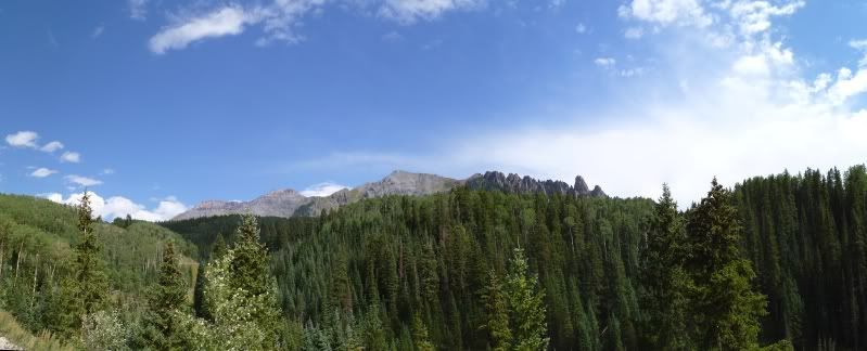
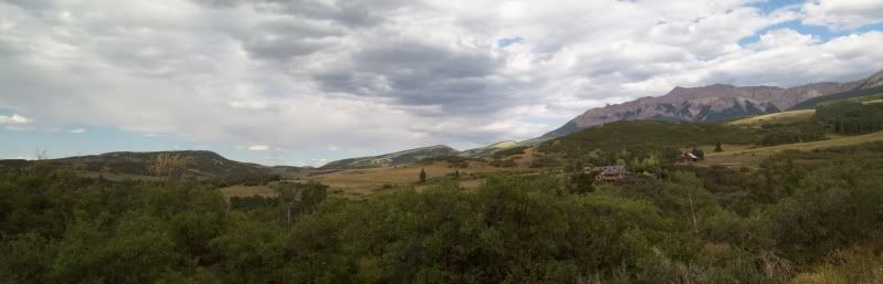
After passing though Ophir it was time to head up to Alta and Gold King Basin.
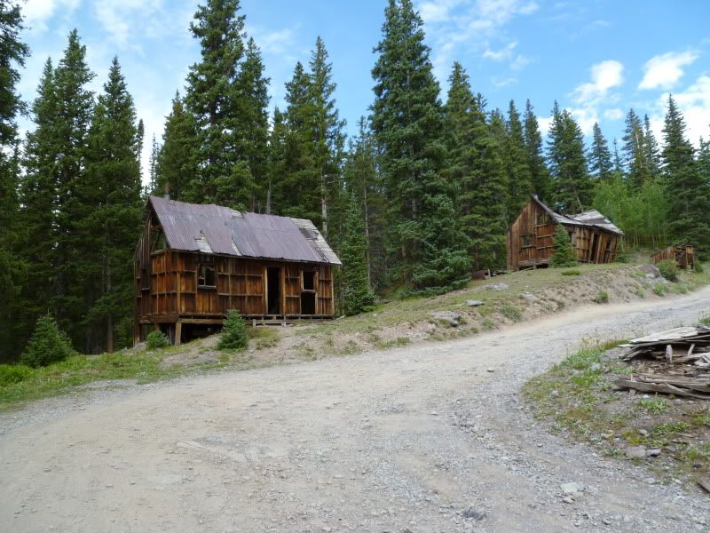
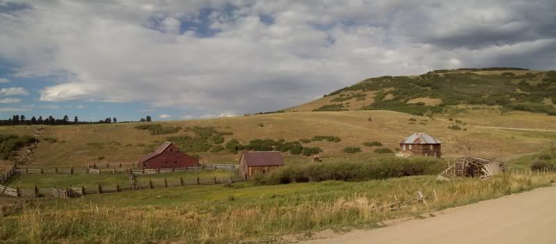
The remains of Alta Townsite.
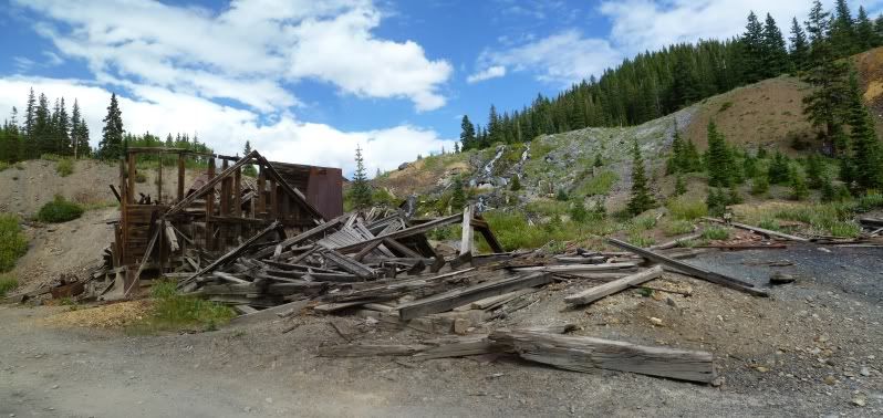
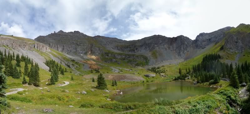
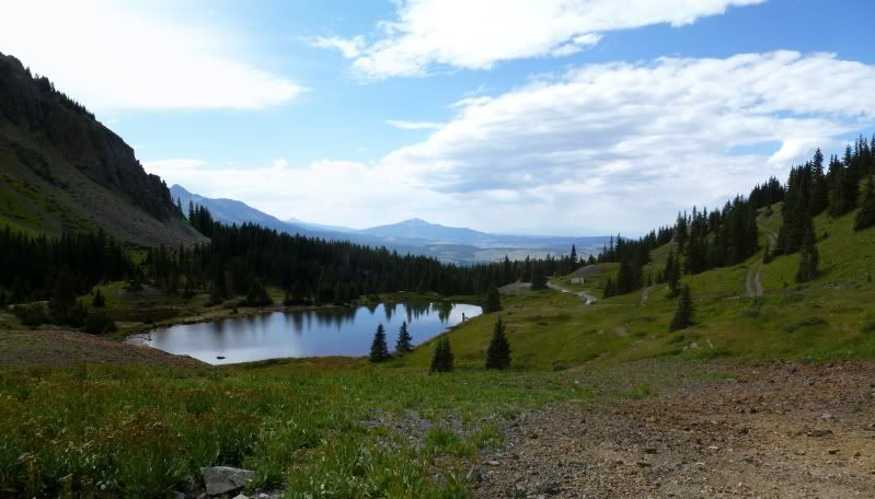
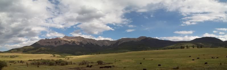
After spending a little time here if was on over to Gold King Basin
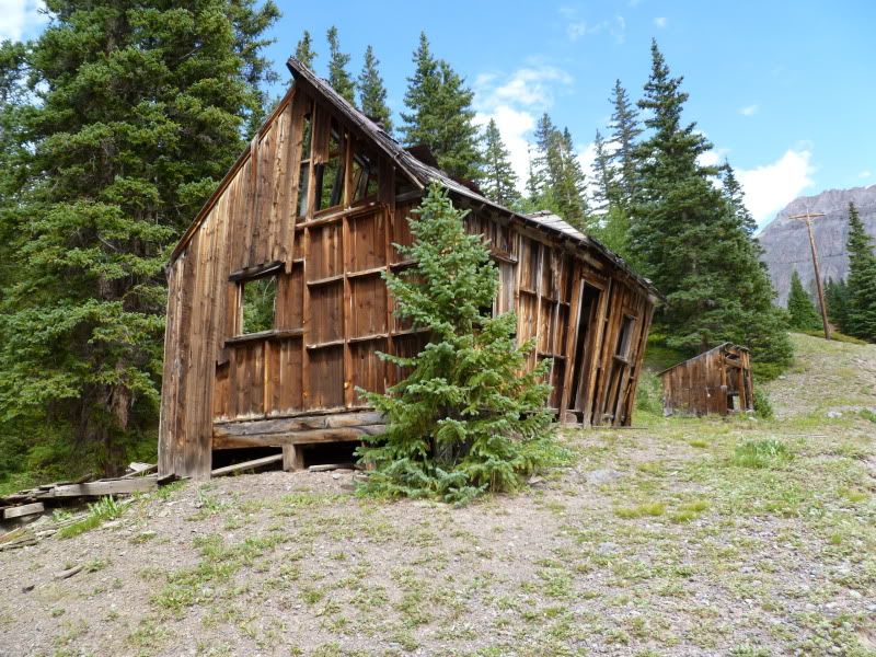
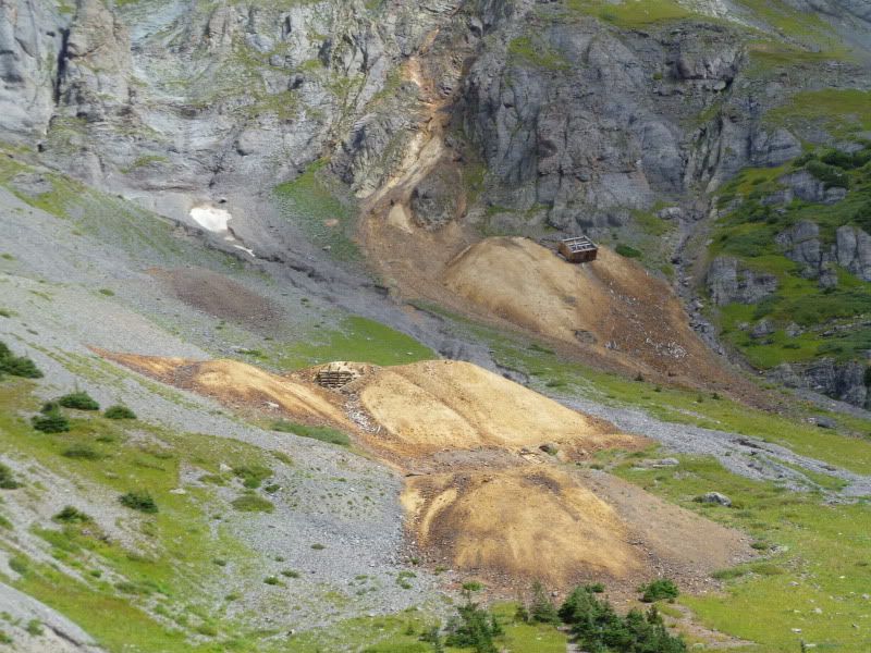
The old mining building that is slowly sliding down the hill.
The track on the right provide some unnecessary entertainment for me. I had originally planned to just walk up to see where it went but being me as I neared it I just said “screw it” and decided to drive on up. Why, did I do this. As the track near the top was just barely wider than my 4runner and was a dead end. The only way down was to back down to a small clearing to try a 5 point turn to get facing the right way so I wouldn't have to attempt back down the hill which provided to be quite entertaining and provided some new scratches. Lesson learned 'listen to your gut the first time around'
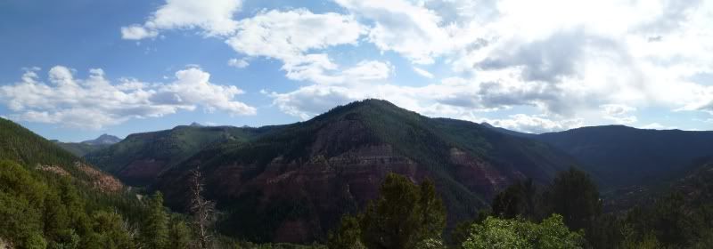
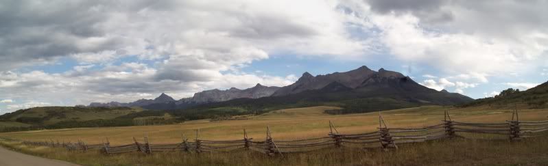
After that little bit of entertainment and having explored up the near Alta Lake some (which will provided a future area when/if I return). It was time to head back to Ouray. Intestead of sticking to pavement for the entire way back I headed off along San Juan Country road 58P which is a nicely graded gravel road that cut some time and miles and provided some high speed driving. HeHeHe.
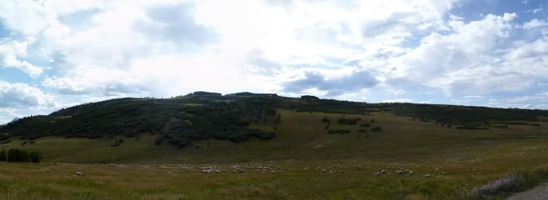
Lots of sheep, this was only about half the herd.
Once back at the camp it was the same as usual dinner around the campfire and catching up on some reading. I had been thinking thought out most of the day if I should just back up my gear and sleep in the back of car or to just get a little earlier to backup since I wanted to be back up though the construction traffic in Utah before things got messy. Needless, to say I just got up early.
The remains of Alta Townsite.
After spending a little time here if was on over to Gold King Basin
The old mining building that is slowly sliding down the hill.
The track on the right provide some unnecessary entertainment for me. I had originally planned to just walk up to see where it went but being me as I neared it I just said “screw it” and decided to drive on up. Why, did I do this. As the track near the top was just barely wider than my 4runner and was a dead end. The only way down was to back down to a small clearing to try a 5 point turn to get facing the right way so I wouldn't have to attempt back down the hill which provided to be quite entertaining and provided some new scratches. Lesson learned 'listen to your gut the first time around'
After that little bit of entertainment and having explored up the near Alta Lake some (which will provided a future area when/if I return). It was time to head back to Ouray. Intestead of sticking to pavement for the entire way back I headed off along San Juan Country road 58P which is a nicely graded gravel road that cut some time and miles and provided some high speed driving. HeHeHe.
Lots of sheep, this was only about half the herd.
Once back at the camp it was the same as usual dinner around the campfire and catching up on some reading. I had been thinking thought out most of the day if I should just back up my gear and sleep in the back of car or to just get a little earlier to backup since I wanted to be back up though the construction traffic in Utah before things got messy. Needless, to say I just got up early.
Last edited: