Rallyroo
Expedition Leader
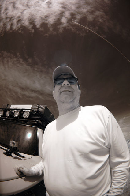
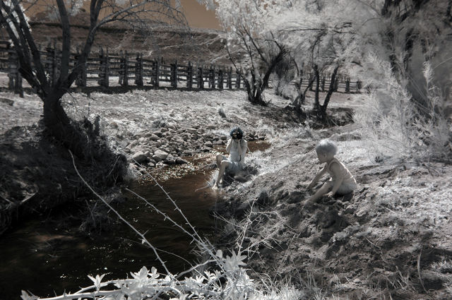
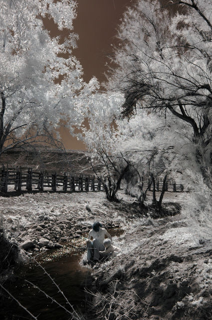
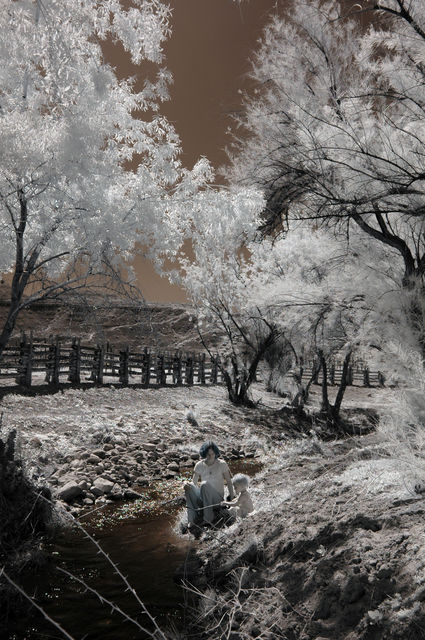
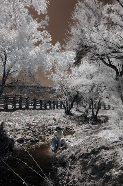
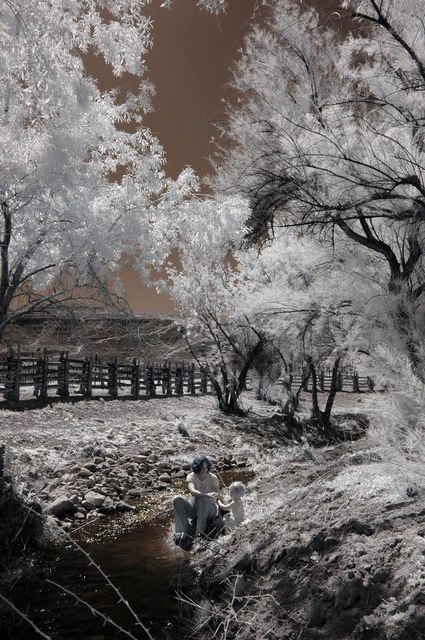
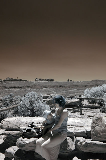
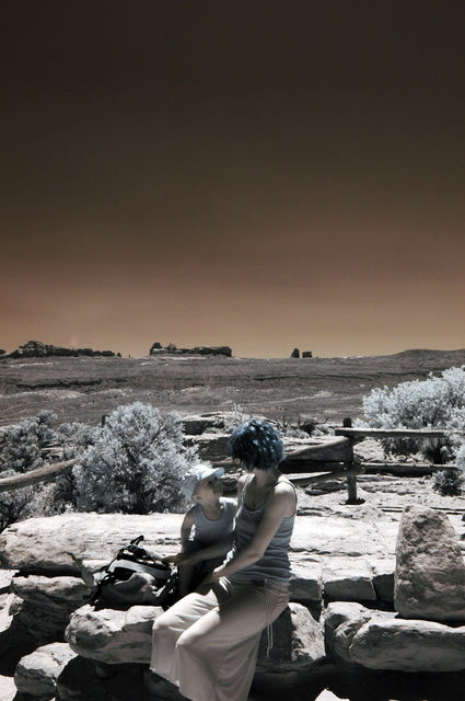
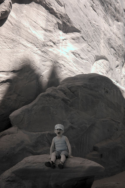
SwiCago said:My 2yr olds portable toilet ... LOL
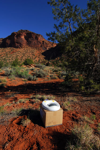
Oh nice. A DIY portable toilet system. Haha
SwiCago said:My 2yr olds portable toilet ... LOL
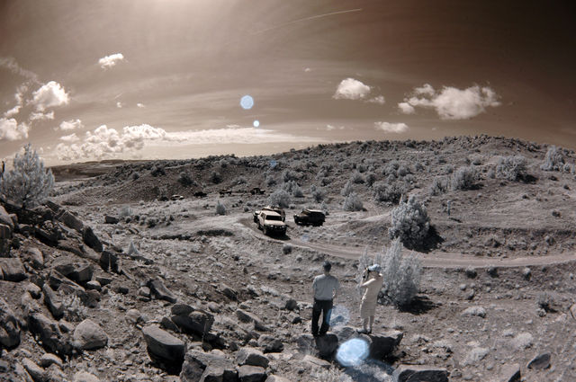
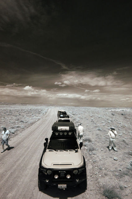
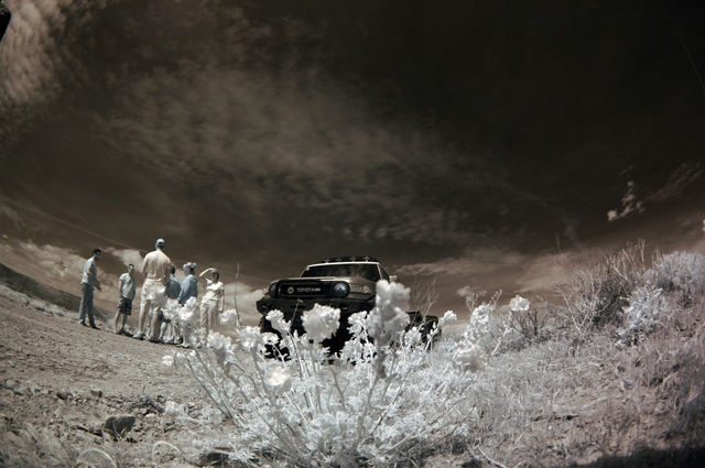
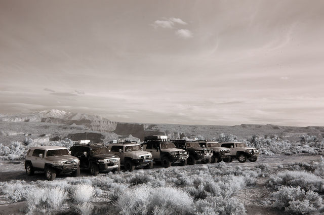
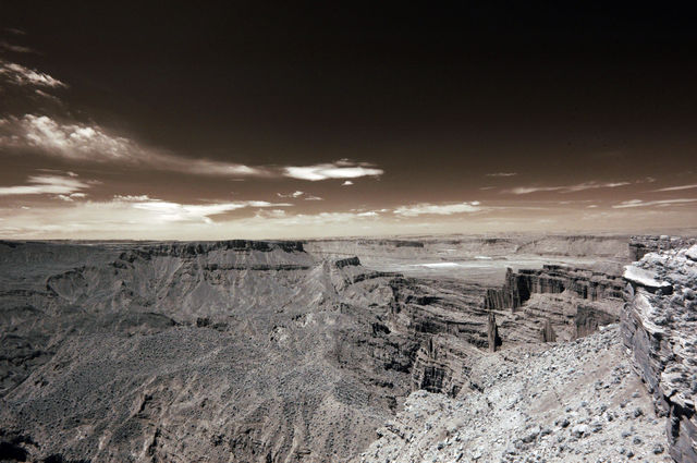
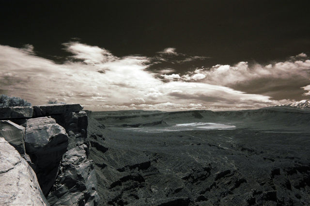
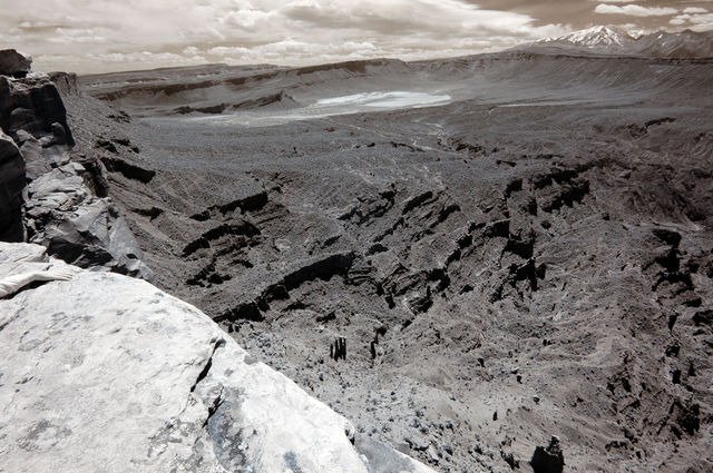
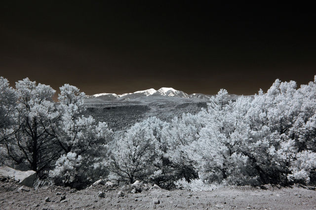
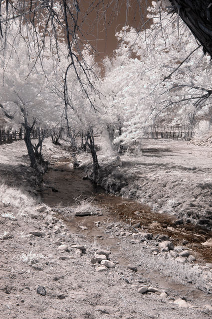
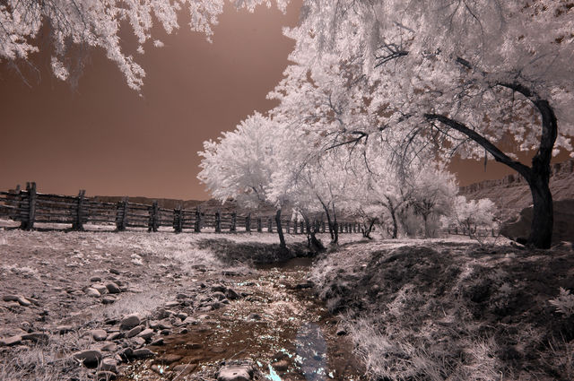
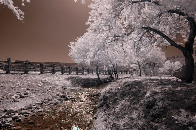
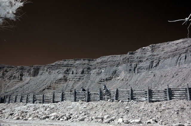
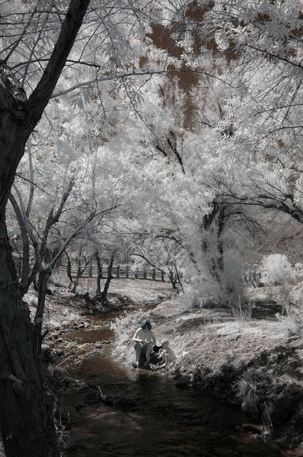
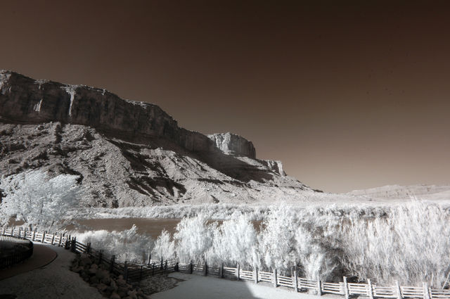
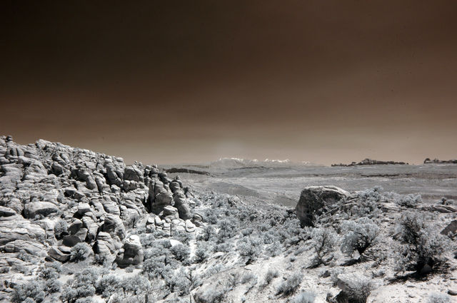
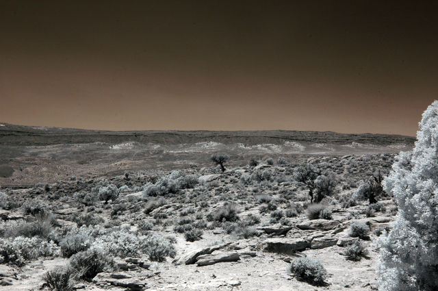
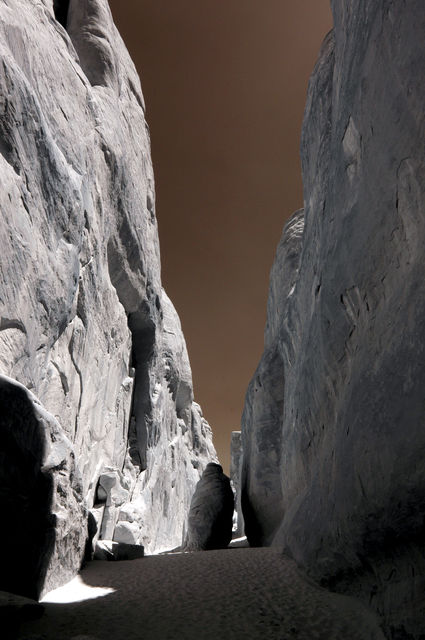
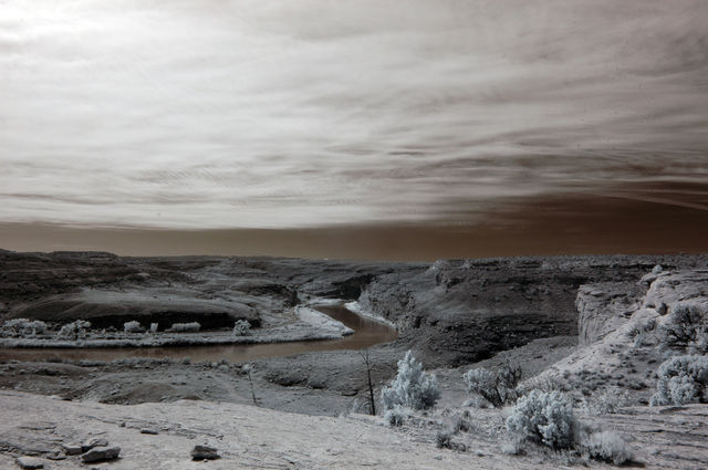
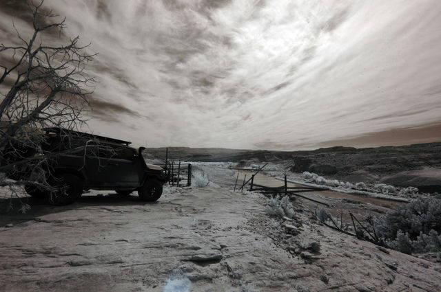
Wow! I'm suprised you guys went all the way out to the singletrack portion along the river near Fish Ford. Those eroded spots are nightmarish as you get close to the river. We just finished this trail too, on mtn bikes.
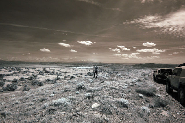
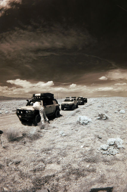
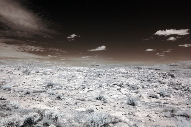
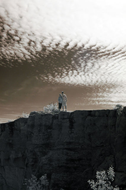
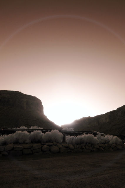
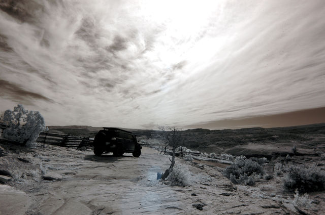
Looks like a good time!
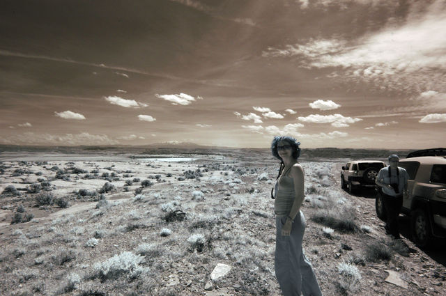
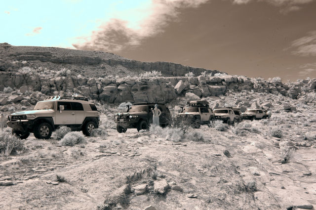
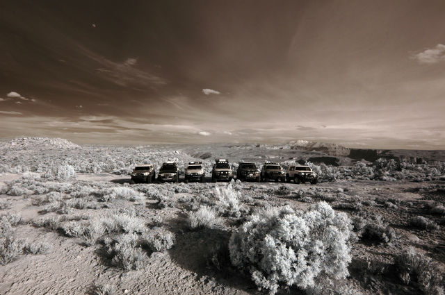
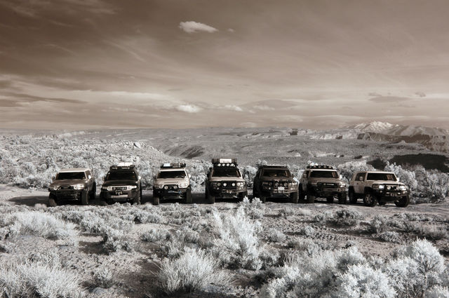
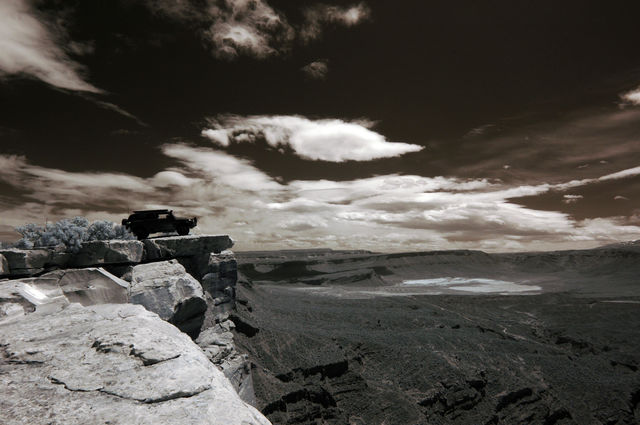
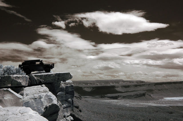
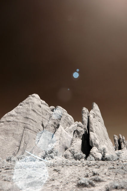
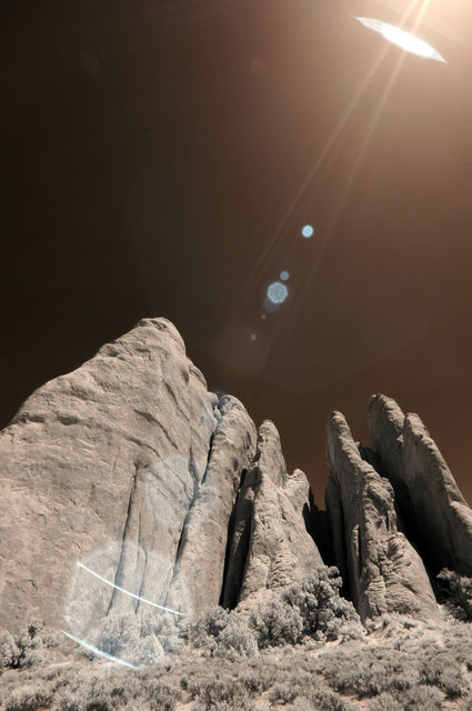
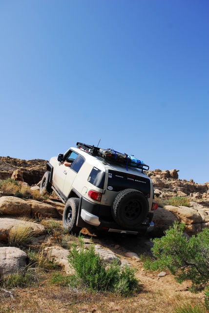
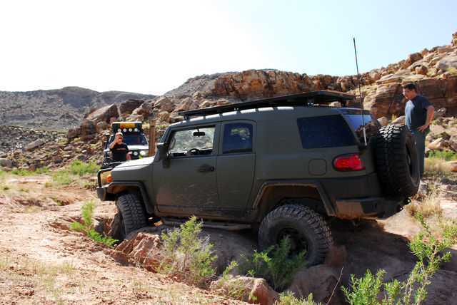
Great shots! What was the starting point for this trip? I love that green FJC, looks wicked.
Oh nice. A DIY portable toilet system. Haha
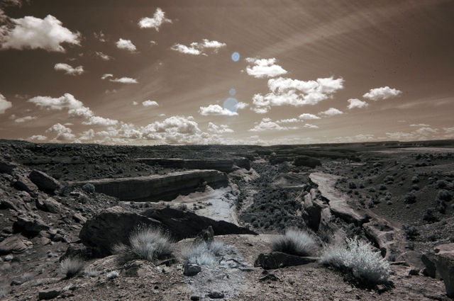
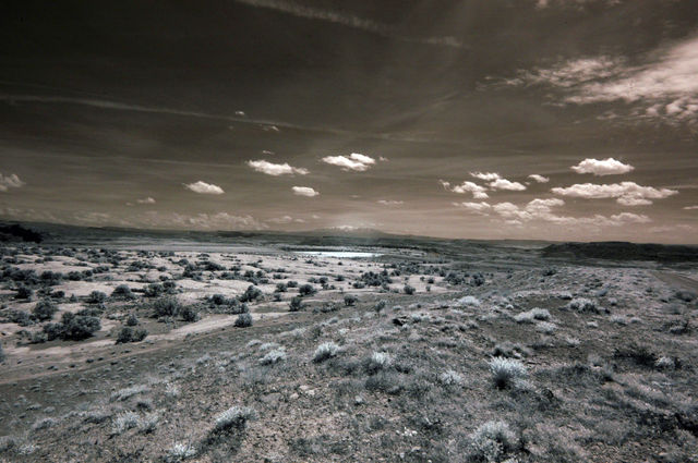
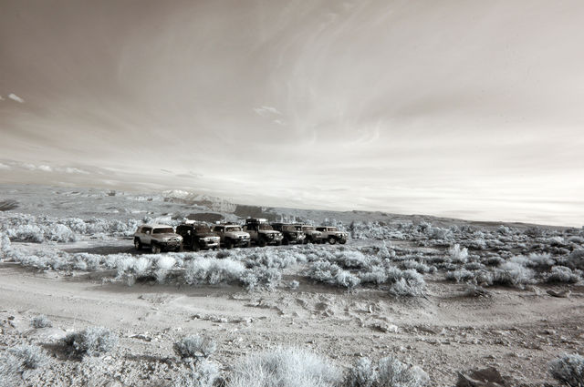
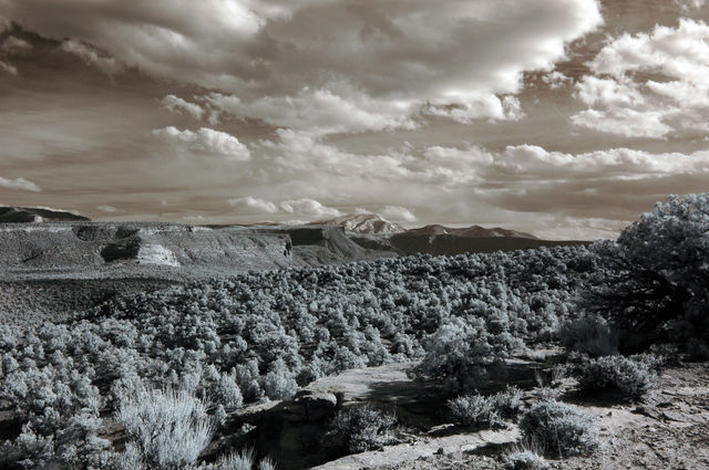
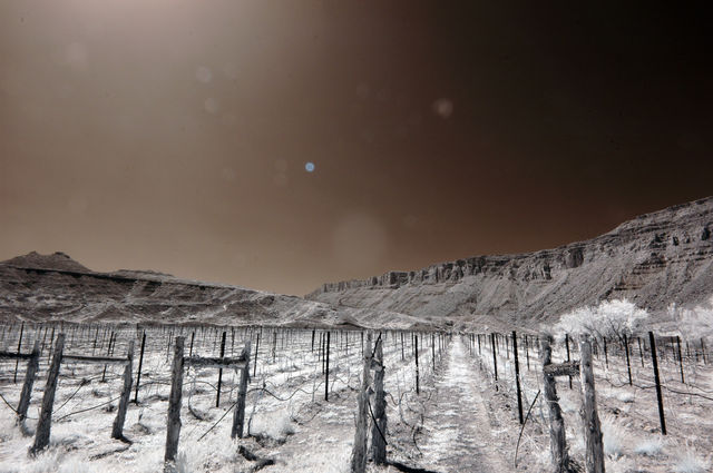
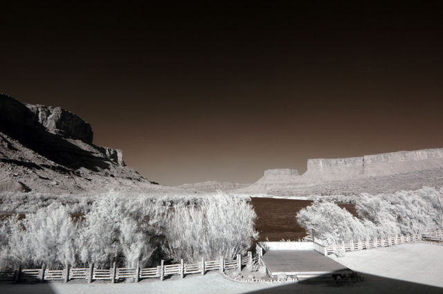
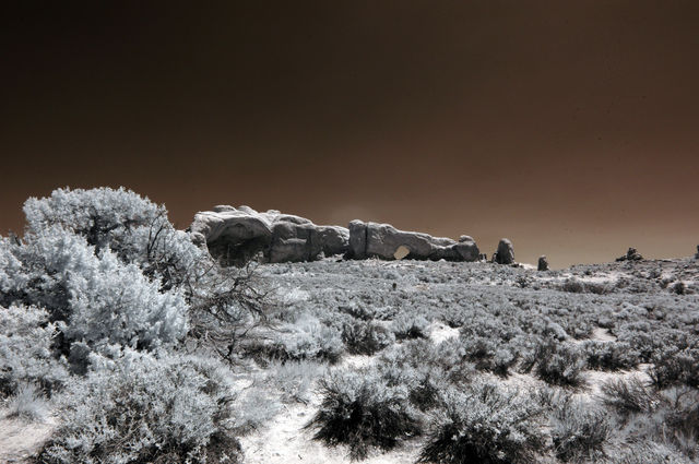
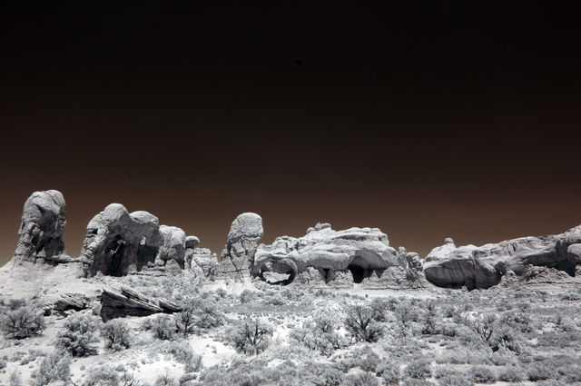
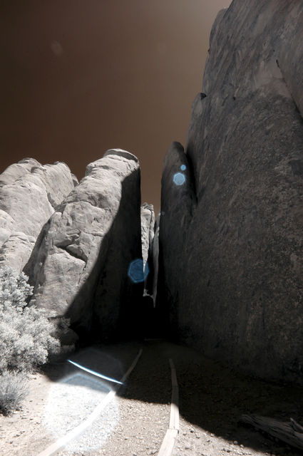
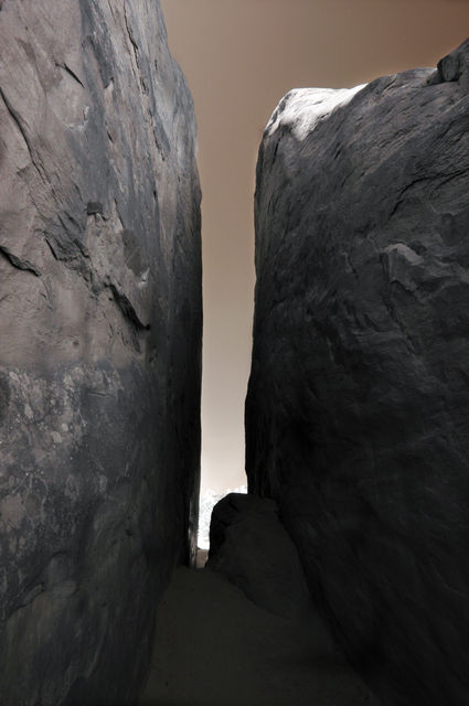
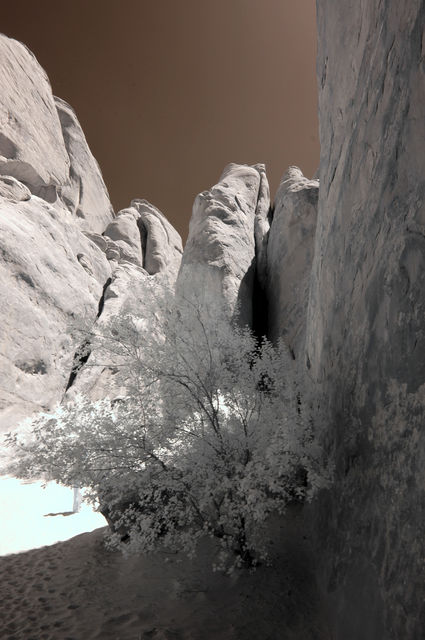
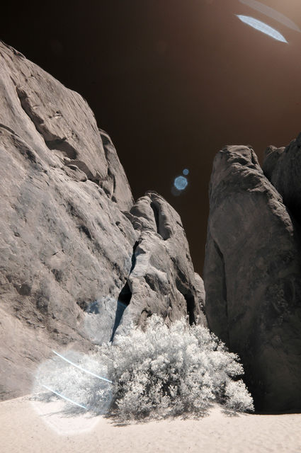
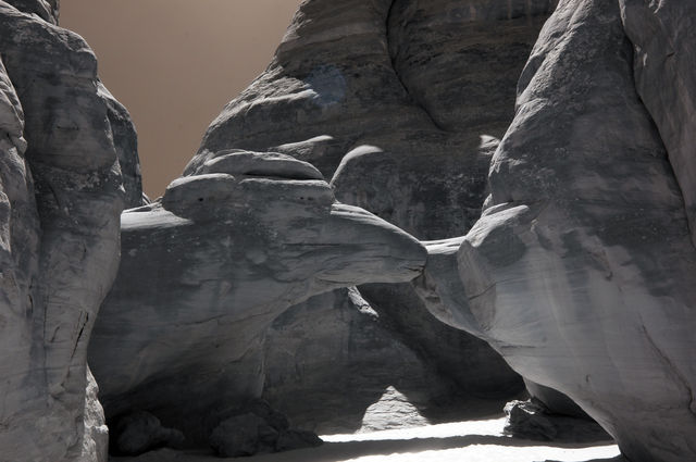
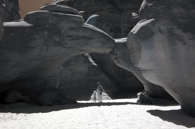
Where are these shots taken?
I can't seem to place them on the recognized Kokopelli trail?
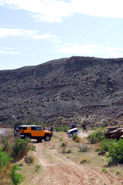
The "recognized" (I guess that all depends who you talk to) would be to turn off prior to the single track boundary (~ 1mile north of the Colorado River) and cross Cisco Wash, joining the highway (128) for ~ 3 miles until turning off west again on the Dome Plateau portion of the trail.