McMurdo Dry Valleys LTER, Antarctica

Ducks

Adventurer
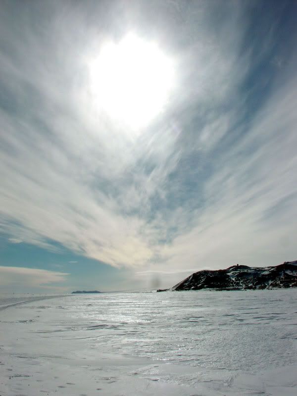
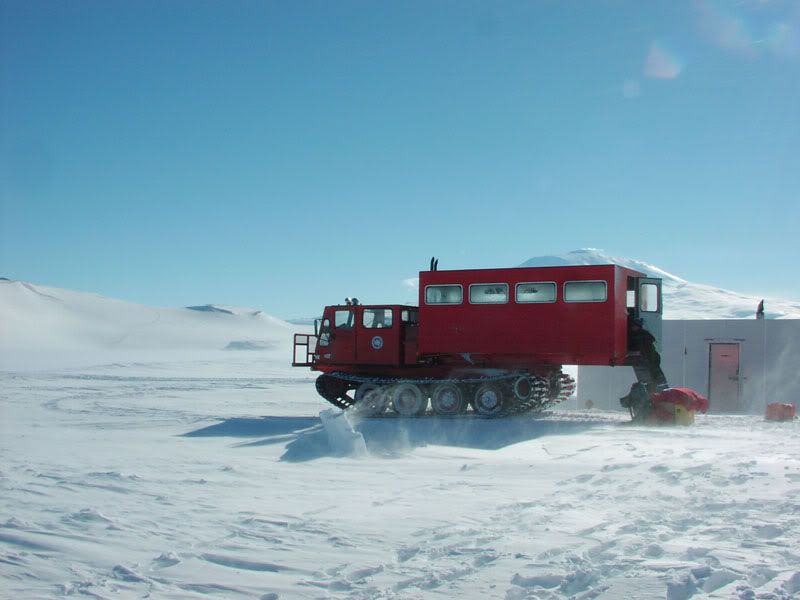
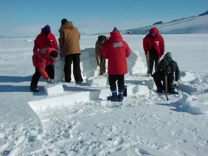
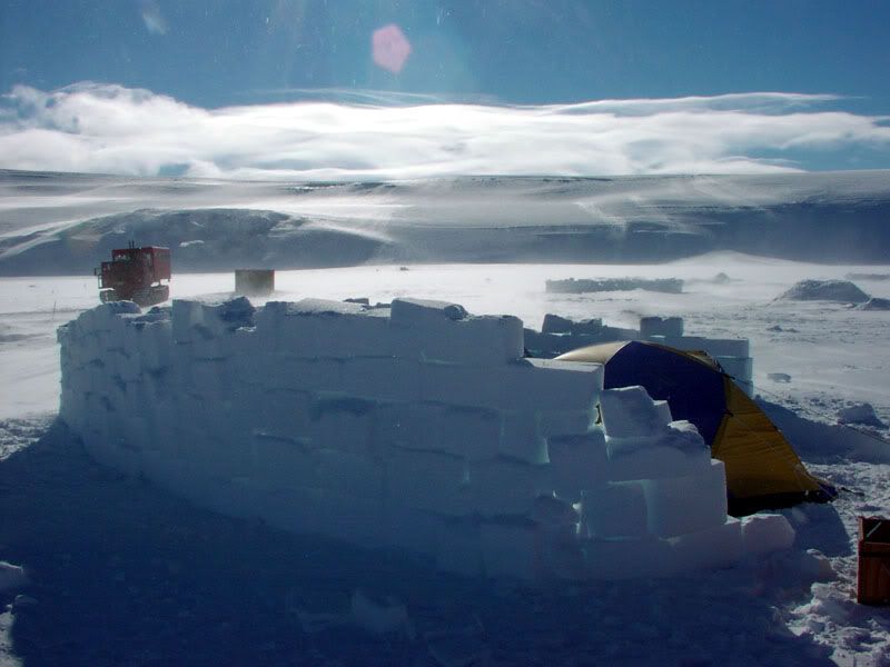
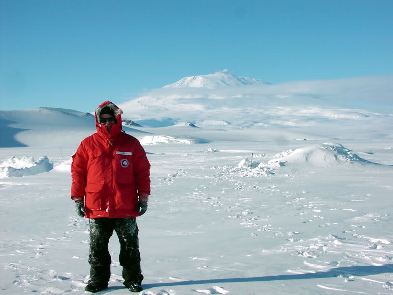
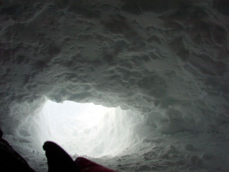
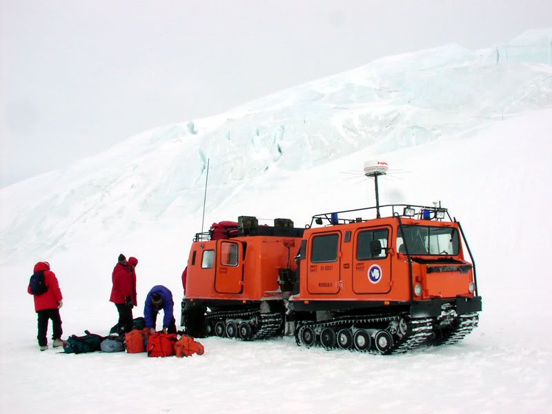
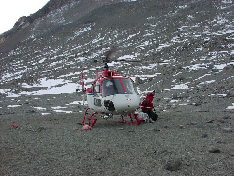
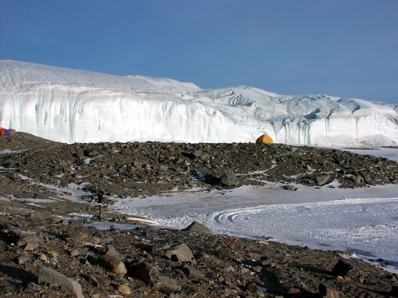
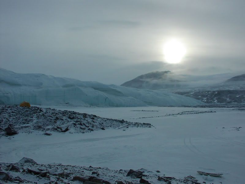
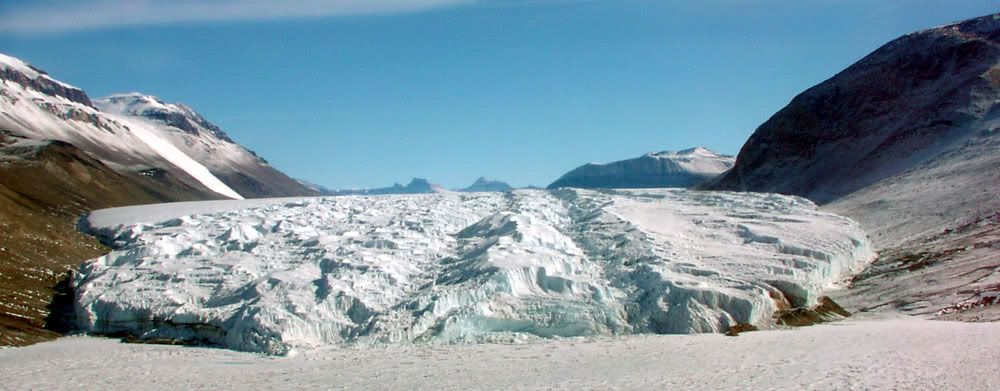
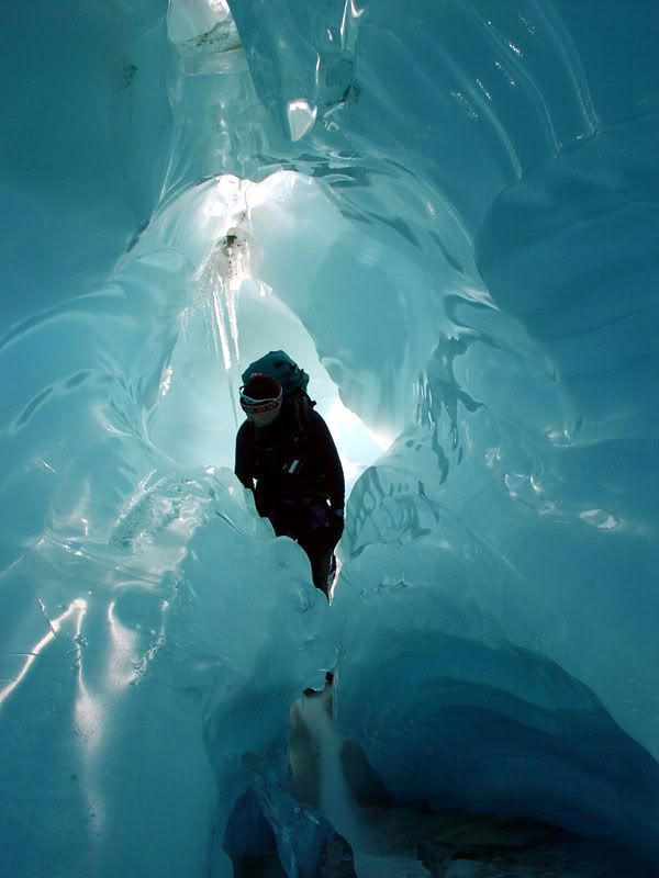
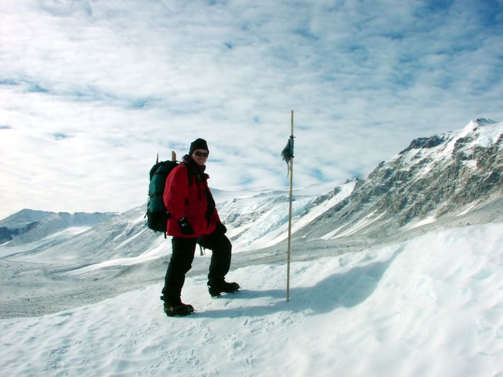
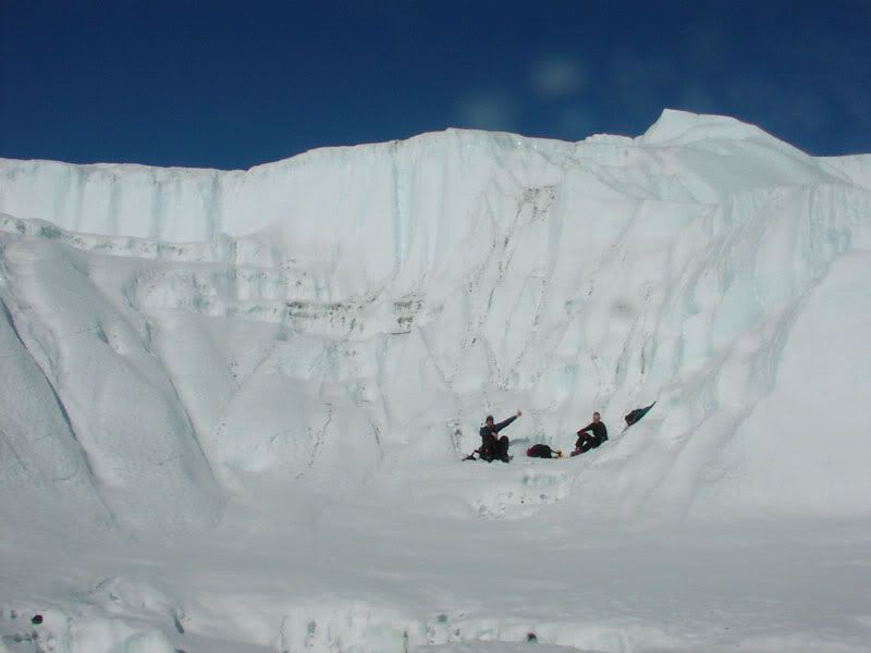
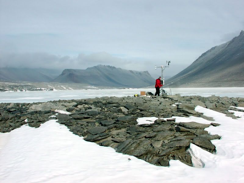
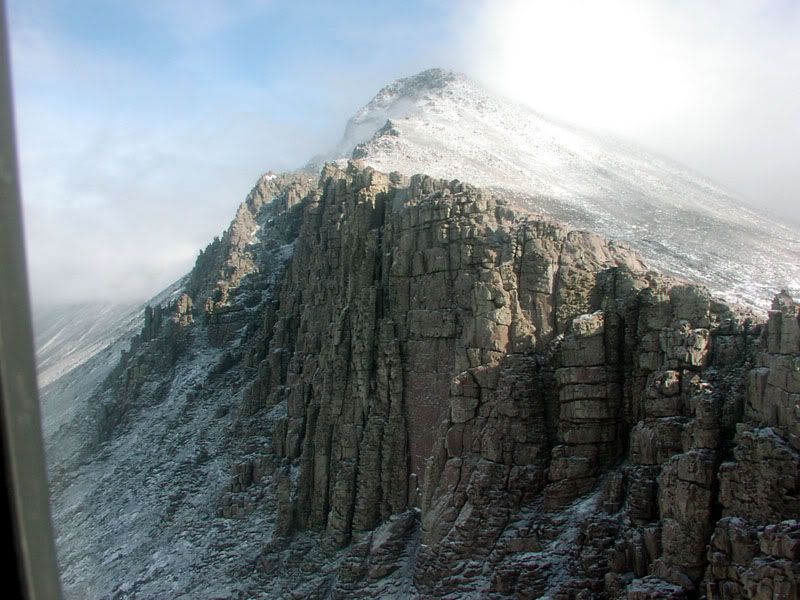
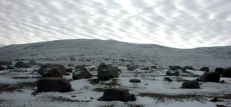
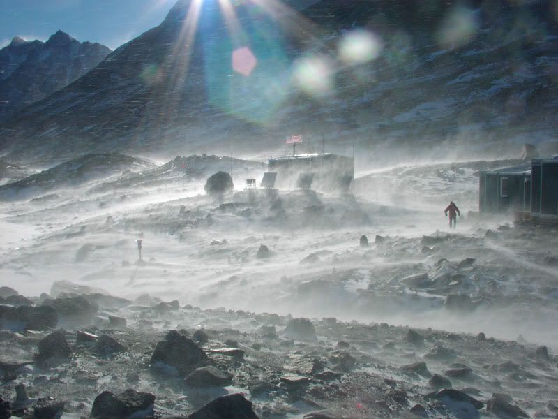
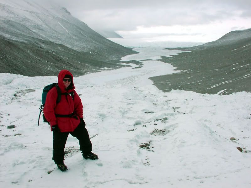
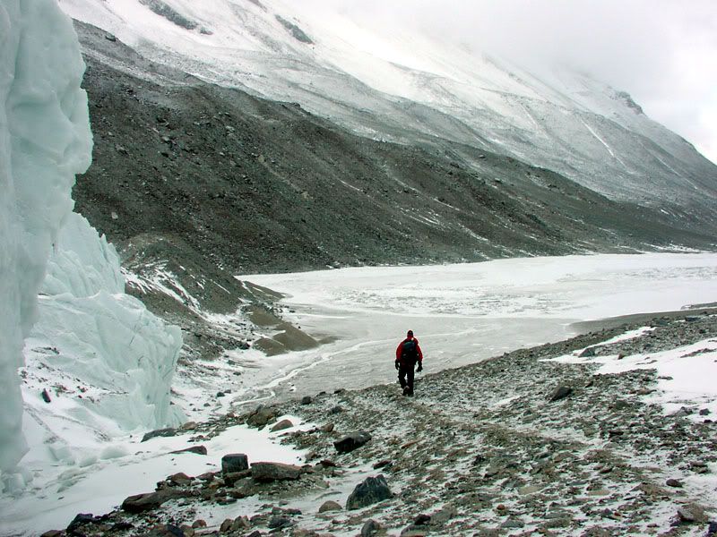
Hello All. Thought I would share a few photos of my time in Antarctica. I was in the McMurdo Dry Valleys, Antarctica in October, November, & December of 2002. I was there for my Master's research. I was using radar satellites to track melting ice. The melting ice provided the water needed for life in this very desolate desert. LTER stands for Long Term Ecological Research site. LTER sites are scattered throughout the US but also include two sites in Antarctica and one near Tahiti. The McMurdo LTER has applications to life on other planets and contains some amazing adaptions of organisms to thrive in such a hostile environment. Anyways here are just a few photos from my time down there.

:beer: Chad
 

Ducks

Adventurer
McMurdo Ice Shelf. We flew on a military transport plane from Christchurch, New Zealand to McMurdo Station, which is on Ross Island. The runway for the plane is on the ice shelf. As the summer progresses, the ice shelf gets too thin and the air strip is moved to a shorter airstrip. I forget which plane I flew down on. I flew back on a C-130. It's a six hour trip in jump seats (which means your shoulder to shoulder and knee to knee). The flight back was nine hours. This is the ice shelf that extends out off of McMurdo Station.

PB020006.jpg
 

Ducks

Adventurer
Before deploying to the McMurdo Dry Valleys, we went through some survival training. This was a very slow moving vehicle out to the snow fields.

PB040013.jpg
 

Ducks

Adventurer
Building a snow wall was actually fairly easy. It was to keep the worst of the wind off of the tents so they don't get blown over.

PB040020.jpg


Completed snow wall with the tent sitting in the dug out depression from where we had dug out the snow.

PB040021.jpg
 

Ducks

Adventurer
Me in my issued Antarctica gear with my snow cave (that is the bump to the right). Mount Erebus is in the background. It is an active volcano and has an open lava pit (one of only three volcanoes in the world have open lava pits.)

PB040027.jpg


Inside the snow cave. It was nice and warm. The only problem is that I forgot to bring a watch and I had no clue what time it was. The sun never sets and I had to keep sliding out of my snow cave to figure out what time it was.

PB050029.jpg
 

Ducks

Adventurer
Haaglund transport to my one day of glacier travel school. This vehicle was a lot faster than the last one. It is designed such that if the front section falls into a crevasse the rear section can backup and pull itself out of the crevasse.

PB060042.jpg
 

Ducks

Adventurer
A-Star Helicopter. We actually flew out to our field camp at Lake Hoare in a B212 with all of our gear. But once we were there, it was the A-Star that would pick us up each morning and drop us at a glacier or meteorological station. We would spend the day hiking and then the A-Star would come back and pick us up at the end of the day.

PB100025.jpg
 

Ducks

Adventurer
Midnight. We stayed in our own two-man tents at the field camp. When I first arrived in October, we would take a container of hot water with us to bed to keep us warm during the night. Canada glacier is in the background. Lake Hoare is in the foreground.

PB100026.jpg


In the morning after some snow. Lake Hoare is the flat ice-covered area. Canada Glacier is in the background.

PB130002.jpg
 

Ducks

Adventurer
Taylor Glacier from the A-Star. Lake Bonney is in the foreground. You can see two canyon like drainage areas. We were dropped off at the top of the glacier and then hiked down the right canyon.

PB160095.jpg
 

Ducks

Adventurer
Inside Taylor Glacier. During 2001, there was a huge melt event. The water cascading off of Taylor glacier carved these tunnels inside the glacier.

PB160053.jpg


An ablations stake on Taylor glacier. These are used to determine how much ice is lost each year from the ablation zone of Taylor glacier. I am always surprised at how well crampons work on glaciers.

PB160045.jpg


On top of Taylor Glacier at the beginning of the canyon that we walked down.

PB160055.jpg
 

Ducks

Adventurer
Meteorological Station with Lake Vanda in the background. We serviced all 13 meteorological stations that were in the McMurdo Dry Valleys. One was blown over in a blizzard and we went out in the blizzard and repaired it. It is very important to have a continuity of data.

PB120040.jpg
 

Ducks

Adventurer
View from my tent during a katabatic wind storm. Buildings are the kitchen and labs. My tent ripped and blew over so we had to put another tent up for me.

PB170011.jpg
 

Ducks

Adventurer
On top of Suess Glacier with Lake Chad in the background.

PB220014.jpg


Side of Suess Glacier with Lake Chad.

PB220016.jpg
 

Forum statistics

Threads
185,906
Messages
2,879,587
Members
225,581
Latest member
vertical.dan
Top