DaveInDenver said:
Yeah, those names sound familiar. I have to take issue about being a cake walk, having broken a finger trying to find a line. None the less, I checked my guide book when I got home tonight and it says White Knuckle Hill is accessed via Pritchett Canyon. So I'm just confused now.
Last year there was a knucklehead driving the trail during the race who tried to find a bypass around Nose Dive/High Dive/Upchuck and got the BLM guy mad. The gov'ment man said there is no legal bypass to this obstacle, but it could have easily been just that the fella was being quite belligerent about driving right through a really obvious event and irritating the BLM rep.
I really didn't want to continue off topic, but I want to address Dave's concern.
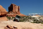
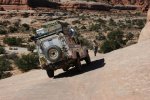
I think some of the confusion comes from me speaking from the 4wd perspective and you speaking from the biking perspective. The "Behind the Rocks" trail seems to traditionally be driven by trucks starting from Hwy 191 south of Moab. The last major obstacle of this trail is White Knuckle and it is indeed in the vicinity of the top of Pritchett Canyon.
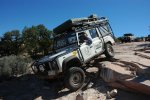
If I remember correctly, every major obstacle except White Knuckle on the BTR trail had a bypass. I'm pretty confident there was a split in the trail just prior with the route to the main obstacles labeled by name. I must assume that the alternate trail at this fork would bypass said obstacles.
I didn't mean to downplay those hills by calling them a cakewalk. I was trying to emphasis what a crazy hill White Knuckle has become. Sorry for all the confusion I caused!
Please don't shoot this newb for being off-topic, again!

eepwall: