AZCPP
Adventurer
Here are a few pics from the run we did last Sat. and Sun. Thanks to Ursidae69 and alia176 his family for joining us. I was nice to meet all of you. Sorry, I didn't take too many pictures.
Rock Art Ranch.

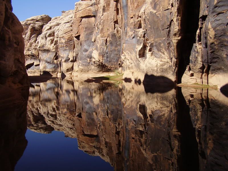
Canyon where there are 100's of Petroglyths.

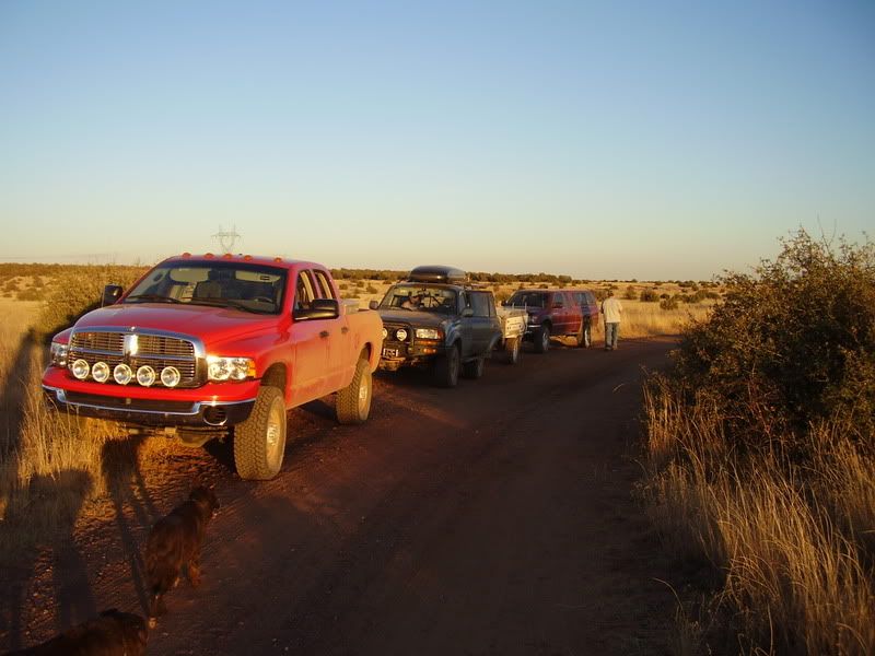
Taking a break.
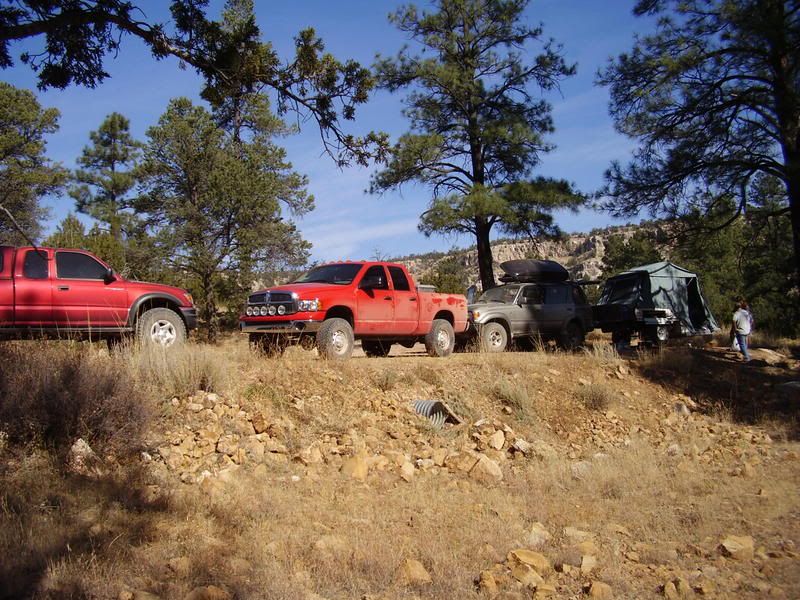
Camp.
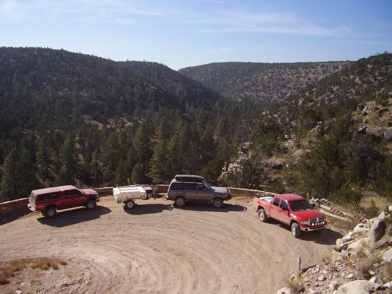
On the road climbing out of the canyon we camped in.
Rock Art Ranch.
Canyon where there are 100's of Petroglyths.
Taking a break.
Camp.
On the road climbing out of the canyon we camped in.


