Southern Utah Wanderings

IntrepidXJ

Explorer
Day 4 | Tuesday, October 6, 2009 | Starting Odometer: 144260

IMG_9286.jpg

It was a great start to a day. The wind had finally died down overnight and I woke up to a great sunrise over Lake Powell from Alstrom Point. Since it was my mom's birthday and I had full signal up there, I gave her a call to wish her a happy birthday. I took some photos before packing up the Jeep and heading back to Big Water from some more gas.

IMG_9280.jpg


IMG_9289.jpg


IMG_9297.jpg


IMG_9305.jpg


Packing up
IMG_9320.jpg
 

IntrepidXJ

Explorer
The Moon
IMG_9325.jpg


IMG_9329.jpg


Instead of taking the route I came by, I decided to check out the Tibbet Canyon and Nipple Creek trails which formed a loop off off the Smoky Mountain Road not too far from Alstrom Point.

Tibbet Canyon
IMG_9343.jpg


IMG_9346.jpg


IMG_9349.jpg


IMG_9355.jpg


IMG_9358.jpg
 

IntrepidXJ

Explorer
Nipple Butte
IMG_9362.jpg


IMG_9363.jpg


Mushroom Shaped Rock along Nipple Creek
IMG_9370.jpg


After completing the loop, I headed up the long and dusty Smoky Mountain Road over the desolate Kaiparowits Plateau to Escalante. While the scenery along this road was nice....the highlight of the road was the climb up Kelly Grade.

Along the Smoky Mountain Road in the Glen Canyon NRA
IMG_9381.jpg


IMG_9385.jpg


Back into the GSENM
IMG_9386.jpg
 

IntrepidXJ

Explorer
Headed towards the Kelly Grade
IMG_9396.jpg


Climbing the Kelly Grade
IMG_9398.jpg


IMG_9404.jpg


Surrounded by great colors!
IMG_9408.jpg


IMG_9412.jpg


Overlook at the top of the Kelly Grade
IMG_9416.jpg
 

IntrepidXJ

Explorer
Further along the Smoky Mountain Road after some high speed driving across the top ;)
IMG_9423.jpg


IMG_9426.jpg


I made it to Escalante for a late lunch at the Golden Loop Cafe to decide where I would head that evening. I ended up deciding to take the Hole in the Rock Road east of town until it got dark and that's where I would setup camp. Along the way I stopped at the Devil's Garden to explore and took a bunch of photos. It reminded me of a smaller Goblin Valley with bigger and more spread out goblins.

IMG_9445.jpg


Metate Arch
IMG_9453.jpg


Mano Arch
IMG_9471.jpg


IMG_9485.jpg


IMG_9495.jpg


Further along I reached Dance Hall Rock as the sun was getting low in the sky. Made for some good photos.

Dance Hall Rock
IMG_9514.jpg
 

IntrepidXJ

Explorer
IMG_9522.jpg


Long shadows
IMG_9523.jpg


IMG_9528.jpg


IMG_9542.jpg


IMG_9560.jpg


In the end, I actually ended up reaching the Hole in the Rock just after sunset while there was still a little light left. Looks like I would be camping at the end of the trail near Lake Powell again.

Hole in the Rock, just after sunset
IMG_9580.jpg


IMG_9588.jpg


My campsite for the night
IMG_9586.jpg


Ending Odometer: 144445 | Total Miles: 185
 

IntrepidXJ

Explorer
Day 5 | Wednesday, October 7, 2009 | Starting Odometer: 144445

IMG_0014.jpg


Since it was getting dark pretty quickly when I arrived at the Hole in the Rock the evening before, I didn't really get any good photos. When I woke up today, I grabbed my camera and started shooting away :) I was up before sunrise and hung out for a little while until the sun was up in the sky...well, actually behind some clouds.

Storm rolling through in the distance
IMG_9589.jpg


Sun coming up behind some clouds over the Hole in the Rock
IMG_9628_29_30.jpg


IMG_9637_8_9.jpg


After taking a bunch of photos I was back on my way back to Escalante.

These markers marked the actual Mormon (Hole in the Rock) Trail. There was a rainbow in the distance when I shot this one.
IMG_9655.jpg


IMG_9674.jpg


IMG_9688.jpg


Old wagon tracks carved into the slickrock
IMG_9702.jpg
 

IntrepidXJ

Explorer
I stopped at this water carved wash for some more photos
IMG_9712.jpg


Still a bit away from Escalante
IMG_9739.jpg


IMG_9744.jpg


I was originally planning on heading back the way I came, but when I reached the turnoff for Left Hand Collet, I decided to give it a try. When I was at the Visitor's Center a few days earlier, I had inquired about the condition of Left Hand Collet (it is known to wash out frequently) and was informed by the ranger that it was washed out and impassible. I don't always take the ranger's word on road conditions, since it appears to me that their main goal is to keep as many people off of the difficult roads as possible (Though, I can fully understand why they would do that, too). I knew full well there might be a chance I would not make it through and would have to turn around and come back the same way, but that was a chance I was willing to take.

IMG_9752.jpg


IMG_9754.jpg


IMG_9764.jpg


IMG_9773.jpg


IMG_9785.jpg
 

IntrepidXJ

Explorer
IMG_9794.jpg


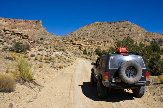
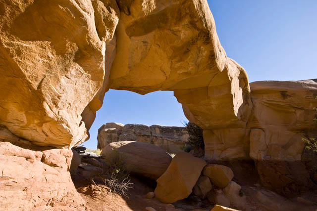
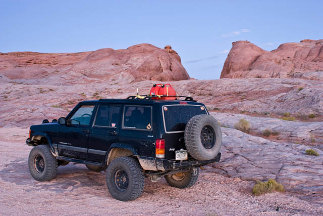
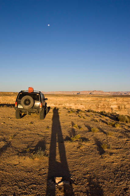
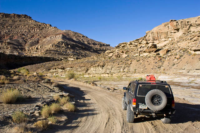
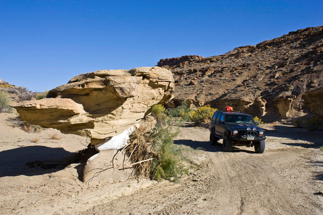
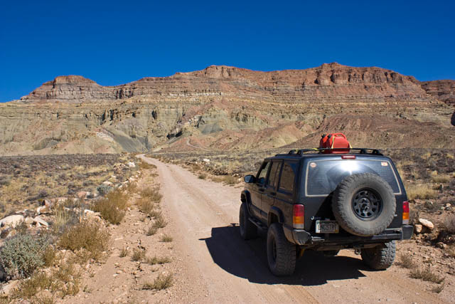
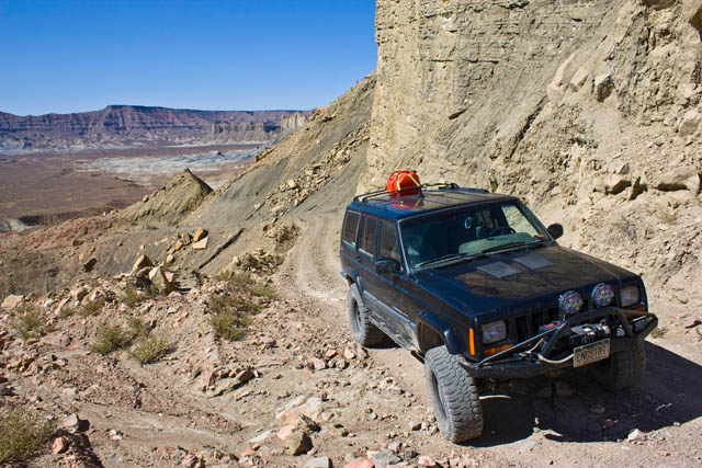
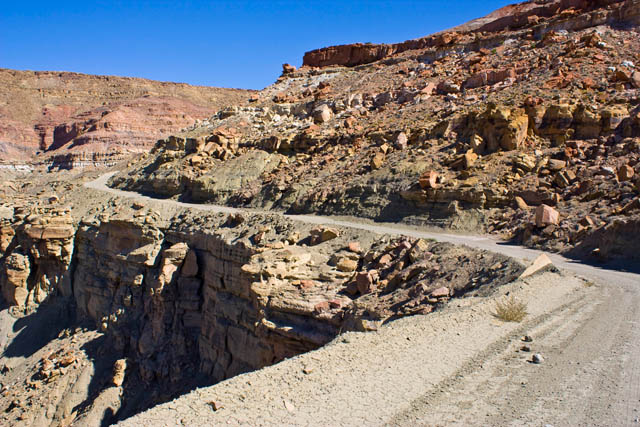
It turns out that even though there were signs at both ends of Left Hand Collet warning that it is currently impassible, I found out that it is just not the case. While I certainly would not take a stock SUV through this trail because it is a bit rough, any Jeep or modified SUV would have no problems with it. I never even needed to put my Jeep in 4WD to get through it. I'm glad I ended up trying this route, because the scenery was great. I evenutally found myself back at the Smoky Mountain Road again, and continued on to Escalante again.

Yeah right....
IMG_9796.jpg


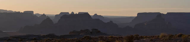
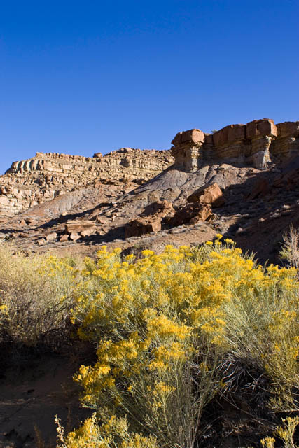
When i finally reached Escalante, I continued north until I was in Boulder again where I stopped at the Burr Trail Grill for lunch. The burger I had there was outstanding, and I would highly recommend it. The Burr Trail Grill is located on the corner of UT 12 and the Burr Trail, which was my next road to follow. Even though this road was paved much of the way, the scenery along the way was pretty nice as well...especially the stretch through Long Canyon.

IMG_9803.jpg


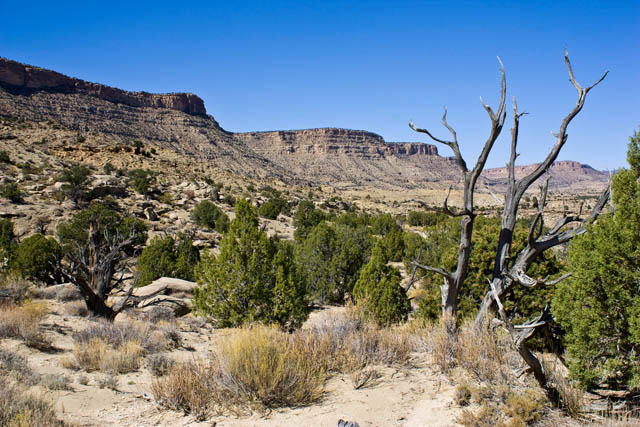
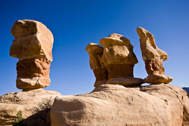
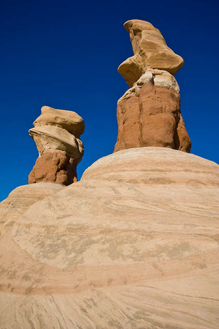
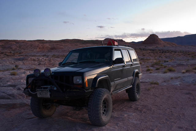
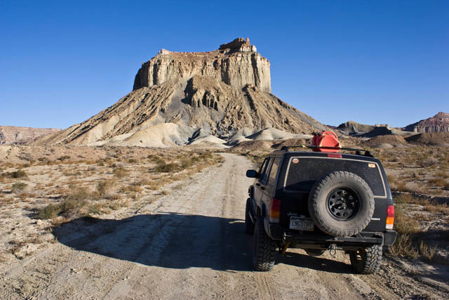
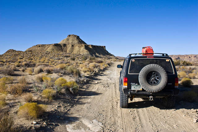
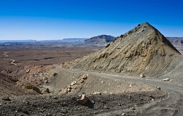
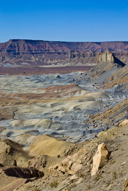
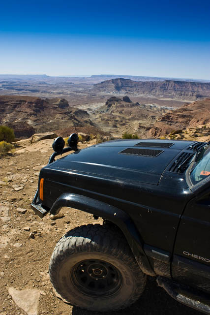
To get off the pavement for a while, I took the Wolverine Loop trail. This was a quick and easy loop.

IMG_9806.jpg


IMG_9809.jpg


IMG_9819.jpg


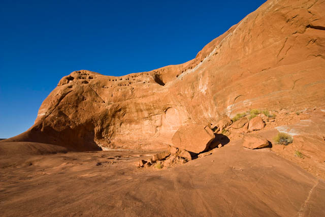
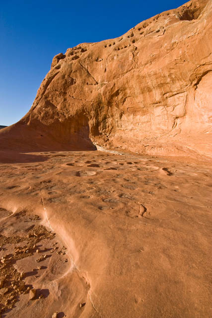
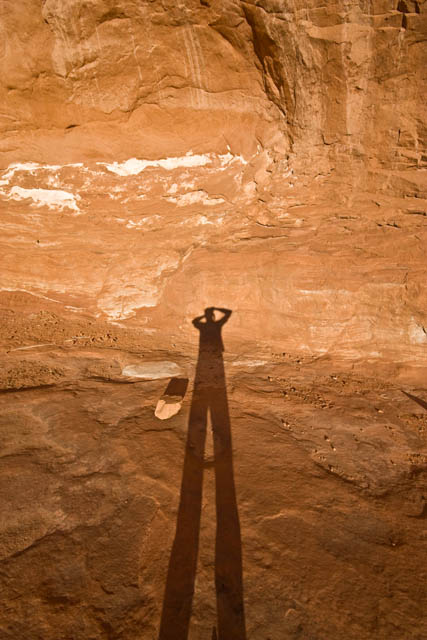
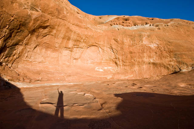
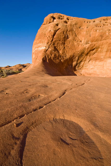
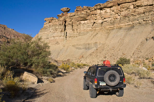
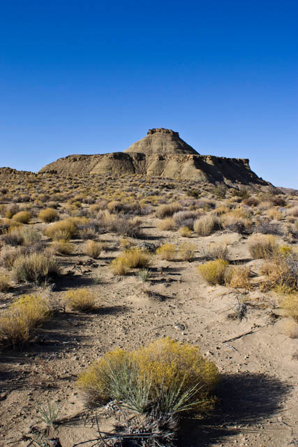
When I reached the Wolverine hiking trail, I took a break from the Jeep and hiked a ways into the wilderness to check out an old petrified forest. There were also some narrows nearby that I want to head back an explore with Amanda sometime.

Large piece of petrified wood
IMG_9827.jpg


IMG_9830.jpg
 

IntrepidXJ

Explorer
Soon I was back the the Burr Trail which finally entered Capitol Reef National Park where it turned to gravel.

Views of the Henry Mountains and Waterpocket Fold as I entered Capitol Reef National Park again.
IMG_9835p.jpg


Another of the highlights of this entire trip was the short spur trail that lead into Upper Muley Canyon. Not only was it a very cool canyon, there were also a number of arches along the way, and the hike to the Strike Valley Overlook at the end gave me great views of the Waterpocket Fold. I took a bunch of photos along this short 3 mile trail....

IMG_9844.jpg


Plenty of views of Peekaboo Arch as you enter Upper Muley Twist
IMG_9855.jpg


IMG_9862.jpg


IMG_9867.jpg


IMG_9879.jpg


IMG_9881.jpg


Double Arch
IMG_9898.jpg
 

Forum statistics

Threads
189,821
Messages
2,921,287
Members
232,931
Latest member
Northandfree
Top