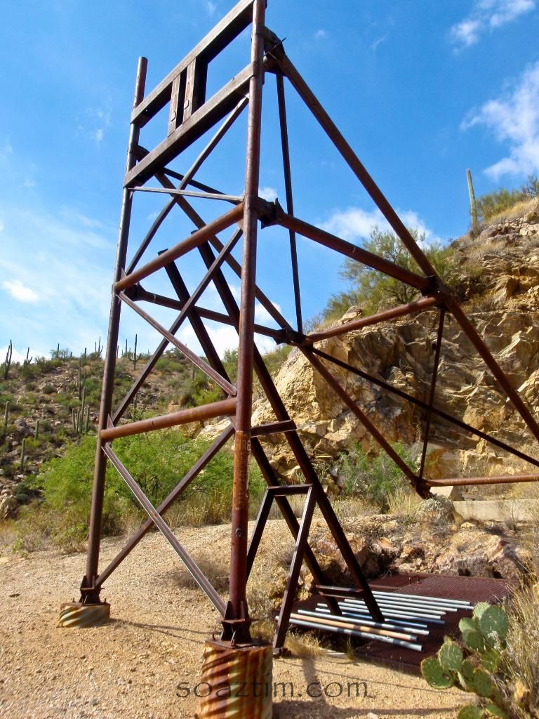
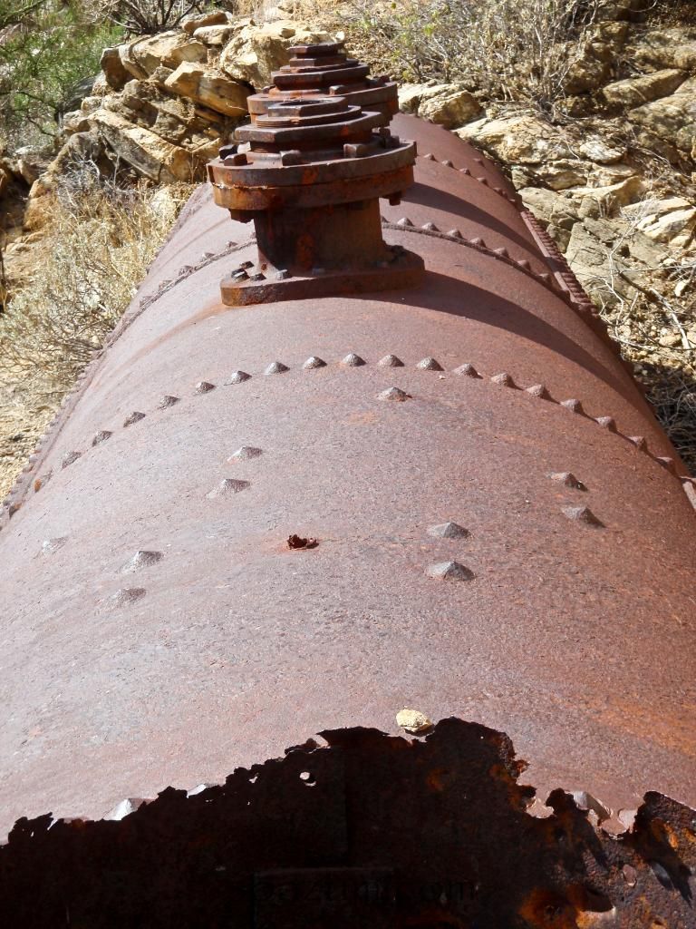
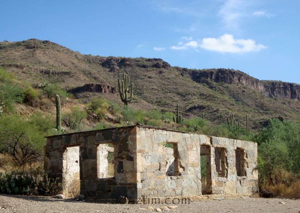
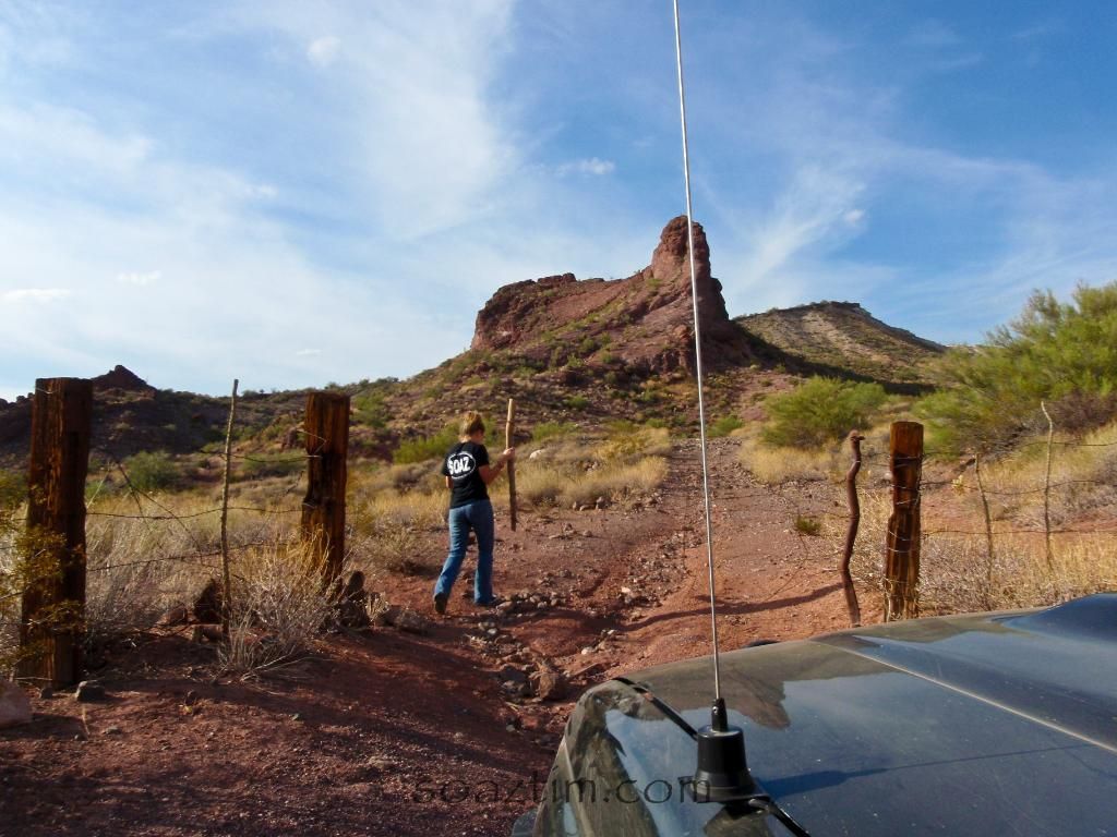
Great photos!
Shucks, Tim - I thought there for a minute you'd found the mythical connection from Tip Top to CK open for 4x4 travel!
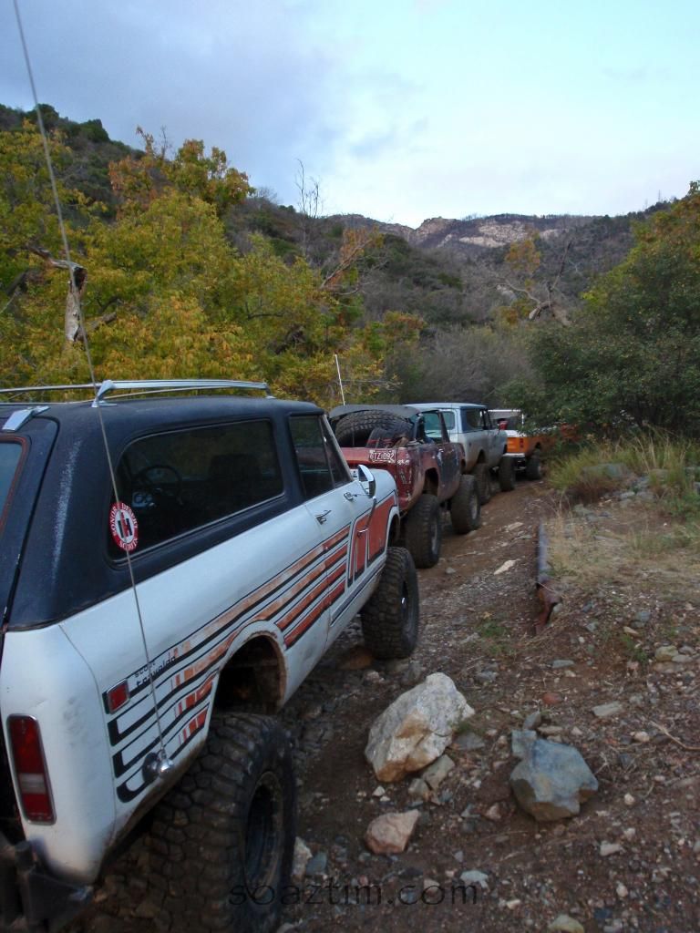
One of my fondest memories of the LP/CK run was encountering the IH club. Great folks - little quirky, but great folks! There was a severely beat Scout II on that run that had a 6" wide ratchet strap all the way around the body to keep it intact!
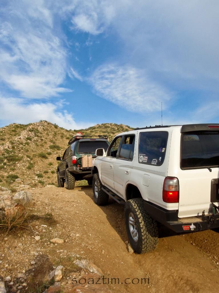
The creek crossings south of the Oro Belle look worse that when I went thru last year.
Believe me, in my mind there still is that elusive road. I tried a couple of ways and just confirmed it would be a brutal/impossible road the way I was trying to go.:drool: Maybe there is another way...
The river crossing's were pretty rough. I could tell there were no recent tracks except for what looked like a 4x4 Quad and those turned around eventually. Then at the verde crossing there were gates that blocked us getting out hence a couple hour side trip to Lake Pleasant to get out. I hate it when groups close an area and don't take the time to close it on all sides.
Even if I have to do it via a punishing motorcycle ride. I'm going to try it via 4x4 at least one more time though. Wanna go!?:elkgrin:
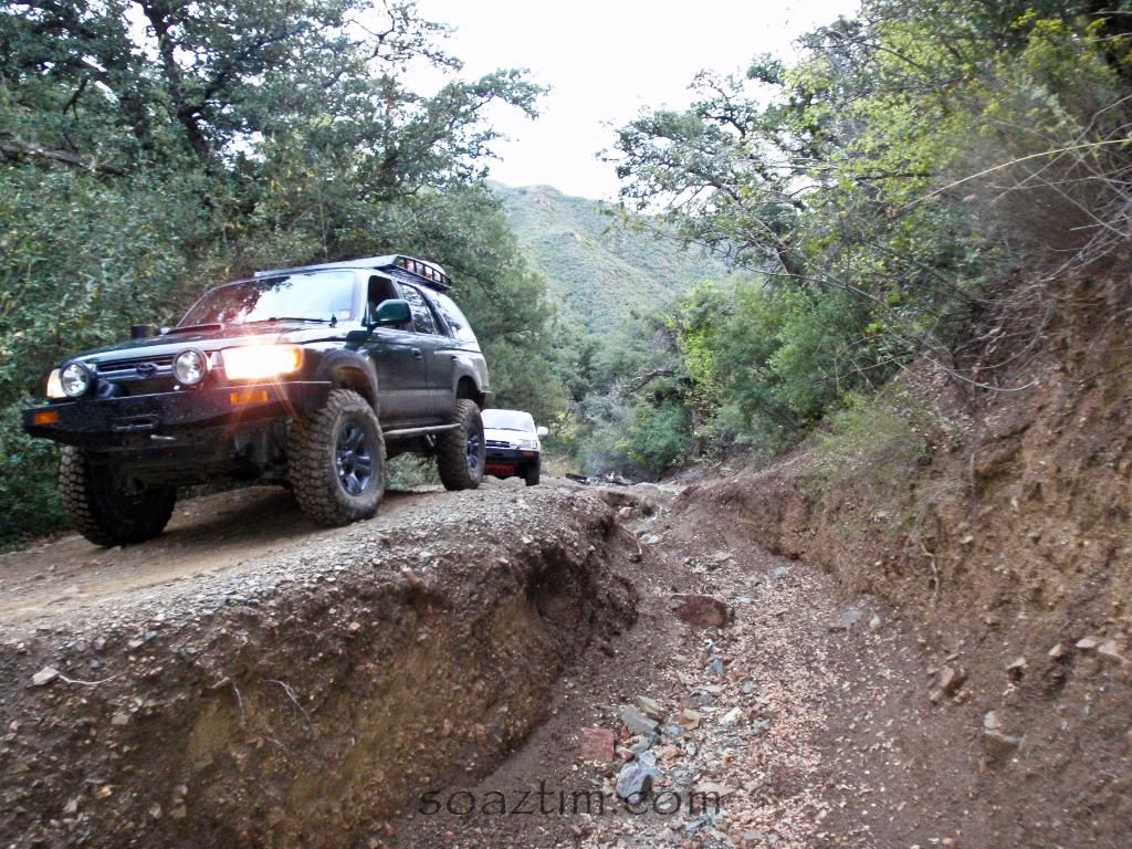
The Harvester guys were great. Very funny and they didn't take themselves too seriously, which for some groups is rare. Kudo's to them for staying around to help me out over that rock too. Sad, that I've made it through that section in a prerunner and when the 4runner was stock, but I claim erosion! :wings:
")